


Grand Bisse de Lens
The Grand Bisse de Lens hike is offered here in the direction of the water flow, that is starting from Icogne to end at Chermignon-d'en-Bas. These two endpoints are served by public transport. You will...
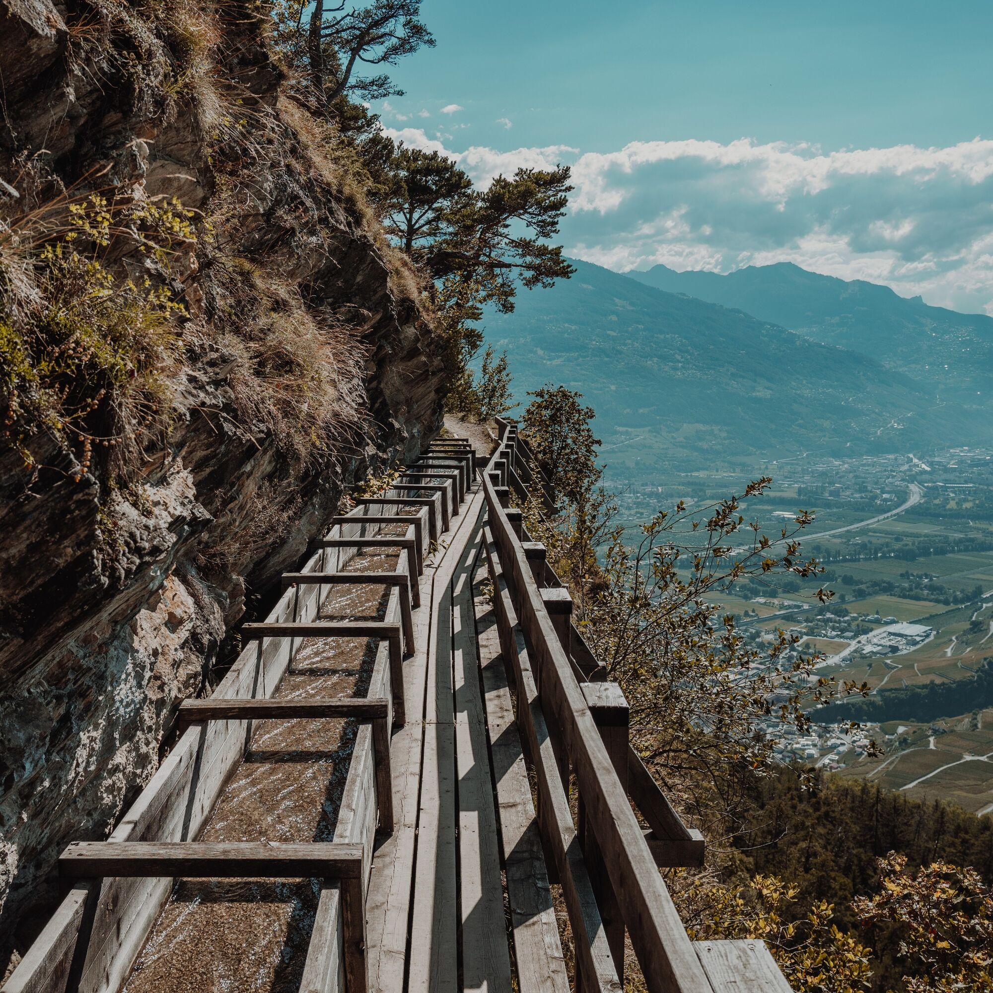
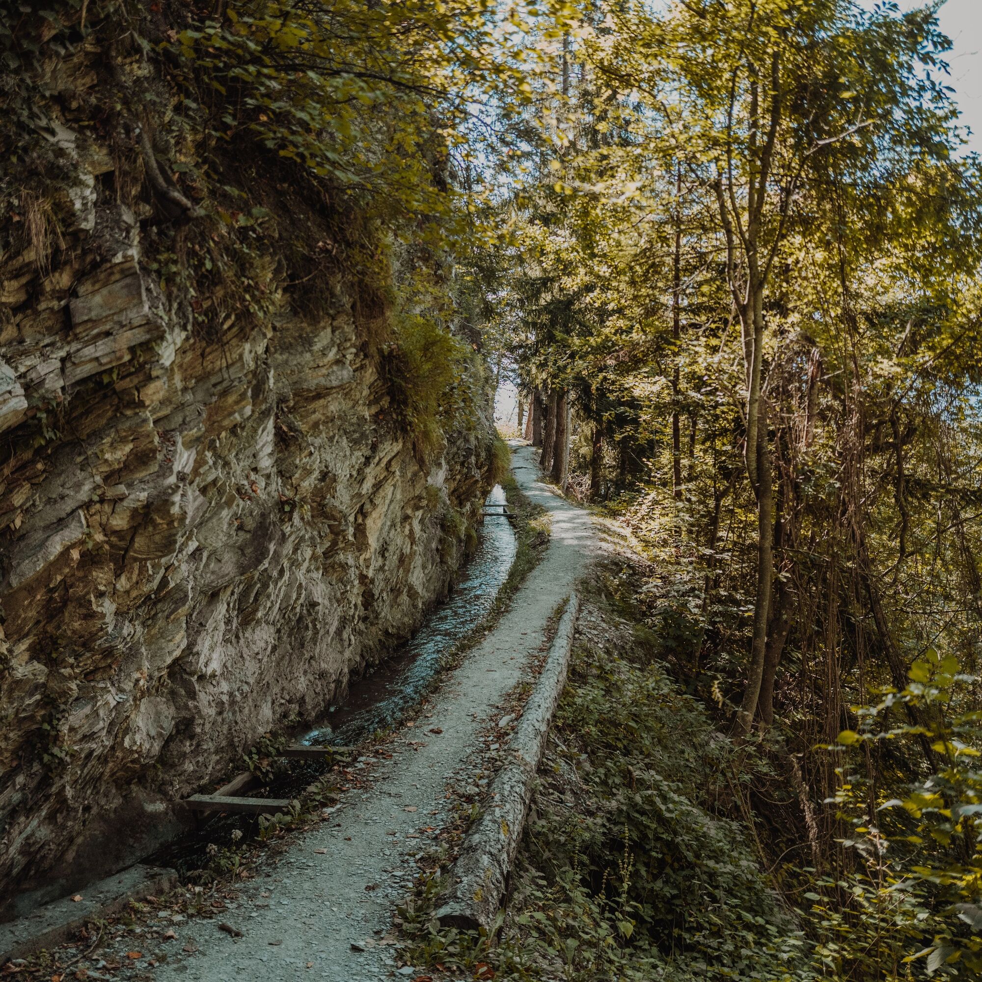
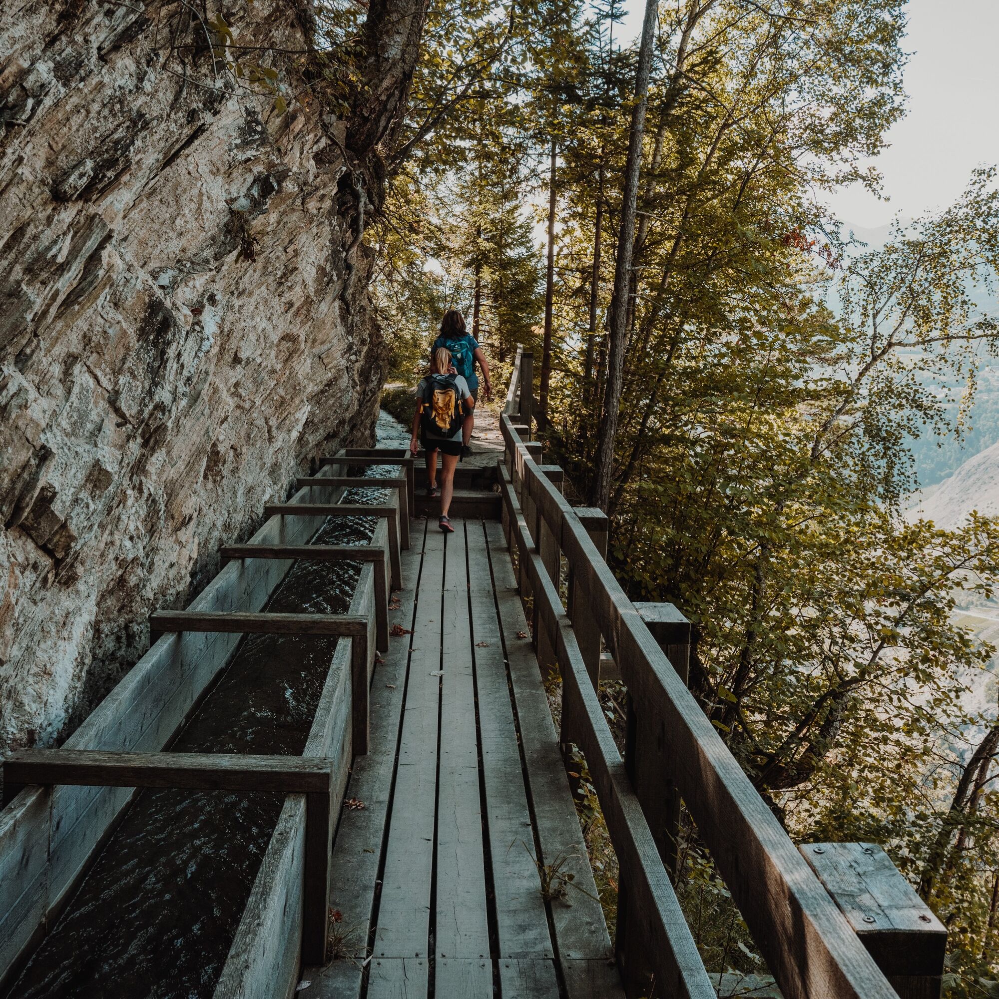
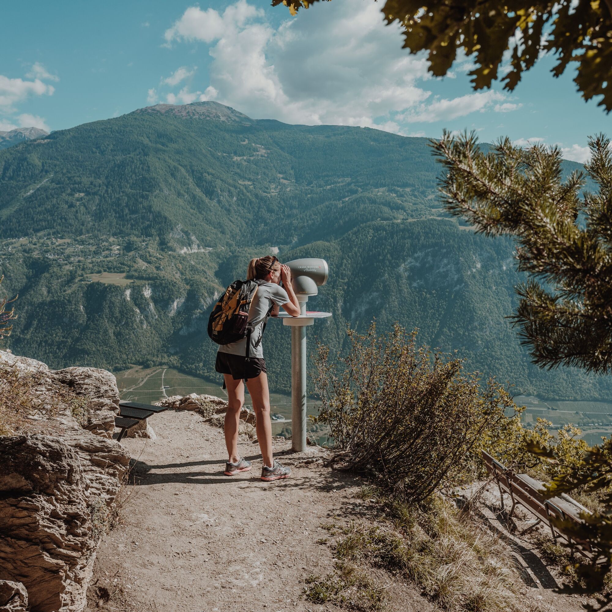
The Grand Bisse de Lens hike is offered here in the direction of the water flow, that is starting from Icogne to end at Chermignon-d'en-Bas. These two endpoints are served by public transport. You will walk on the trail of the structure built in the 15th century to bring water from the Lienne upstream of the hillside for irrigation. Recently, this section of the bisse has been restored to be fully rewetted. Thus the trail once reserved for maintenance of the structure, steep and without protection, is now equipped for use by everyone. Larch channels and footbridges allow water and the public to go around the Christ the King hill in a magnificent setting overlooking the Rhône plain.

Departure from Icogne at Route du Village - Chemin de Grand Bisse du Lens - Bisse de Lens - Lac de Combuissan - Arrival at Chermignon-d'en-Bas at Rue des Pirredrittes, at the football field
Tak
Tak
Good walking shoes.
As the weather changes quickly at altitude, bring clothes accordingly.
Certain passages are not recommended for people prone to vertigo.
Follow the marked trails. Please respect the fauna, flora: nature.
Check the weather conditions before your departure.
Crans-Montana Tourism & Congress declines all responsibility in case of accident.
You cross the villages of Champlan/Grimisuat/Botyre (Ayent). In the village of Botyre/Ayent, follow the signs for Crans-Montana and follow the road for about 5 km to Icogne.
The journey takes about 20 minutes from the motorway exit.
The closest stop to the start of the hike is: Icogne, Village
Cachiblio outdoor free parking
For more information: www.crans-montana.ch/rando
As of October 30, 2025, the extension from Icogne to Lienne will be closed.

Popularne wycieczki w okolicy
- 5,0
Bella-Tola
średniWycieczka wysokogórska 6,72 km - 4,0
Tripon - Brac – Ancien Bisse du Torrent Neuf – St. Marguerite – Torrent Neuf – Prafirmin - St. Germain
światłoWędrówka 12,9 km - 4,0
Belvédère via ferrata
średniVia ferrata 1,81 km - 5,0
Wildstrubel Umrundung 4-Tage
średniWędrówka 79,1 km Grand bisse d’Ayent
średniWędrówka 11,7 km- 5,0
Tour des lapiaz de Zanfleuron
średniWędrówka 9,64 km - 4,5
Sentier viticole / Wine trail
światłoWędrówka 7,49 km Bisse du Tsittoret
średniWędrówka 10,6 km- 5,0
Wine route: Venthône – Leuk (Stage 4)
średniWędrówka 12,8 km - 5,0
Mayentset Bike
średniMountainbike 21,6 km

Wędrówki i tropienie


Nie przegap ofert i inspiracji na następne wakacje
Twój adres e-mail została dodana do listy mailingowej.