© Unbekannt

© Unbekannt

- Krótki opis
-
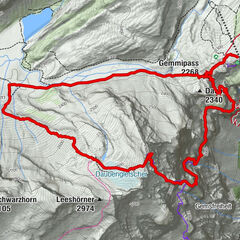
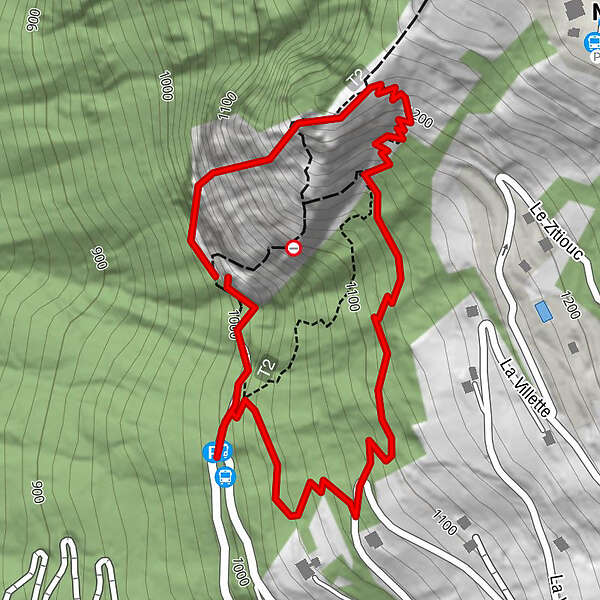
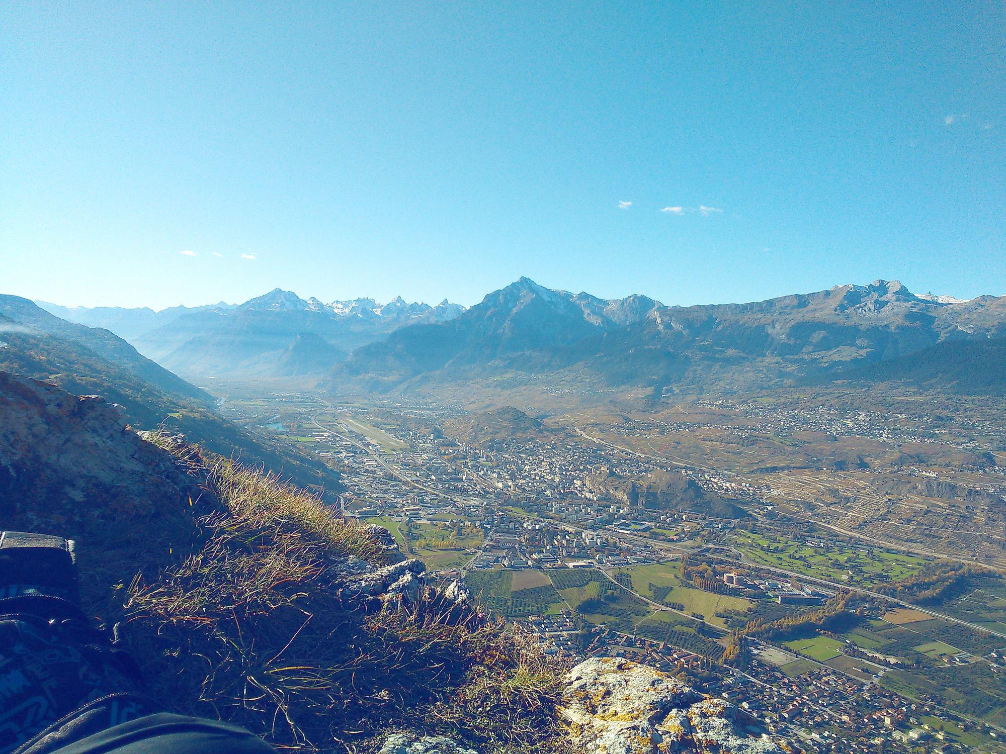
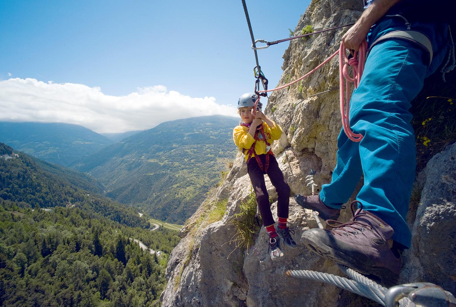
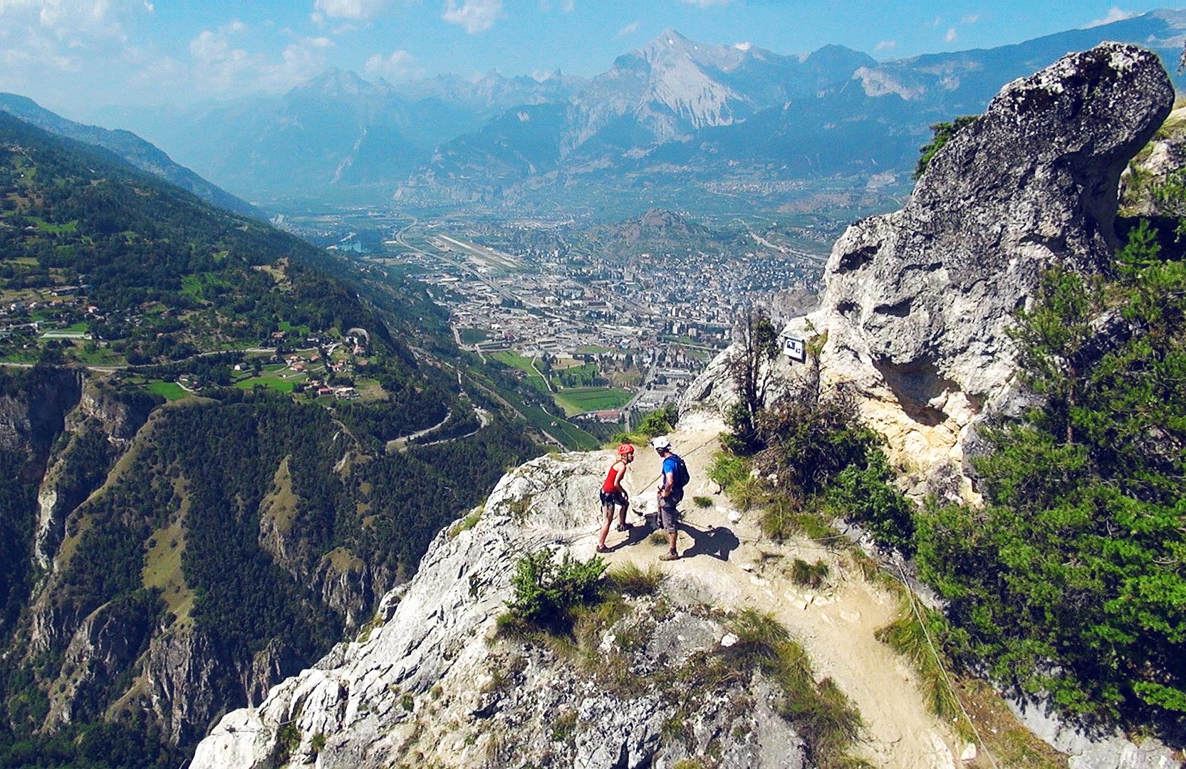
The Nax/Mont-Noble via ferrata in the Val d'Hérens is considered to be one of the least difficult climbs of this kind in the region, and will give you a fantastic view over the Rhône valley.
- Stopień trudności
-
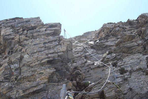
średniStopień trudności C
- Ocena
-
- Trasa
-
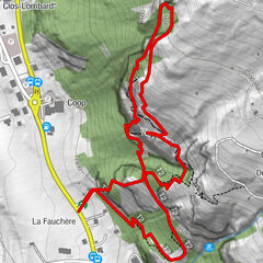
Le Belvédère (1.224 m)0,2 kmNax (1.265 m)0,4 km
- Najlepszy sezon
-
stylutmarkwimajczelipsiewrzpaźlisgru
- Najwyższy punkt
- 1.216 m
- Miejsce docelowe
-
Switchback beyond Rochers de Nax
- Exposition
- Profil wysokości
-
 © outdooractive.com


- Autor
-
Wycieczka Belvédère via ferrata jest używany przez outdooractive.com pod warunkiem.
GPS Downloads


Informacje ogólne
Fauna
Obiecujący
Więcej wycieczek w regionach