


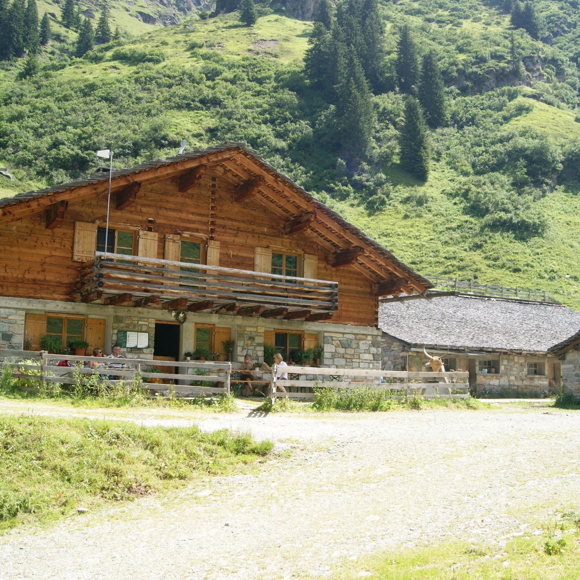
Tübinger Hut - Silvretta
Zdjęcia naszych użytkowników
-

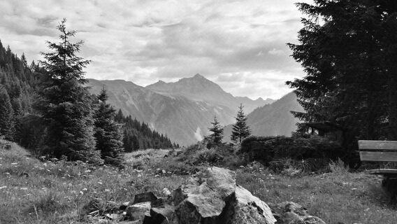
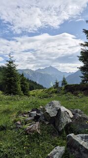
 © Carla SteegsUtworzono dnia 13.09.2025
 -
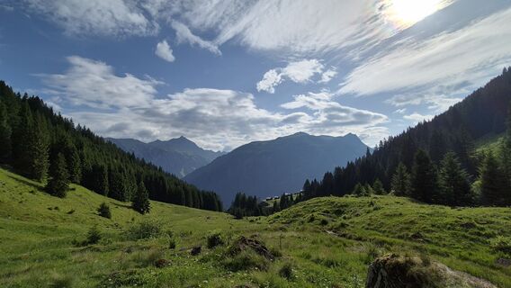
 © Carla SteegsUtworzono dnia 13.09.2025
 -
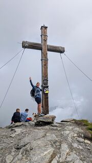
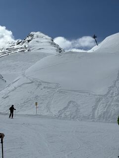
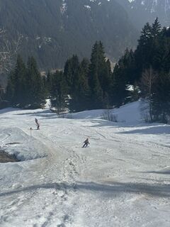
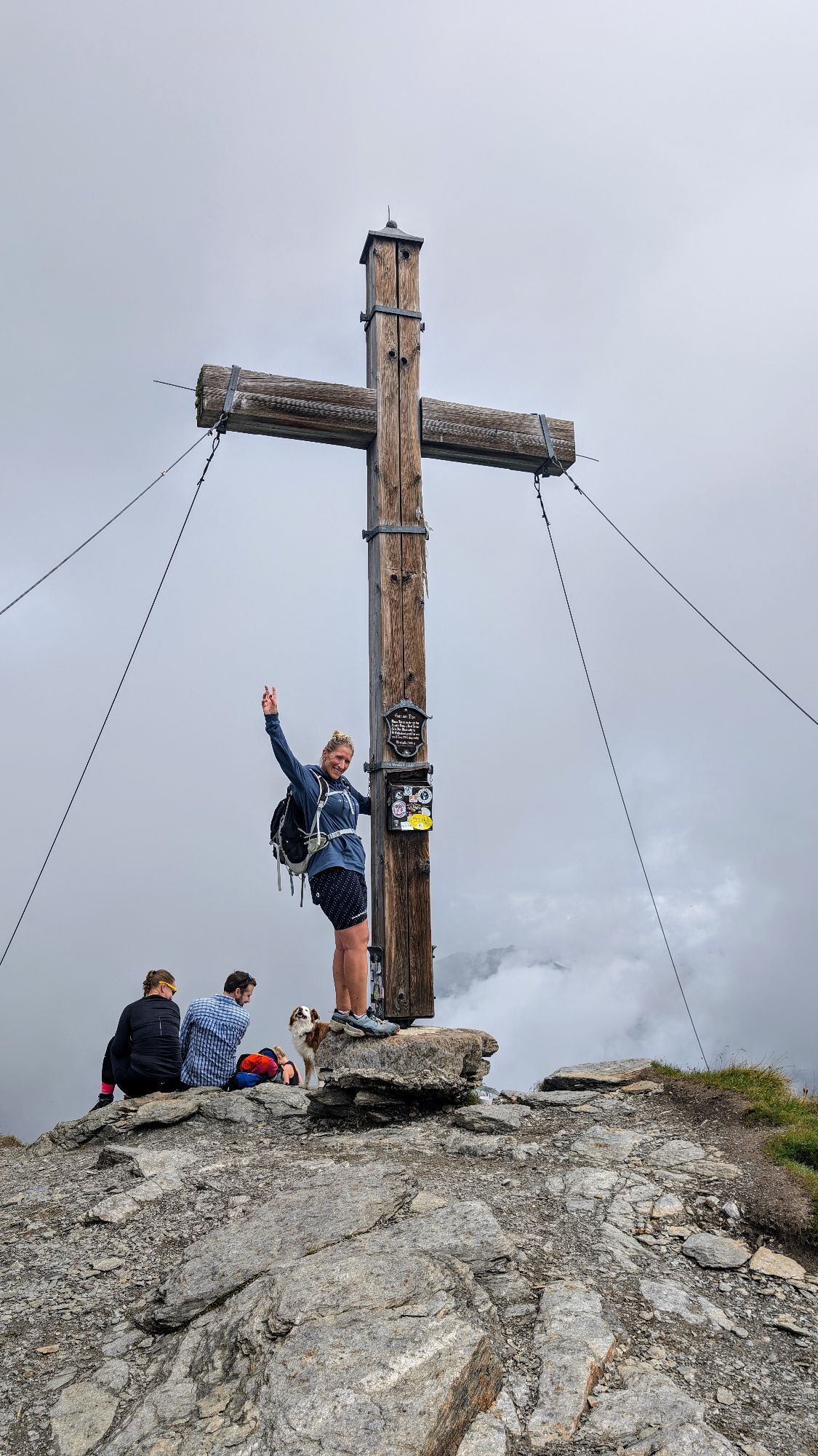
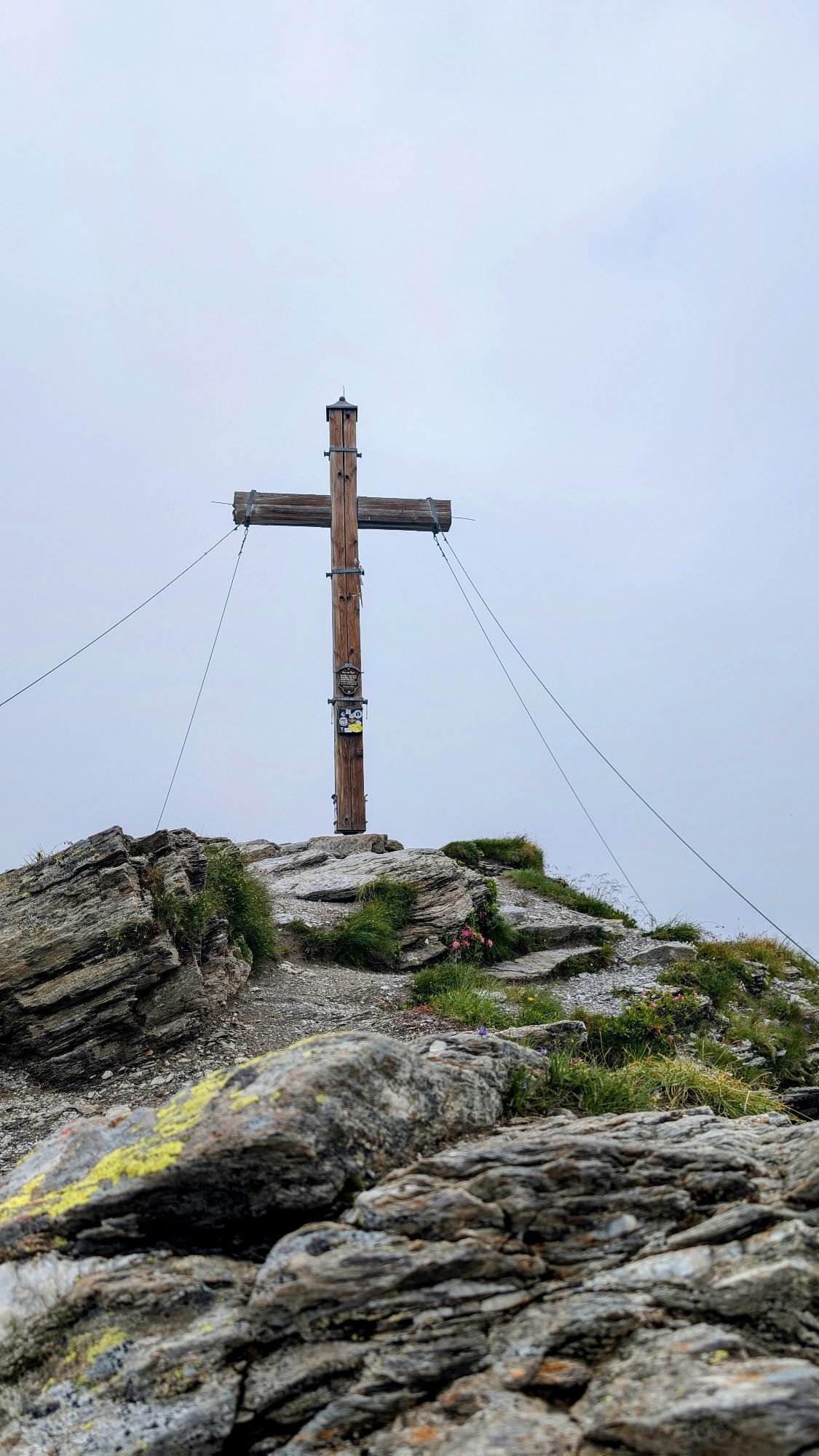
 © Philippwoods85Utworzono dnia 07.08.2025
 -
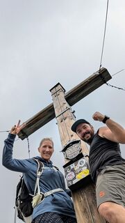
 © Philippwoods85Utworzono dnia 07.08.2025
 -
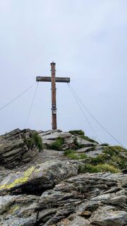
 © Philippwoods85Utworzono dnia 07.08.2025
 -
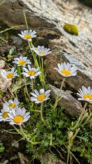
 © Philippwoods85Utworzono dnia 07.08.2025
 -
 © Philippwoods85Utworzono dnia 07.08.2025
 -
 © Philippwoods85Utworzono dnia 07.08.2025
 -
 © Philippwoods85Utworzono dnia 07.08.2025
 -
 © Philippwoods85Utworzono dnia 07.08.2025
 -
 © Philippwoods85Utworzono dnia 07.08.2025
 -
 © Philippwoods85Utworzono dnia 07.08.2025
 -
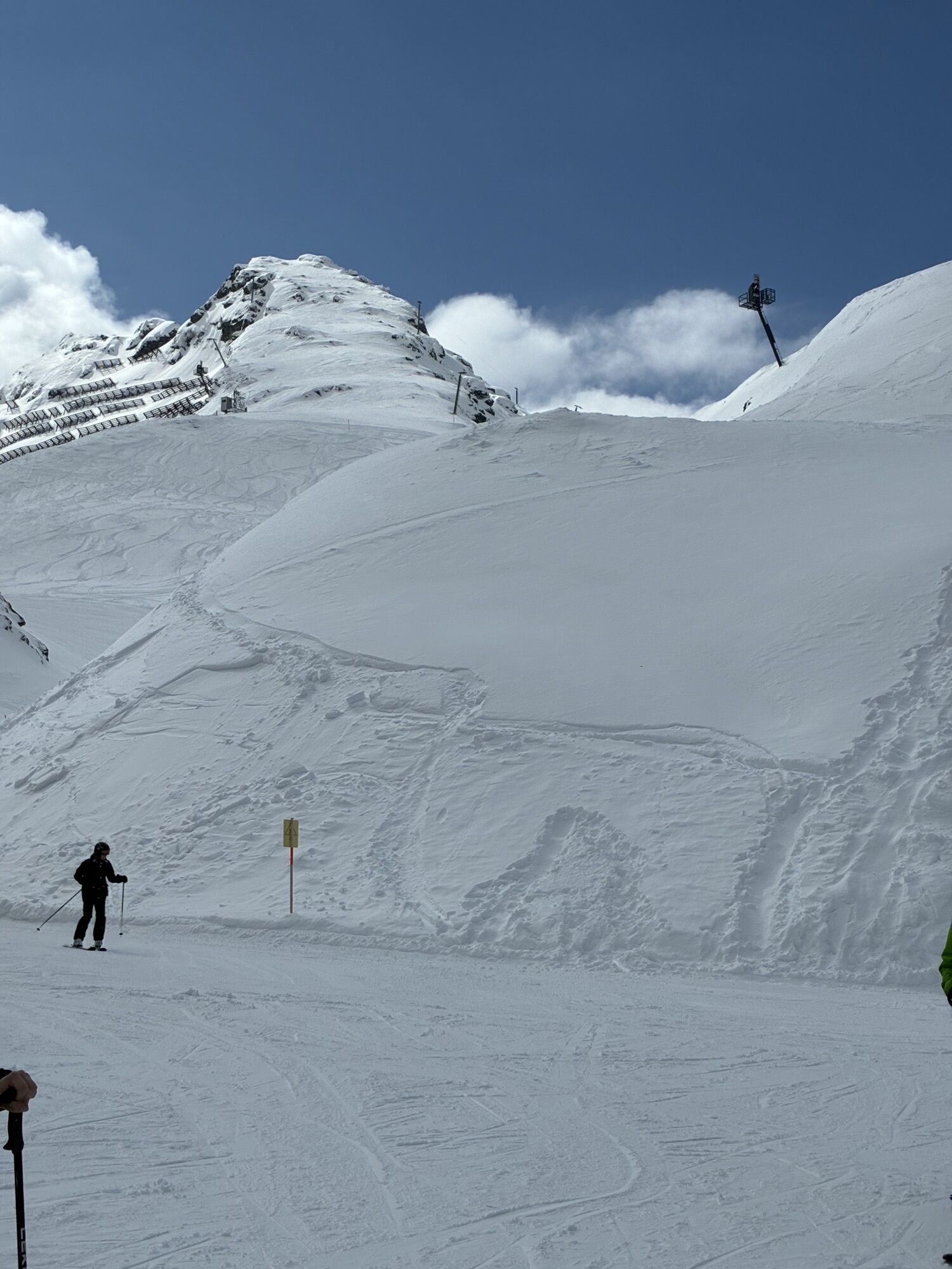
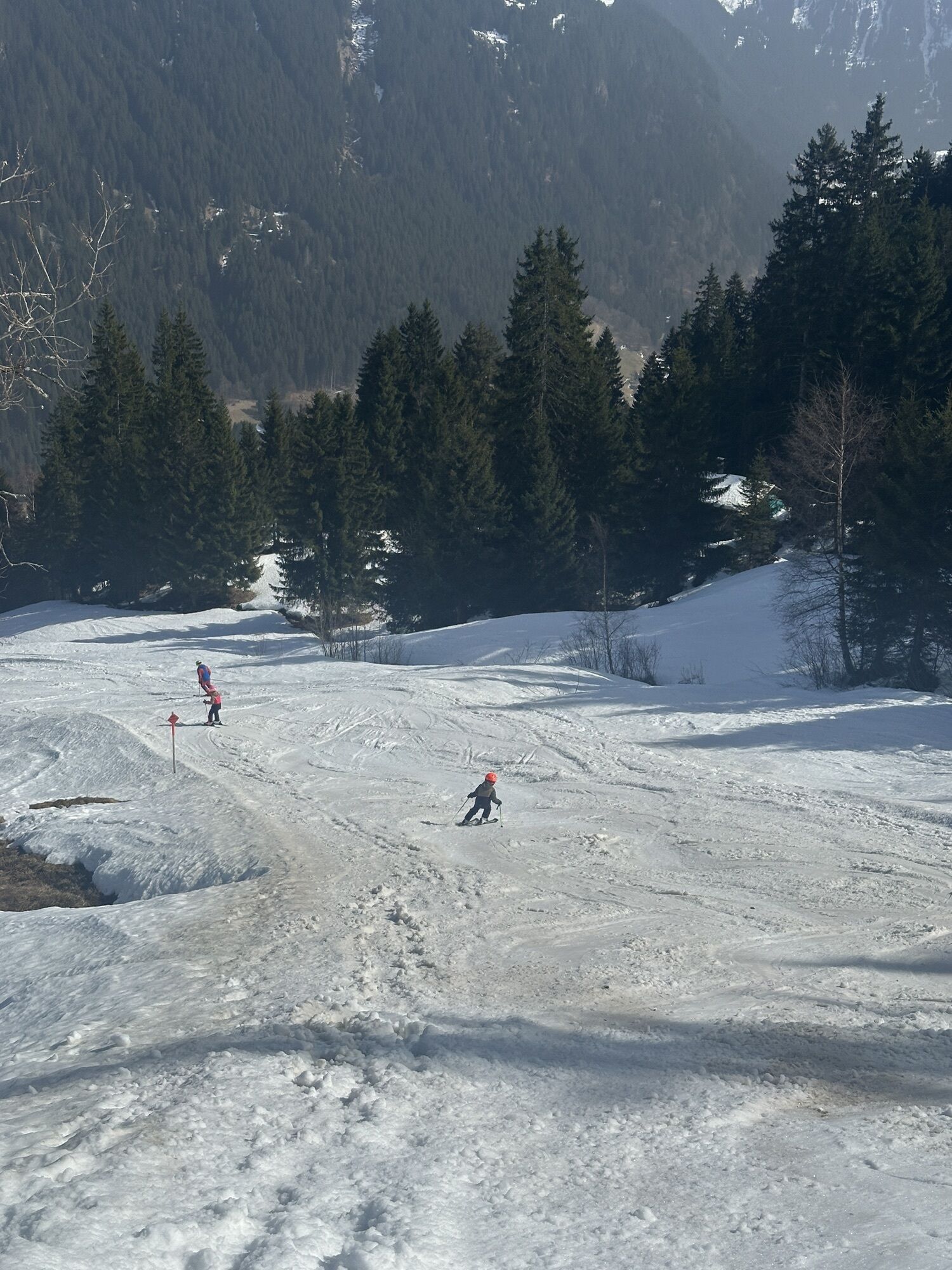
 © Xenia LangeUtworzono dnia 24.08.2024
 -
 © Xenia LangeUtworzono dnia 24.08.2024
 -
 © Xenia LangeUtworzono dnia 24.08.2024
 -
 © Xenia LangeUtworzono dnia 24.08.2024
 -
 © Xenia LangeUtworzono dnia 24.08.2024
 -
 © Xenia LangeUtworzono dnia 24.08.2024
 -
 © Xenia LangeUtworzono dnia 24.08.2024
 -
 © Xenia LangeUtworzono dnia 24.08.2024
 -
 © Xenia LangeUtworzono dnia 24.08.2024
 -
 © Xenia LangeUtworzono dnia 24.08.2024
 -
 © Klaus LehnerUtworzono dnia 23.07.2024
 -
 © Klaus LehnerUtworzono dnia 23.07.2024
 -
 © Klaus LehnerUtworzono dnia 23.07.2024
 -
 © Klaus LehnerUtworzono dnia 23.07.2024
 -
 © Klaus LehnerUtworzono dnia 23.07.2024
 -
 © Klaus LehnerUtworzono dnia 23.07.2024
 -
 © Luis MarkertUtworzono dnia 03.04.2026
 -
 © Wolmar13Utworzono dnia 12.03.2026
 -
 © ChristianUtworzono dnia 08.03.2026
 -

 © Breitenberger EvaUtworzono dnia 25.02.2026
 -
 © Benjamin SemmlerUtworzono dnia 20.01.2026
 -

 © BarbischNicoleUtworzono dnia 23.06.2025
 -
 © BarbischNicoleUtworzono dnia 23.06.2025
 -
 © BarbischNicoleUtworzono dnia 23.06.2025
 -
 © BarbischNicoleUtworzono dnia 23.06.2025
 -
 © BarbischNicoleUtworzono dnia 23.06.2025
 -
 © BarbischNicoleUtworzono dnia 23.06.2025
 -
 © BarbischNicoleUtworzono dnia 23.06.2025
 -
 © BarbischNicoleUtworzono dnia 23.06.2025
 -
 © BarbischNicoleUtworzono dnia 05.03.2025
 -
 © BarbischNicoleUtworzono dnia 05.03.2025
 -
 © BarbischNicoleUtworzono dnia 05.03.2025
 -
 © BarbischNicoleUtworzono dnia 05.03.2025
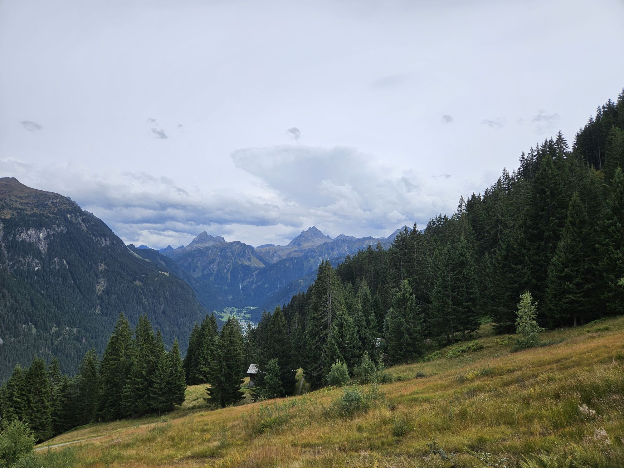
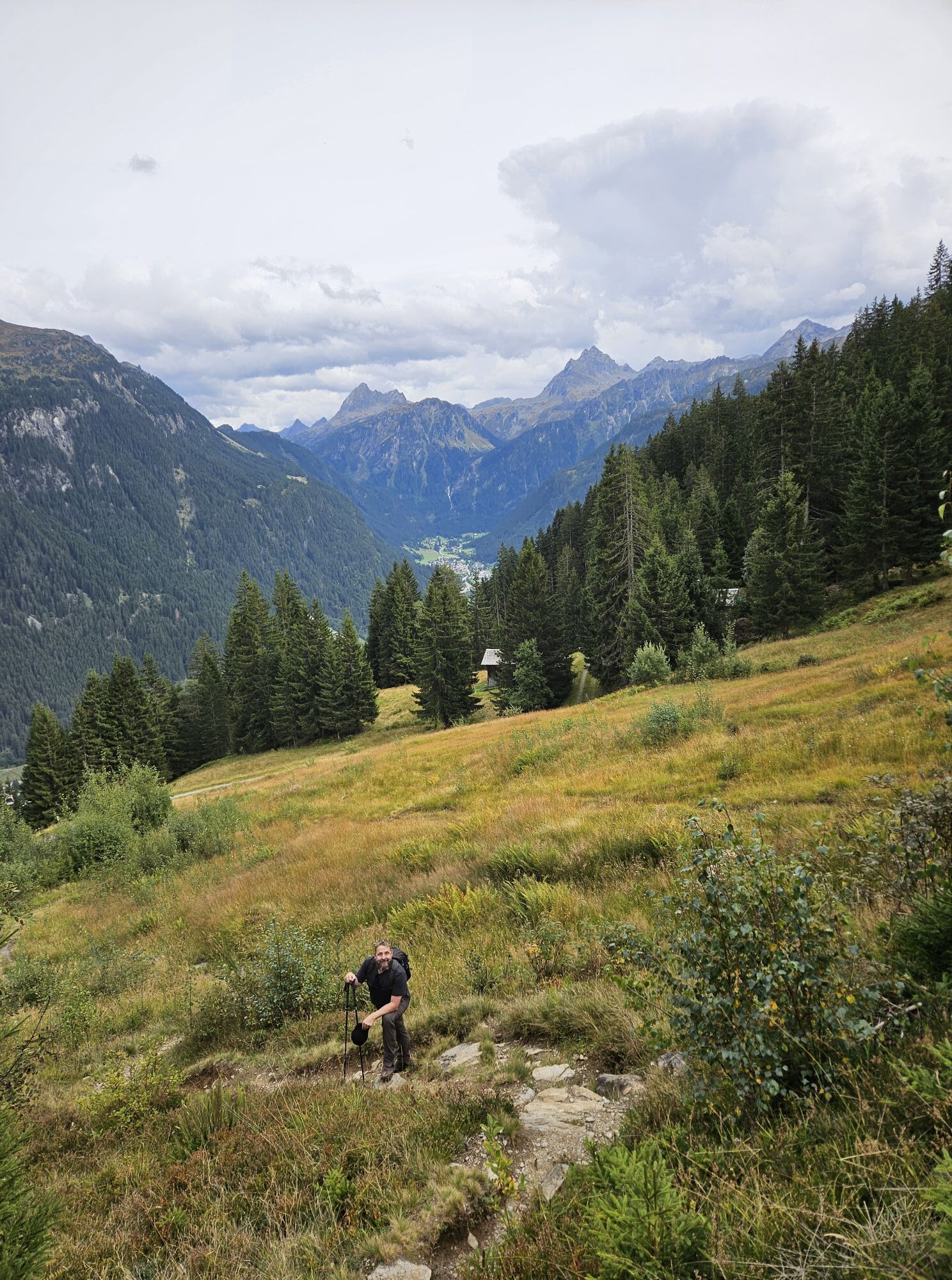


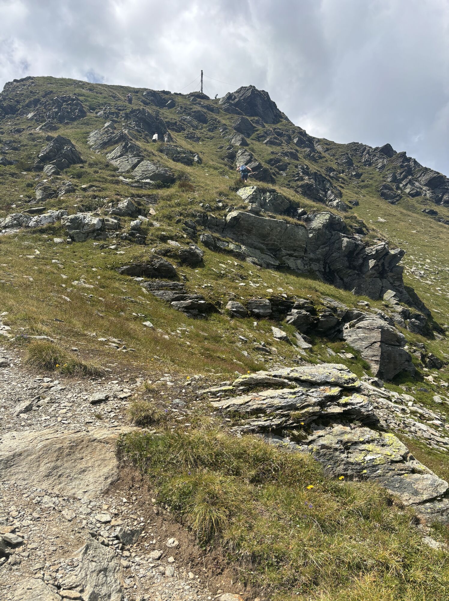

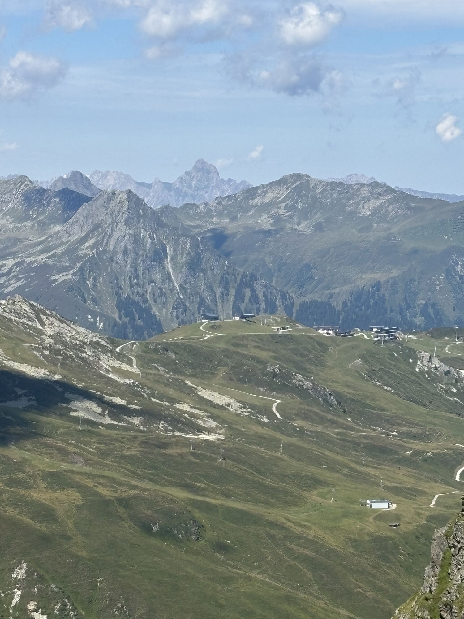
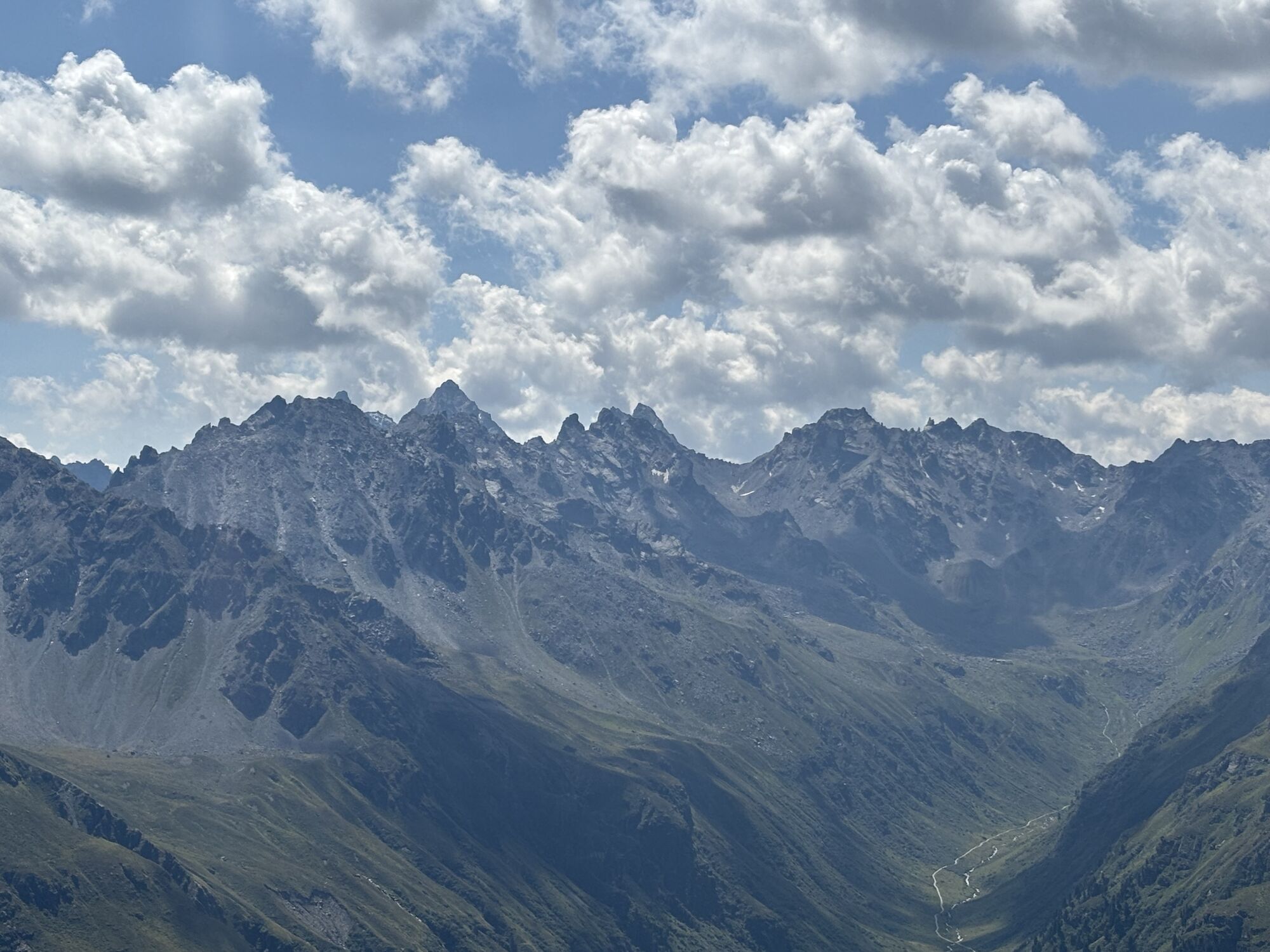

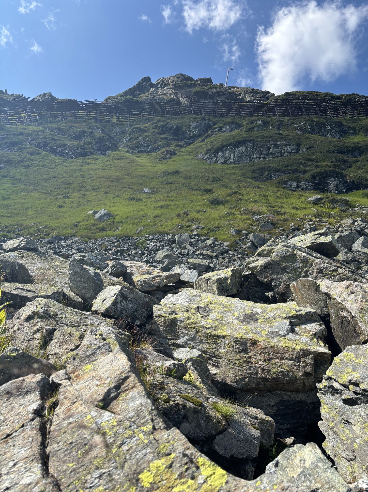
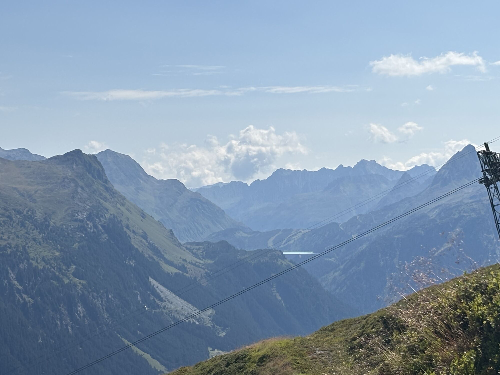
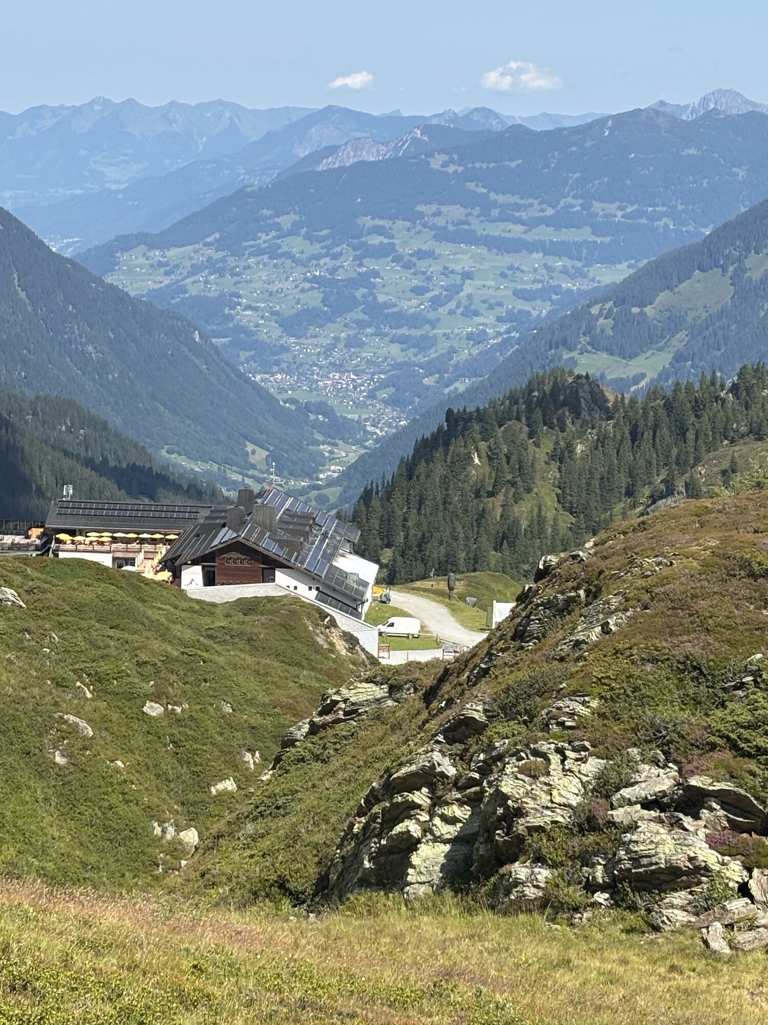
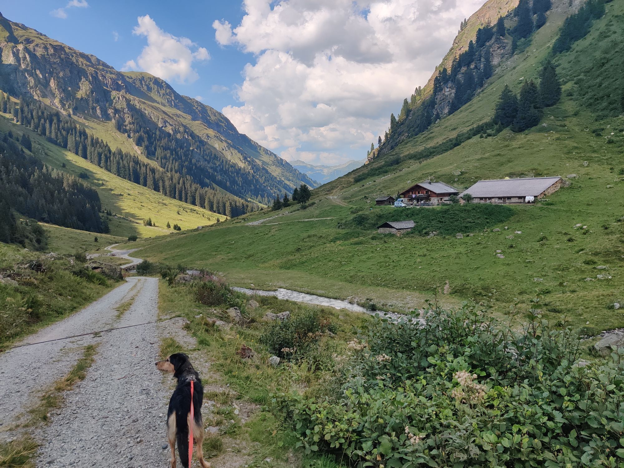


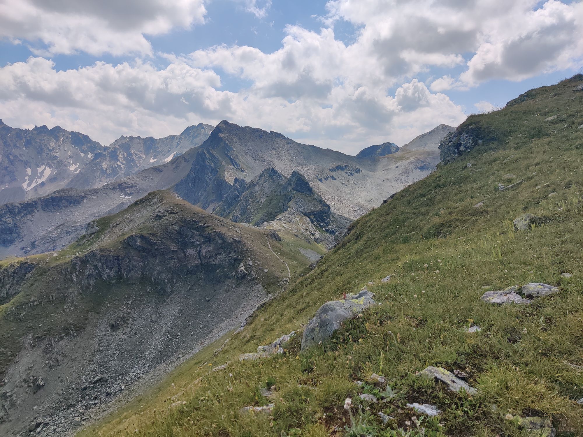
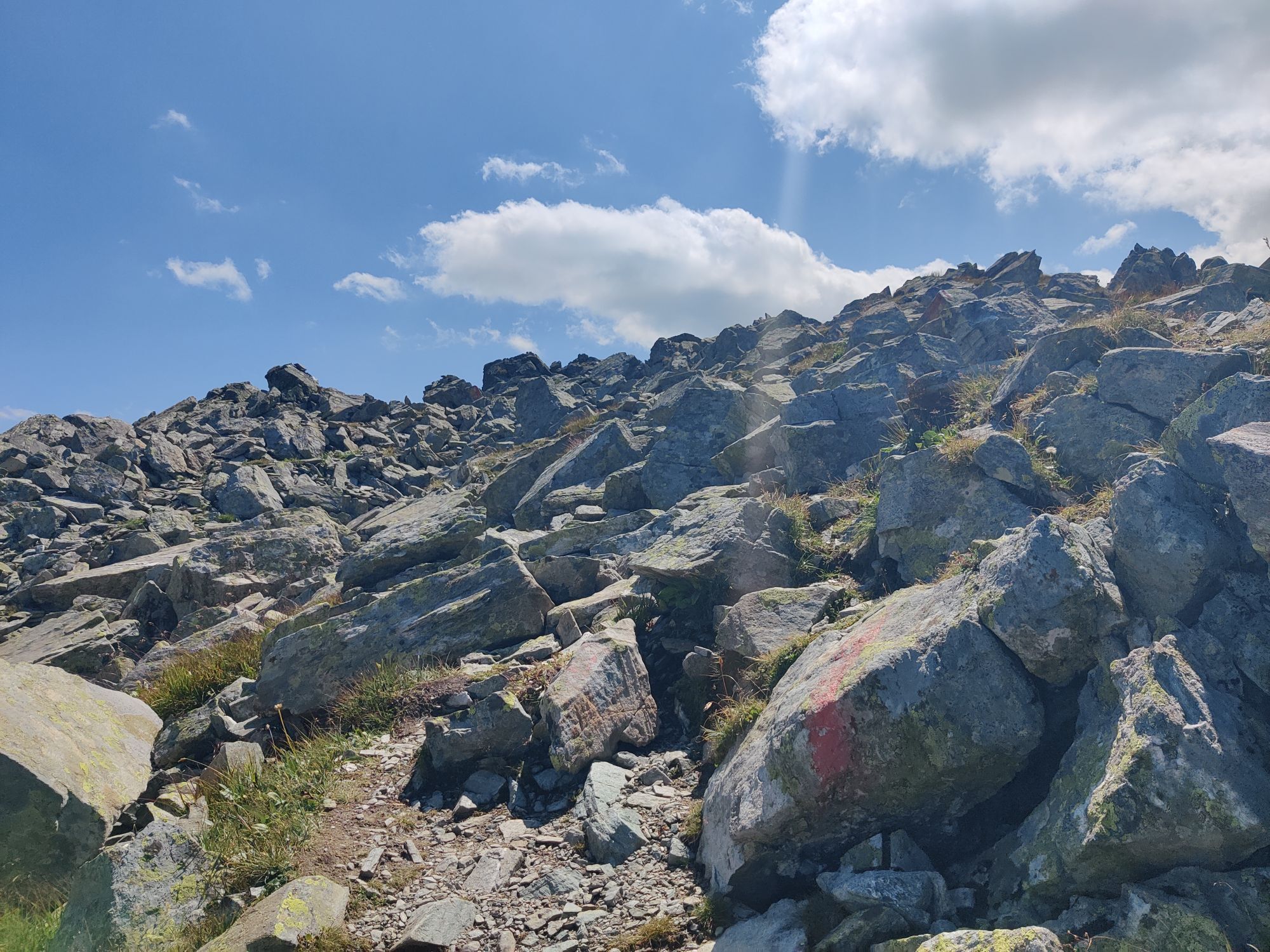
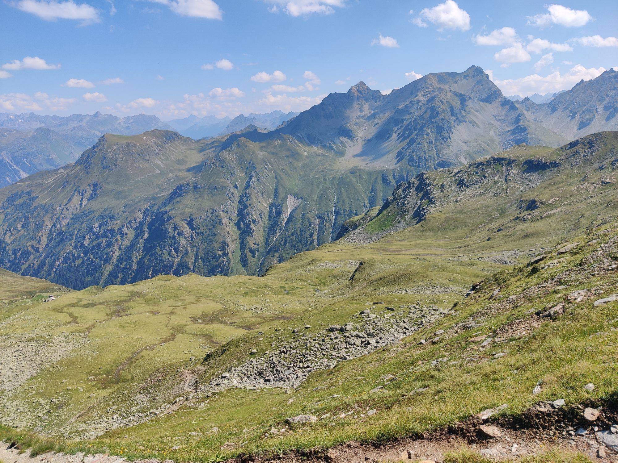

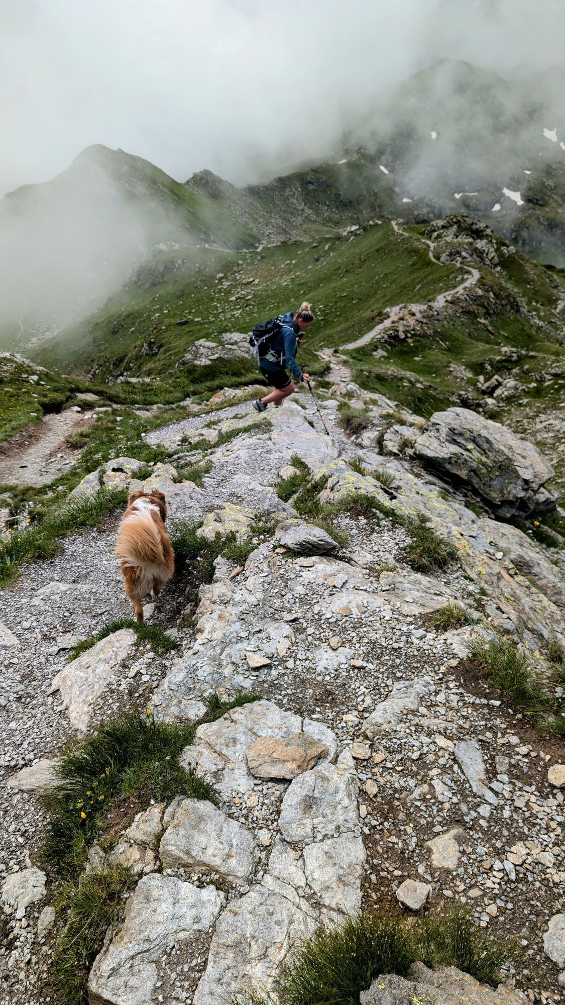


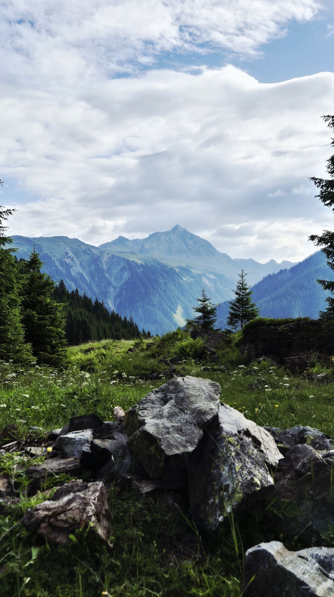

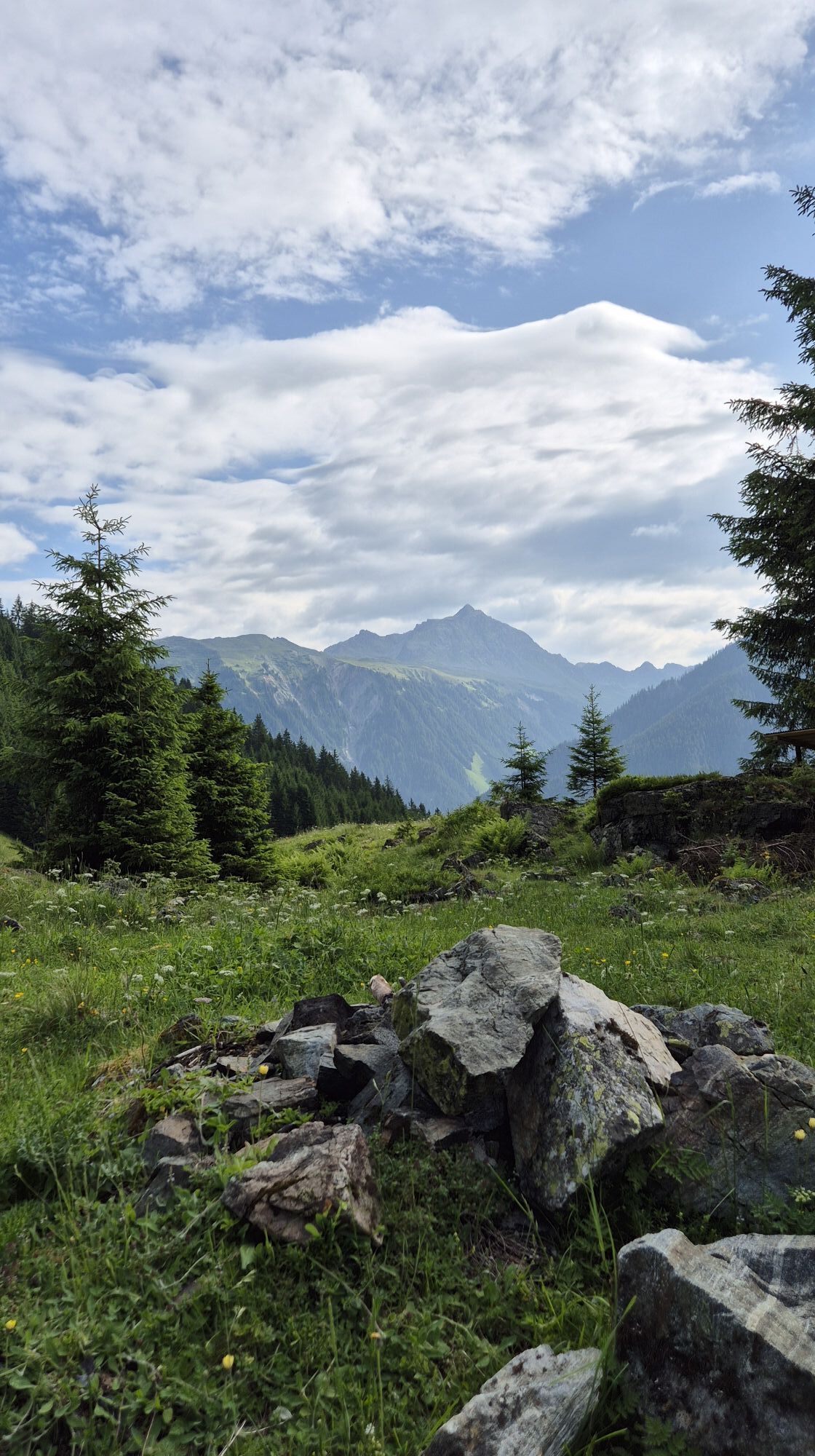
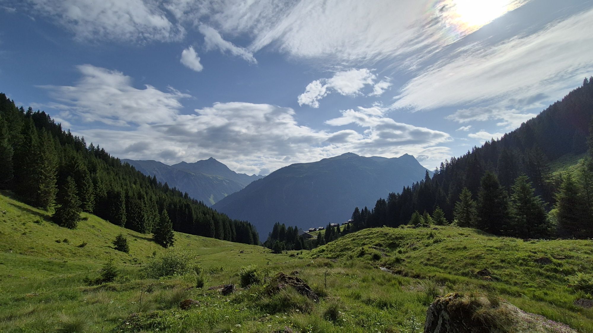

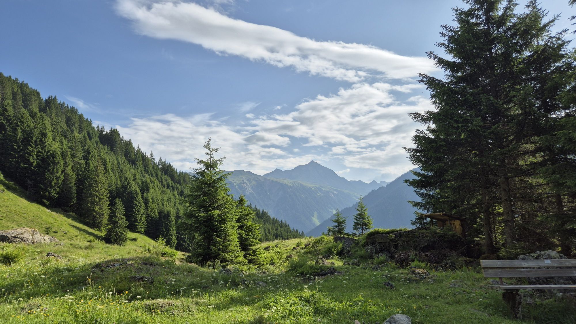
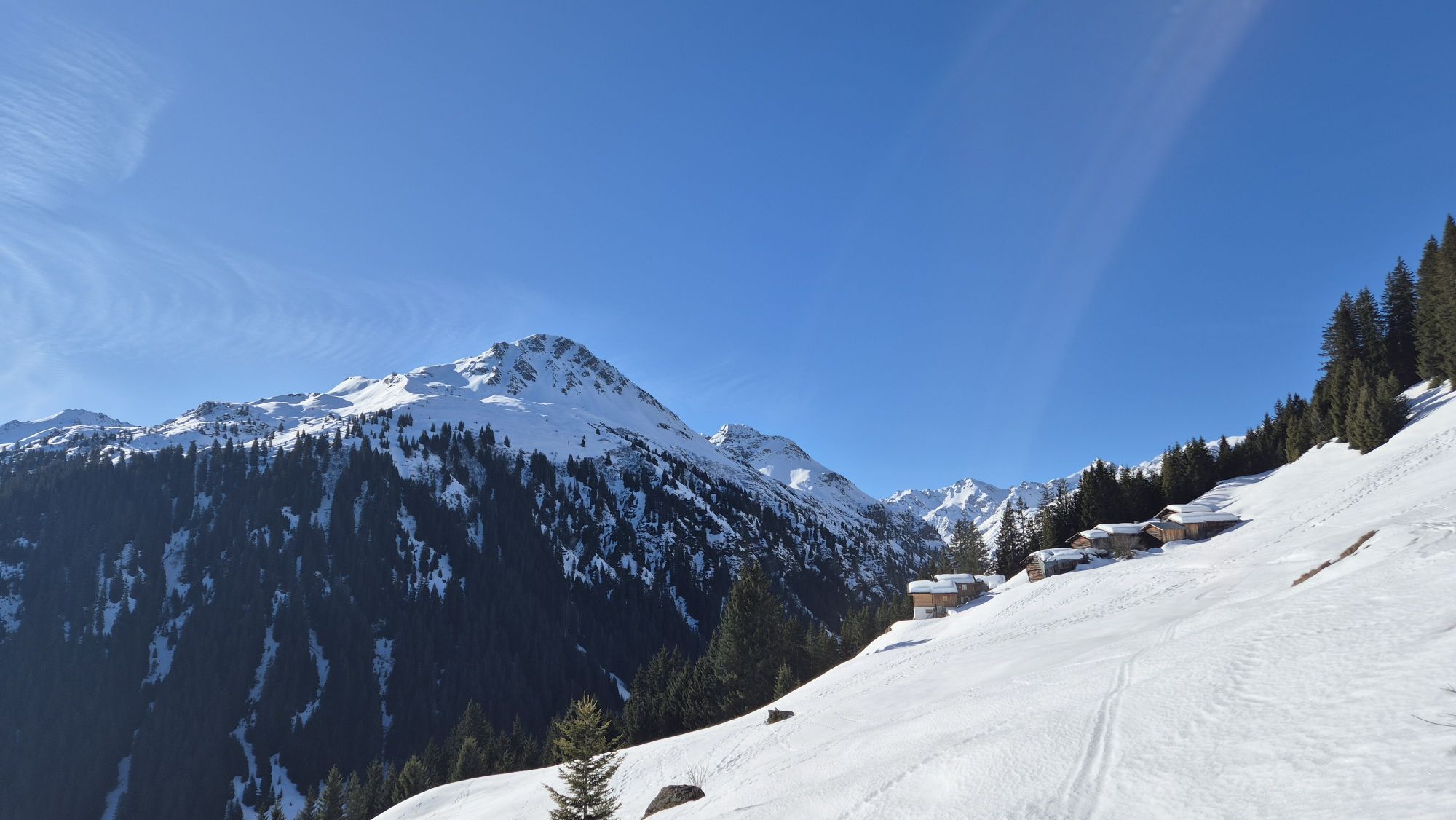
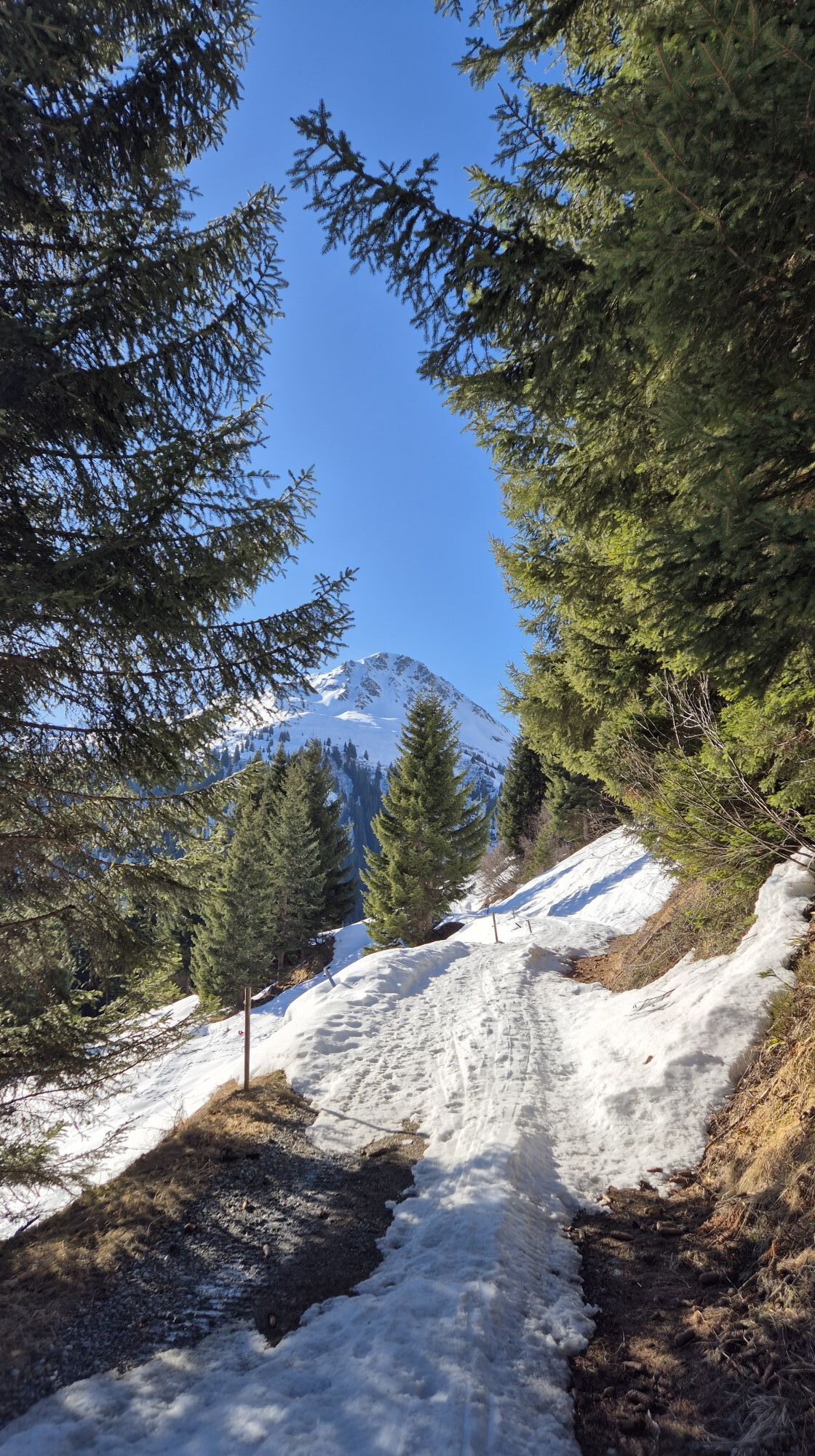

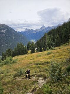
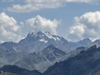
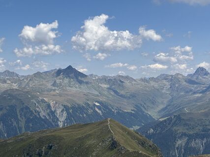
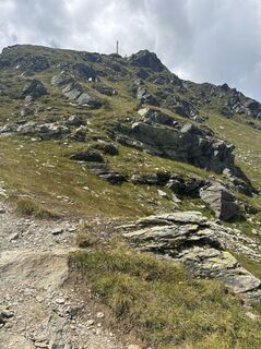
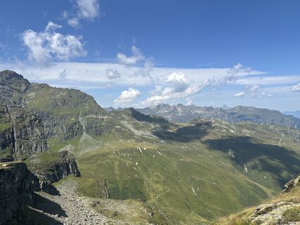
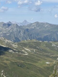
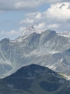
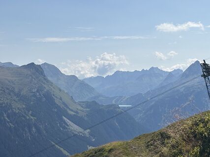
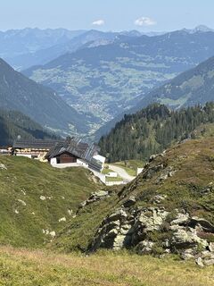
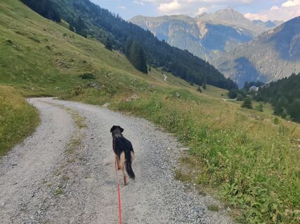
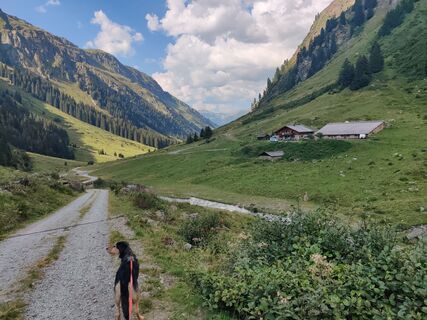
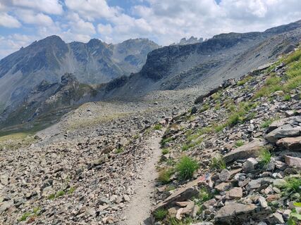
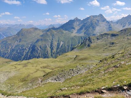
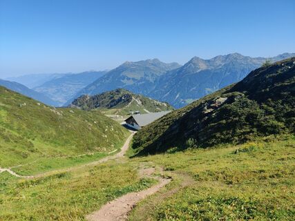
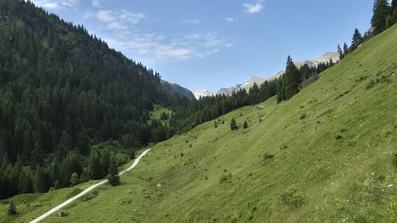
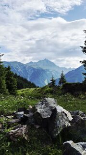
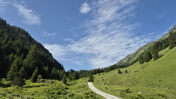
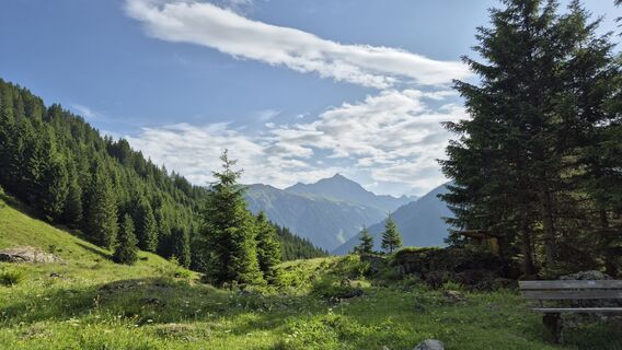
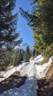
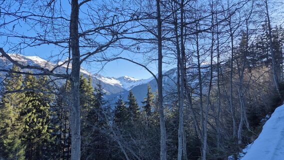
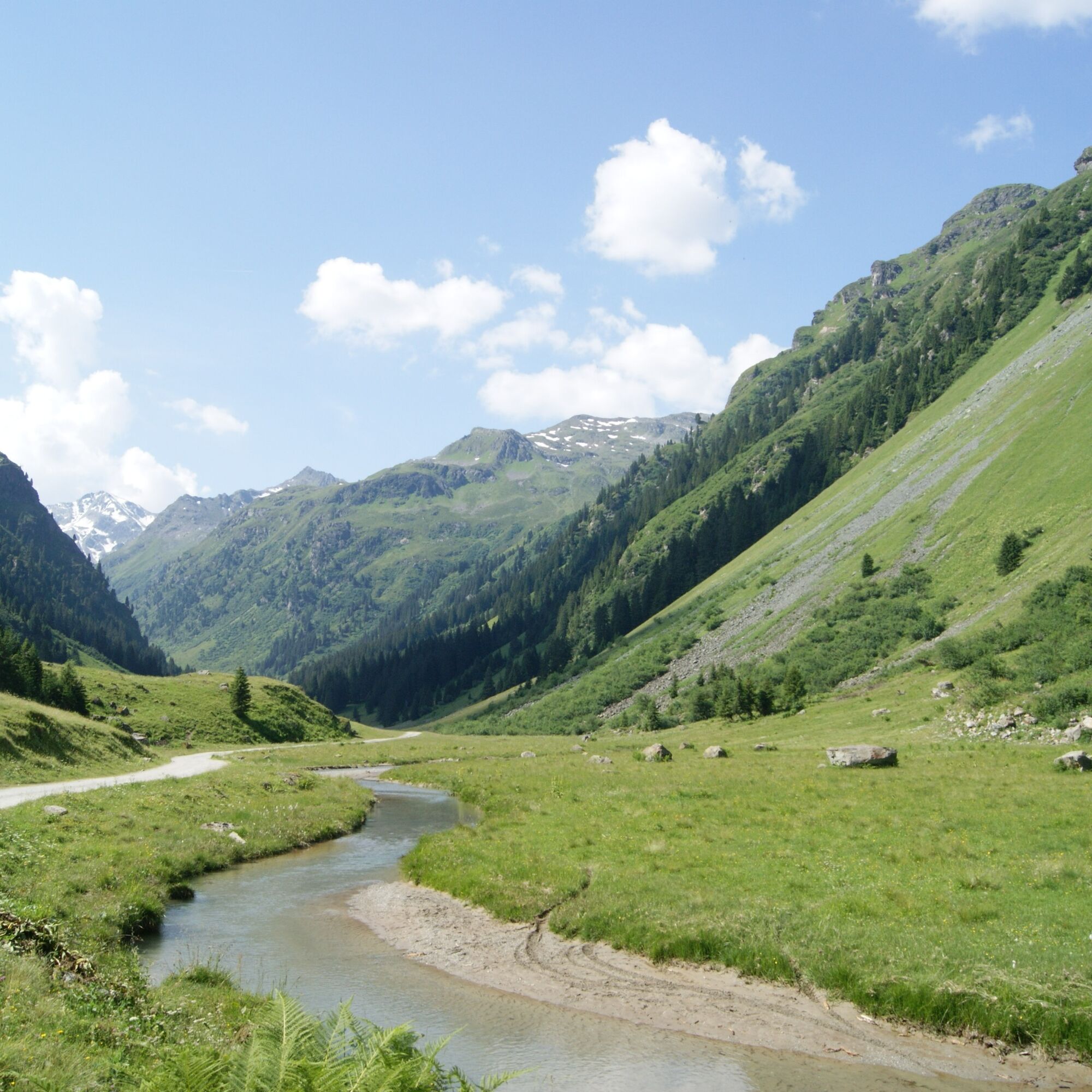
The most beautiful path into the innermost Garneratal leads over the western ridges, from the Versettla Bahn mountain station with great views across the "green Silvretta" to the Tübinger Hut. The peaks...

Tak
Tak
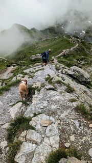
Ankle-high hiking boots with a good tread, rain protection, and hiking poles are recommended
140 Alpine emergencies Austria-wide
144 Alpine emergencies Vorarlberg
112 Euro emergency number (works with any mobile phone/network)
www.vorarlberg.travel/sicherheitstipps
Take the A14 to the Bludenz/Montafon exit and continue on Montafonerstraße L188 to Gaschurn.
Just leave your car standing
Country buses run throughout Montafon. The main lines depart every half hour from Schruns station.
Bus stop at the start/finish of the route: Gaschurn Versettla Bahn / Line 650
Timetable: www.vmobil.at
Arrival by train to Montafon
From Bludenz station, the Montafonerbahn runs hourly (partly every half hour). There are also direct connections from Lindau (D) and Bregenz.
Timetable: www.oebb.at
Parking is available at the Versettla Bahn.
Popularne wycieczki w okolicy
-
4,7
Smuggler’s path
średniTrasa tematyczna 8,60 km -
4,8
Hiking trail Piz Buin - view
średniWędrówka 14,4 km -
4,8
Heilbronner lodge
średniWędrówka 13,0 km -
4,4
Madrisella summit path
średniTrasa tematyczna 10,8 km -
5,0
Menta Alm - Scheibenalm
światłoWędrówka 11,4 km -
2,8
Bielerhöhe and circular hike around the Silvretta reservoir
średniWędrówka 13,1 km -
4,7
Jamtal lodge
średniWędrówka 19,6 km -
5,0
Wiegensee-Kopssee
średniWędrówka 8,17 km -
4,5
Zamangspitze summit path
średniTrasa tematyczna 7,07 km -
4,4
Vom Kopssee zur Breitspitze Gemeinde Gaschurn, Vorarlberg/Österreich
średniWędrówka 12,5 km

Wędrówki i tropienie


Nie przegap ofert i inspiracji na następne wakacje
Twój adres e-mail została dodana do listy mailingowej.