







Wiegensee-Kopssee
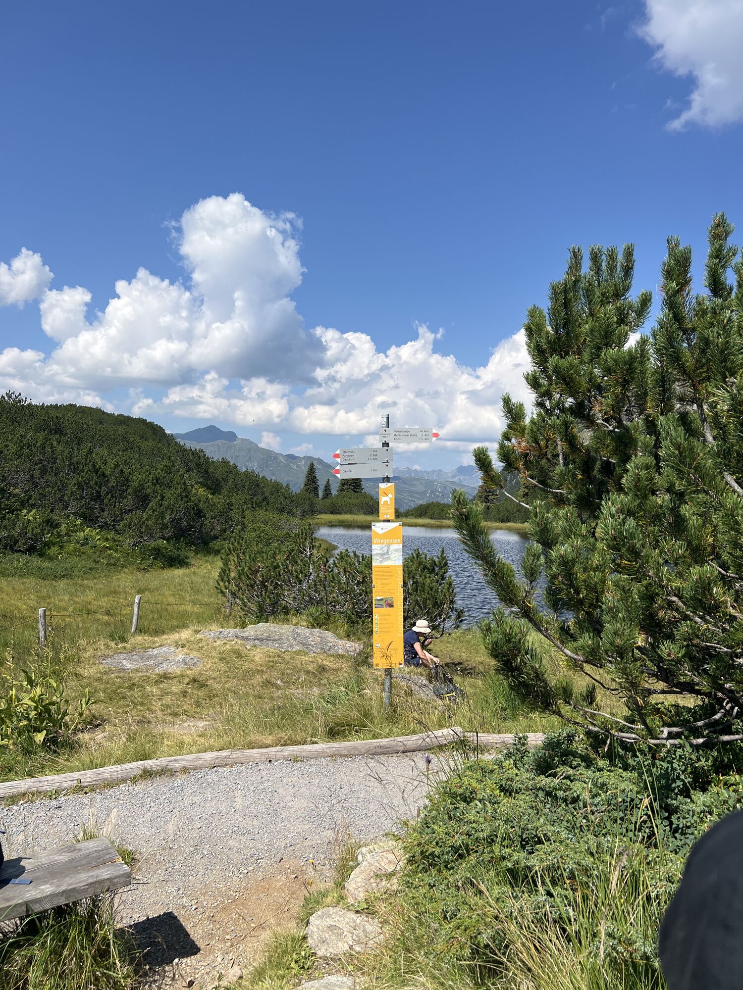
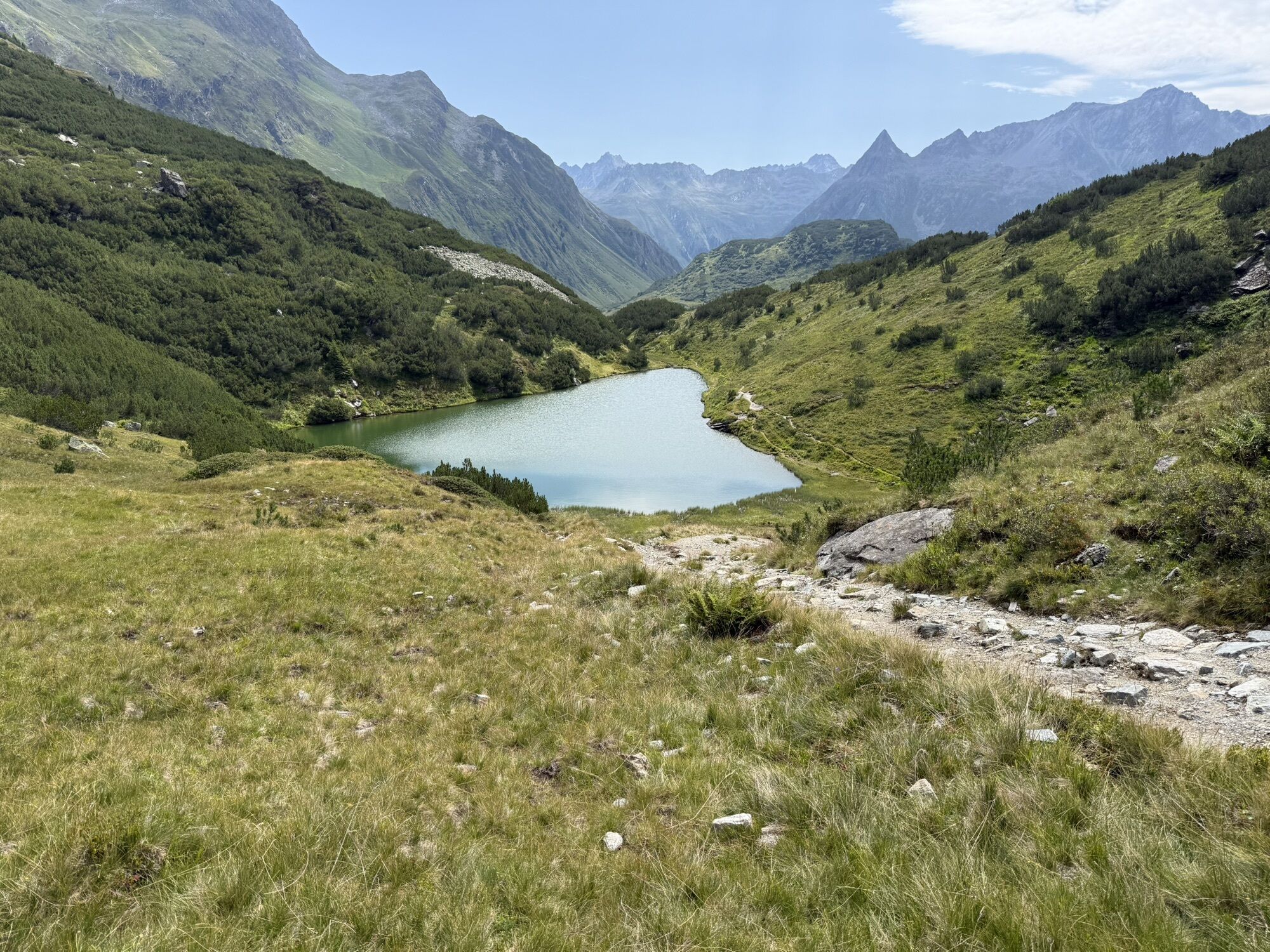
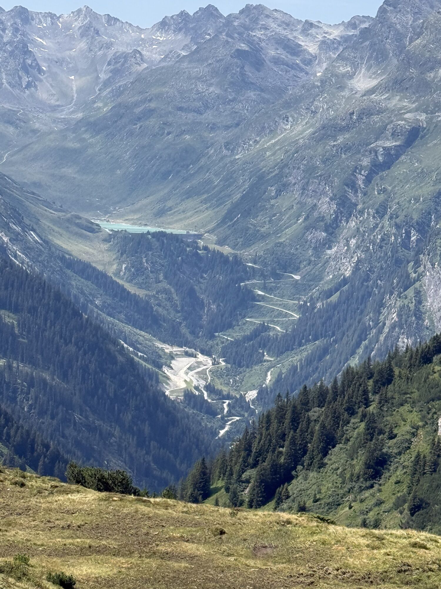
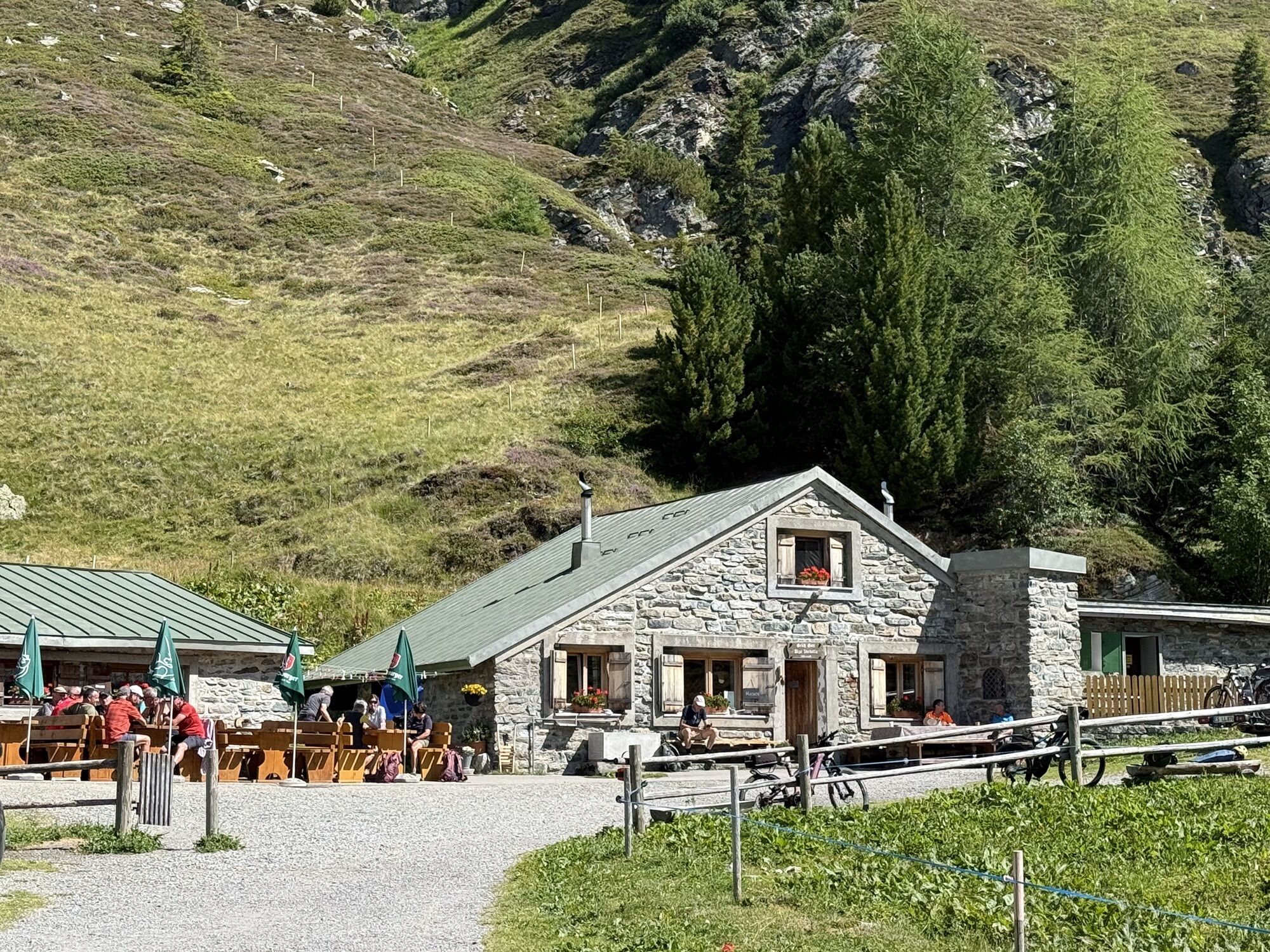
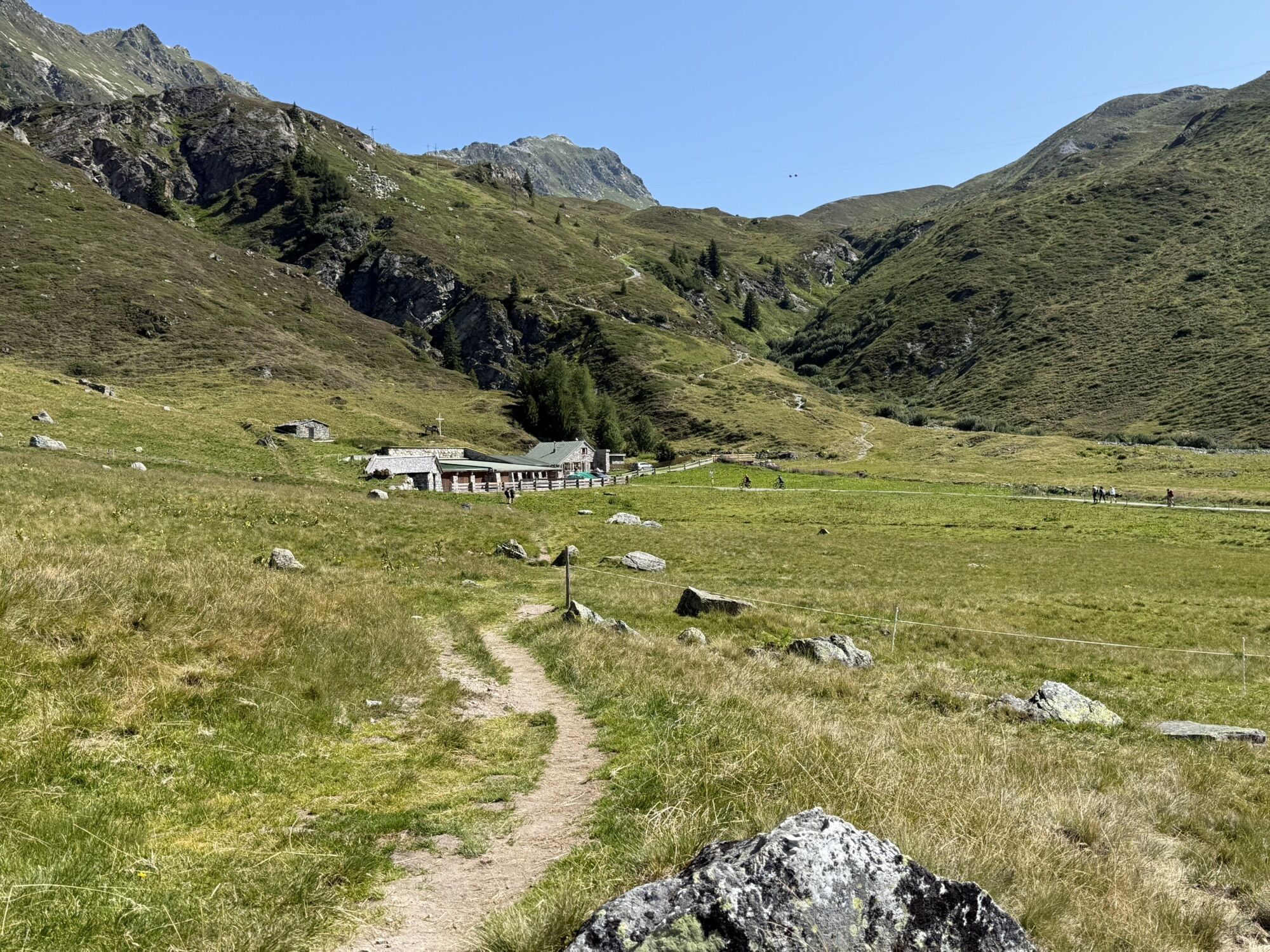
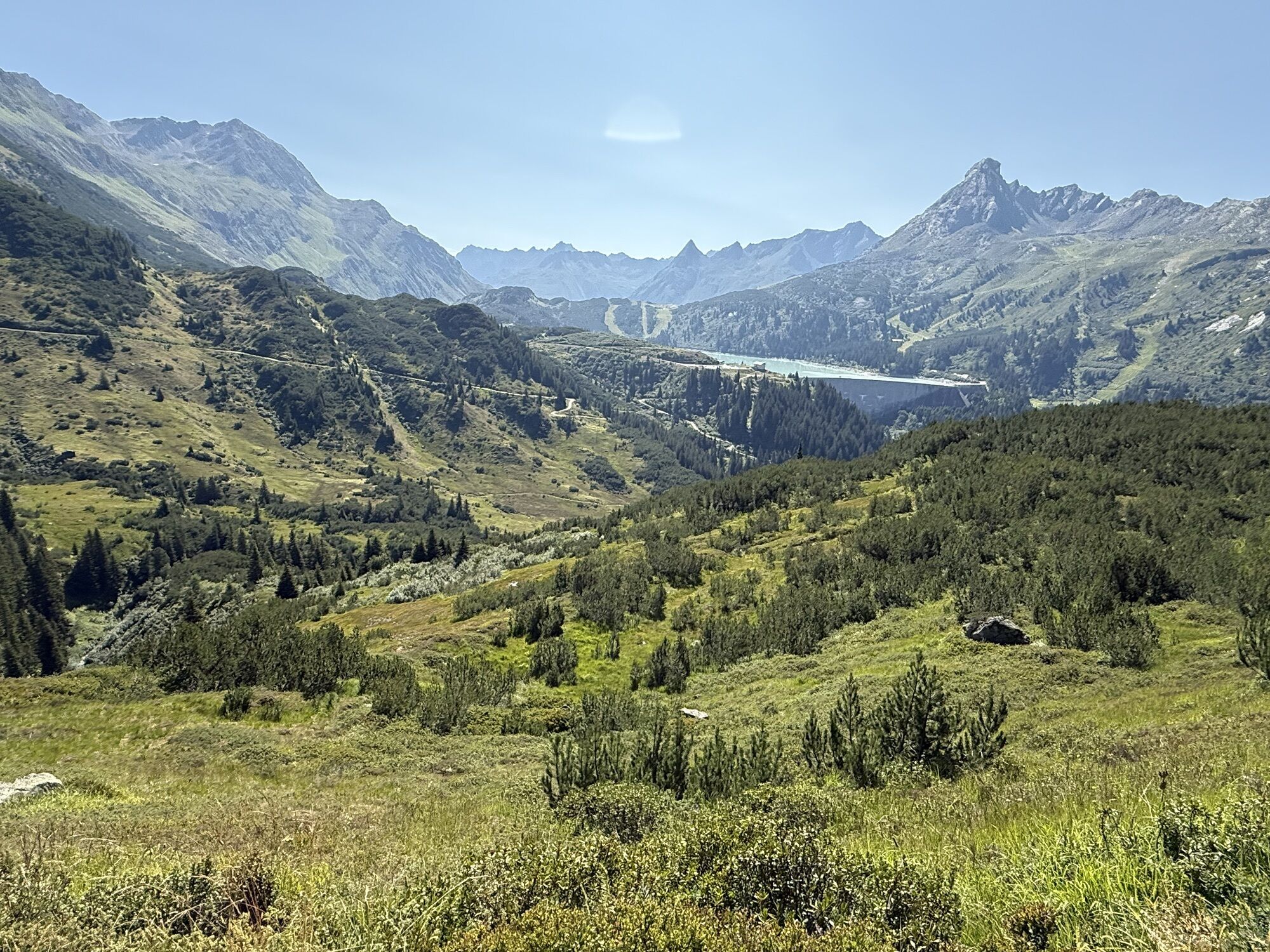
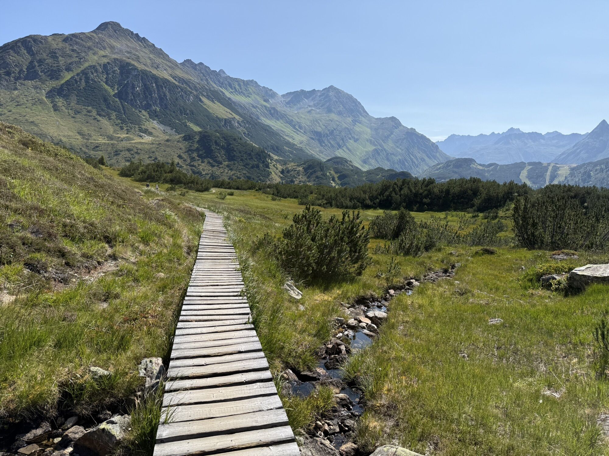
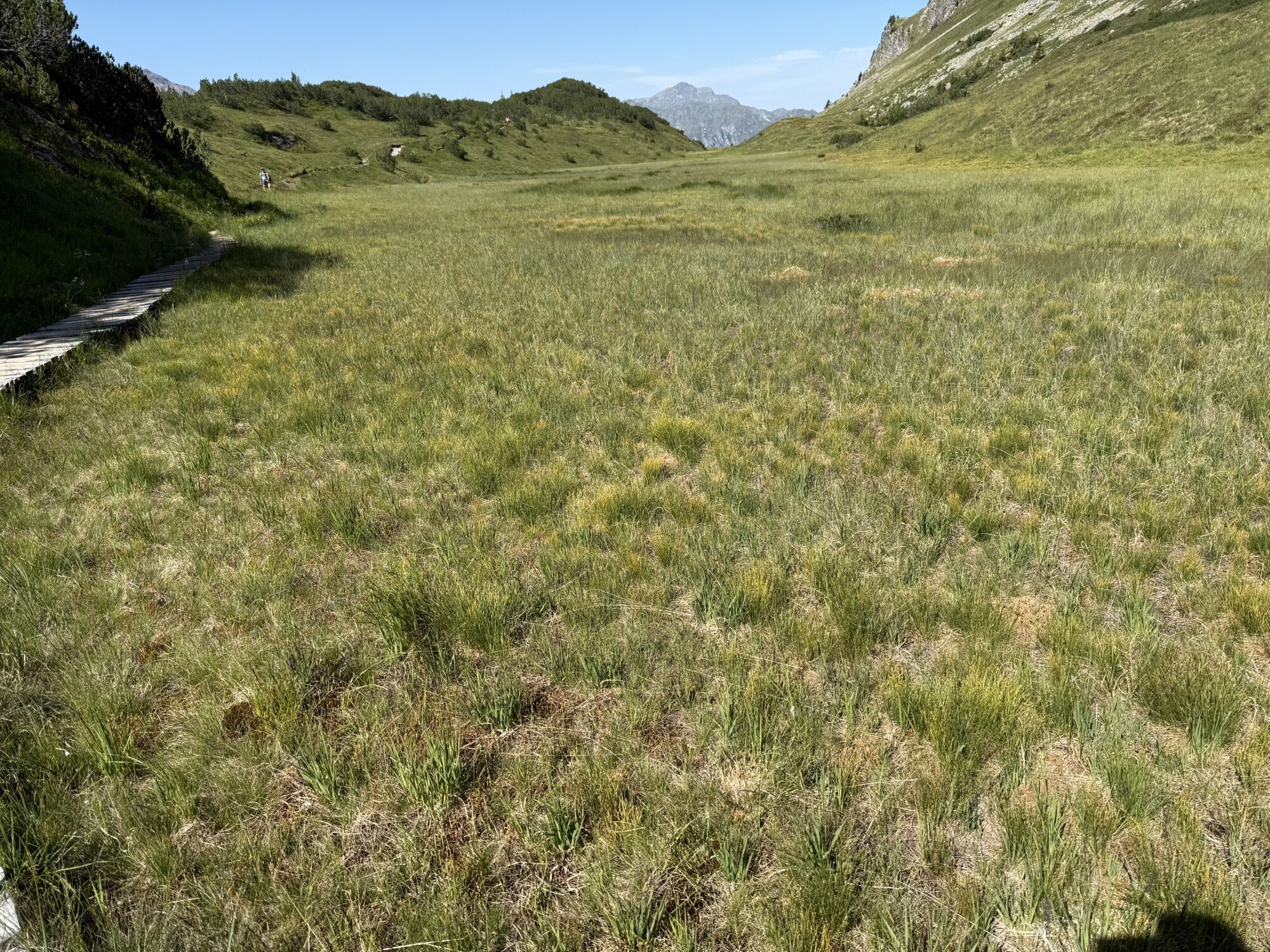
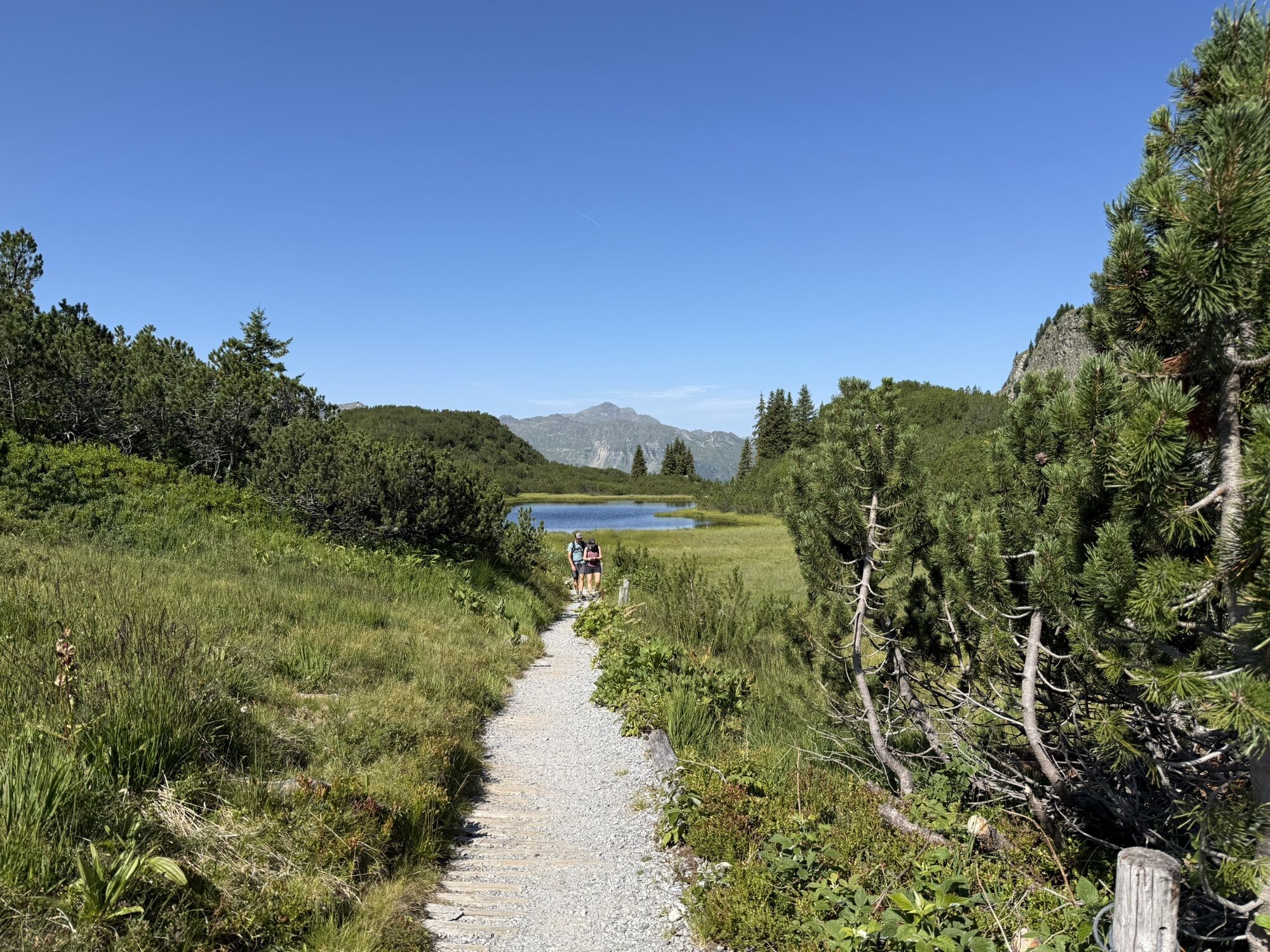
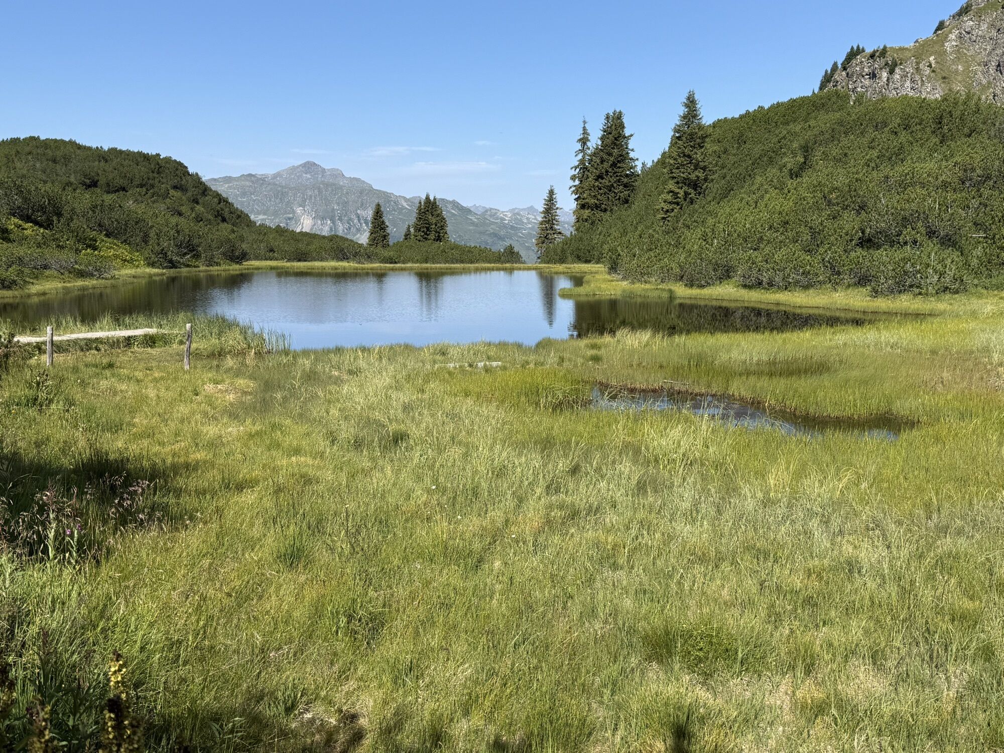
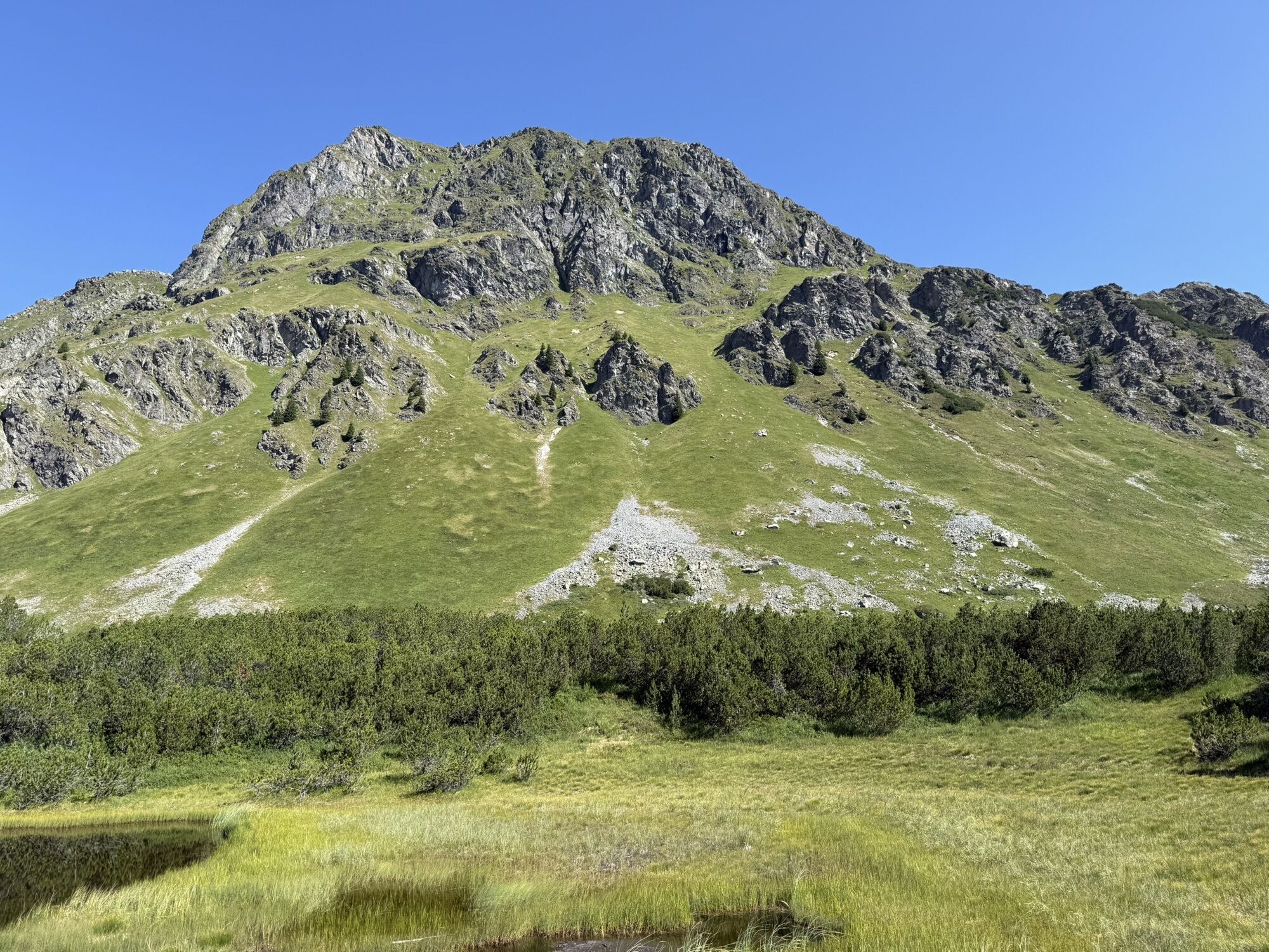
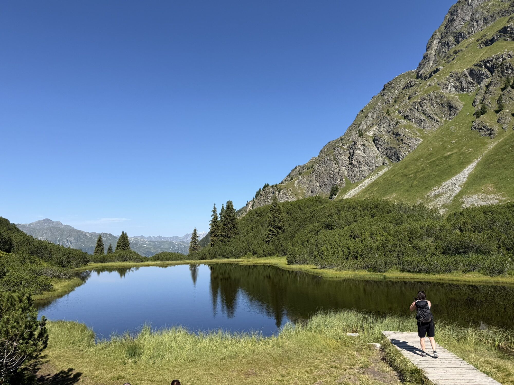
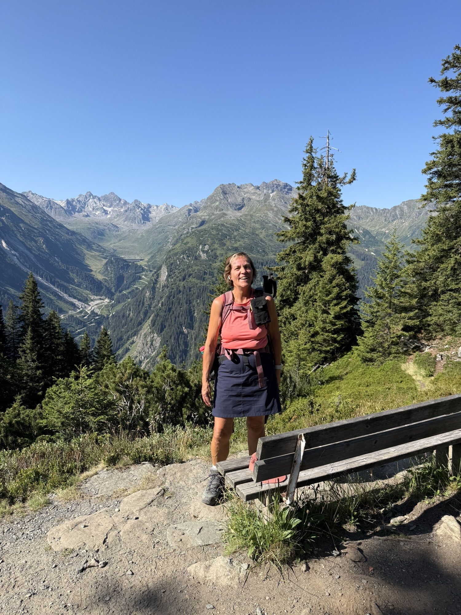
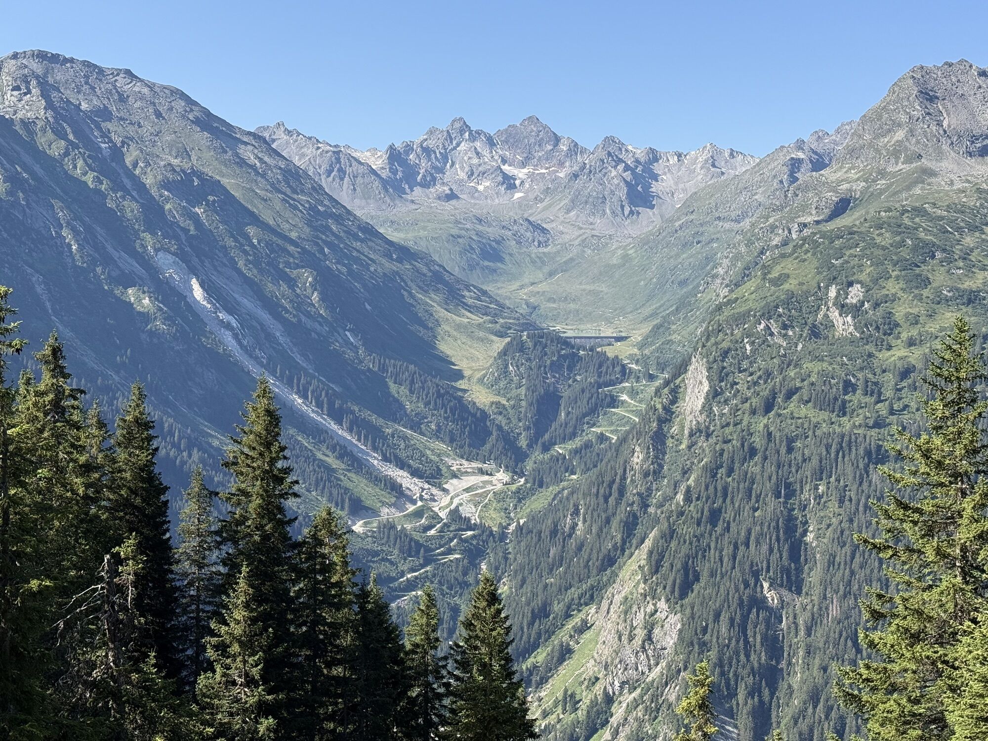
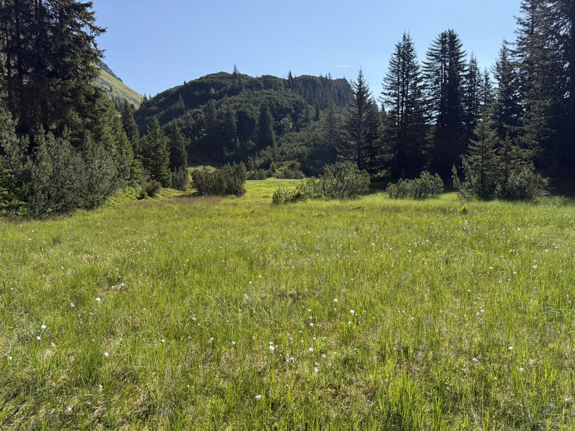
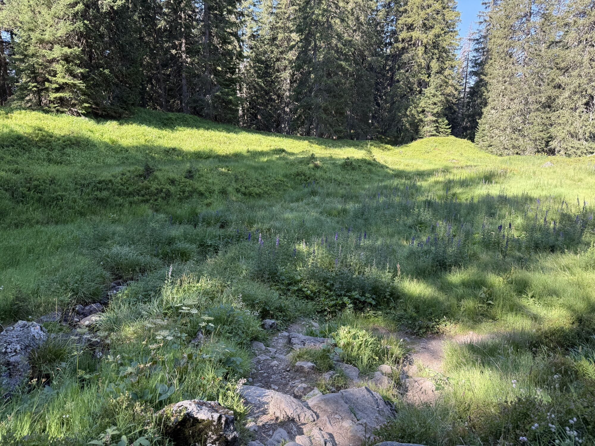
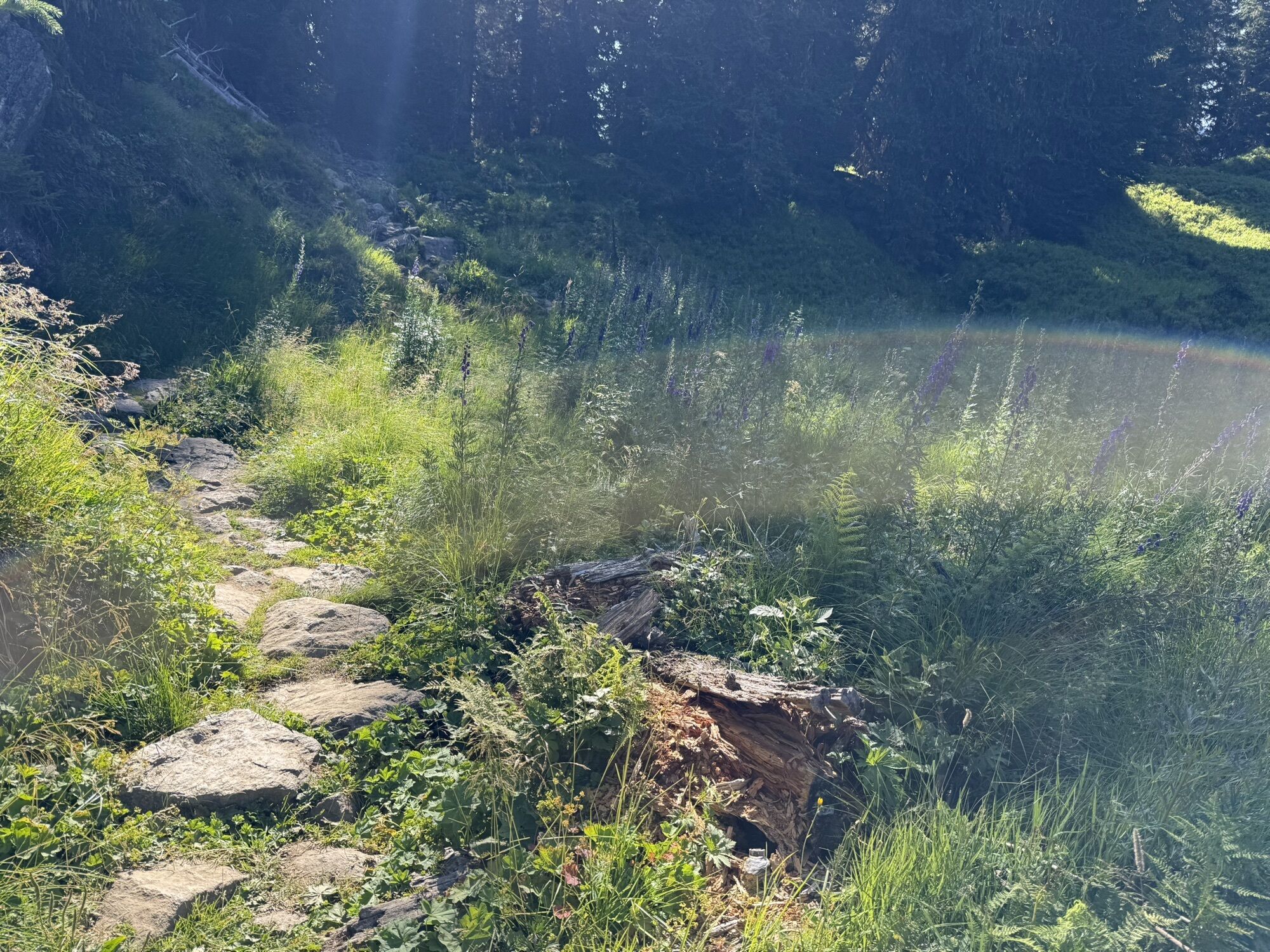
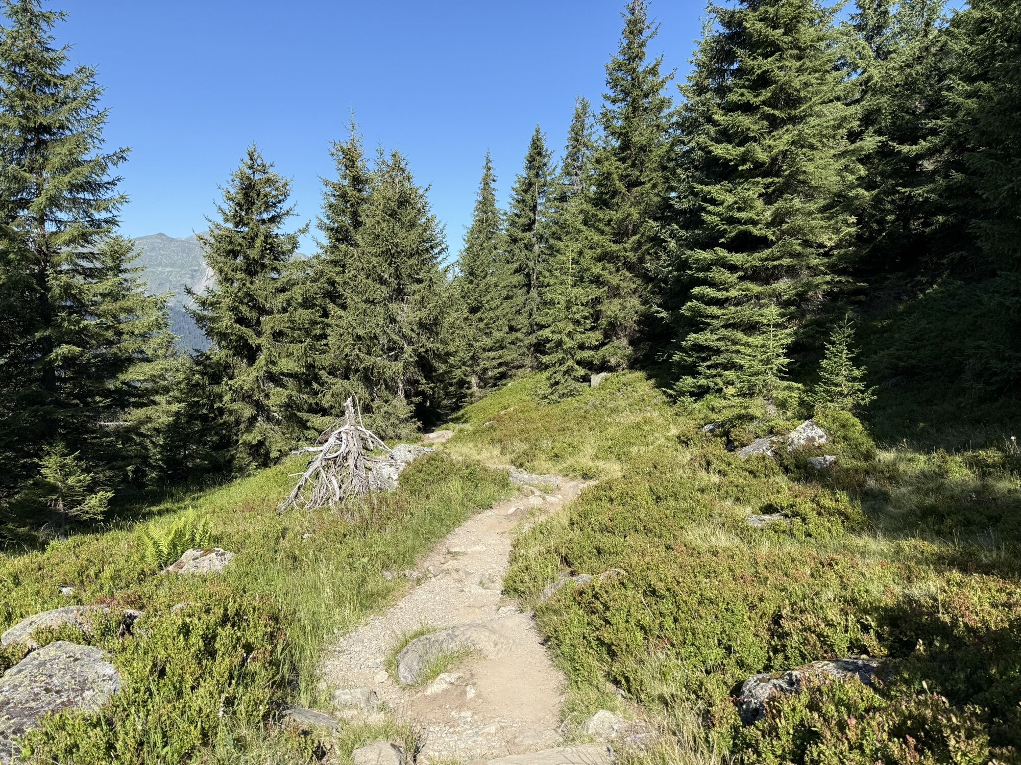
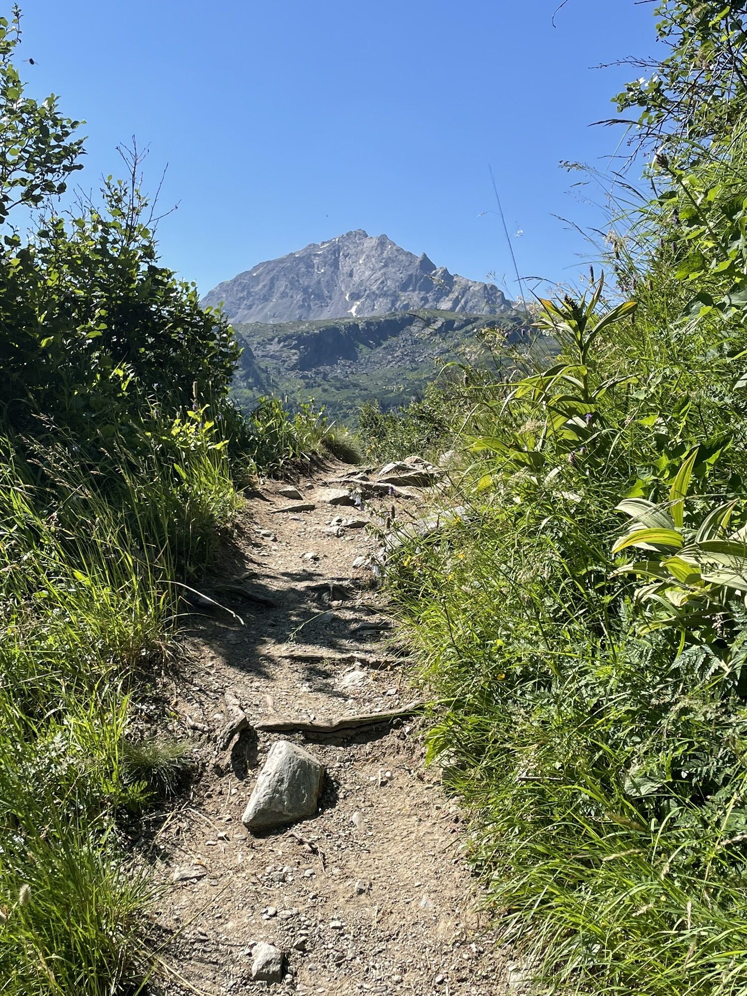
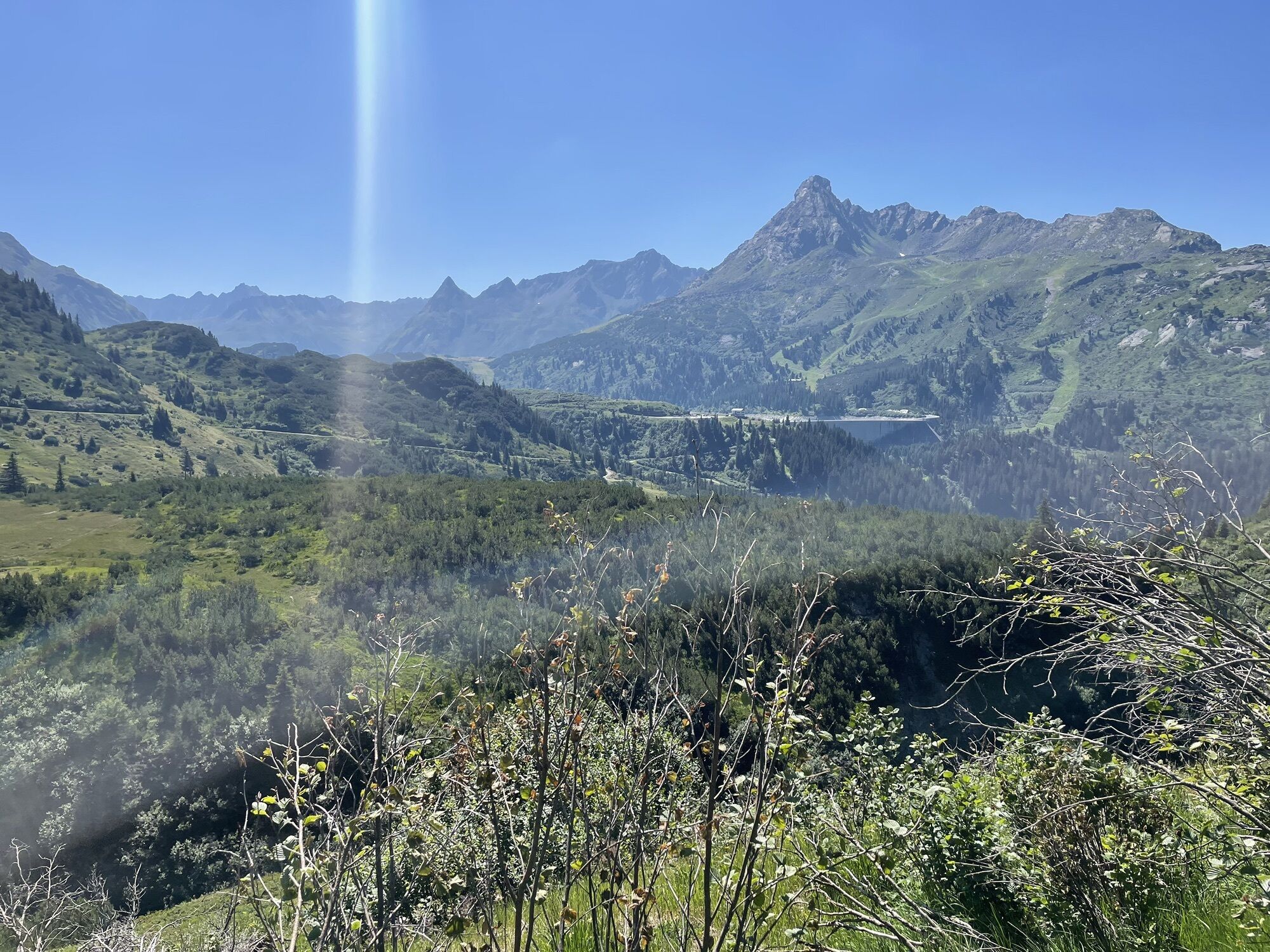
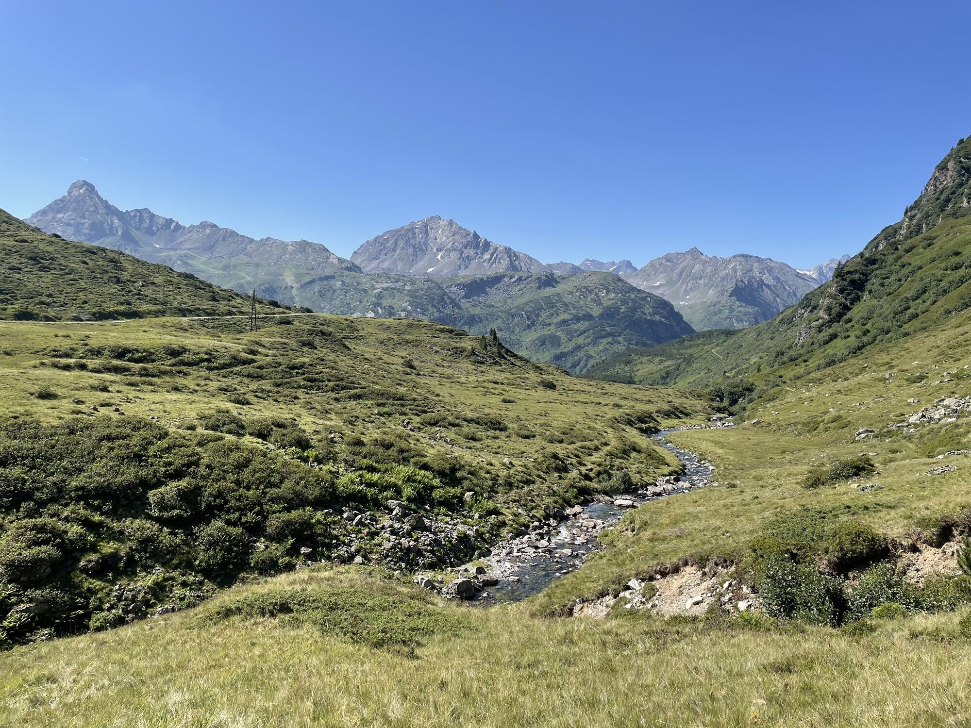
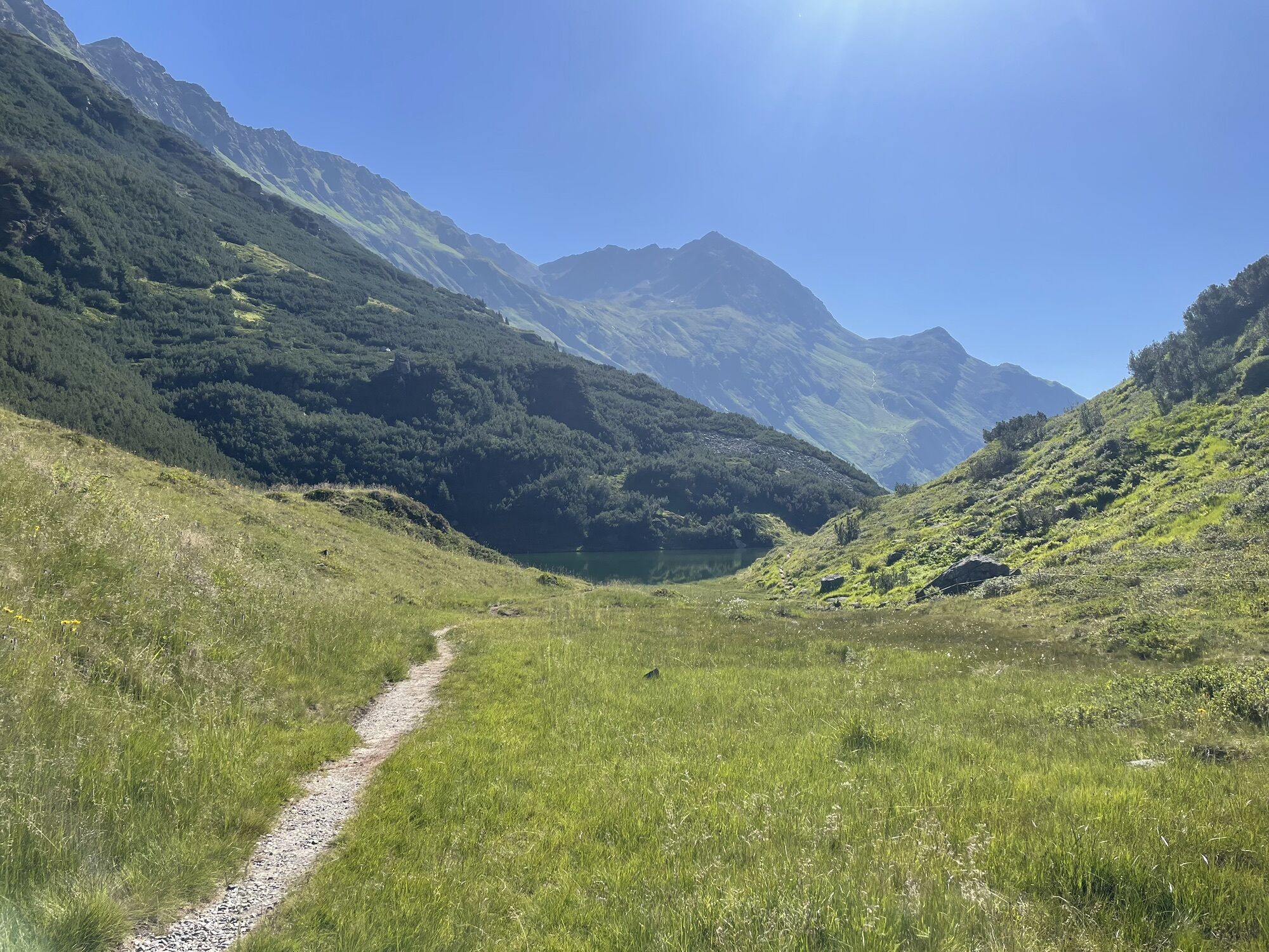




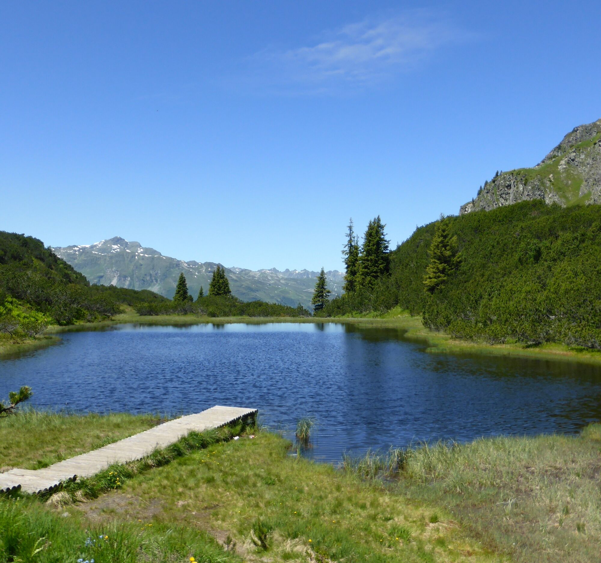
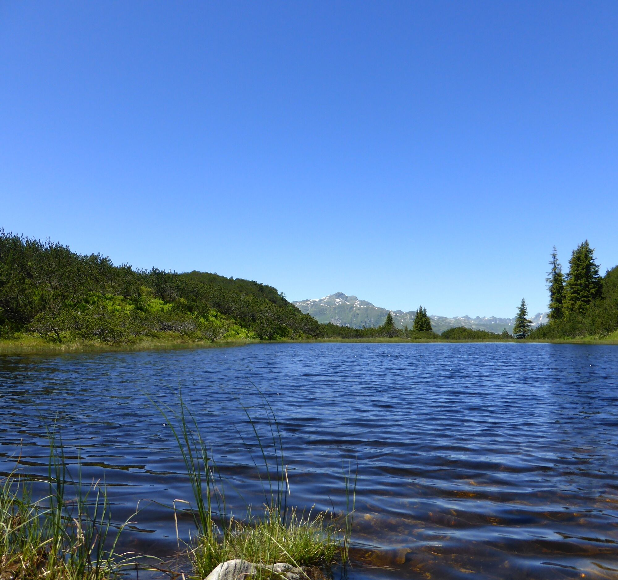
A beautiful hike in the middle of the Verwall nature reserve. You won’t just pass the designated Natura 2000 protected area, the Wiegensee, but can also refresh yourself at Verbellaalpe and further along...
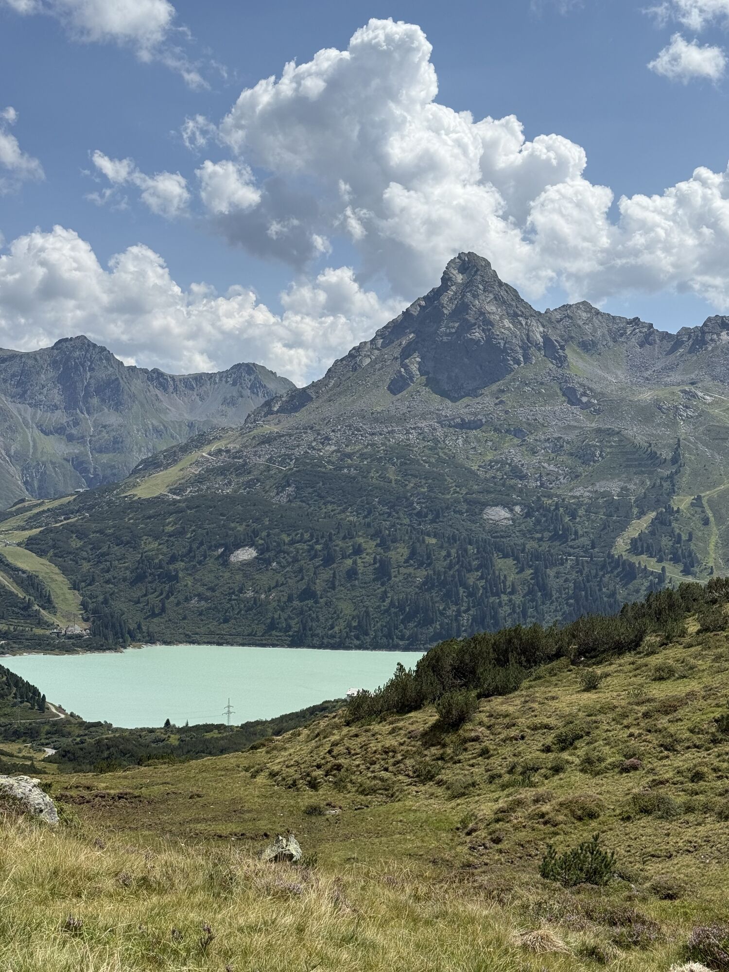
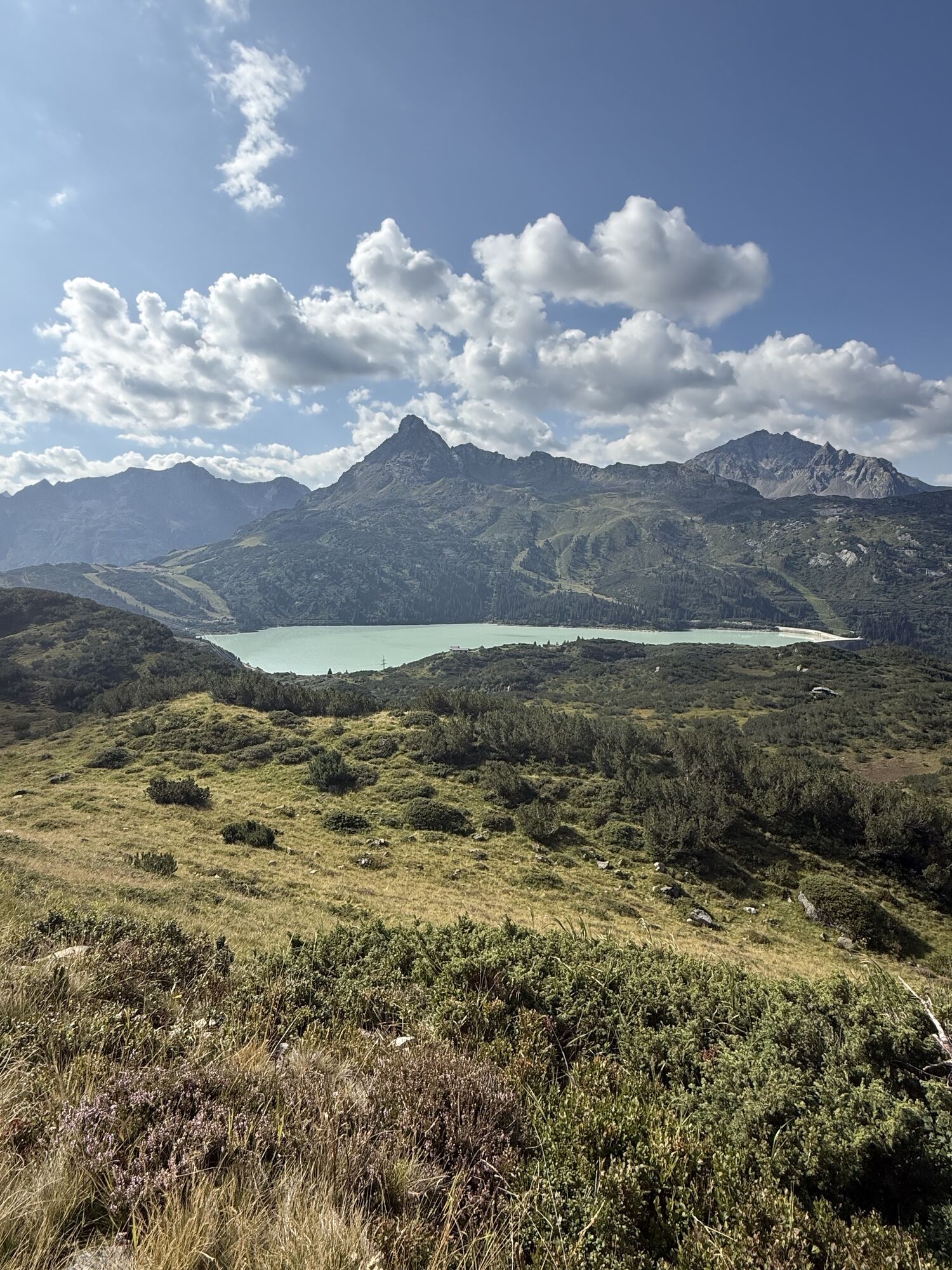
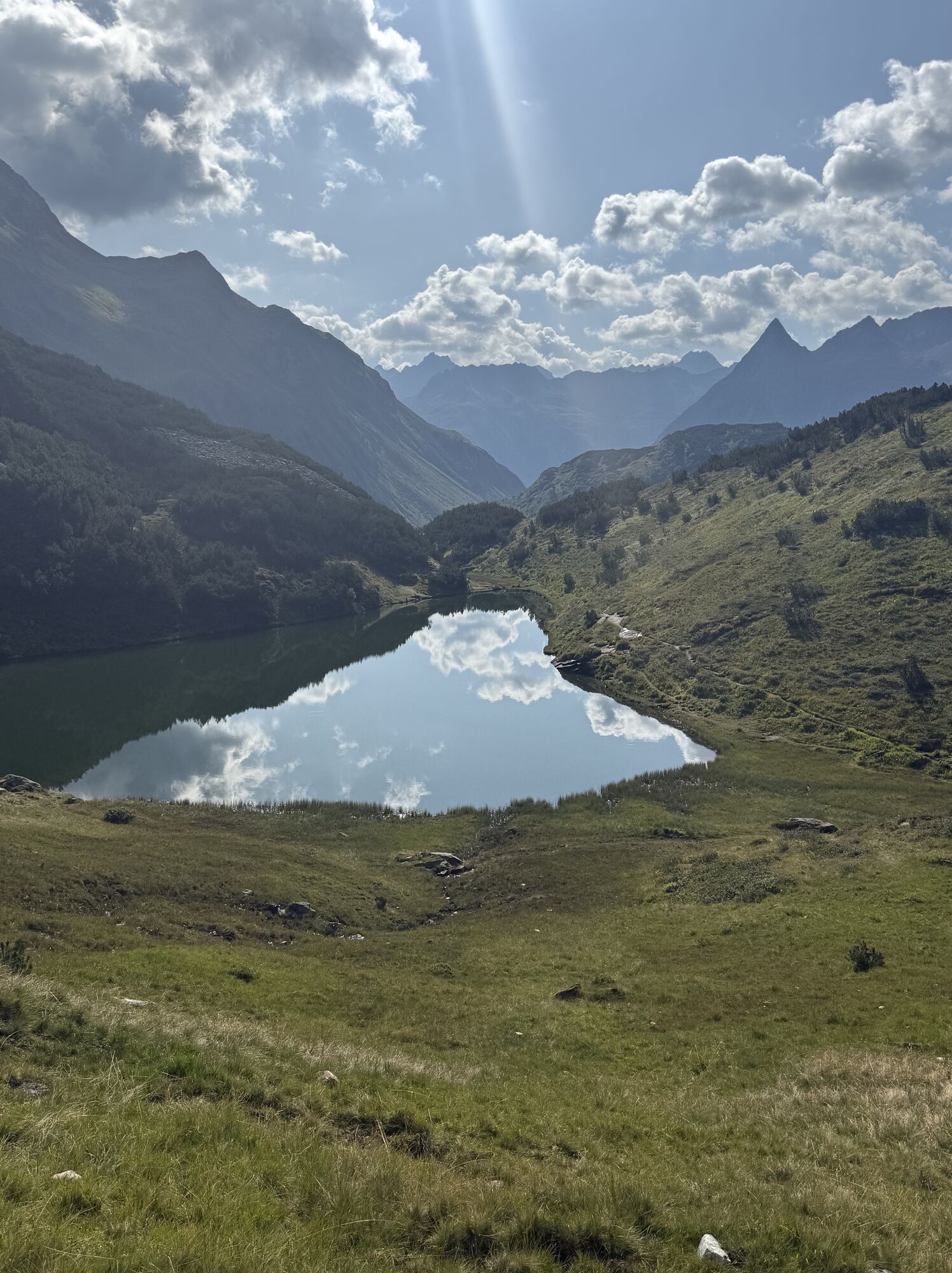
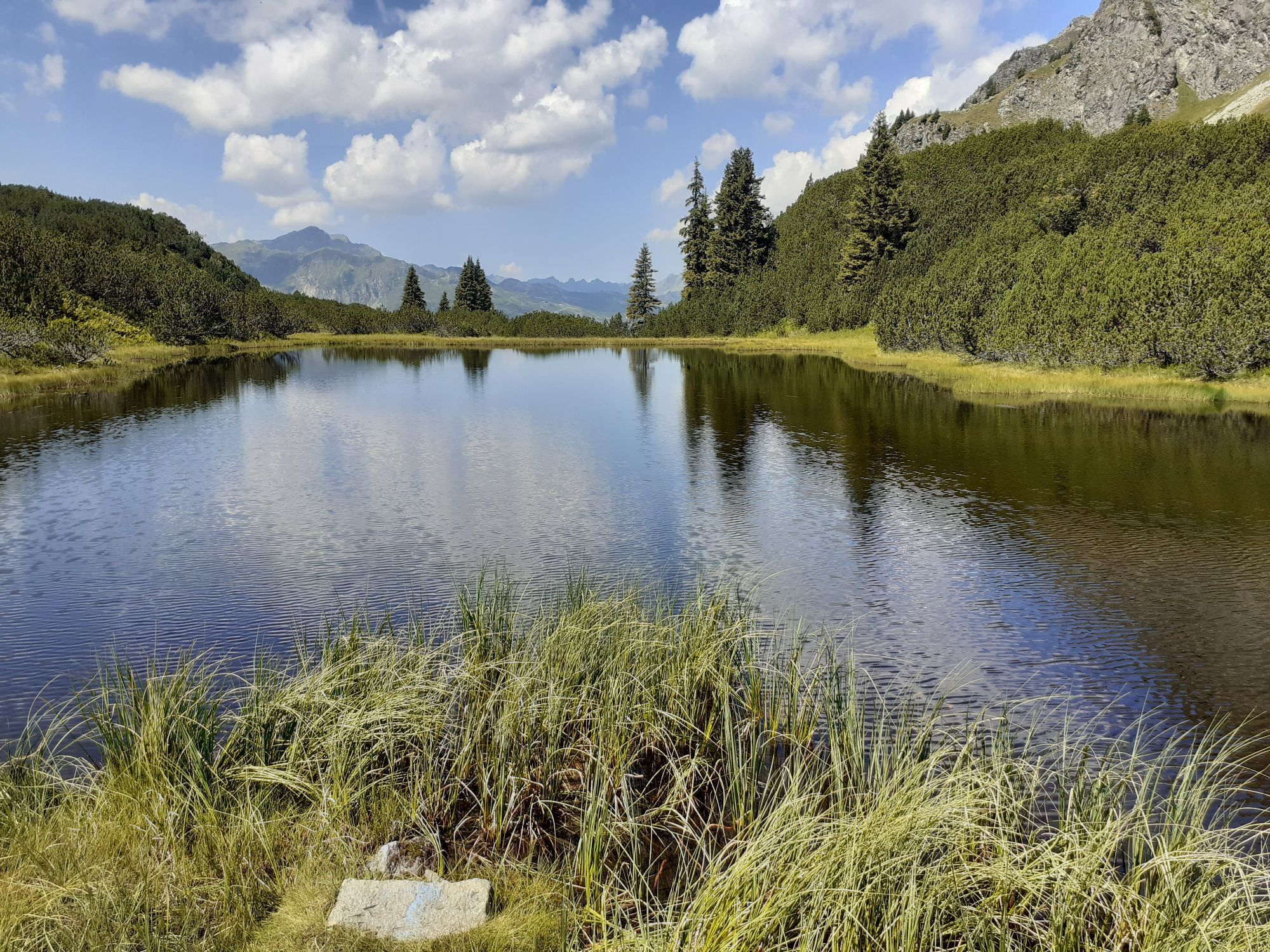
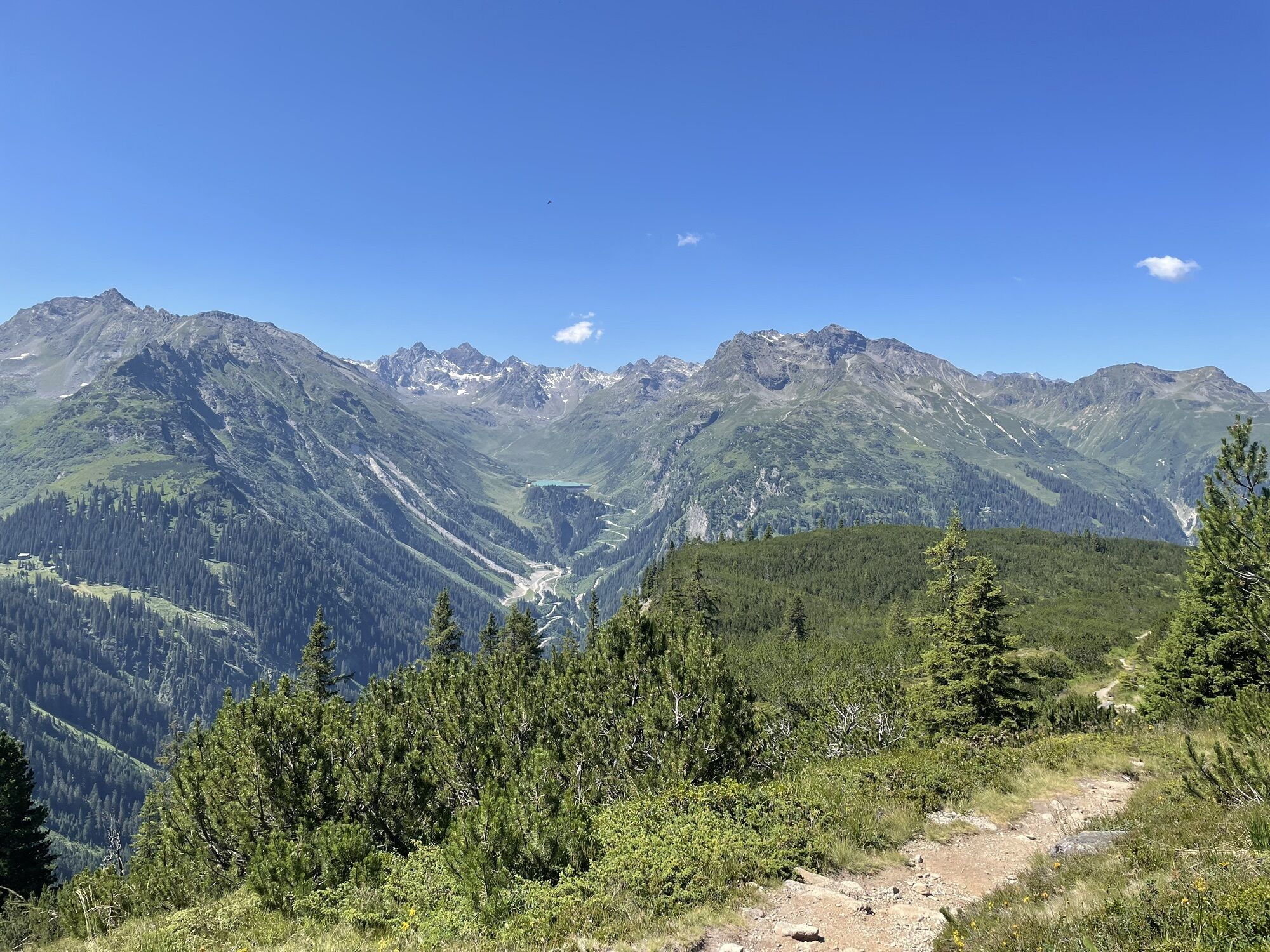
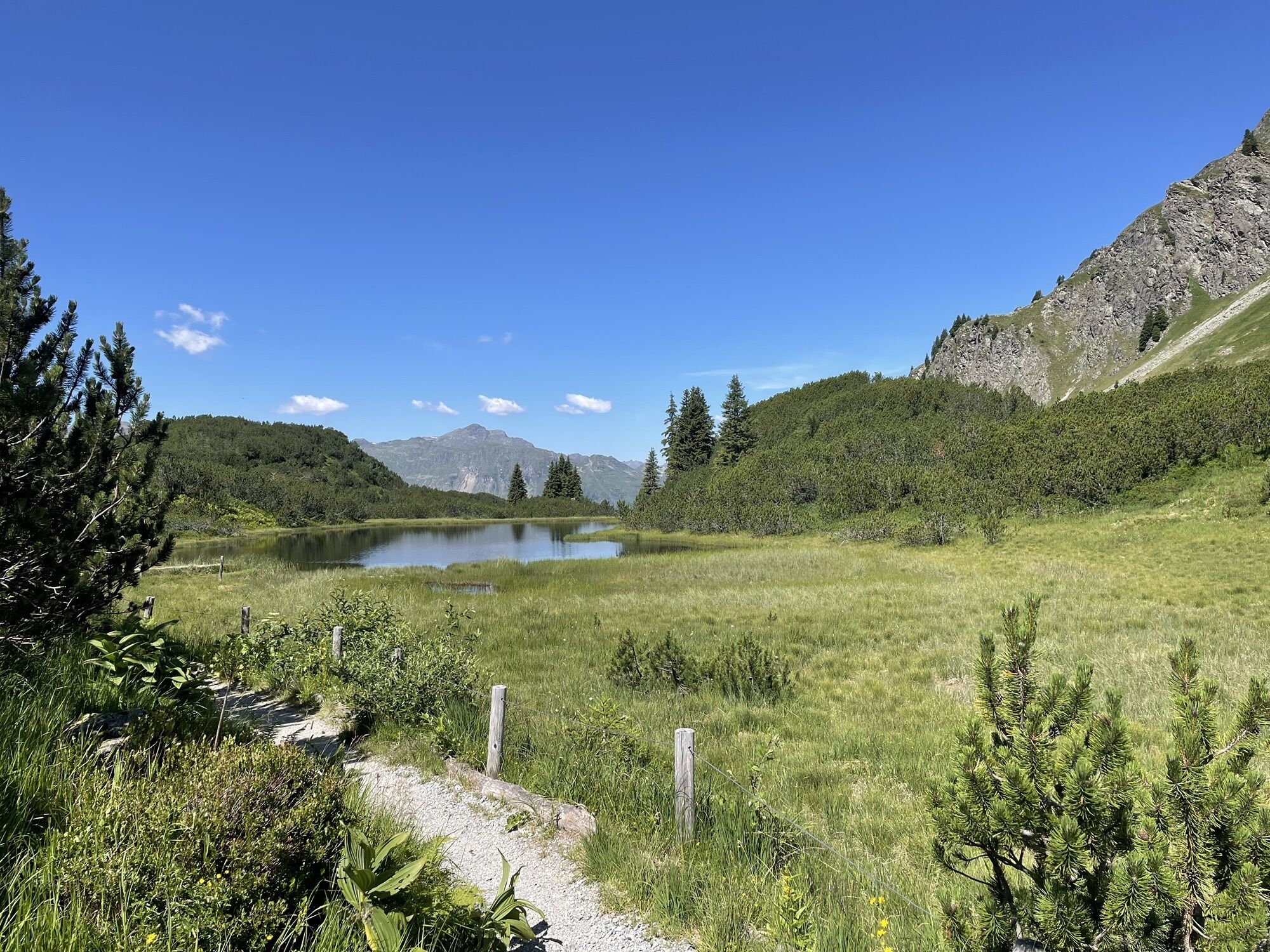
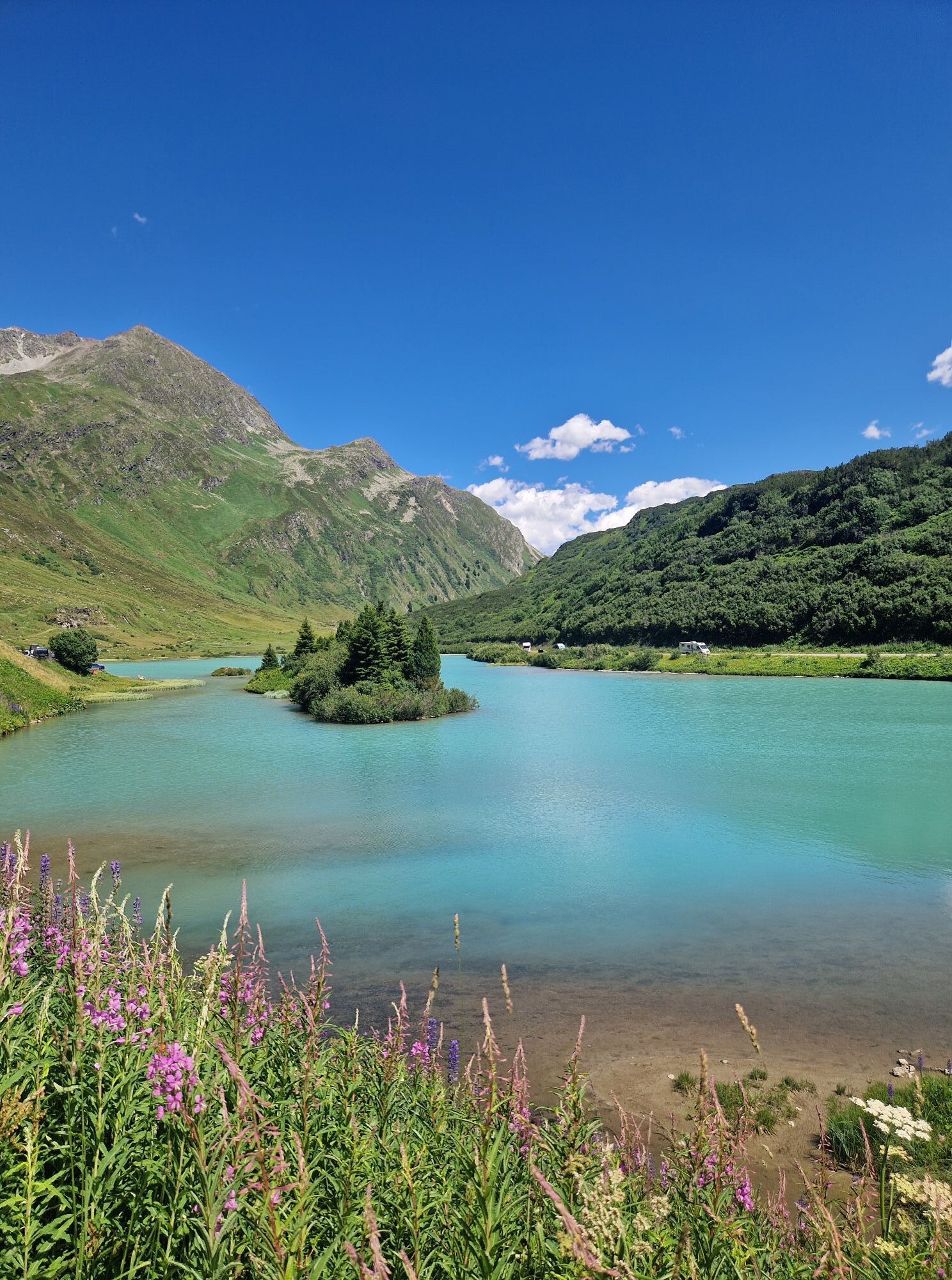
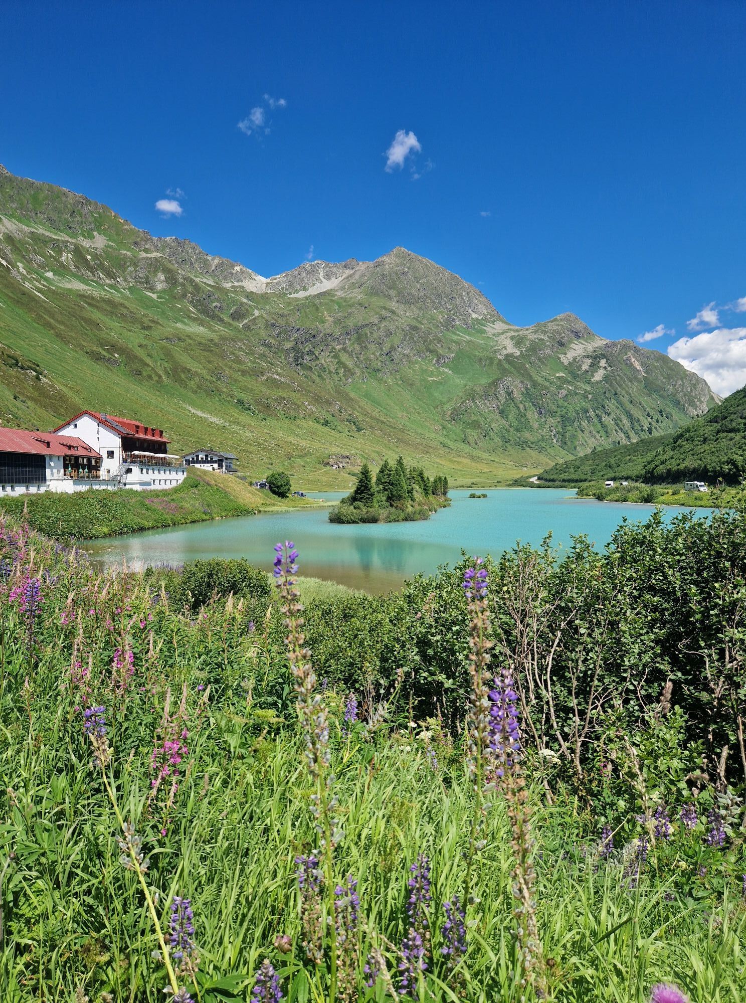
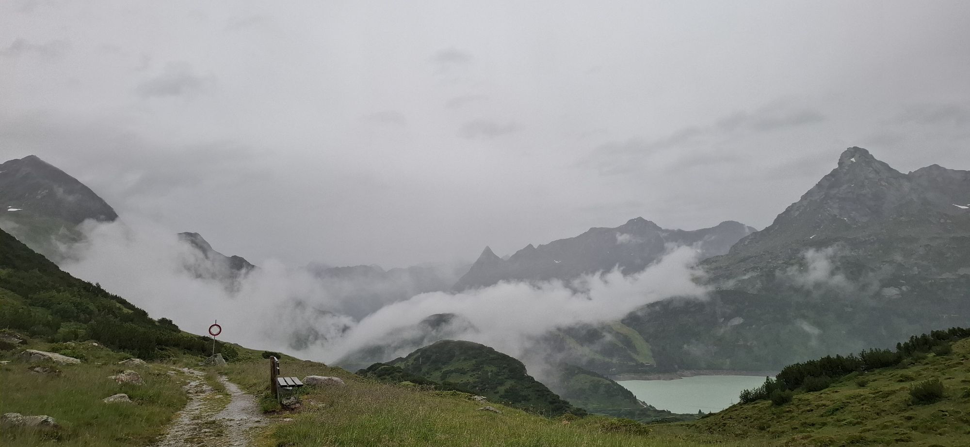
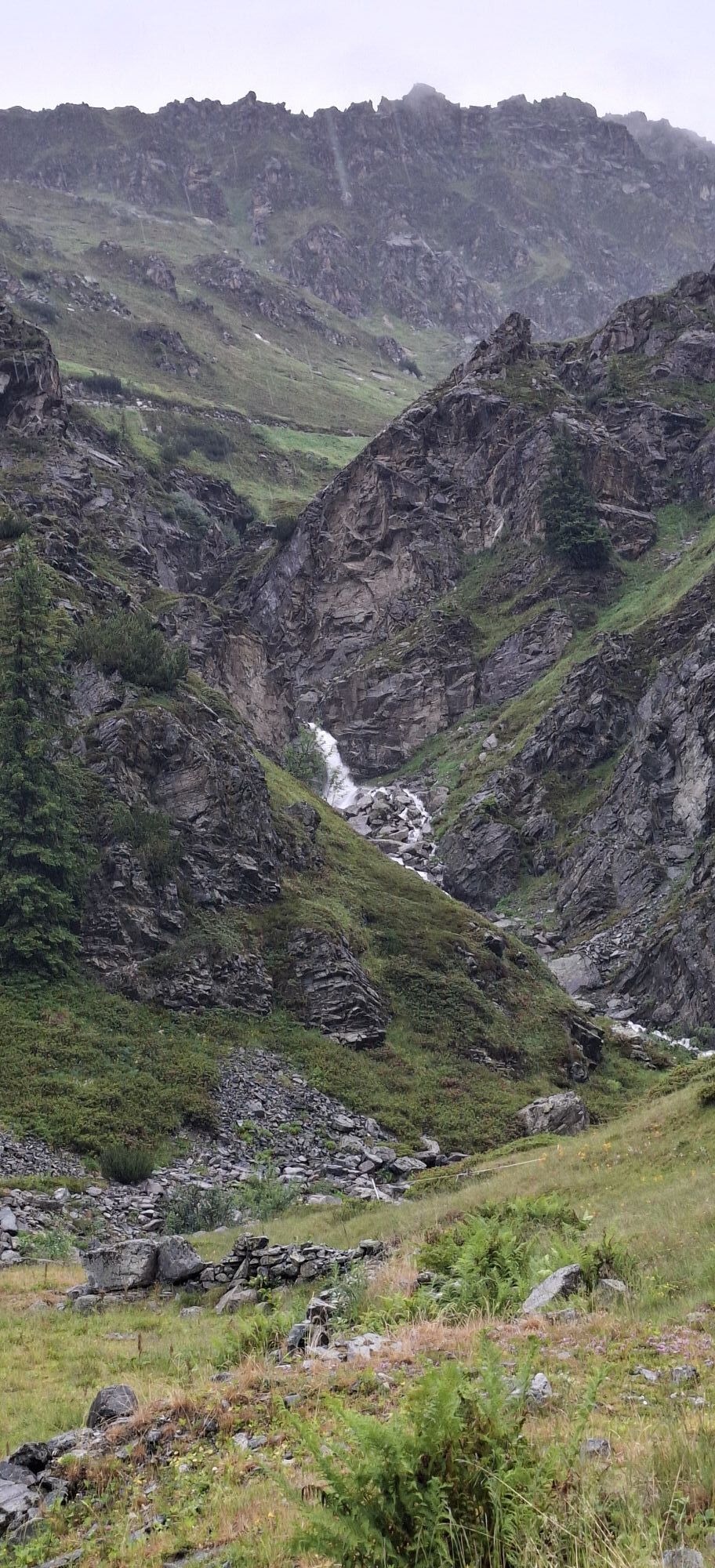
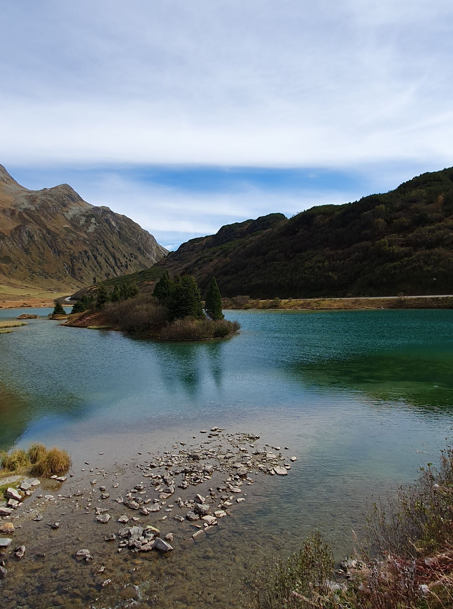
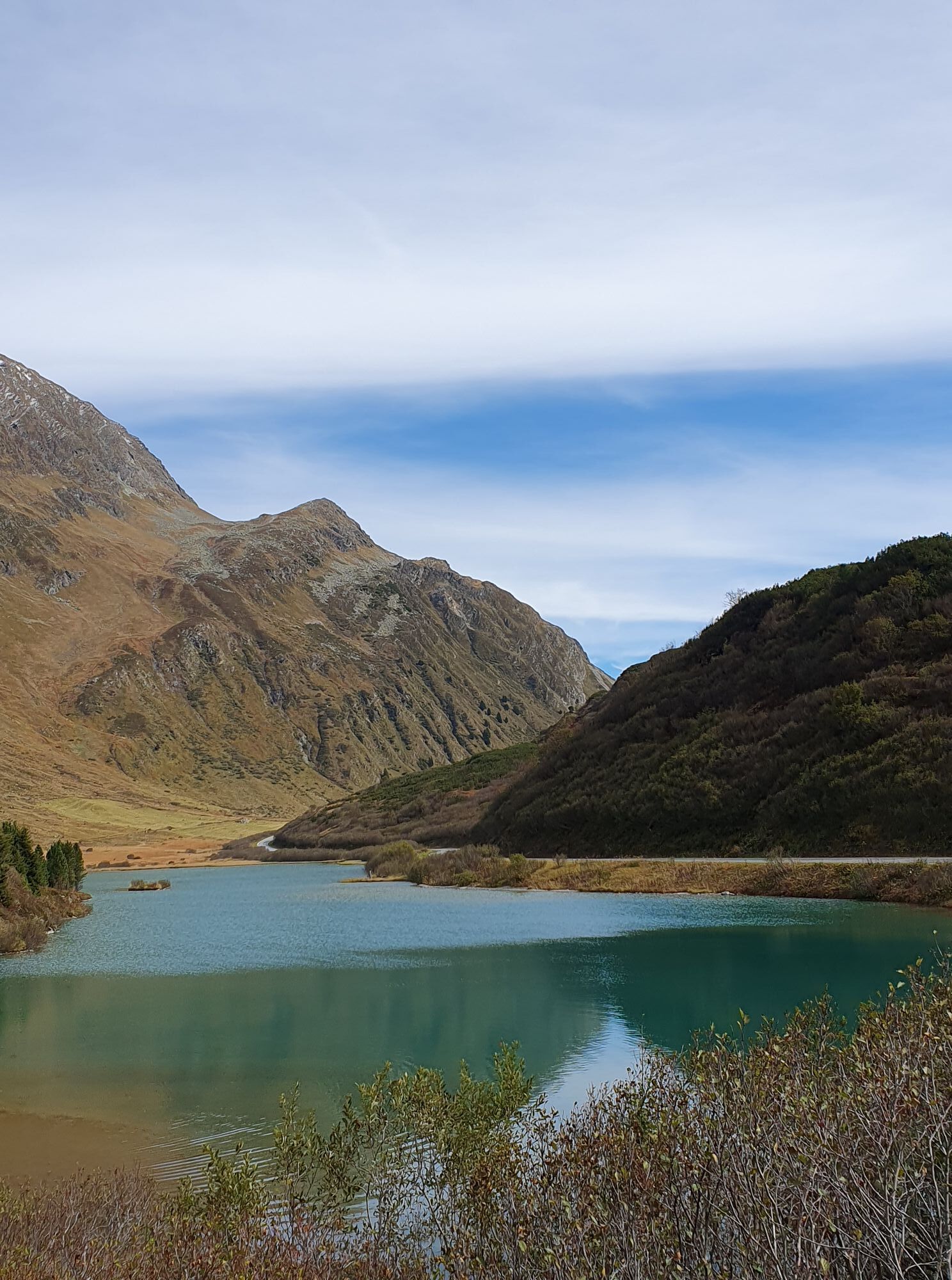
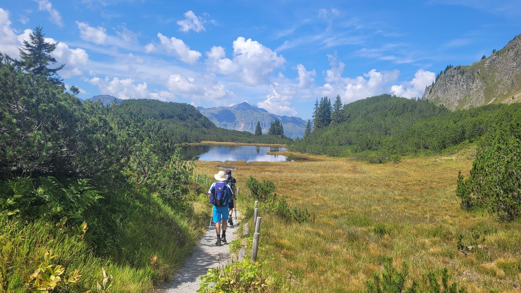
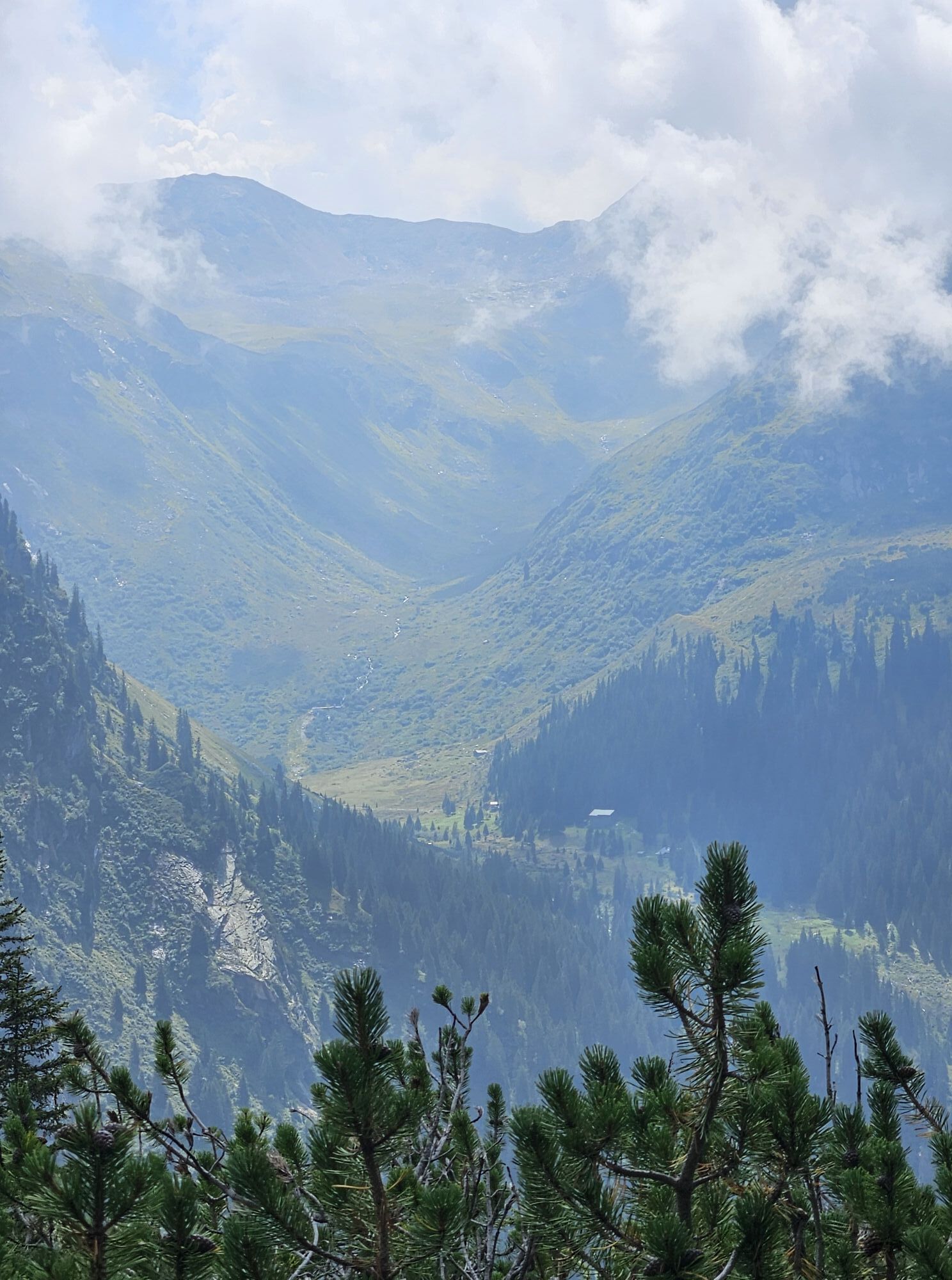
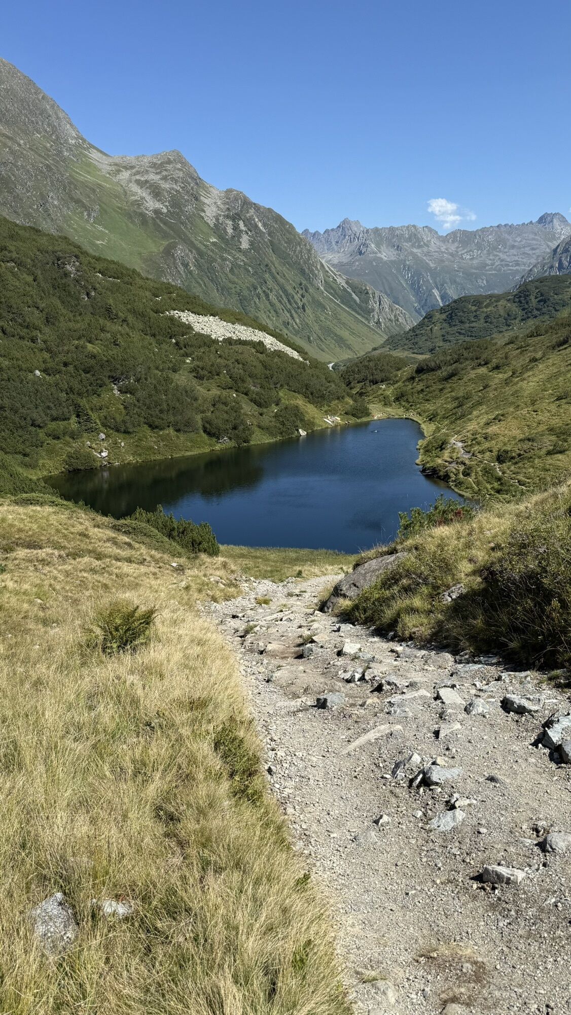
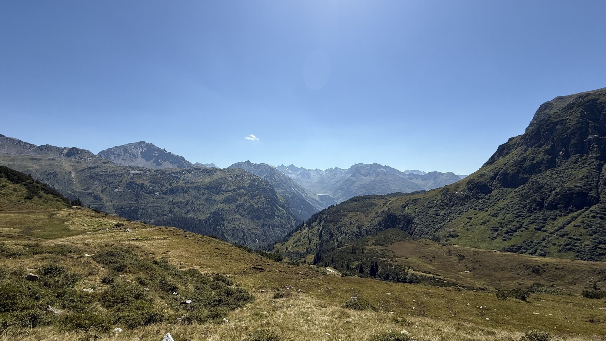
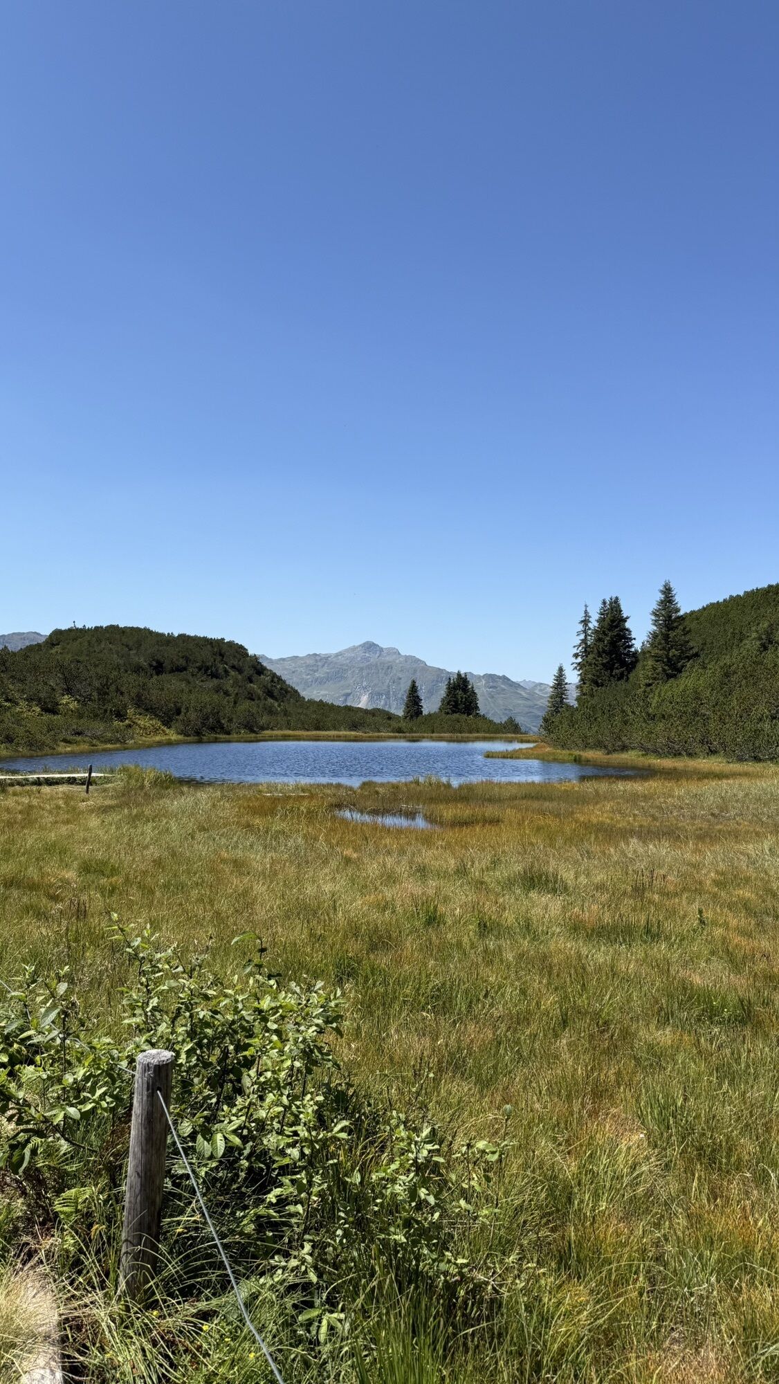
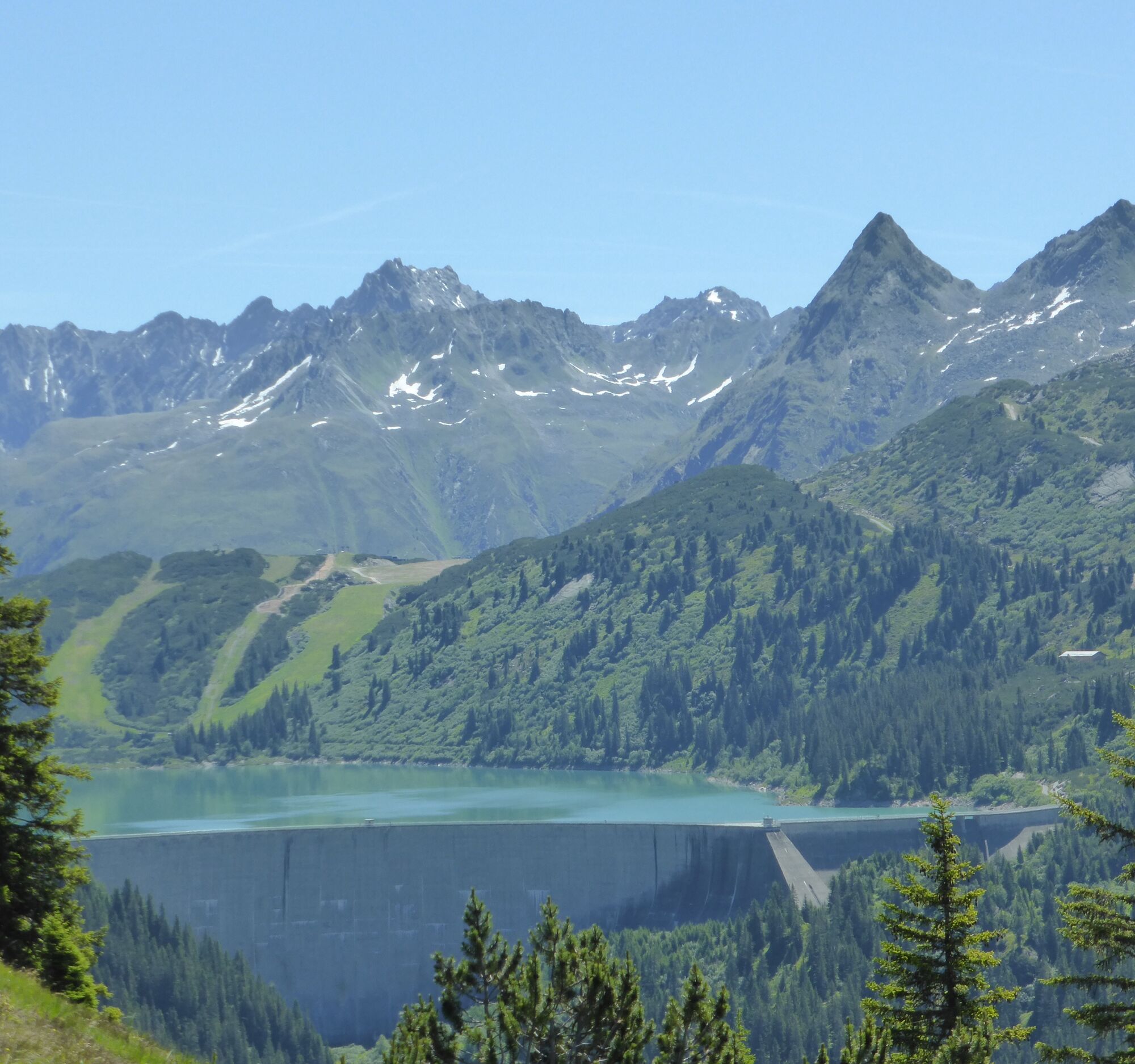
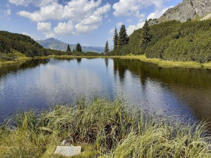
A beautiful hike in the middle of the Verwall nature reserve. You won’t just pass the designated Natura 2000 protected area, the Wiegensee, but can also refresh yourself at Verbellaalpe and further along observe the cattle during "sömern" (summer grazing). The cattle are basically on a summer cure up here. Incidentally, you can enjoy the wonderful panorama. From a distance, you can even admire the glaciers of the Silvretta.



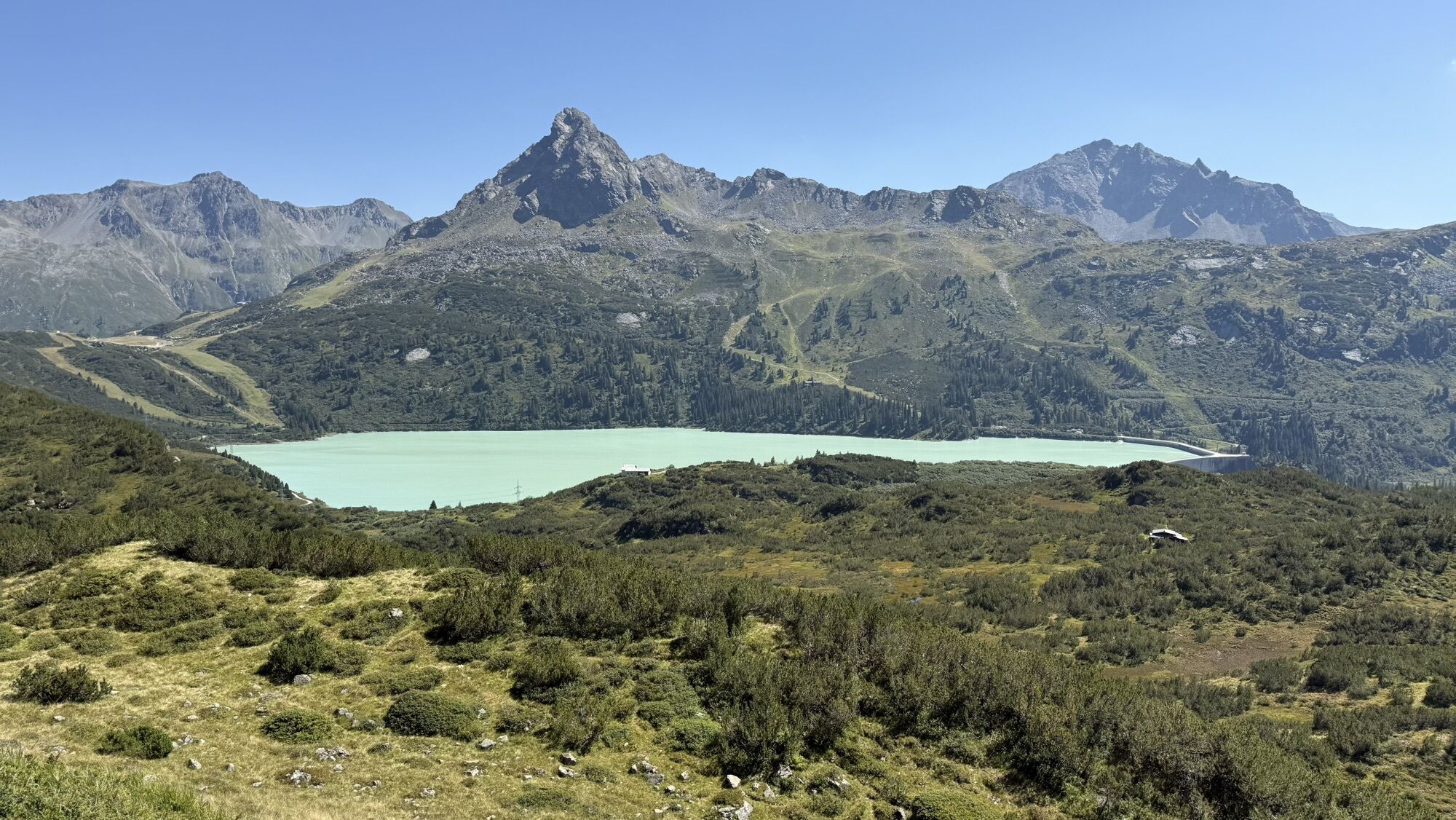
Tafamunt mountain station (1550 m) - Wiegensee (1940 m) - Verbellaalpe - Zeinisjochhaus - Kops (reservoir, 1822 m)
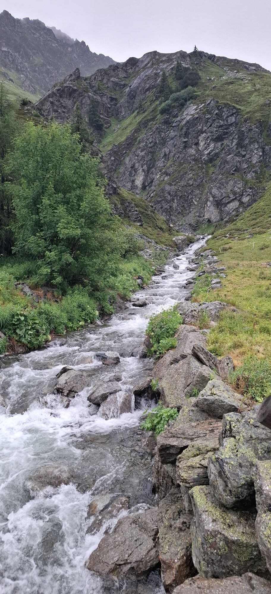
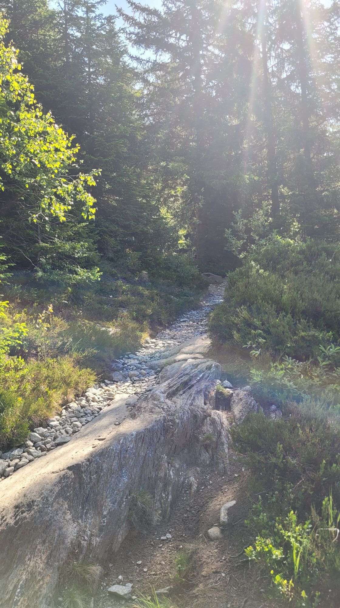
High moor landscape with glacier view: ascent by cable car to the mountain station (1550 m). Climb first through forest, then through beautiful high moorland to Wiegensee (1940 m) and further into the Verbellatal to Verbellaalpe. From Verbellaalpe take the easy descent towards Zeinisjochhaus. Return by bus.
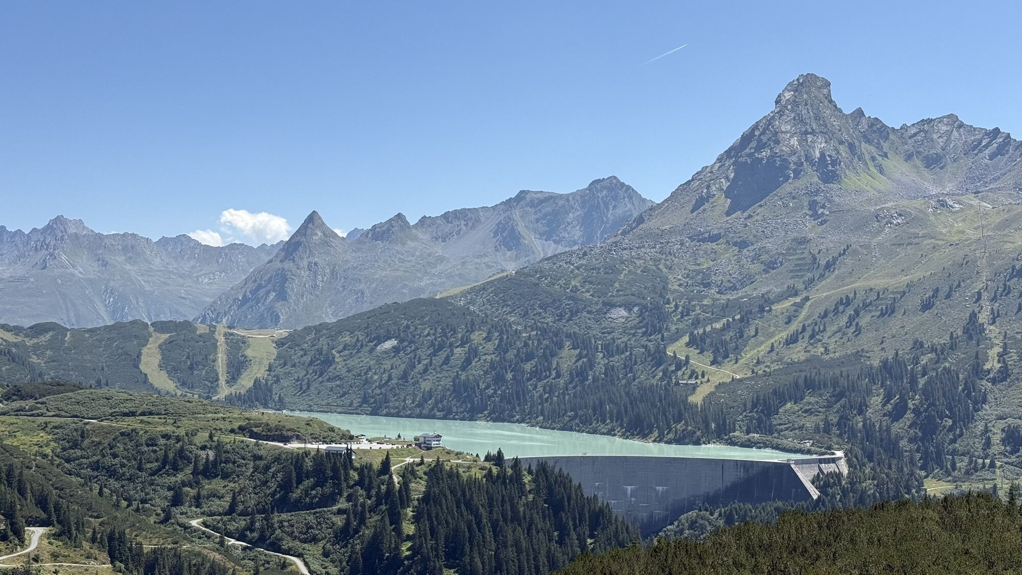
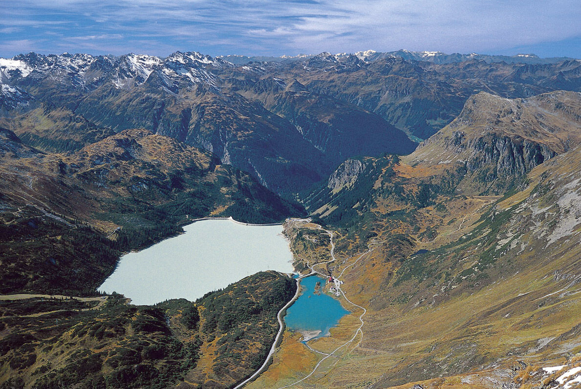
Silvretta high alpine road: scenic road between Partenen and Galtür/Tyrol, toll required, only accessible in summer. Bus and lift use free for holders of the Montafon Brandnertal Card - multi-day summer ticket. Protected high moor landscape at Wiegensee, Kops reservoir with arched dam wall. Idyllically located lake, wonderful view of the peaks and glaciers of the Silvretta.
Tak
Sturdy footwear and hiking poles recommended if needed
European emergency number: 112 (works with any mobile phone/network)
www.vorarlberg.travel/safety tips
Take the A14 exit Bludenz/Montafon and then follow the L188 into Montafon to Partenen to the Tafamuntbahn.
Just leave your car behind
The country buses run throughout the entire Montafon. The main lines run every half hour from Schruns train station.
Bus stop at start/finish of the route: Partenen mountain cable cars / line 650
Timetable: www.vmobil.at
Getting to Montafon by train
The Montafonerbahn runs hourly (sometimes every half hour) from Bludenz train station. There are also direct connections from Lindau (D) and from Bregenz.
Timetable: www.oebb.at
Parking lot Tafamuntbahn Partenen
Here you will find a short video of the Wiegensee, the oldest reservoir in Montafon:
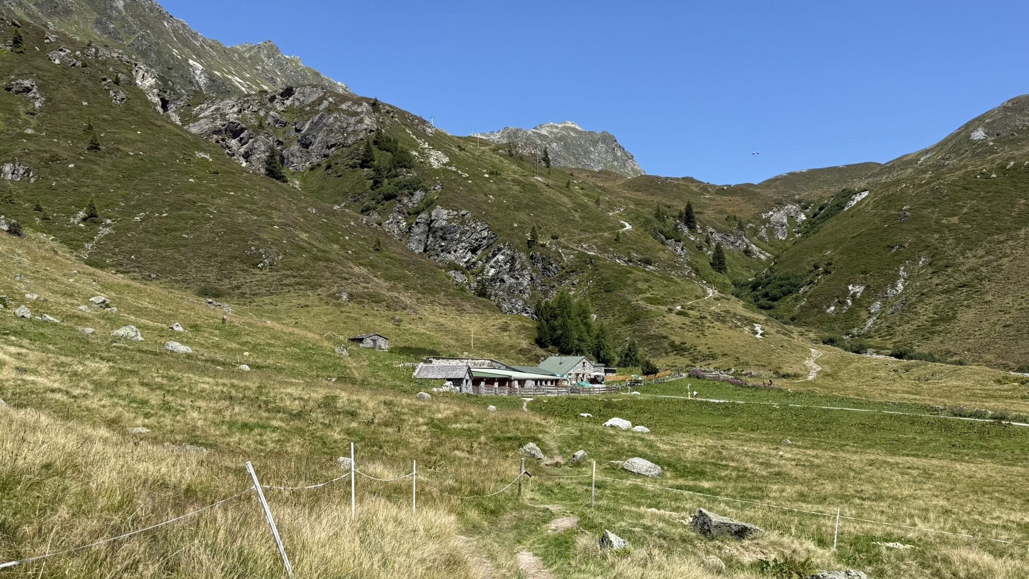
The Verbellaalpe is located on the way and is a great place to stop. You can refill your water bottle at the fountain with clear, fresh, and ice-cold spring water or be served by Martina and enjoy a glass of fresh cow's milk from happy alpine cows. Either way, you will be strengthened to tackle the rest of the path.

 Uzyskaj wgląd Zawsze na żywo z ponad 9 500 kamer internetowych. bergfex Jako użytkownik Pro, możesz teraz zobaczyć odpowiednie kamery internetowe dla wielu wycieczek w aplikacji wycieczki od. Pozwala to na bezpośredni podgląd aktualnych warunków.
 Aktywności na trasie

Gaschurn, Vorarlberg/Österreich
02.08.2026 – Wędrówka
Zeinissee Verbellaalpe, Wiegensee, Tafamundbahn
16.07.2026 – Wędrówka
Gaschurn, Vorarlberg/Österreich
12.07.2026 – WędrówkaGaschurn, Vorarlberg/Österreich
25.06.2026 – Wycieczki górskie
Gaschurn, Vorarlberg/Österreich
11.10.2025 – WędrówkaGaschurn, Vorarlberg/Österreich
02.10.2025 – WędrówkaZeinisjoch - Verbellaalpe - Wiegensee - Taffamundbahn
23.08.2025 – Wędrówka
Versalspitze Galtür
23.09.2024 – Wędrówka
Popularne wycieczki w okolicy
- 4,9
Hiking trail Piz Buin - view
średniWędrówka 14,4 km - 4,7
Kristberg - Wasserstubental - Silbertal
światłoWędrówka 13,8 km - 4,5
Madrisella summit path
średniTrasa tematyczna 10,8 km - 4,8
Heilbronner lodge
średniWędrówka 13,0 km - 4,9
Alpgues Runde
średniWędrówka 9,21 km - 4,8
Madrisella via ferrata
ciężkiVia ferrata 8,52 km - 4,2
St Anton zur Darmstädter Hütte
ciężkiMountainbike 28,4 km - 5,0
Menta Alm - Scheibenalm
światłoWędrówka 11,4 km - 3,2
Bielerhöhe and circular hike around the Silvretta reservoir
średniWędrówka 13,1 km - 4,7
Gargellner Window Path
średniTrasa tematyczna 7,21 km
Wędrówki i tropienie


Nie przegap ofert i inspiracji na następne wakacje
Twój adres e-mail została dodana do listy mailingowej.





