







Bielerhöhe and circular hike around the Silvretta reservoir
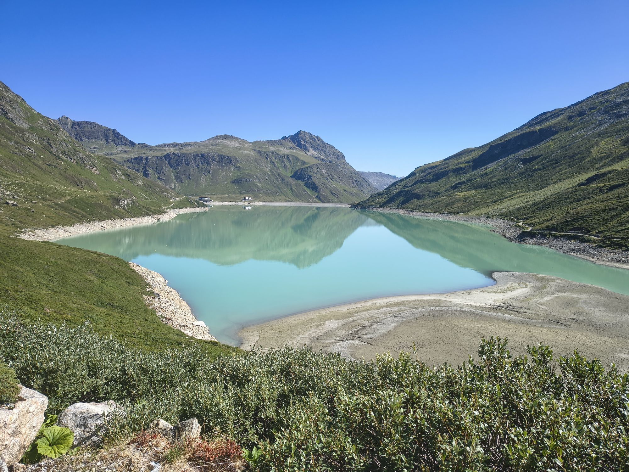
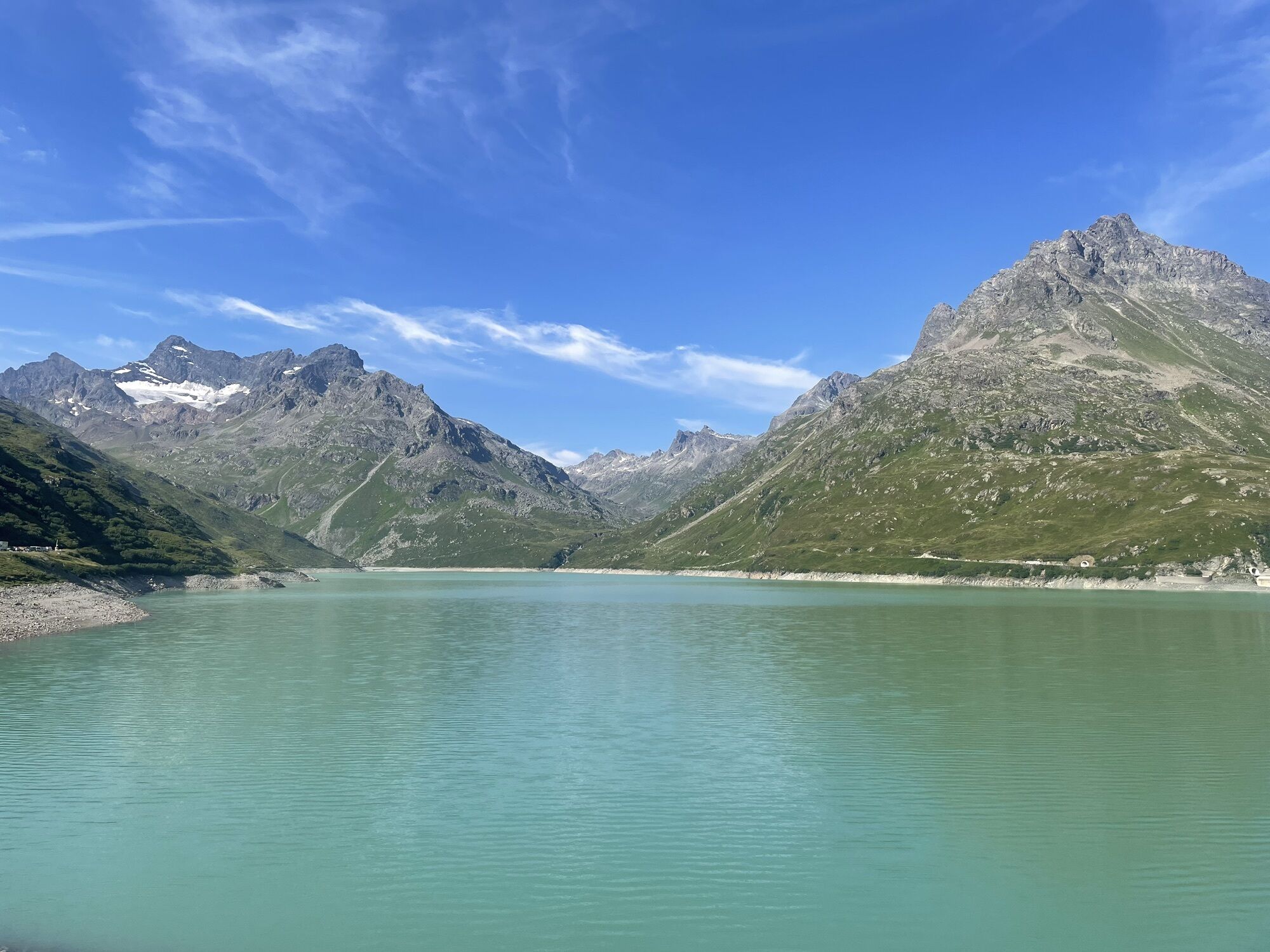
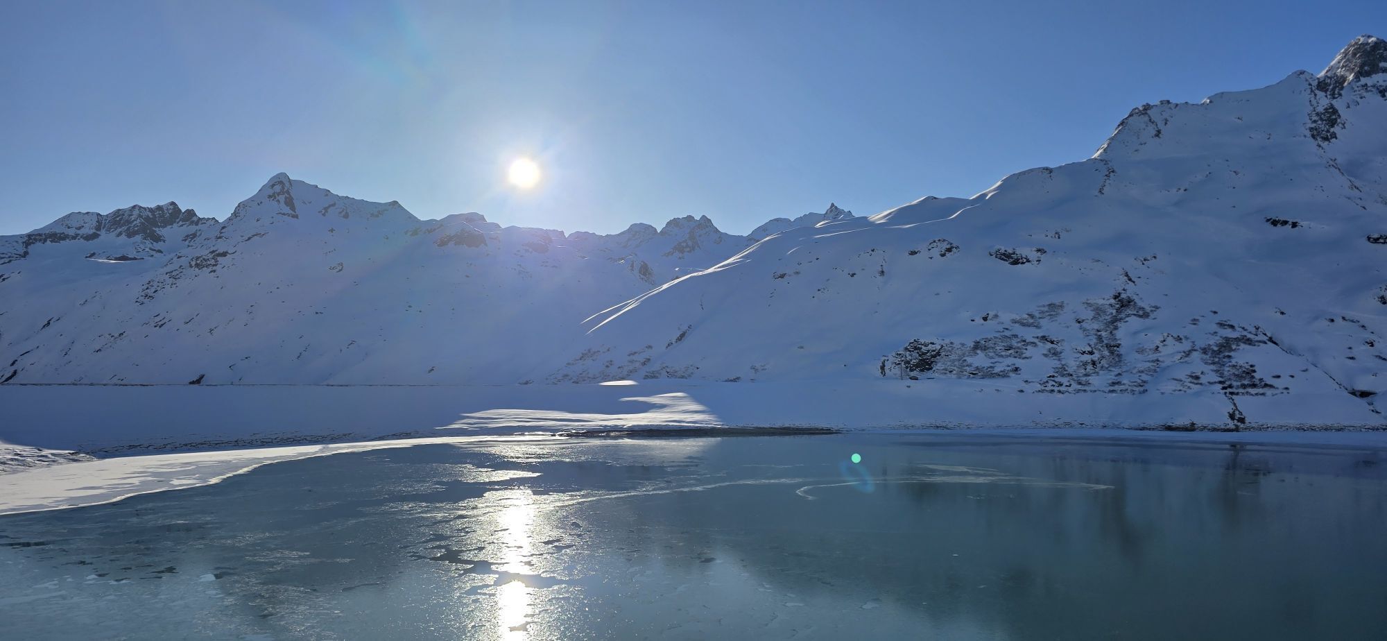
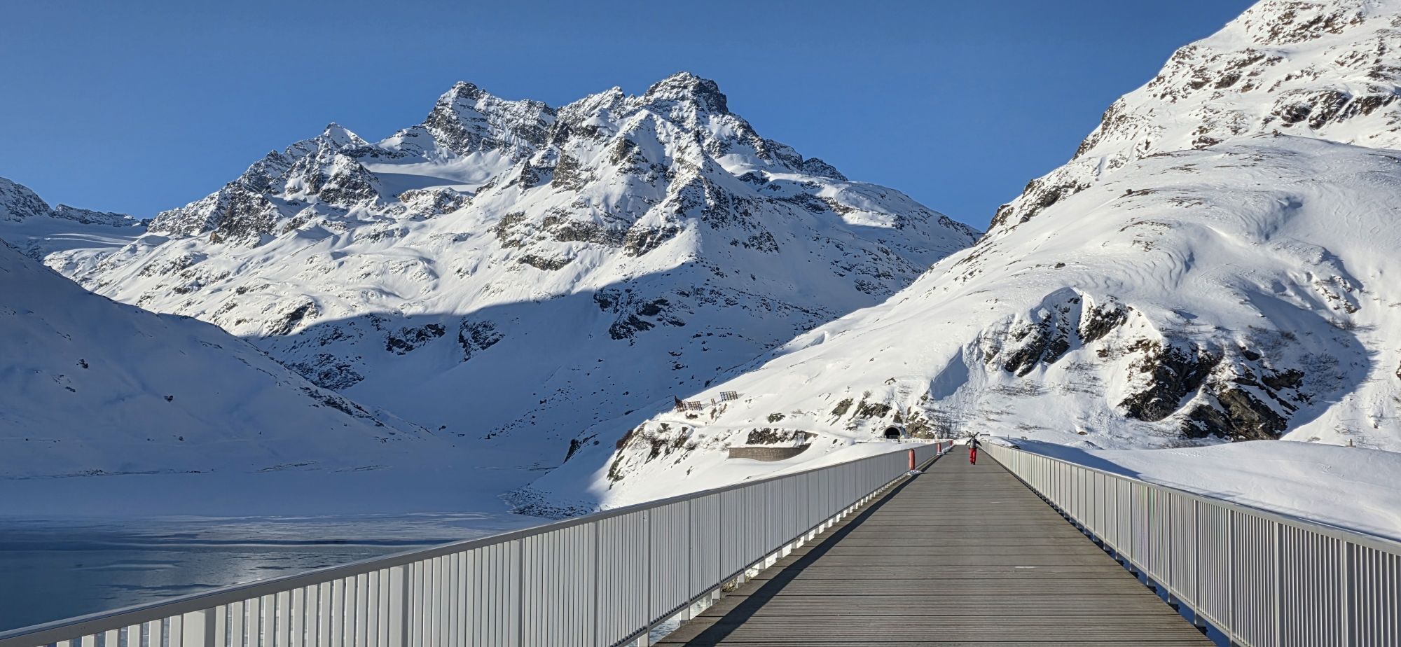
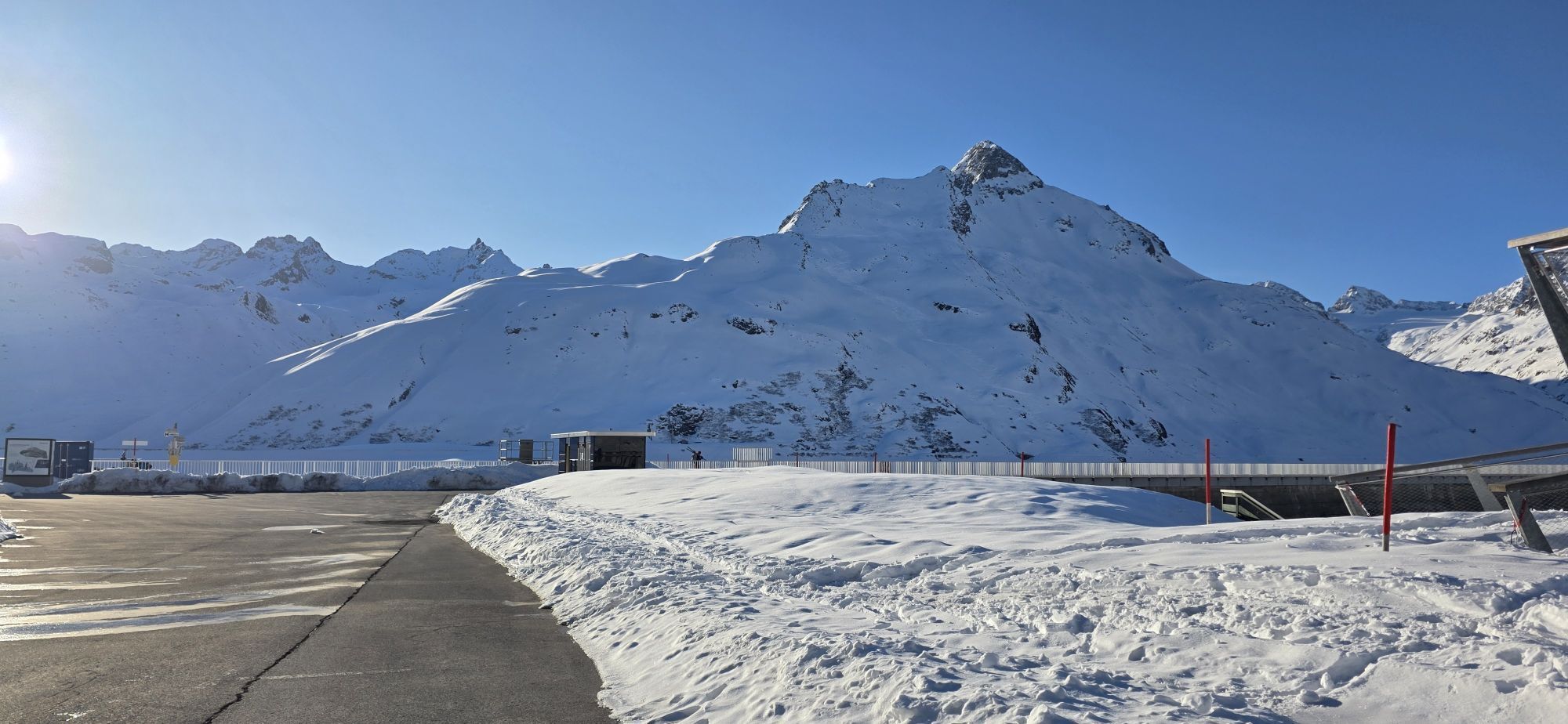
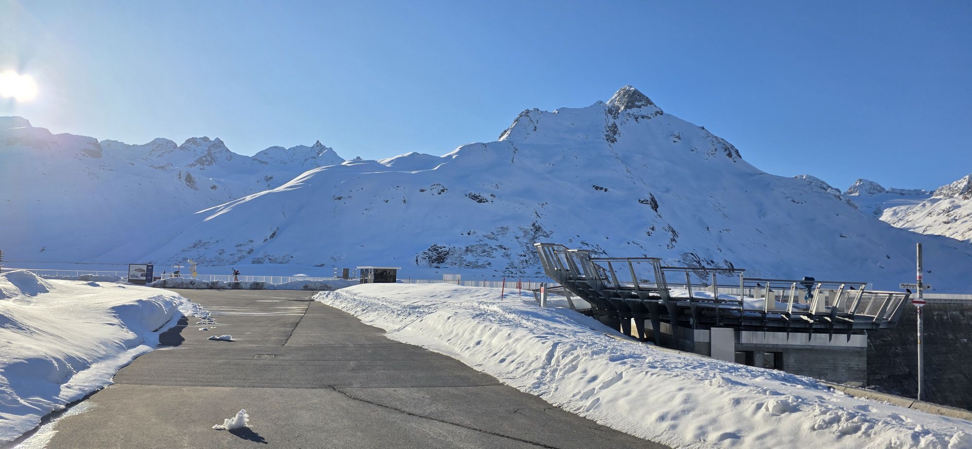
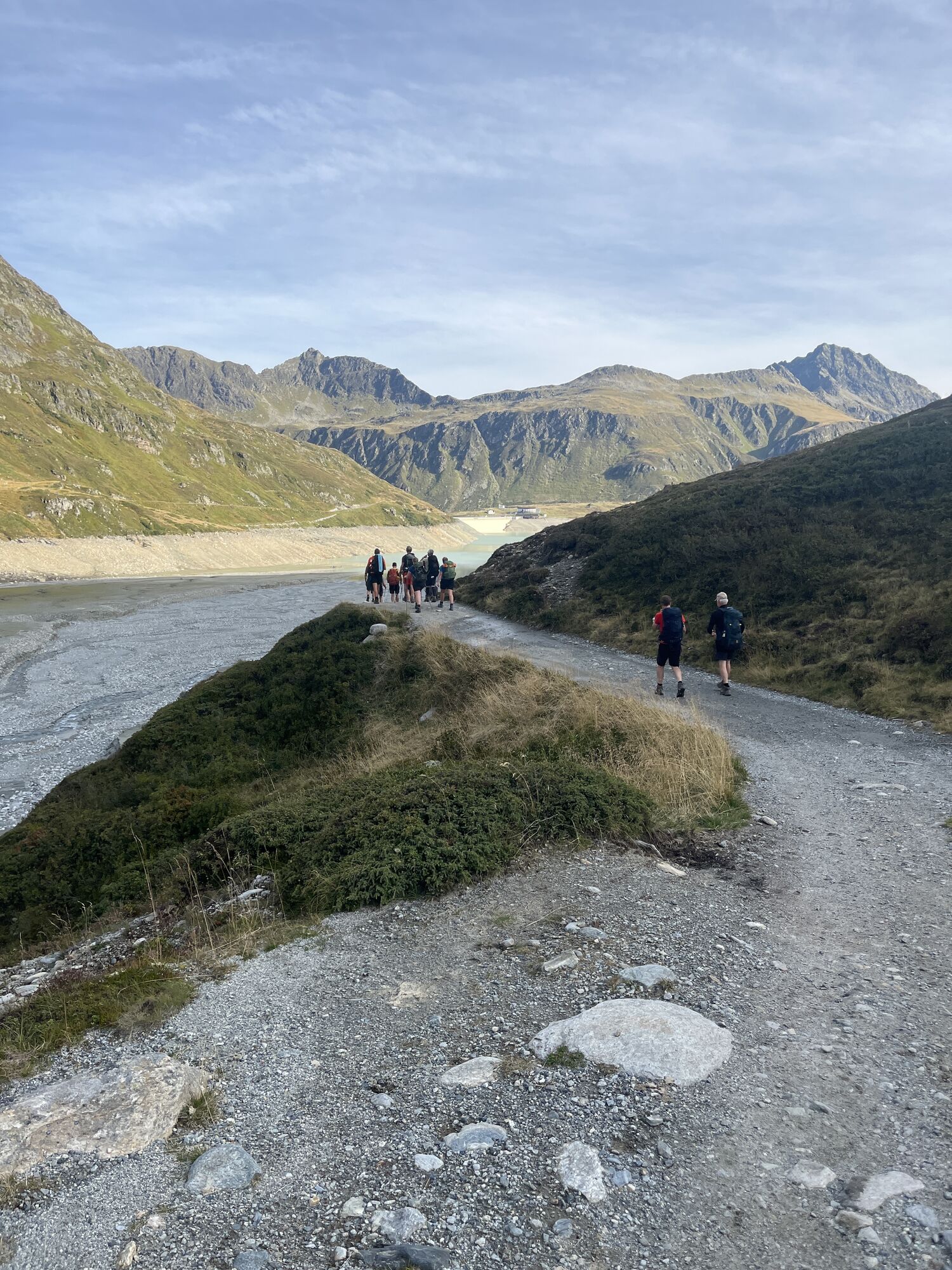
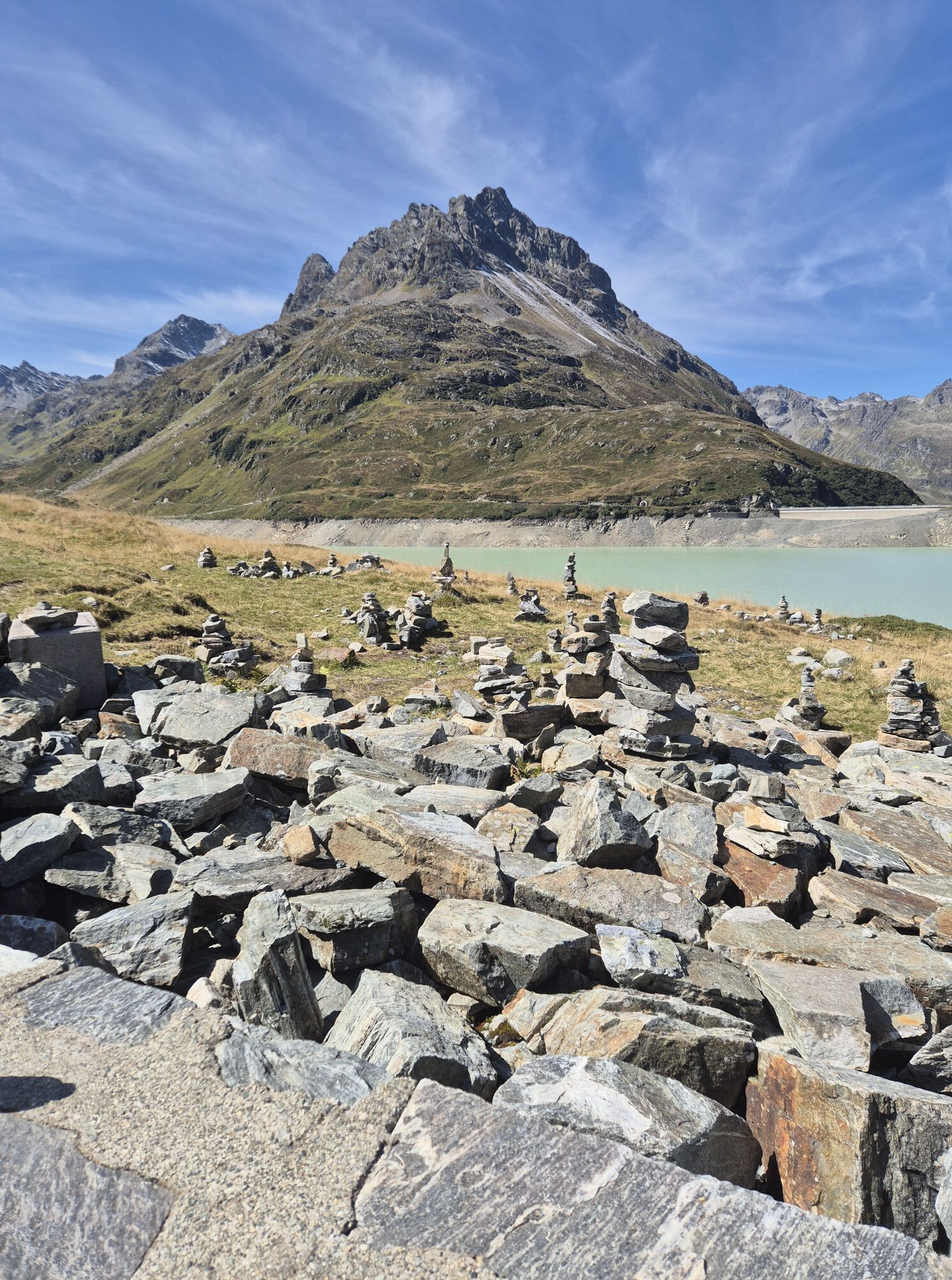
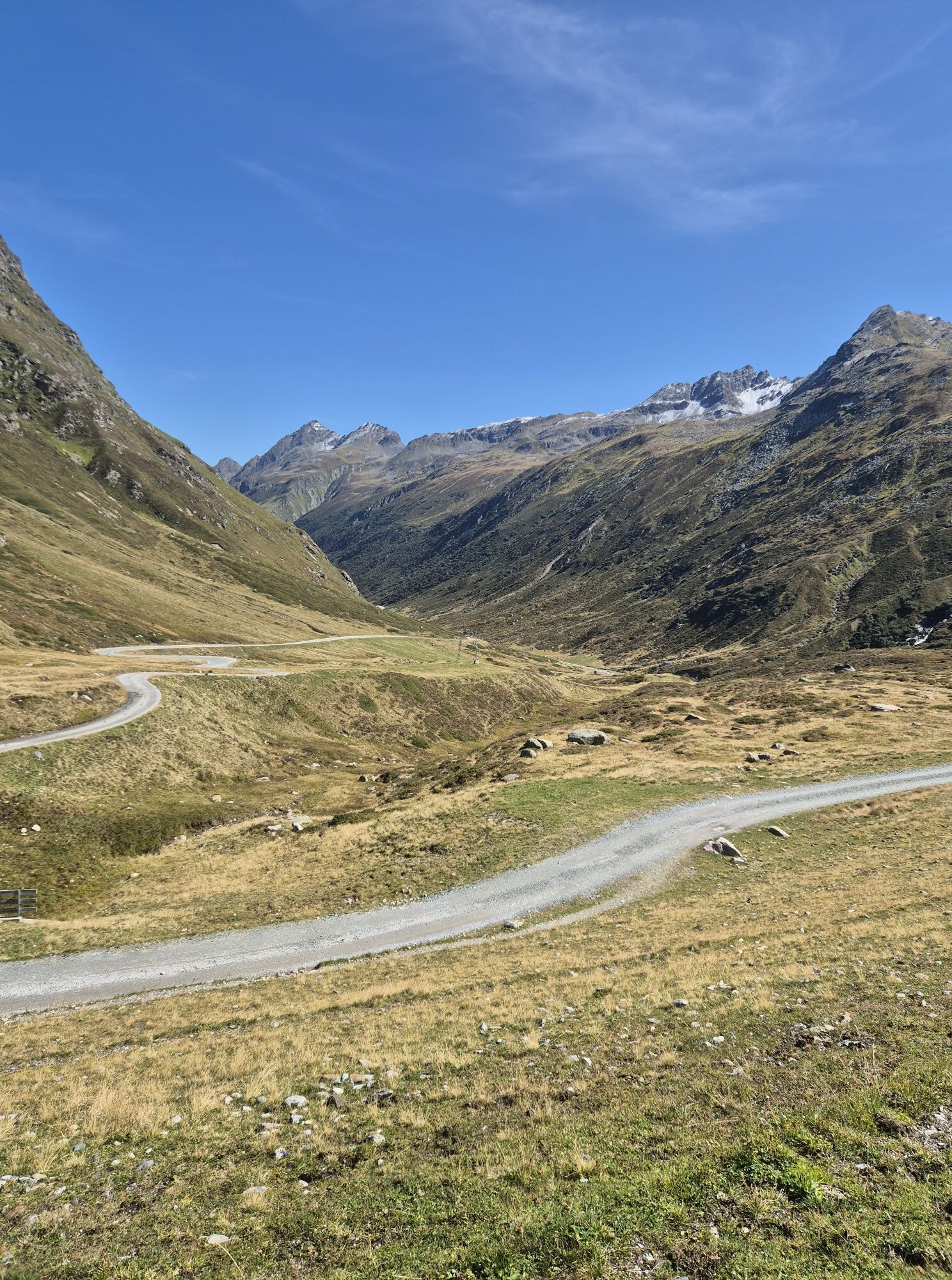
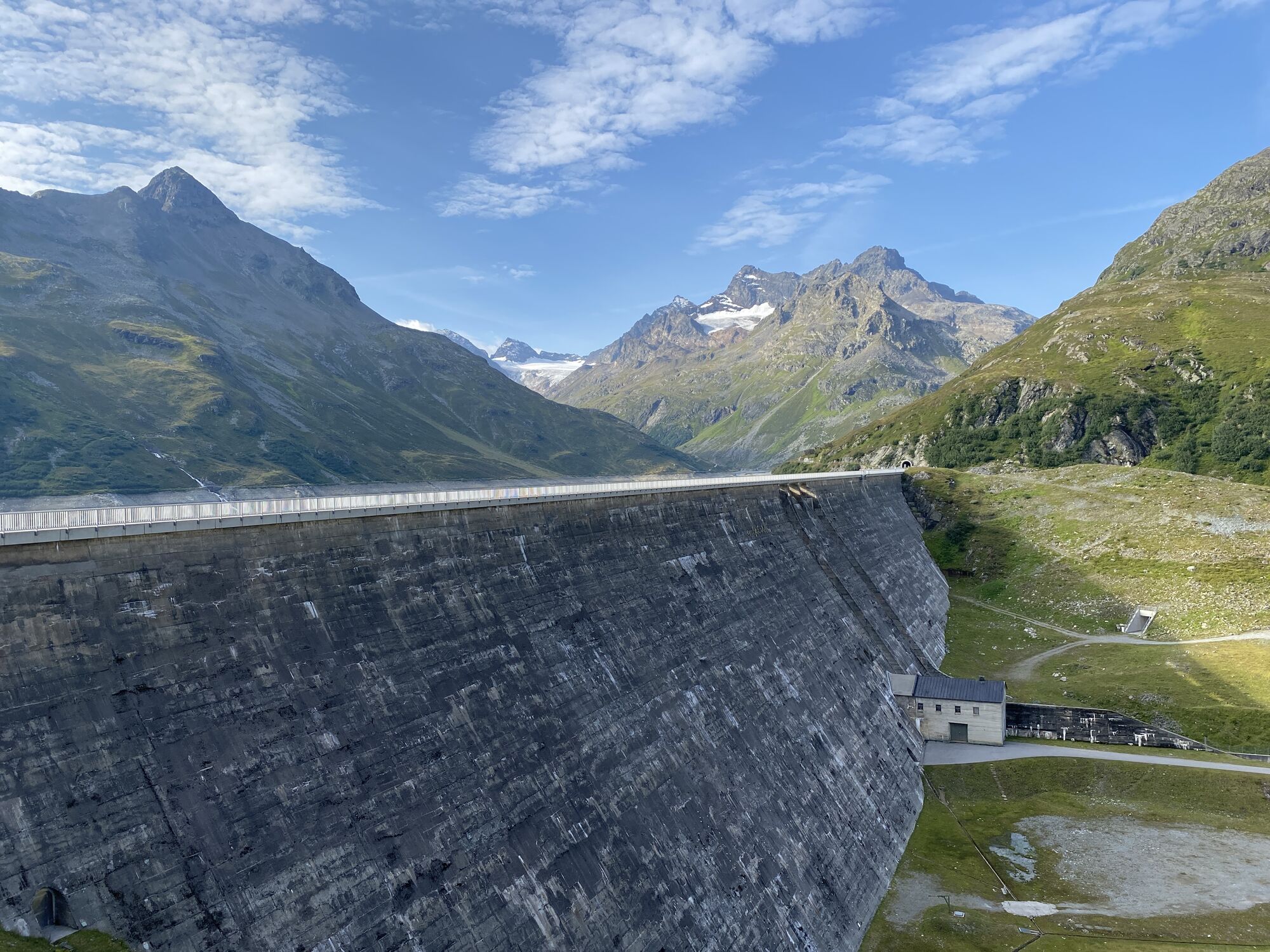
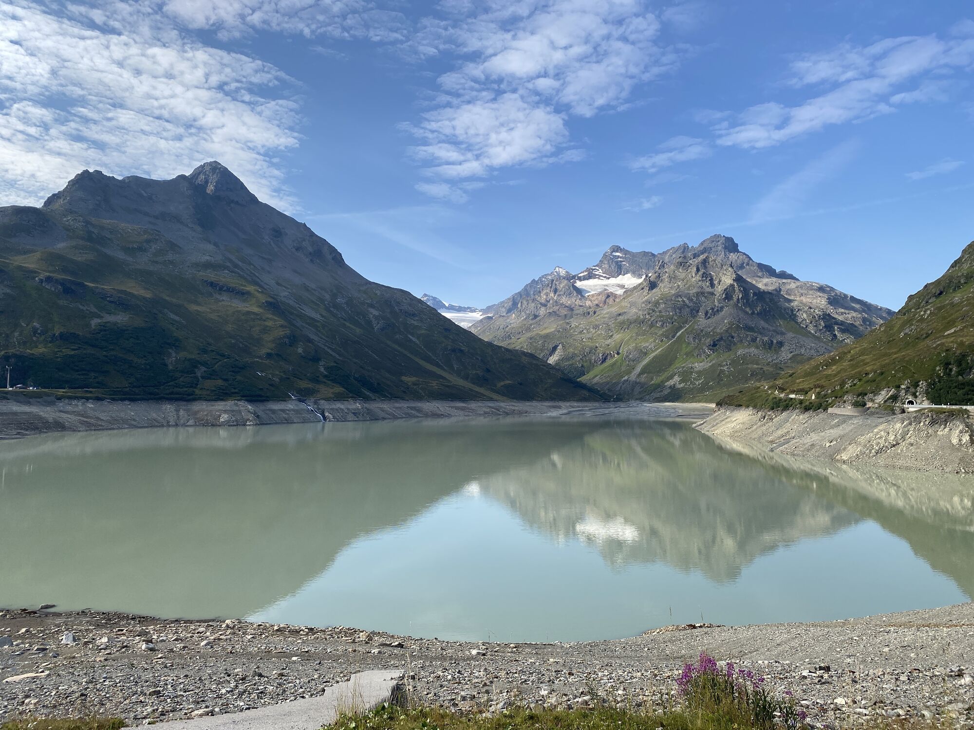
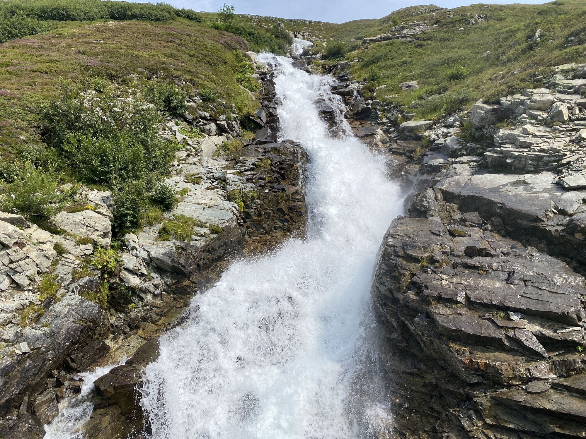
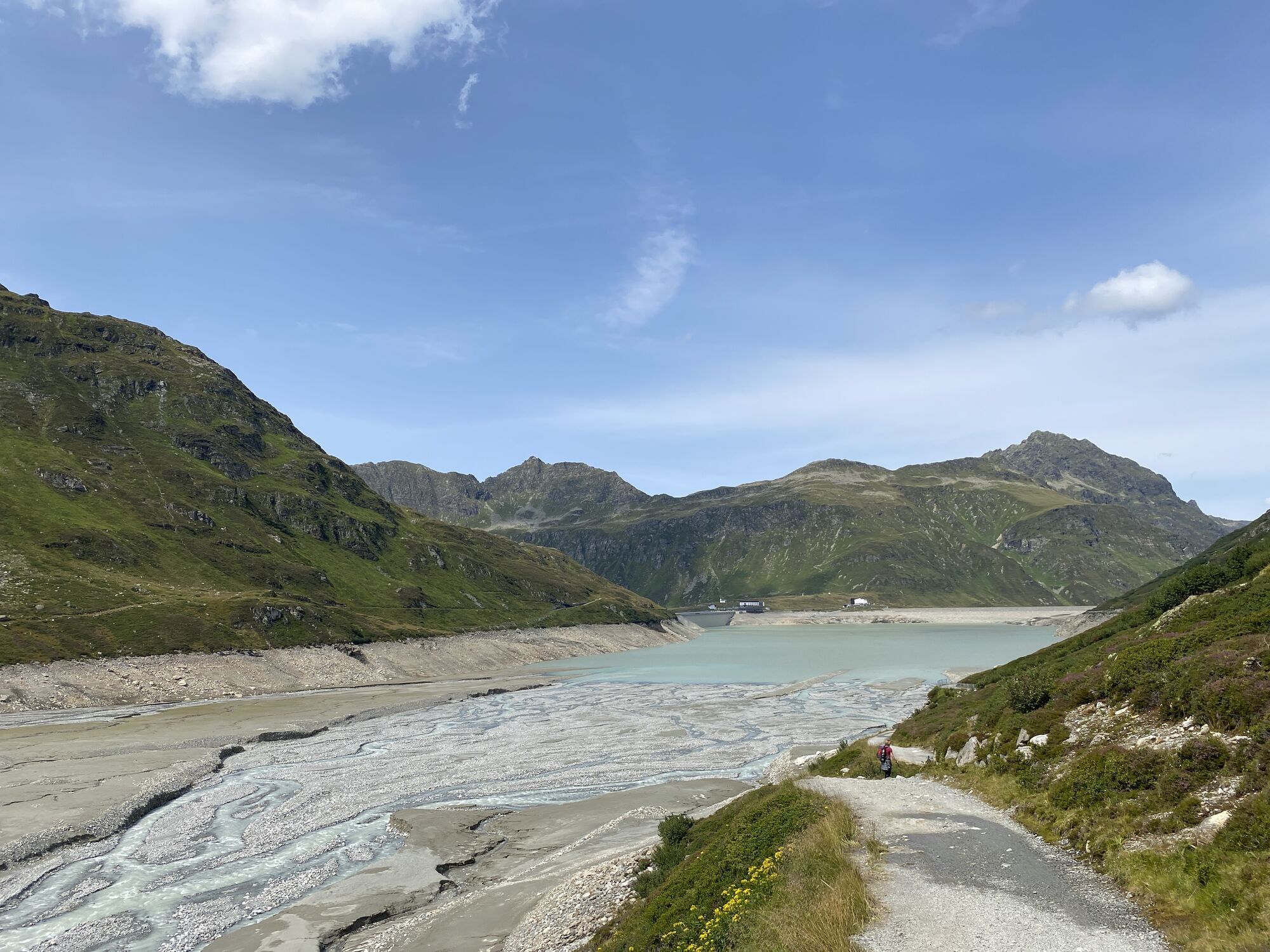
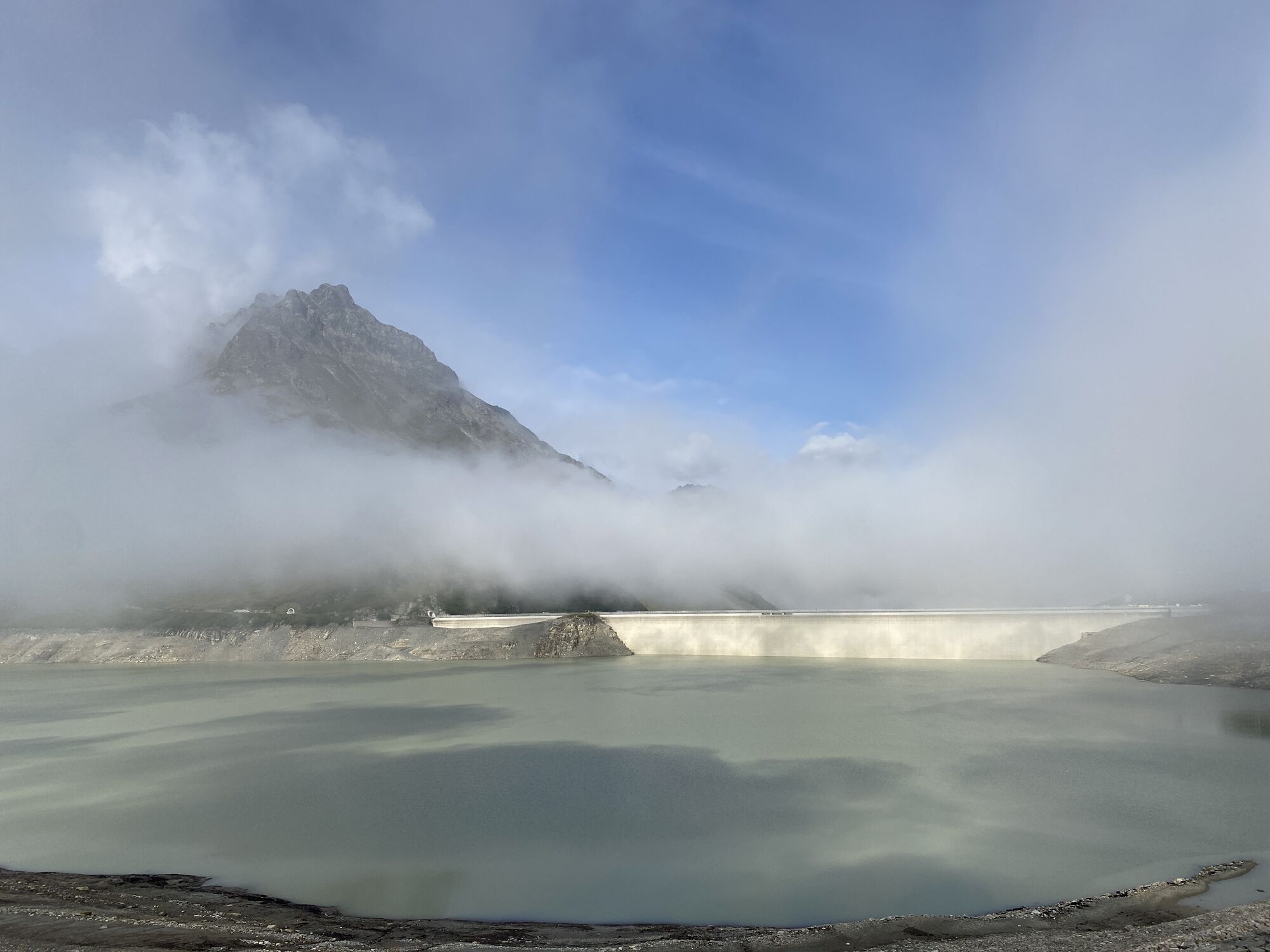
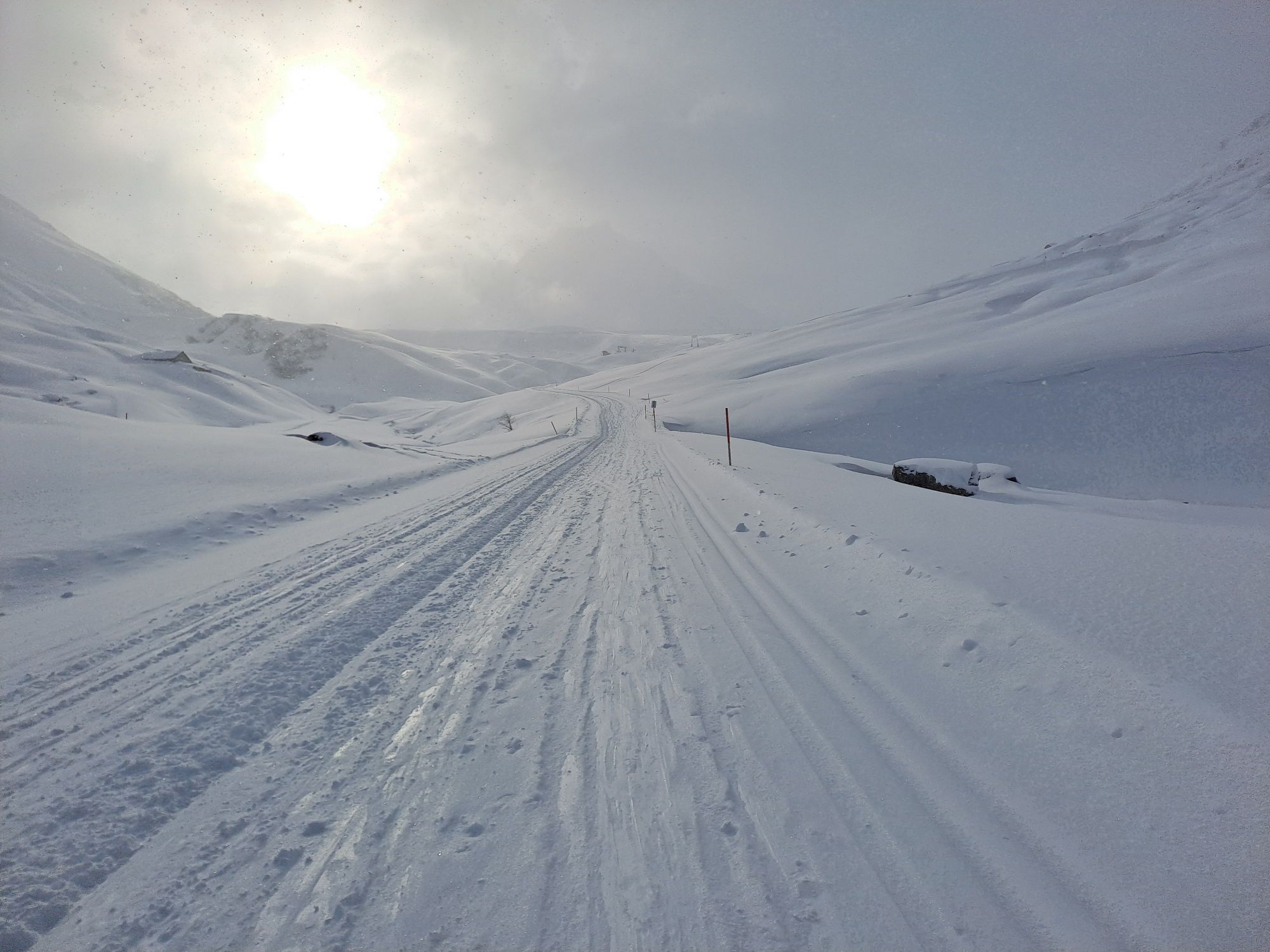

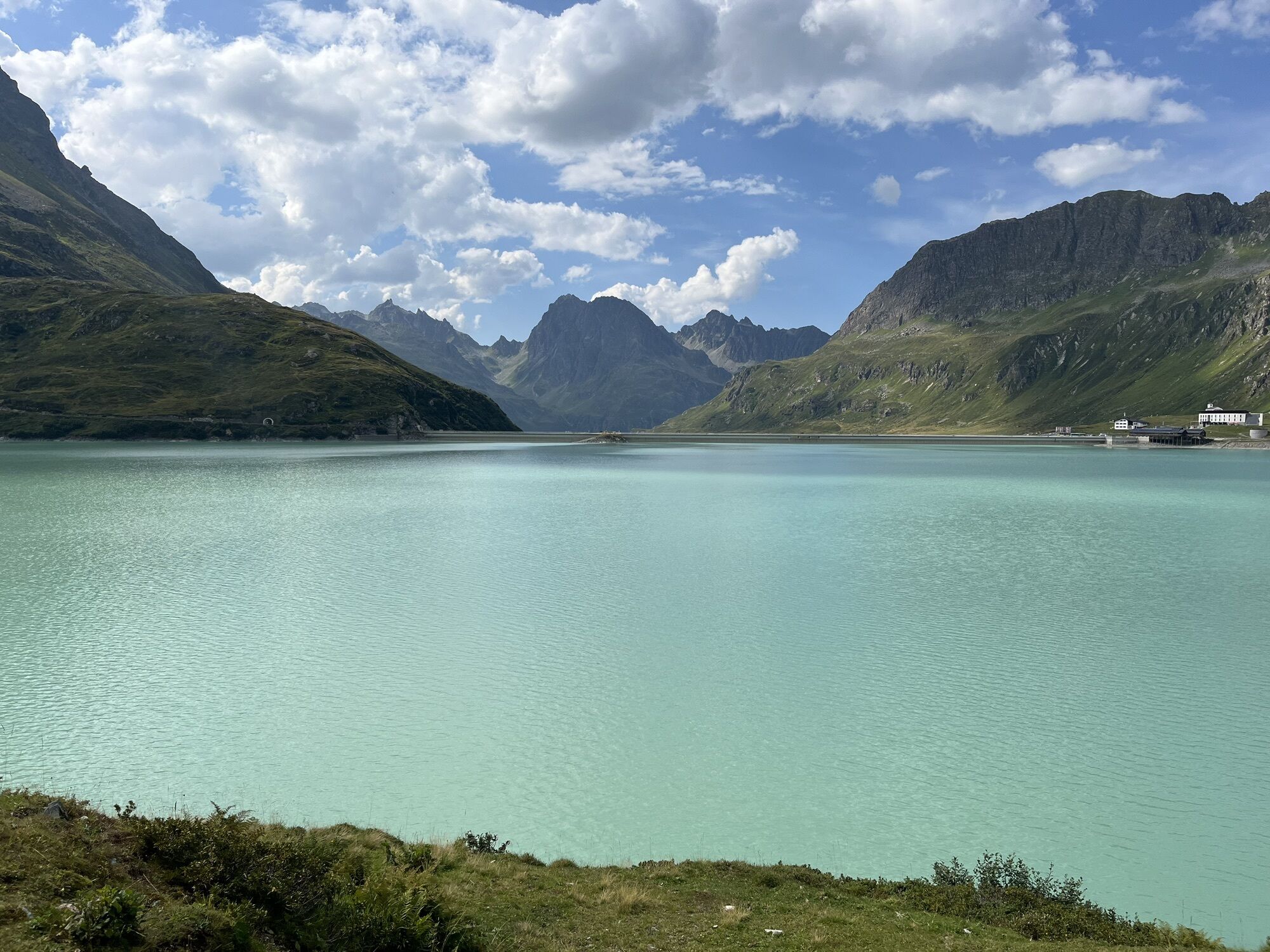
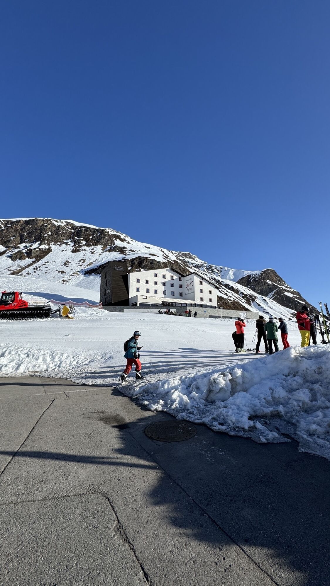
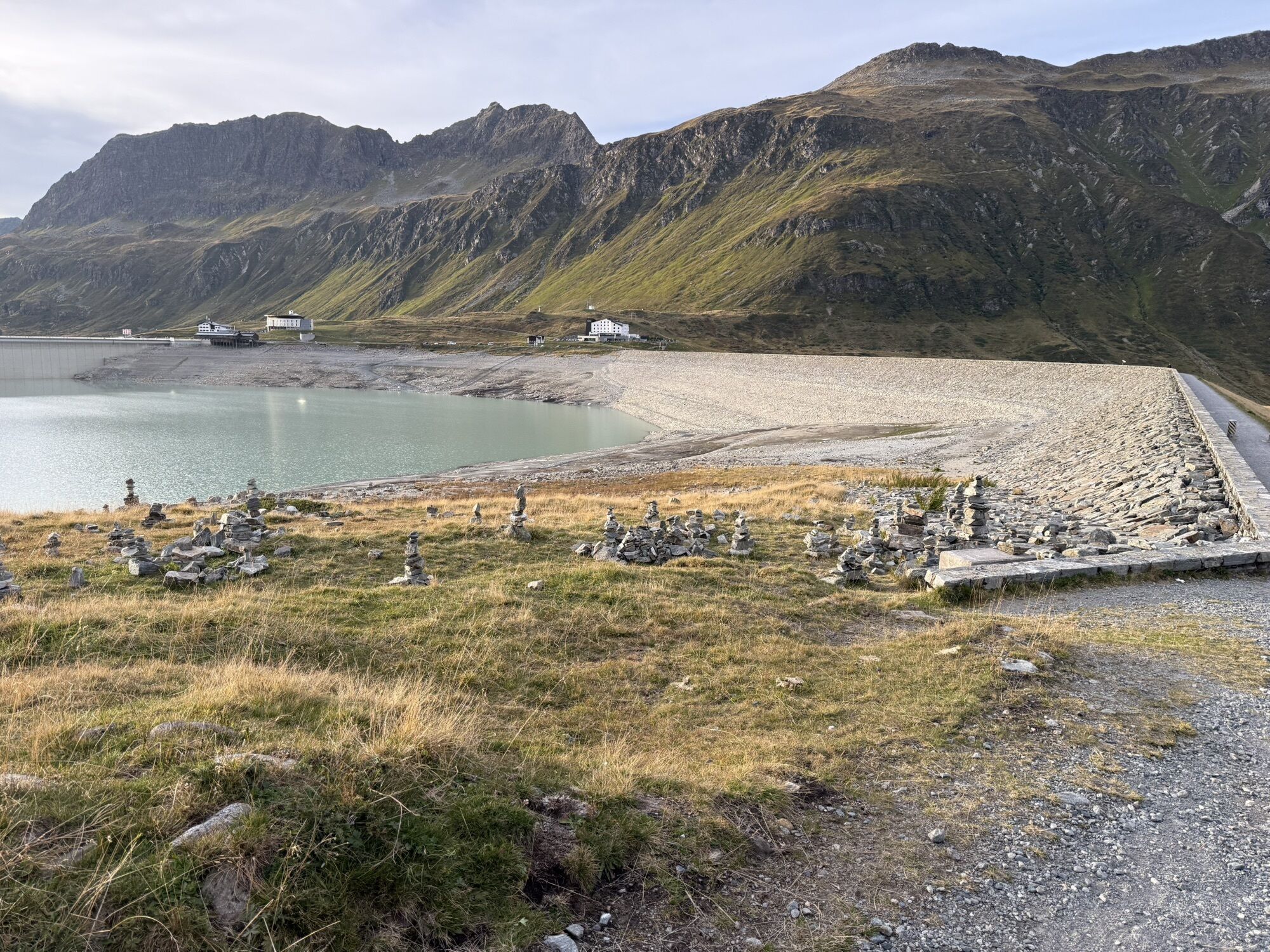
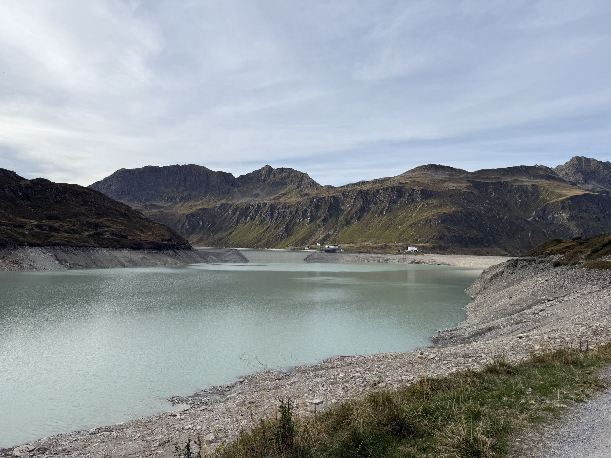
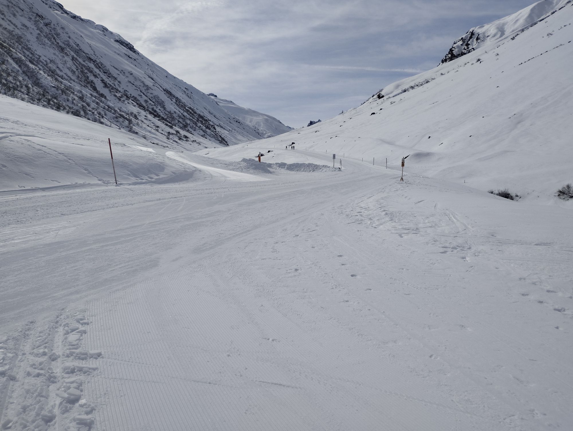
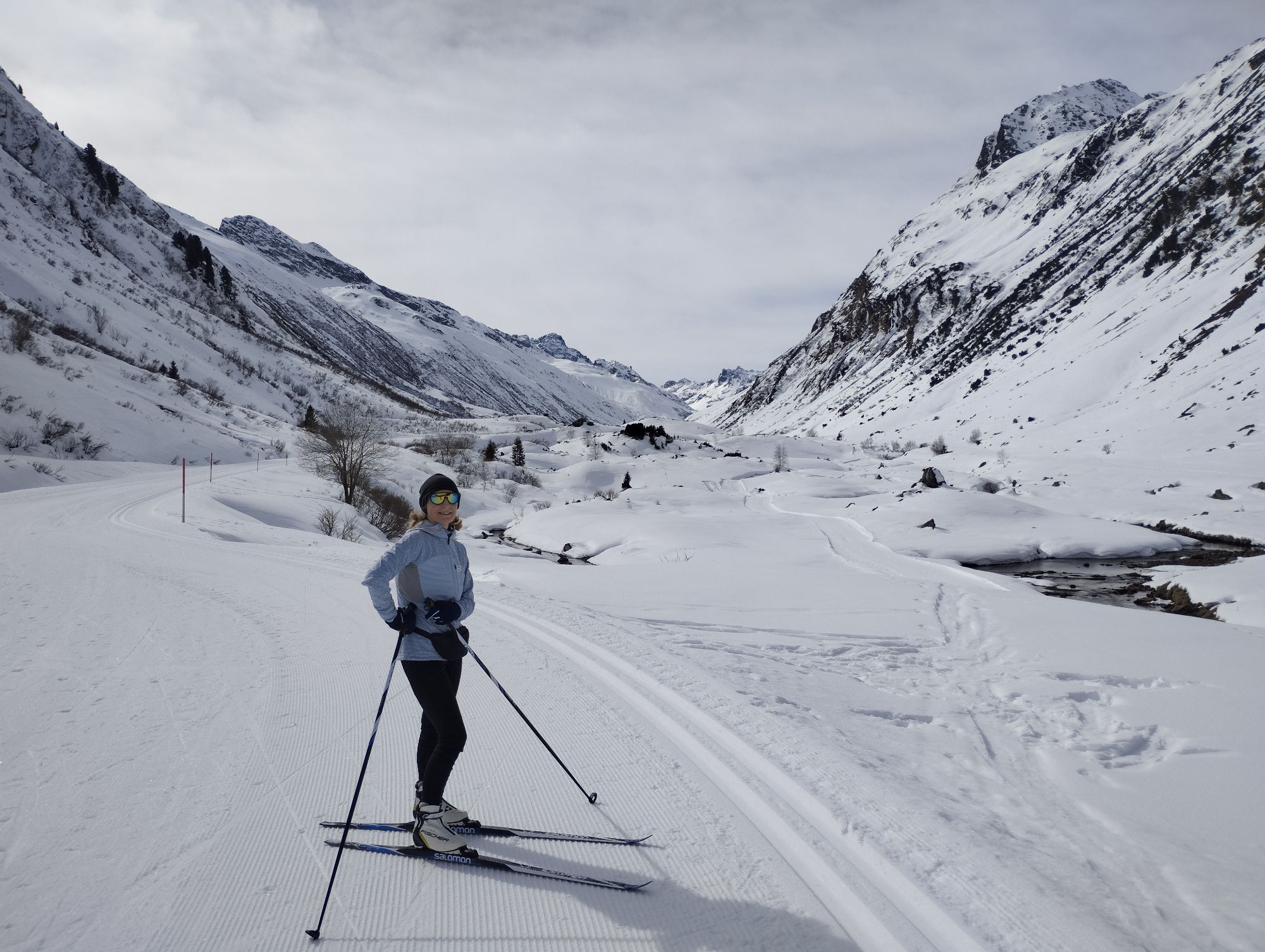
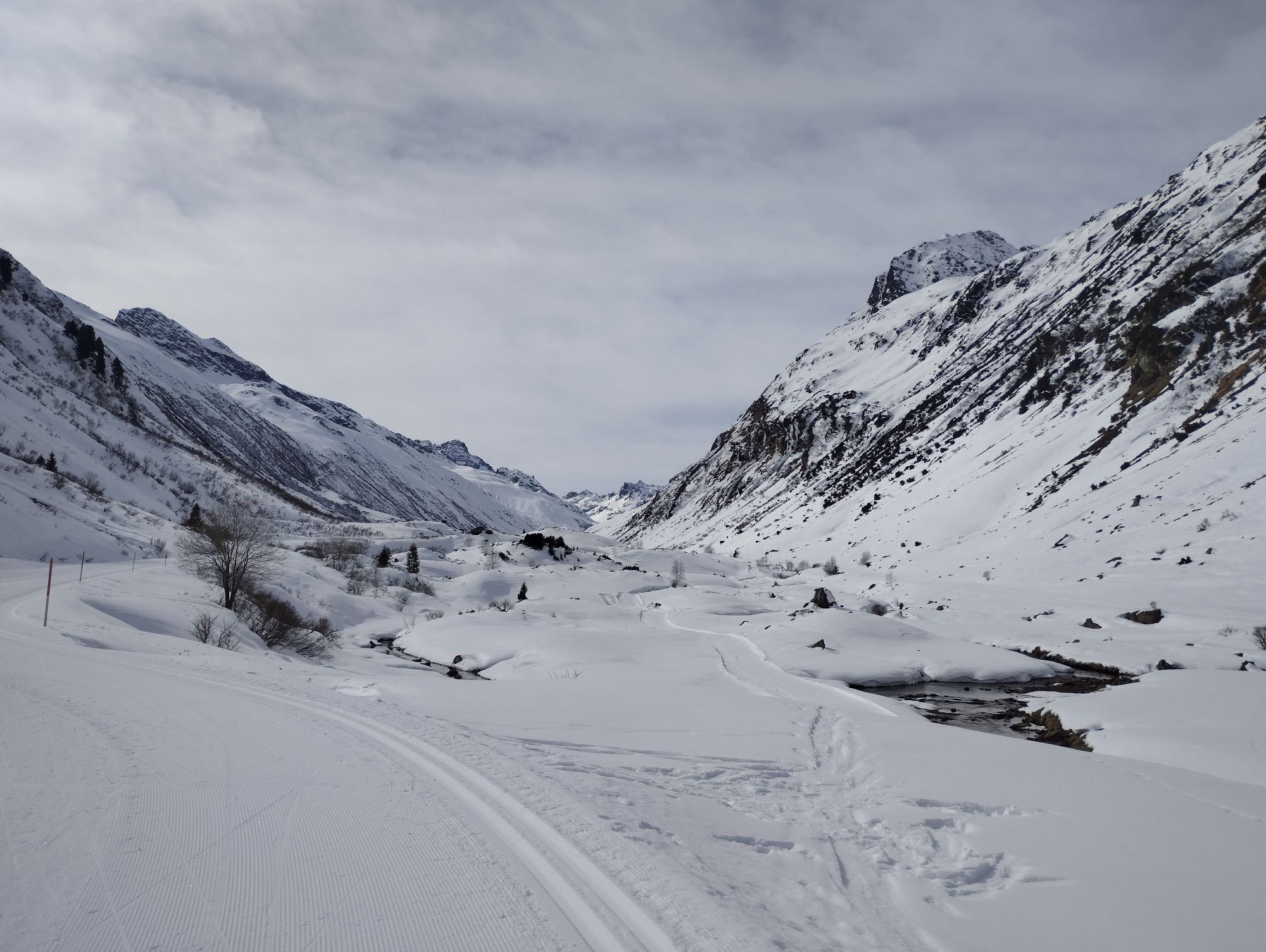
By car (toll-free) or bus you get to the parking ground just before the new toll area. There you cross the bridge and follow the gravel path up to Bieler höhe/Silvretta reservoir. The circular hike along...
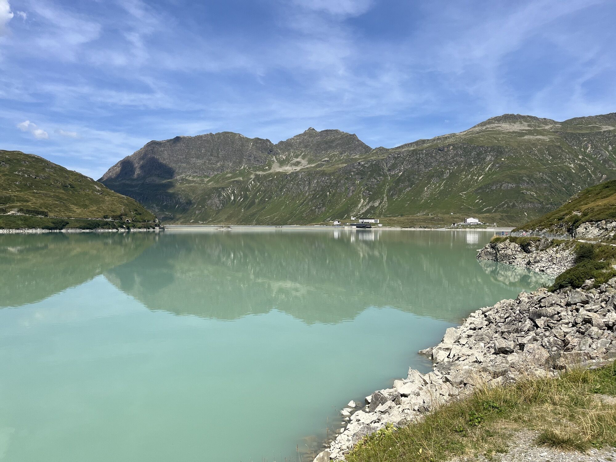
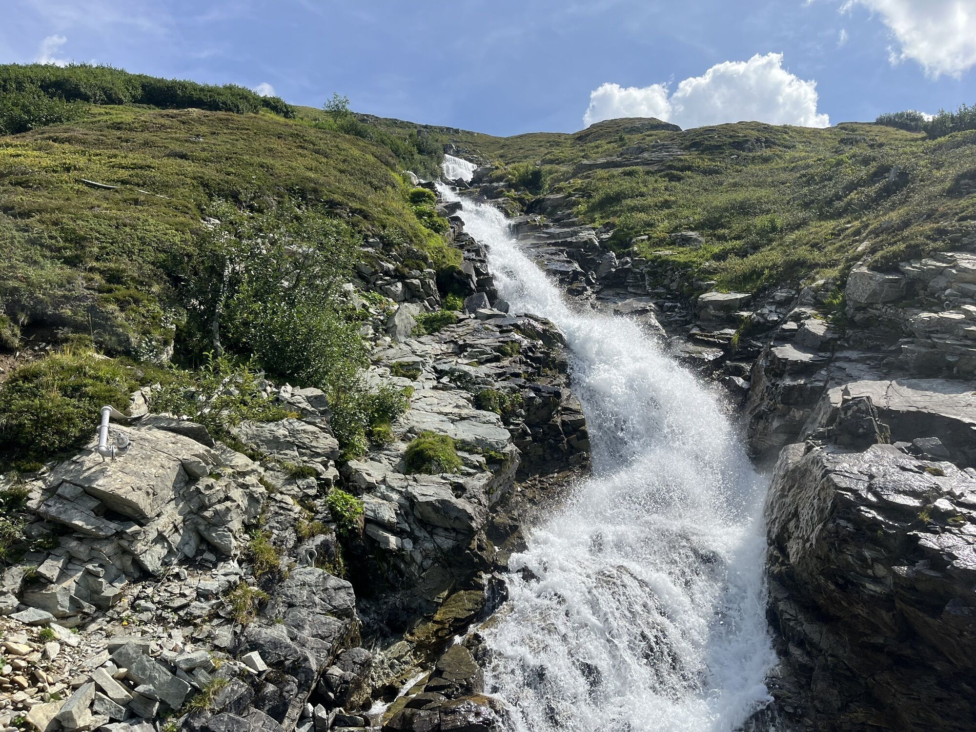
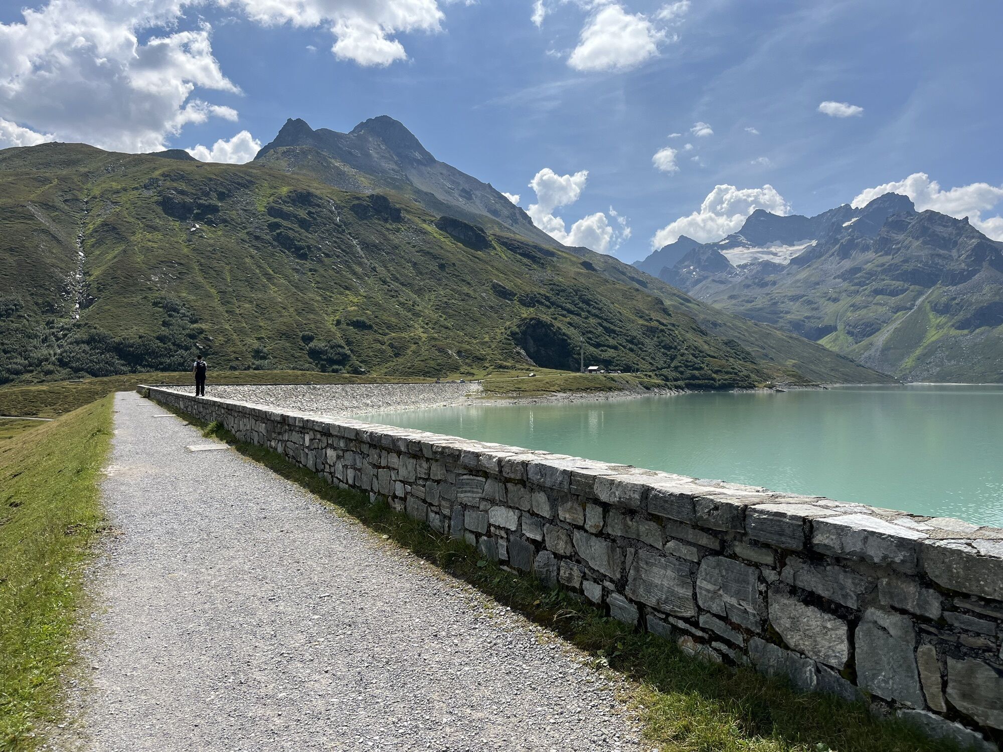
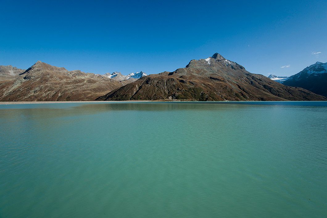
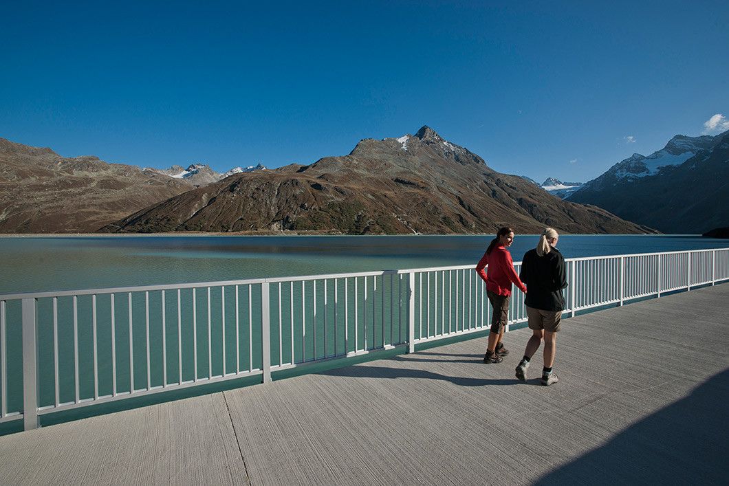
By car (toll-free) or bus you get to the parking ground just before the new toll area. There you cross the bridge and follow the gravel path up to Bieler höhe/Silvretta reservoir. The circular hike along the dam starts here, past the plummeting waterfalls of Bieltalbach, to the southern banks of the lake. Afterwards follow the west bank back until you get to Bielerhöhe. Enjoy the fantastic panoramic view to the famous andmajestic Piz Buin 3,312 metres. Return section: You can get back to Galtür in comfort on the bus; or you might prefer to choose to walk the same route back.



Gasthof Piz Buin, Seerestaurant
TVB Galtür
Tak
From Galtür you get by car or bus to the parking ground just before the new toll area
Birkhahnbahn Galtür, parking ground just before the toll area
 Uzyskaj wgląd
Zawsze na żywo z ponad 9 500 kamer internetowych. bergfex Jako użytkownik Pro, możesz teraz zobaczyć odpowiednie kamery internetowe dla wielu wycieczek w aplikacji wycieczki od. Pozwala to na bezpośredni podgląd aktualnych warunków.
Uzyskaj wgląd
Zawsze na żywo z ponad 9 500 kamer internetowych. bergfex Jako użytkownik Pro, możesz teraz zobaczyć odpowiednie kamery internetowe dla wielu wycieczek w aplikacji wycieczki od. Pozwala to na bezpośredni podgląd aktualnych warunków.


Popularne wycieczki w okolicy
-
4,9
Hiking trail Piz Buin - view
średniWędrówka 14,4 km -
4,5
Madrisella summit path
średniTrasa tematyczna 10,8 km -
4,8
Heilbronner lodge
średniWędrówka 13,0 km -
4,9
Alpgues Runde
średniWędrówka 9,21 km -
4,8
Madrisella via ferrata
ciężkiVia ferrata 8,52 km -
5,0
Menta Alm - Scheibenalm
światłoWędrówka 11,4 km -
5,0
Wiegensee-Kopssee
średniWędrówka 8,17 km -
4,5
Sonnenkogel - Friedrichshafener lodge
średniWędrówka 13,2 km -
4,5
Vom Kopssee zur Breitspitze Gemeinde Gaschurn, Vorarlberg/Österreich
średniWędrówka 12,5 km -
5,0
Wiegenseeweg
średniTrasa tematyczna 12,7 km
Wędrówki i tropienie


Nie przegap ofert i inspiracji na następne wakacje
Twój adres e-mail została dodana do listy mailingowej.





