






Over the Litznersattel to the Saarbrücker Hut
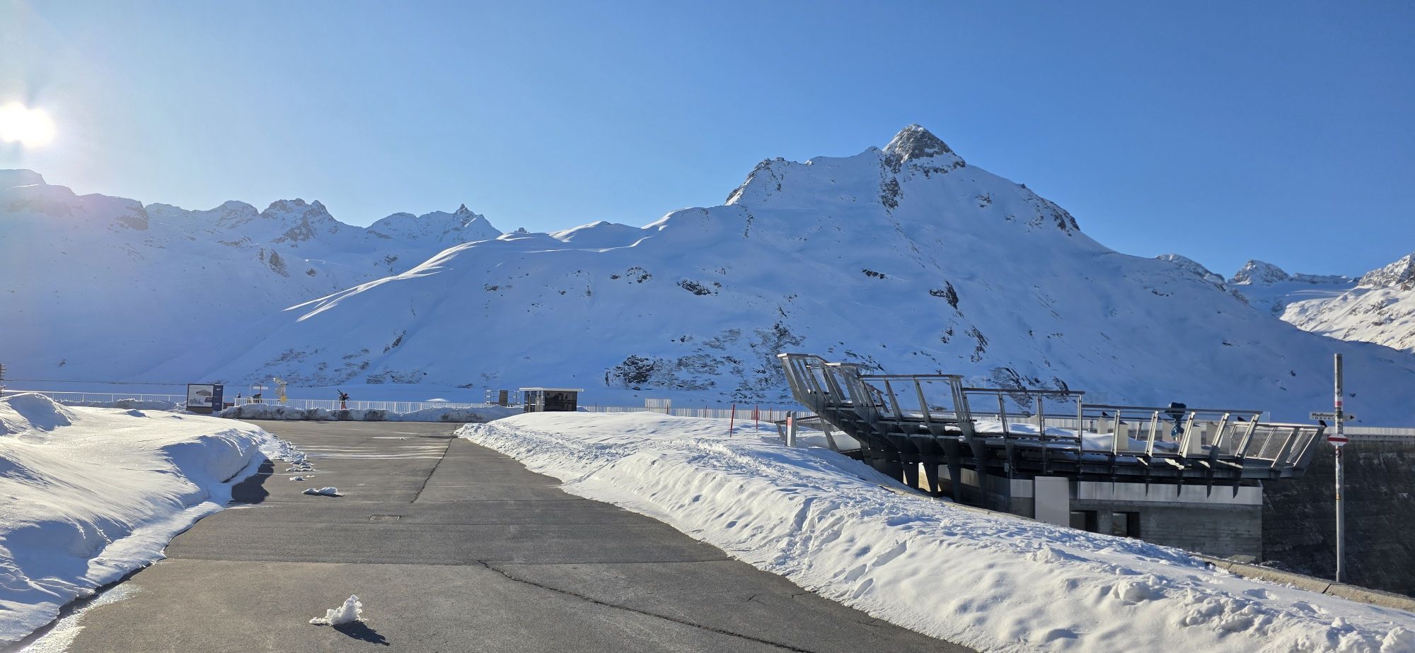
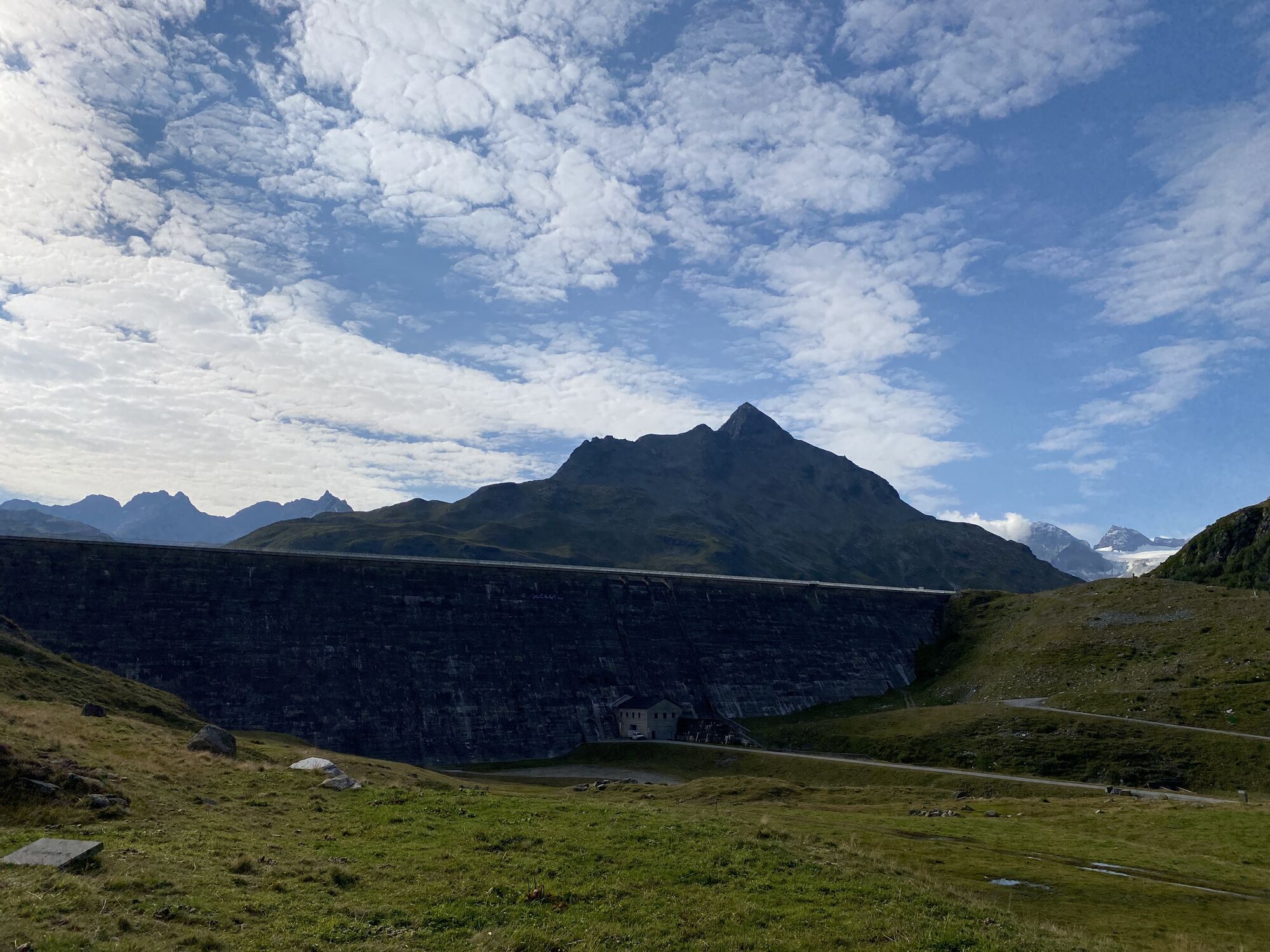
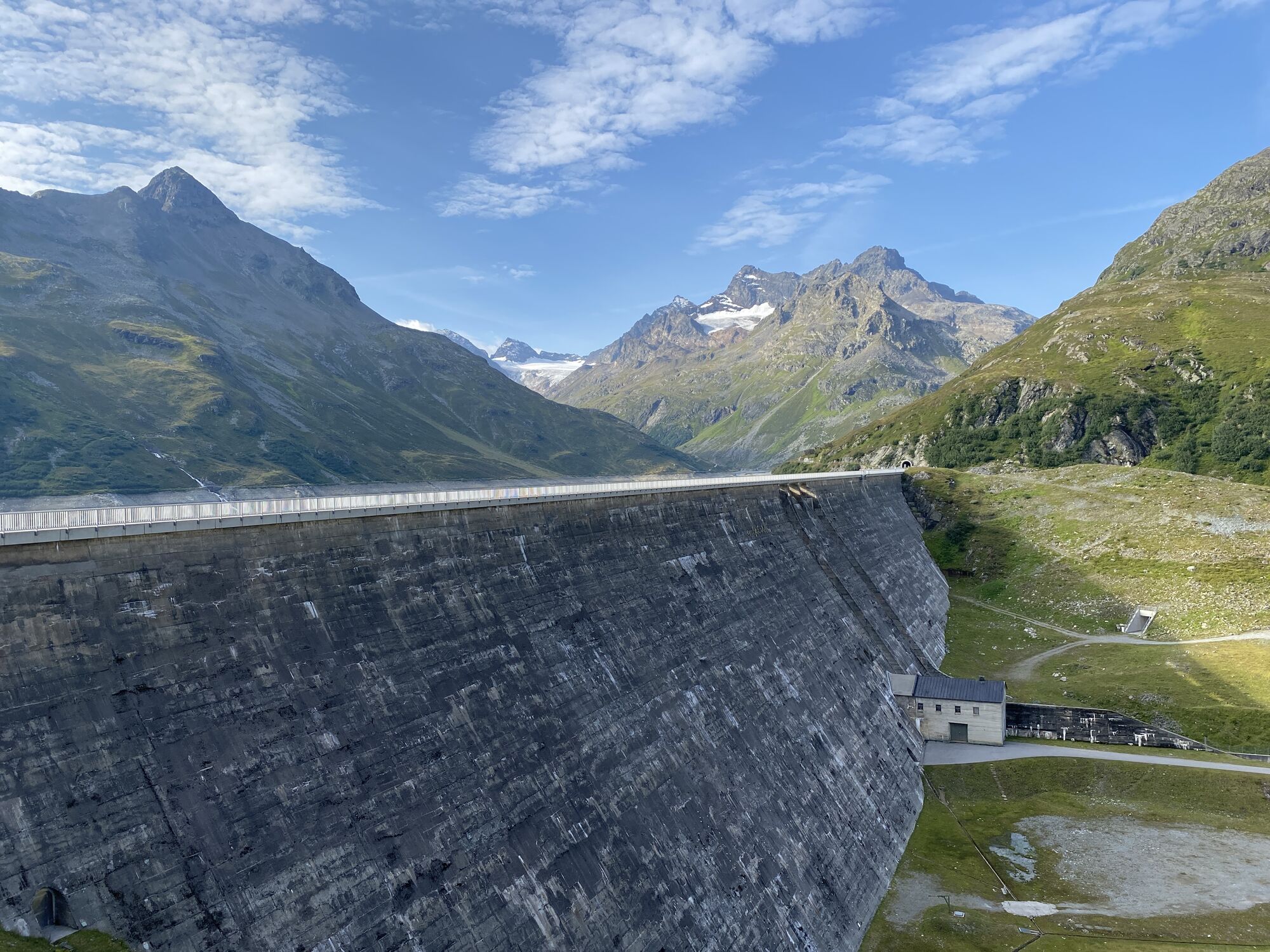
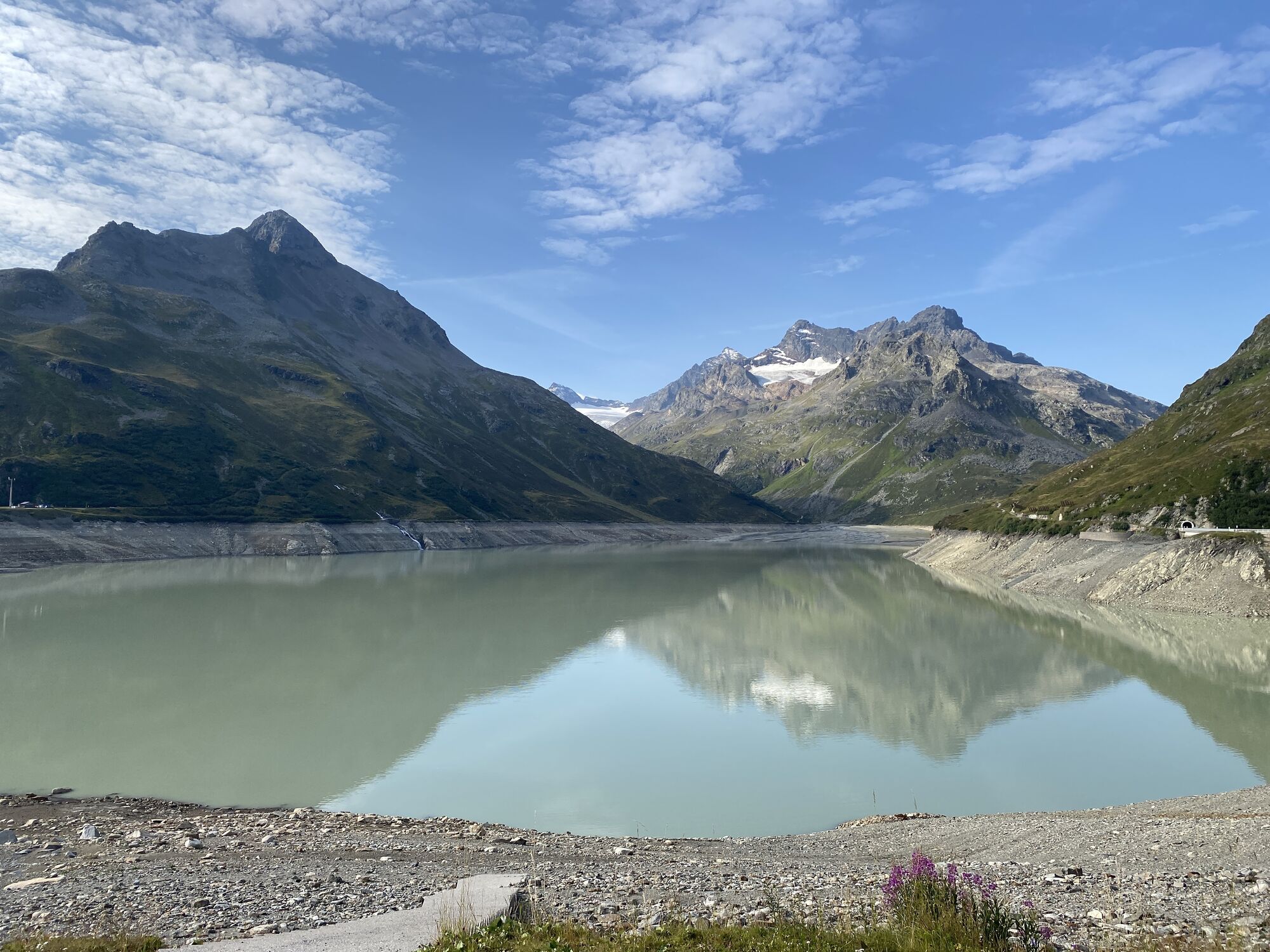
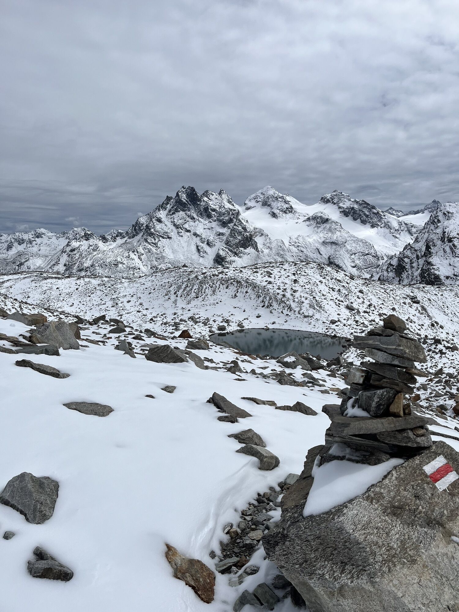
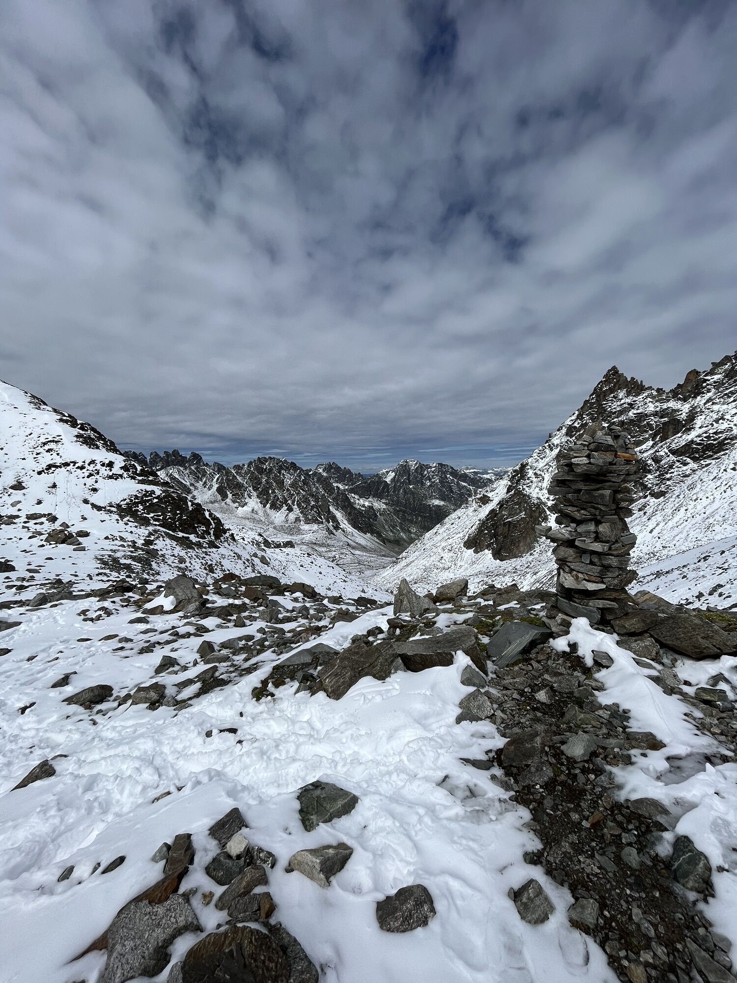
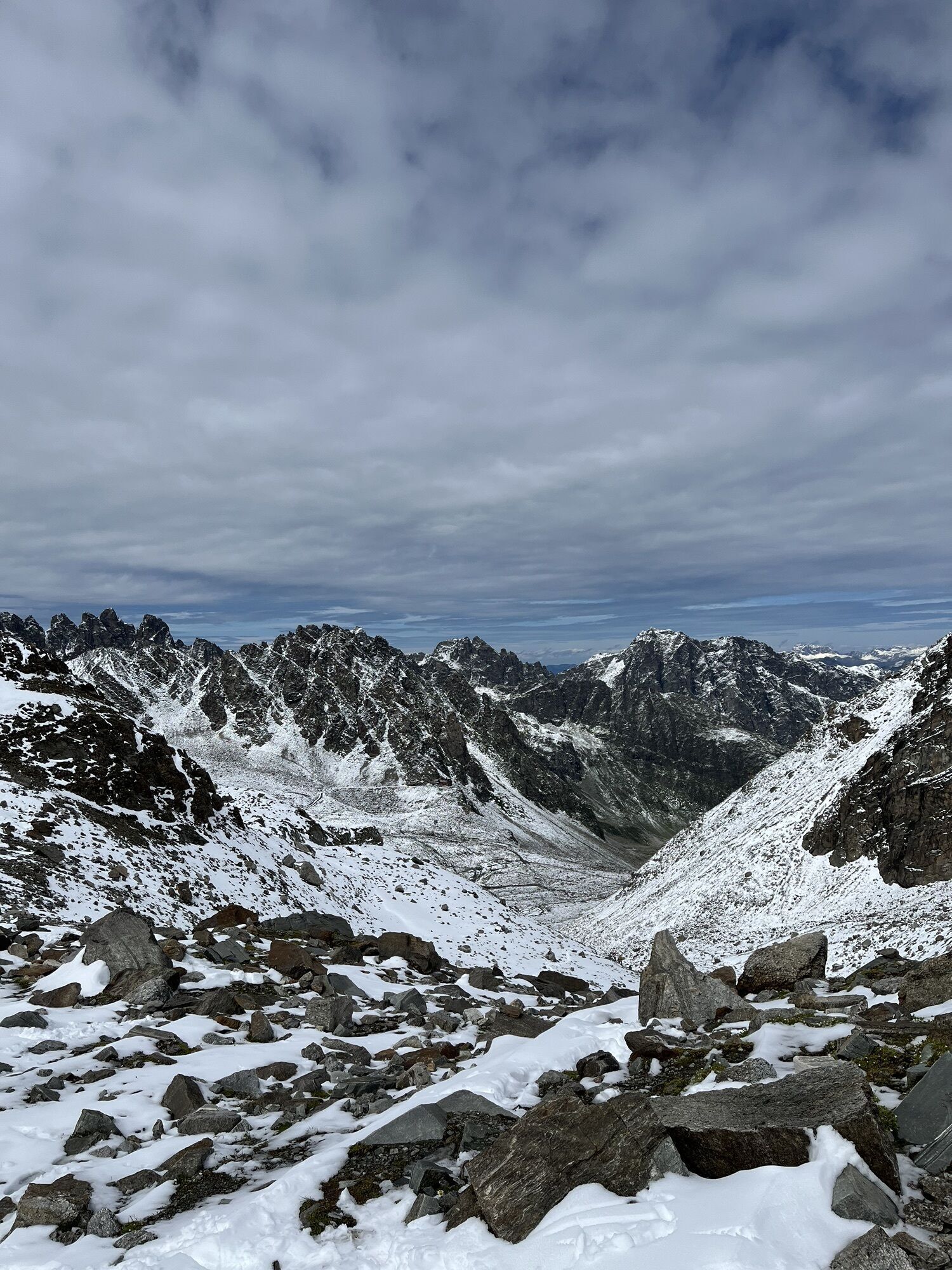
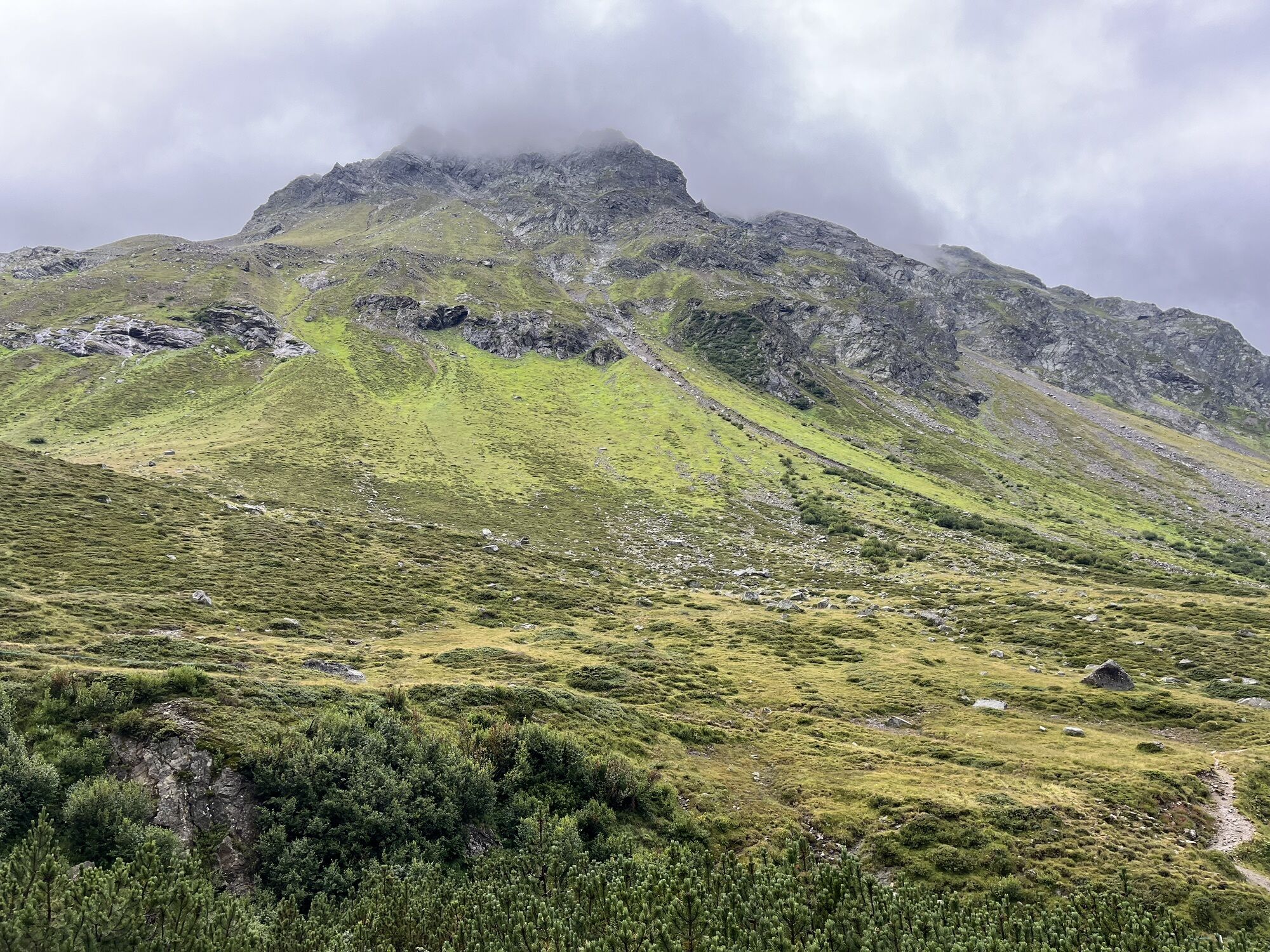
The Silvretta is a cross-border mountain range between the countries Austria and Switzerland. On the Austrian side the border runs between the federal states of Vorarlberg and Tyrol. Most peaks lie at...
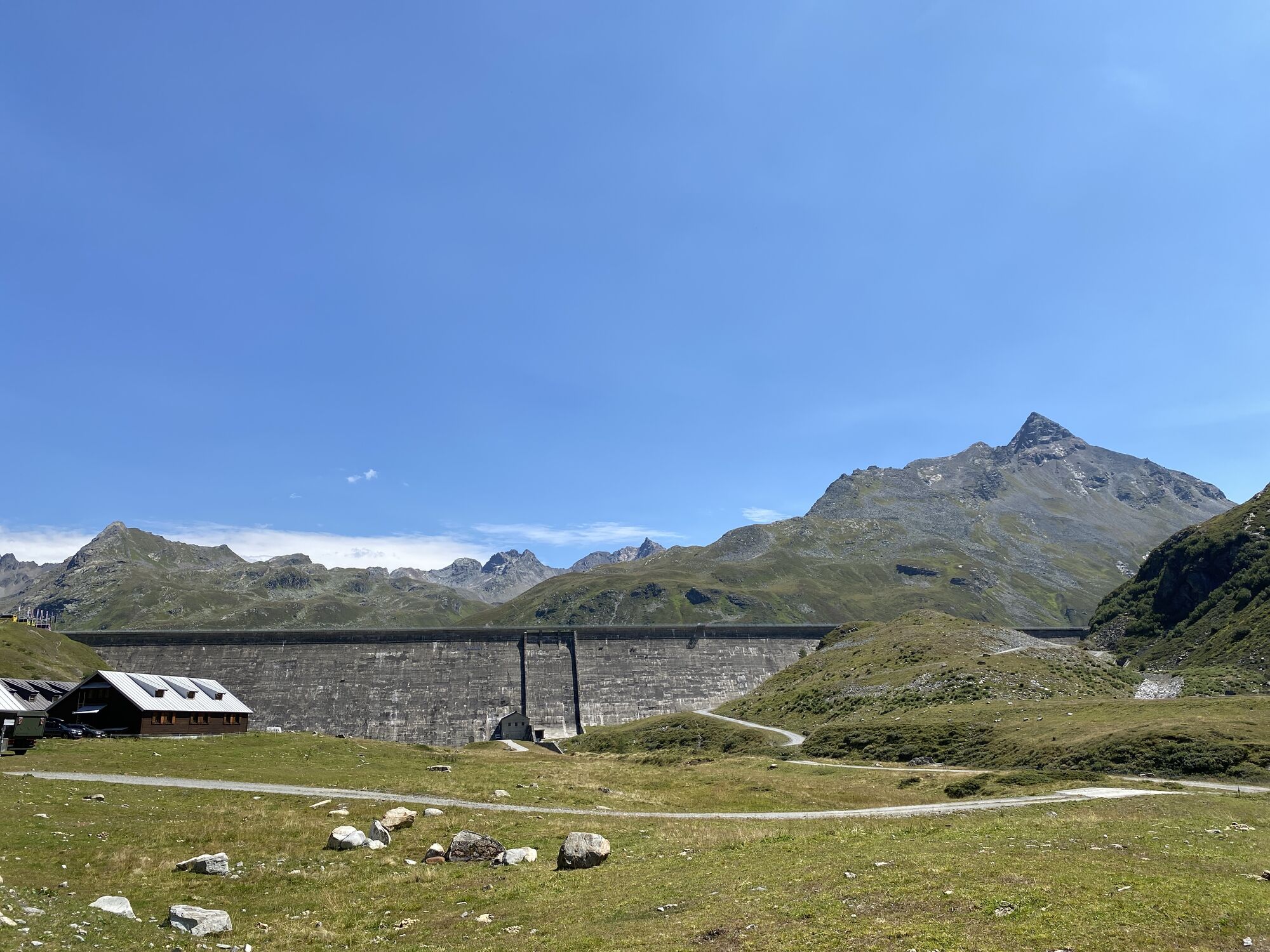
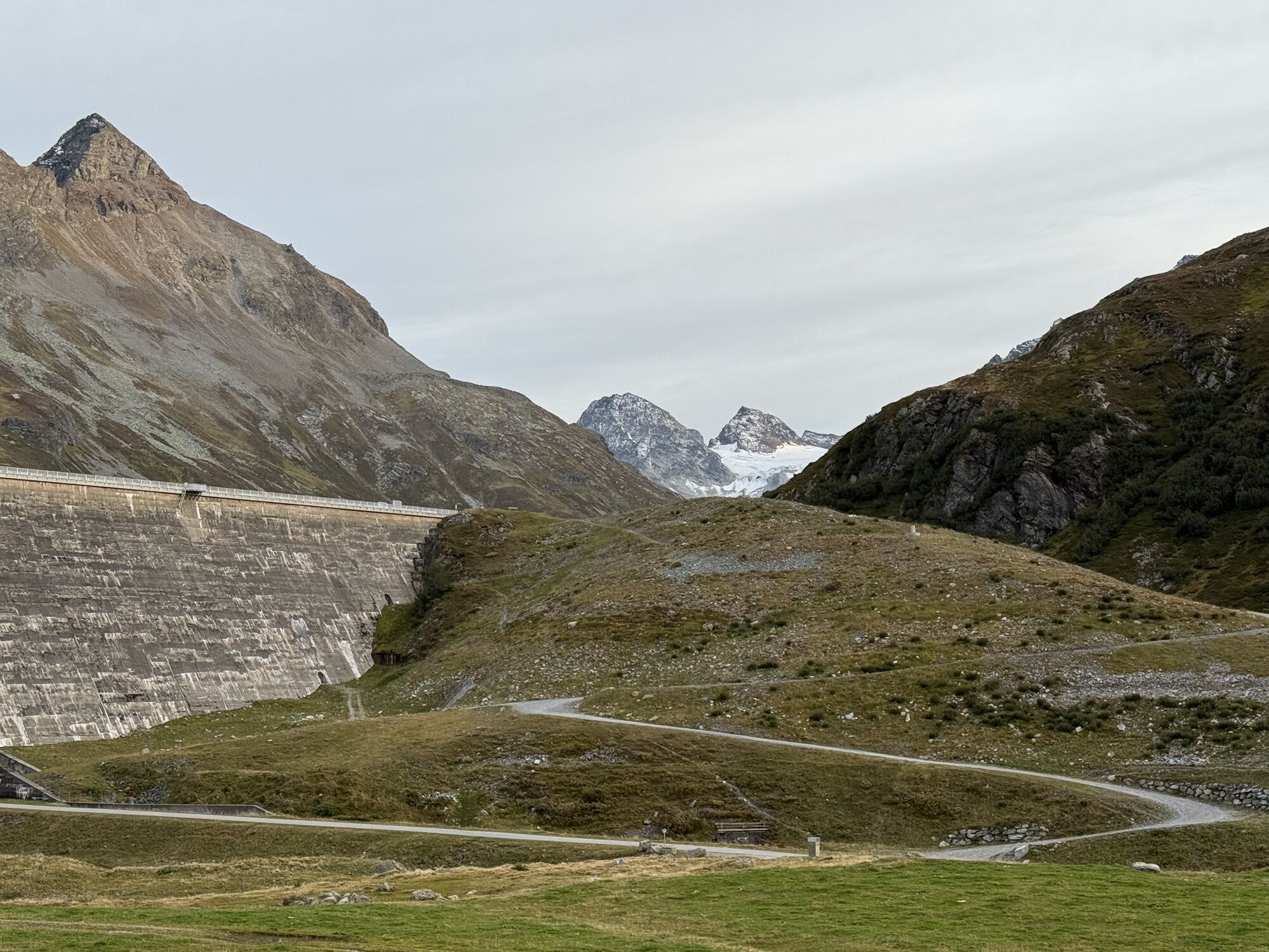
The Silvretta is a cross-border mountain range between the countries Austria and Switzerland. On the Austrian side the border runs between the federal states of Vorarlberg and Tyrol. Most peaks lie at an altitude above 2,500 meters, so you are constantly hiking above the tree line. The best known and highest peak in Vorarlberg is Piz Buin at an altitude of 3,255 m. Between 1925 and 1930 the Illwerke built the Vermunt reservoir and during the 2nd World War the Silvretta reservoir was started. Since 1954 Partenen (Montafon) and the Paznaun valley (Galtür) have been connected by the Silvretta High Alpine Road. This road is about 25 km long. However, this connection is closed from November to May.
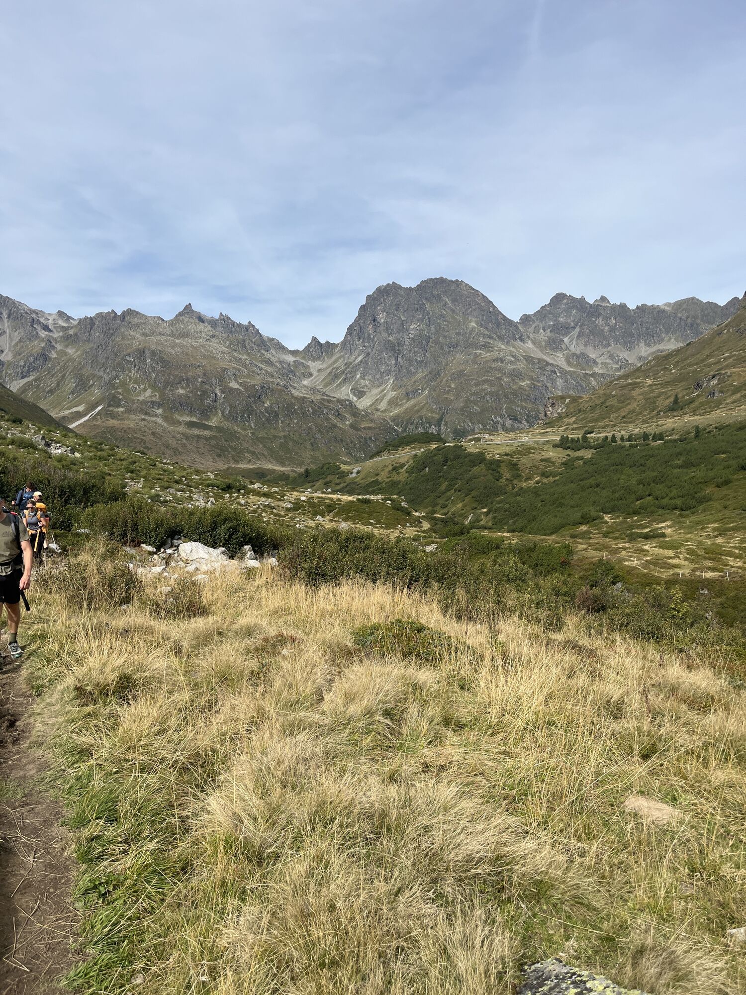
This mountain route focuses on experiencing glaciers and their traces upon retreat. On the ascent, we walk through a typical, impressive and seemingly untouched high valley with small moors, blocks of crystalline rock, and side branches of the main stream with clear water.

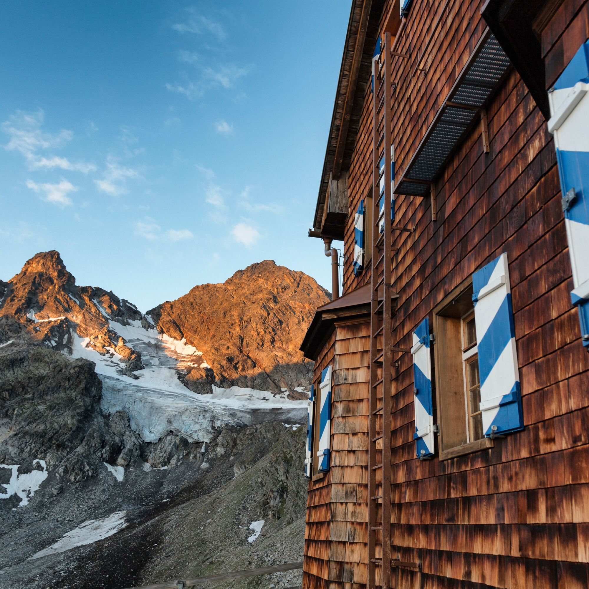
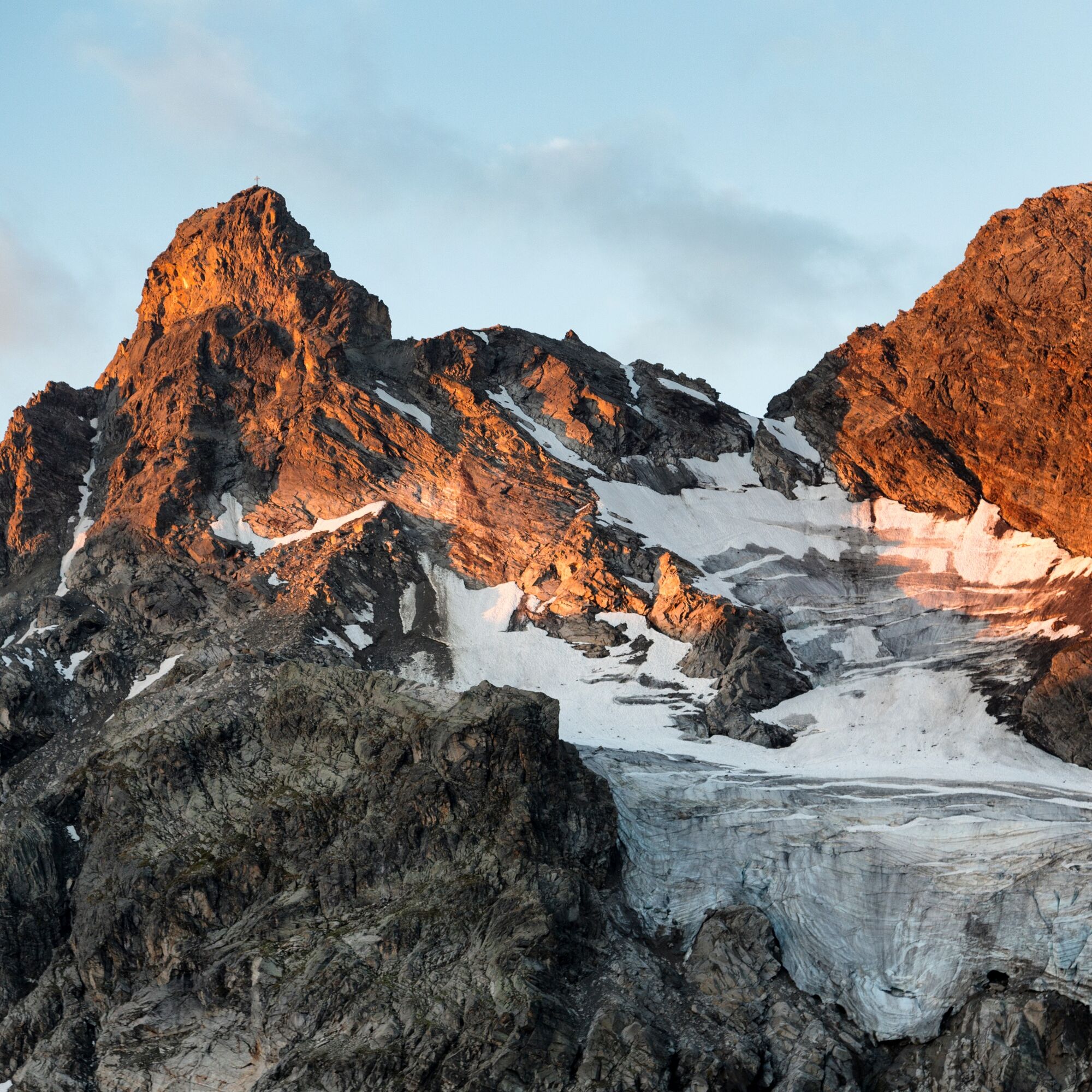
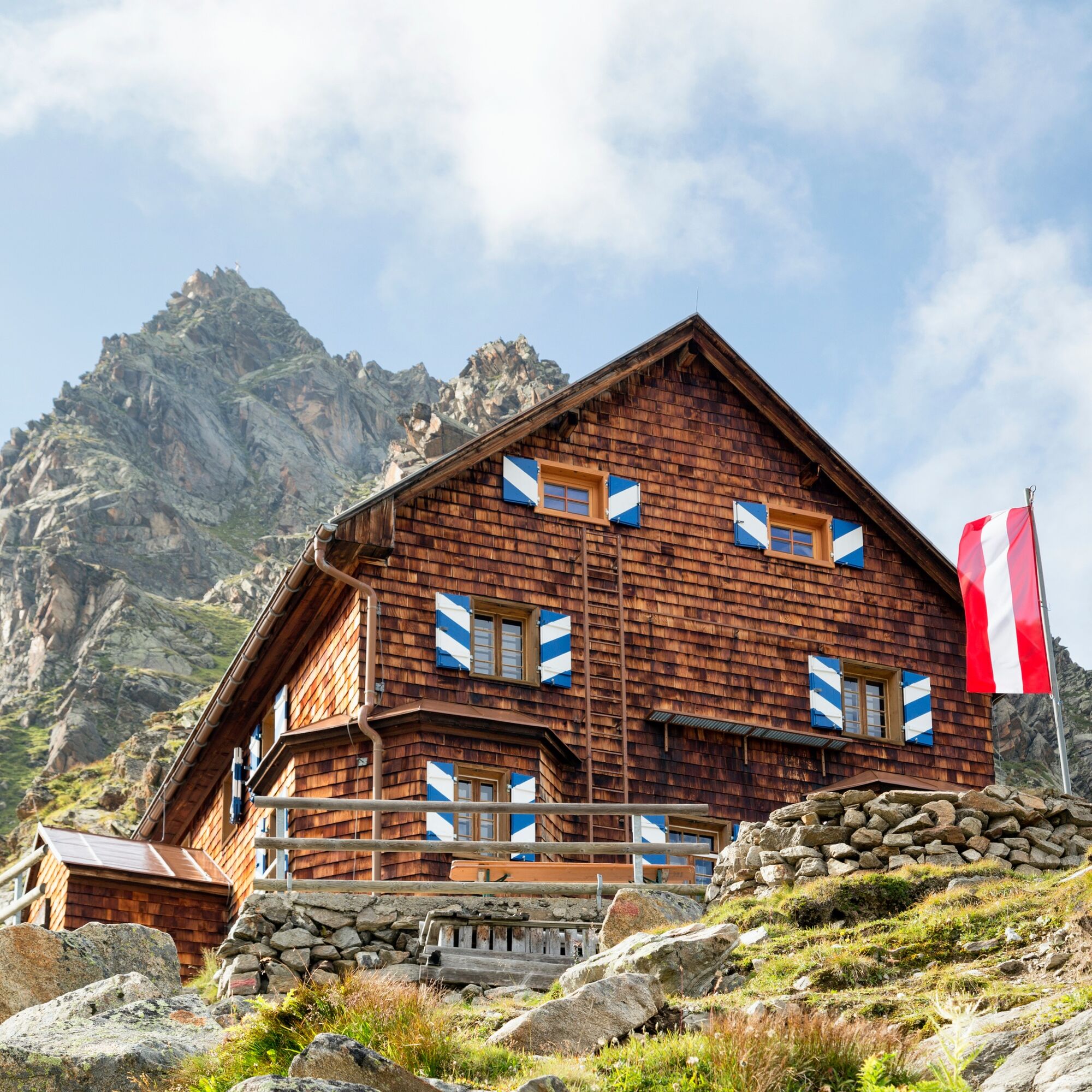
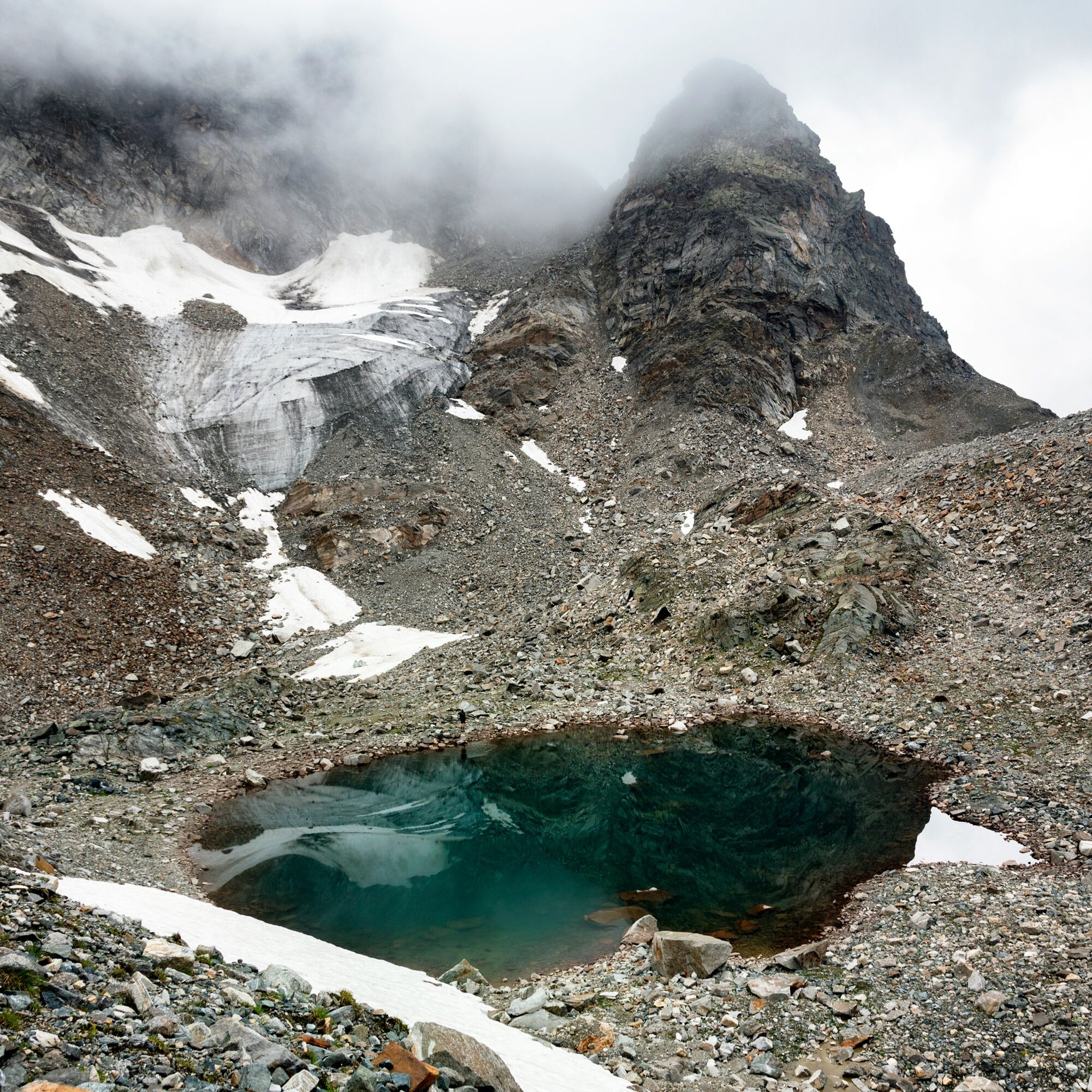
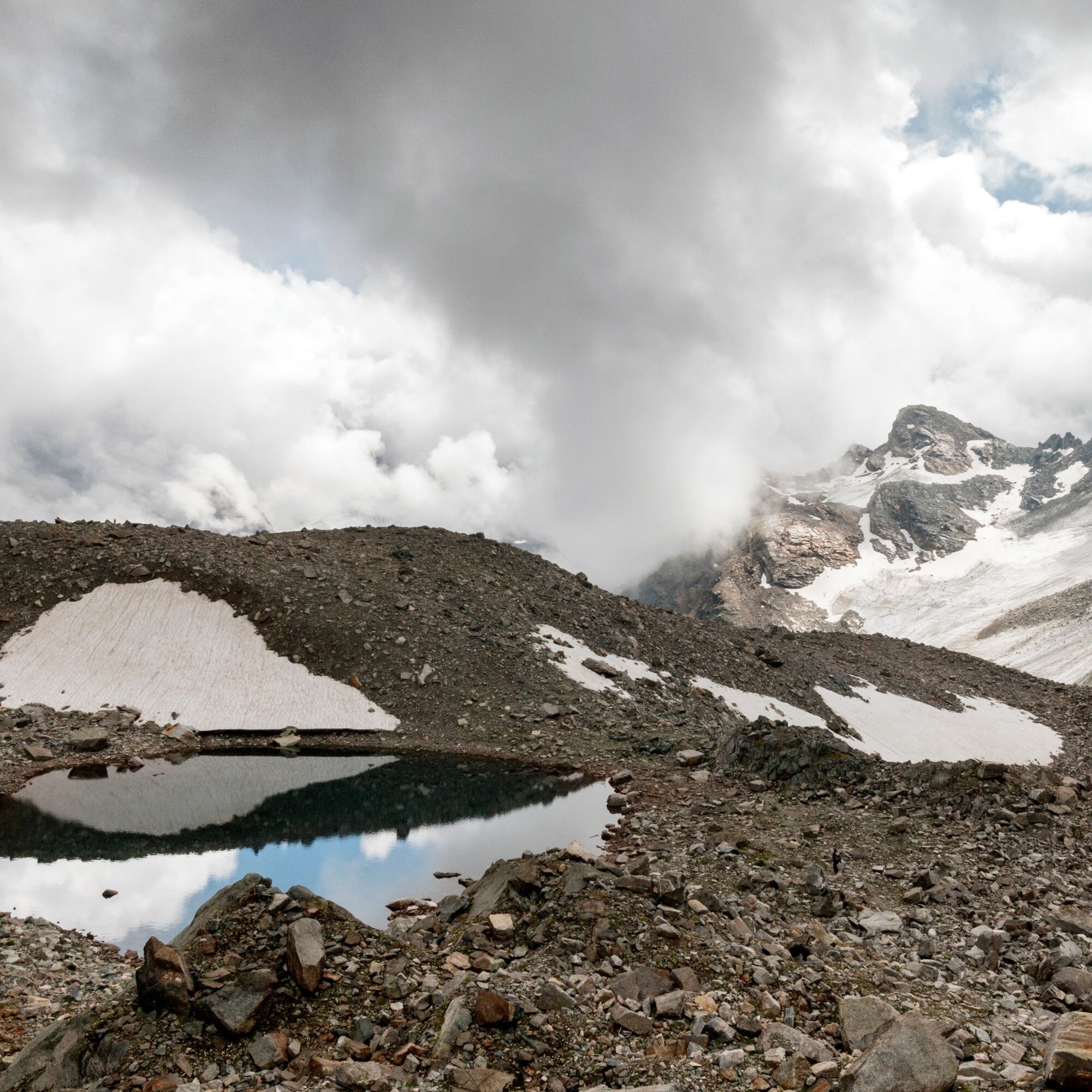
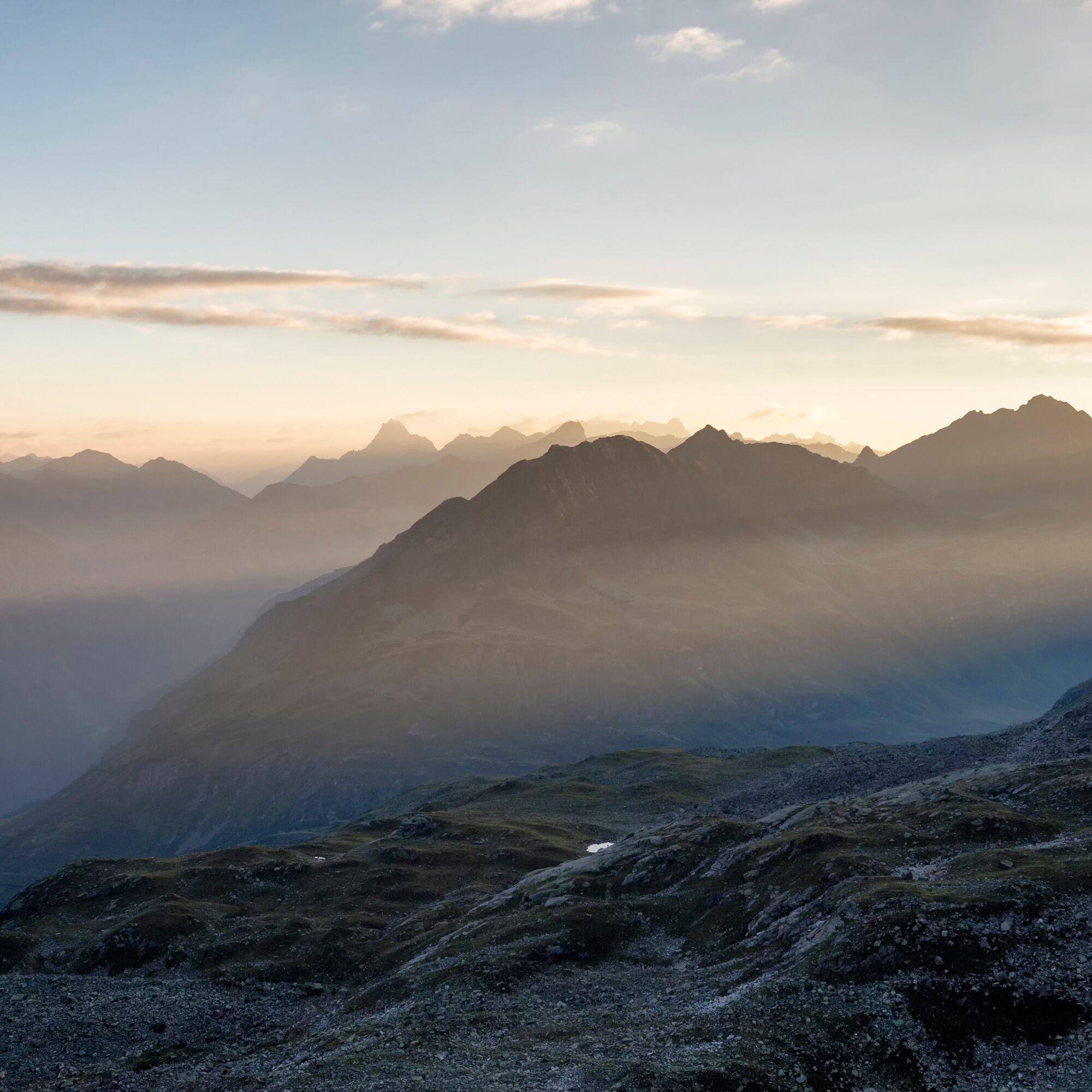
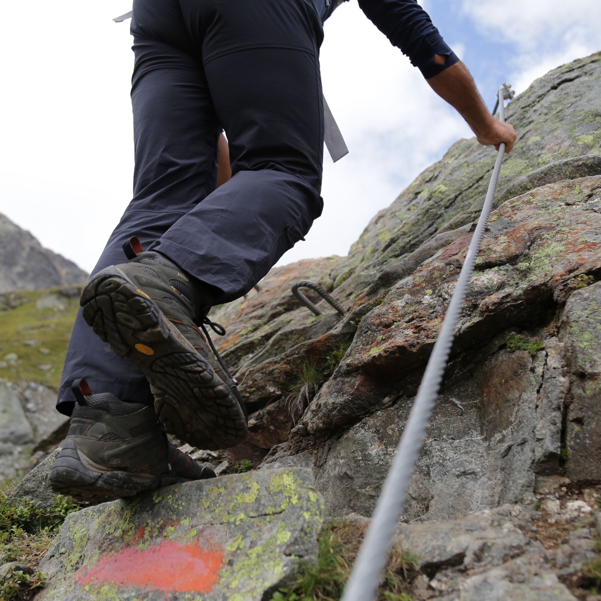
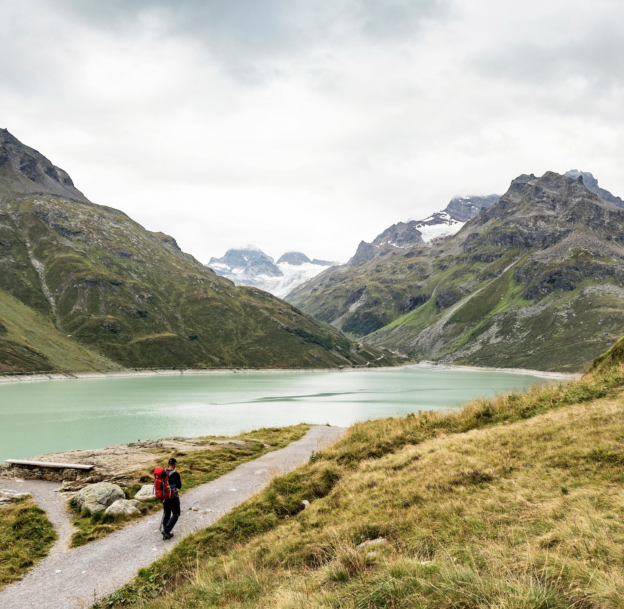

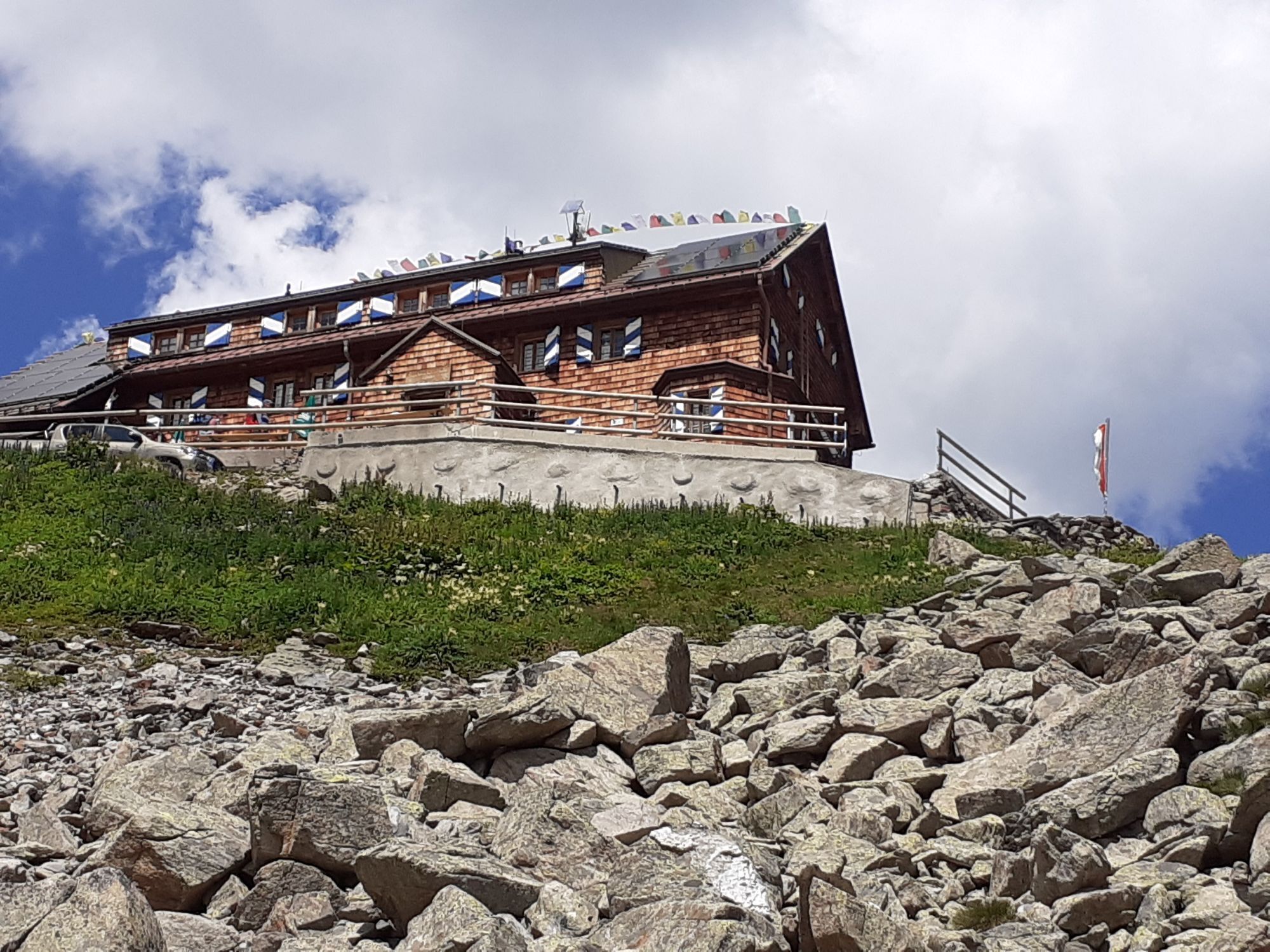
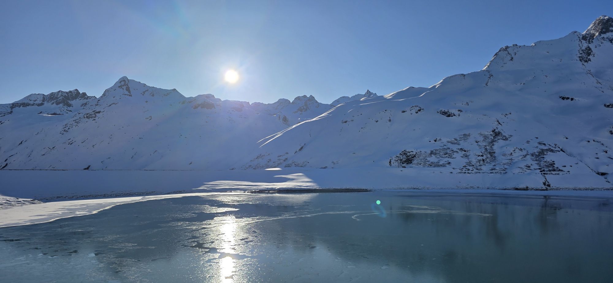
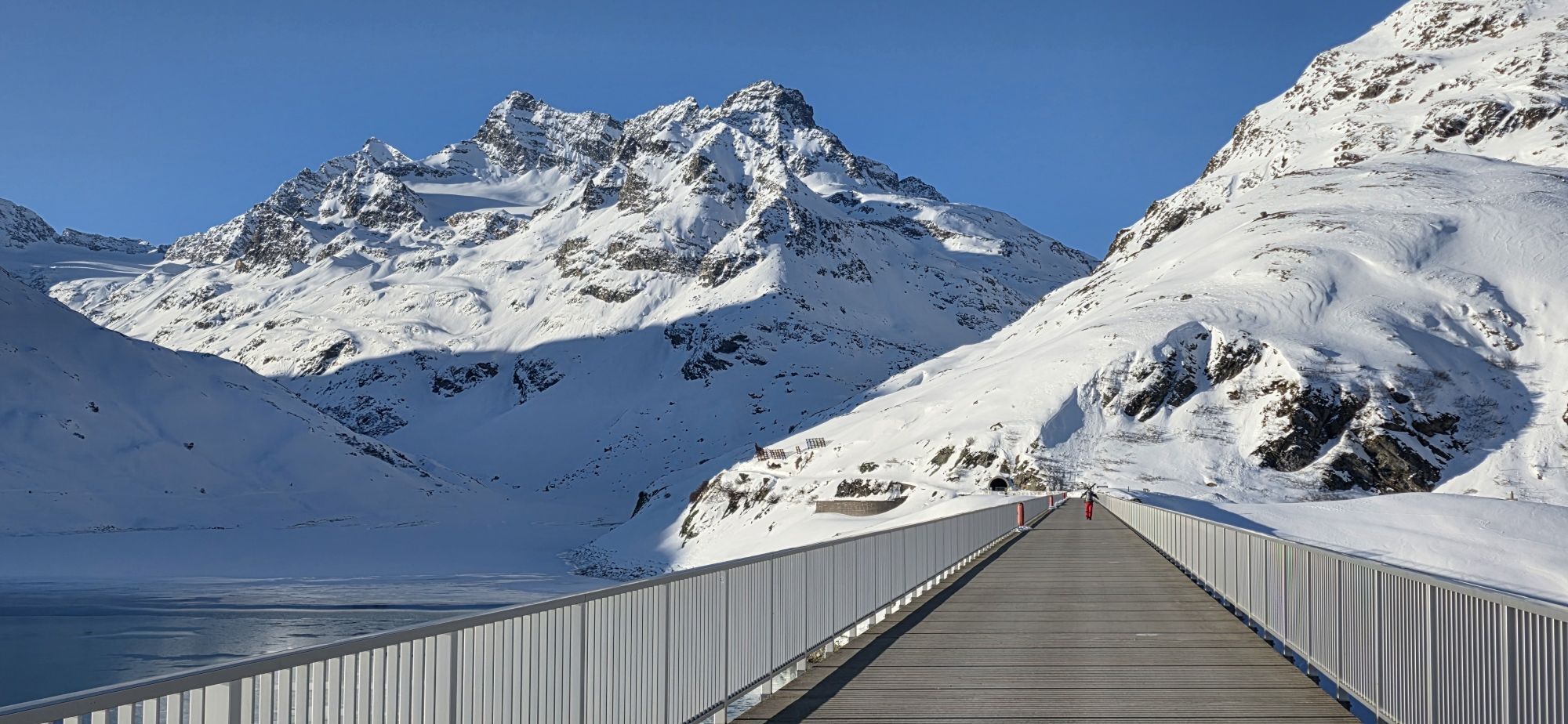
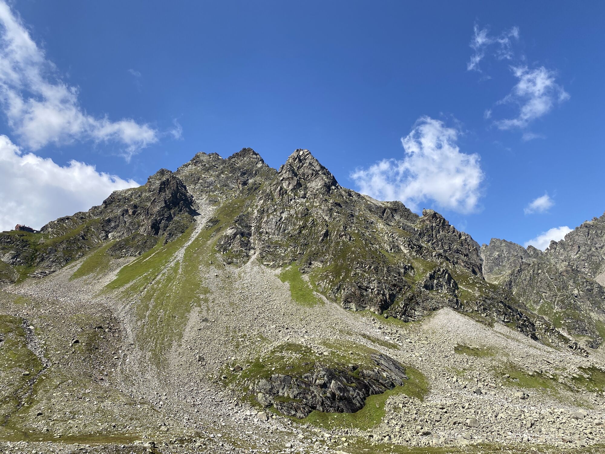
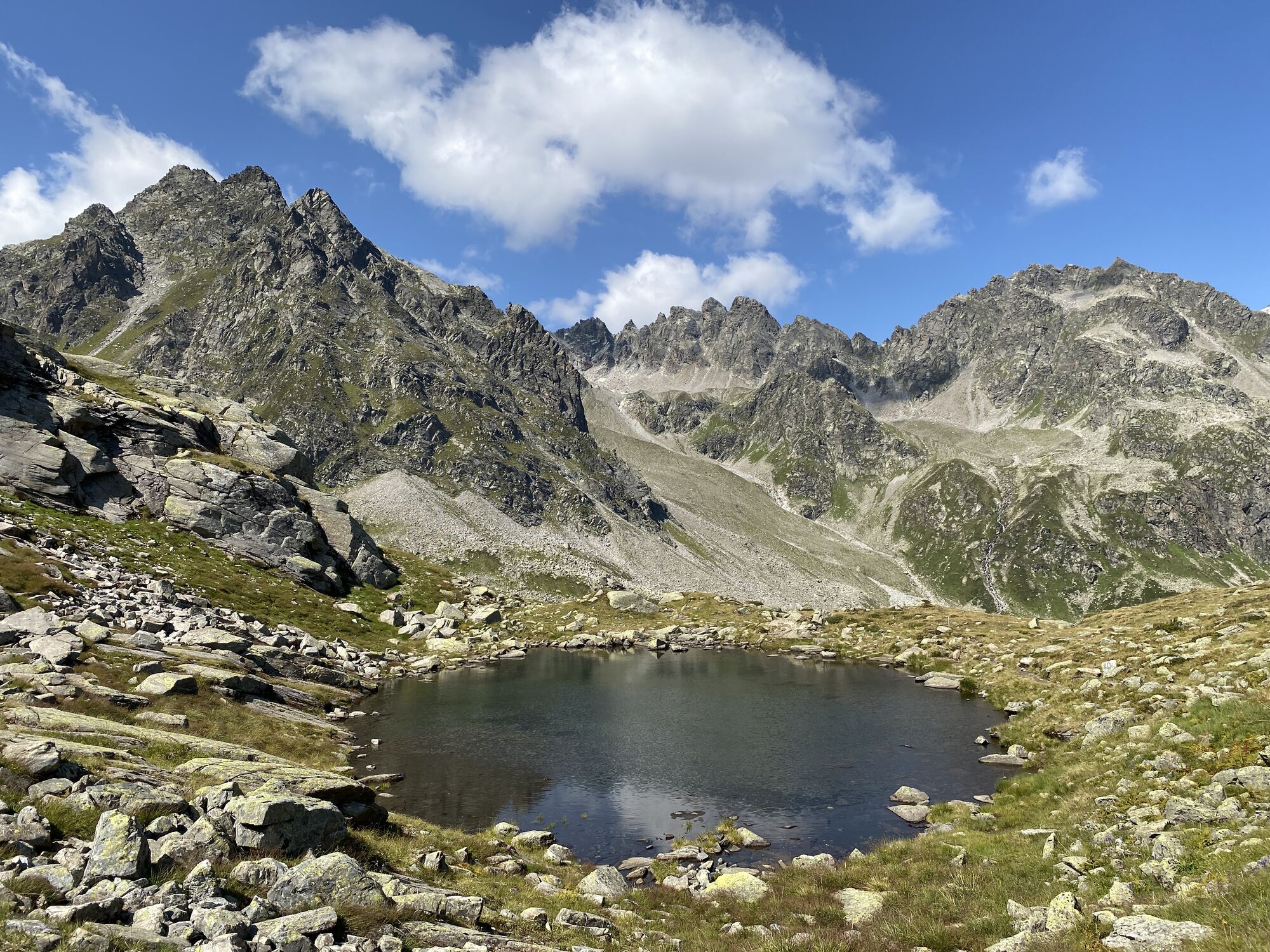
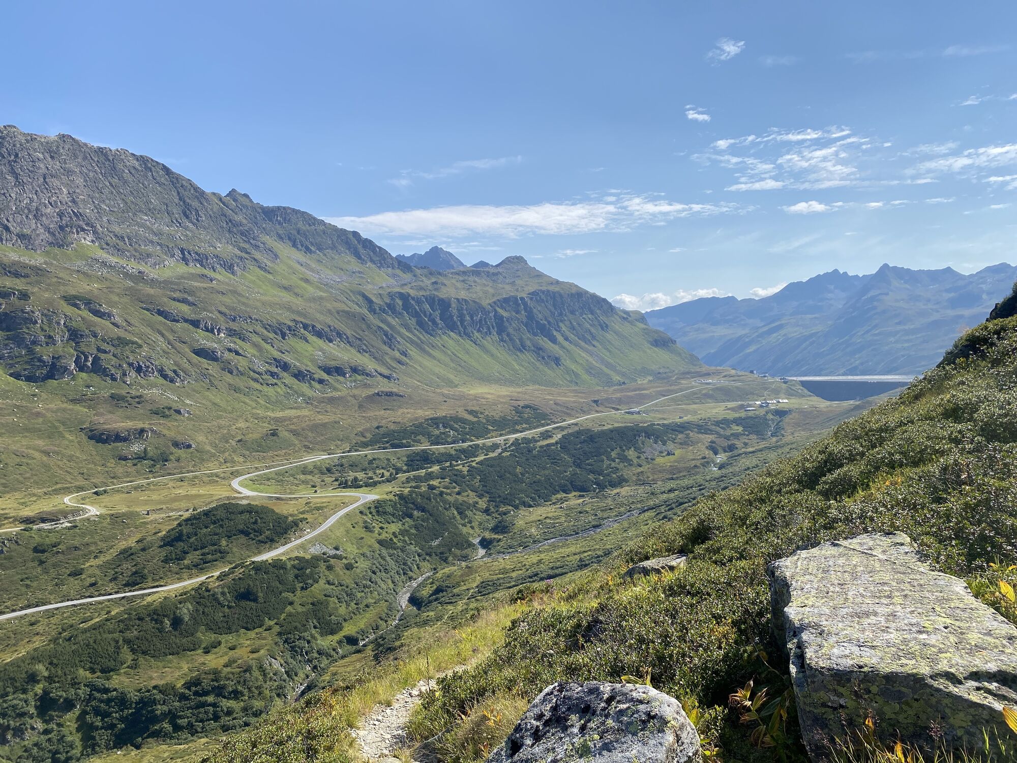
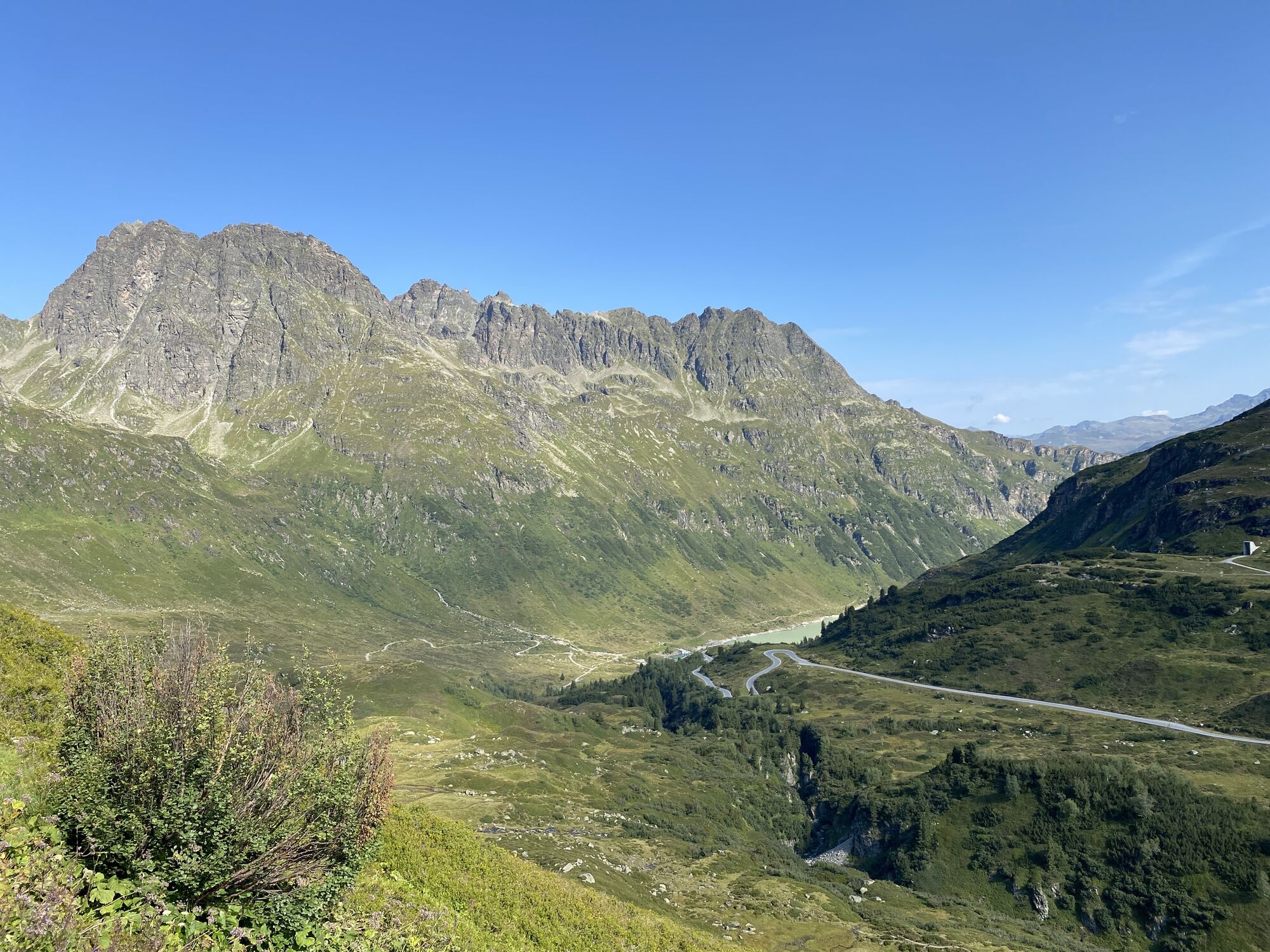
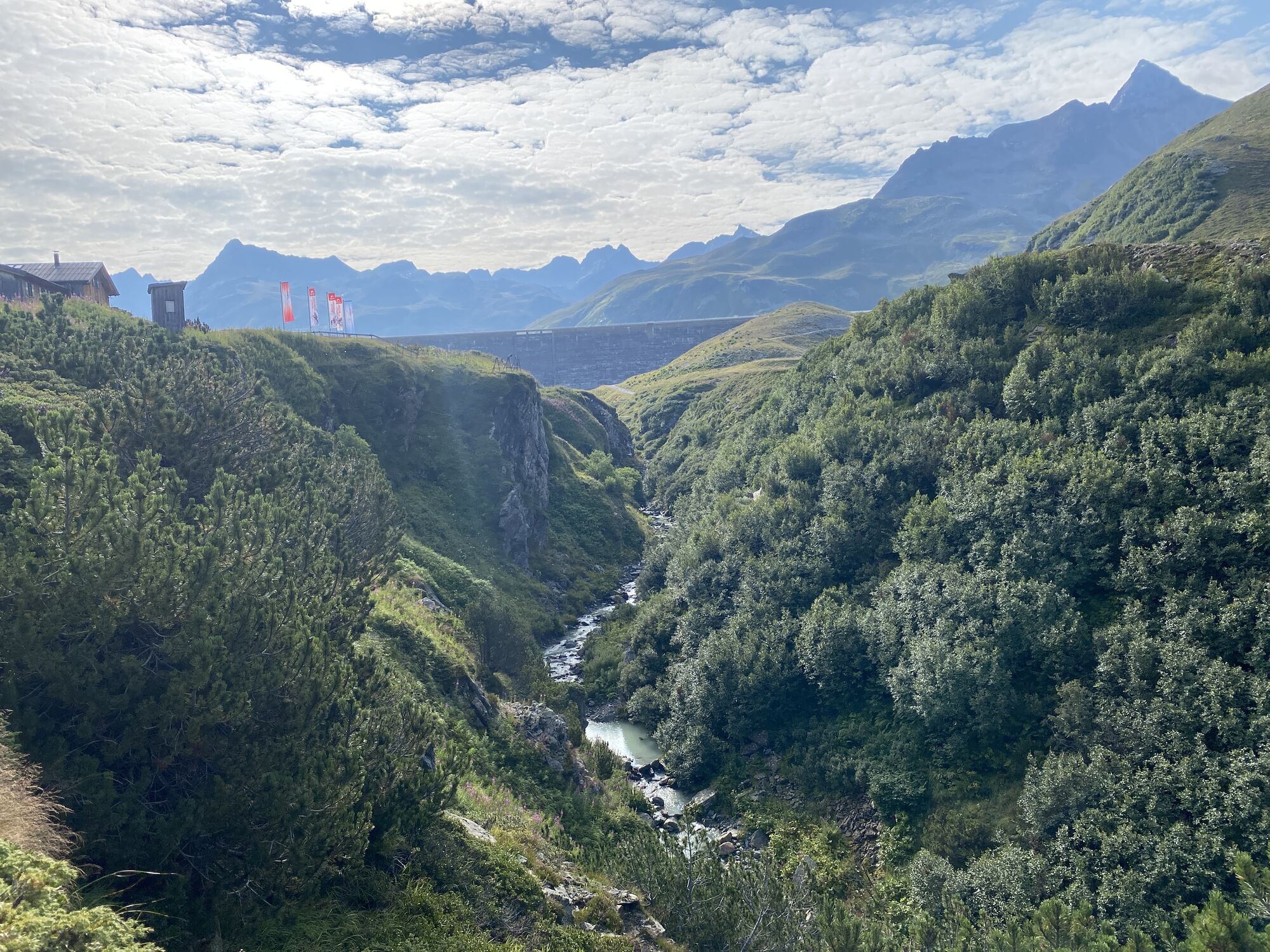
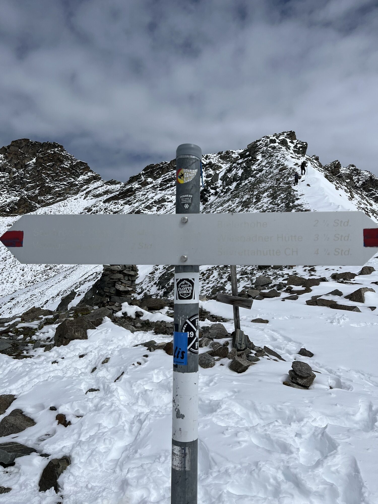
The impressive mountain route starts at Silvrettasee on Silvretta-Bielerhöhe and follows along the right lakeshore. Along the Klostertal brook it continues through the Klostertal valley up to the height of the Klostertaler Hut (self-catering). There you turn right and hike towards Verhupftäli. Now you have to pass a short cable-protected section and then go up a somewhat steeper grassy slope. From there you follow the hiking trail to the Litznersattel. On the way you pass smaller glacier lakes. Once you reach Litznersattel, you have reached the highest point of the mountain route. The next target is the Saarbrücker Hut. To get there you go over the scree fields below the retreating glaciers. On the ridge you go steadily up and down through scree, rocks, and pasture areas. You will then reach the Saarbrücker Hut. You deserve a break. Afterwards you descend via the Tschifernella and then return to the starting point.
Sturdy mountain boots with good tread sole, poles recommended
EMERGENCY CALL: 144
European emergency number: 112
www.vorarlberg.travel/sicherheitstipps
Note: Most mobile contracts do NOT include data roaming for Switzerland, so high costs may incur.
wind protection required
Take the A14 to the Bludenz/Montafon exit and continue on the Montafonerstraße L188 to Partenen at the toll station for the Silvretta High Alpine Road. Via the Silvretta High Alpine Road you then reach the Vermuntsee and continue to Silvrettasee. (Toll required)
Just leave your car standing
The regional buses operate throughout Montafon. The main lines run every half hour from Schruns station.
Bus stop at the start/finish of the route: Bielerhöhe Silvrettasee / Line 650
Timetable: www.vmobil.at
Travel by train to Montafon
From Bludenz station the Montafonerbahn runs hourly (partly every half hour). There are also direct connections from Lindau (D) and from Bregenz.
Timetable: www.oebb.at
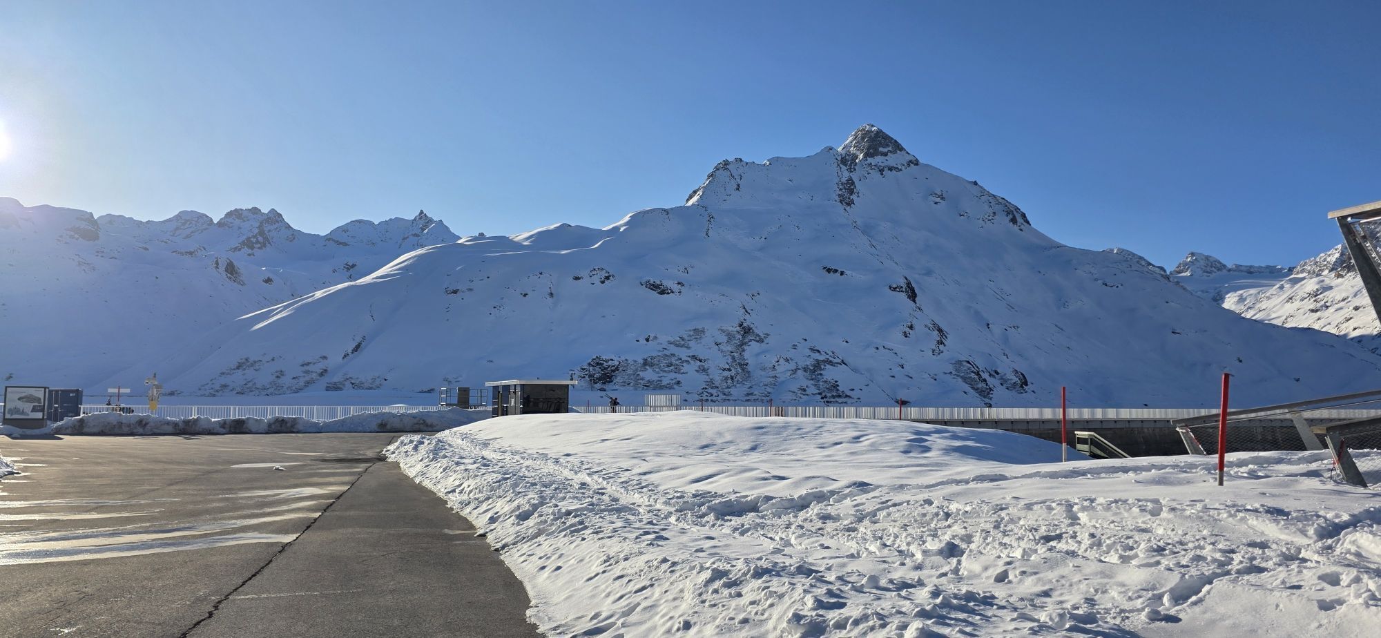
Parking spaces are located at Silvrettasee.
 Uzyskaj wgląd
Zawsze na żywo z ponad 9 500 kamer internetowych. bergfex Jako użytkownik Pro, możesz teraz zobaczyć odpowiednie kamery internetowe dla wielu wycieczek w aplikacji wycieczki od. Pozwala to na bezpośredni podgląd aktualnych warunków.
Uzyskaj wgląd
Zawsze na żywo z ponad 9 500 kamer internetowych. bergfex Jako użytkownik Pro, możesz teraz zobaczyć odpowiednie kamery internetowe dla wielu wycieczek w aplikacji wycieczki od. Pozwala to na bezpośredni podgląd aktualnych warunków.
Popularne wycieczki w okolicy
-
4,9
Hiking trail Piz Buin - view
średniWędrówka 14,4 km -
4,5
Madrisella summit path
średniTrasa tematyczna 10,8 km -
4,8
Heilbronner lodge
średniWędrówka 13,0 km -
5,0
Menta Alm - Scheibenalm
światłoWędrówka 11,4 km -
2,8
Bielerhöhe and circular hike around the Silvretta reservoir
średniWędrówka 13,1 km -
4,6
Sonnenkogel - Friedrichshafener lodge
średniWędrówka 13,2 km -
5,0
Wiegensee-Kopssee
średniWędrówka 8,17 km -
4,7
Jamtal lodge
średniWędrówka 19,6 km -
5,0
Großer Piz Buin (3.312m), Normalweg 2019 über Ochsentaler Gletscher
ciężkiWycieczka wysokogórska 24,1 km -
4,4
Vom Kopssee zur Breitspitze Gemeinde Gaschurn, Vorarlberg/Österreich
średniWędrówka 12,5 km
Wędrówki i tropienie


Nie przegap ofert i inspiracji na następne wakacje
Twój adres e-mail została dodana do listy mailingowej.





