






Ski tour Piz Buin (3,312 m)
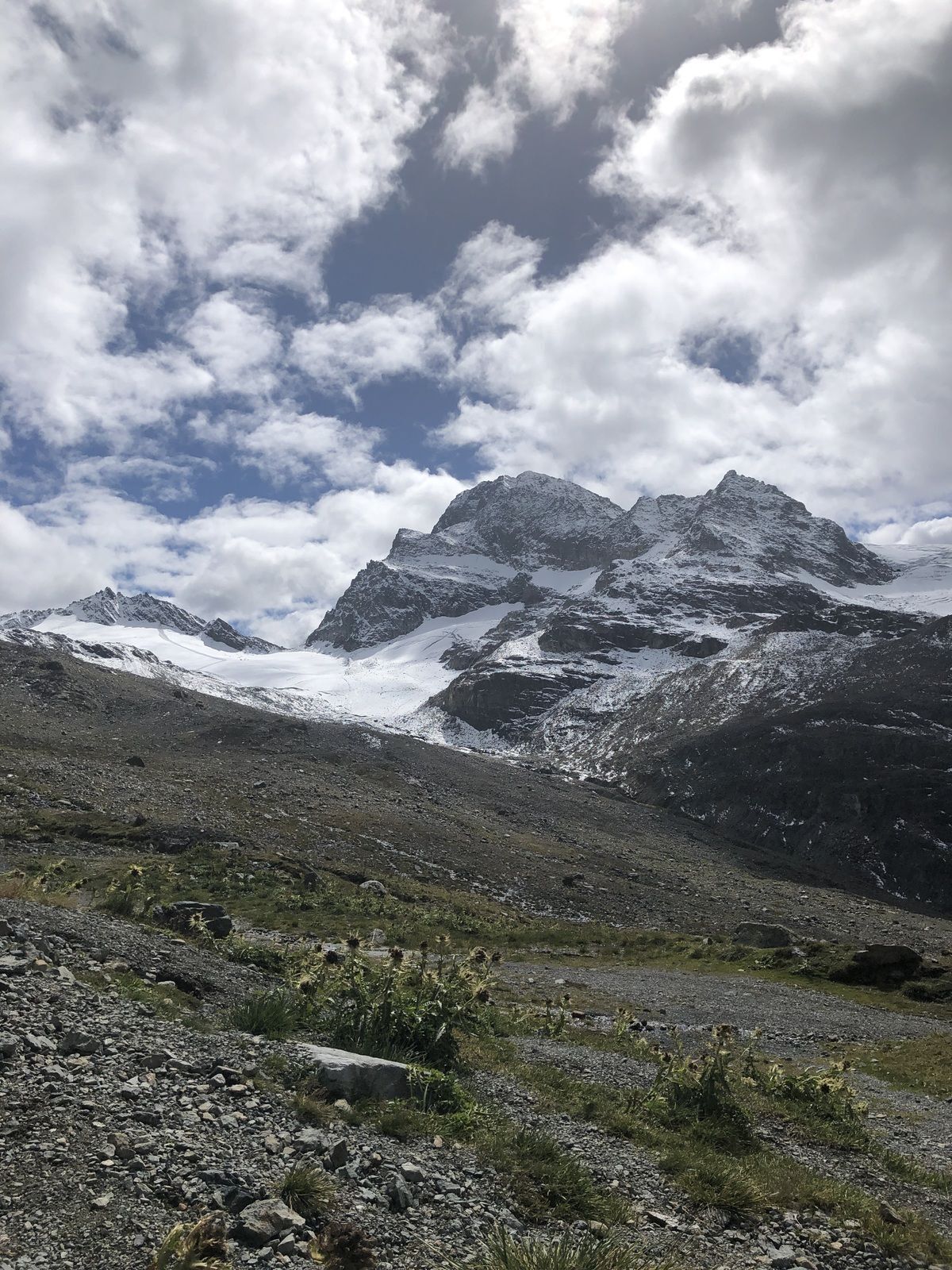
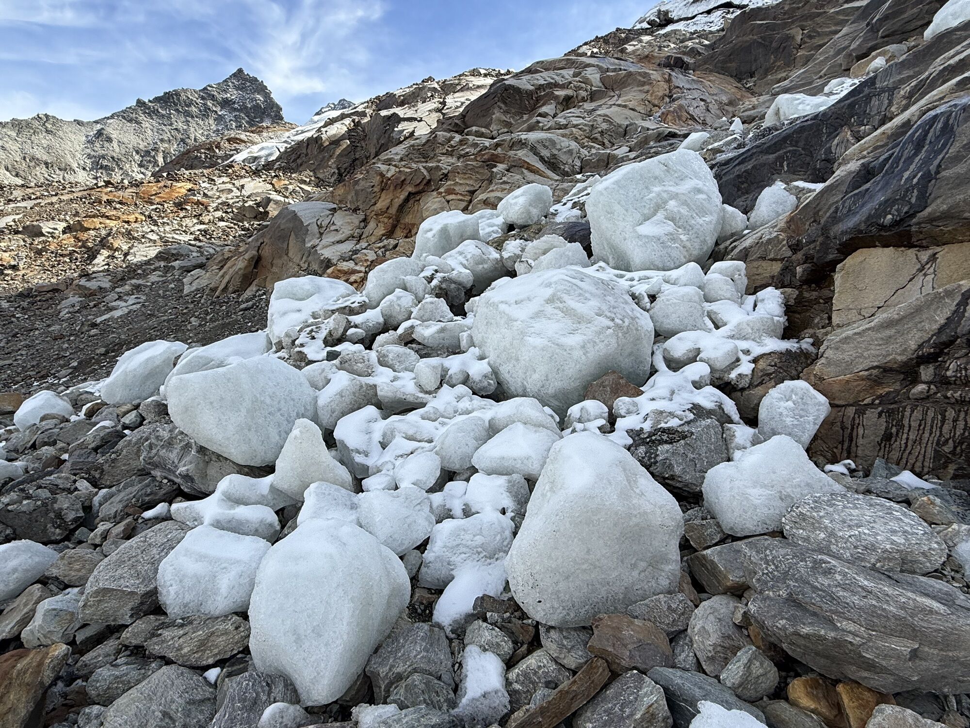
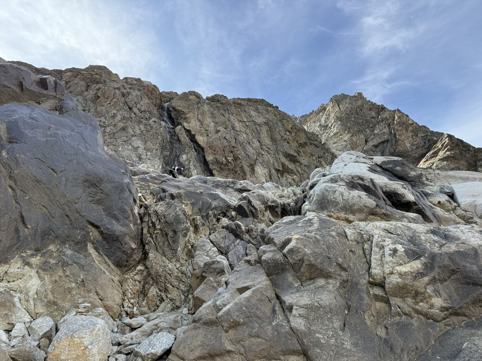
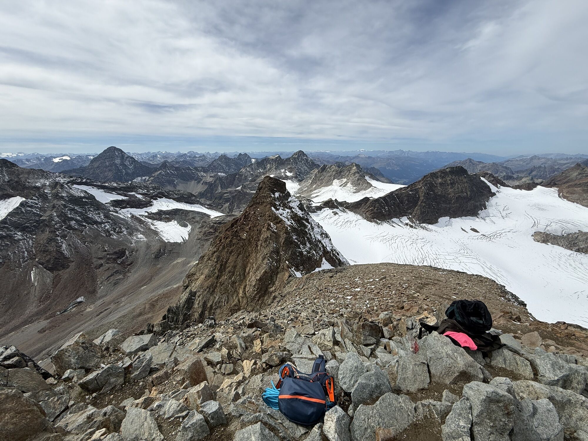
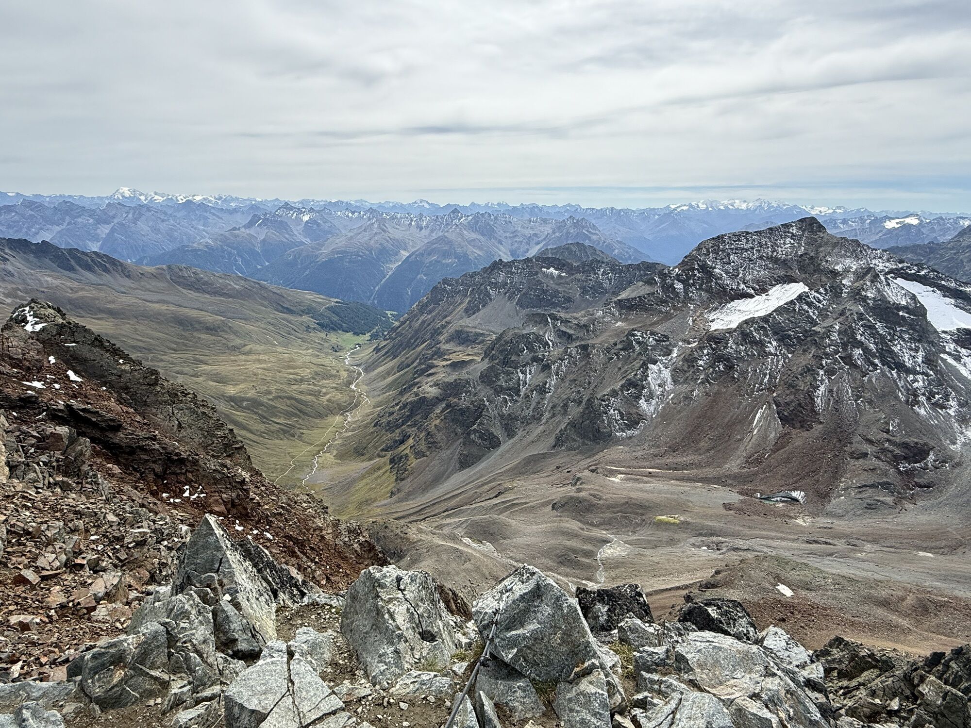
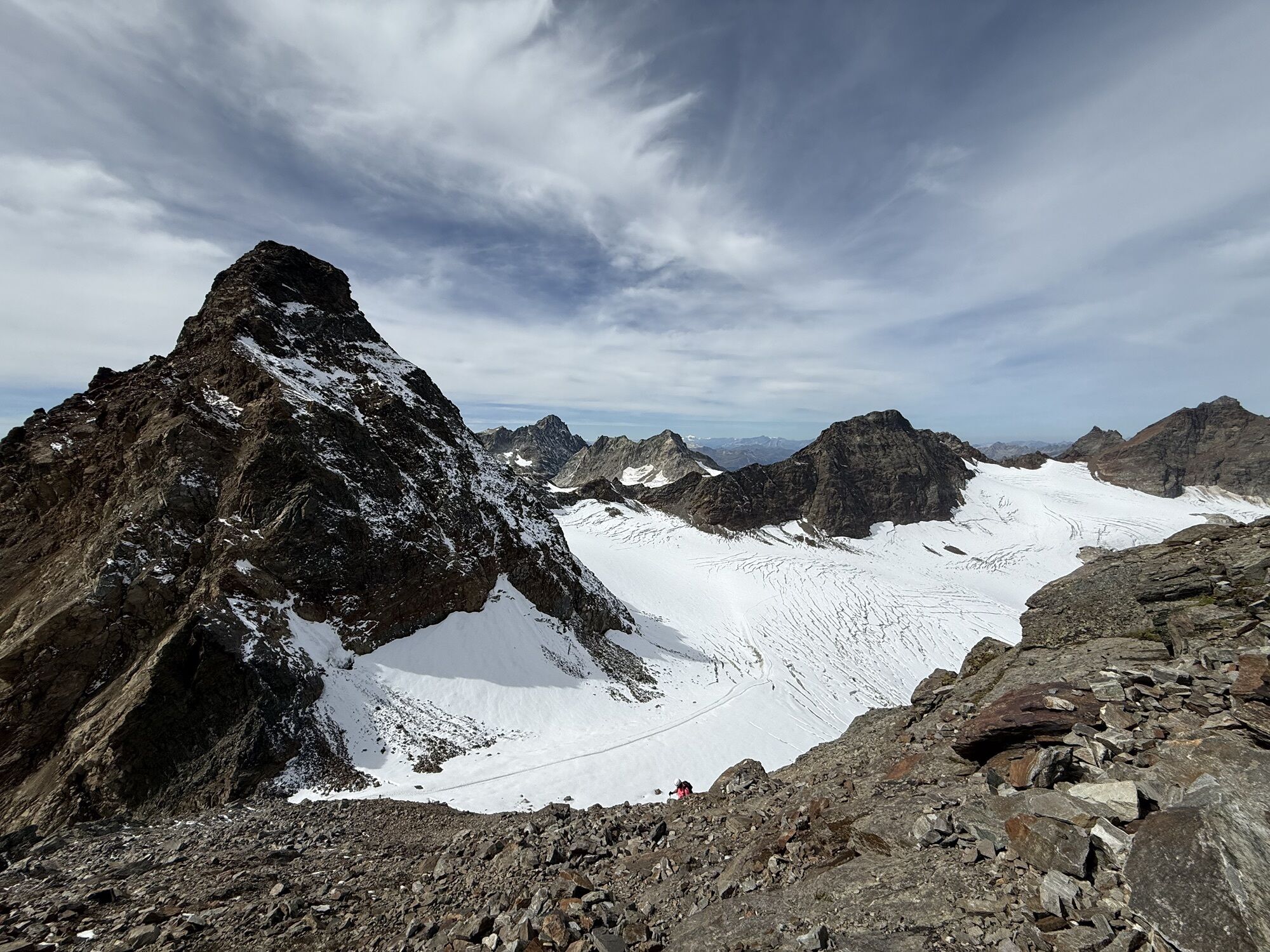
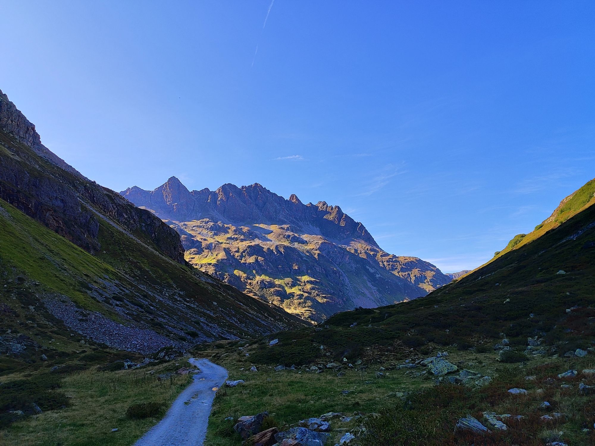
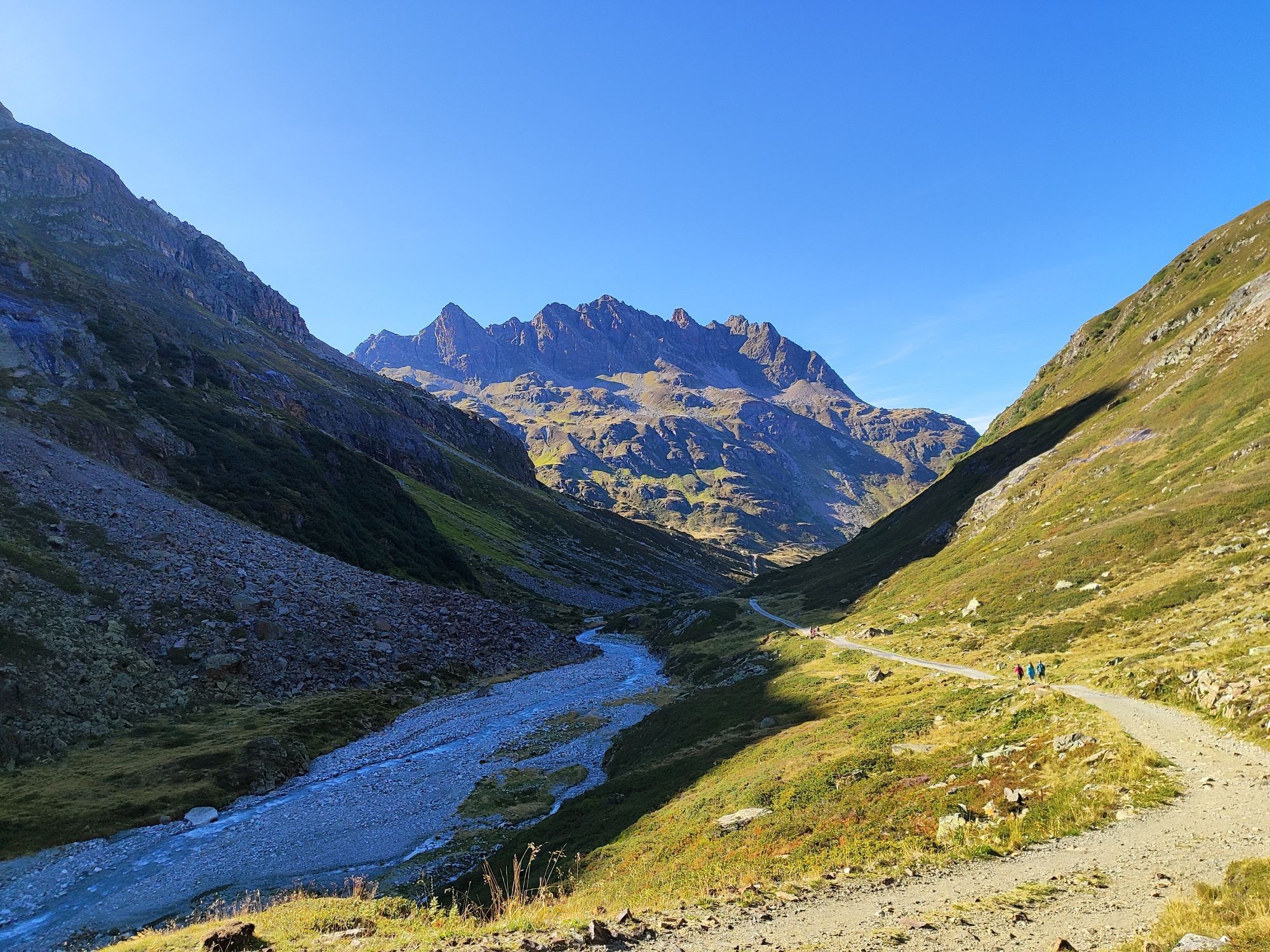
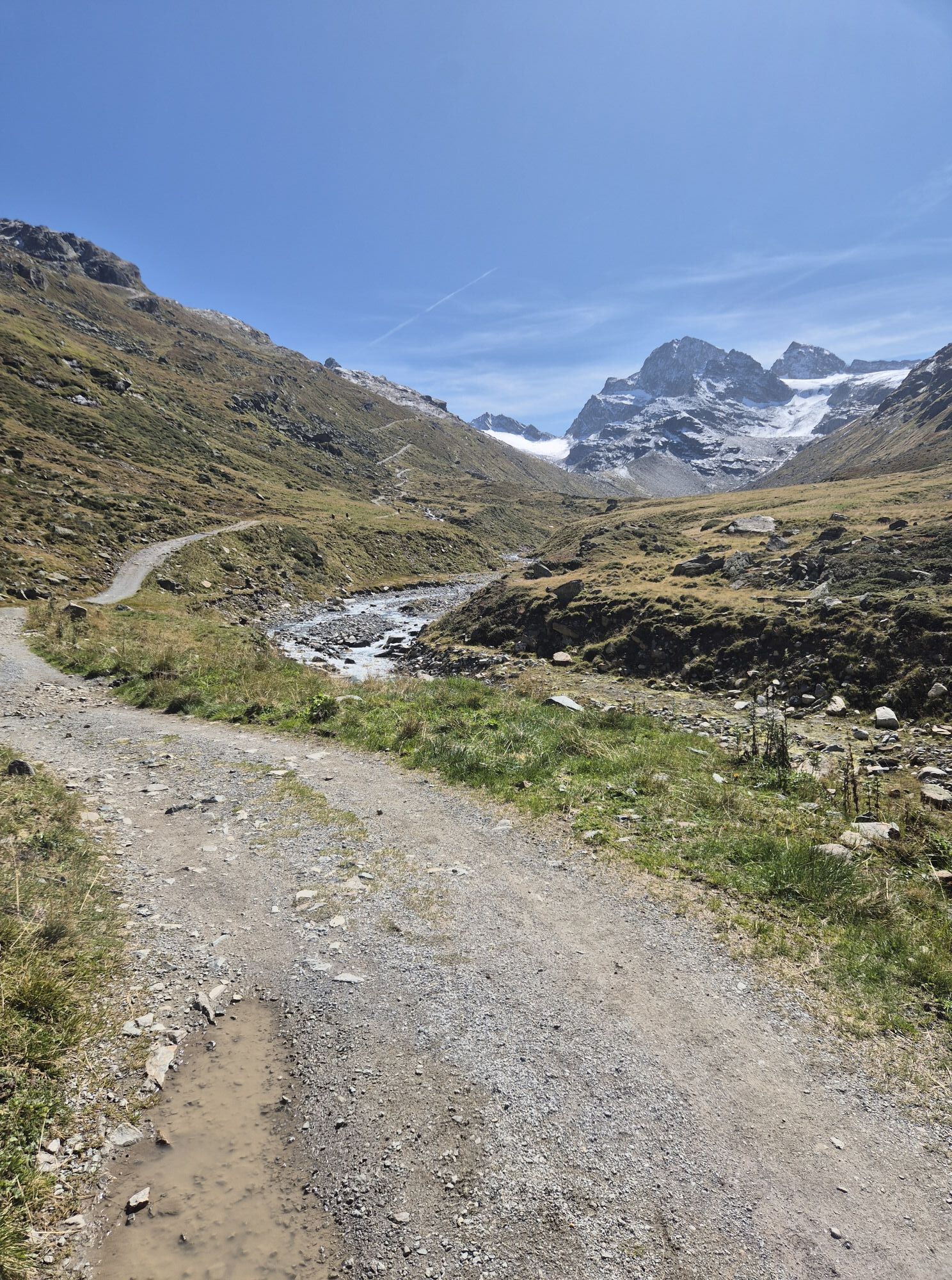
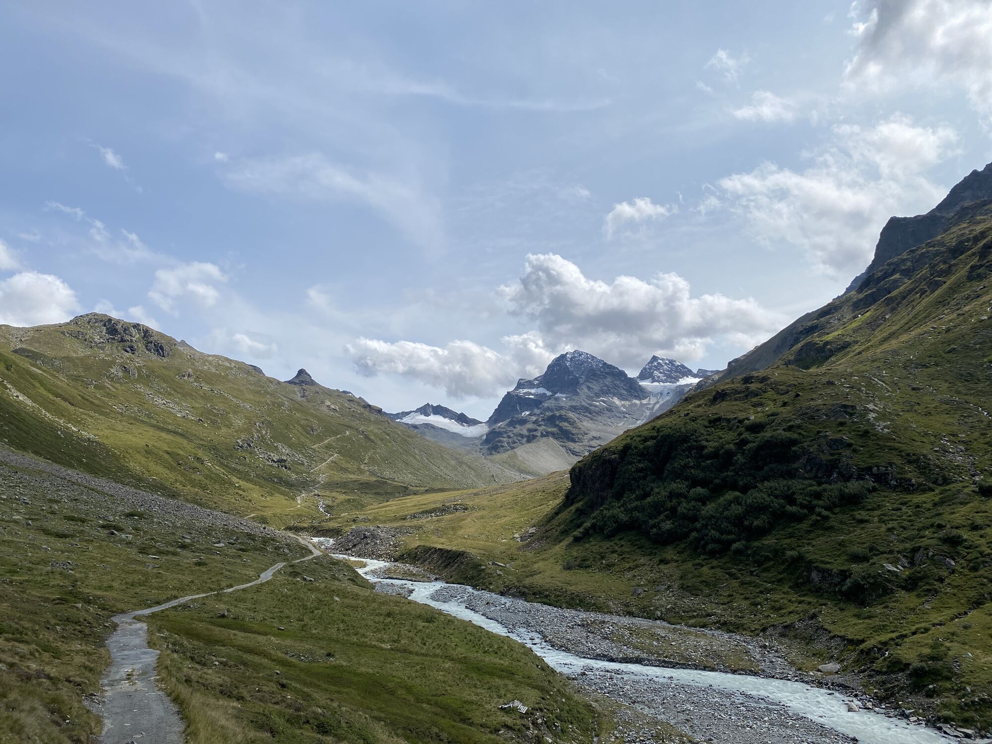
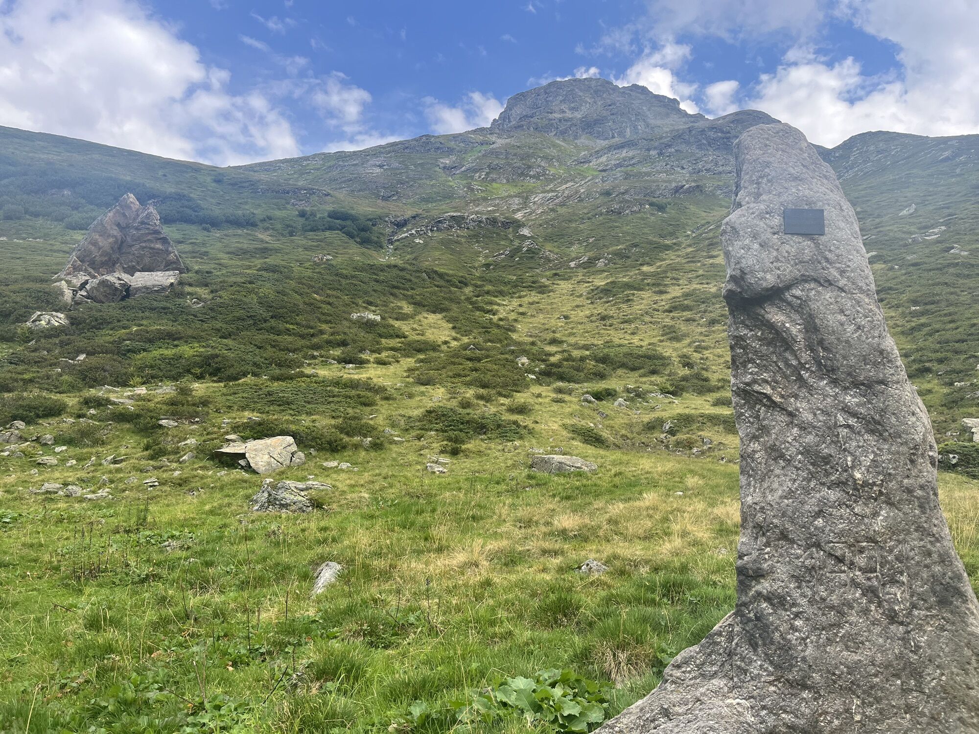
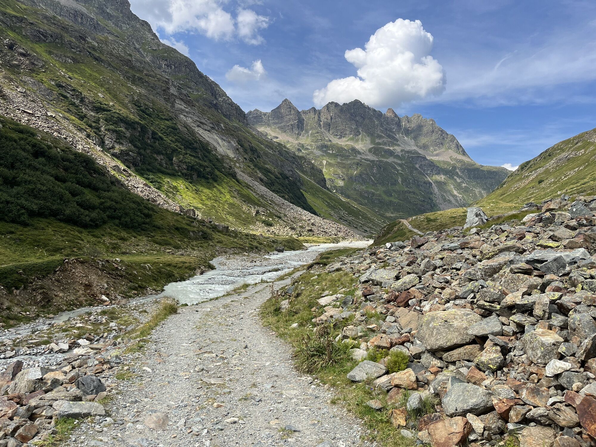
Piz Buin at 3,312 m is the highest mountain in Vorarlberg and lies south of Montafon. A fantastic long-distance view opens up at the summit. Many well-known peaks can be seen, from Wildspitze over Ortler...
Piz Buin at 3,312 m is the highest mountain in Vorarlberg and lies south of Montafon. A fantastic long-distance view opens up at the summit. Many well-known peaks can be seen, from Wildspitze over Ortler to Bernina. The effort to ascend is rewarded with a gigantic view.

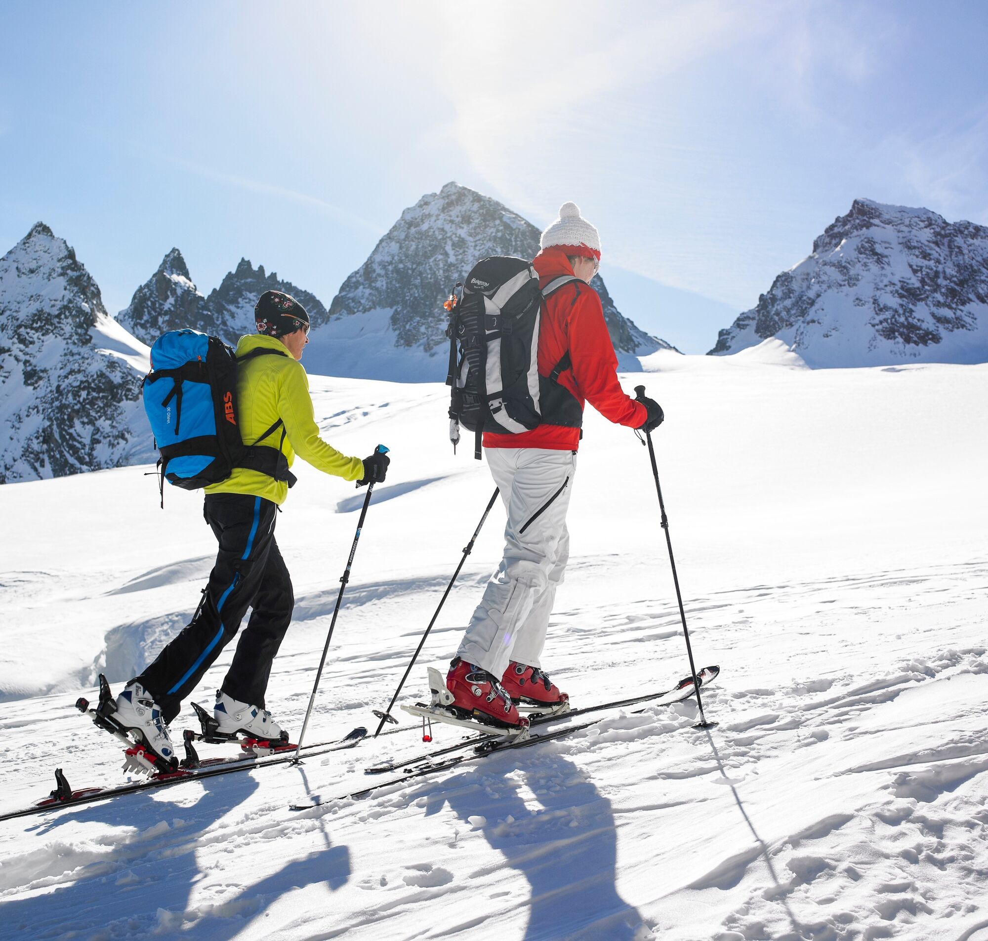
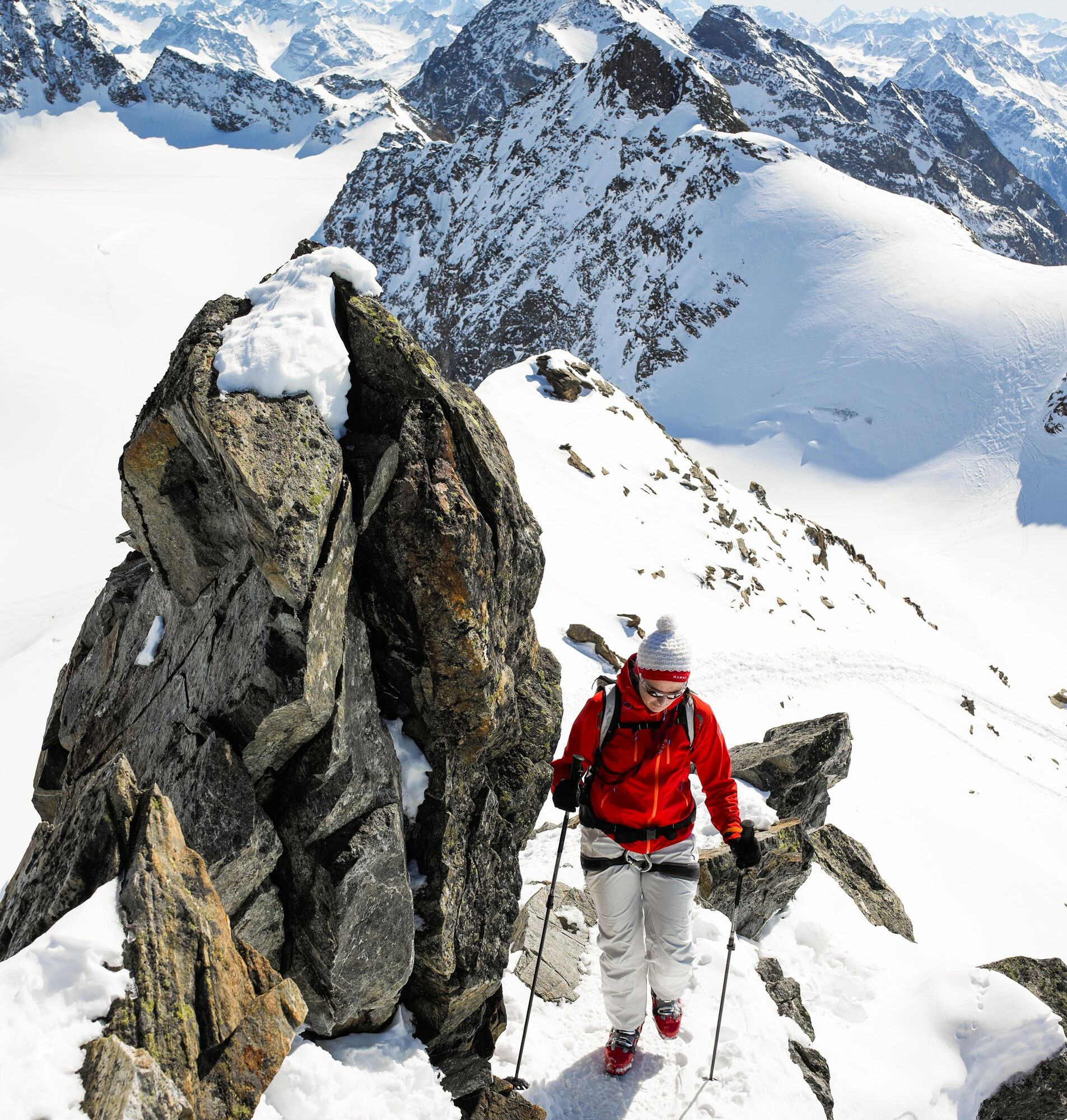
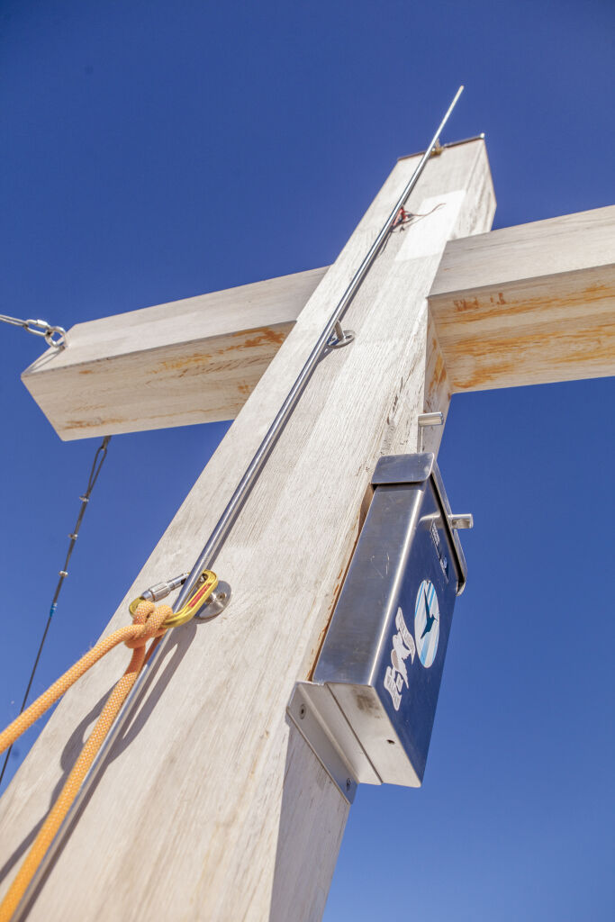
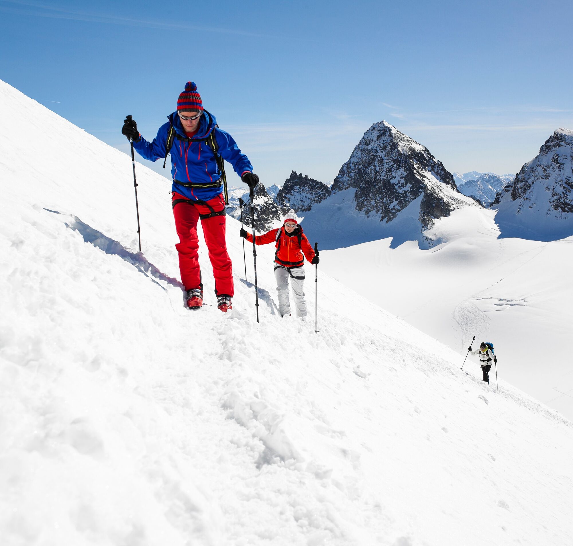
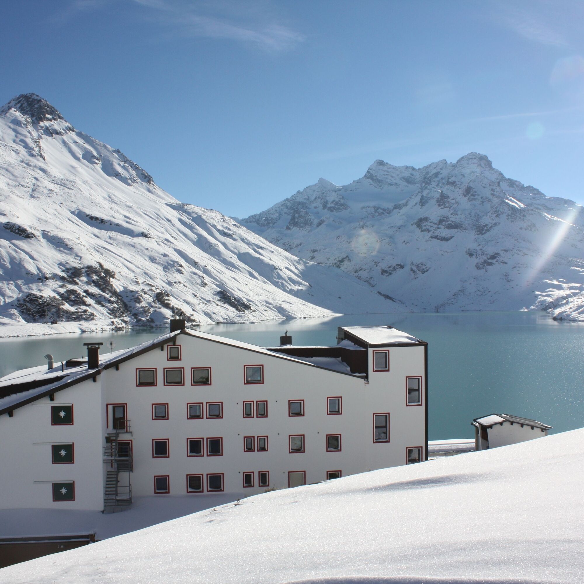
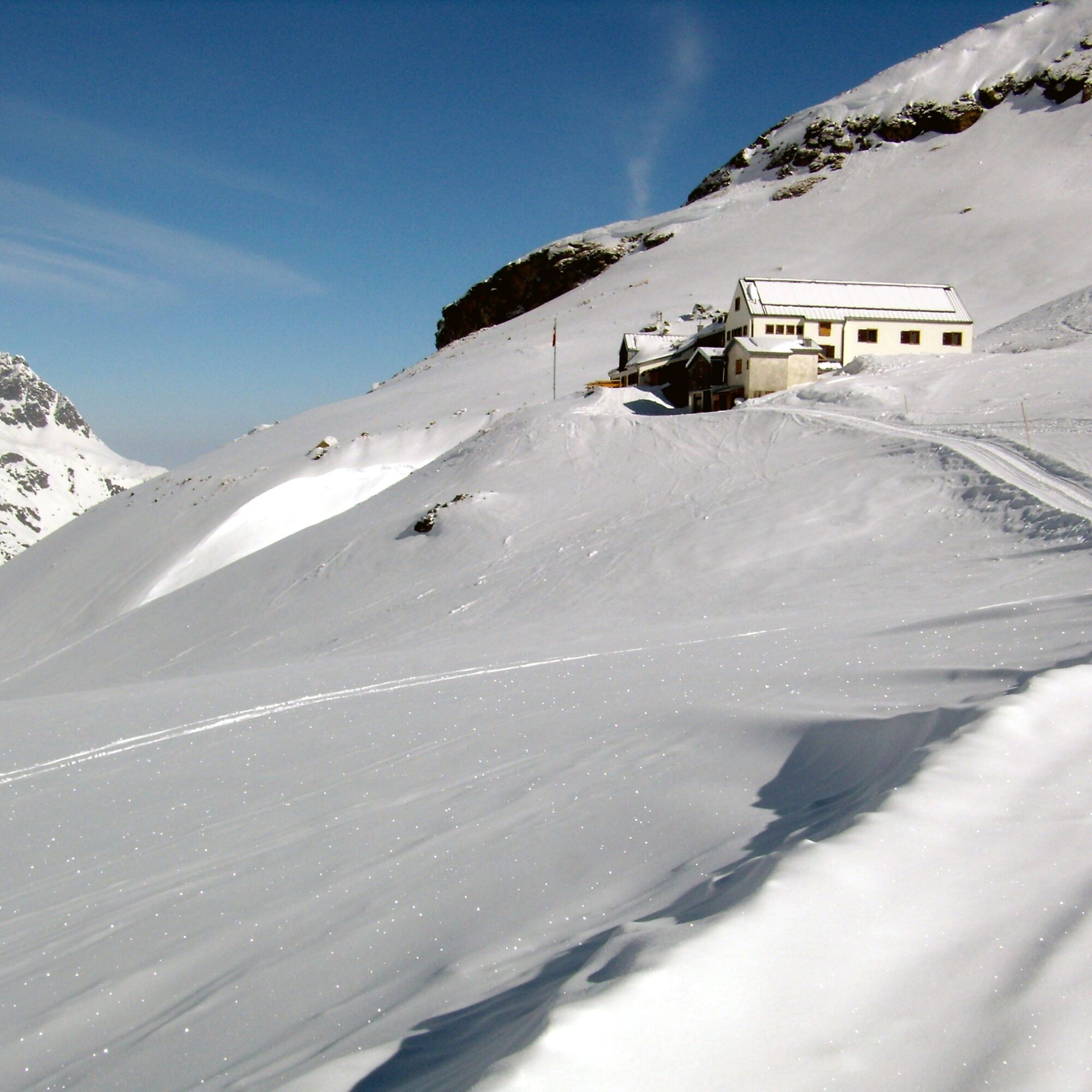
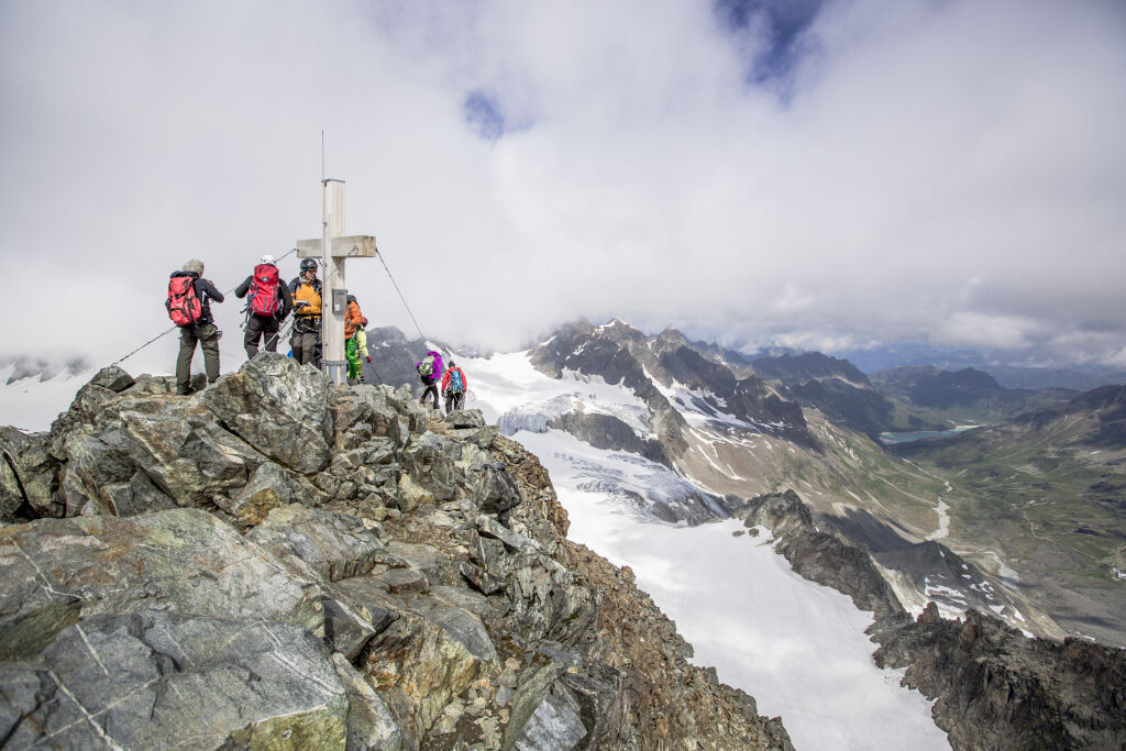

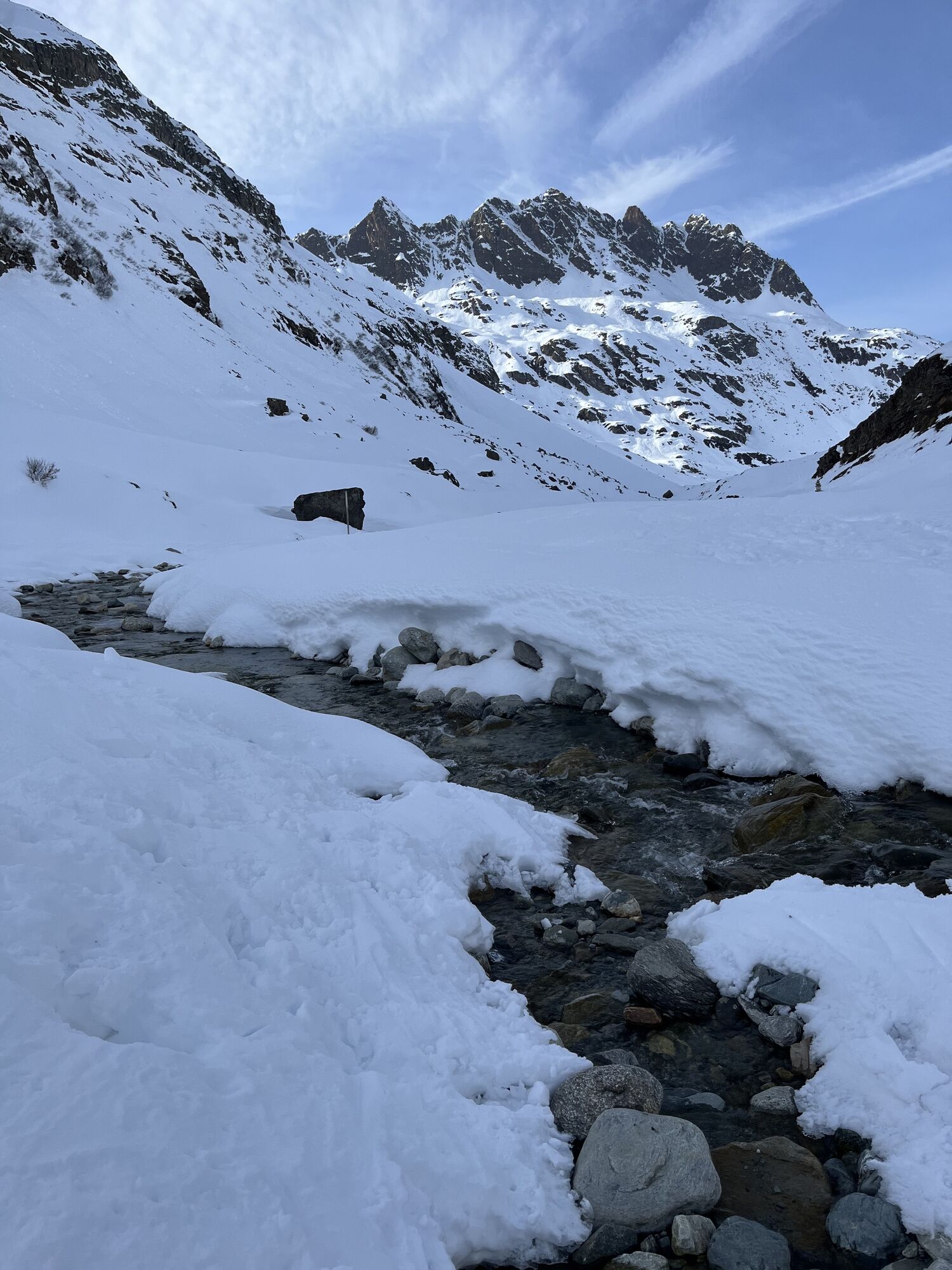
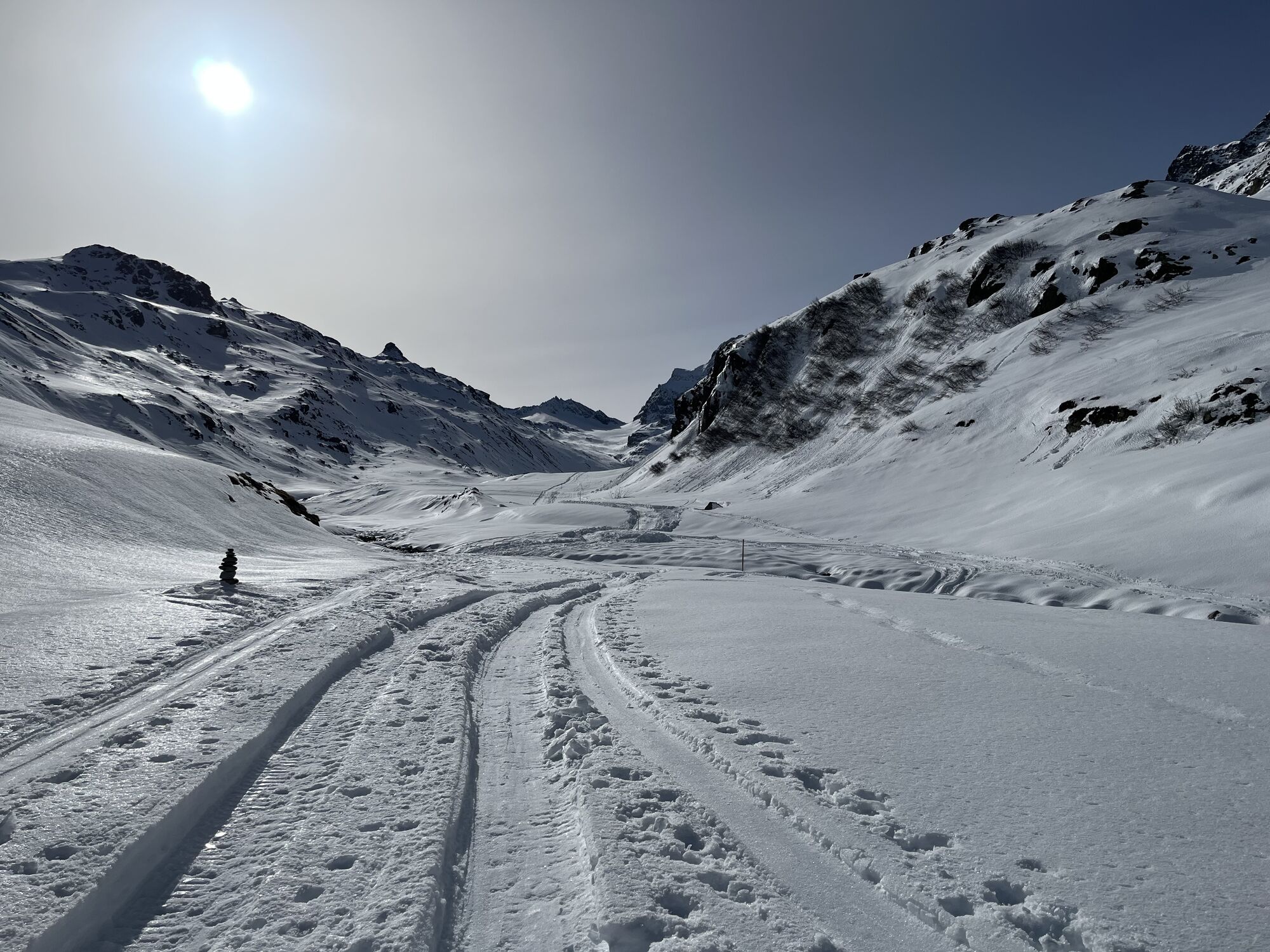
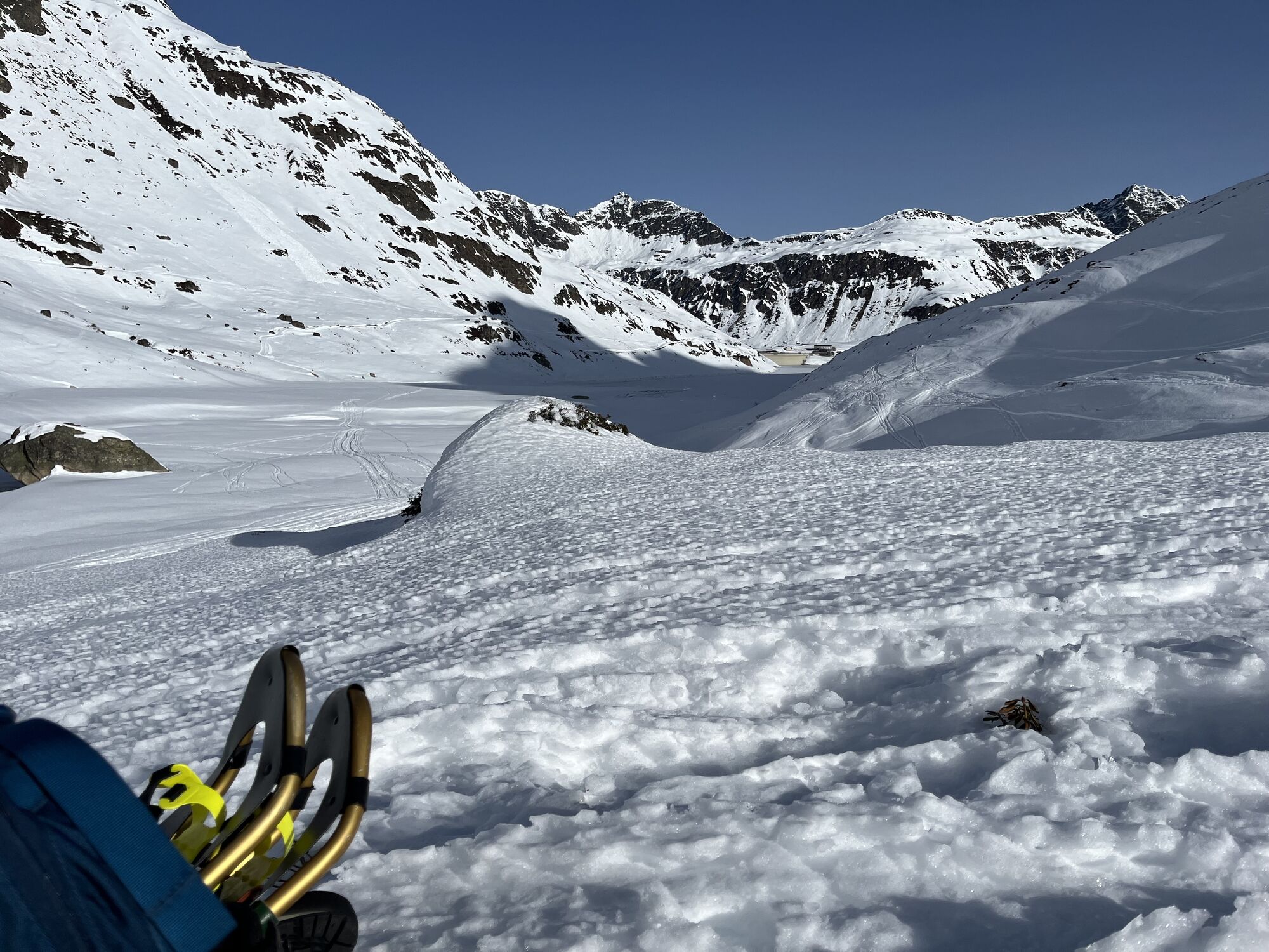
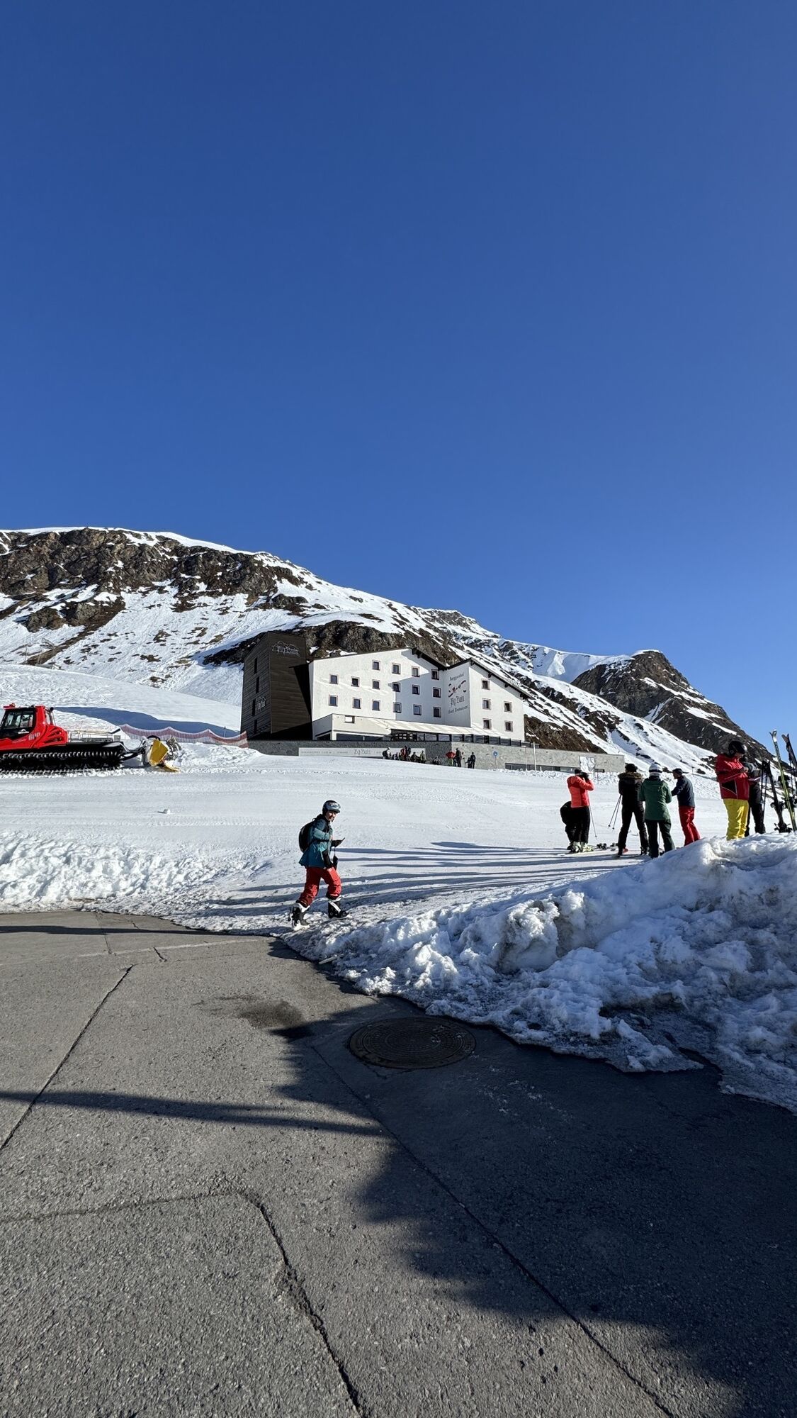
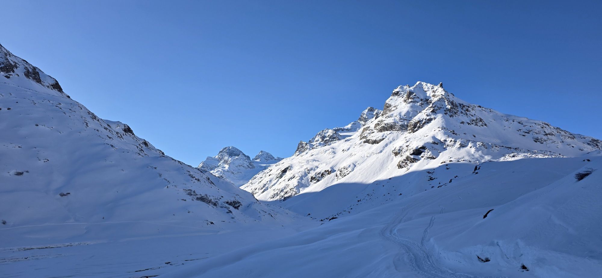
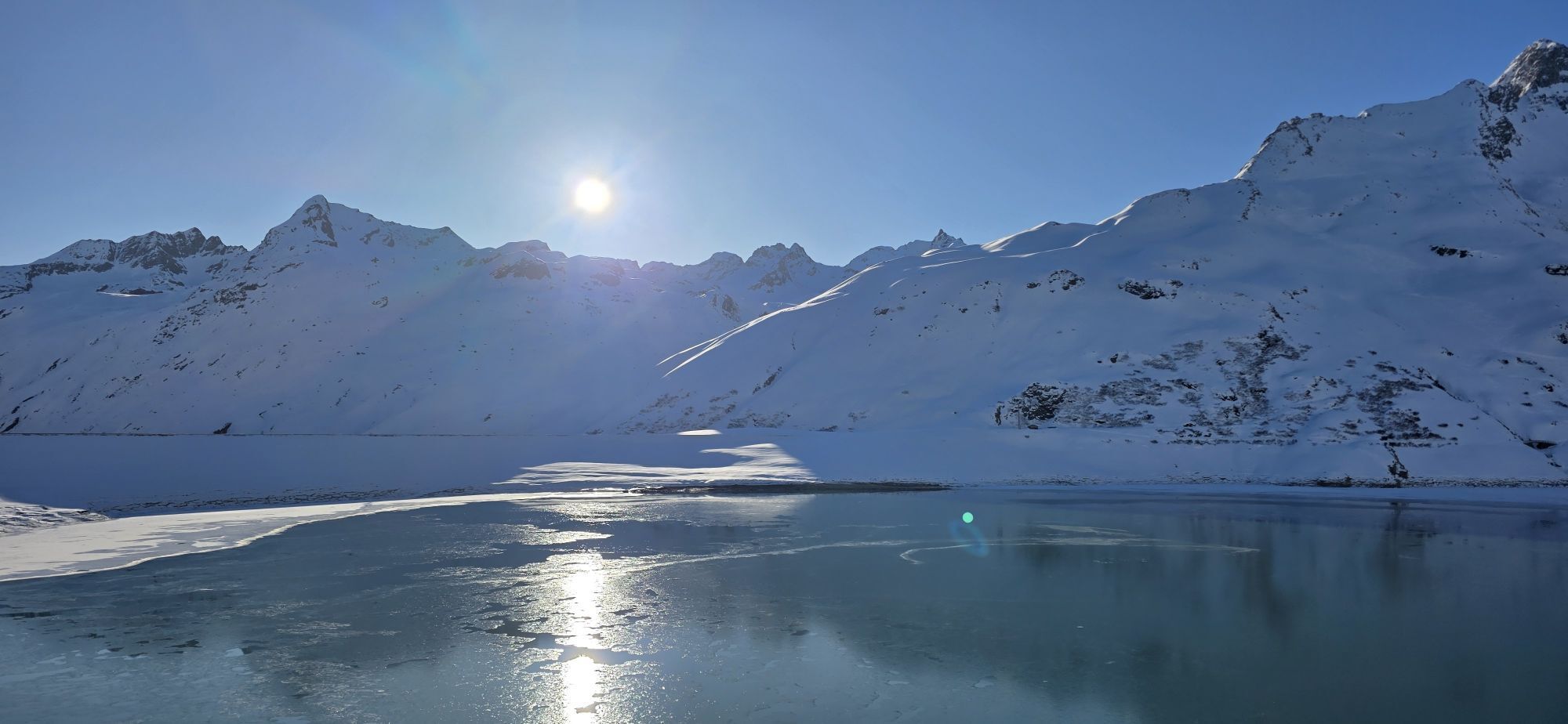
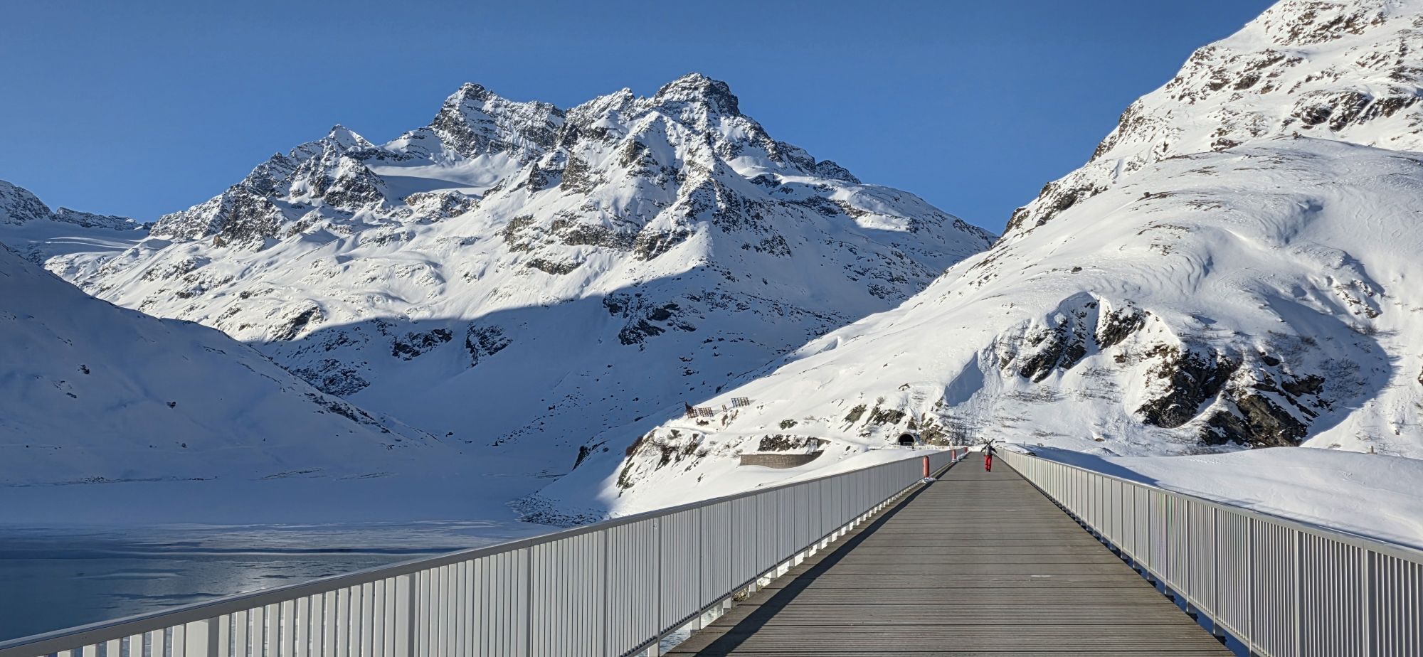
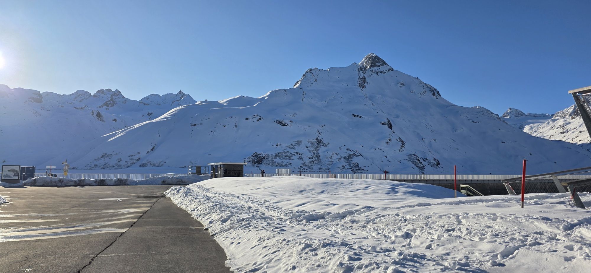
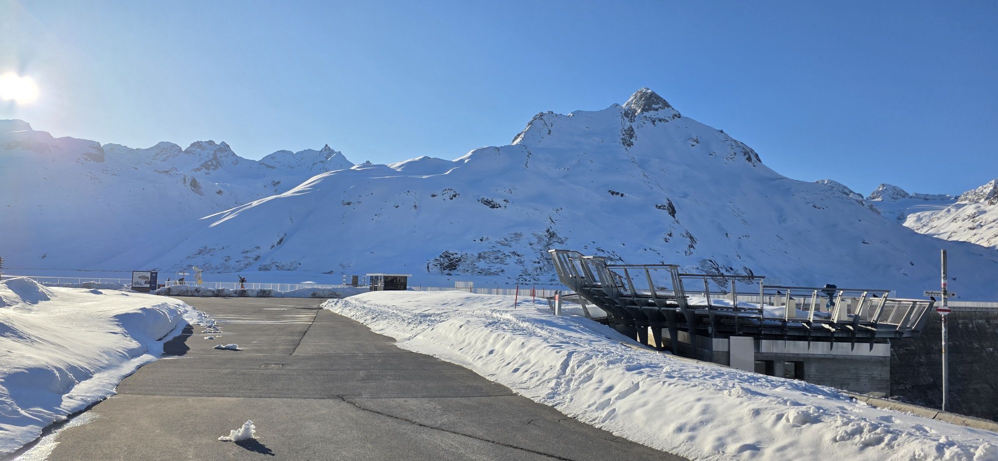
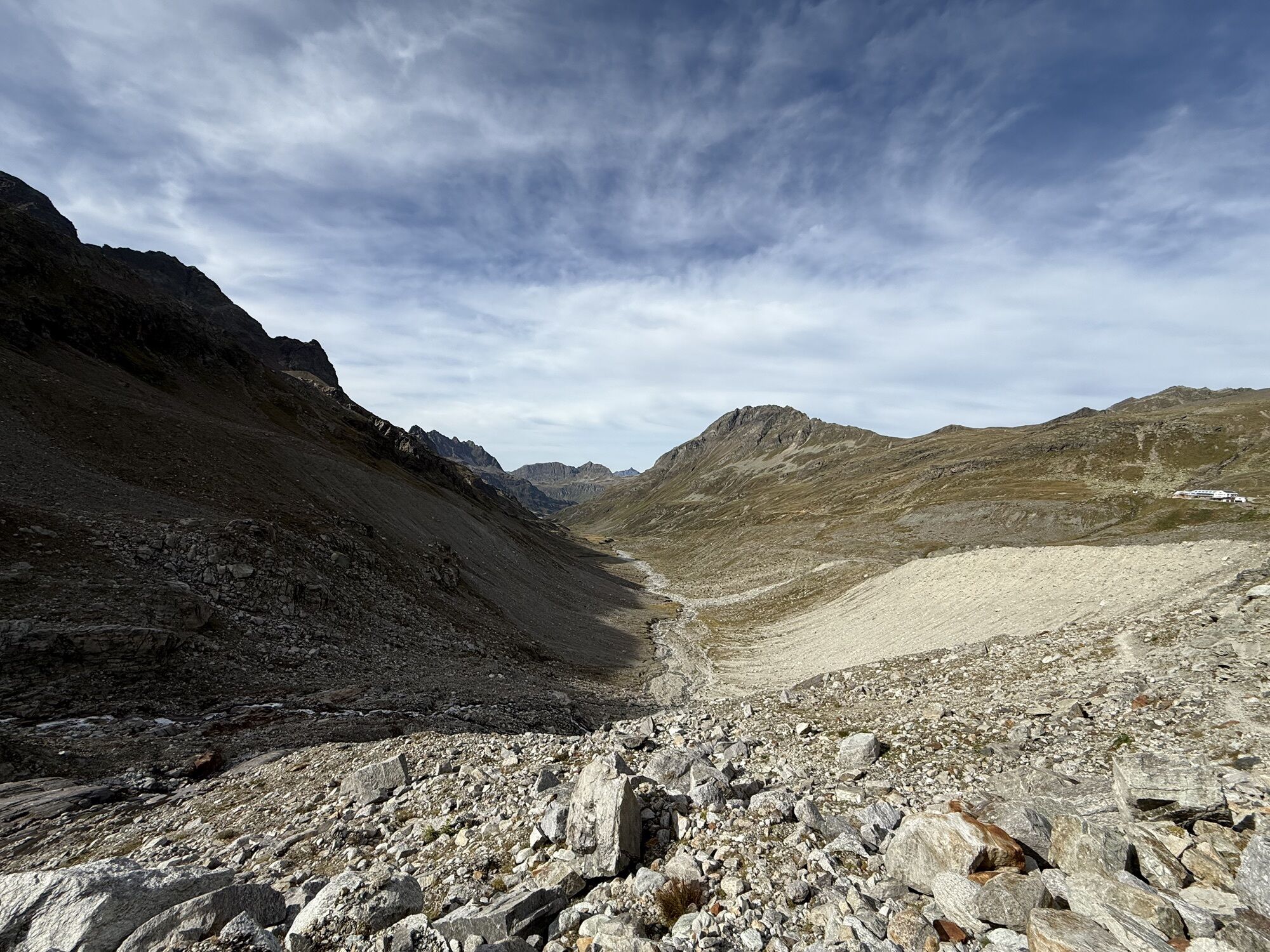
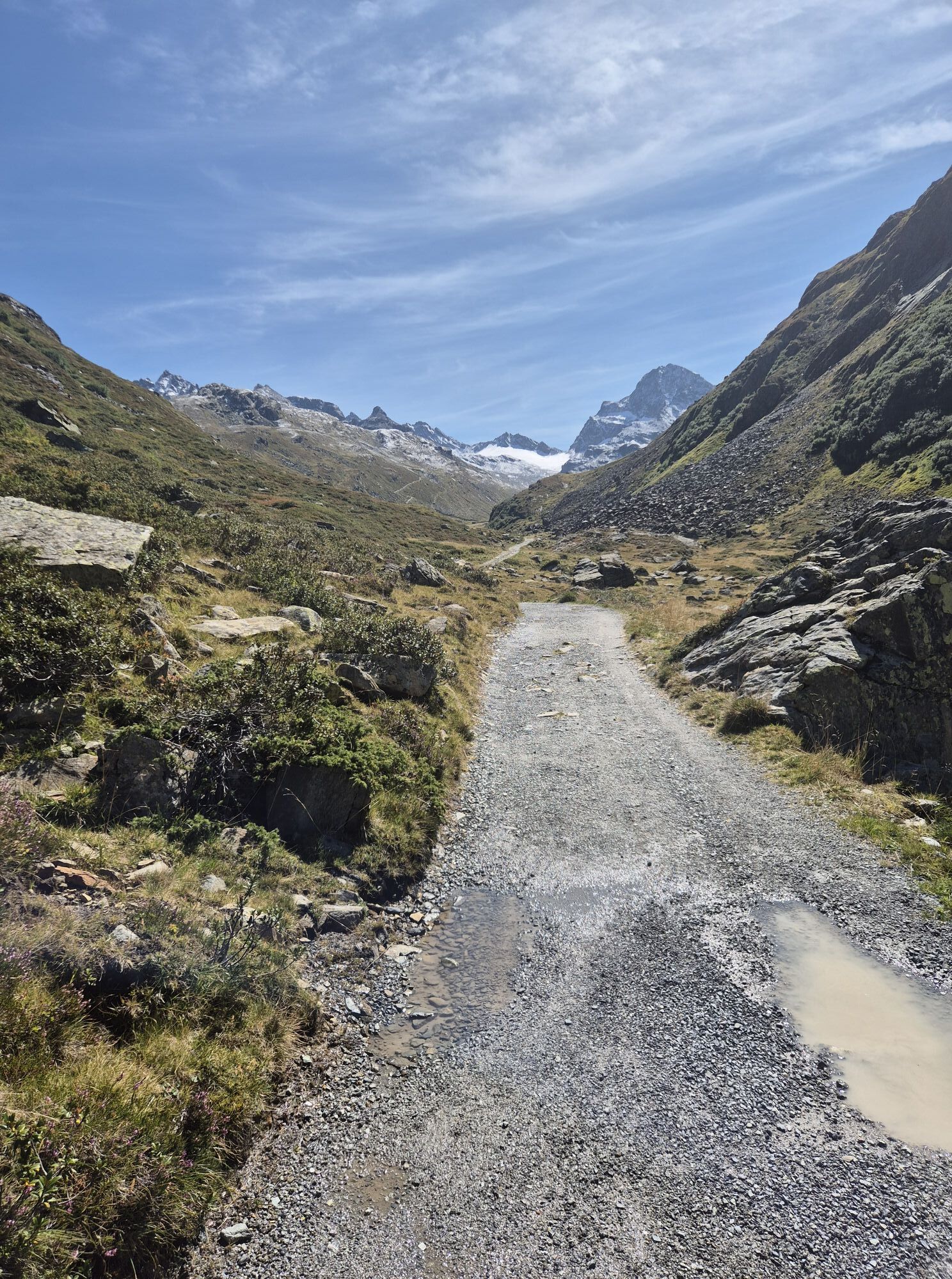
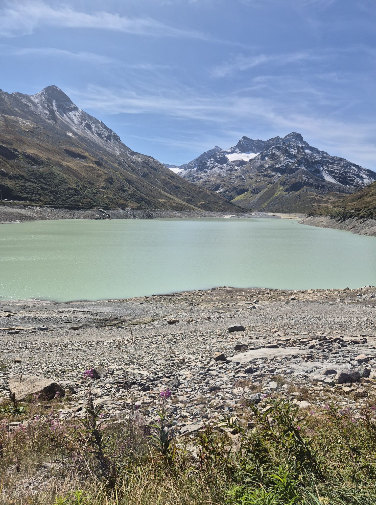
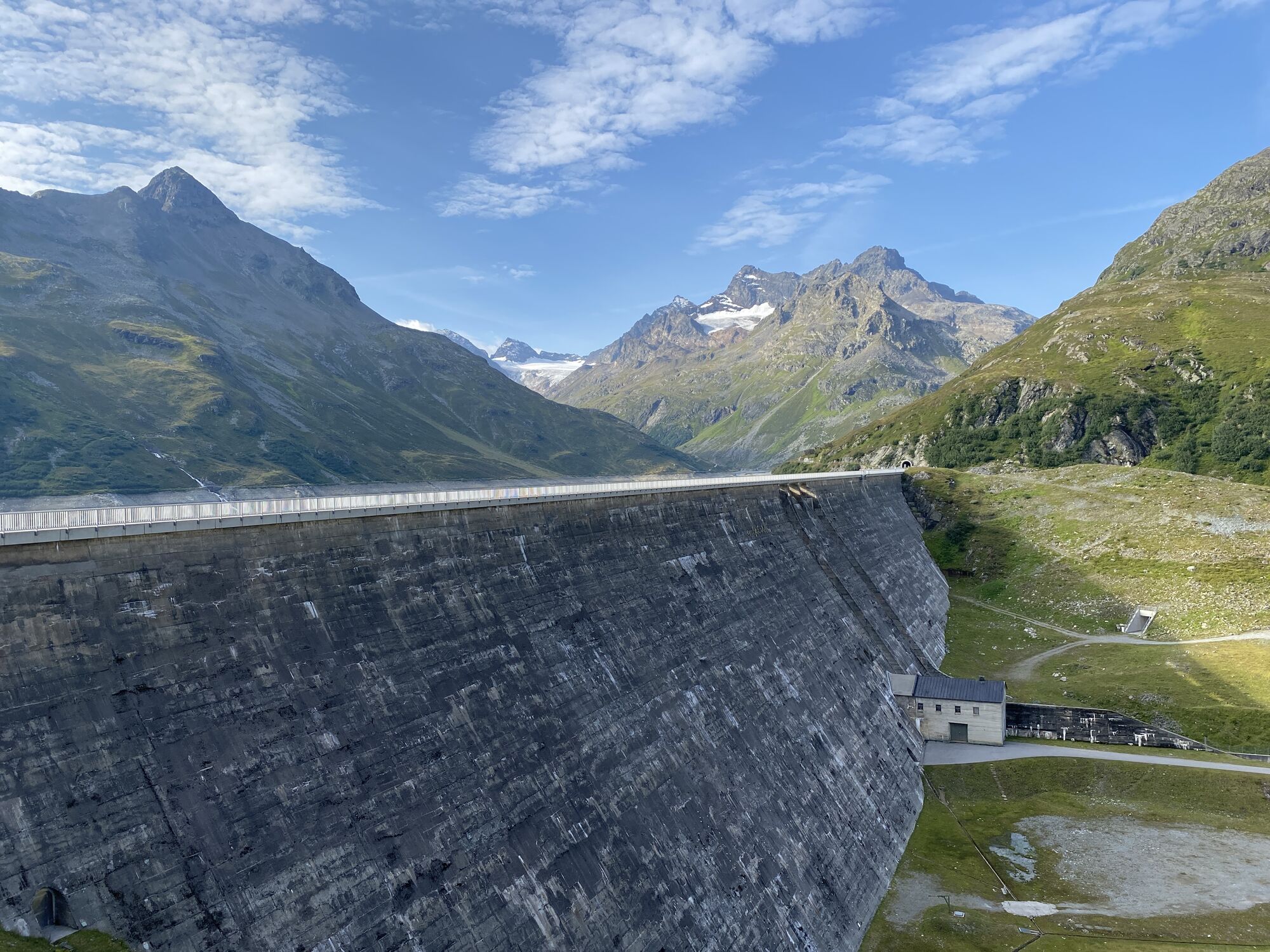
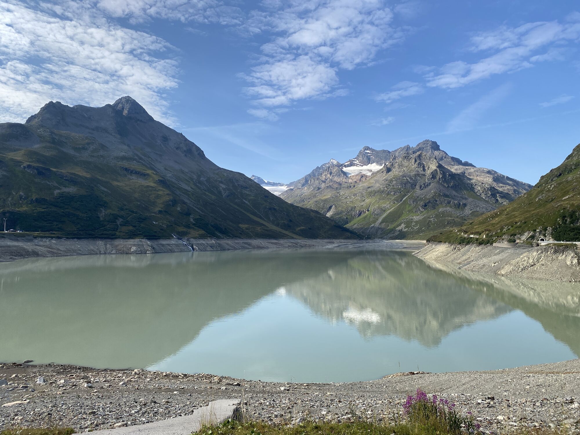
The ski route on Vorarlberg's highest mountain starts at the turnaround point of the tunnel bus (near the mountain inn Piz Buin). From here, you cross the striking dam wall of the Silvretta Lake. After the end of the dam, you enter open terrain and are responsible for assessing the avalanche danger yourself (avalanche emergency equipment!). After the tunnel, you follow the right side of the Silvretta Lake. In front of you lies Vorarlberg's highest mountain, the Piz Buin, with an elevation of 3,312 m. Now follow the path to the highest point of the elongated lake. Here, you turn into the Ochsental and head directly towards the Piz Buin, the Ochsental Glacier, and of course the Wiesbadener Hut. You follow the valley on the right side until below the Ochsental Glacier. Over the glacier, go right past the glacier crevasse and continue southwards onto the glacier plateau. From there, directly to the Buin col between the small and large Piz Buin (ski depot). With easy climbing, you ascend the last 300 vertical meters to the summit.
Descent: Over the glacier down to below the hut (observe opening times), follow the ascent route. Here you join the winter hiking trail to the hut and climb up to the hut using it, or simply continue out of the Ochsental to the Silvretta Lake.
Tak
Ski touring skis, skins, possibly crampons, ski poles, ski helmet, avalanche equipment including transceiver, avalanche probe and shovel, ski touring backpack (approx. 30 liters) with avalanche airbag and rain cover, ski touring boots, ski socks, warm and durable clothing in multi-layer principle, ski touring jacket and pants, light gloves for ascent, warm gloves for descent, hat/headband, possibly ski goggles, sun and rain protection, provisions and drinking water, thermos with hot drink, first aid kit, pocket knife, mobile phone, headlamp and reflectors, map material, bivy sack and rescue blanket
EMERGENCY CALL: 144
European emergency number: 112 (works with any mobile phone, if any network is available)
www.vorarlberg.travel/securitytips
Avalanche report:
https://warnung.vorarlberg.at/vtgdb/dist/index.html#//lwd_lagebericht_de.html
The ski routes are in open terrain. Proceed at your own risk.
Coming from Bludenz take the motorway exit Bludenz/Montafon and follow the L188 into Montafon up to Partenen. On the right side is the valley station of the Vermuntbahn which takes you up to Silvretta-Bielerhöhe.
www.google.at/maps
Simply leave your car behind
The local buses of Montafonerbahn run throughout the Montafon. The main lines run hourly from Schruns station.
From Schruns station, take bus line 650 to Partenen. The stop is: Partenen "Bergbahnen". From here you take the Vermuntbahn and the tunnel bus up to Silvretta-Bielerhöhe. The stop is: Silvrettasee
For the return trip:
Take the tunnel bus and the Vermuntbahn back to the valley, Partenen. From here, take bus line 650 back to Schruns station.
Arrival by train:
From Bludenz station, the Montafonerbahn runs hourly (partly every half hour). There are also direct connections from Lindau (D) and Bregenz.
Free of charge at the valley station of the Vermuntbahn in Partenen
All routes leading to or over the Wiesbadener Hut can no longer be accessed over the Silvretta Lake in the winter season as before. Due to the commissioning of the new pumped-storage power plant in 2019, the Silvretta Lake can no longer form a load-bearing ice cover. A relatively safe winter approach leads over the Bieltal and Bieltaljoch to the Wiesbadener Hut. Under safe conditions, it can be decided on-site whether the start over the west bank (dam, tunnel) or the east bank (dam crest) is passable.
Splitboarding is not recommended!
The professionals of the Montafon mountain guides recommend solid basic training, avalanche and risk management. We recommend you take the guided ski tours with our Montafon mountain guides. You can find the tour program at www.montafon.at/skitouren
Uzyskaj wgląd
Zawsze na żywo z ponad 9 500 kamer internetowych. bergfex Jako użytkownik Pro, możesz teraz zobaczyć odpowiednie kamery internetowe dla wielu wycieczek w aplikacji wycieczki od. Pozwala to na bezpośredni podgląd aktualnych warunków.
Popularne wycieczki w okolicy
-
4,9
Hiking trail Piz Buin - view
średniWędrówka 14,4 km -
4,5
Madrisella summit path
średniTrasa tematyczna 10,8 km -
4,8
Heilbronner lodge
średniWędrówka 13,0 km -
5,0
Menta Alm - Scheibenalm
światłoWędrówka 11,4 km -
2,8
Bielerhöhe and circular hike around the Silvretta reservoir
średniWędrówka 13,1 km -
4,5
Vom Kopssee zur Breitspitze Gemeinde Gaschurn, Vorarlberg/Österreich
średniWędrówka 12,5 km -
4,6
Sonnenkogel - Friedrichshafener lodge
średniWędrówka 13,2 km -
5,0
Wiegensee-Kopssee
średniWędrówka 8,17 km -
4,7
Jamtal lodge
średniWędrówka 19,6 km -
5,0
Großer Piz Buin (3.312m), Normalweg 2019 über Ochsentaler Gletscher
ciężkiWycieczka wysokogórska 24,1 km
Wędrówki i tropienie


Nie przegap ofert i inspiracji na następne wakacje
Twój adres e-mail została dodana do listy mailingowej.





