







Ski tour Hennekopf (2,704 m)

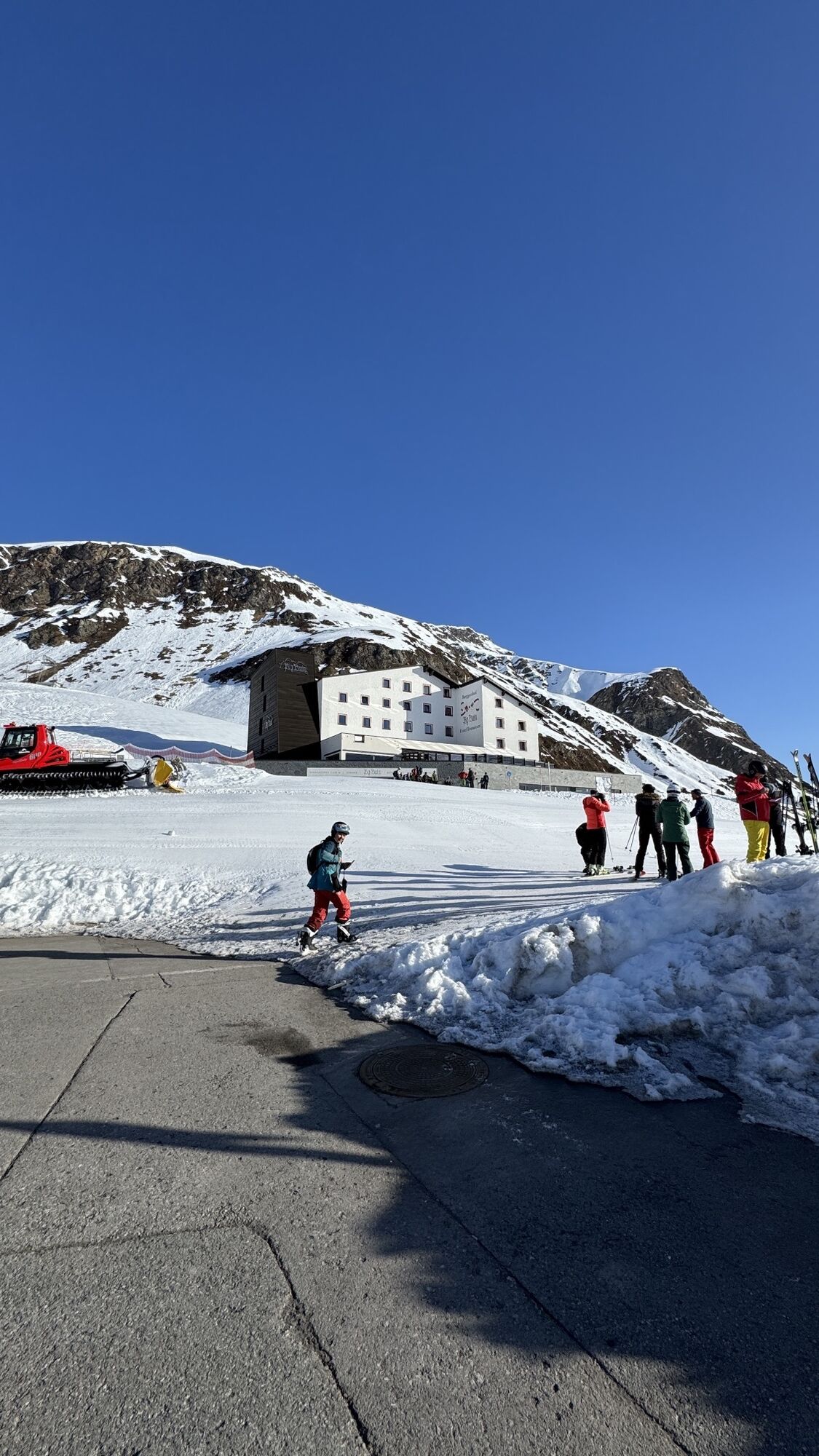
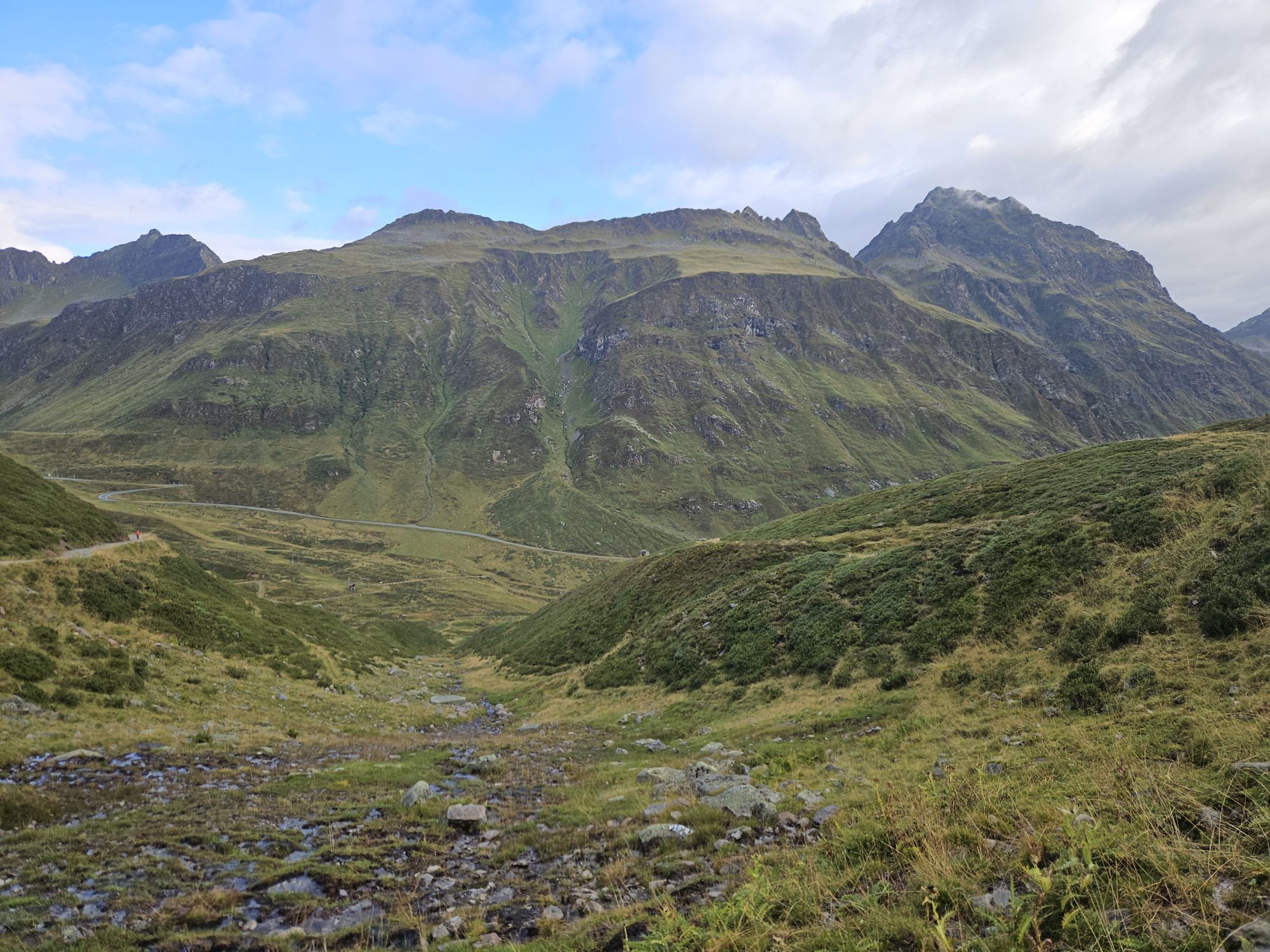
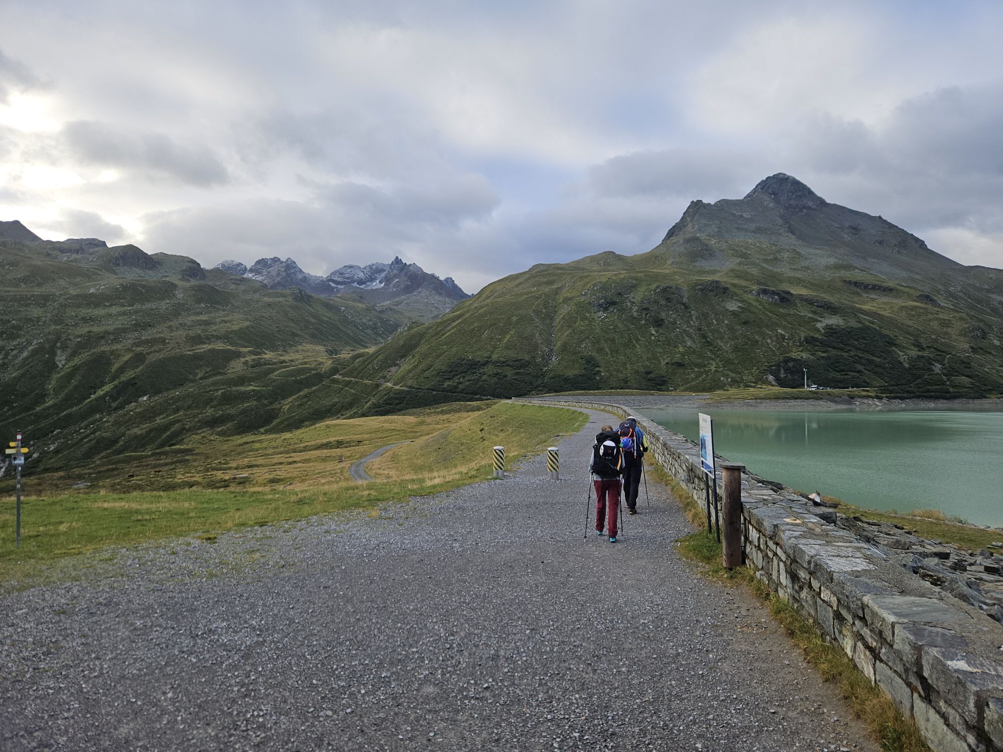
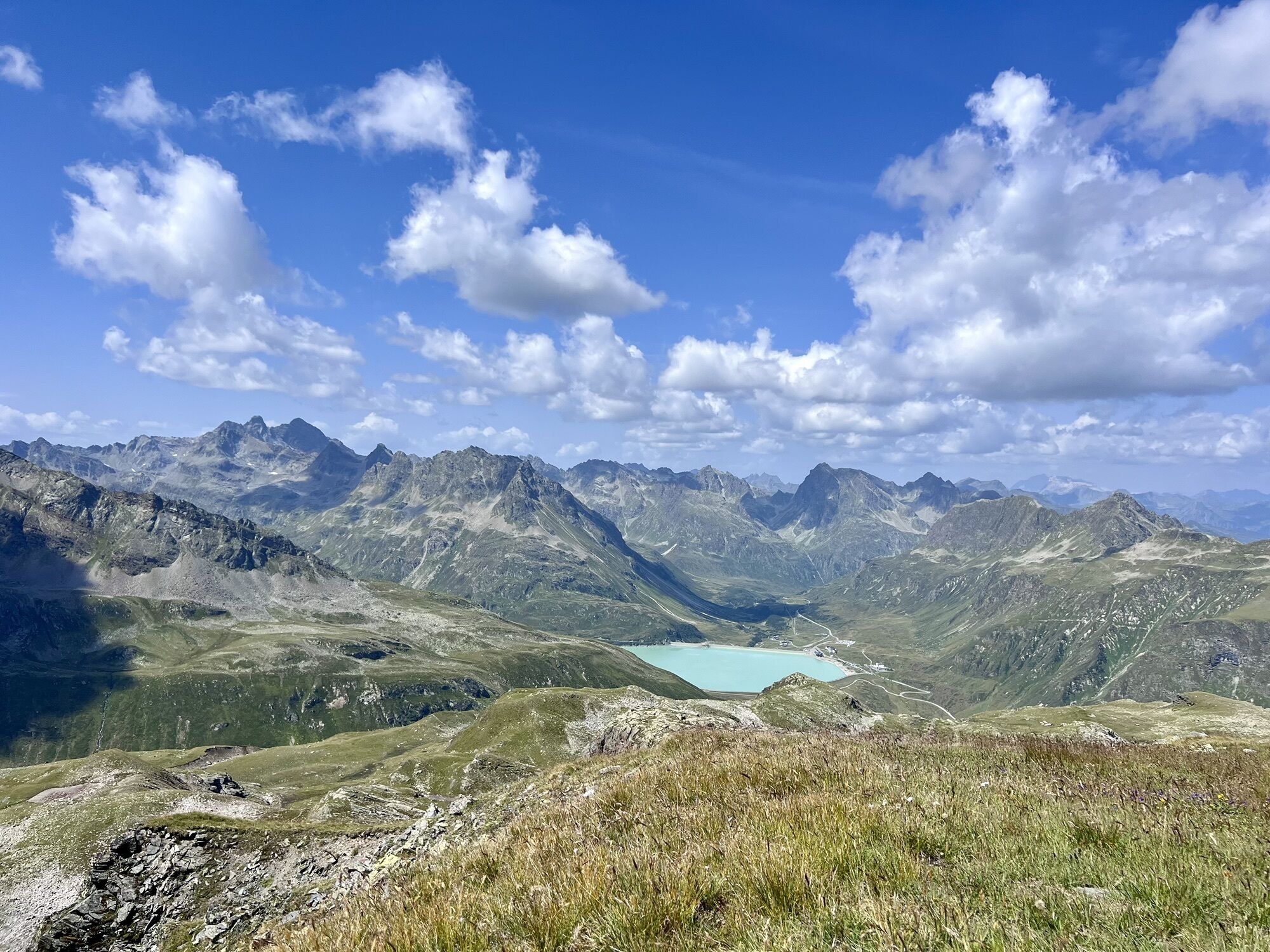
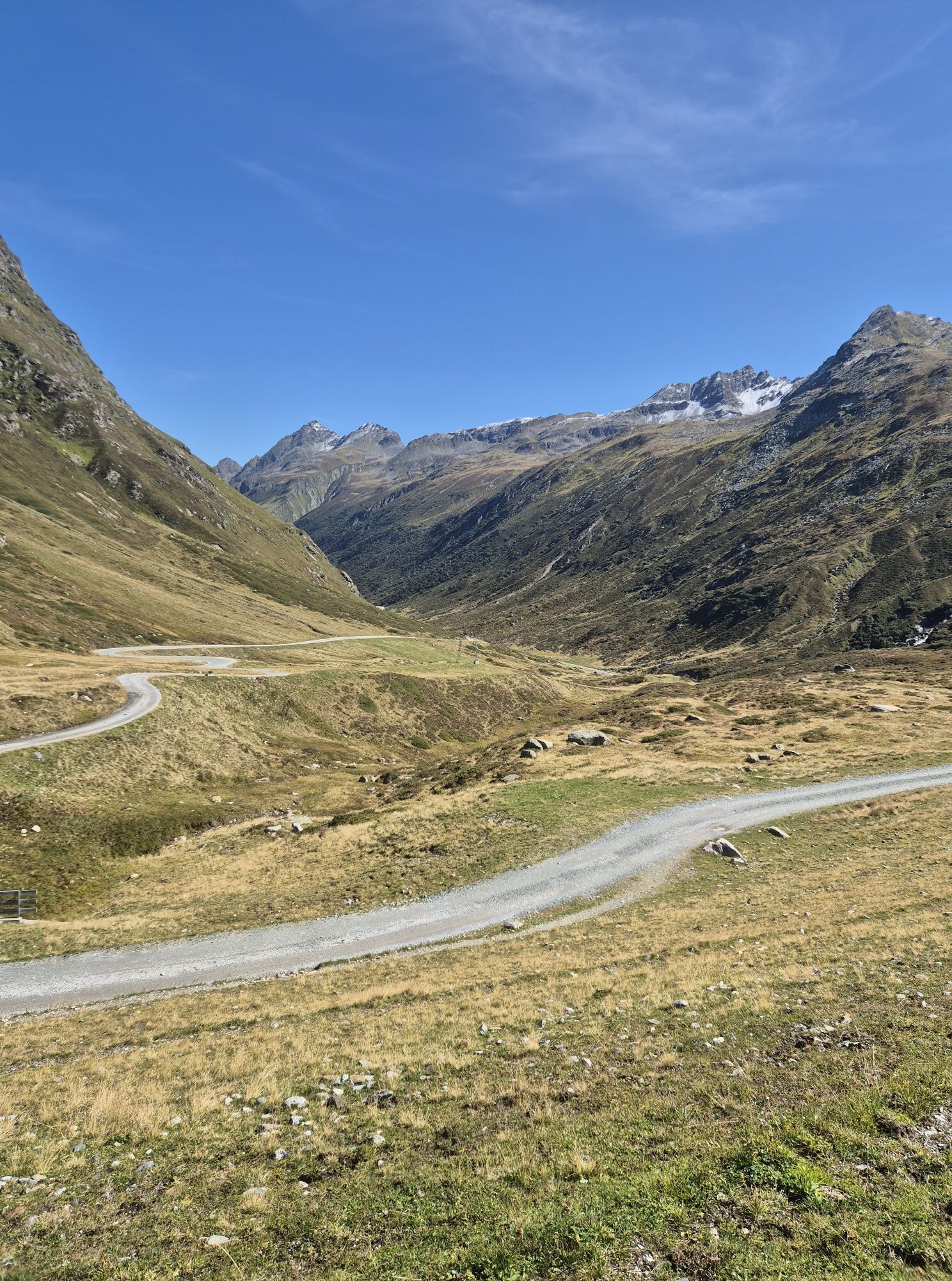
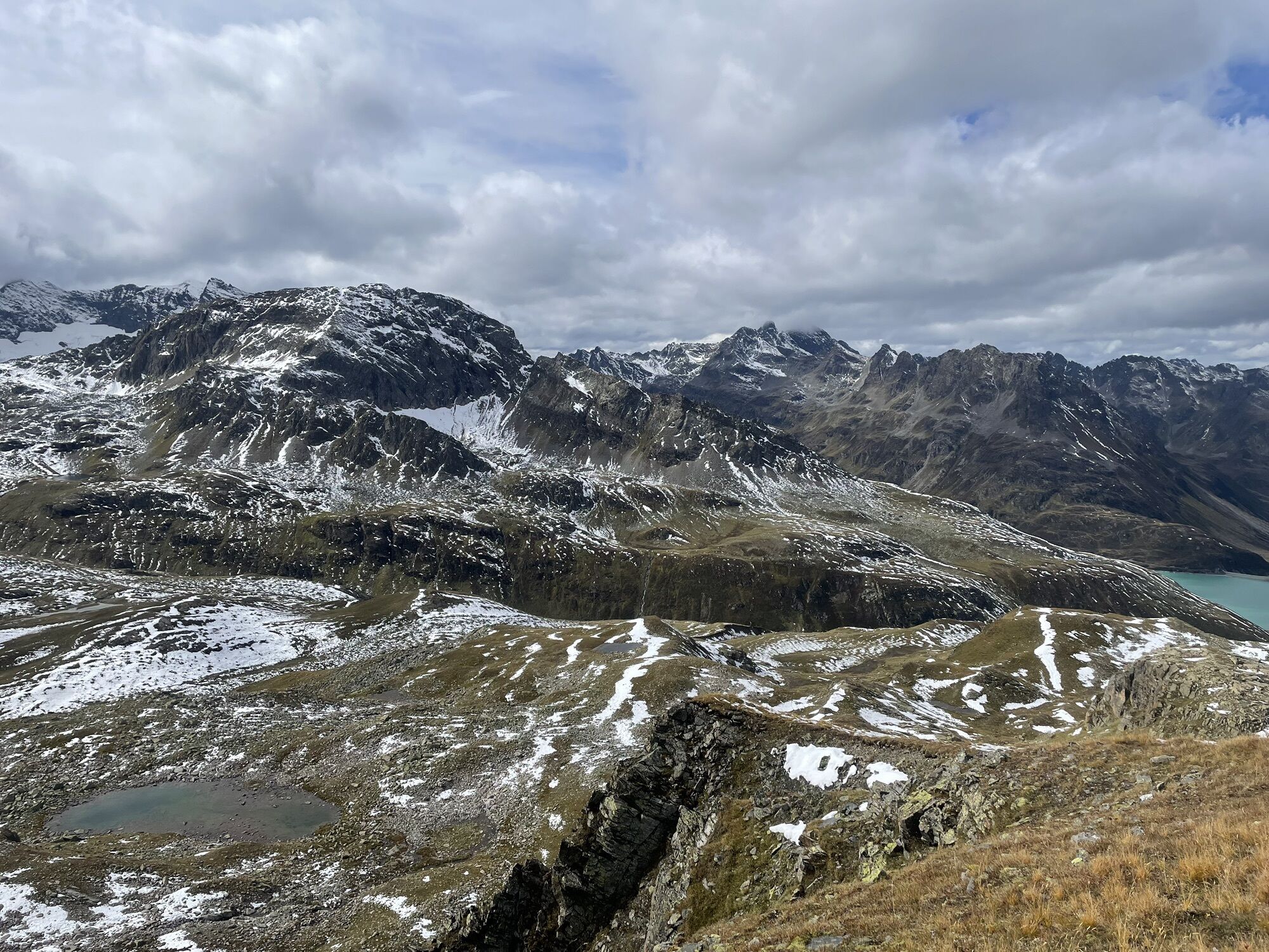
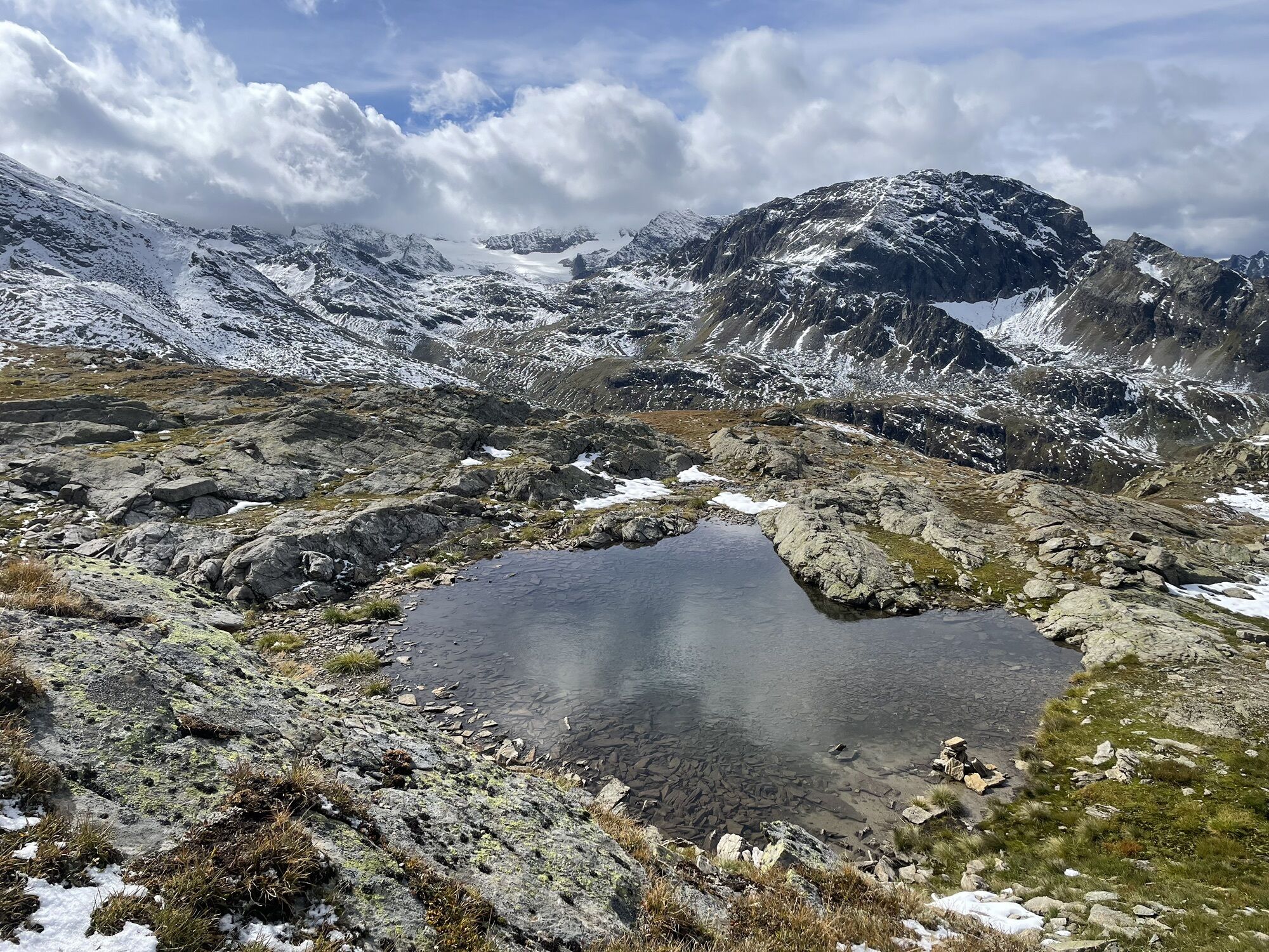
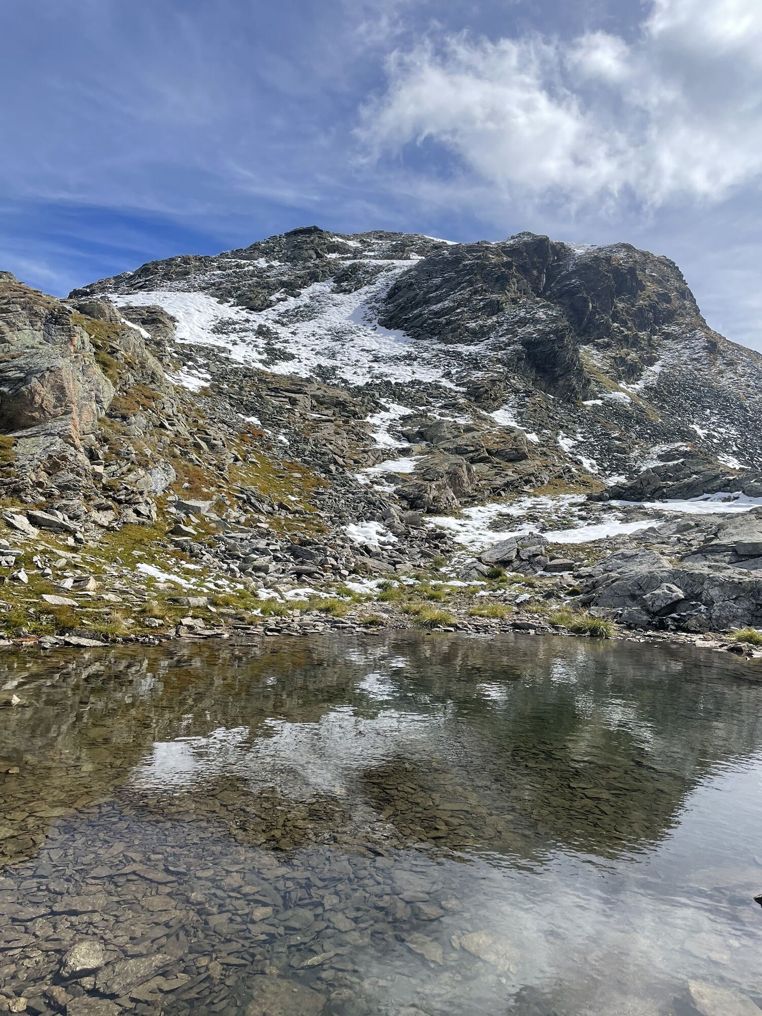

The ski tour to the Hennekopf is one of the shortest and easiest high alpine ski tours in the Bielerhöhe or Silvretta area. Therefore, it is also suitable for beginners. Special attention in assessing...
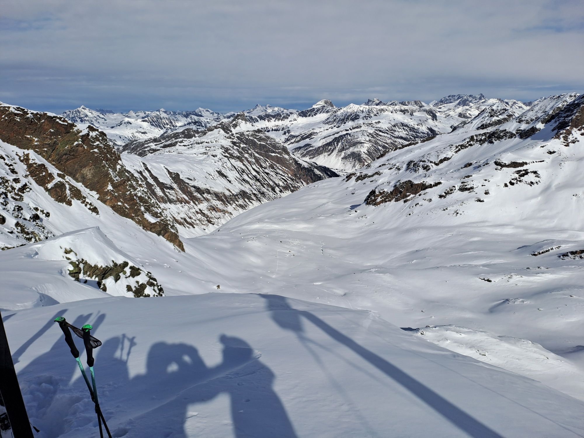
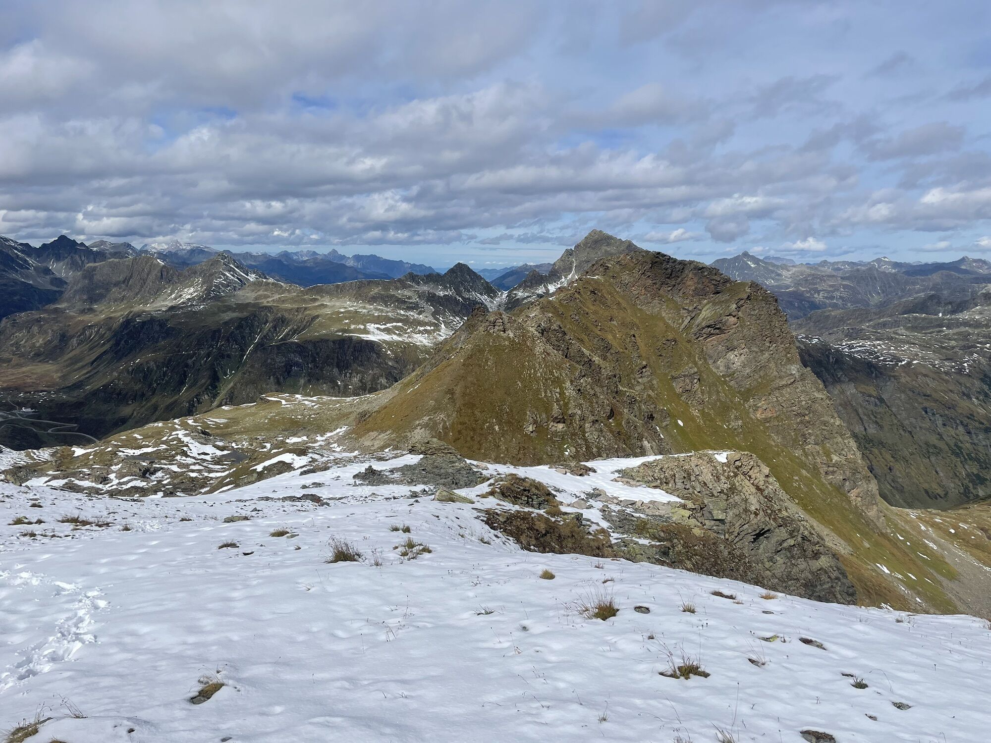
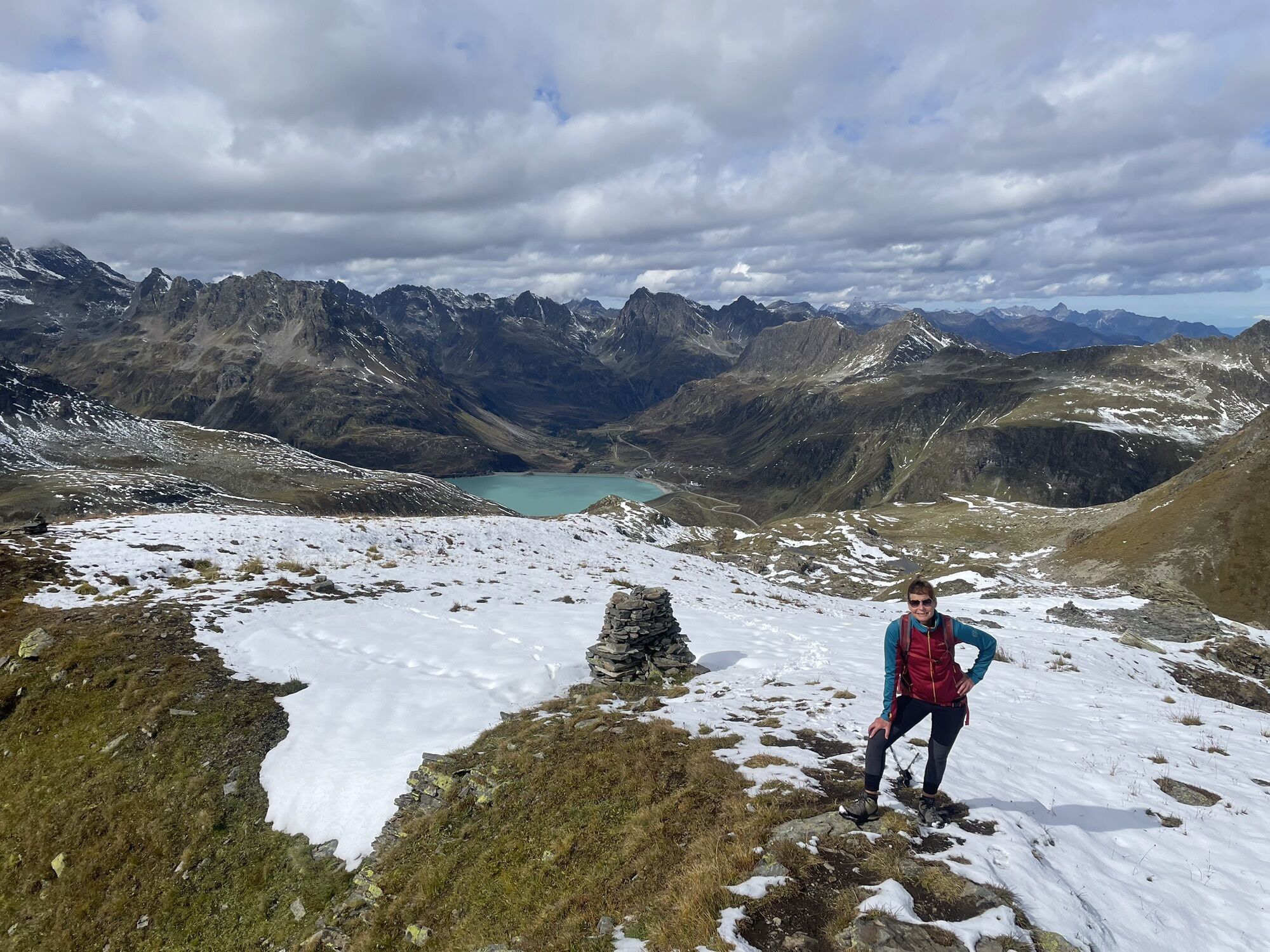
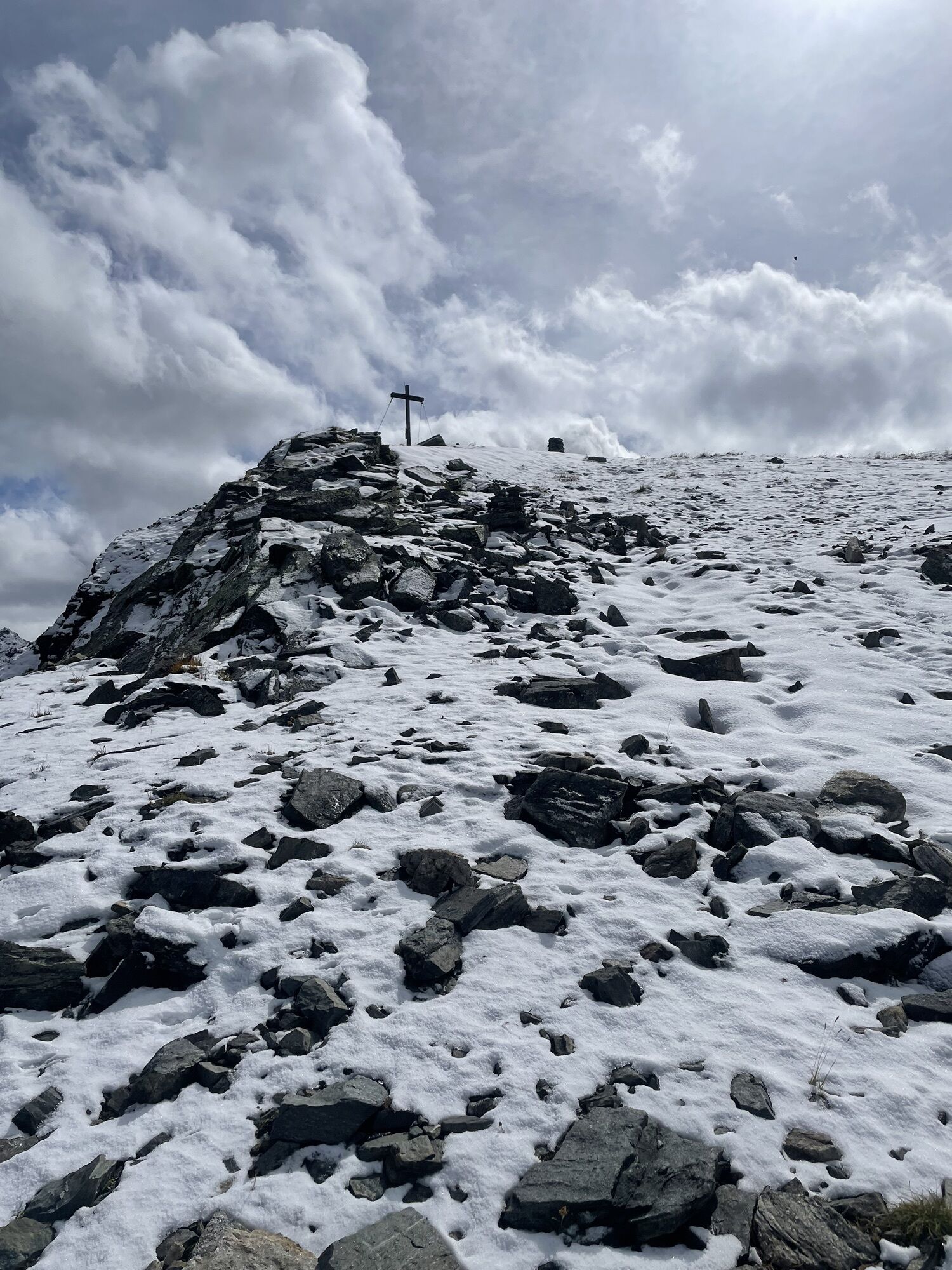
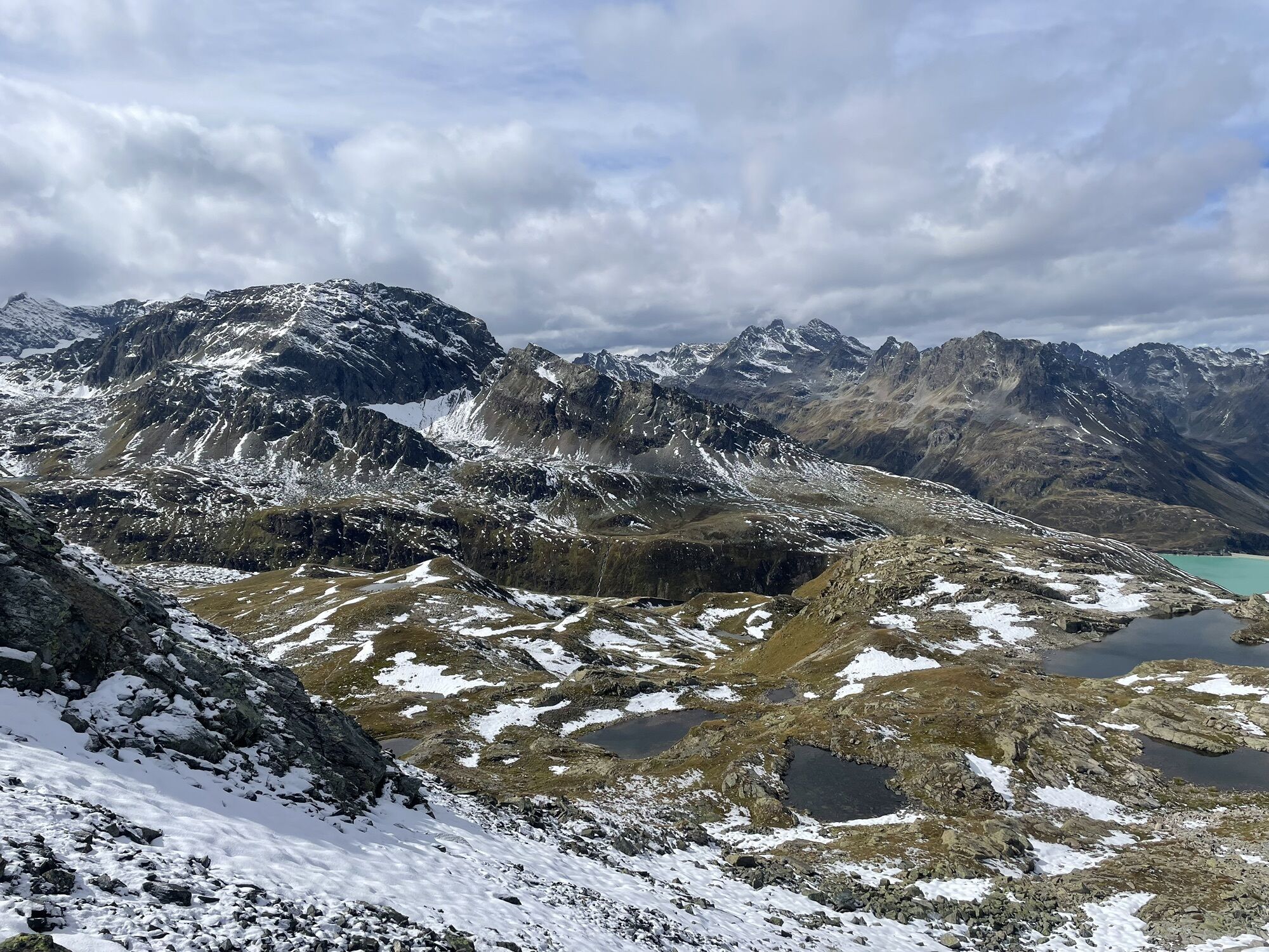
The ski tour to the Hennekopf is one of the shortest and easiest high alpine ski tours in the Bielerhöhe or Silvretta area. Therefore, it is also suitable for beginners. Special attention in assessing the route is required for the steep slopes at the entrance to the Bieltal. For this tour, as a general rule, no switchback technique is necessary, and it is a true enjoyment ski tour. At the summit, a unique view opens up of the 3,000 m peaks of the Silvretta. For the descent, the wide slopes in moderately steep terrain are ideal even for less experienced powder skiers.

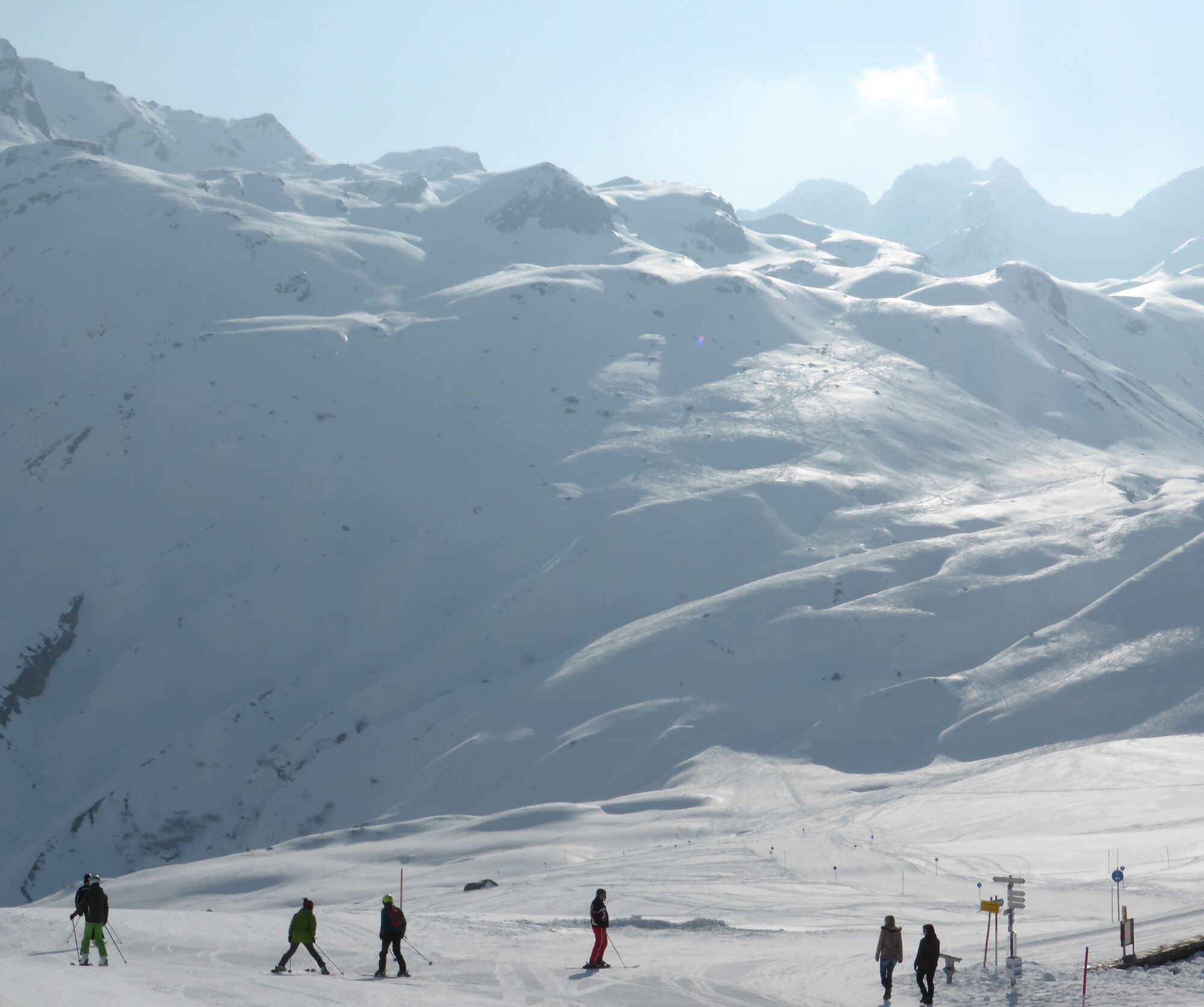
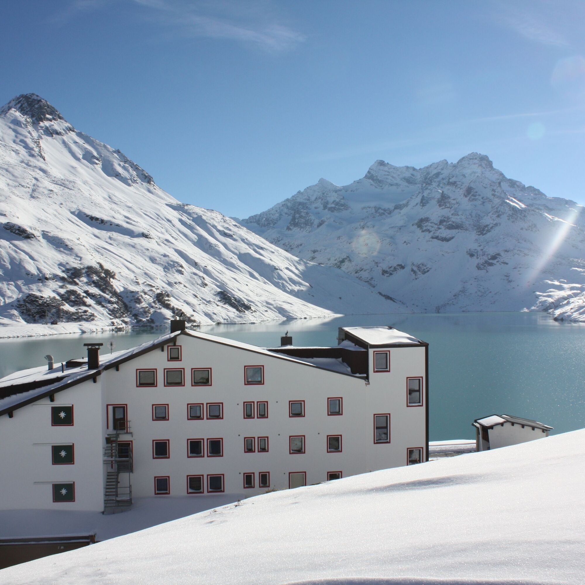
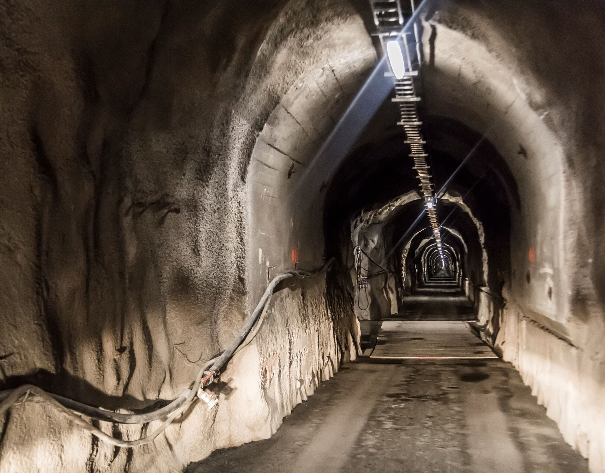
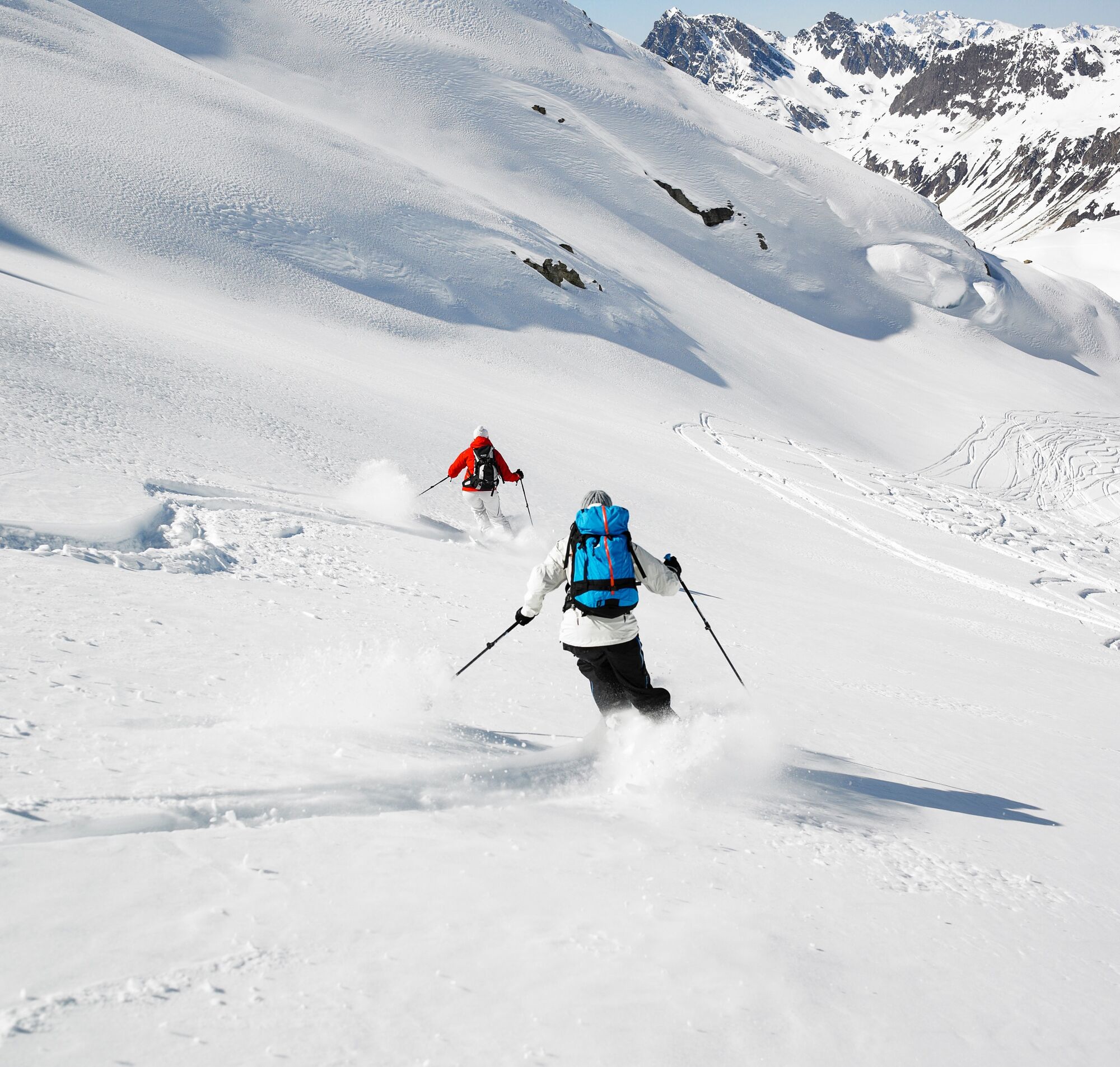
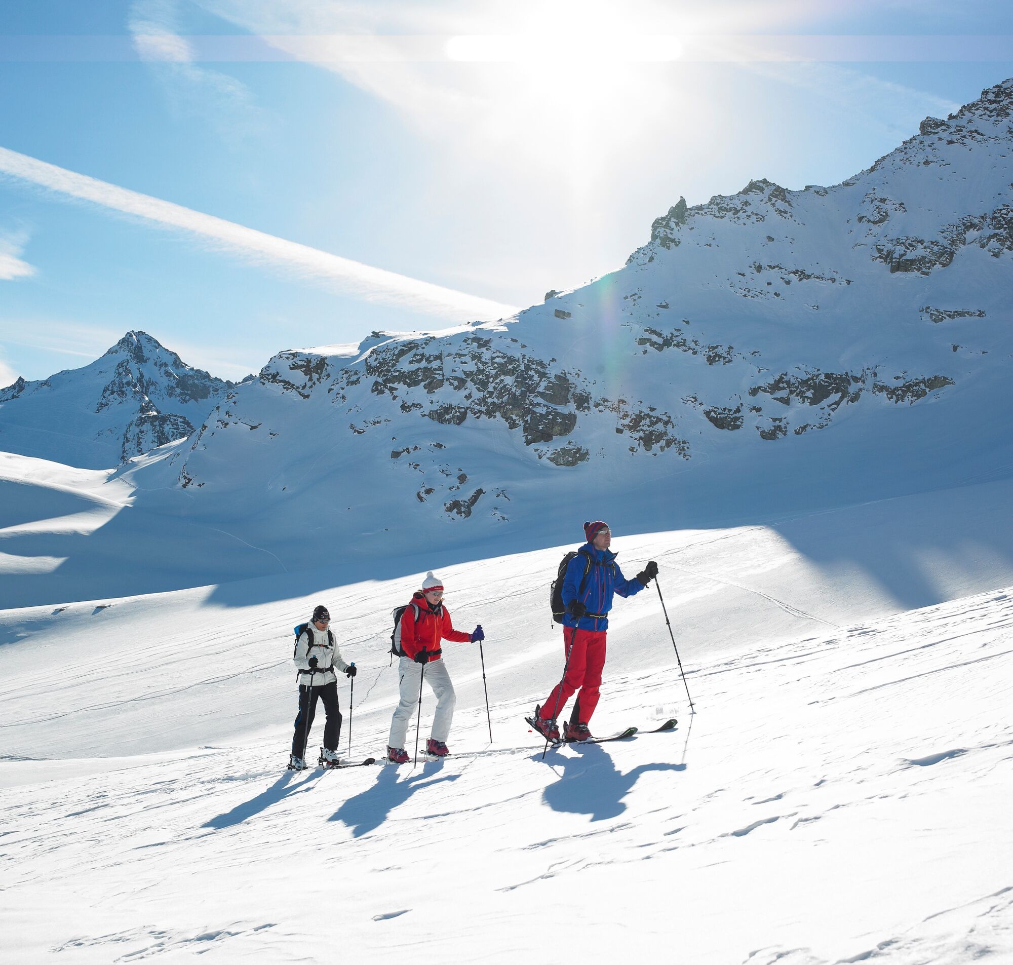

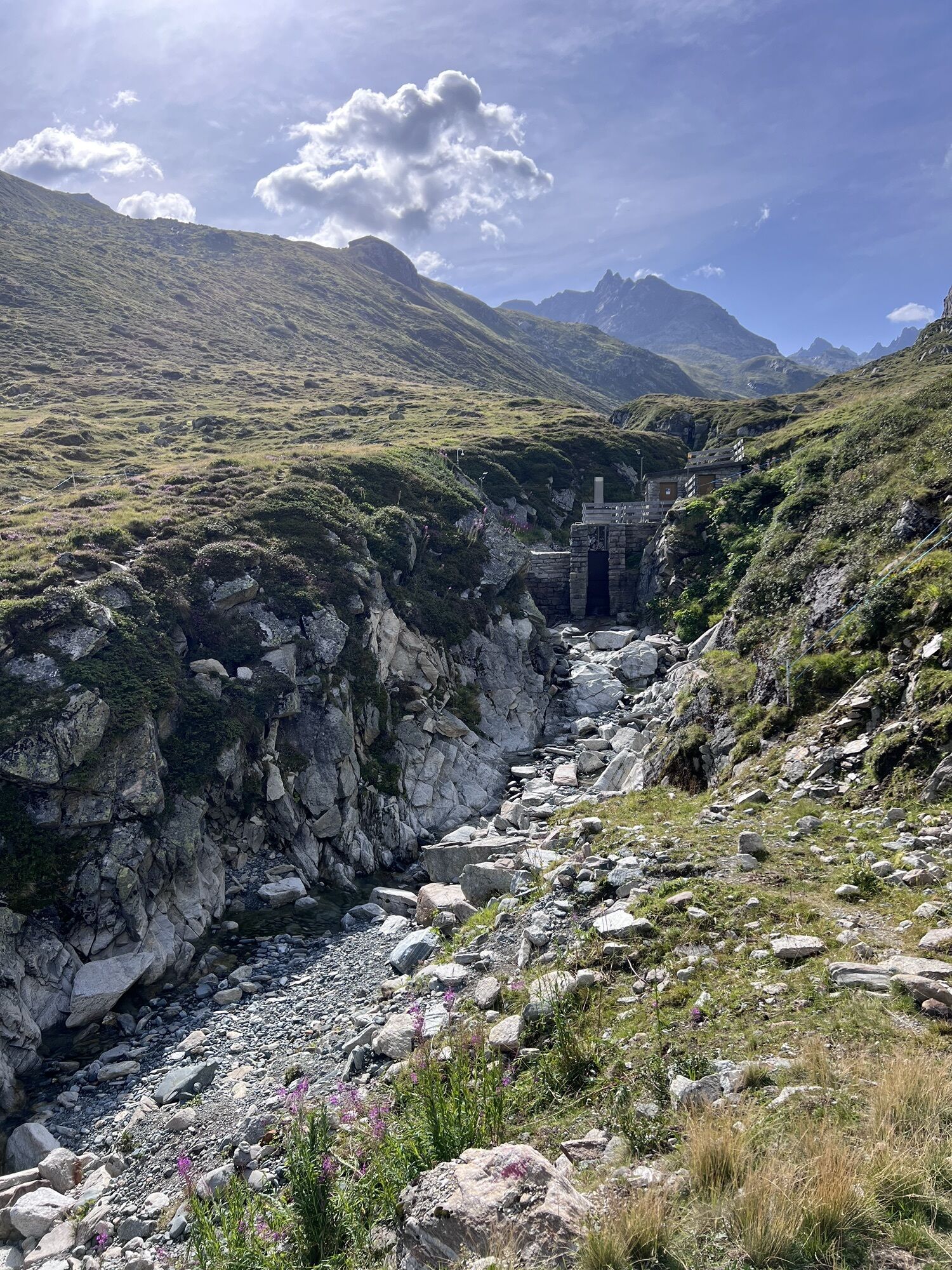
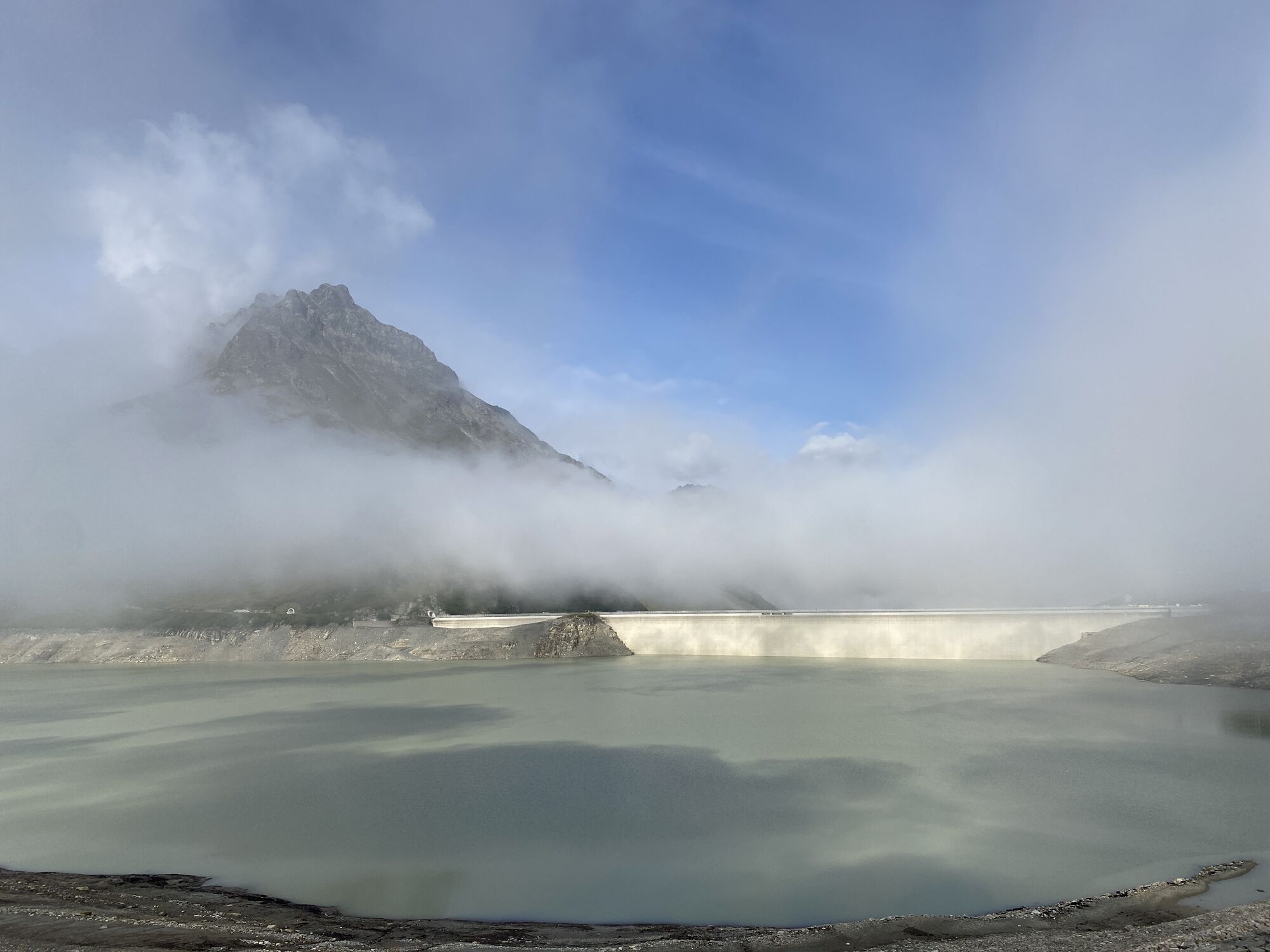
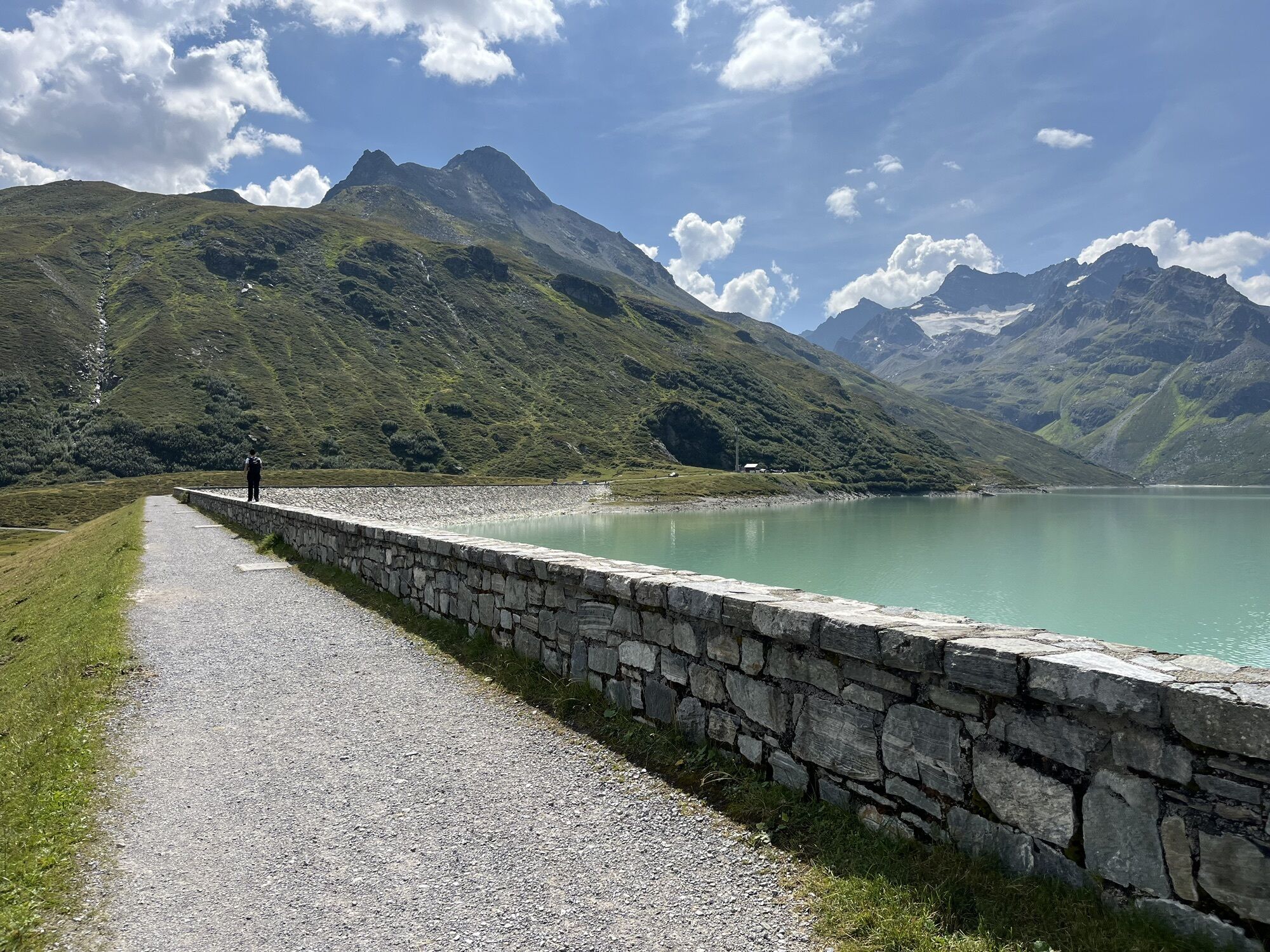
From the mountain inn Piz Buin, you first follow the dam trail and then go left down to the entrance of the Bieltal. Now it leads you along the ridge to the left of a gully into the flat Bieltal. After a short flat section, you can cross the deeply snow-covered stream to the east at a water intake and thus reach the wide western slopes. You climb these up to an altitude of about 2,250 m. From there, continue northeast until you reach the Henneköpf, the highest point of the route.
Descent: Same as ascent or further south (depending on conditions).
Tak
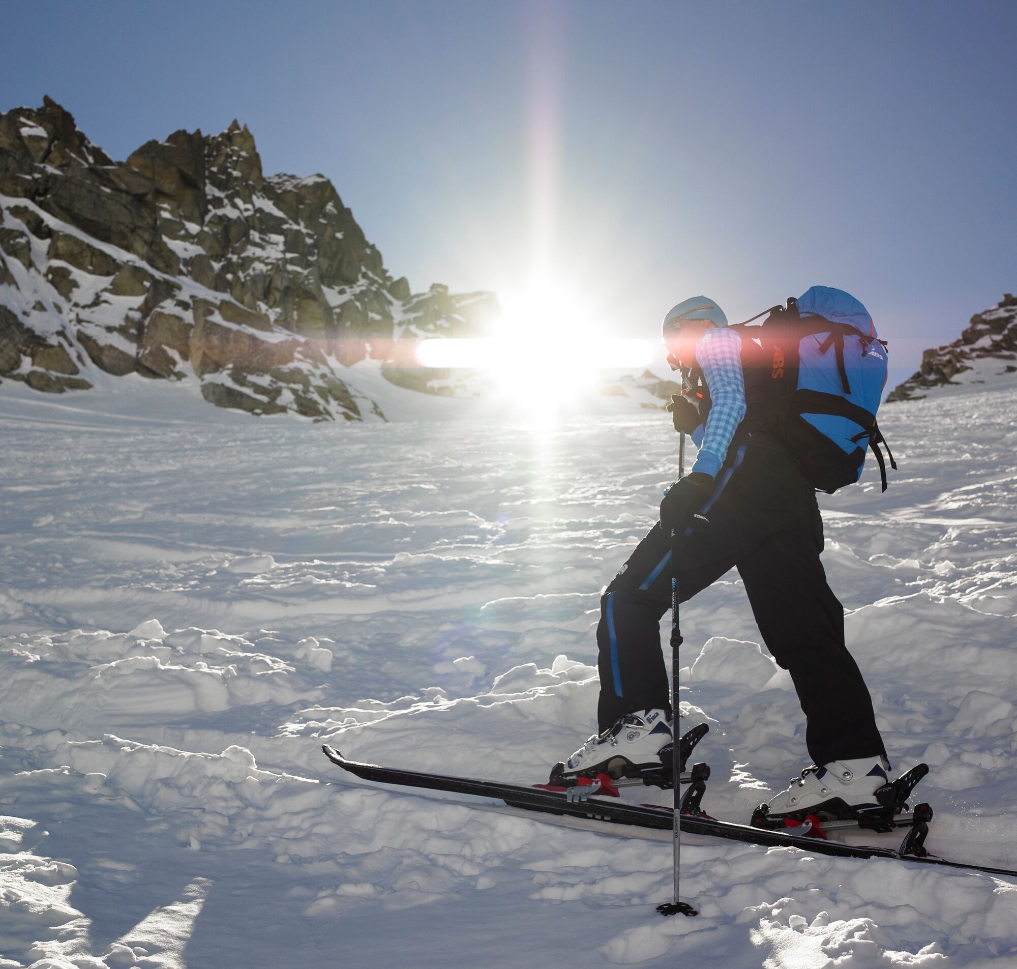
Ski touring equipment, skins, if necessary crampons, ski poles, ski helmet, avalanche equipment with transceiver, avalanche probe, and shovel, ski touring backpack (approx. 30 liters) with avalanche airbag and rain cover, ski touring boots, ski socks, warm and durable clothing in layers, ski touring jacket and pants, light gloves for ascent, warm gloves for descent, hat/headband, if necessary ski goggles, sun and rain protection, provisions and drinking water, thermos flask with hot drink, first aid kit, pocket knife, mobile phone, headlamp and reflectors, map material, bivy sack and rescue blanket
EMERGENCY CALL:
144 Alpine emergencies Vorarlberg
112 European emergency number (works with any mobile phone if any network is available)
www.vorarlberg.travel/sicherheitstipps
Avalanche report:
https://warnung.vorarlberg.at/vtgdb/dist/index.html#//lwd_lagebericht_de.html
The ski tours take place in open terrain. The tour is at your own risk.
Coming from Bludenz, take the Bludenz/Montafon motorway exit and follow the L188 into Montafon to Partenen. On the right side is the valley station of the Vermuntbahn, with which you reach the Silvretta-Bielerhöhe.
www.google.at/maps
Just leave your car standing
The regional buses of the Montafonerbahn operate throughout Montafon. The main lines run hourly from Schruns station.
From Schruns station, you can take bus line 650 to Partenen. The stop is: Partenen "Bergbahnen". From here you can get up to Silvretta-Bielerhöhe by Vermuntbahn and tunnel bus.
For the return trip:
Take the tunnel bus and Vermuntbahn back down to the valley, Partenen. From there, you can take bus line 650 back to Schruns station.
Arrival by train:
The Montafonerbahn runs hourly (sometimes every half hour) from Bludenz station. There are also direct connections from Lindau (D) and from Bregenz.
Free of charge at the valley station of the Vermuntbahn in Partenen
No liability can be assumed for the accuracy of the information. Ski tours in alpine terrain are always at your own risk.
Splitboard not recommended!
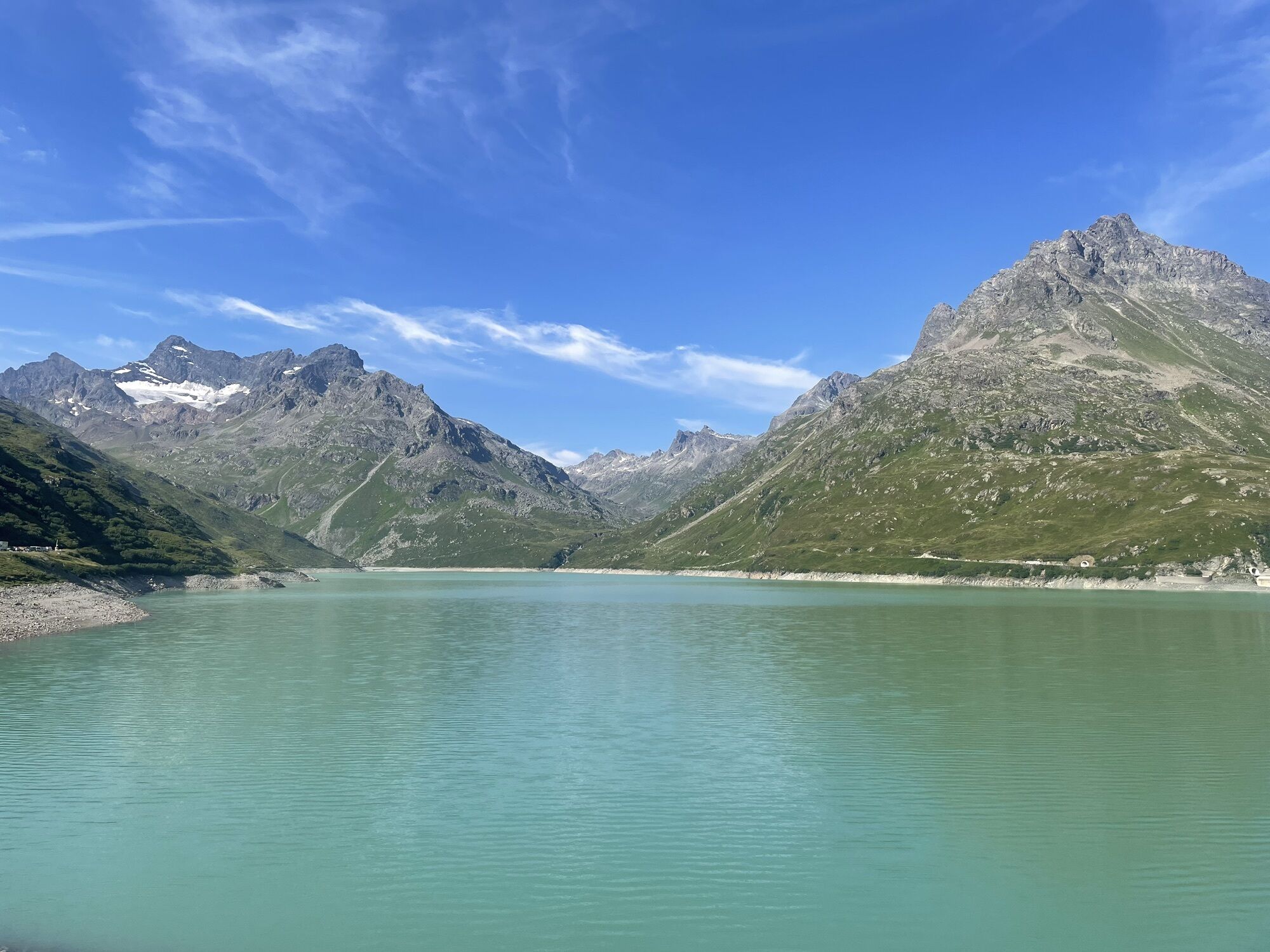
On the way back to Silvrettasee, you can take the drag lift, which is located below the dam wall (lunch break from 12:00 to 13:00), back to the starting point.
It is always recommended to do tours in open terrain with experienced mountain guides. You can find guided ski tour experiences here.
 Uzyskaj wgląd
Zawsze na żywo z ponad 9 500 kamer internetowych. bergfex Jako użytkownik Pro, możesz teraz zobaczyć odpowiednie kamery internetowe dla wielu wycieczek w aplikacji wycieczki od. Pozwala to na bezpośredni podgląd aktualnych warunków.
Uzyskaj wgląd
Zawsze na żywo z ponad 9 500 kamer internetowych. bergfex Jako użytkownik Pro, możesz teraz zobaczyć odpowiednie kamery internetowe dla wielu wycieczek w aplikacji wycieczki od. Pozwala to na bezpośredni podgląd aktualnych warunków.
Popularne wycieczki w okolicy
-
4,8
Hiking trail Piz Buin - view
średniWędrówka 14,4 km -
4,6
Madrisella summit path
średniTrasa tematyczna 10,8 km -
4,8
Heilbronner lodge
średniWędrówka 13,0 km -
4,8
Madrisella via ferrata
ciężkiVia ferrata 8,52 km -
5,0
Wiegensee-Kopssee
średniWędrówka 8,17 km -
5,0
Menta Alm - Scheibenalm
światłoWędrówka 11,4 km -
3,2
Bielerhöhe and circular hike around the Silvretta reservoir
średniWędrówka 13,1 km -
5,0
Rundwanderung Berglisee, Mathon
ciężkiWędrówka 11,1 km -
4,6
Vom Kopssee zur Breitspitze Gemeinde Gaschurn, Vorarlberg/Österreich
średniWędrówka 12,5 km -
4,5
Sonnenkogel - Friedrichshafener lodge
średniWędrówka 13,2 km
Wędrówki i tropienie


Nie przegap ofert i inspiracji na następne wakacje
Twój adres e-mail została dodana do listy mailingowej.





