






Gargellner Windows Snowshoe Trail


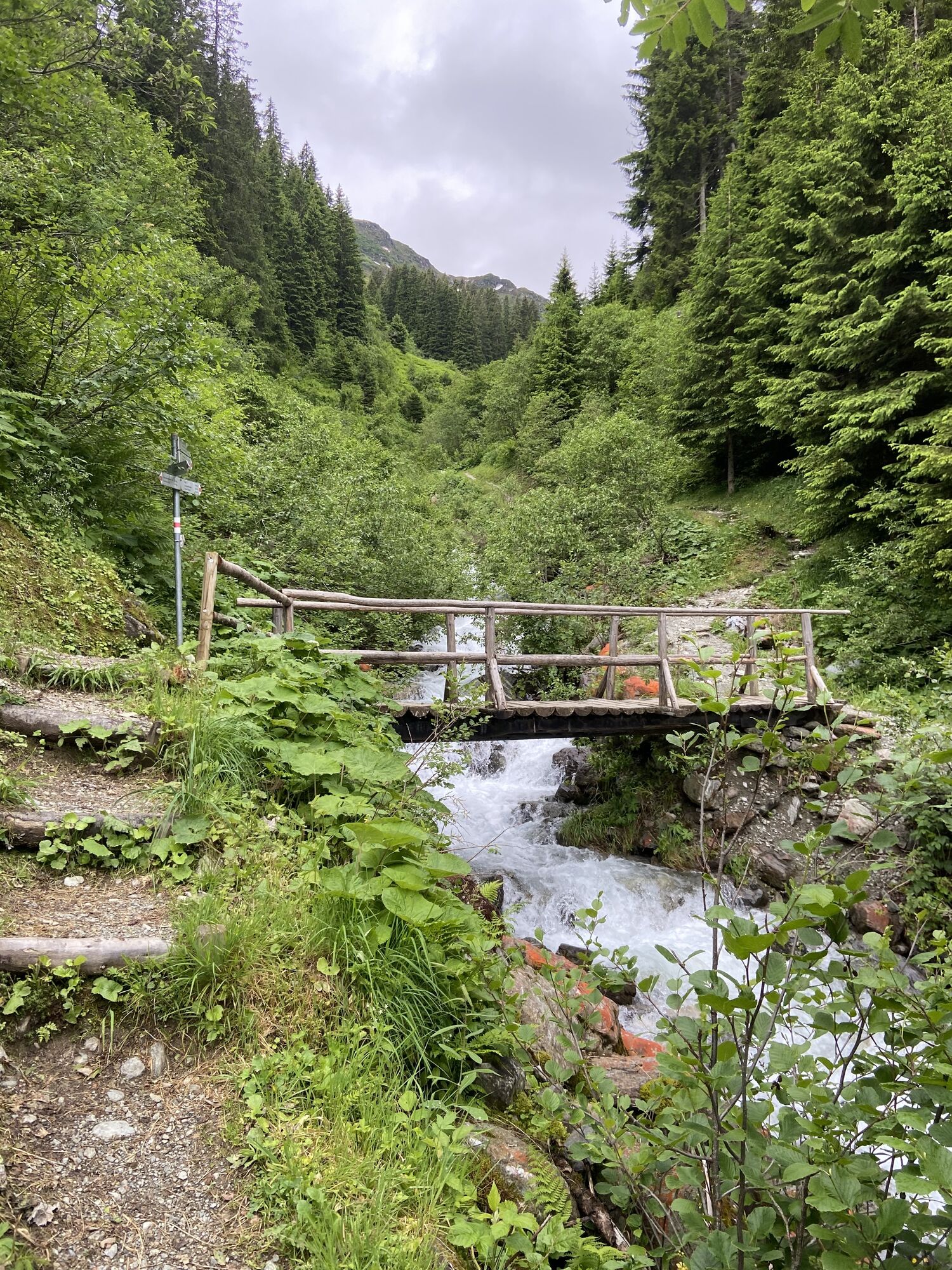
A CIRCULAR TRAIL WRITES HISTORY.
The Gargellner Windows are already known to many as a geological peculiarity, showing in the form of bright limestone rocks in an otherwise somewhat darker primary rock...
A CIRCULAR TRAIL WRITES HISTORY.
The Gargellner Windows are already known to many as a geological peculiarity, showing in the form of bright limestone rocks in an otherwise somewhat darker primary rock massif. The newly initiated "Gargellner Windows" project, however, is intended to go far beyond this. It mainly draws on the Gargellen memory and brings many interesting events from past times to light again. Thus, a multi-layered view of all epochs is to be created, making today's Gargellen holistically experienceable through an exciting journey through time. At all historically relevant places, "windows" opening insight and outlook are provided, allowing a mysterious look behind the scenes of this mysterious border region.
A WHOLE VILLAGE PITCHES IN.
As part of the "Mountain Village 2025" project and in preparation for the Gargellner Windows, the village has been working on its appearance together since May 2018. In a large-scale thinning operation, trees fell like beard stubble and Gargellen regained the face that reminds of brighter times. Another community action in May 2019 aimed at revitalizing and creating the "Gargellner Window Trail." Once again, the whole village pitched in and generations worked hand in hand to create something special together.
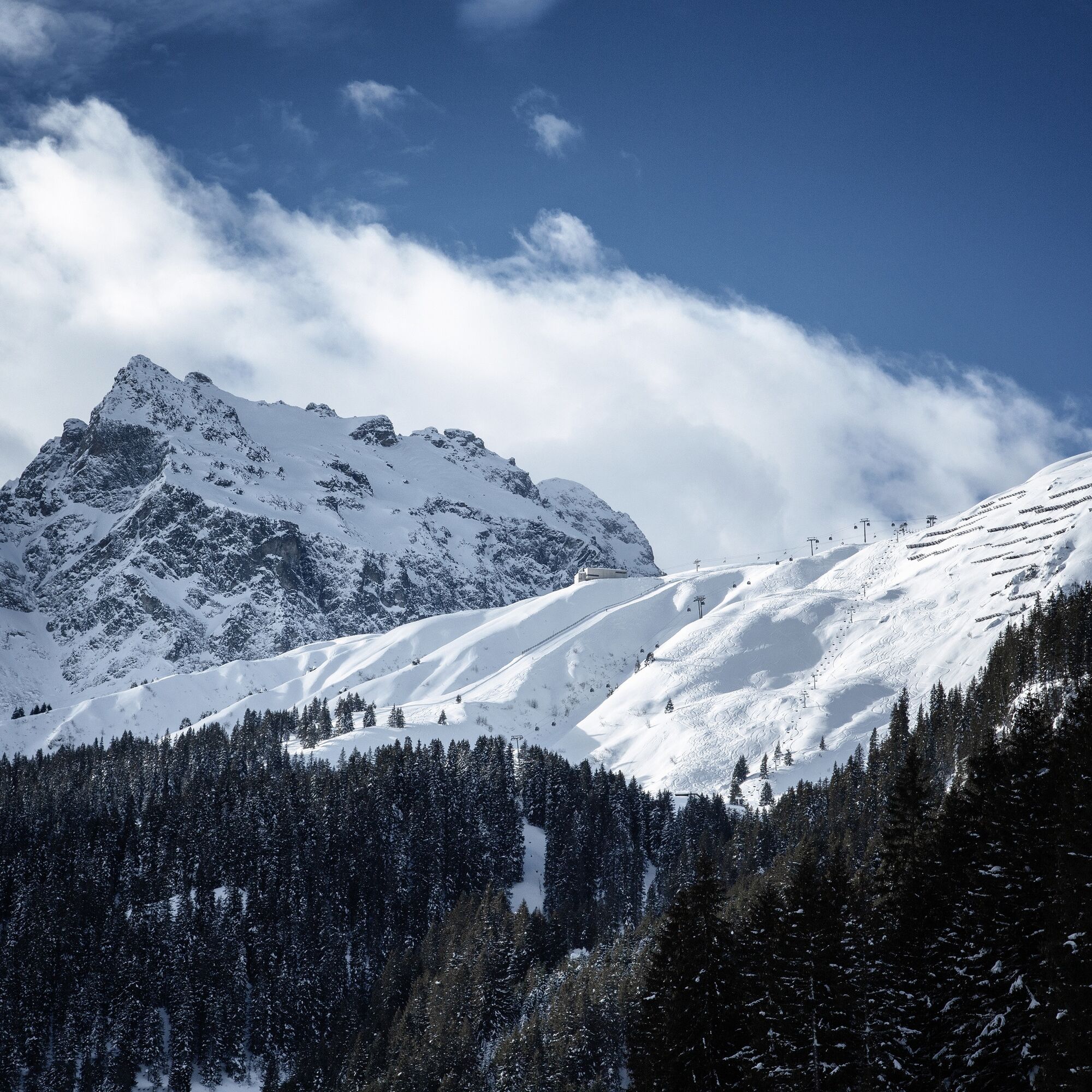
Along this snowshoe route, you will pass two of the total 10 Gargellner Windows and wander through the breathtaking winter landscape of Gargellen.

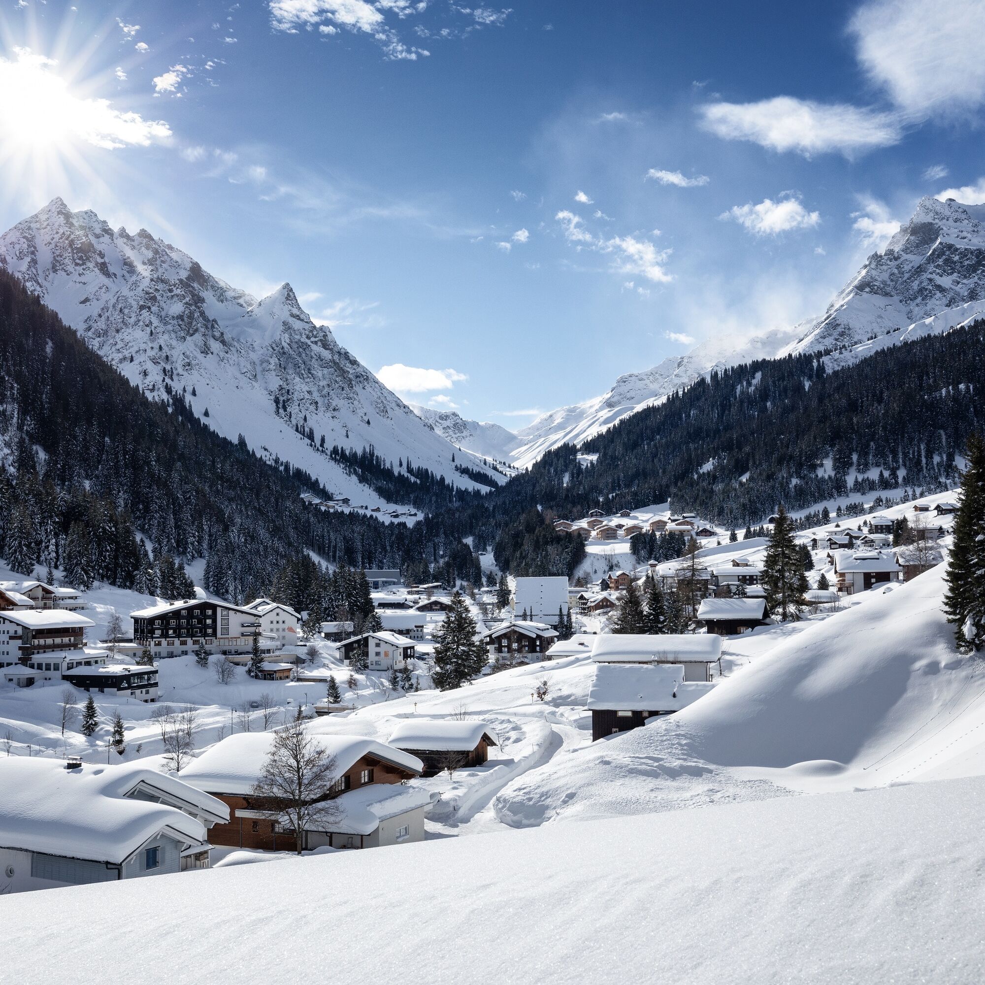

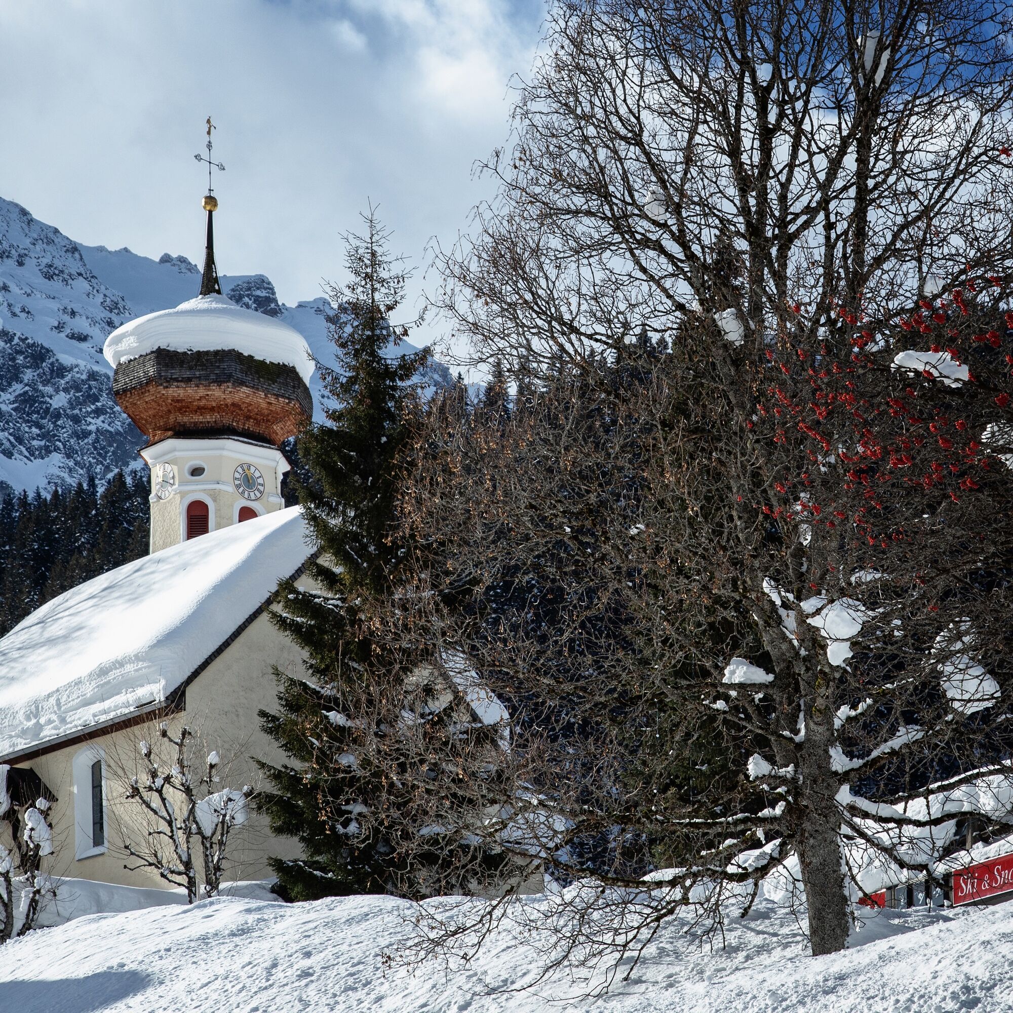
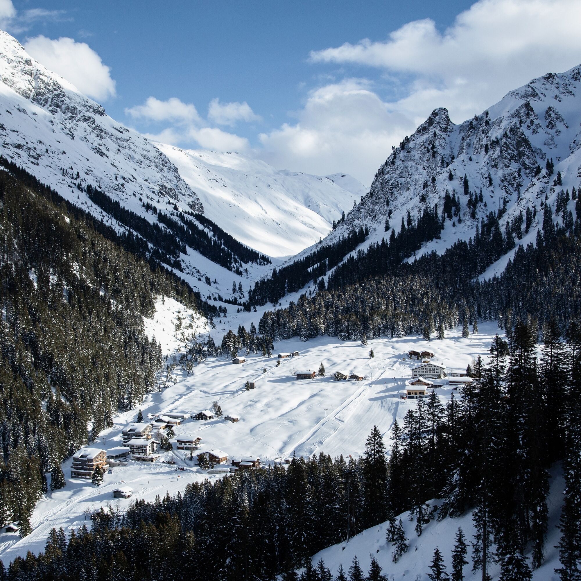

The Gargellner Windows snowshoe trail starts at the bus stop at the parking lot of the Gargellen mountain railways. From there, it leads across the street on an old mule track past the Landal holiday park towards the Schwefeltobel. At Schwefeltobel (ski slope) the route turns sharply left downhill. Above Landal, it then goes back to your starting point at the Schafbergbahn valley station.
Snowshoes, telescopic poles with large baskets, avalanche equipment with transceiver, avalanche probe and shovel, day hiking backpack (approx. 30 liters) with rain cover, if applicable with avalanche airbag, comfortable and waterproof winter shoes or sturdy hiking boots that fit into the snowshoe bindings, gaiters if necessary, warm and durable clothing in a multi-layer system, ski jacket and pants, hat/headband, scarf, gloves, ski goggles if needed, sun and rain protection, provisions and drinking water, thermos with hot drink, first aid kit, pocket knife, mobile phone, headlamp and reflectors if necessary, map material, bivy sack and rescue blanket
EMERGENCY CALL: 144
European emergency number: 112 (works with any mobile phone/network)
www.vorarlberg.travel/safety-tips
Avalanche report:
The snowshoe routes are in open terrain. Use is at your own risk.
Take the A14 to the Bludenz/Montafon exit and continue on Montafonerstraße L188 to St. Gallenkirch. There you turn right onto Gargellnerstraße and follow this to Gargellen up to the Gargellen mountain railways.
Just leave your car standing
The Montafonbahn regional buses run throughout the Montafon. Main lines run every half hour from Schruns station.
Bus stop at the start/finish of the route: Gargellen Schafbergbahn / Line 670
Timetable: www.vmobil.at
Arrival by train to Montafon
From Bludenz station the Montafonbahn runs hourly (partly every half hour). There are also direct connections from Lindau (D) and Bregenz.
Timetable: www.oebb.at
Parking spaces (paid) are located at the valley station of the Gargellen mountain railways.
This route is perfectly combinable with a ski day in Gargellen.
Kamery internetowe z trasy
Uzyskaj wgląd
Zawsze na żywo z ponad 9 500 kamer internetowych. bergfex Jako użytkownik Pro, możesz teraz zobaczyć odpowiednie kamery internetowe dla wielu wycieczek w aplikacji wycieczki od. Pozwala to na bezpośredni podgląd aktualnych warunków.
Popularne wycieczki w okolicy
-
5,0
Ski tour to the Lindauer Hut (1,744 m)
światłoWycieczka narciarska 14,0 km -
4,7
Smuggler’s path
średniTrasa tematyczna 8,60 km -
4,4
Golm-Rundwanderweg im Rätikon
średniTrasa tematyczna 7,28 km -
4,7
Over the historic mine and Fritzensee to Rellseck
średniWędrówka 7,25 km -
4,3
Golmerbahn Bergstaion Grüneck - Golmer Höhenweg - Geißspitze - Lindauer Hütte - Latschau
średniWędrówka 11,5 km -
4,5
Madrisella summit path
średniTrasa tematyczna 10,8 km -
4,9
Alpgues Runde
średniWędrówka 9,21 km -
3,0
Bergstation Grüneck Golmerbahn - Alpe Latschätz - Lindauer Hütte - Latschau
światłoWędrówka 11,1 km -
4,0
Golmer Höhenweg
średniWędrówka 13,8 km -
5,0
Wiegensee-Kopssee
średniWędrówka 8,17 km
Wędrówki i tropienie


Nie przegap ofert i inspiracji na następne wakacje
Twój adres e-mail została dodana do listy mailingowej.





