


Over the historic mine and Fritzensee to Rellseck

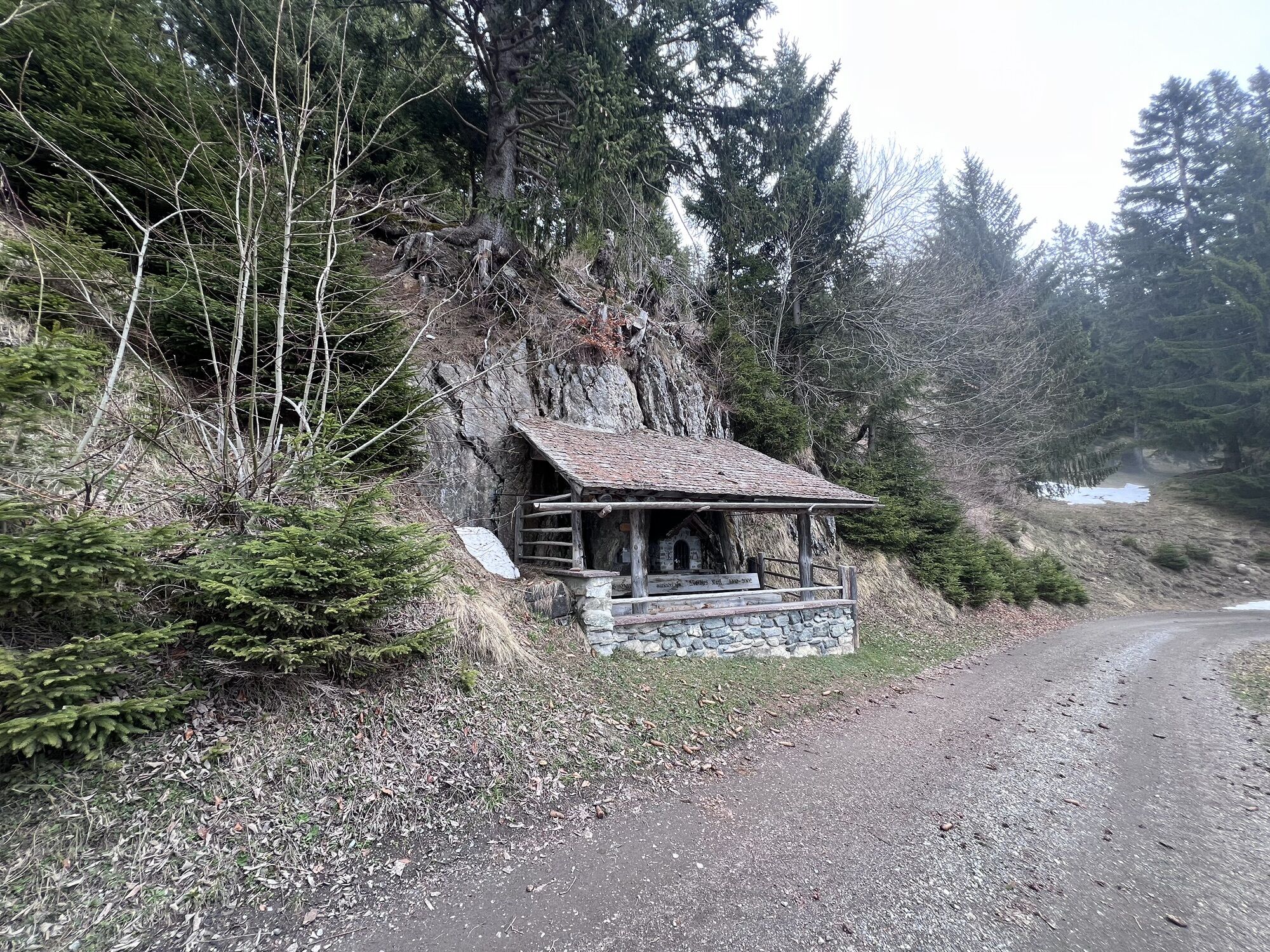

On this route, which starts at Bartholomäberg, the sun balcony of the Montafon, you move in historic terrain. On your route, you pass the St. Anna Tunnel. It is already more than 1,000 years old. During...
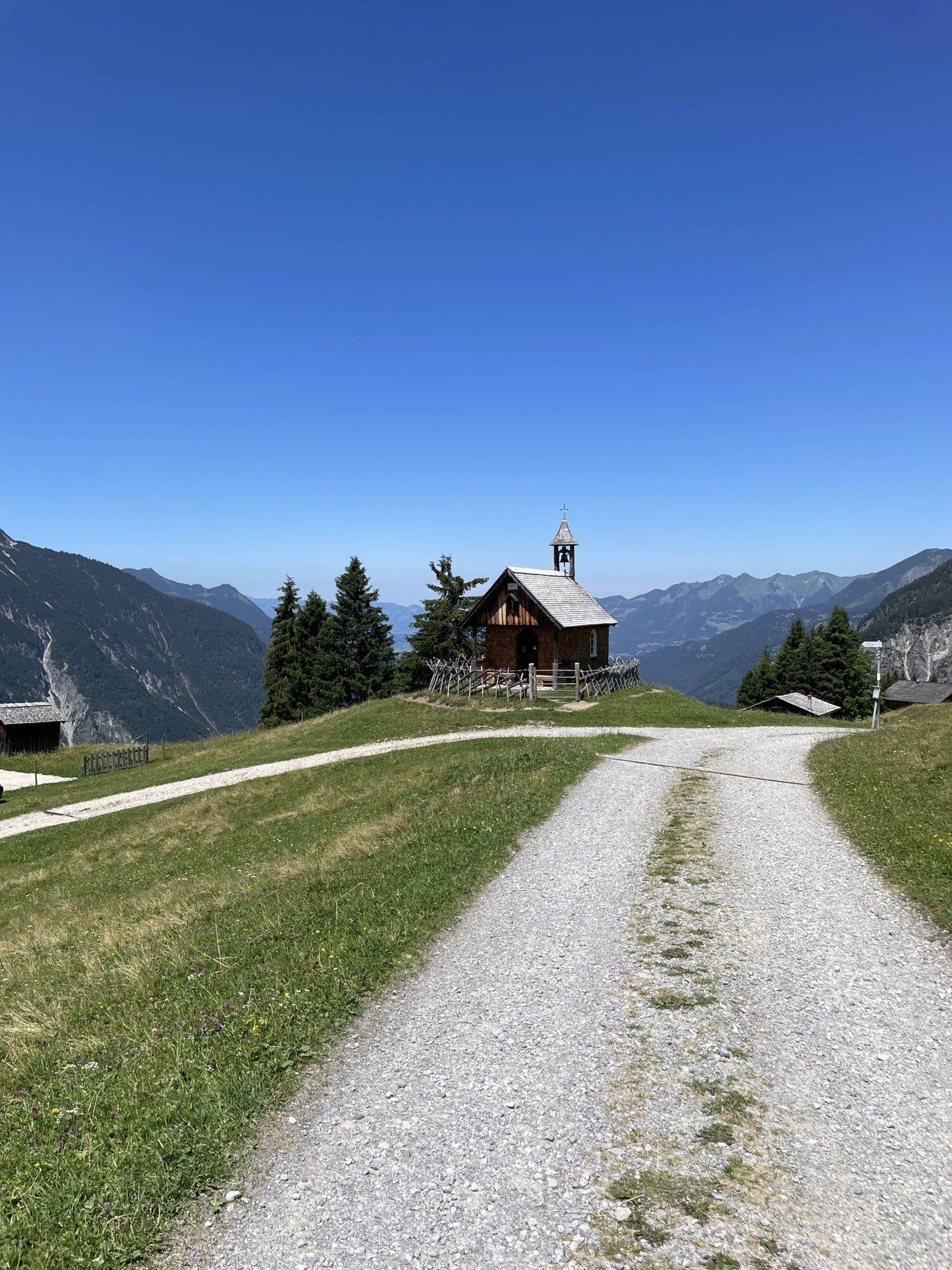
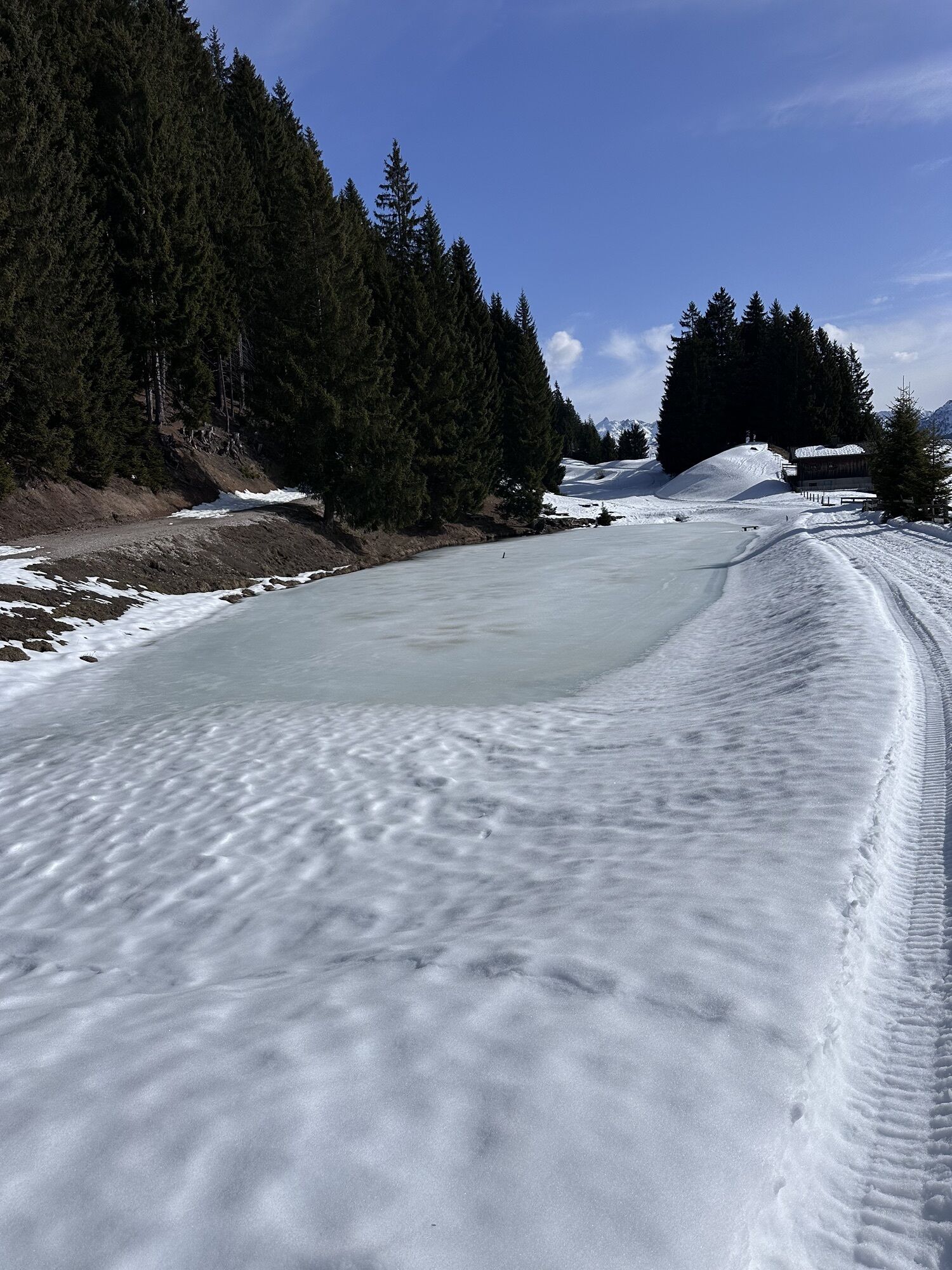
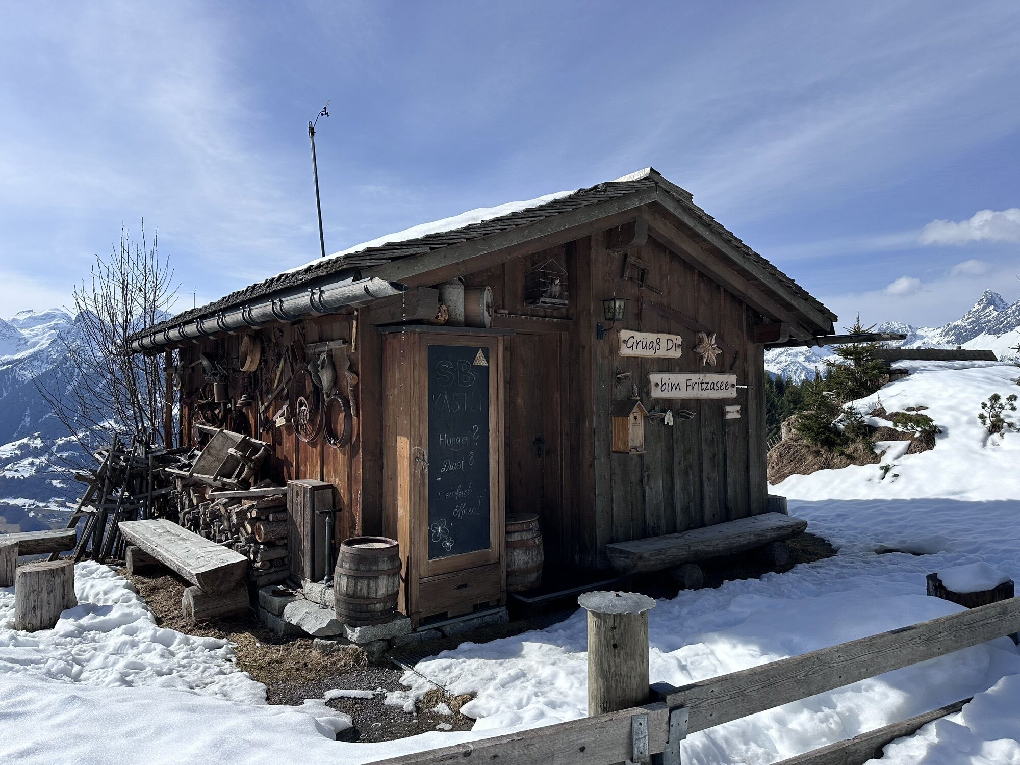
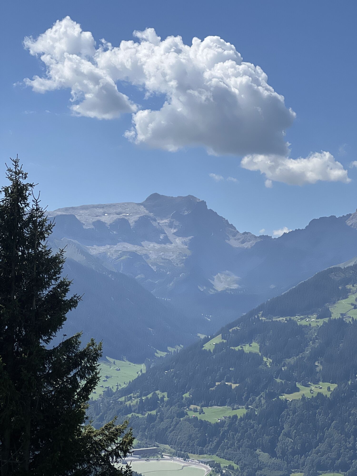
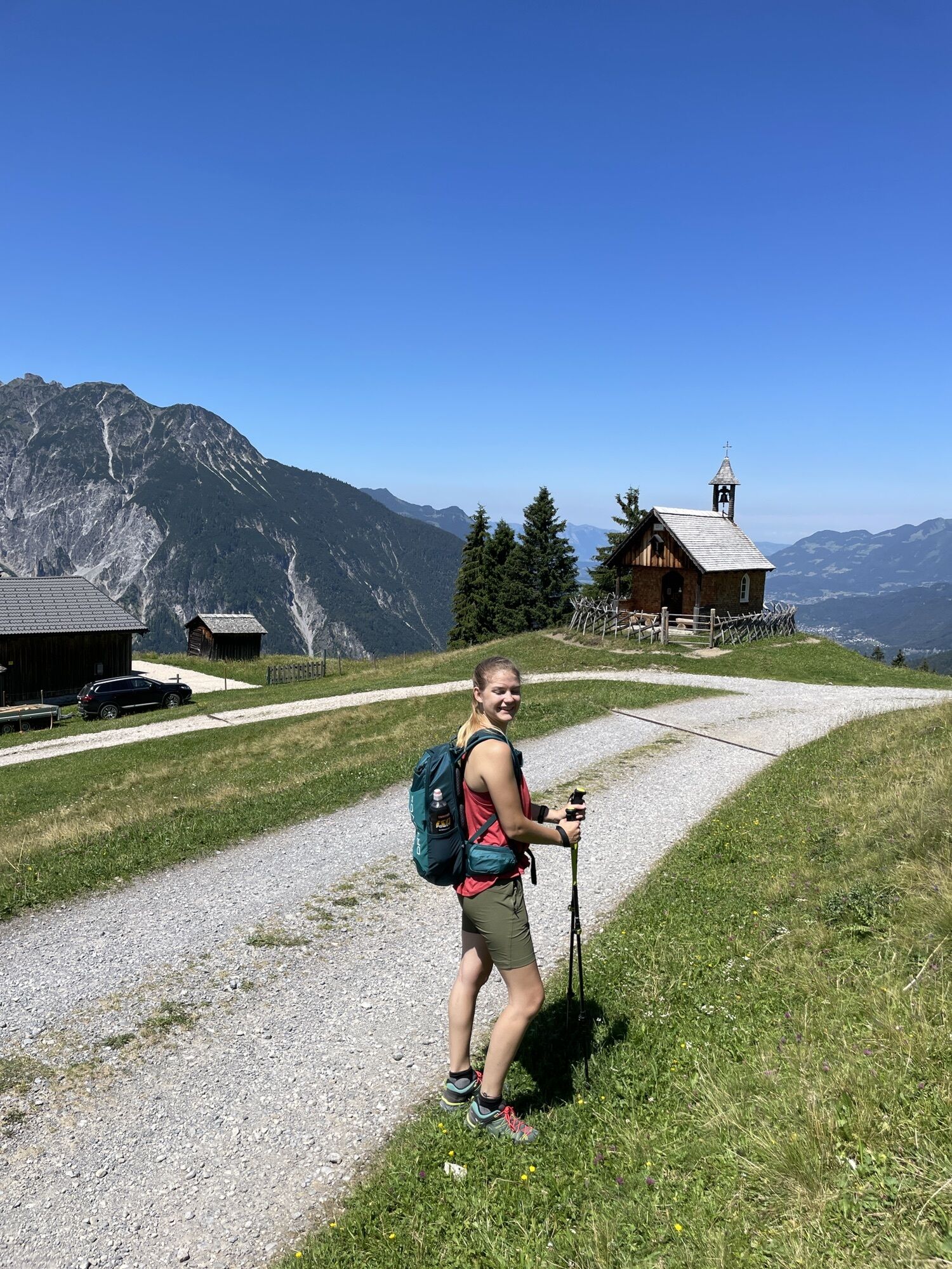
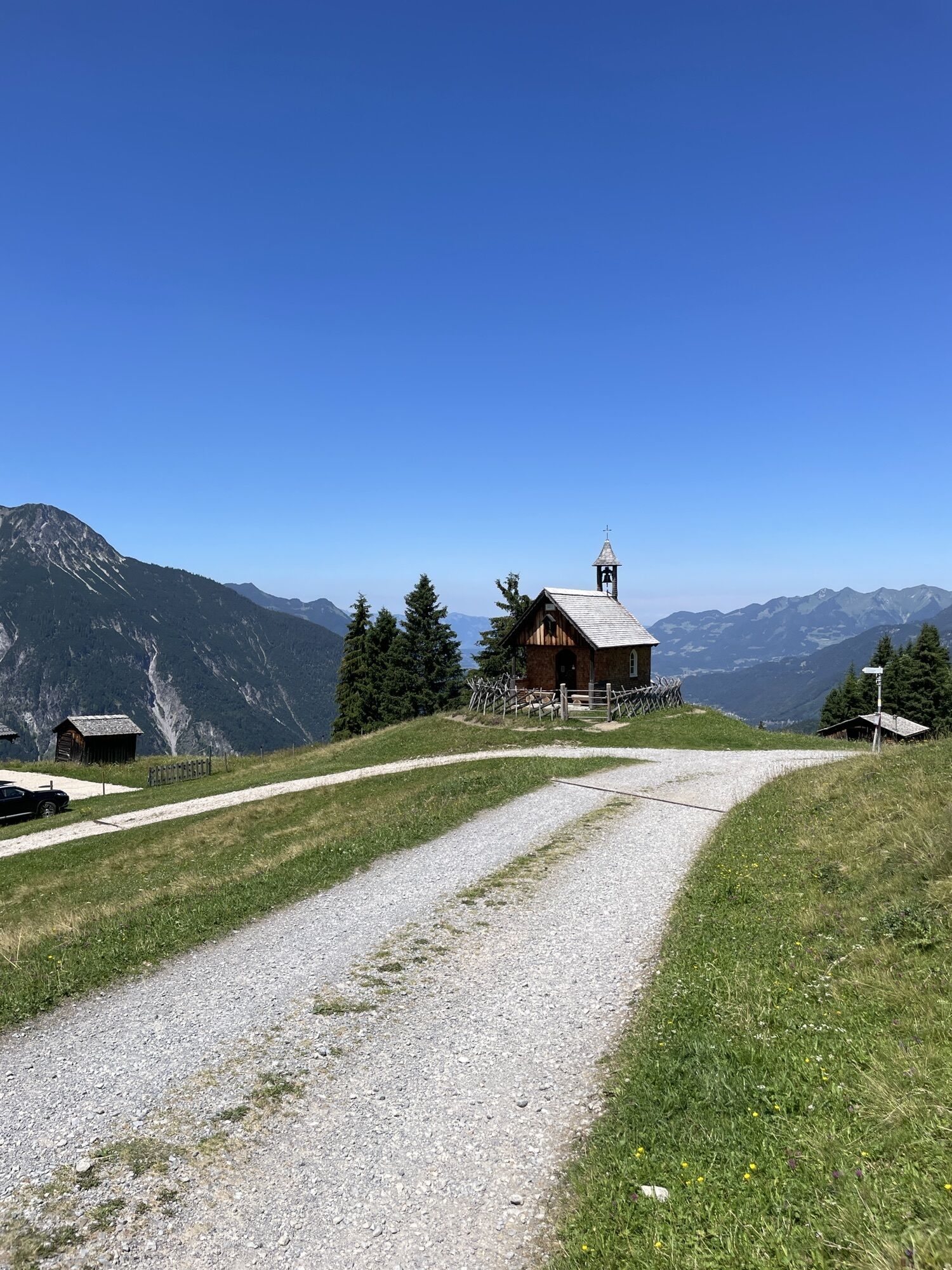
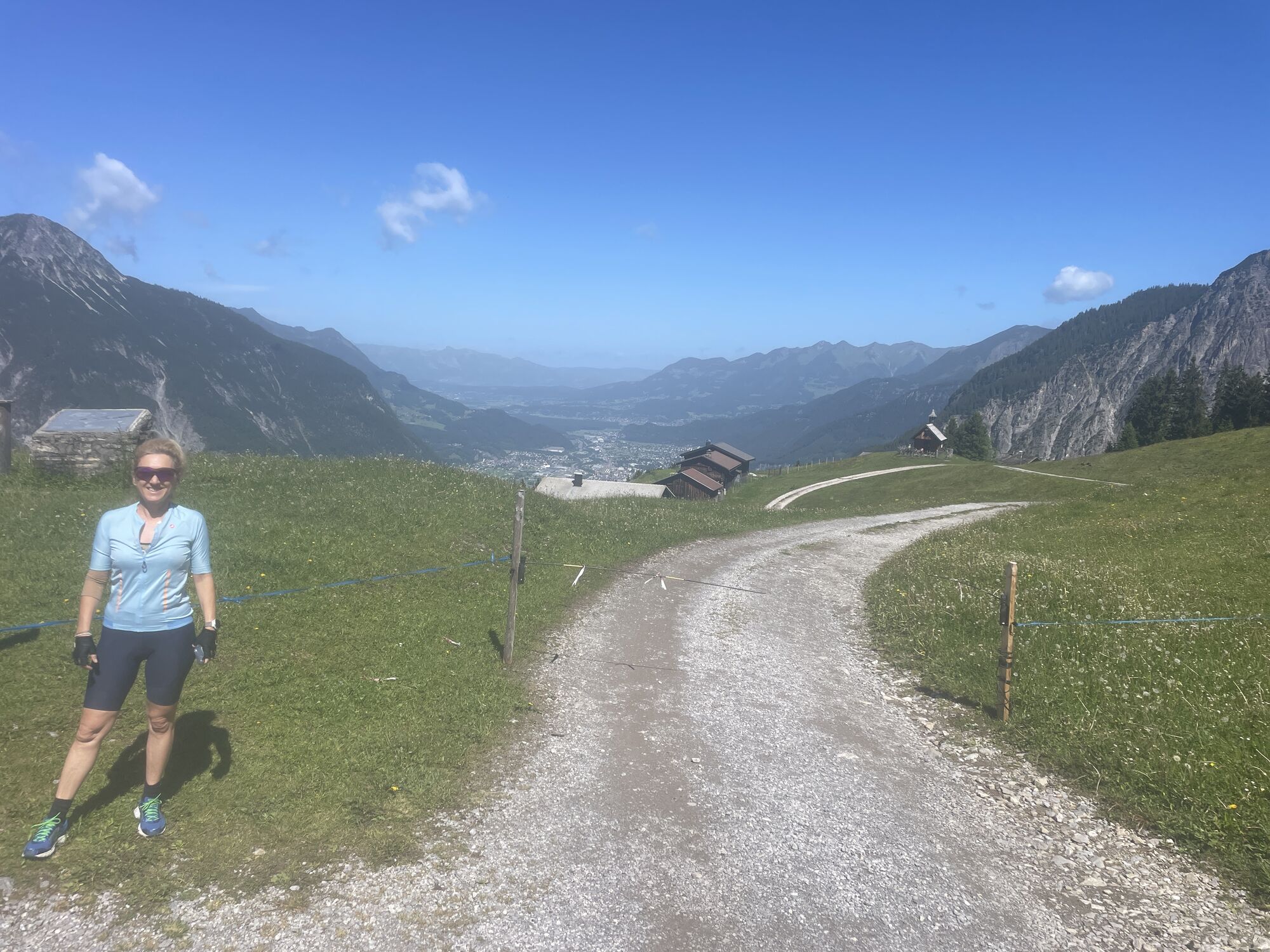
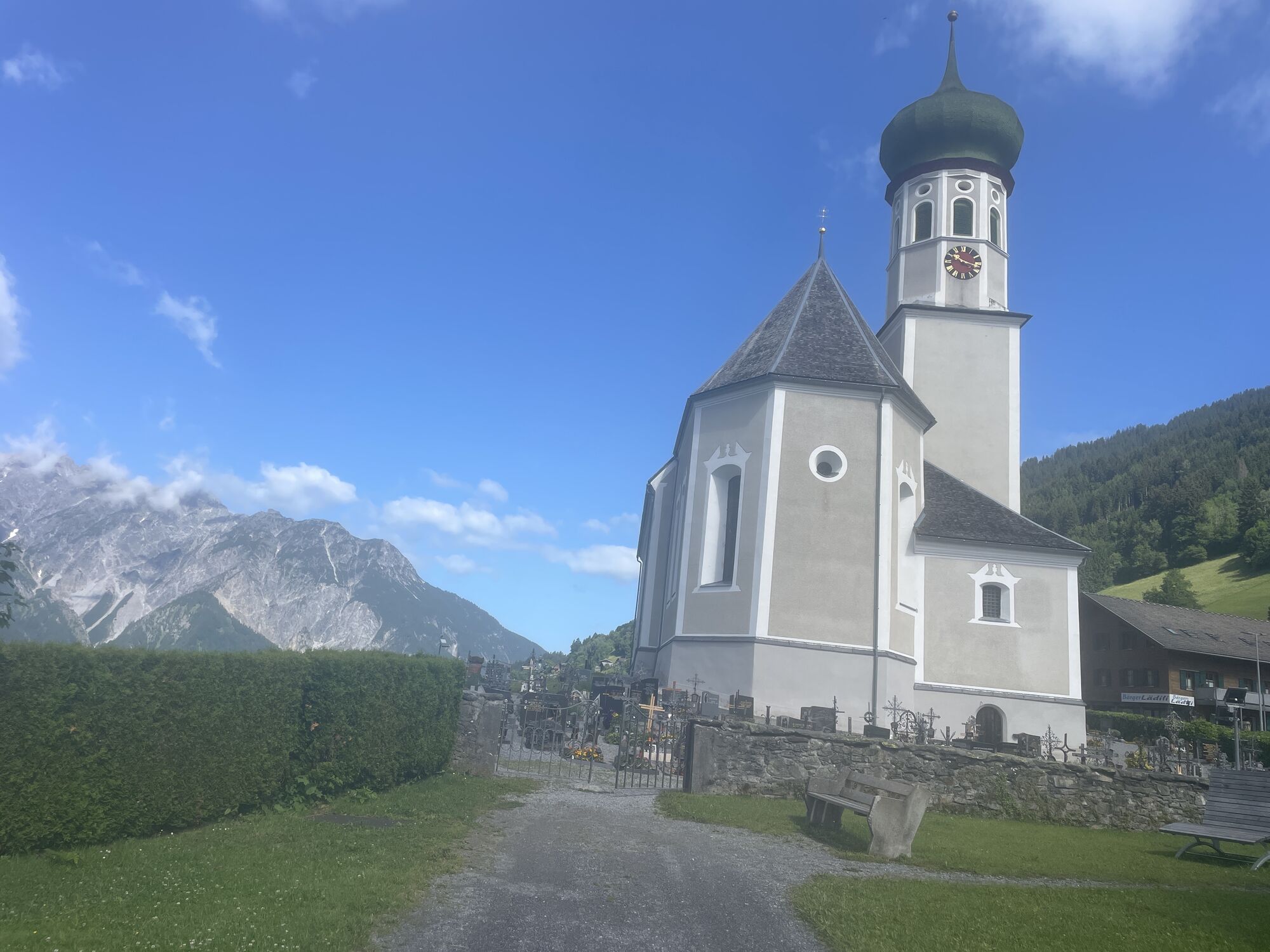
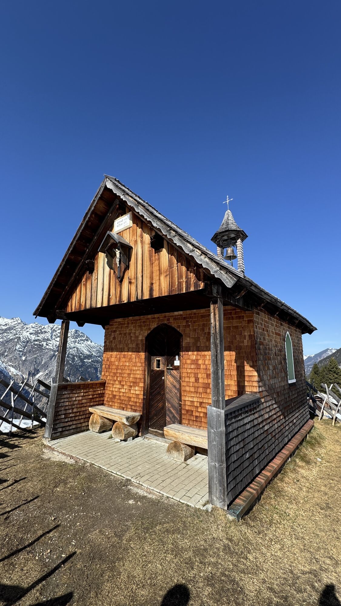
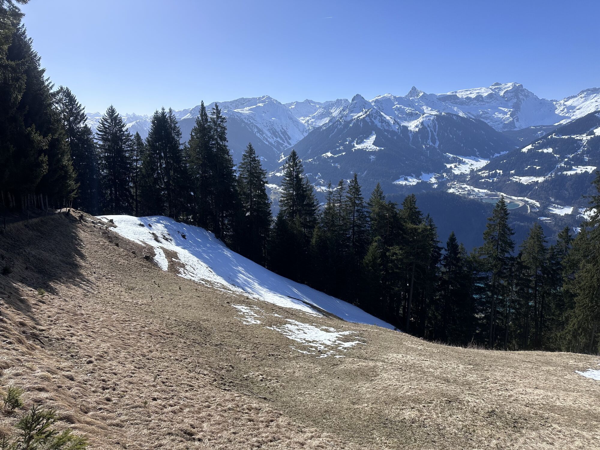
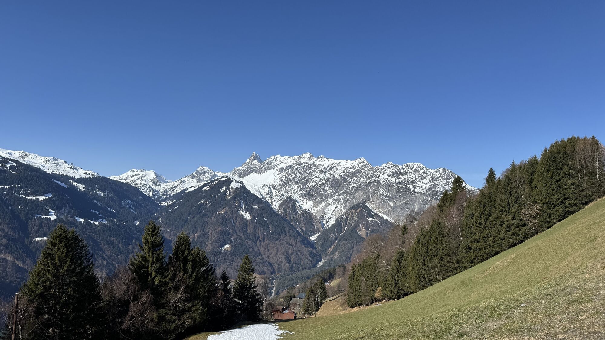
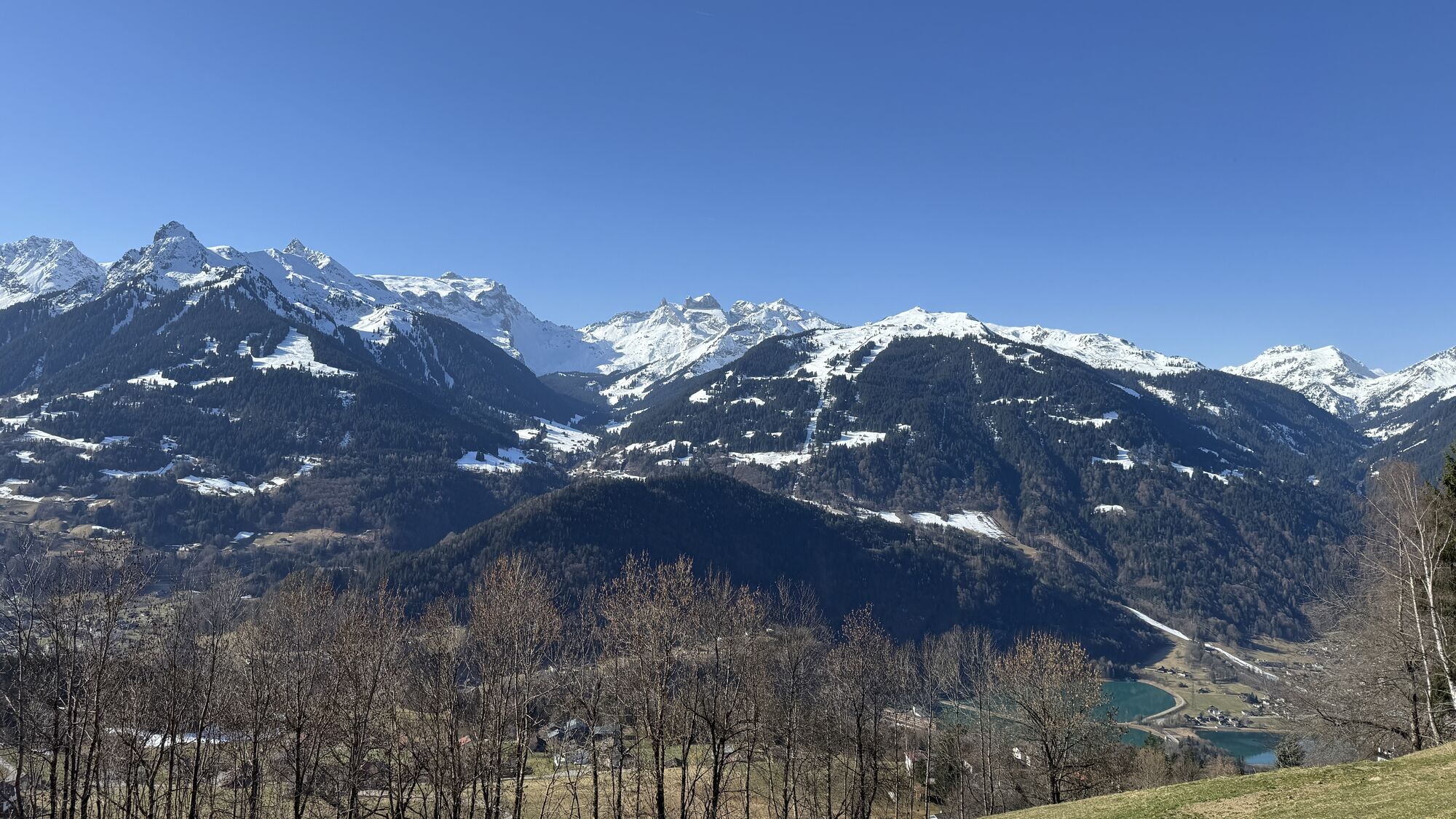
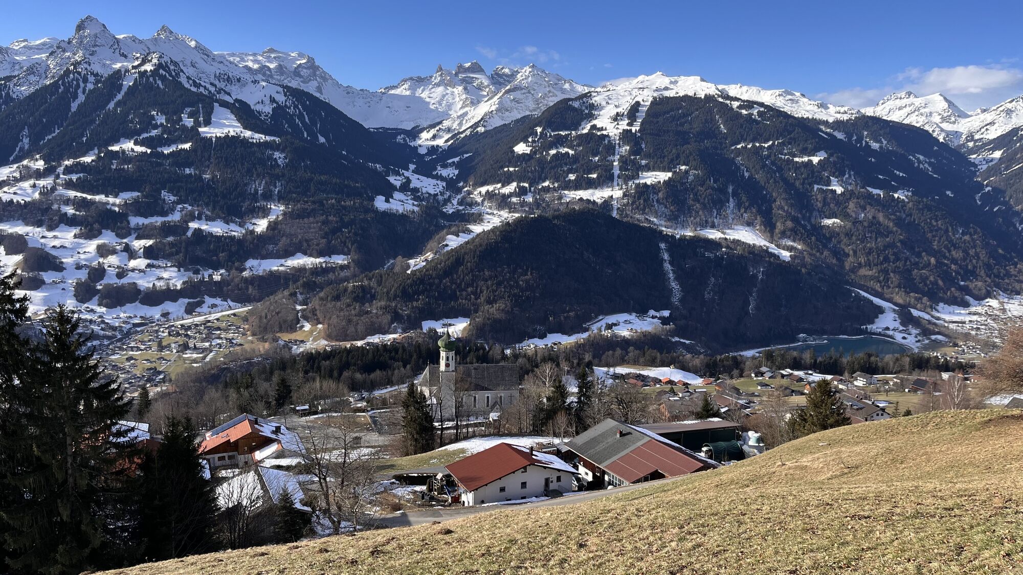
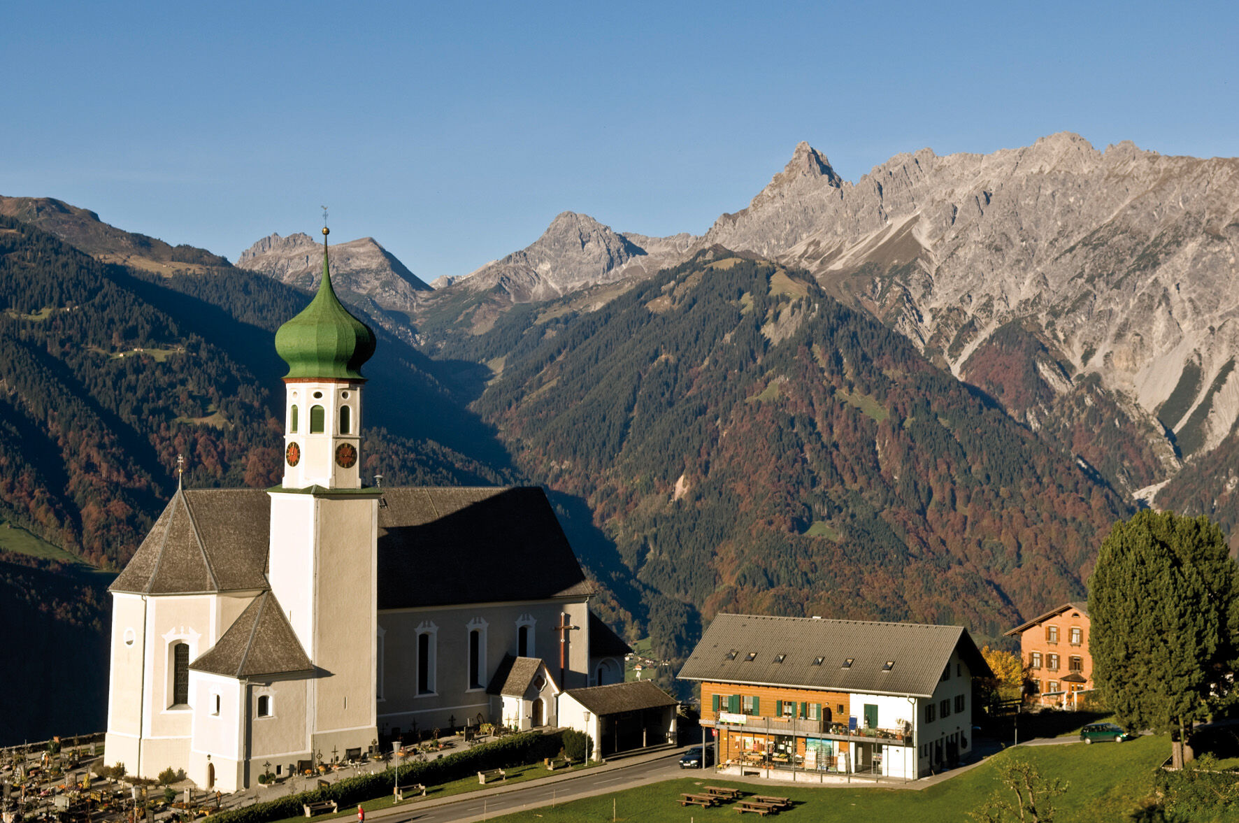
On this route, which starts at Bartholomäberg, the sun balcony of the Montafon, you move in historic terrain. On your route, you pass the St. Anna Tunnel. It is already more than 1,000 years old. During a guided tour, you have the opportunity to walk through it and descend up to 115 meters deep. Other highlights of this route are undoubtedly Fritzensee and Rellseck. The almost kitschy Fritzensee with its Maisäß settlement invites you to linger. If someone has a snack with them, there is hardly a better place to consume it. If you are not very hungry yet, Rellseck is also suitable for this. Both times you will be rewarded with a breathtaking view. At the beginning and at the end of your route, you have the opportunity to visit the oldest and impressive church at Bartholomäberg.

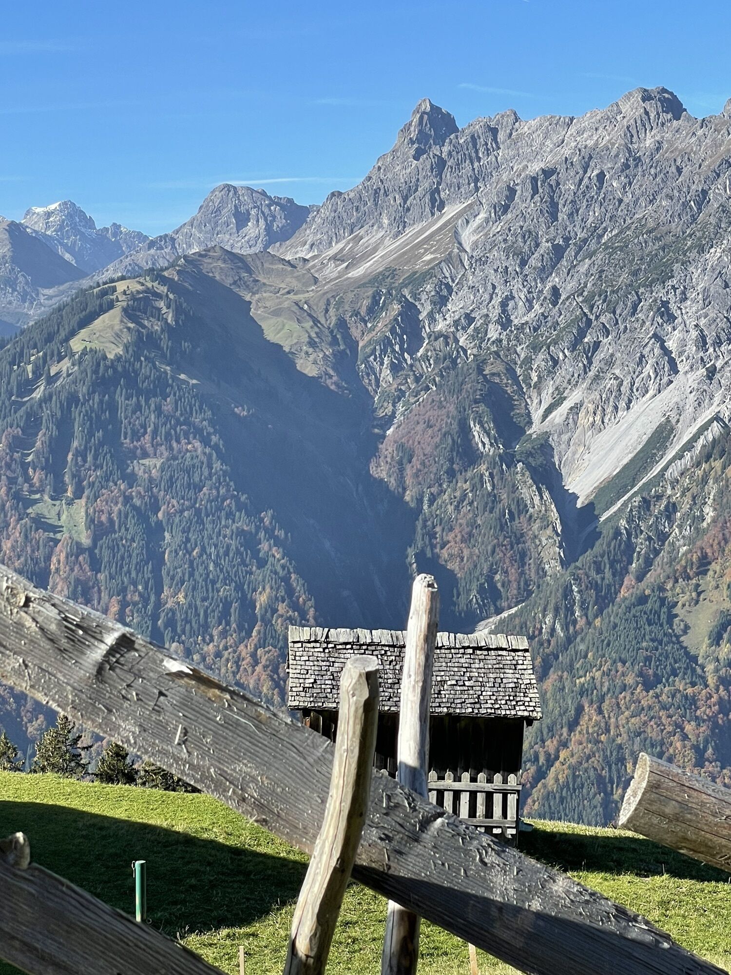
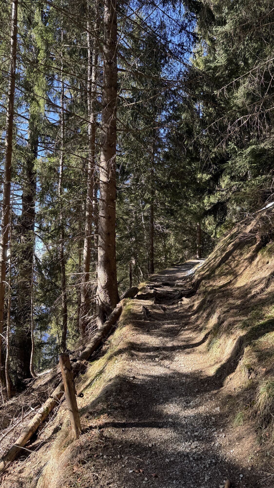
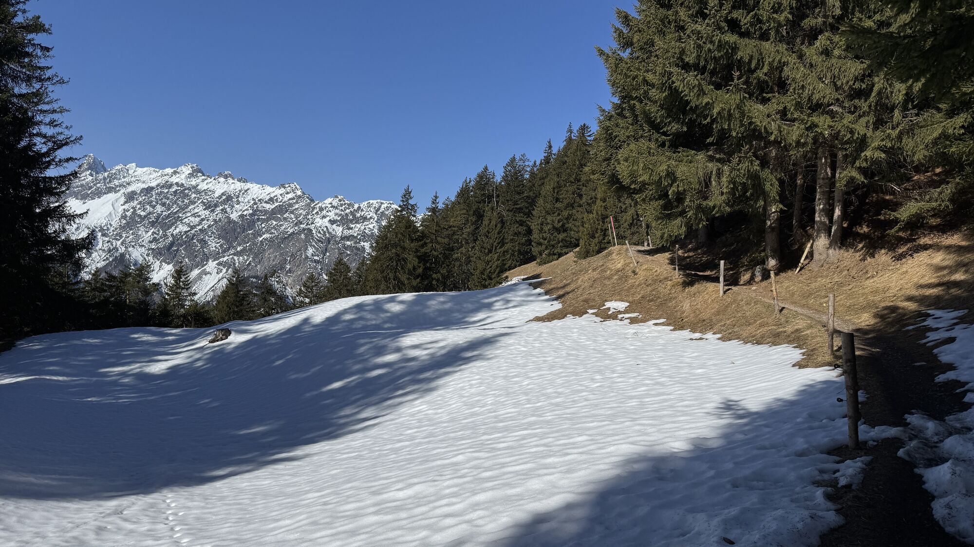
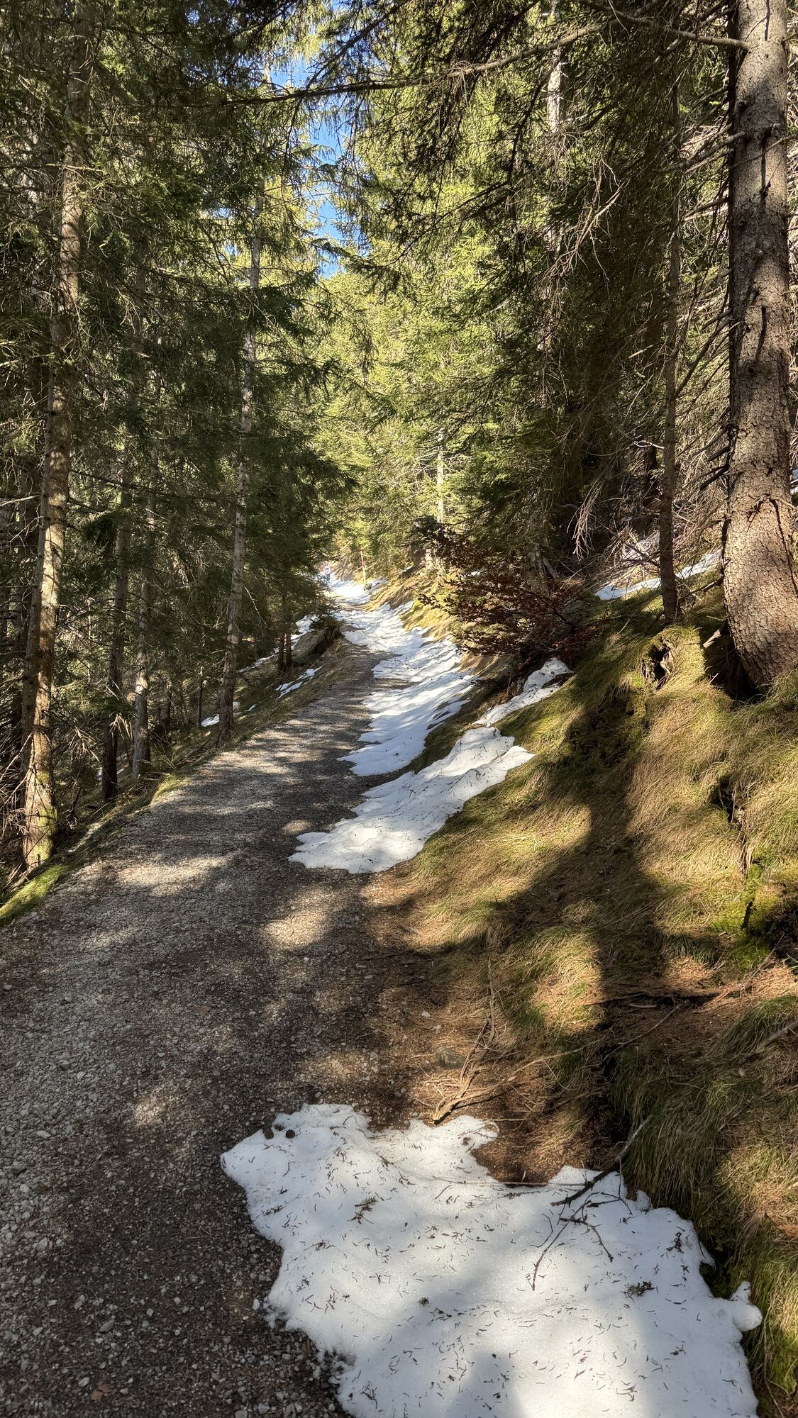
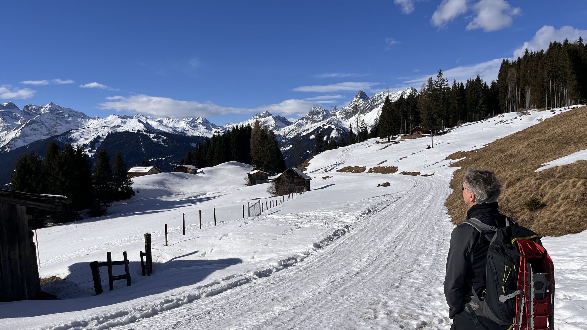
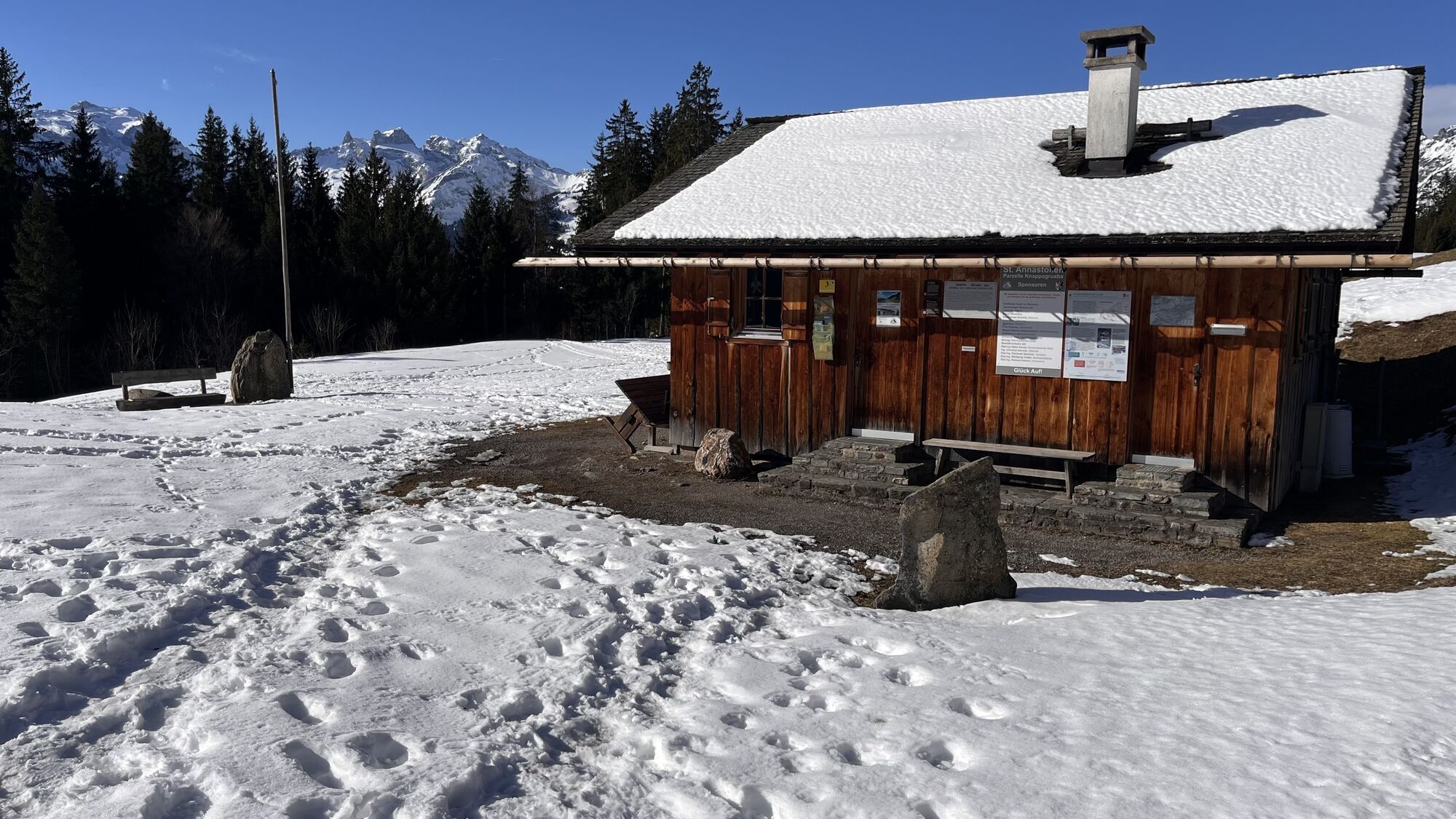
The start is the church at Bartholomäberg. (1087 m) Here also begins directly the first ascent towards the historic mine (the highlight of the route). Initially still on the paved road, after the third hairpin bend, you turn from Roferweg onto a hiking trail. This trail frequently crosses the paved road and finally leads you to the historic mine. When you reach the historic mine (1,320 m) after about 50 minutes, you have already completed the majority of the ascent.
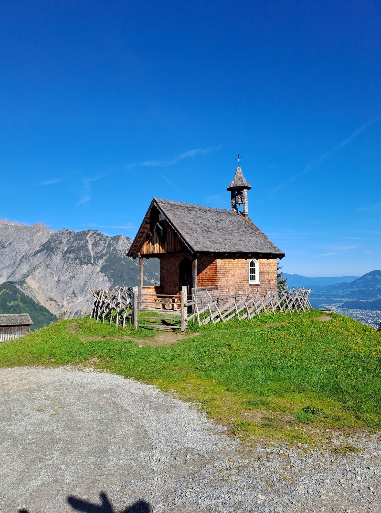
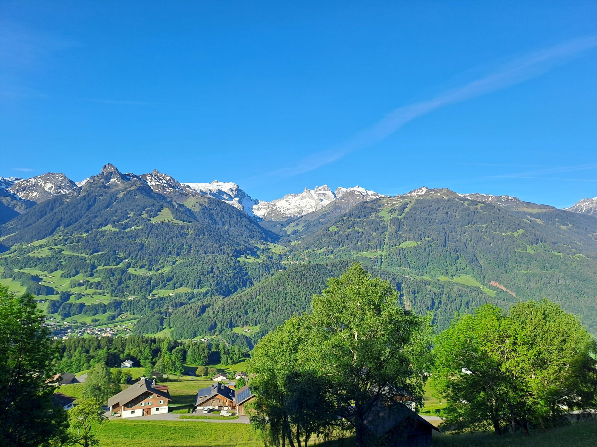
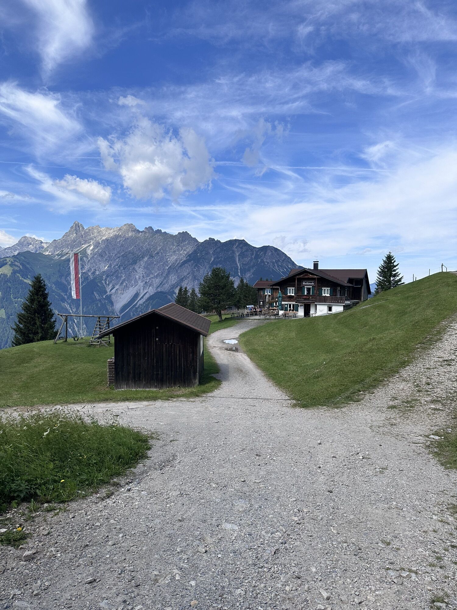
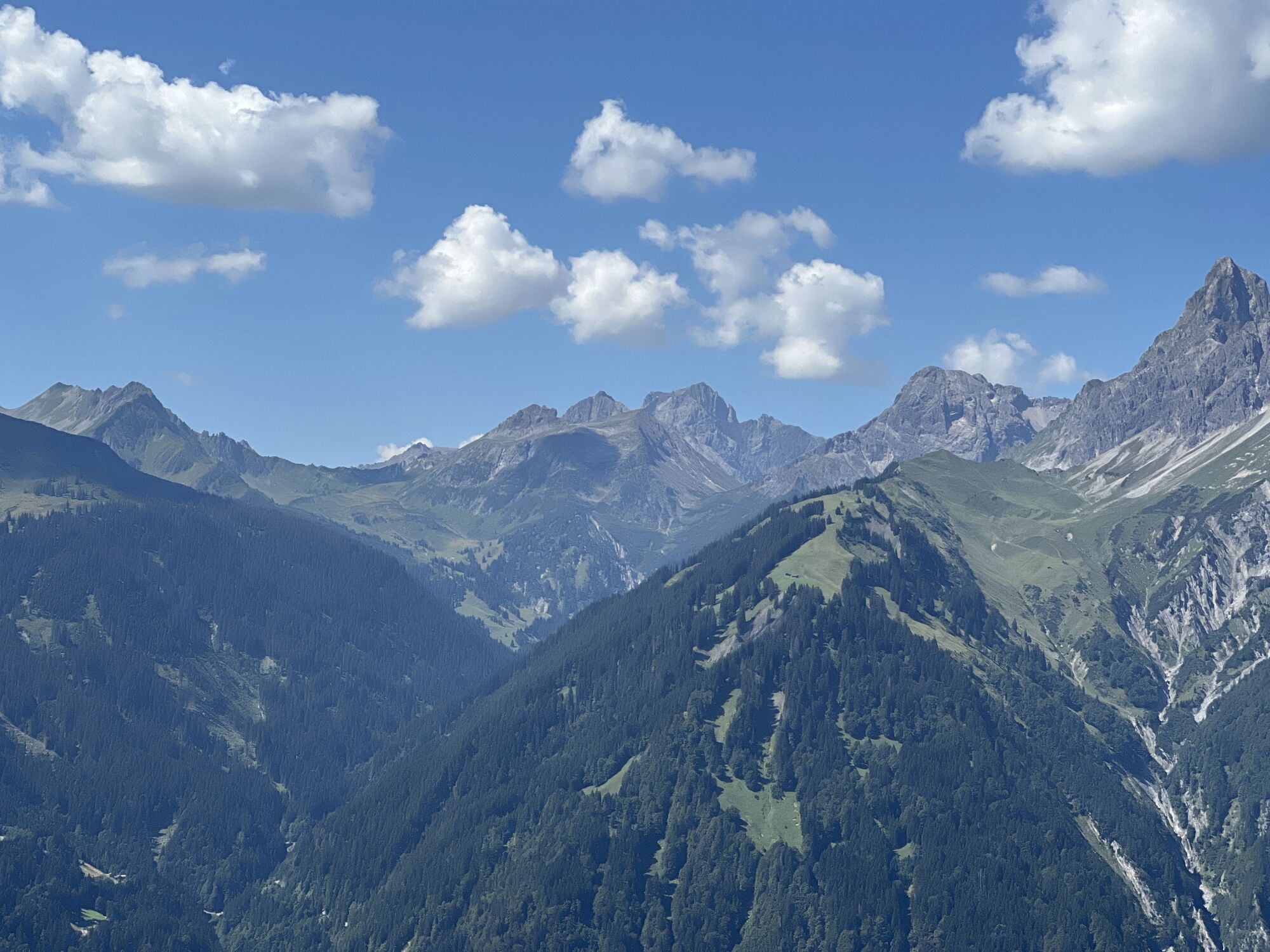
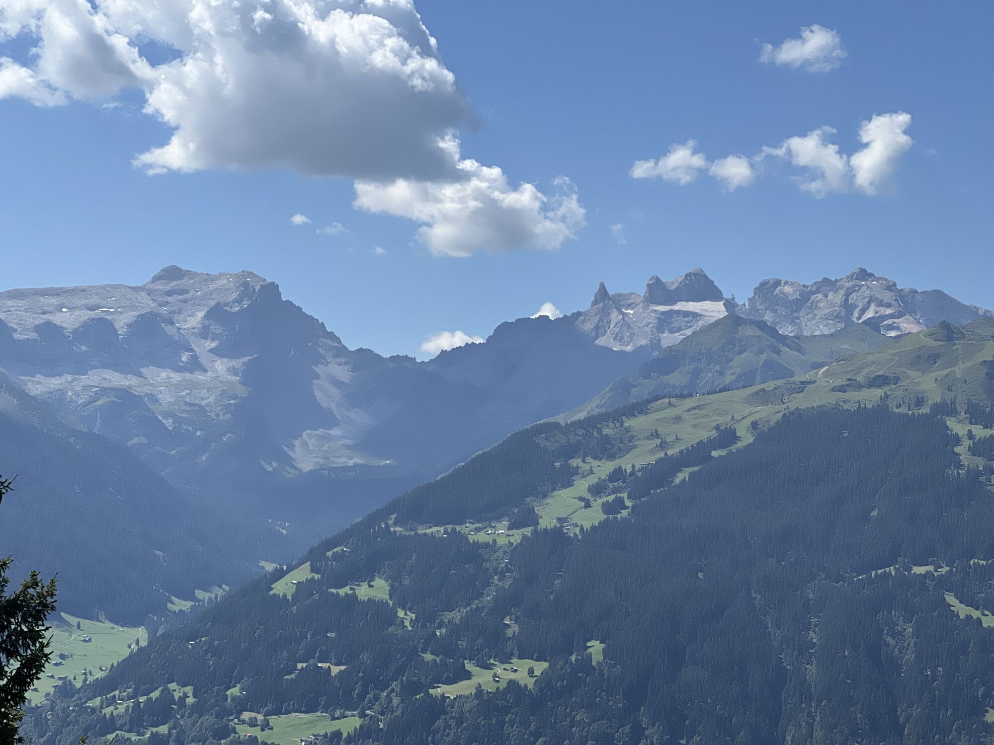
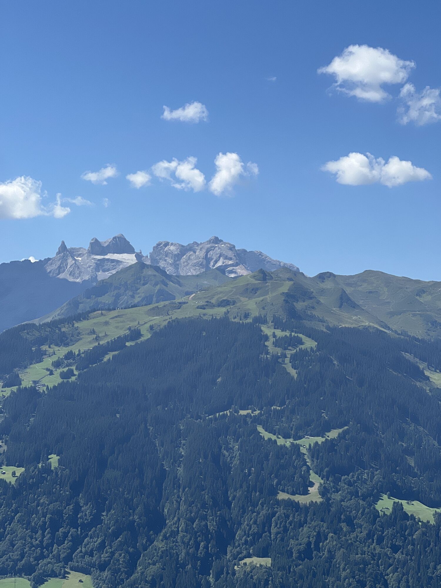
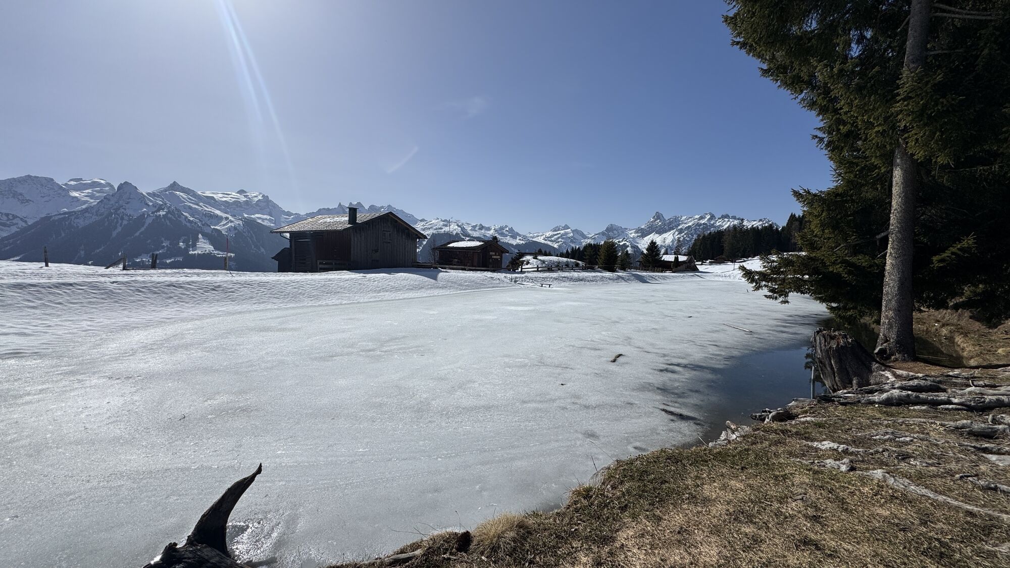
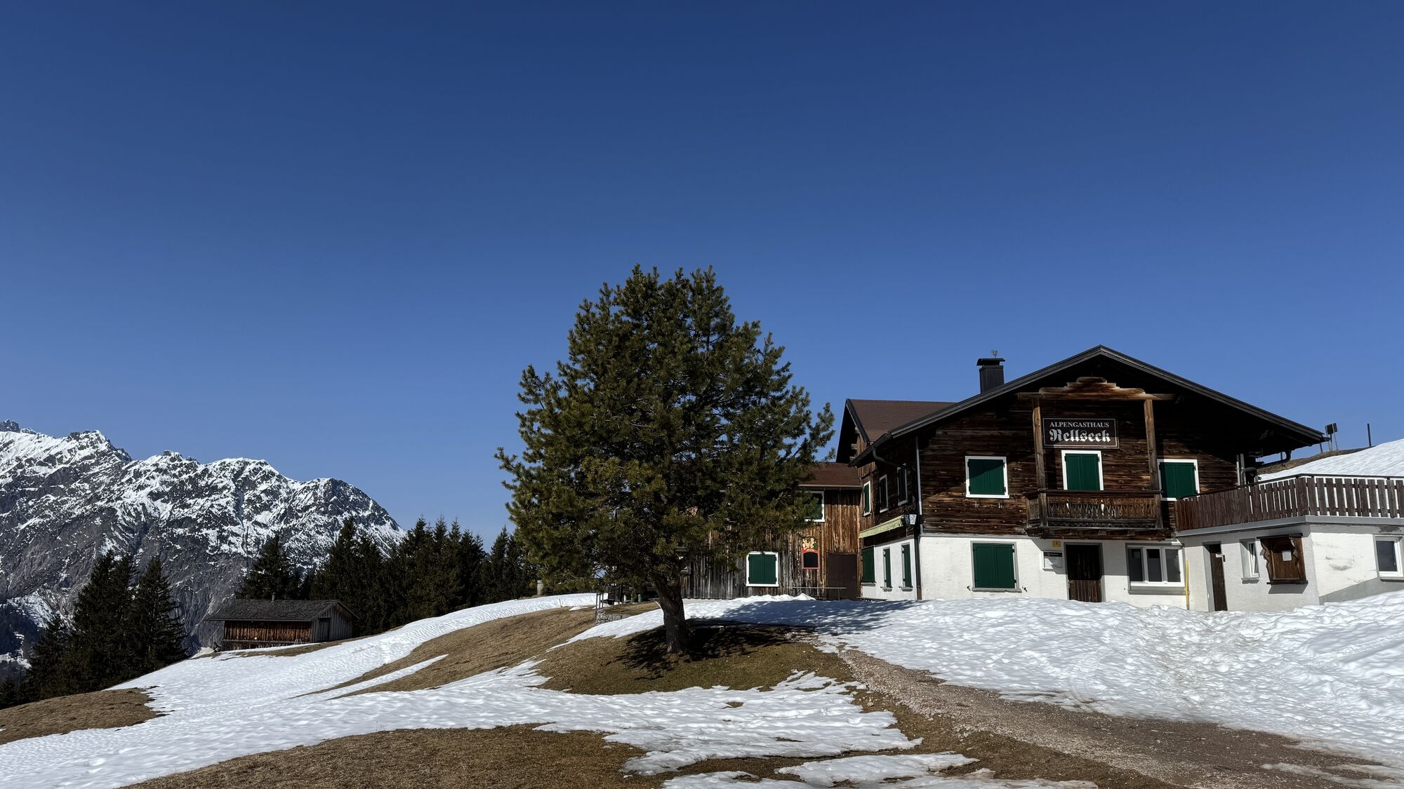
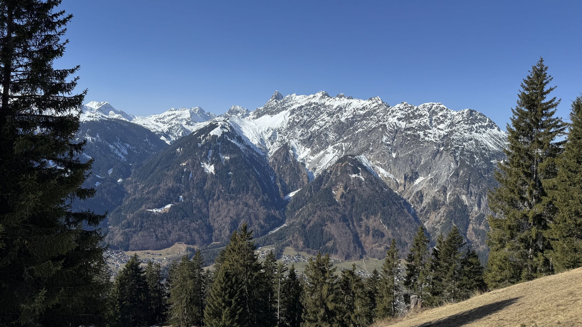
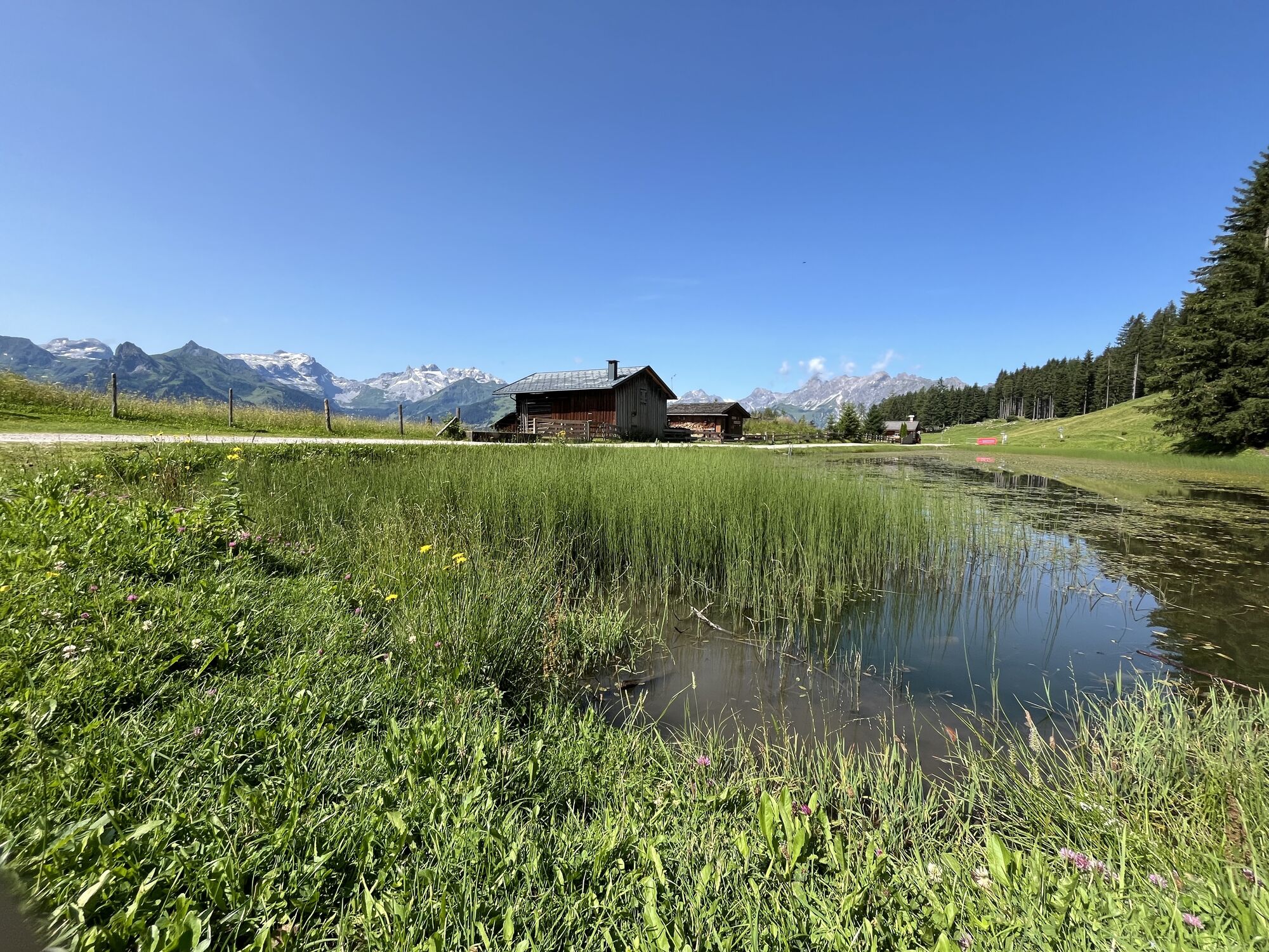
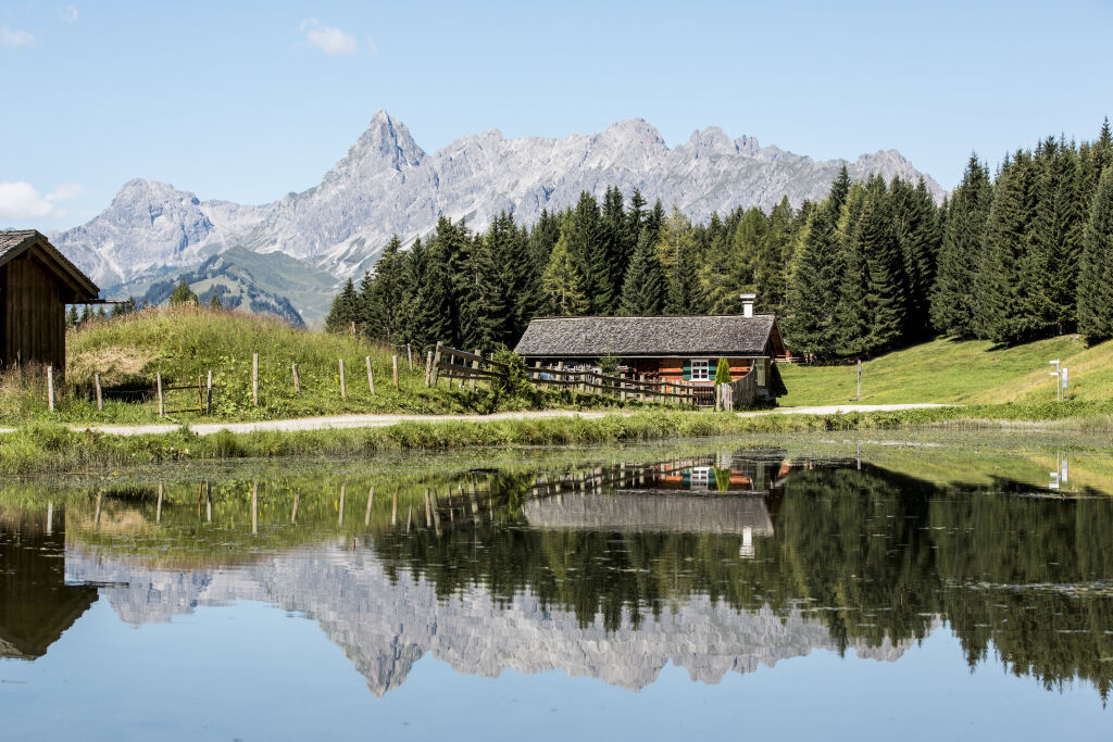
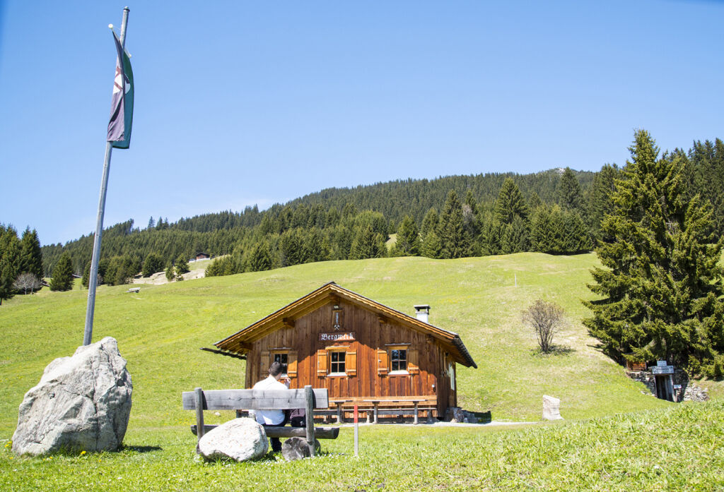
From the mine, it continues to Fritzensee, which is truly a place of longing with a fantastic view into the Rätikon of the Drei Türme and Zimba. A break to enjoy on a bench by the lake is definitely recommended. Then it continues towards Rellseck. There you reach the highest point of the route, 1,495 m. The Alpengasthaus Rellseck is located at 1,500 meters and is worth a visit at any time of year. Due to its unique location, it is considered one of the most beautiful viewpoints in the Montafon. From Legi, you now return to the church at Bartholomäberg.
Tak
Ankle-high shoes with a good tread sole as well as weather-appropriate clothing.
During a guided tour in the mine, protective clothing will be provided to you. However, you should be aware that the temperature in the mine is constantly +8°C. Therefore, warm clothing should be carried if a mine visit is planned.
EMERGENCY CALL:
140 Alpine emergencies Austria-wide
144 Alpine emergencies Vorarlberg
112 Euro emergency call (works with any mobile phone/network)
On the A14, take the Bludenz/Montafon exit and follow the L188 to Schruns. In Schruns, drive through the town center and towards Bartholomäberg.
Just leave your car behind
The regional buses run throughout the Montafon. The main lines run every half hour from Schruns station.
Bus stop at the start/finish of the route: Bartholomäberg Church/ Line 640
Timetable: www.vmobil.at
Arrival by train to Montafon
From Bludenz station, the Montafonerbahn runs hourly (partly half-hourly). There are also direct connections from Lindau (D) and Bregenz.
Timetable: www.oebb.at
Parking lot Church Bartholomäberg
The route can be shortened with the help of the hiking bus Rellseck. You can find all information at www.montafon.at/wanderbus
A return trip with the hiking bus is only possible from mid-June to mid-October.
Opening times historic mine from mid-June to mid-October
Wed. 1:00 pm - 5:00 pm
Fri. 1:00 pm - 5:00 pm
Sun. 1:00 pm - 5:00 pm
The mountain breakfast at the Alpengasthaus Rellseck is highly recommended.
The Baroque church Bartholomäberg – it is considered one of the most remarkable churches in Vorarlberg.
Kamery internetowe z trasy
Hochjoch Bahn Bergstation
Matschwitz Mittelstation
Innerberg
Golfclub Braz
Golm - Matschwitz
Bartholomäberg
Bartholomäberg
Tschagguns
Schruns
Bartholomäberg - Ferienhotel Fernblick
Kapellbahn
Schlepplift Innerbach
Bartholomäberg
Bartholomäberg - Ferienhotel Fernblick
Bartholomäberg - Ferienhotel Fernblick
Bartholomäberg - Ferienhotel Fernblick


Popularne wycieczki w okolicy
- 5,0
Ski tour to the Lindauer Hut (1,744 m)
światłoWycieczka narciarska 14,0 km - 5,0
Bürs, Bürserschlucht Bürs, Vorarlberg
średniWędrówka 5,31 km - 4,4
Golm-Rundwanderweg im Rätikon
średniTrasa tematyczna 7,28 km - 4,1
Mondspitze (Montspitze)
średniWędrówka 7,97 km - 4,9
Douglasshütte, Lünersee, Gafalljoch Brand bei Bludenz, Vorarlberg
światłoWędrówka 9,16 km - 4,2
Golmerbahn Bergstaion Grüneck - Golmer Höhenweg - Geißspitze - Lindauer Hütte - Latschau
średniWędrówka 11,5 km - 4,6
Kristberg - Wasserstubental - Silbertal
światłoWędrówka 13,8 km - 4,8
Douglashütte - Schesaplana
średniWędrówka 7,31 km - 3,0
Bergstation Grüneck Golmerbahn - Alpe Latschätz - Lindauer Hütte - Latschau
światłoWędrówka 11,1 km - 3,3
Dalaas - Freiburgerhütte
średniWędrówka 8,40 km
Wędrówki i tropienie


Nie przegap ofert i inspiracji na następne wakacje
Twój adres e-mail została dodana do listy mailingowej.