







Bike and Hike Muttjöchle
Poziom trudności: 3
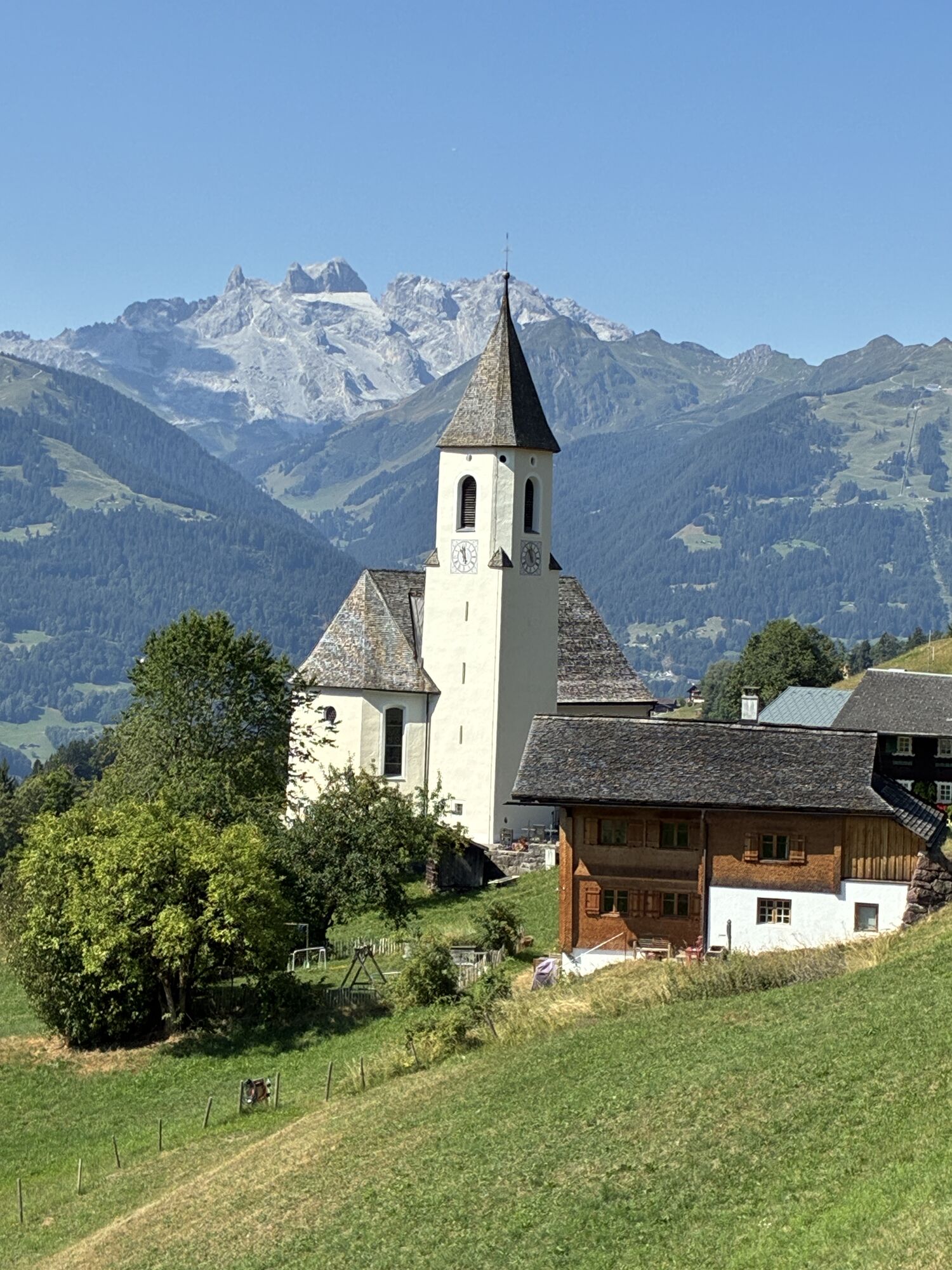
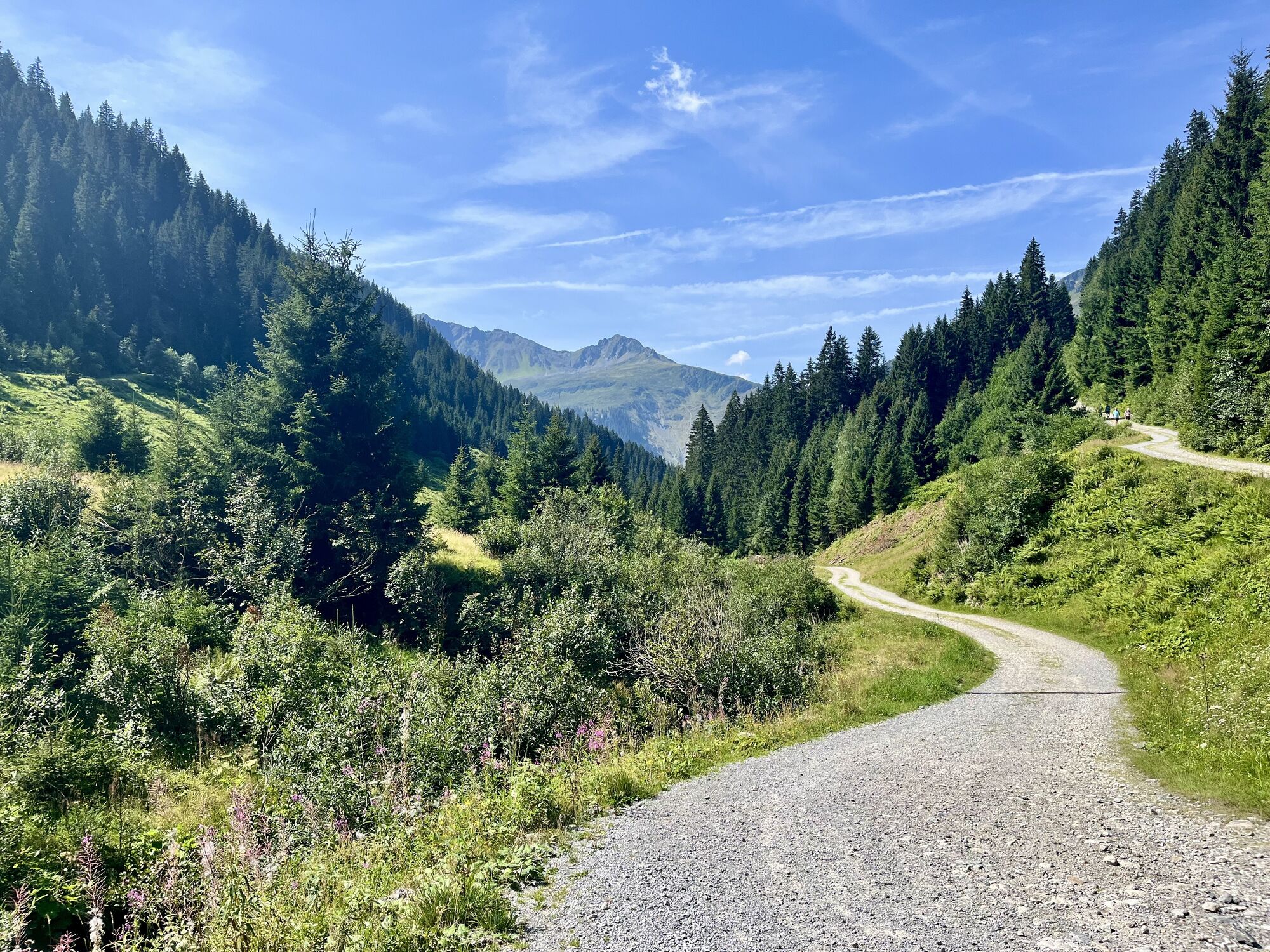
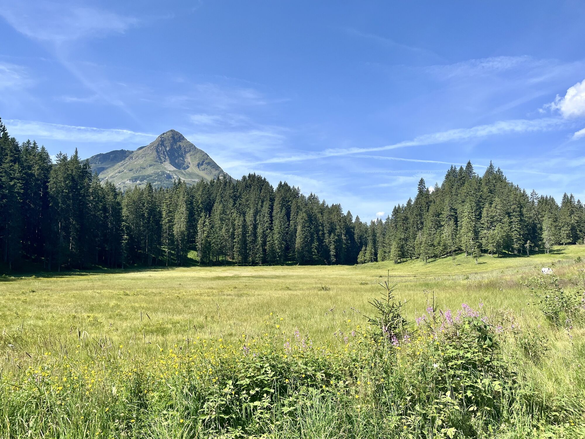
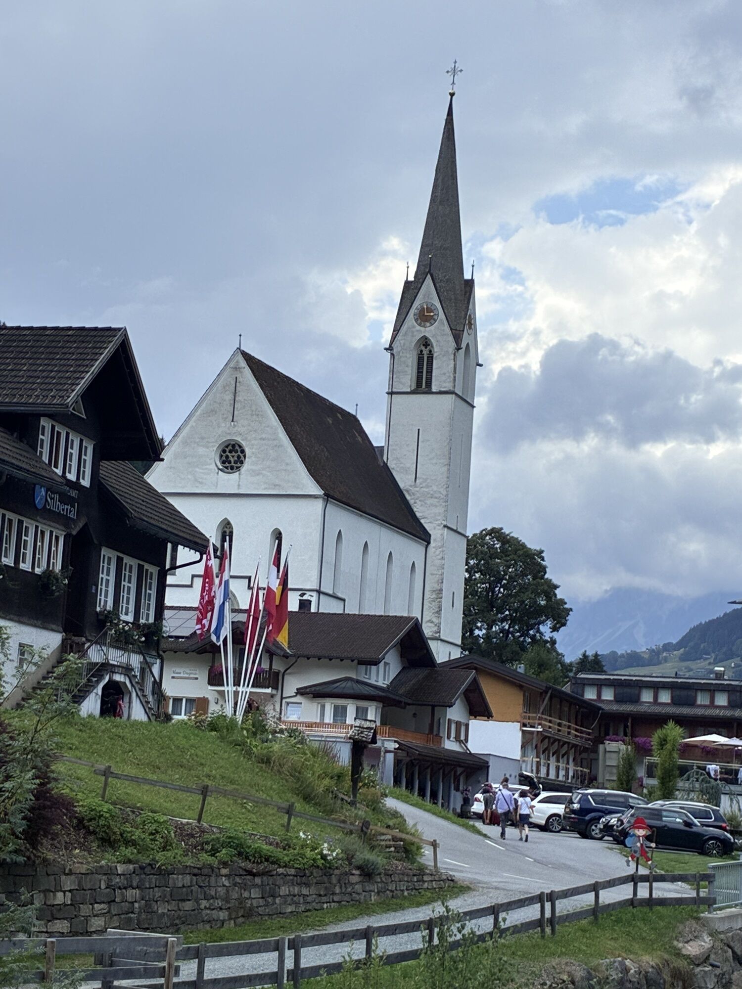
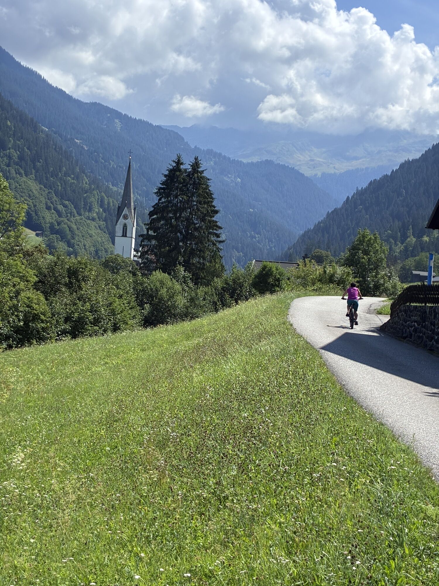
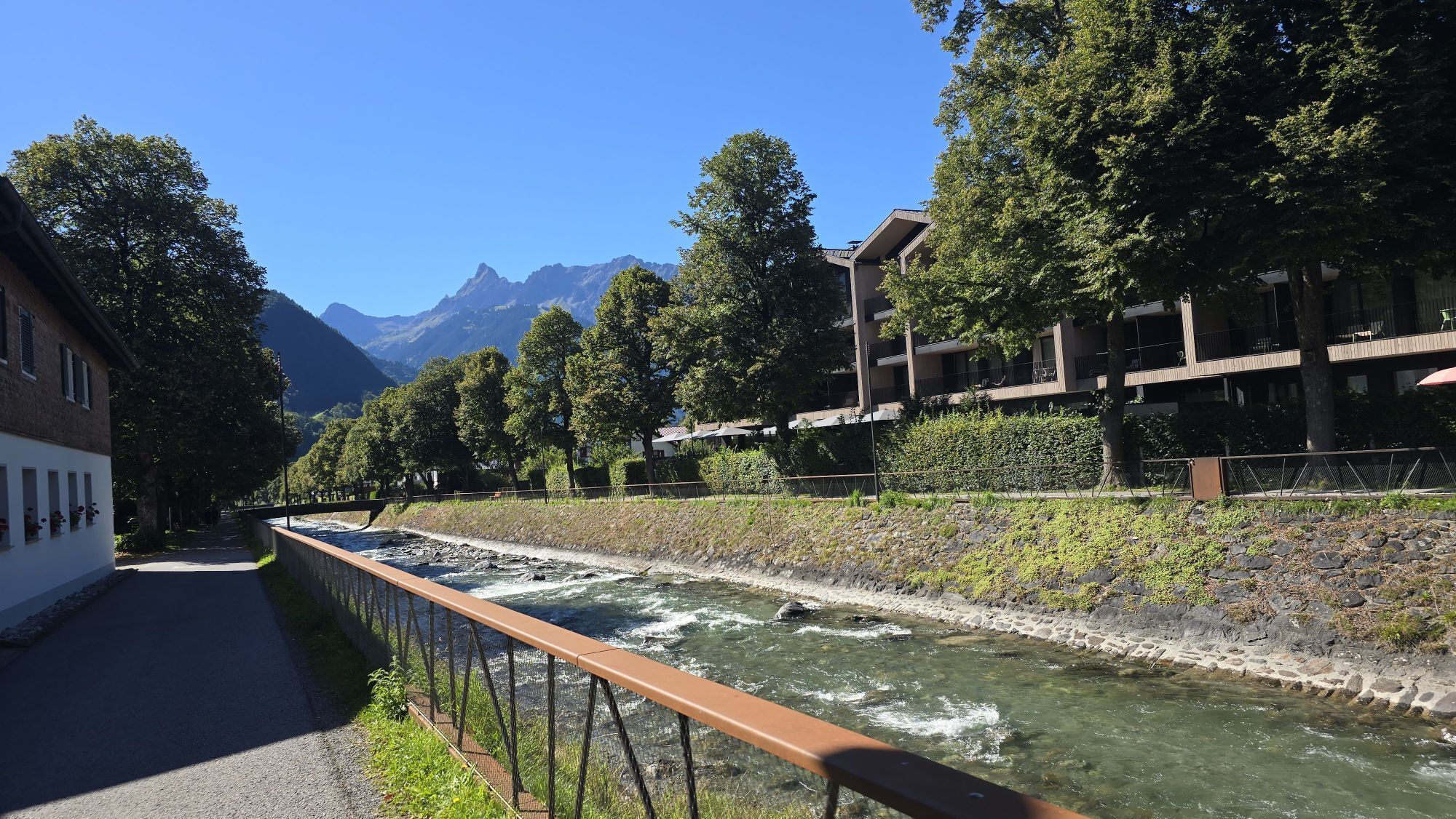

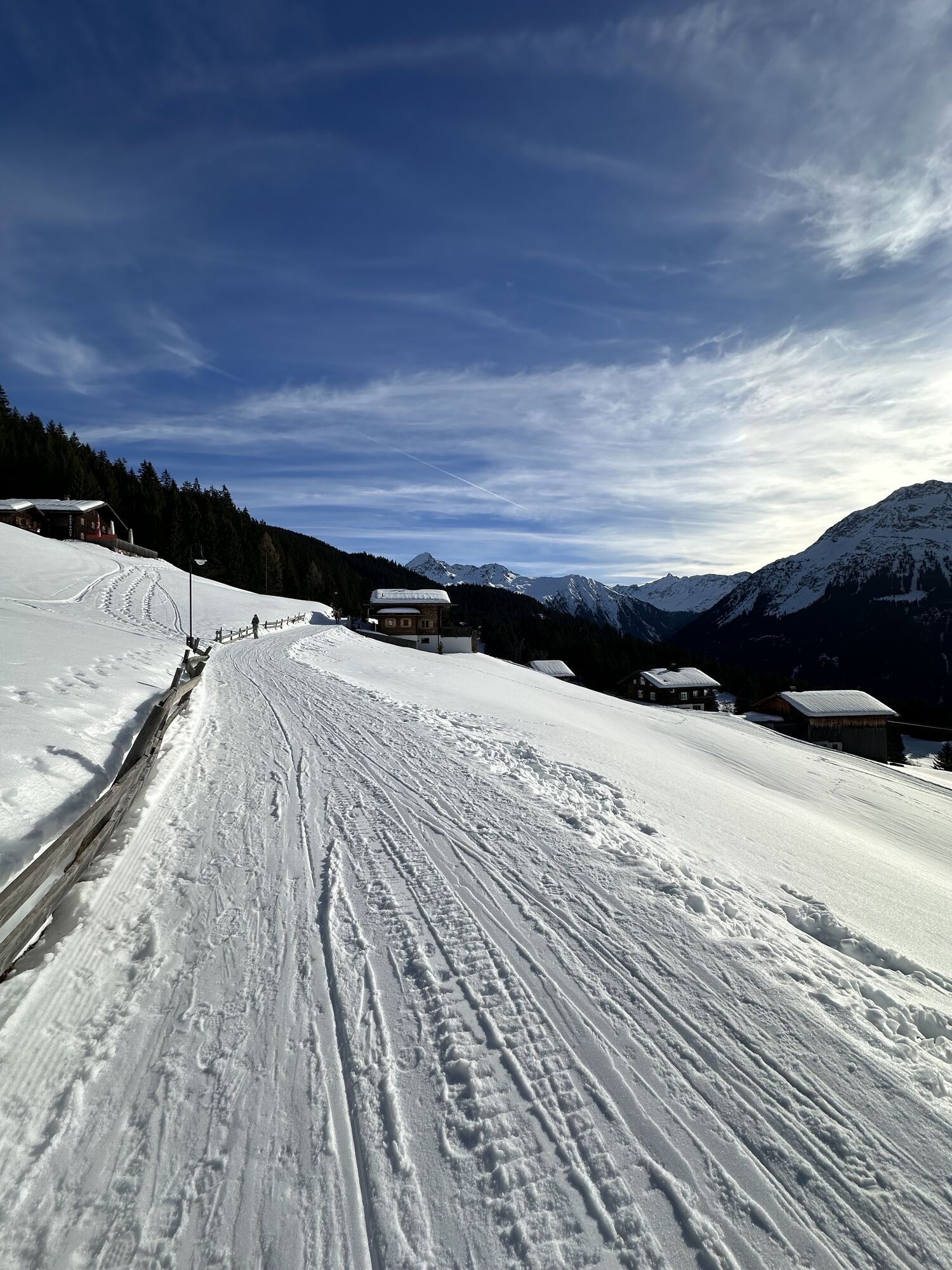
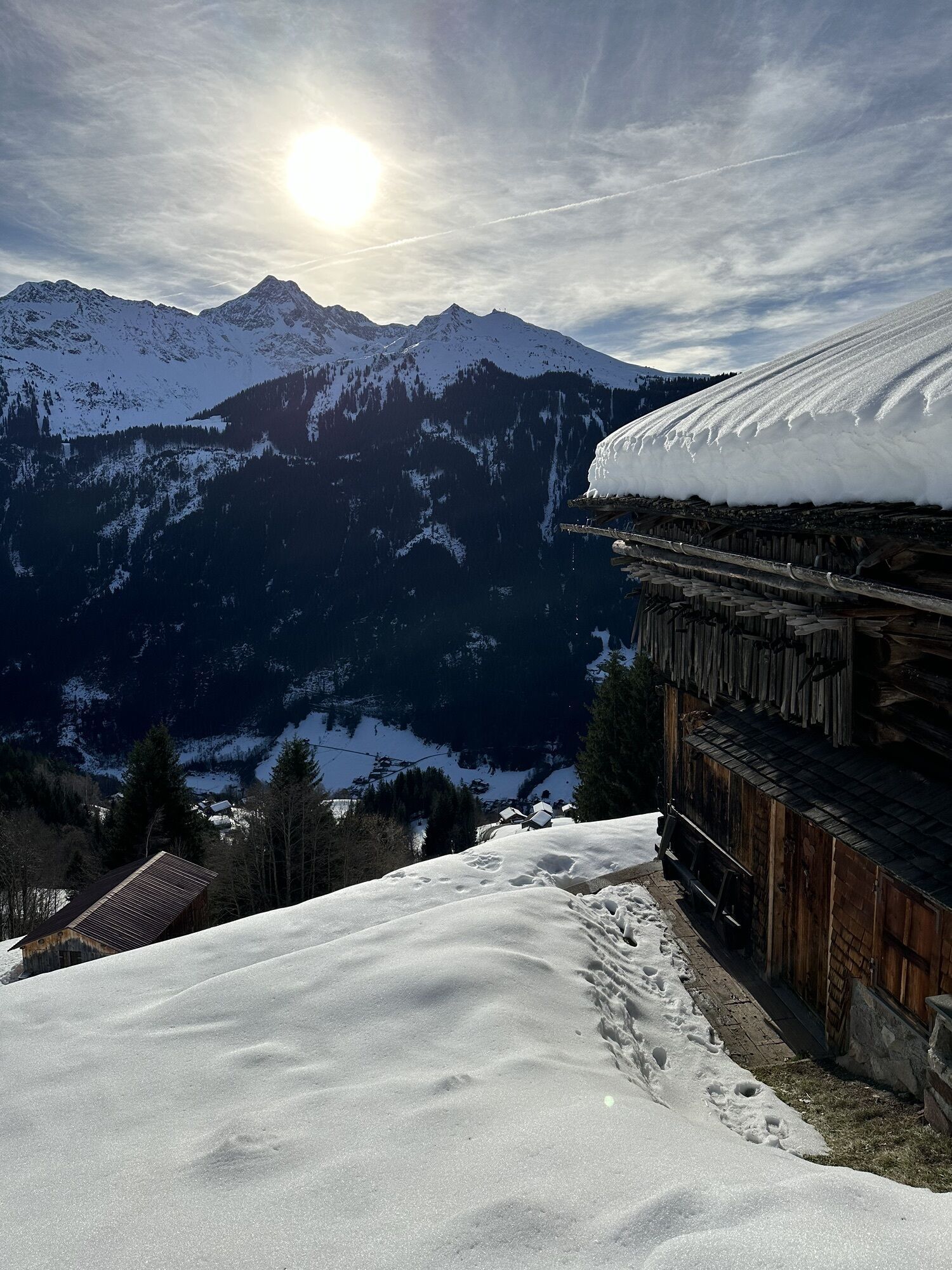
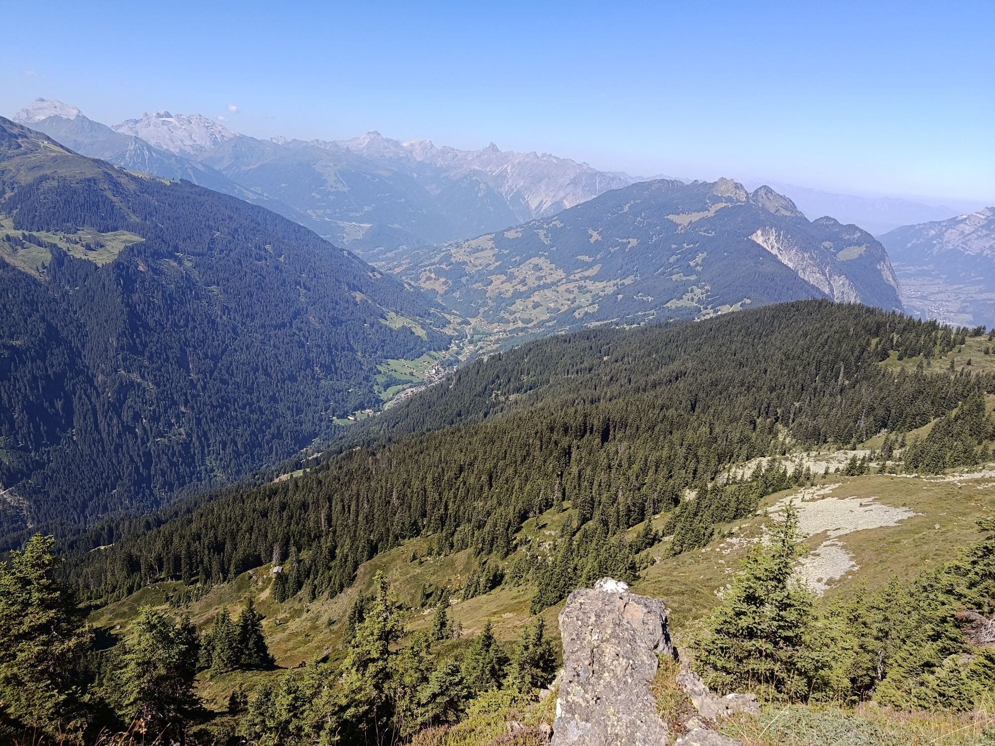
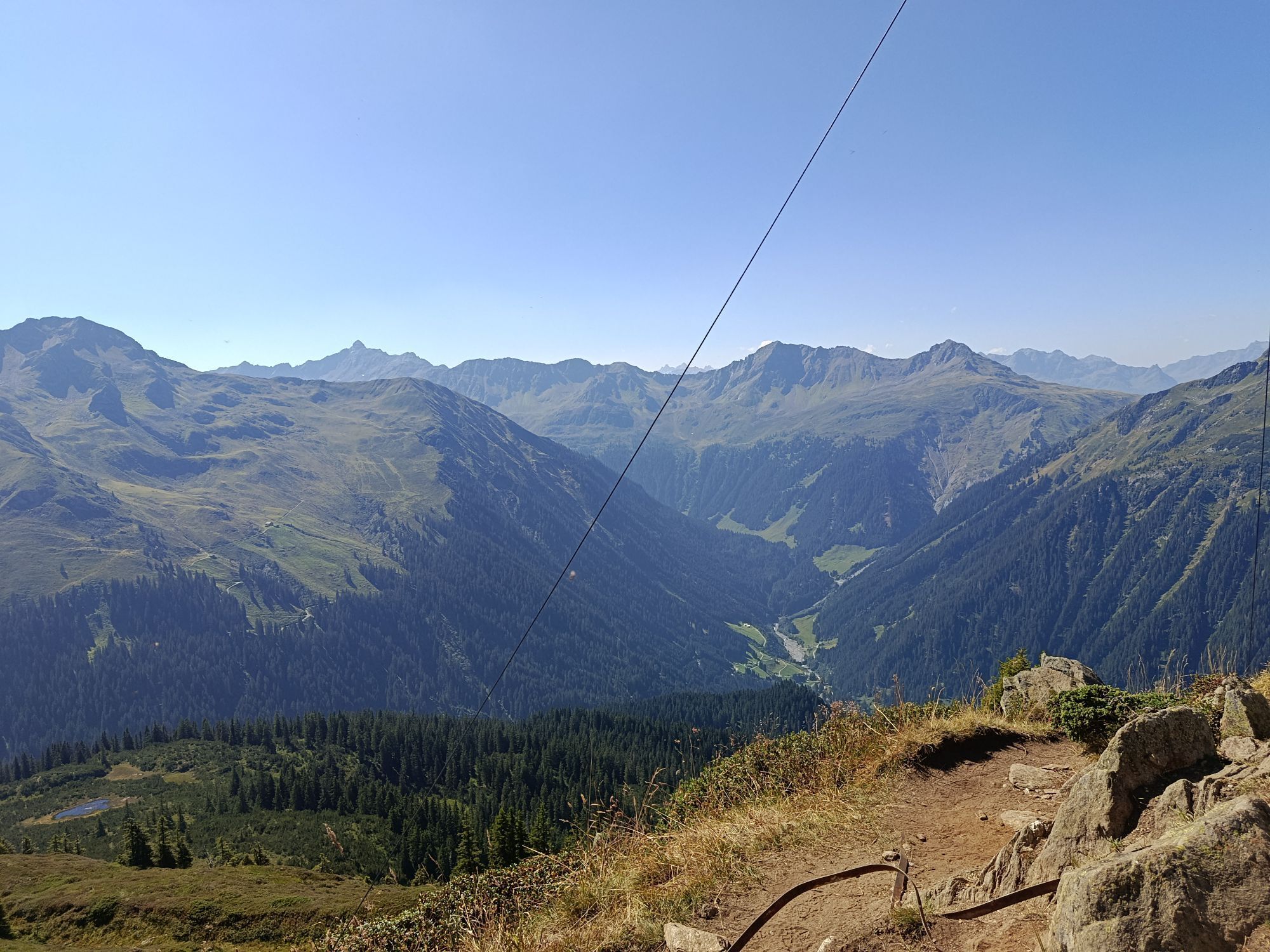
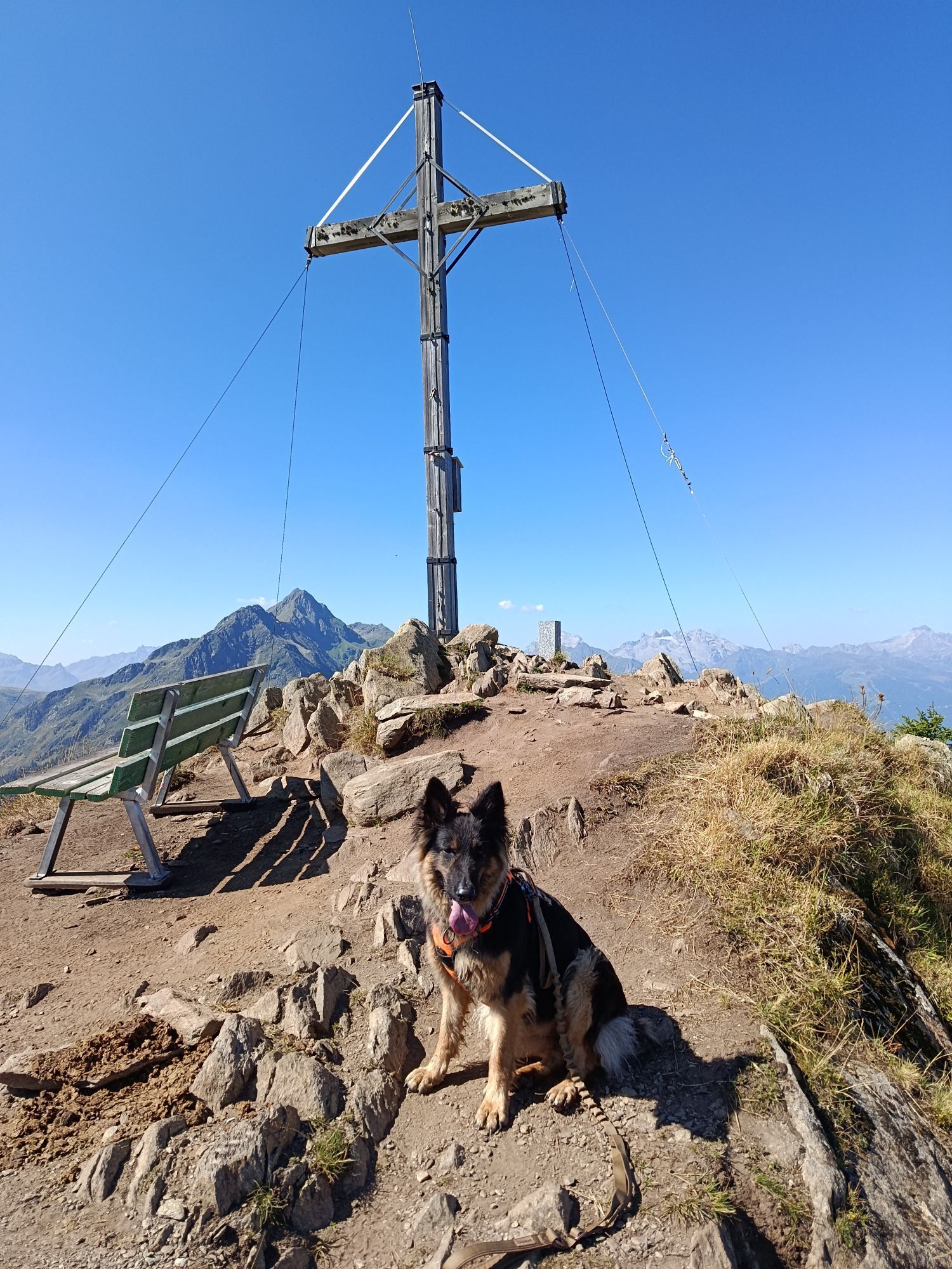
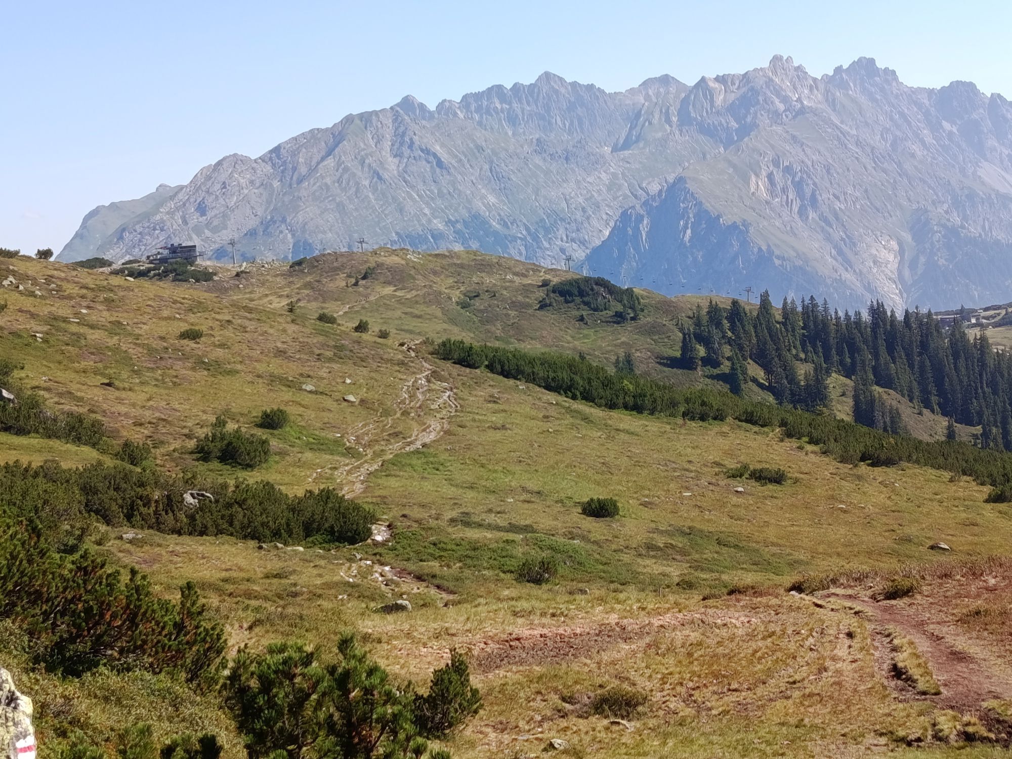
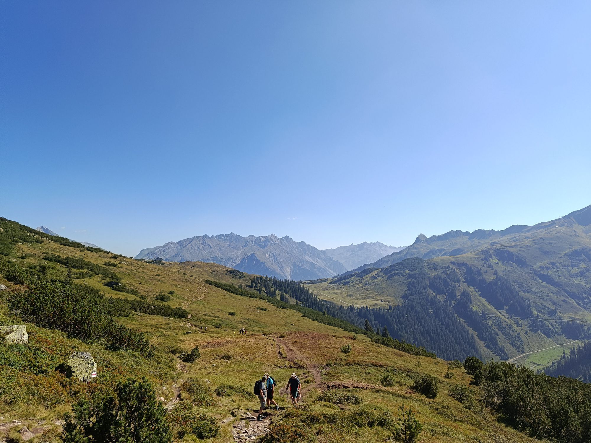
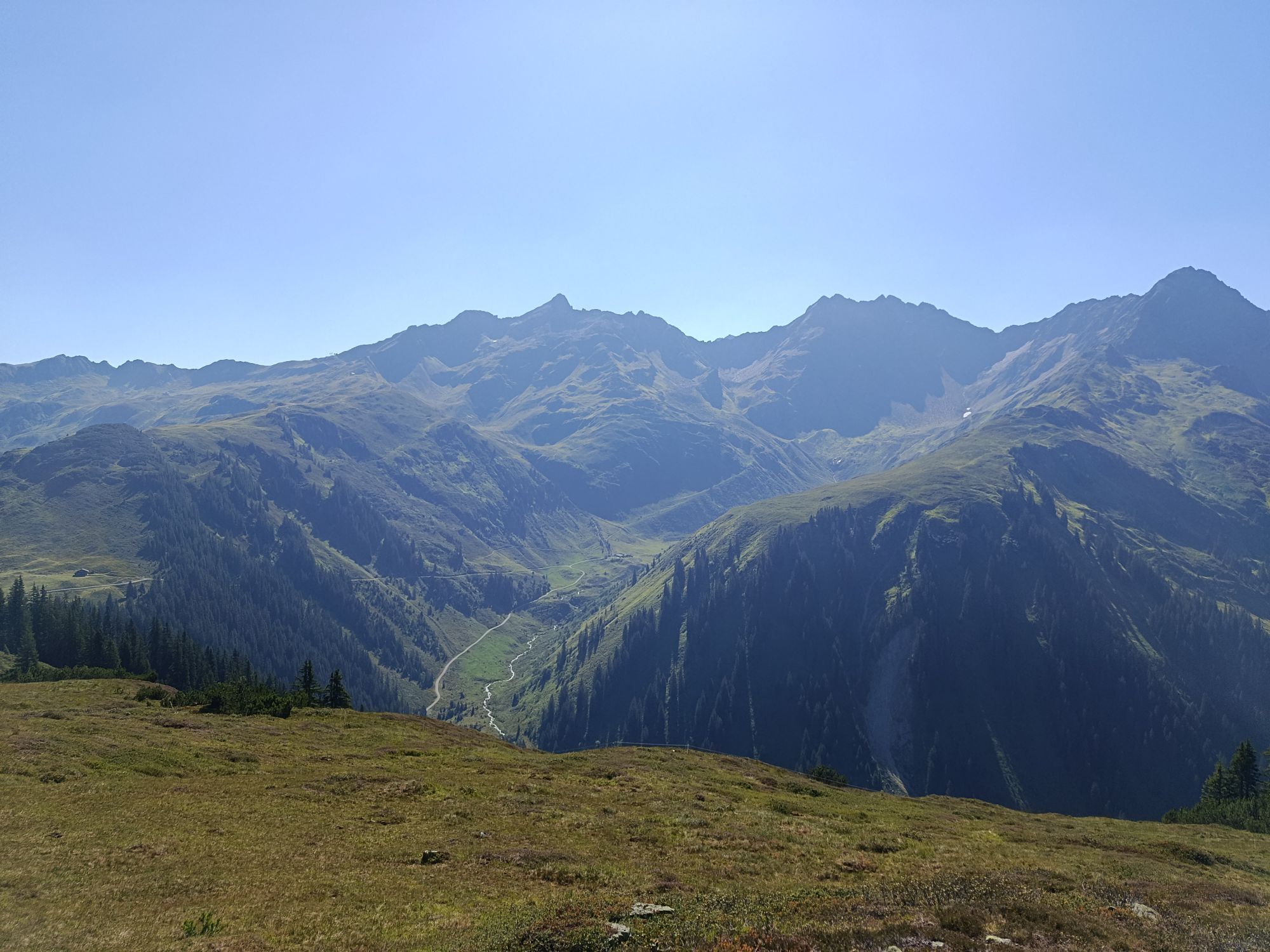
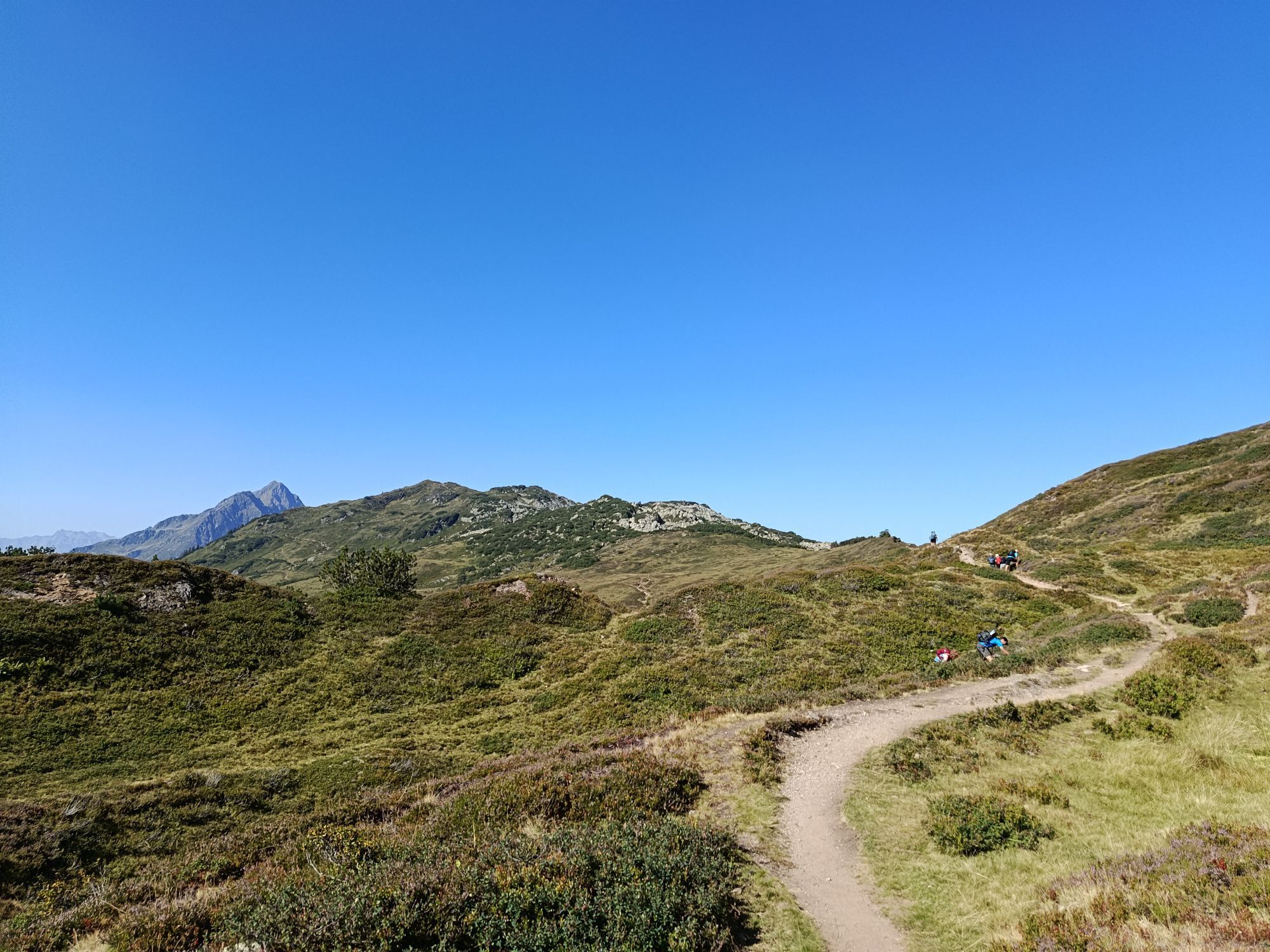
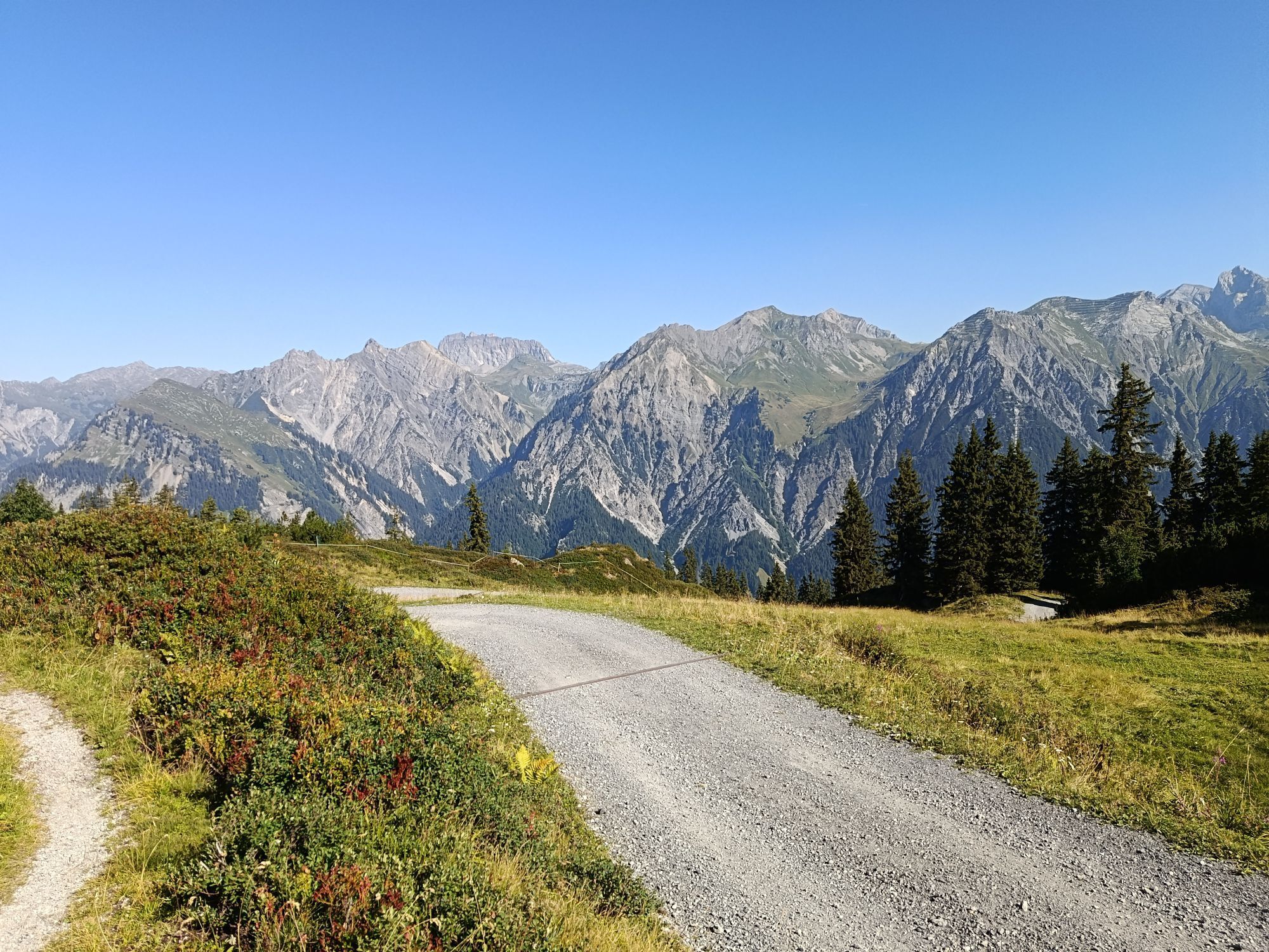
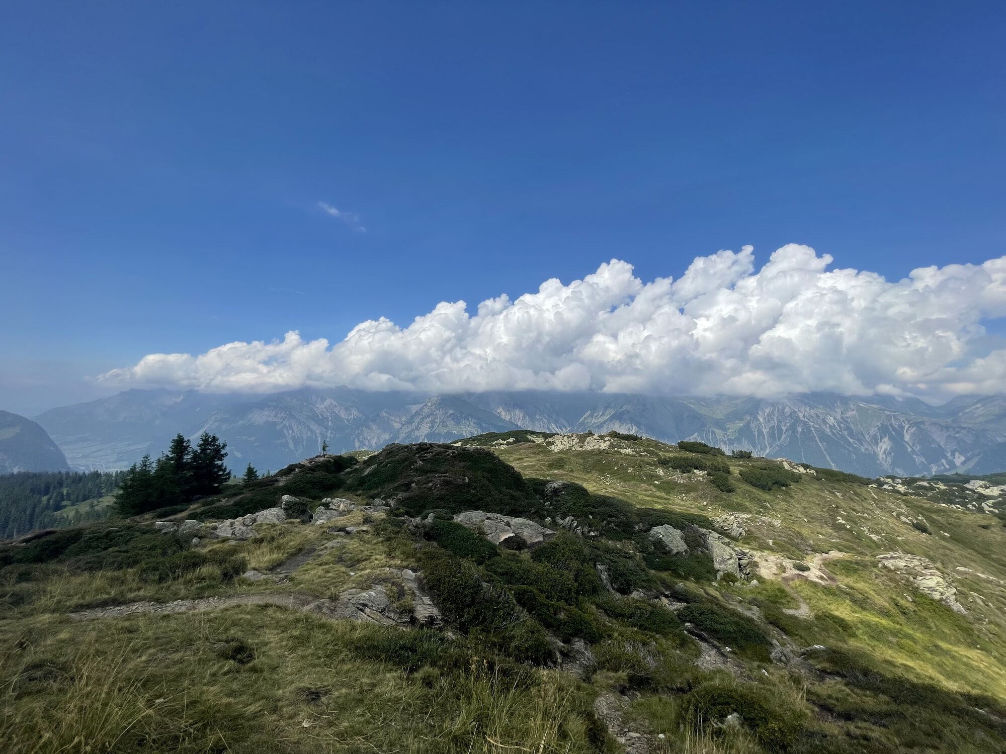
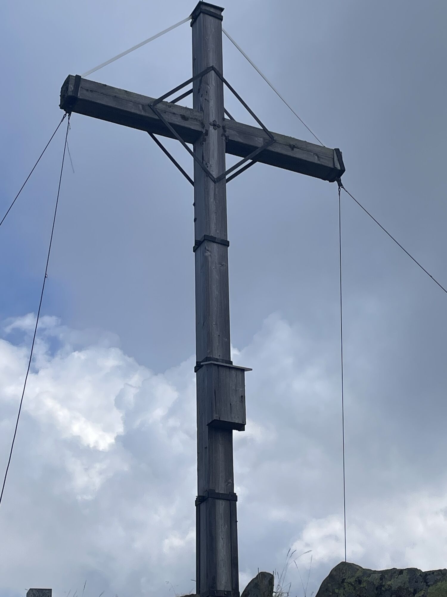
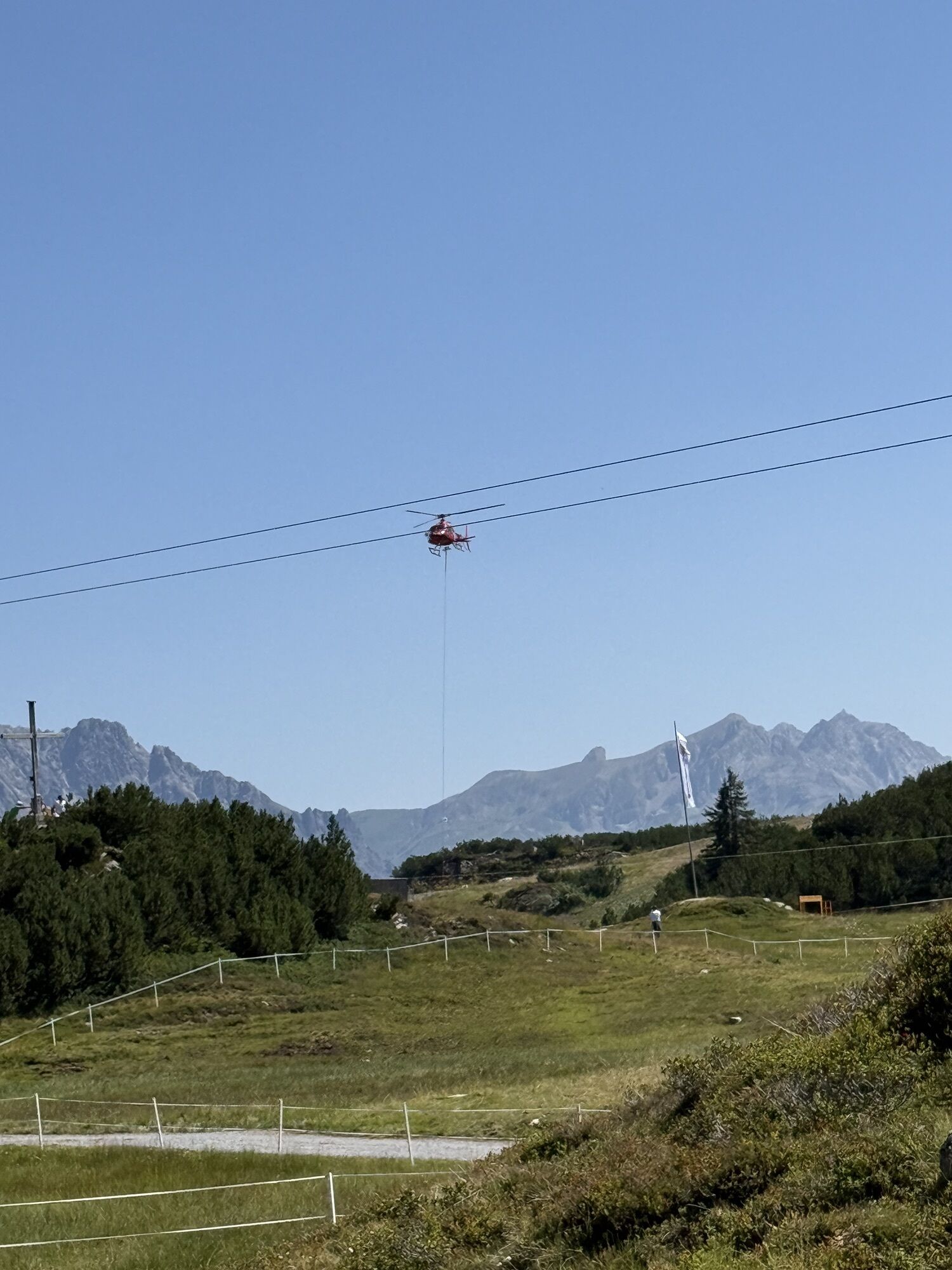
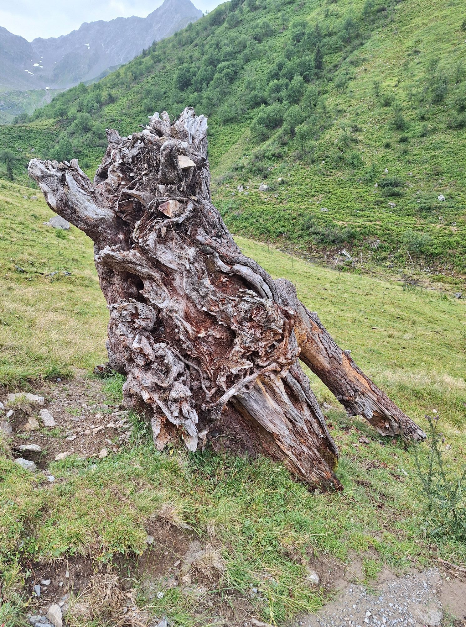
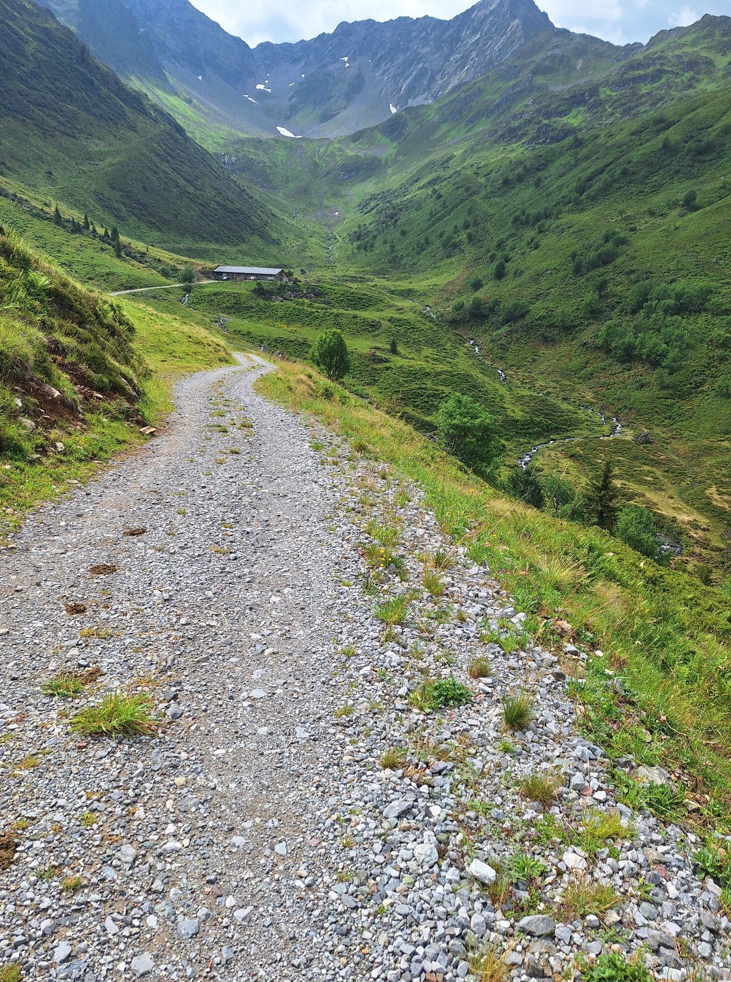
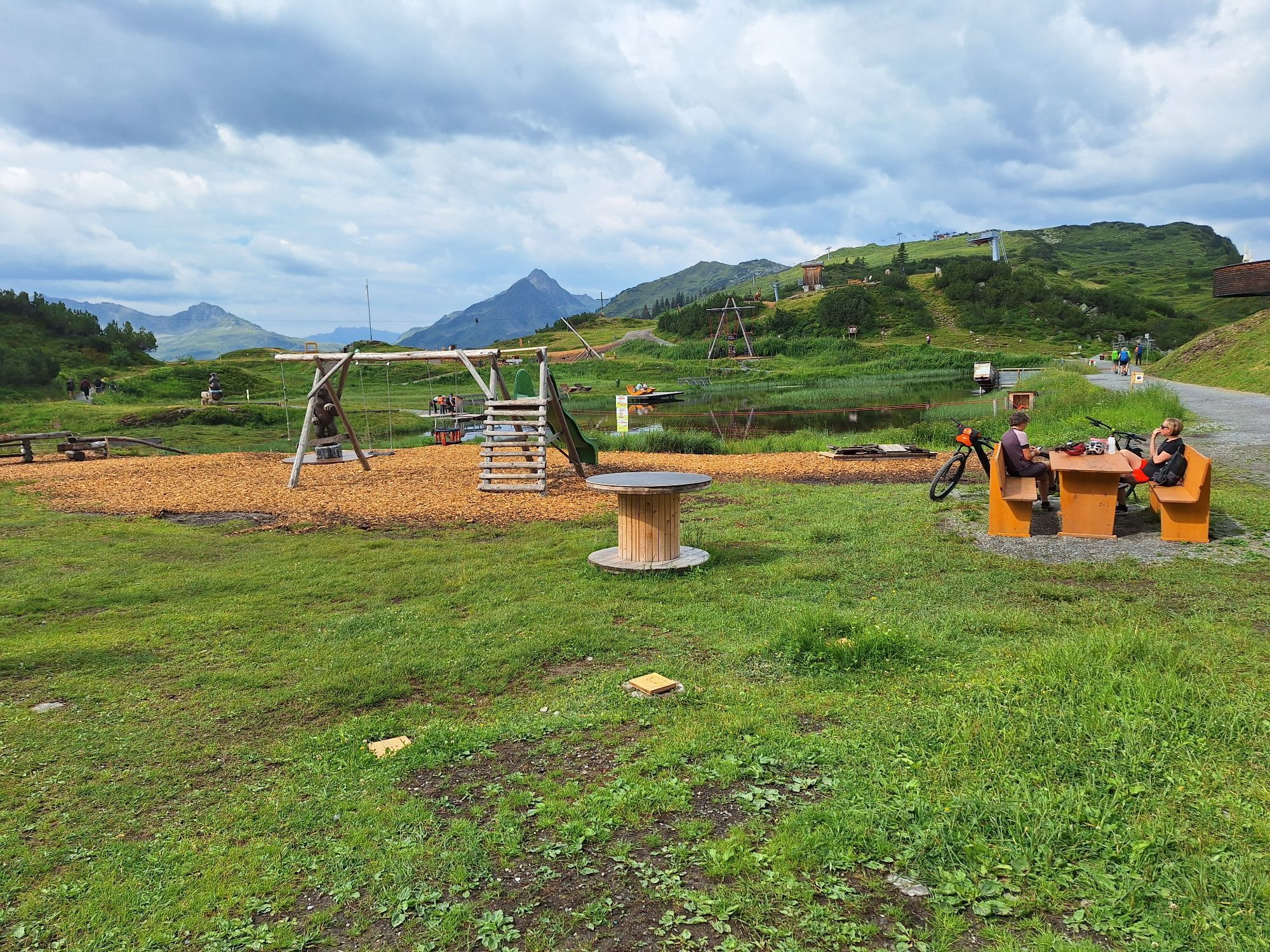
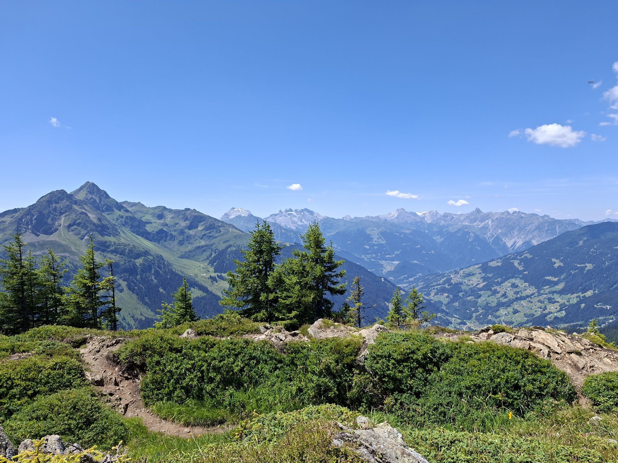
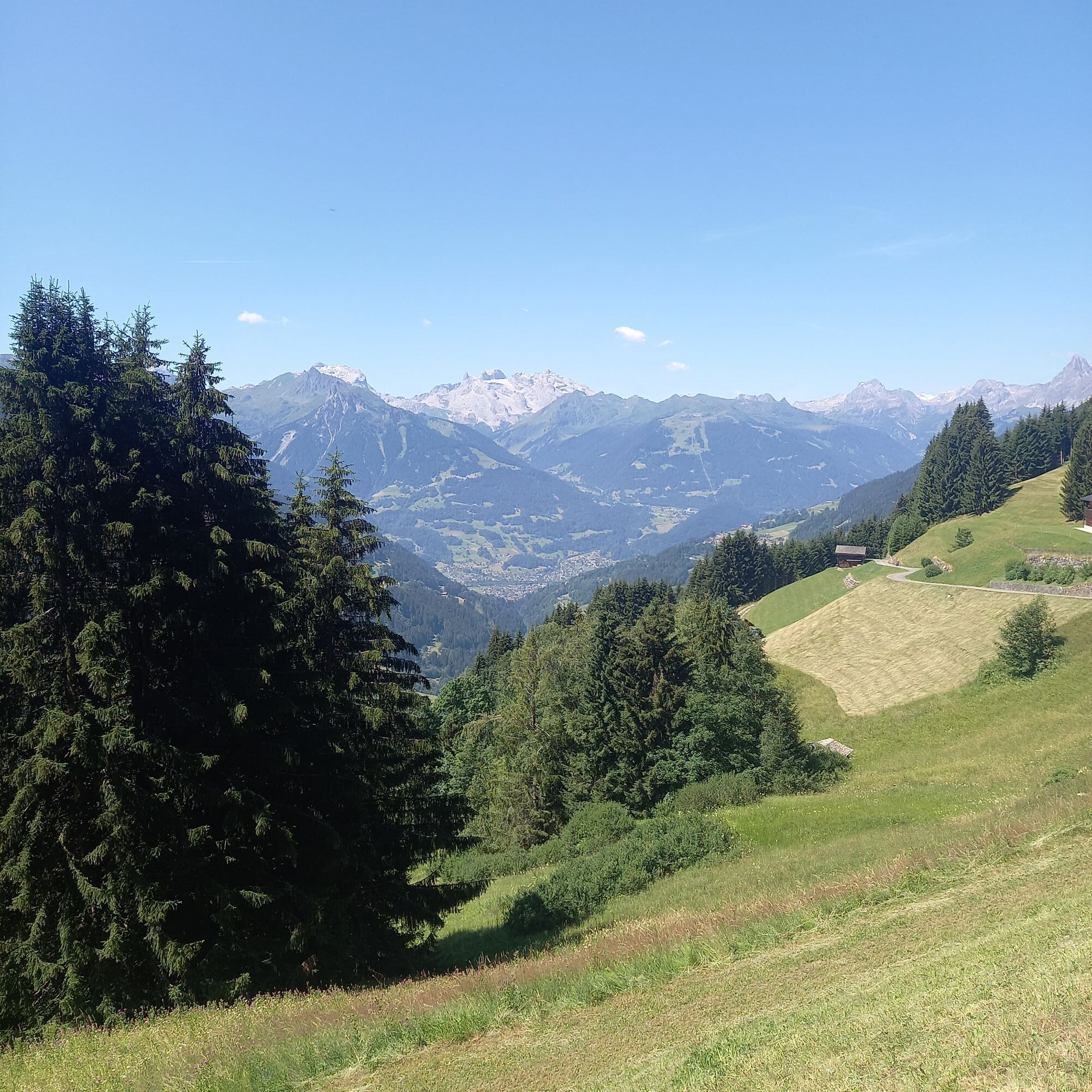
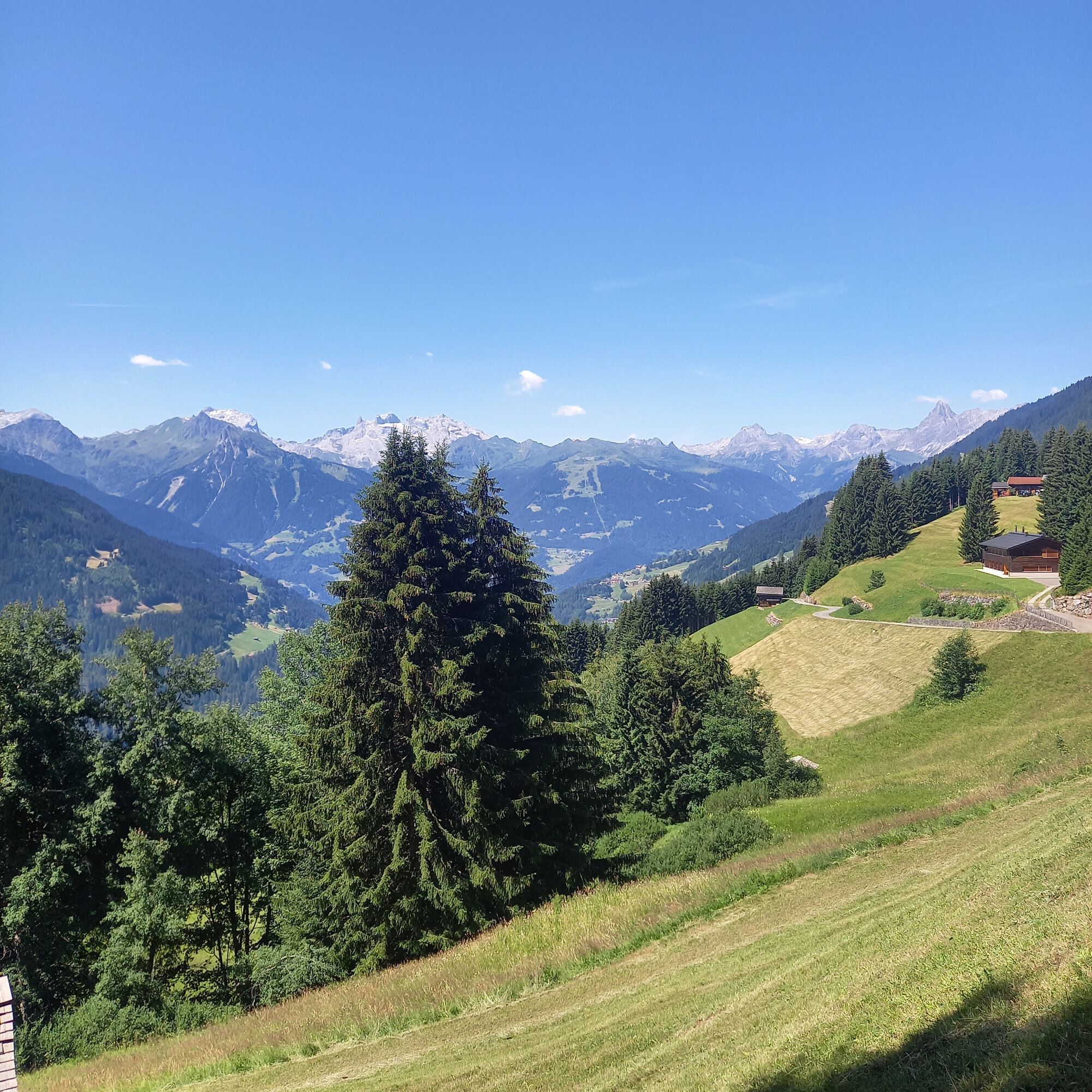
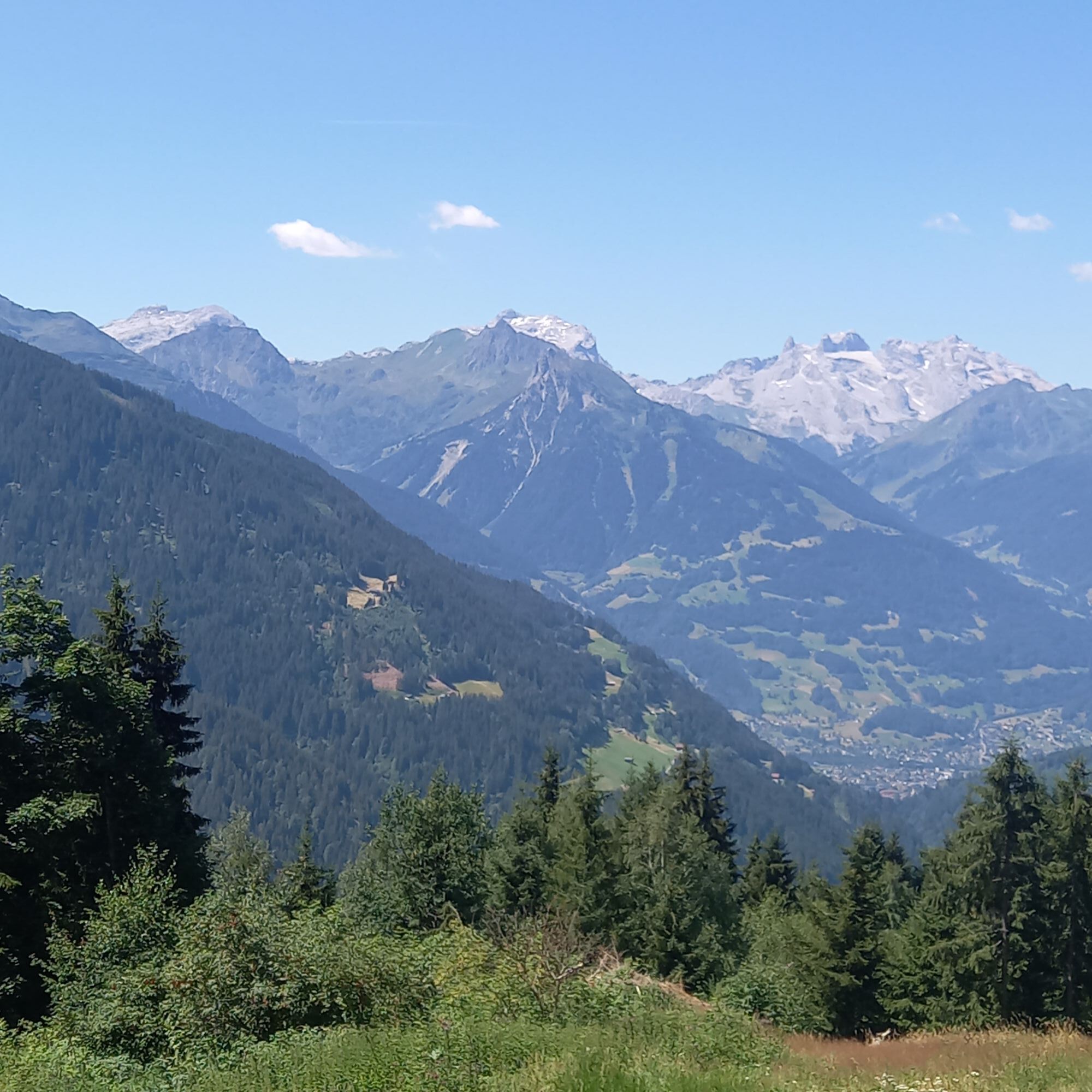
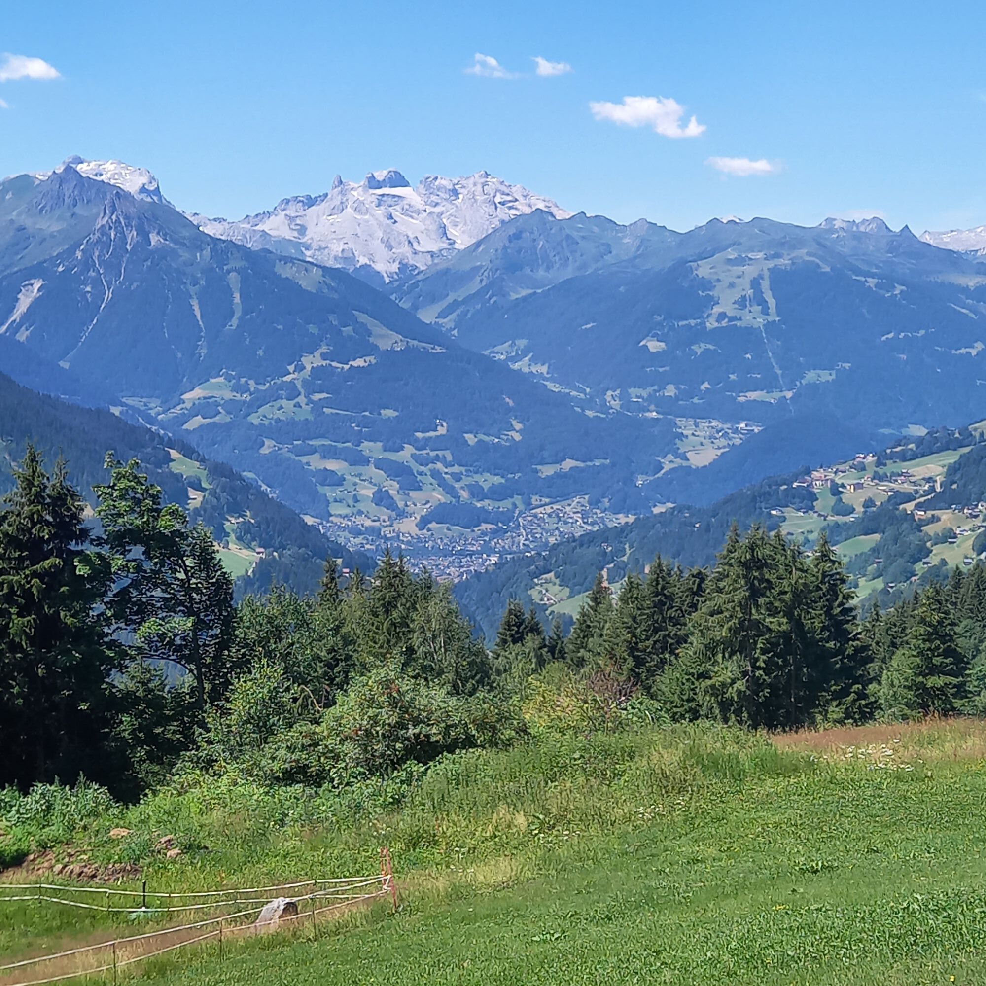
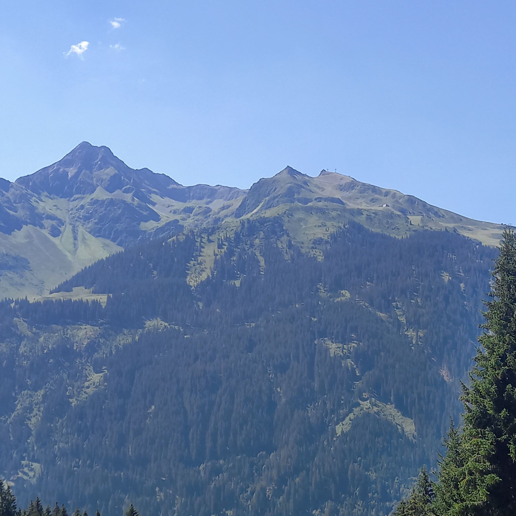
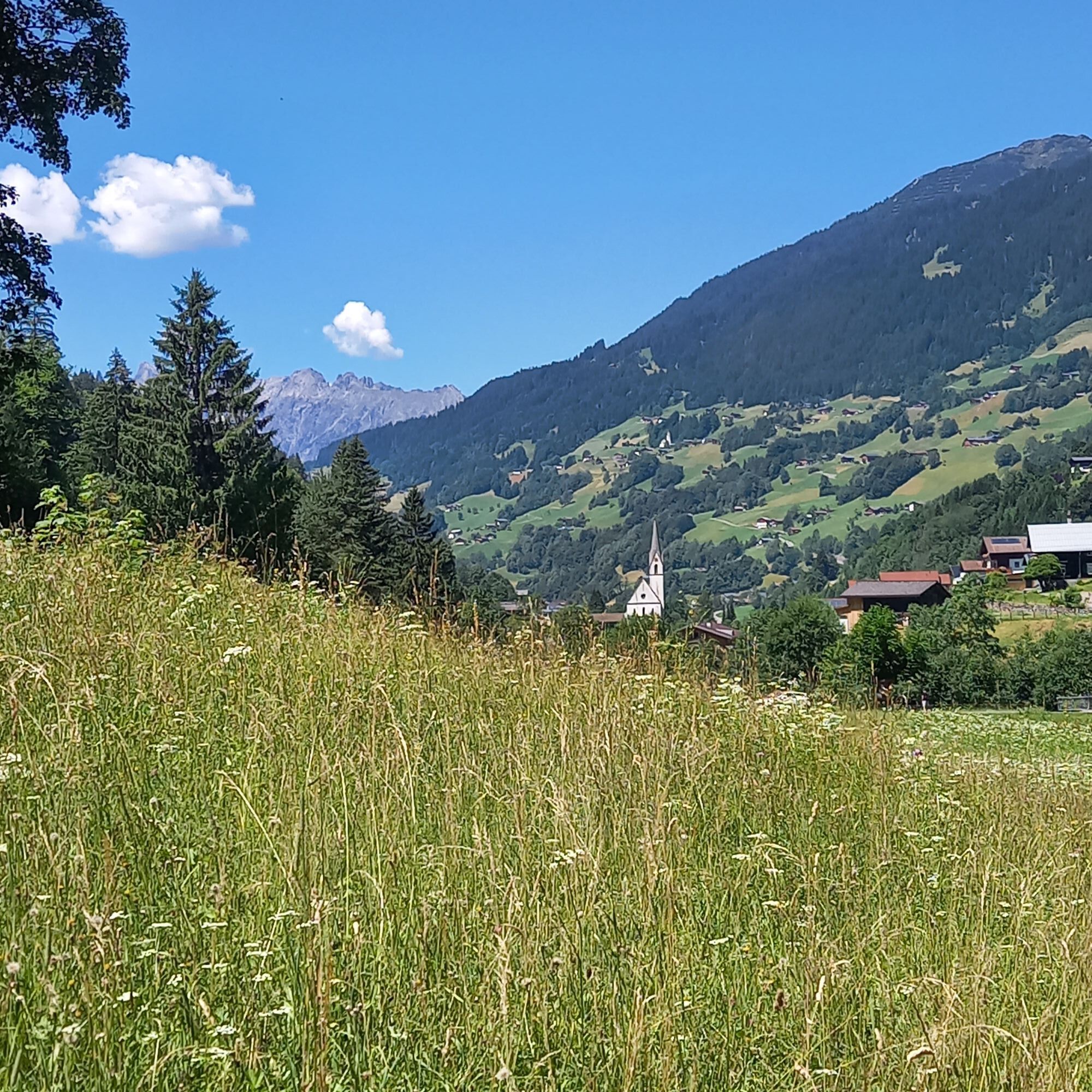
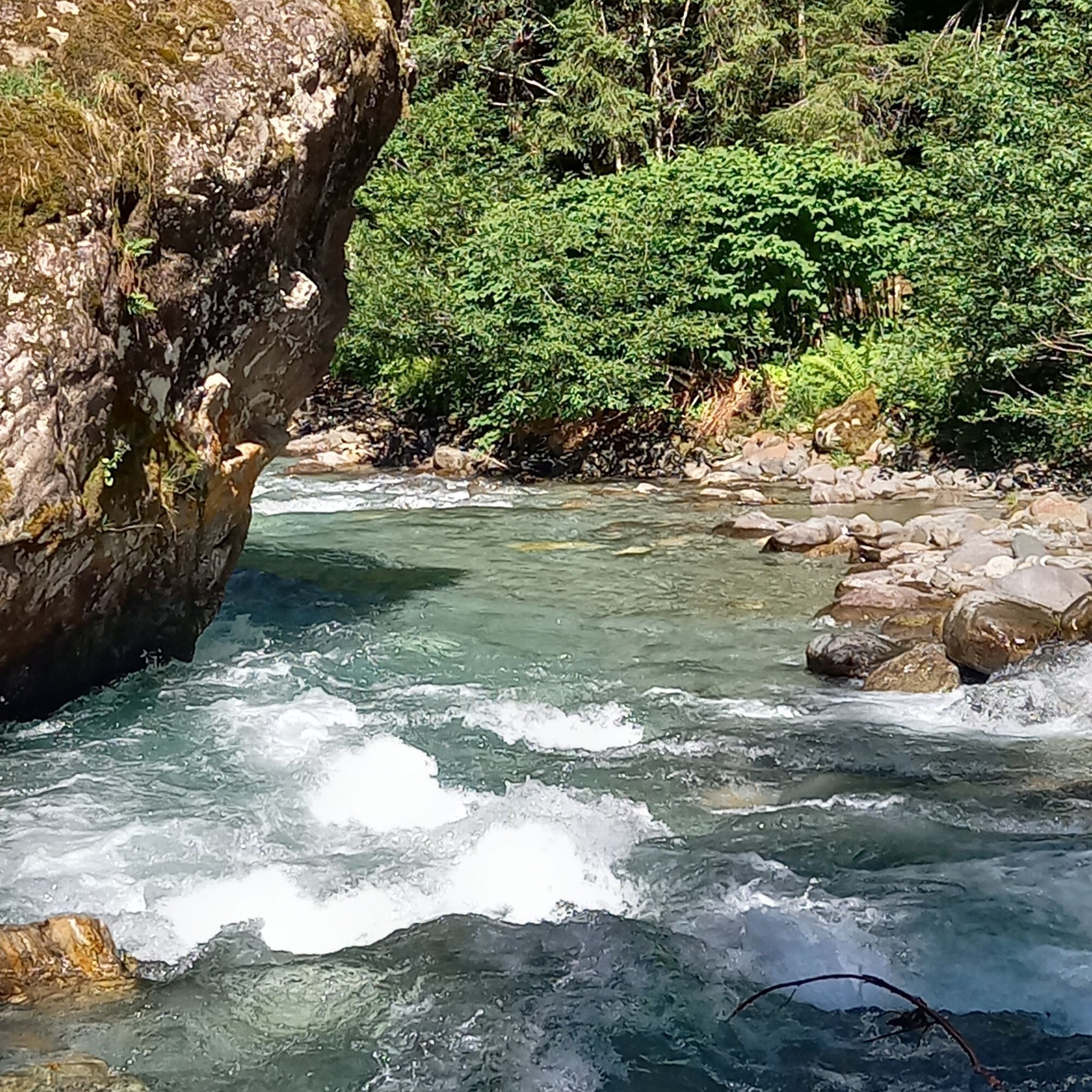
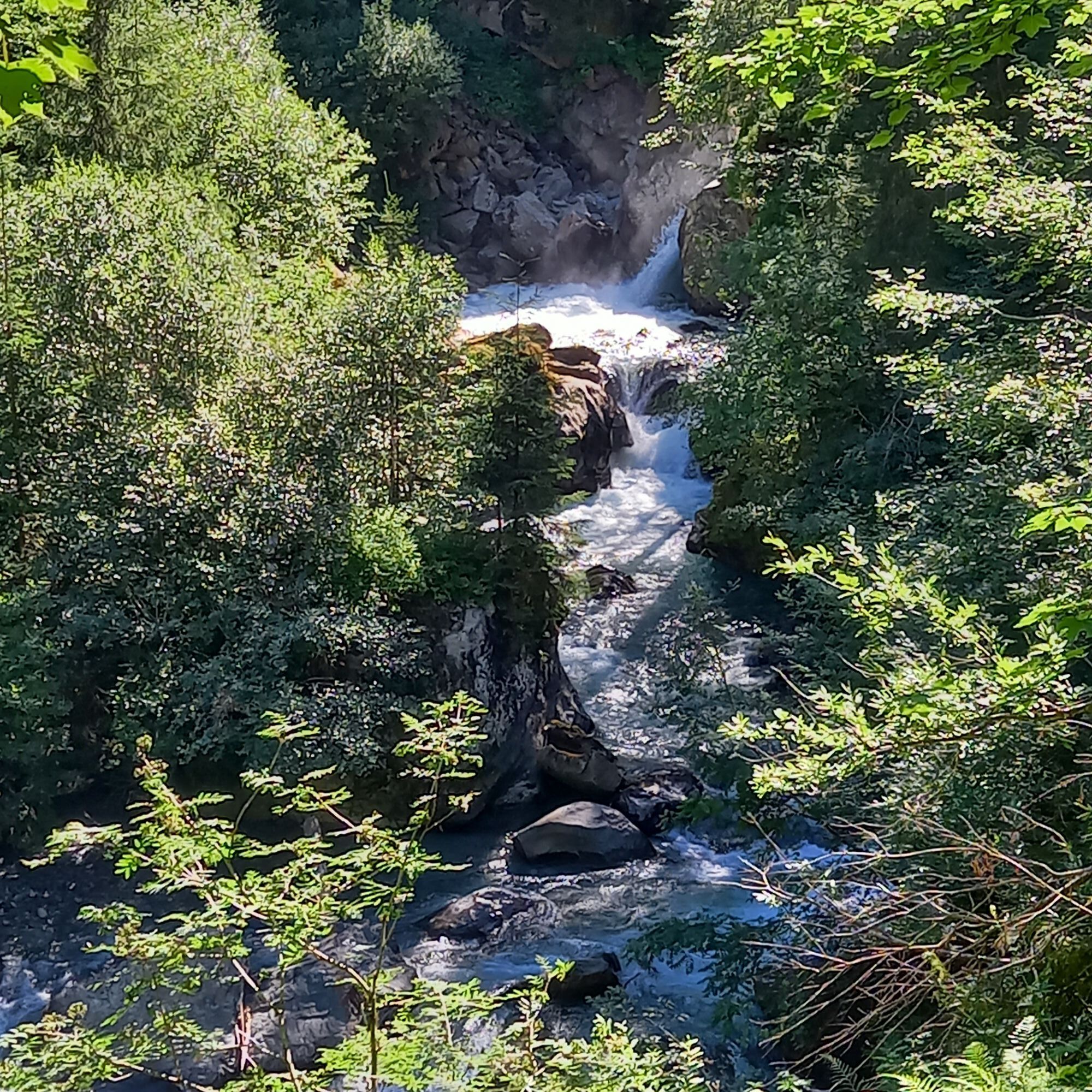
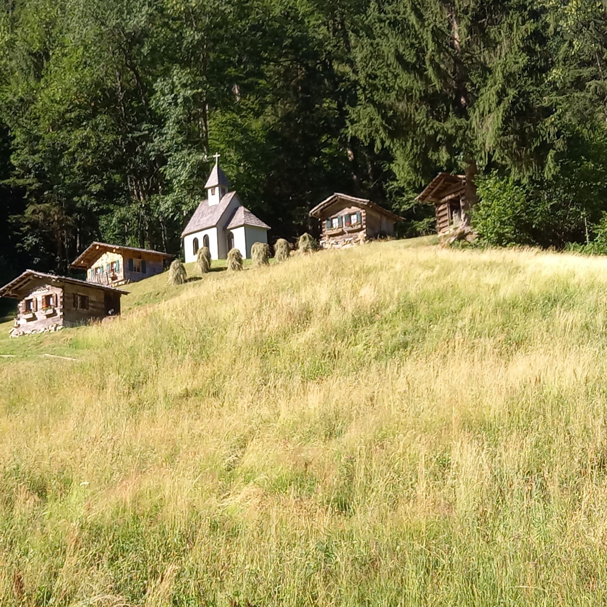
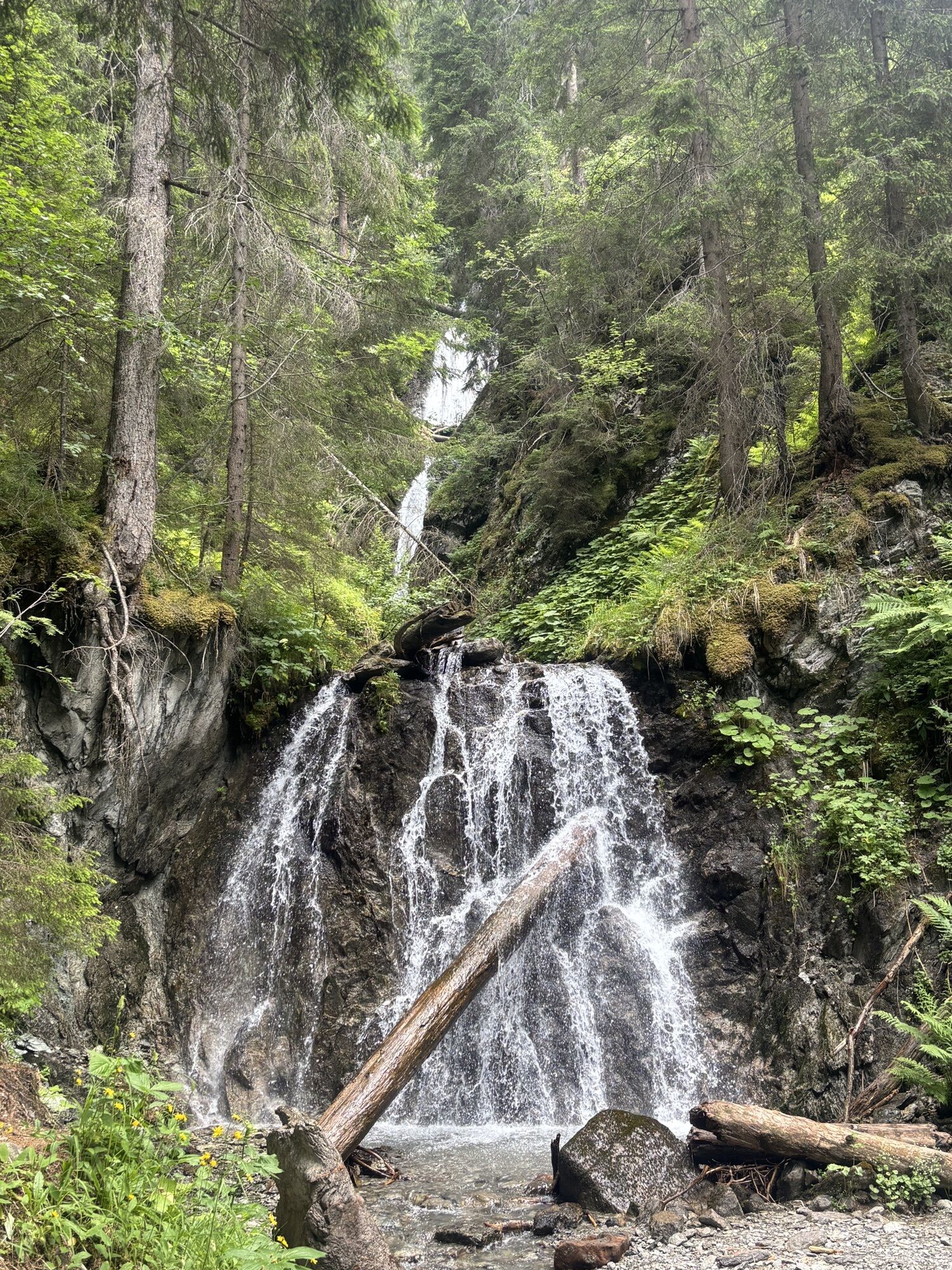
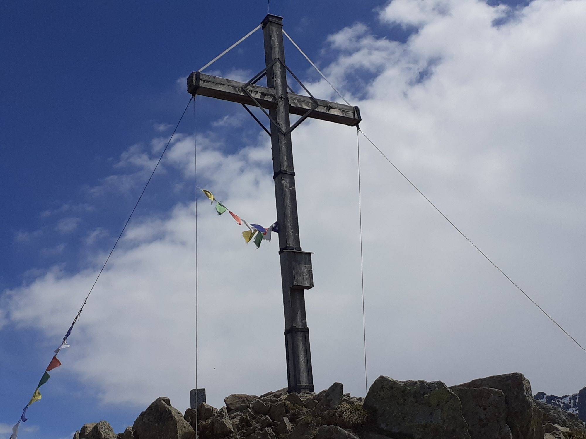
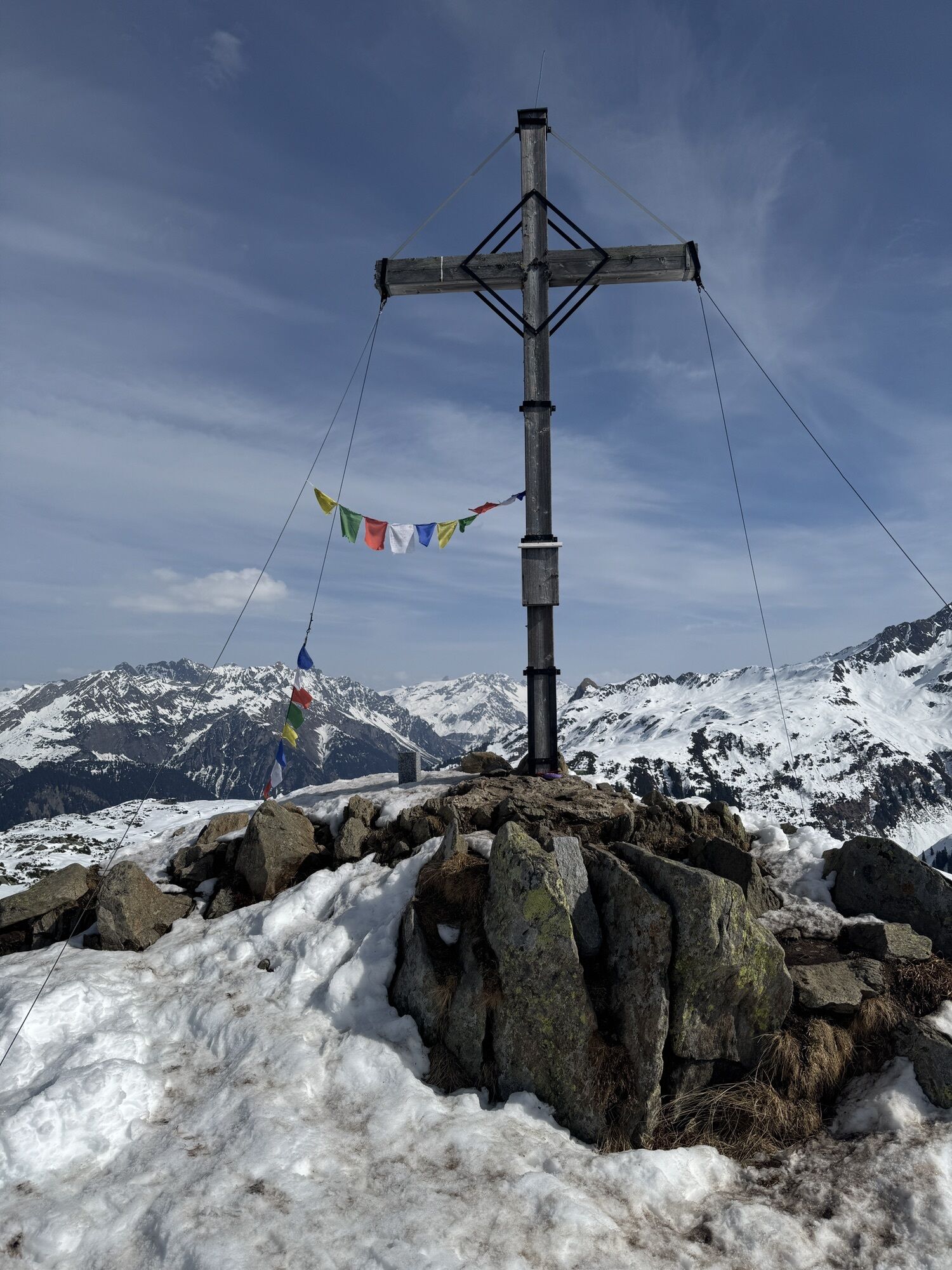
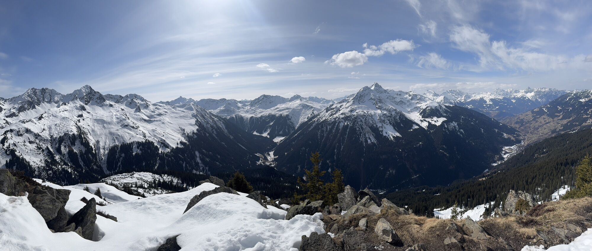
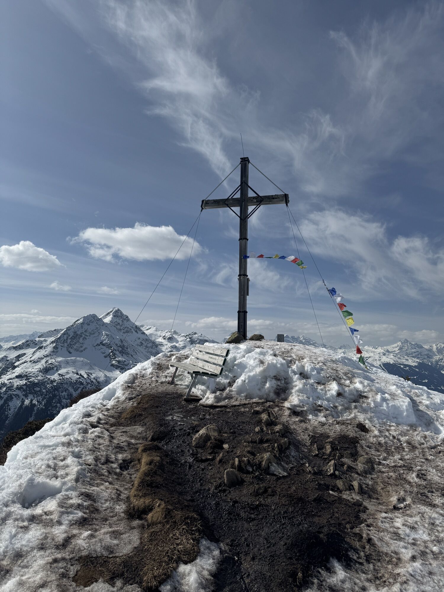
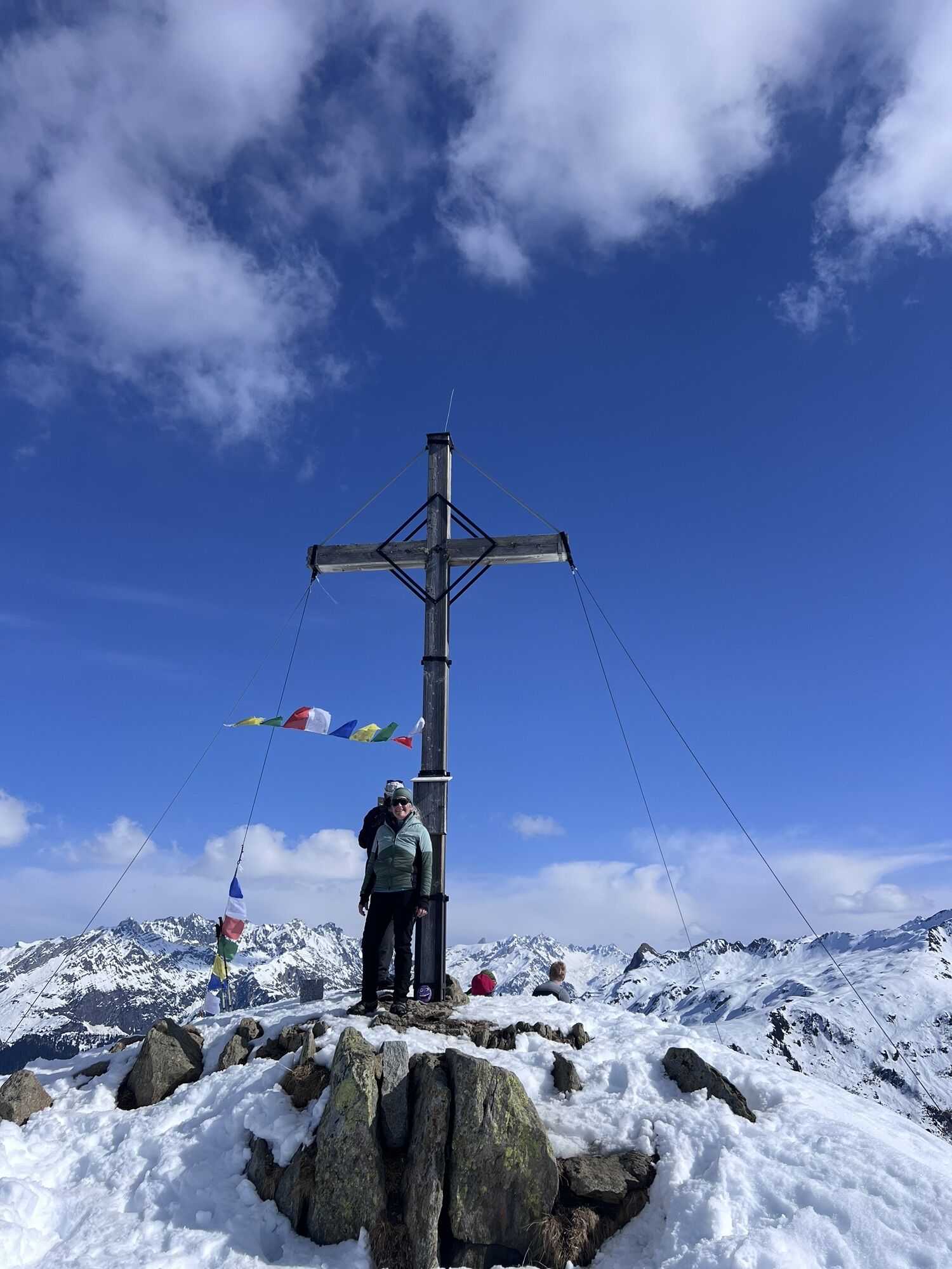
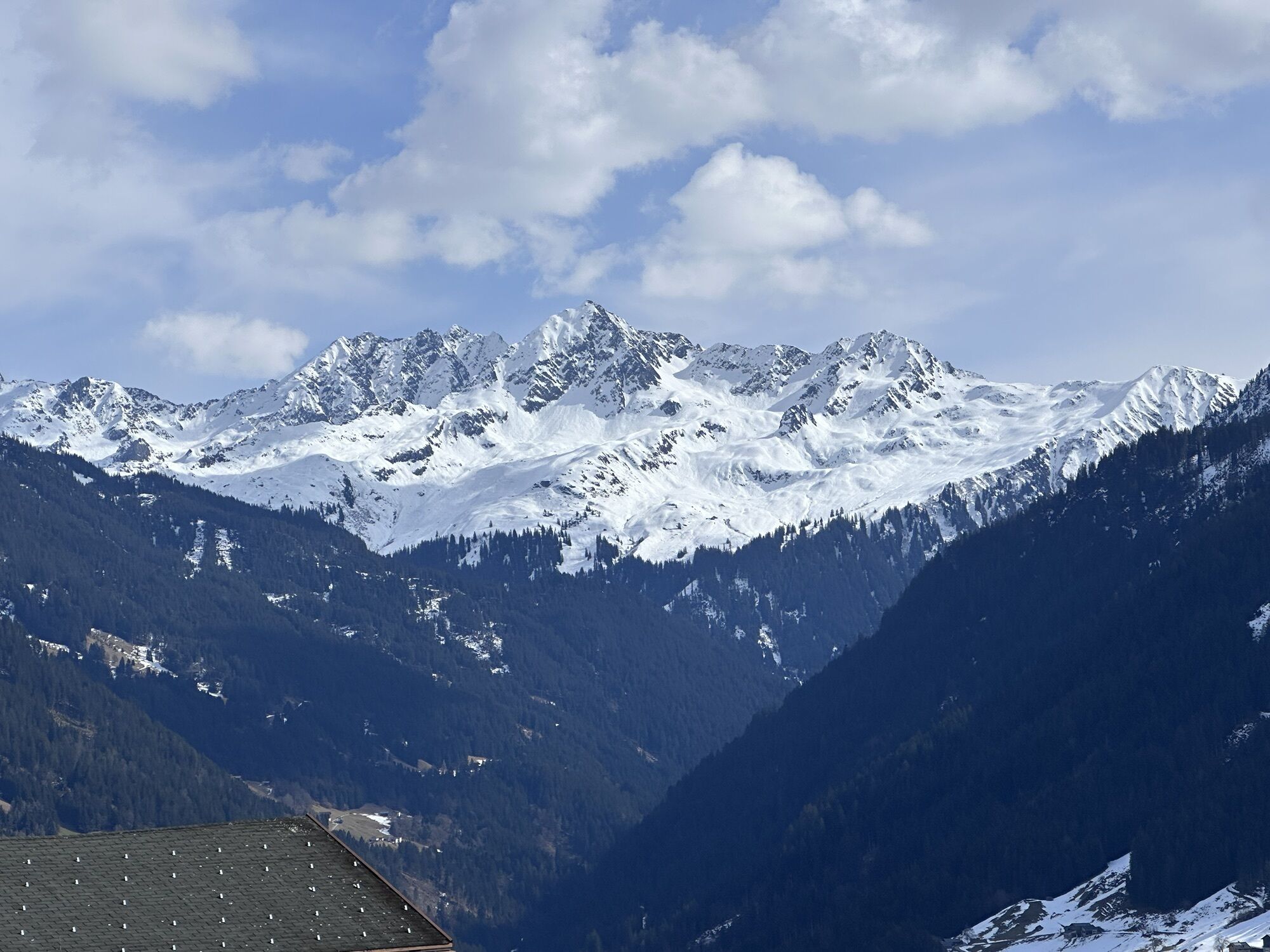
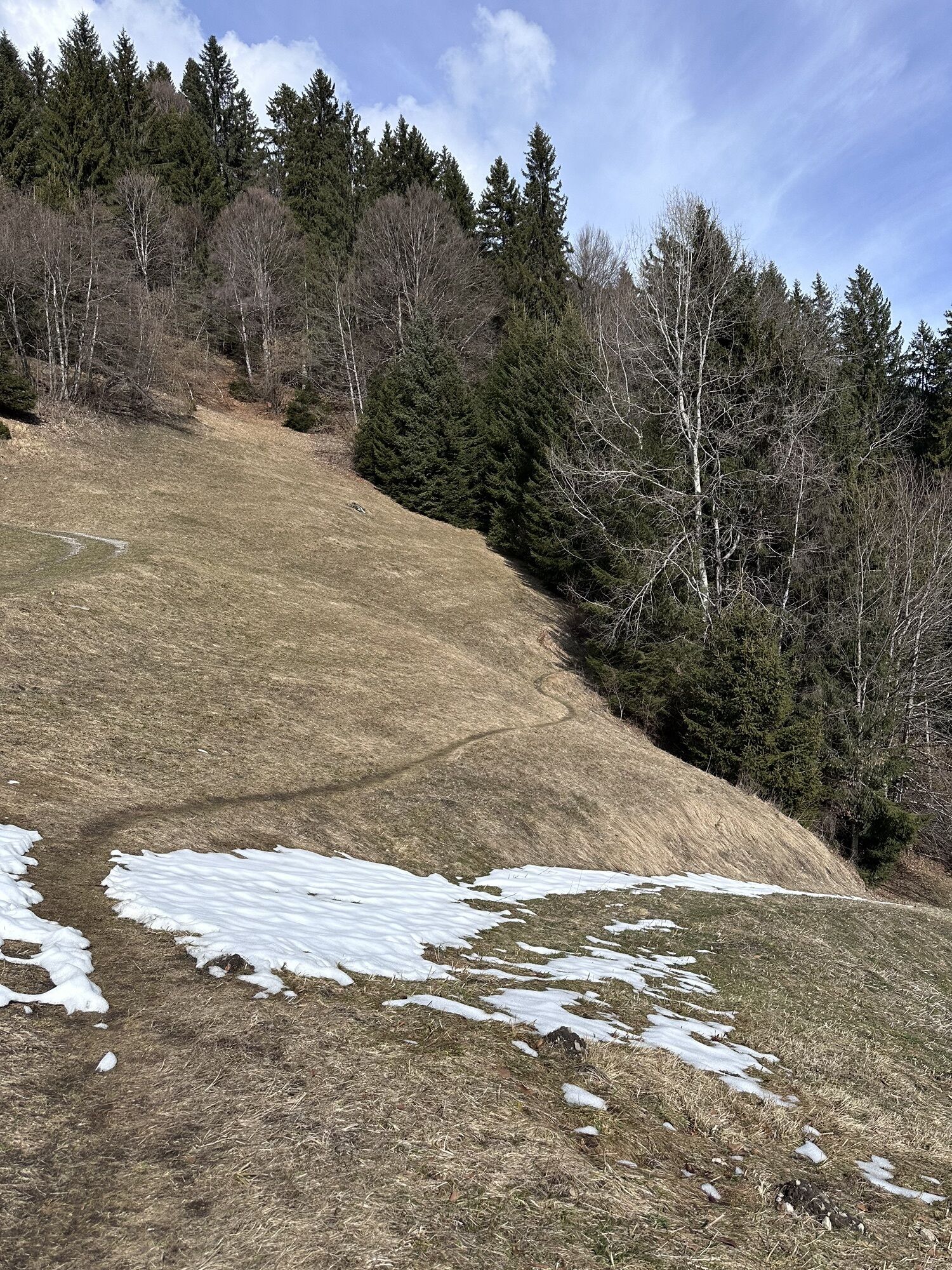
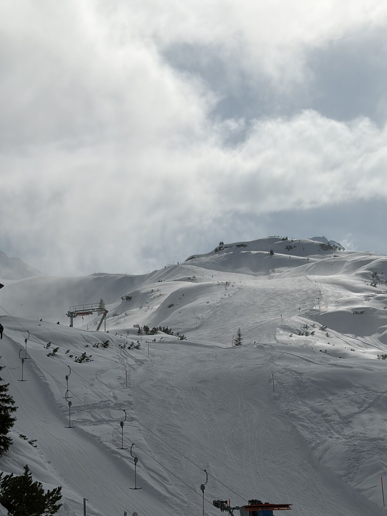
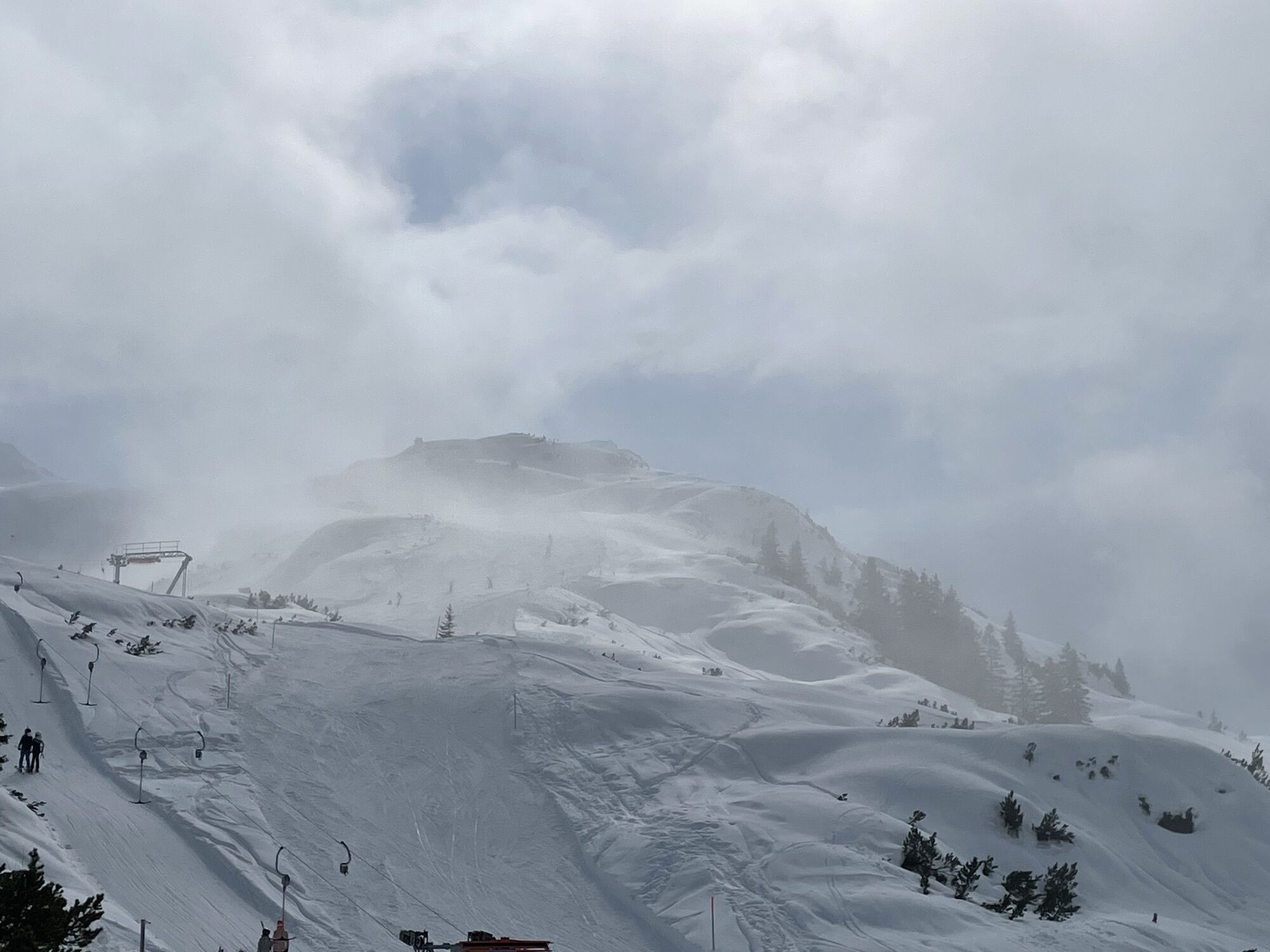
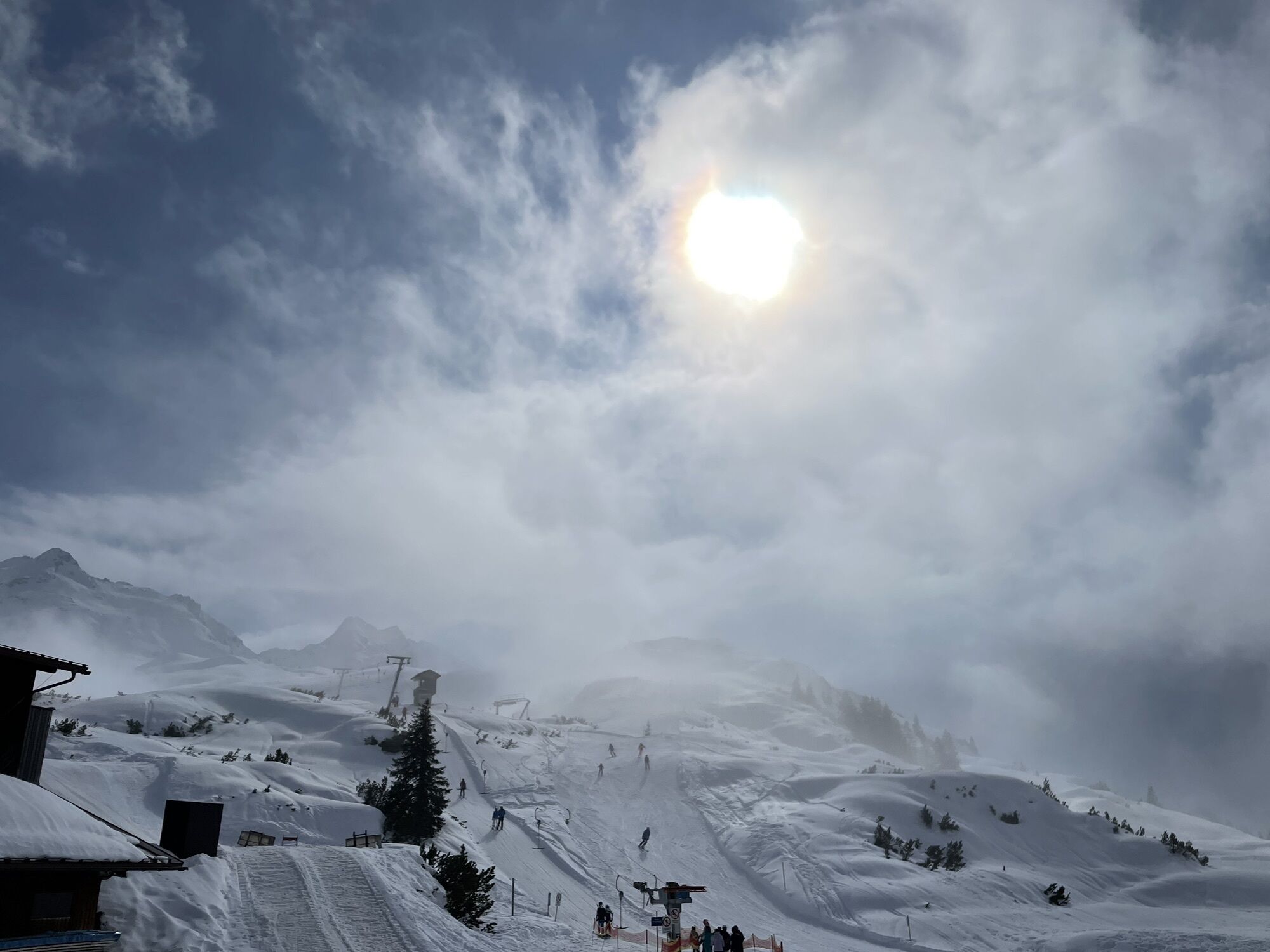
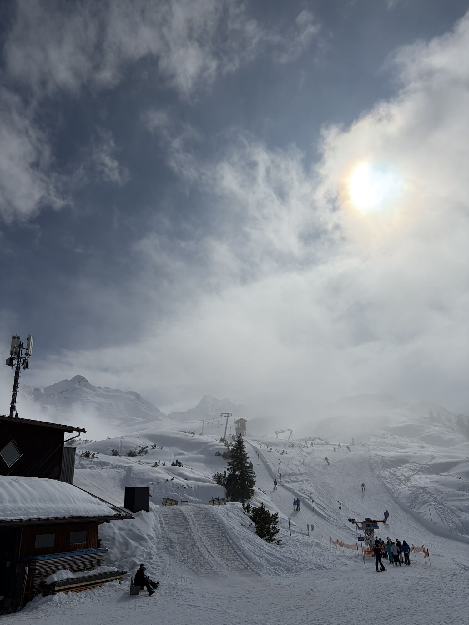
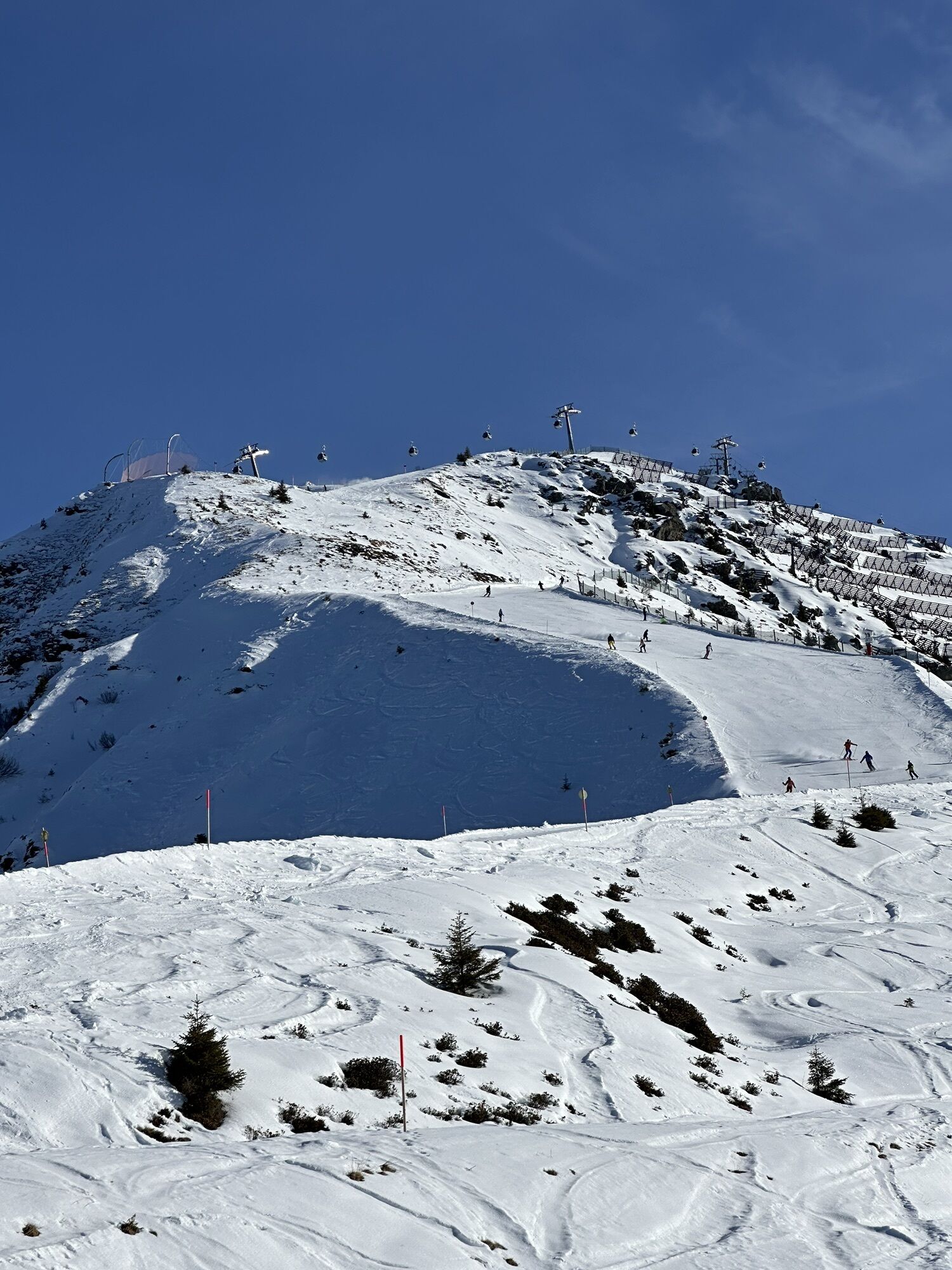
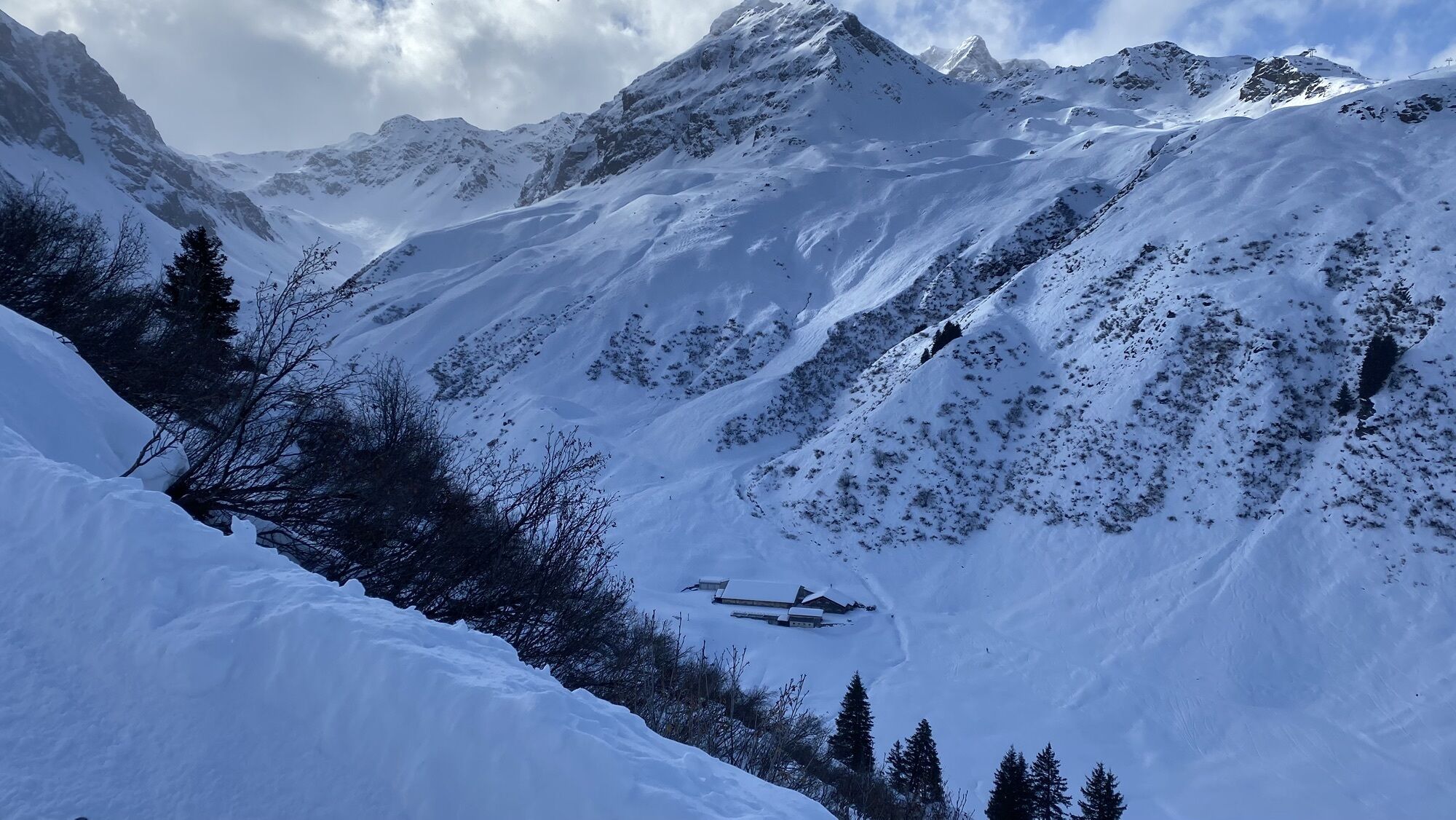
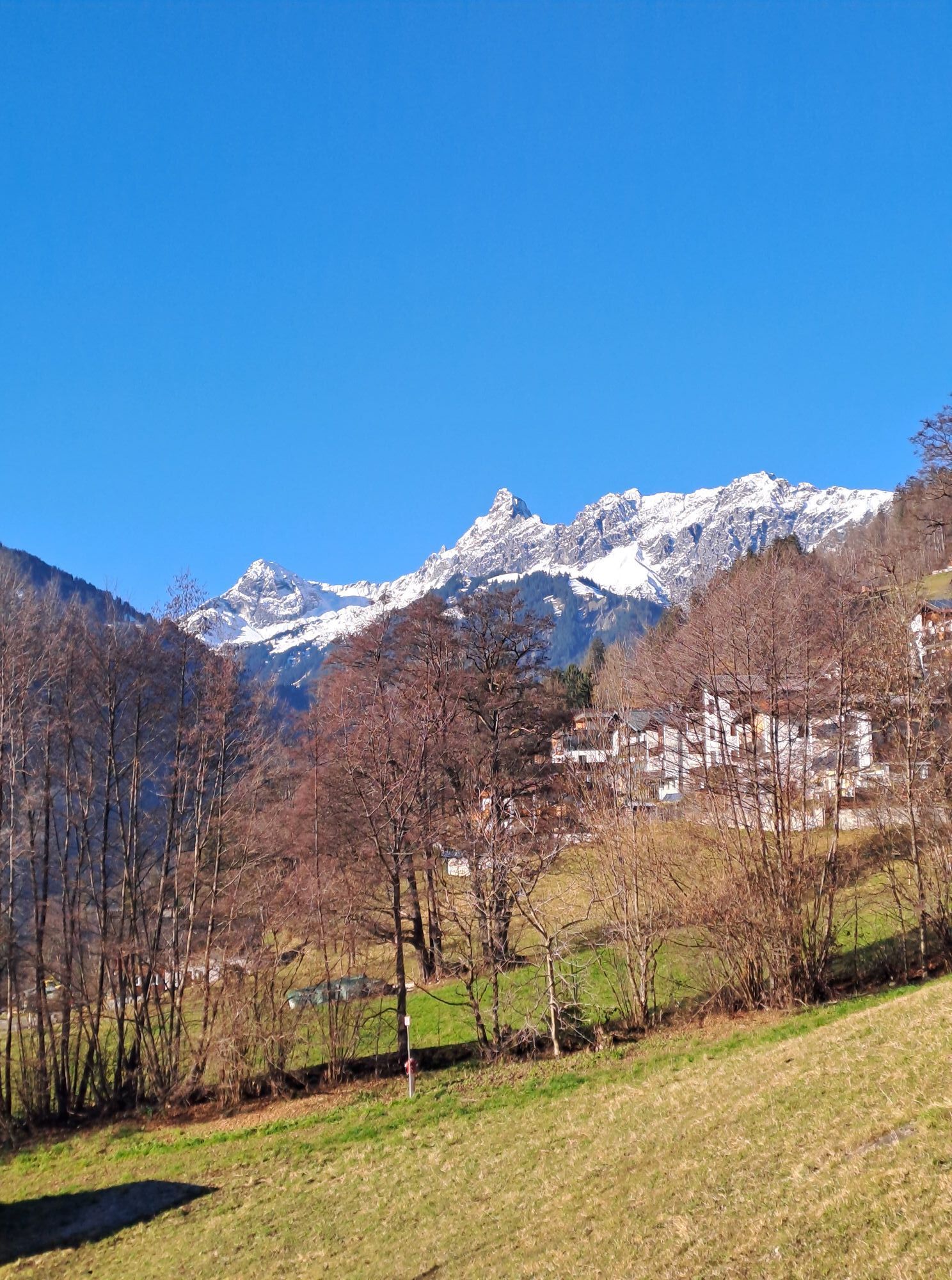
The Bike & Hike route leads from Schruns via Silbertal to Sonnenkopf, where the hike to the scenic summit Muttjöchle starts. There are also numerous places to stop along one of the most popular Bike &...
The Bike & Hike route leads from Schruns via Silbertal to Sonnenkopf, where the hike to the scenic summit Muttjöchle starts. There are also numerous places to stop along one of the most popular Bike & Hike routes in Montafon.
The given time includes walking time.
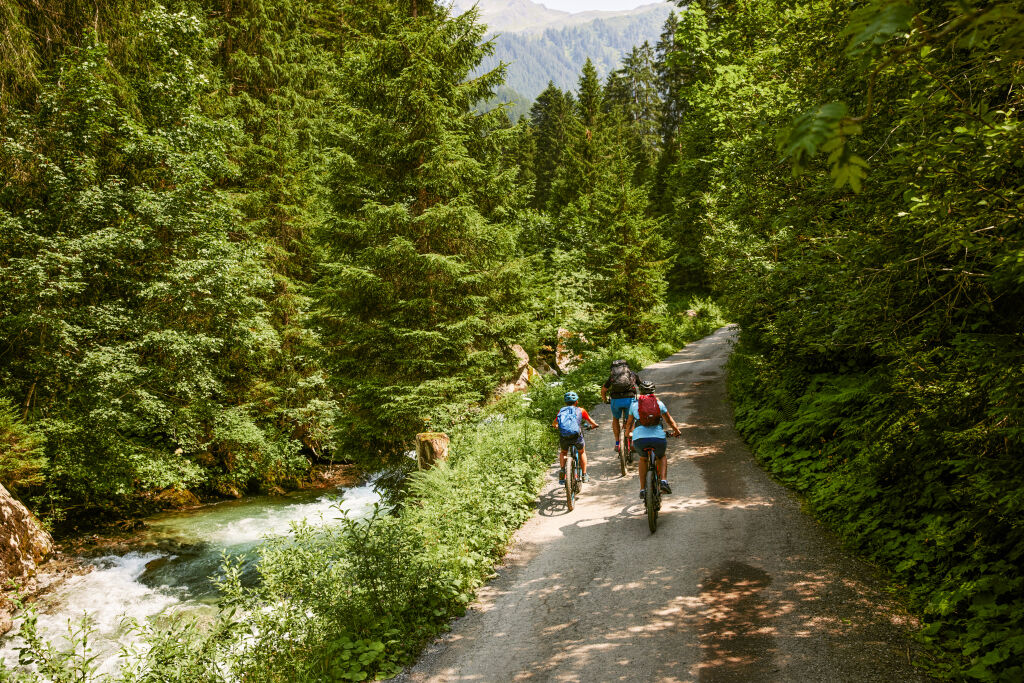
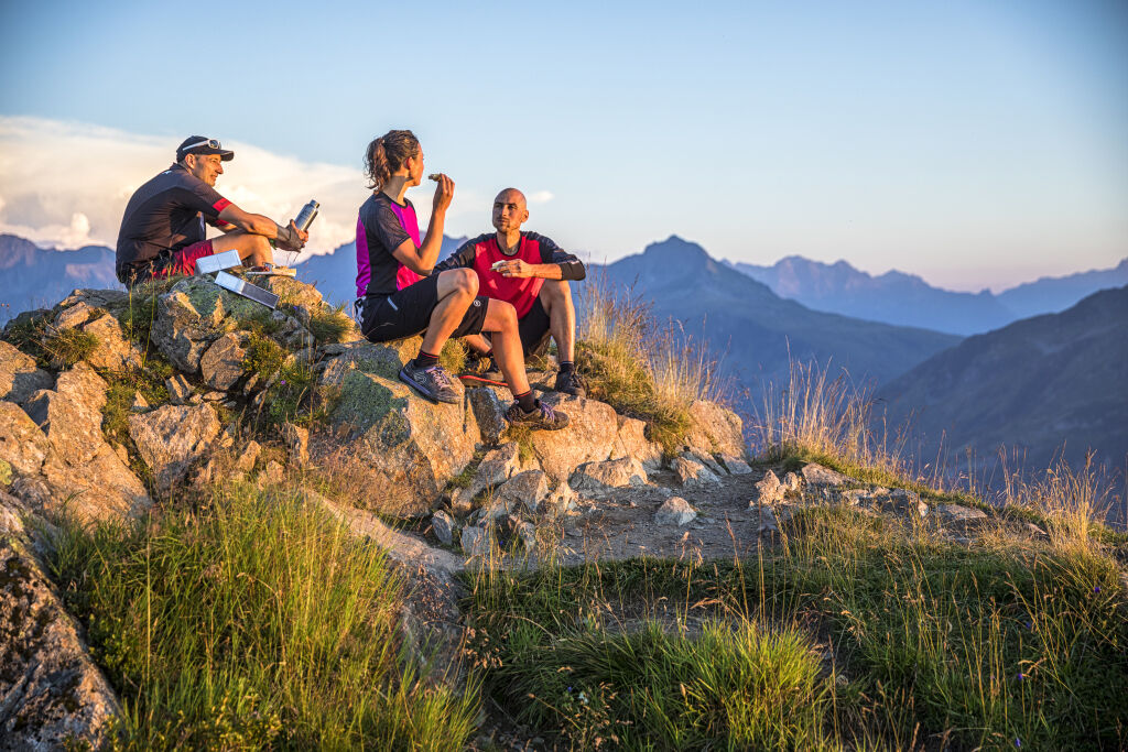
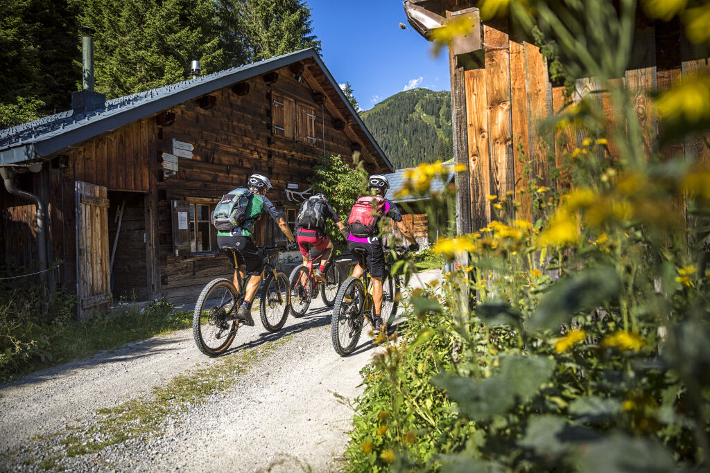
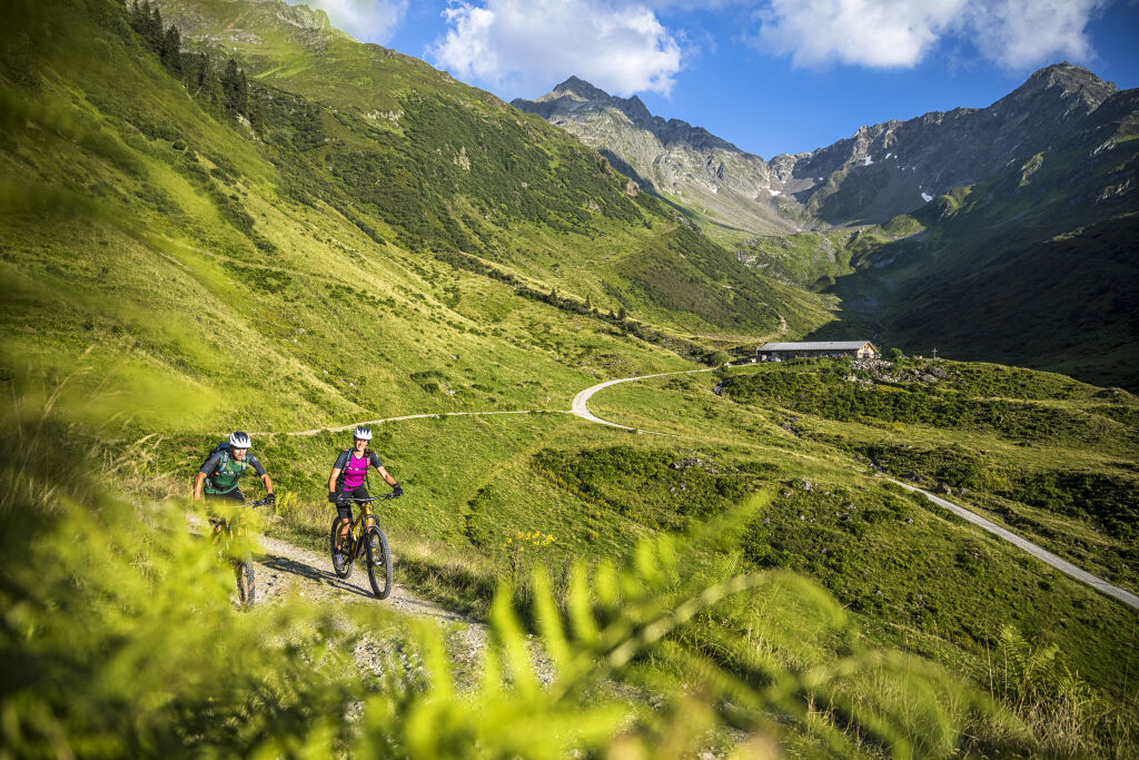
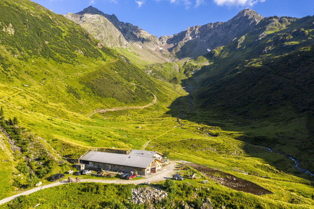

From Aktivpark Montafon follow the signpost on the road into Silbertal. At the end of the village Silbertal (near the rock parking lot) the path leads upstream on the left side of the wild stream to Gasthof Fellimännle.
After a few minutes the path splits, where you turn left. The gravel path now leads past Gasthof Hasahüsli and further into the Wasserstuben valley. Past the lower and upper Wasserstuben alpine pastures to the mountain station of the Sonnenkopf cable car.
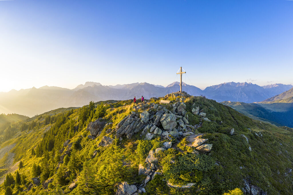
Here you leave your e-mountain bike and continue on foot. Follow the hiking trail signs to the summit of Muttjöchle, which you reach after about 1 hour.
The return route is the same up to the lower Wasserstuben alpine pasture. Shortly after the Wasserstuben alpine pasture follow the signpost towards Kristberg. At Kristberg continue towards Bartholomäberg-Kristberg. At the church in Innerberg turn right on the main road towards Bartholomäberg. After a few meters, the bike path turns left into the forest (direction Hölle) - signpost to Schruns. Afterwards, you can turn right towards Bärger Straße (main road - easier way) or take the steeper path with some single trail sections back to Schruns.
Bike: Aktivpark Montafon - Silbertal - Wasserstubental - Sonnenkopf
Hike: Sonnenkopf - Muttjöchle - Sonnenkopf
Bike: Sonnenkopf - Kristberg - Bartholomäberg/Innerberg - Bartholomäberg/Hölle - Schruns
Tak
Spare battery, charger, bike helmet, day bike backpack (approx. 20 liters) with rain cover, comfortable sports shoes, possibly bike shoes, weather-appropriate and durable clothing in layers, possibly cycling jersey, possibly cycling gloves, tire pump, bike tools, sun and rain protection, provisions and drinking water, water bottle and suitable holder, first aid kit, pocket knife, mobile phone, possibly mobile phone holder for the handlebar, possibly headlamp and reflectors, maps as well as telescopic hiking poles if hiking.
EMERGENCY NUMBER: 144
112 European emergency number (works with any mobile phone/network)⯠â¯â¯
Just leave your car behind.
From Schruns train station you can quickly reach the starting point with your bike
Arrival by train
From Bludenz station, the Montafon railway runs hourly (partly every half hour). There are also direct connections from Lindau (D) and from Bregenz.
3
The Montafoner Sura Kees (cheese specialty of Montafon) can be tasted at the upper Wasserstubenalpe.

Kamery internetowe z trasy
-
Bergstation Sonnenkopf
-
Hochjoch Bahn Bergstation
-
Montafoner Kristbergbahn Bergstation
-
Panoramagasthof Kristberg
-
Panoramagasthof Kristberg
-
Kristberglift mit St. Agatha Kirche
-
Kinderland Skischule Silbertal
-
Matschwitz Mittelstation
-
Bergstation Hochalpila Bahn
-
Silbertal Dorf
-
Innerberg
-
Golm - Matschwitz
-
Silvretta-Montafon - Panorama Bahn
-
Bartholomäberg
-
Bartholomäberg
-
Bergstation Sonnenkopf
-
Bergstation Sonnenkopf
-
Bergstation Sonnenkopf
-
Bergstation Sonnenkopf
-
Tschagguns
-
Schruns
-
Bartholomäberg - Ferienhotel Fernblick
-
Wormserhütte
-
Wormserhütte
-
Kapellbahn
-
Schlepplift Innerbach
-
Bartholomäberg
-
Bartholomäberg - Ferienhotel Fernblick
-
Bartholomäberg - Ferienhotel Fernblick
-
Bartholomäberg - Ferienhotel Fernblick
Uzyskaj wgląd
Zawsze na żywo z ponad 9 500 kamer internetowych. bergfex Jako użytkownik Pro, możesz teraz zobaczyć odpowiednie kamery internetowe dla wielu wycieczek w aplikacji wycieczki od. Pozwala to na bezpośredni podgląd aktualnych warunków.
Popularne wycieczki w okolicy
-
4,7
Kristberg - Wasserstubental - Silbertal
światłoWędrówka 13,8 km -
4,6
Over the historic mine and Fritzensee to Rellseck
średniWędrówka 7,25 km -
4,8
Heilbronner lodge
średniWędrówka 13,0 km -
4,9
Alpgues Runde
średniWędrówka 9,21 km -
4,1
Stuben - Stubner See - Kaltenberghütte - Stuben
średniWędrówka 9,90 km -
4,8
Braunarlspitze
ciężkiWędrówka 16,6 km -
5,0
Wiegensee-Kopssee
średniWędrówka 8,17 km -
3,3
Dalaas - Freiburgerhütte
średniWędrówka 8,40 km -
4,7
From Klostertal over the Muttjöchle back to Montafon
średniWędrówka 6,70 km -
5,0
Wiegenseeweg
średniTrasa tematyczna 12,7 km
Wędrówki i tropienie


Nie przegap ofert i inspiracji na następne wakacje
Twój adres e-mail została dodana do listy mailingowej.





