


Duringweg - Längenfeld
Zdjęcia naszych użytkowników
-
 © DIIMUtworzono dnia 13.10.2022
 -
 © Kasch0Utworzono dnia 01.06.2023
 -
 © Kasch0Utworzono dnia 01.06.2023
 -
 © Kasch0Utworzono dnia 01.06.2023
 -
 © Kasch0Utworzono dnia 01.06.2023
 -
 © DIIMUtworzono dnia 13.10.2022
 -
 © DIIMUtworzono dnia 13.10.2022
 -
 © DIIMUtworzono dnia 13.10.2022
 -
 © Werner FögerUtworzono dnia 14.08.2025

The hike starts at the Nature Park House in Oberlängenfeld. You walk towards Aqua Dome, cross the Ötztaler Ache and continue to the Pestkapelle. Follow the hiking trail towards Oberrieder Stabele and soon...
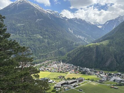
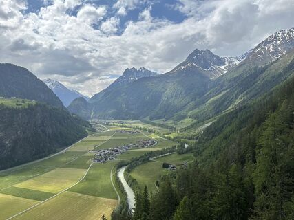
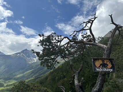
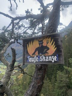
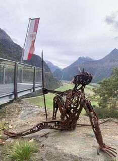
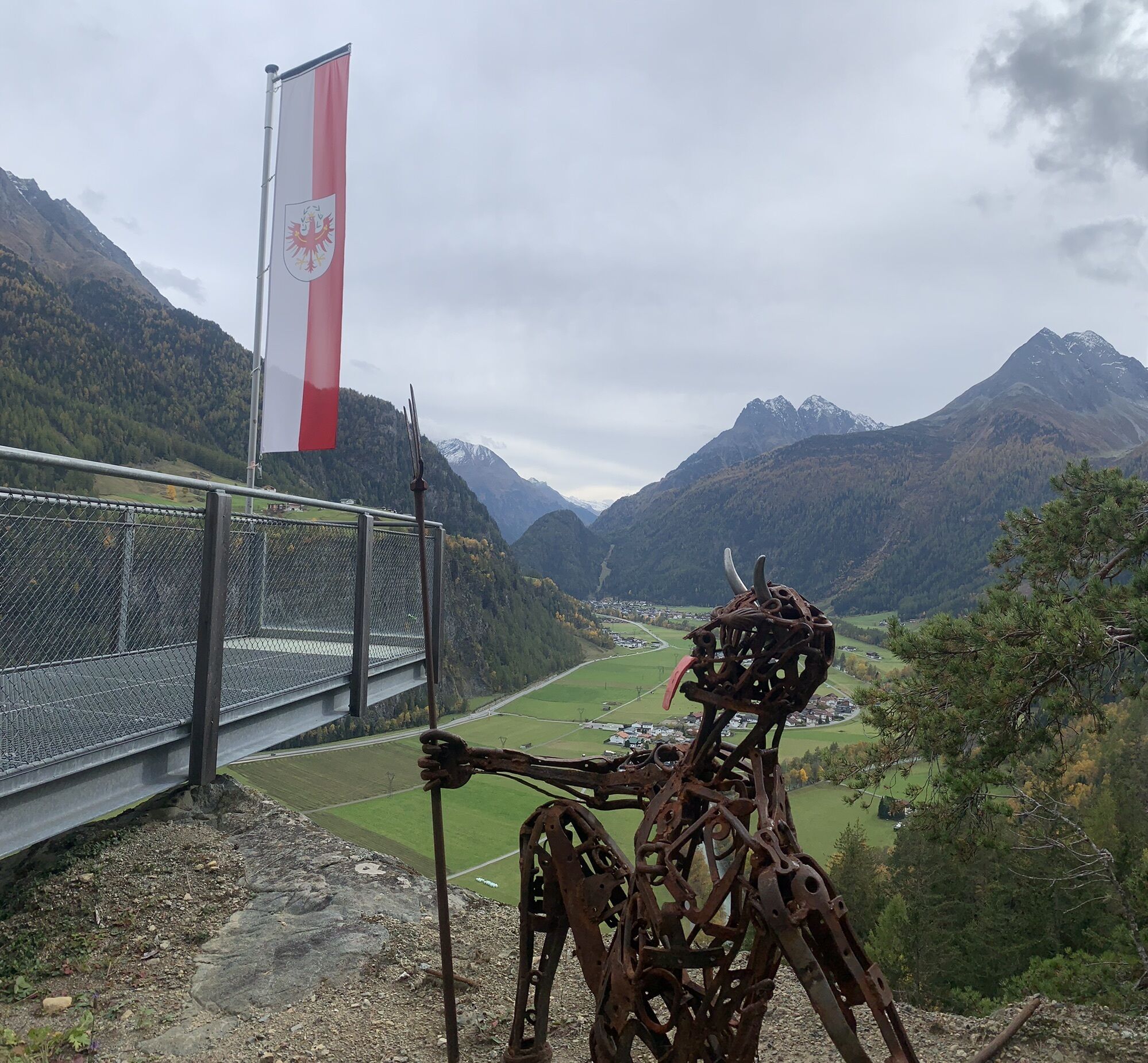
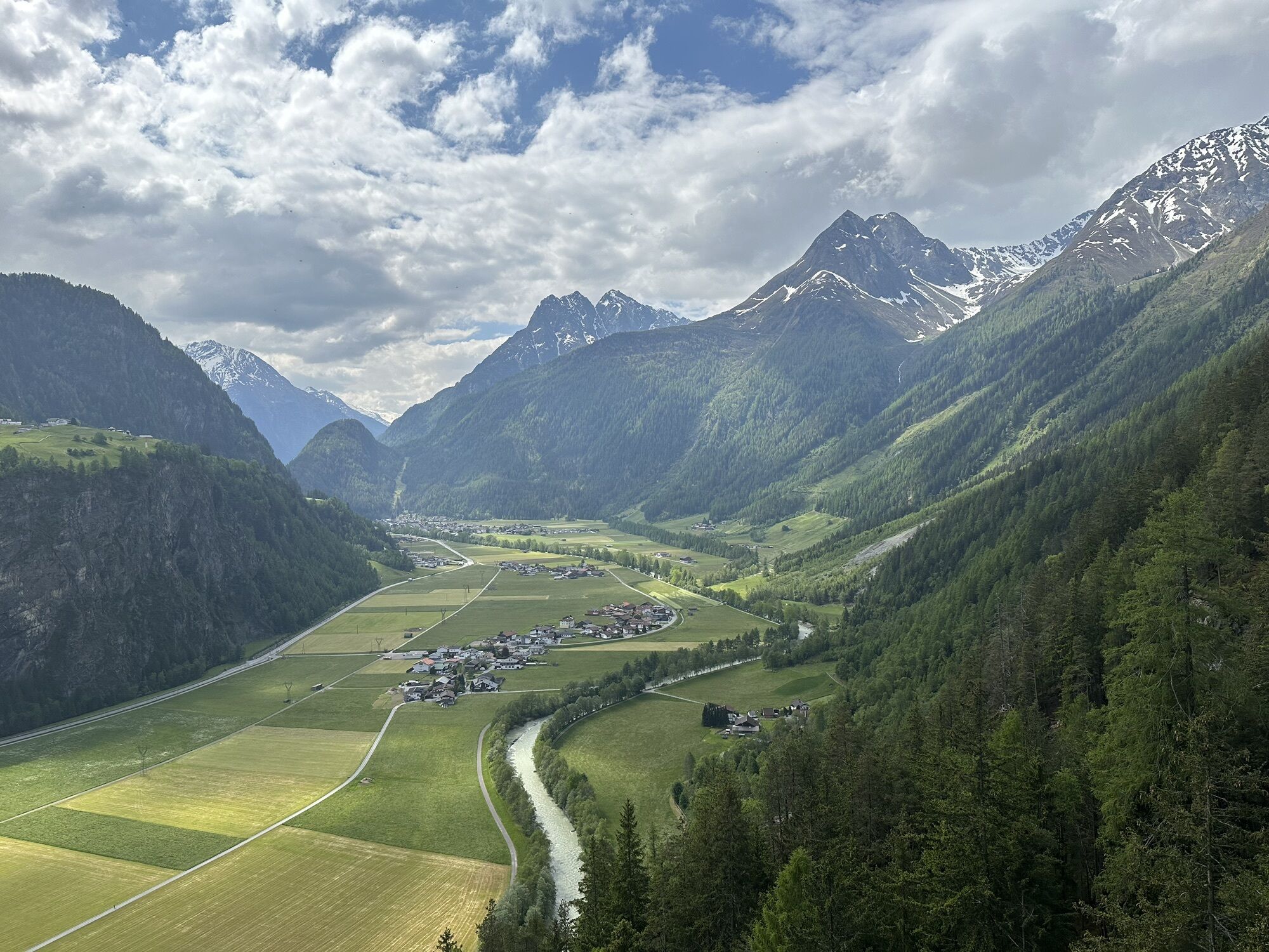
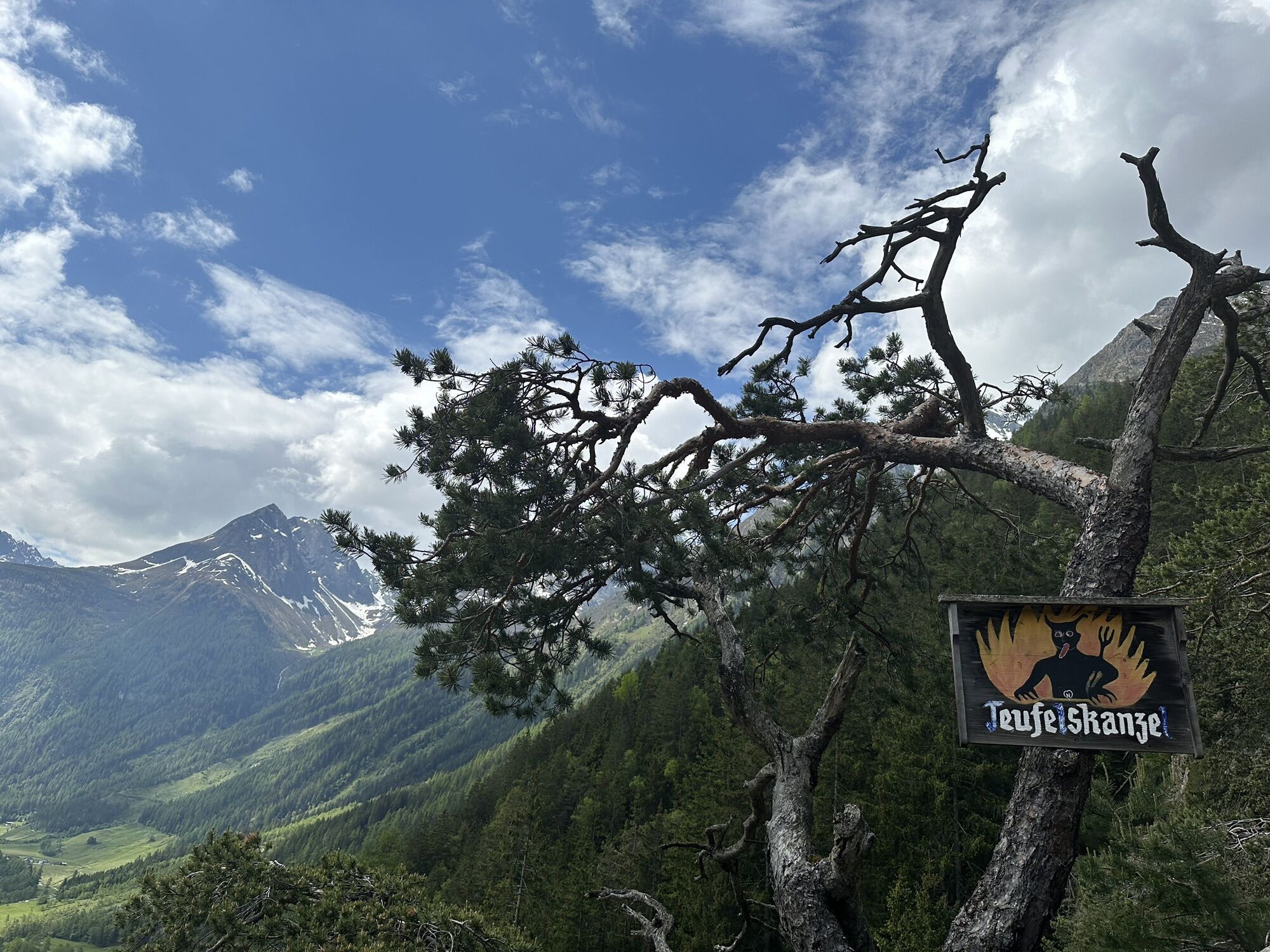
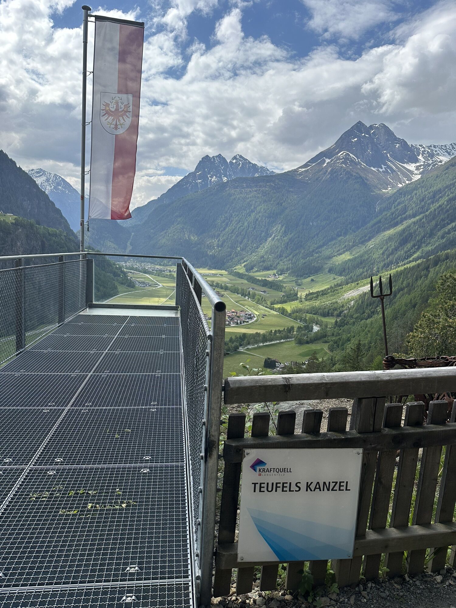
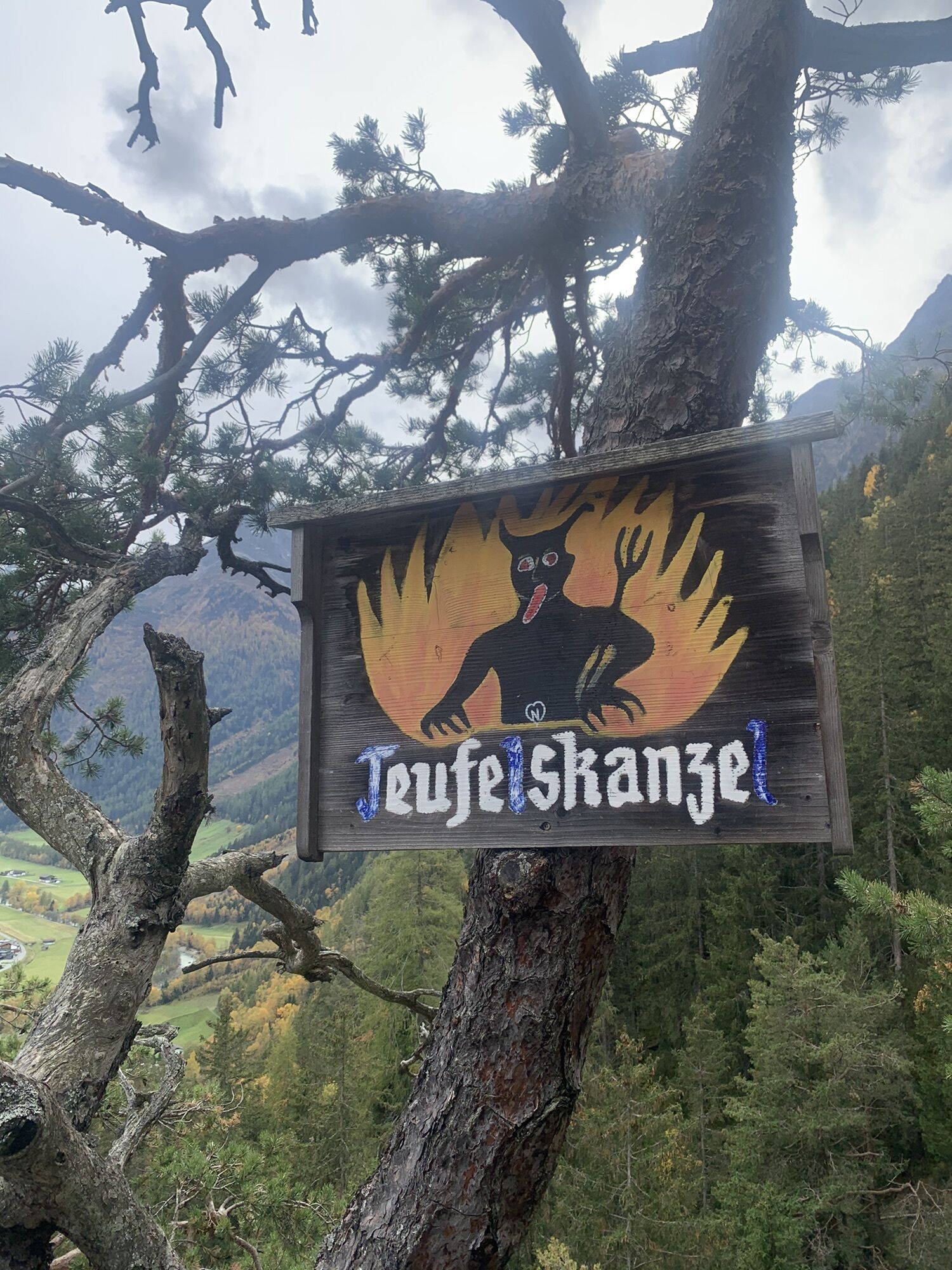
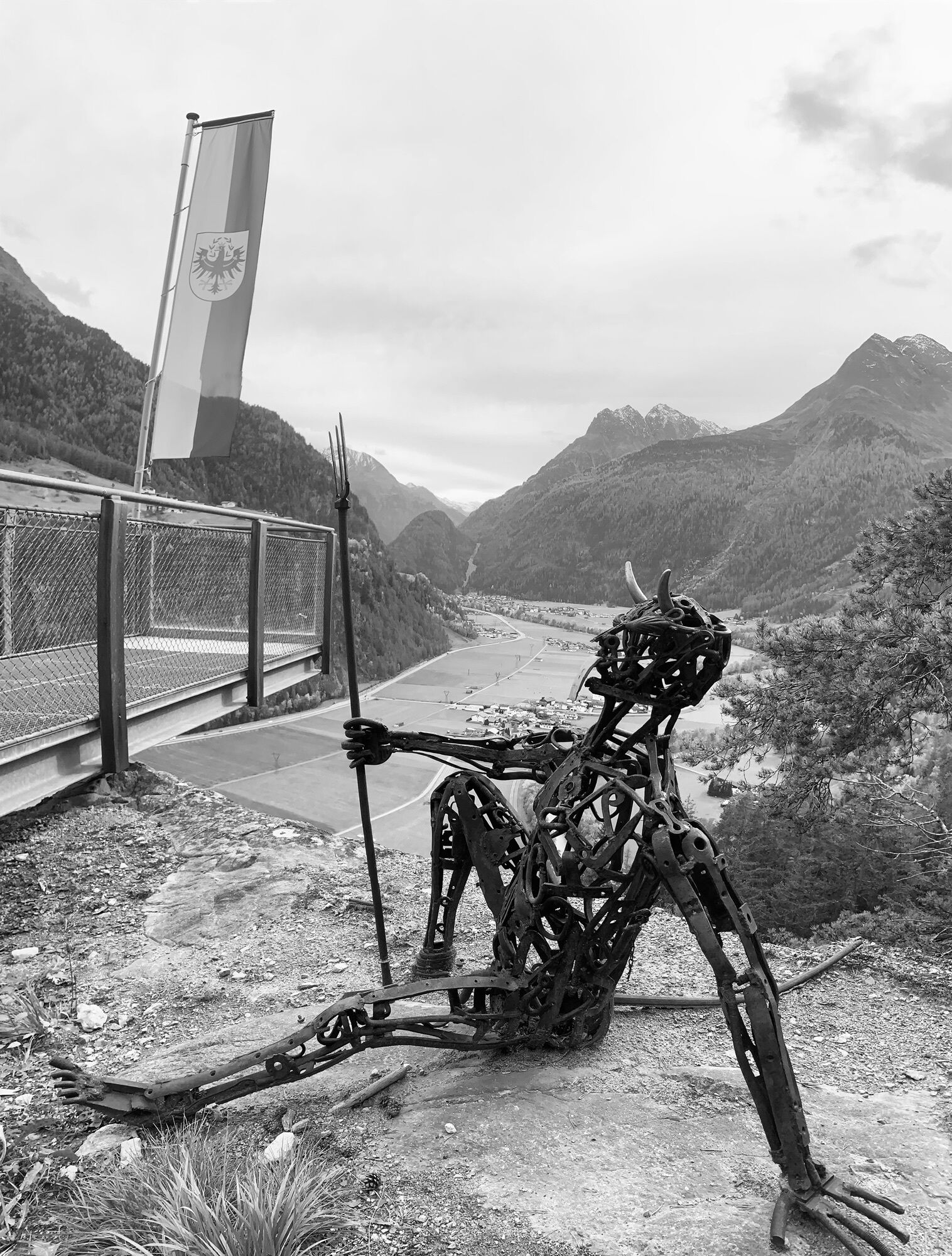
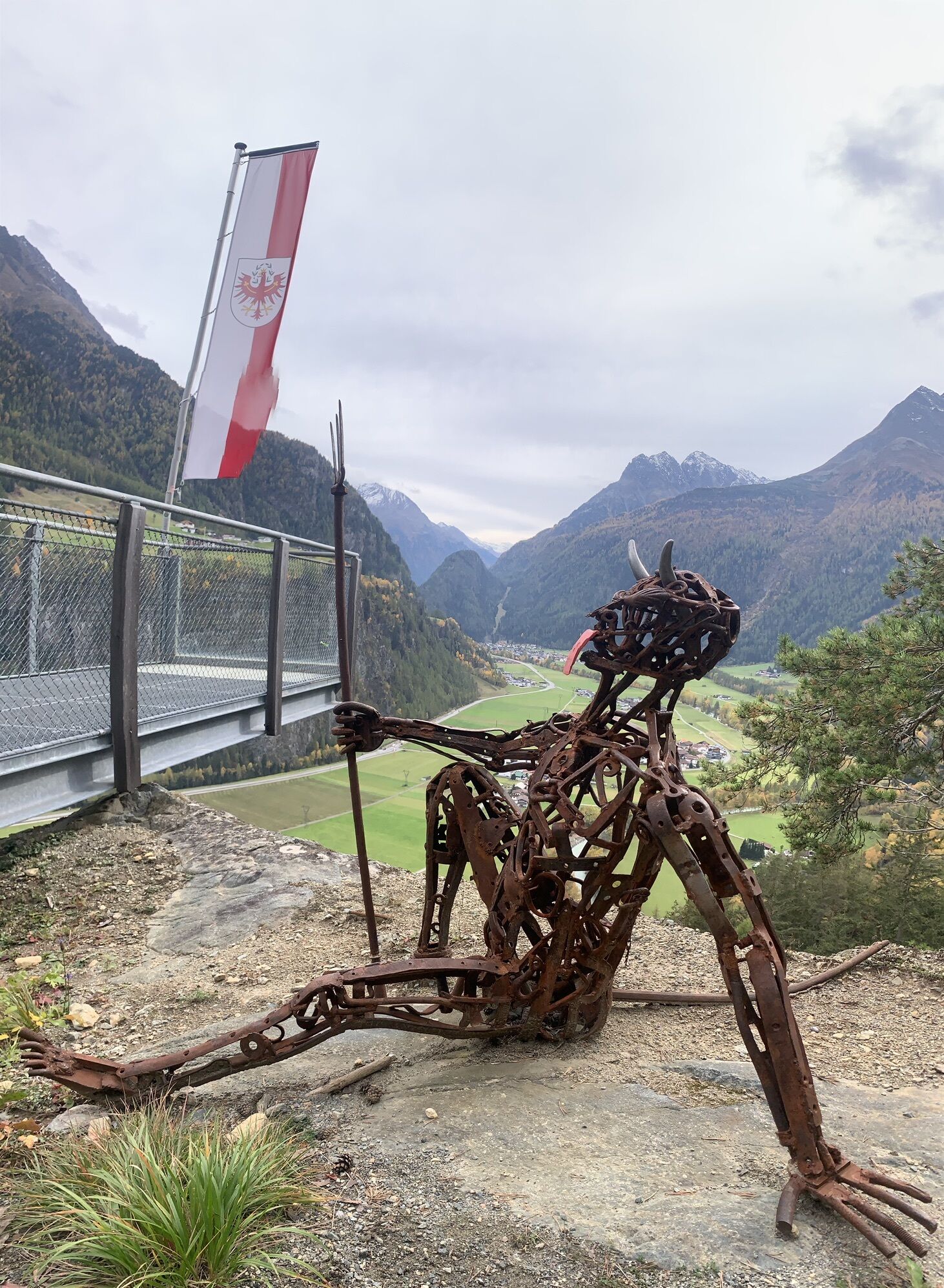
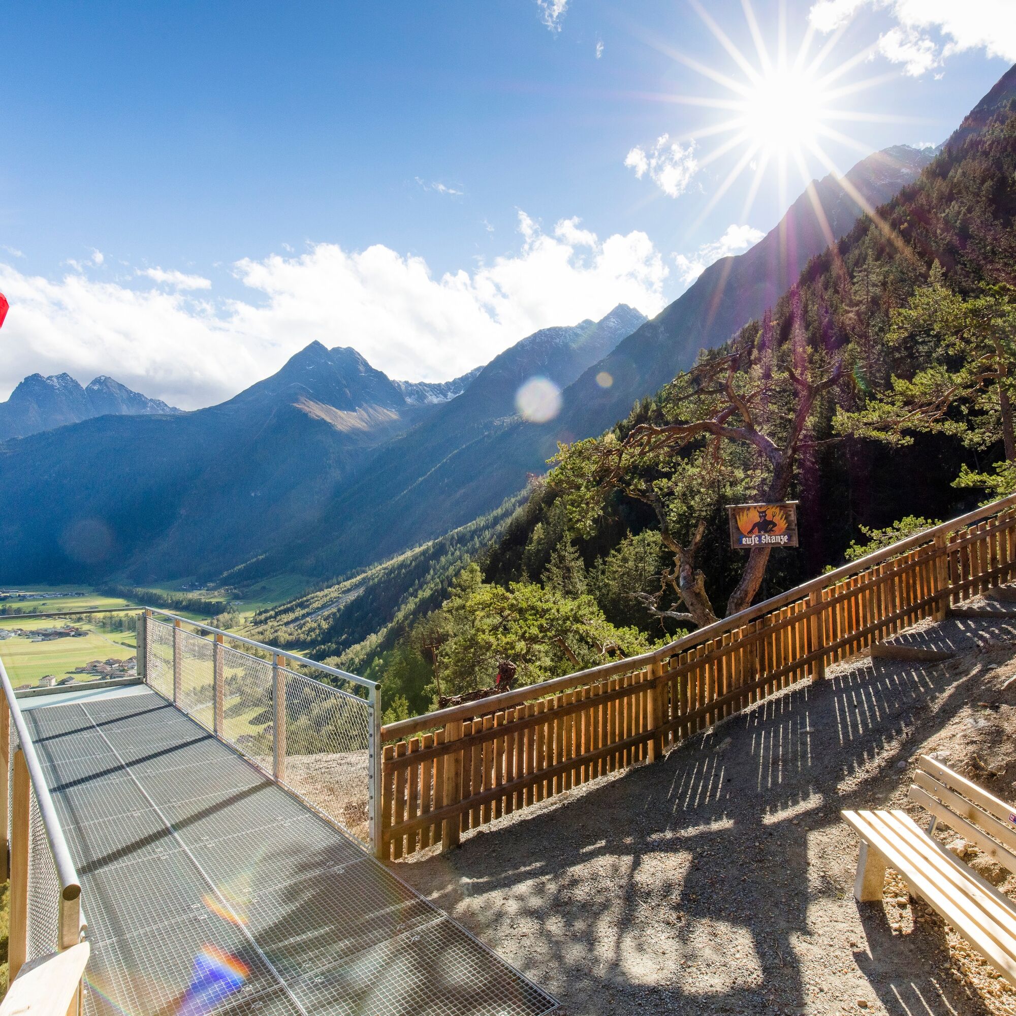
The hike starts at the Nature Park House in Oberlängenfeld. You walk towards Aqua Dome, cross the Ötztaler Ache and continue to the Pestkapelle. Follow the hiking trail towards Oberrieder Stabele and soon turn valley-inwards onto the Duringweg. The viewpoint "Teufelskanzel" is just a short detour. Along the way, original signposts, sparkling water features over rocks, and beautiful views of the Längenfelder valley basin surprise you. First gently, then a bit steeper, you descend into the Astlehn district to then hike downstream along the bank of the Ötztaler Ache to the Aqua Dome.
From the Aqua Dome, you walk back through the village of Längenfeld to the Nature Park House.

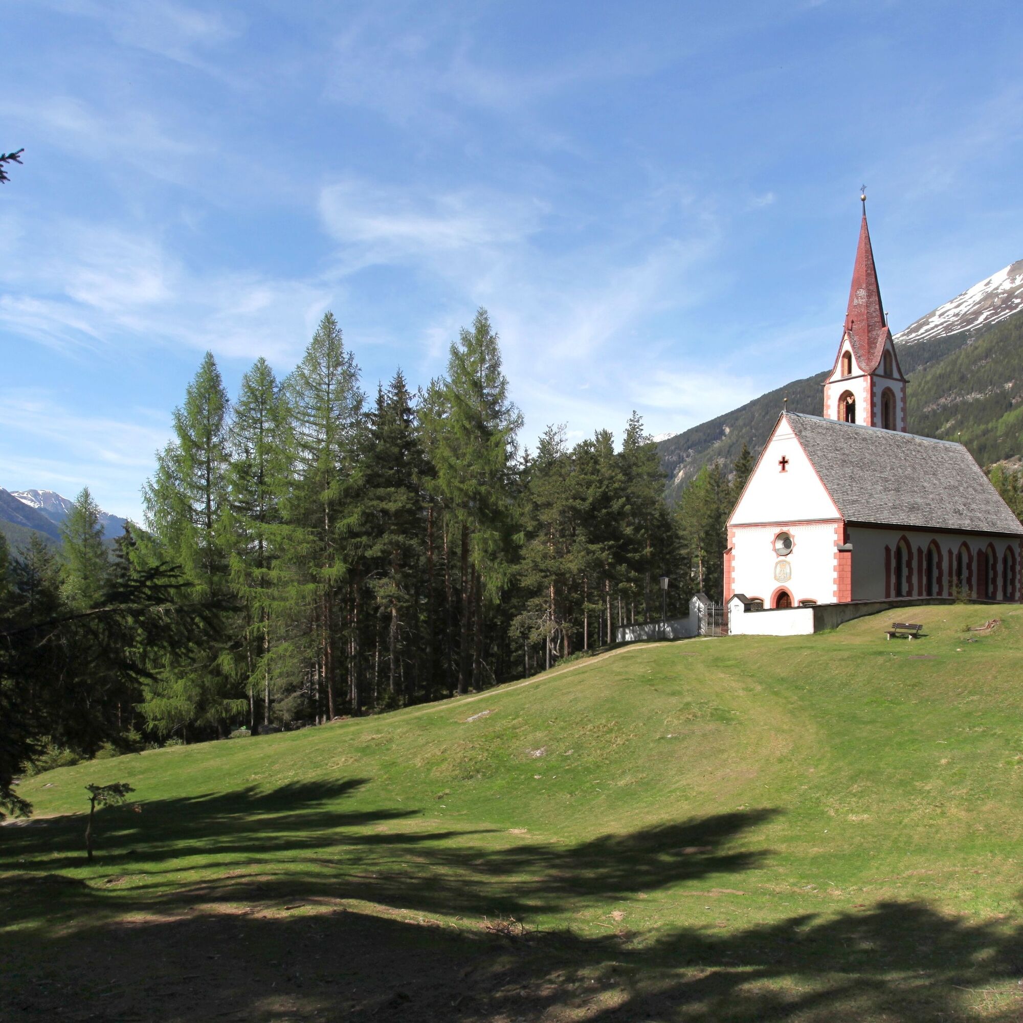
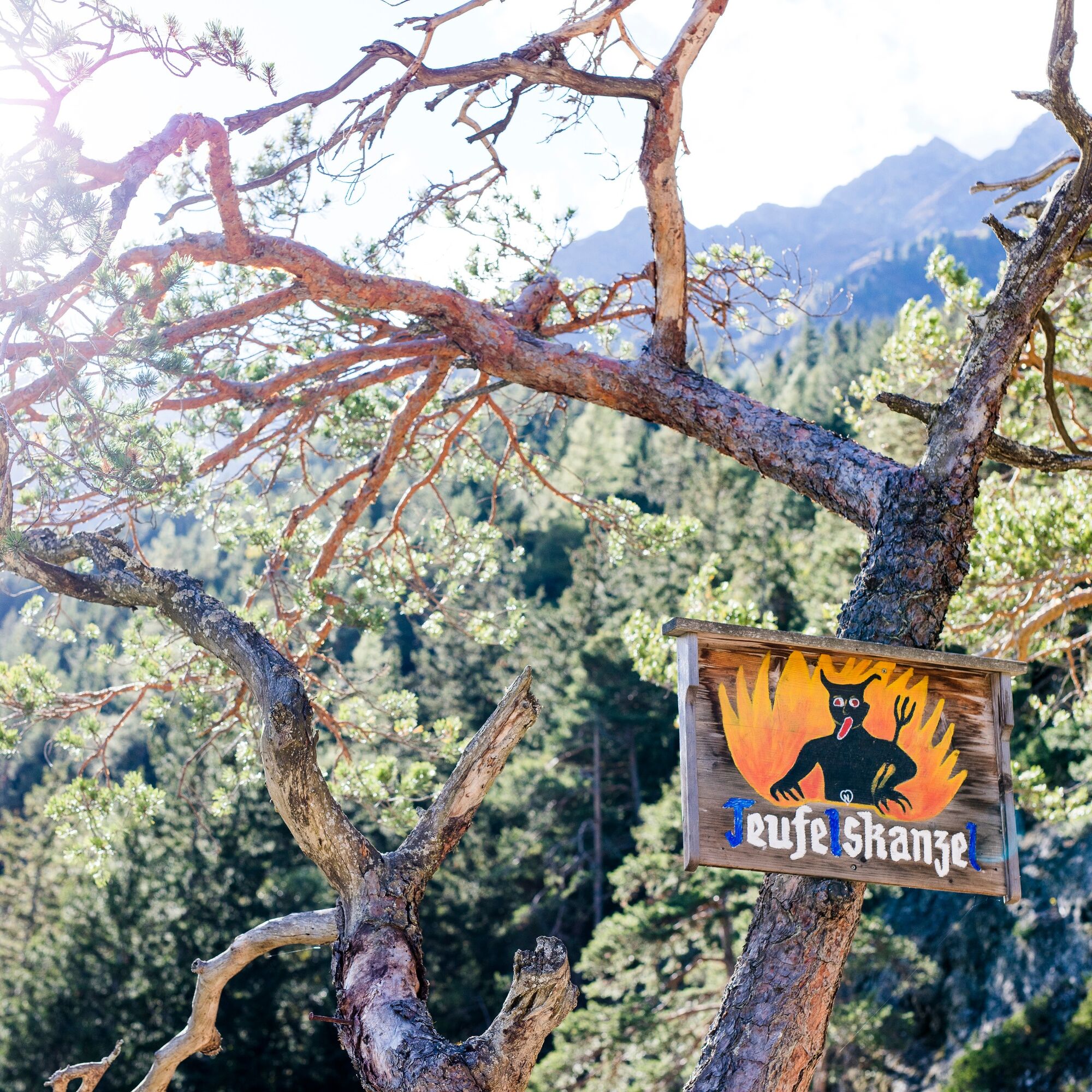
The hike starts at the Nature Park House in Oberlängenfeld. You walk towards Aqua Dome, cross the Ötztaler Ache and continue to the Pestkapelle. Follow the hiking trail towards Oberrieder Stabele and soon turn valley-inwards onto the Duringweg. The viewpoint "Teufelskanzel" is just a short detour. Along the way, original signposts, sparkling water features over rocks, and beautiful views of the Längenfelder valley basin surprise you. First gently, then a bit steeper, you descend into the Astlehn district to then hike downstream along the bank of the Ötztaler Ache to the Aqua Dome. From the Aqua Dome, you walk back through the village of Längenfeld to the Nature Park House.
Tak
Appropriate equipment such as breathable and weather-appropriate outdoor clothing is required for all hikes and routes. It is necessary to bring a first aid kit, a mobile phone, and possibly a hiking map, as well as sufficient provisions for hikes without the possibility of stopping for refreshments.
.
Medium-difficulty mountain path; suitable for sure-footed and experienced mountain hikers; good physical fitness, mountain experience, and mountain equipment (see equipment) necessary. Please note the current weather report
The car journey to the ÖTZTAL
Arrival by car leads visitors through the Inn valley to the mouth of the valley and then further along the Ötztal. Besides the toll highway, country roads can also be used. With the route planner, your journey can be quickly and conveniently determined. To the route planner: https://www.google.at/maps
Travel comfortably and safely by train. The final stop or drop-off point is the ÖTZTAL train station. Afterwards, you can conveniently and quickly travel with public transport or local taxi companies through the entire valley to your desired destination. The current bus schedule is available at: http://fahrplan.vvt.at
The following parking options are available in Längenfeld:
Sports center – (football field and swimming pool) – free of charge Next to the old fire station (entrance towards the campsite) – free of charge Parking lot at the edge of the village of Längenfeld – (Nature Park House) free of charge Center of Längenfeld (limited number of parking spaces) free of chargeMore information about hiking in the Ötztal can be found here.
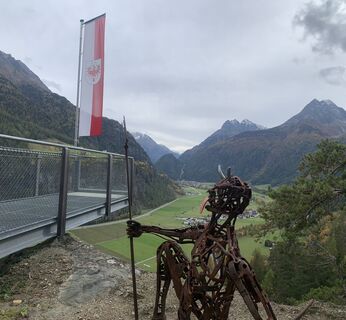
On this path you will encounter two power spots: Pestkapelle and Teufelskanzel - the perfect route to recharge your energy.
Popularne wycieczki w okolicy
-
4,5
Winnebachsee Hut – Längenfeld/Gries
średniWędrówka 4,74 km -
4,4
Stuibenfall Umhausen circular hike
światłoWędrówka 9,32 km -
4,1
Hike Stuibenfall - Umhausen
światłoWędrówka 2,95 km -
4,3
Amberger Hut - Längenfeld/Gries
średniWędrówka 5,60 km -
4,4
Rundwanderung Hängebrück3
światłoWędrówka 6,32 km -
4,7
Winter circular route Brandalm/Burgstein - Längenfeld 204
średniWędrówka zimą 5,44 km -
4,6
Umhausen - Stuibenfall - Umhausen
średniWędrówka 7,94 km -
4,7
Circular hike Bergmahderweg - Niederthai
światłoWędrówka 7,60 km -
4,1
Hohe Geige über Gawinden und den Westgrat
ciężkiWędrówka 14,3 km -
5,0
Larstigalm - Niederthai
światłoWędrówka 3,24 km
Wędrówki i tropienie


Nie przegap ofert i inspiracji na następne wakacje
Twój adres e-mail została dodana do listy mailingowej.