


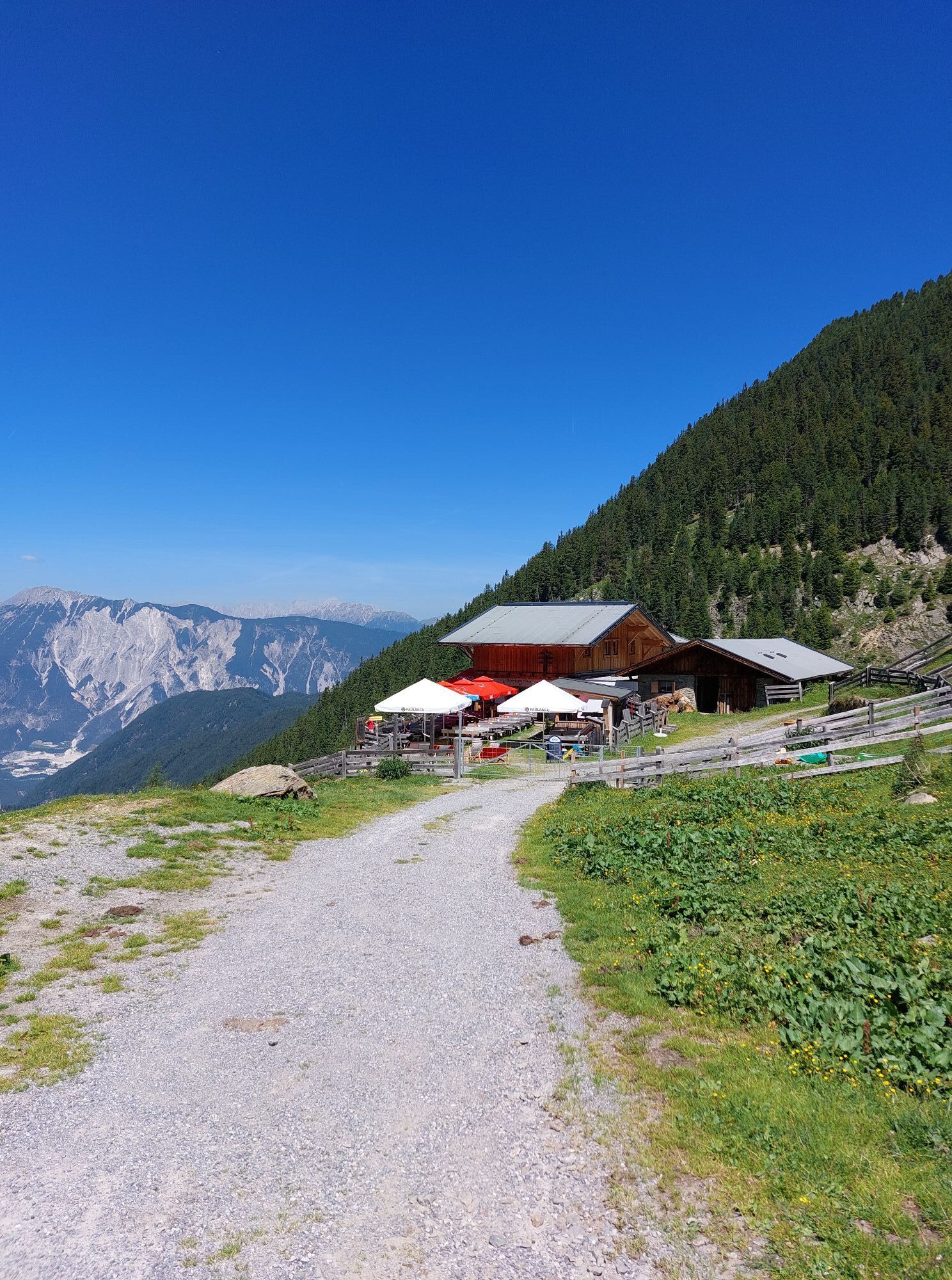
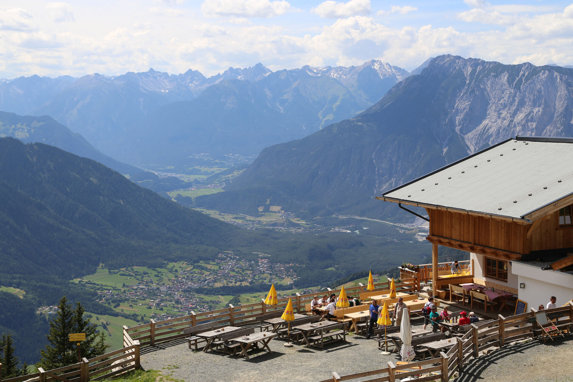
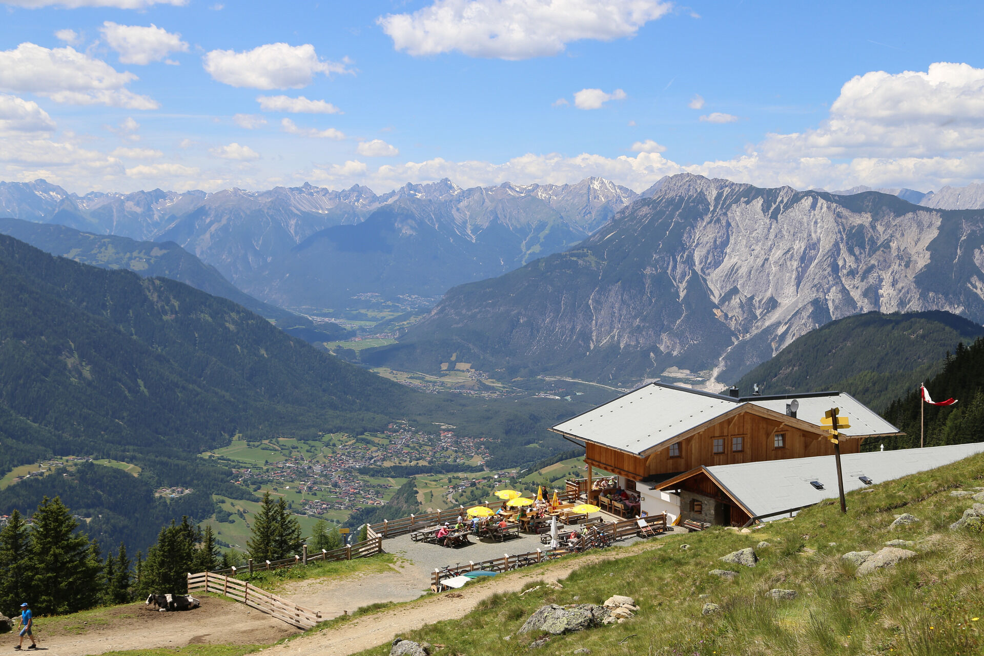
Acherberg Alm

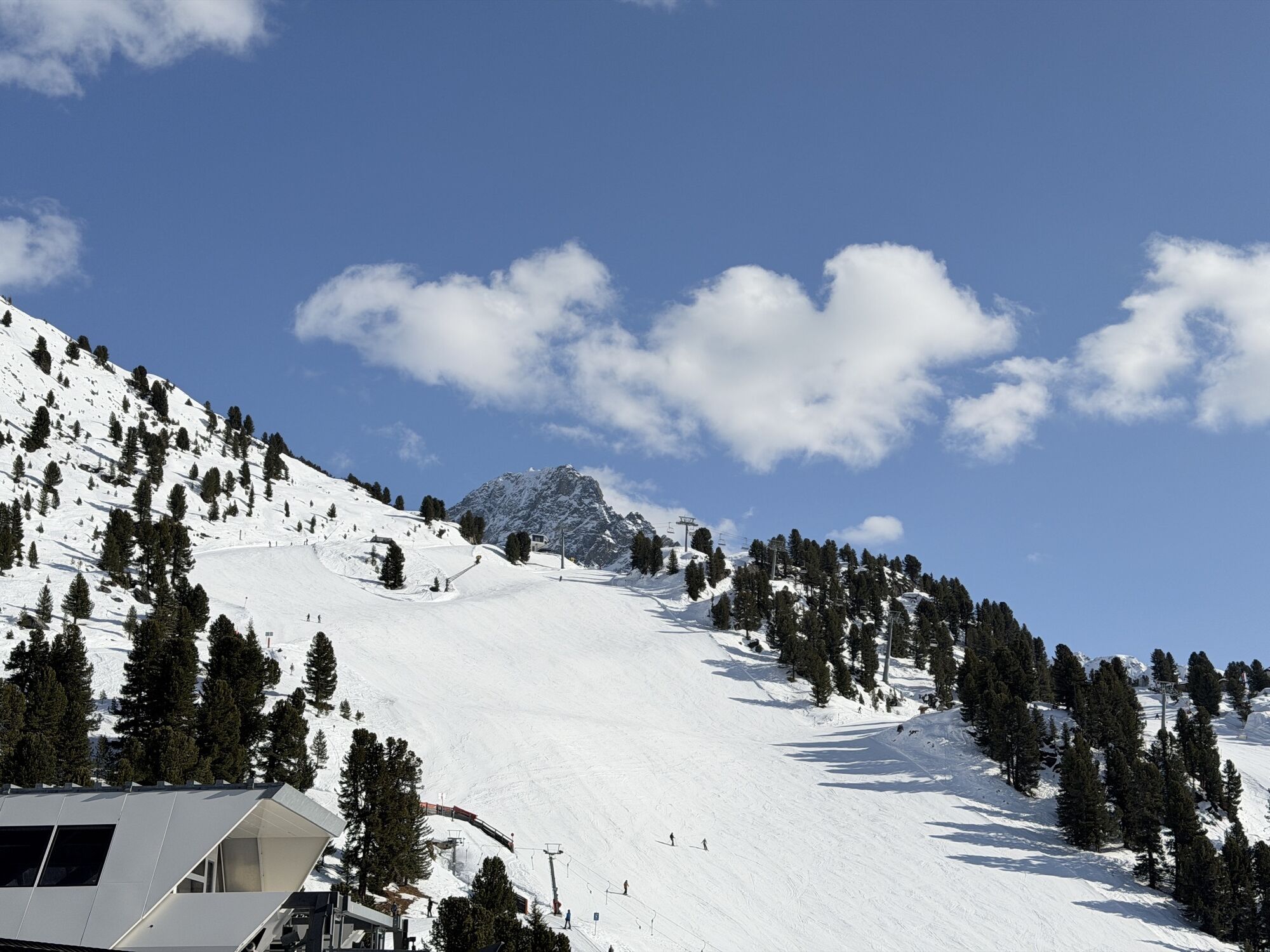
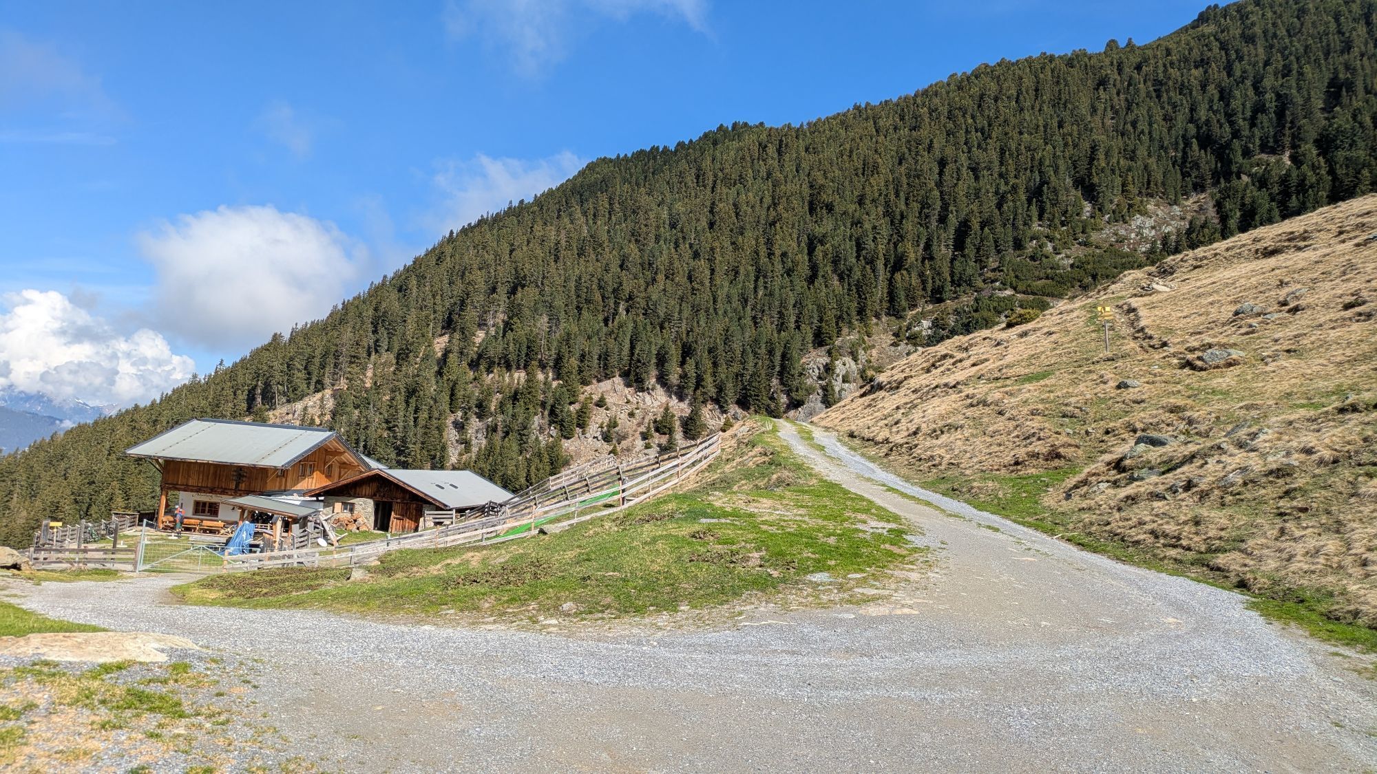
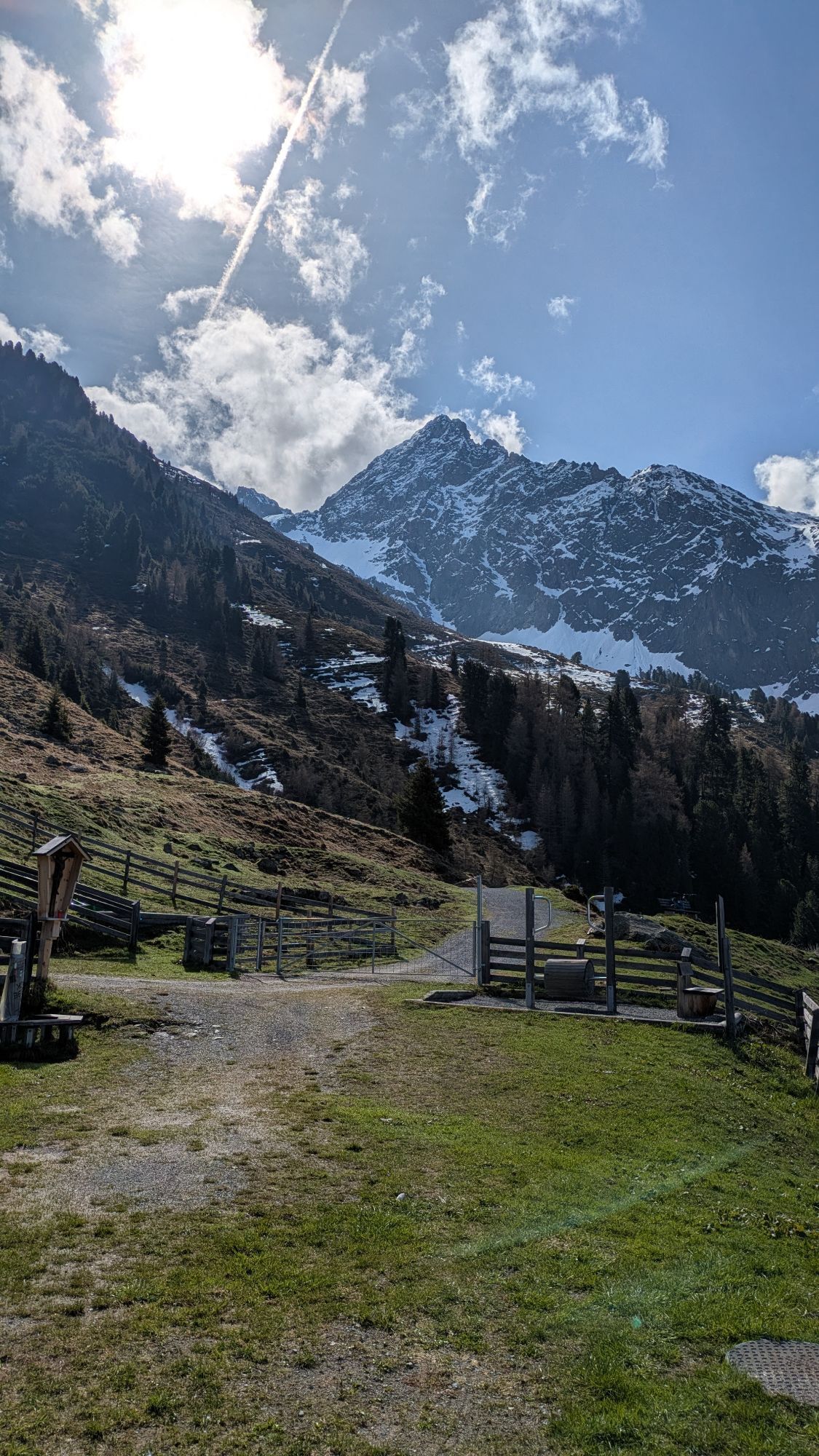
You take the Acherkogelbahn up to Hochoetz. From there, you hike along the wide forest path on the right side down to the Acherberg Alm. The path continuously descends, making it somewhat more difficult...
You take the Acherkogelbahn up to Hochoetz. From there, you hike along the wide forest path on the right side down to the Acherberg Alm. The path continuously descends, making it somewhat more difficult on the way back.
At the Alm, you can enjoy not only the stunning view but also cheese and butter made on site.
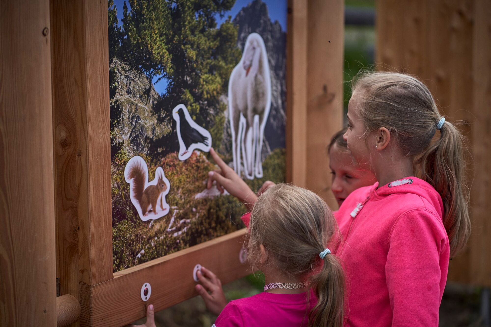
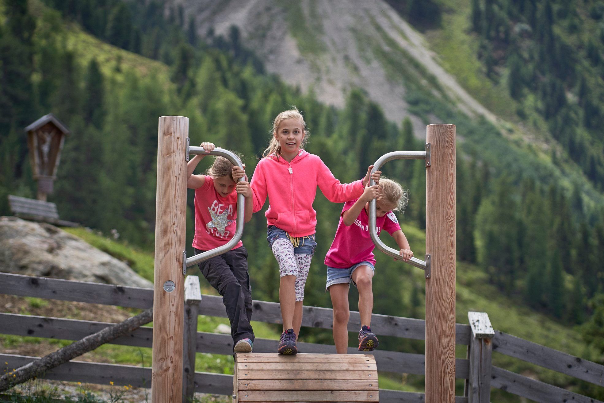
There is plenty of fun for children with the animal sound box and the pedal mill!
With a lot of strength, the path is also possible with a stroller.

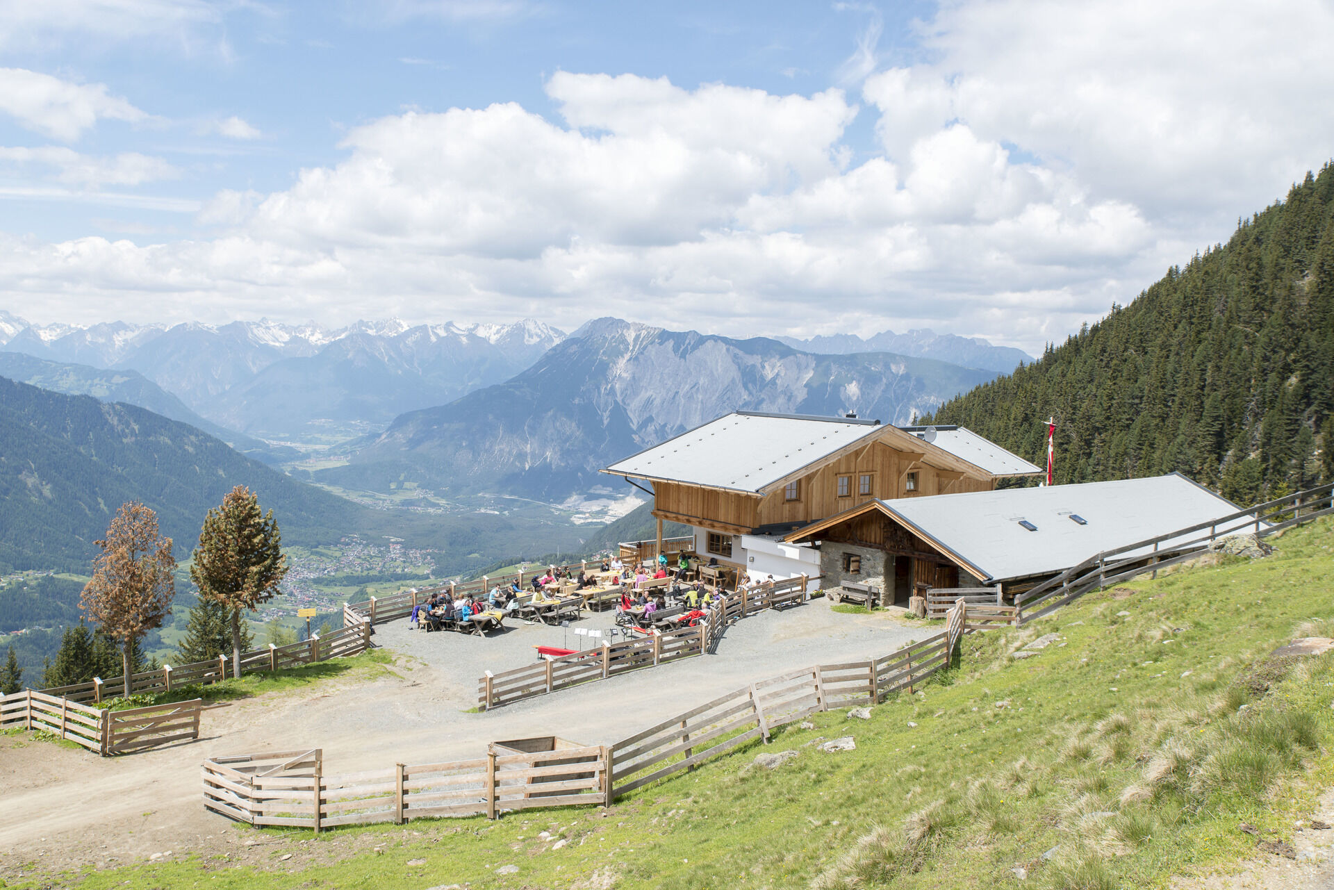
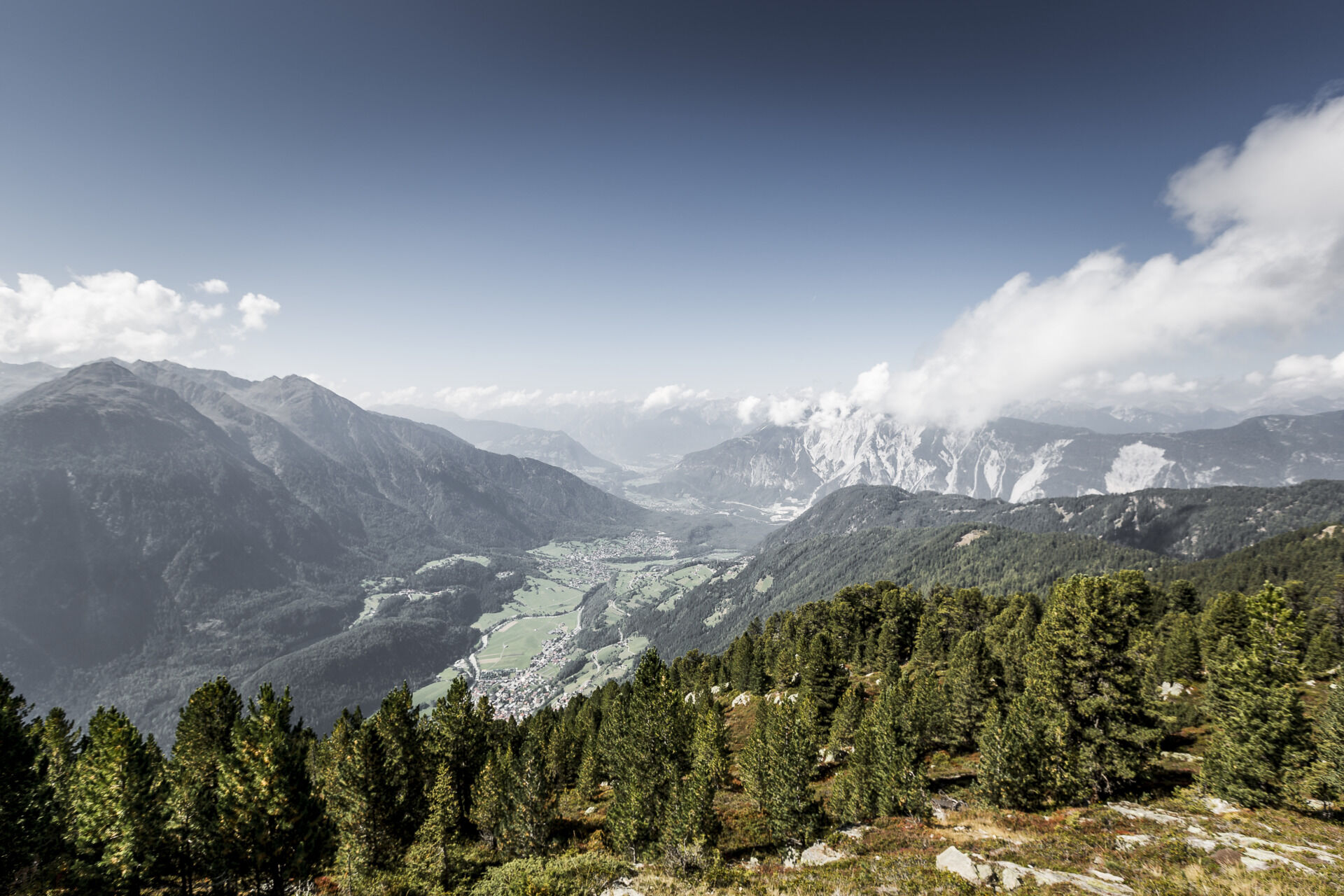
You take the Acherkogelbahn up to Hochoetz. From there, you hike along the wide forest path on the right side down to the Acherberg Alm. At the Alm, you can enjoy not only the stunning view but also cheese and butter made on site.
There is plenty of fun for children with the animal sound box and the pedal mill!
Tak
Appropriate equipment such as breathable and weather-adapted outdoor clothing, ankle-high hiking boots, wind, rain and sun protection, a cap, and optionally gloves, is required for all hikes and tours. Taking a first aid kit, a mobile phone, and possibly a hiking map, as well as enough provisions for hikes without opportunities to eat, is necessary.
Medium-difficulty mountain path; suitable for sure-footed and experienced mountain hikers; good physical condition, mountain experience, and mountain equipment (see under Equipment) are necessary. Please check the current weather report at: www.oetztal.com/de/sommer.html
Oetz is located in the west of Austria in the state of TIROL, in a southern side valley of the Inn valley - the ÖTZTAL. For your arrival by car, plan the optimal route from your home location using the route planner online: https://www.google.at/maps
Travel comfortably and safely by train to the Ötztal train station. The final stop or exit point is the ÖTZTAL station. You can then conveniently and quickly travel by public transport or local taxi companies throughout the valley to your desired destination! The current bus schedule is available at: http://fahrplan.vvt.at
The following parking options are available in Oetz:
Acherkogelbahn parking lot (paid) Rafting entry point parking lot (at the end of Oetz on the right side) (paid) Oetz town center parking lot (paid) Overnight parking during multi-day tours: town center parking lot Oetz. The ticket is available at the Oetz information office.Pedal mill and animal sound box for children
Popularne wycieczki w okolicy
-
4,2
Hike Stuibenfall - Umhausen
światłoWędrówka 2,95 km -
4,4
Stuibenfall Umhausen circular hike
światłoWędrówka 9,32 km -
4,5
Oetz - Piburger See - Oetz
średniWędrówka 7,16 km -
4,6
Umhausen - Stuibenfall - Umhausen
średniWędrówka 7,94 km -
4,6
Summit route Faltegartenköpfl
średniWędrówka 4,04 km -
4,7
Circular hike Bergmahderweg - Niederthai
światłoWędrówka 7,60 km -
4,8
lake Piburger See
światłoWędrówka 2,75 km -
5,0
Larstigalm - Niederthai
światłoWędrówka 3,24 km -
4,0
Arzkasten - Lehnberghaus
światłoWędrówka 3,08 km -
4,6
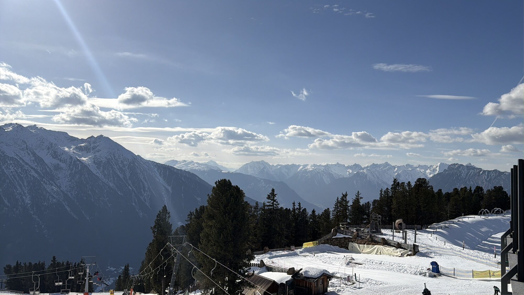
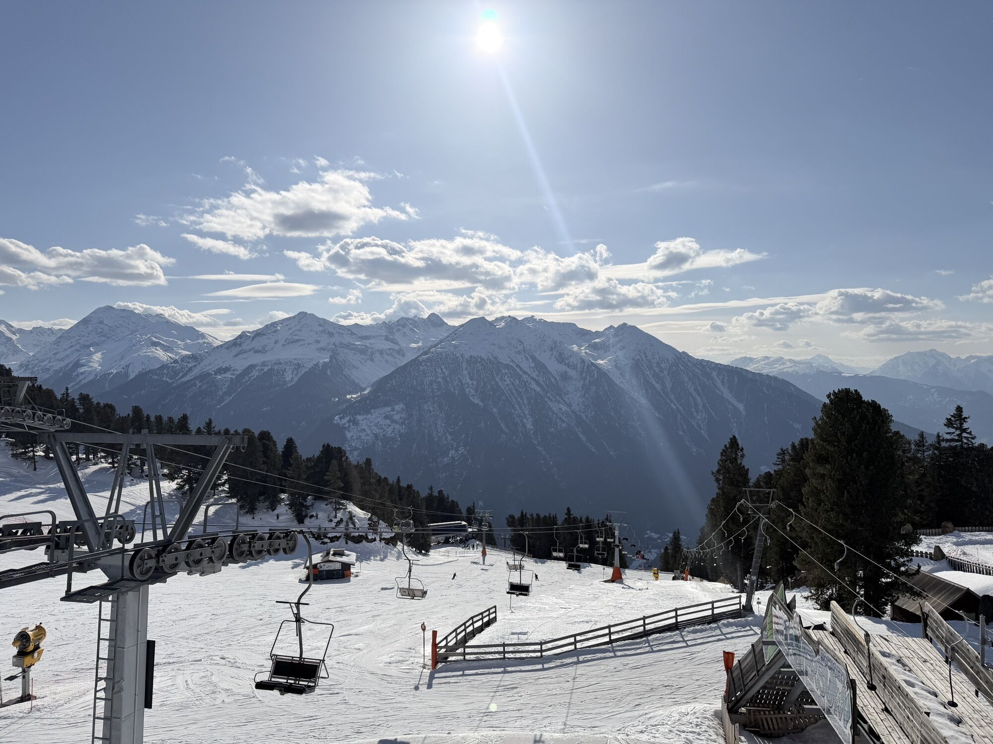
Summit route Weather Cross from Hochoetz
średniWędrówka 3,06 km

Wędrówki i tropienie


Nie przegap ofert i inspiracji na następne wakacje
Twój adres e-mail została dodana do listy mailingowej.