






Alpine terrain and suspension bridges: Samnaun – Val Sinestra
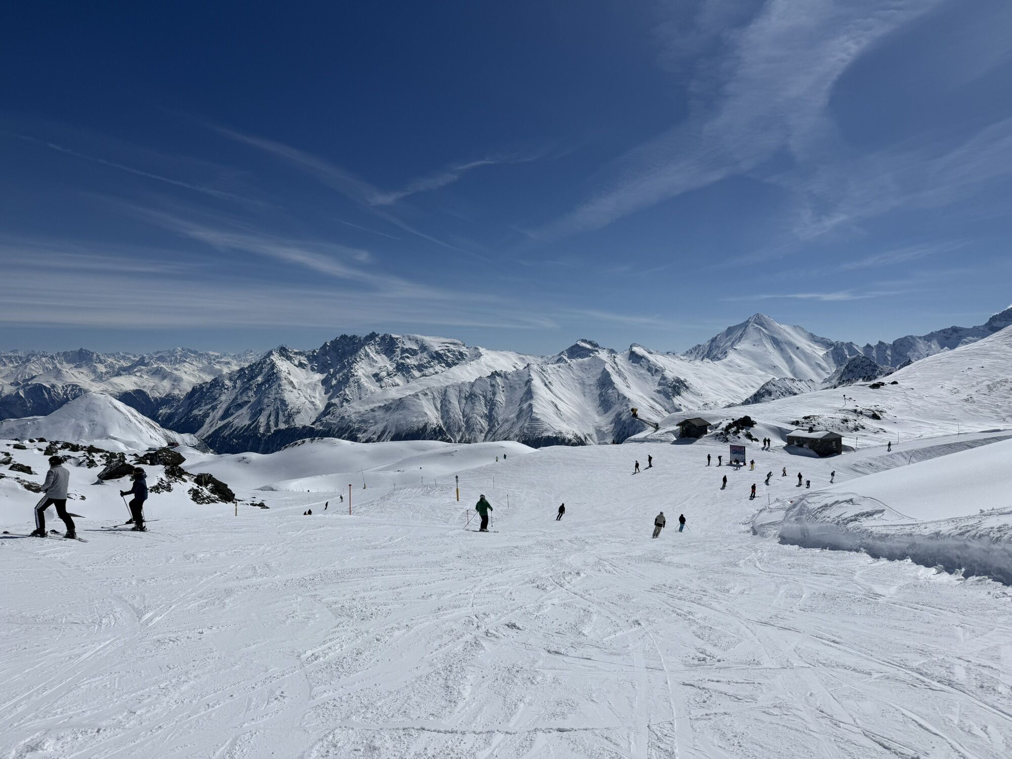
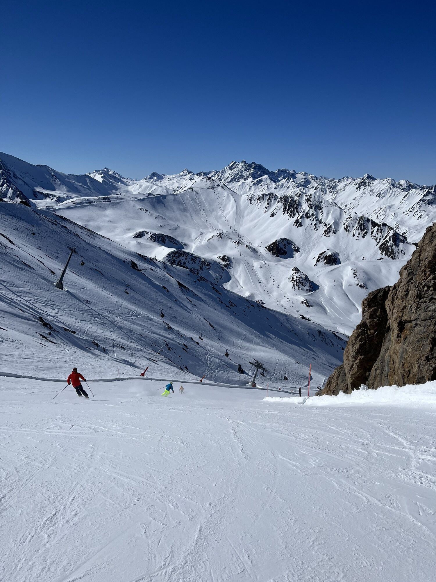

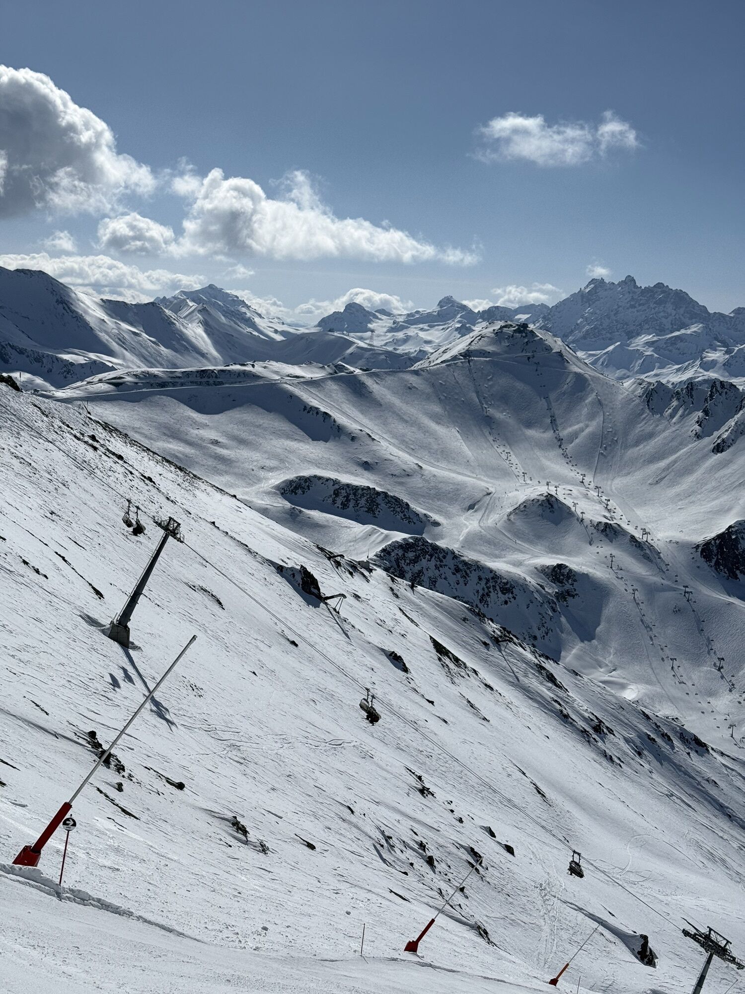
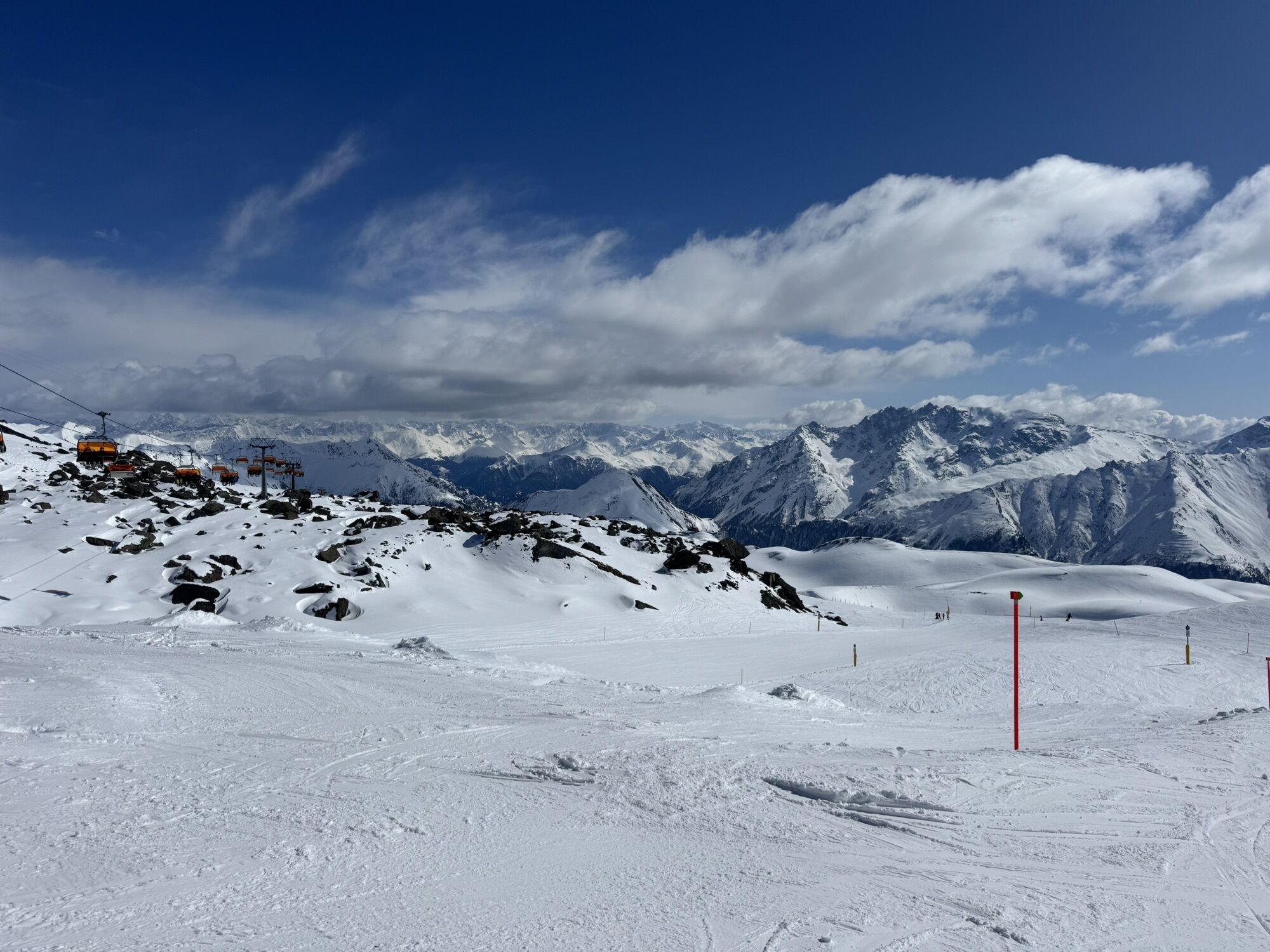
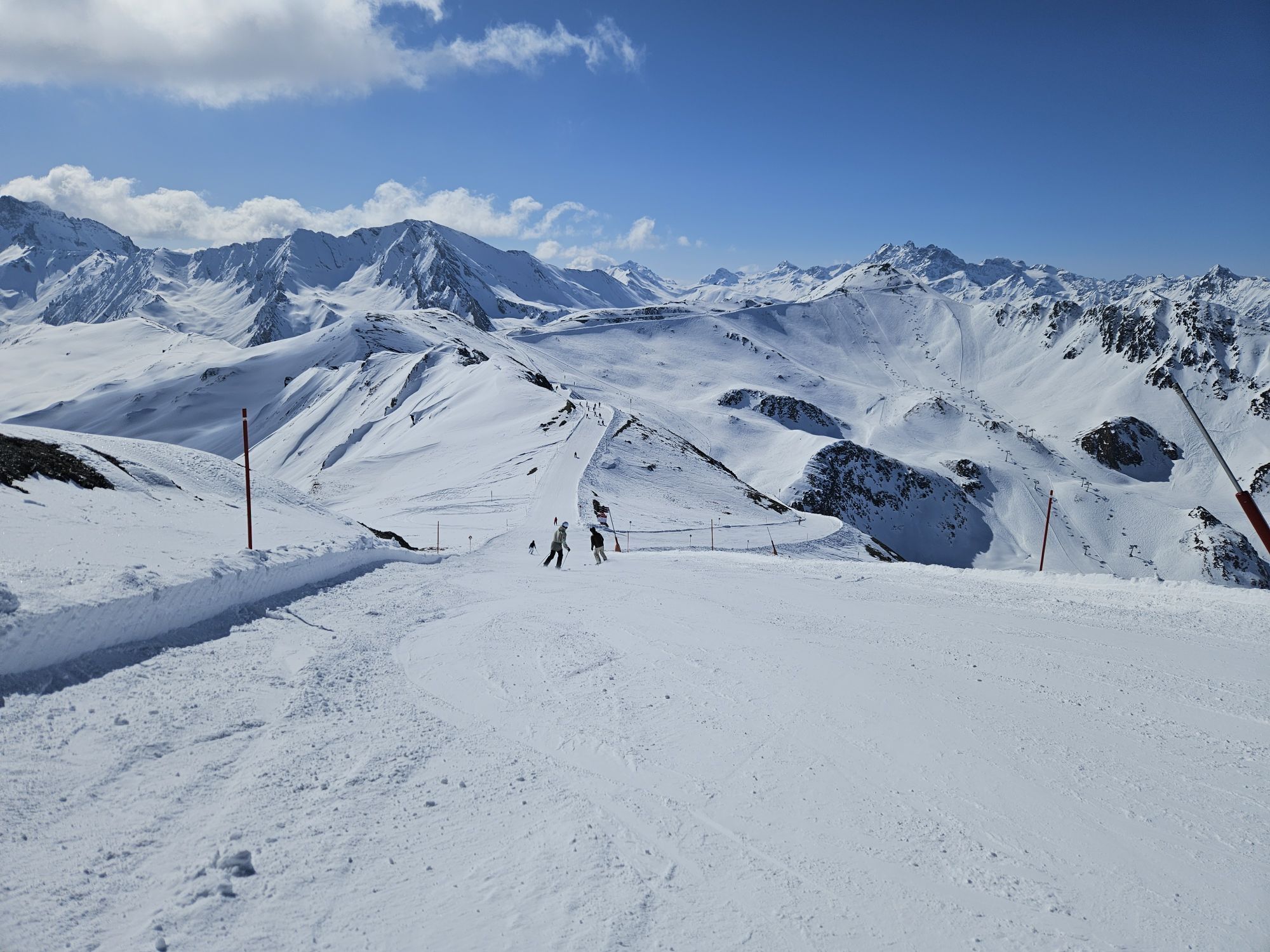
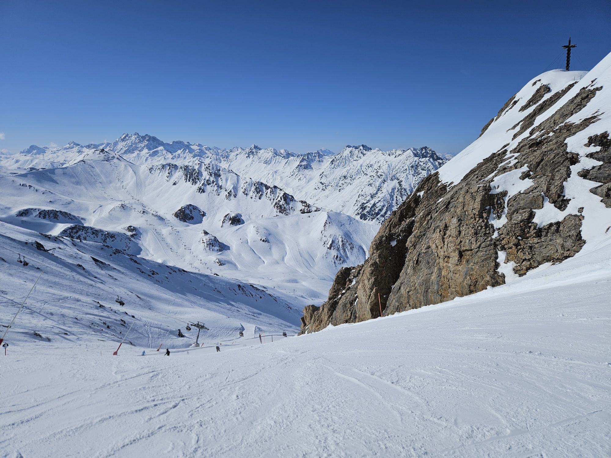
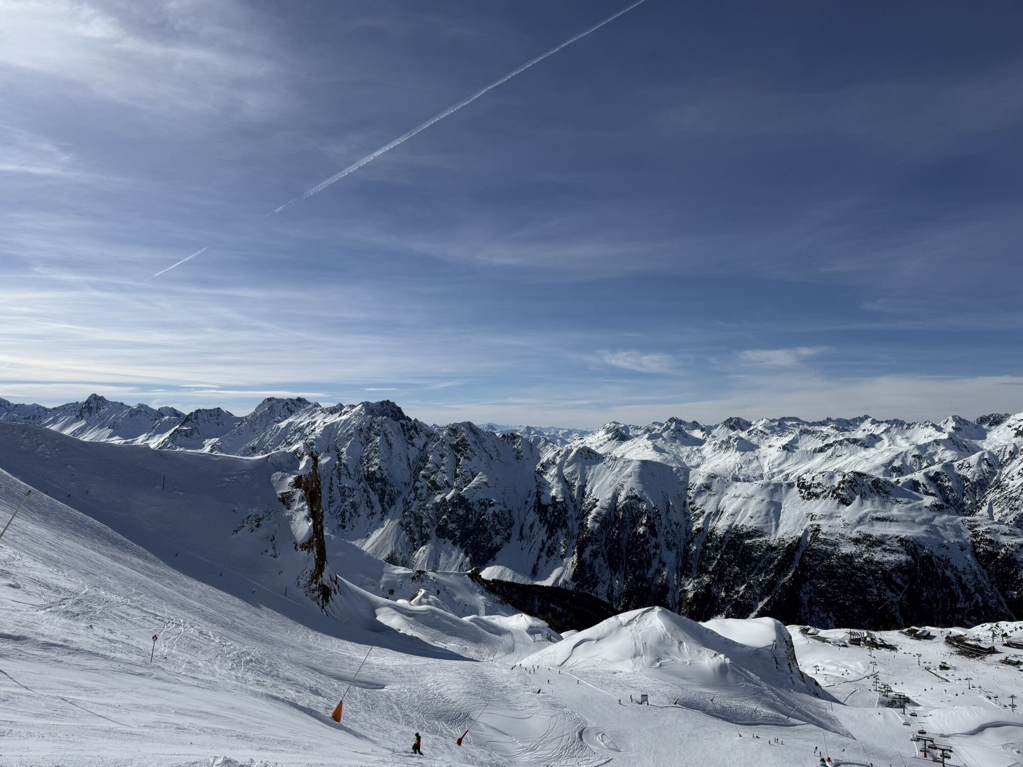
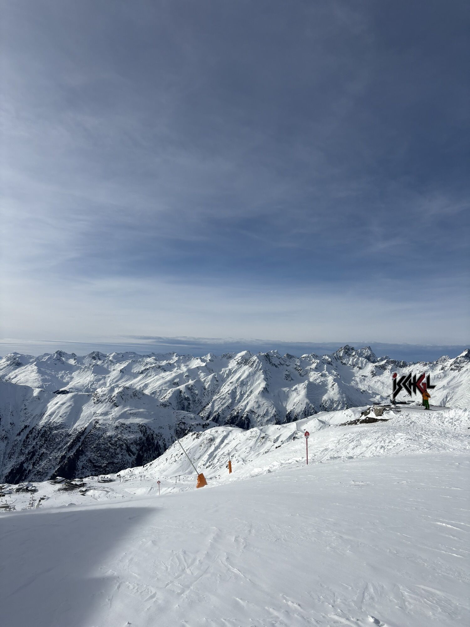
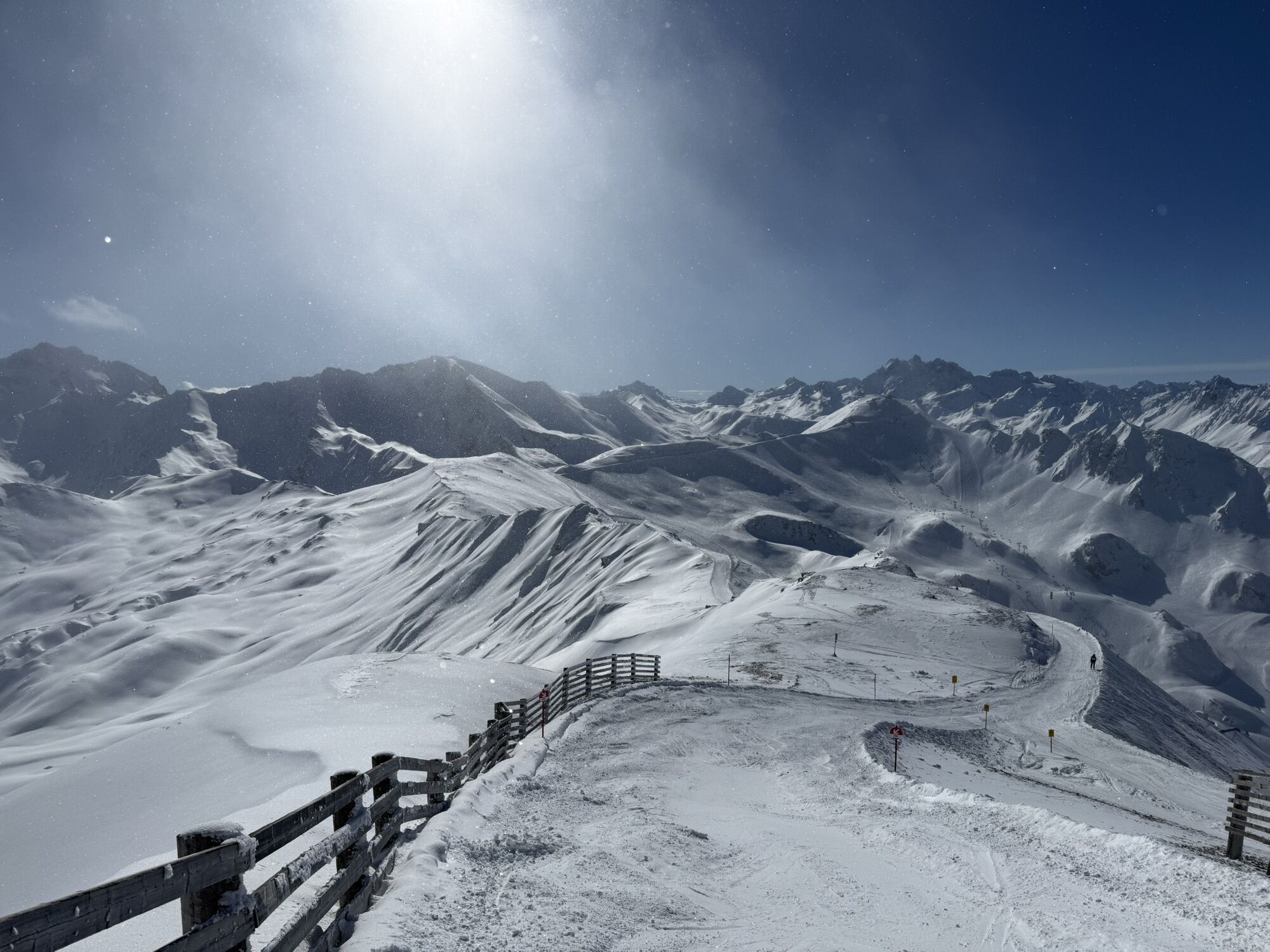
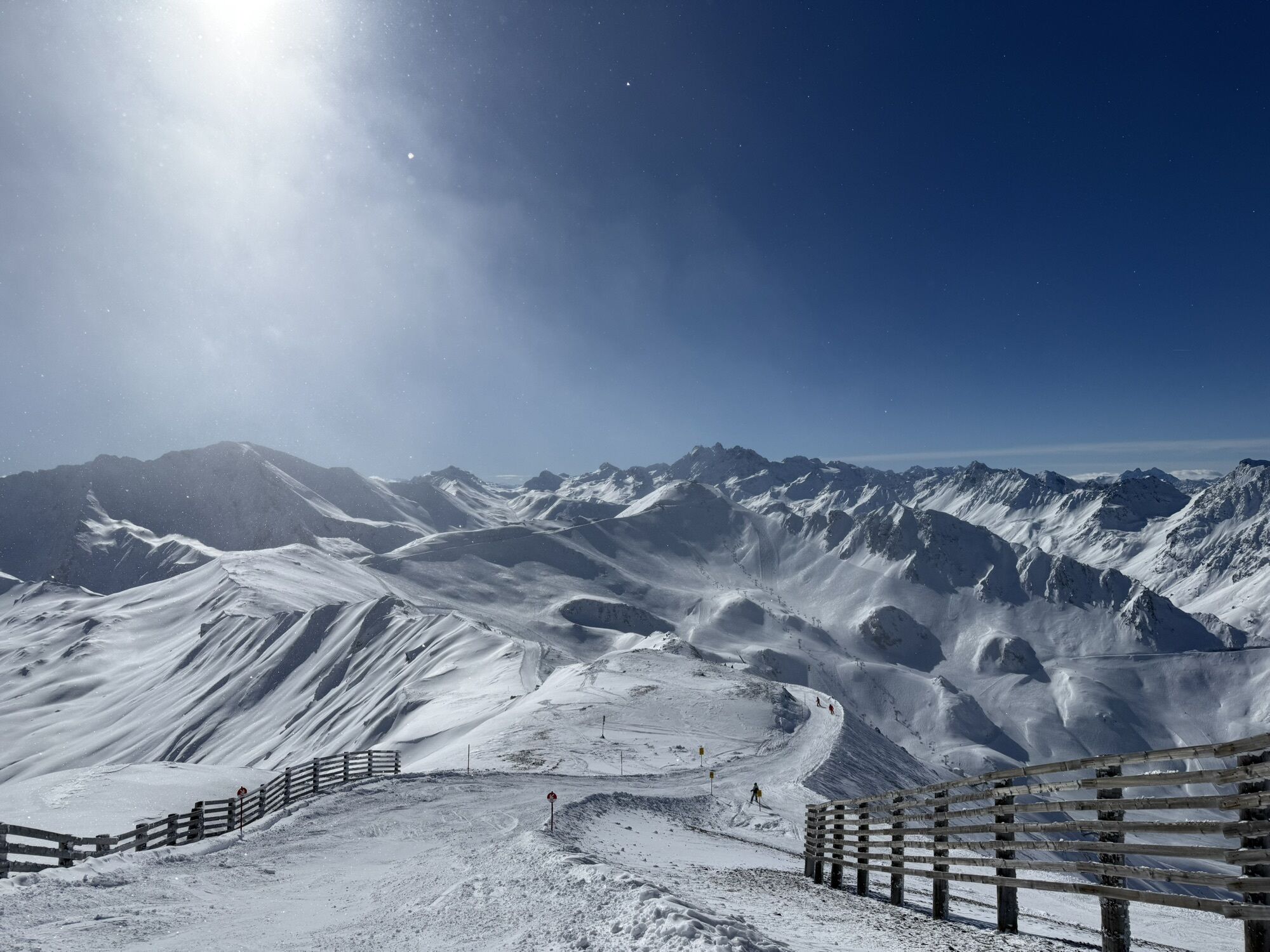
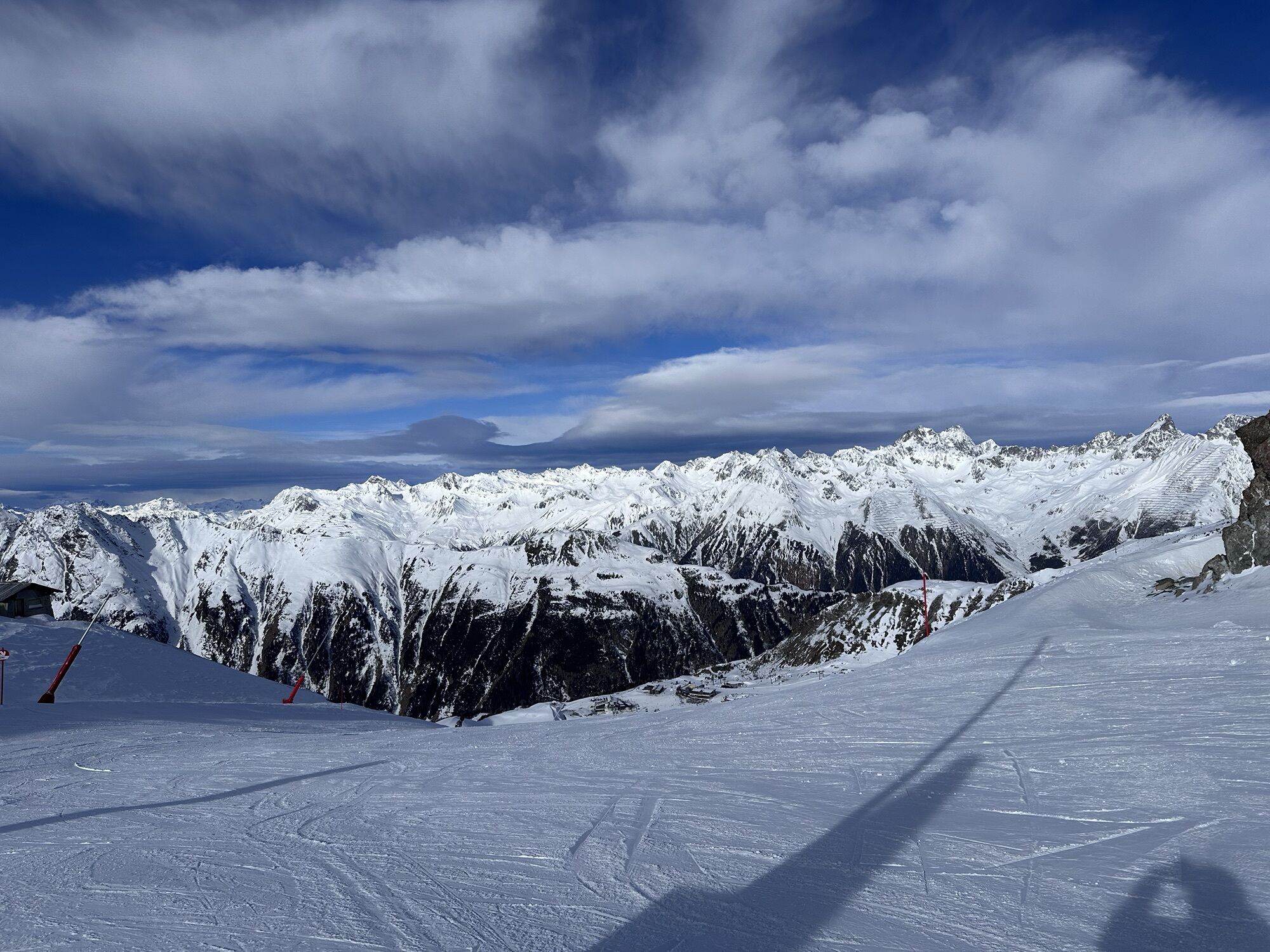
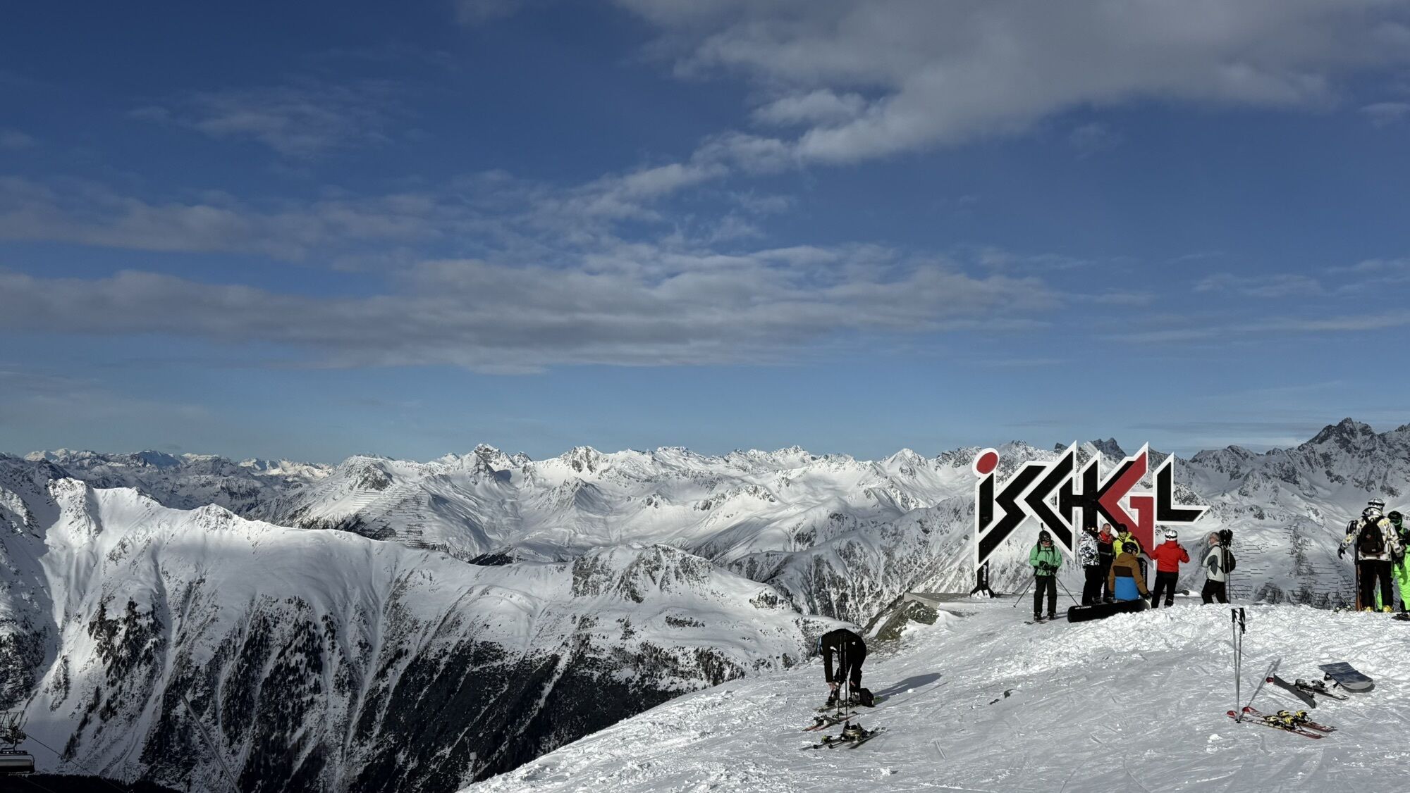
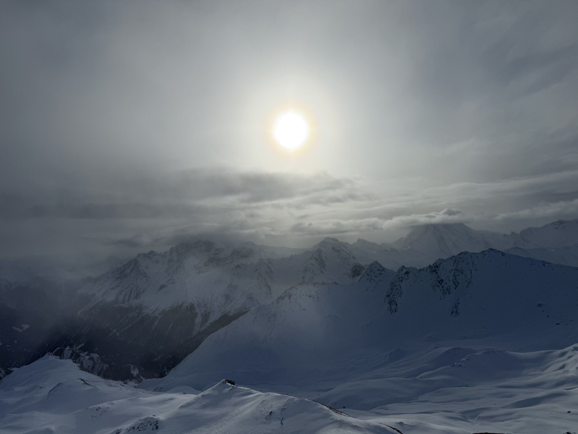
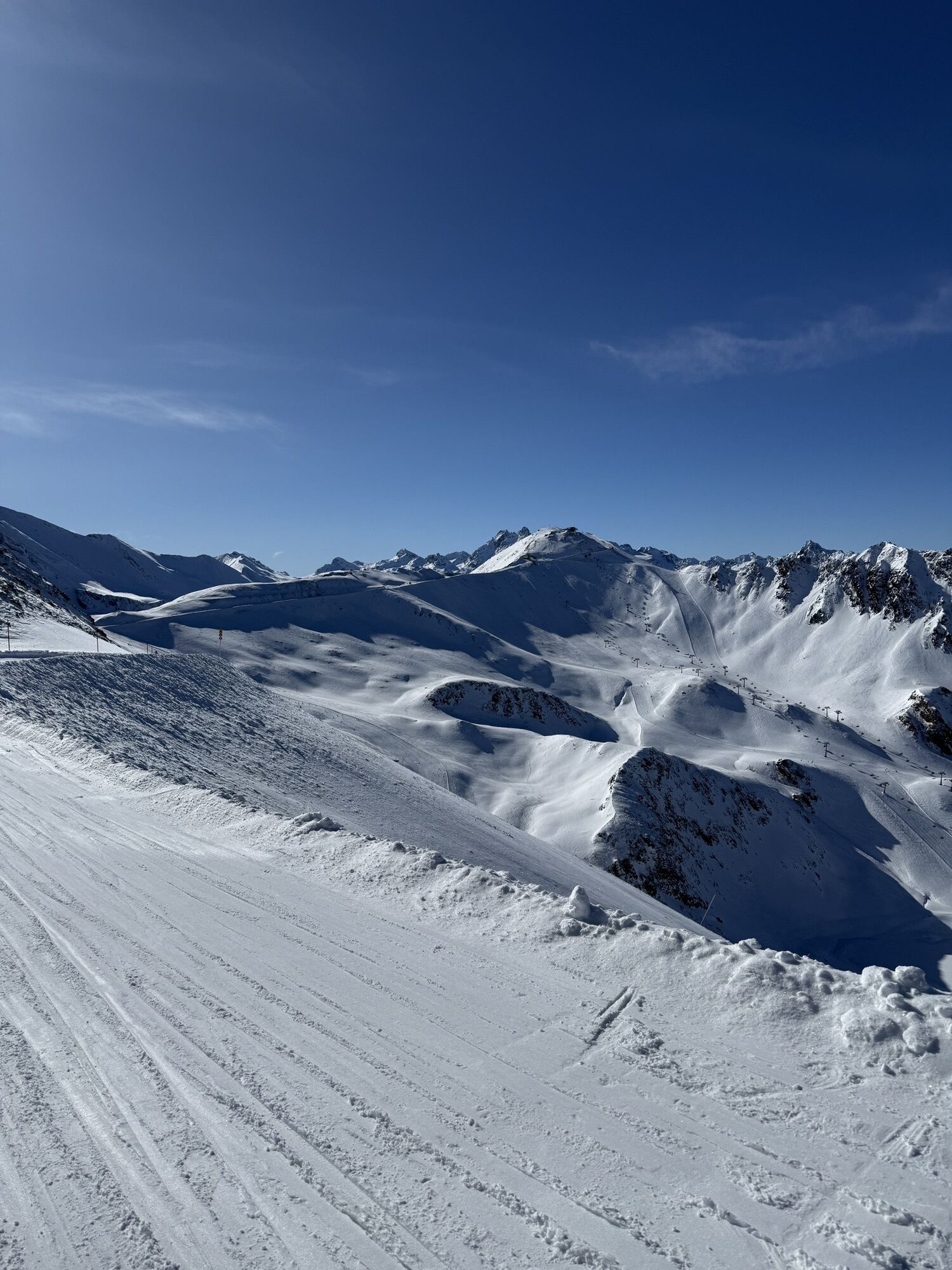
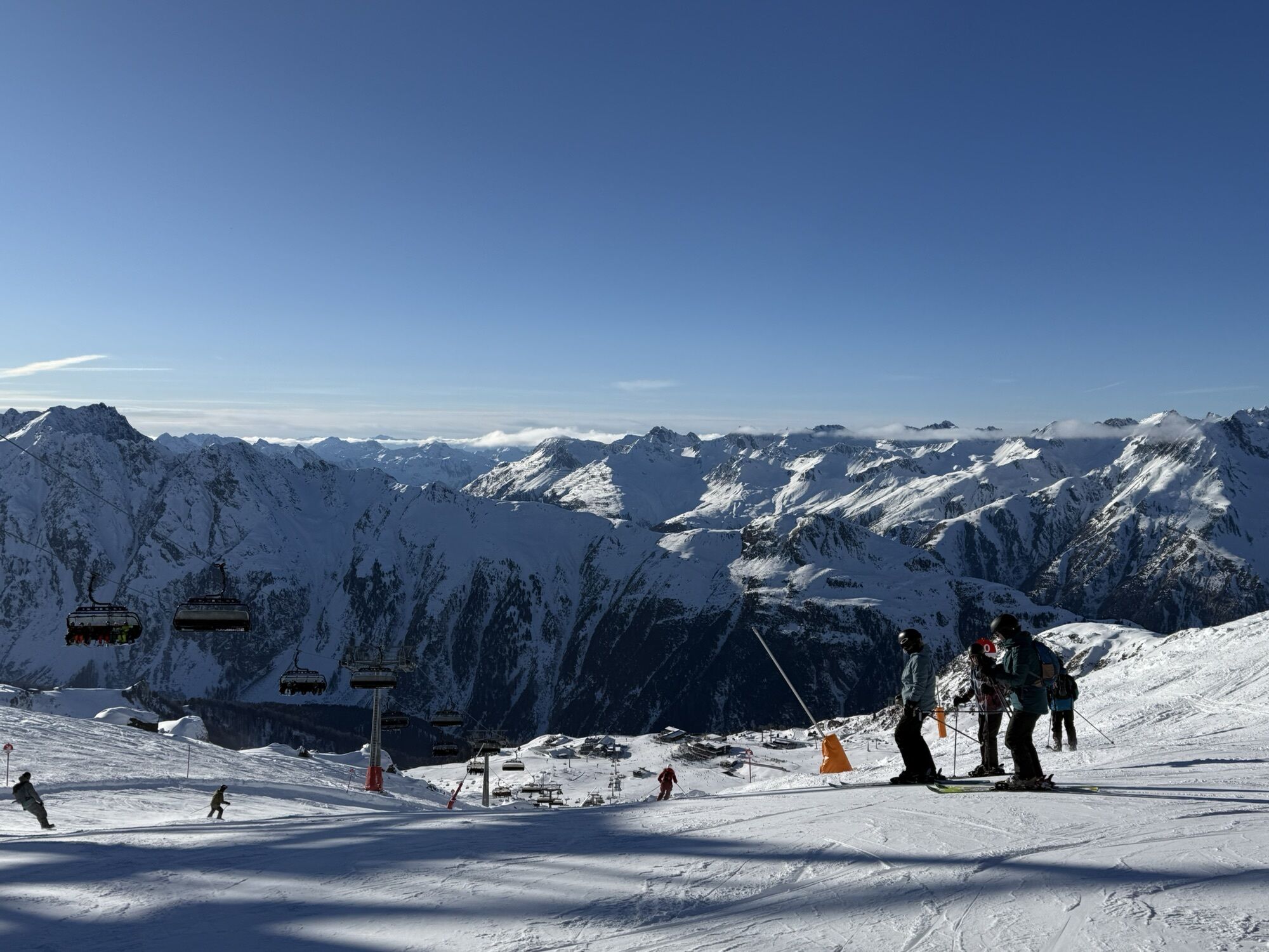
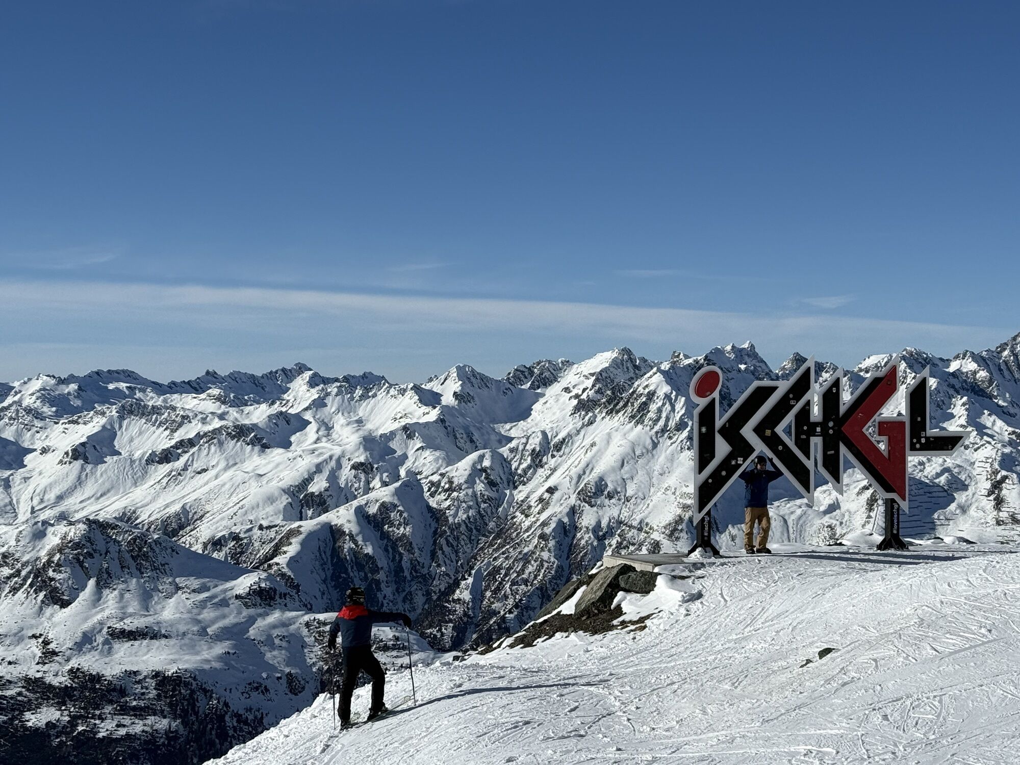
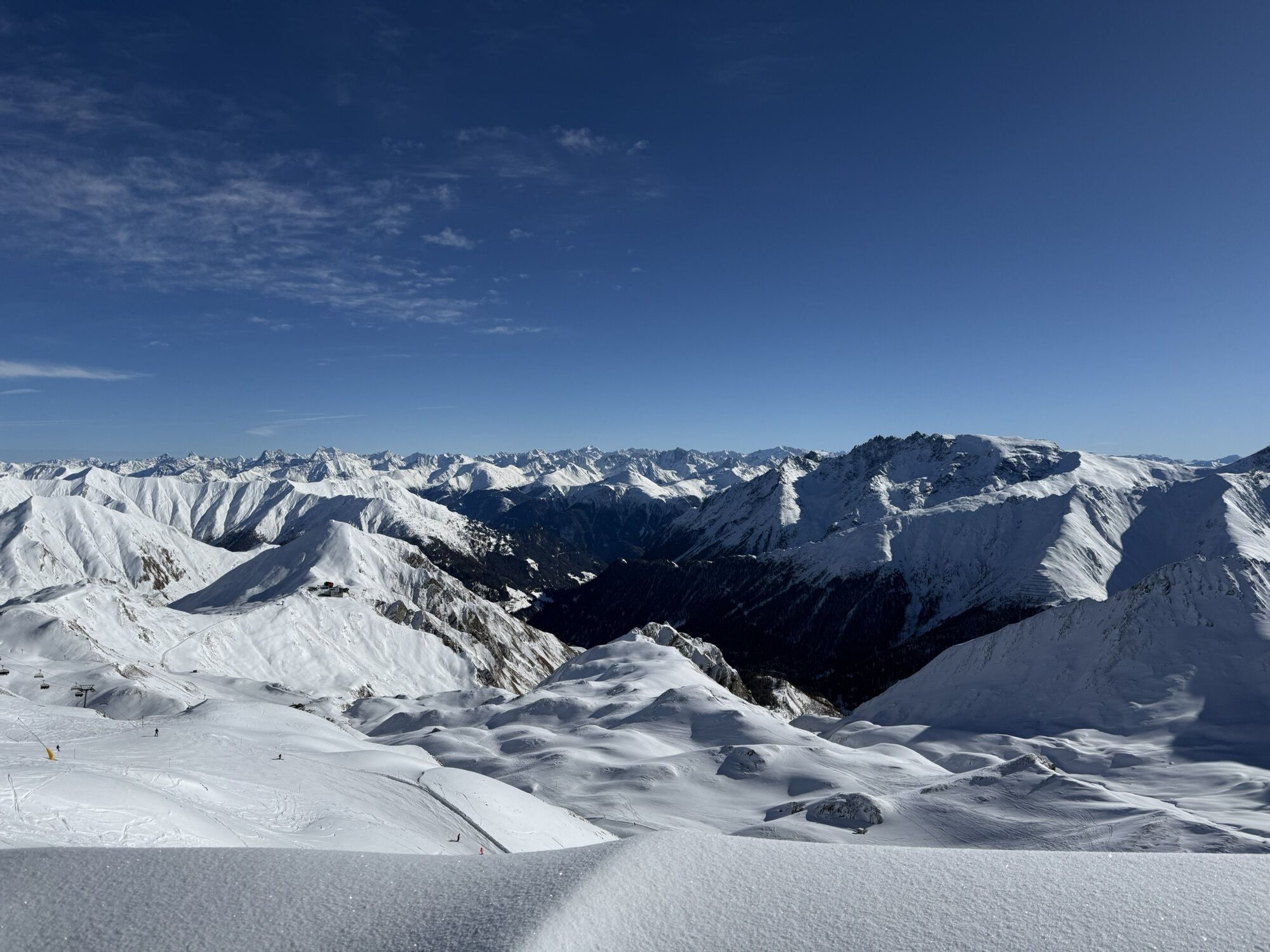
Directly into the alpine mountain experience. With the cable cars, you go from the high-altitude Samnaun (1,846 m above sea level) into the Silvretta mountain world. The crossing into the Lower Engadine...
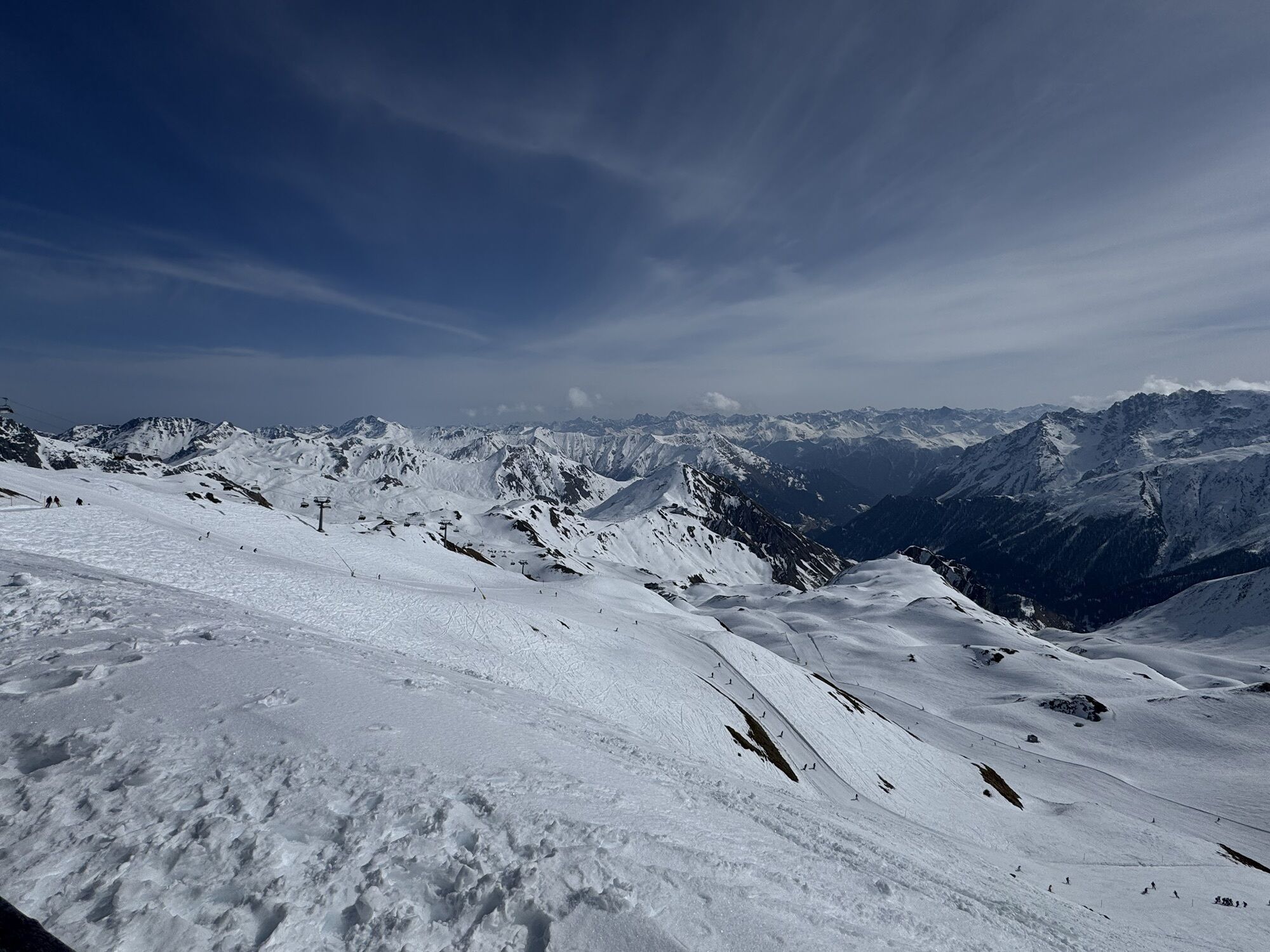
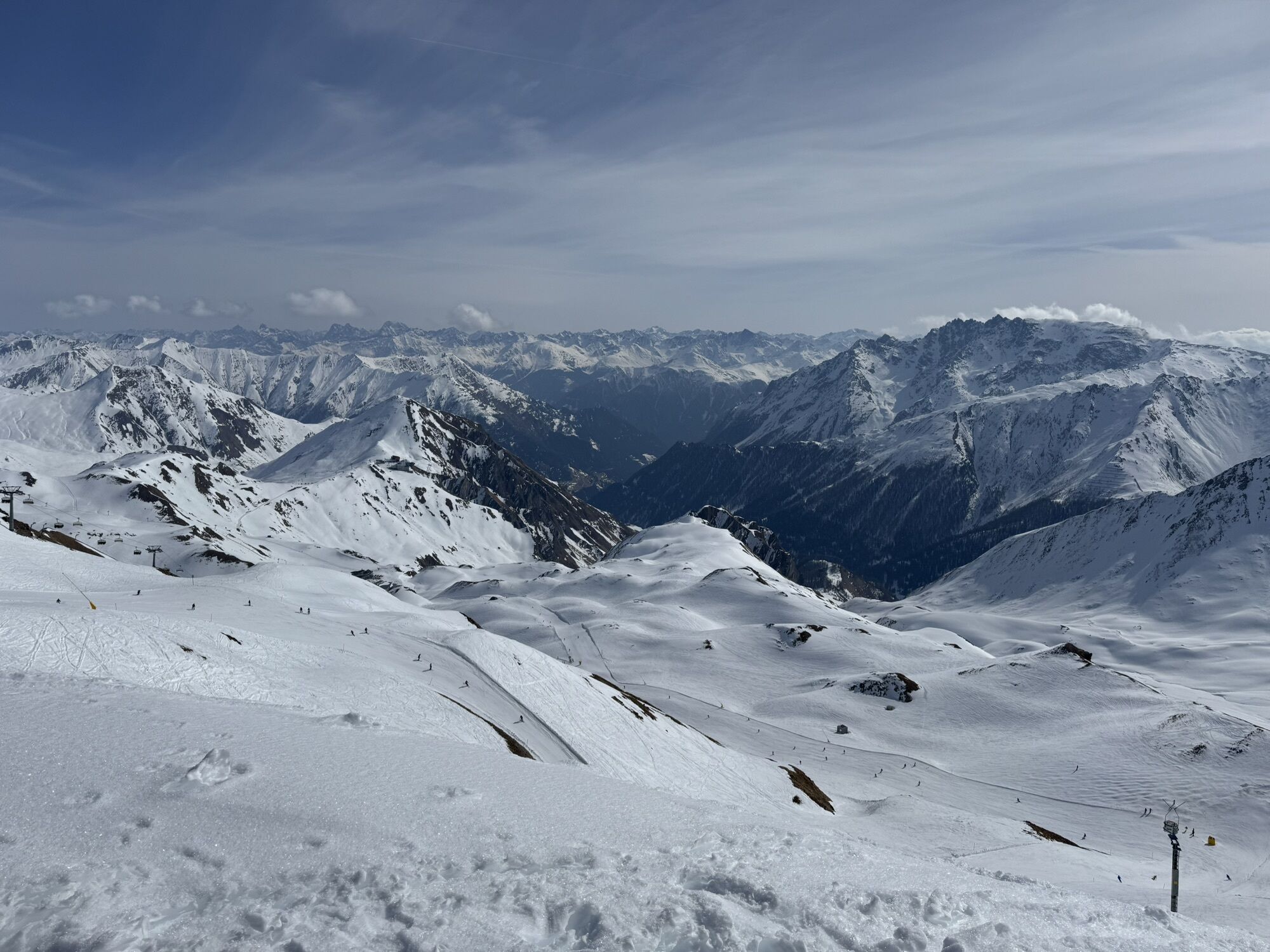
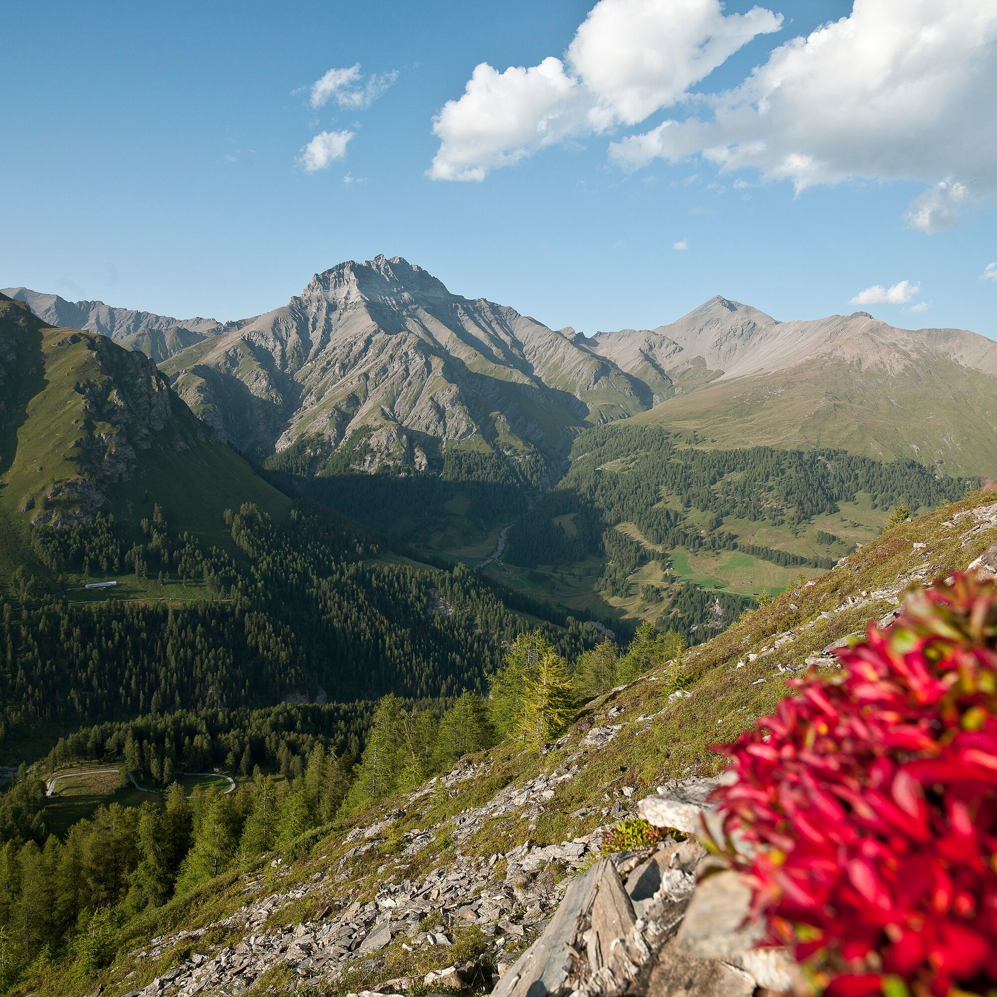
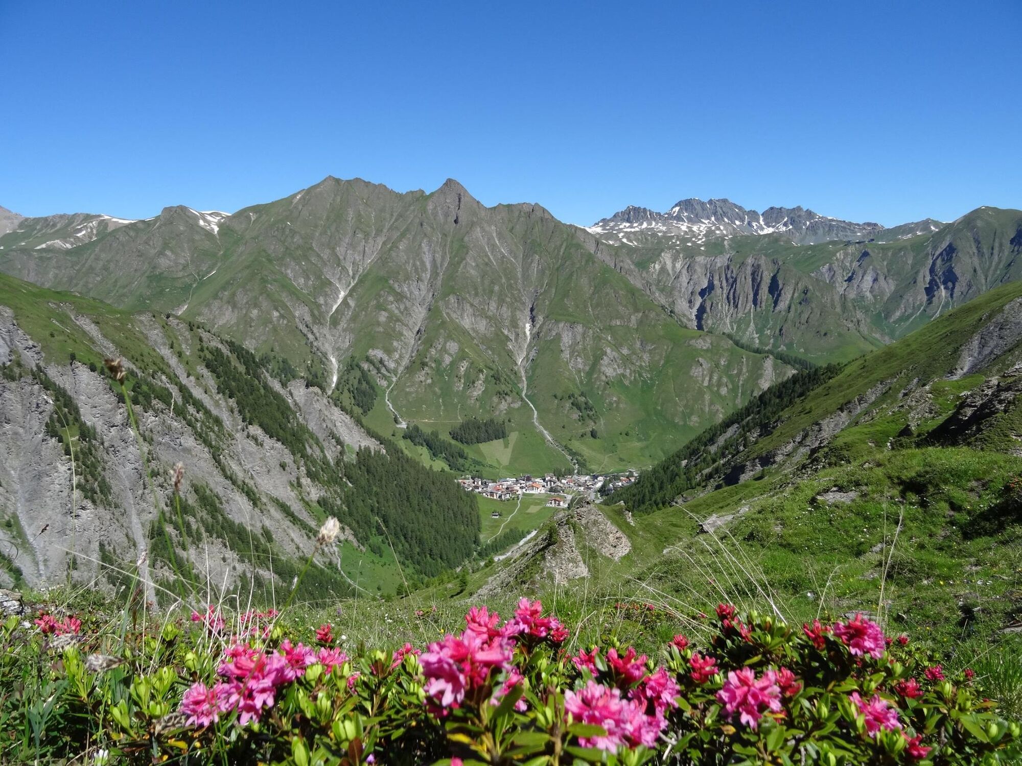
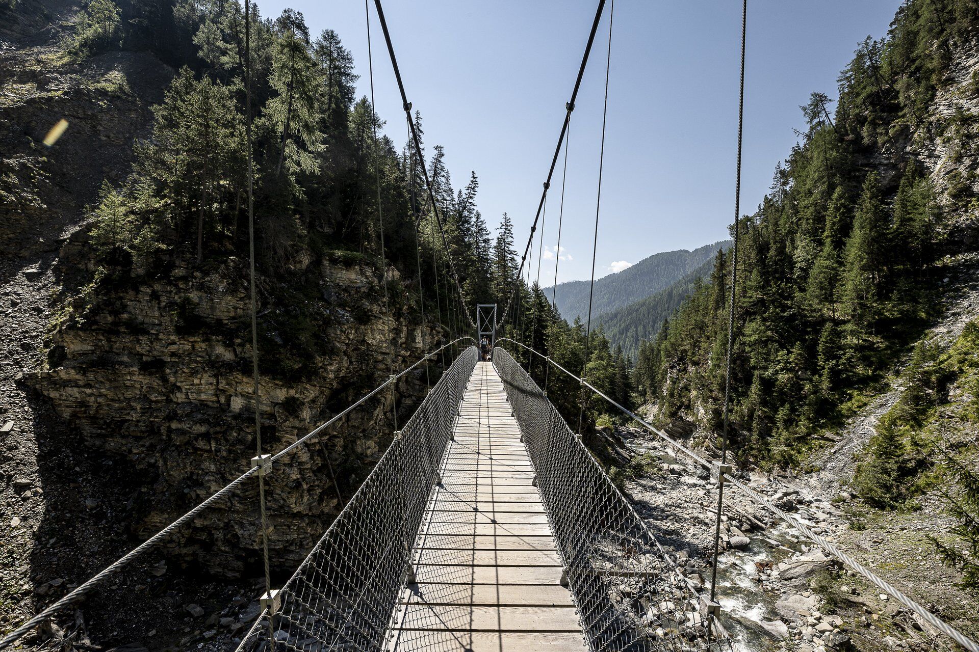
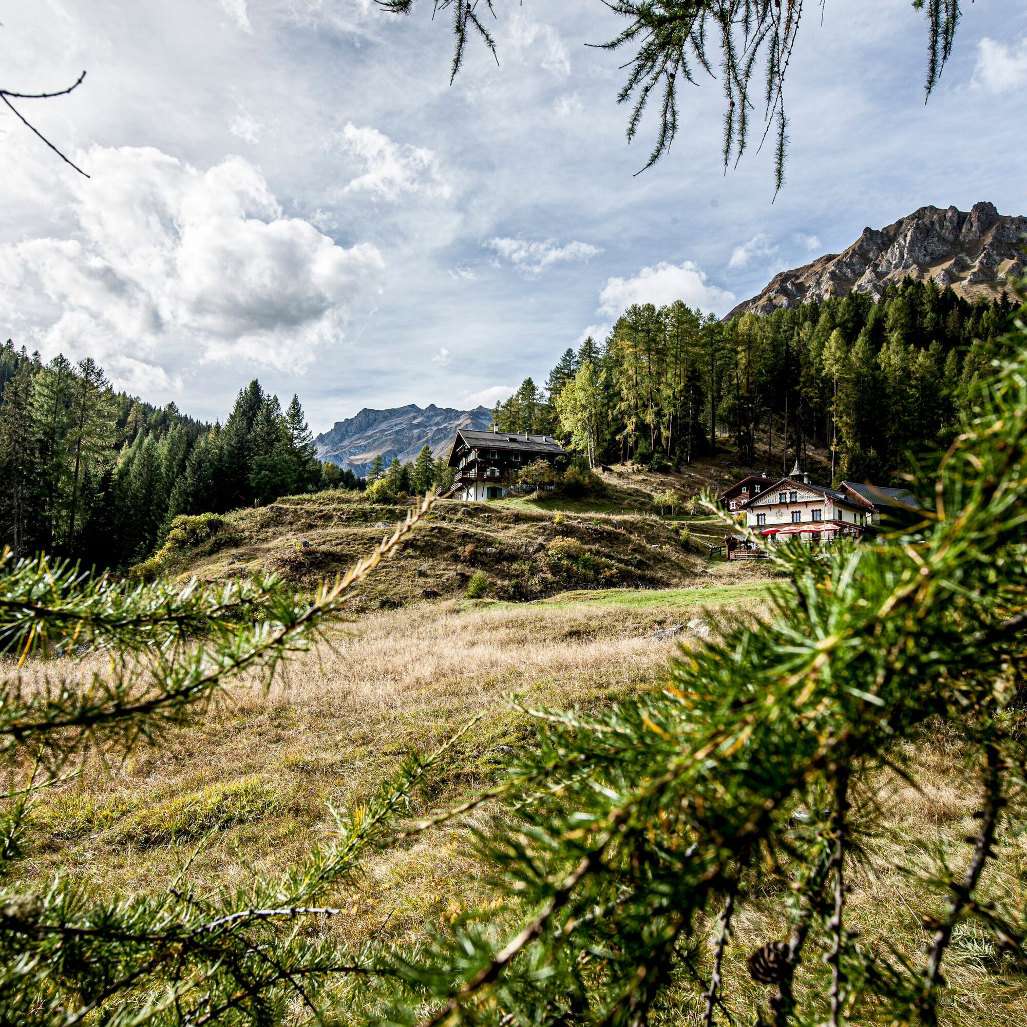
Directly into the alpine mountain experience. With the cable cars, you go from the high-altitude Samnaun (1,846 m above sea level) into the Silvretta mountain world. The crossing into the Lower Engadine is demanding and challenging but offers a magnificent mountain feeling from the start. Val Sinestra, formerly “Landscape of the Year,” is secluded and offers intact nature to enjoy. Several suspension bridges provide a varied running experience. The historic Val Sinestra Kurhaus is an architectural highlight and invites for a small refreshment before continuing by post bus or on foot to Sent or Scuol.


Viderjoch - Zeblasjoch - Fuorcla Val Gronda - Fimberpass - Griosch - Zuort - suspension bridges - Val Sinestra
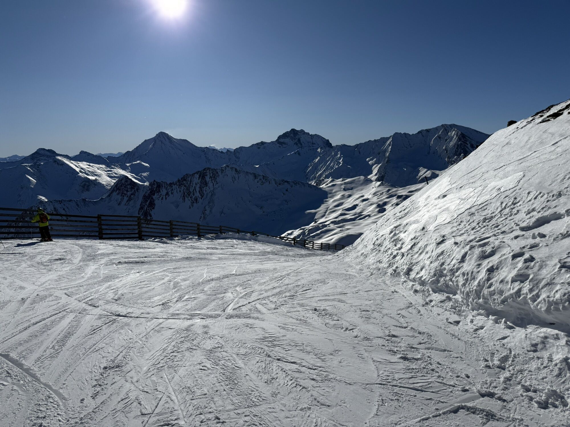
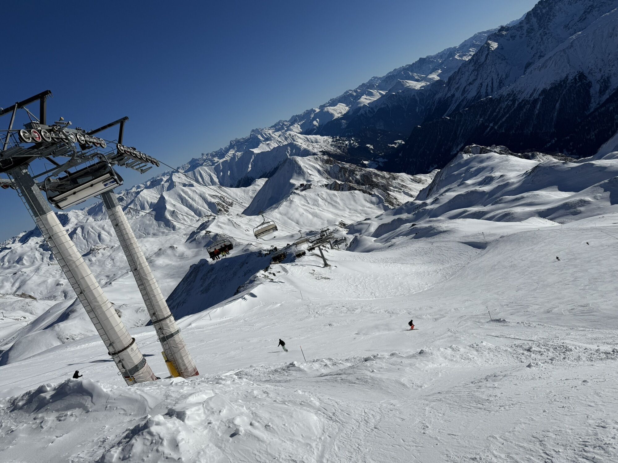
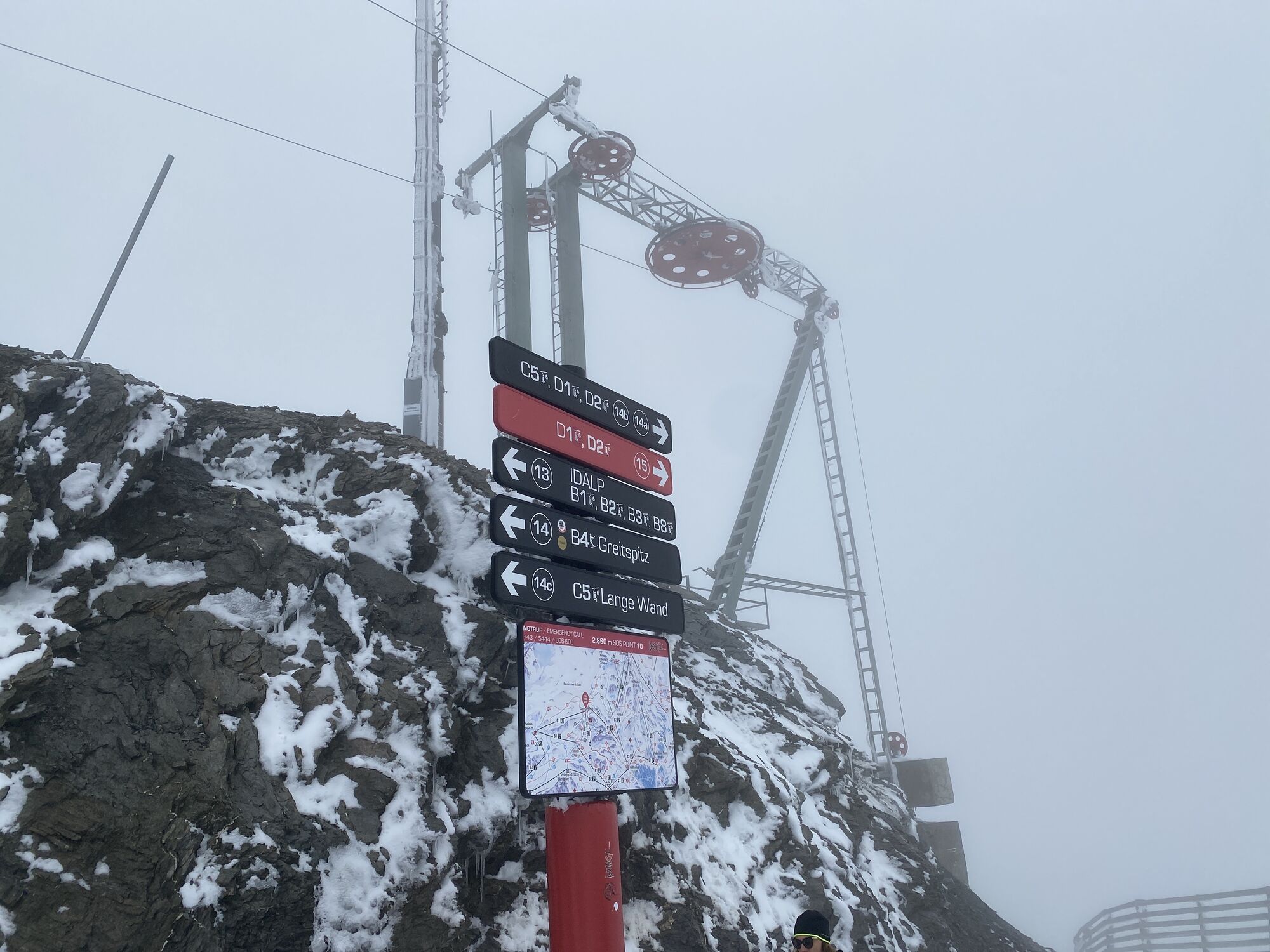
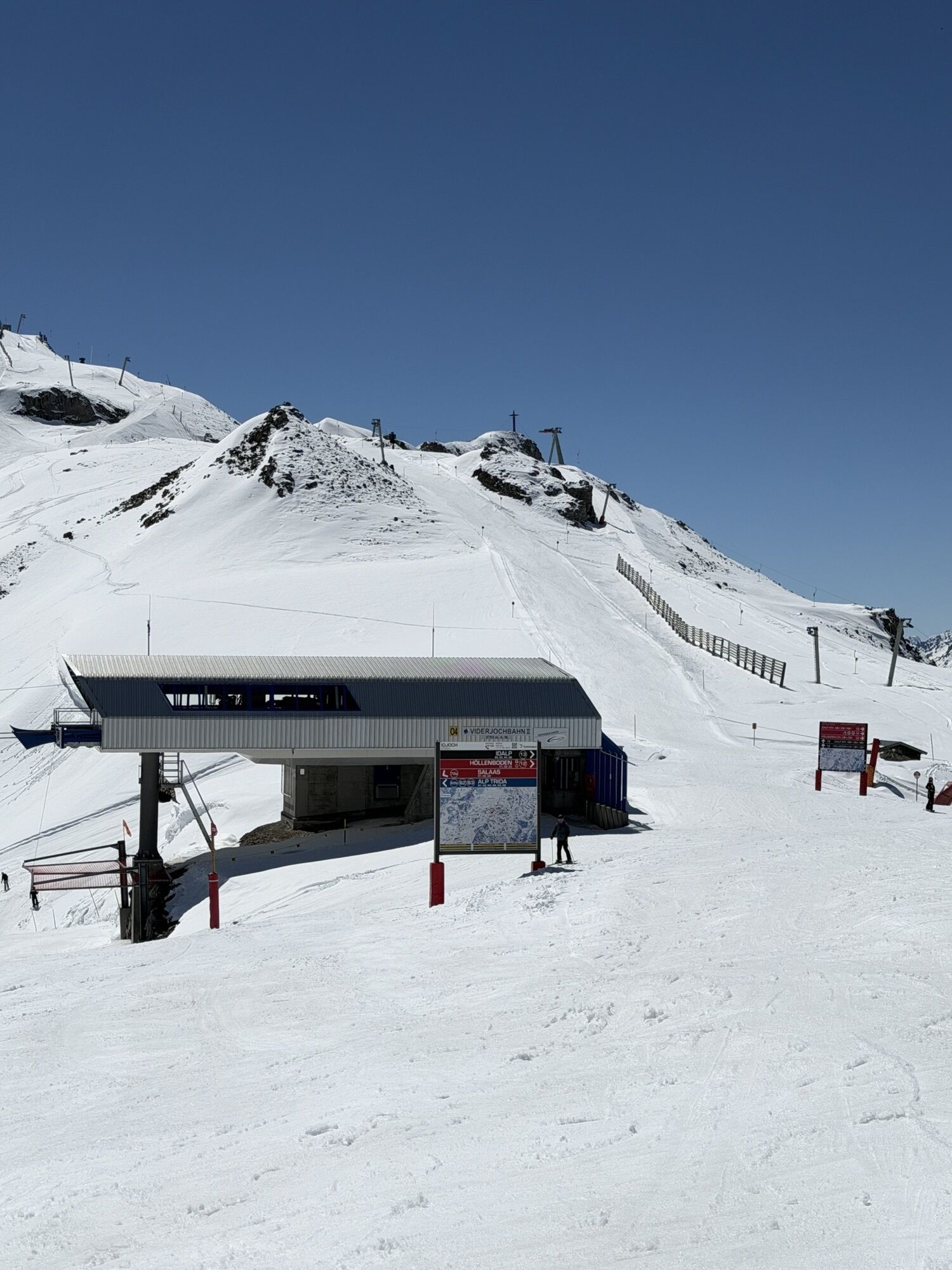
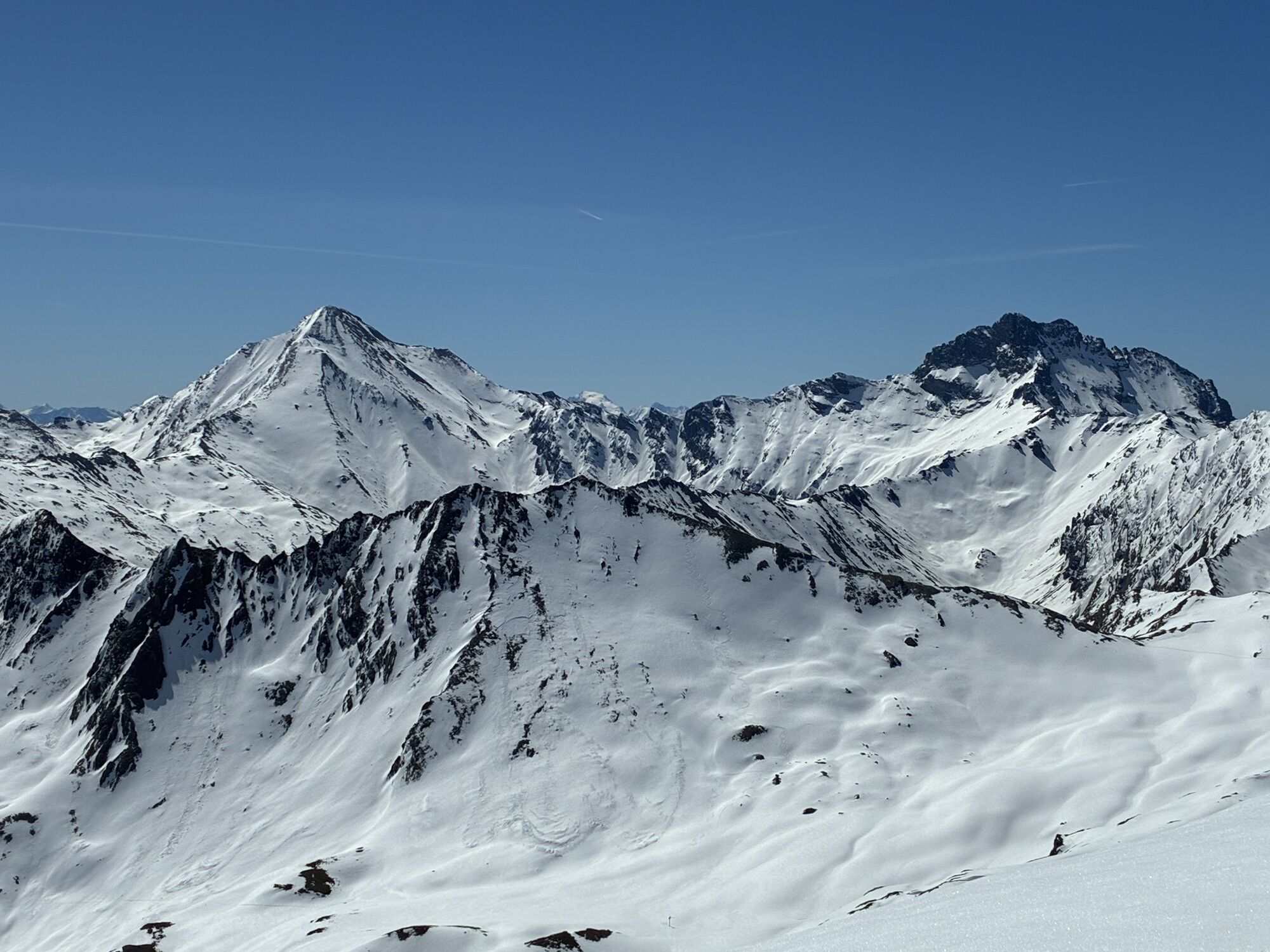
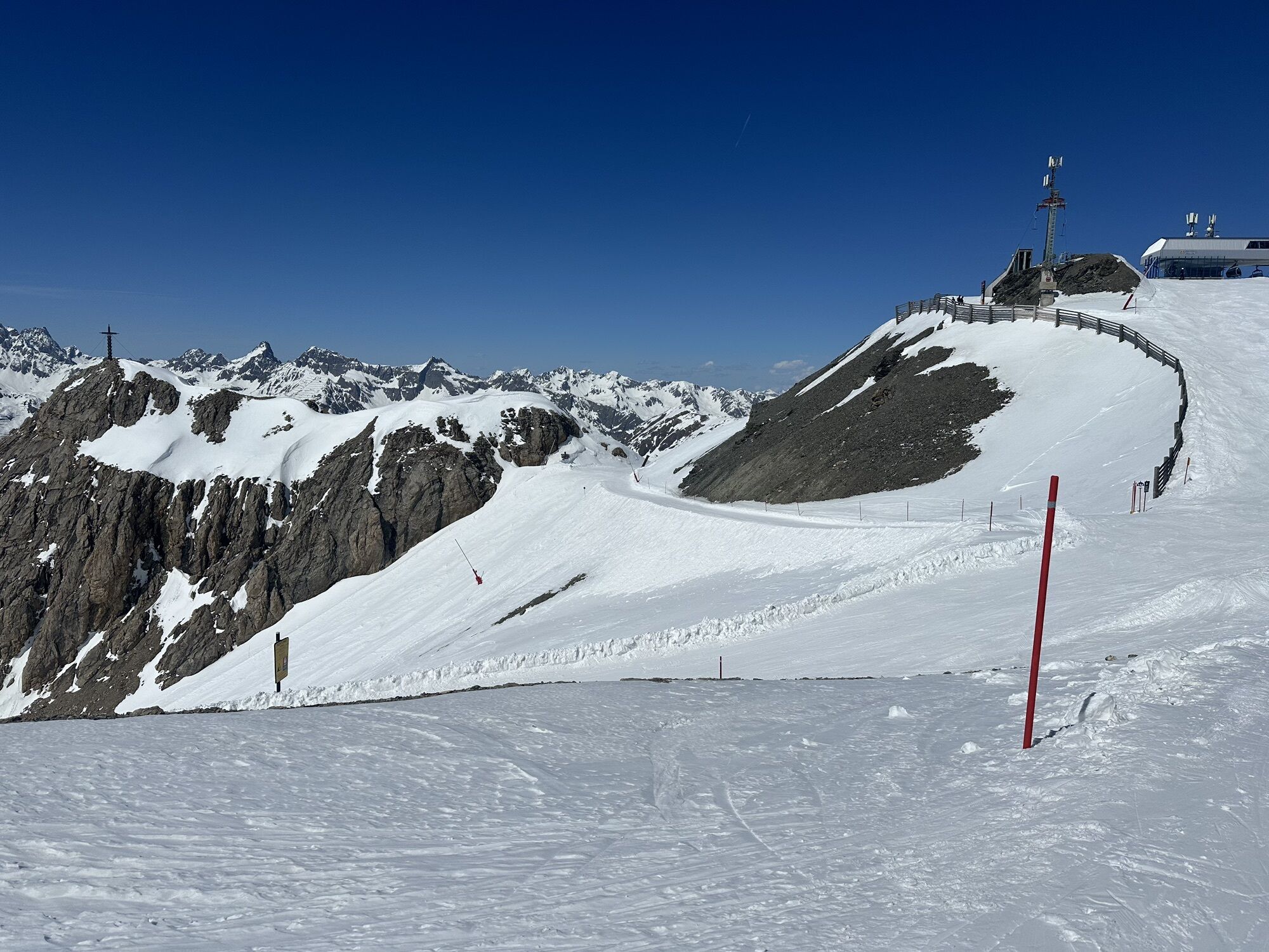
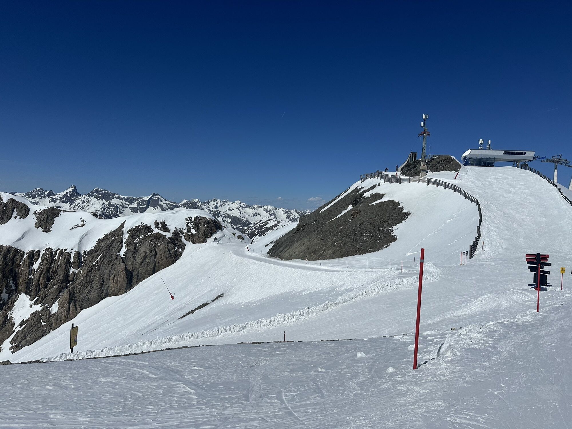
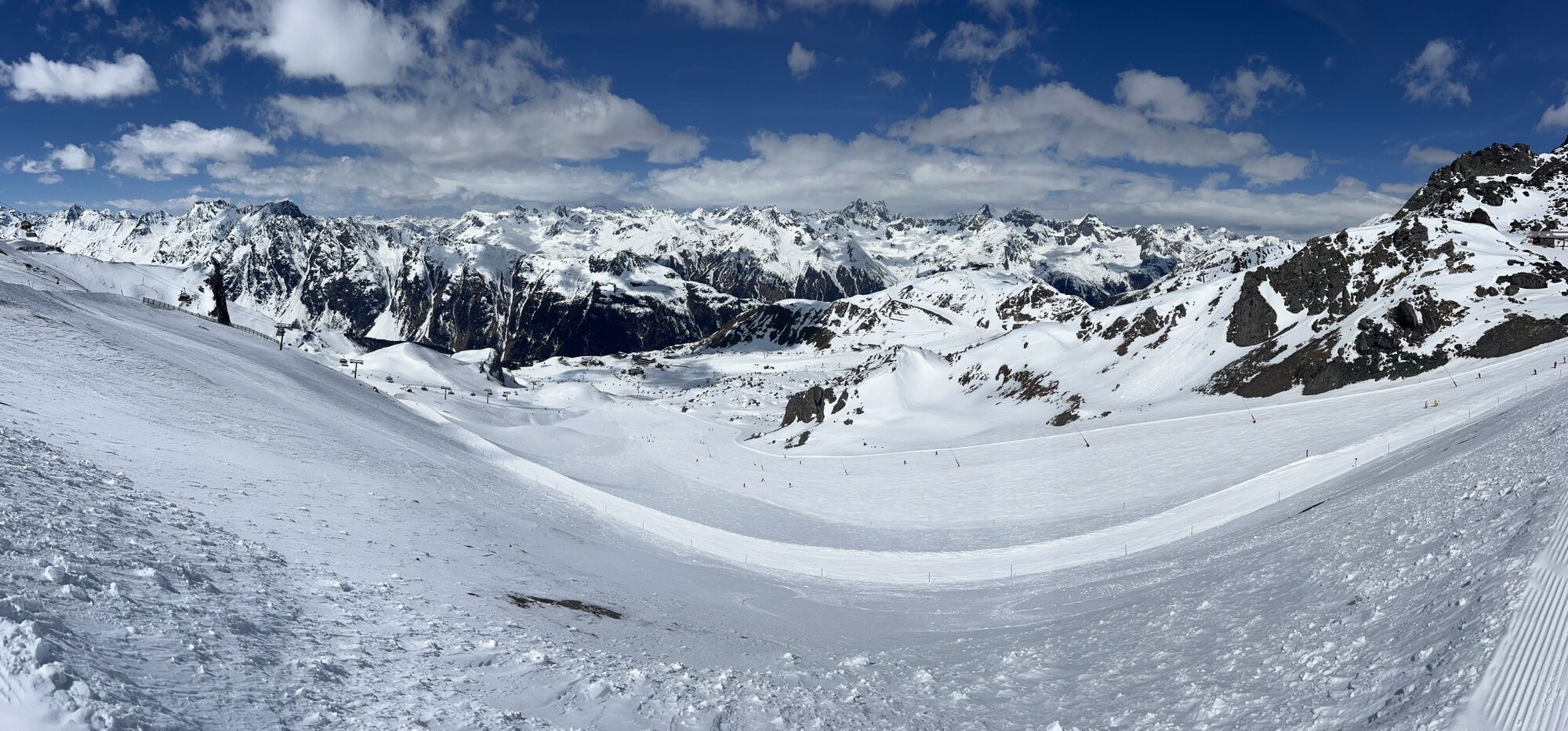
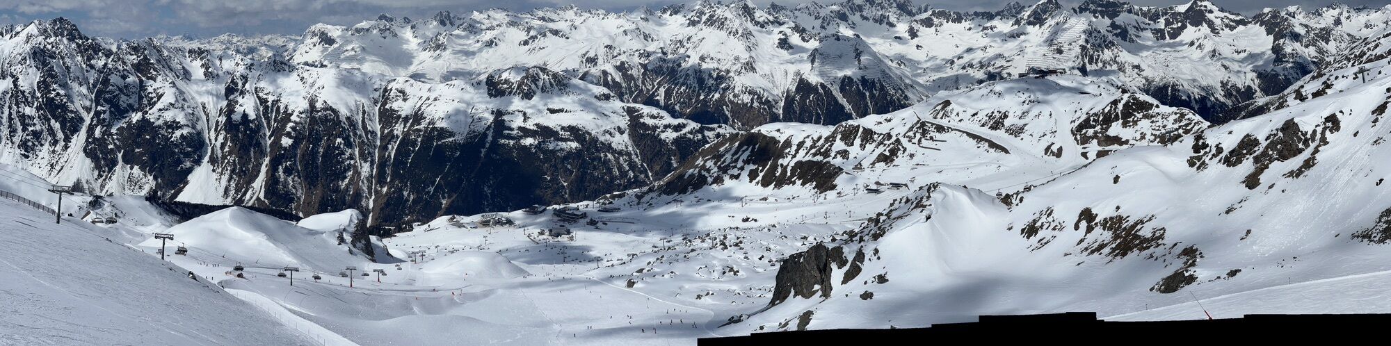
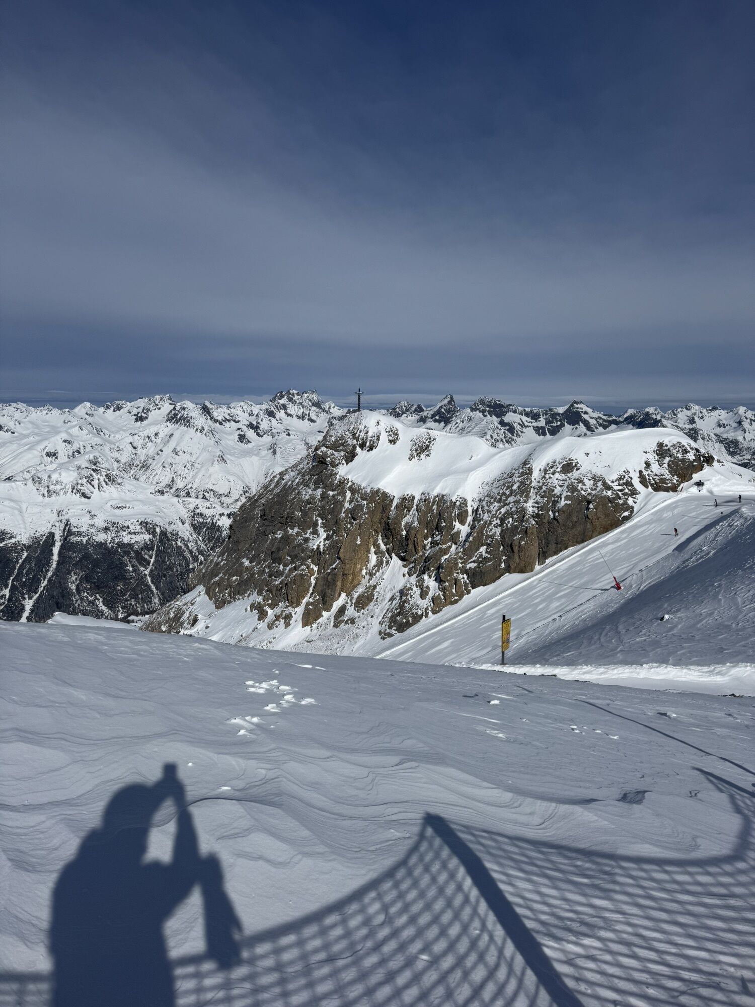
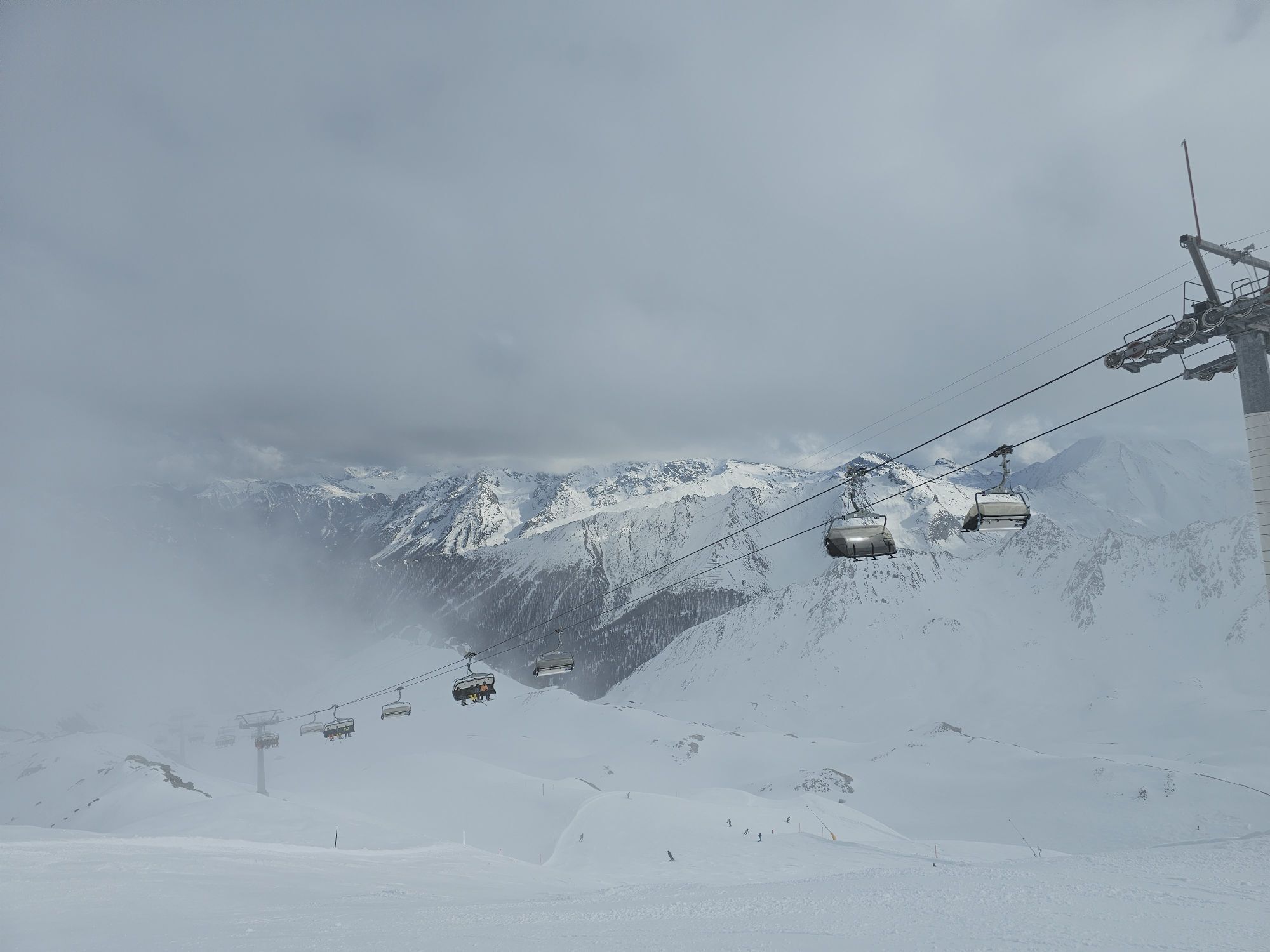
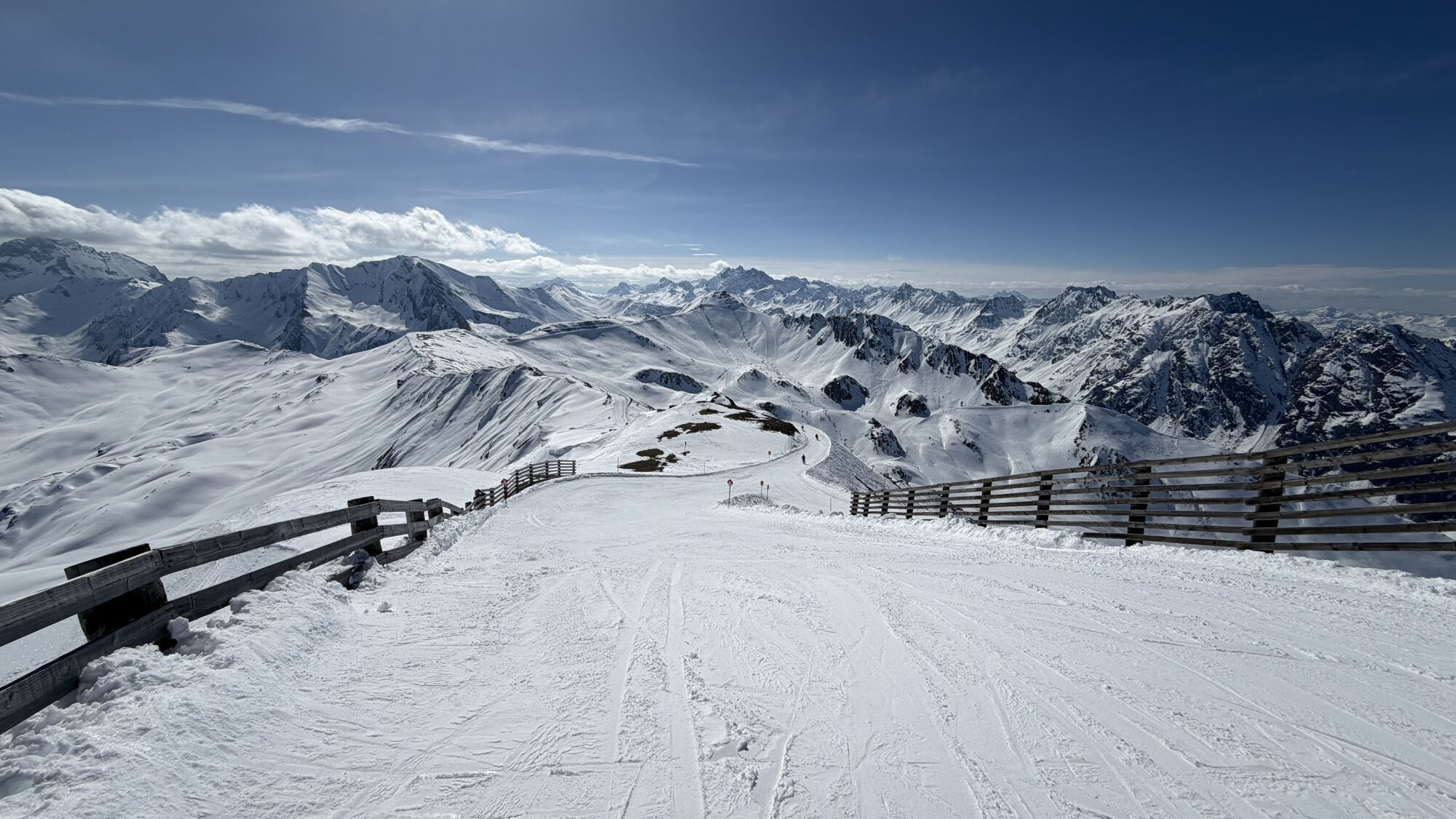
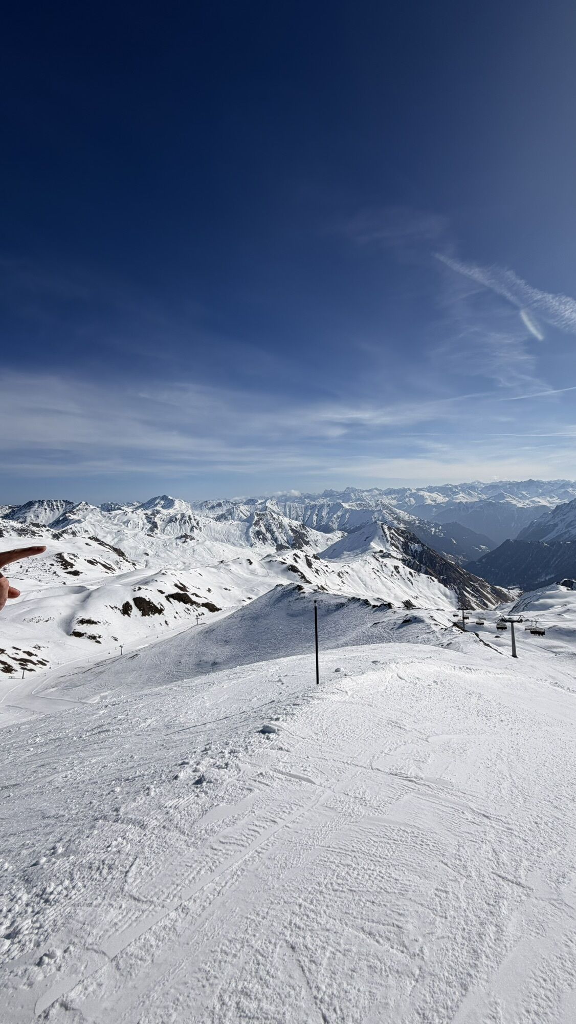
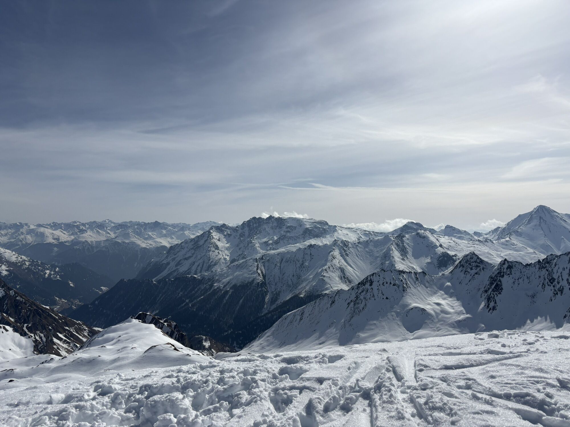
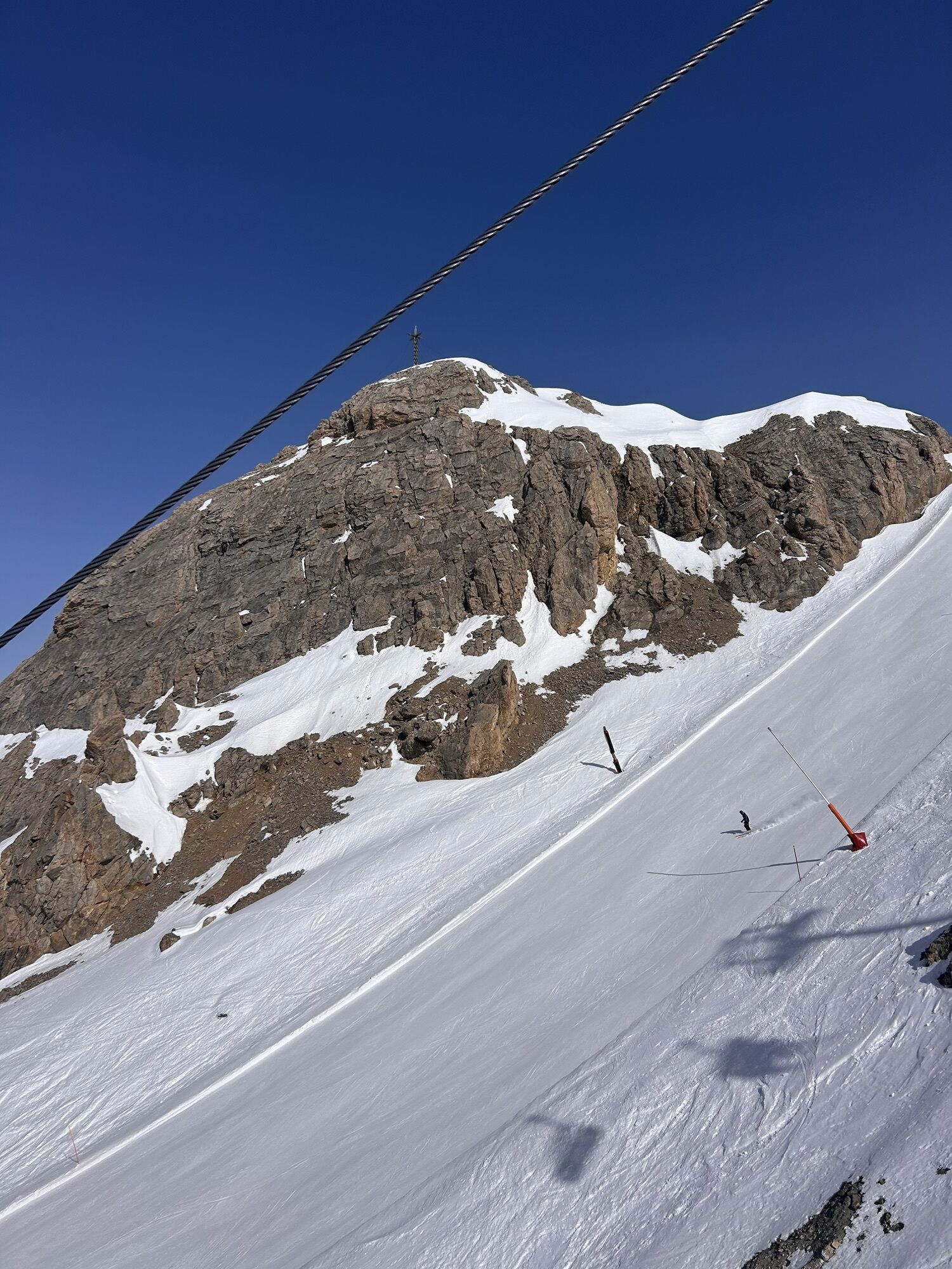
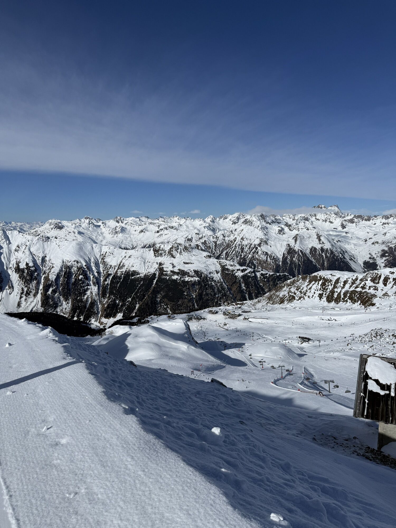
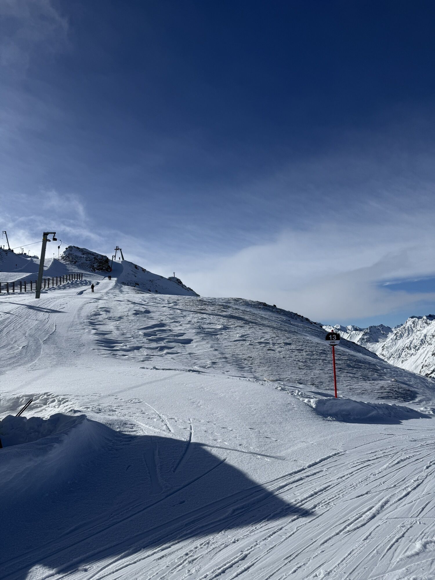
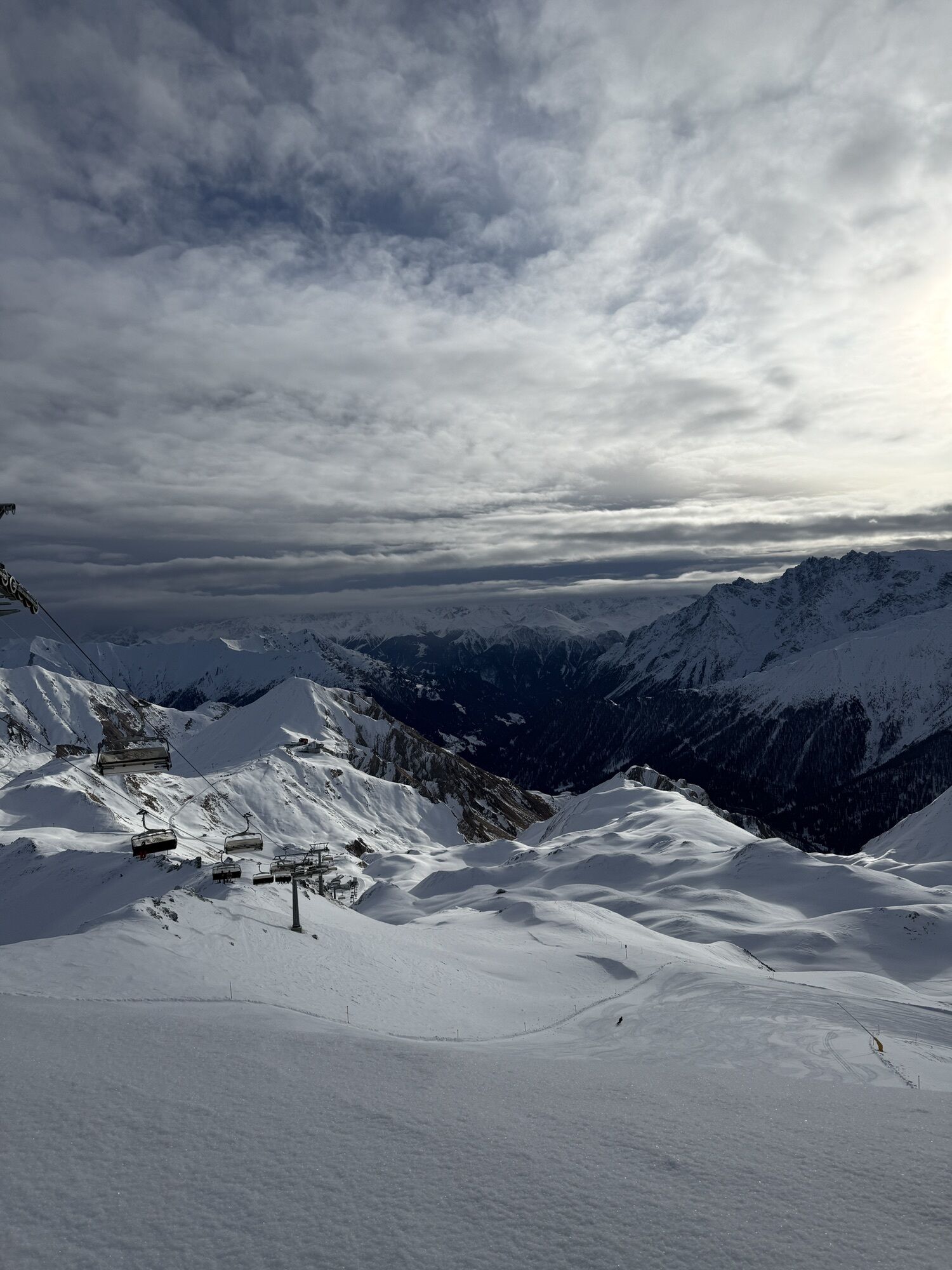
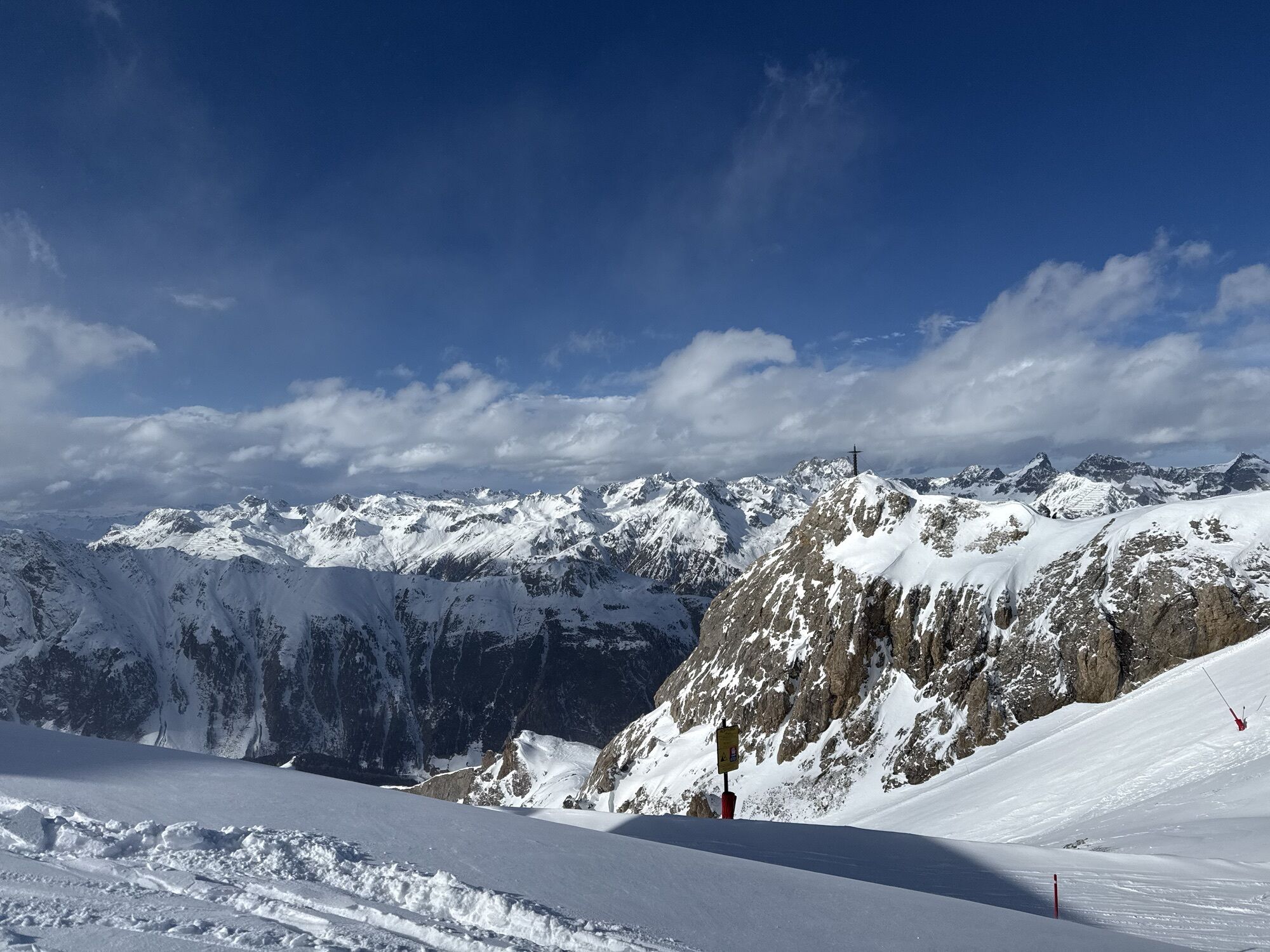
The start of the route is at Viderjoch, which we reach from Samnaun Ravaisch by a gondola ride and two chairlift rides. We still enjoy the mountain panorama without effort. From Viderjoch, it goes over the rocky border ridge via the highest point Greitspitz at 2870 m to Salaaser Kopf. The panoramic view into Paznaun and Samnaun valley is magnificent. At Salaaser Kopf, the border ridge is left direction Bergli with impressive gypsum dolines. A beautiful path leads almost flat above the Zeblas meadows.
Now we follow the alpine road for a short section towards Zeblasjoch. Shortly after Zeblasjoch, we take the path left through the impressive Val Gronda to Fuorcla Val Gronda. Slightly descending, it continues towards Heidelberger Hut. Before reaching the hut, the path branches off to the left and climbs for about 2 km to Fimberpass, the last pass for the day. From here, we enjoy the initially steep and then flattening downhill into Val Chöglia.
From point 2009, the path becomes the alpine road, which we follow to Griosch. Here we take the path along the river towards Zuort, a historic hamlet. Shortly before Zuort, there is a beautiful view of the earth pyramids. From here, we follow the forest road towards Vnà to the signpost pointing right towards suspension bridges/Val Sinestra. On a beautifully runnable forest path, we more or less follow the stream downhill and cross the two suspension bridges. Under the impressive Val Sinestra Hotel, we cross the Brancla one last time and reach the destination. From the Val Sinestra Hotel, we take the post bus to Sent. Those with energy left continue on the forest road to Sent (6 km).
Tak
Trail running shoes recommended.
The route has been rated under favorable weather conditions; current weather conditions and forecasts must be strictly observed before starting the route. This route requires a high level of riding safety and technical skill.
Emergency numbers:
144 Emergency, first aid
1414 Mountain Rescue REGA
112 International emergency
Please be considerate when crossing and overtaking hikers.
The Graubünden mountain bike routes largely run on single trails also designated as hiking trails. Hikers generally have the right of way.
From the north: via Landquart – Klosters by car shuttle through the Vereina tunnel (Selfranga - Sagliains) or via Flüela pass to the Lower Engadine on H27, turn left at Vinadi towards Samnaun
From the east: via Landeck / Austria towards Reschen pass on B180, from Kajetansbrücke towards Spiss – Samnaun on L348
From the south: via Reschen pass to Kajetansbrücke, from there towards Spiss – Samnaun on L348
From Scuol Tarasp station by post bus to Samnaun Ravaisch.
From Val Sinestra by post bus to Sent and Scuol
Free public parking at the valley station of the Samnaun cable cars in Samnaun-Ravaisch
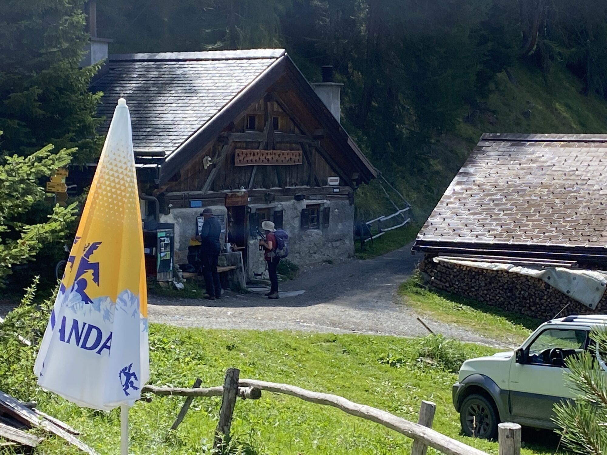
For refreshments, the Gartenbergbeizli in Griosch or the Hof Zuort restaurant invite you
The earth pyramids near Zuort are geologically impressive and offer a great photo opportunity
Uzyskaj wgląd
Zawsze na żywo z ponad 9 500 kamer internetowych. bergfex Jako użytkownik Pro, możesz teraz zobaczyć odpowiednie kamery internetowe dla wielu wycieczek w aplikacji wycieczki od. Pozwala to na bezpośredni podgląd aktualnych warunków.
Popularne wycieczki w okolicy
-
5,0
Menta Alm - Scheibenalm
światłoWędrówka 11,4 km -
4,7
Jamtal lodge
średniWędrówka 19,6 km -
4,3
Sonnenkogel - Friedrichshafener lodge
średniWędrówka 13,2 km -
5,0
Rundwanderung Berglisee, Mathon
ciężkiWędrówka 11,1 km -
5,0
Samnaun Dorf – Muttler
ciężkiWędrówka 14,8 km -
5,0
Alpkogelbahn mountain station - Kops reservoir - Zeinisjoch - Galtür
światłoWędrówka 15,7 km -
5,0
Around the Flimspitz from Alptrider Sattel
średniWędrówka 8,57 km -
4,5
Ski tour Hennekopf (2,704 m)
średniWycieczka narciarska 4,17 km -
3,5
Zeinisjoch
światłoWędrówka 11,6 km -
4,5
Etappe 2; Kappl-Heidelberger Hütte
średniMountainbike 23,3 km

Wędrówki i tropienie


Nie przegap ofert i inspiracji na następne wakacje
Twój adres e-mail została dodana do listy mailingowej.





