







Around Flimspitz from Alptrider Saddle


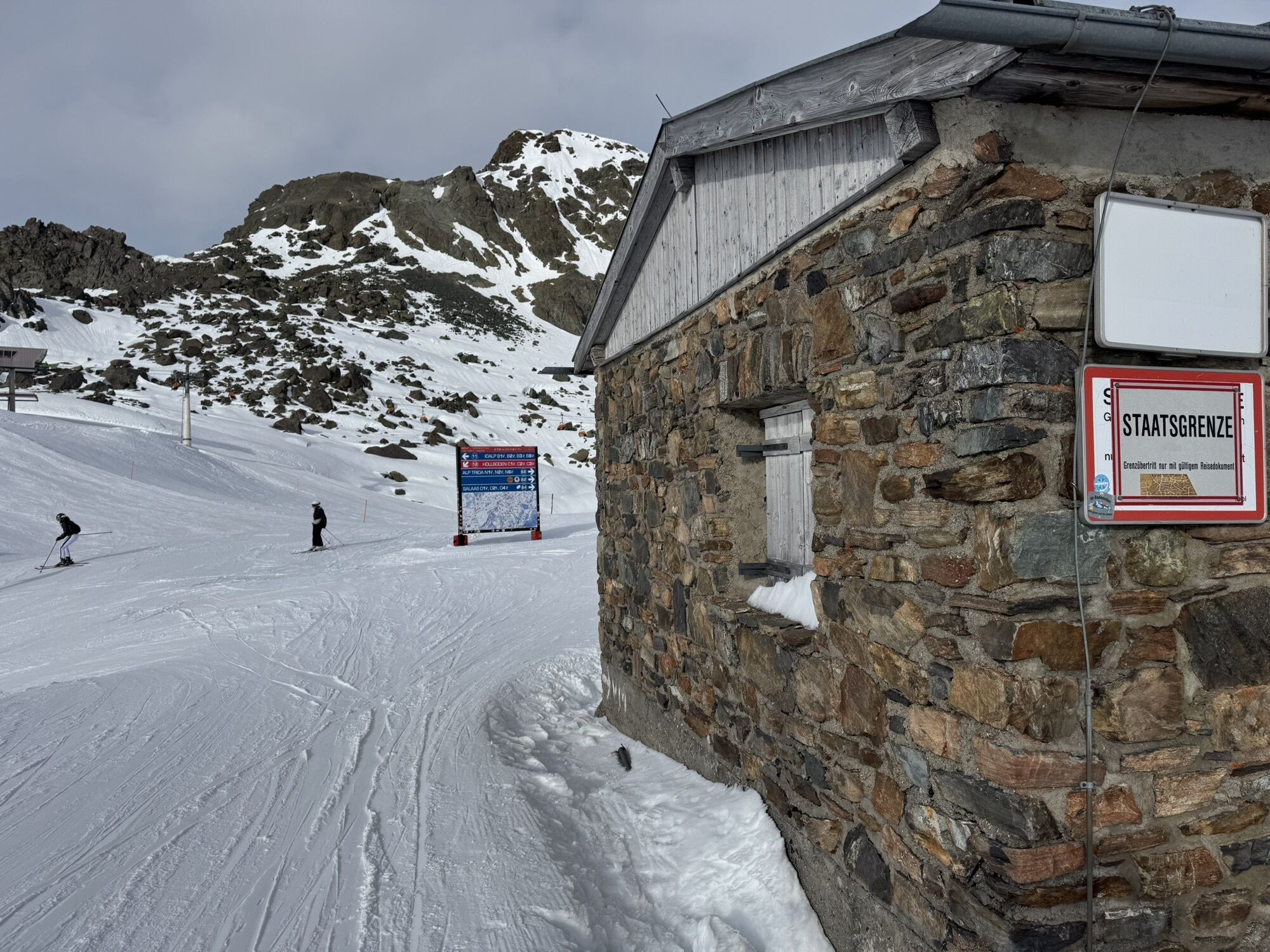
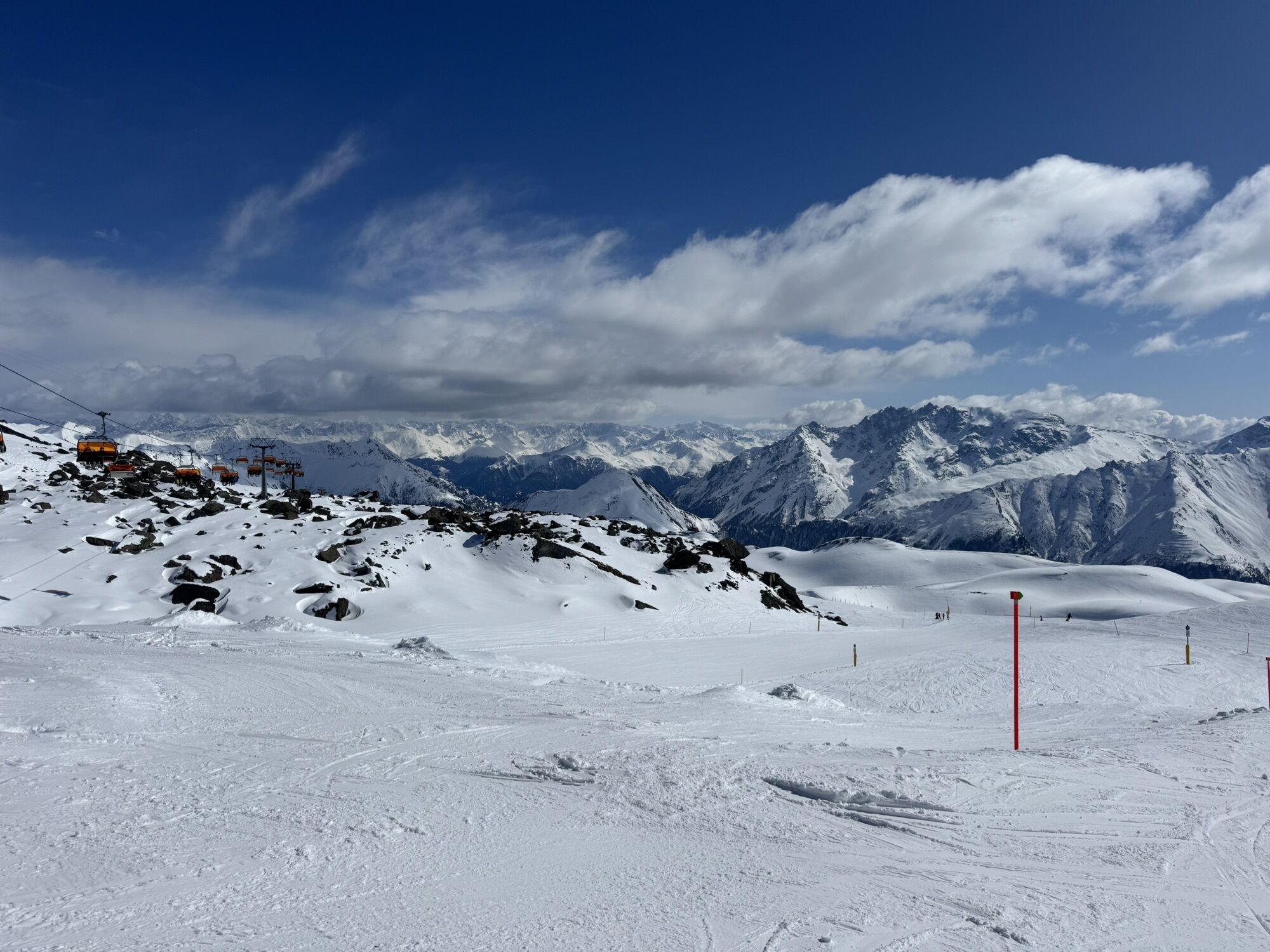
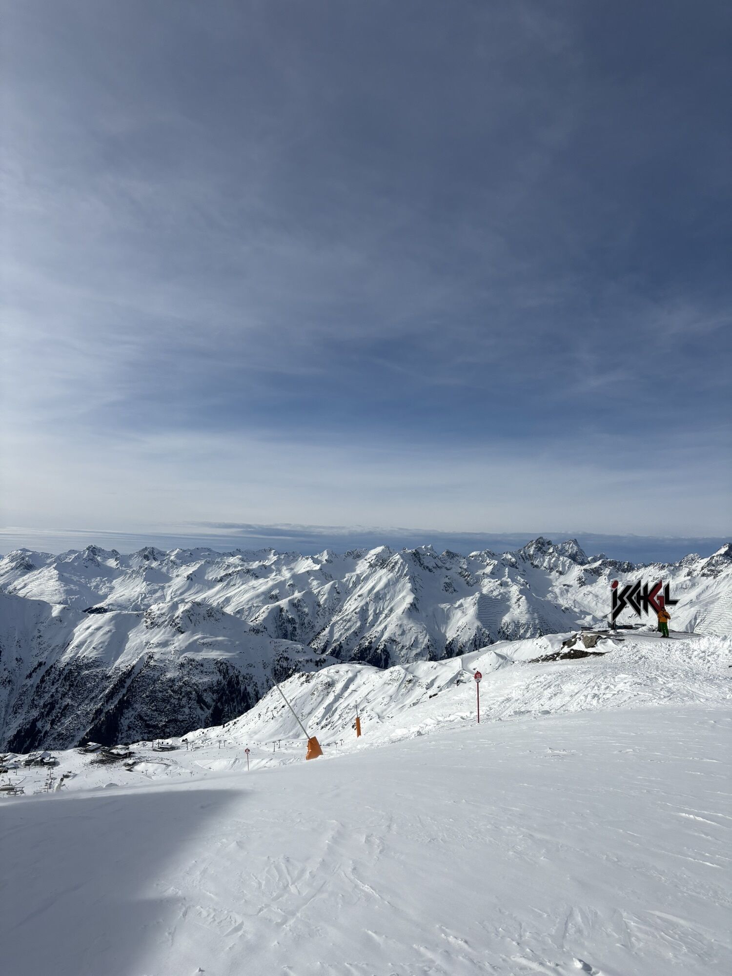
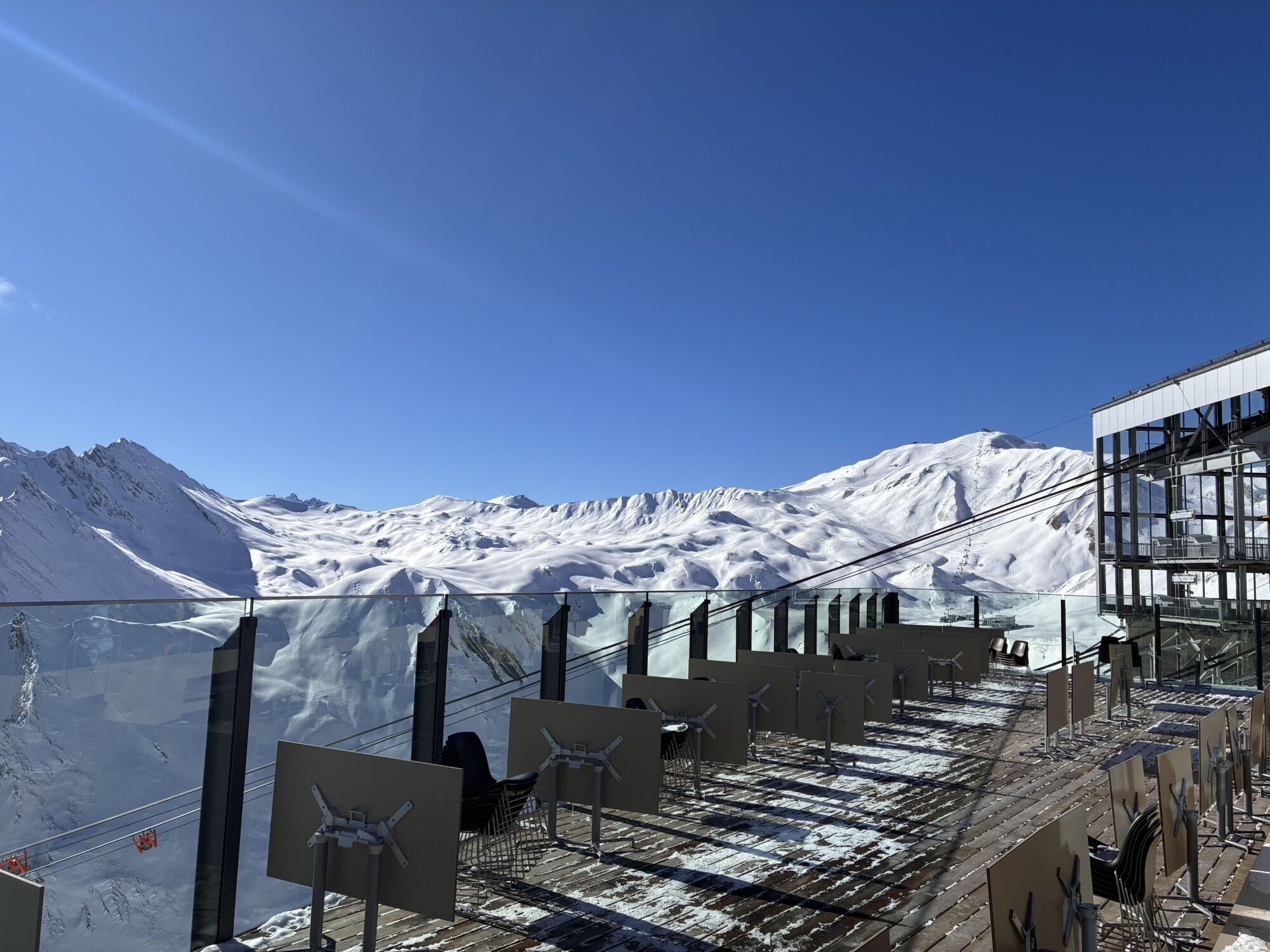
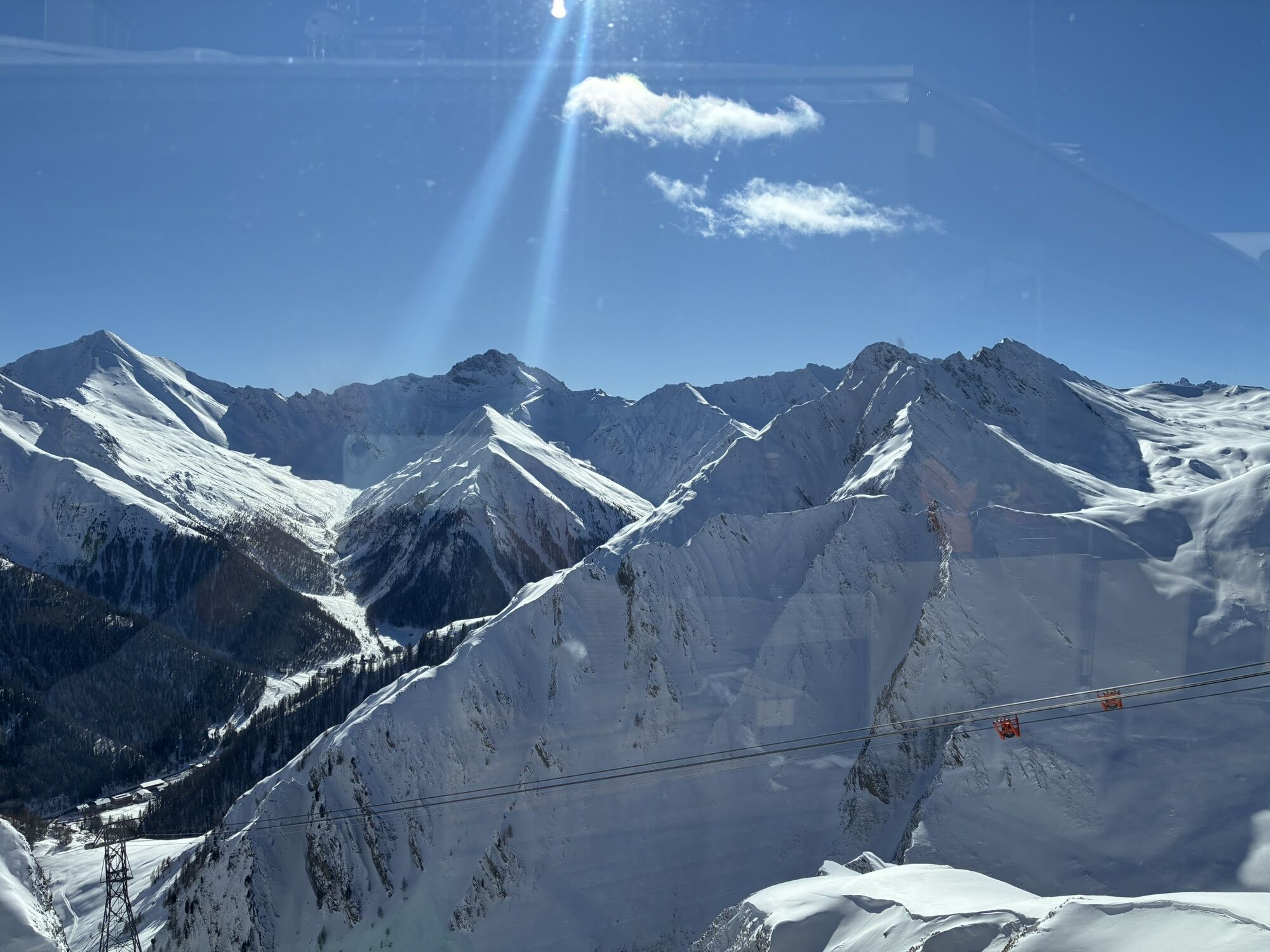
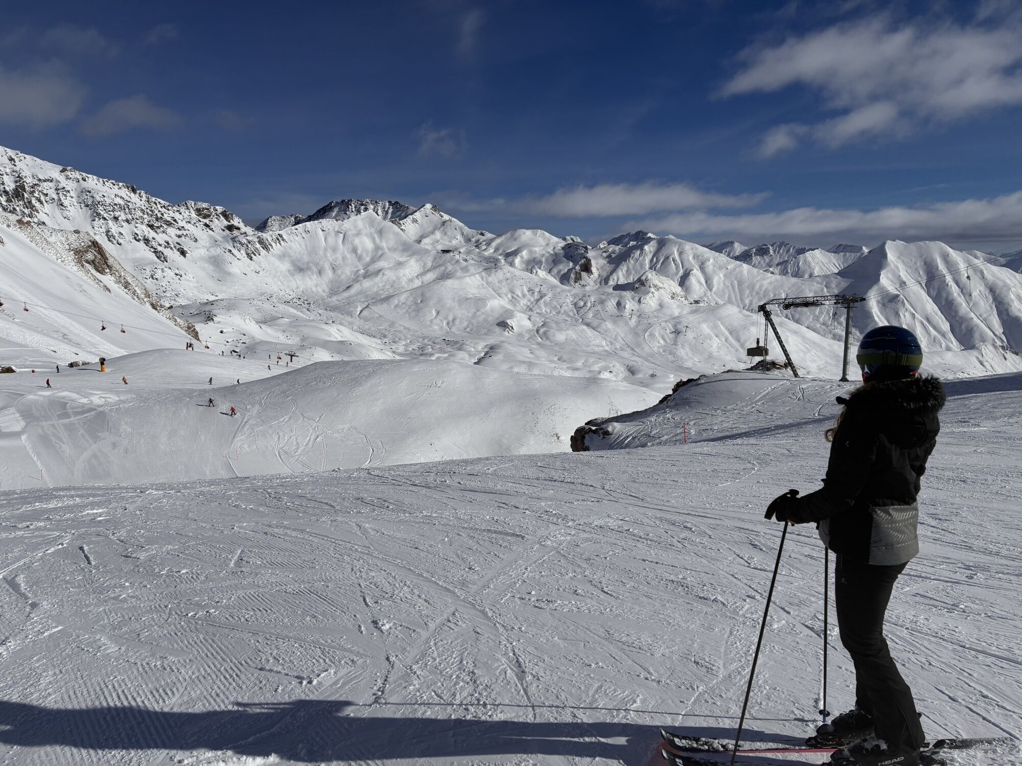
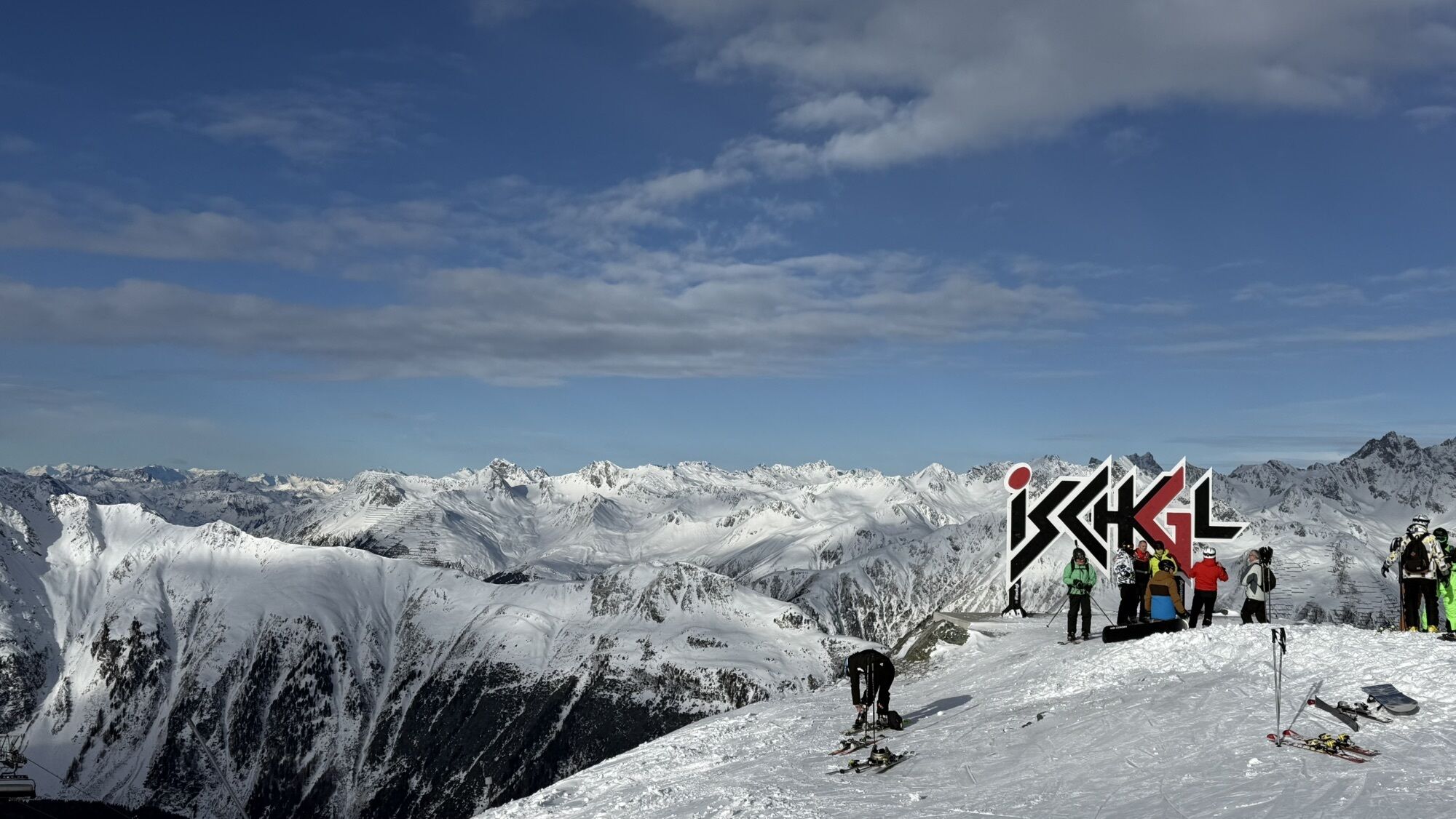
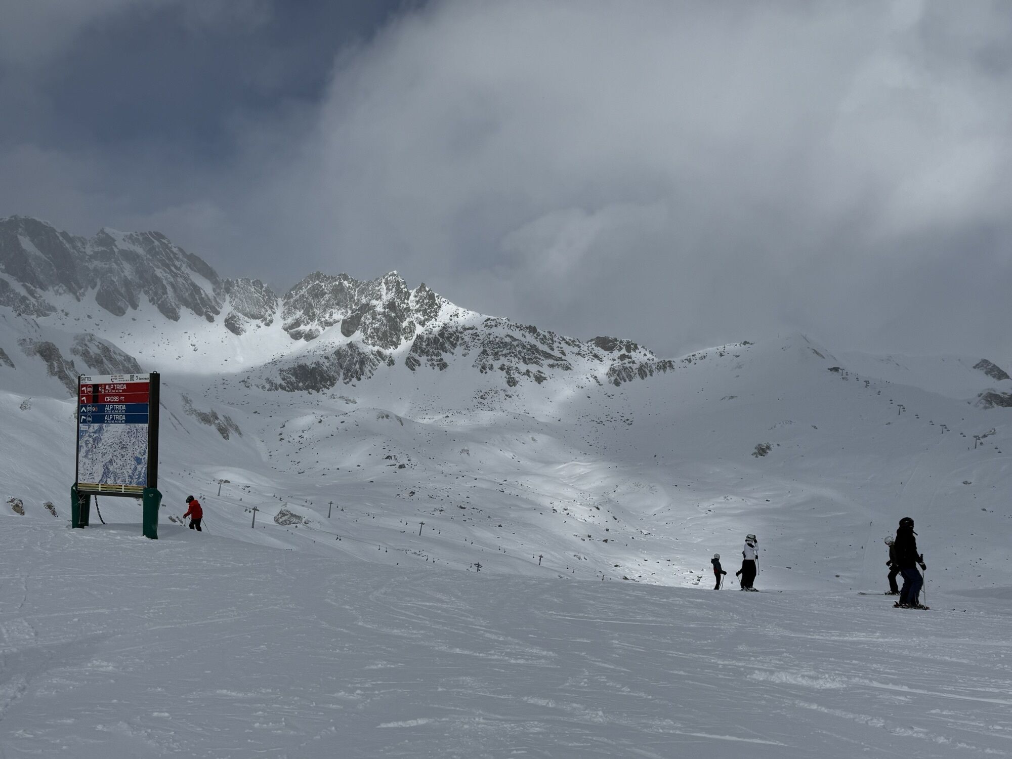
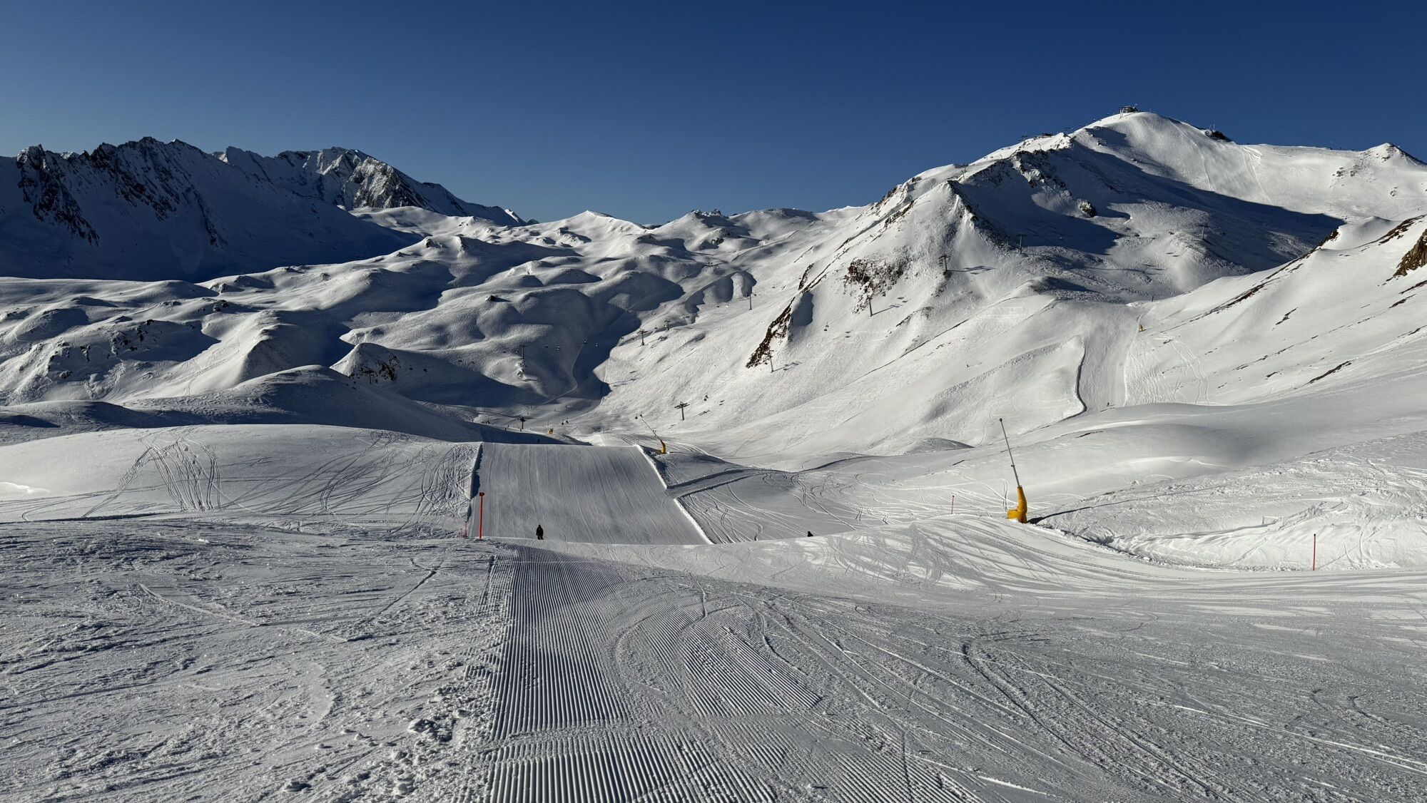
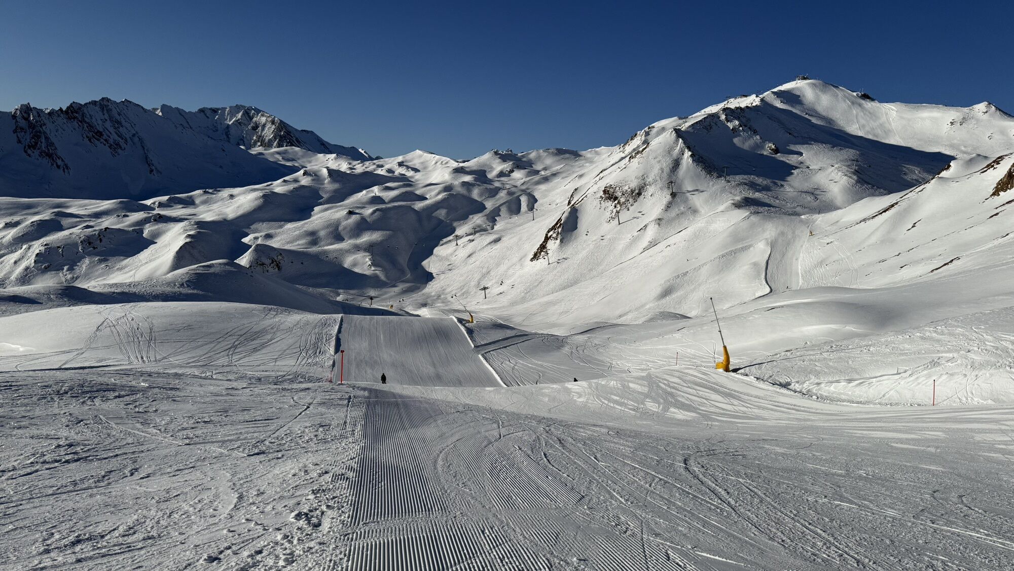
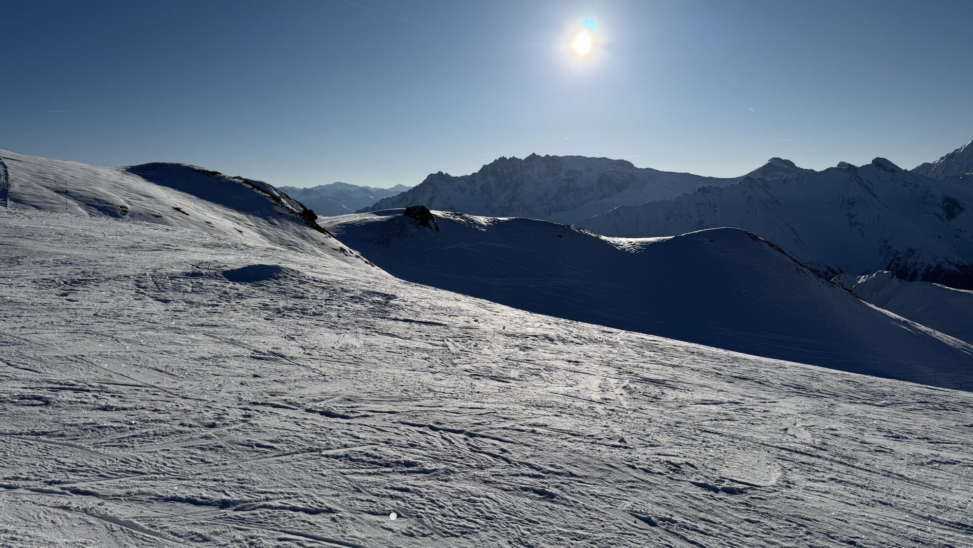
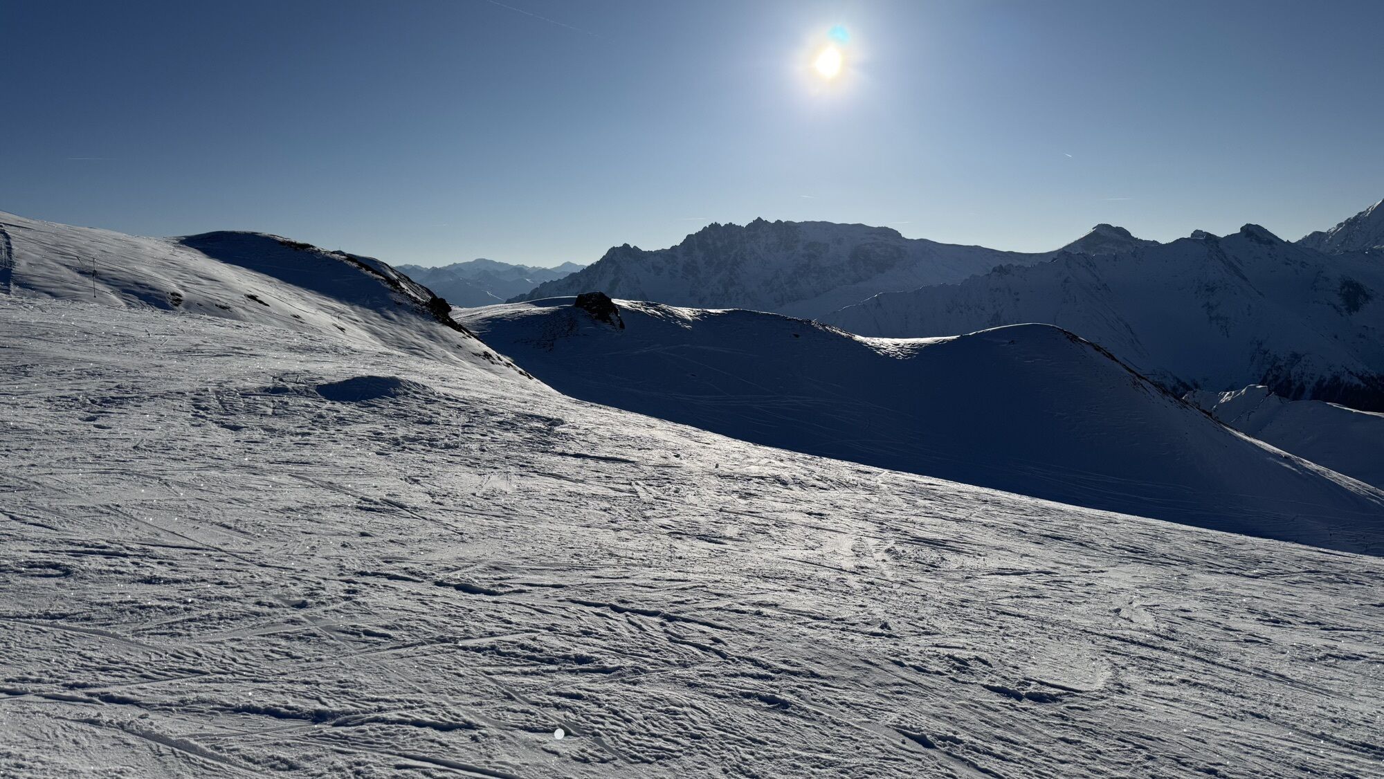
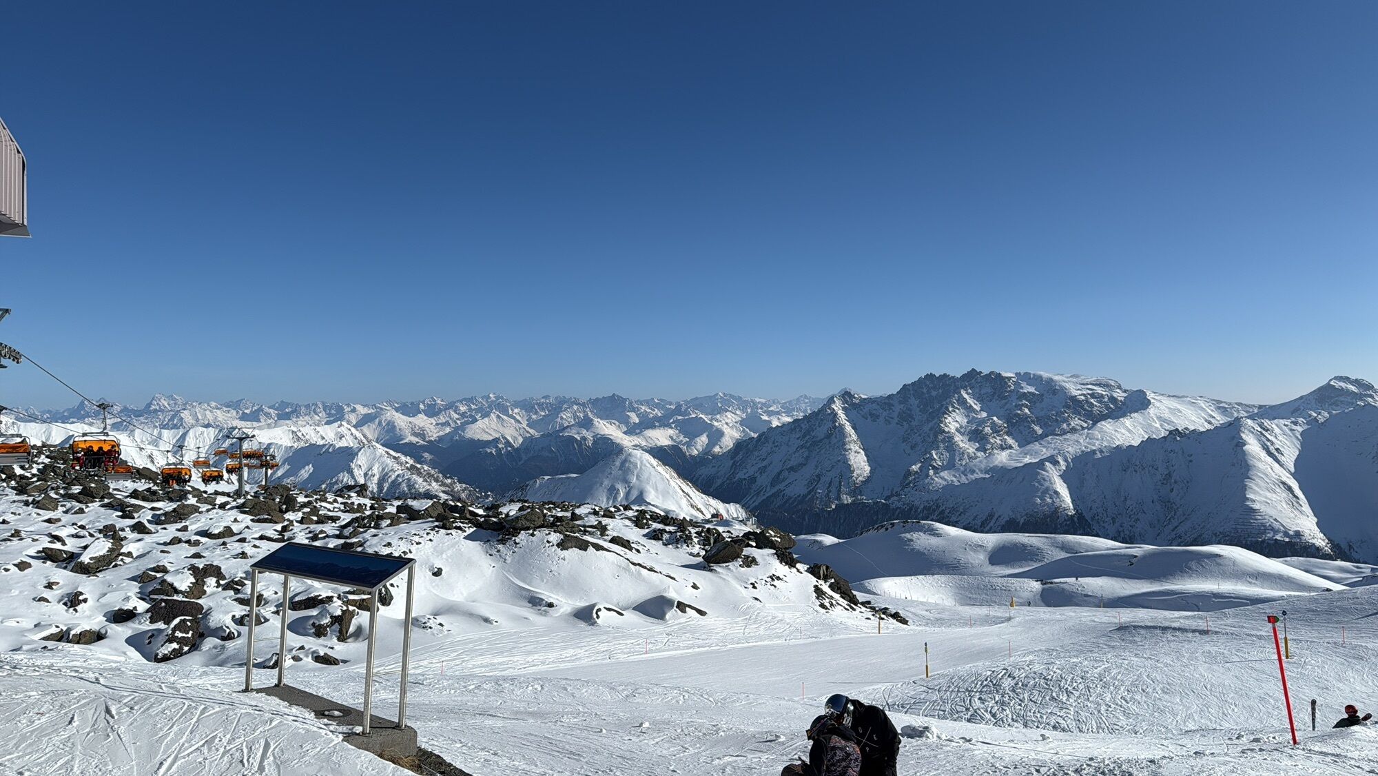
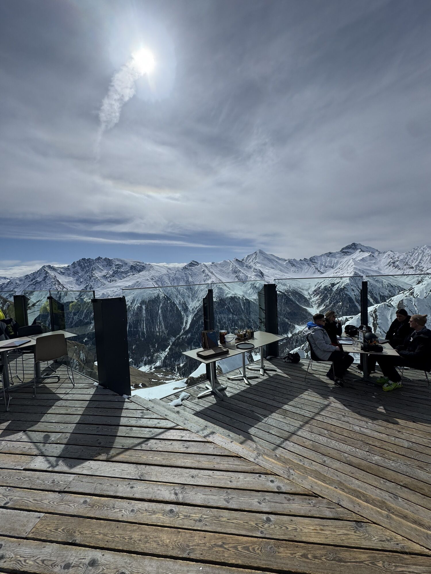
The hike starts from Alp Trida saddle along the ridge Alp Trider Eck towards Viderjoch. Just below the Viderjoch, the path passes the snowmaking reservoir. The Viderjoch marks the border between Austria...
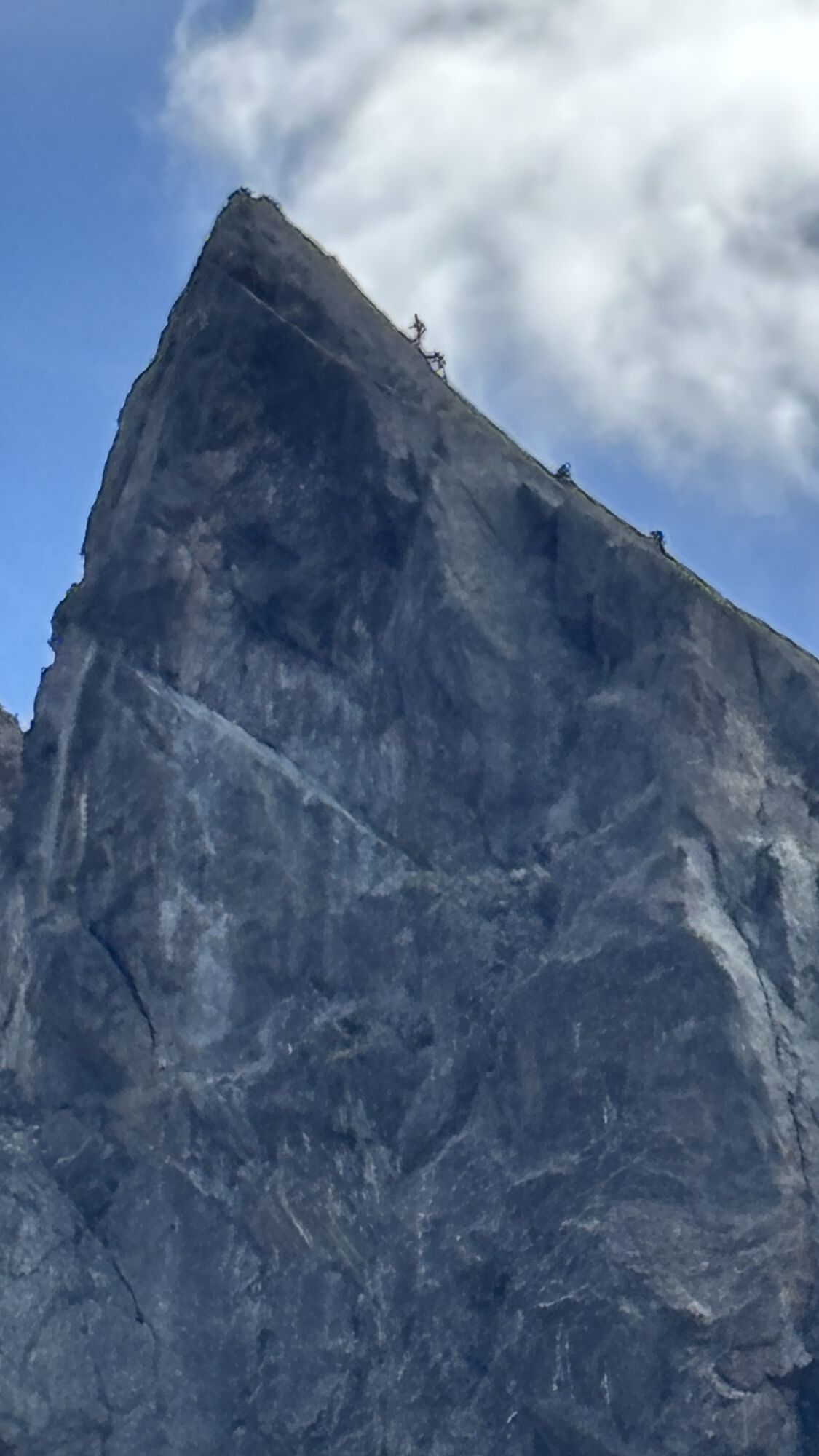
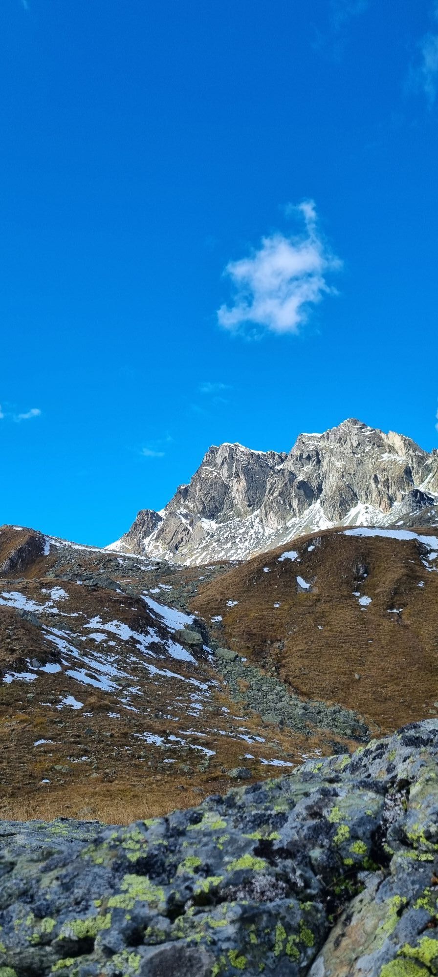
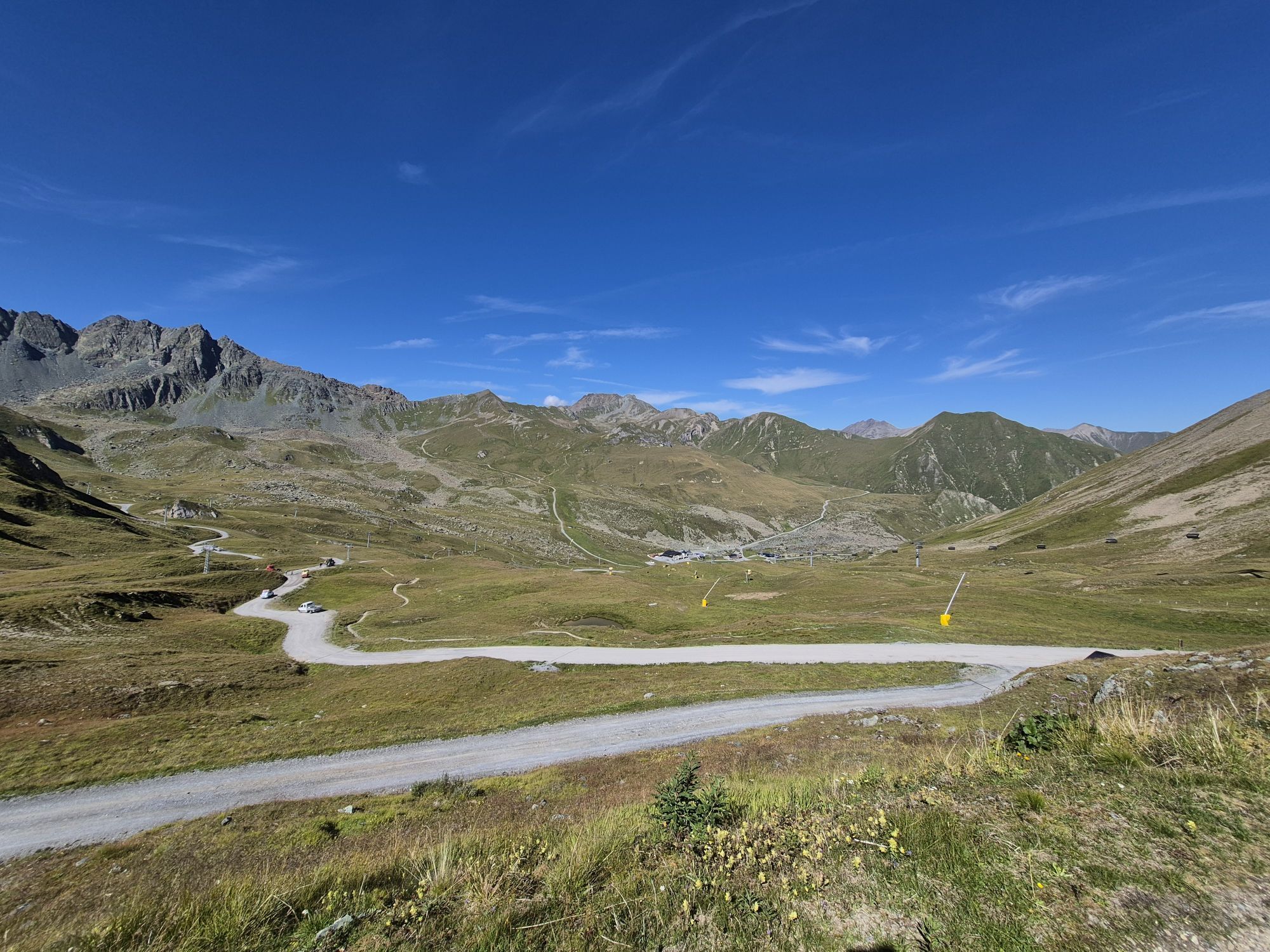
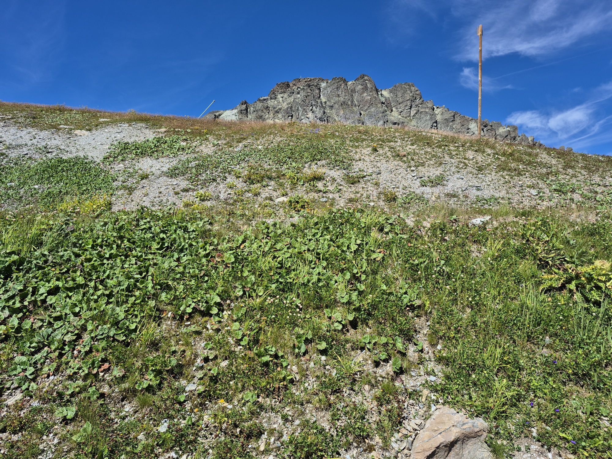
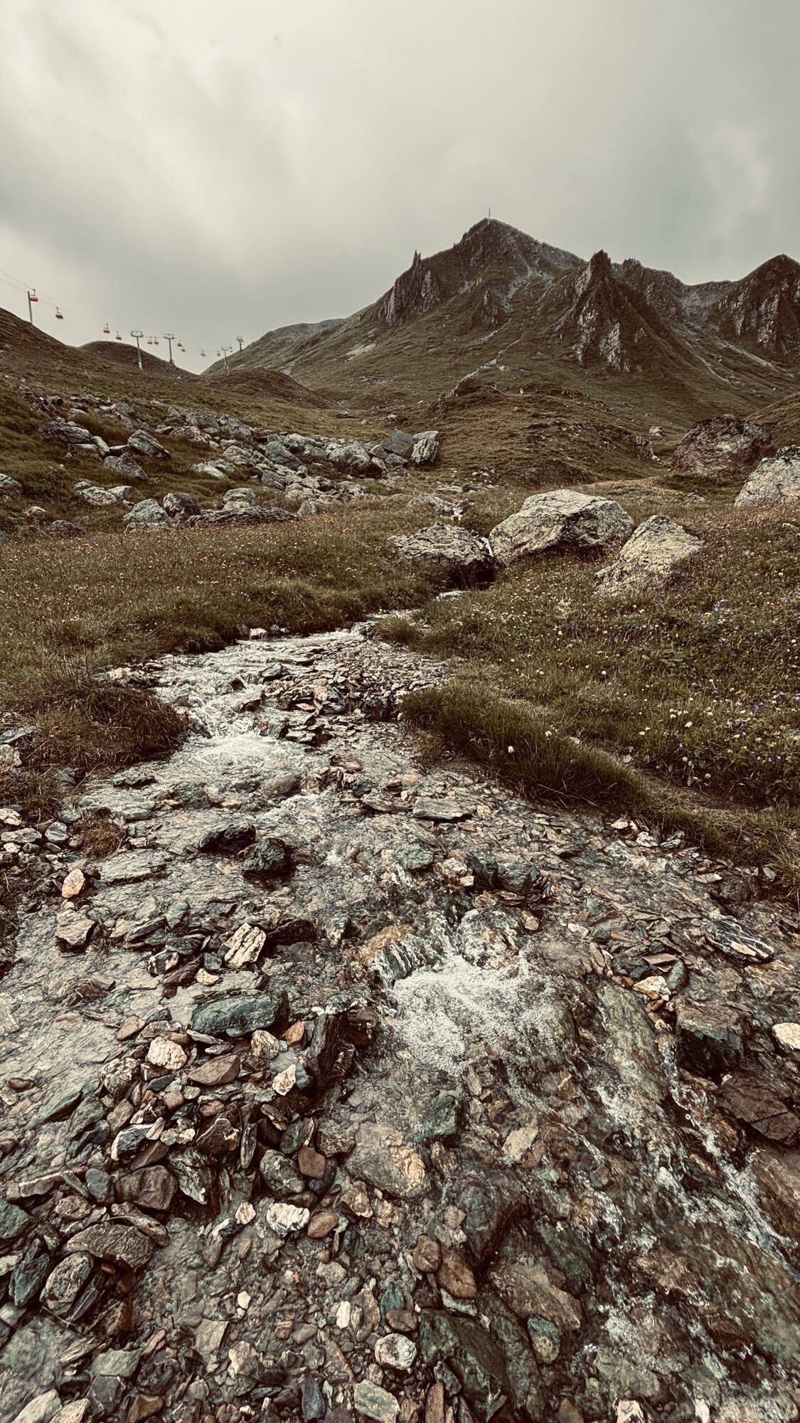
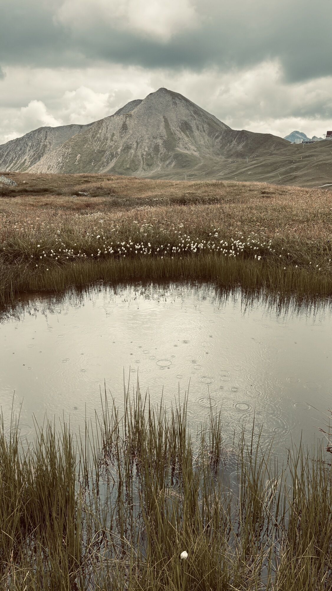
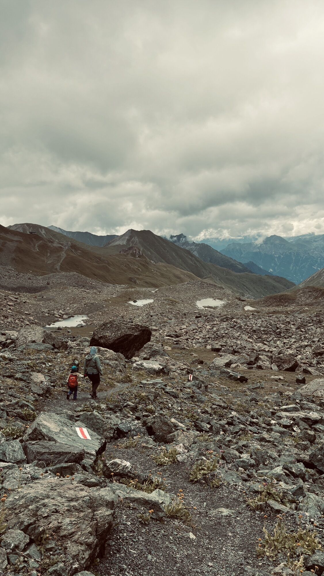
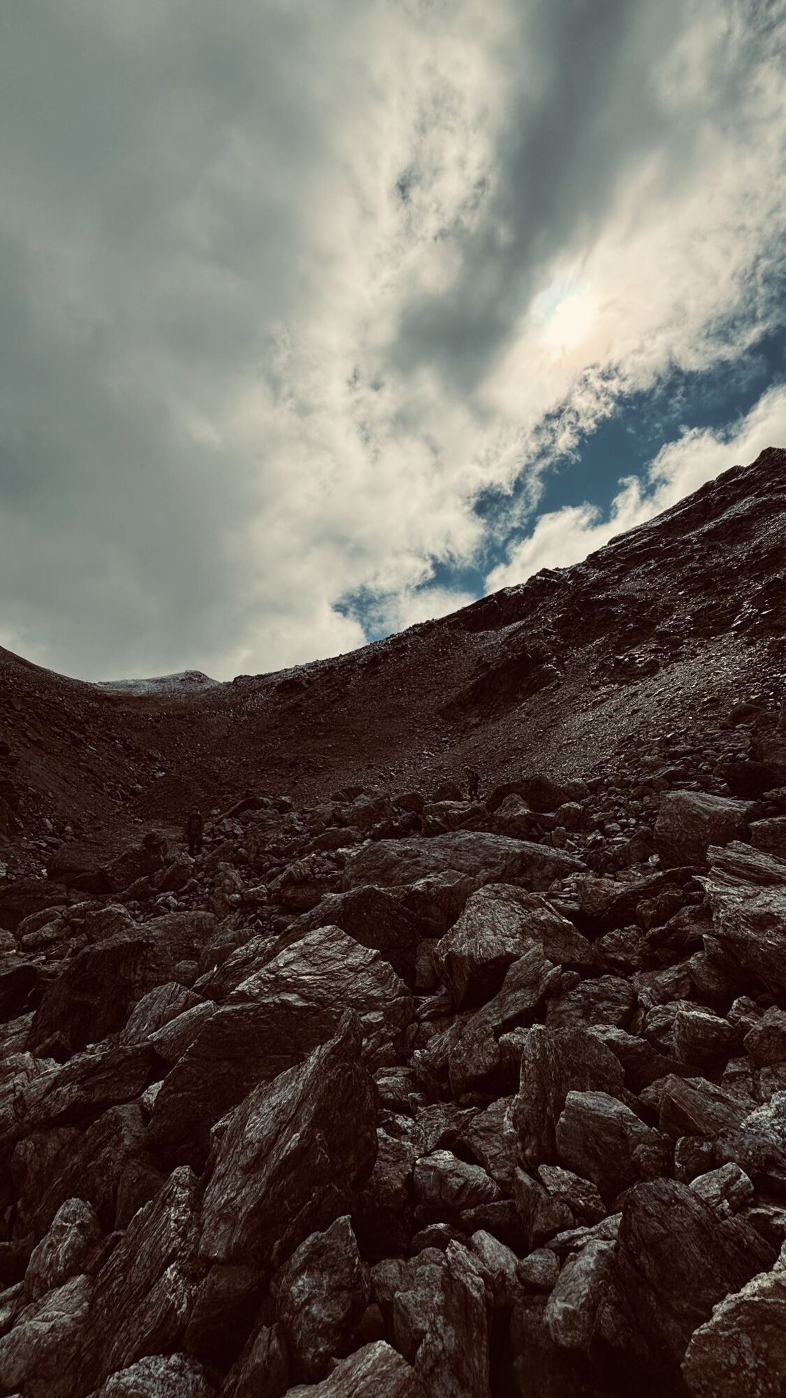
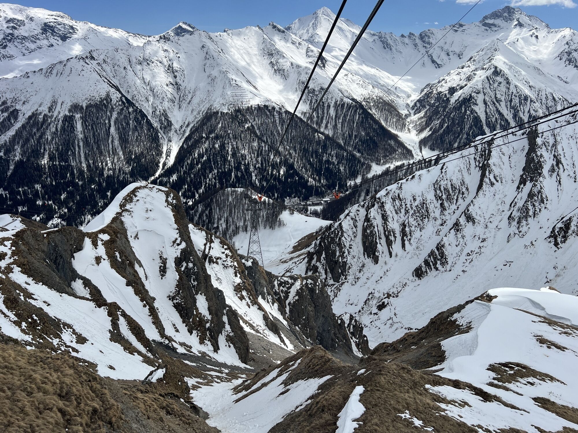
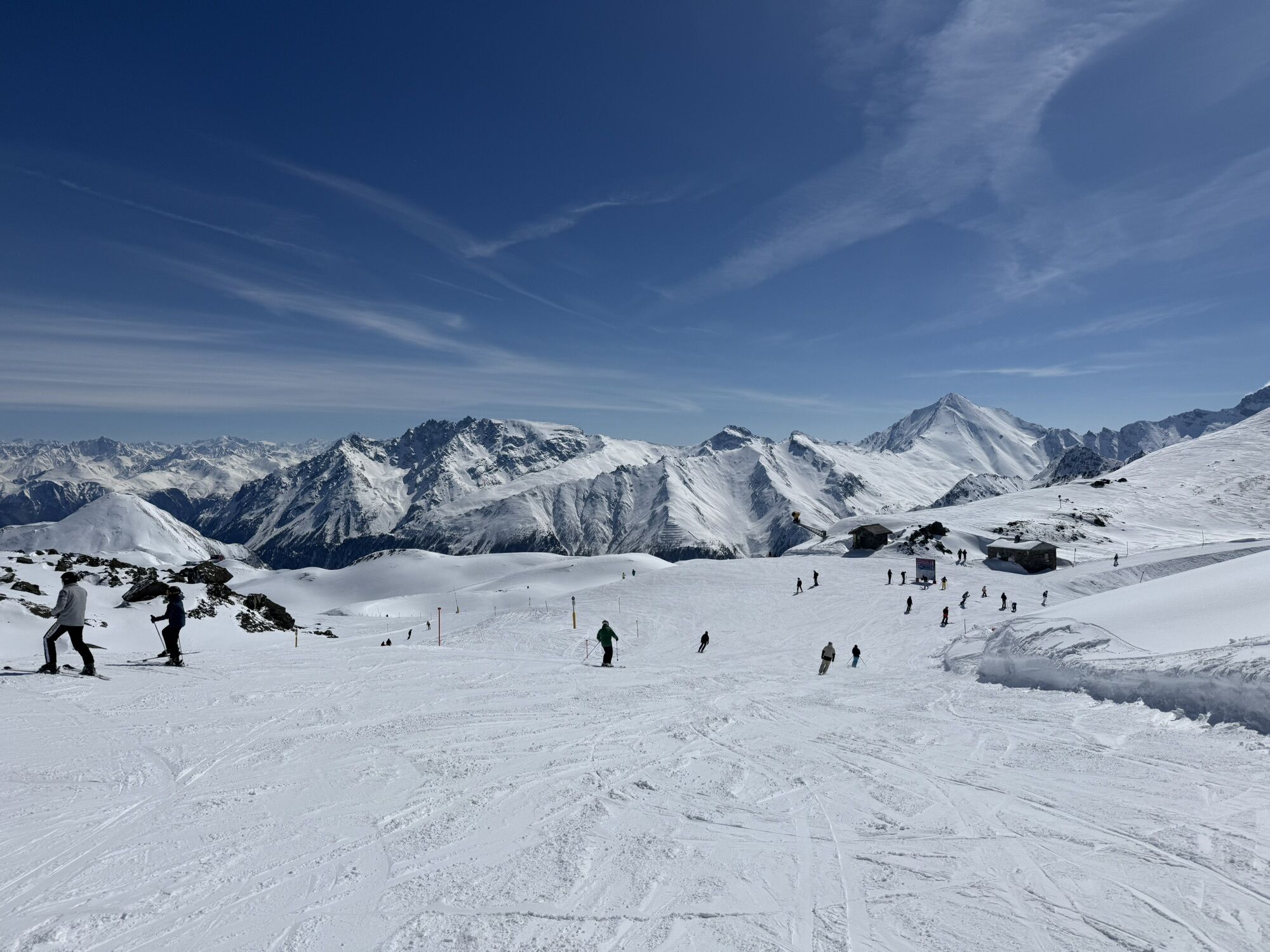
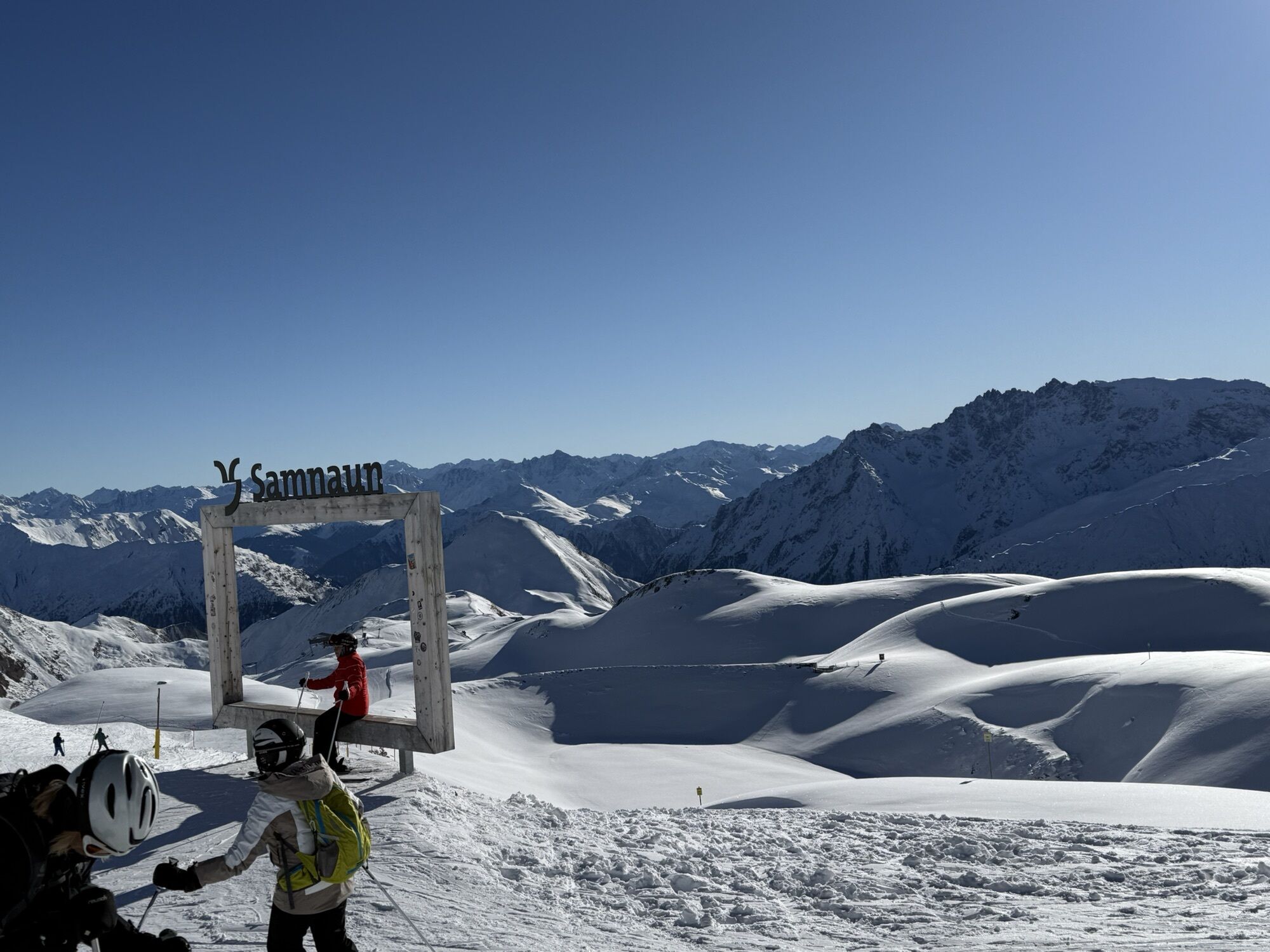
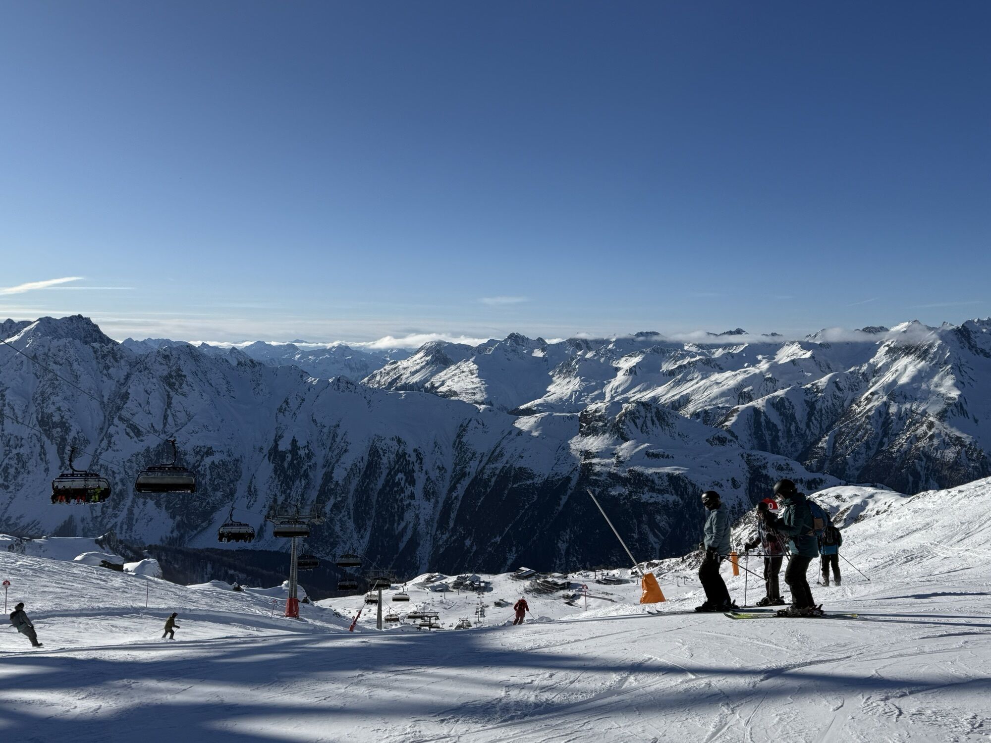
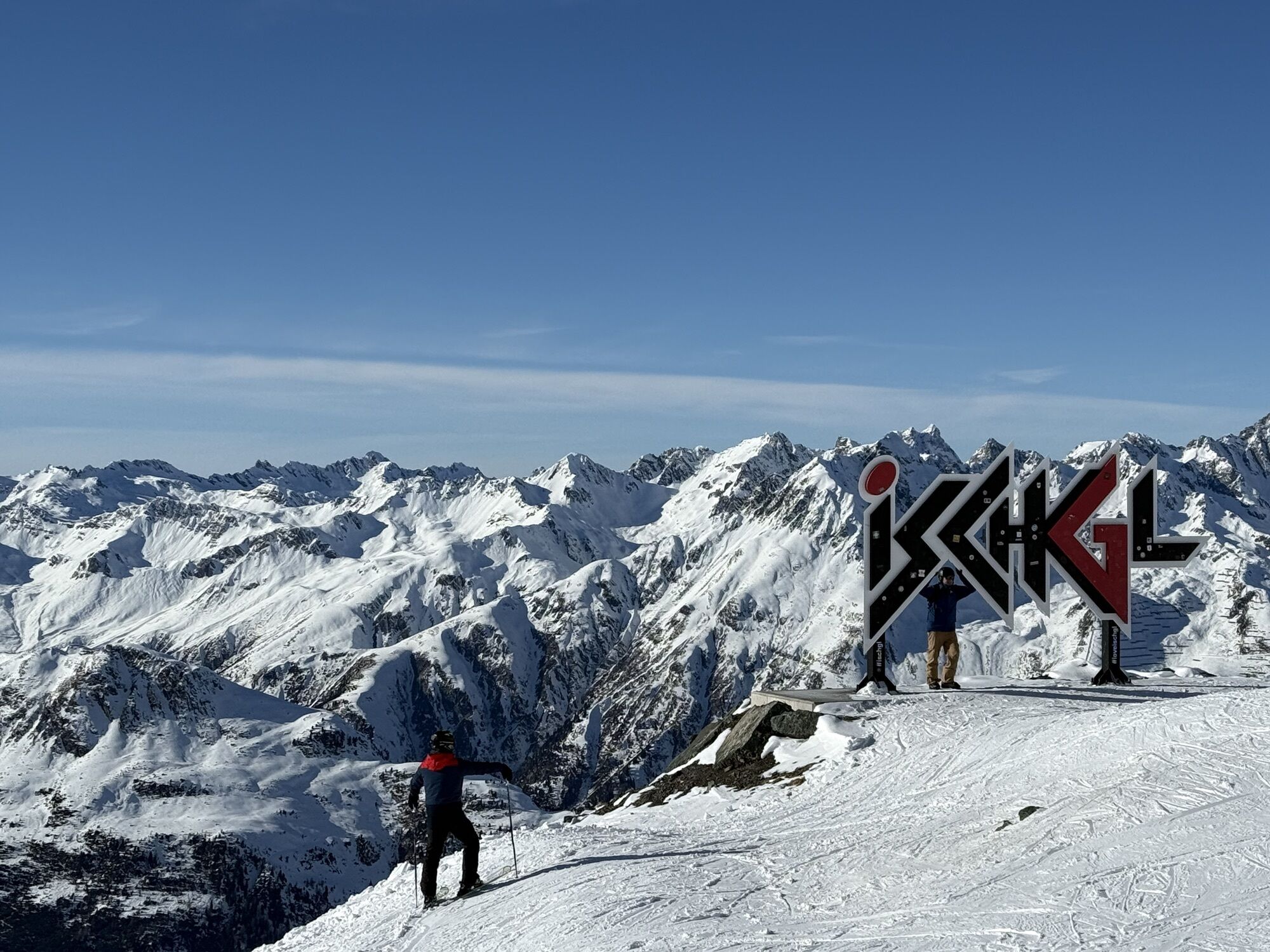
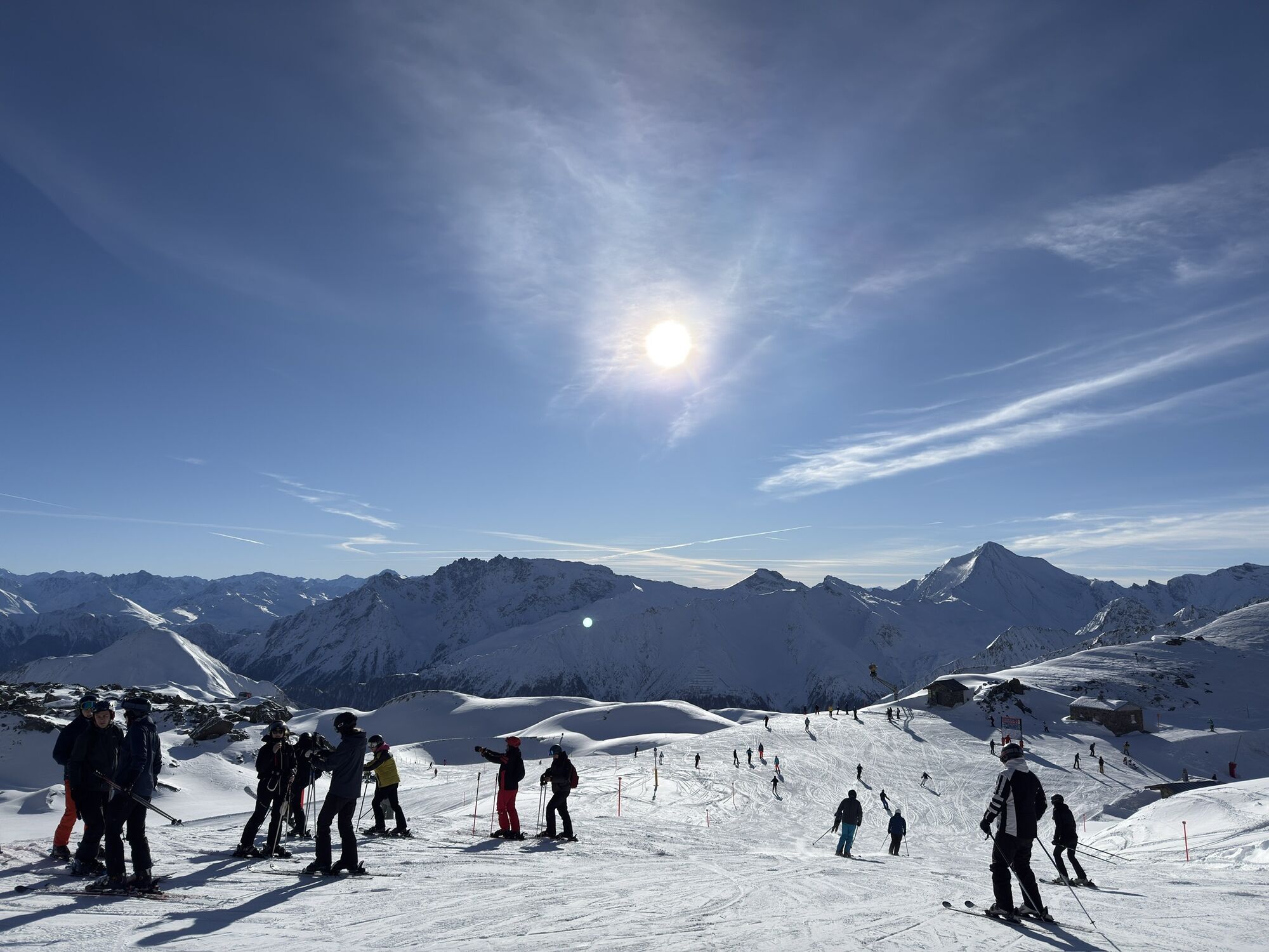
The hike starts from Alp Trida saddle along the ridge Alp Trider Eck towards Viderjoch. Just below the Viderjoch, the path passes the snowmaking reservoir. The Viderjoch marks the border between Austria and Switzerland; this point can also be reached by chairlift via Alp Trida. Now the path continues to the left of Flimspitz on Austrian soil. A short descent follows before the well-marked path crosses the impressive rockfall below Flimspitz. After a short ascent, you reach Flimjoch, where the national border is crossed again. Here there is the option to make a detour to Flimspitz. To the left tower Bürkelkopf and the Bürkelspitzen. At the bottom in the plain, there are five small lakes. The numerous large boulders around the lakes are ideal for a rest. In just under an hour you return to Alp Trida saddle.

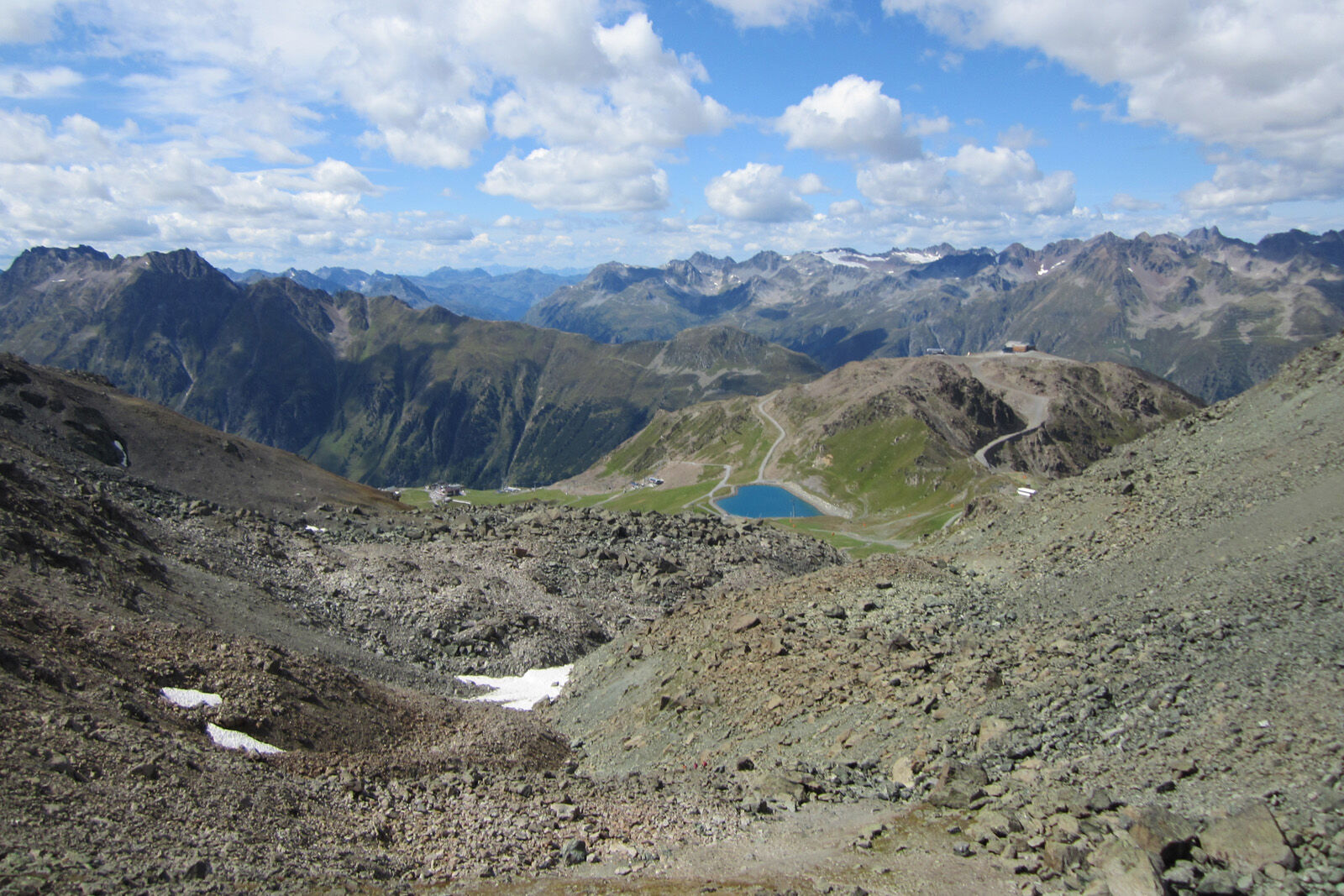
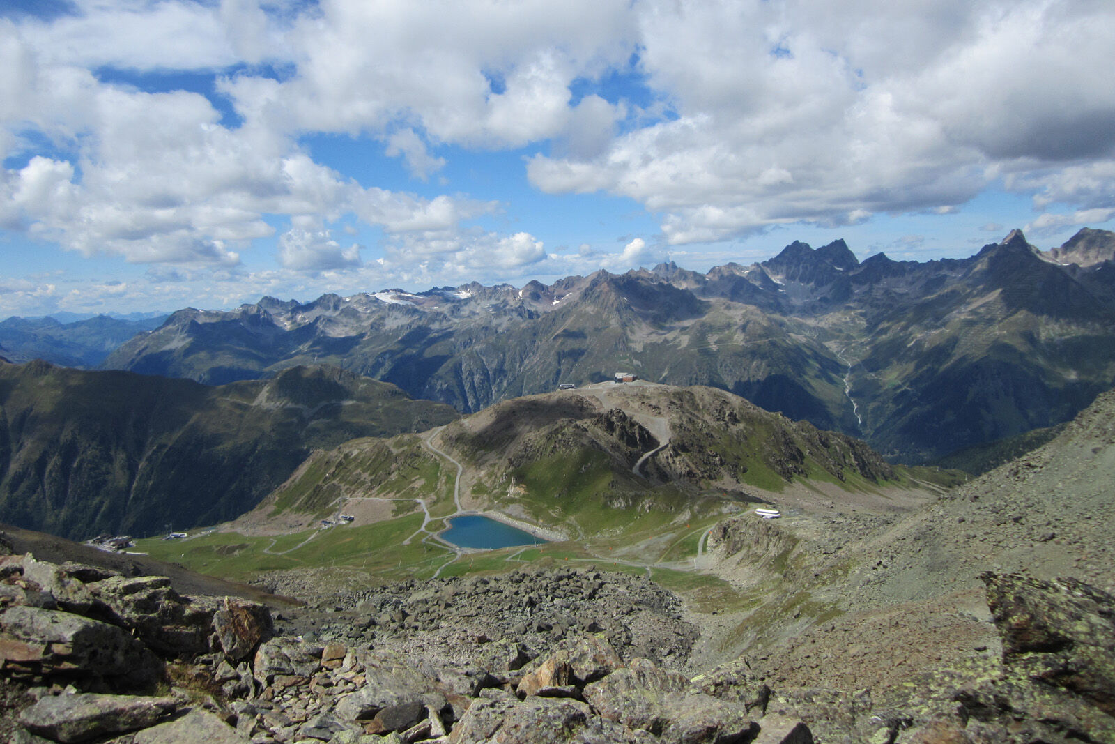
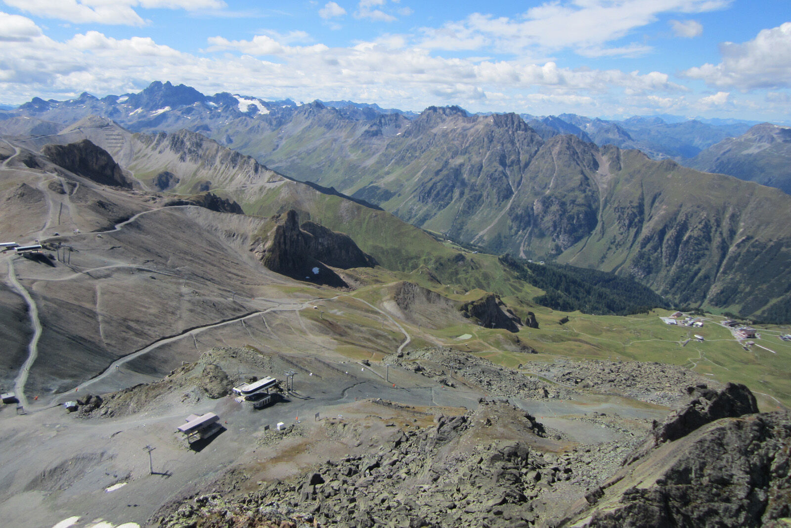

From Alp Trida saddle along the ridge towards Viderjoch
Past the mountain lake below Viderjoch and towards Flimspitz
Follow the path to Flimjoch
Optional detour to Flimspitz
Descent to the lakes
Return to Alp Trida saddle
Tak
Tak
Good footwear, rain and sun protection, drinking bottle, first aid kit.
The route was rated in favorable weather conditions; the current weather conditions and forecasts must be observed before starting the route.
Emergency numbers:
144 emergency call, first aid
1414 mountain rescue REGA
112 international emergency call
From the north: via Landquart – Klosters by car shuttle through the Vereina Tunnel (Selfranga - Sagliains). Then on H27 in the direction over Scuol and Martina to Vinadi. At the Vinadi junction to Samnaun (approx. 1 hour from Vereina South Portal)
From the east: via the Inn valley road B180 via Landeck to Pfunds, Kajetansbrücke junction and via Spiss to Samnaun.
From the south: via Reschen Pass (Nauders) on B180 to Pfunds, Kajetansbrücke junction and via Spiss to Samnaun.
With the Rhaetian Railway (from Chur, Landquart/Prättigau or from the Upper Engadine) hourly to Scuol-Tarasp station
Hourly connections with the PostBus, line 921 to Samnaun-Ravaisch, mountain railways
Parking at the valley station of the double-deck cable car, Samnaun-Ravaisch

Kamery internetowe z trasy



Popularne wycieczki w okolicy
- 4,2
St Anton zur Darmstädter Hütte
ciężkiMountainbike 28,4 km - 4,8
Furgler vom Lazid
ciężkiWycieczka wysokogórska 9,60 km - 5,0
Menta Alm - Scheibenalm
światłoWędrówka 11,4 km - 5,0
Rundwanderung Berglisee, Mathon
ciężkiWędrówka 11,1 km - 4,5
Sonnenkogel - Friedrichshafener lodge
średniWędrówka 13,2 km - 4,7
Hoher Riffler from Pettneu
średniWycieczka narciarska 20,1 km - 5,0
Kappl, Diasbahn Bergstation, Niederelbehütte, Diasbahn, Österreich
średniWędrówka 10,1 km - 5,0
Darmstädter Hütte mit Rückweg über Rendl Alpe
średniMountainbike 36,3 km - 4,6
Furgler über Tieftalsee
średniWędrówka 3,97 km - 3,8
Bergstation Silvretta nach Patznauener Taja
światłoWędrówka 11,6 km

Wędrówki i tropienie


Nie przegap ofert i inspiracji na następne wakacje
Twój adres e-mail została dodana do listy mailingowej.





