


Thermal Run Längenfeld 12k
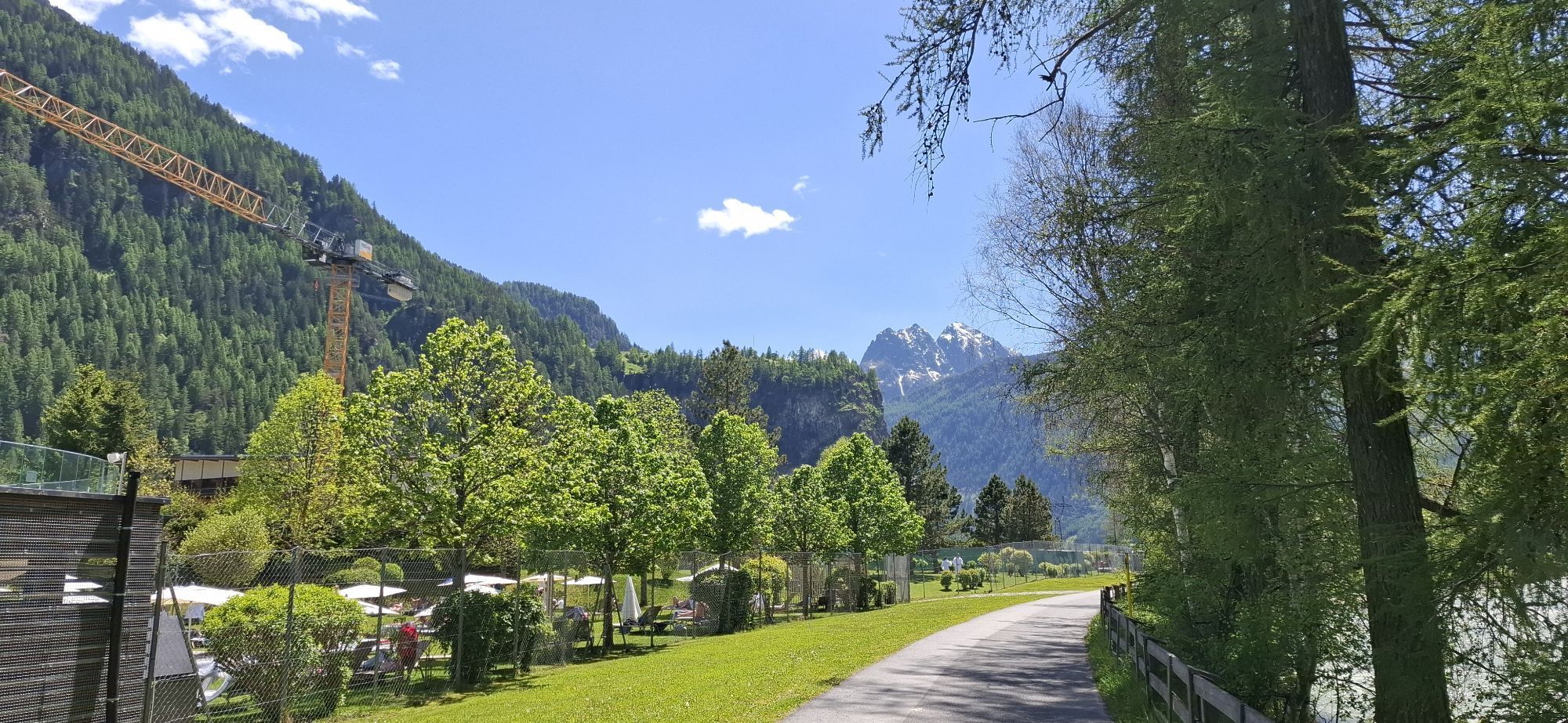
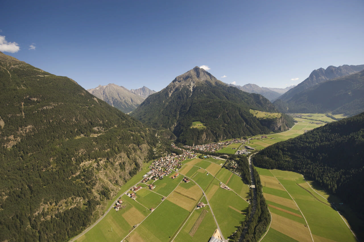
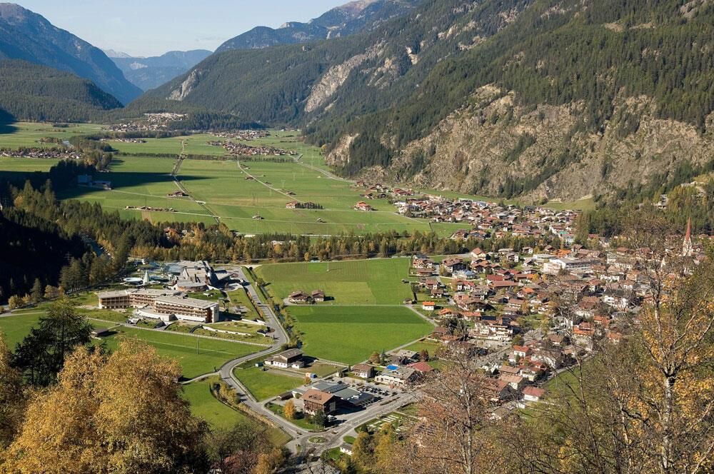
The route starts at the Sportzentrum Längenfeld, near the AQUA DOME. After crossing the Fischbach, follow the signage along the valley floor over beautiful meadow paths southward to the hamlet of Huben....
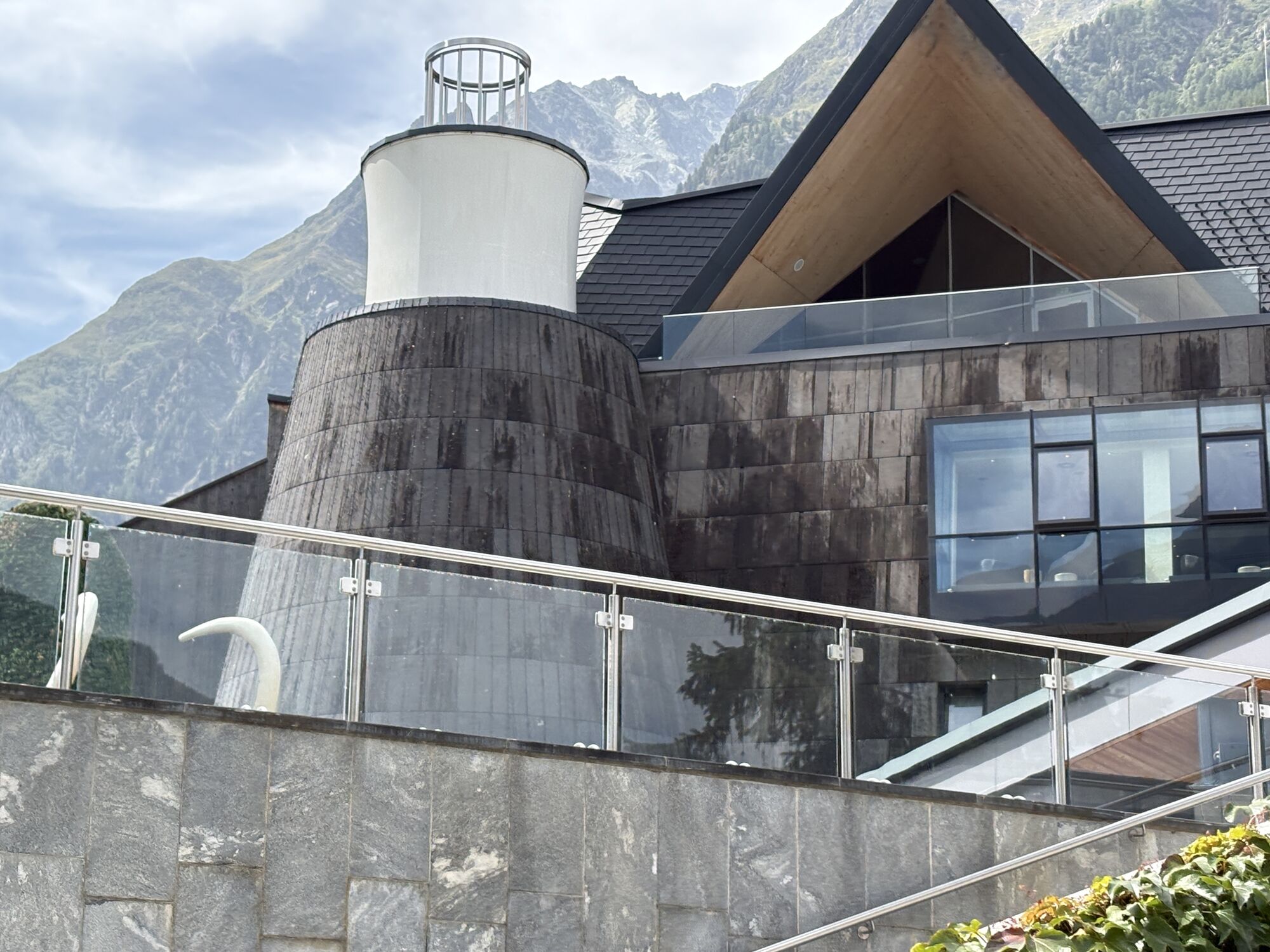
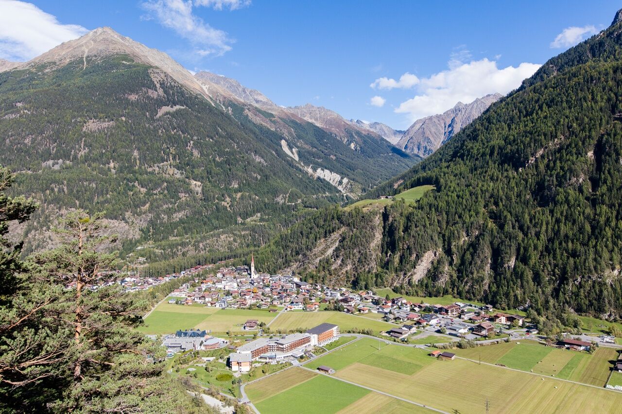
The route starts at the Sportzentrum Längenfeld, near the AQUA DOME. After crossing the Fischbach, follow the signage along the valley floor over beautiful meadow paths southward to the hamlet of Huben. There the loop turns and partly follows the Ötztaler Ache back towards the Aqua Dome, which is passed on its western side further north until you reach the hamlet of Oberried where the district heating plant is located. From there it goes back to the starting point. For the Thermal Run, this route of about 12km can be run once or twice as a half marathon. More info: www.thermenlauf.at

Tak
Trail running or running shoes, rain jacket, and provisions for a 12km run on the valley floor.
Please observe any path closures and be considerate of walkers and hikers. Especially in the summer months, these routes are quite frequented, but due to the good development and width of the paths, there is enough space for all athletes.
Arrival by car leads via the Inn Valley to the valley entrance and continues along the Ötztal. Besides the toll motorway, country roads can also be used. Once you arrive in Längenfeld, follow the signs after the first roundabout at the town entrance in the direction of the sports center or football field. The route planner allows you to quickly and conveniently determine your drive. To the route planner: https://www.google.at/maps
Travel comfortably and safely by train. The final stop or exit point is the ÖTZTAL train station. Afterwards, you can conveniently and quickly travel by public transport or local taxis to the middle of the valley in the municipality of Längenfeld. From the "Kirche" stop, follow the signs to the "Sportplatz," which is about 200 meters (10 min) from the bus stop. The current bus timetable is available at: http://fahrplan.vvt.at
Free parking is available directly at the starting point Sportzentrum.
The AQUA DOME Thermal Run takes place every June and is a very popular running event for young and old. All further info and registration at www.thermenlauf.at
After an intense running session, the warm water in the outdoor pools of the AQUA DOME provides wonderful muscle relaxation.
Kamery internetowe z trasy
Popularne wycieczki w okolicy
-
4,5
Winnebachsee Hut – Längenfeld/Gries
średniWędrówka 4,74 km -
4,2
Hike Stuibenfall - Umhausen
światłoWędrówka 2,95 km -
4,4
Stuibenfall Umhausen circular hike
światłoWędrówka 9,32 km -
4,7
Winter circular route Brandalm/Burgstein - Längenfeld 204
średniWędrówka zimą 5,44 km -
4,4
Rundwanderung Hängebrück3
światłoWędrówka 6,32 km -
4,3
Amberger Hut - Längenfeld/Gries
średniWędrówka 5,60 km -
4,6
Umhausen - Stuibenfall - Umhausen
średniWędrówka 7,94 km -
4,7
Circular hike Bergmahderweg - Niederthai
światłoWędrówka 7,60 km -
4,1
Hohe Geige über Gawinden und den Westgrat
ciężkiWędrówka 14,3 km -
5,0
Nissl Alm - Längenfeld/Gries
światłoWędrówka 5,17 km
Wędrówki i tropienie


Nie przegap ofert i inspiracji na następne wakacje
Twój adres e-mail została dodana do listy mailingowej.