







638 Feuerstein - Polles Alm
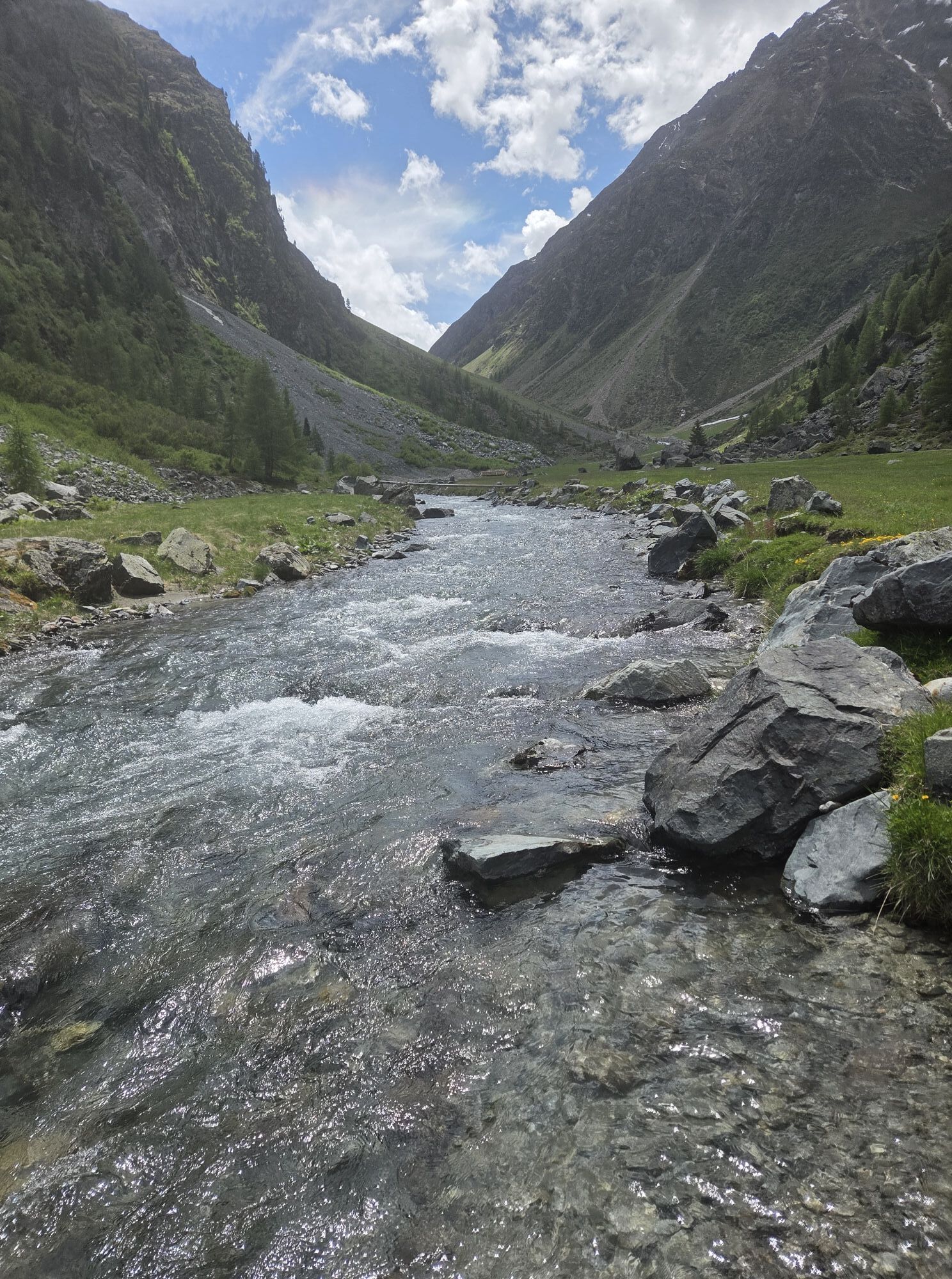
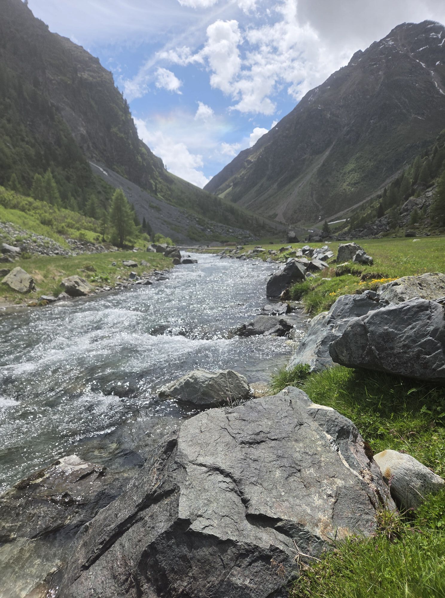
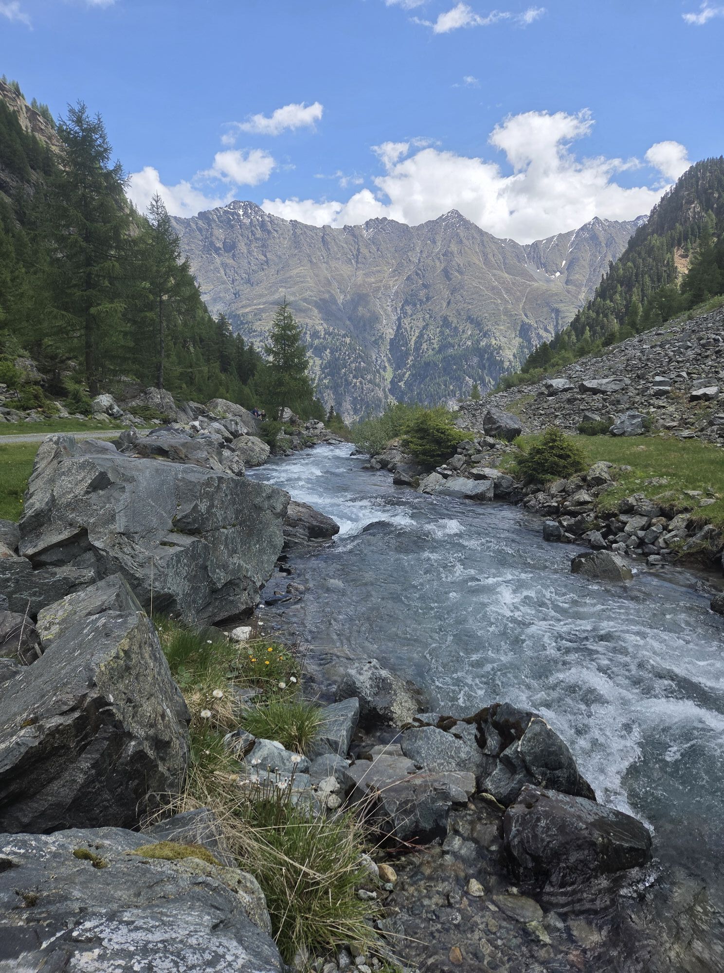
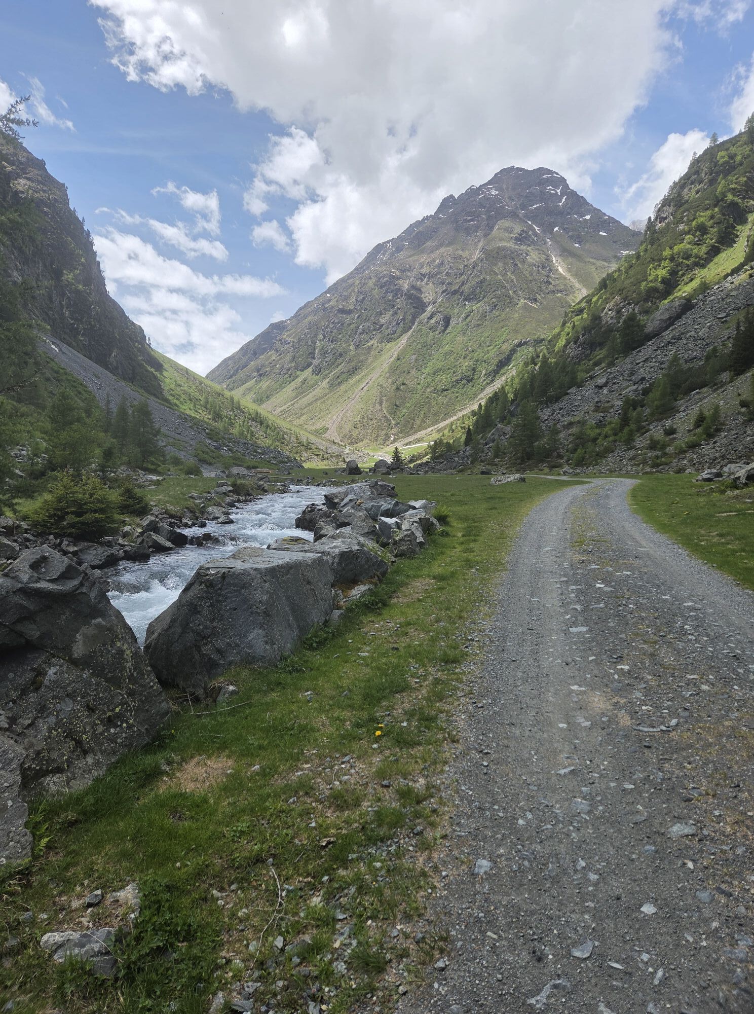
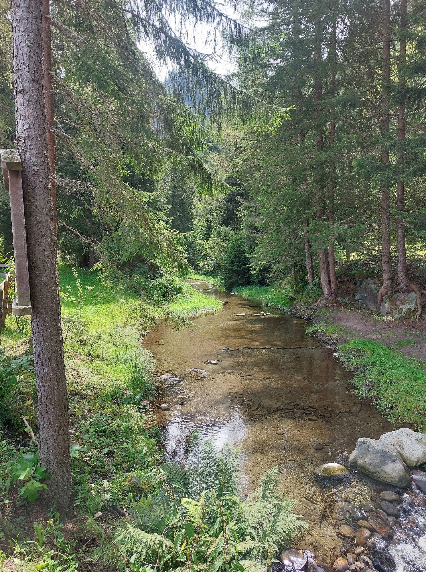
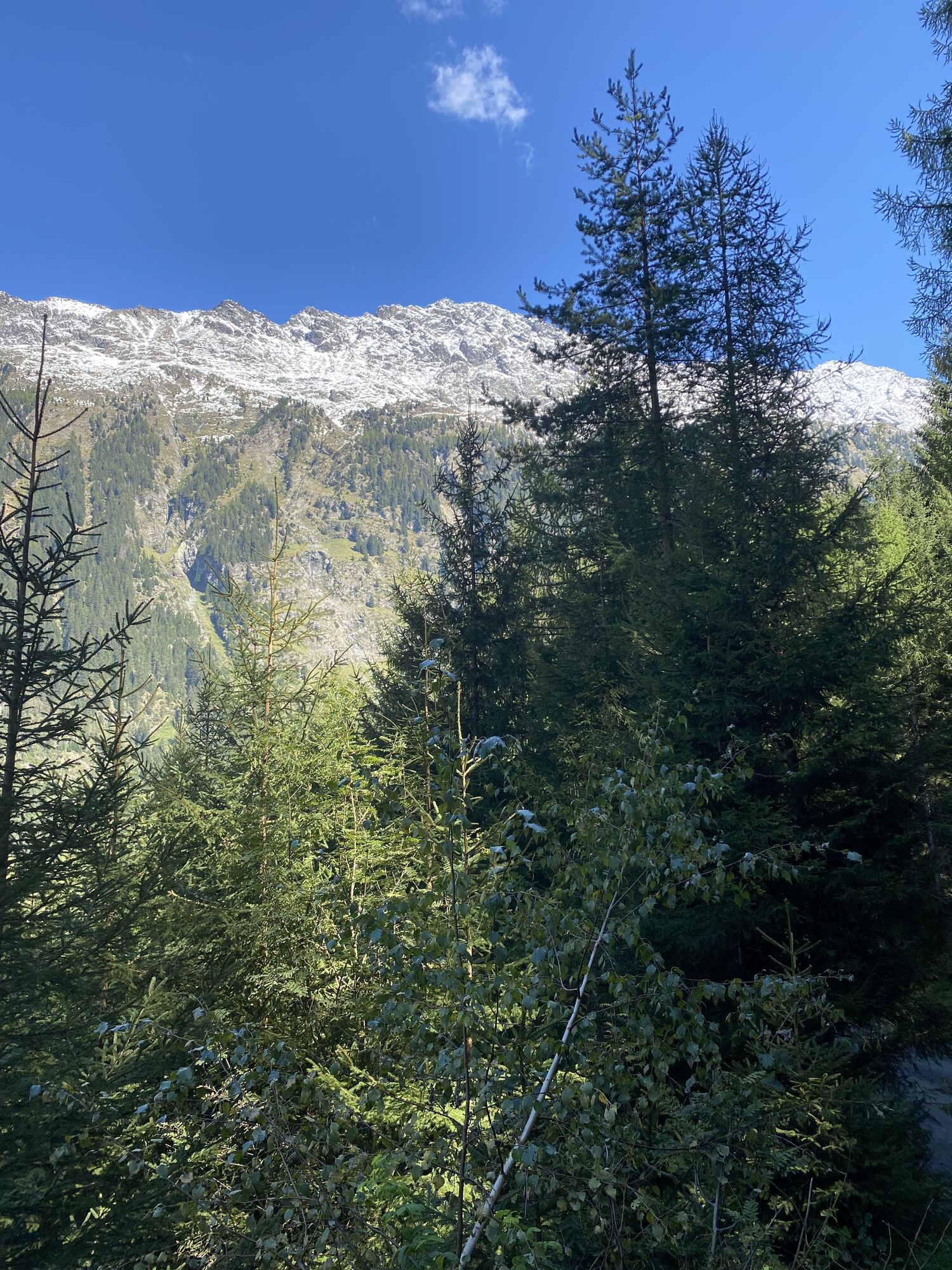
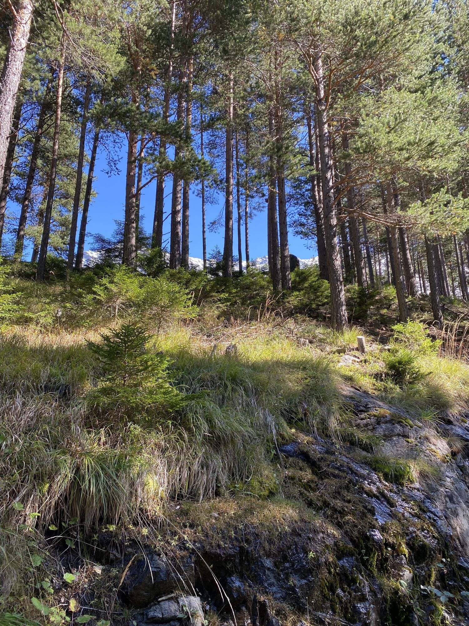
The starting point for this varied route is the Sportzentrum Längenfeld. From there, you ride toward the campsite and follow the Ötztal bike path (No. 11) downstream toward Huben. At the football field,...
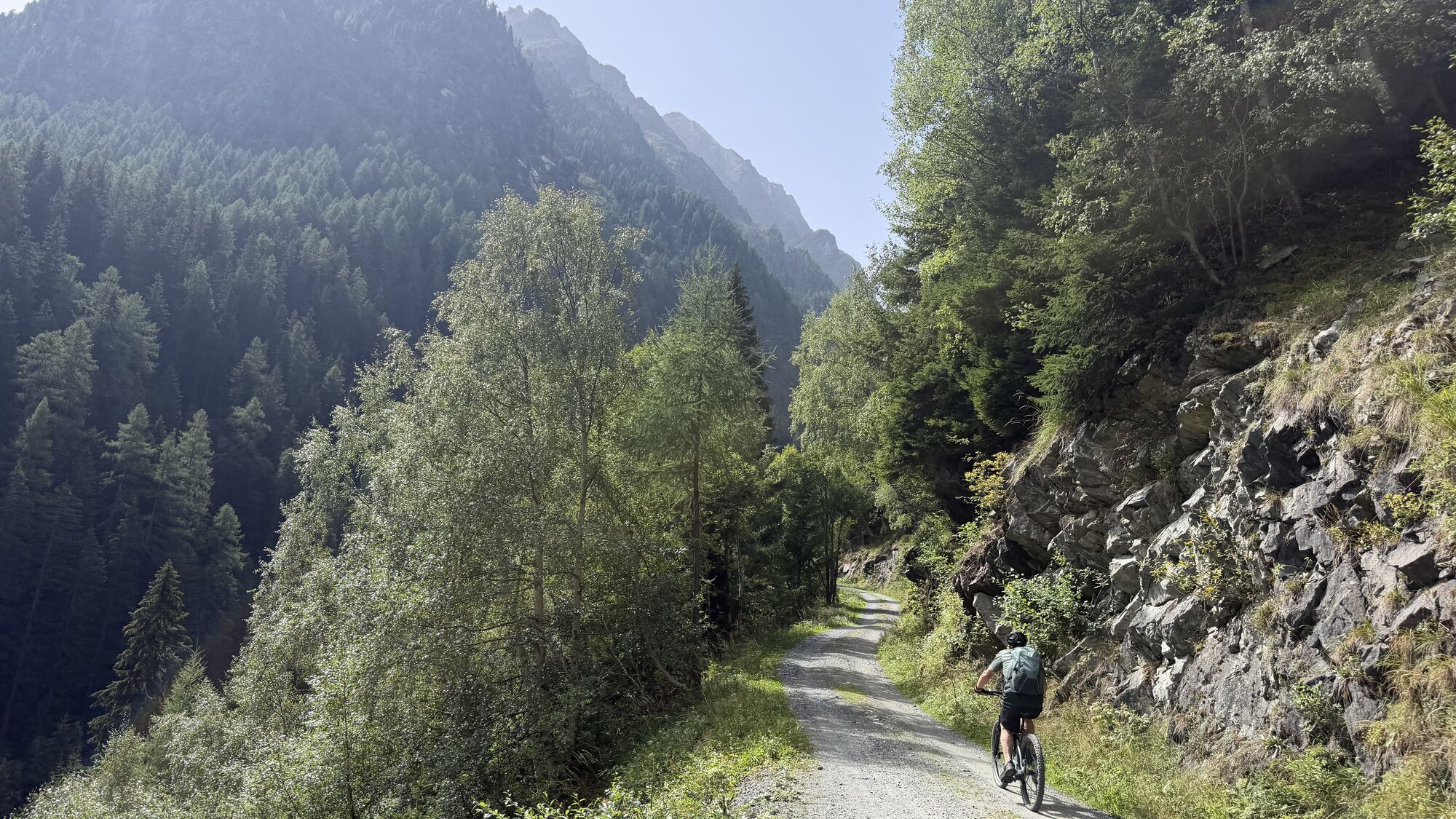
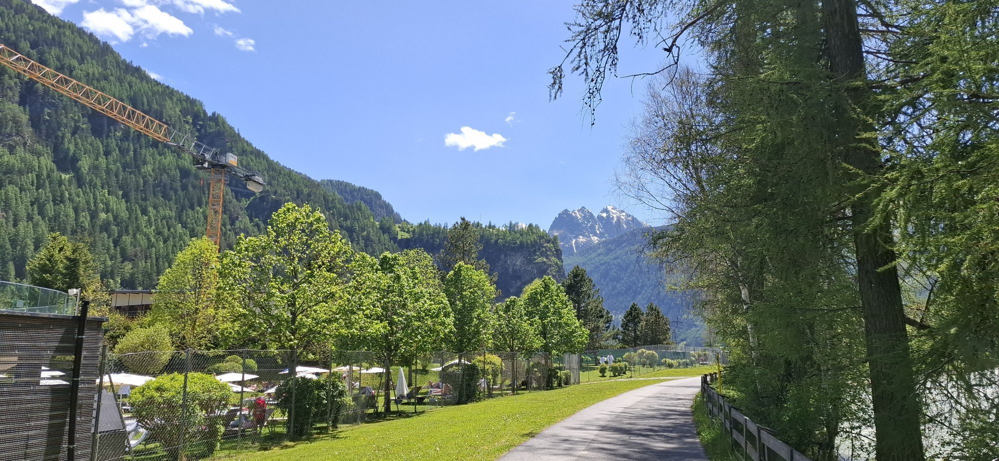
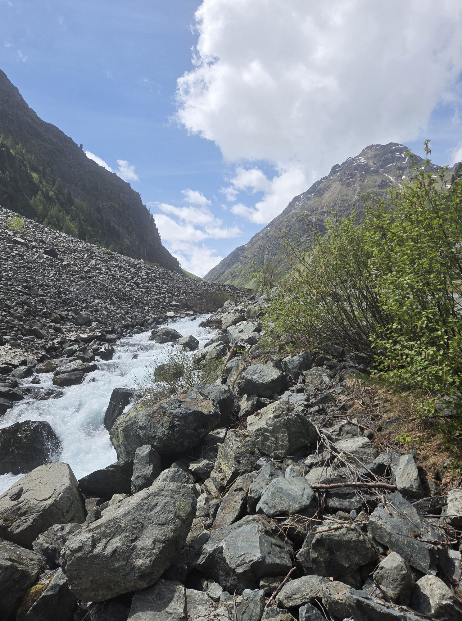
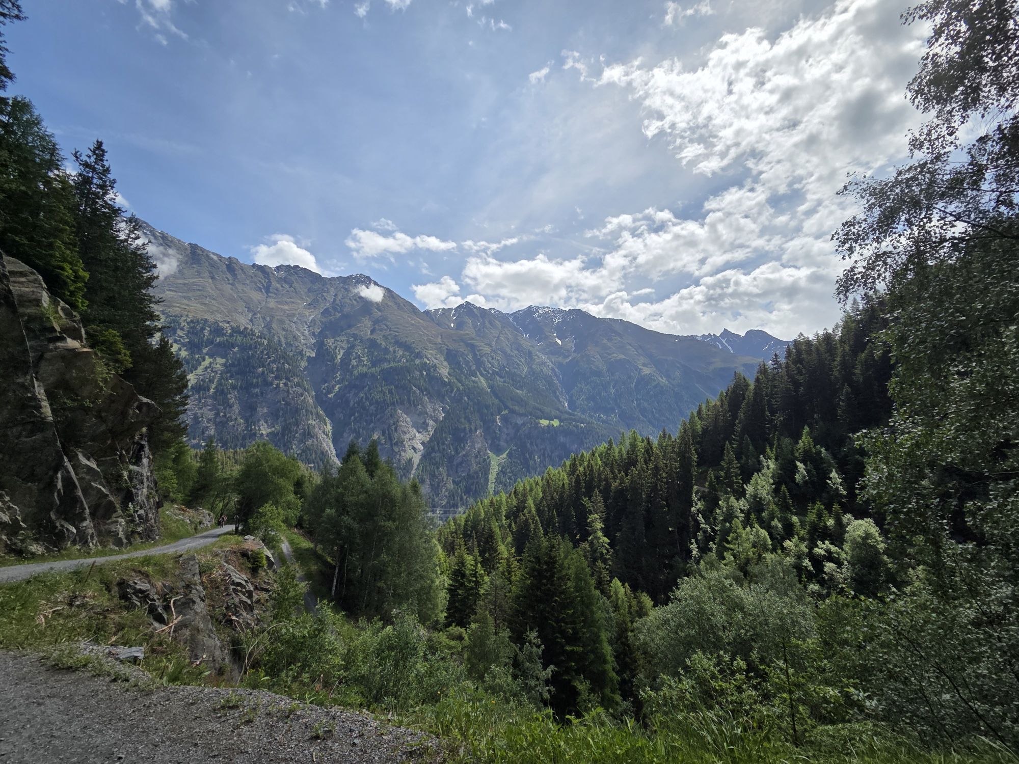
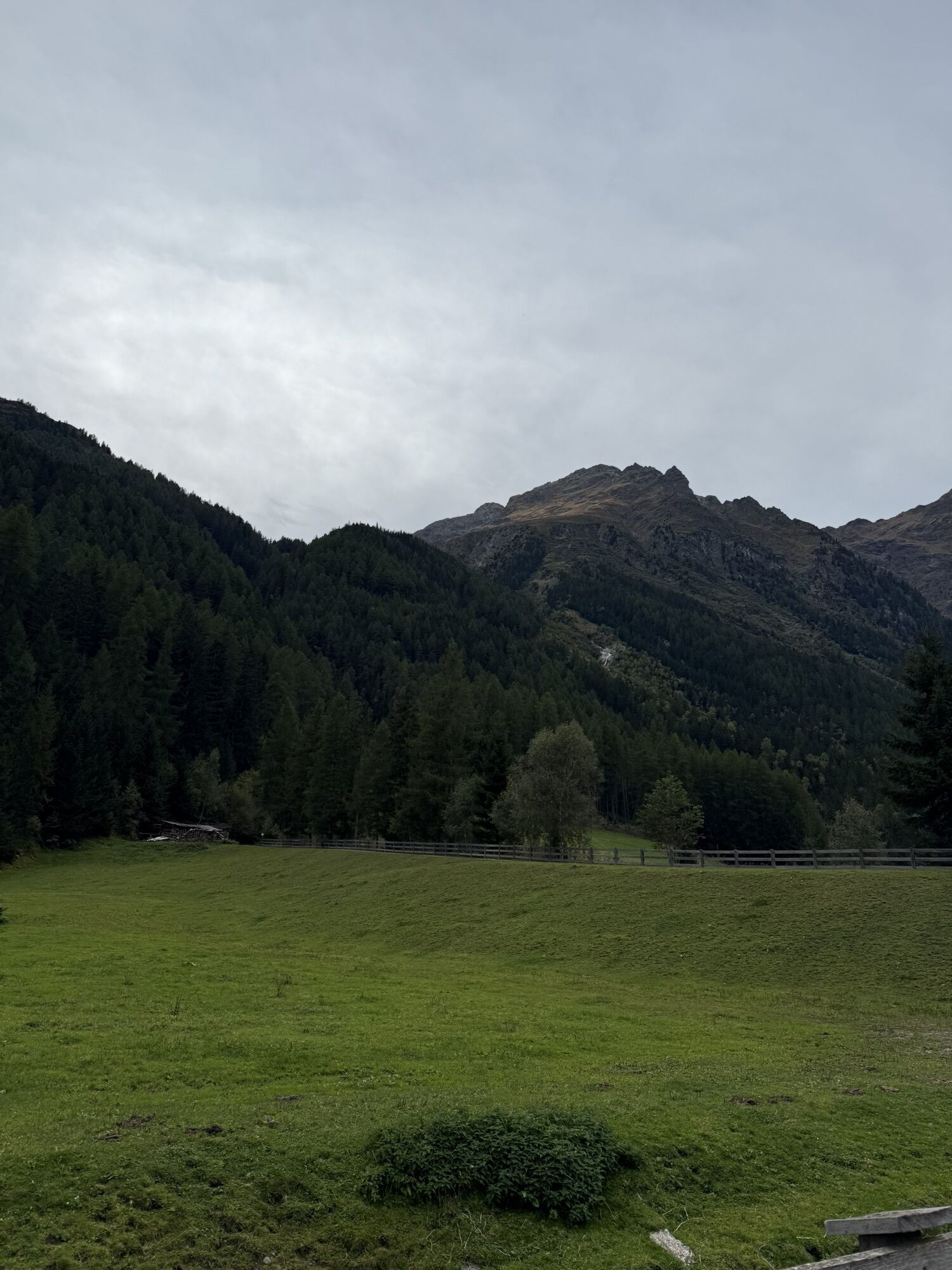
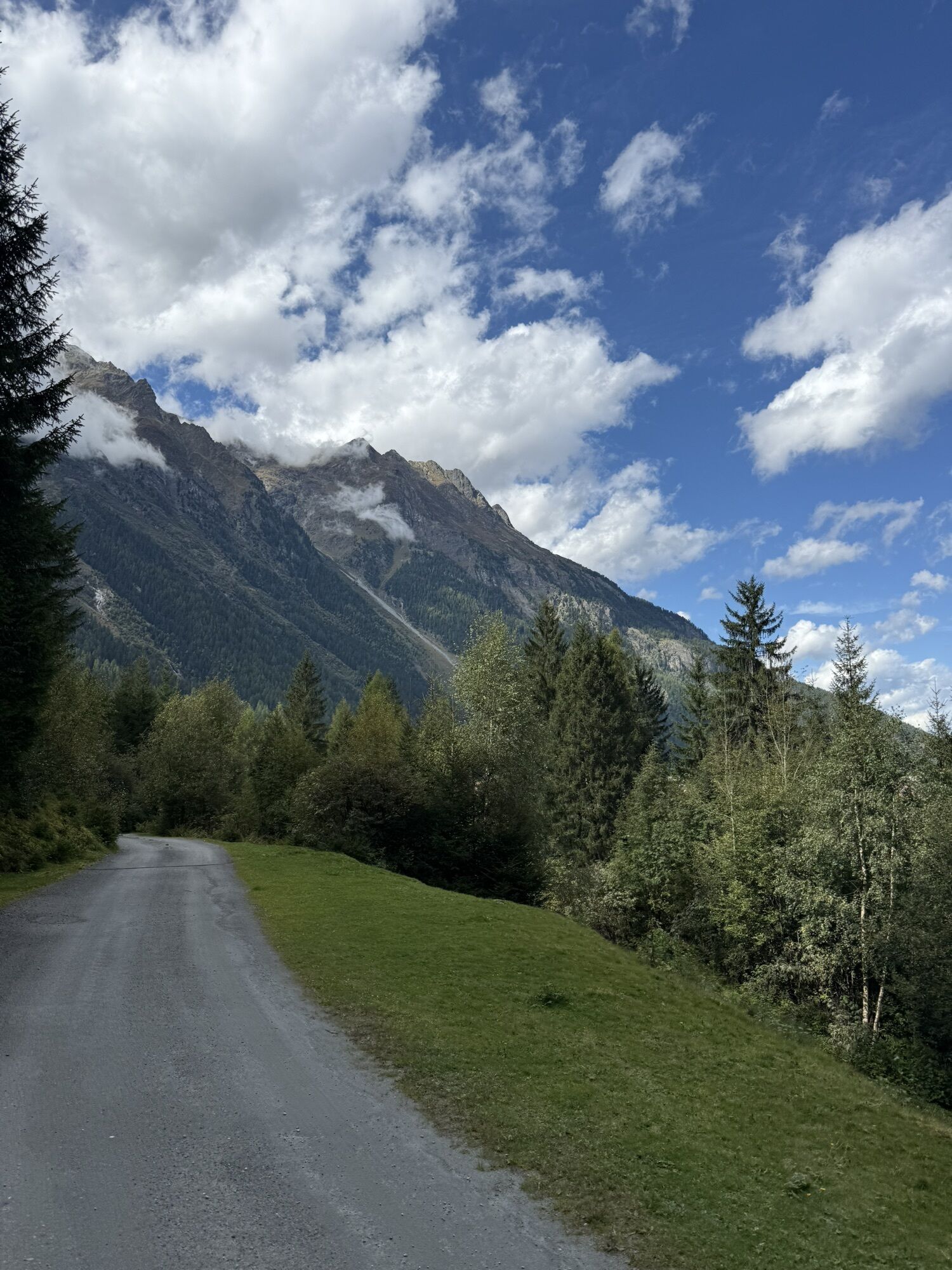
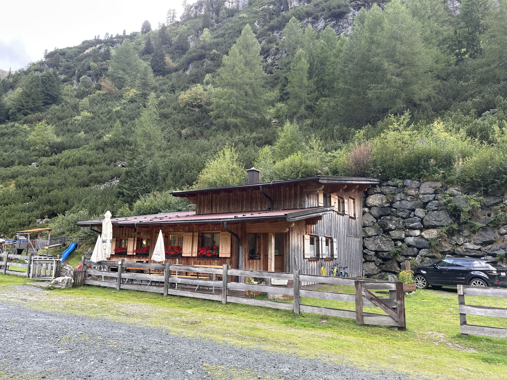
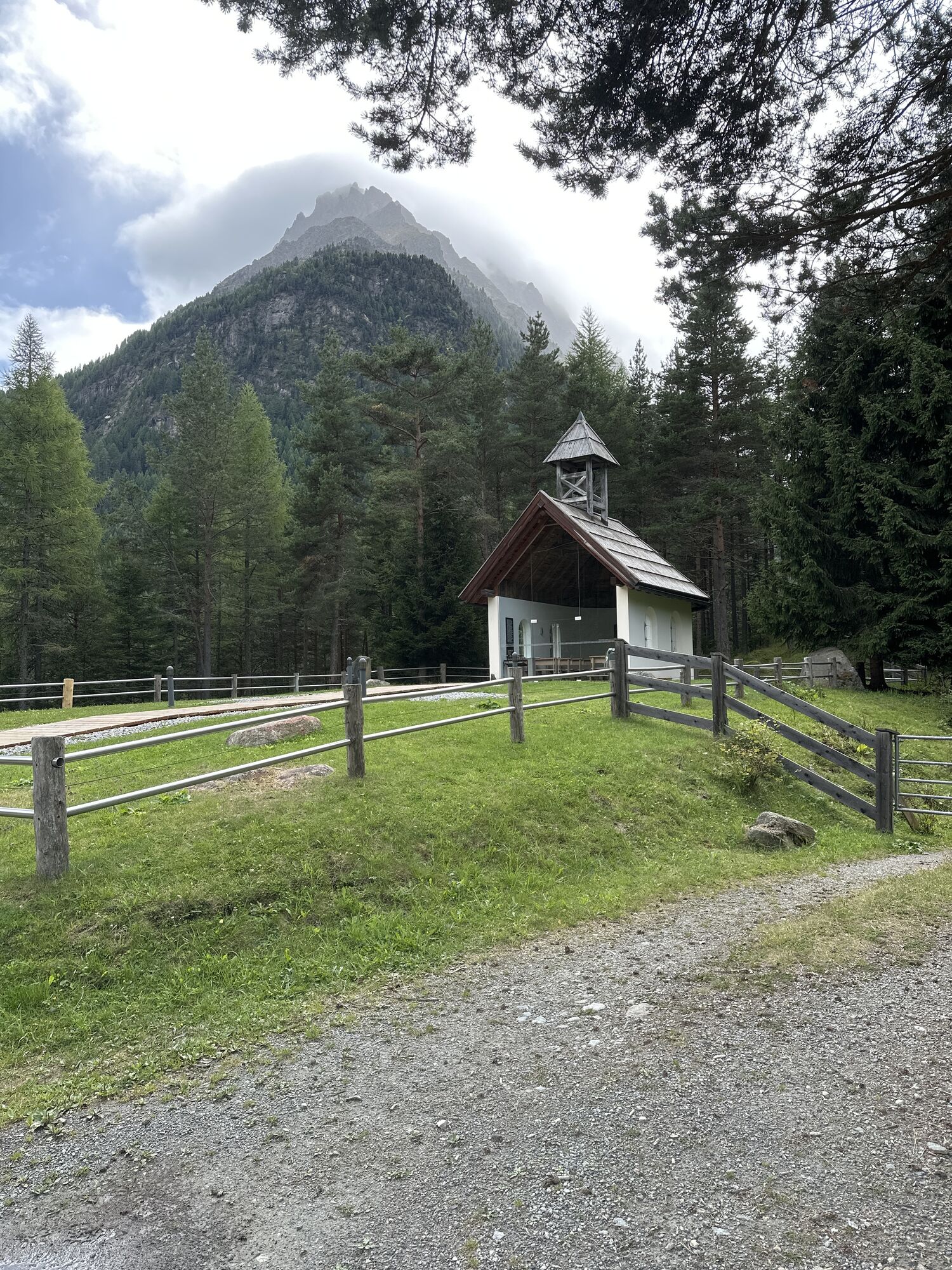
The starting point for this varied route is the Sportzentrum Längenfeld. From there, you ride toward the campsite and follow the Ötztal bike path (No. 11) downstream toward Huben. At the football field, turn right and follow the signs toward Feuerstein. Right from the start, it gets steep and challenging. After some effort, you reach a junction. Here you can take the left path for a detour to the Alpengasthof Feuerstein. To reach Polles Alm, however, follow the forest road that leads left from the small chapel. At the front Polles Alm, fresh, chilled beer is waiting for you. But the refreshment has to wait until the descent. Those who stay on the saddle for the following 3.5 km have conquered one of the steepest climbs in the region.

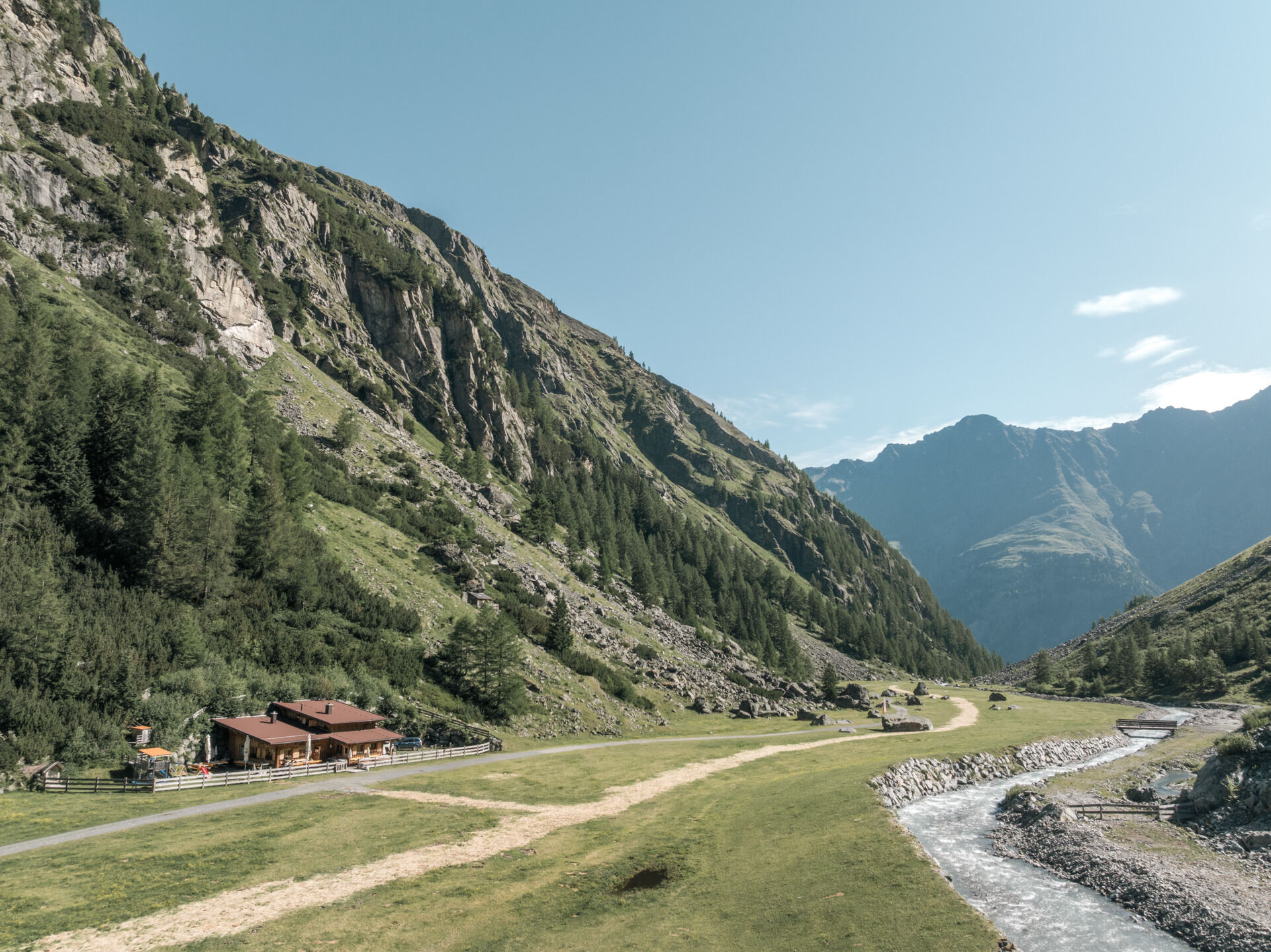
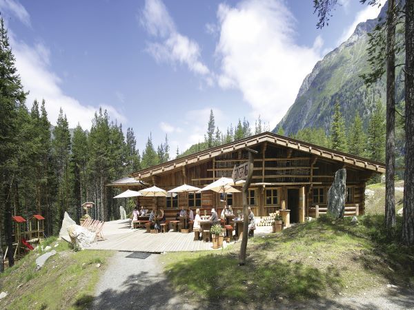
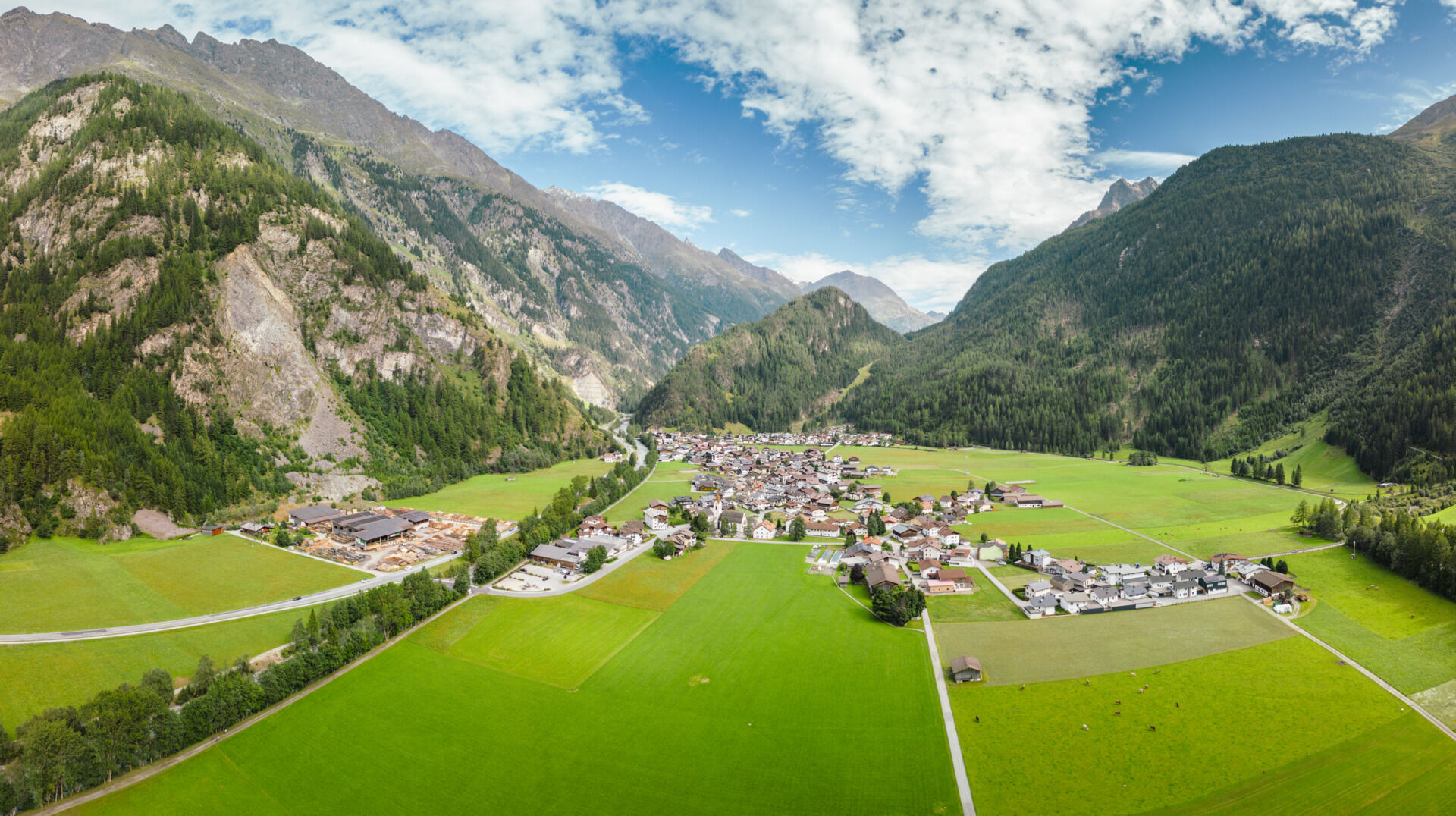
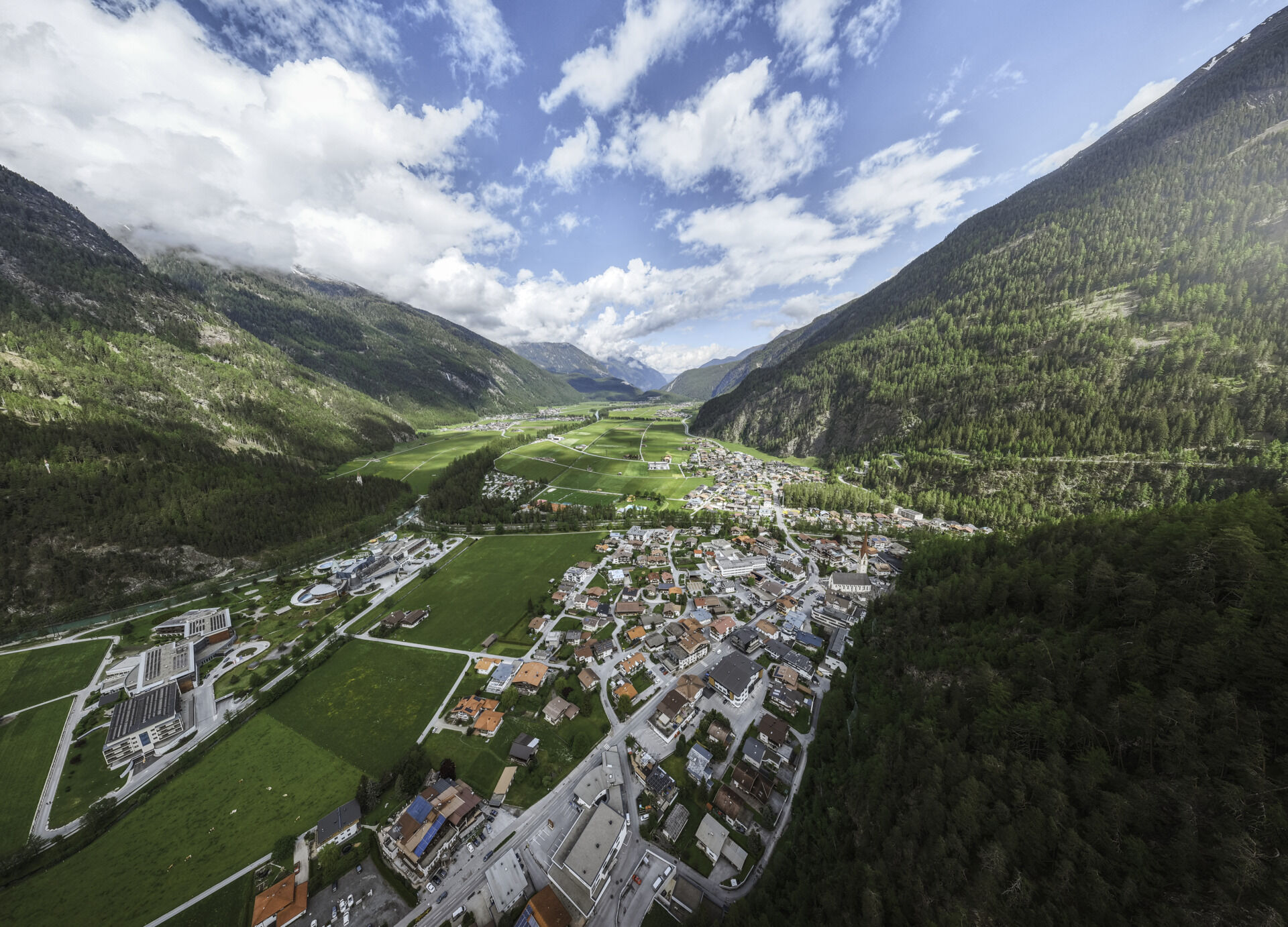

The Mountainbiketour to the Hintere Pollesalm is perfect for bikers who want to prove their climbing skills. Right from the start in Huben, it goes crisp steeply to the point. The gravel road quickly rises from the bottom of the valley towards the Alpengasthof Feuerstein. There the route describes a sharp bend and bends into the Pollestal. Without a breather, the height meters continue to rise before the bike. The temptation is great to give up at the inviting beer garden of the Vorderes Pollesalm. But the refreshment must wait until departure. If you stay in the saddle on the following 3.5 kilometers and 326 meters, you will have to overcome one of the steepest climbs in the region. Too bad the Hintere Pollesalm is not farmed on 2102 meters. Fortunately the return path is only a matter of minutes.
Tak
Appropriate equipment such as breathable clothing and weather-appropriate outdoor wear, bicycle helmet, gloves, sunglasses, and a GPS device or maps. On bike routes without places to stop for refreshments, sufficient provisions are necessary.
Sporty bike handling skills and defensive riding behavior are required due to the partly steep ascents and more difficult downhill sections, and the demands on stamina and riding technique are rated as moderate. The focus is on sporty, active (pleasure) cycling.
The car journey to the ÖTZTAL. Located in Tyrol, the ÖTZTAL branches southwards as the longest side valley of the Eastern Alps. Travelers by car reach the valley entrance via the Inn Valley and continue along the Ötztal. In addition to the toll motorway, country roads can also be used. Your trip can be quickly and conveniently planned with the route planner.
To the route planner: https://www.google.at/maps.
Travel comfortably and safely by train to the Ötztal station. The final stop or disembarking point is the ÖTZTAL station. Afterwards, you can travel conveniently and quickly with public transport or local taxi companies through the entire valley to your desired destination! The current bus schedule is available at: fahrplan.vvt.at
The following parking options are available in Längenfeld:
Sportzentrum Längenfeld, free of chargeMore information about biking and cycling in the Ötztal: https://www.oetztal.com/biken
This route follows developed paths and is easily accessible with a motorized e-mountain bike or a classic mountain bike without drive.
Kamery internetowe z trasy
Uzyskaj wgląd
Zawsze na żywo z ponad 9 500 kamer internetowych. bergfex Jako użytkownik Pro, możesz teraz zobaczyć odpowiednie kamery internetowe dla wielu wycieczek w aplikacji wycieczki od. Pozwala to na bezpośredni podgląd aktualnych warunków.
Popularne wycieczki w okolicy
-
4,7
Winnebachsee Hut – Längenfeld/Gries
średniWędrówka 4,74 km -
4,7
Winter circular route Brandalm/Burgstein - Längenfeld 204
średniWędrówka zimą 5,44 km -
4,4
Hike Stuibenfall - Umhausen
światłoWędrówka 2,95 km -
4,3
Stuibenfall Umhausen circular hike
światłoWędrówka 9,32 km -
4,4
Rundwanderung Hängebrück3
światłoWędrówka 6,32 km -
4,3
Amberger Hut - Längenfeld/Gries
średniWędrówka 5,60 km -
3,5
Tiefenbachglacier - Mountaineering Village Vent
średniWędrówka 10,8 km -
4,3
Hohe Geige über Gawinden und den Westgrat
ciężkiWędrówka 14,3 km -
4,2
Umhausen - Stuibenfall - Umhausen
średniWędrówka 7,94 km -
4,6
Circular hike Bergmahderweg - Niederthai
światłoWędrówka 7,60 km

Wędrówki i tropienie


Nie przegap ofert i inspiracji na następne wakacje
Twój adres e-mail została dodana do listy mailingowej.





