


6049 Adlerblickrunde
The start is at the sports field in Längenfeld. From there, you ride towards the federal road, but turn left beforehand and cycle past the houses to the roundabout. Here you take the second exit and follow...
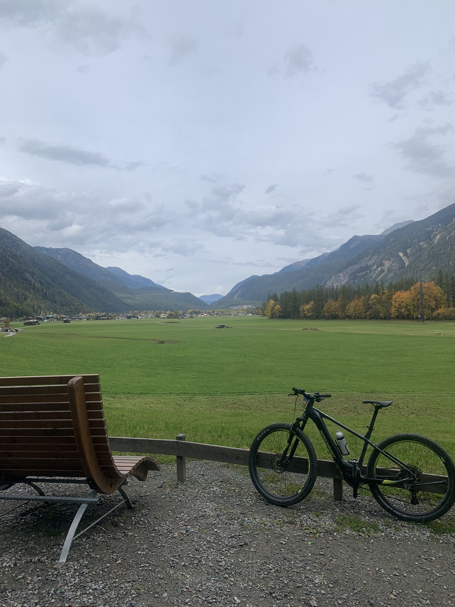
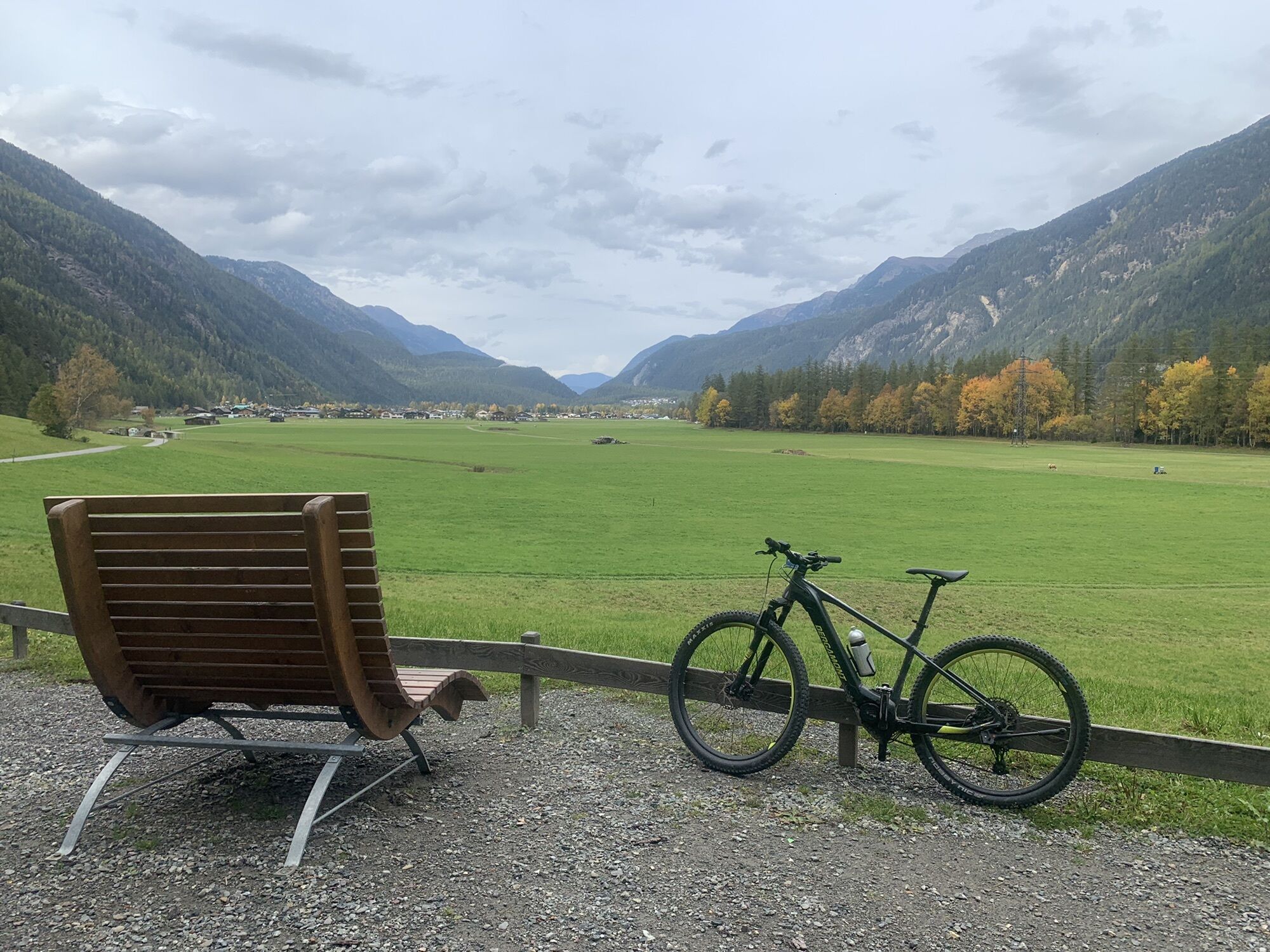
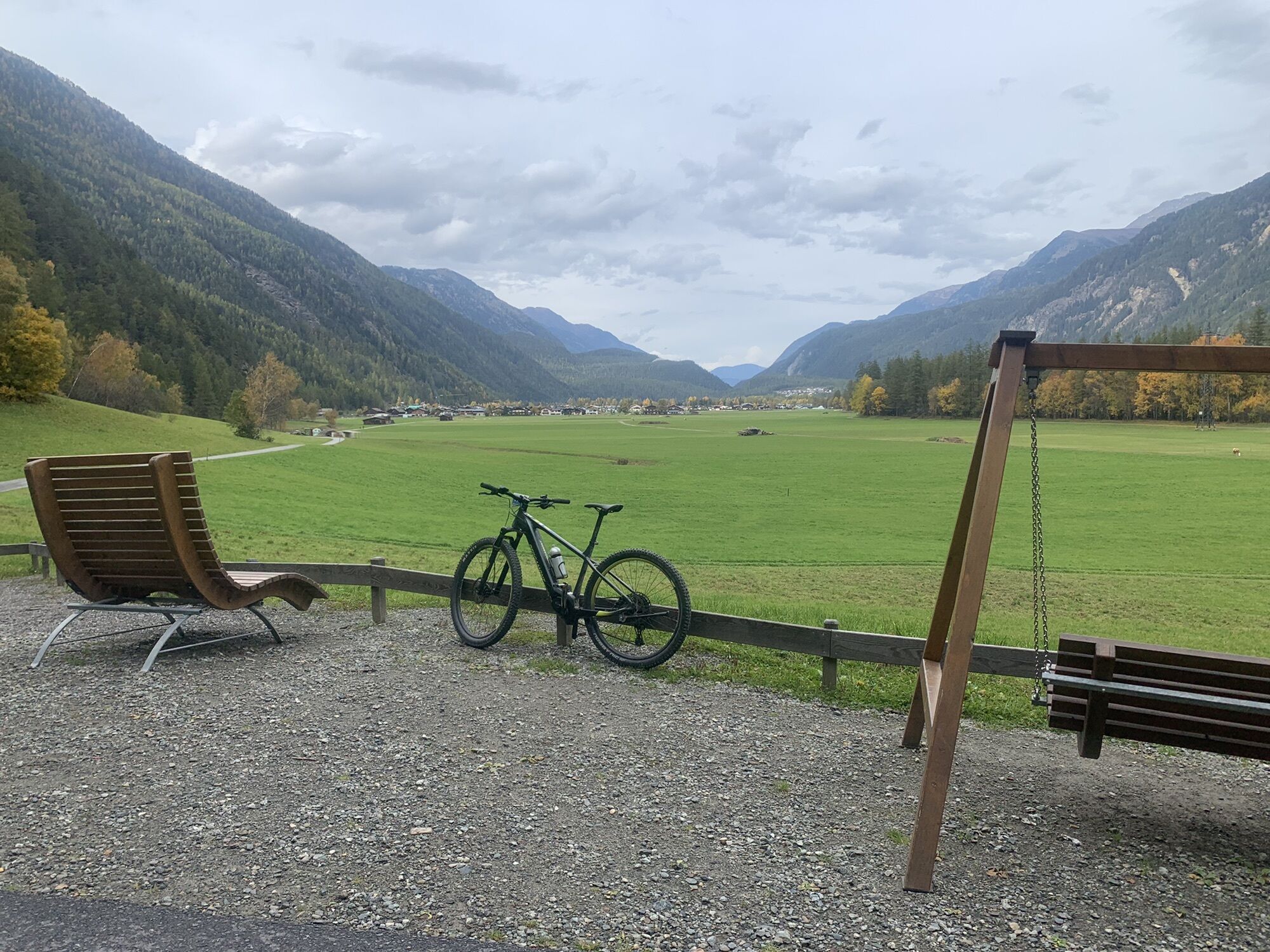
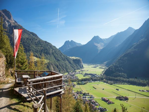
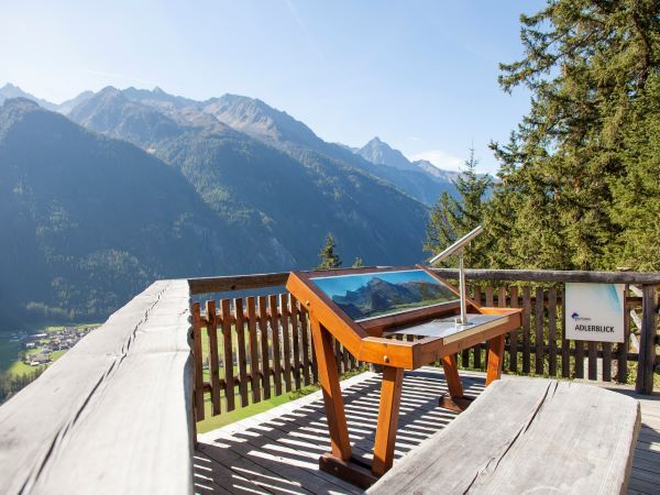
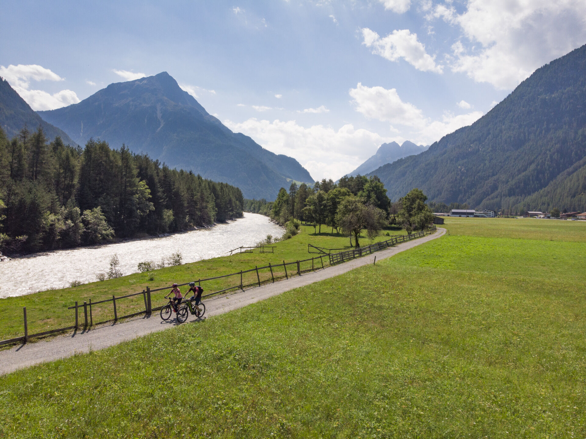
The start is at the sports field in Längenfeld. From there, you ride towards the federal road, but turn left beforehand and cycle past the houses to the roundabout. Here you take the second exit and follow the paved state road towards Gries. After some curves, a forest path branches off to the left. You follow the forest path through the woods and eventually reach the Adlerblick viewing platform. Here you enjoy the view of Längenfeld, as well as the mountain scenery around Längenfeld. After a short break, continue the route and ride down the forest path. After reaching the valley floor, you continue on the forest path to the village of Au. At the pedestrian crossing, you must cross the federal road and continue until you reach the Ötztaler Radweg (No. 11). You then follow the paved bike path back to Längenfeld, the starting point.

Appropriate equipment such as breathable clothing and weather-appropriate outdoor clothing, bicycle helmet, gloves, sunglasses, and a GPS device or maps. For bike rides without refreshment options, sufficient provisions are necessary.
Sporty bike handling and defensive riding behavior are required due to the partially steep ascents and more difficult downhill sections, and the demands on fitness and riding technique are to be classified as medium. The focus is on sporty, active (pleasure) cycling.
Car ride to the ÖTZTAL. Located in Tyrol, the Ötztal branches off to the south as the longest side valley of the Eastern Alps. Traveling by car, visitors drive through the Inn Valley to the valley entrance and continue along the Ötztal. In addition to the toll motorway, country roads can also be used. With the route planner, your trip can be quickly and conveniently determined.
To the route planner: https://www.google.at/maps.
Travel comfortably and safely by train to the Ötztal train station. The final stop or exit point is ÖTZTAL station. Afterwards, you can easily and quickly travel by public bus or local taxi services through the entire valley to your desired destination! The current bus schedule is available at: fahrplan.vvt.at
The following parking options are available in Längenfeld:
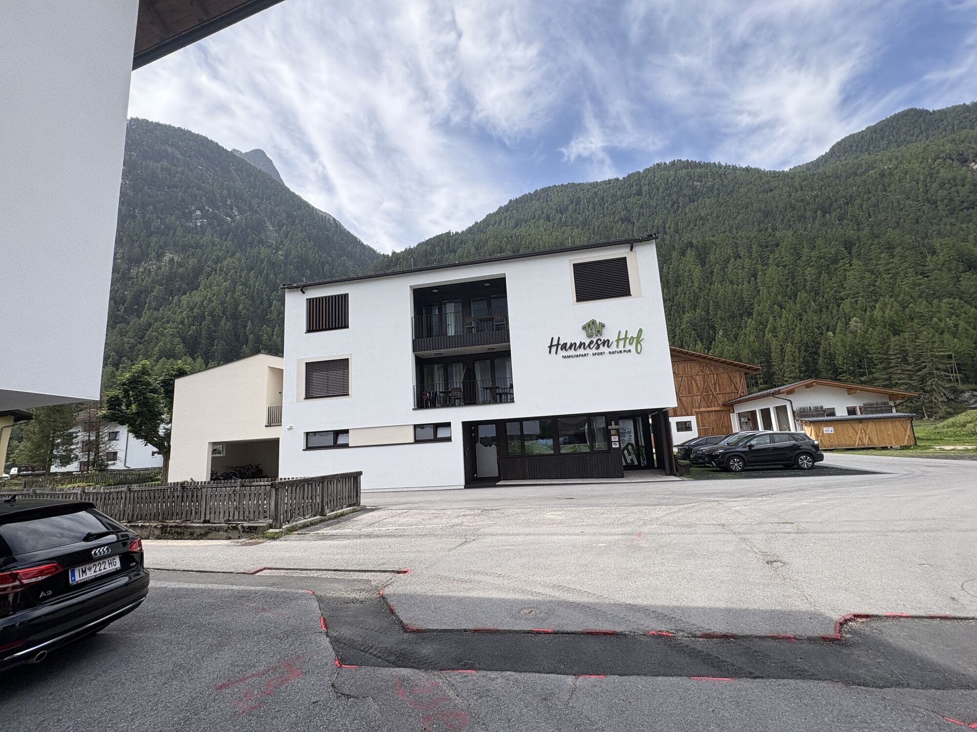
Sportzentrum Längenfeld, free of chargeThis route follows developed paths and can be easily ridden with a motorized e-mountain bike or a classic mountain bike without motor.
Kamery internetowe z trasy
-
Niederthai im Ötztal
-
Niederthai - Alpin Appart
-
Skilift Gries im Ötztal
-
Therme Längenfeld
-
Therme Längenfeld
-
Therme Längenfeld
-
Therme Längenfeld
-
Längenfeld im Ötztal
-
Gries - Längenfeld
-
Umhausen - der Veitenhof
-
Stuibenfall
-
Stuibenfall
-
Stuibenfall
-
Stuibenfall
-
Stuibenfall
-
Umhausen / Hotel Tauferberg
-
Umhausen / Hotel Tauferberg
-
Umhausen / Hotel Tauferberg
-
Umhausen / Hotel Tauferberg
-
Umhausen / Hotel Tauferberg
-
Niederthai - Delano
-
Niederthai - Delano
-
Umhausen / Hotel Tauferberg
Popularne wycieczki w okolicy
-
4,5
Winnebachsee Hut – Längenfeld/Gries
średniWędrówka 4,74 km -
4,4
Stuibenfall Umhausen circular hike
światłoWędrówka 9,32 km -
4,2
Hike Stuibenfall - Umhausen
światłoWędrówka 2,95 km -
4,3
Lampsenspitze, Sellrain, Tirol
średniWycieczka narciarska 4,97 km -
4,3
Amberger Hut - Längenfeld/Gries
średniWędrówka 5,60 km -
4,5
Oetz - Piburger See - Oetz
średniWędrówka 7,16 km -
4,7
Winter circular route Brandalm/Burgstein - Längenfeld 204
średniWędrówka zimą 5,44 km -
4,4
Rundwanderung Hängebrück3
światłoWędrówka 6,32 km -
4,7
Circular hike Bergmahderweg - Niederthai
światłoWędrówka 7,60 km -
4,1
Hohe Geige über Gawinden und den Westgrat
ciężkiWędrówka 14,3 km

Wędrówki i tropienie


Nie przegap ofert i inspiracji na następne wakacje
Twój adres e-mail została dodana do listy mailingowej.