







Reinhard Schiestl via ferrata | Längenfeld
Poziom trudności: D
The Reinhard Schiestl via ferrata at Burgsteiner Wall is the most difficult via ferrata in the Ötztal. It leads over an almost vertical granite wall over 200 m high, secured continuously with steel cables,...
The Reinhard Schiestl via ferrata at Burgsteiner Wall is the most difficult via ferrata in the Ötztal. It leads over an almost vertical granite wall over 200 m high, secured continuously with steel cables, brackets, and footholds. There are sufficient footholds and 3 resting places. At the exit near the mountain meadows of Burgstein, a magnificent panoramic view opens up over the Stubai and Ötztal Alps.
Climbing length and time required
200 vertical meters and 300 m rope length. 1.5 - 2 hours, with descent approx. 2.5 - 3 hours.
Further details on the via ferrata / www.climbers-paradise.com

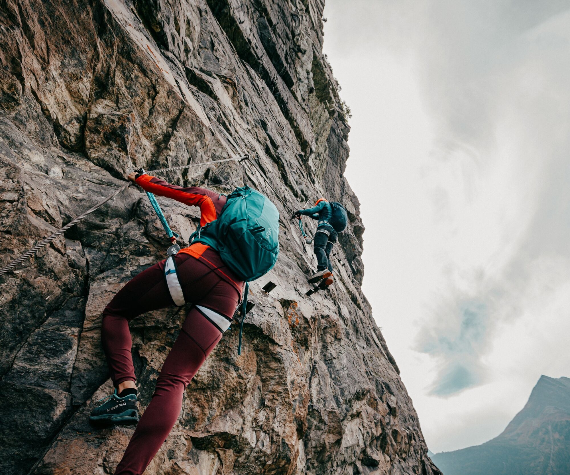
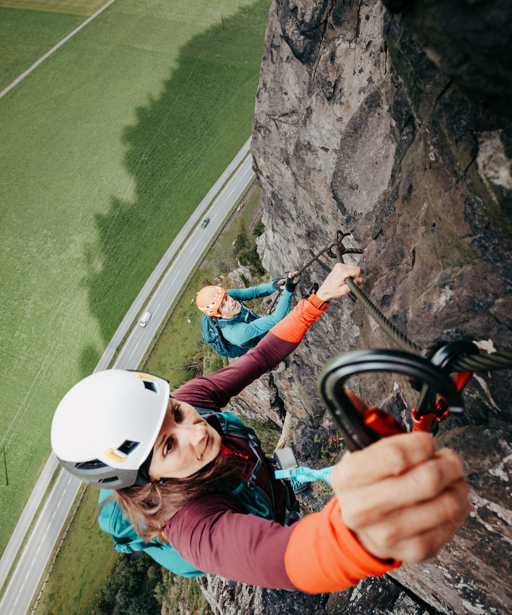
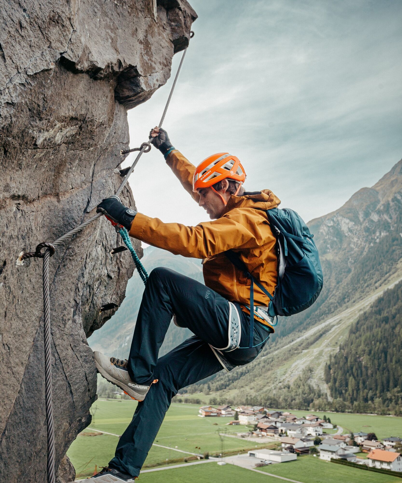
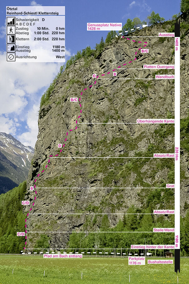

At the beginning, a steep entry wall with a small overhang C/D, then continuously B/C with partly steep wall sections, over a traverse B and a steep section D to the exit. Three resting places to recover and gather strength.
Descent
Signposted descent path to Längenfeld, from there back towards Astlehn, walking time approx. 45 minutes. The access to the village Burgstein is also possible by car.
Depending on the climbing route, appropriate equipment such as breathable and weather-appropriate outdoor clothing, helmet, climbing harness with via ferrata set, via ferrata gloves, and suitable footwear is required.
SAFETY ON THE VIA FERRATA
The Austrian Alpine Club has formulated 10 recommendations for climbing via ferratas to increase safety:
Plan carefully
Adapt the goal to your personal abilities
Use complete, standards-compliant equipment
Do not start in case of thunderstorm danger
Check steel cables and anchors critically
Partner check at the start
Keep sufficient distances
Clear communication when overtaking
Beware of falling rocks
Respect nature and the environment
First Aid
Whether sport climbing or via ferrata route, you should always carry a first aid kit and a fully charged mobile phone with you!
Emergency numbers
140 – Mountain rescue – alpine emergency call
112 – European emergency number (works with any mobile phone and in any available network)
Arrival by car leads travelers through the Inn Valley to the entrance of the valley and further along the Ötztal. In addition to the toll motorway, country roads can also be used. With the route planner, your trip can be determined quickly and conveniently. To the route planner: https://www.google.at/maps
Travel comfortably and safely by train to the Ötztal station. The final stop or exit point is the ÖTZTAL train station. Afterwards, you can conveniently and quickly travel with the public bus service or local taxi companies through the entire valley to your desired destination! The current bus schedule is available at: http://fahrplan.vvt.at
In Längenfeld, district Astlehn, the following parking options are available:
- Astlehn parking lot; free of charge
Please do not park along the road to Astlehn.
D
More information about climbing in the Ötztal can be found here.
Kamery internetowe z trasy
Uzyskaj wgląd
Zawsze na żywo z ponad 9 500 kamer internetowych. bergfex Jako użytkownik Pro, możesz teraz zobaczyć odpowiednie kamery internetowe dla wielu wycieczek w aplikacji wycieczki od. Pozwala to na bezpośredni podgląd aktualnych warunków.
Popularne wycieczki w okolicy
-
4,7
Winnebachsee Hut – Längenfeld/Gries
średniWędrówka 4,74 km -
4,7
Winter circular route Brandalm/Burgstein - Längenfeld 204
średniWędrówka zimą 5,44 km -
4,4
Hike Stuibenfall - Umhausen
światłoWędrówka 2,95 km -
4,3
Stuibenfall Umhausen circular hike
światłoWędrówka 9,32 km -
4,4
Rundwanderung Hängebrück3
światłoWędrówka 6,32 km -
4,3
Amberger Hut - Längenfeld/Gries
średniWędrówka 5,60 km -
4,3
Hohe Geige über Gawinden und den Westgrat
ciężkiWędrówka 14,3 km -
4,2
Umhausen - Stuibenfall - Umhausen
średniWędrówka 7,94 km -
4,6
Circular hike Bergmahderweg - Niederthai
światłoWędrówka 7,60 km -
4,6
Falkaunsjoch / Kuglerte Seen
średniWędrówka 16,2 km
Wędrówki i tropienie


Nie przegap ofert i inspiracji na następne wakacje
Twój adres e-mail została dodana do listy mailingowej.





