


Ötztal Trek stage 20
Poziom trudności: T3


Route: trail Requirements: endurance, sure-footedness, no fear of heights Black mountain trail Difficulties: no special difficulties Equipment: normal hiking gear; sufficient provisions (Hauersee hut...
Route: trail
Requirements: endurance, sure-footedness, no fear of heights
Black mountain trail
Difficulties: no special difficulties
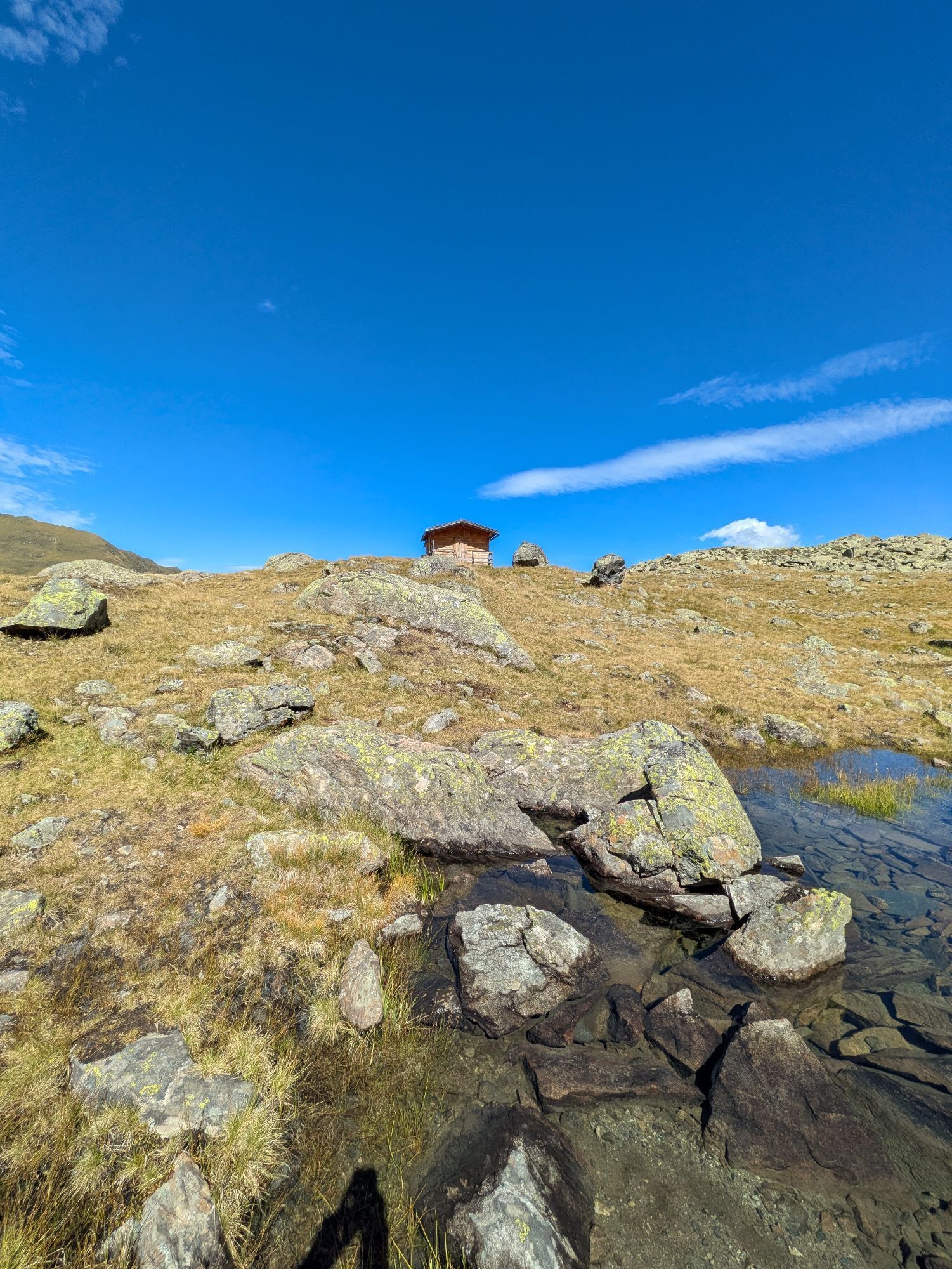
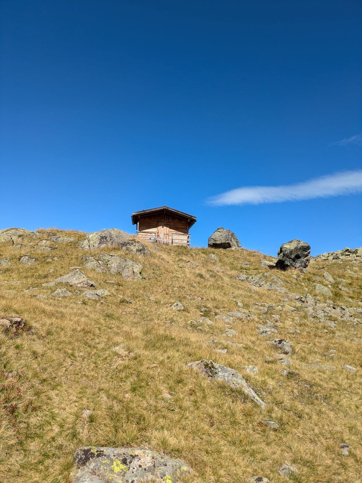
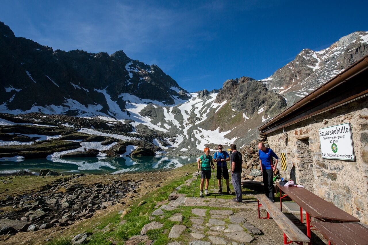
Equipment: normal hiking gear; sufficient provisions (Hauersee hut not serviced)
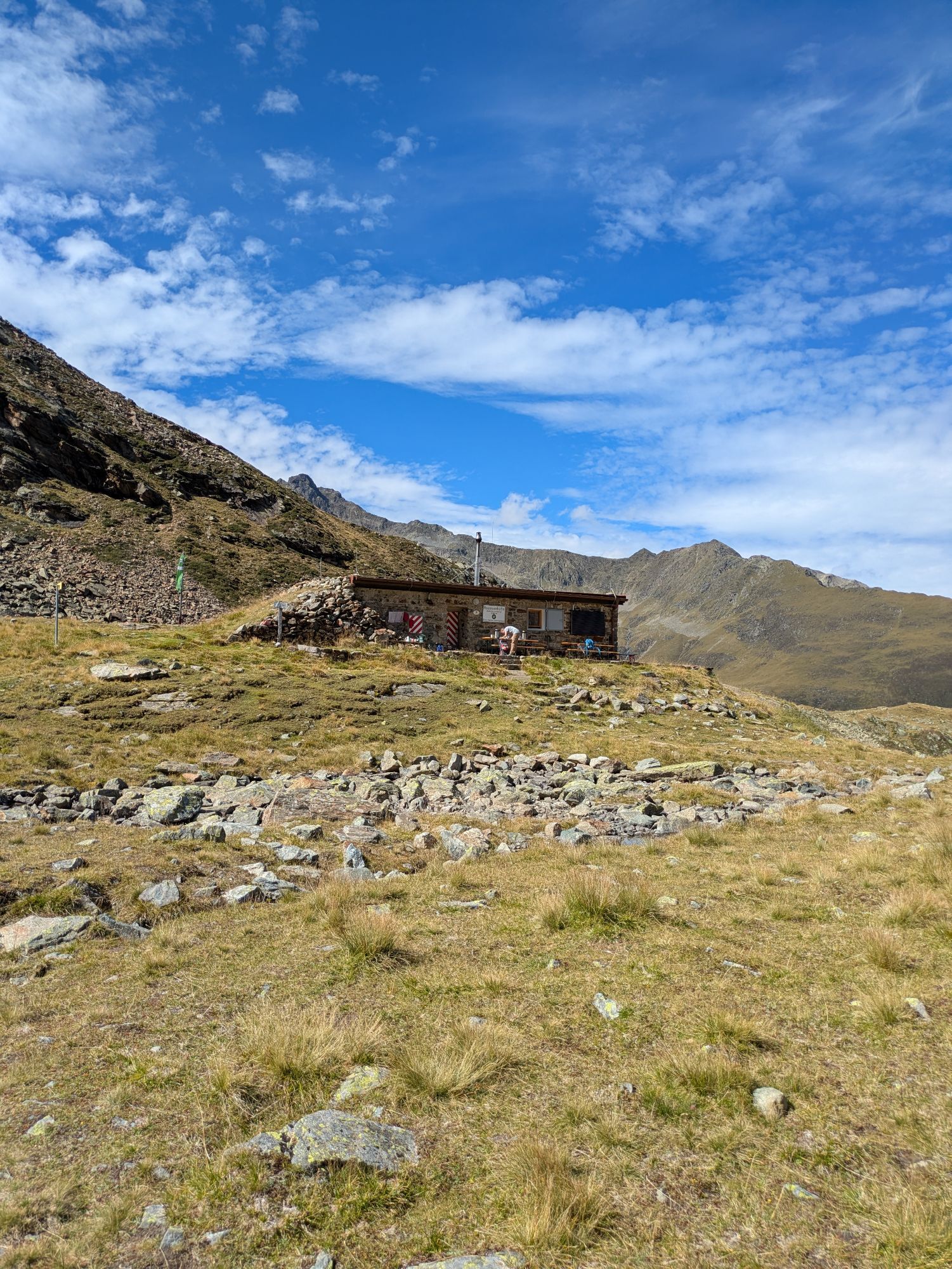
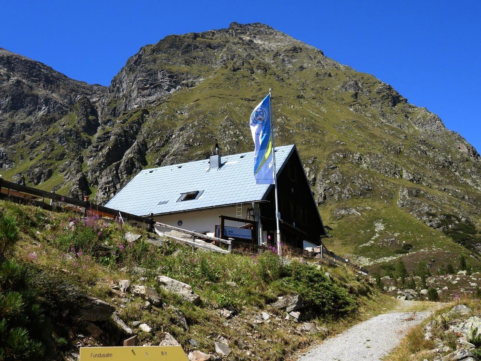
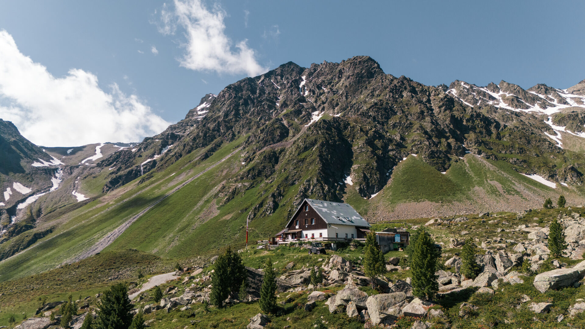
Overnight stay, meals: Hauersee hut (self-catering), Frischmann hut
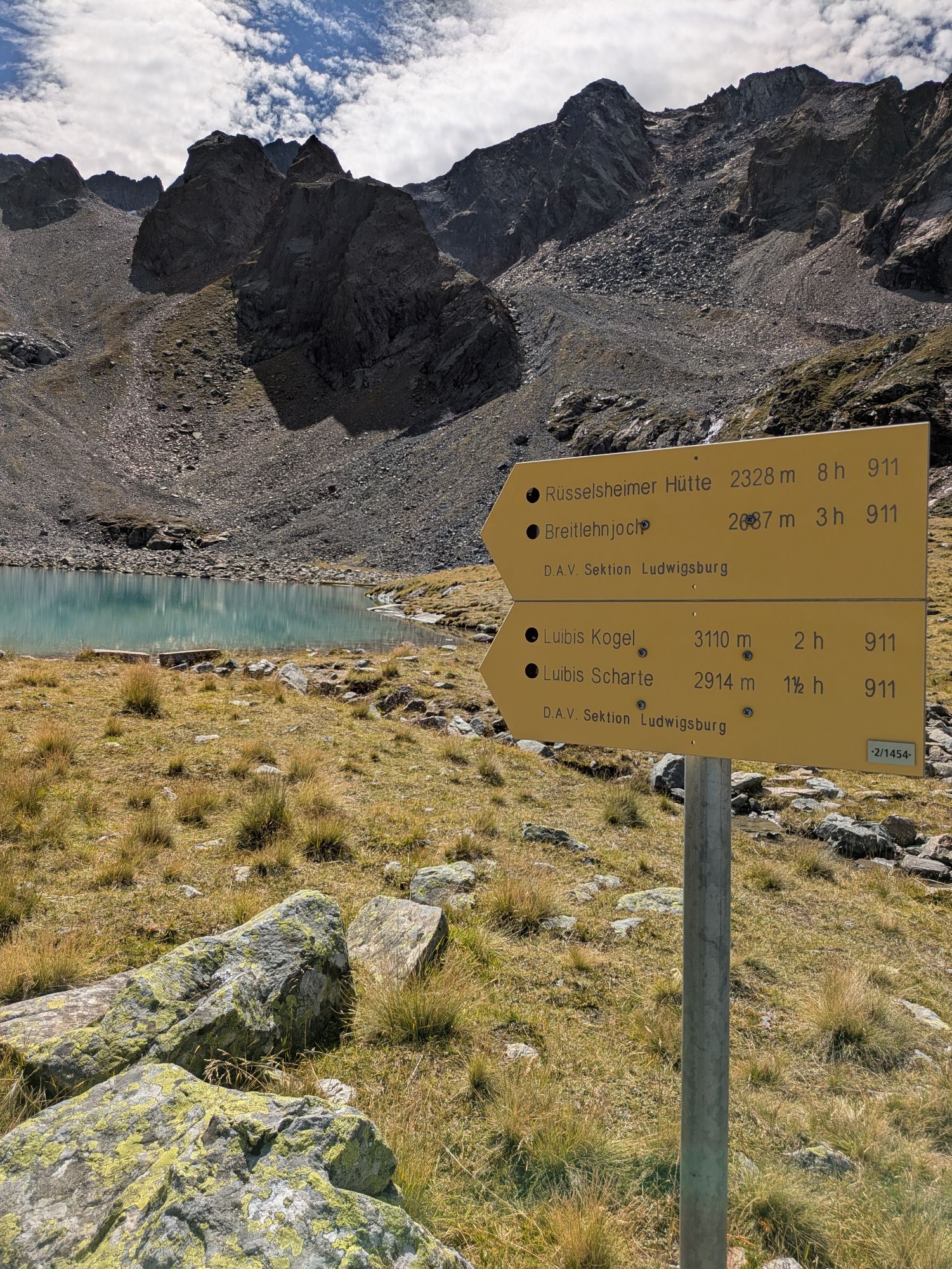
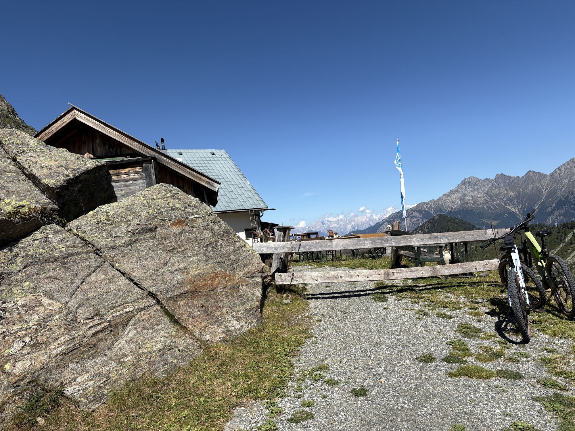
Entry and exit points: from Unterried or Oberried (municipality of Längenfeld) to Hauersee hut (each approx. 3.5 h ascent, approx. 2.5 h descent); from Umhausen to Frischmann hut (approx. 3.5 h ascent, approx. 2.5 h descent; alternatively taxi shuttle from Umhausen to Hinterer Fundusalm – then about 30 min ascent to Frischmann hut); from Köfels (municipality of Umhausen) to Frischmann hut (approx. 2.5 h ascent, approx. 2 h descent); Taxi Scharfetter T +43 (0) 5255 5858


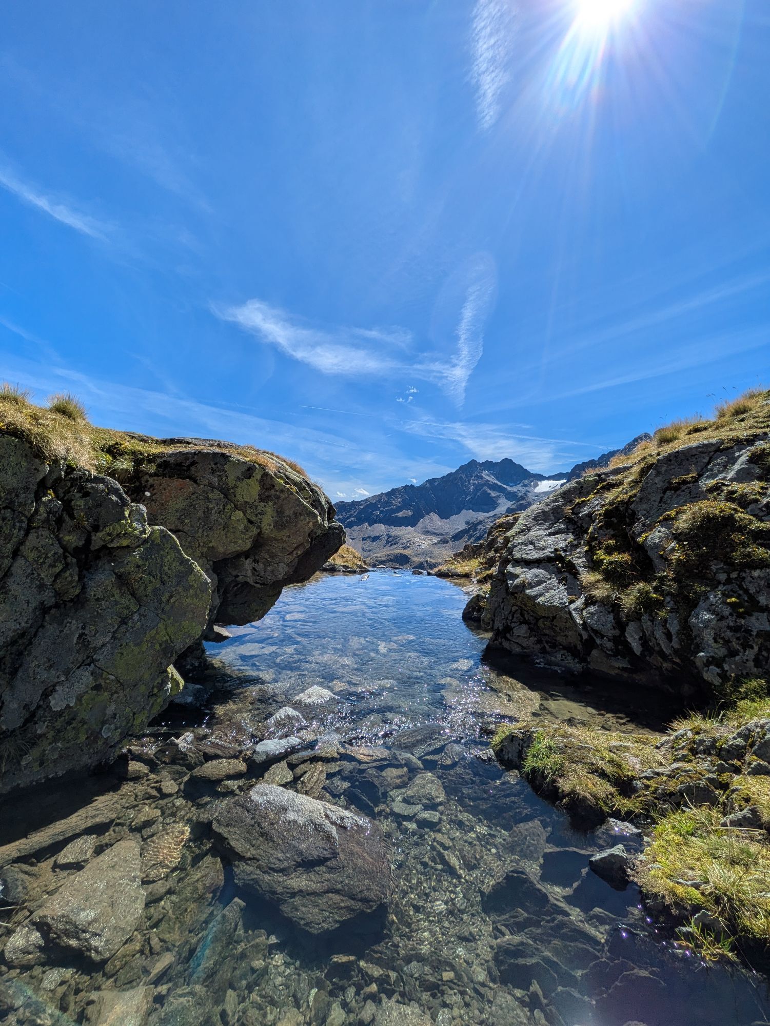
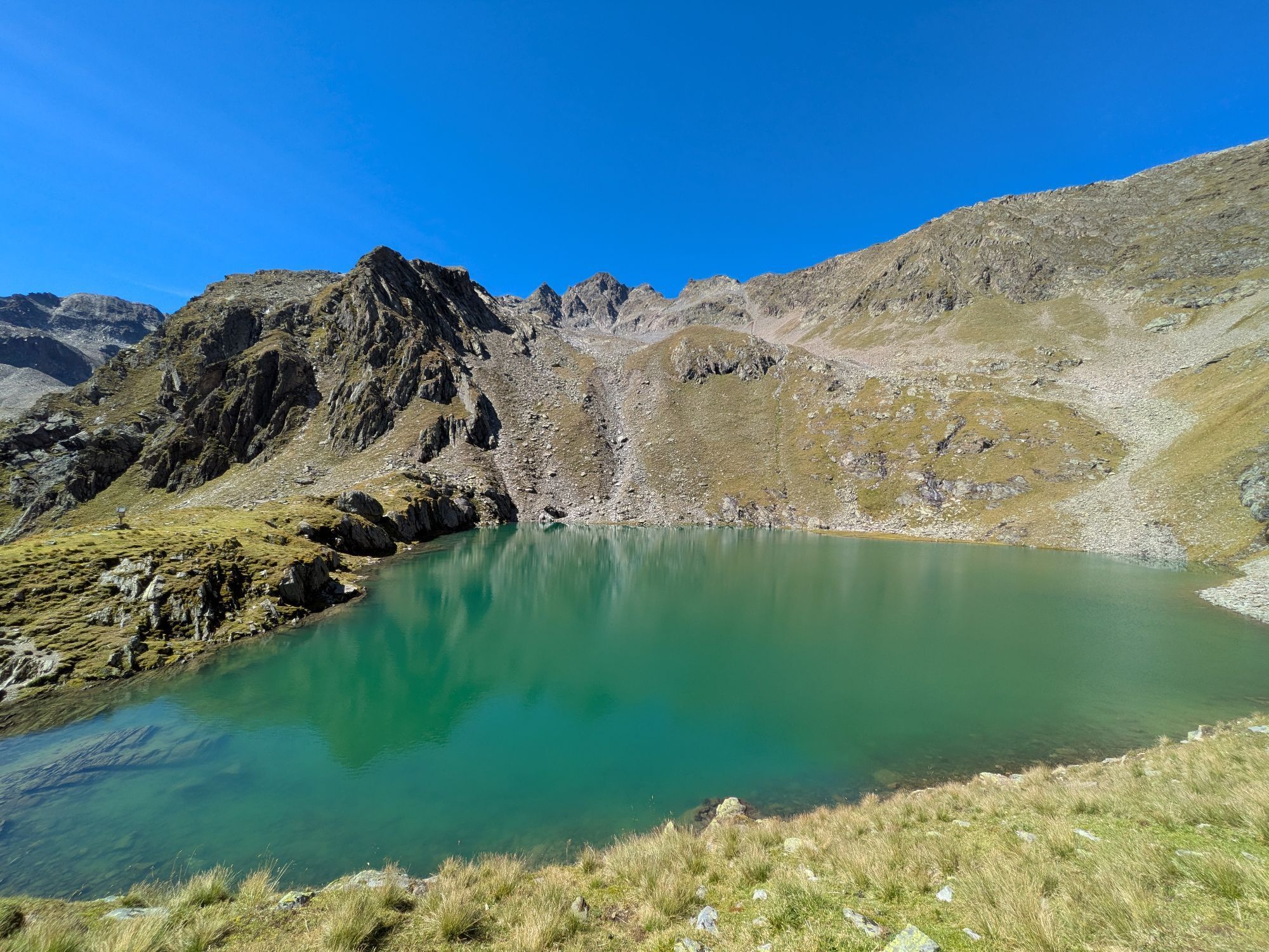
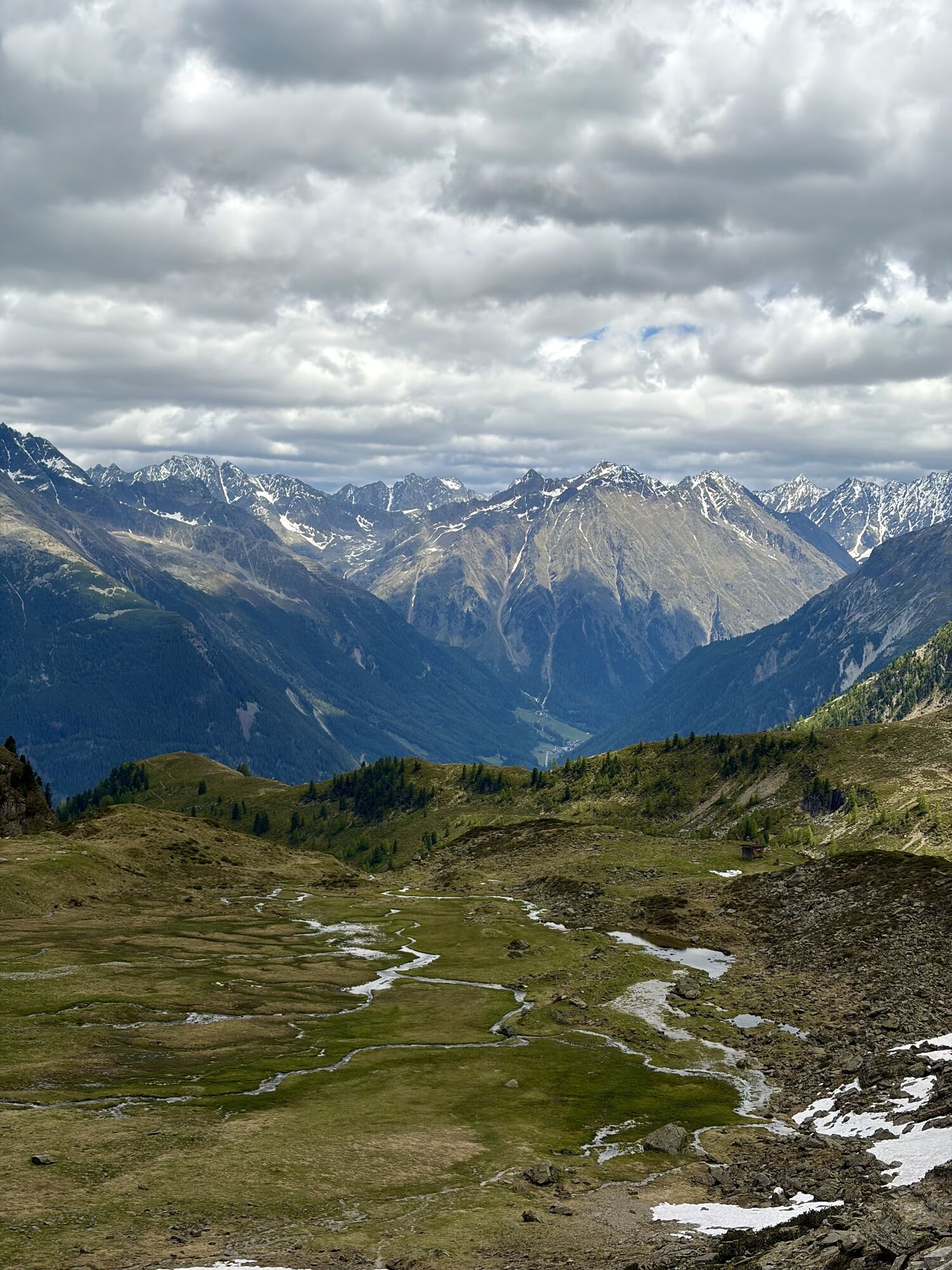
LAKE ROUTE ON THE MIDDLE GEIGENKAMM
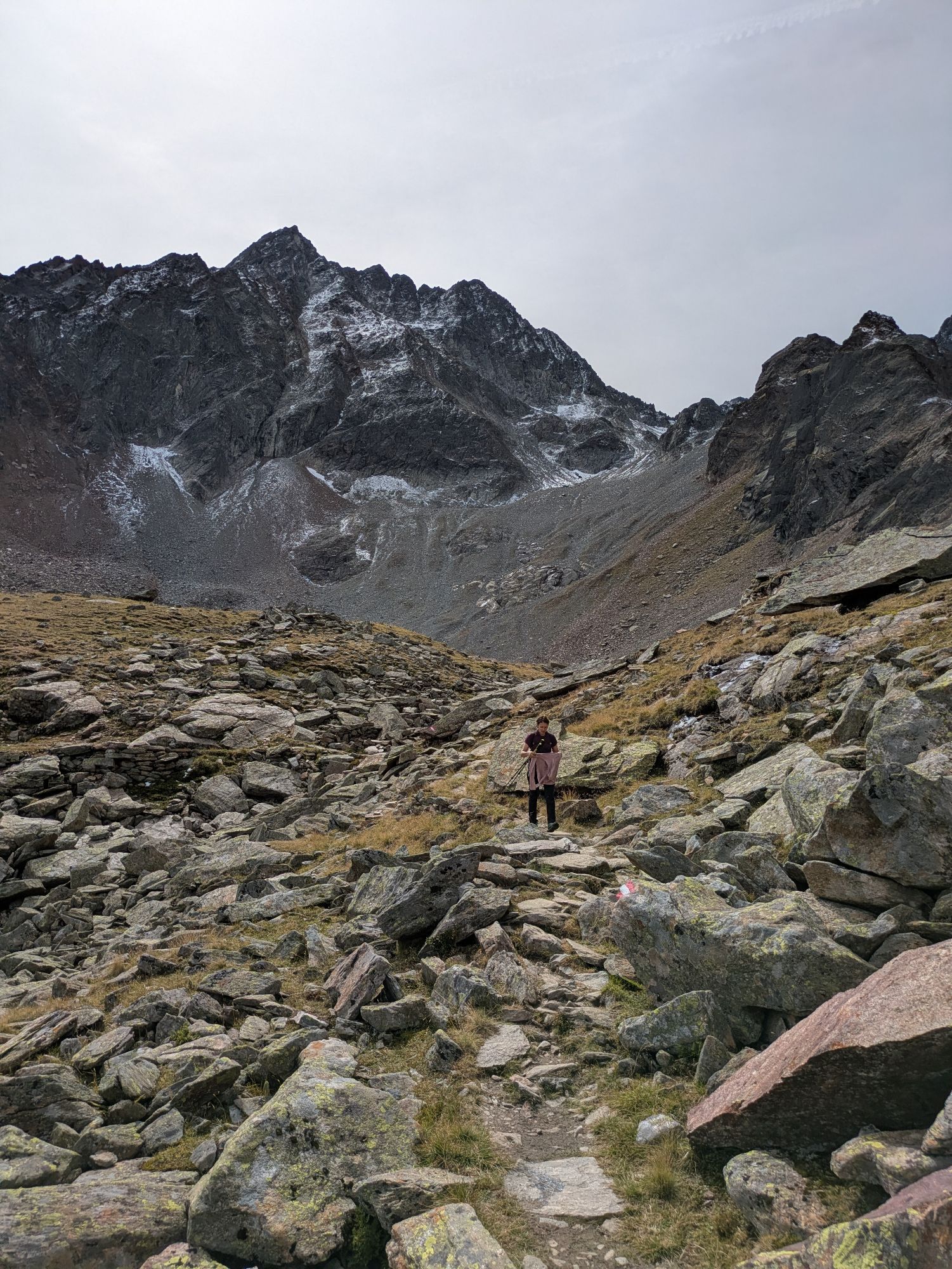
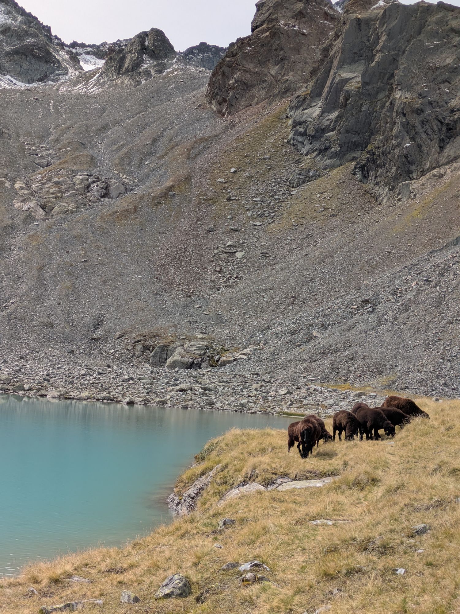
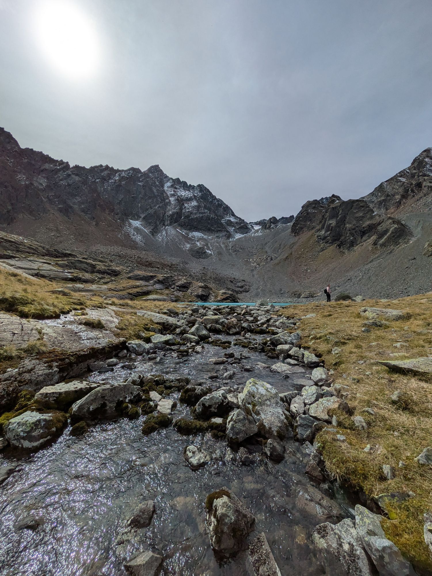
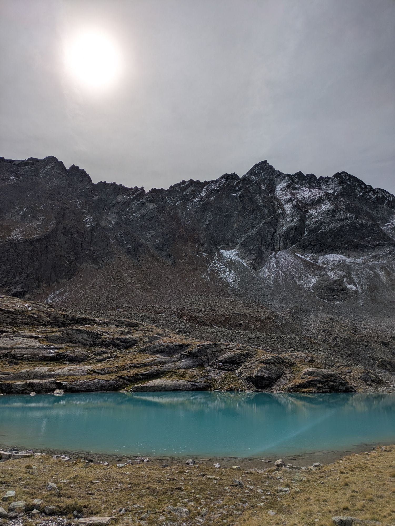
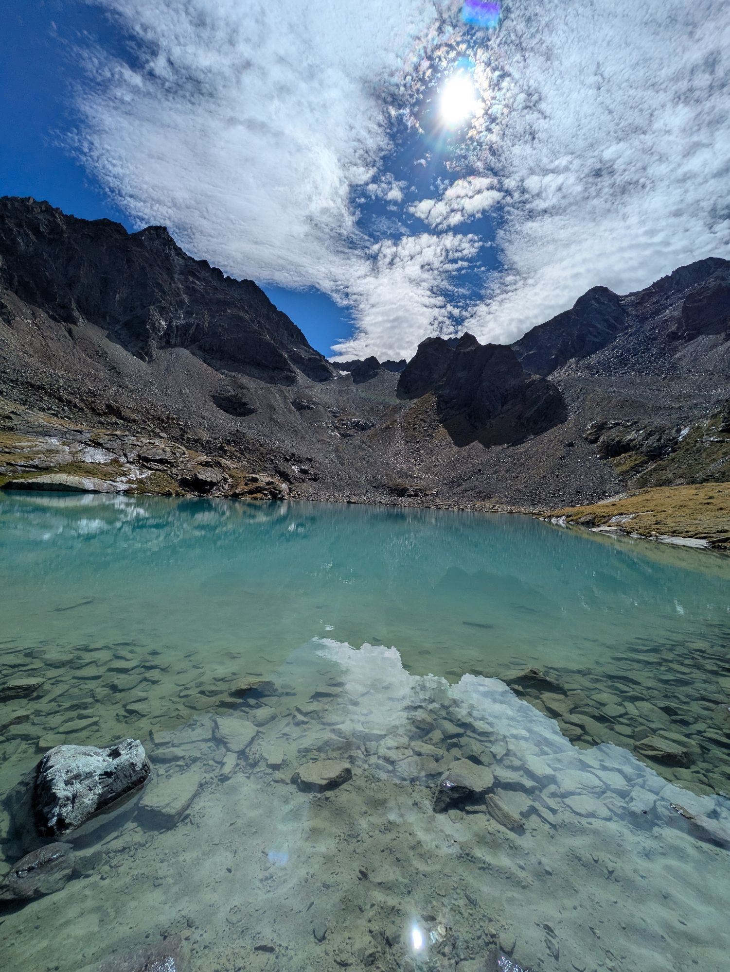
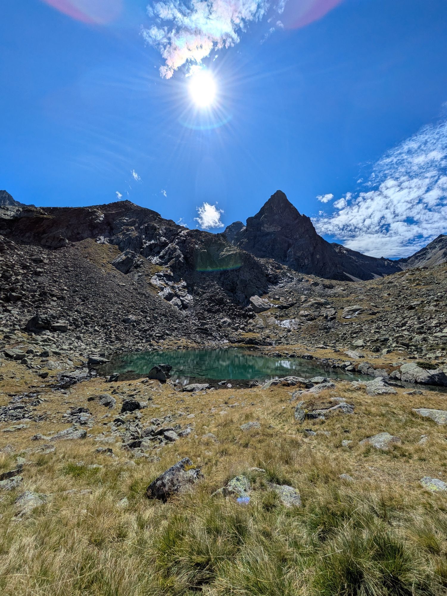
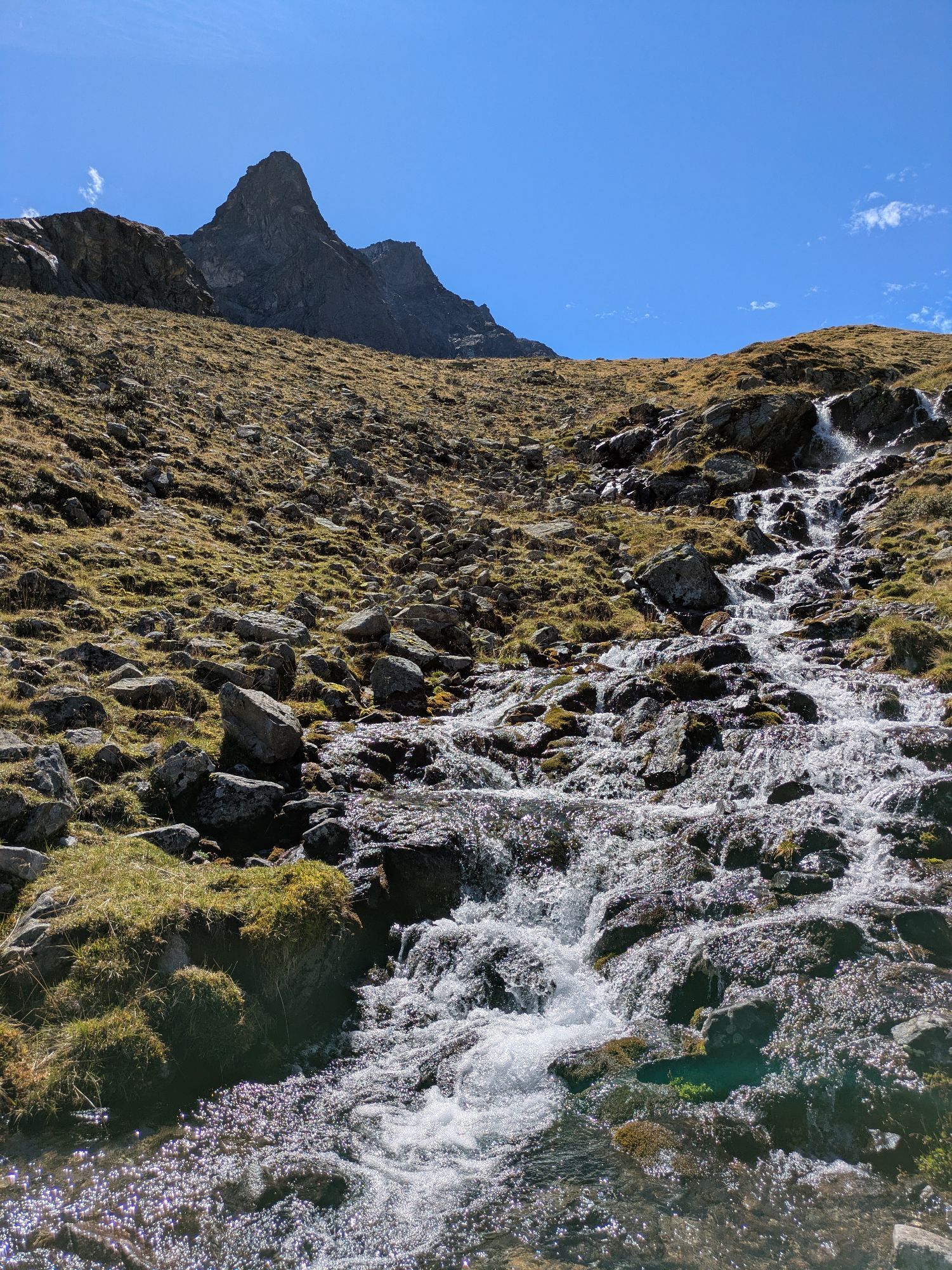
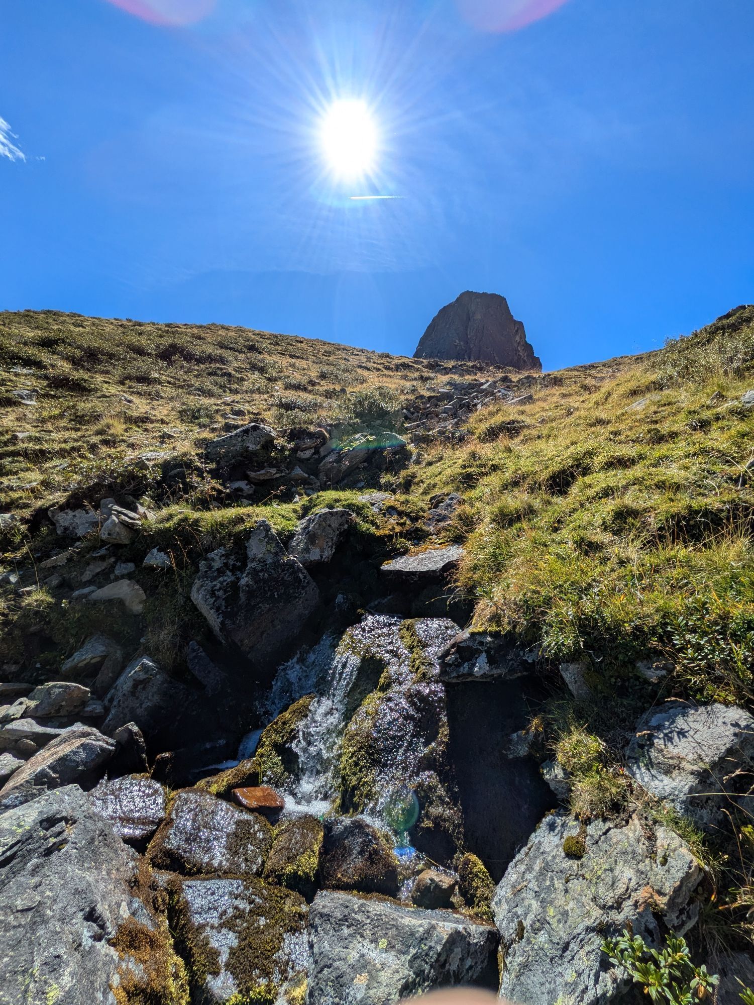
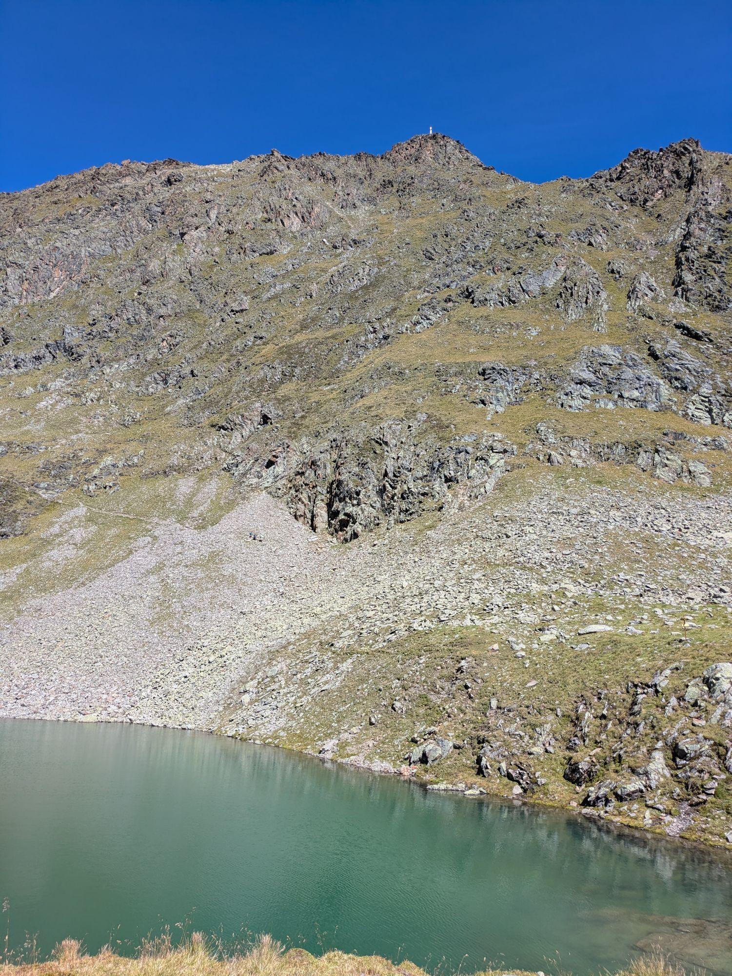
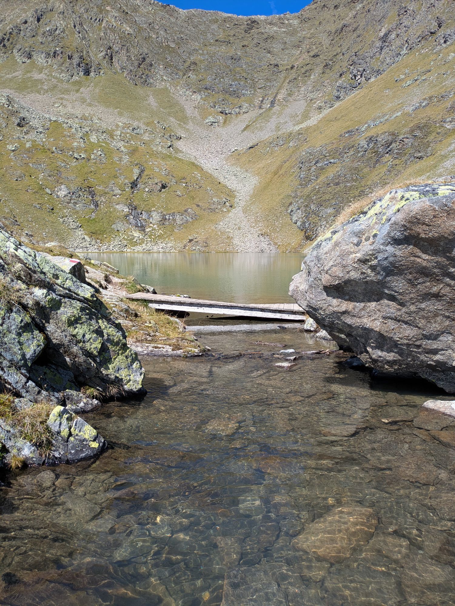
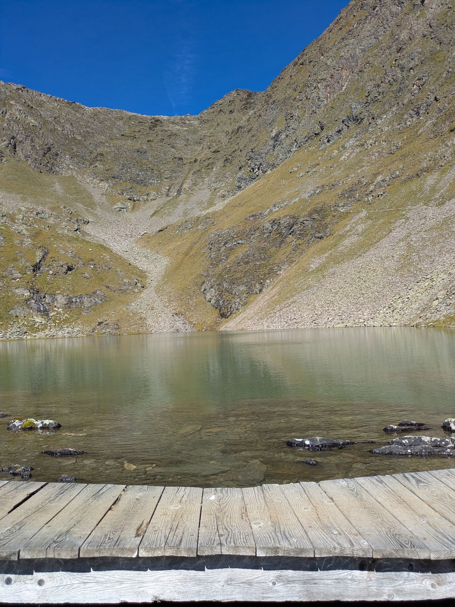
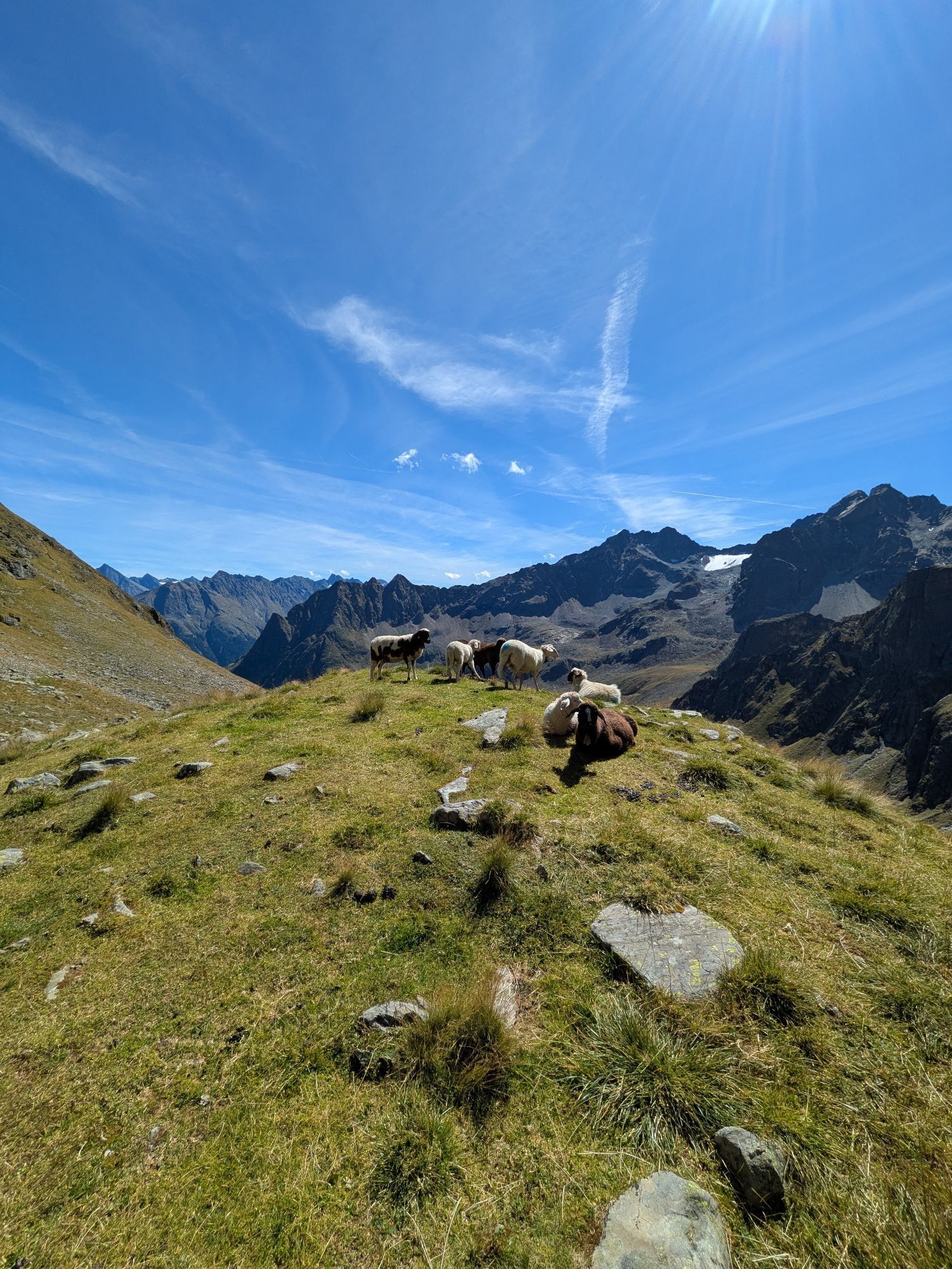
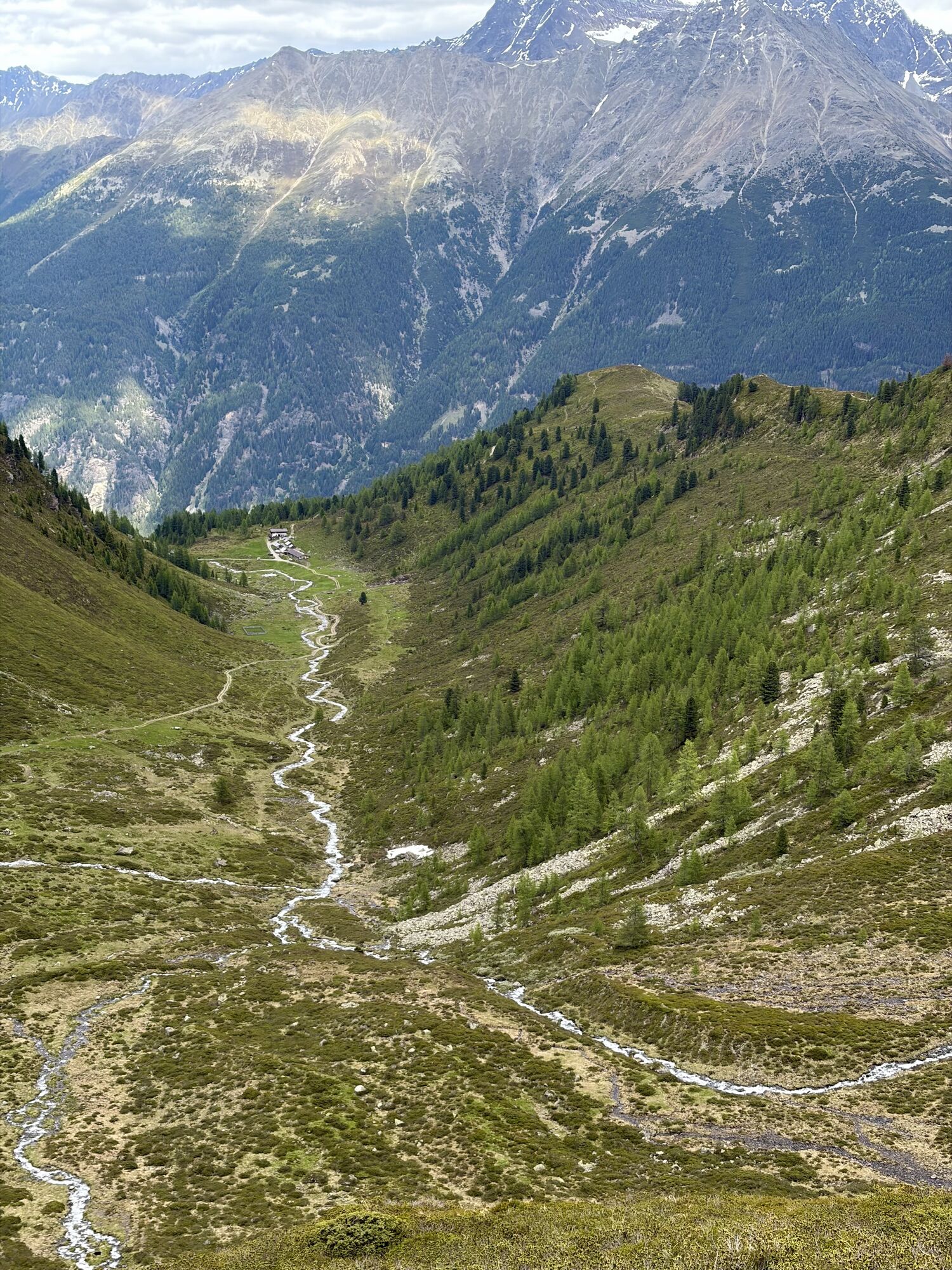
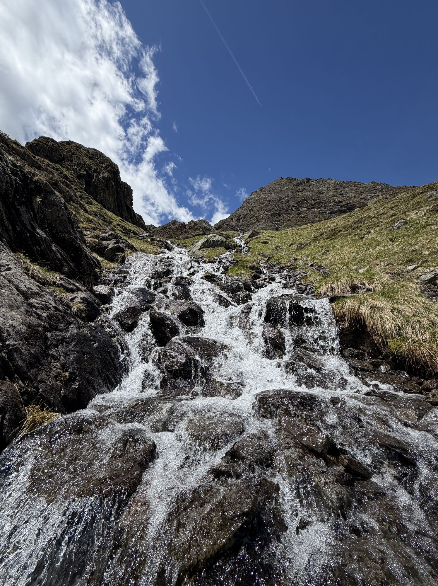
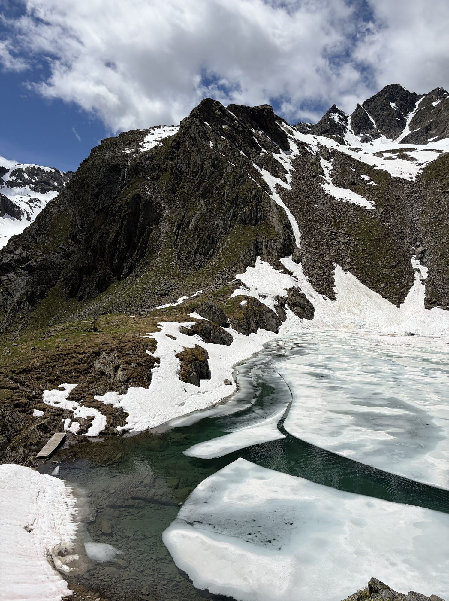
The first mountain lake is already located directly at the starting point and has given its name to the small Hauersee hut. The hike initially goes slightly downhill and past the Lower Spitzigsee. Then the rear Innerberg valley is traversed descending in a northwestern direction. The trail runs along the slopes above the Felderkar. Then the route winds in switchbacks upwards to the White Lake below the nearly 2,800 meter high Felderjöchl, which forms the barrier to the Frischmann hut. You pass the lake on the right, then the secured path soon winds up again in rocky, very steep terrain and once more in switchbacks up to the Felderjöchl. Beyond it, you first descend quite steeply to then comfortably traverse the Fernerkar below the Ploderferner glacier. Later the route leads mostly quickly downhill to the east below the Griesköpfe. The last elevation meters finally lead over alpine meadows out to the Frischmann hut.
Appropriate equipment such as breathable and weather-appropriate outdoor clothing is required for all hikes and routes. Bringing a first aid kit, a mobile phone, and possibly a hiking map, as well as sufficient provisions for hikes without refreshment options, is necessary. Hauersee hut is not serviced.
Moderate mountain trail; suitable for sure-footed and experienced mountain hikers; good physical condition, mountain experience, and mountain equipment (see equipment) necessary. Please observe the current weather report.
The car journey to the ÖTZTAL. Located in Tyrol, the Ötztal branches southwards as the longest side valley of the Eastern Alps. Traveling by car leads visitors along the Inn valley to the valley entrance and further along the Ötztal. Besides the toll motorway, country roads can also be used. Your trip can be quickly and conveniently planned with the route planner: To the route planner: https://www.google.at/maps
Travel comfortably and safely by train to the Ötztal train station. The final stop or exit point is the ÖTZTAL station. Afterwards, you can conveniently and quickly travel by public bus or local taxi companies through the entire valley to your desired destination.
The current bus schedule is available at: http://fahrplan.vvt.at
The following parking options are available:
Längenfeld:
- Parking lot in Lehn near the local museum | chargeable | more info on multi-day tickets at +43 57200 300
- Parking lot Oberried – climbing garden | chargeable | more info on multi-day tickets at +43 57200 300
Umhausen:
- Parking lot Mure | free
- Bischoffsplatz | chargeable
T3
Did you know that…
...the Geigenkamm mountain range is surrounded by about thirty 3000-meter peaks?
More info about hiking in the Ötztal: www.oetztal.com/wandern
Stage 20 as a day stage
Hut taxi from Längenfeld to Innerbergalm (1,950 m) - Hauersee hut (2,383 m) – Felderjöchl (2,797 m) – Frischmann hut (2,192 m) - Hut taxi from Hinterer Fundusalm (1,964 m) to Umhausen
Please note that the start and end points are not the same. If possible, use public transport or make sure that you can get back to your car at the end of your hikes.
Popularne wycieczki w okolicy
-
4,6
Winnebachsee Hut – Längenfeld/Gries
średniWędrówka 4,74 km -
4,3
Hike Stuibenfall - Umhausen
światłoWędrówka 2,95 km -
4,3
Stuibenfall Umhausen circular hike
światłoWędrówka 9,32 km -
4,7
Winter circular route Brandalm/Burgstein - Längenfeld 204
średniWędrówka zimą 5,44 km -
4,5
Oetz - Piburger See - Oetz
średniWędrówka 7,16 km -
4,4
Rundwanderung Hängebrück3
światłoWędrówka 6,32 km -
4,3
Amberger Hut - Längenfeld/Gries
średniWędrówka 5,60 km -
4,8
lake Piburger See
światłoWędrówka 2,75 km -
4,4
Umhausen - Stuibenfall - Umhausen
średniWędrówka 7,94 km -
4,5
Summit route Weather Cross from Hochoetz
średniWędrówka 3,06 km
Wędrówki i tropienie


Nie przegap ofert i inspiracji na następne wakacje
Twój adres e-mail została dodana do listy mailingowej.