







Ötztaler Urweg E9 Granstein - Längenfeld
Poziom trudności: T2
FROM SÖLDEN TO THE LANGEN FIELDS
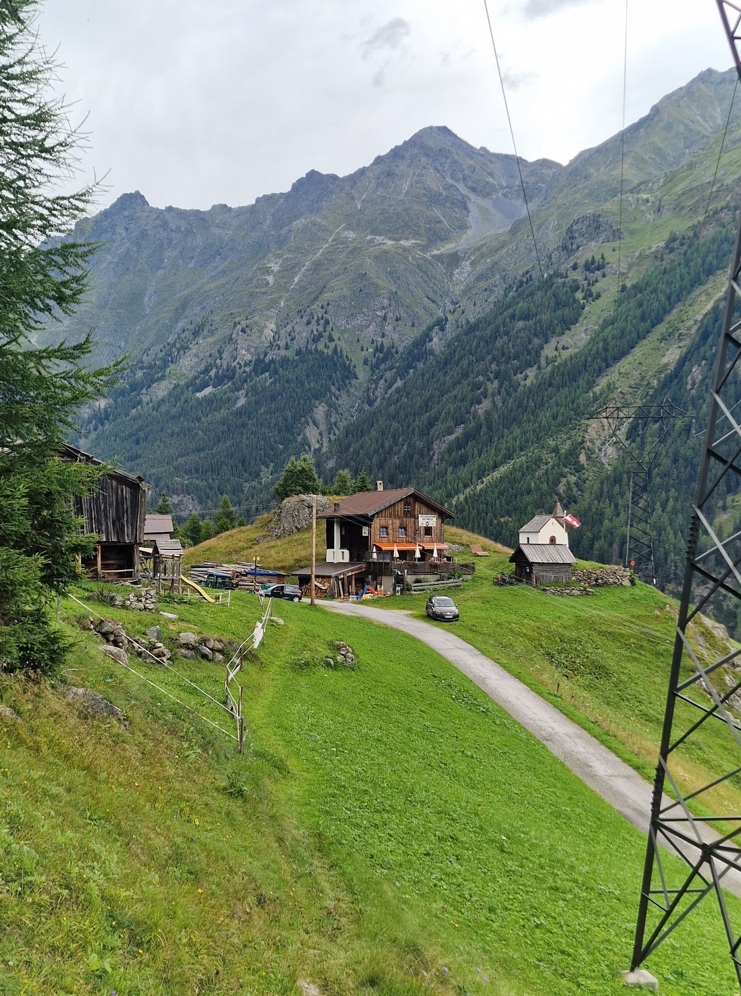
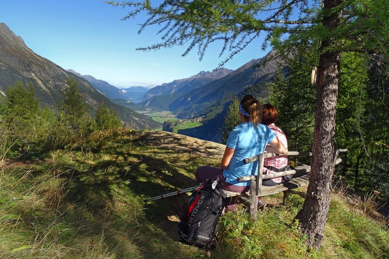
As quietly and idyllically located as Granstein is Hochwald. A small hamlet not far from Sölden, surrounded by countless larch trees, in a forest clearing. Here you get...
FROM SÖLDEN TO THE LANGEN FIELDS
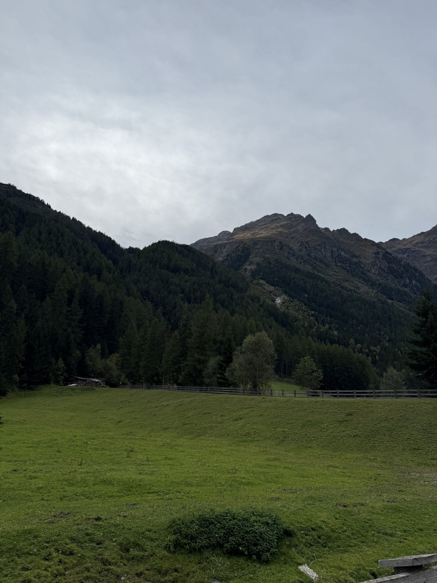
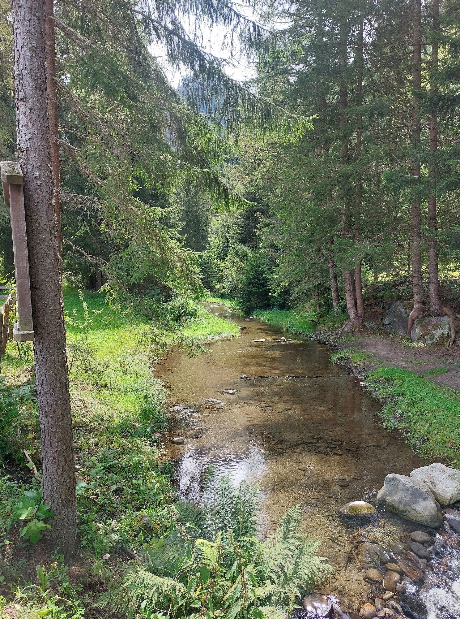
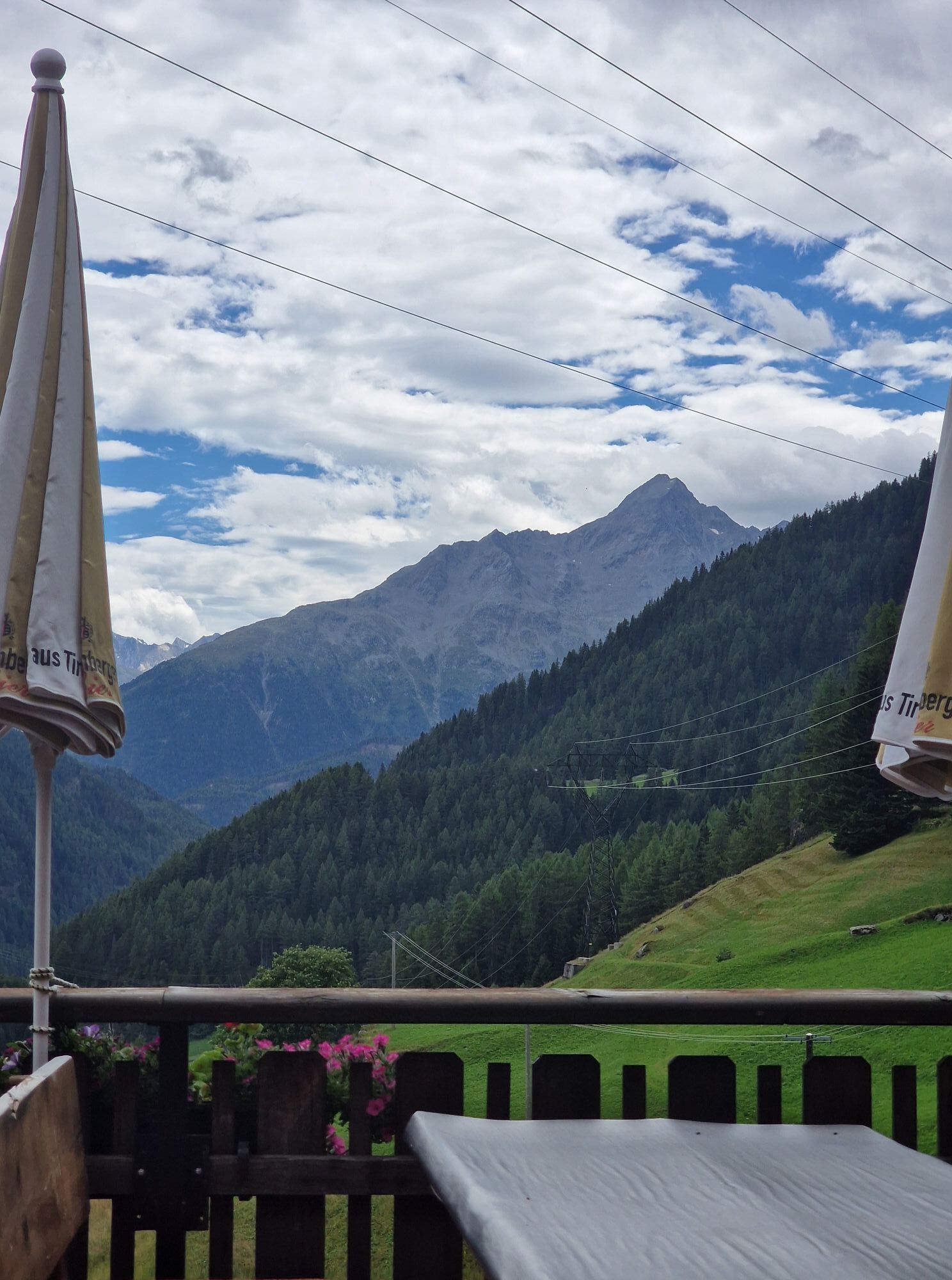
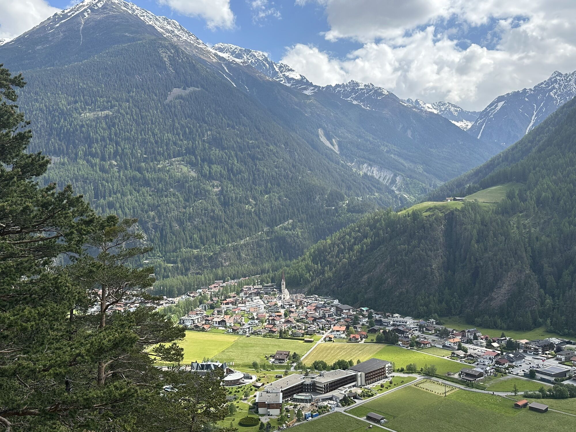
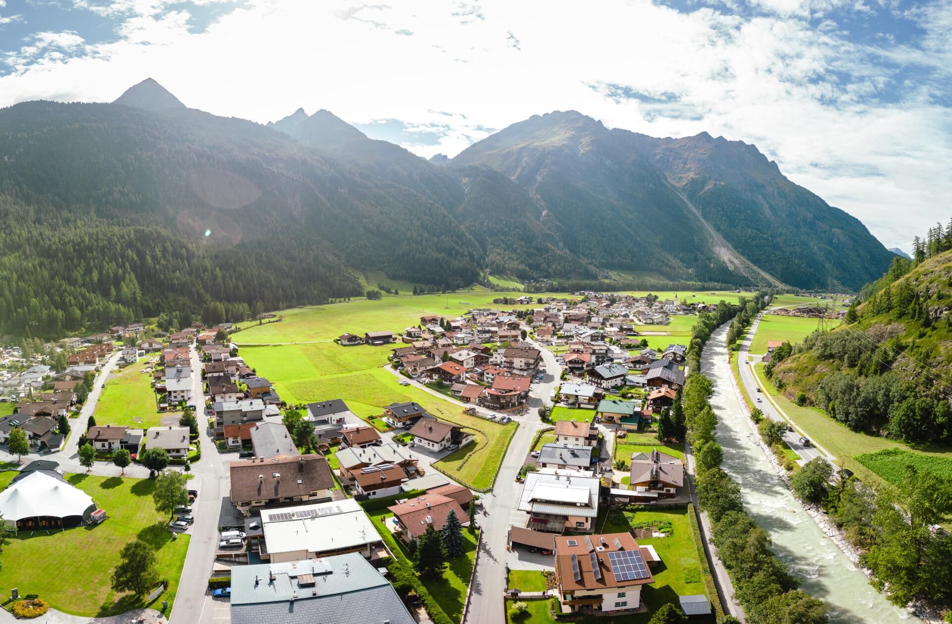
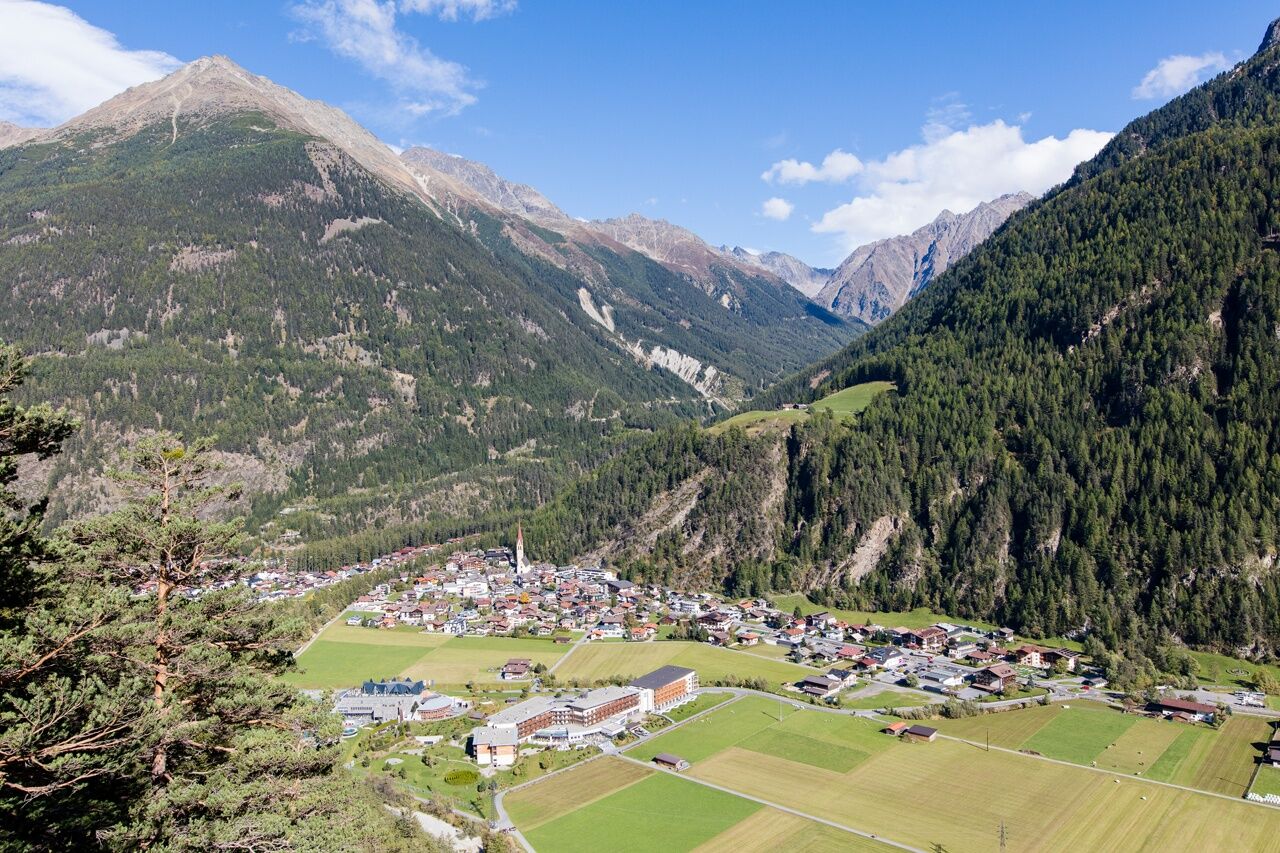
As quietly and idyllically located as Granstein is Hochwald. A small hamlet not far from Sölden, surrounded by countless larch trees, in a forest clearing. Here you get another look back at the valley metropolis with the gigantic mountain backdrop that gives the picture the right frame. The path leads past water, forests, and small hamlets at the foot of the steep valley sides between Sölden and Huben. At Huben, the path passes the starting point of the Ötztal legend trail, one of 10 power spots in Längenfeld.
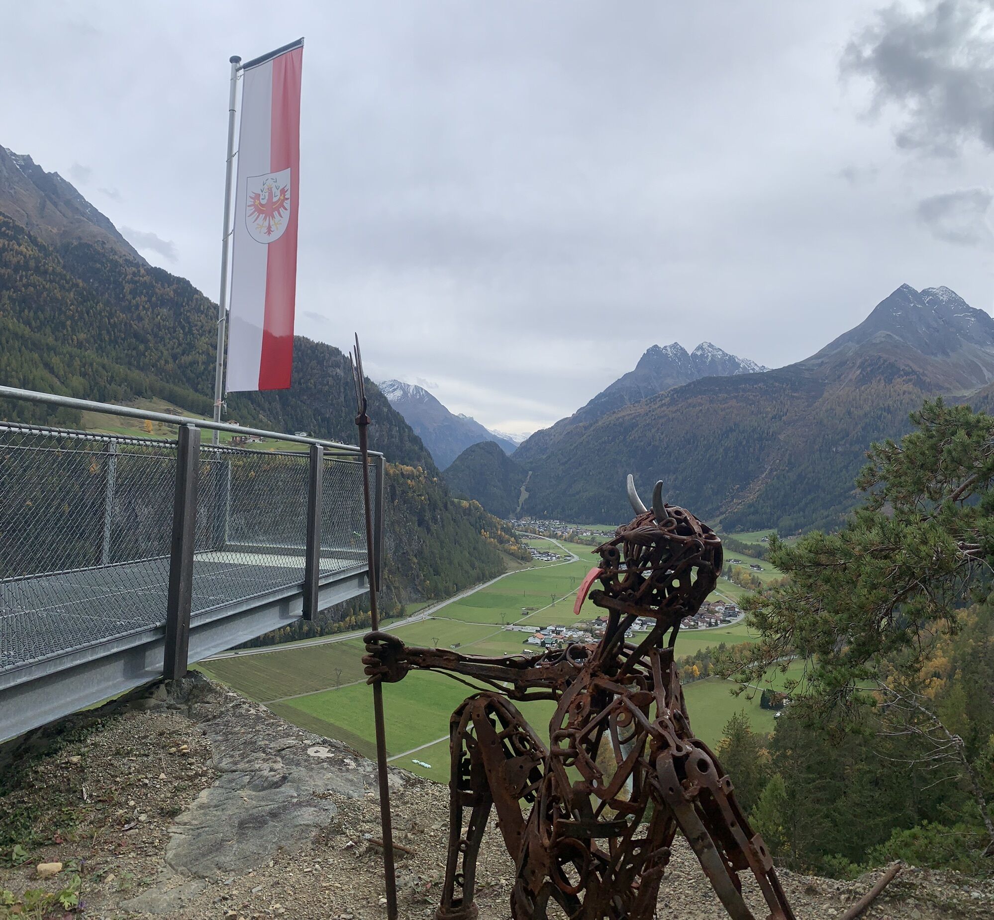
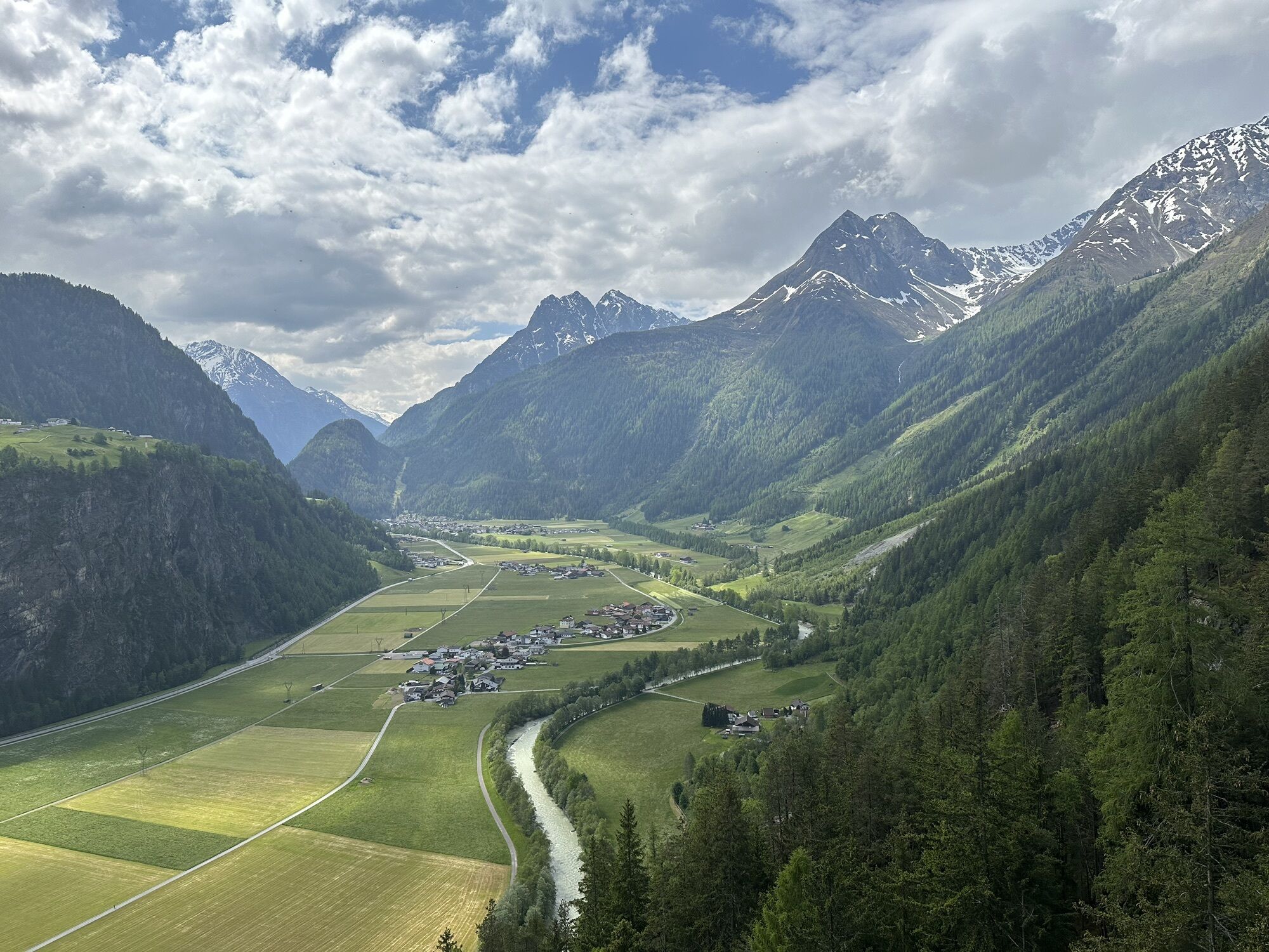
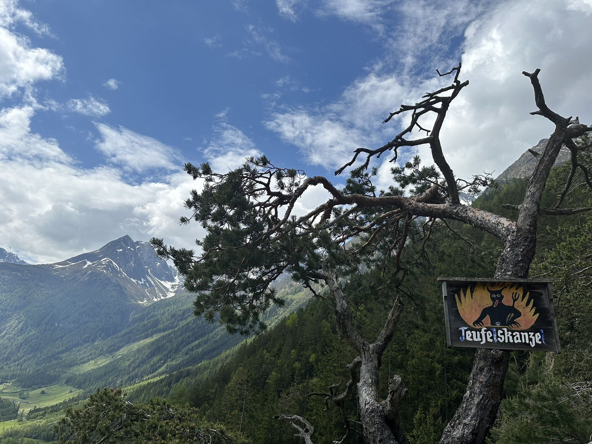
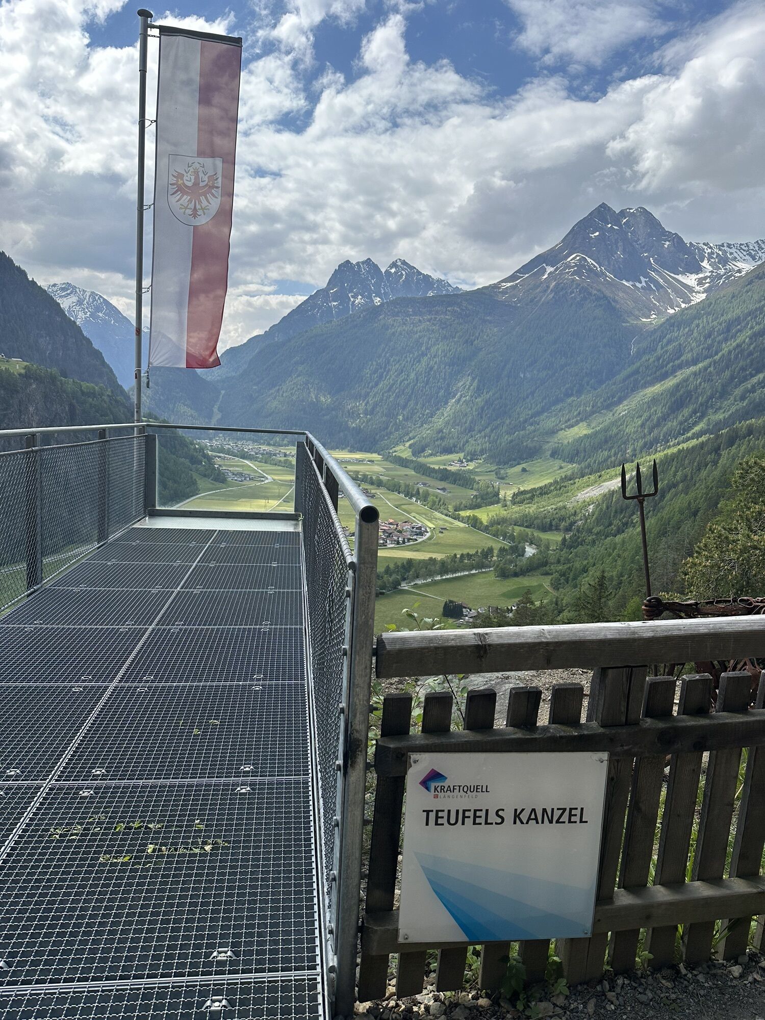
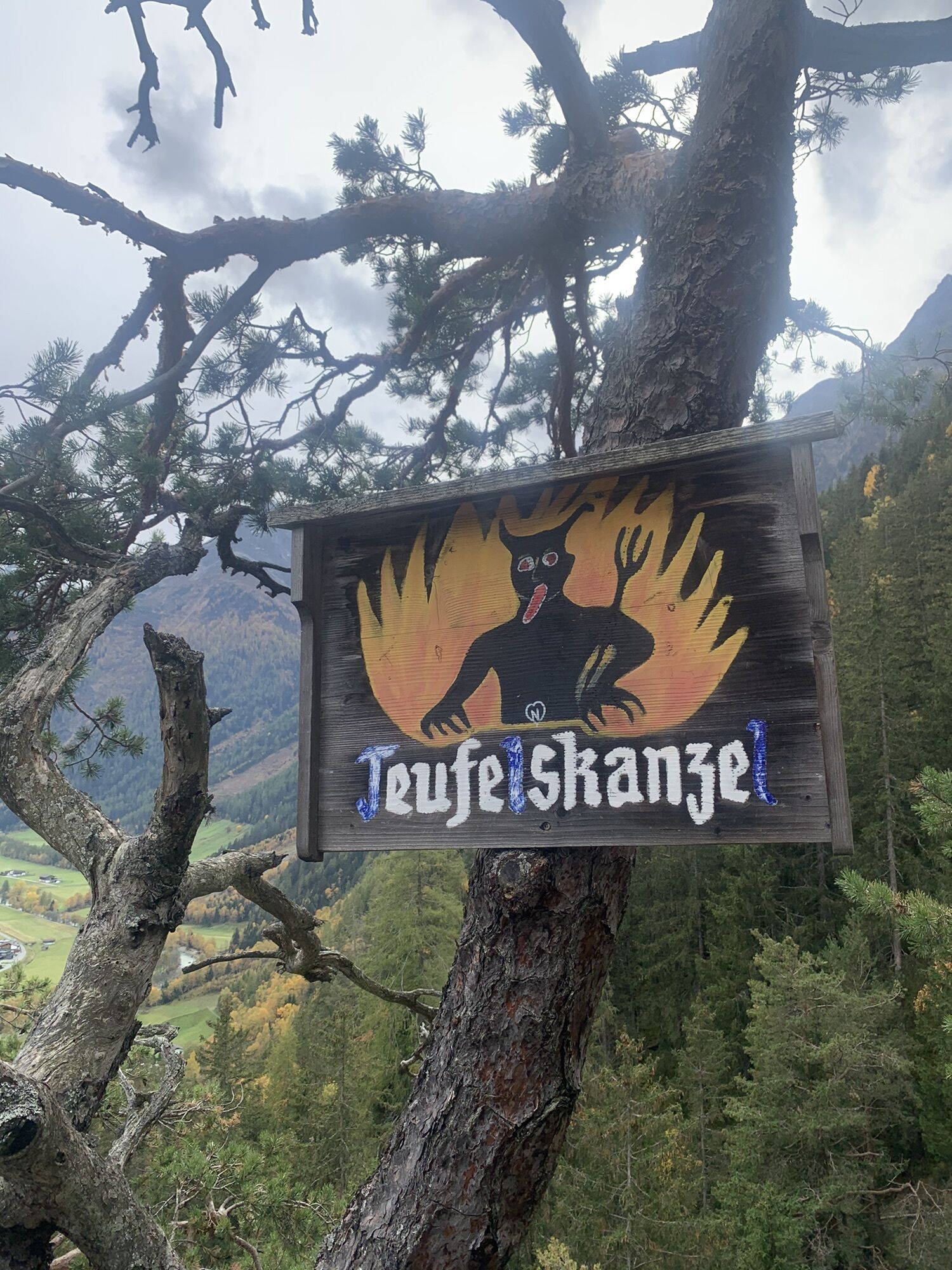
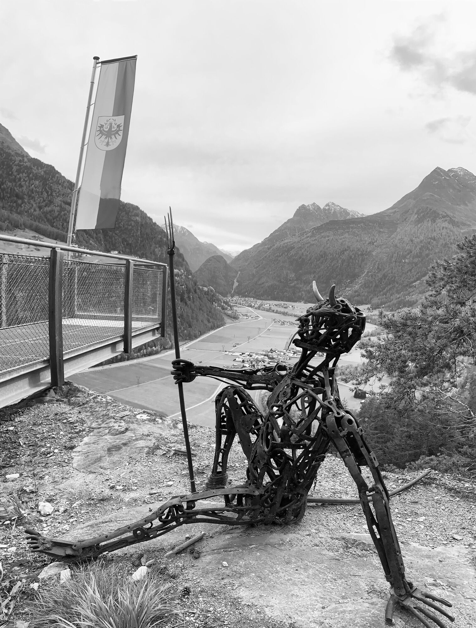
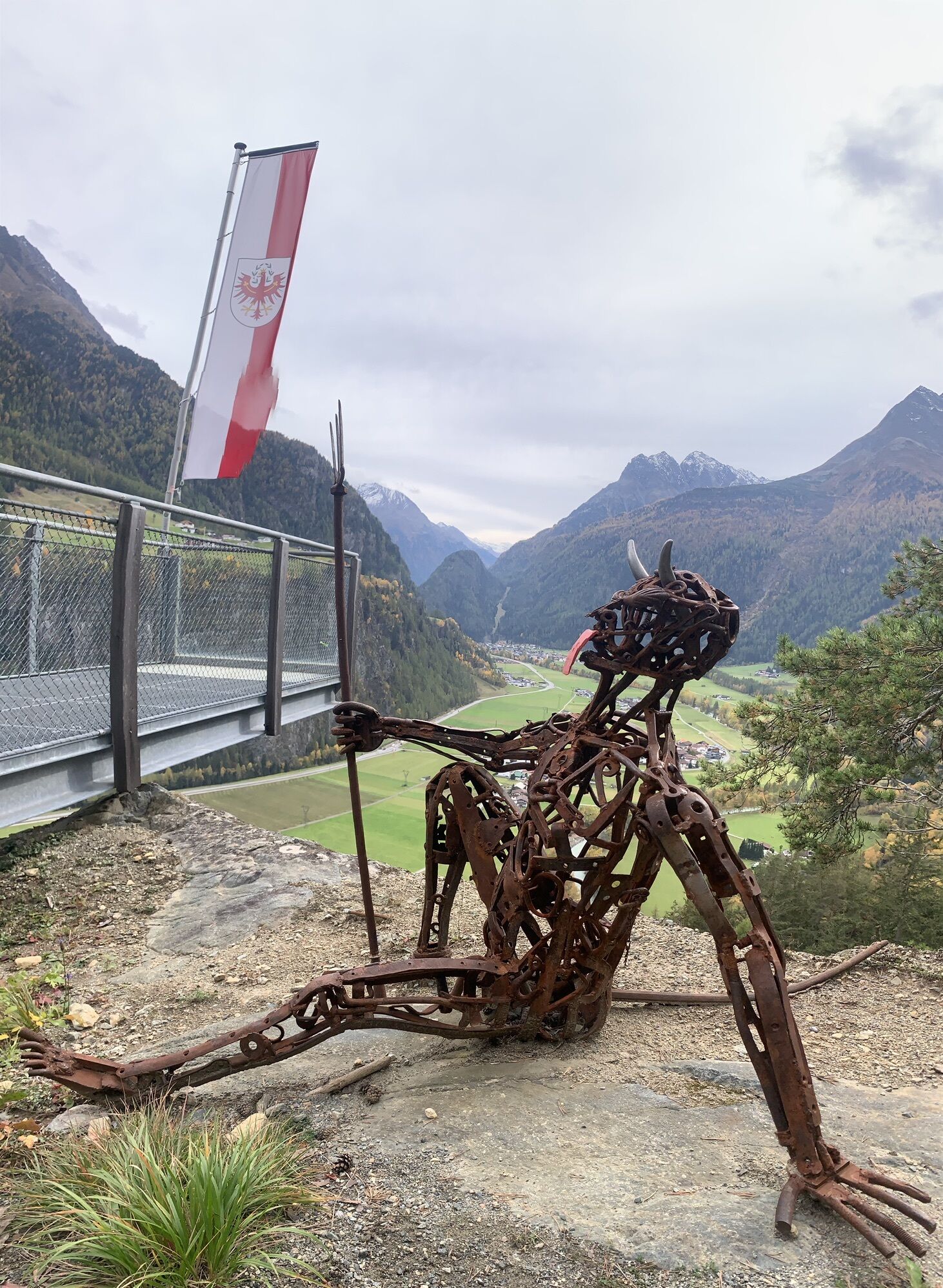
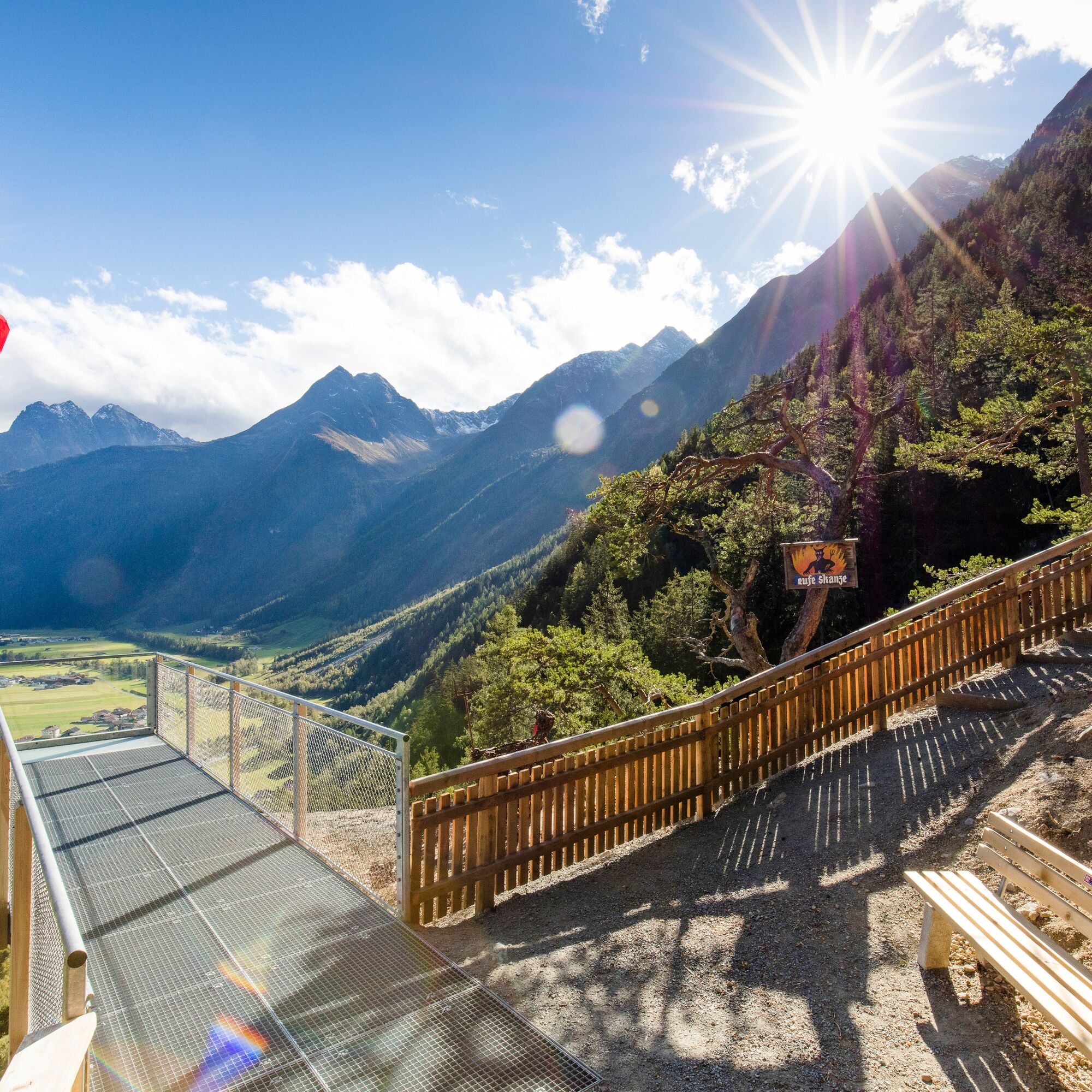
Further energy fields are crossed by the Duringweg, a high-altitude path above the small villages and hamlets down in the valley, equipped with many old farms. Buildings from past times show the Ötztalers' awareness of tradition. "Hellishly good" is how we feel at the Teufelskanzel, the next power spot. The panoramic view from up here prevails; opposite, in majestic height, you find the suspension bridge between Brandalm and Burgstein.

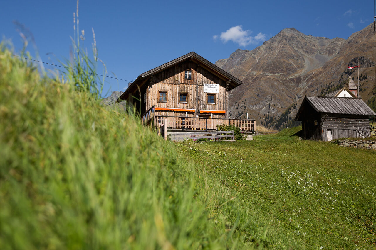


From Granstein, you reach Hochwald to the right via a connecting path. There, the path leads gently downhill through the forest to the Ötztal federal road. You follow the Ötztal cycle path downstream to Aschbach. There, you cross the Ötztaler Ache and continue hiking until you reach the hamlet of Bruggen through an underpass. Keeping left and following the gravel path, you stroll through the hamlets of Bruggen and Winkle until you finally come to the next underpass. Then you keep to the left side and cross the Ötztaler Ache again. You then pass the houses in Huben, past the sports field towards Gottsgut. You continuously hike along the left side of the Ötztaler Ache until the Duringweg soon branches off to the left. The path leads upwards over switchbacks.
You now enjoy a magnificent panorama all the way to the Teufelskanzel. From the Teufelskanzel, the path continues moderately downhill to the Pestkappelle, down to the campsite, and straight on to the Fischbach bridge in Oberlängenfeld.
Appropriate equipment such as breathable and weather-appropriate outdoor clothing is required for all hikes and routes. Carrying a first aid kit, a mobile phone, and possibly a hiking map, as well as sufficient provisions for hikes without the possibility of stopping, is necessary.
Moderately difficult mountain path; suitable for sure-footed and experienced mountain hikers; good physical condition, mountain experience, and mountain equipment (see under Equipment) necessary. Please pay attention to the current weather report.
The car journey to the ÖTZTAL. Located in Tyrol, the Ötztal branches off southwards as the longest side valley of the Eastern Alps. Traveling by car leads visitors through the Inn valley to the valley entrance and further along the Ötztal. In addition to the toll motorway, country roads can also be used. With the route planner, your journey can be quickly and conveniently determined: To the route planner: https://www.google.at/maps
Travel comfortably and safely by train to the Ötztal station. The final stop or exit point is the ÖTZTAL station. Afterwards, you can travel conveniently and quickly with public transport or local taxi companies through the entire valley to your desired destination.
The current bus timetable is available at: http://fahrplan.vvt.at
The following parking options are available in Sölden:
- Postplatz car park
- Stiegele car park
- Multi-level car park
- Giggijochbahn + underground garage
- Gaislachkoglbahn + underground garage
- Hochsölden car park
- Hochsölden underground garage, 1st parking level
- Zwieselstein car park
- Zwieselstein/Sports field car park.
Parking spaces in Sölden are subject to a fee.
For parking for several days (e.g., hut tour):
- Gaislachkoglbahn underground garage, parking ticket either online or directly at the cash desk of the Gaislachkoglbahn
T2
Did you know that…
…according to legend, a farmer on the Teufelskanzel personally made a pact with the devil? The devil offered the farmer wealth and prosperity; in return, the farmer is said to have sold his soul.
TIP
Huben -> Ötztal legend trail -> Alpengasthof Feuerstein -> Huben
For all fans of legends and fairy tales, a hike along the exciting stories and sculptures of the Ötztal legend trail up to the rustic Alpengasthof Feuerstein is recommended! A fantastic experience!
More info about hiking in the Ötztal: https://www.oetztal.com/wandern
Kamery internetowe z trasy
Seekogel
Sölden - Hochsölden
Sölden - Grünwald Resort
Skilift Gries im Ötztal
Therme Längenfeld
Therme Längenfeld
Therme Längenfeld
Therme Längenfeld
Therme Längenfeld
Sölden - Grünwald Resort
Giggijoch
Giggijoch
Längenfeld - Ortsblick
Gries - Längenfeld
Sölden - Gaislachkogelbahn Mittelstation
Hochstubaihütte
Hochstubaihütte
Sölden Ort
The Peak Sölden**** Chalets und Appartements
Uzyskaj wgląd Zawsze na żywo z ponad 9 500 kamer internetowych. bergfex Jako użytkownik Pro, możesz teraz zobaczyć odpowiednie kamery internetowe dla wielu wycieczek w aplikacji wycieczki od. Pozwala to na bezpośredni podgląd aktualnych warunków. Popularne wycieczki w okolicy
- 4,6
Winnebachsee Hut – Längenfeld/Gries
średniWędrówka 4,74 km - 4,3
Hike Stuibenfall - Umhausen
światłoWędrówka 2,95 km - 4,4
Stuibenfall Umhausen circular hike
światłoWędrówka 9,32 km - 4,7
Winter circular route Brandalm/Burgstein - Längenfeld 204
średniWędrówka zimą 5,44 km - 4,4
Rundwanderung Hängebrück3
światłoWędrówka 6,32 km - 4,3
Amberger Hut - Längenfeld/Gries
średniWędrówka 5,60 km - 4,6
Umhausen - Stuibenfall - Umhausen
średniWędrówka 7,94 km - 5,0
Dresdner hütte - sulzenauerhütte
średniWędrówka 12,1 km - 4,7
Circular hike Bergmahderweg - Niederthai
światłoWędrówka 7,60 km - 5,0
Hoher Seeblaskogel 3235m - Längenfeld/Gries
ciężkiWędrówka 8,38 km
Wędrówki i tropienie


Nie przegap ofert i inspiracji na następne wakacje
Twój adres e-mail została dodana do listy mailingowej.





