







Circular hiking route - "Walter Schütz" - Ohrdruf - Thuringian Forest

Poziom trudności: T1
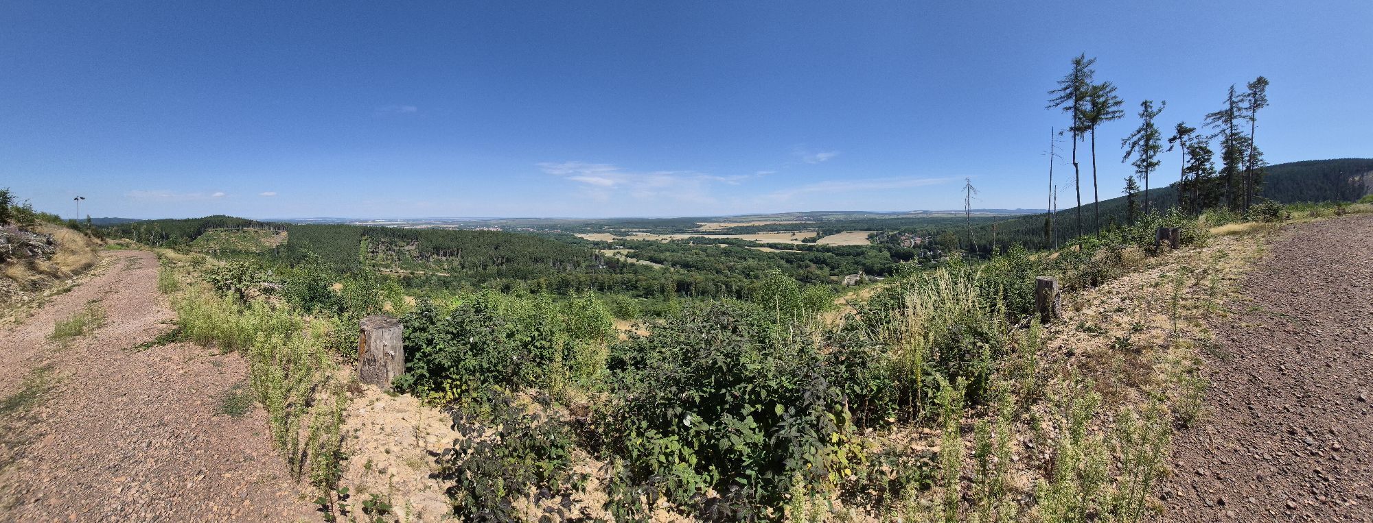
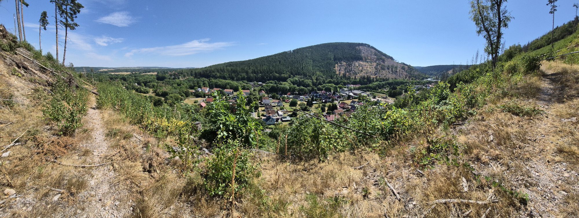
Starting at Blockhaus, you reach the Rocky Mountain via the White Path and a former firebreak below the Schlossberg. If you start at Tobiashammer, shortly after crossing the B247, you reach the firebreak...
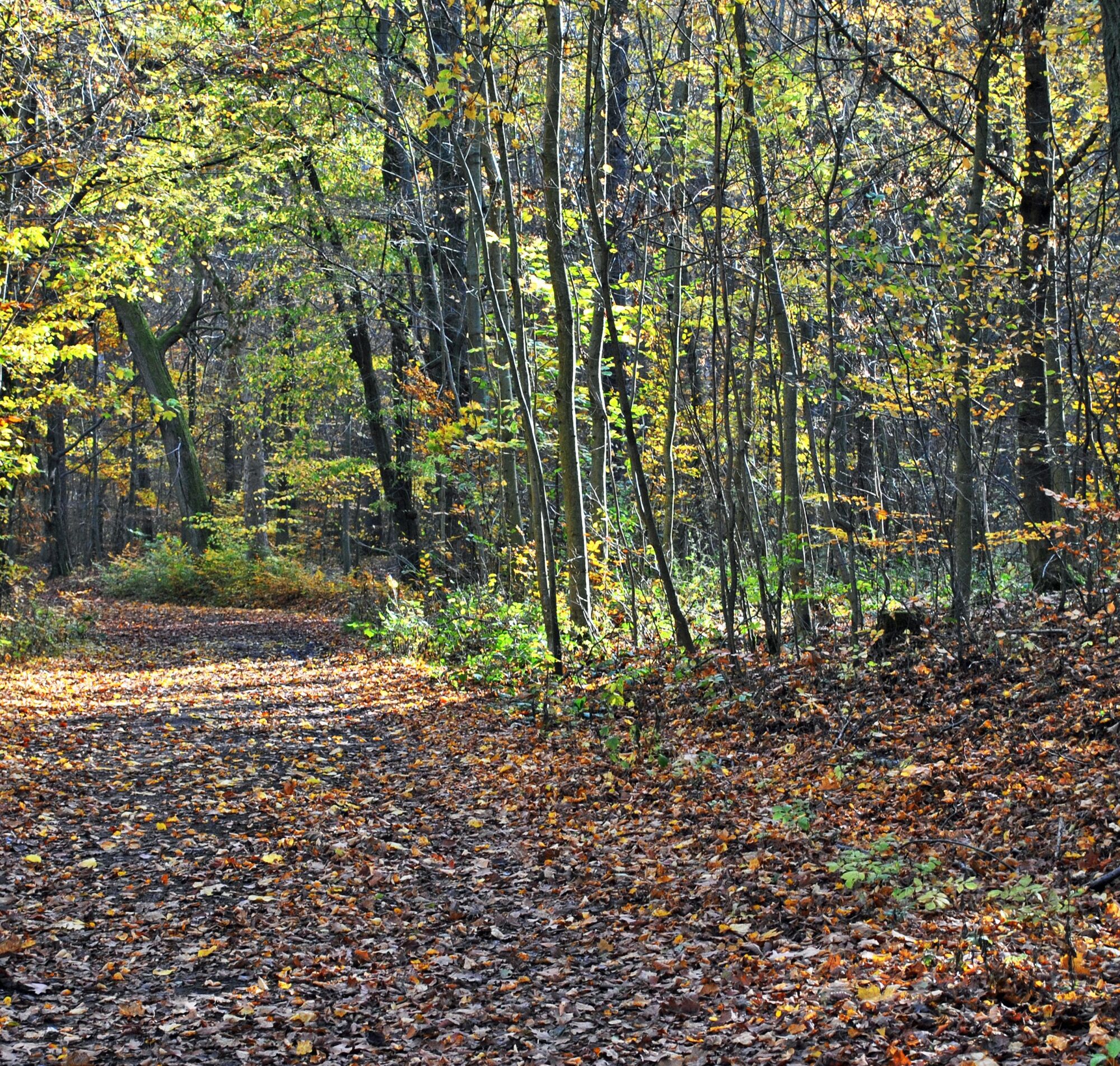
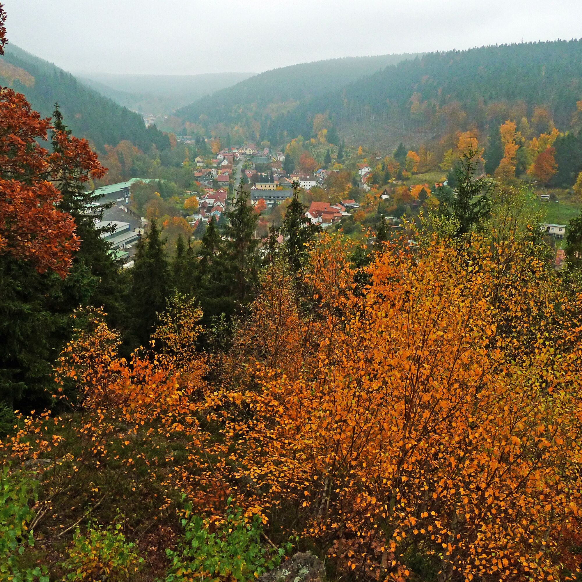
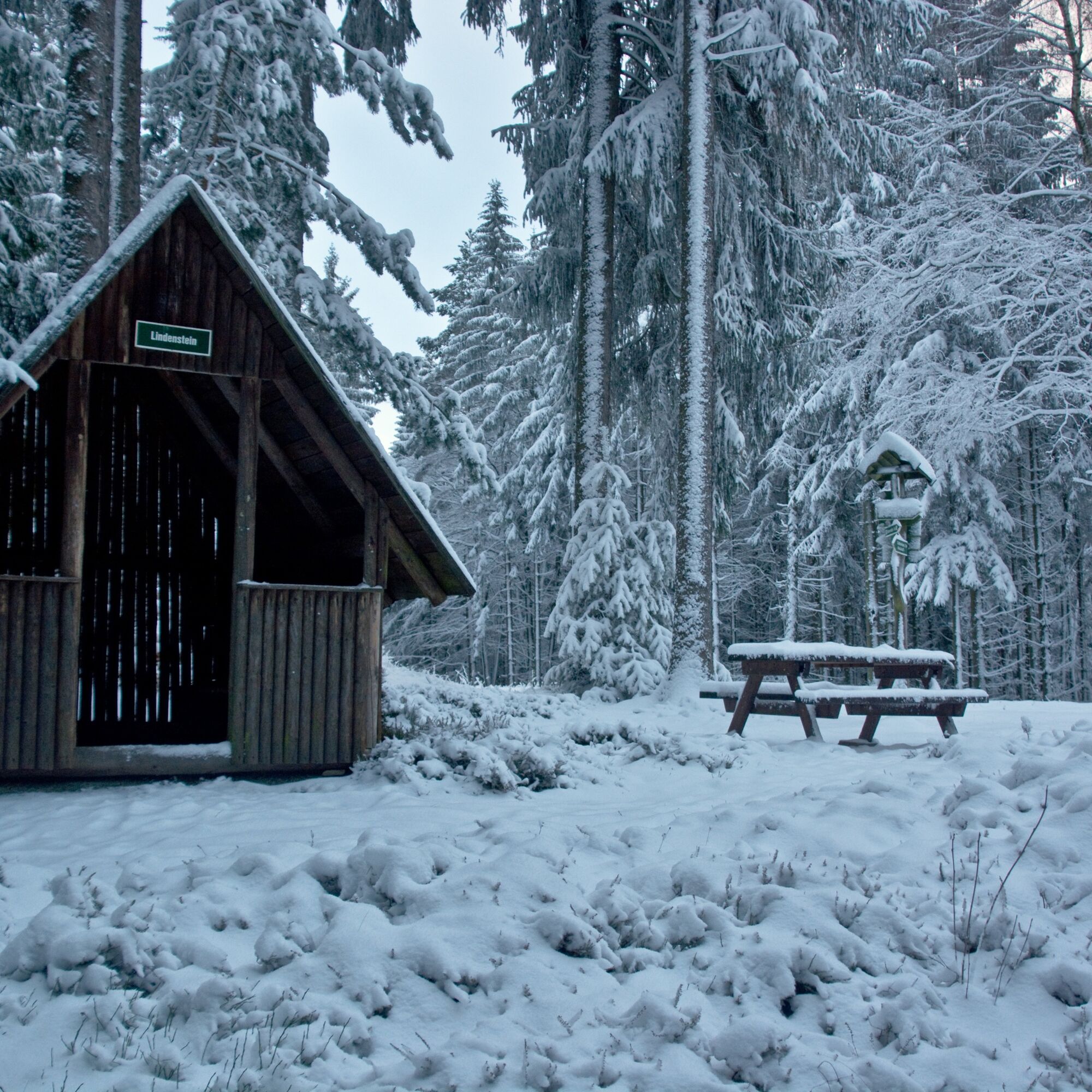
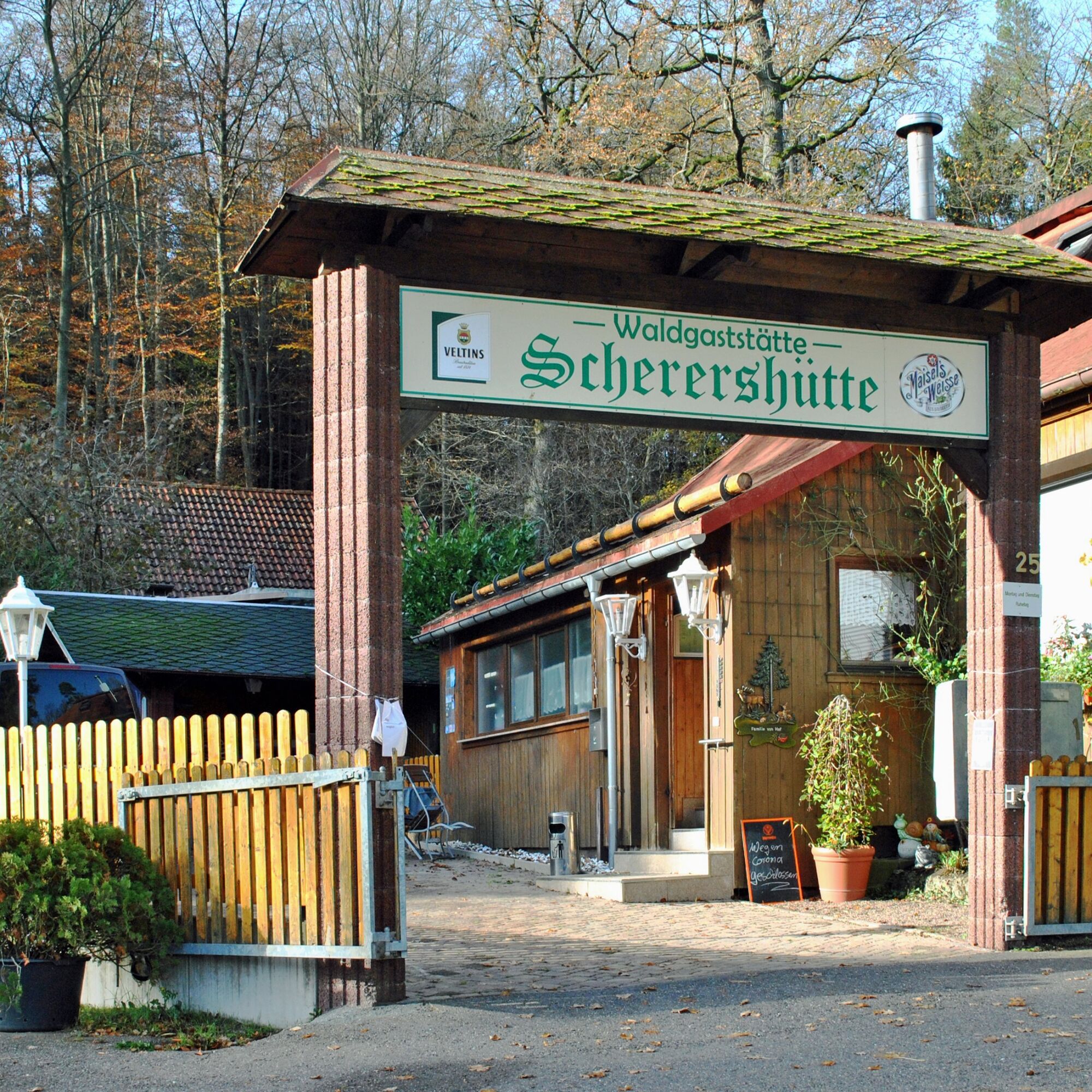
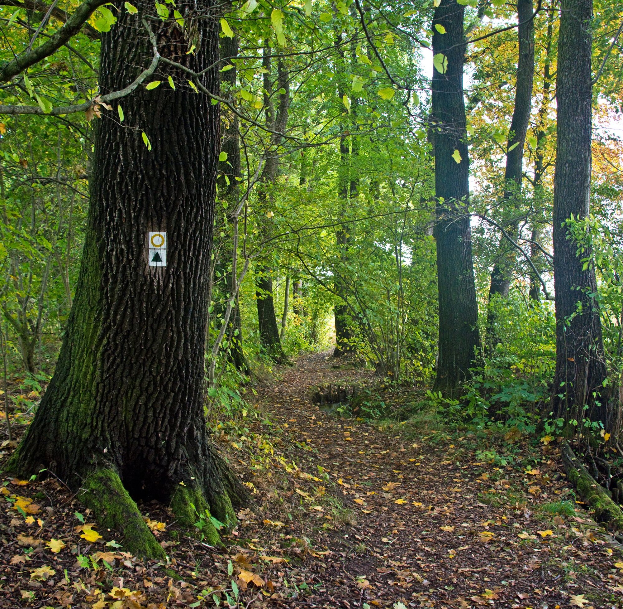
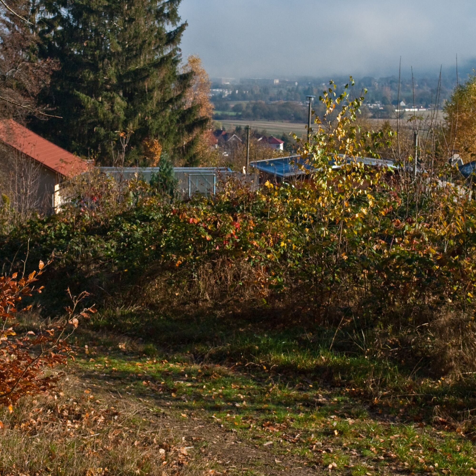
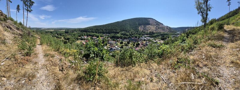
Starting at Blockhaus, you reach the Rocky Mountain via the White Path and a former firebreak below the Schlossberg. If you start at Tobiashammer, shortly after crossing the B247, you reach the firebreak next to the railway tracks. The rocky and steep ascent leads along the east slope of the mountain to the Gotha Club Hut. Around the hut, you have an impressive view of the damage caused by bark beetles, drought, and storms in the Thuringian Forest. At the same time, you can also see how the forest has been restored to resilience and still economically managed for years through planting. Over the Rocky Mountain and Lindenstein you reach the Scherershütte inn. The path continues through the "Ungeheures Valley" with a short but steep ascent at Knöpfelsberg to the "Beautiful View." Over the Staff Bushes and Lawn Pond you then reach again the Blockhaus or via the White Path the Tobiashammer.










Blockhaus - White Path - Schlossbergweg - Rocky Mountain - Gotha Club Hut - Rocky Mountain - Lindenstein - Scherershütte Forest Inn - Ungeheures Valley - Knöpfelsberg - Beautiful View - Knöpfelsberg - Staff Bushes - Birch Path - Lawn Pond - Blockhaus
Sturdy footwear
Rainwear
First aid kit
GPS device / smartphone
Beverages
optional trekking poles
The steep ascent to the Gotha Club Hut passes through a bark beetle region. There are sometimes deep tracks from logging vehicles. Forestry work with large machines is constantly underway. Accordingly, caution is advised here.
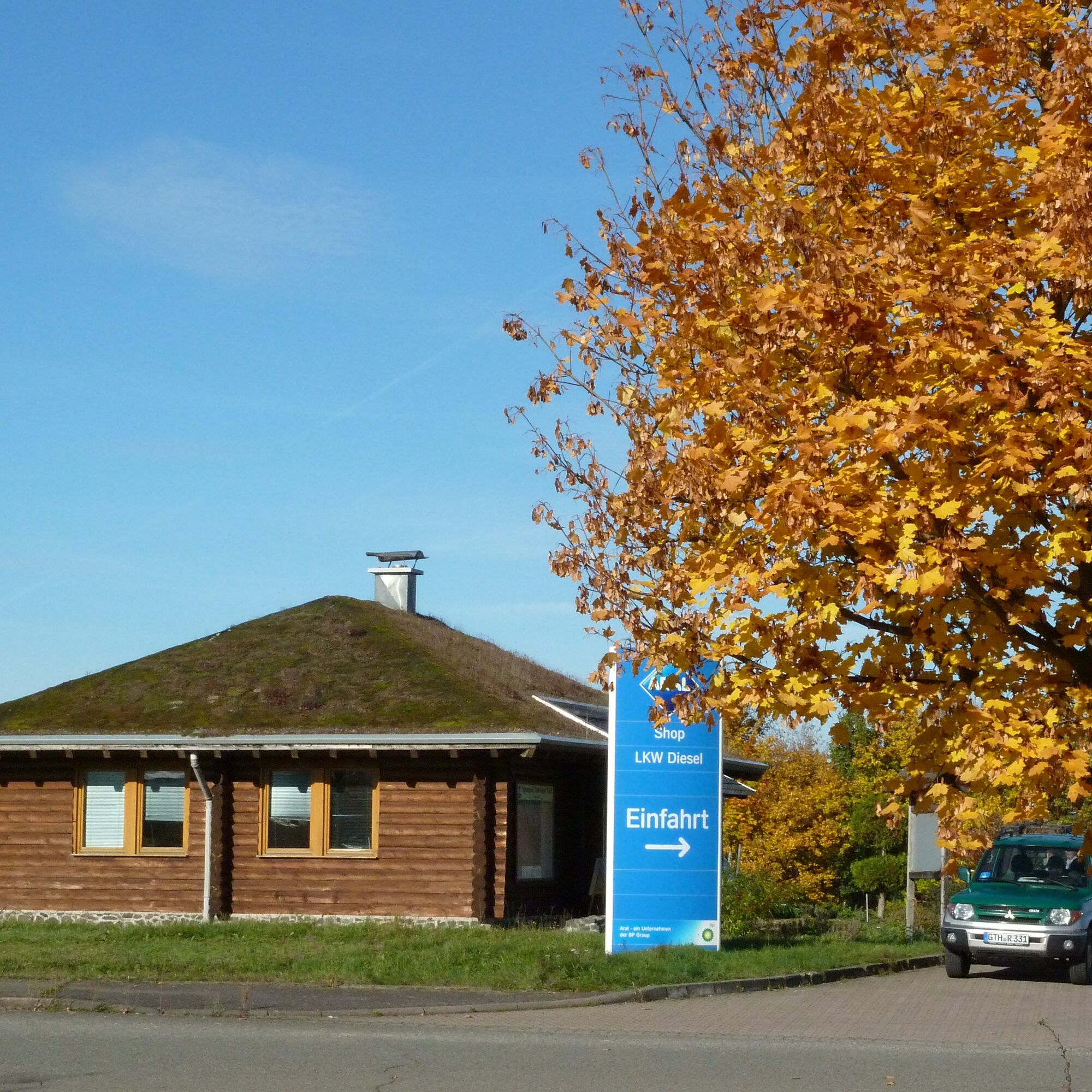
B88 and B247 to Aral gas station, Blockhaus
B247 to Tobiashammer
A4 exit Gotha, B247 towards Ohrdruf
A71 exit Gräfenroda, B88 towards Ohrdruf
You can reach Ohrdruf by bus line 860 to the stop Suhler Straße or Tobiashammer, and you also have a connection to the train in Gotha
Free parking at Blockhaus with charging station (Google NAV point)
Free parking at Tobiashammer (Google NAV point)
T1
View from the Gotha Club Hut to Luisenthal



Popularne wycieczki w okolicy
-
4,3
Rund um die Ohratalsperre
światłoWędrówka 14,5 km -
4,4
Circular hike "Old Tambach Dam", Tambach-D., Thuringian Forest
średniWędrówka 8,33 km -
3,8
Wanderung zum Spitterfall
średniWędrówka 14,6 km -
4,8
Circular hike - Schmalwasser reservoir - Tambach-Dietharz - Thuringian Forest
średniWędrówka 13,8 km -
4,0
Circular hiking route "Oberschönauer Felsenwanderung" - Steinbach-Hallenberg - Thuringian Forest
ciężkiWędrówka 12,0 km -
4,0
Zu den Schanzen im Kanzlersgrund
średniWędrówka 9,58 km -
4,0
Arnstadt - Bittstadt - Holzhausen - Haarhausen
średniWędrówka 20,1 km -
4,5
Circular hike to Bärenstein & Pfanntalsteich
średniWędrówka 9,10 km -
4,2
TOP 5 - circular hiking route - "Forsthaus Sattelbach" - Oberhof
światłoWędrówka 3,67 km -
4,0
Bach-Rad-Erlebnisroute
średniJazda na rowerze 64,5 km

Wędrówki i tropienie


Nie przegap ofert i inspiracji na następne wakacje
Twój adres e-mail została dodana do listy mailingowej.





