






Berkach - Grabfeld - circular route
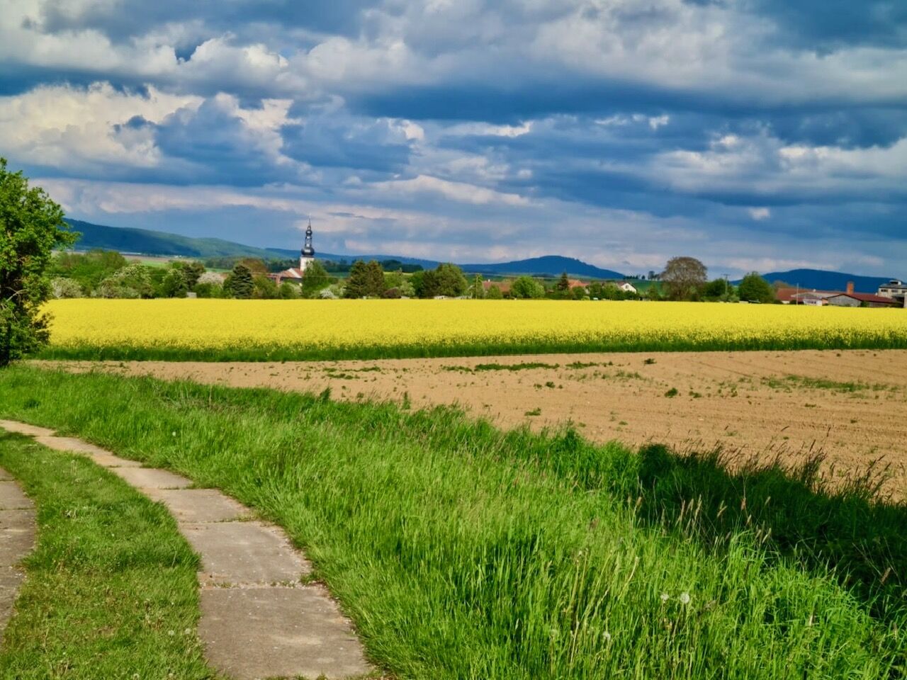
The Berkach circular hiking route is a varied route through the history and nature of the Grabfeld region.
It starts at the Wirtshausplatz in the village center and leads west along Mühlfelder Straße....
The Berkach circular hiking route is a varied route through the history and nature of the Grabfeld region.
It starts at the Wirtshausplatz in the village center and leads west along Mühlfelder Straße. Then it follows the paved path to the former inner-German border. From here, there is a splendid view of Schwickershausen and its reservoir. The path follows the paved path to the right to the forest road intersection, where you turn right again and after about 100m turn right again to reach the creek Grüne. From here, an alternative detour to the reservoir rest area is possible, or you can return directly to Berkach along the farm road.

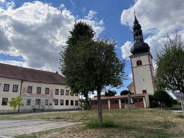
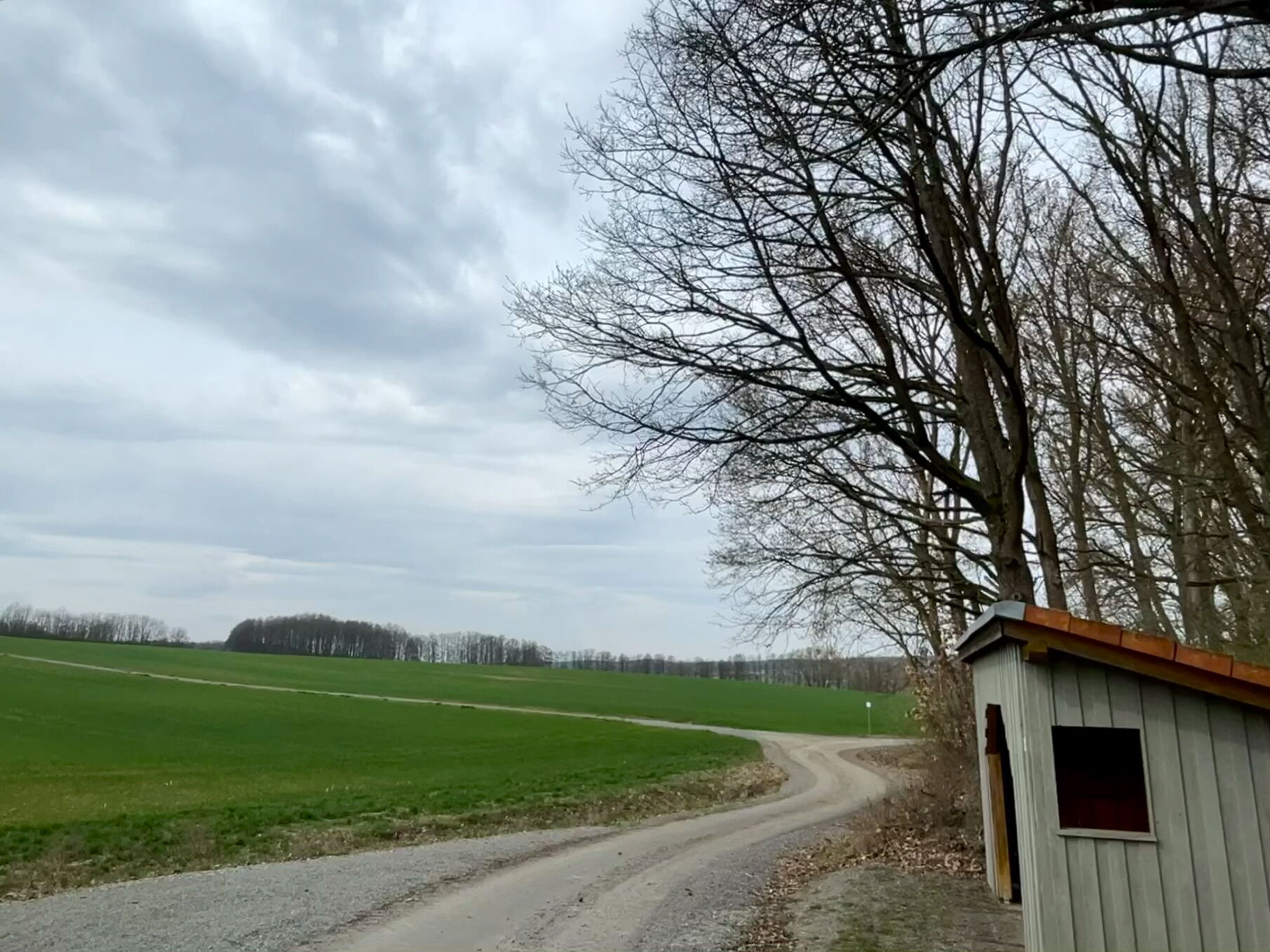
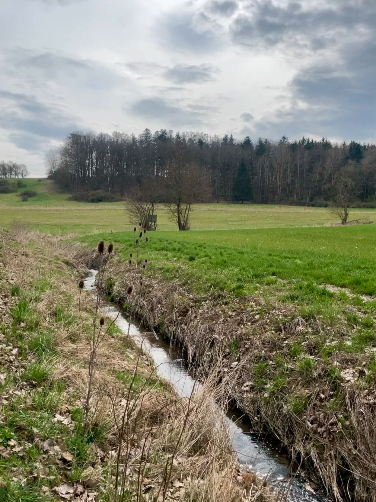
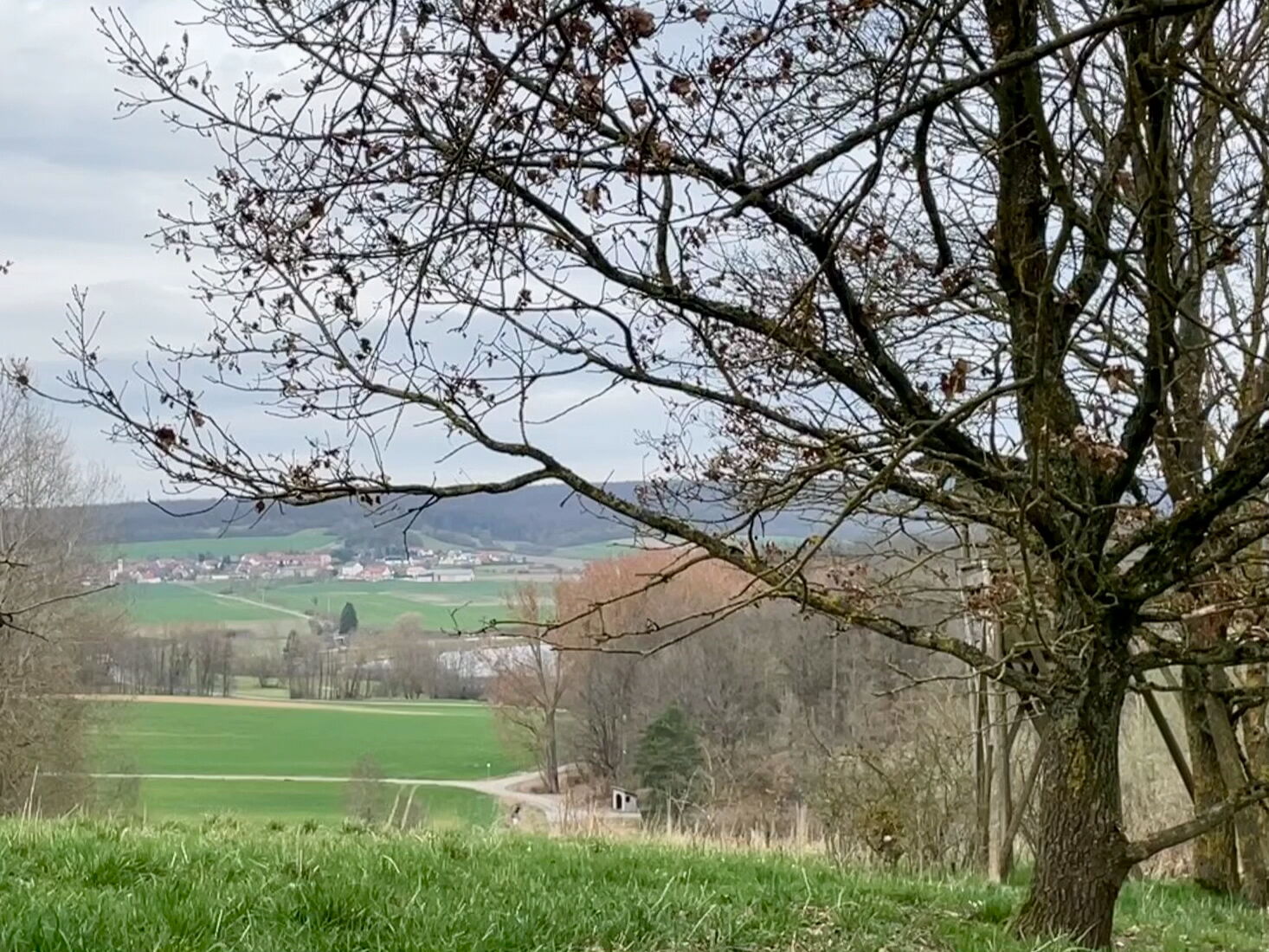
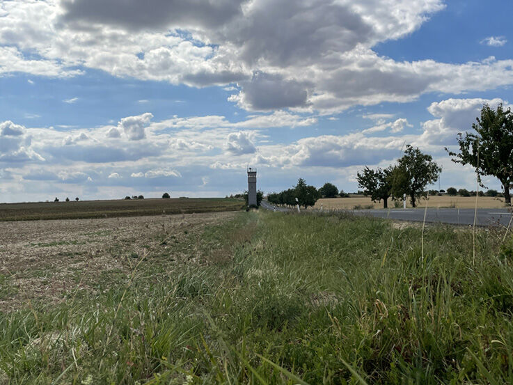
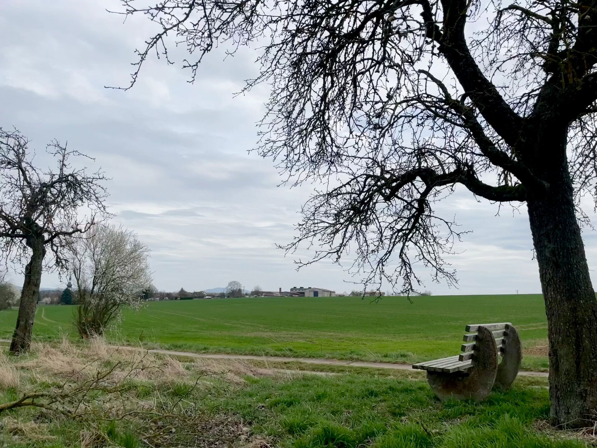
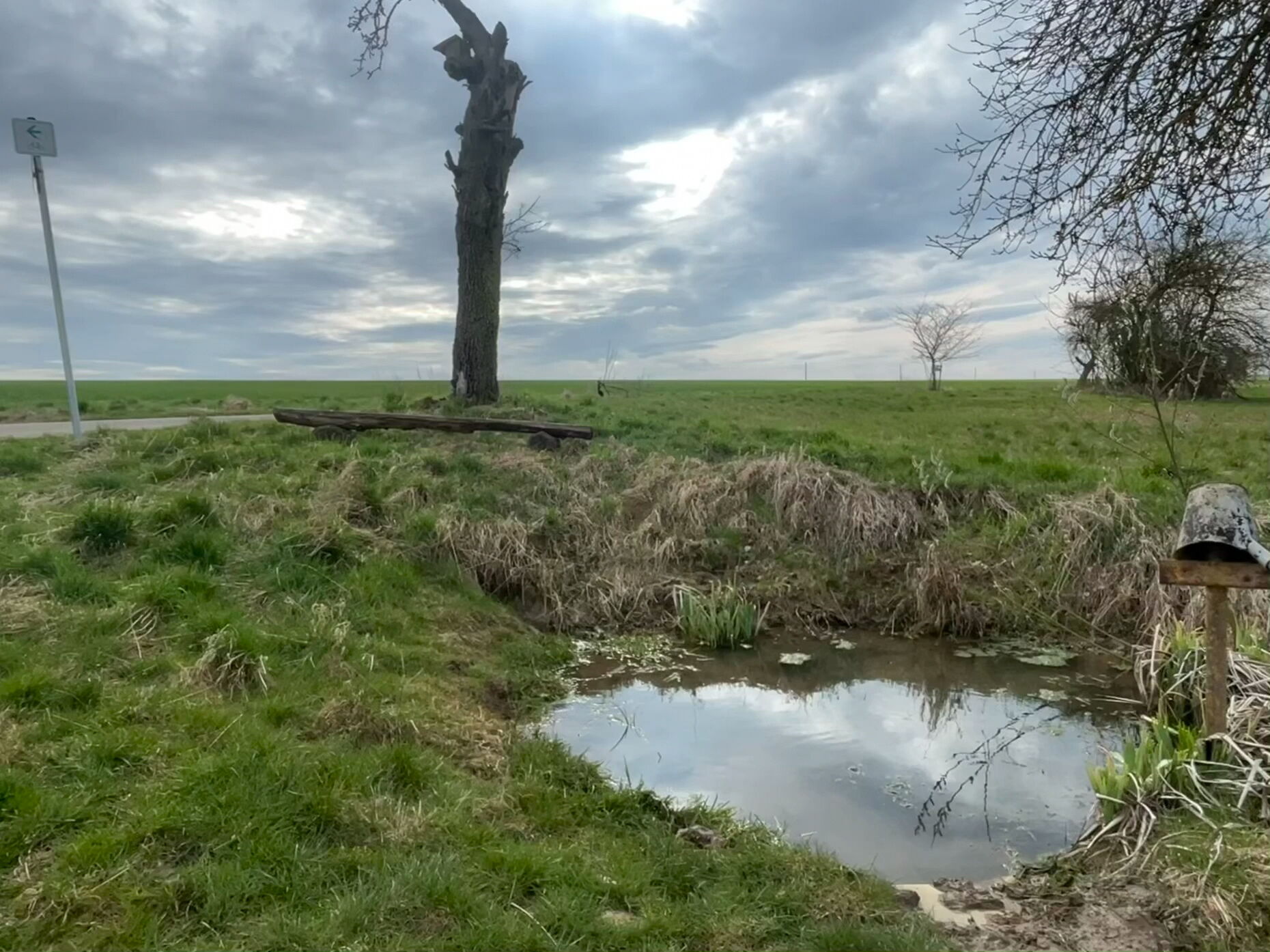
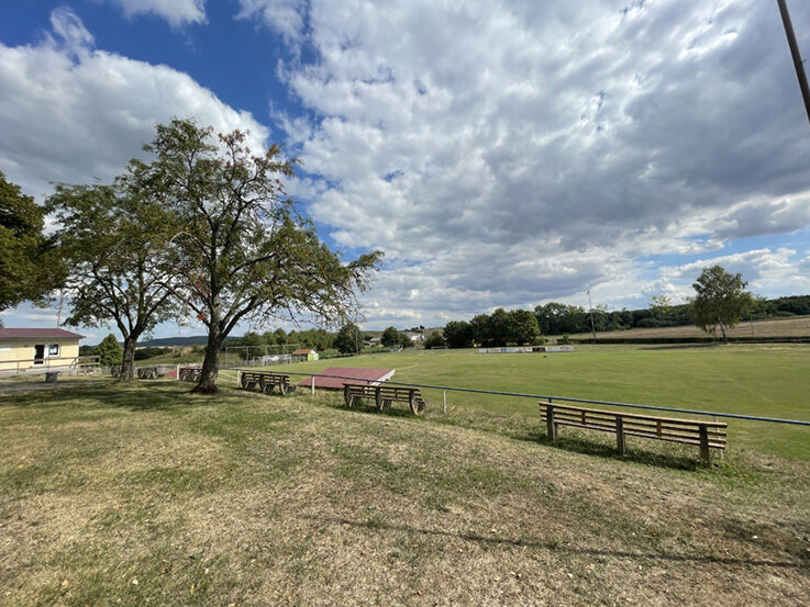

Berkach Wirtshausplatz at the church - Mühlfelder Straße circular route - Grabfeld - Berkach Wirtshausplatz at the church (Google - NAV point)
In Berkach we have a beautiful hiking route that leads us to the remarkable synagogue and through wide fields and meadows, offering very beautiful views of our Grabfeld landscape.
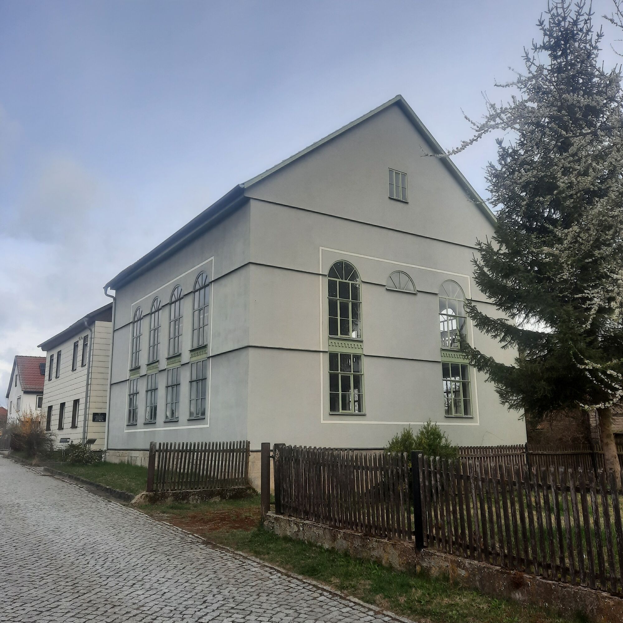
You can start the hike at the Wirtshausplatz in the village center. From here, the route leads westwards along Mühlfelder Straße. You pass the synagogue, which was solemnly inaugurated in 1854 with the adjoining school building.
The synagogue housed a Torah ark with six Torah scrolls. During the November pogrom of 1938, the synagogue remained undamaged. In 1939, under pressure, the Jewish community of Berkach sold it to the political municipality, which sold it in 1942 to the Savings and Loan Association. From 1949, the former synagogue was used as a storage room and smithy by the Association of Mutual Agricultural Aid (VdgB) and later by the Agricultural Production Cooperative (LPG).
From 1990, under the direction of the monument preservation office, the synagogue was extensively renovated. On November 3, 1991, the building was re-inaugurated as a synagogue by the Hessian state rabbi Chaim Lipschitz in the presence of the then President of the Bundestag Rita Süssmuth.
Behind Berkach begins a paved path, which the route follows to the former border. Upon arrival, there is a beautiful view of Schwickershausen with its reservoir. Here you must turn right towards the lake but initially follow the paved path to the next forest road intersection. Here, turning right again, you soon reach the farm road at the creek Grüne, from which the southern shore of the lake is only a few meters away and always worth a detour.
However, the route turns right again, follows the creek Grüne shortly before Berkach, and meets the main road at the village entrance sign. It then follows this again to the Wirtshausplatz.
Tak
Tak
Sturdy footwear
Rainwear
First aid kit
GPS device or smartphone
Drinks
Be aware of the typical dangers of the forest! Enter it at your own risk! We wish you a relaxing and eventful hike!
Via A71 to exit 23 Rentwertshausen towards Behrungen (turn left from the highway exit onto L2627)
Drive straight through Rentwertshausen to Nordheim.
Turn left in Nordheim and continue through Nordheim to Berkach.
At the intersection before the bus stop, turn half-left and drive uphill to the castle square. Free parking is available here.
From here, walk about 100m to the right past the church to the "Wirthausplatz," the starting point of the circular route.
Via L3019 from Meiningen or Mellrichstadt:
In Henneberg, turn left or right and via Einödhausen, Schwickershausen to Nordheim.
Turn right in Nordheim, continue through Nordheim to Berkach.
Via L2686 from Hildburghausen via Römhild to Rentwertshausen,
then on to Nordheim and Berkach.
You can reach Berkach by Deutsche Bahn to Meiningen station, then take bus lines 400/405 of the Meininger Busbetriebs GmbH (MBB) via Ritschenhausen - Bibra - Rentwertshausen to Nordheim.
You can park for free at the castle square. (Google - NAV point)
Popularne wycieczki w okolicy
-
5,0
Celtic circular trail - Vachdorf
światłoWędrówka 7,56 km -
5,0
"On the Celtic Experience Trail" - Vachdorf-Wachenbrunn - Hike
średniWędrówka 14,8 km -
Circular hike - Ring path Meiningen - Werra Valley
ciężkiWędrówka 23,4 km -
Hike - from Meiningen to the Bakunin Hut (Rohr)
światłoWędrówka 5,79 km -
MDR Osterspaziergang 2026 Meiningen: Panoramatour über Dreißigacker
ciężkiWędrówka 14,4 km -
Hofteicher - Belrieth im Werratal - Rundwanderweg
średniWędrówka 10,2 km -
Water hiking on the Werra
średniKajak / Canoe 22,7 km -
Kätzerode - Bibra - Grabfeld - Circular route
średniWędrówka 8,66 km -
Schwickershausen reservoir family hiking route - Grabfeld
średniWędrówka 6,69 km -
Eichelberg circular route over Klauenberg
średniWędrówka 6,46 km
Wędrówki i tropienie


Nie przegap ofert i inspiracji na następne wakacje
Twój adres e-mail została dodana do listy mailingowej.





