


Schwickershausen reservoir family hiking route - Grabfeld
Experience the natural beauty of the Schwickershausen reservoir! Start your hike from Rentwertshausen and follow the picturesque path which is 90% asphalted along the Alte Weinstrasse. The path leads past...
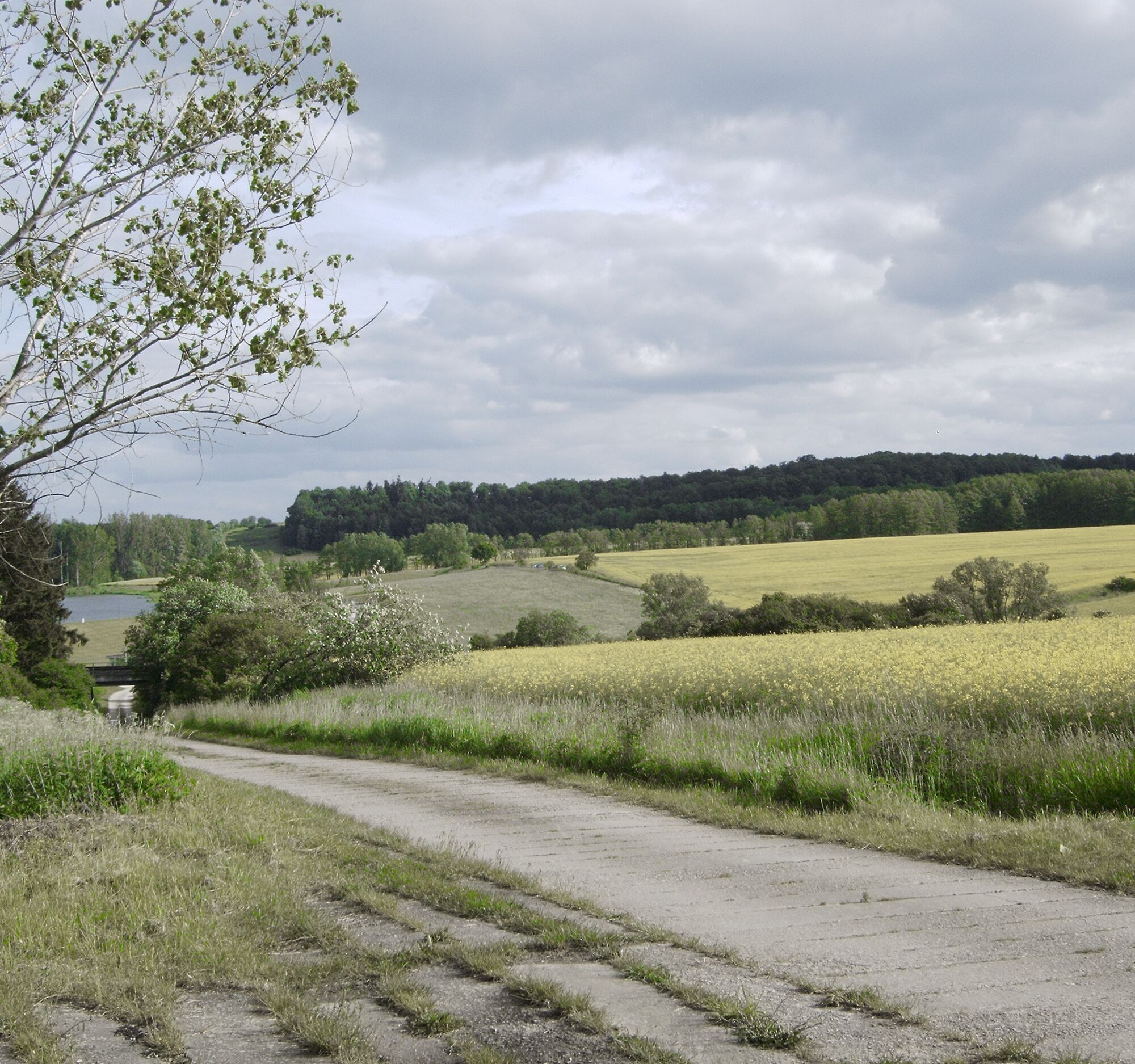
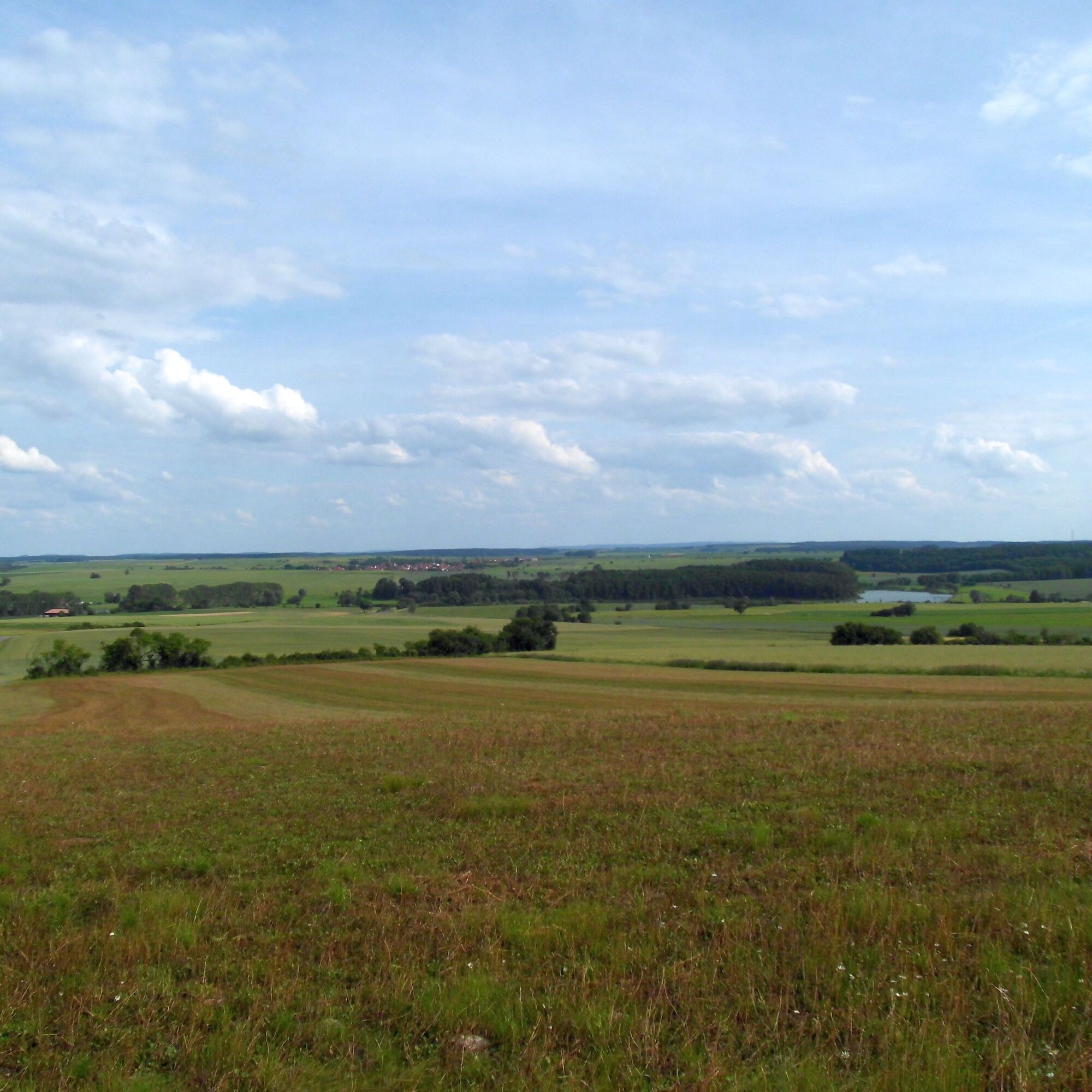
Experience the natural beauty of the Schwickershausen reservoir! Start your hike from Rentwertshausen and follow the picturesque path which is 90% asphalted along the Alte Weinstrasse. The path leads past charming views and offers free parking options. Along the way, you can rest at a bench or shelter before reaching the idyllic reservoir. Relax at the covered rest areas and enjoy a picnic in the midst of nature. The return path to the Schwickershausen bus stop leads over a well-paved slab path, perfect for families with prams. From there, you can return to the starting point along a field path or the main road. Be mindful of traffic when crossing the main road between Nordheim and Schwickershausen. Enjoy the peace and beauty of this enchanting walk around the Schwickershausen reservoir!

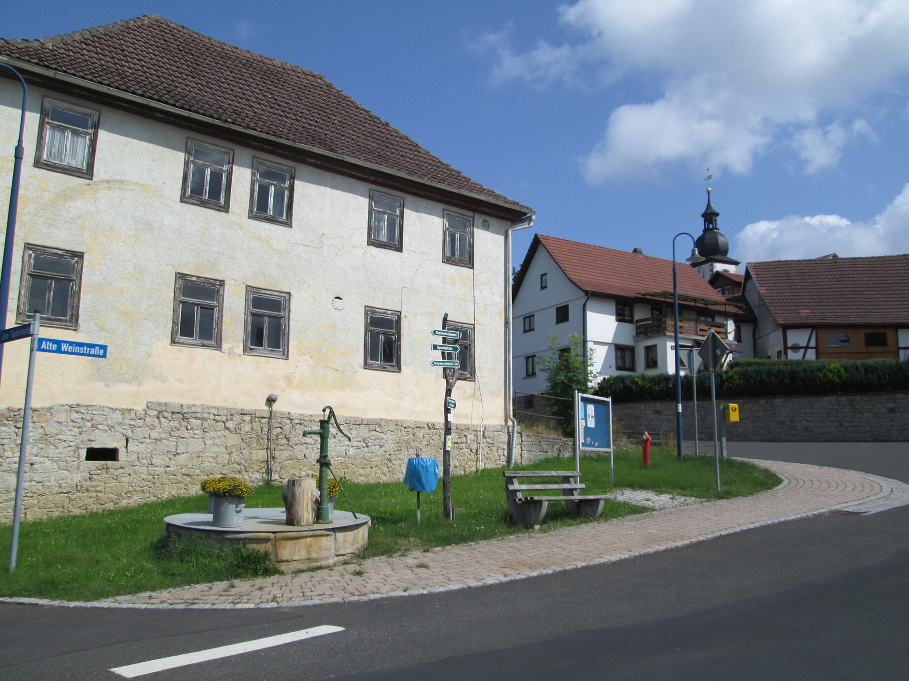
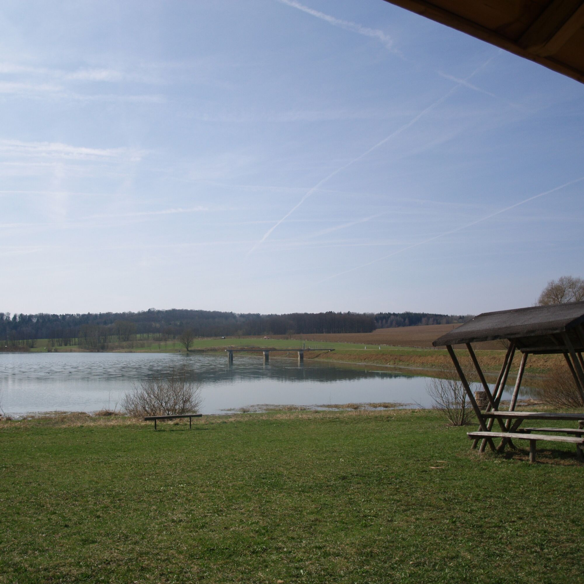
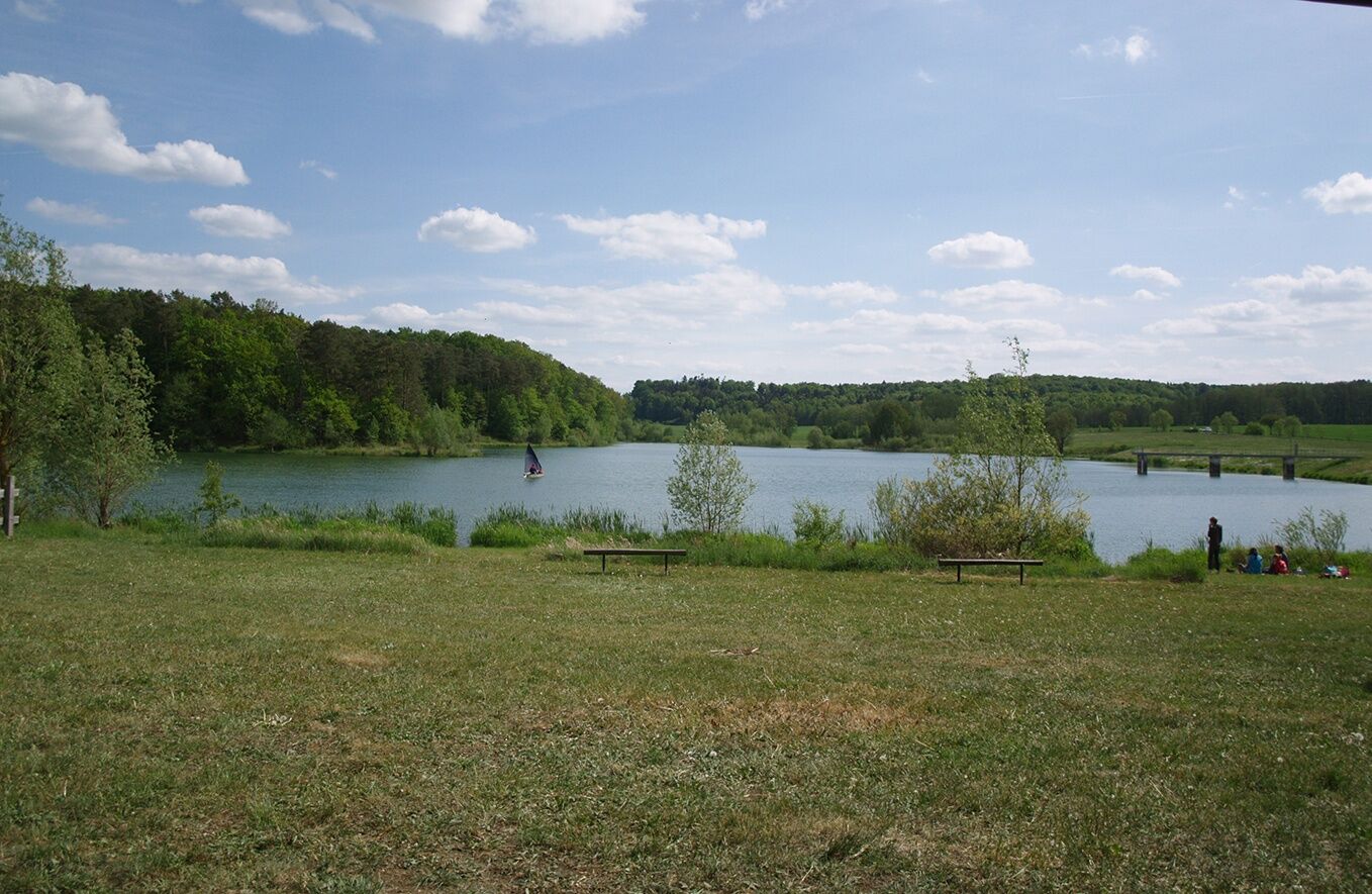
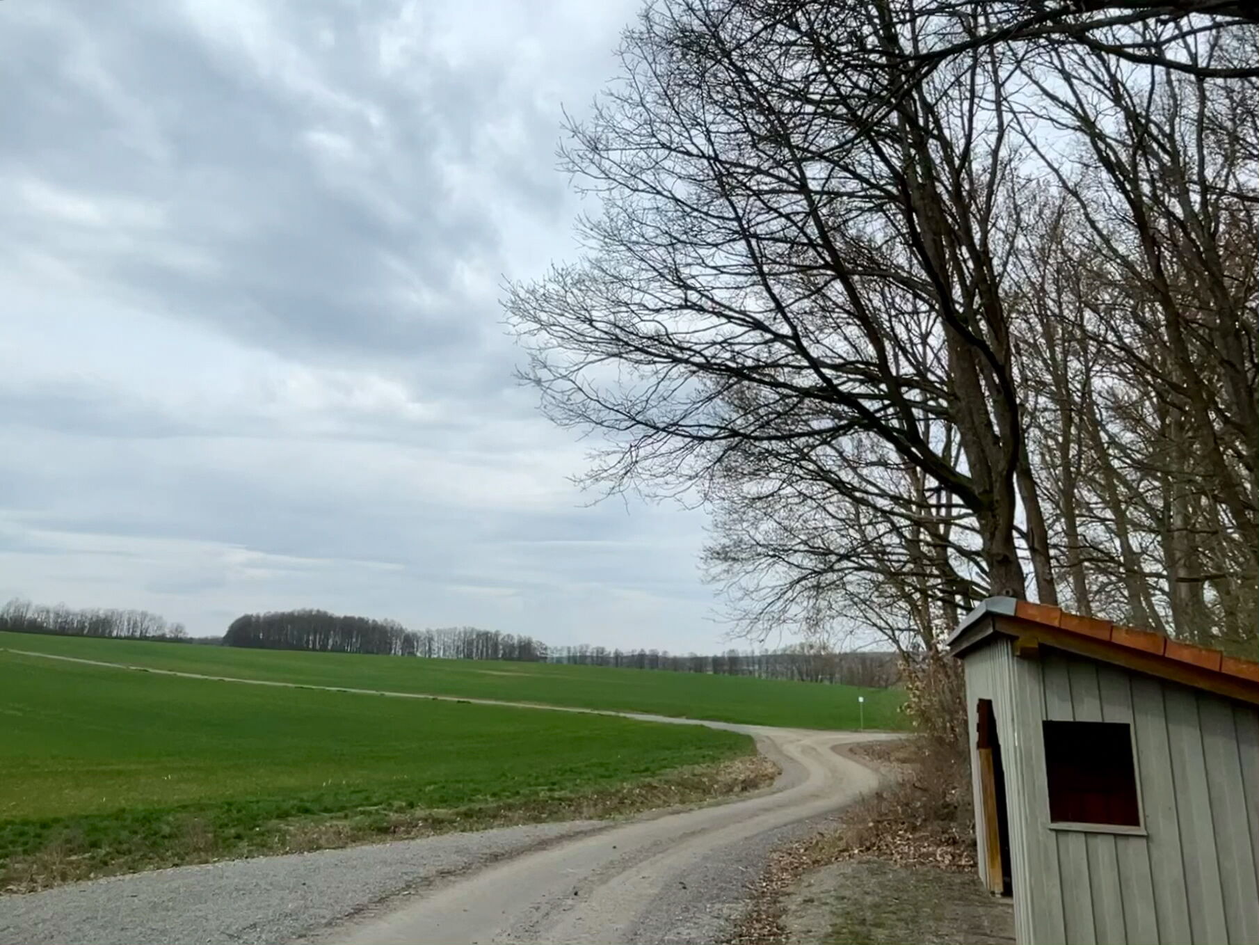
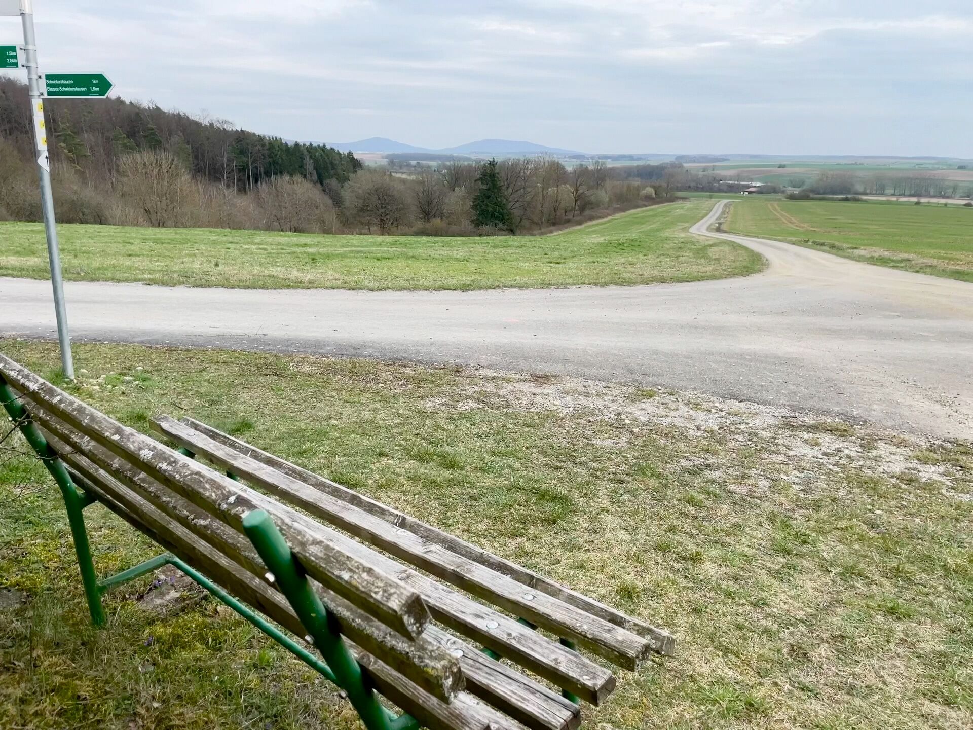
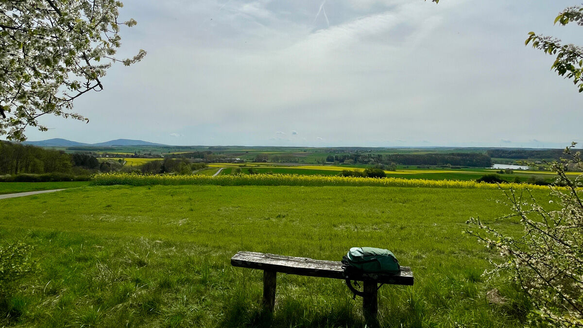
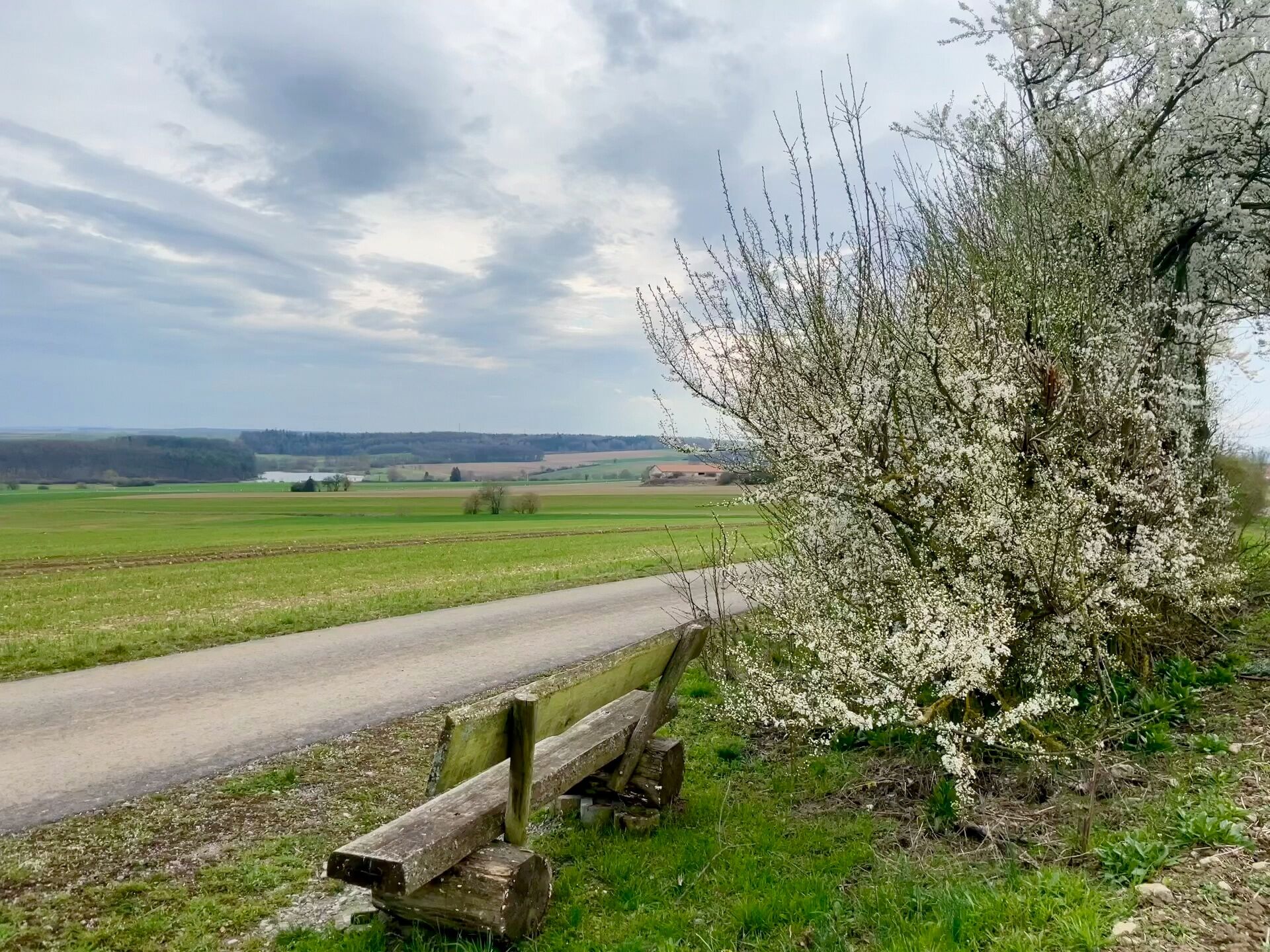
The starting point is reached by turning right into Alte Weinstrasse at the first intersection coming from Rentwertshausen, after about 100 m. Free parking is available here. From here, the asphalted hiking trail leads to the next intersection and then turns right. After another approx. 200 m, it turns right again and runs directly downhill to the reservoir. It should be noted that the hiking trail crosses the main road between Nordheim and Schwickershausen, so watch for traffic. The path continues by always staying on the right until you reach just before Berkach. Here it practically continues to the right behind the reservoir. On the way to the reservoir, there is a bench and a shelter.
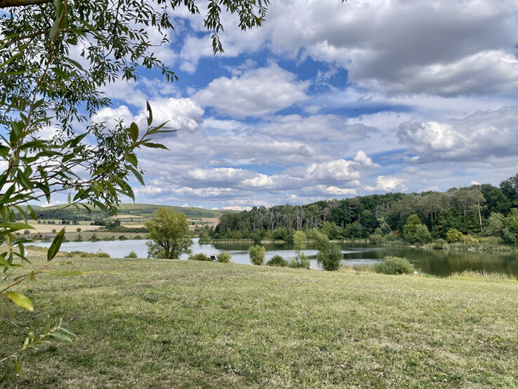
On arrival at the reservoir, you can take a good break and picnic at the covered rest areas.
The path from the reservoir to the Schwickershausen bus stop runs over a slab path, which is however easy to walk on.
From the bus stop, after about 100 m go right via a field path or along the main road and turn right again at the intersection to return to the starting point at the sports field.
Tak
light backpack
drinking water
first aid kit
GPS navigation device or smartphone
Be careful of crossing road traffic. Sections of the path are part of the municipal cycle network, so attention should be paid to cyclists. When crossing the main road to the reservoir, watch for traffic.
Via A71 to exit 23 Rentwertshausen towards Behrungen (turn left onto L2627 from the motorway exit)
Straight through Rentwertshausen to Nordheim.
Turn right in Nordheim towards Schwickershausen.
In Schwickershausen, follow the main road (Alte Weinstrasse) to the first intersection, turn right and after about 200 m to the sports field,
the starting point.
Via L3019 from Meiningen or Mellrichstadt:
In Henneberg turn left or right and follow the main road (Alte Weinstrasse) via Einödhausen to Schwickershausen until the intersection to Nordheim. Here straight ahead and after about 200 m to the sports field, the starting point.
Via L2686 from Hildburghausen via Römhild to Rentwertshausen.
Line 405 of the Meininger Busbetriebs GmbH (MBB), the bus stop is located in the town centre. The starting point is a 5-minute walk away.
Please use the Deutsche Bahn travel planner at this link to plan your trip and just enter your starting point and desired travel period:--> Arrival at Schwickershausen
Free parking at the starting point, the sports field.
You can enjoy excellent picnics at the reservoir by using the covered seating areas with tables.
Popularne wycieczki w okolicy
-
4,4
Circular hiking route - EXTRATOUR - The Meininger
średniWędrówka 10,8 km -
5,0
Celtic circular trail - Vachdorf
światłoWędrówka 7,56 km -
5,0
"On the Celtic Experience Trail" - Vachdorf-Wachenbrunn - Hike
średniWędrówka 14,8 km -
MDR Osterspaziergang 2026 Meiningen: Panoramatour über den Drachenberg
średniWędrówka 10,7 km -
Circular hike - Ring path Meiningen - Werra Valley
ciężkiWędrówka 23,4 km -
Hike - from Meiningen to the Bakunin Hut (Rohr)
światłoWędrówka 5,79 km -
MDR Osterspaziergang 2026 Meiningen: Panoramatour über Dreißigacker
ciężkiWędrówka 14,4 km -
Hofteicher - Belrieth im Werratal - Rundwanderweg
średniWędrówka 10,2 km -
Water hiking on the Werra
średniKajak / Canoe 22,7 km -
Kätzerode - Bibra - Grabfeld - Circular route
średniWędrówka 8,66 km
Wędrówki i tropienie


Nie przegap ofert i inspiracji na następne wakacje
Twój adres e-mail została dodana do listy mailingowej.