






Kätzerode - Bibra - Grabfeld - Circular route
Katzenlöcher
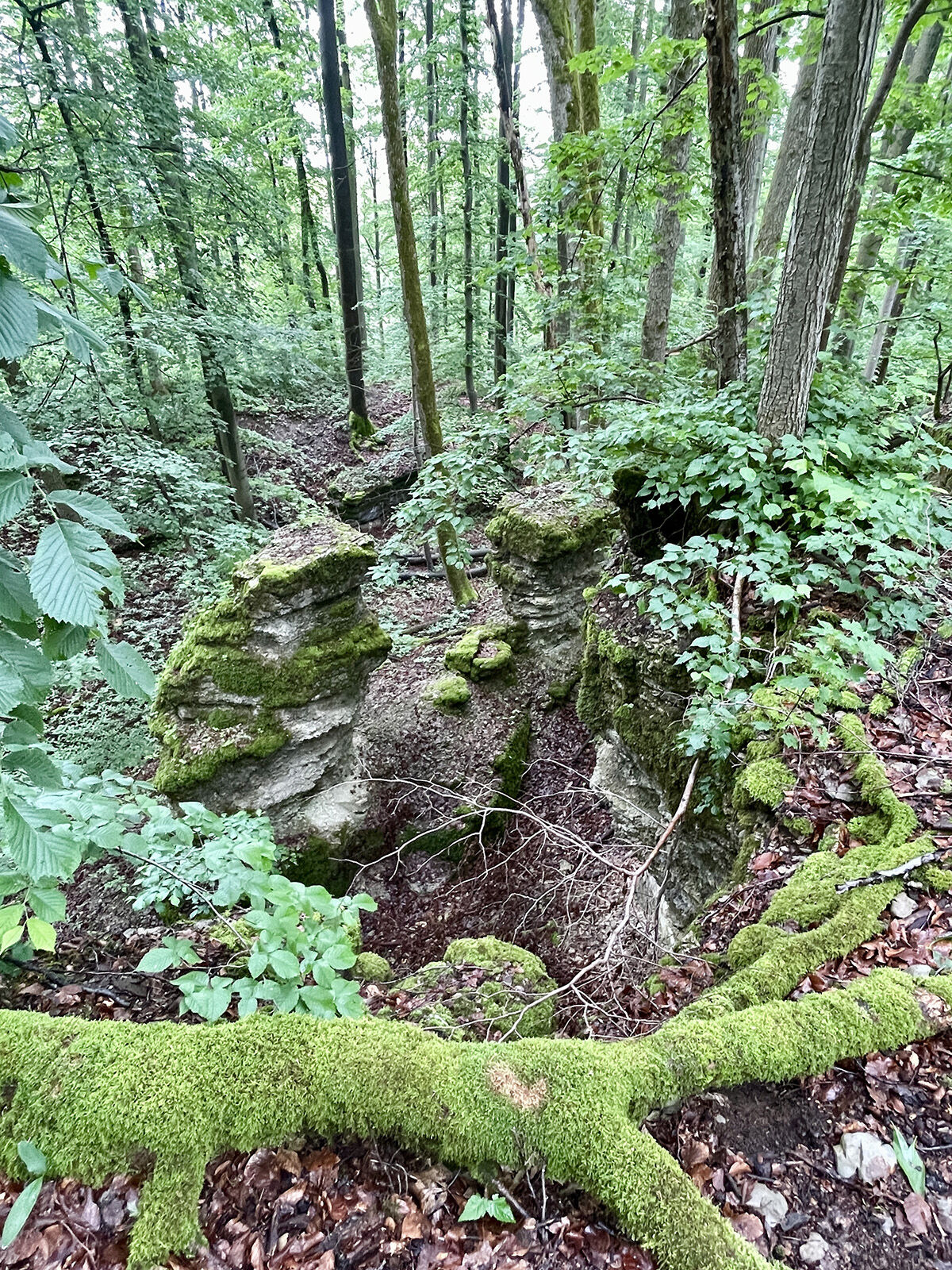
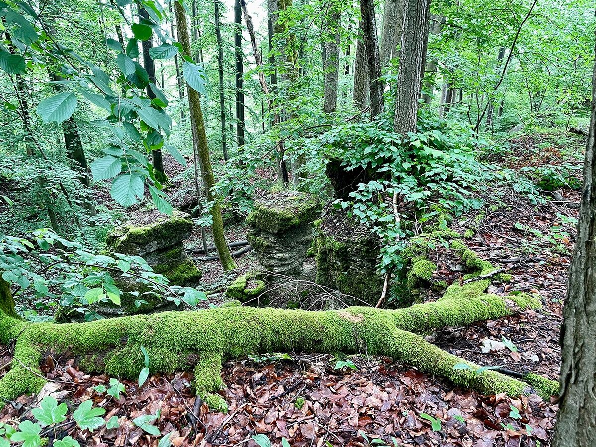
The Katzenlöcher are a rugged mountain ridge southwest of Kätzerode, with a height of 511 meters above sea level. Erosion has formed impressive cracks, crevices, and cavities over time. Mushroom...
Katzenlöcher
The Katzenlöcher are a rugged mountain ridge southwest of Kätzerode, with a height of 511 meters above sea level. Erosion has formed impressive cracks, crevices, and cavities over time. Mushroom shapes have developed from the limestone rocks, and although the rock weathering is considered remarkable natural beauty by some, they are officially not classified as a geological or archaeological monument. According to rural tradition, farmers brought their kittens here, and the wailing and whining could be heard, especially when the wind blew over the ridge. A dilapidated stone wall is said to be clearly recognizable as a remnant of an old protective fortress.
Kätzerode
Kätzerode, located at an altitude of 424 meters above sea level, was first mentioned in a document in 889 as Ketzerod and belonged to the Mark Nordheim. In the 16th century, it was owned by the Misses Siebenfreund of Würzburg and later fell back to the Count of Henneberg. In the 17th century, the Ungerecht and von Uttenhofen families acquired the property and built two stately residences. After various changes in ownership, Kätzerode was completely leveled in 1984 to prevent refugees from the GDR from finding shelter there.
Old Wine Road
The Wine Road, colloquially derived from "Woin" for wagon, was a medieval long-distance trade route that often led along pass areas. It was originally supposed to be called "Old Würzburg Road" and later got its name from the preferred transport goods, wine or salt. The road led to the salt bridge and further over Oberhof to Erfurt.
Cold Hole
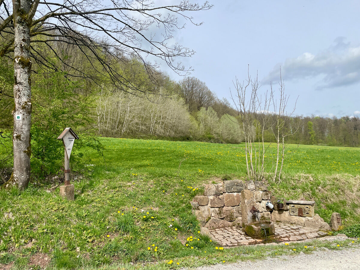
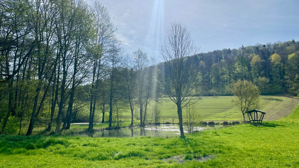
In the cadastral area Cold Hole, a new farm was established by a resettler family in 1945. The Zöller family, originally from Berkach, did not want to participate in collective farming and was therefore resettled in 1961 during the "Cornflower Action" to Brositz in the district of Grimma. The farm was later demolished after being abandoned until 1979.



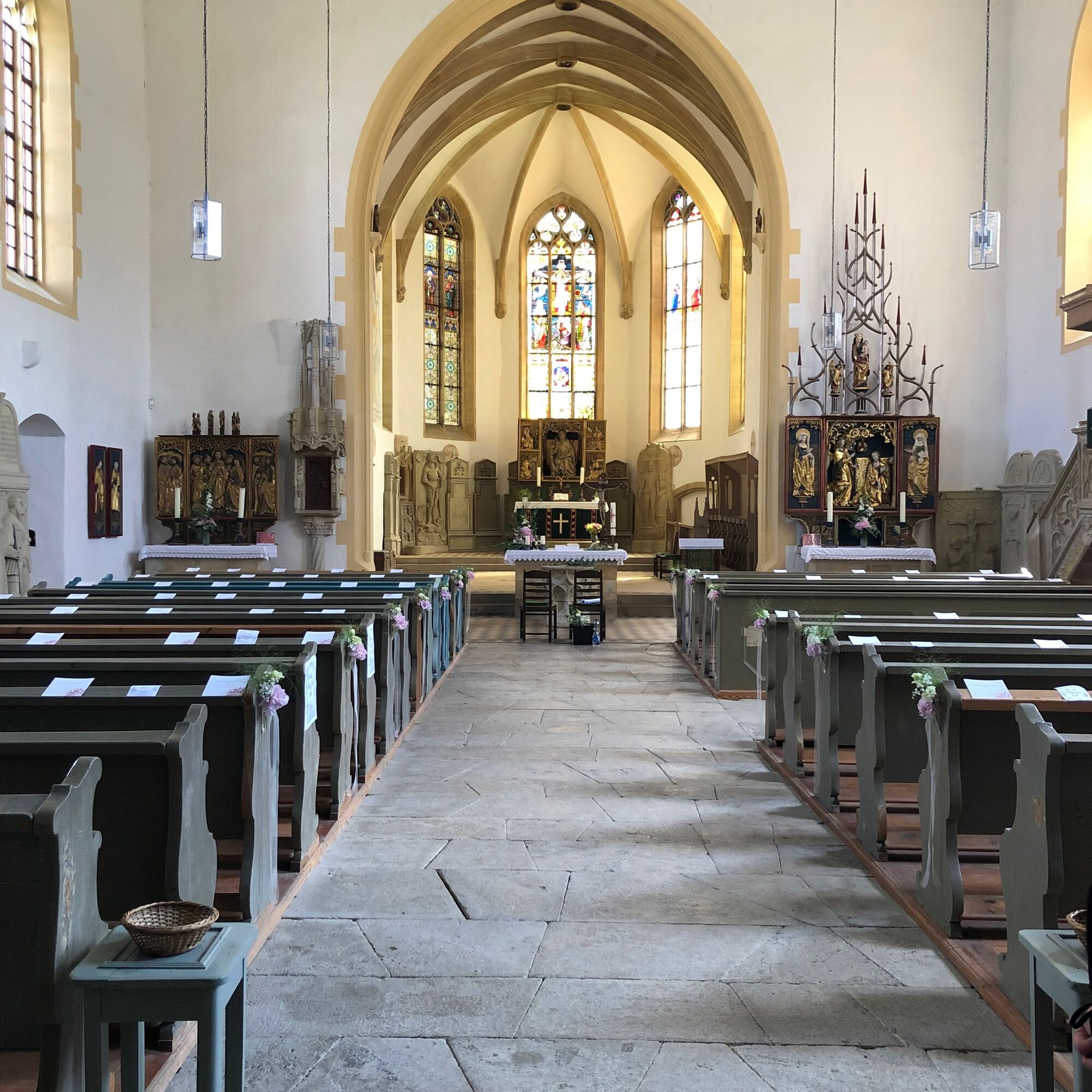


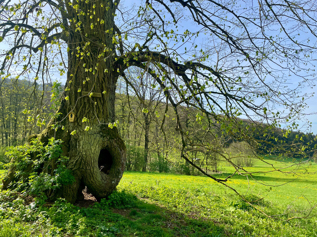
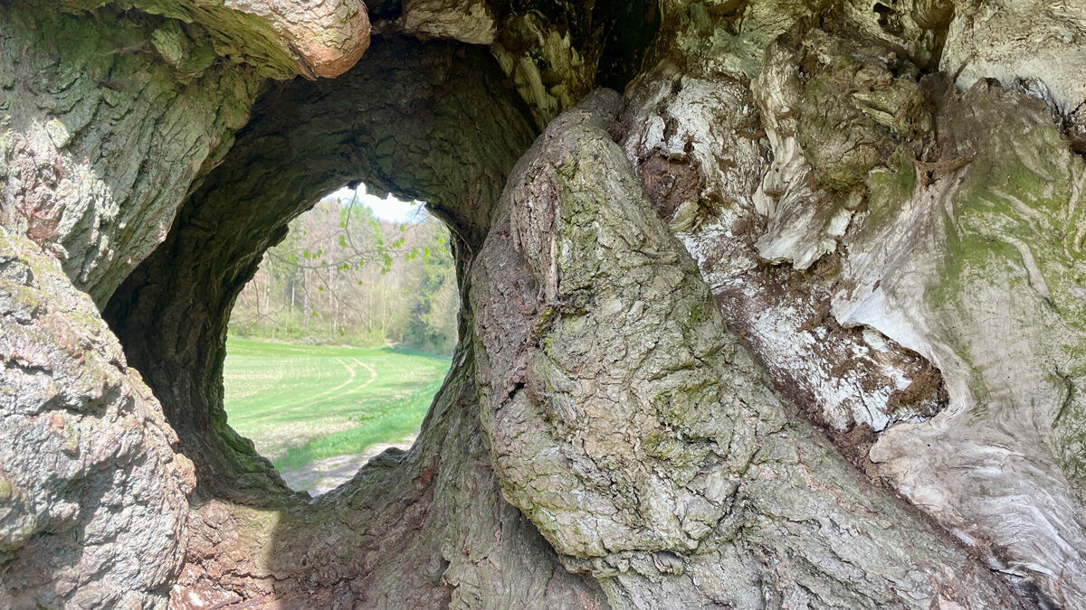



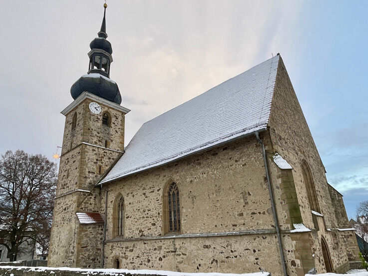
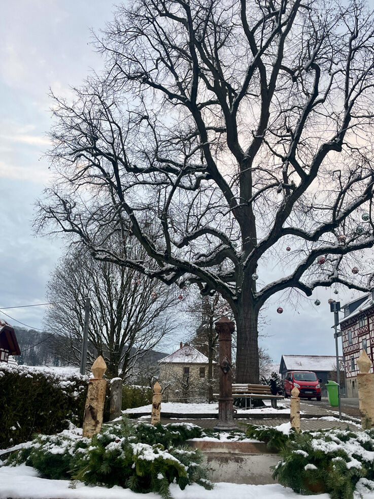
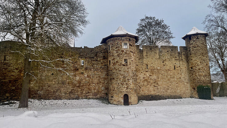

Start your hike at St. Leo Church and follow the path downhill between the parsonage and the church towards the new housing area. At the end of the village, an asphalt field path leads to the cow stables and the grain silo. From there, continue towards the forest.
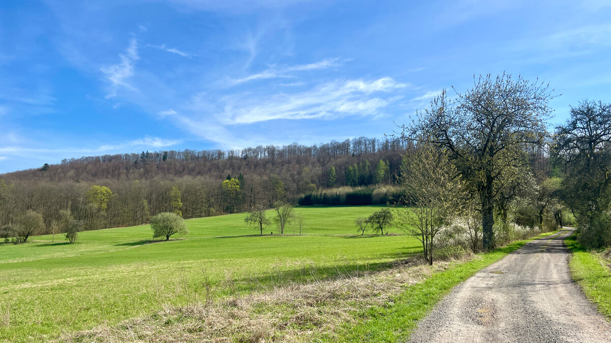
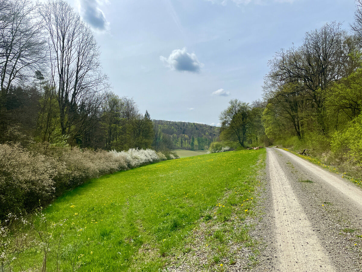
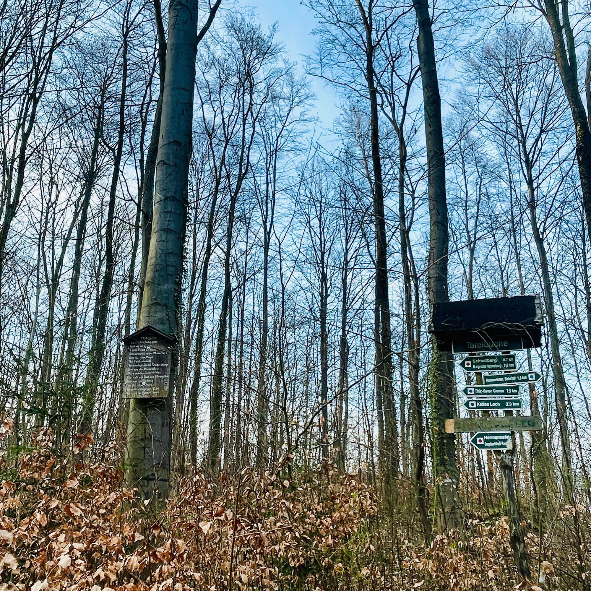
At the forest edge, turn right and follow the gravel path for about 2 km until it becomes a natural path. After about 400 m, turn left towards the main path Kätzerode. In Kätzerode, go right towards Bauerbach.
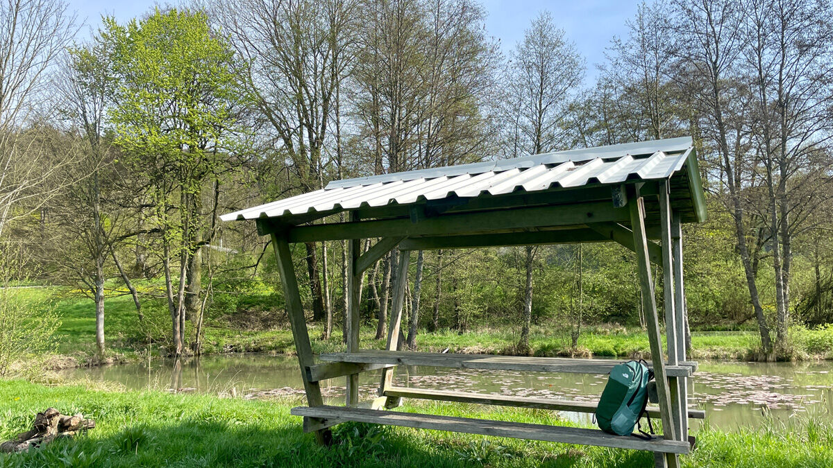
Follow the signpost "Old Wine Road" to the left towards Henneberg. After 200 m, a seating area (K) with an impressive painting awaits you. Then take the wide forest path towards the highest point, turn left at the seating area (N), and follow the path to the turnaround, then downhill to the right.
Approach the natural monument carefully (caution risk of falling (O)) and reach the "Green Table" (P). Descend steeply (caution slippery) to the "Cold Hole" (before the pond after P). Cross the meadow valley steeply uphill towards the other side of the forest to the "Federliebs Crossroads".
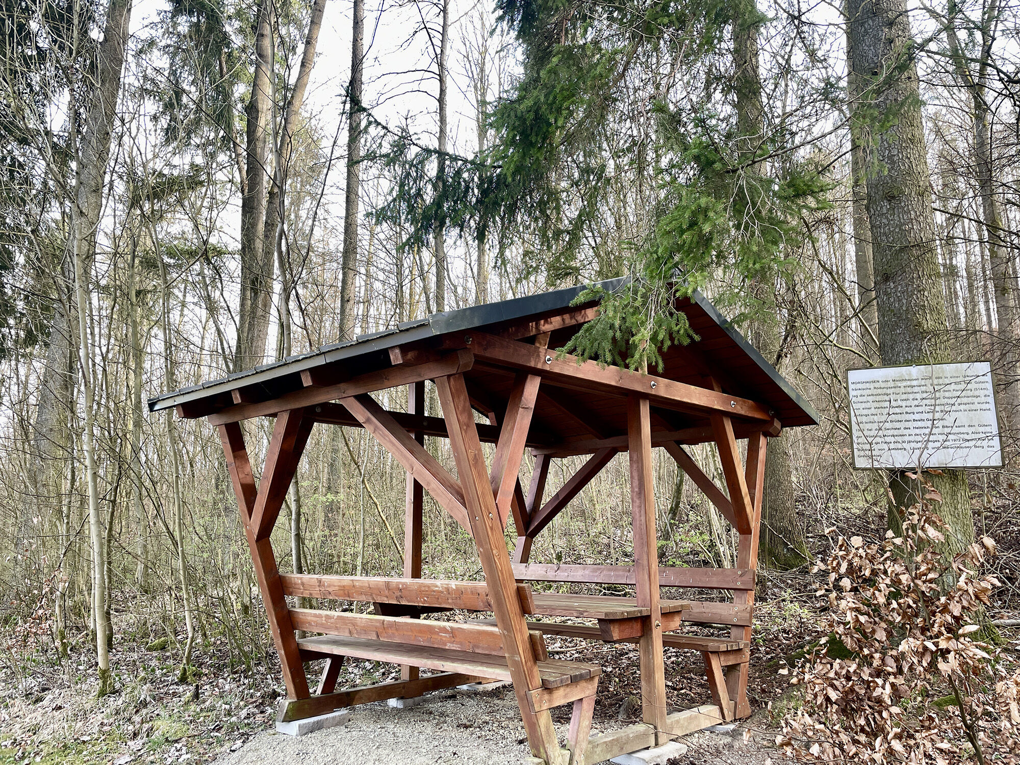
Follow the natural path to the ridge path "Nordheimer Waldhütte" and turn left towards Ransberg. Go downhill towards Bibra (R) and pass Marschhausen, a former settlement with a covered rest area.
Climb uphill towards the "Barrier" on the natural path to the ridge at Kammweg towards Bibra. Once at the top, turn left (S) past the "Ritterschlag" (T) and cross the meadow "Arnsberg Way".
Tak
Sturdy footwear
Light backpack
Drinking water
First aid kit
GPS navigation device or smartphone
Caution for crossing street traffic. Parts of the route are part of the municipal cycle path network, so cyclists should be watched out for.
Caution at the Katzenlöcher: Risk of falling!!!
Take the A71 to exit 23 Rentwertshausen towards Rentwertshausen / Bibra.
Turn left in the middle of the village.
From Meiningen via Untermaßfeld on L3089, at the intersection "Zwick" take the first exit to the right towards Ritschenhausen, Wölfershausen, Bibra.
Turn right in the middle of the village.
Line 406 of the Meininger Busbetriebs GmbH (MBB). The bus stop is located in the town center.
For travel planning, please use the Deutsche Bahn journey planner via this link and simply enter your starting point and desired travel period:--> Arrival at Bibra
Parking facilities are available on site (Google - NAV point)
Parking facilities are available on site: Kirchplatz Bibra (Google - NAV point)
Popularne wycieczki w okolicy
- 4,4
Circular hiking route - EXTRATOUR - The Meininger
średniWędrówka 10,8 km - 5,0
Celtic circular trail - Vachdorf
światłoWędrówka 7,56 km - 5,0
"On the Celtic Experience Trail" - Vachdorf-Wachenbrunn - Hike
średniWędrówka 14,8 km MDR Osterspaziergang 2026 Meiningen: Panoramatour über den Drachenberg
średniWędrówka 10,7 kmCircular hike - Ring path Meiningen - Werra Valley
ciężkiWędrówka 23,4 kmMDR Osterspaziergang 2026 Meiningen: Panoramatour über Dreißigacker
ciężkiWędrówka 14,4 kmHike - from Meiningen to the Bakunin Hut (Rohr)
światłoWędrówka 5,79 kmWater hiking on the Werra
średniKajak / Canoe 22,7 kmHofteicher - Belrieth im Werratal - Rundwanderweg
średniWędrówka 10,2 kmSchwickershausen reservoir family hiking route - Grabfeld
średniWędrówka 6,69 km

Wędrówki i tropienie


Nie przegap ofert i inspiracji na następne wakacje
Twój adres e-mail została dodana do listy mailingowej.





