







Hike - from Meiningen to the Bakunin Hut (Rohr)

The path starts at the castle park, passes the Henneberger House, built in 1895 and known for traditional Thuringian cuisine, and runs along the Bleichgräben through the town center. Past the park cemetery,...
The path starts at the castle park, passes the Henneberger House, built in 1895 and known for traditional Thuringian cuisine, and runs along the Bleichgräben through the town center. Past the park cemetery, a winding mountain path leads to the Donopskuppe ruin, from where you enjoy a wonderful view of Meiningen. After a short stretch along the outskirts of town, a path leads into the forest.
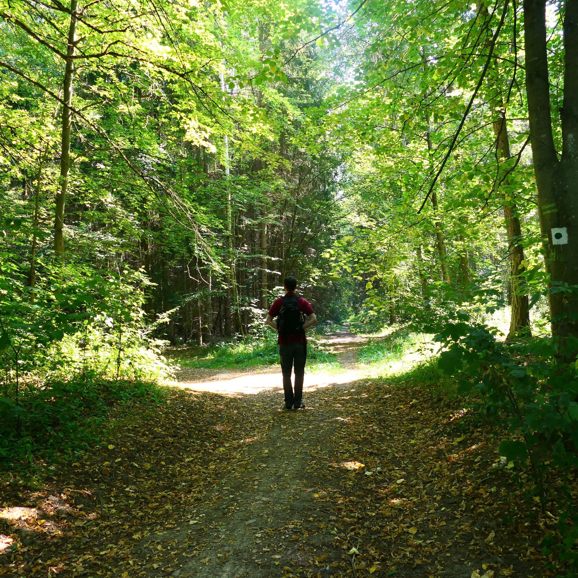
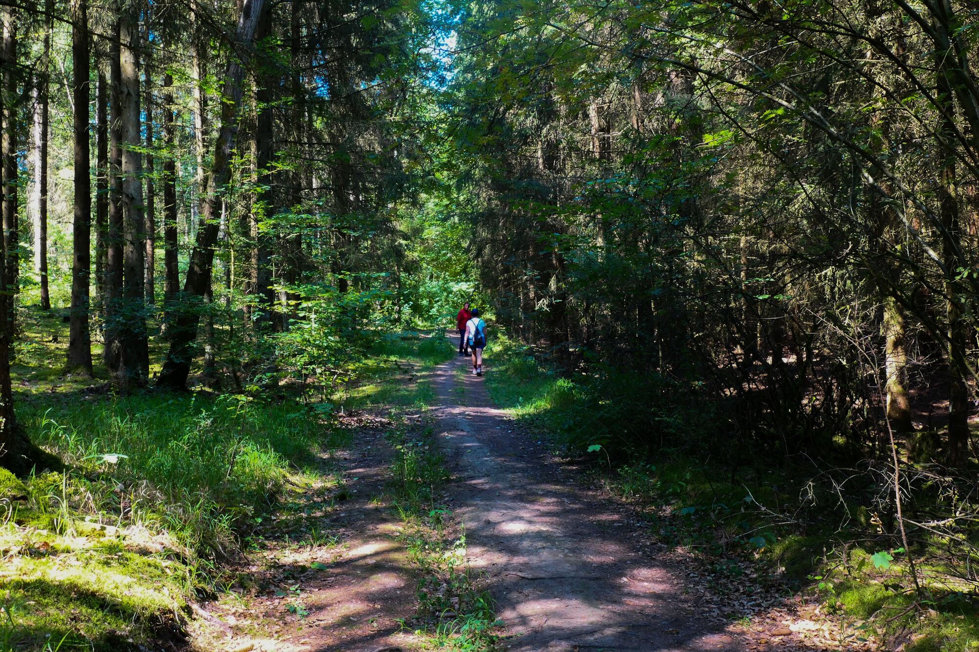
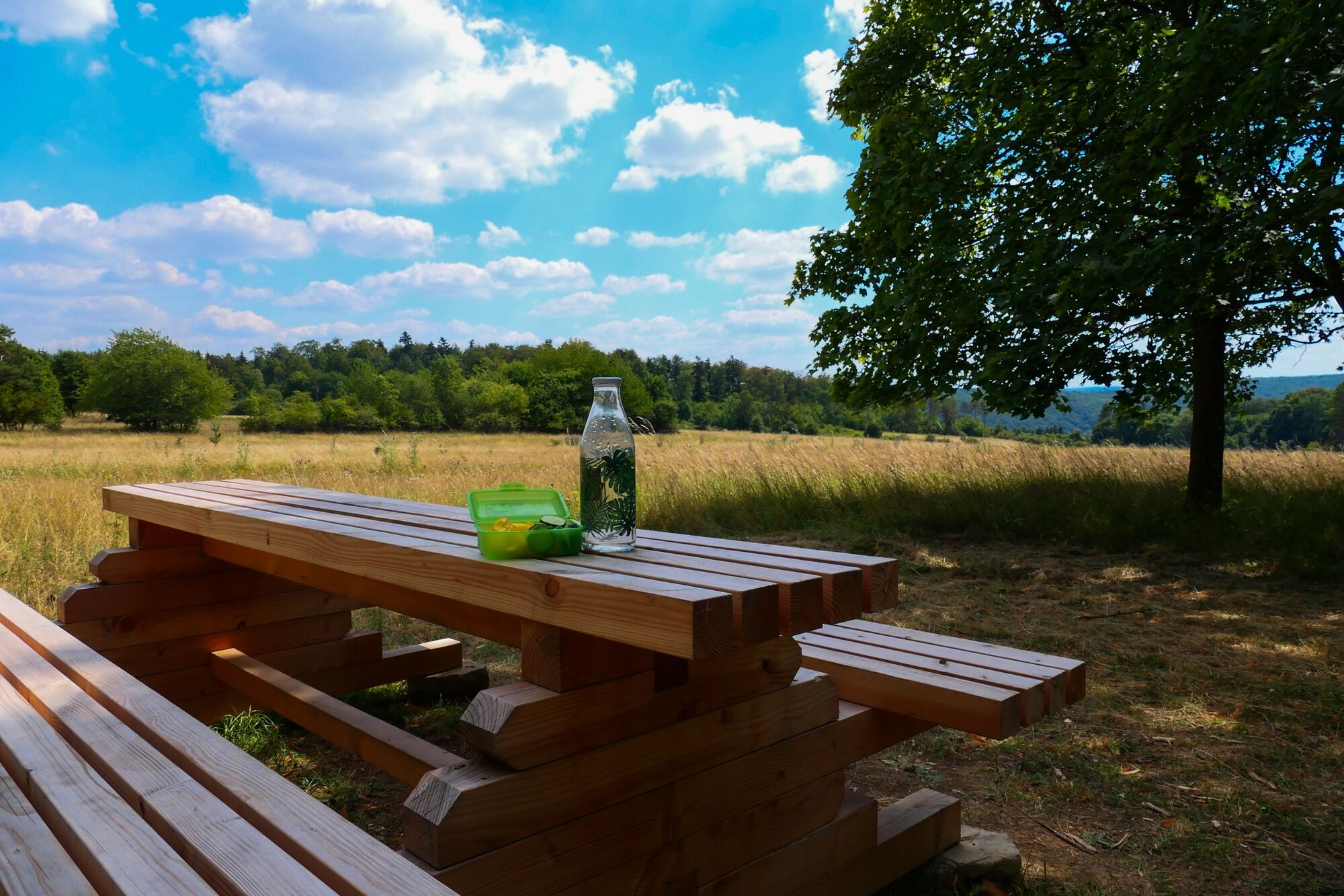
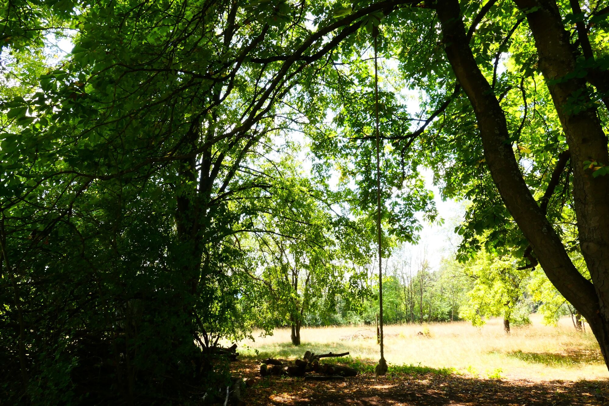
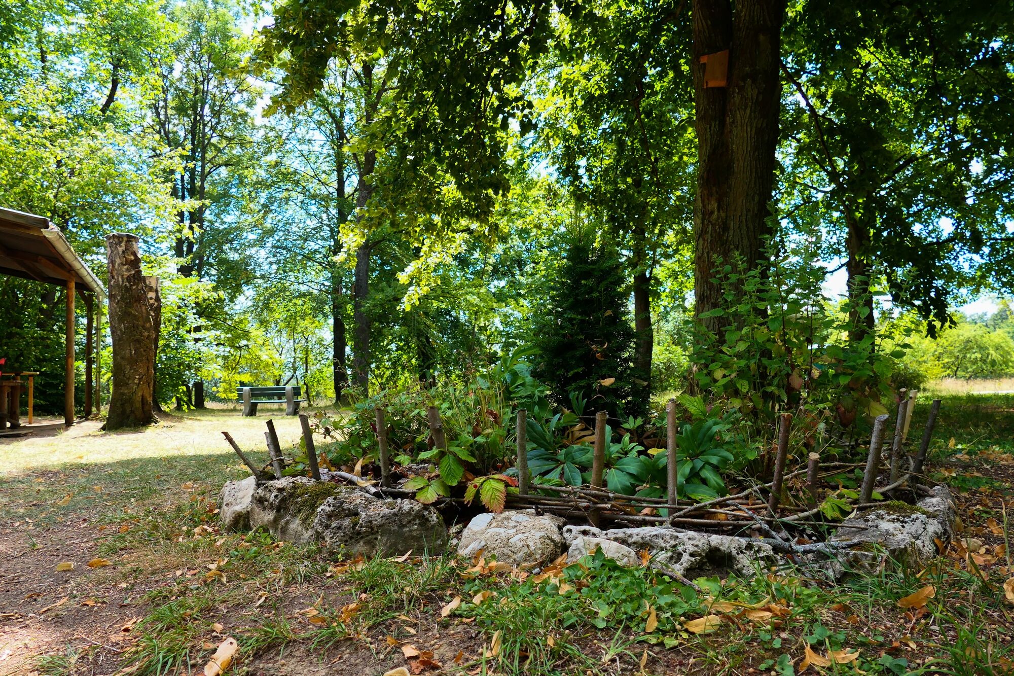
On pure forest roads, accompanied only by the natural sounds of the woods, the second half of the hike begins over quiet and sunny protected paths. After the Heinrich-Cotta Hut, a short meadow path follows and shortly after you see the Bakunin Hut, which invites you to linger. While the children occupy themselves with swings, the parents can enjoy the view over the Meiningen surroundings.
The constant alternation between forestry land roads and natural paths makes this hike so special.

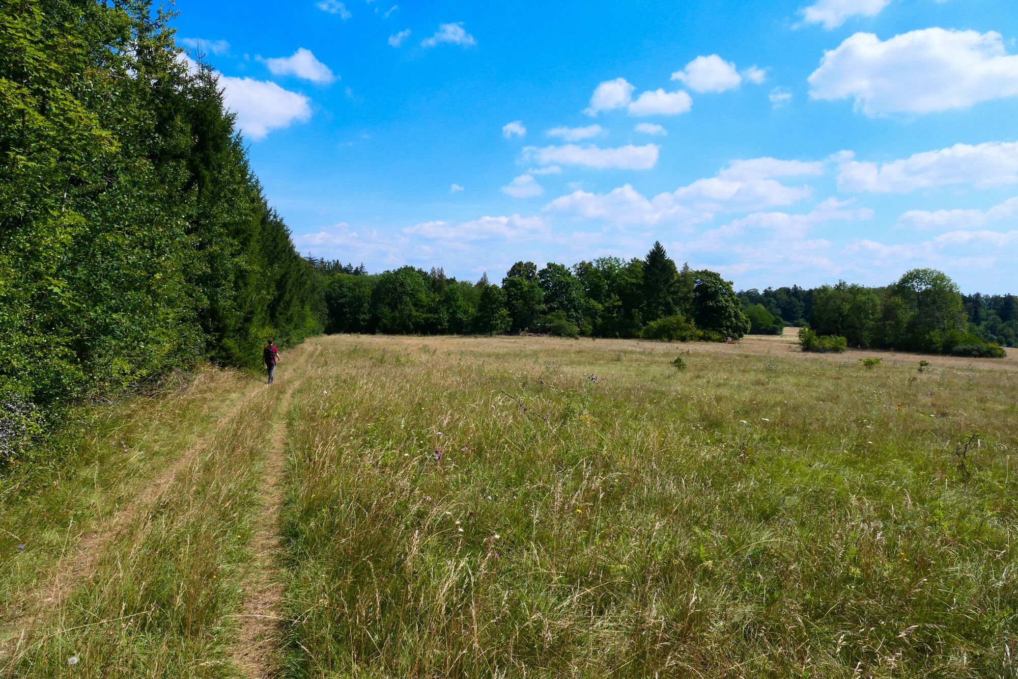
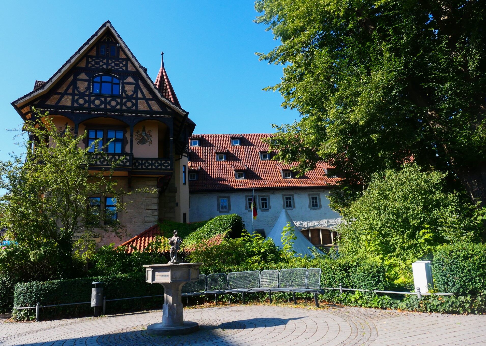
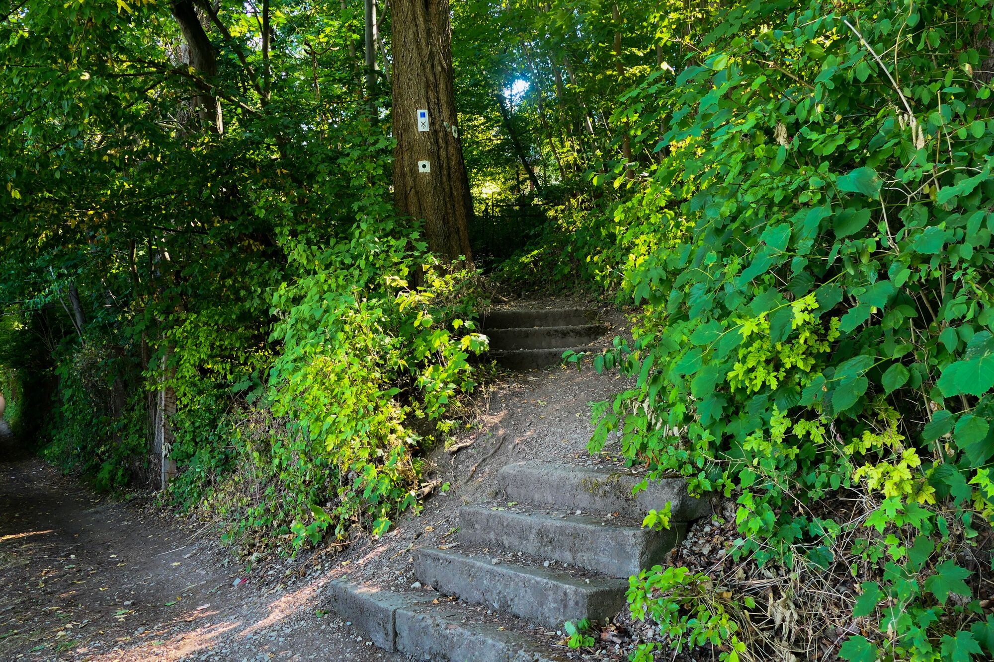
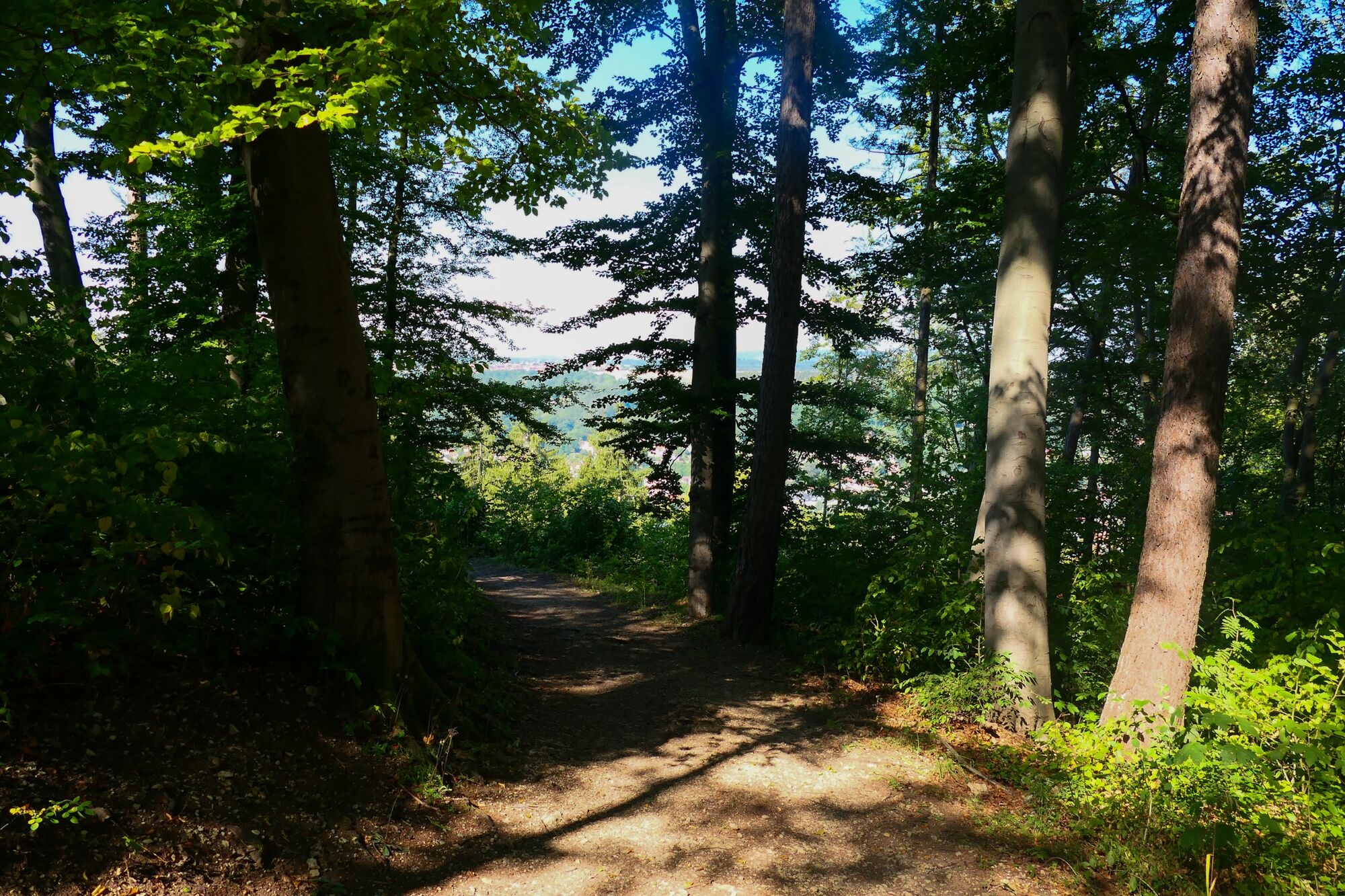
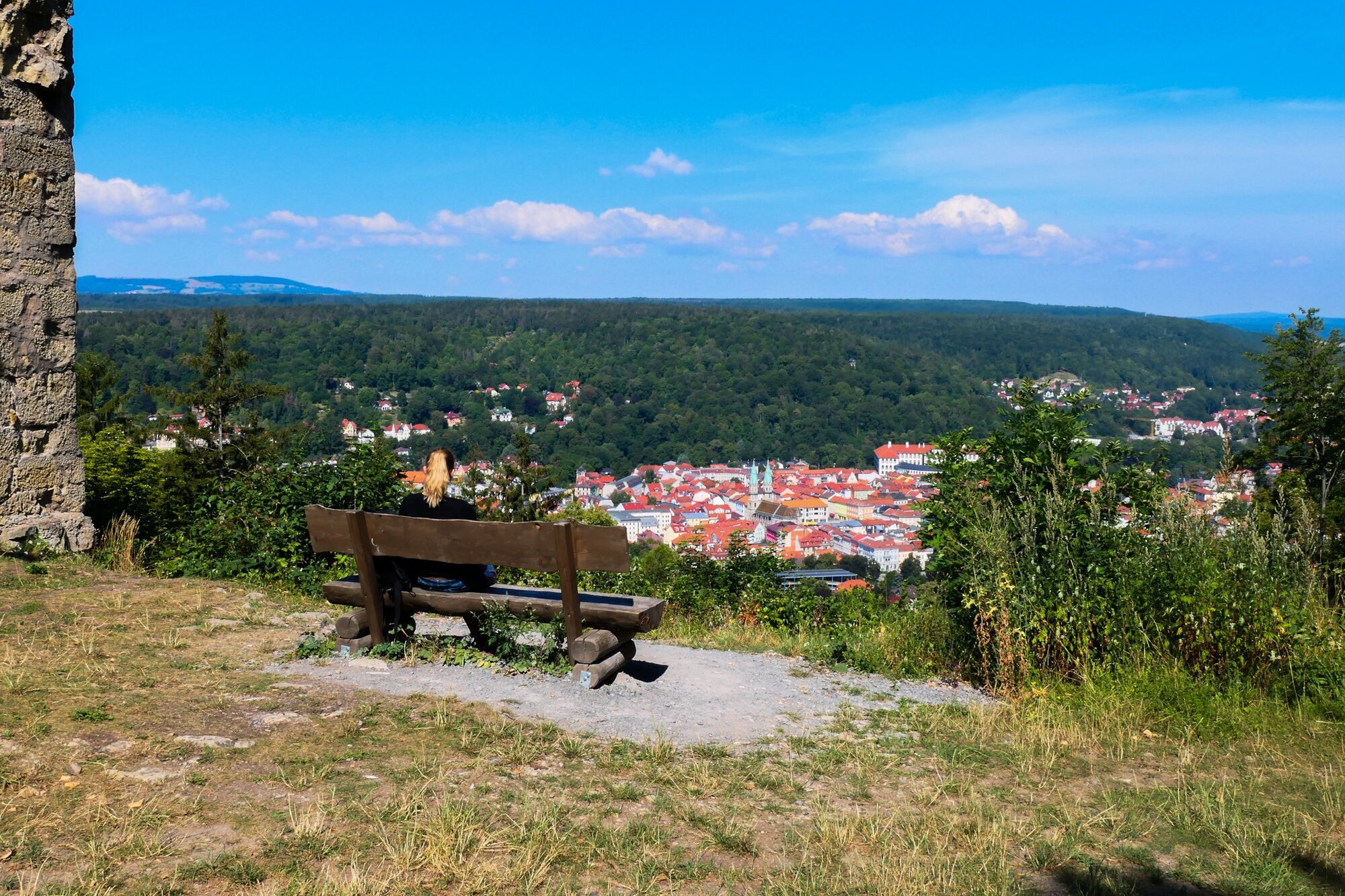
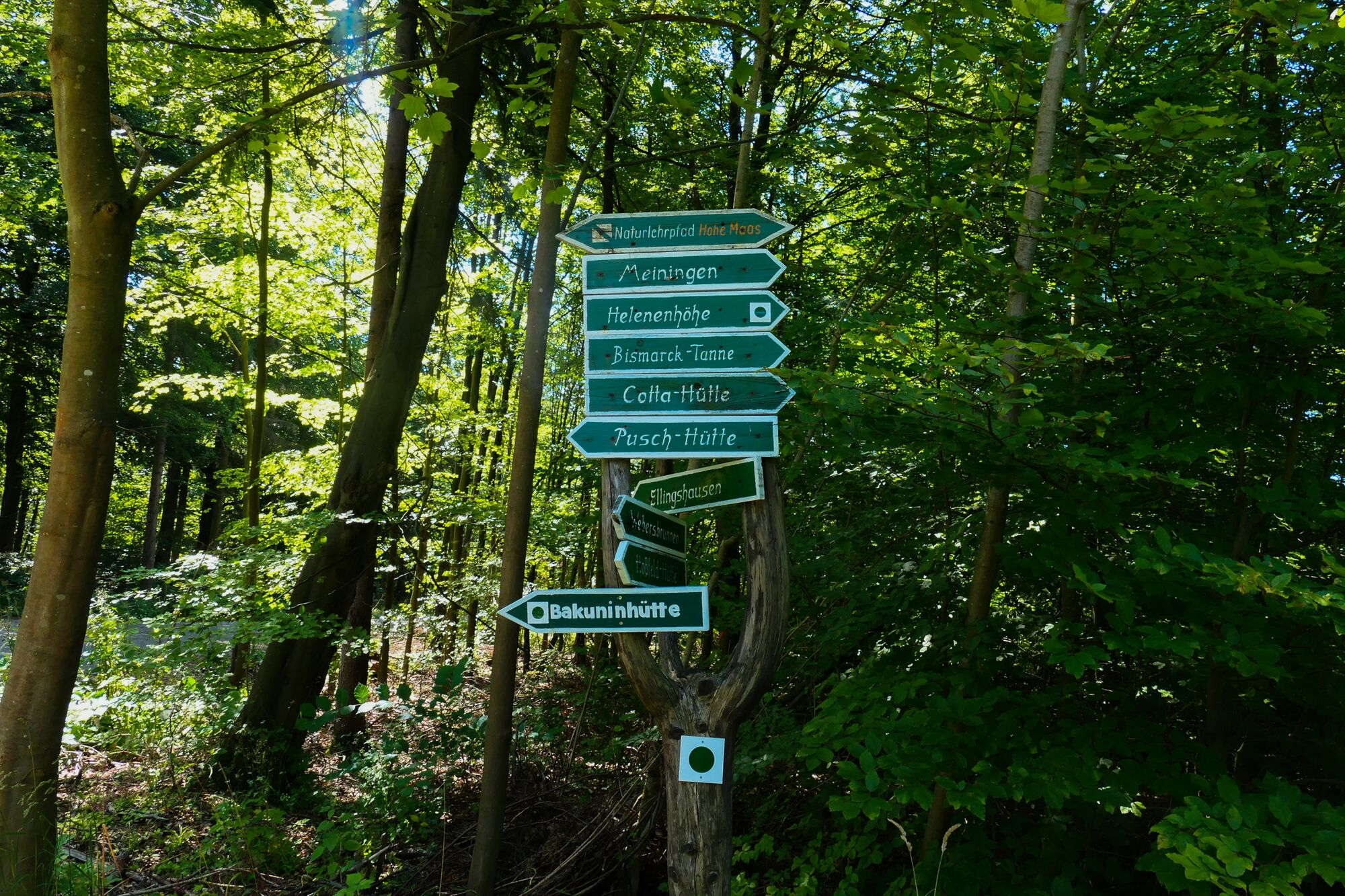

Tourist-Information - Henneberger House - Park Cemetery - Donopskuppe - Panorama Path - Heinrich-Cotta-House - Bakunin Hut
Tak
Sturdy footwear and weatherproof clothing.
Observe the typical dangers of the forest.
Hiking is at your own risk.
We wish you a relaxing and eventful hike!
Leave the A71 at exit 21-Meiningen-North and follow the B19 towards Meiningen-North/Bad Salzungen/Kaltennordheim/Wasungen. Follow the L1140 and Rohrer Street via Marienstraße and turn right onto Georgstraße. Follow the road to Klostergasse. The parking lot is located on the right side.
Meiningen is accessible by the South Thuringia Railway from the direction of Erfurt, Eisenach, and Sonneberg.
Arrival in Meiningen, Train Station
(Please enter your starting point and desired travel period in the form)
Leave the South Thuringia Railway at the Meiningen stop. Through the English Garden, you reach Elisabethenburg Castle/the tourist information on foot in about 12 minutes.
Klostergasse parking lot, Klostergasse 2 (Google NAV point)
The ideal hiking season is from March to October.
Further information:
Tourist Information Meiningen
Ernestinerstr. 2
98617 Meiningen
Email: touristinfo@meiningen.gmbh
Phone: 03693 44650
The Bakunin Hut is the perfect place to enjoy a picnic in a quiet atmosphere after a two-hour hike.

Popularne wycieczki w okolicy
- 4,5
Circular hiking route - EXTRATOUR - The Meininger
średniWędrówka 10,8 km Euro Velo Route 13 Iron Curtain Trail
ciężkiKolarstwo długodystansowe 652,1 kmDr. Malade - Rhön - Circular route - Hohe Geba
średniWędrówka 8,34 kmTour 11: Dolmar - der Berg der Kelten
ciężkiMountainbike 59,8 km- 5,0
Celtic circular trail - Vachdorf
światłoWędrówka 7,56 km - 5,0
Hiking - Rhön-Rennsteig-Route - Thuringian Forest
ciężkidługodystansowy szlak pieszy 98,8 km - 4,0
Werra Water Hiking 2: Meiningen - Wernshausen
średniKajak / Canoe 24,7 km - 5,0
"On the Celtic Experience Trail" - Vachdorf-Wachenbrunn - Hike
średniWędrówka 14,8 km "Nature Park Route Thuringian Forest" - From Hörschel to Saalfeld
średniMotorrad 466,4 kmMDR Osterspaziergang 2026 Meiningen: Panoramatour über den Drachenberg
średniWędrówka 10,7 km
Wędrówki i tropienie


Nie przegap ofert i inspiracji na następne wakacje
Twój adres e-mail została dodana do listy mailingowej.





