







Dr. Malade - Rhön - Circular route - Hohe Geba

“Dr. Malade Trail” – Dr. Theo Malade (1869–1944) was a doctor and writer who last lived in Helmershausen. At the summit of the Hohe Geba, not far from the Meininger Hut of the Rhön Club, there is a viewpoint...
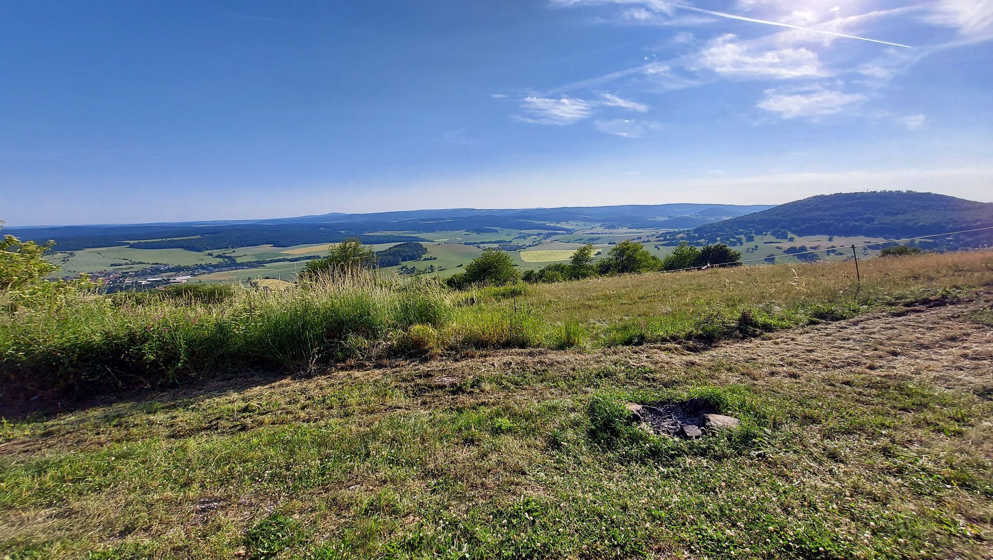
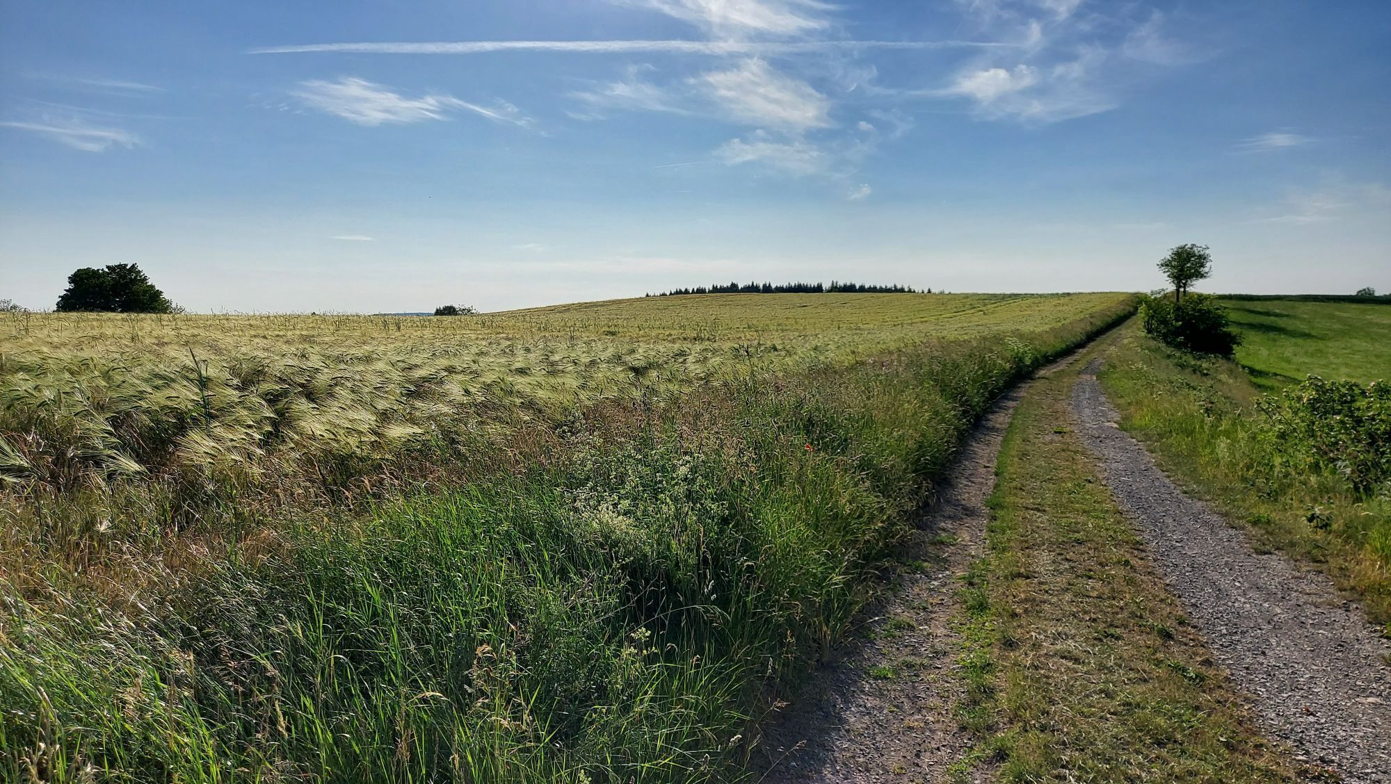
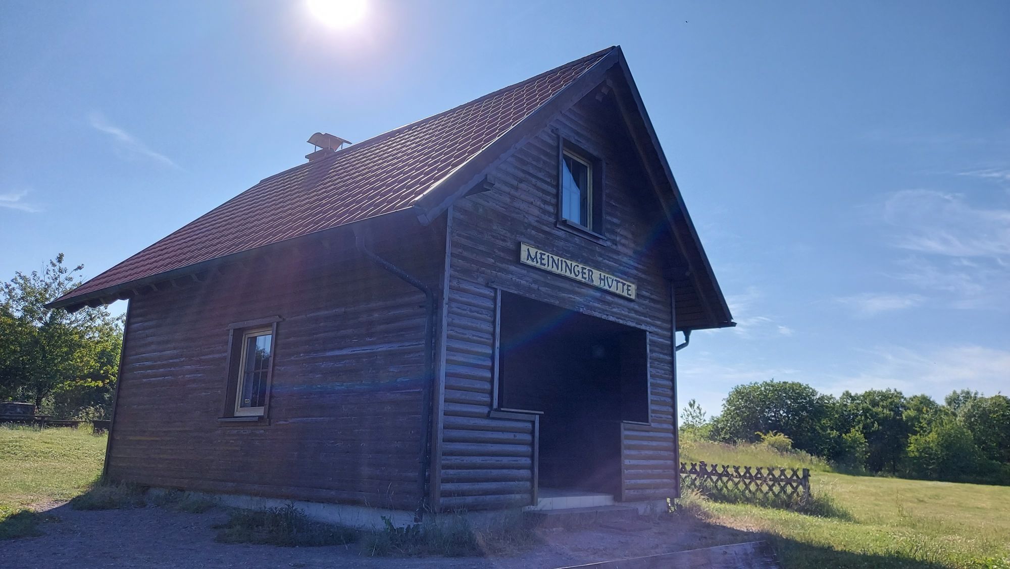
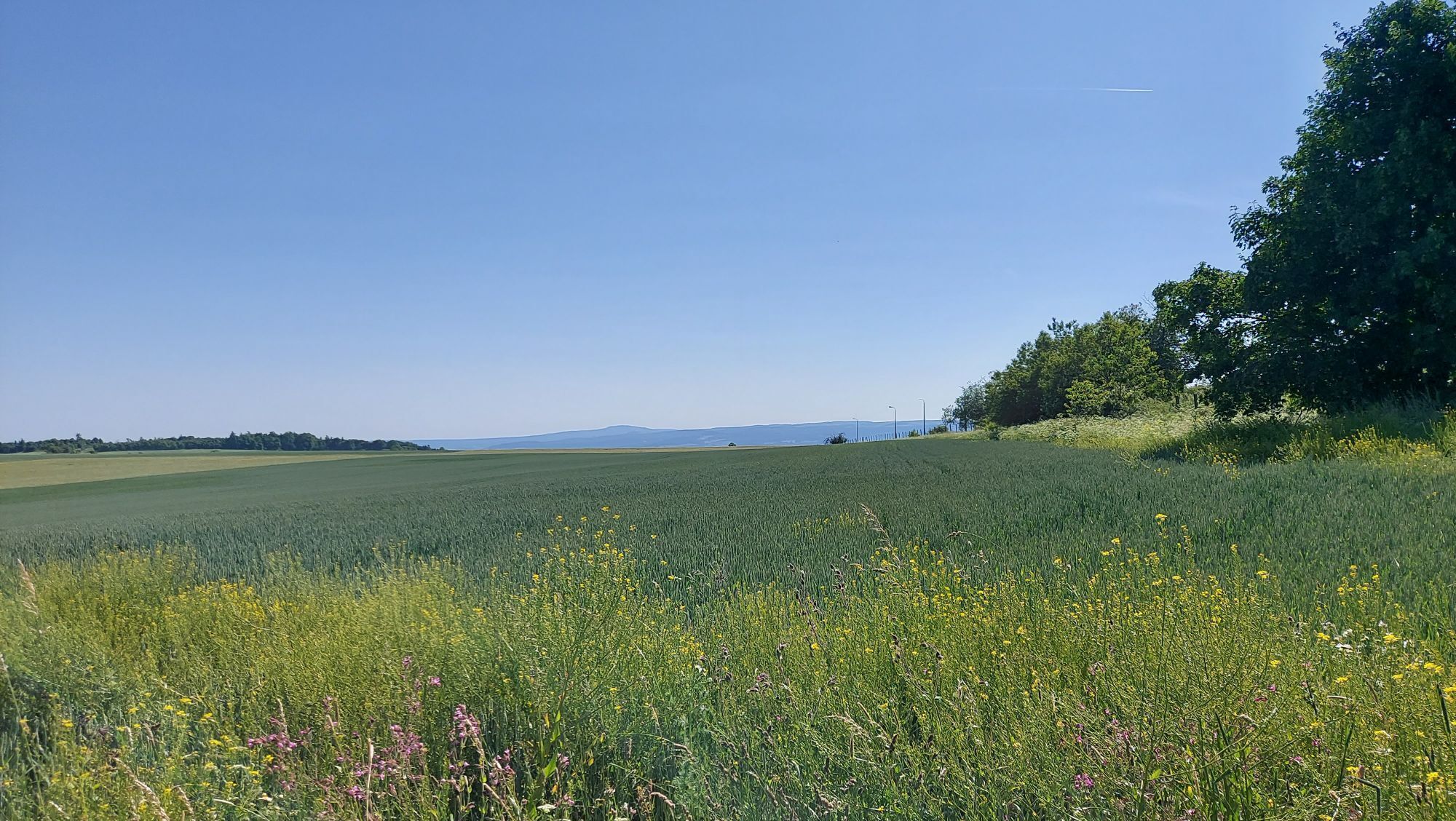
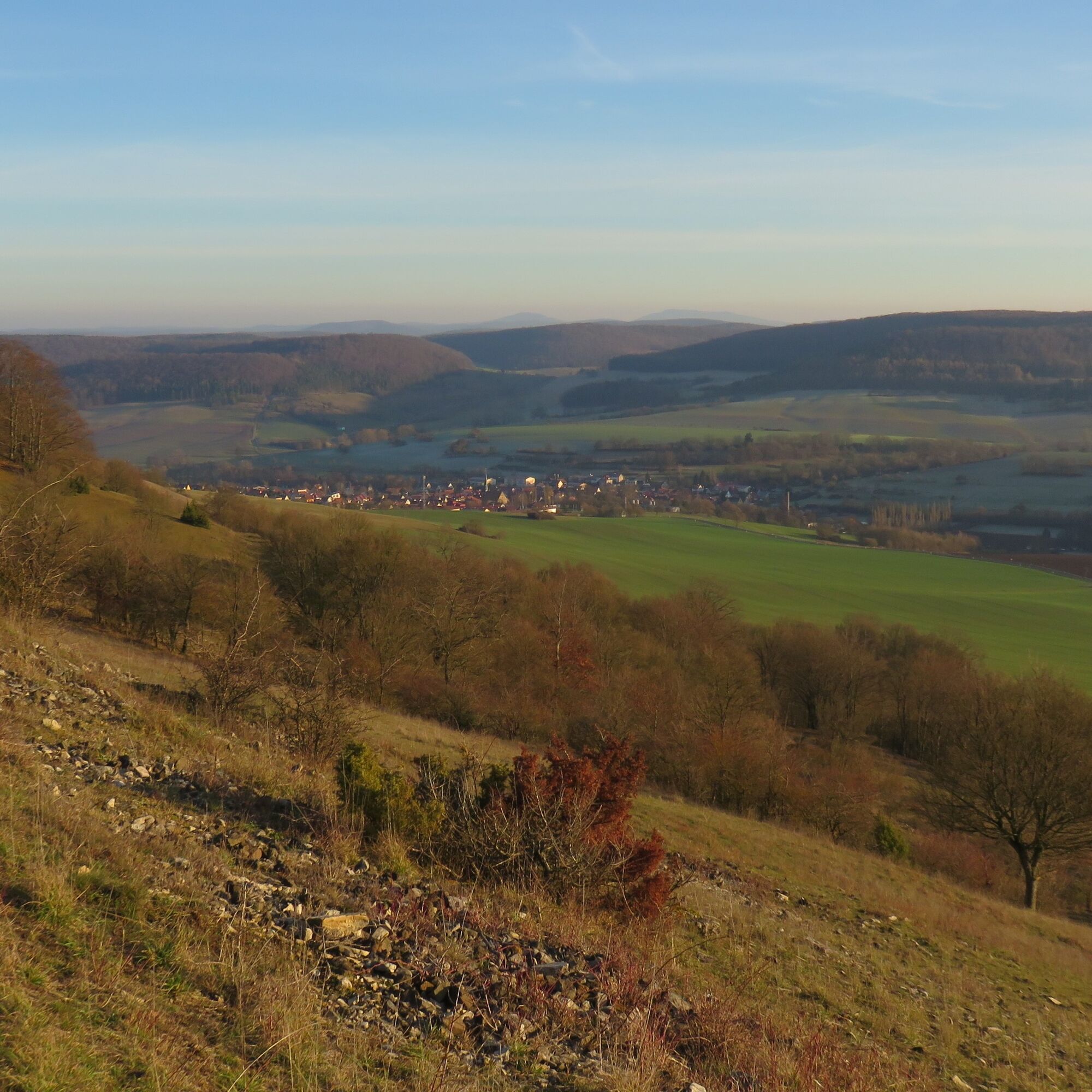
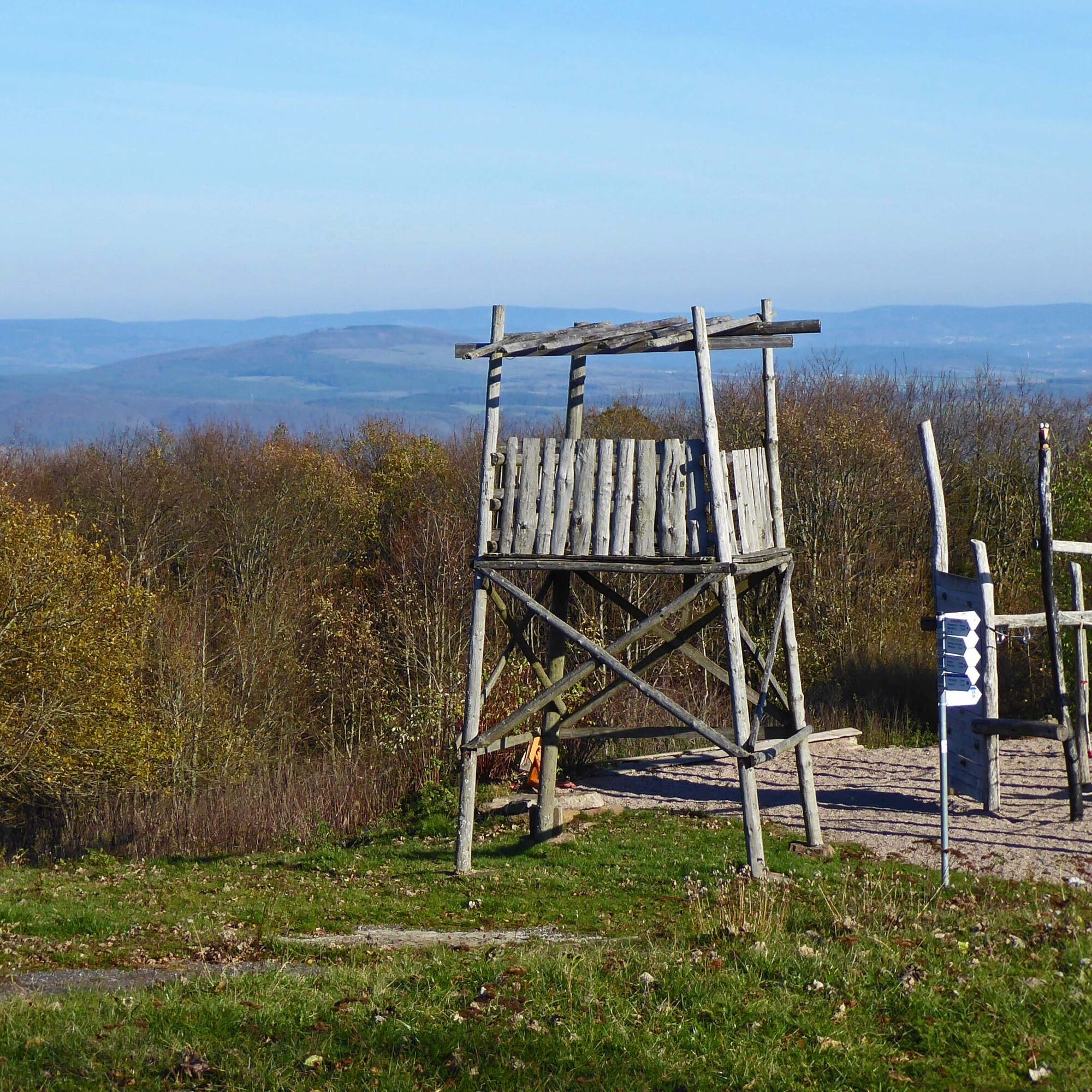
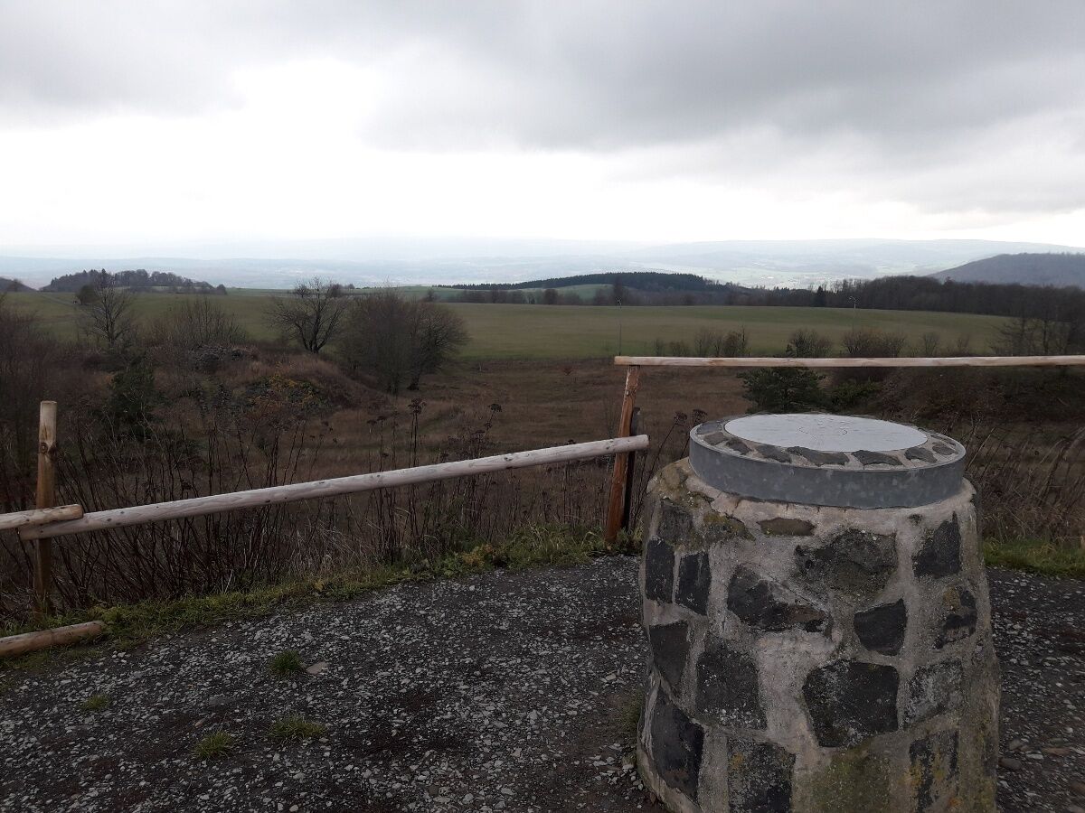
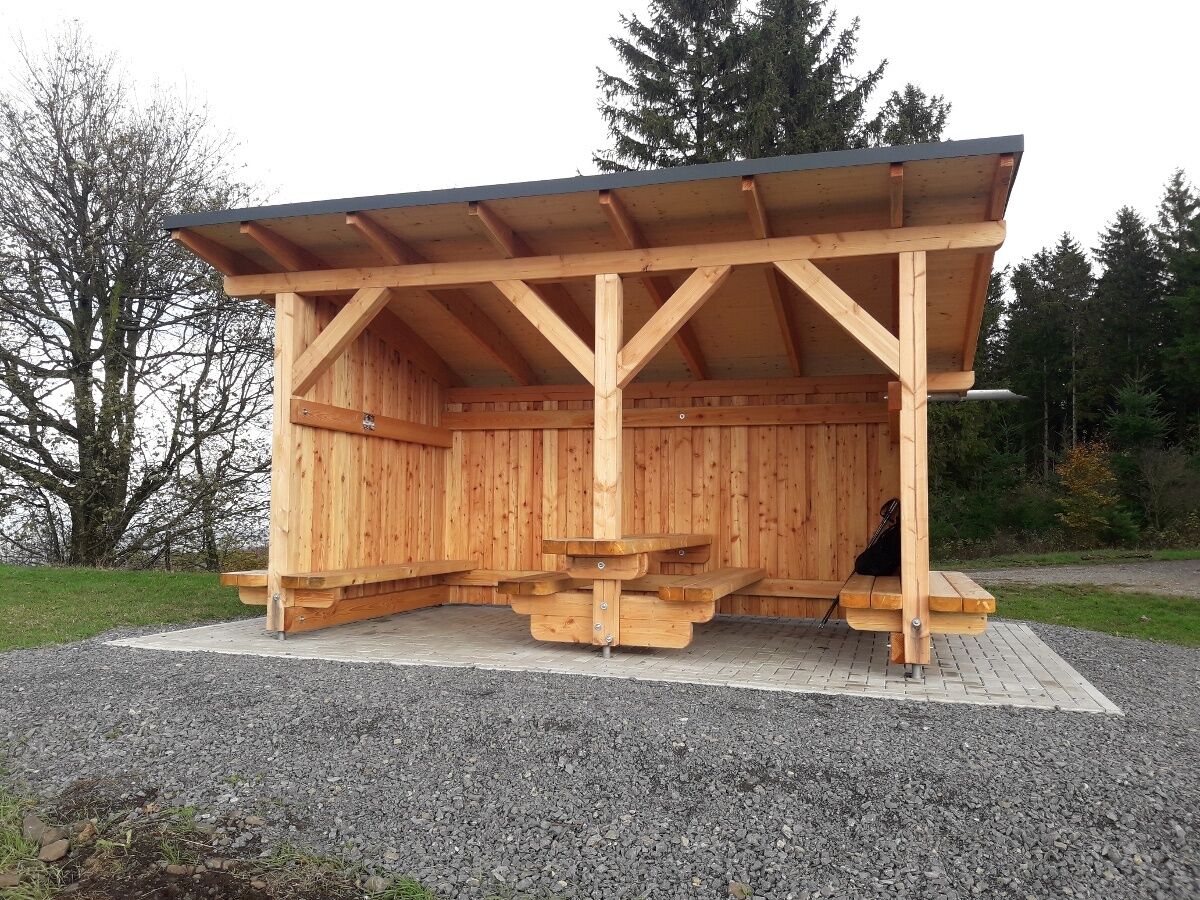
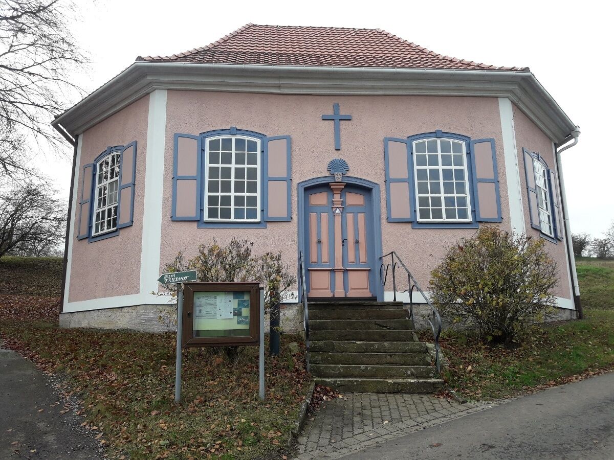
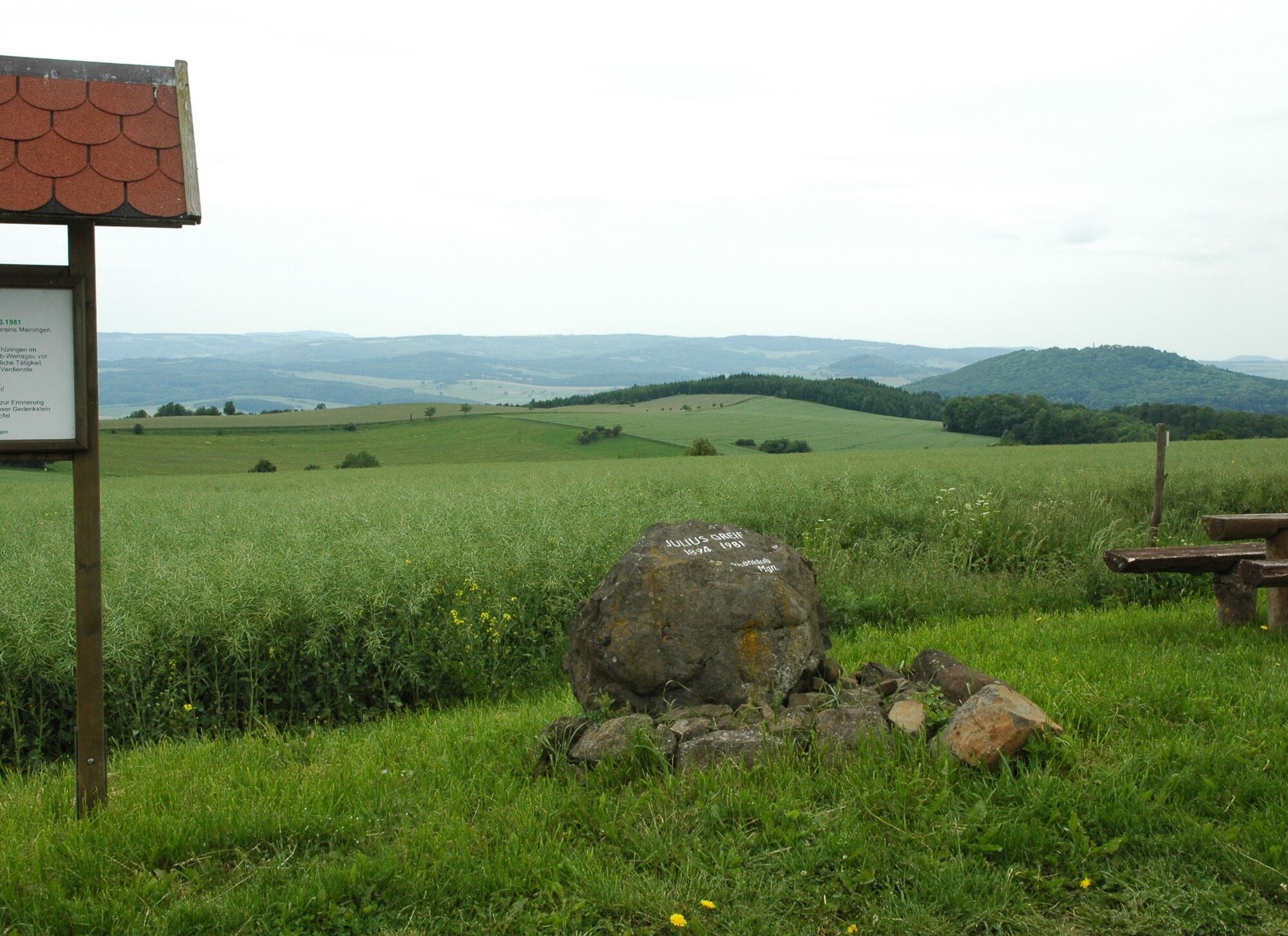
“Dr. Malade Trail” – Dr. Theo Malade (1869–1944) was a doctor and writer who last lived in Helmershausen. At the summit of the Hohe Geba, not far from the Meininger Hut of the Rhön Club, there is a viewpoint with a magnificent and wide panoramic view. After the Neidhardskopf, we walk through the forest to Wilhelmsruh with natural silence and a peaceful view. On gentle paths, the Dr. Malade memorial stone is reached. Here we again have a very beautiful view. Next, we reach the Rhönfrieden, an idyllic spot with a shelter and distant views of the Hohe Rhön, a really striking viewpoint with unique vistas. By this point, everyone understands the importance of the Rhön as the land of wide distances. Many hiking trails converge here; it is simply a wonderful place to linger. Then follows the village of Geba with the regionally unique half-timbered church. After Geba, gently ascending, we return to the starting point, the summit of the Hohe Geba.
Feeder from Bettenhausen-Wilhelmsruh

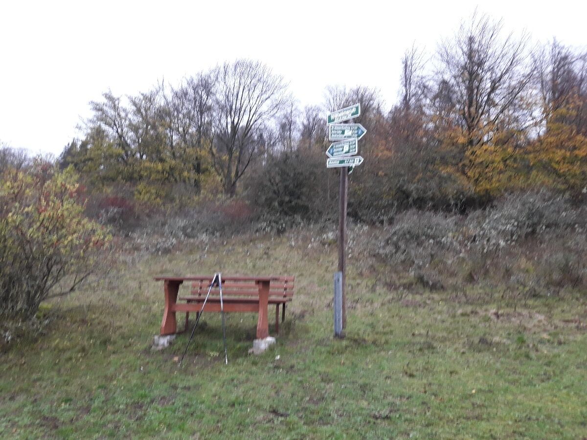
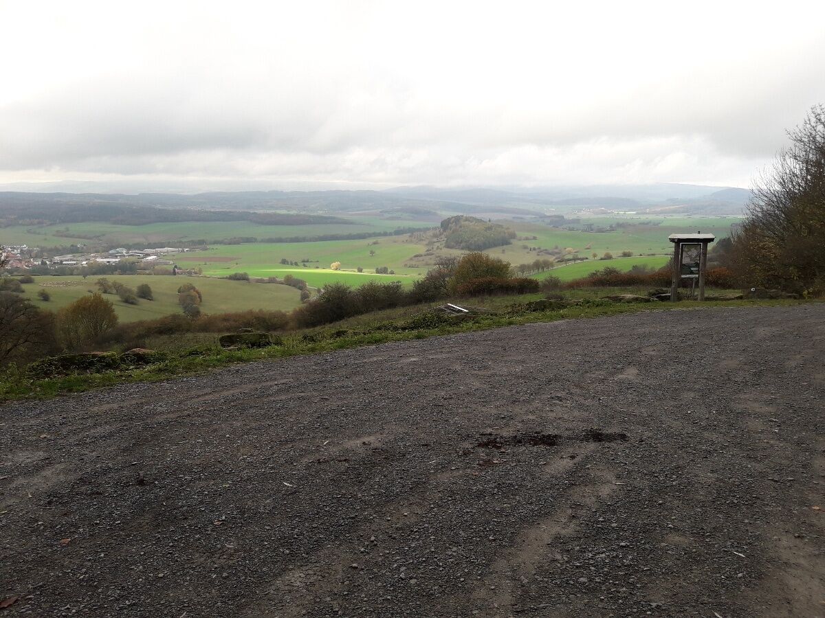
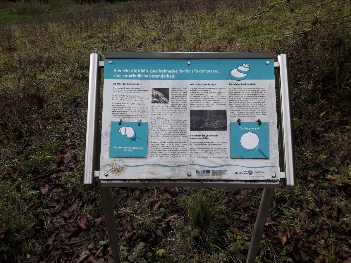
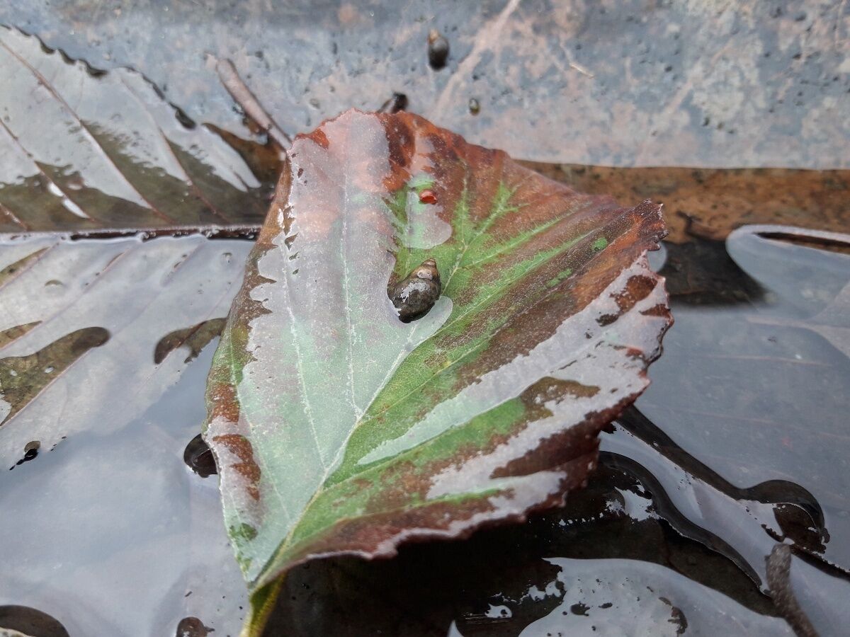

Rhön circular trail marking: a white 2 on a blue background
Tak
Tak
The hiking trail requires sturdy footwear. You will partly walk on narrow paths. Avoid stepping on moss-covered stones and rocks due to the risk of slipping, and watch out for deadwood, branches, and fallen trees. A fresh breeze usually blows on the Geba plateau; wind protection and warm clothing are recommended.
Note the typical dangers of the forest! Enter at your own risk! We wish you a relaxing and eventful hike!
From Erfurt/Schweinfurt via A71 exit Meiningen-Nord Meiningen, Walldorf (Brückenmühle), Melkers, Herpf, Stepfershausen, Träbes, Geba, Gebaberg
From Eisenach via B19 exit Walldorf, Melkers, Herpf, Stepfershausen, Träbes, Geba, Gebaberg
From Fulda via B458 to Batten, then Seiferts, Fladungen, Brüks, Weimarschmieden, Helmershausen, Geba, Gebaberg
On weekdays, see MBB bus line 409 arriving in the village of Geba, from where the hike can be started ....
https://www.mbb-mgn.de/wp-content/uploads/2023/01/409.pdf
Many free parking spaces at Gebaberg and Neidhardskopf
Popularne wycieczki w okolicy
- 4,4
Circular hiking route - EXTRATOUR - The Meininger
średniWędrówka 10,8 km Euro Velo Route 13 Iron Curtain Trail
ciężkiKolarstwo długodystansowe 652,1 km- 4,0
Werra Water Hiking 2: Meiningen - Wernshausen
średniKajak / Canoe 24,7 km MDR Osterspaziergang 2026 Meiningen: Panoramatour über den Drachenberg
średniWędrówka 10,7 kmCircular hike - Ring path Meiningen - Werra Valley
ciężkiWędrówka 23,4 kmHike - from Meiningen to the Bakunin Hut (Rohr)
światłoWędrówka 5,79 kmMDR Osterspaziergang 2026 Meiningen: Panoramatour über Dreißigacker
ciężkiWędrówka 14,4 kmCycle path - Rosatal cycle path - Wernshausen to Weilar - Thuringian Forest
średniJazda na rowerze 21,8 kmGreen-Belt-Thuringia
ciężkiWędrówka 699,9 kmRäuberweg in Bauerbach -Grabfeld - circular route
średniWędrówka 6,29 km
Wędrówki i tropienie


Nie przegap ofert i inspiracji na następne wakacje
Twój adres e-mail została dodana do listy mailingowej.





