







Cycle path - Rosatal cycle path - Wernshausen to Weilar - Thuringian Forest
Starting from Wernshausen, this cycle route runs along a well-developed forest path to Helmers. A visit to the Frankenberg castle ruins is worthwhile there.
From Georgenzell, it continues to Rosa. We recommend...
Starting from Wernshausen, this cycle route runs along a well-developed forest path to Helmers. A visit to the Frankenberg castle ruins is worthwhile there.
From Georgenzell, it continues to Rosa. We recommend spending a few minutes visiting the Ponde Rosa Ranch, which lies directly on the cycle path.
On the way to Rossdorf, you learn why the Rhön is called the "land of open distances." Enjoy the magnificent views of the Rhön. In Rossdorf, the Renaissance castle invites you to visit.
Past the romantic lakes of Bernhäuser and Rossdorf Kutte, after 17 kilometers, you reach the village of Bernshausen with the Stockborn horse ranch and Urnshausen with the nearby recreational area Schönsee.

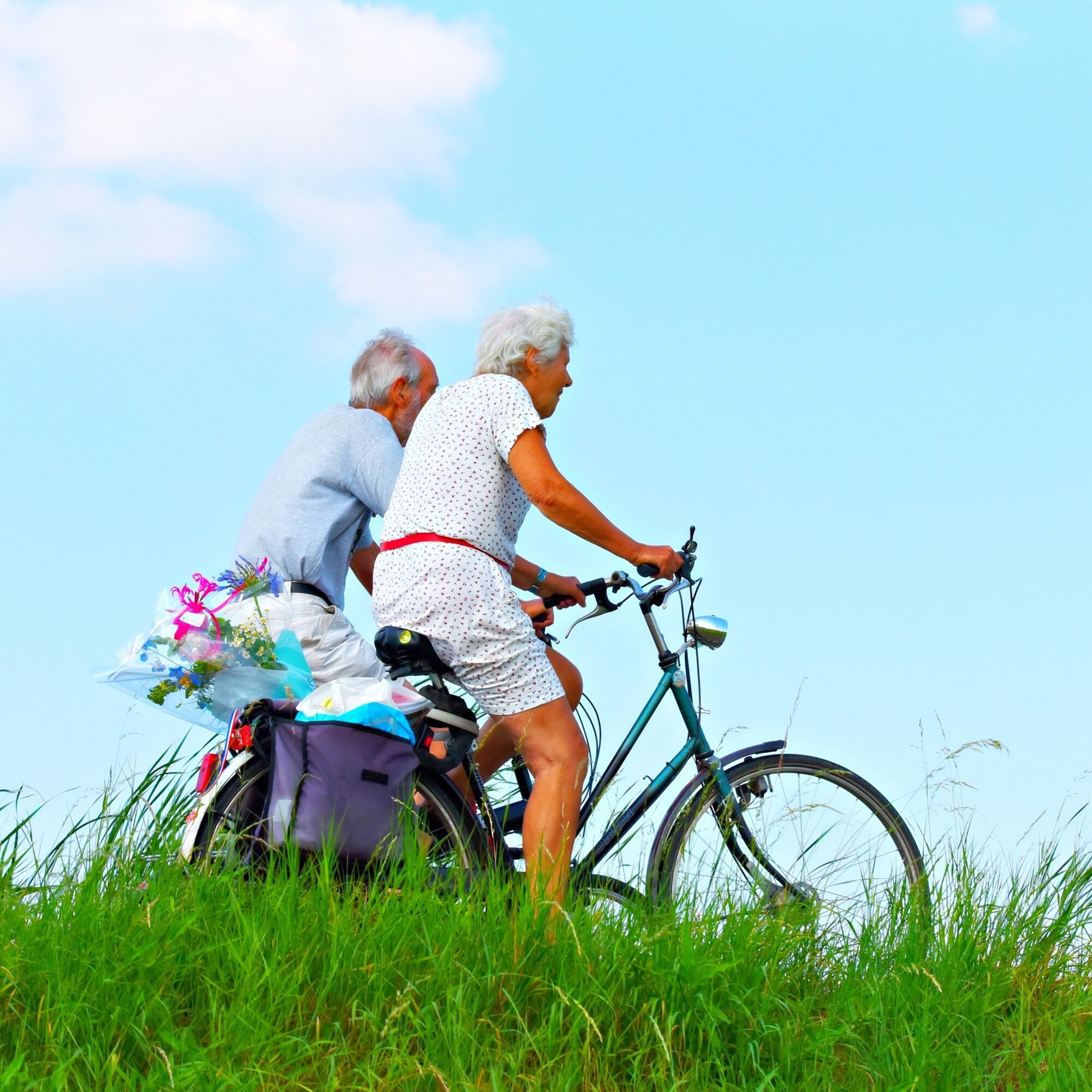
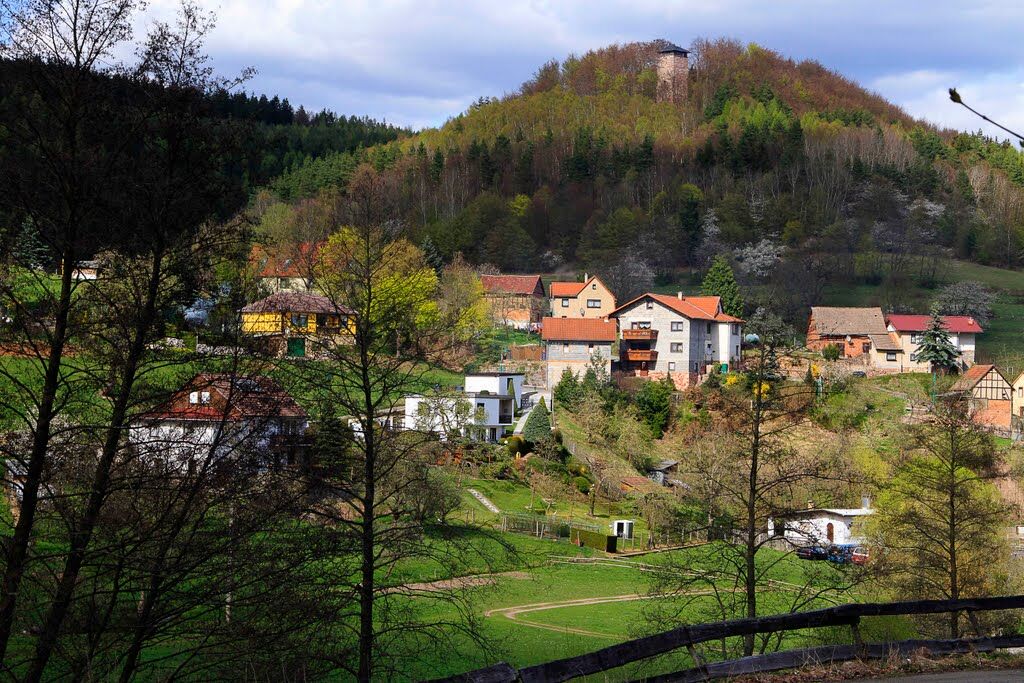
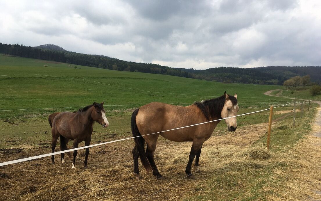
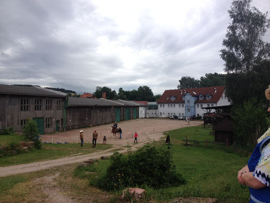
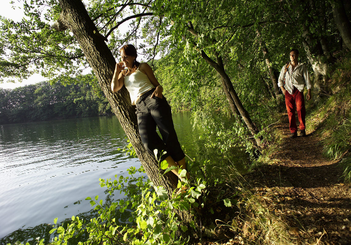

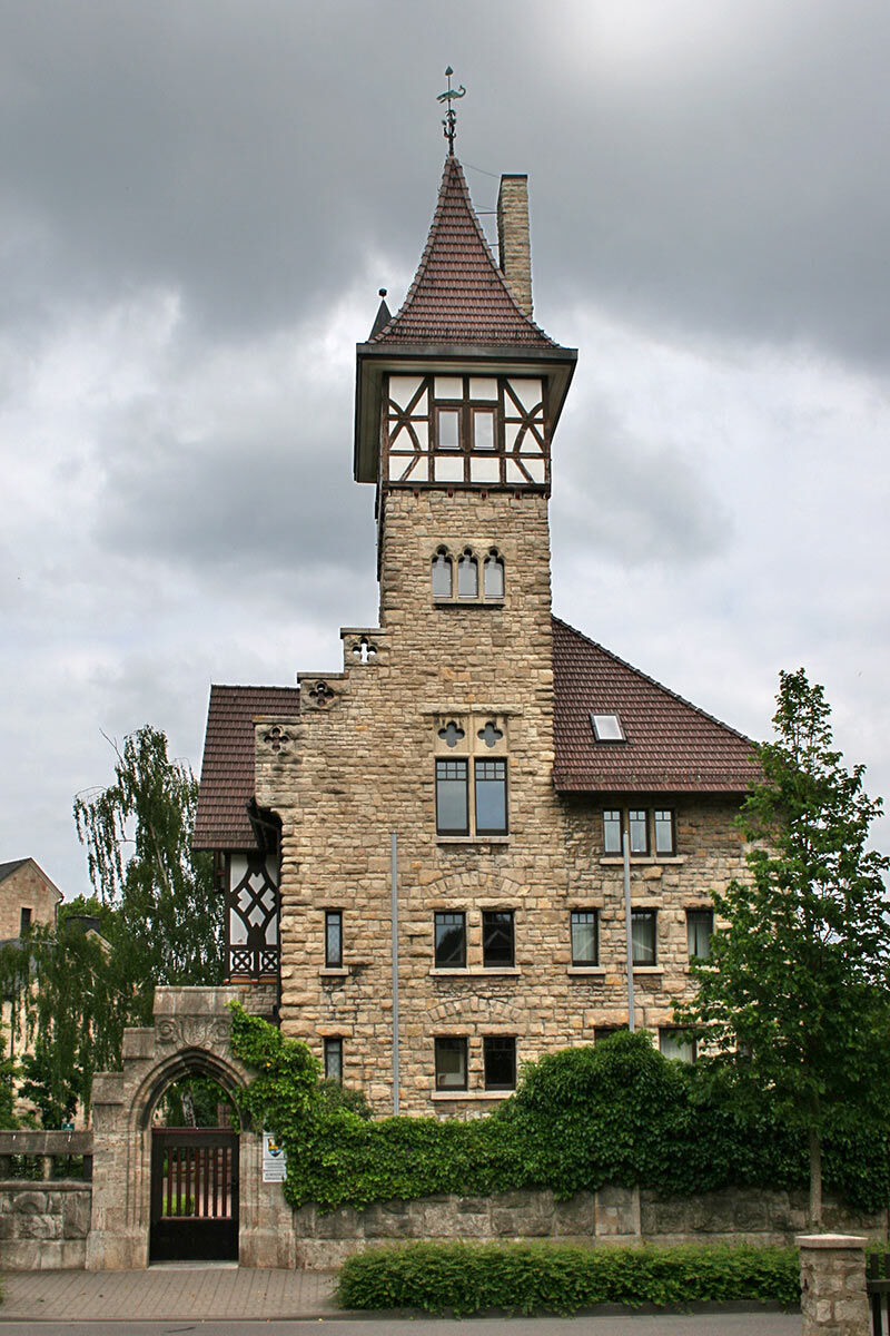
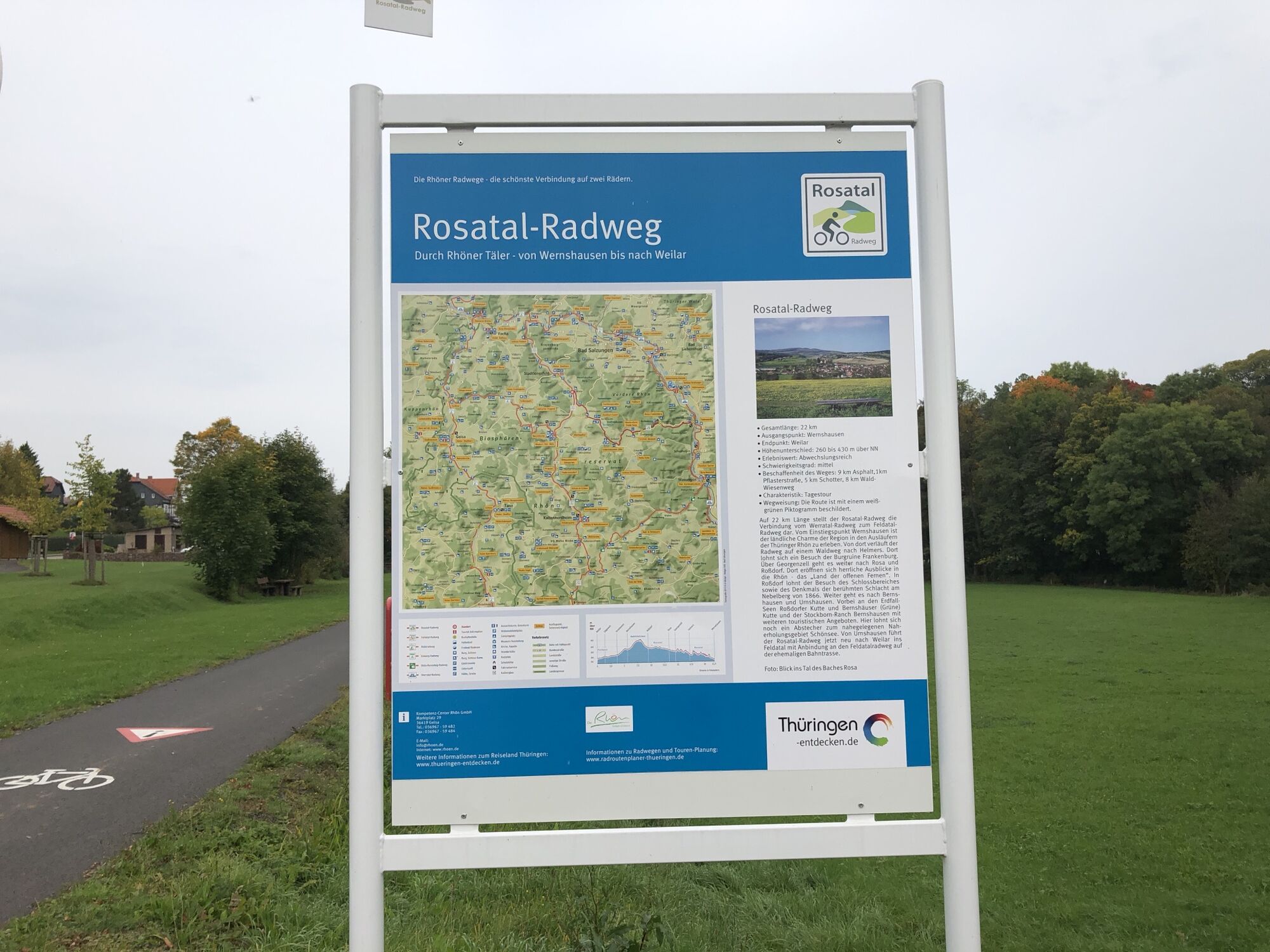

Wernshausen - village road - forest path to Helmers (castle ruins) - forest path to Georgenzell - meadow path to Rosa - view of the southern Vorderrhön with the Gebaberg - Rossdorf (battlefield of the Battle of Nebelberg 1866) - connecting road to Bernshausen - Urnshausen - Weilar
Functional clothing
sufficient drink supplies
first aid kit
GPS navigation device
puncture repair kit
The route partly runs on public roads. Please always pay attention to other road users and adhere to the traffic regulations.
Check your bicycle for roadworthiness before starting your ride (lights [front/rear], reflectors)
The route is fully approved for use with e-bikes and pedelecs.
Attention: From June 3, 2024, until probably the end of March 2025, the Rosatal cycle path in the Helmers area (Wernshausen district) is closed due to construction work.
B19 from the direction Meiningen or Eisenach exit Schmalkalden
L 1026 from the direction Schmalkalden or Dermbach/Rossdorf
South Thuringia Railway from the direction Eisenach, Meiningen or Schmalkalden: exit Wernshausen
local bus lines
Wernshausen station
Tourist Information Schmalkalden
Auer Gasse 6-8
98574 Schmalkalden
Telephone: +49 (0)3683 6676500
During your route visit the Frankenberg castle ruins near Helmers as well as the Ponde Rosa Ranch in Rosa. Idyllic spots with history and charm
Uzyskaj wgląd
Zawsze na żywo z ponad 9 500 kamer internetowych. bergfex Jako użytkownik Pro, możesz teraz zobaczyć odpowiednie kamery internetowe dla wielu wycieczek w aplikacji wycieczki od. Pozwala to na bezpośredni podgląd aktualnych warunków.
Popularne wycieczki w okolicy
-
Circular route - Around the Roßbachhöhe - Schmalkalden - Thuringian Forest
średniWędrówka 11,4 km -
4,0
Hiking - Stork Trail Bad Salzungen
światłoTrasa tematyczna 5,89 km -
Dr. Malade - Rhön - Circular route - Hohe Geba
średniWędrówka 8,34 km -
5,0
Circular hike - "Favorite Places Loop" - Bad Liebenstein - Thuringian Forest
średniWędrówka 8,18 km -
4,0
Werra Water Hiking 2: Meiningen - Wernshausen
średniKajak / Canoe 24,7 km -
Circular route - Above the Roofs - Schmalkalden - Thuringian Forest
średniWędrówka 7,36 km -
3,0
Cycle round route - tradition route - Schmalkalden-Breitungen - Thuringian Forest
średniJazda na rowerze 36,4 km -
Circular route - "Barefoot path" - Bad Liebenstein - Thuringian Forest
światłoWędrówka 0,57 km -
Circular Route - Around the Herrenkuppe - Schmalkalden - Thuringian Forest
światłoWędrówka 4,32 km -
Circular route - In the Footsteps of the Old Knights to Frankenburg - Breitungen
średniWędrówka 14,3 km
Wędrówki i tropienie


Nie przegap ofert i inspiracji na następne wakacje
Twój adres e-mail została dodana do listy mailingowej.





