







Rennsteig stage run - 2nd stage Grenzwiese - Grenzadler

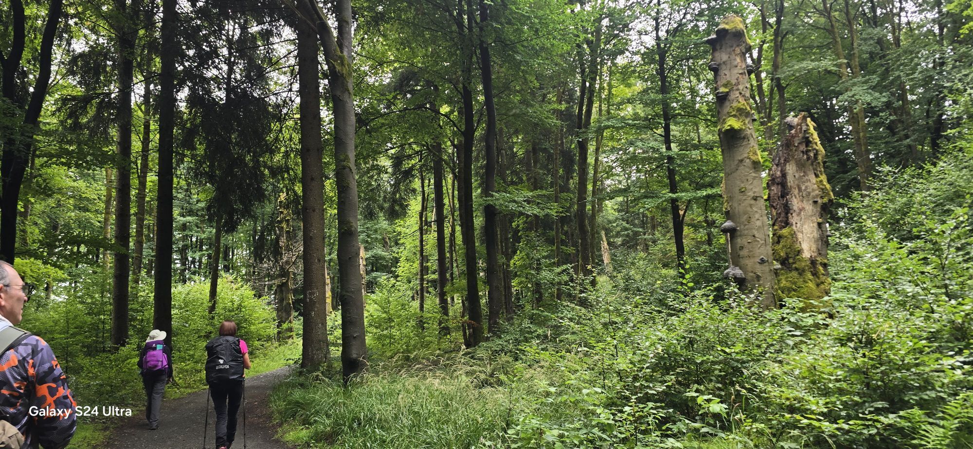
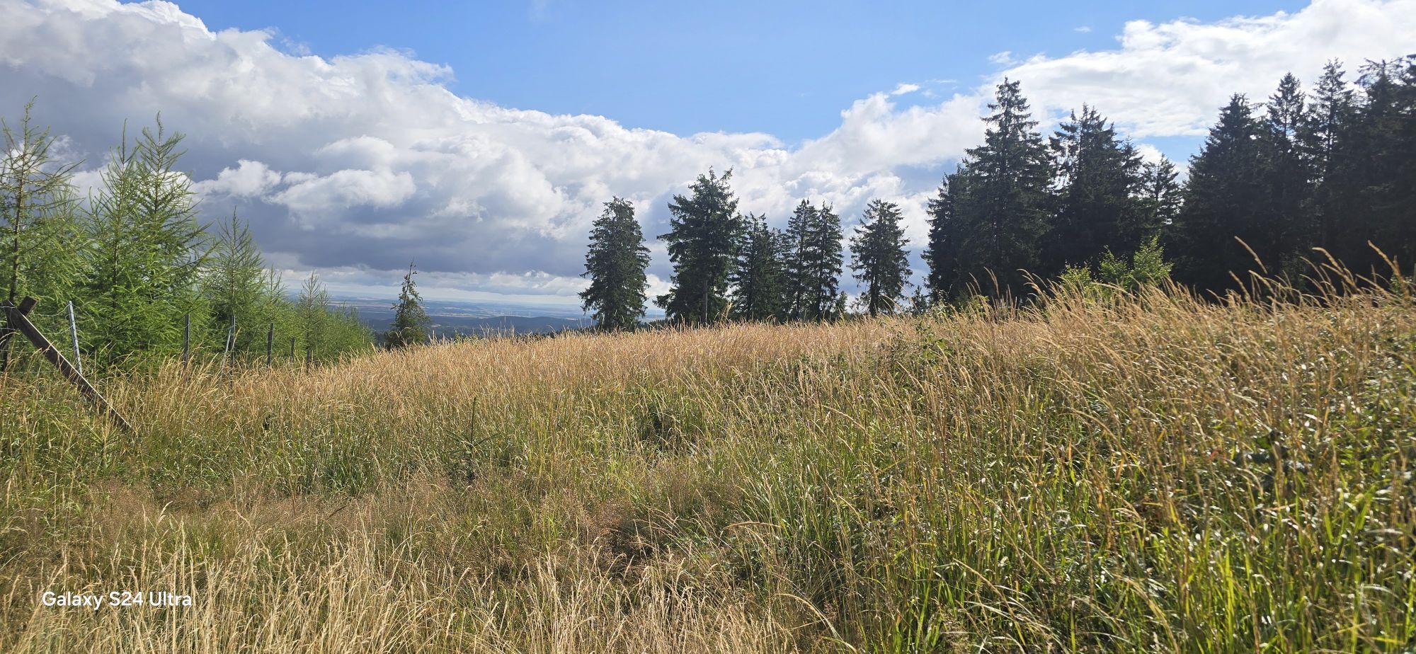
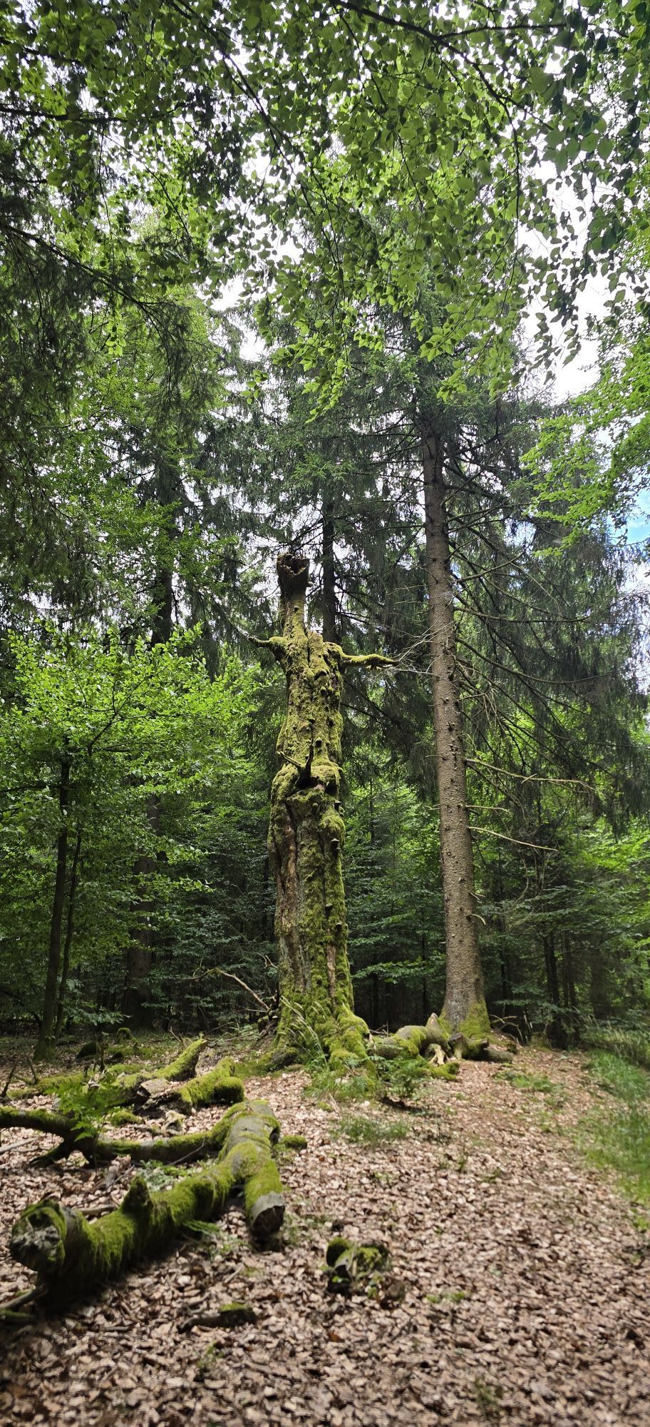
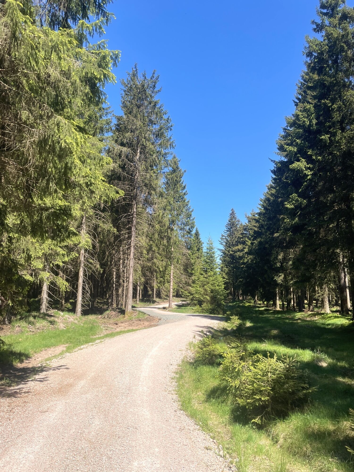
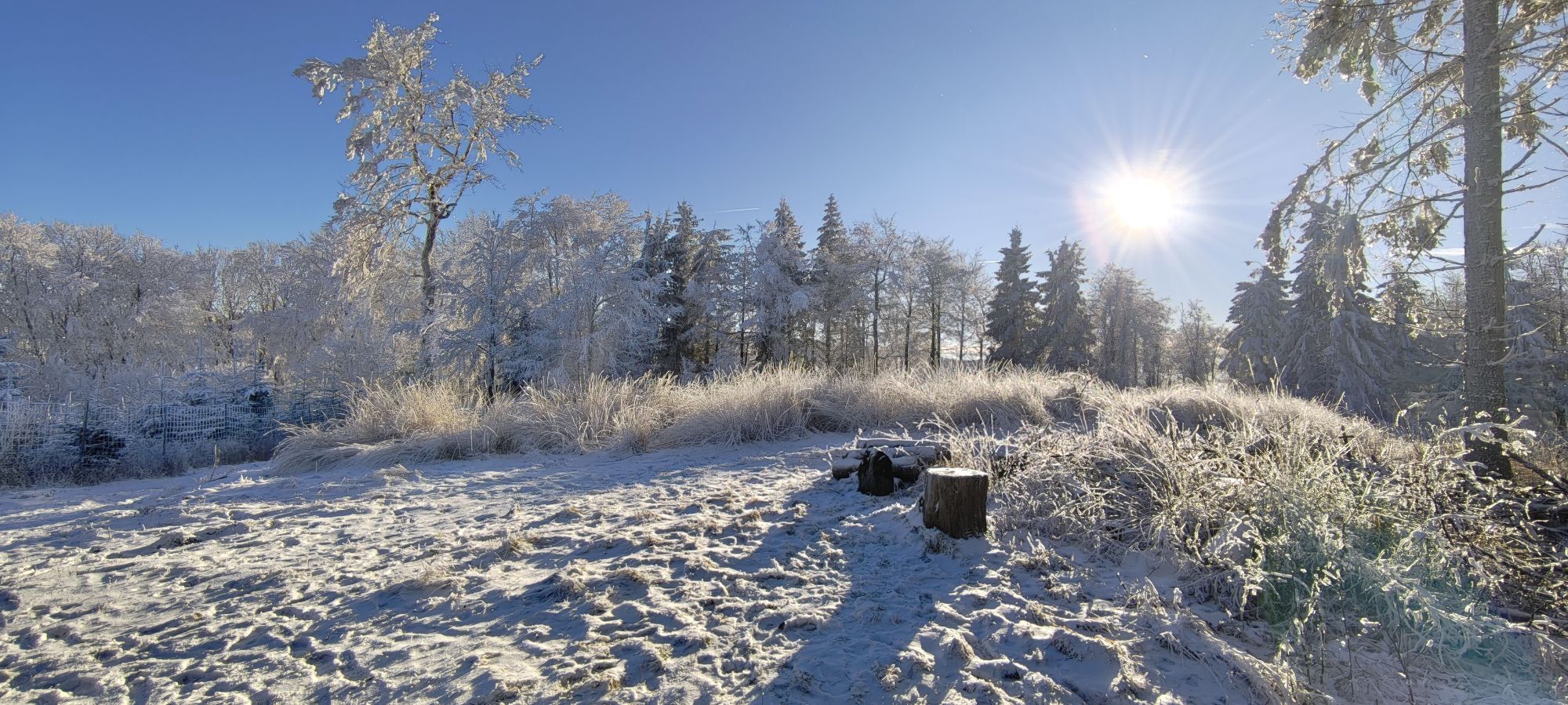
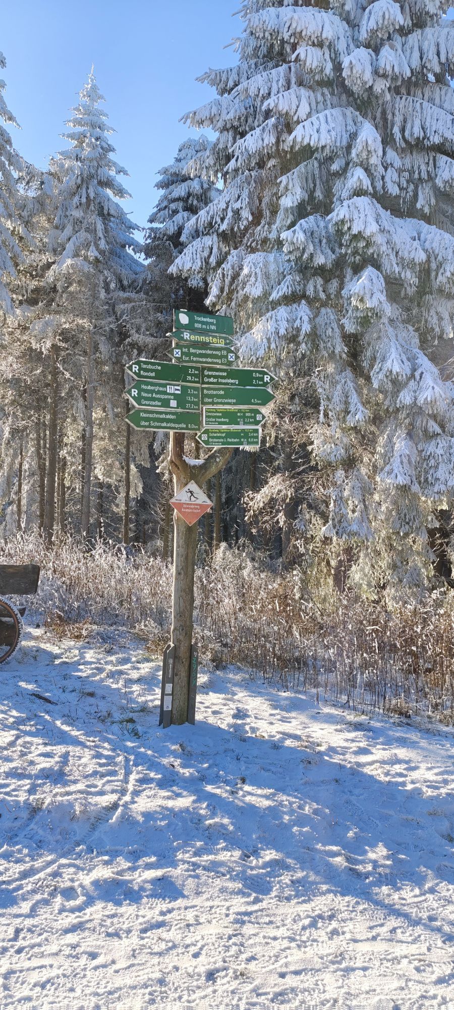
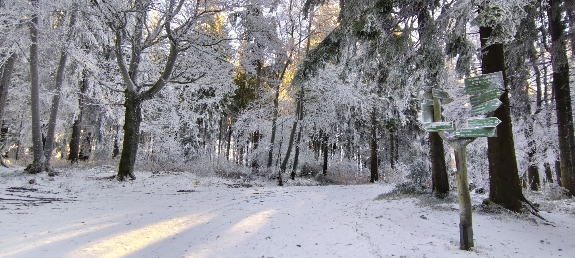
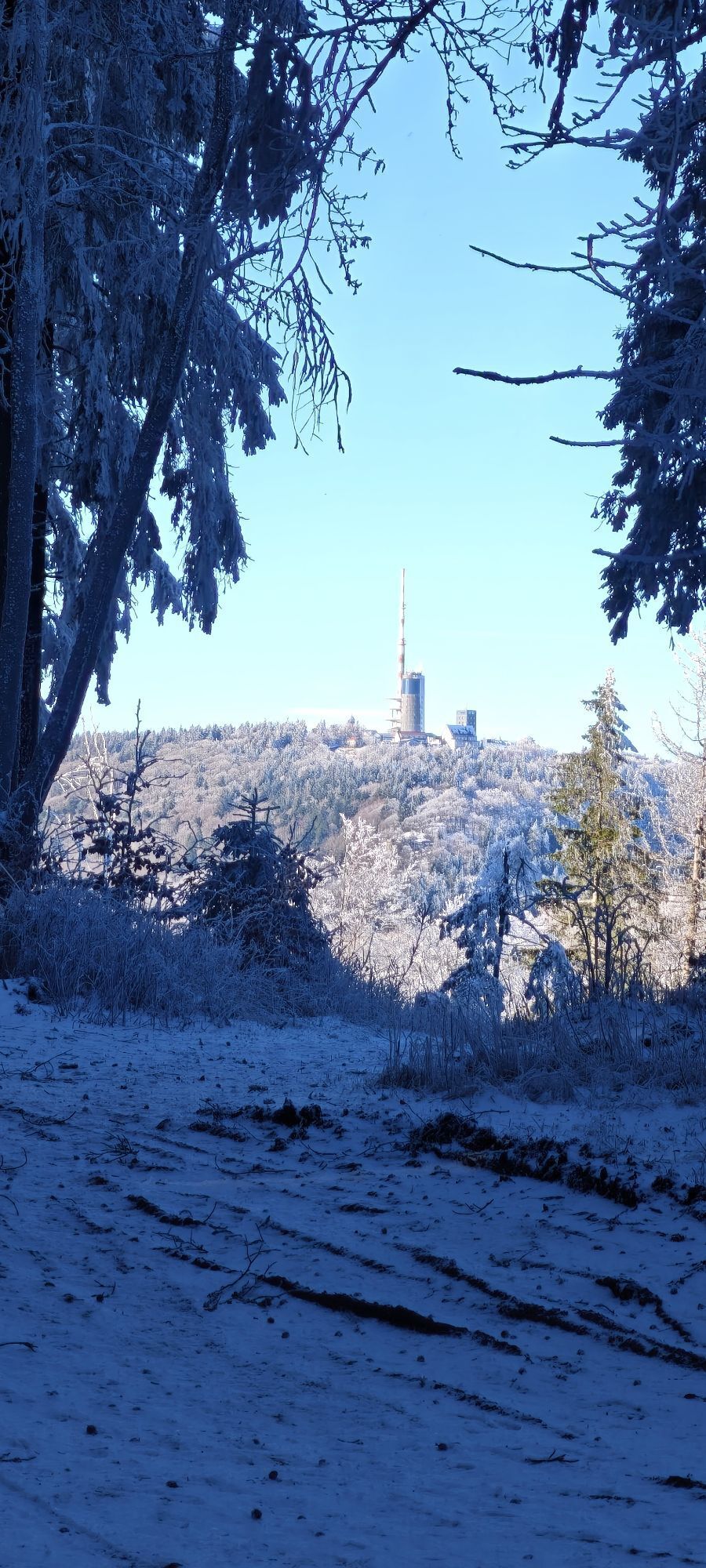
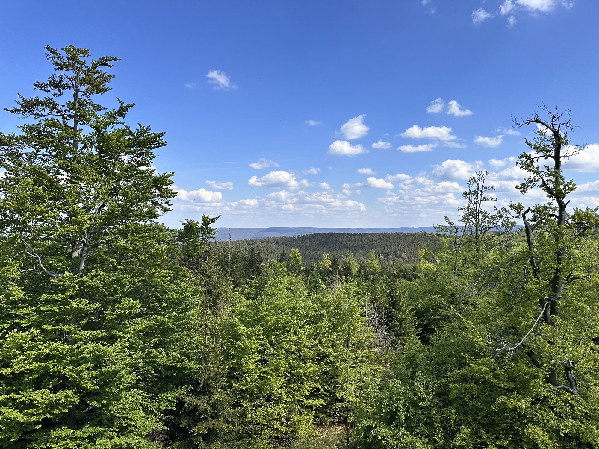
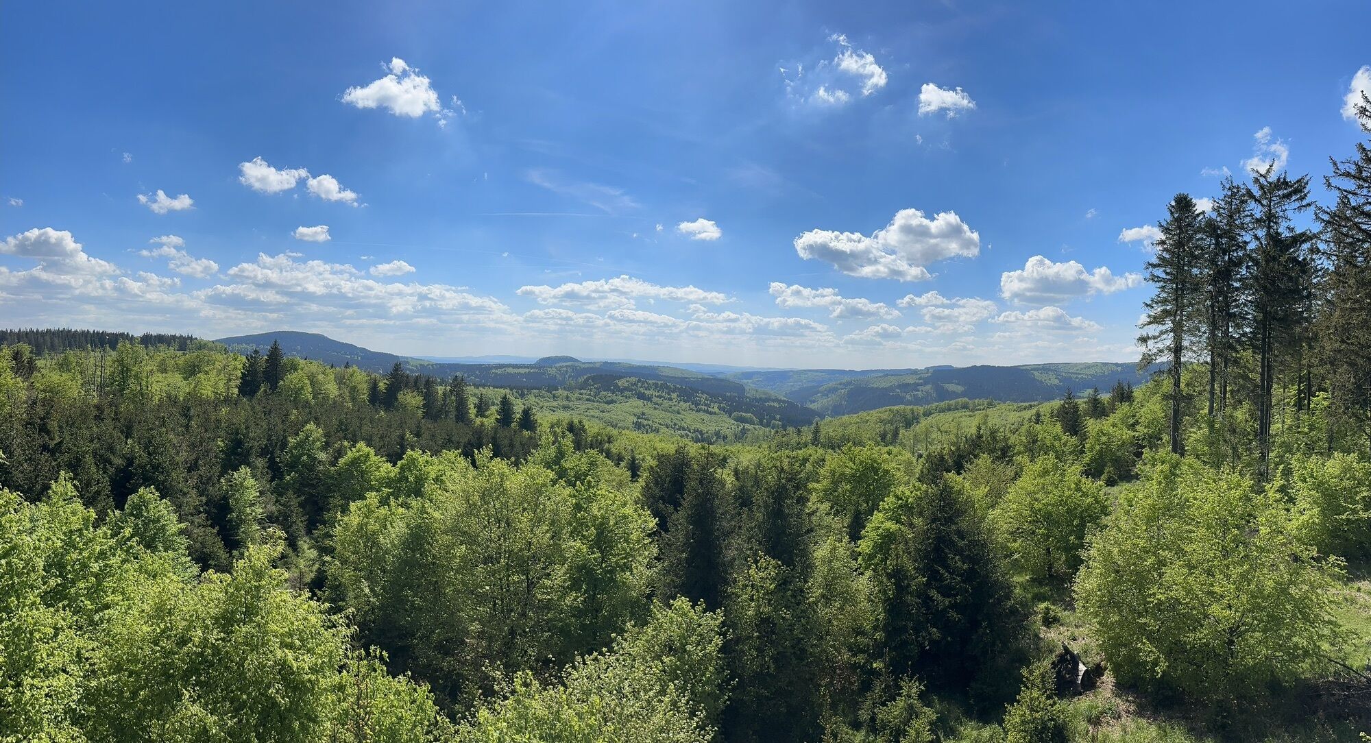
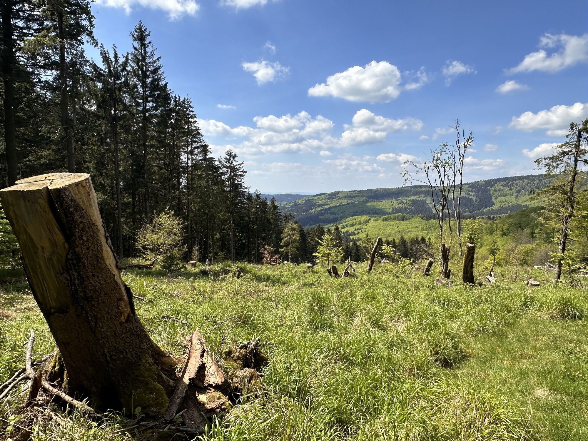
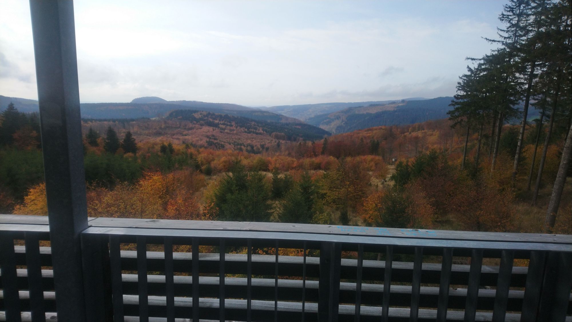
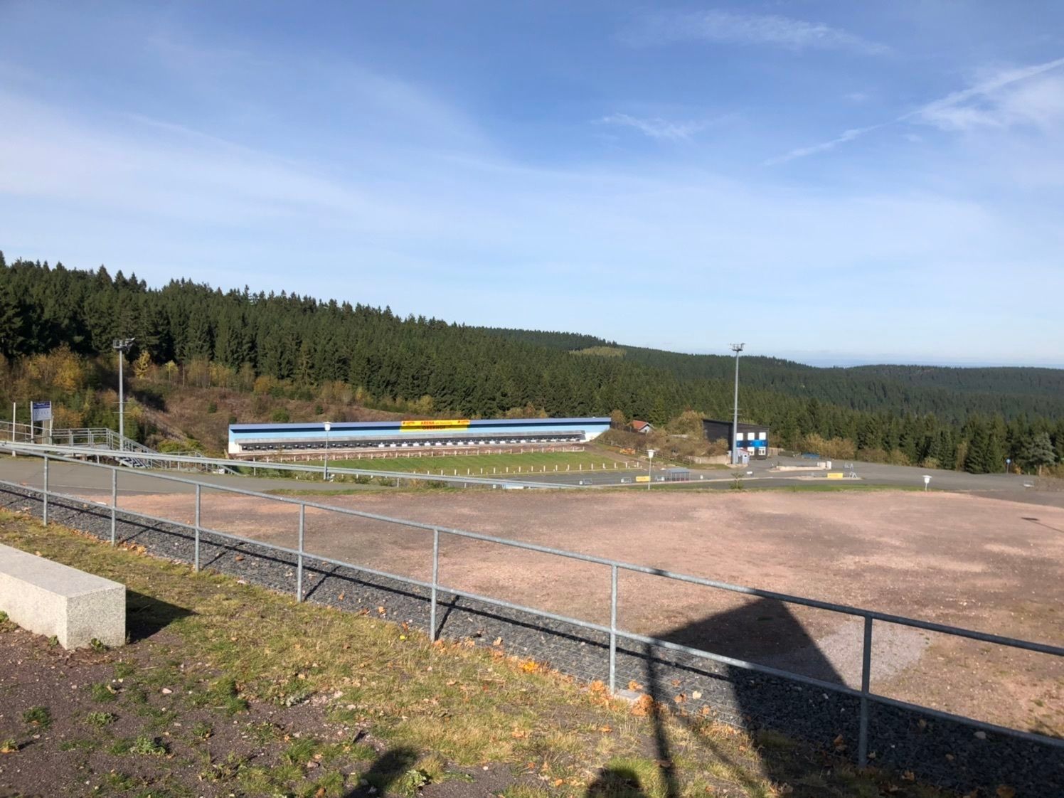
After starting at the Grenzwiese, we reach the pass of the Rennsteig via the Trockenberg and the Großer Jagdberg over the road between Schmalkalden and Friedrichroda at the Heuberghaus. From there, it...
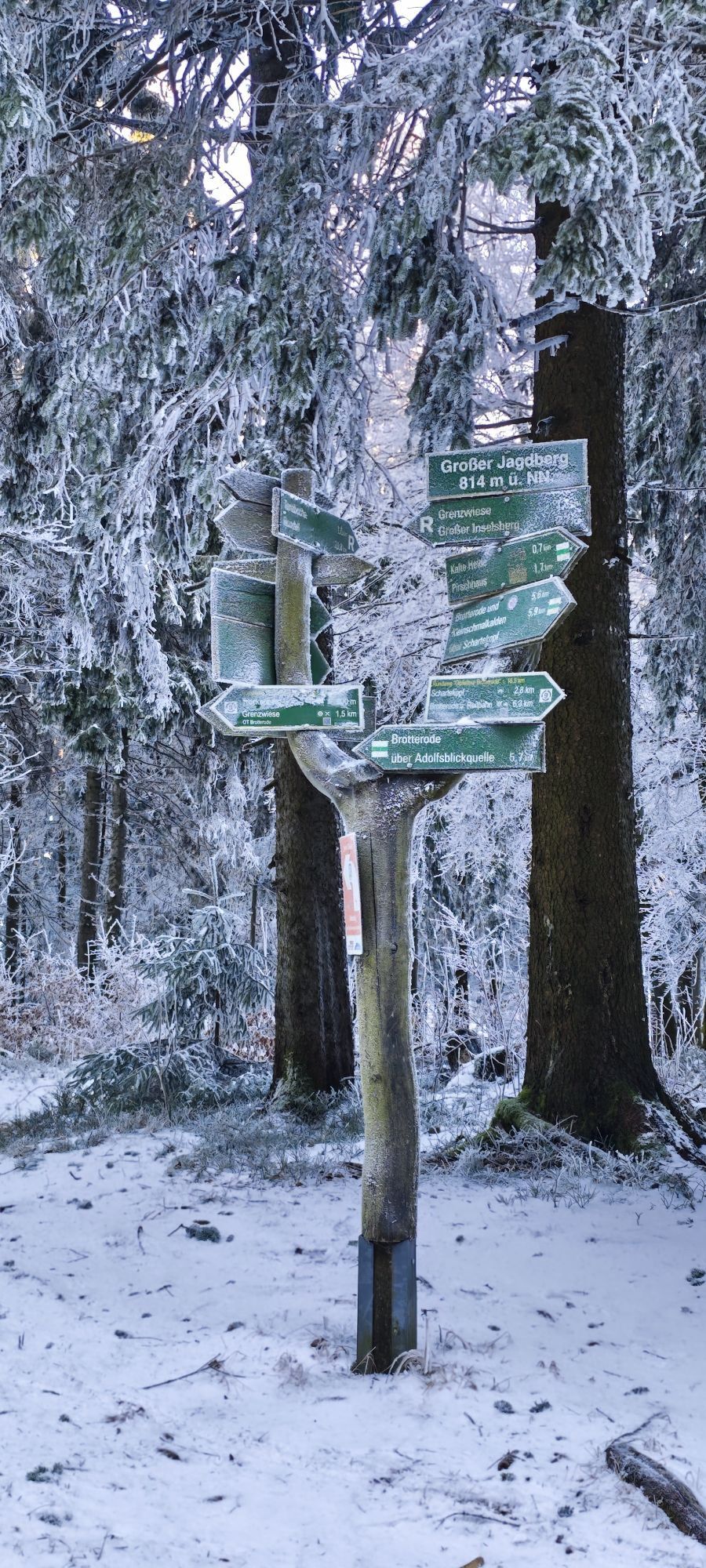
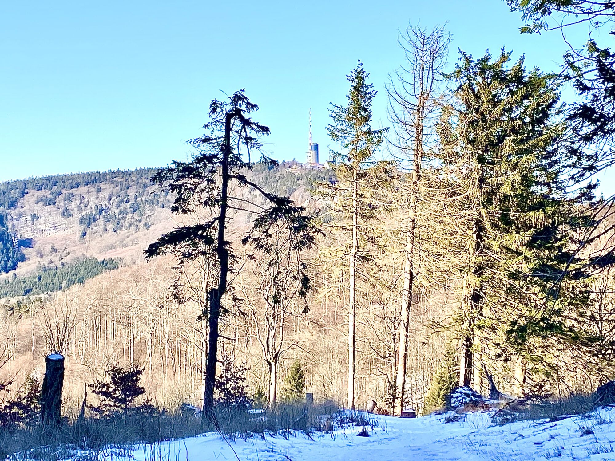
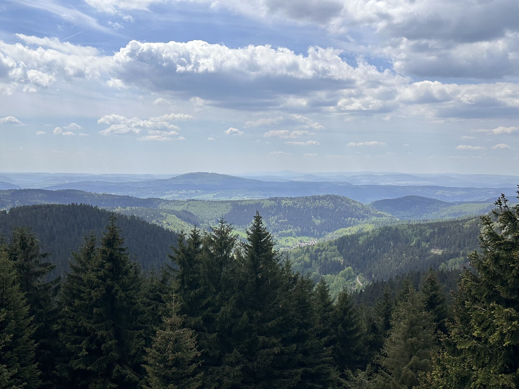
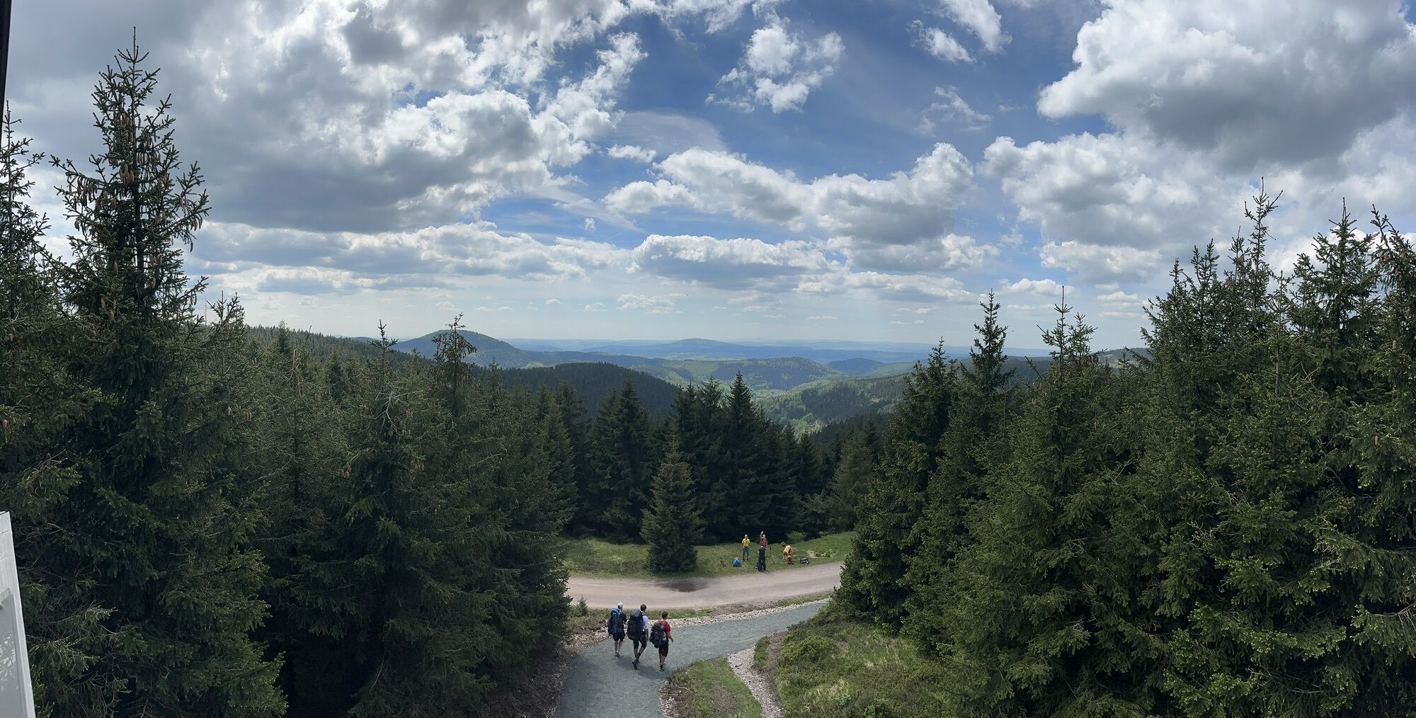
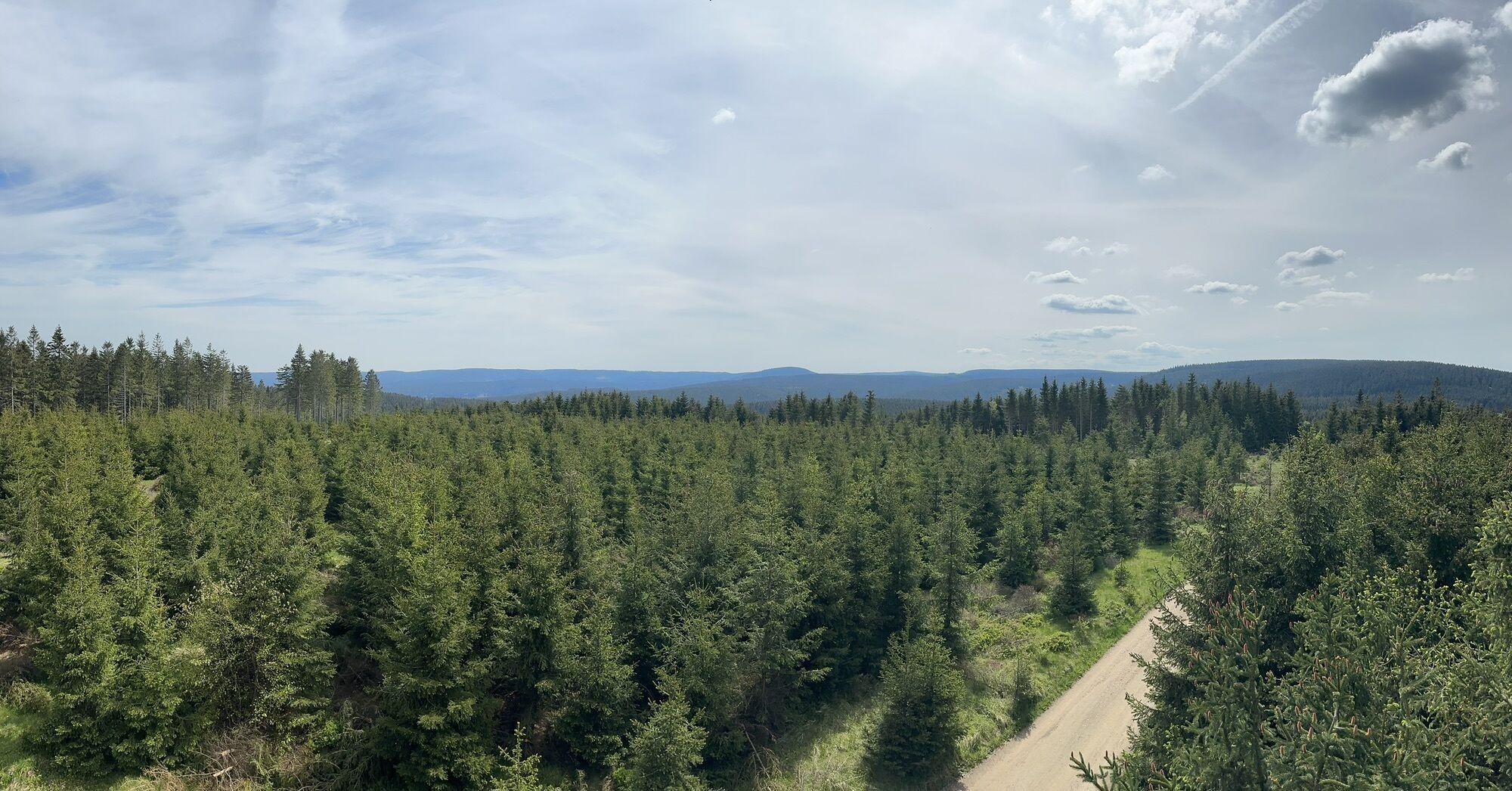
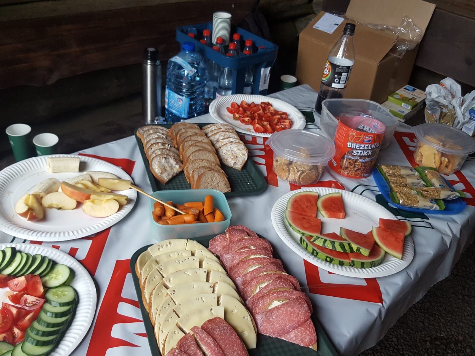
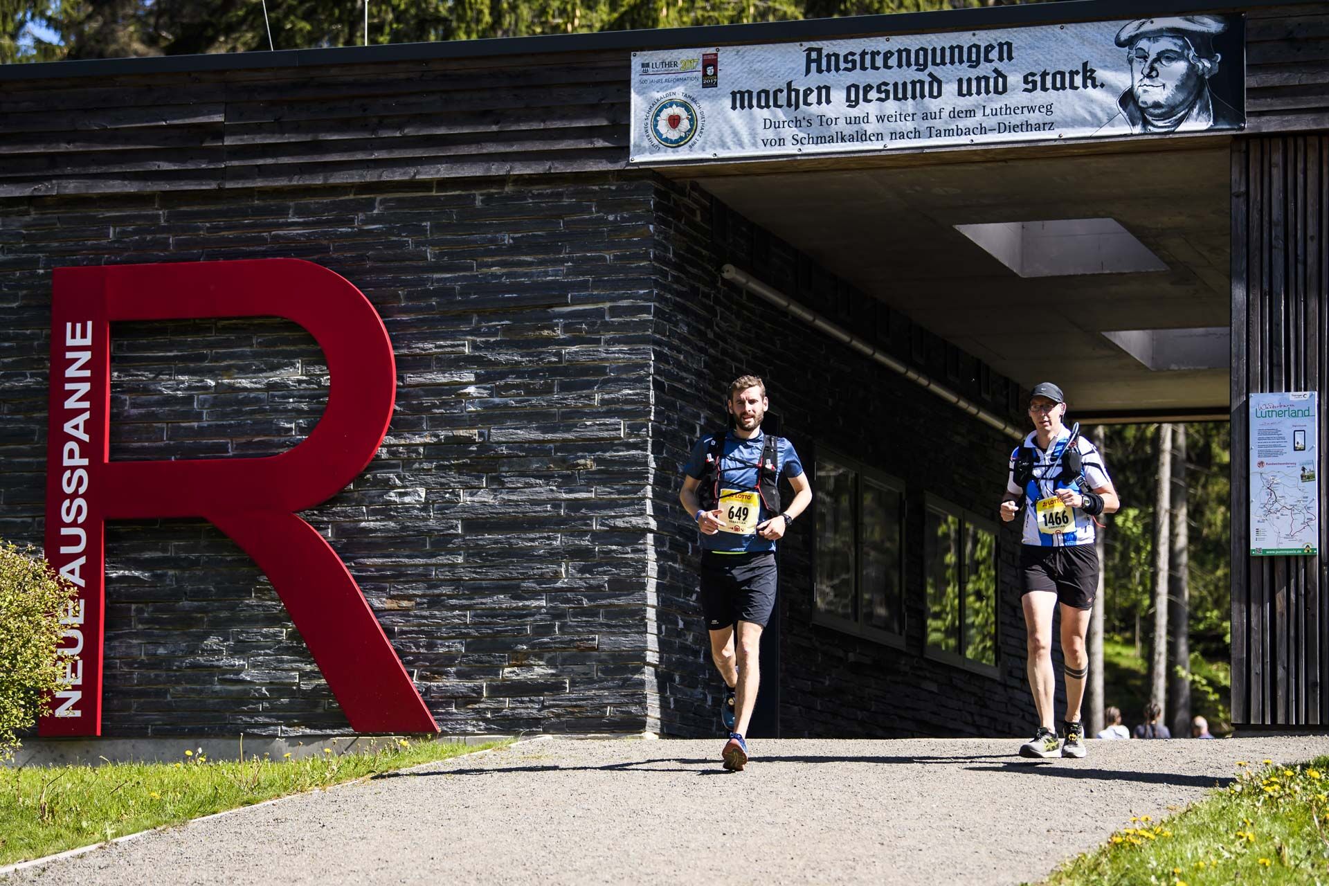
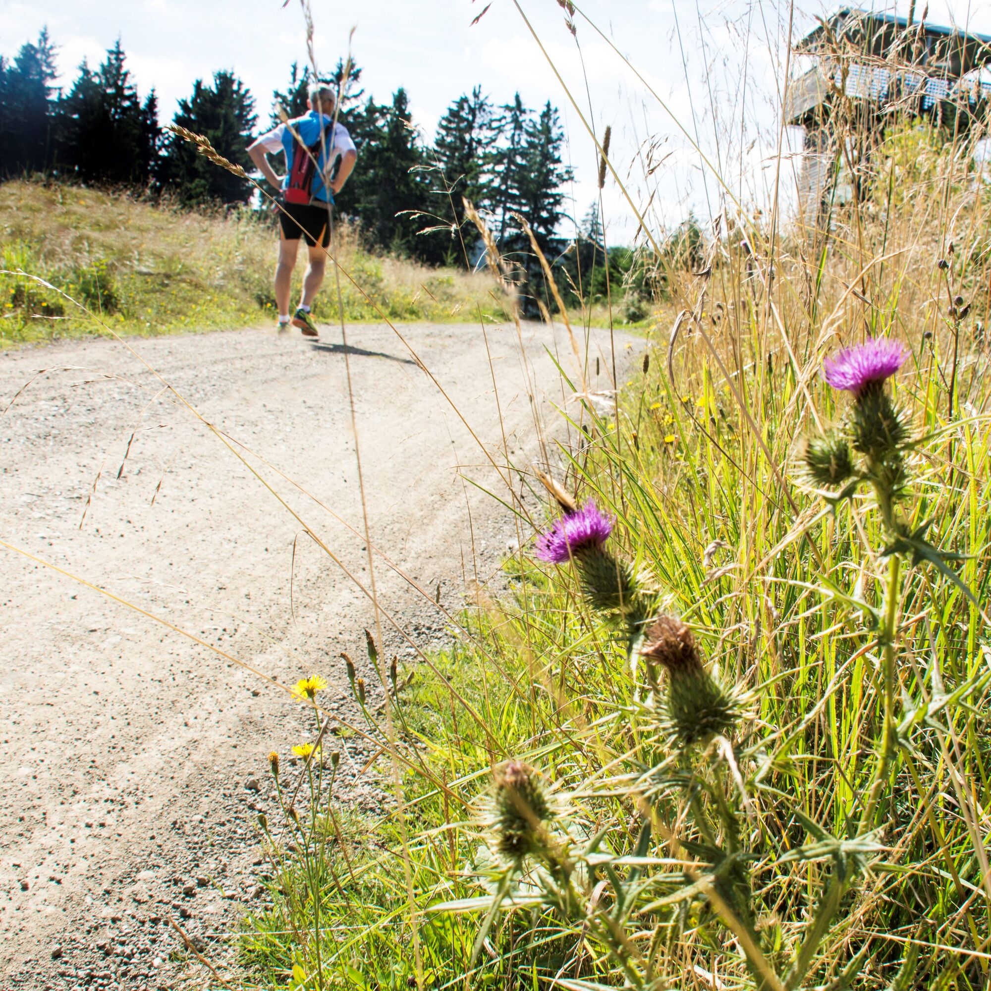
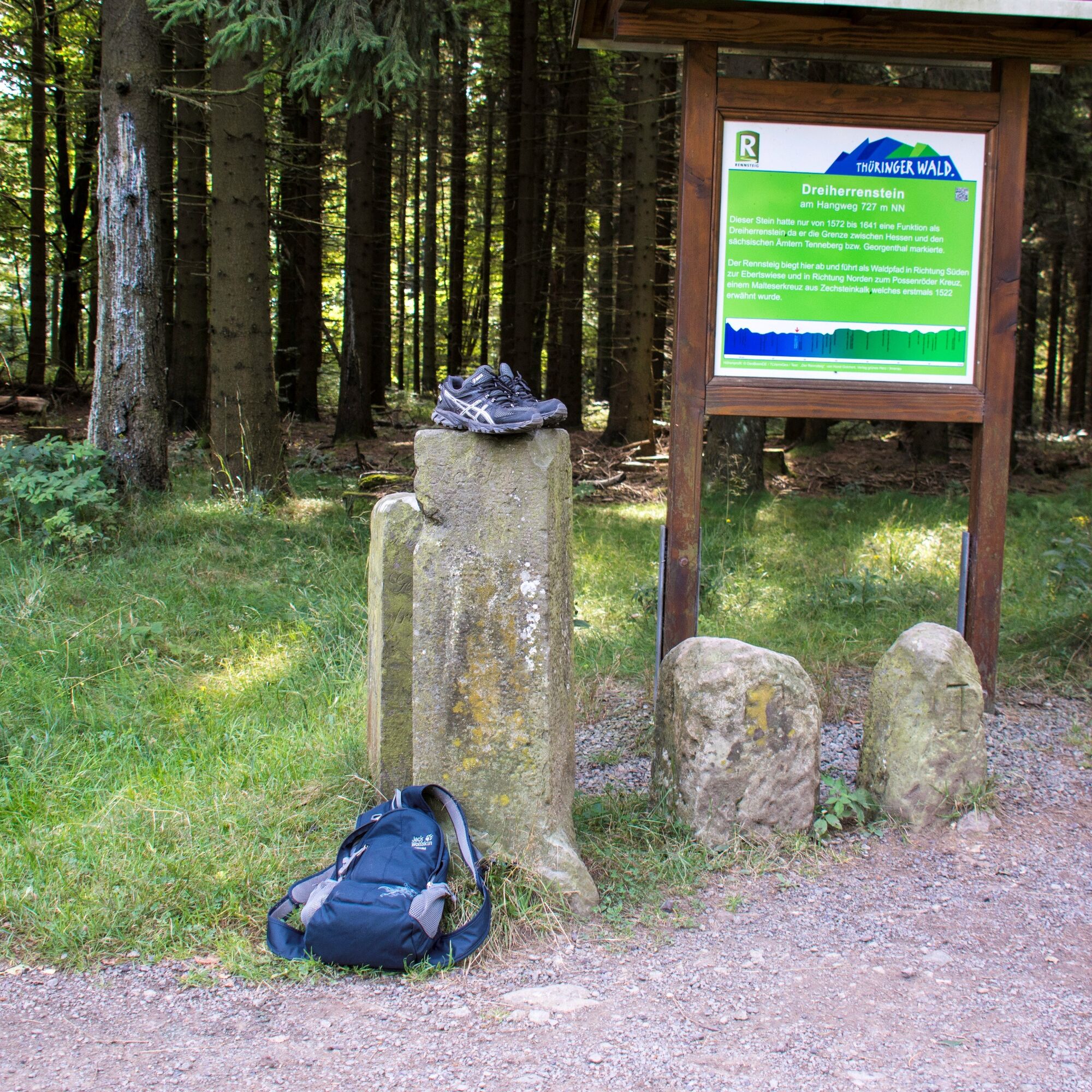
After starting at the Grenzwiese, we reach the pass of the Rennsteig via the Trockenberg and the Großer Jagdberg over the road between Schmalkalden and Friedrichroda at the Heuberghaus. From there, it is 1.7 km to the first refreshment point at the Possenröder Kreuz. Via the Ebertswiese and the Glasberg, we reach the refreshment point at the Neue Ausspanne. Here, the Rennsteig crosses the road from Schmalkalden to Tambach-Dietharz. The Rennsteig ascends to the Krämerrod, then continues over the Weidensuhlwiese to the climb to the Sperrhügel. After passing the Neuhöfer Wiese, we reach the next refreshment point at the Wachsenrasen. The Rennsteig continues past the Donnershauk to the Gustav-Freytag-Stein. Open areas offer views of the Haseltal valley heritage and the Herrmannstein as well as Dolmar. After crossing several ski roller training tracks of the Federal Performance Center Oberhof, we reach our destination at the Grenzadler.

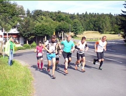
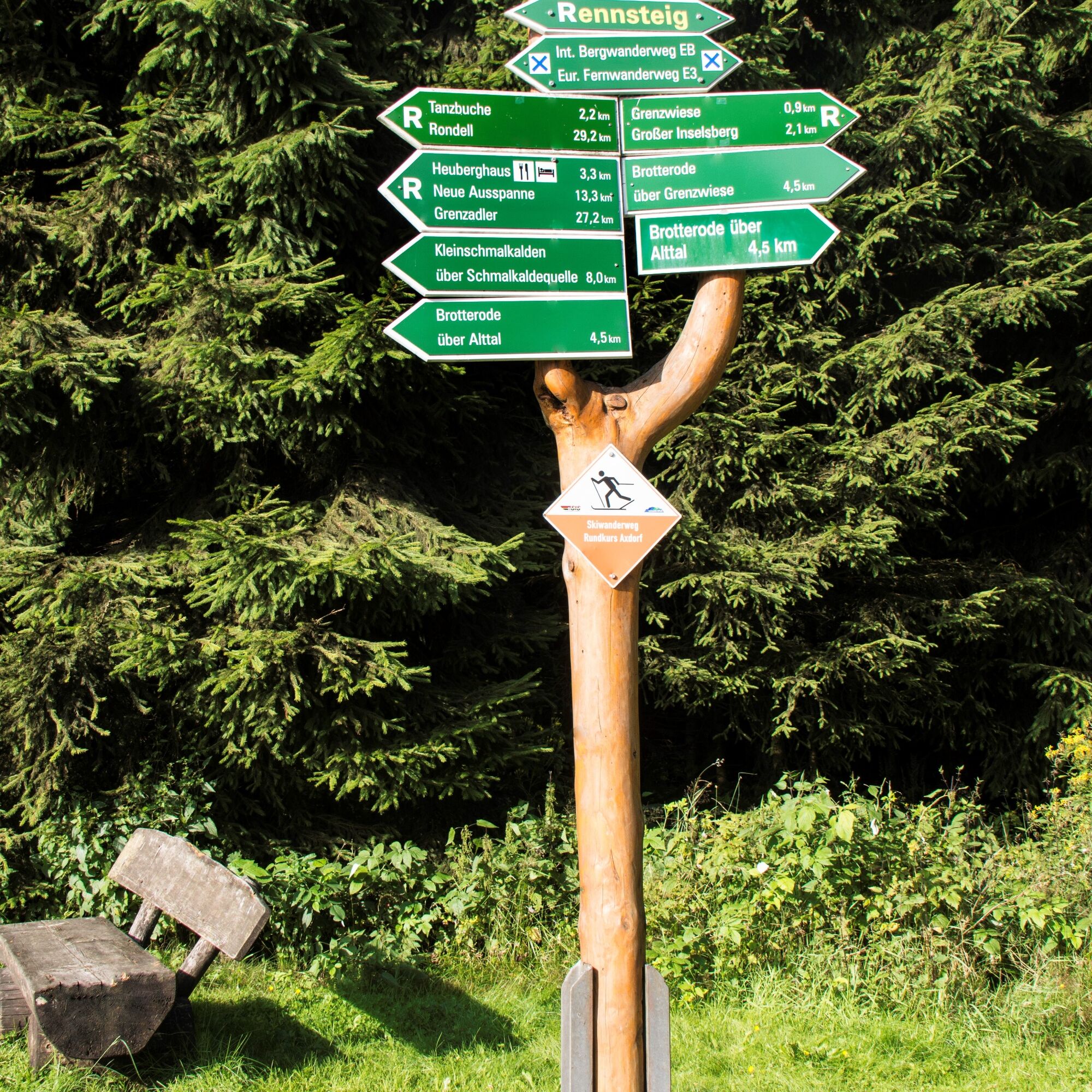
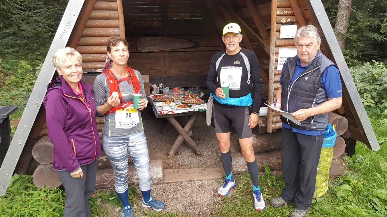

Course points 6 km/h from 8-13 km/h refreshment points
Start at Grenzwiese (723 m) 08:30 09:00
Trockenberg (0.7 km / 807 m)
Großer Jagdberg (1.3 km / 806 m)
Heuberghaus / Rstg. crosses the road
Schmalkalden-Friedrichroda (3.6 km) 09:20 09:25 - 09:35
Turnoff to Spießberghaus (4.0 km)
Possenröder Kreuz (6.3 km / 700 m) 09:05 09:30 - 09:50 x
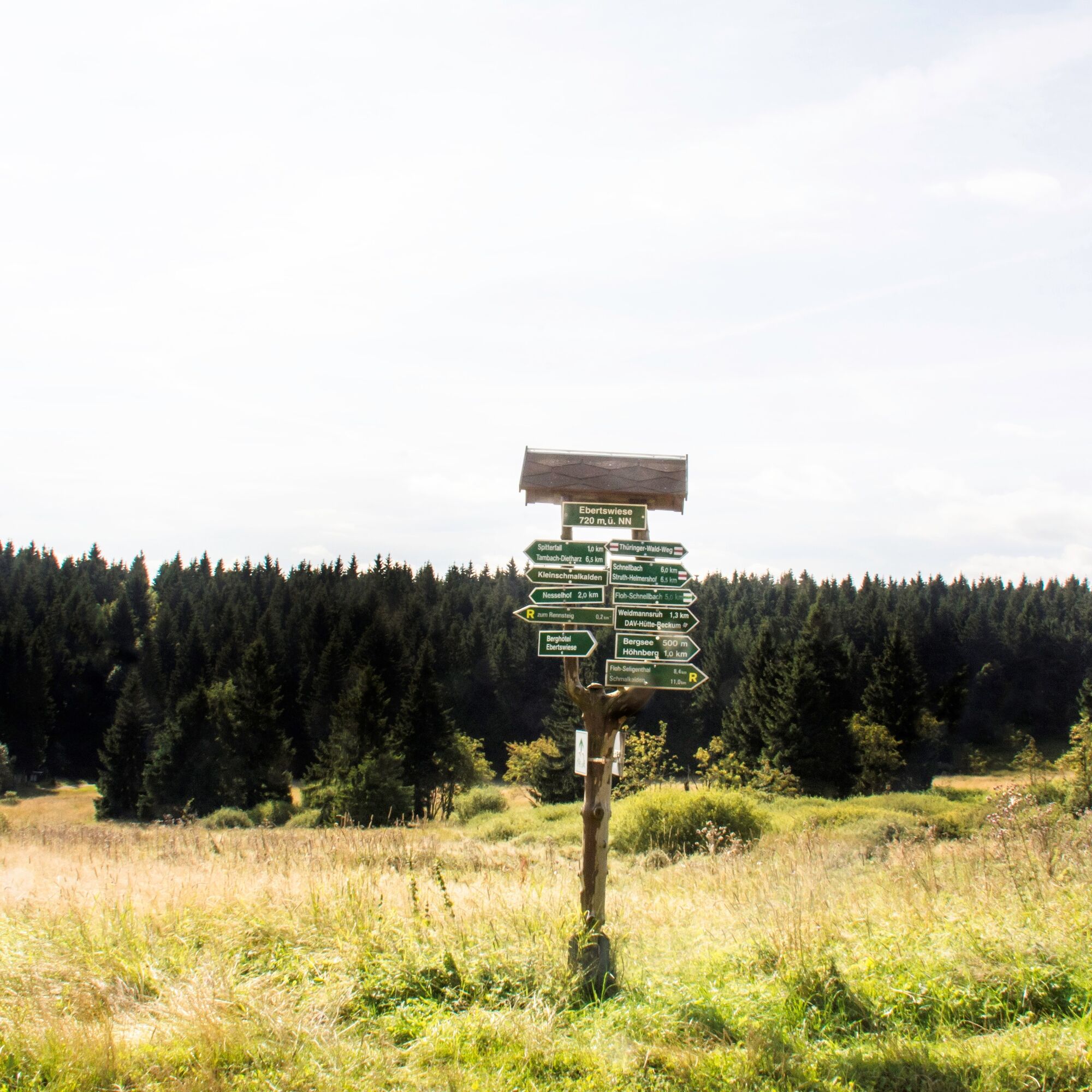
Spitterbrücke Ebertswiese (10.5 km / 720 m)
Glasberg (11.2 km / 761 m)
Alte Ausspanne (11.8 km / 742 m)
Neue Ausspanne at Nesselberg,
Crossing on the road Schmalkalden- 10:00 10:05 - 10:50 x
Tambach-Dietharz (13.5 km / 714 m)
Krämerrod (14.2 km / 765 m)
Sperrhügel / Schmalkalder Loibe
Highest point of the stage (16.8 km / 881 m):
Rest area at
Neuhöfer Wiesen (18.0 km / 850 m)
Wachsenrasen on the path
Oberschönau - Tambach-Dietharz.
(20.5 km / 815 m) 12:10 10:42 - 11:15 x
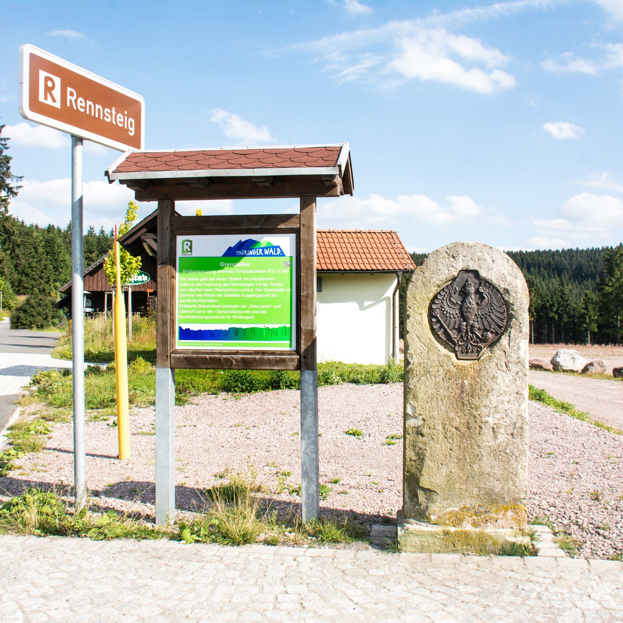
Grenzadler on the road Steinbach -
Hallenberg – Oberhof (27.1 km / 835 m)
Stage finish (27.3 km / 837 m)
Grenzadler 13:05 11:05 finish refreshment
The stage runs are running events in which, in addition to runners, strong walking enthusiasts can also start if they meet the minimum requirement regarding average speed, namely 6 km/h, on the heavily contoured course with ascents and descents totaling about 6500 meters of elevation. Preparation for the high endurance load of the stage run requires marathon training over several months. We recommend a sports medical examination, preferably with stress ECG.

Kamery internetowe z trasy
-
Bergstation Großer Inselsberg
-
Fallbachhang Bergstation
-
Haus des Gastes in Oberhof
-
Tabarz
-
Berggasthof "Spießberghaus"
-
Rennsteiggarten Oberhof
-
Berggasthof "Spießberghaus"
-
Pension Schmiechen Oberhof
-
Kleiner Inselsberg / Sommerrodelbahn
-
Brotterode - Berggasthof Stöhr
-
Steinbach-Hallenberg / Am Knüllfeld
-
Friedrichroda - Berghotel
-
Bad Tabarz - Aussichtsturm Inselsberg
-
Rennsteig - Loipe am Stein 16
-
Sportgymnasium Oberhof
-
Golfkletterpark Oberhof
-
Ferien Hotel Rennsteigblick

Popularne wycieczki w okolicy
-
4,3
Rund um die Ohratalsperre
światłoWędrówka 14,5 km -
4,6
Summit and panoramic route - Route 1 - Bad Tabarz
średniWędrówka 10,9 km -
4,4
Circular hike "Old Tambach Dam", Tambach-D., Thuringian Forest
średniWędrówka 8,33 km -
3,8
Wanderung zum Spitterfall
średniWędrówka 14,6 km -
4,8
Circular hike - Schmalwasser reservoir - Tambach-Dietharz - Thuringian Forest
średniWędrówka 13,8 km -
4,0
Circular hiking route "Oberschönauer Felsenwanderung" - Steinbach-Hallenberg - Thuringian Forest
ciężkiWędrówka 12,0 km -
Tabarzer Vulkansteig
średniWędrówka 9,91 km -
4,4
Circular hiking trail - "Trusetal Landmark Route" - Thuringian Forest
światłoWędrówka 4,02 km -
4,0
Zu den Schanzen im Kanzlersgrund
średniWędrówka 9,58 km -
4,8
Inselsberg tour - Tour 2 - Bad Tabarz
ciężkiWędrówka 15,1 km
Wędrówki i tropienie


Nie przegap ofert i inspiracji na następne wakacje
Twój adres e-mail została dodana do listy mailingowej.





