


Rennsteig - Stage Run - 3rd Stage Neustadt am Rennsteig - Oberhof
Zdjęcia naszych użytkowników
-

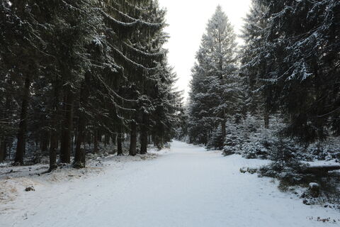
 © Aam1983Utworzono dnia 01.02.2026
 -

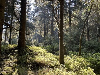
 © JensMUtworzono dnia 30.10.2025
 -
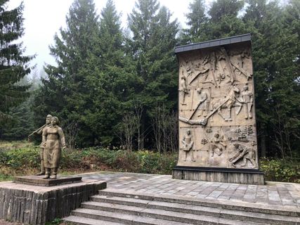
 © JensMUtworzono dnia 30.10.2025
 -

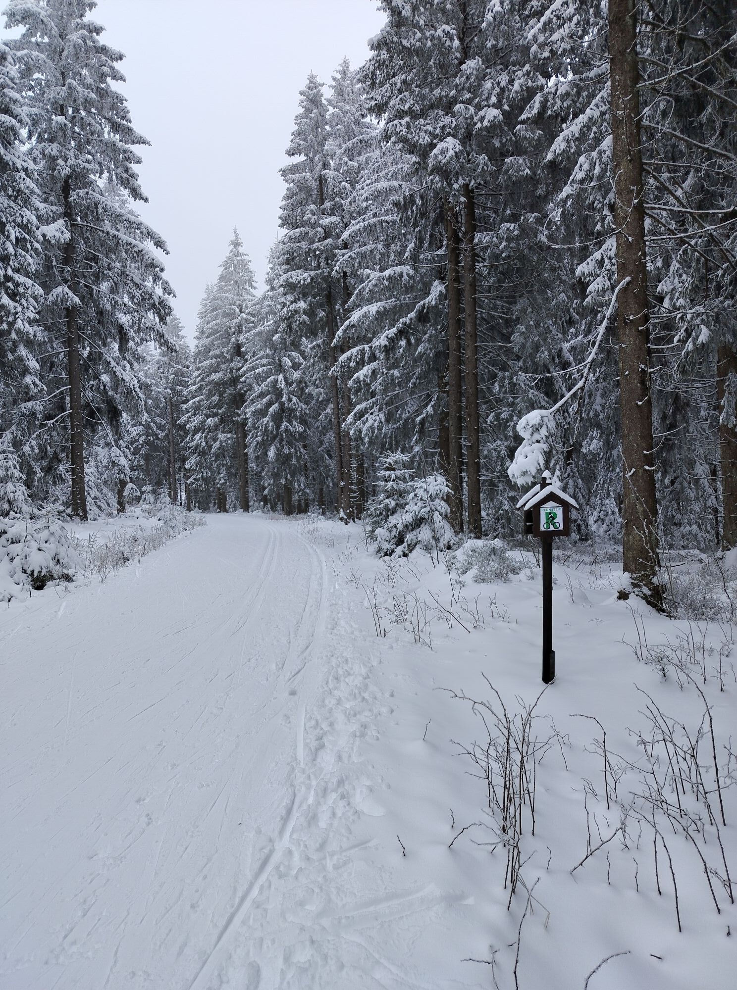
 © Andreas EcksteinUtworzono dnia 15.08.2025
 -
 © Patrick SchmoTTUtworzono dnia 14.06.2025
 -
 © Jana RudloffUtworzono dnia 26.04.2025
 -
 © Jana RudloffUtworzono dnia 26.04.2025
 -
 © Christian LeubeUtworzono dnia 17.02.2025
 -

 © Norbert HerbigUtworzono dnia 31.10.2024
 -
 © Norbert HerbigUtworzono dnia 12.05.2024
 -
 © Norbert HerbigUtworzono dnia 12.05.2024
 -
 © Norbert HerbigUtworzono dnia 12.05.2024
 -
 © Christian SchulzUtworzono dnia 26.10.2019


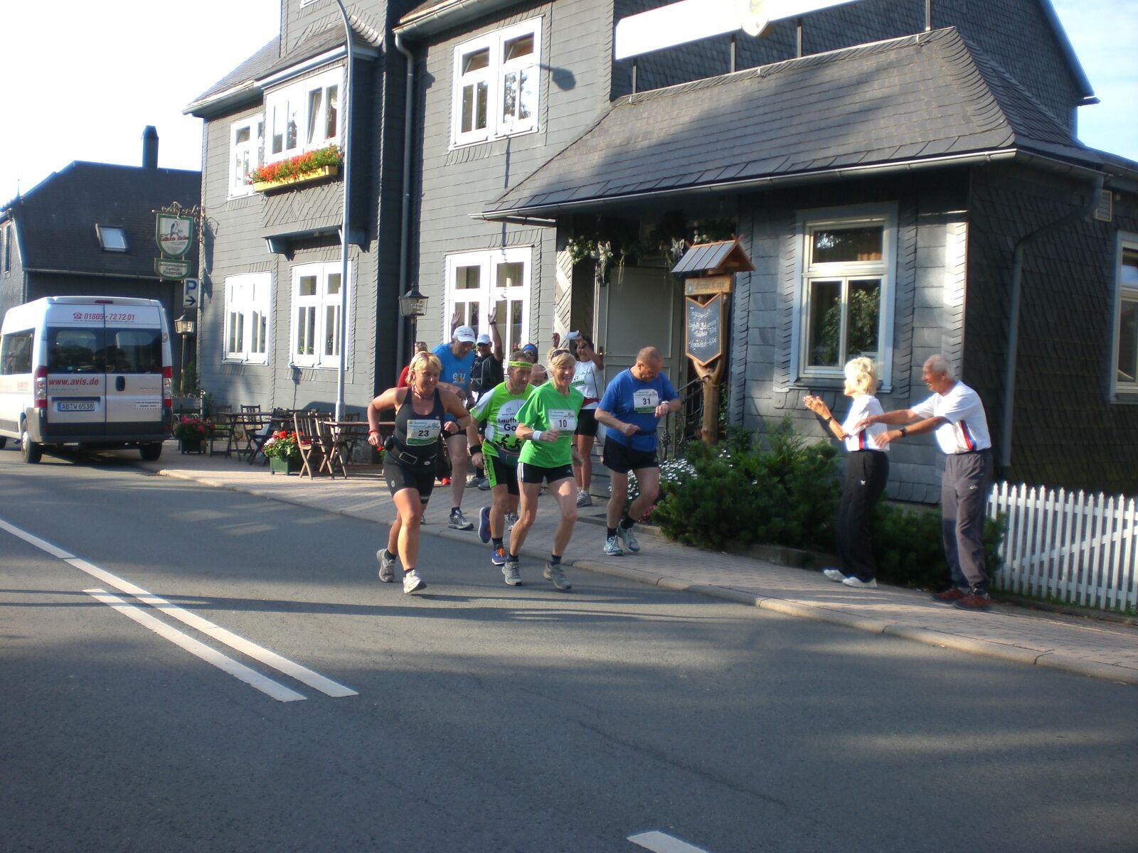
The 3rd stage of the Rennsteig stage run starts at Rennsteighotel and Gasthof Hubertus in Neustadt am Rennsteig. From there, the Rennsteig runs along the village road to the northern exit of the town....
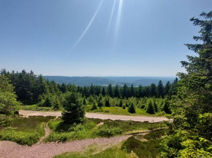
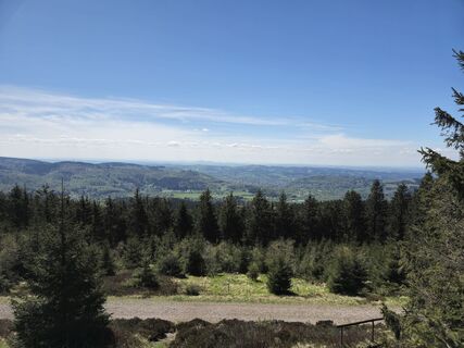
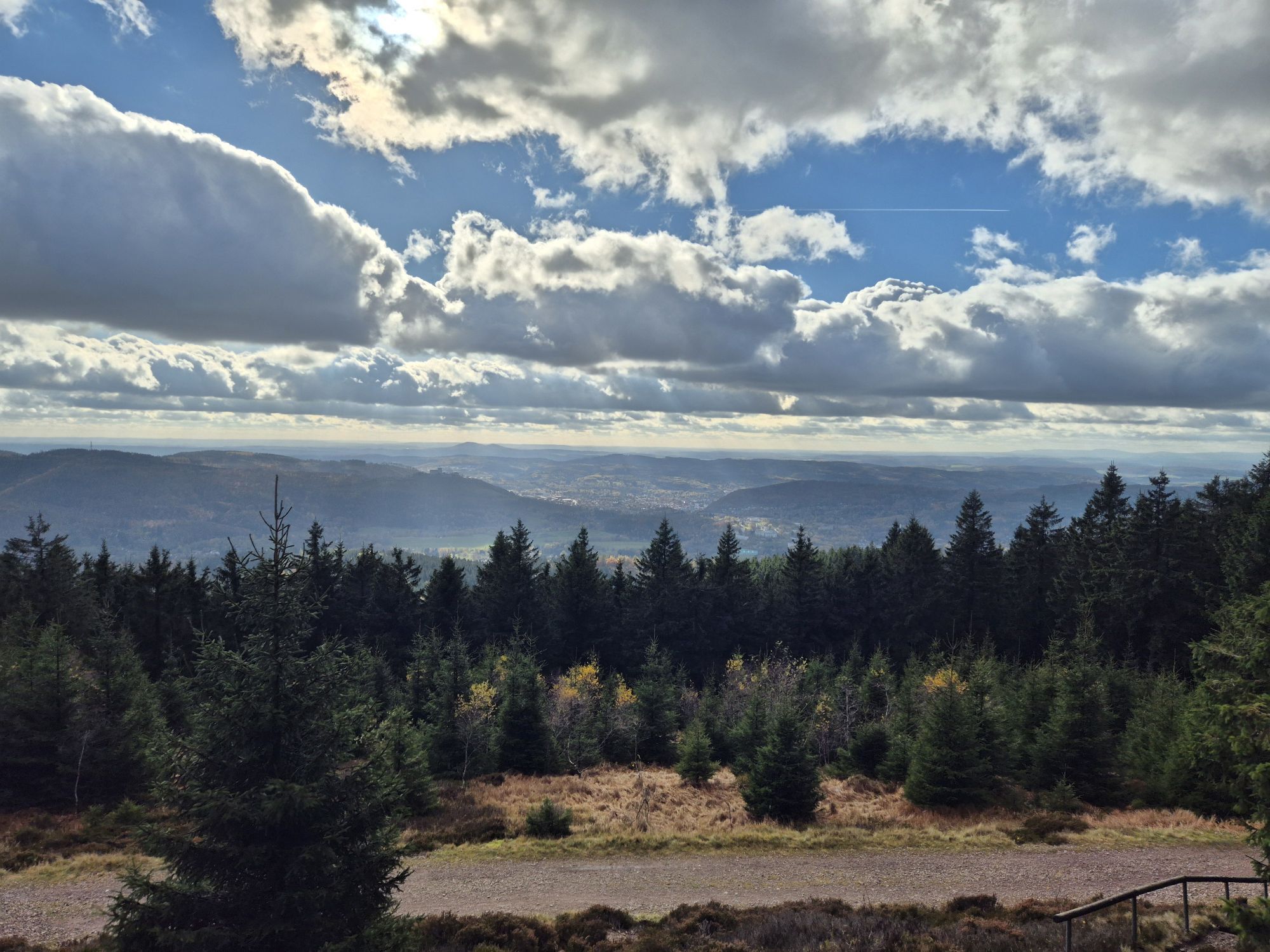
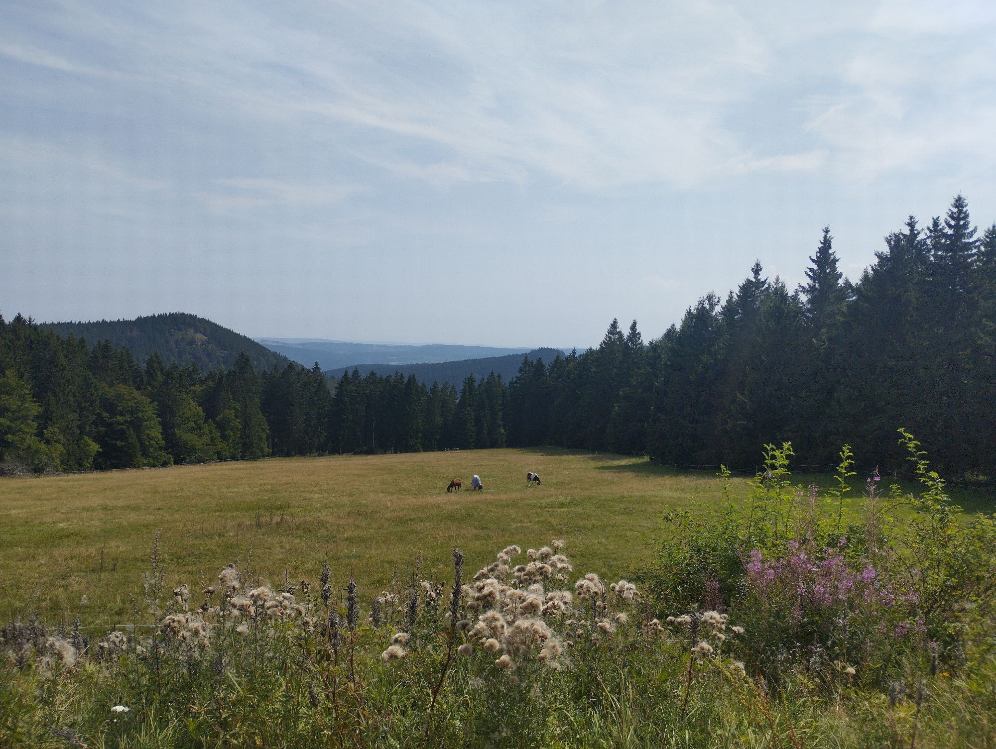
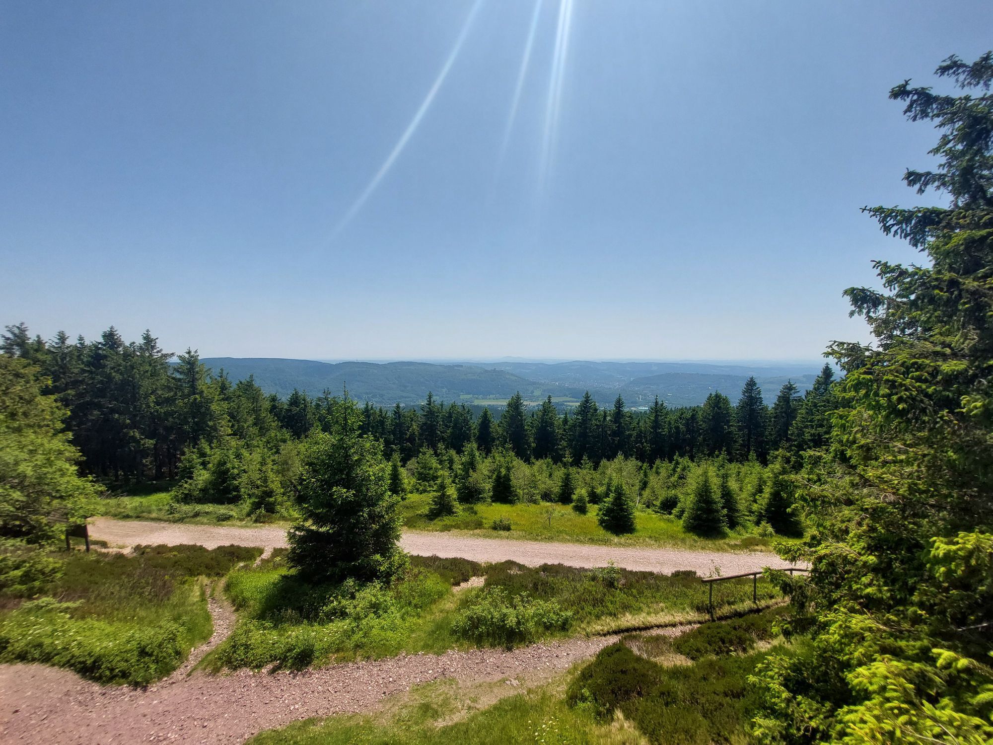
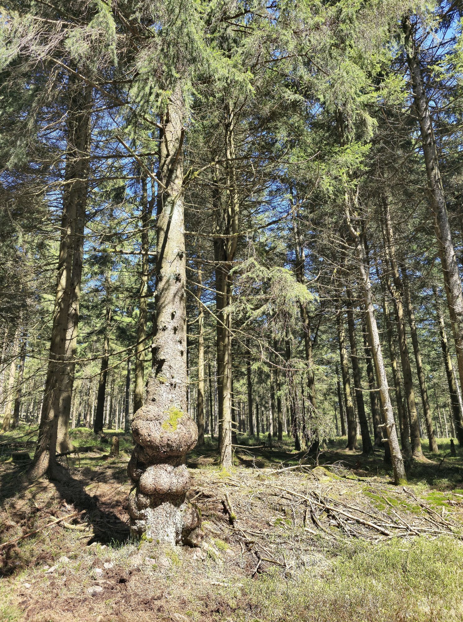
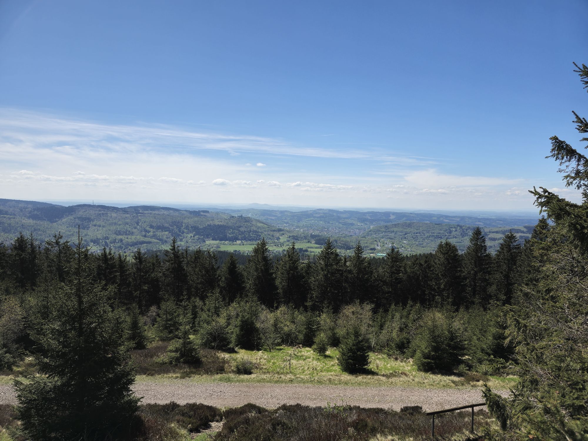
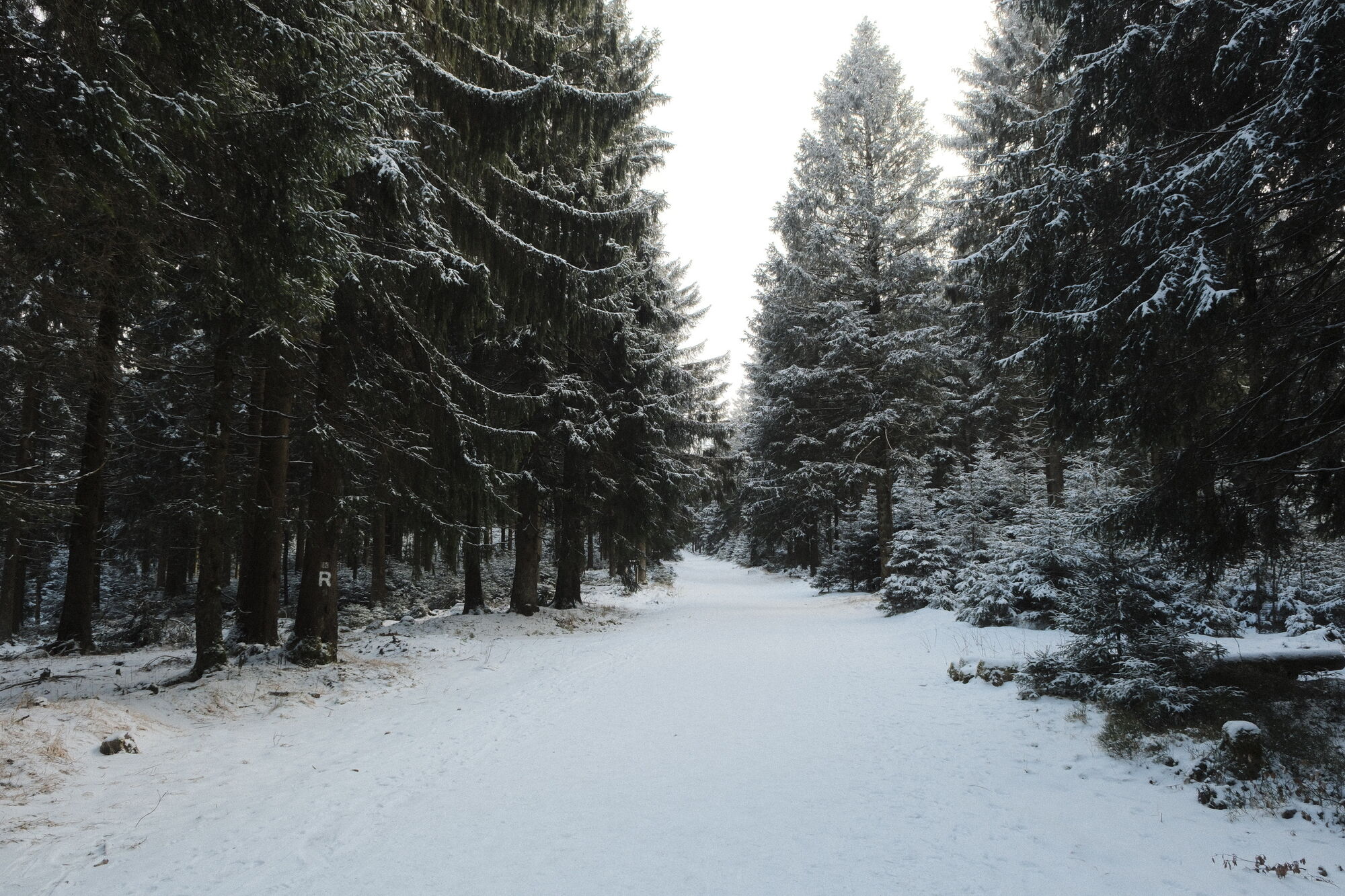
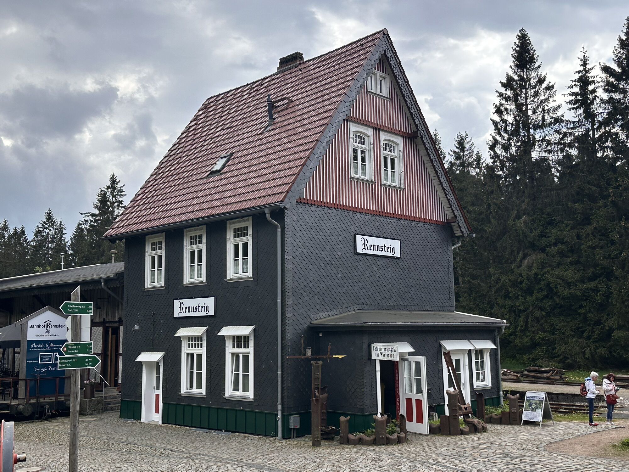
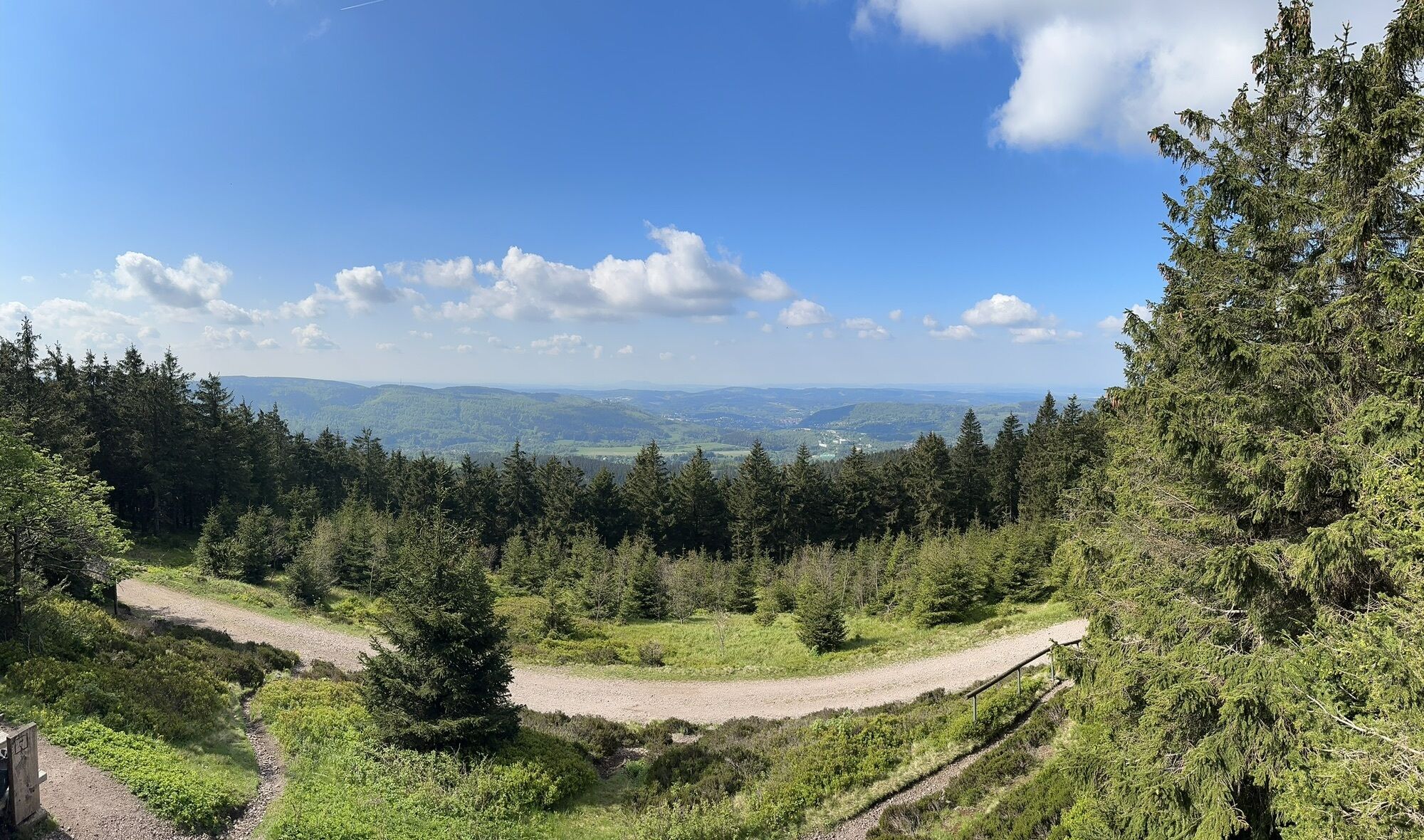
The 3rd stage of the Rennsteig stage run starts at Rennsteighotel and Gasthof Hubertus in Neustadt am Rennsteig. From there, the Rennsteig runs along the village road to the northern exit of the town. Then it turns left onto a meadow path. Afterwards, the Große Burgberg is crossed via a forest path. Then the Rennsteig leads north of the road connecting Neustadt and Ilmenau to the Großer Dreiherrenstein. From the Großer Dreiherrenstein, the Rennsteig runs westwards over forest paths and root paths to the Rennsteig train station and further to the Rennsteig crossing. Over forest paths that cross the road between the Rennsteig crossing and Oberhof several times, the Rennsteig reaches the Wetterstation Schmücke. Between Schmücke and Suhler Ausspanne, the highest point of the Rennsteig is reached at Plänckners Aussicht (973 m above sea level). From Suhler Ausspanne to the Rennsteiggarten and Rondell, the Rennsteig runs northwards towards Oberhof. After the Rondell, the route goes uphill to the Dietzel-Geba Stone, also called Stone 16. There, the racecourse leaves the Rennsteig, descending northeast to the finish at the Sporthotel Oberhof.


Times for the Rennsteig Run 2019:
Start at the guesthouse ”Hubertus”: 08:30 / 09:00
Großer Dreiherrenstein 5.0 km: 09:15 – 09:25
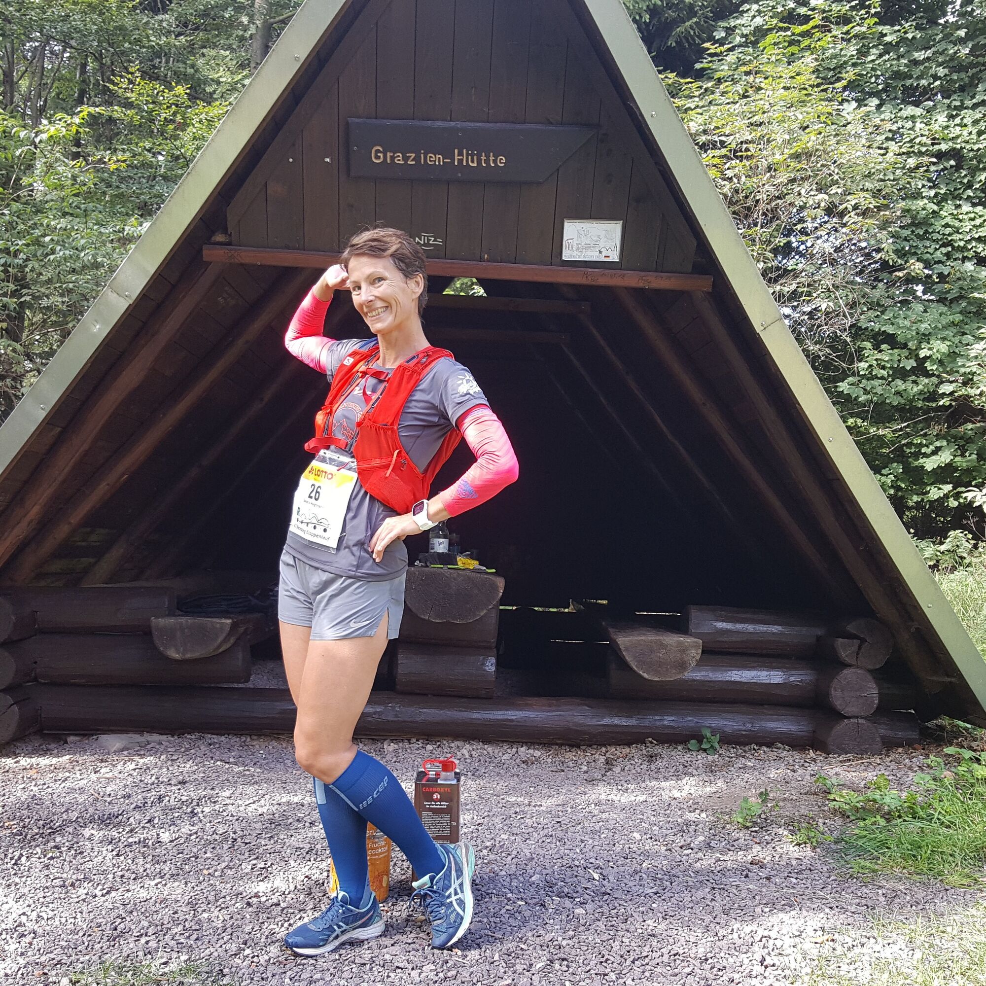
Grazienhütte 11.8 km: 09:55 – 10:25
Weather station at Schmücke 18.4 km: 10:25 – 11:30
Sommerweise 23.5 km: 10:50 – 12:25
Finish: Sporthotel Oberhof 27.5 km: 11:05 - 13:05
The stage runs are running events where, besides runners, also strong walkers can start if they meet the minimum average speed requirement of at least 6 km/h on the starting profiled route with ascents and descents totaling about 6500 meters of elevation. Preparation for the high endurance load in the stage run roughly requires marathon training over several months. Therefore, we recommend a sports medical examination, preferably with a stress ECG.
Coming from the A71, take exit 15 (Ilmenau Ost) and continue south on the B88 towards Gehren. There, turn right onto the L1047 towards Möhrenbach / Großbreitenbach. At Hohe Tanne, continue west on the L1143 towards Neustadt am Rennsteig.
Neustadt can be reached by bus line 304 from the direction of Ilmenau (connection train from Erfurt direction). To query connections, simply use the following link and enter your starting point in the DB travel planner:
→ Arrival in Neustadt, Kaufhalle
From Oberhof back to Neustadt:
Here you can obtain a direct and up-to-date connection information back to your starting point: Oberhof → Neustadt, Kaufhalle
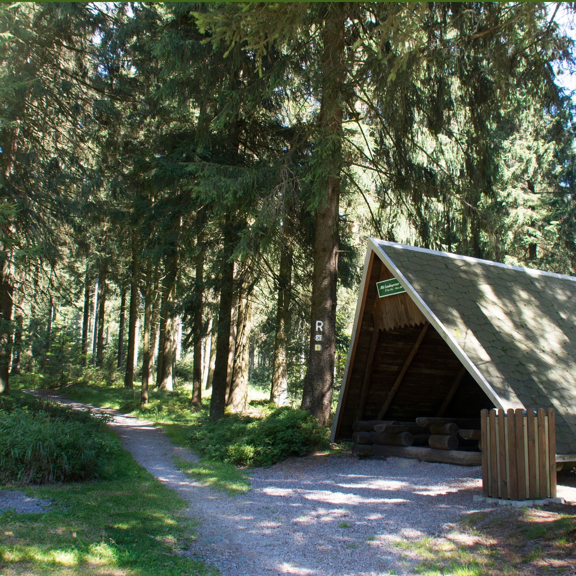
Neustadt am Rennsteig lies at an altitude of 805 meters above sea level in the middle of the Rennsteig, which in the 18th century marked the border between the principalities of Schwarzburg-Sondershausen (northward) and Sachsen-Meiningen (southward).
The Großer Dreiherrenstein marked from 1596 the border between the duchies of Sachsen-Hildburghausen, Henneberg-Schleusingen, and Schwarzburg-Sondershausen. West of the Dreiherrenstein lies near the center of the 168.3 km long Rennsteig.
At Rennsteig station, the railway line from Erfurt to Schleusingen, opened in 1904 and closed in 2001, reached its highest point at 747 meters above sea level.
At the Alte Tränke, cattle from the downslope village of Schmiedefeld were once pastured and watered.
The name Mordfleck derives from the term Moorfleck. From here, looking north, there is a view of the Großer Finsterberg (944 m above sea level), and to the south, the Hotel Ringberghaus can be seen.
Below the Großer Beerberg, with 982 m the highest mountain of the Thuringian Forest, lies at 973 m Plänckners Aussicht, the highest point of the Rennsteig.
At Suhler Ausspanne the formerly Suhl to Crawinkel running road reached its highest point. Up to there, horsedrawn conveyances received support uphill by additional teams of horses.
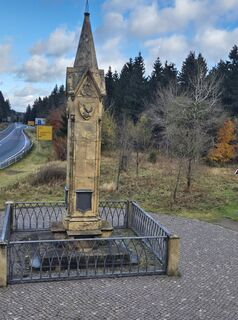
At the Rondell is an obelisk honoring the construction of the connecting road from Gotha to Suhl, built under Julius von Plänckner's leadership from 1830 to 1882. There is also the Rennsteiggarten, where over 4000 alpine plants from around the world have found a home.
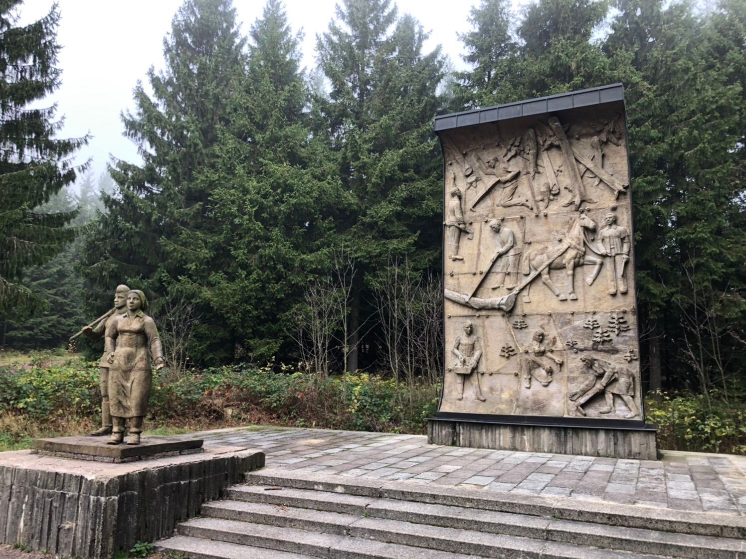
The Dietzel-Geba Stone reminds that in 1734 Hesse, Saxony, and Sachsen-Gotha shared a common border here. The stone is named after a highway robber who was executed here in 1498.
Kamery internetowe z trasy
-
Fallbachhang Bergstation
-
Haus des Gastes in Oberhof
-
Frauenwald am Rennsteig
-
Neustadt am Rennsteig
-
Rennsteiggarten Oberhof
-
Pension Schmiechen Oberhof
-
Fallbachhang Talstation
-
Rennsteig - Loipe am Stein 16
-
Oberhof - Schneekopfturm
-
Sportgymnasium Oberhof
-
Schmiedefeld
-
Golfkletterpark Oberhof
-
Schlossberg Stützerbach
Popularne wycieczki w okolicy
-
4,4
Circular route - Around the Heyda Dam - Thuringian Forest
średniWędrówka 7,59 km -
5,0
Naturlehrpfad Gießübler Schweiz
średniWędrówka 7,99 km -
3,0
Circular hike - "4 ponds hike" Neustadt am Rennsteig - Thuringian Forest
ciężkiWędrówka 12,6 km -
3,8
Rundweg Talsperre
średniJazda na rowerze 14,5 km -
4,0
Circular hiking route "Oberschönauer Felsenwanderung" - Steinbach-Hallenberg - Thuringian Forest
ciężkiWędrówka 12,0 km -
The Rennsteig - long-distance hiking trail from Hörschel to Blankenstein - Thuringian Forest
ciężkidługodystansowy szlak pieszy 169,0 km -
4,0
Zu den Schanzen im Kanzlersgrund
średniWędrówka 9,58 km -
4,5
Hike over the Rennsteig & the Schneekopf to the Schmücke
ciężkiWędrówka 20,9 km -
5,0
Hiking - Summit hiking trail - Suhl-Goldlauter - Thuringian Forest
ciężkiWędrówka 32,1 km -
Circular hike - Around the Schönbrunn reservoir - Thuringian Forest
średniWędrówka 15,6 km
Wędrówki i tropienie


Nie przegap ofert i inspiracji na następne wakacje
Twój adres e-mail została dodana do listy mailingowej.