







Road cycling route - "The little three" - Thuringian Forest
Poziom trudności: 4
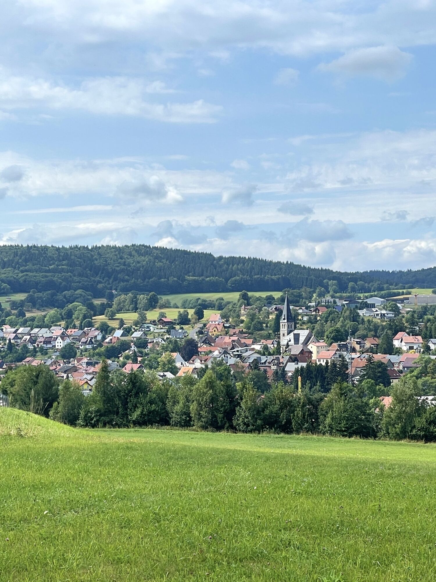

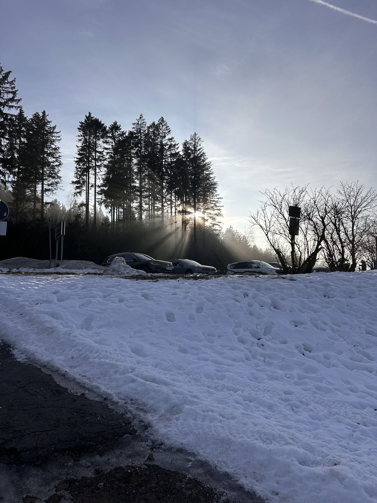
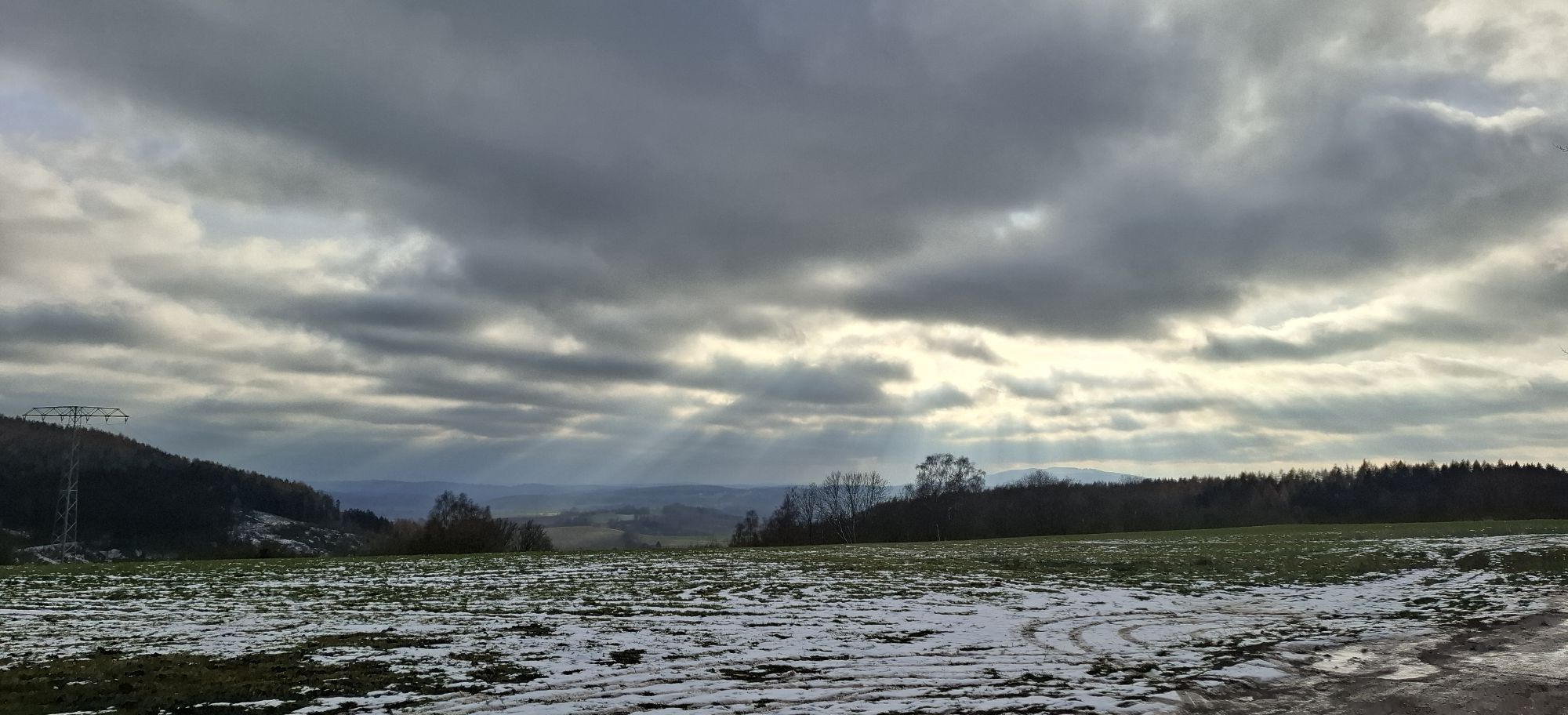
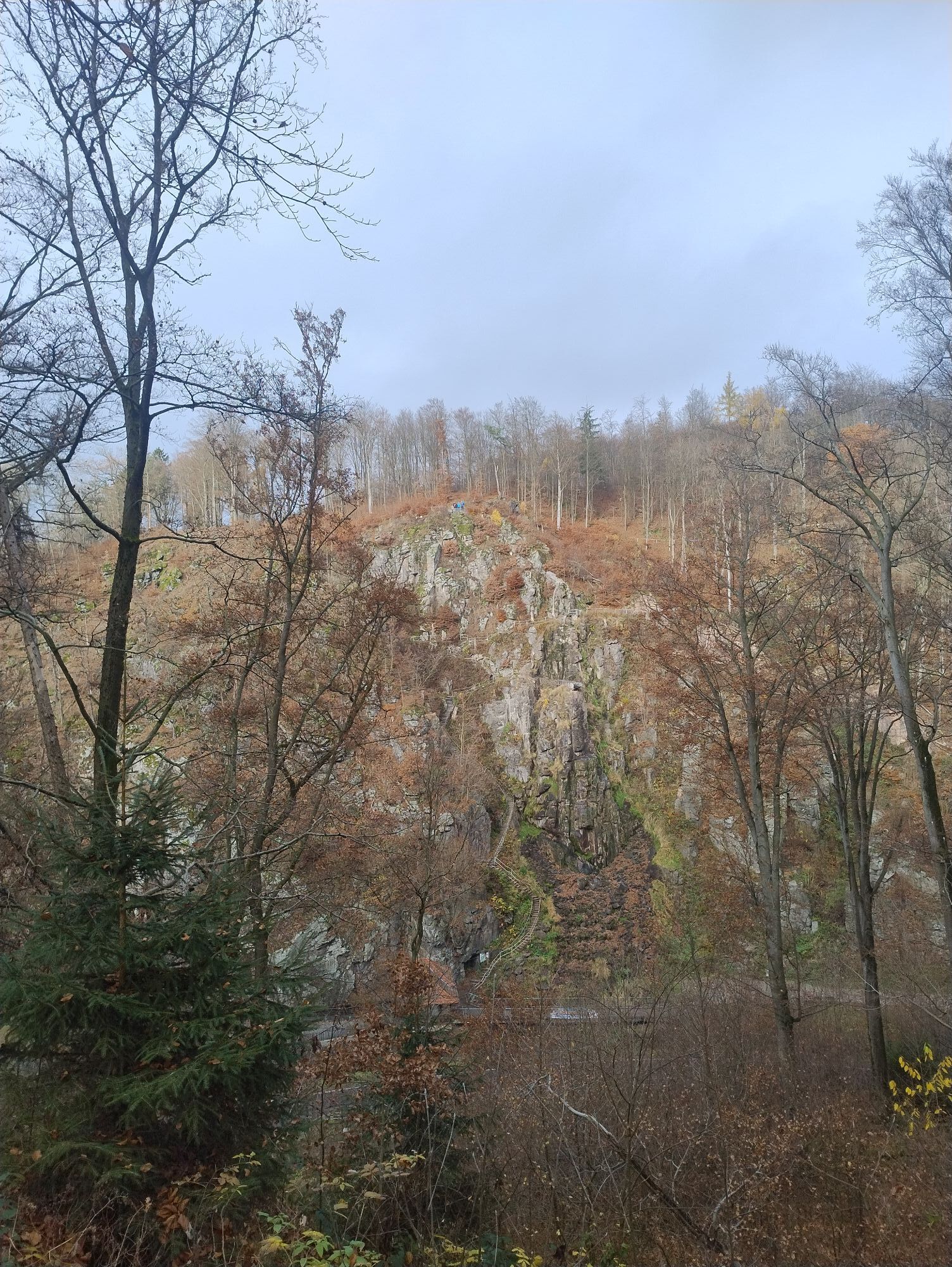
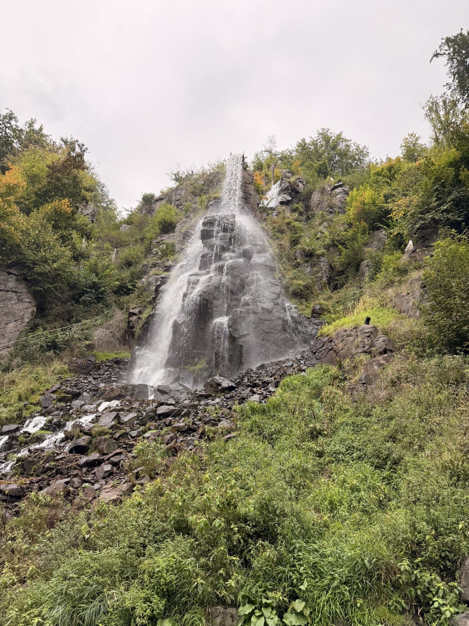
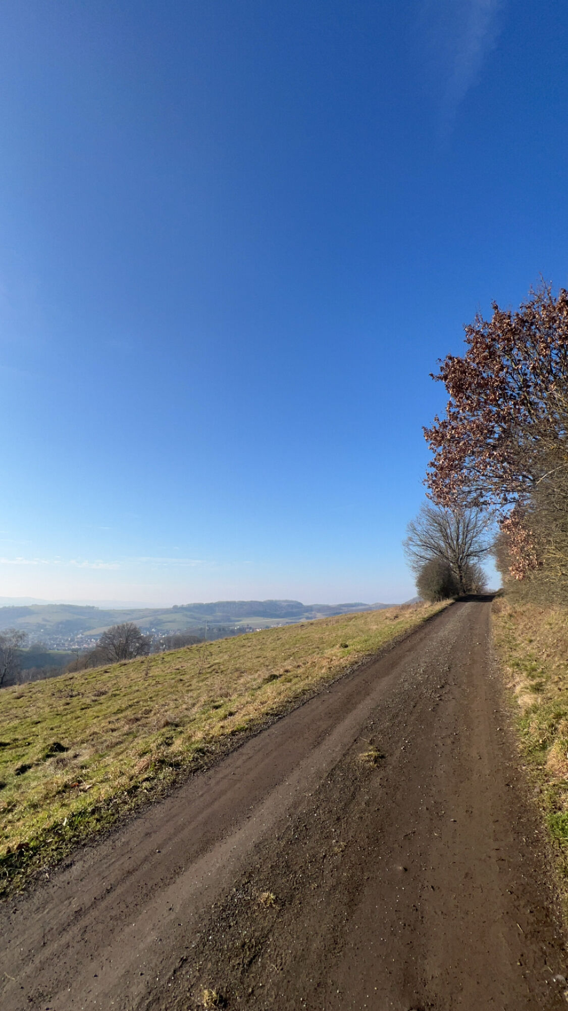
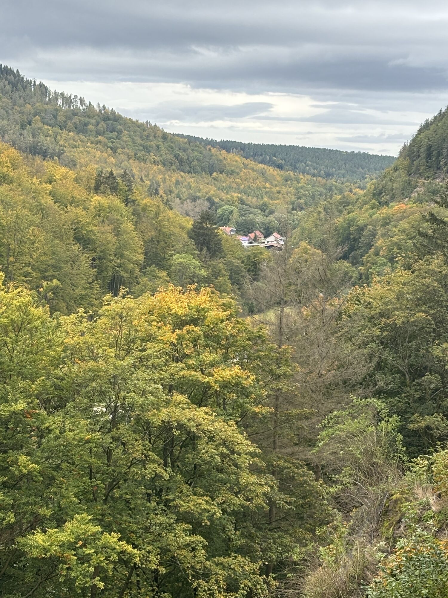
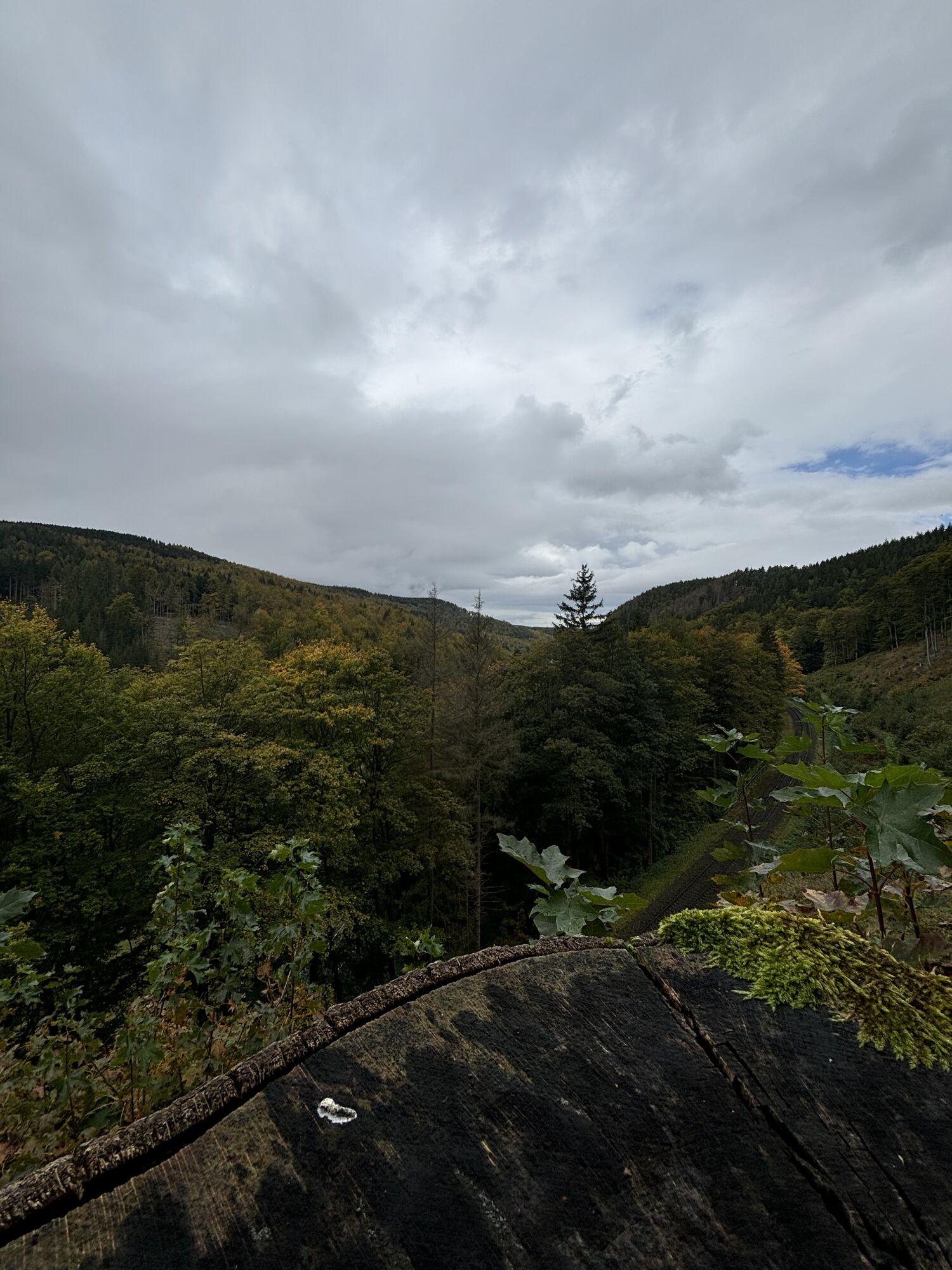
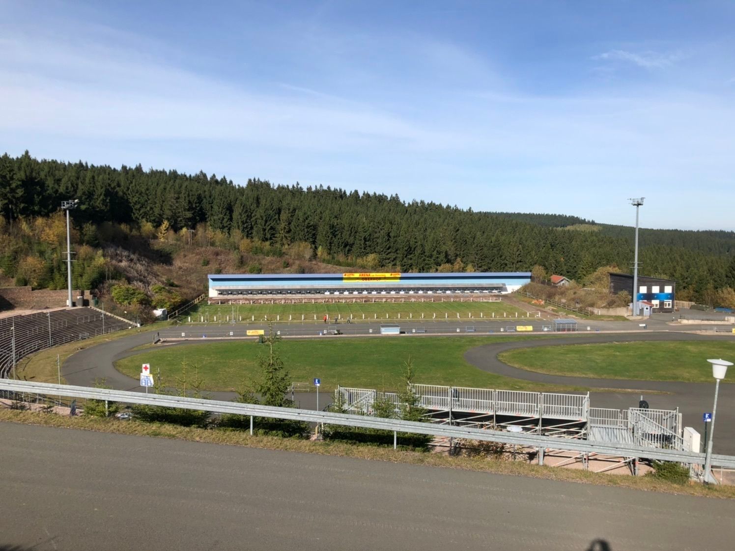
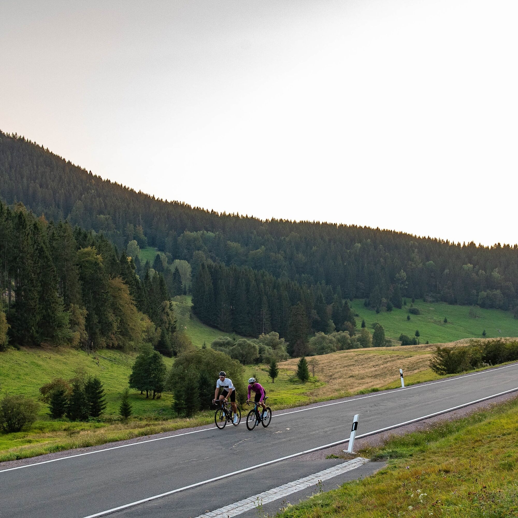
This road cycling route shows the Thuringian Forest in all its diversity: sport, culture, and nature are packed into 101 kilometers here. It starts very relaxed with the modern sports facilities in Oberhof...
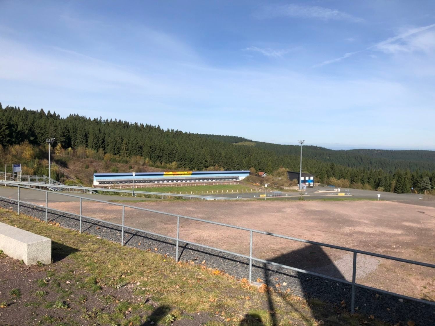
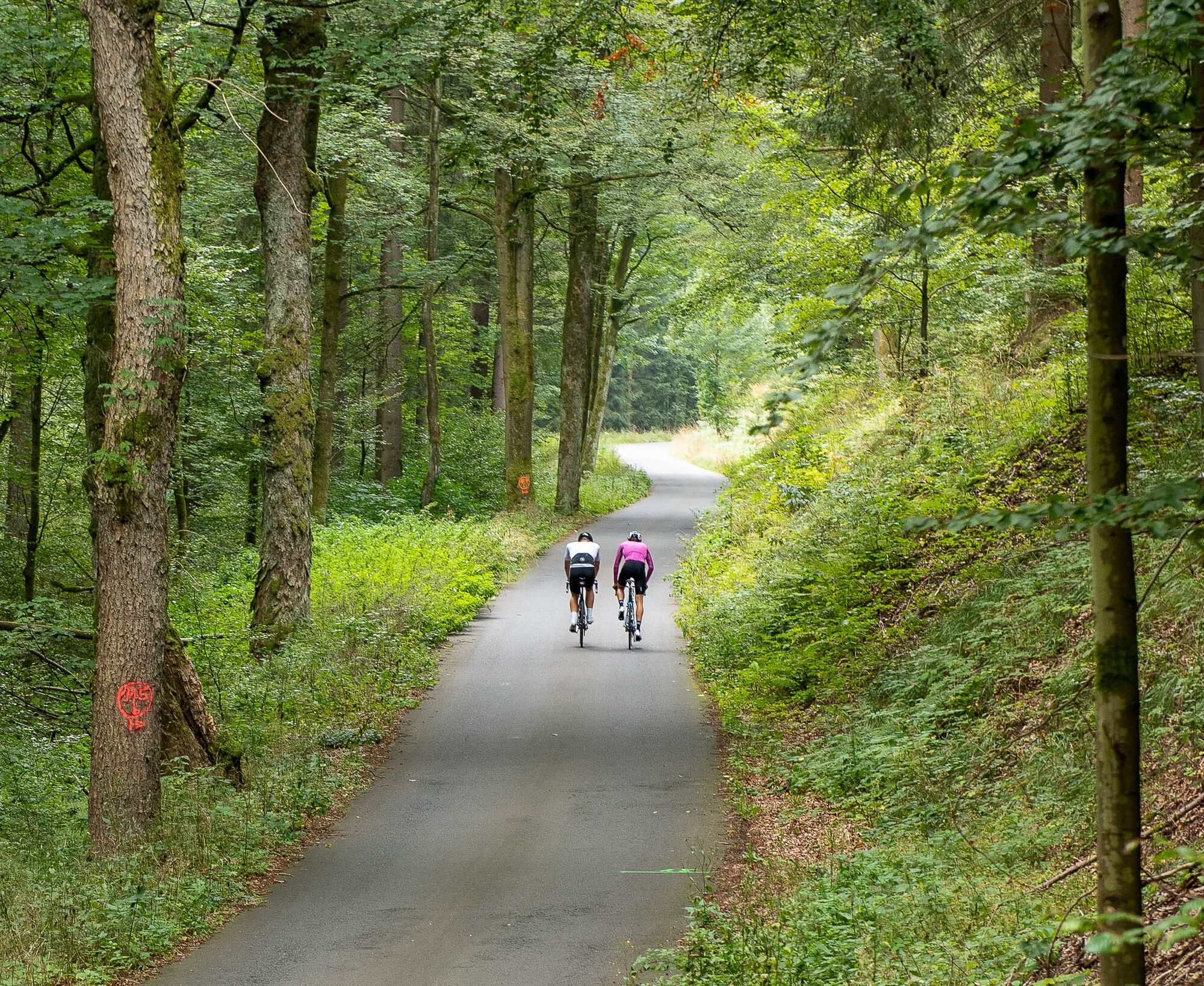
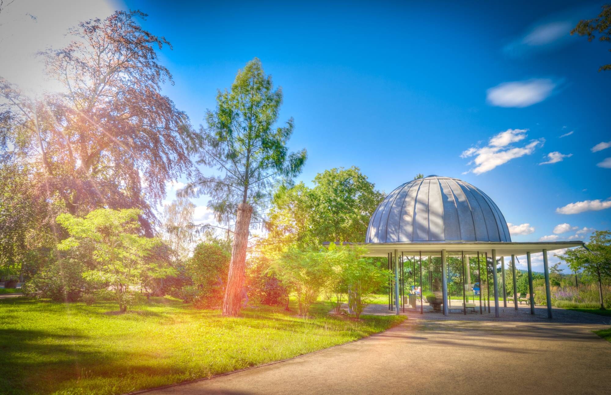
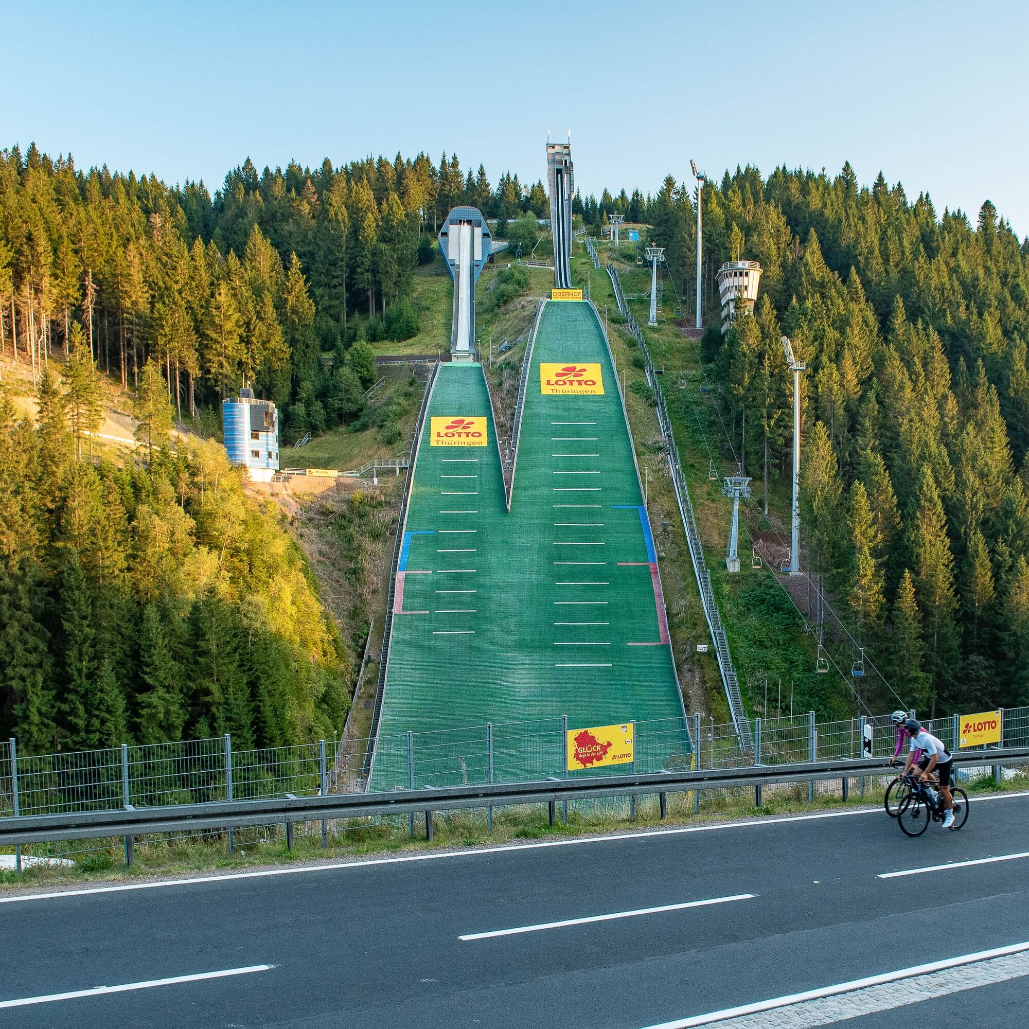
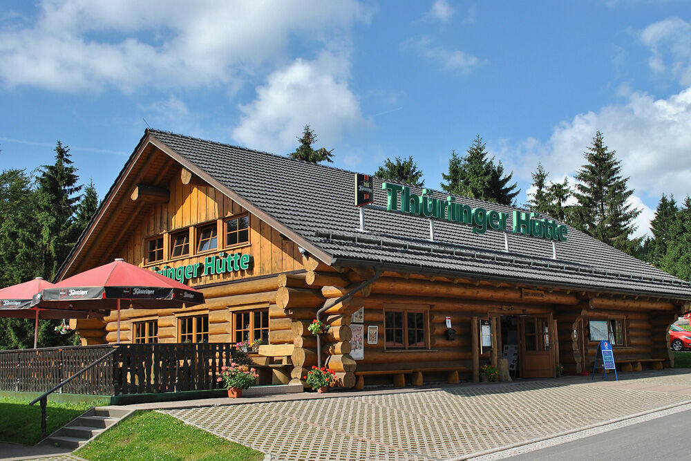
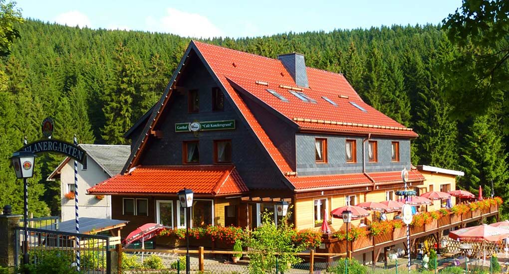
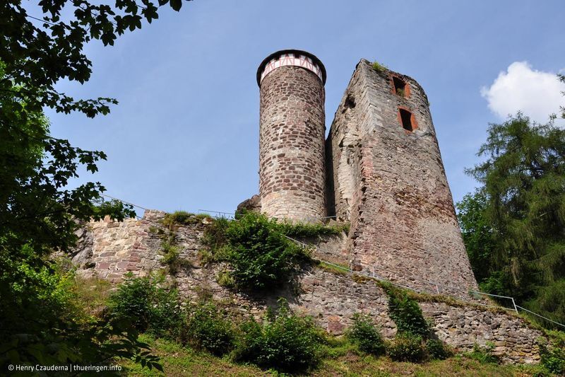
This road cycling route shows the Thuringian Forest in all its diversity: sport, culture, and nature are packed into 101 kilometers here. It starts very relaxed with the modern sports facilities in Oberhof (luge track, biathlon stadium, and ski jumps in Kanzlersgrund). The well-known hiking trail at Grenzadler is almost unnoticed as you pass the Rennsteighaus Oberhof. Through the evergreen valley of Kanzlergrund, you leave the Ruppberg unusually to the left and pedal easily to Schmalkalden. Afterwards, you steadily gain altitude between Floh-Seligenthal and Friedrichroda. After the Inselsberg region, in Gräfenroda, there is the opportunity to meet small mythical creatures. The garden gnomes live here in the "Zwergstatt Gräfenroda." With fresh thoughts, you can then approach the last, sweat-inducing kilometers, which find their crowning conclusion with the Kehltal before returning to Oberhof.



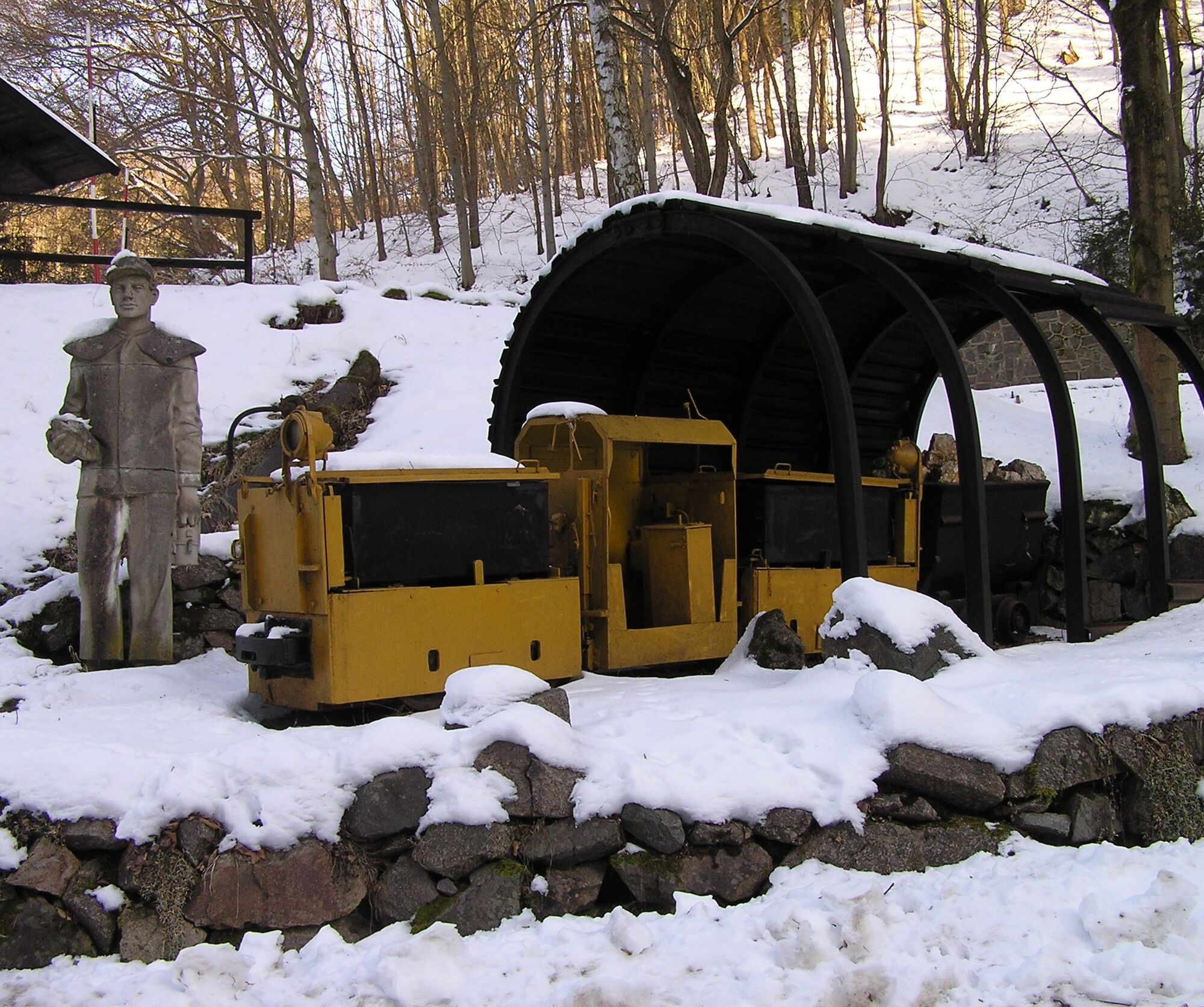

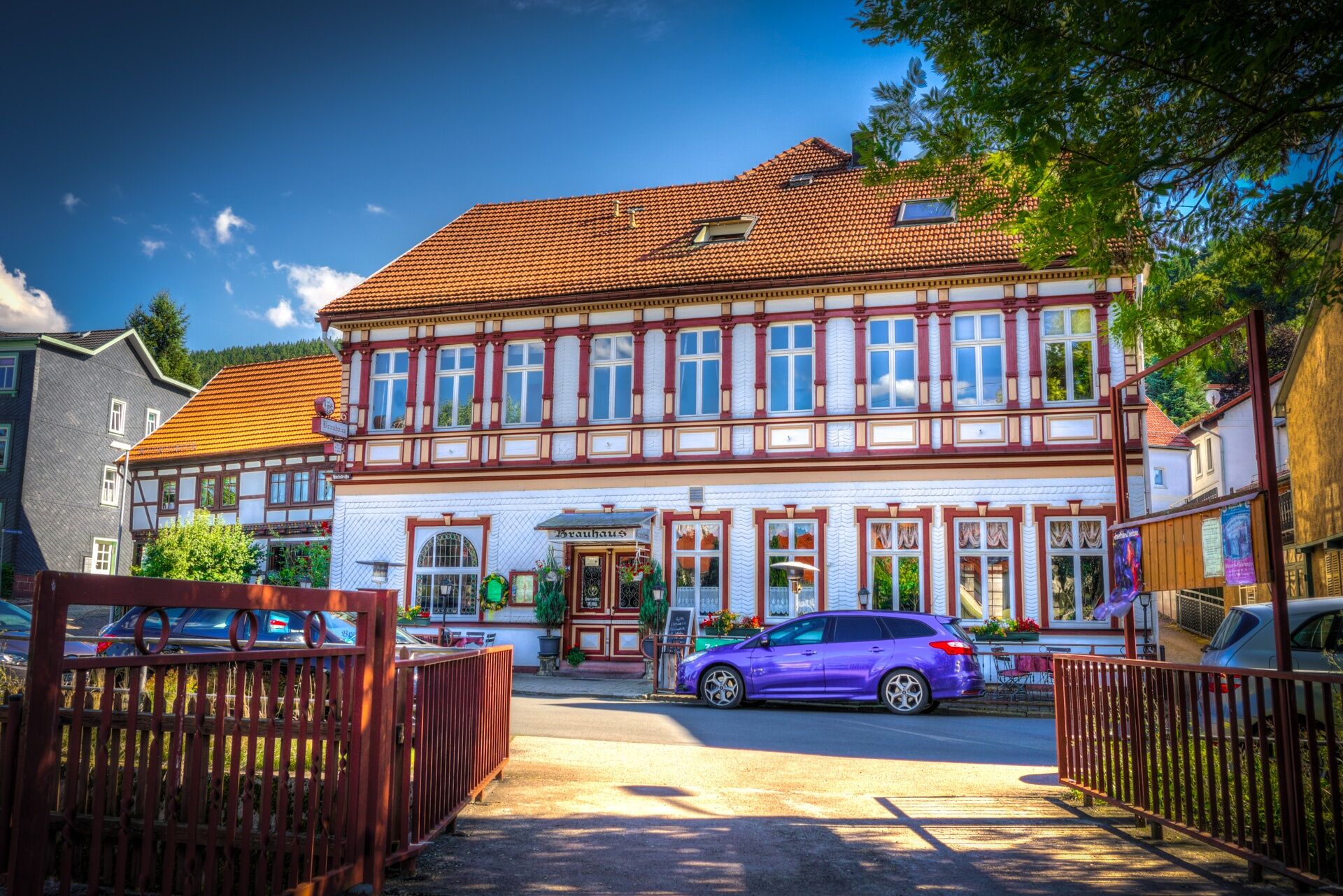
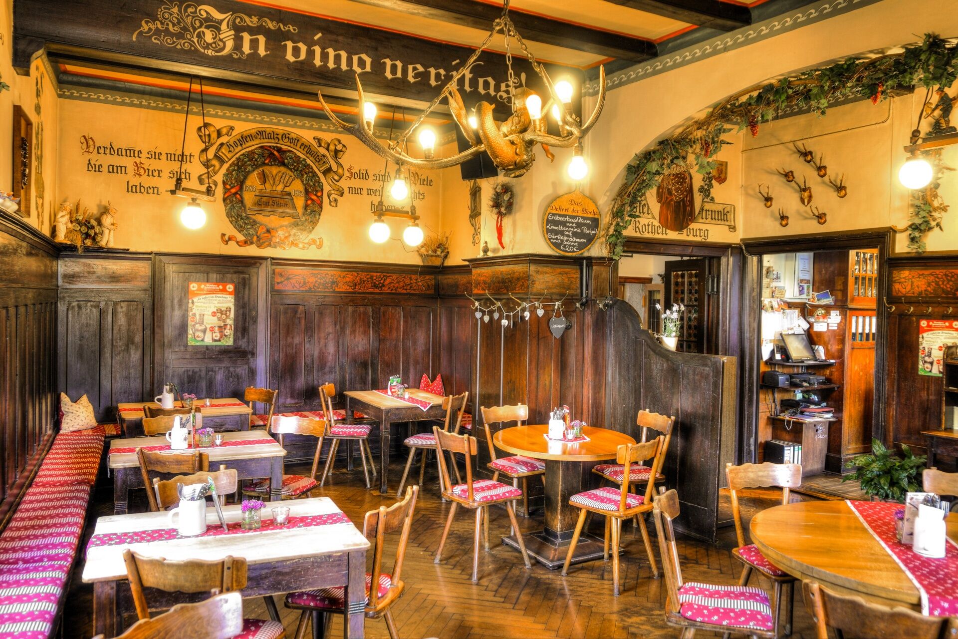
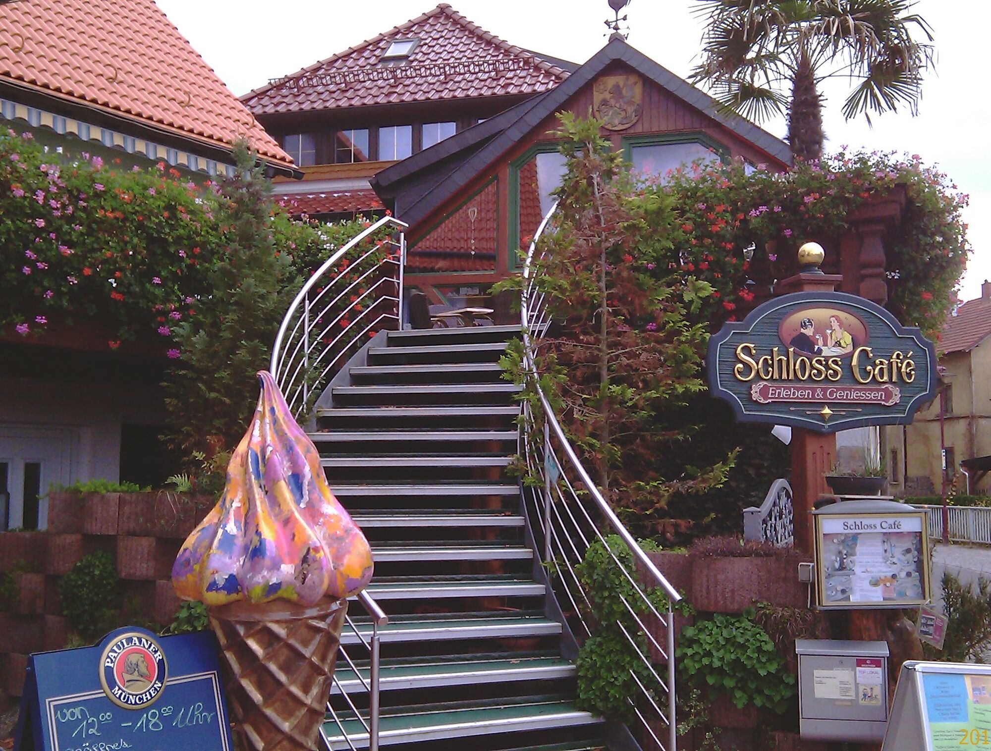

Oberhof - Oberschönau - Schmalkalden - Trusetal - Brotterode - Kleinschmalkalden - Friedrichroda - Georgenthal - Crawinkel - Oberhof
Tak
Keep in mind that a properly adjusted protective helmet can save your life in case of doubt.
Always pay attention to your bike's traffic safety. The bike path runs partially on public roads. Watch out for other road users and ride cautiously. The German Road Traffic Regulations (StVO) apply.
Especially in the hot summer months, always carry something to drink to prevent dehydration. A sunscreen with a high SPF is also recommended.
Coming from A71, take exit 18 (Oberhof) and continue on L3247 towards Oberhof. At the first opportunity, turn right to Oberhof (center) from the country road.
You can reach Oberhof from the direction of Zella-Mehlis. From there, take the bus line 422 to Grenzadler, Oberhof. For travel planning, simply use the German Rail travel information at this link:
→ Arrival in Oberhof, Grenzadler
(please enter your starting point and desired travel period in the following form)
There is a parking lot at the start and end points, these are chargeable:
Grenzadler (Google NAV point) Rondel (Google NAV point)You are also welcome to use the free hiking parking lots in Oberhof, which you can find via the signposted parking guidance system in Oberhof.
4
Sport, culture, and nature: From the sports facilities in Oberhof to the half-timbered workshop in Schmalkalden with the Kehltal as a crowning finale.
Kamery internetowe z trasy
-
Bergstation Großer Inselsberg
-
Fallbachhang Bergstation
-
Haus des Gastes in Oberhof
-
Tabarz
-
Berggasthof "Spießberghaus"
-
Rennsteiggarten Oberhof
-
Elgersburg - Hohe Warte
-
Berggasthof "Spießberghaus"
-
Crawinkel
-
Pension Schmiechen Oberhof
-
Fallbachhang Talstation
-
Kleiner Inselsberg / Sommerrodelbahn
-
Brotterode - Berggasthof Stöhr
-
Steinbach-Hallenberg / Am Knüllfeld
-
Friedrichroda - Berghotel
-
Bad Tabarz - Aussichtsturm Inselsberg
-
Oberhof - Schneekopfturm
-
Sportgymnasium Oberhof
-
Golfkletterpark Oberhof
-
Schmalkalden
-
Schmalkalden
-
Schmalkalden
-
Schmalkalden
-
Zella-Mehlis - Rathaus
-
Ferien Hotel Rennsteigblick
Uzyskaj wgląd
Zawsze na żywo z ponad 9 500 kamer internetowych. bergfex Jako użytkownik Pro, możesz teraz zobaczyć odpowiednie kamery internetowe dla wielu wycieczek w aplikacji wycieczki od. Pozwala to na bezpośredni podgląd aktualnych warunków.
Popularne wycieczki w okolicy
-
4,5
Summit and panoramic route - Route 1 - Bad Tabarz
średniWędrówka 10,9 km -
4,4
Circular hike "Old Tambach Dam", Tambach-D., Thuringian Forest
średniWędrówka 8,33 km -
3,8
Wanderung zum Spitterfall
średniWędrówka 14,6 km -
4,8
Circular hike - Schmalwasser reservoir - Tambach-Dietharz - Thuringian Forest
średniWędrówka 13,8 km -
Tabarzer Vulkansteig
średniWędrówka 9,91 km -
4,0
Circular hiking route "Oberschönauer Felsenwanderung" - Steinbach-Hallenberg - Thuringian Forest
ciężkiWędrówka 12,0 km -
4,4
Circular hiking trail - "Trusetal Landmark Route" - Thuringian Forest
światłoWędrówka 4,02 km -
4,8
Inselsberg tour - Tour 2 - Bad Tabarz
ciężkiWędrówka 15,1 km -
3,2
Von Friedrichroda zum großen Inselsberg
średniWędrówka 22,4 km -
3,5
Backofenloch circular route - route 6 - Bad Tabarz
średniWędrówka 6,94 km
Wędrówki i tropienie


Nie przegap ofert i inspiracji na następne wakacje
Twój adres e-mail została dodana do listy mailingowej.





