






Mountain bike route - Rennsteig MTB bike path - Thuringian Forest
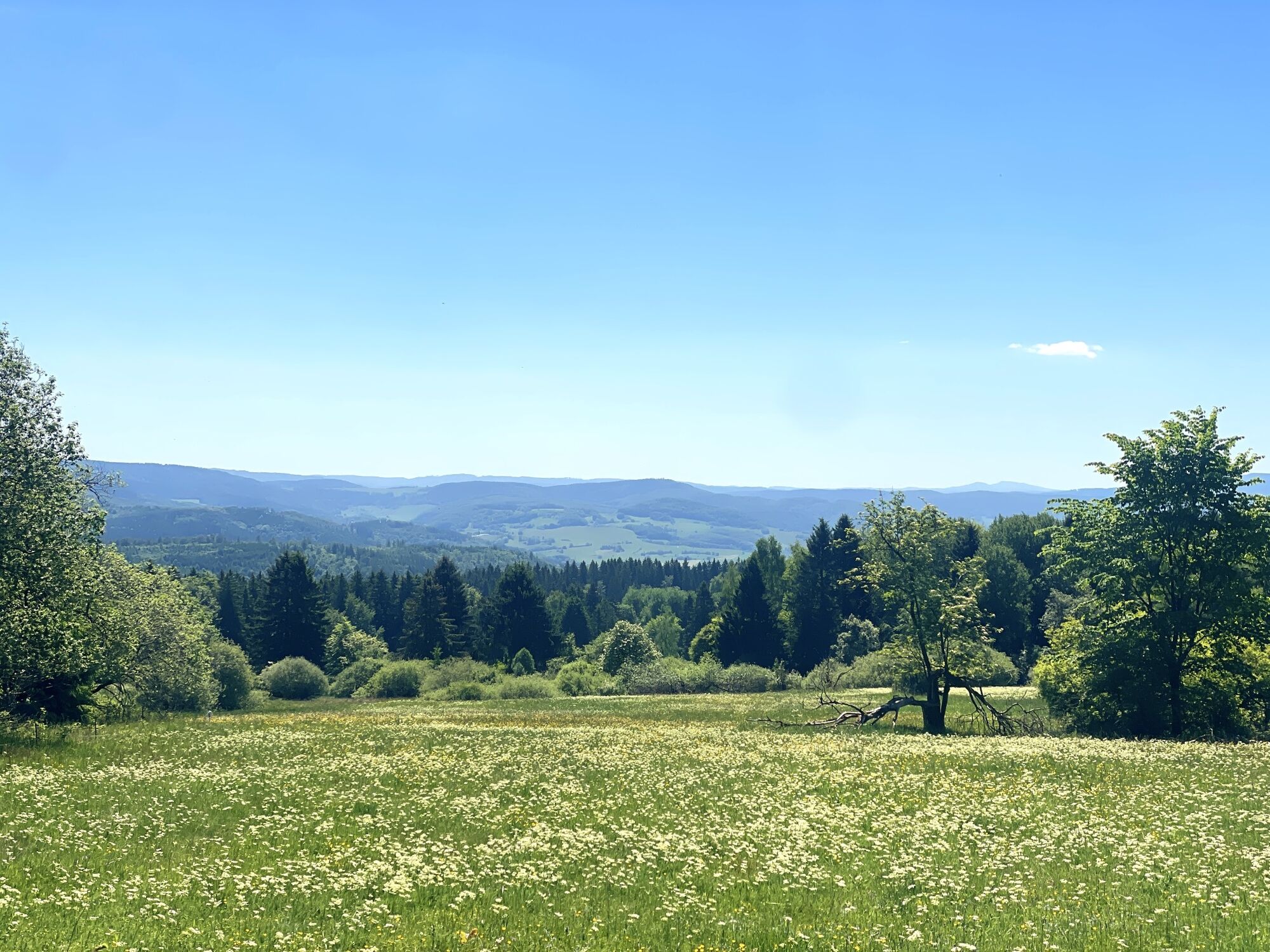
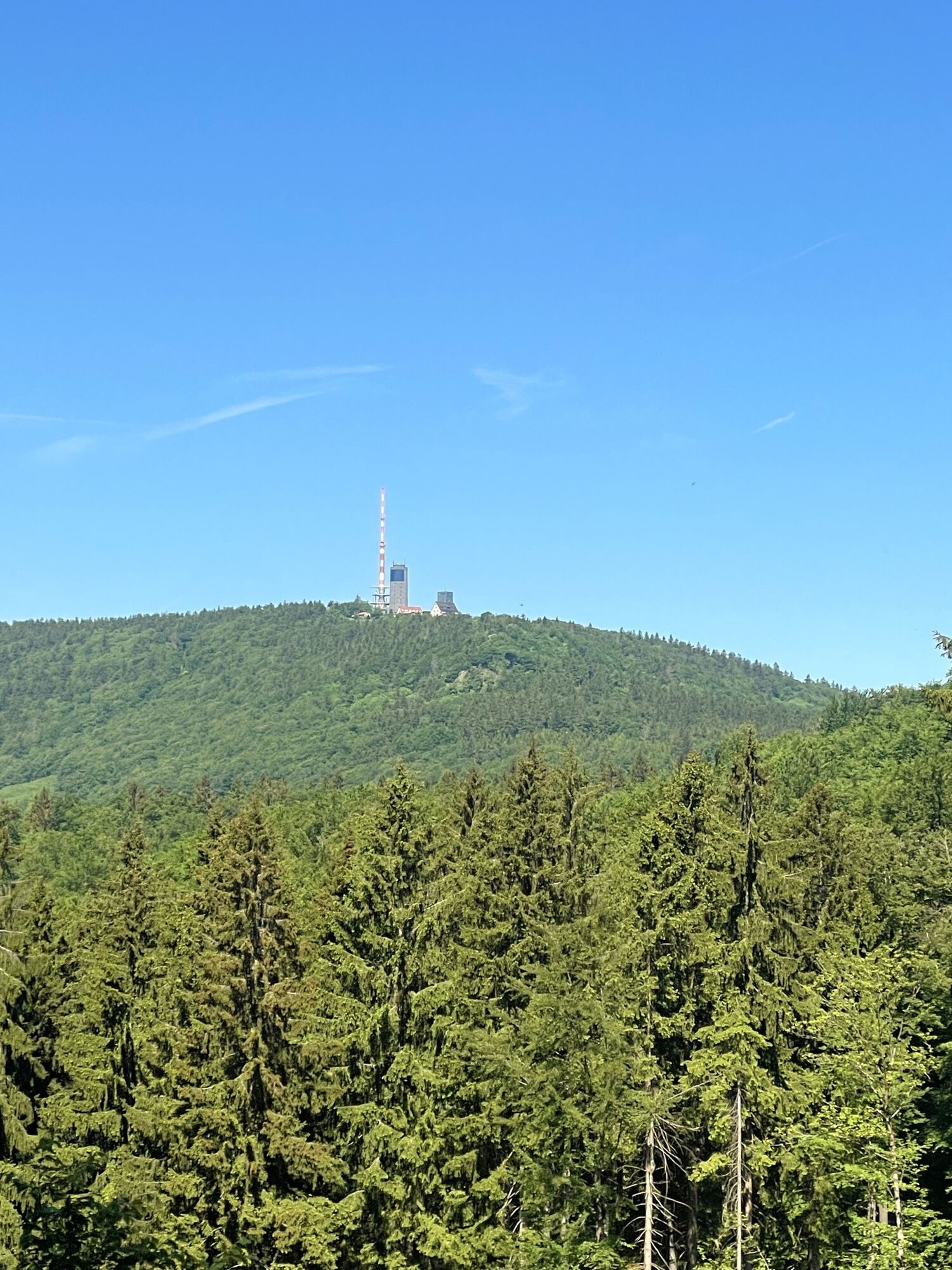
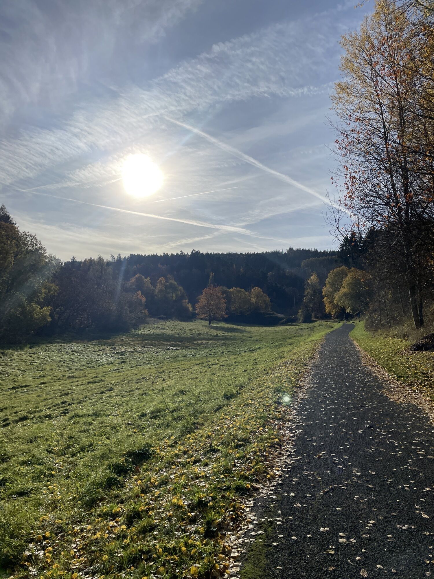
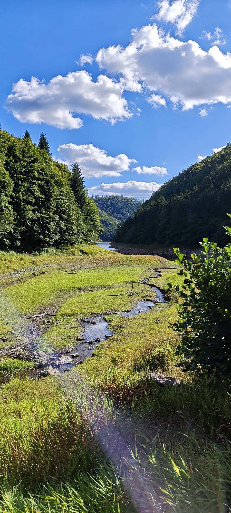
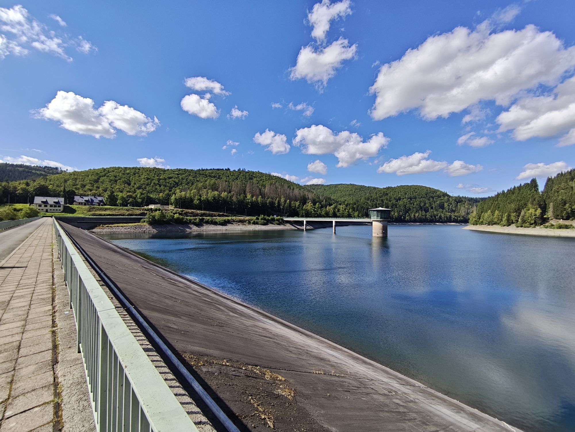
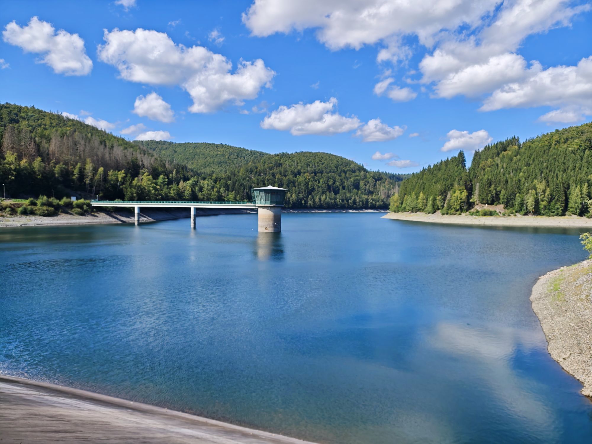
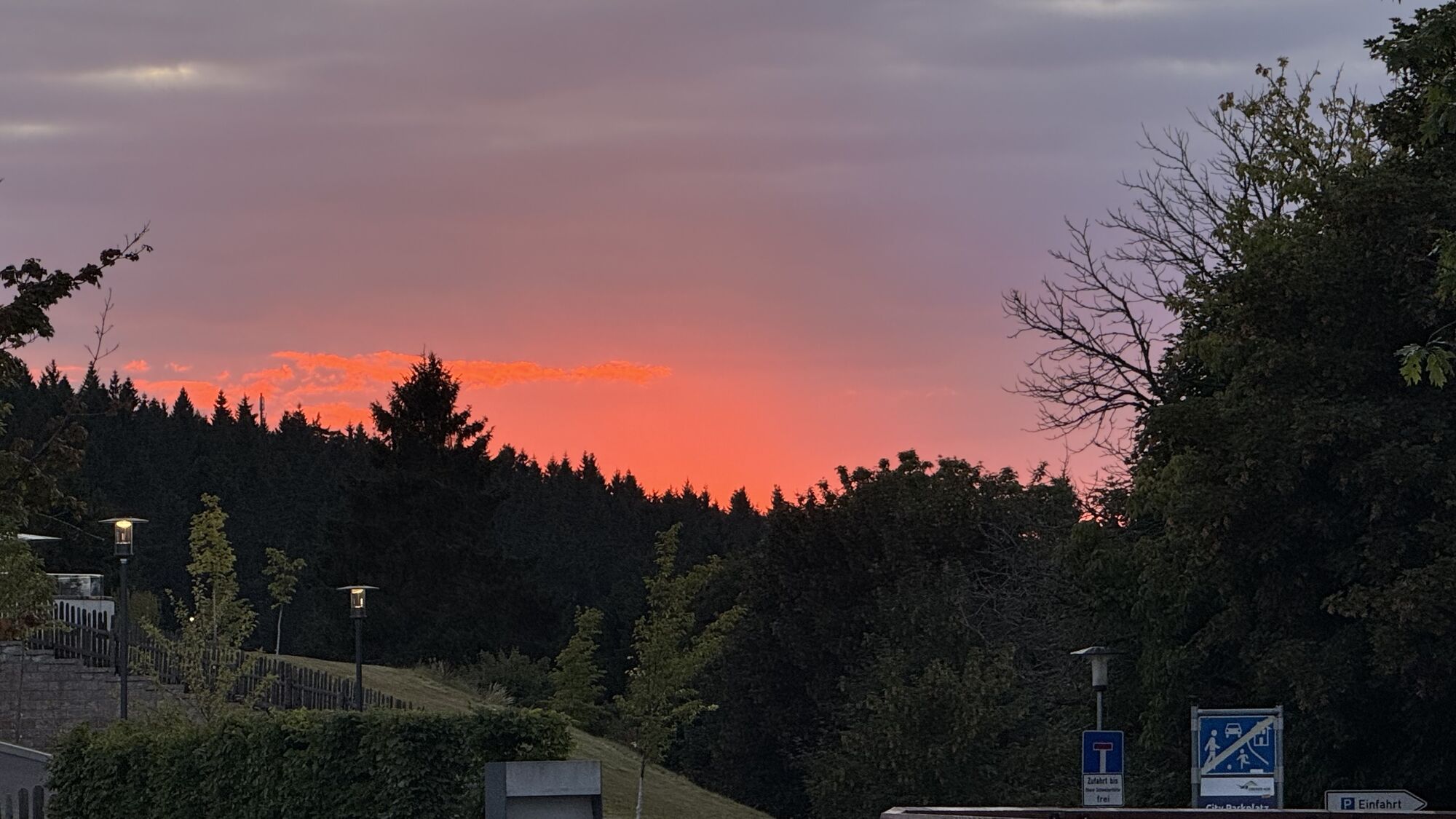
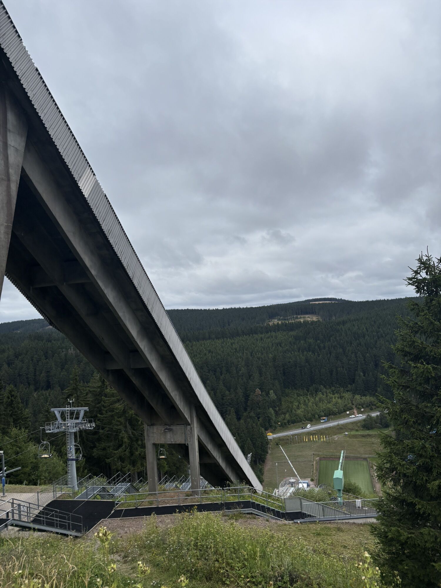
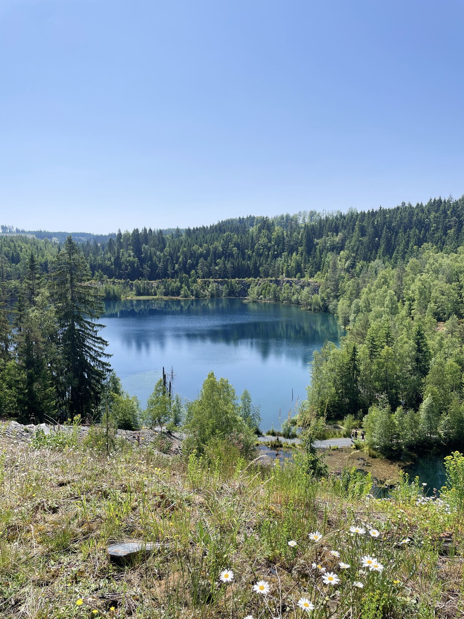
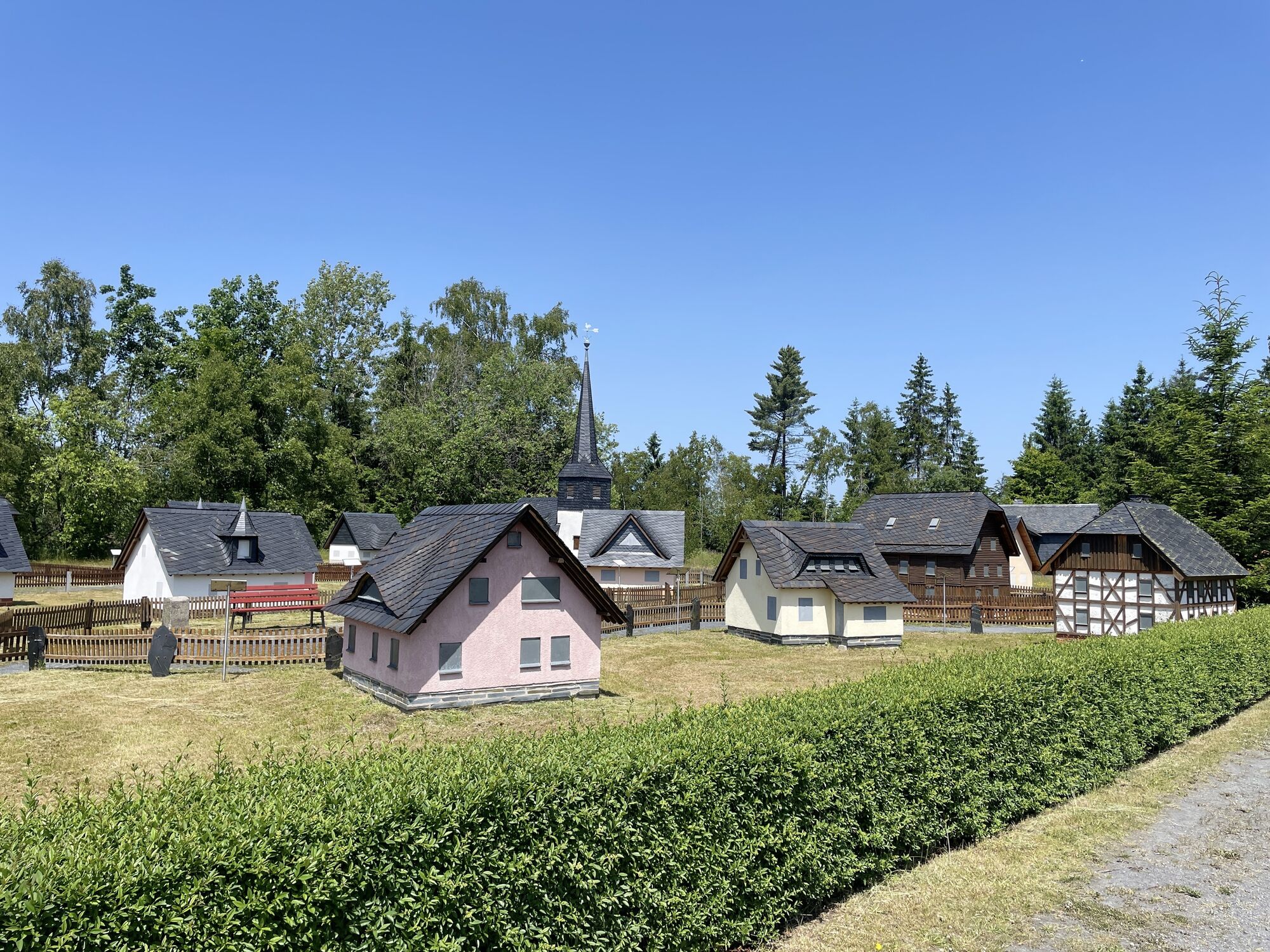
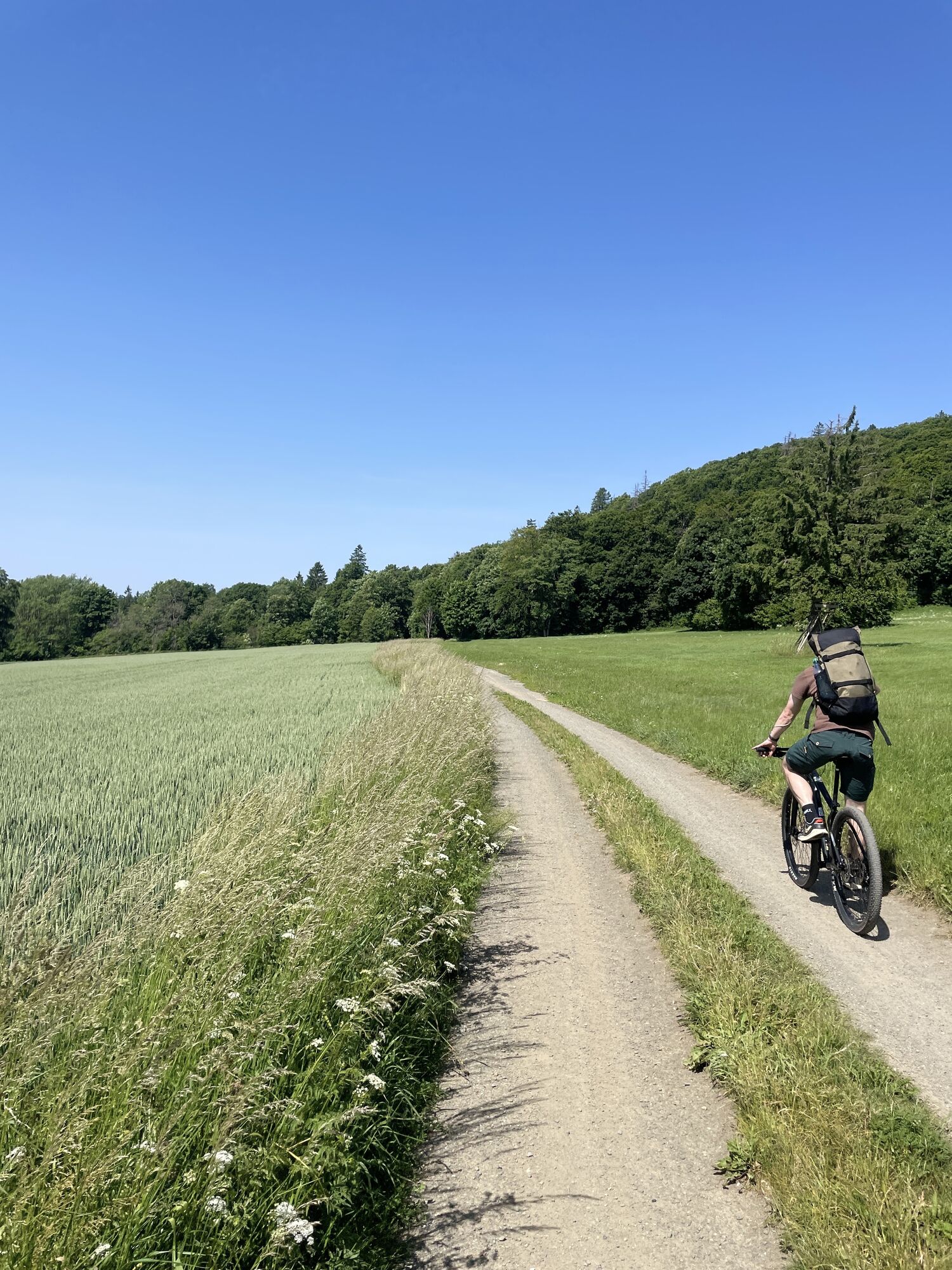
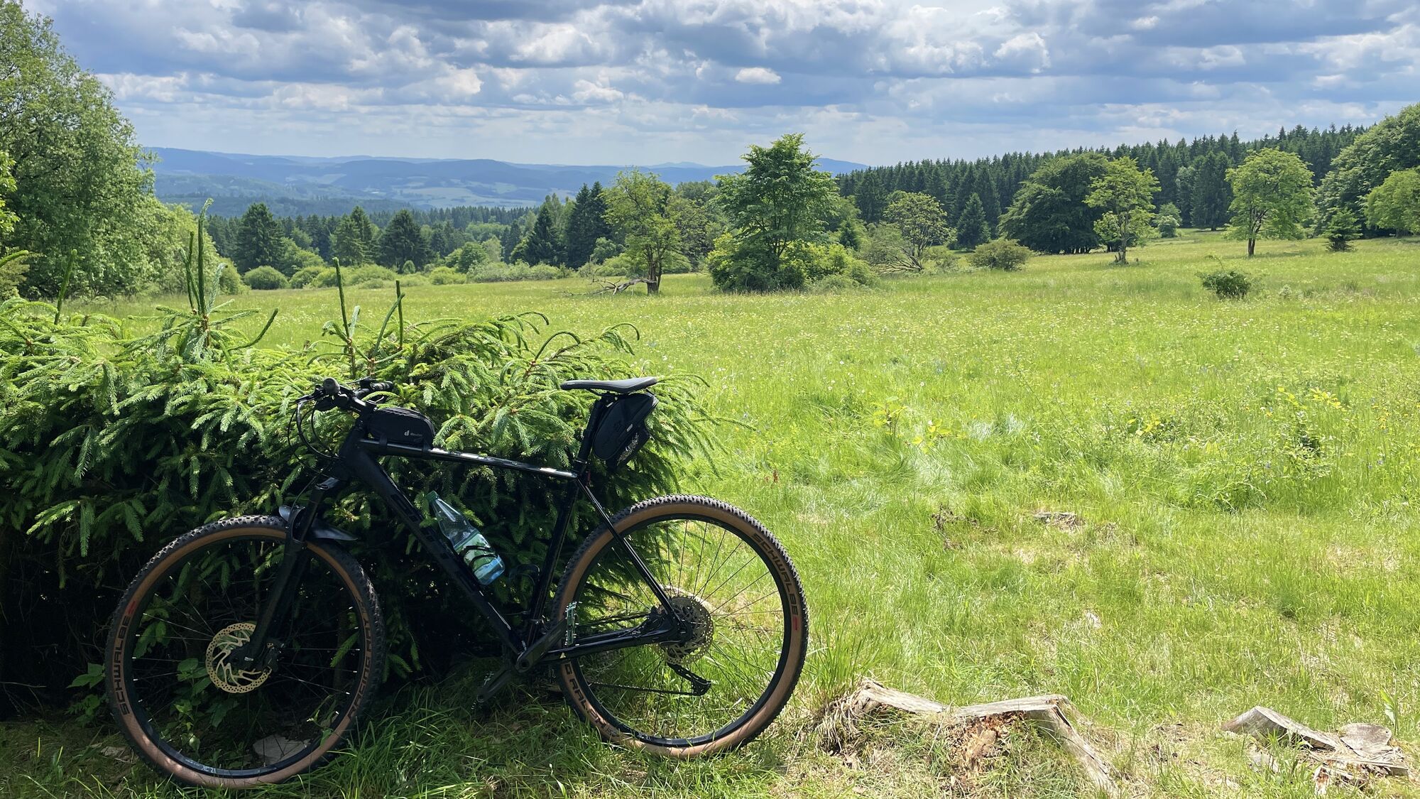
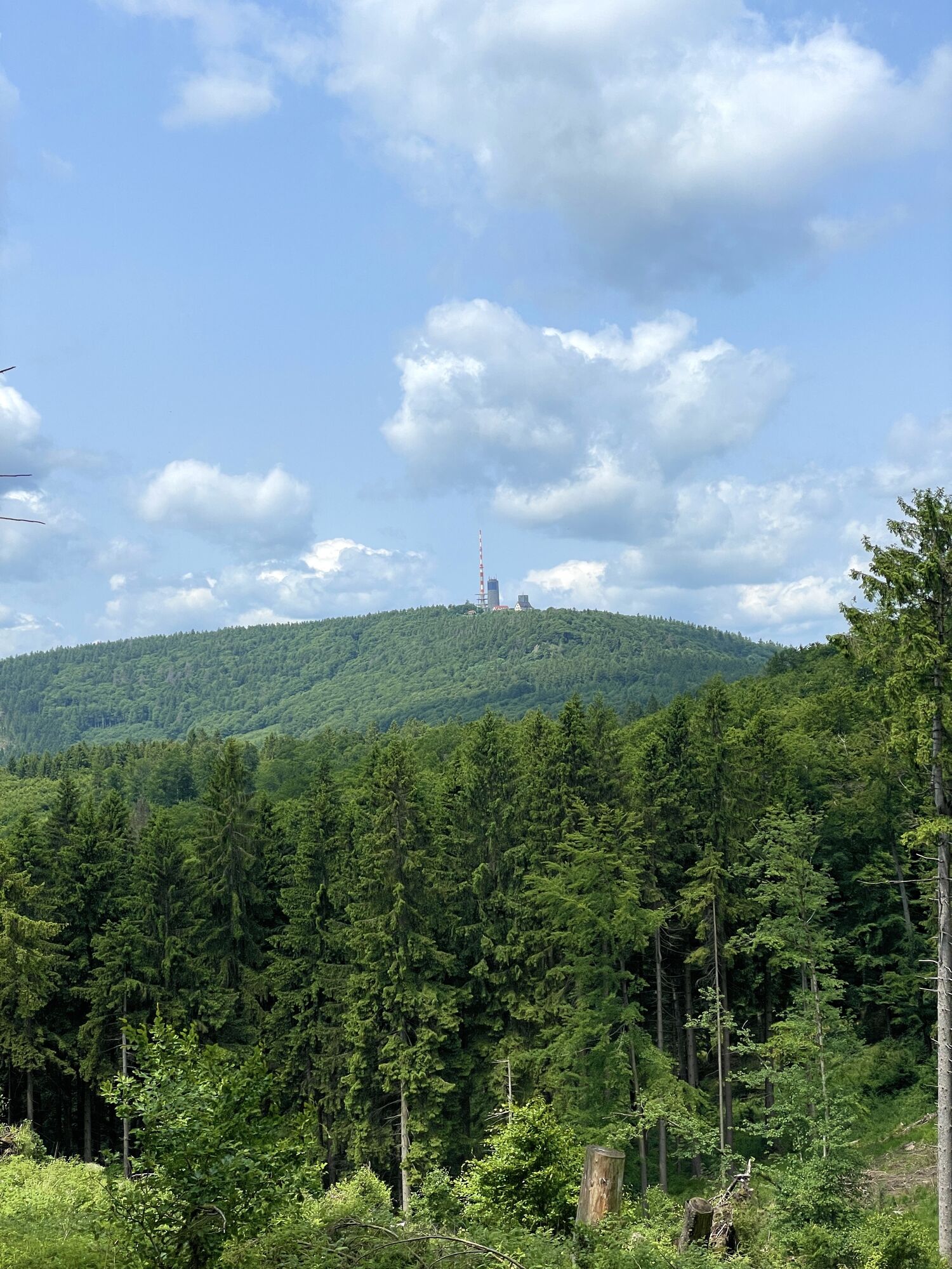

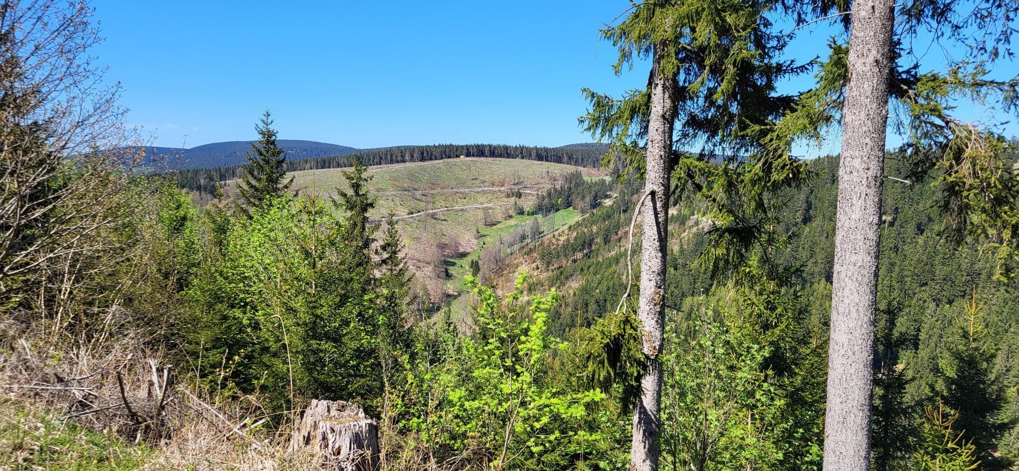
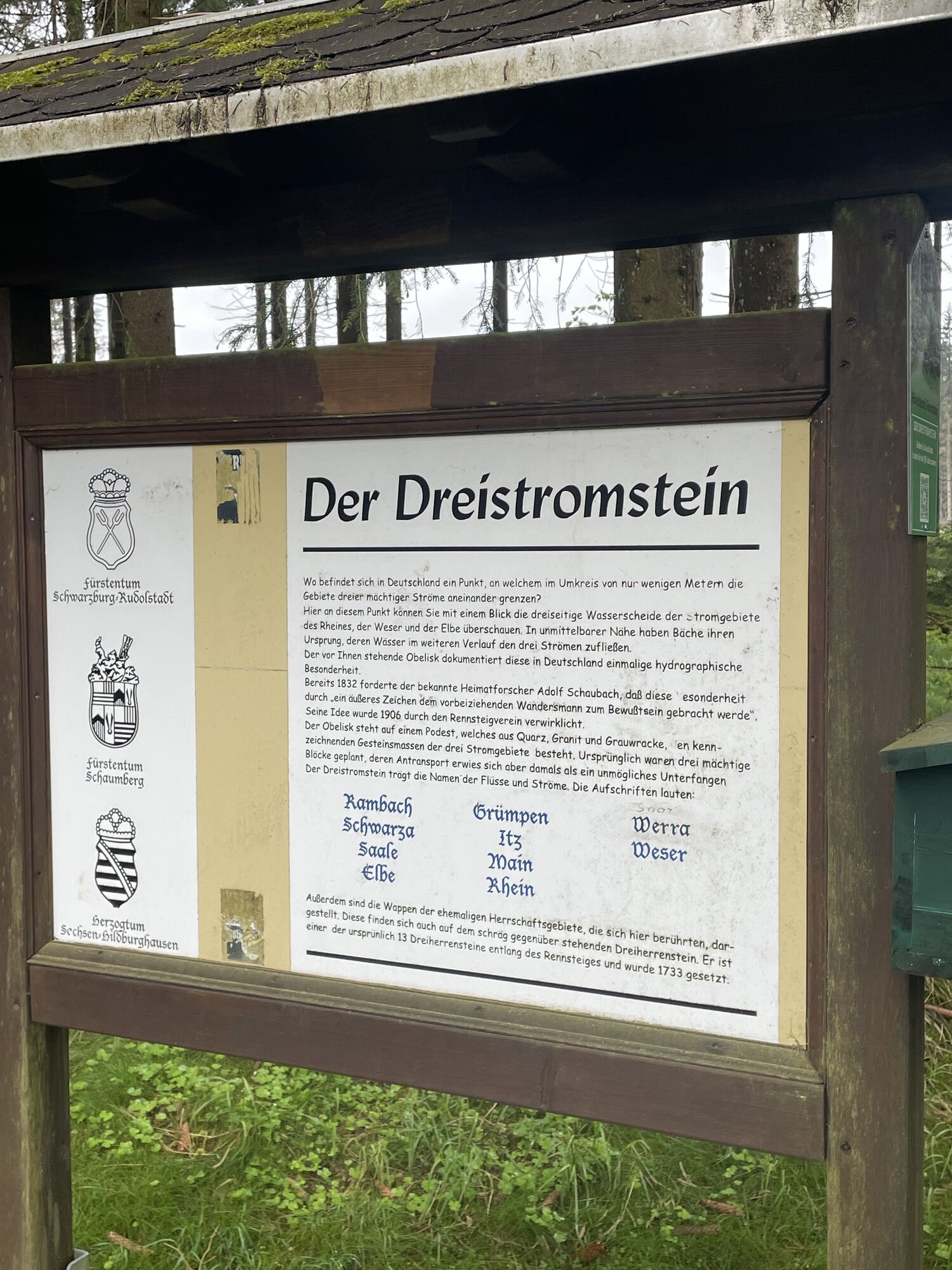
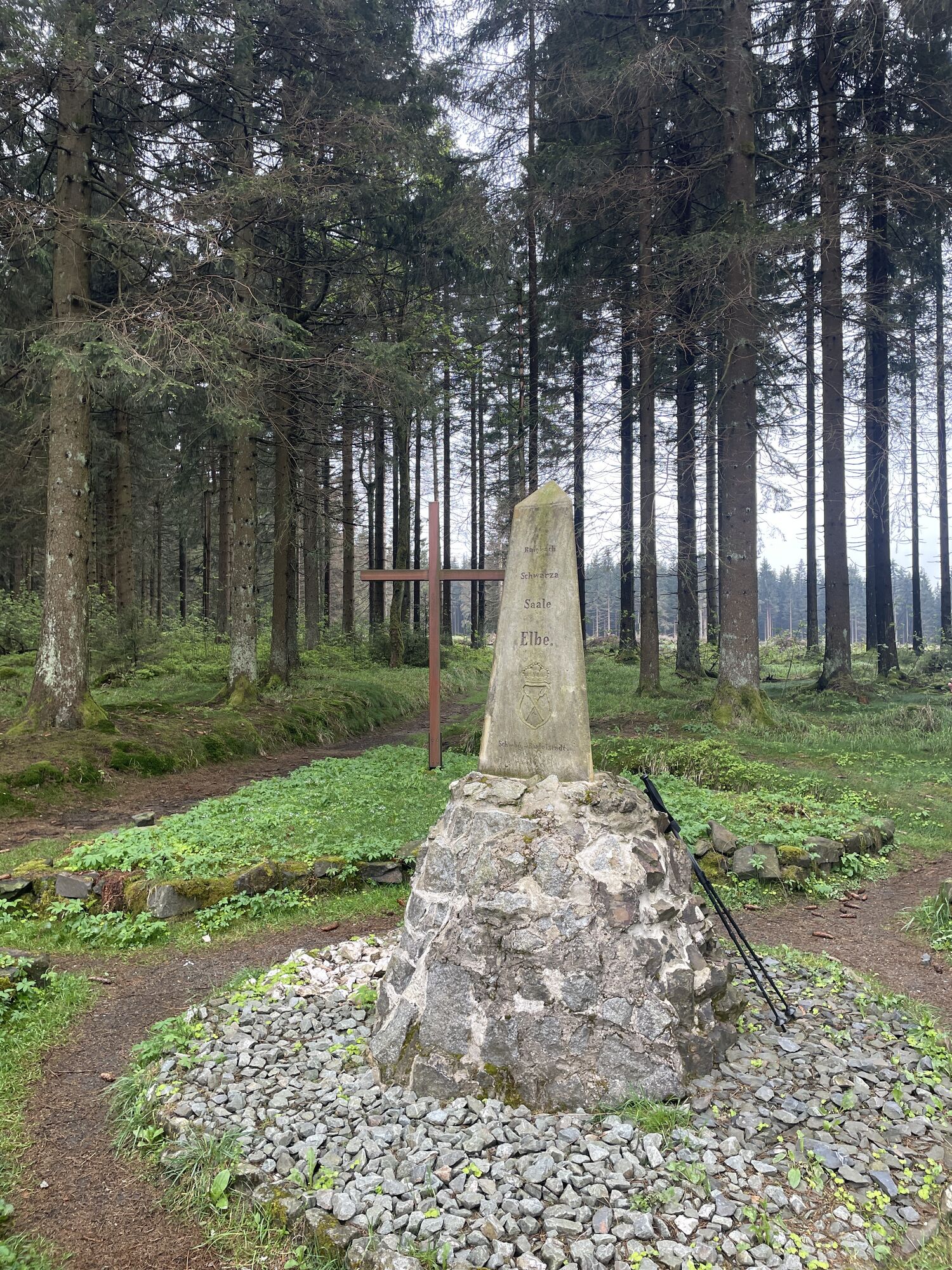
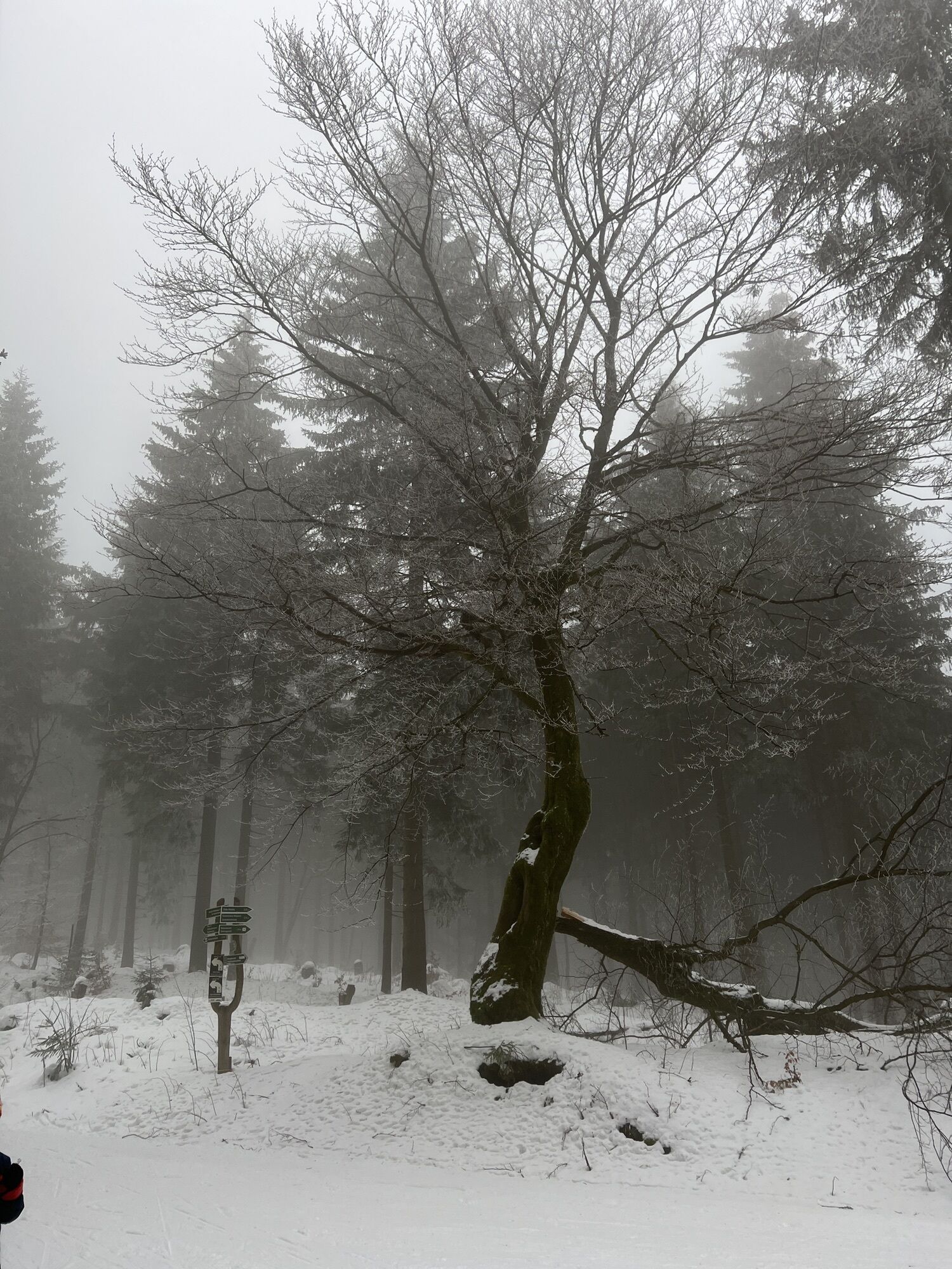
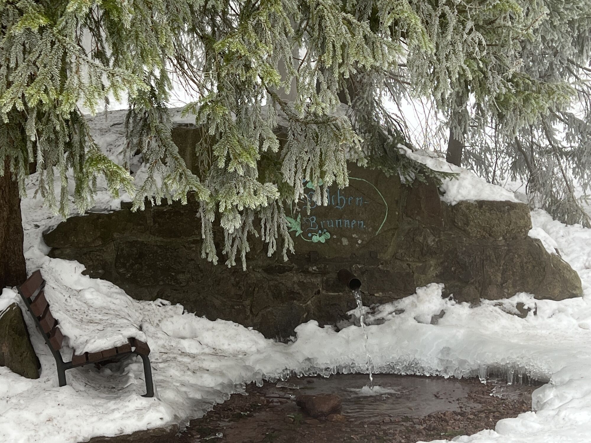
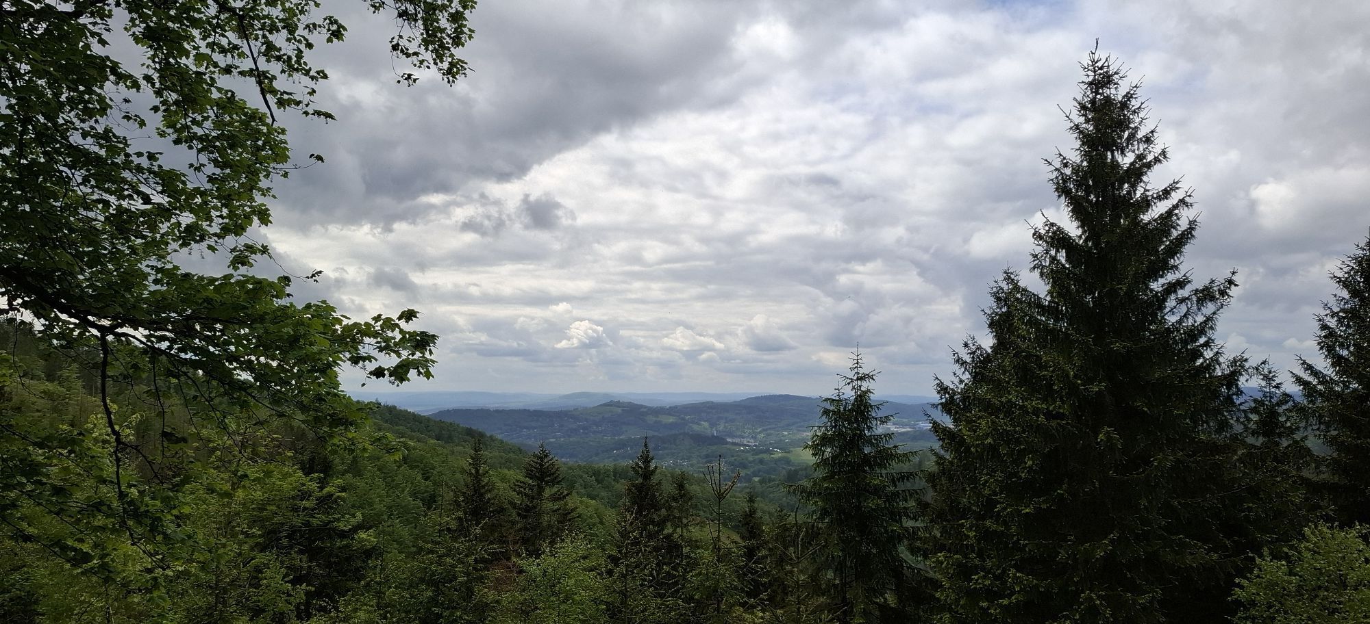
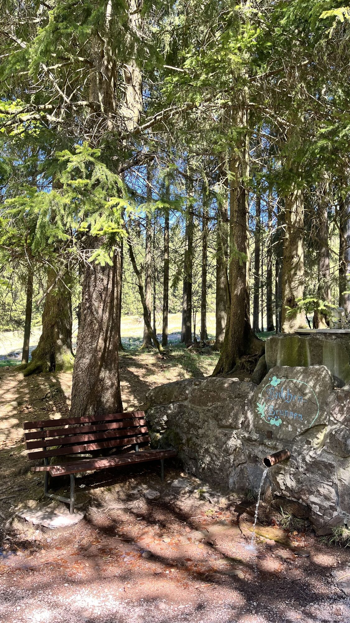
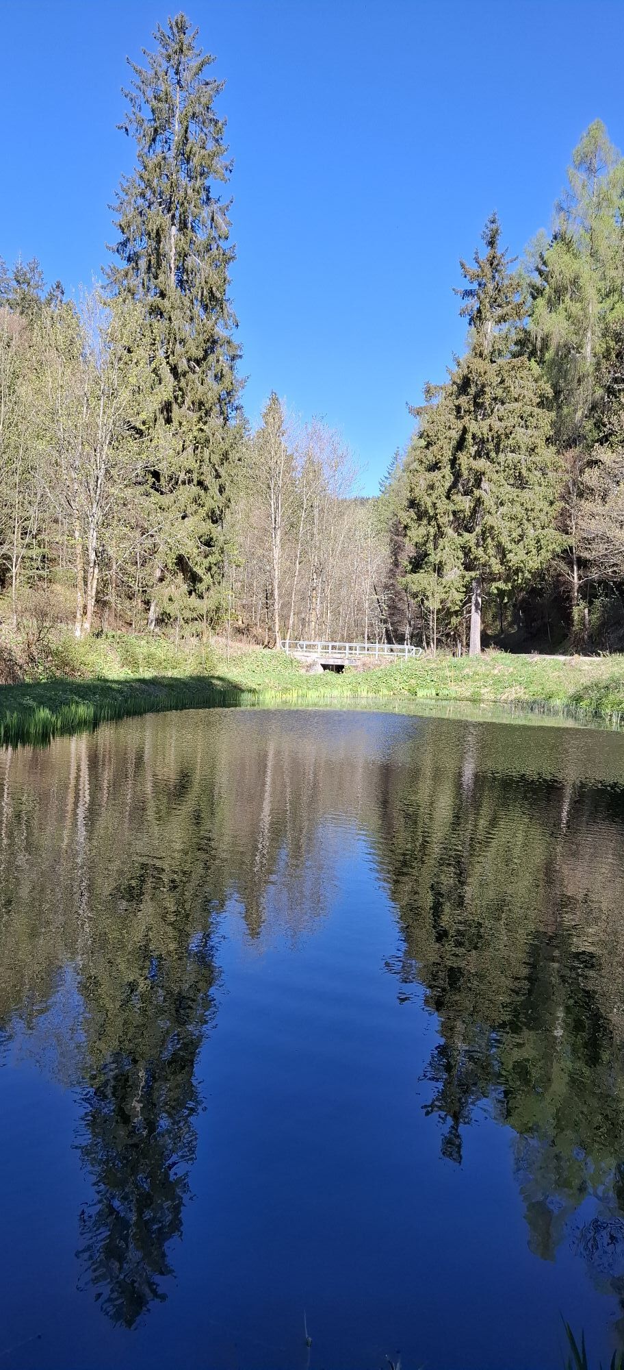
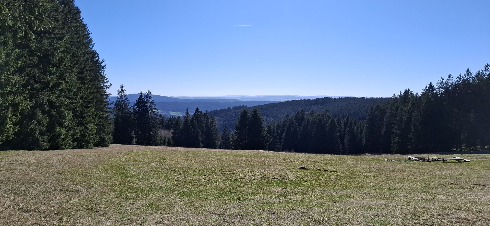
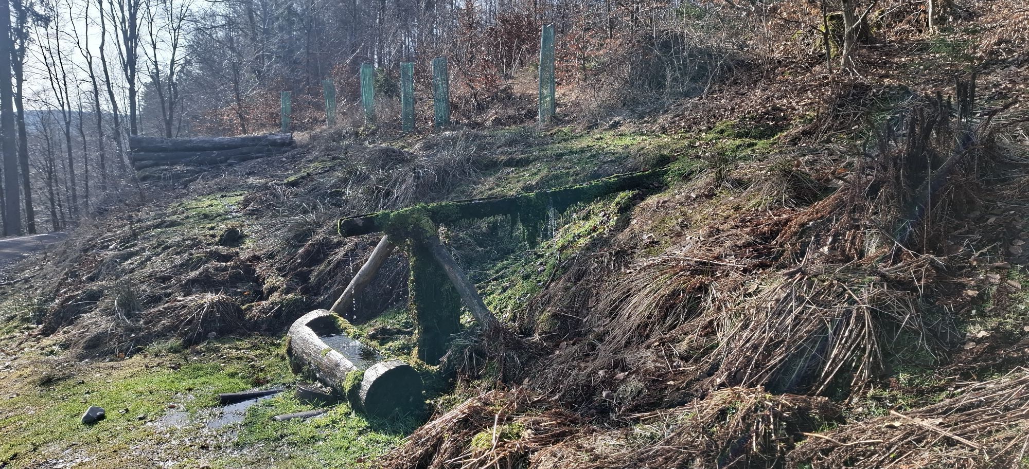
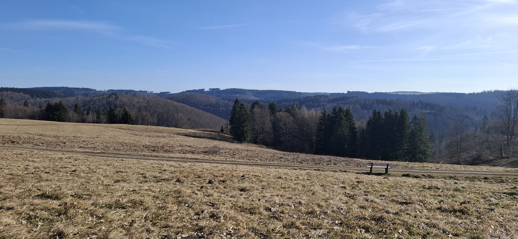
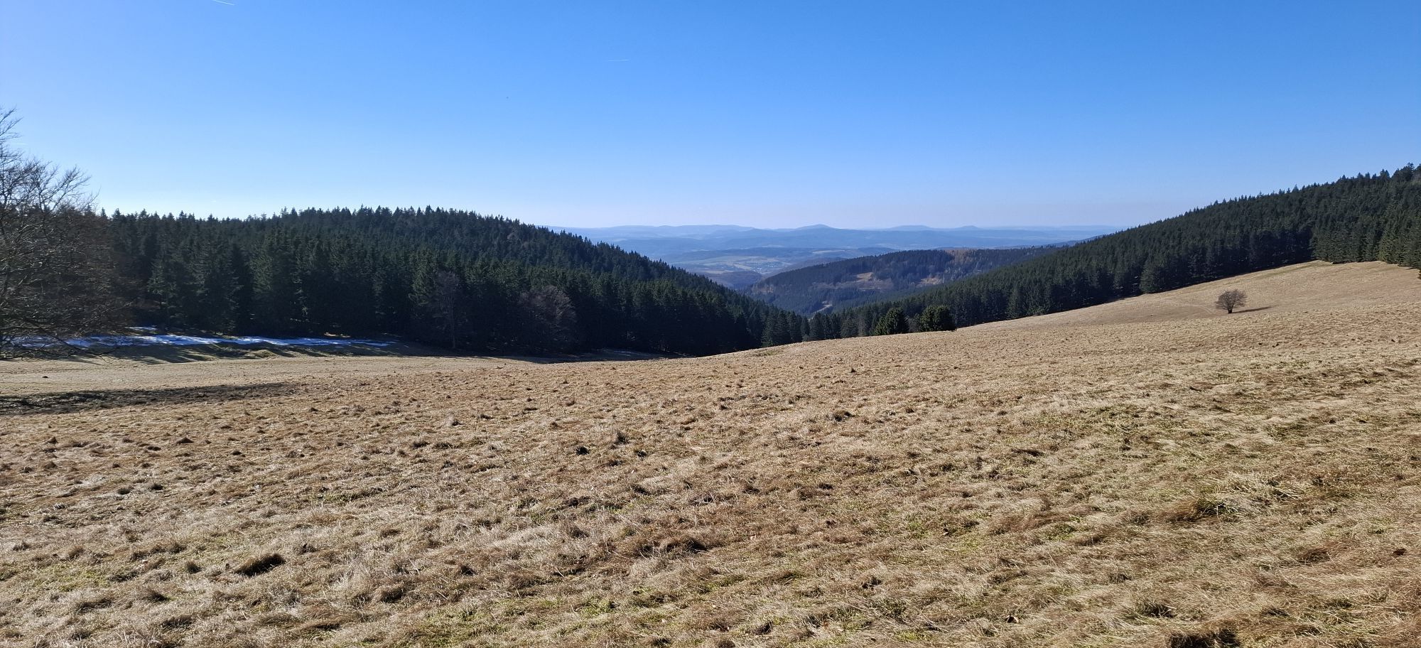
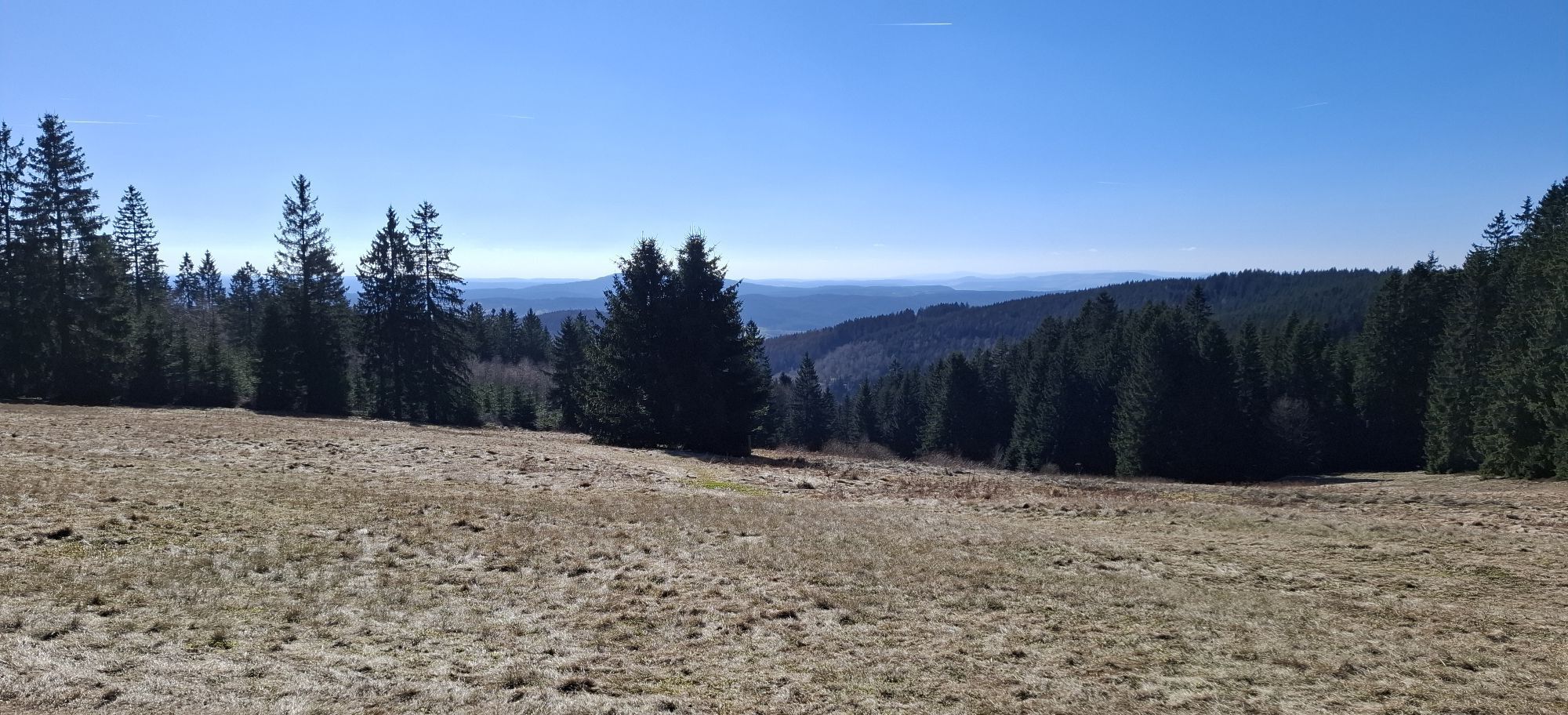
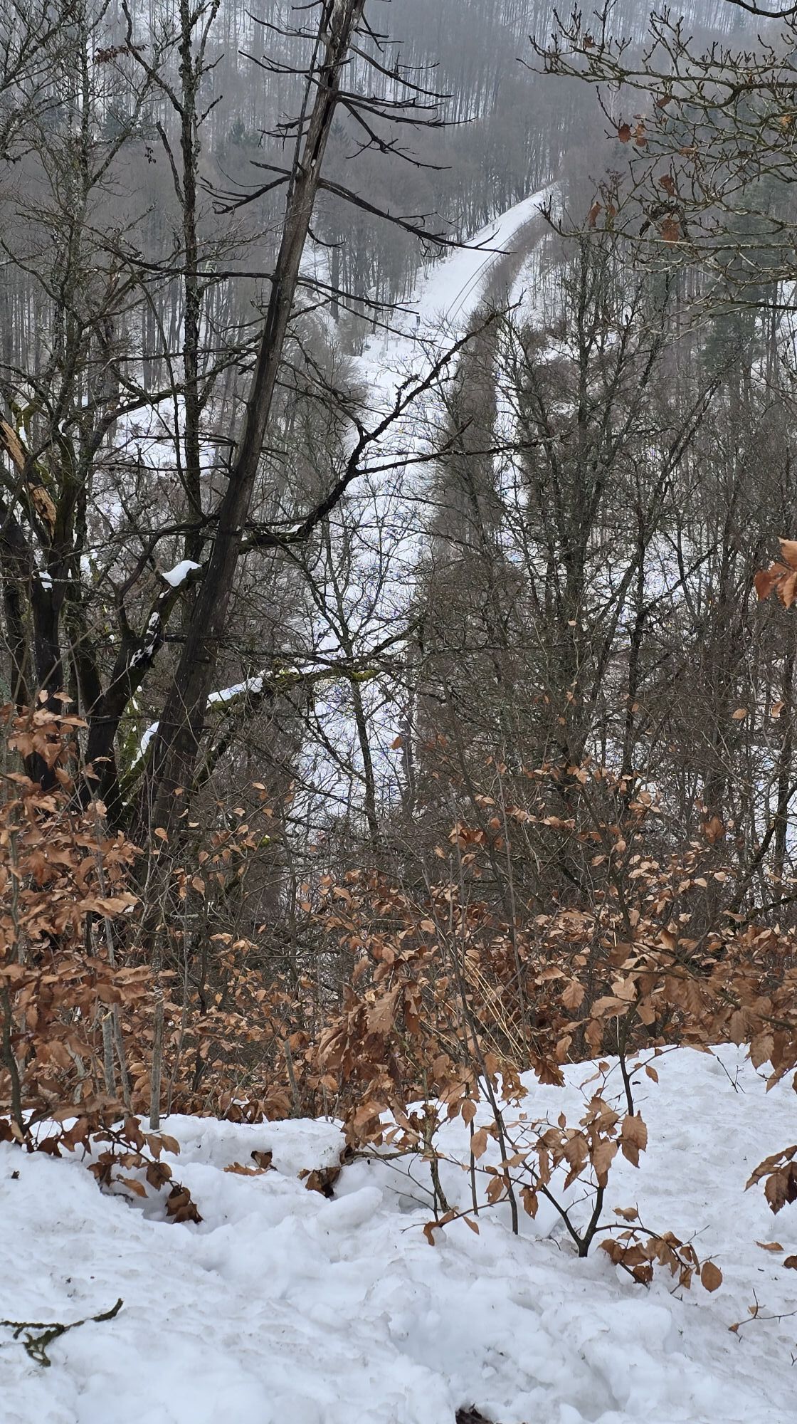
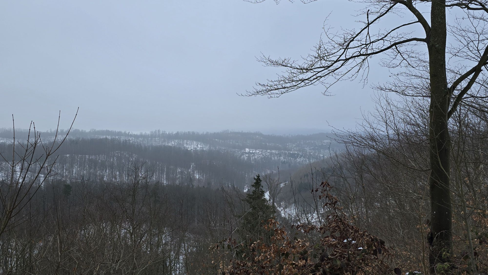
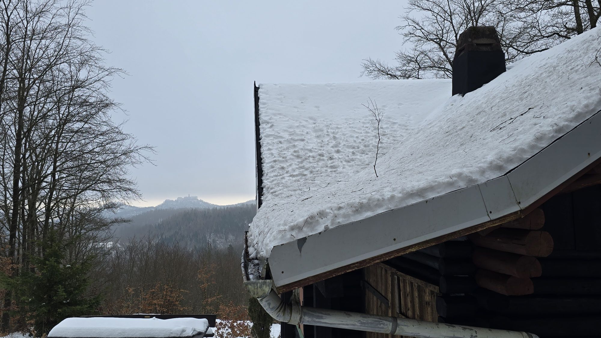
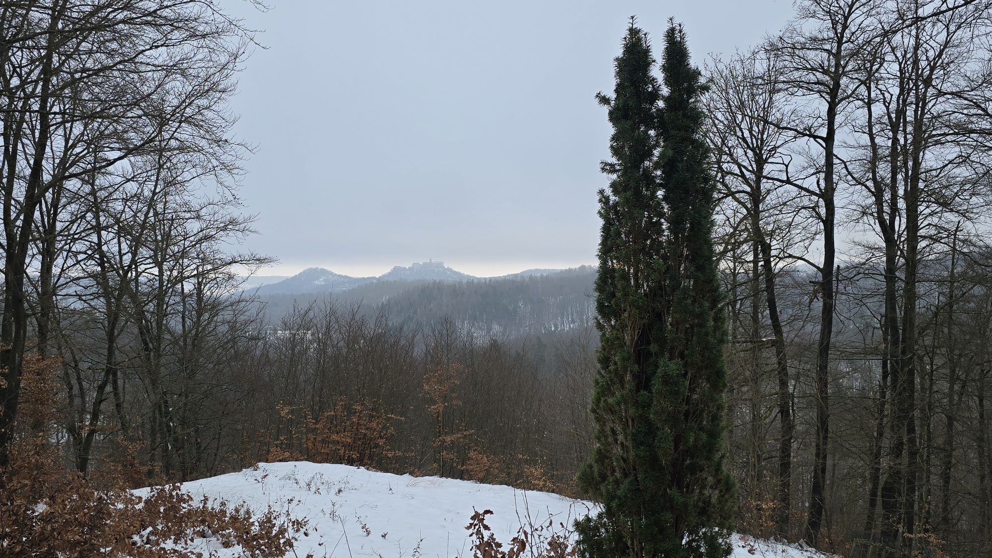
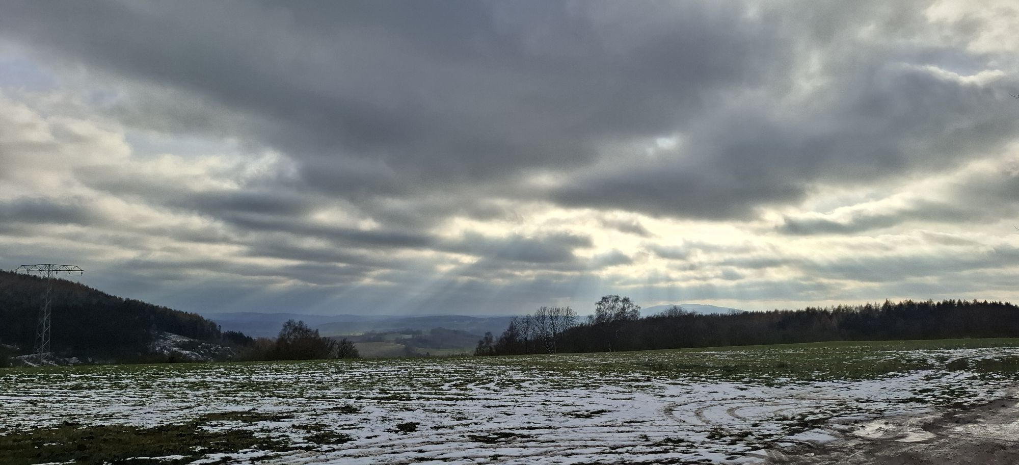
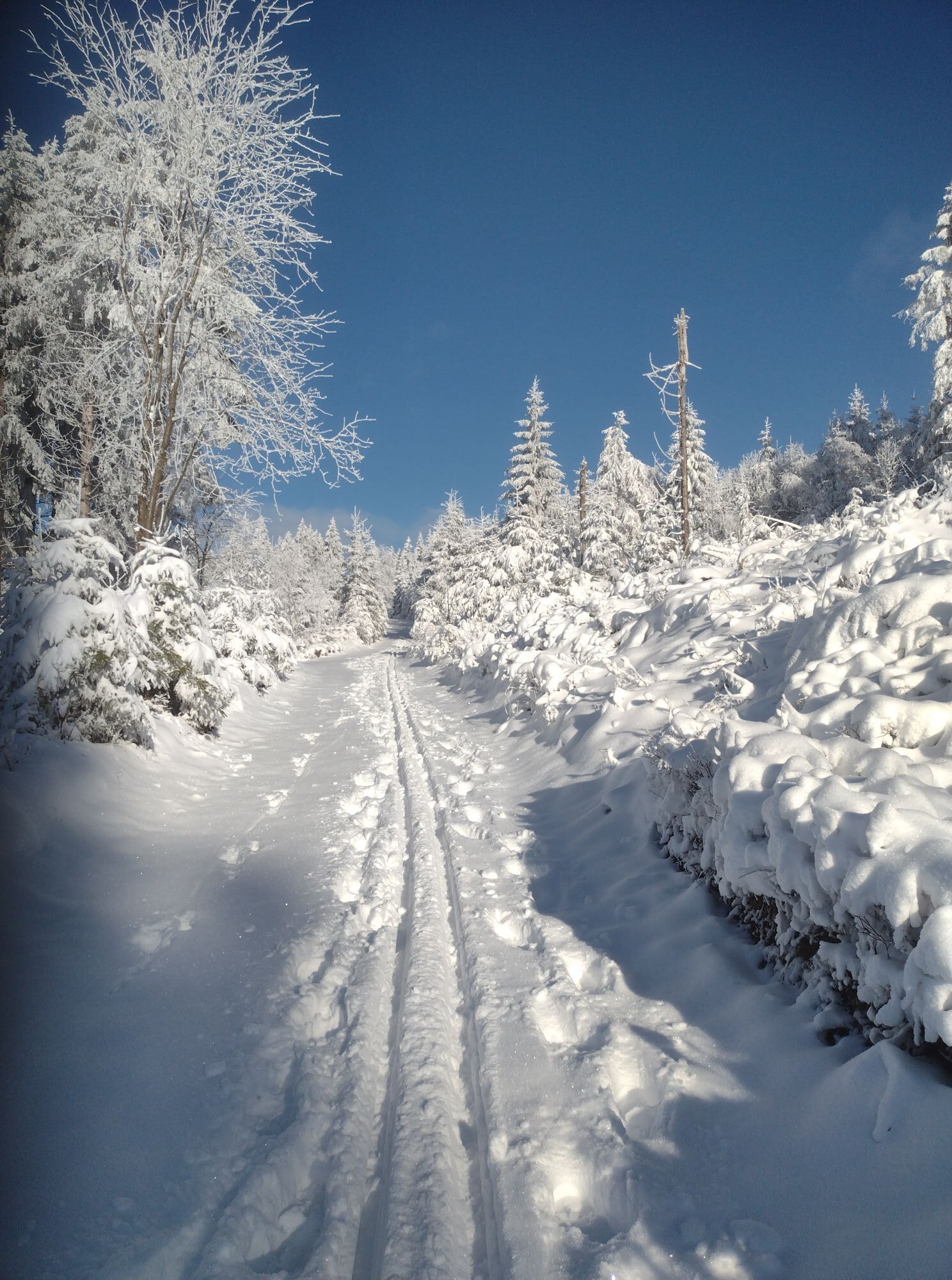
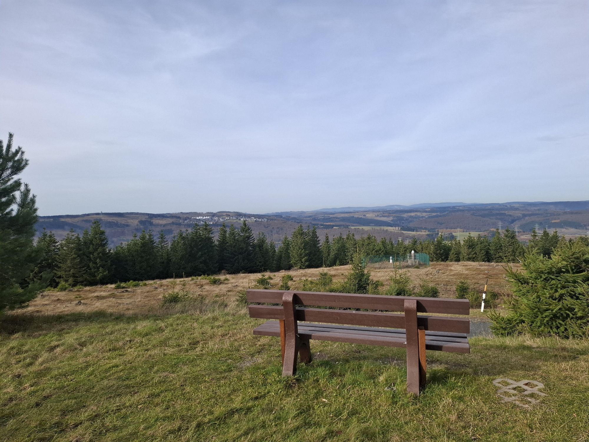
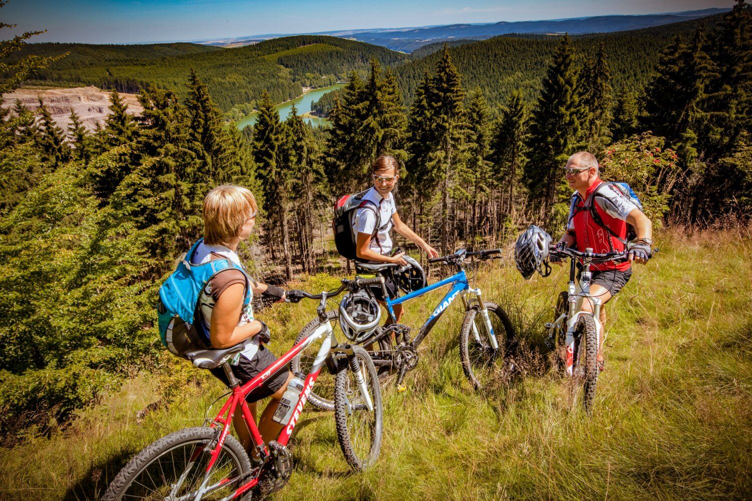
On this more than 450 km long route, you will experience the region around the Rennsteig. Steep climbs and descents are part of the route profile as are magnificent panoramic views over the expanses of...
On this more than 450 km long route, you will experience the region around the Rennsteig. Steep climbs and descents are part of the route profile as are magnificent panoramic views over the expanses of the Thuringian Forest.
Experience the region with all its highlights to the right and left of the Rennsteig. The route takes you from Hörschel to Blankenstein. On a total of 19 loops you cycle the Thuringian Forest around the most famous long-distance hiking trail in central Germany - the Rennsteig - and also explore the highlights off the ridge path down into the valleys.
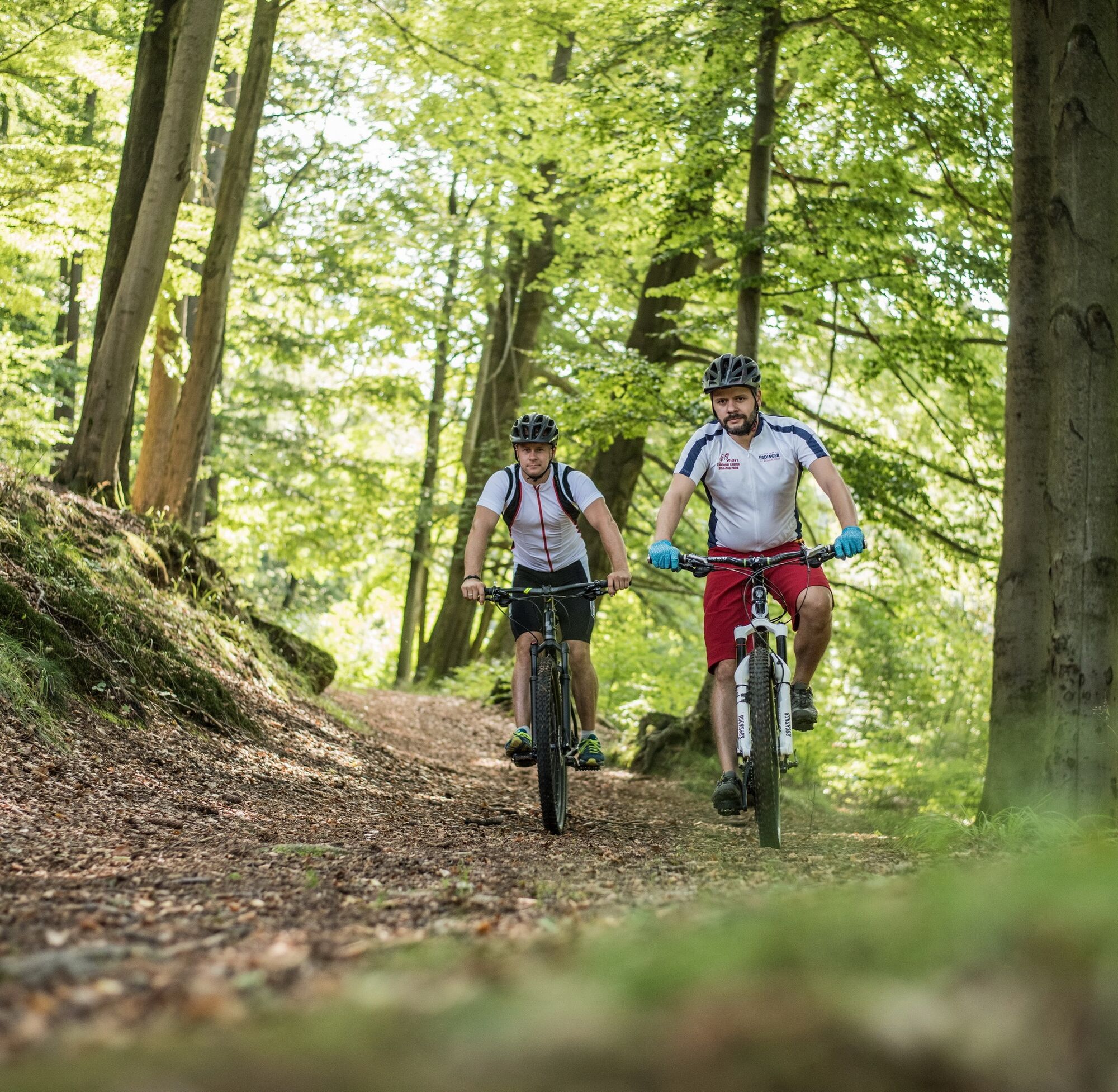
This route is an ideal challenge for mountain bikers with a low trail share but is suitable for ambitious cyclists preparing for crossing the Alps.
Divide the route into stages as you wish.

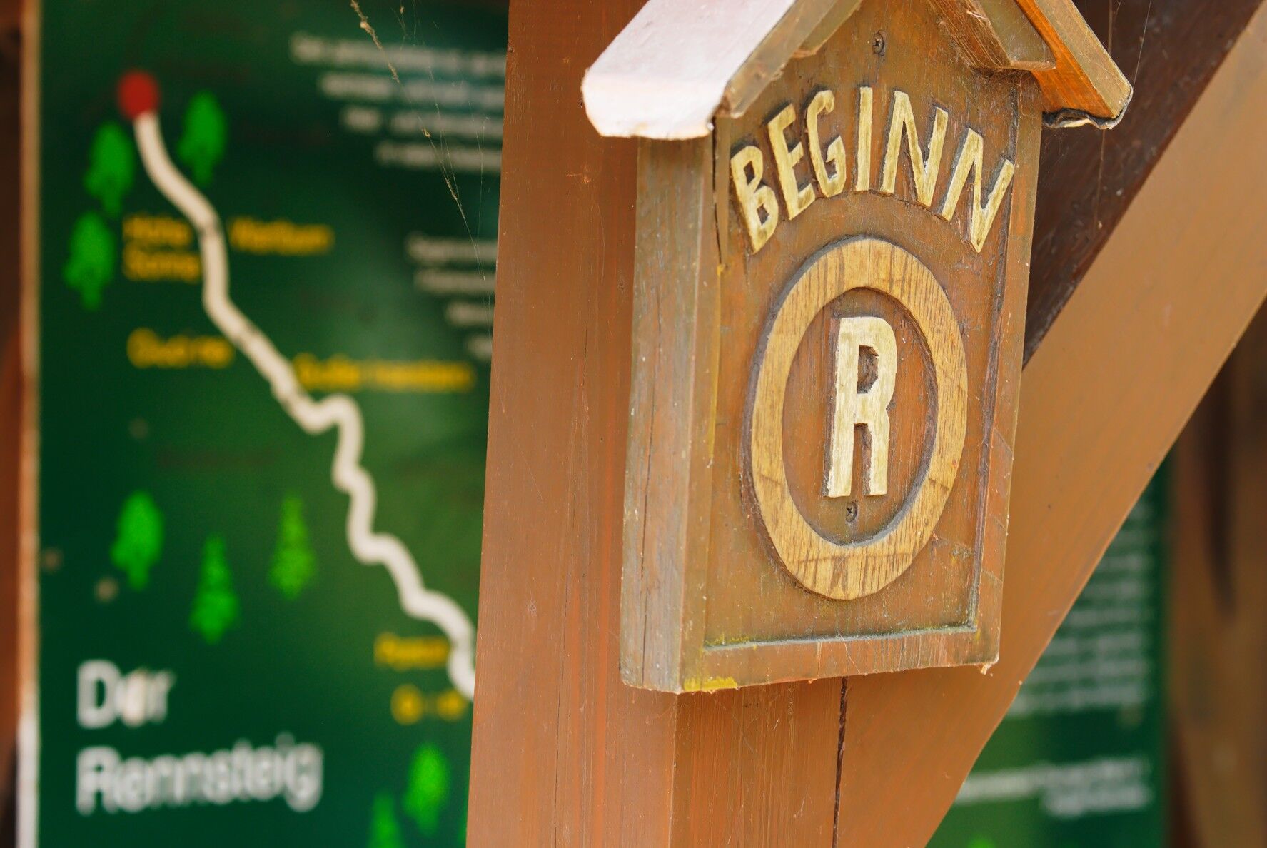
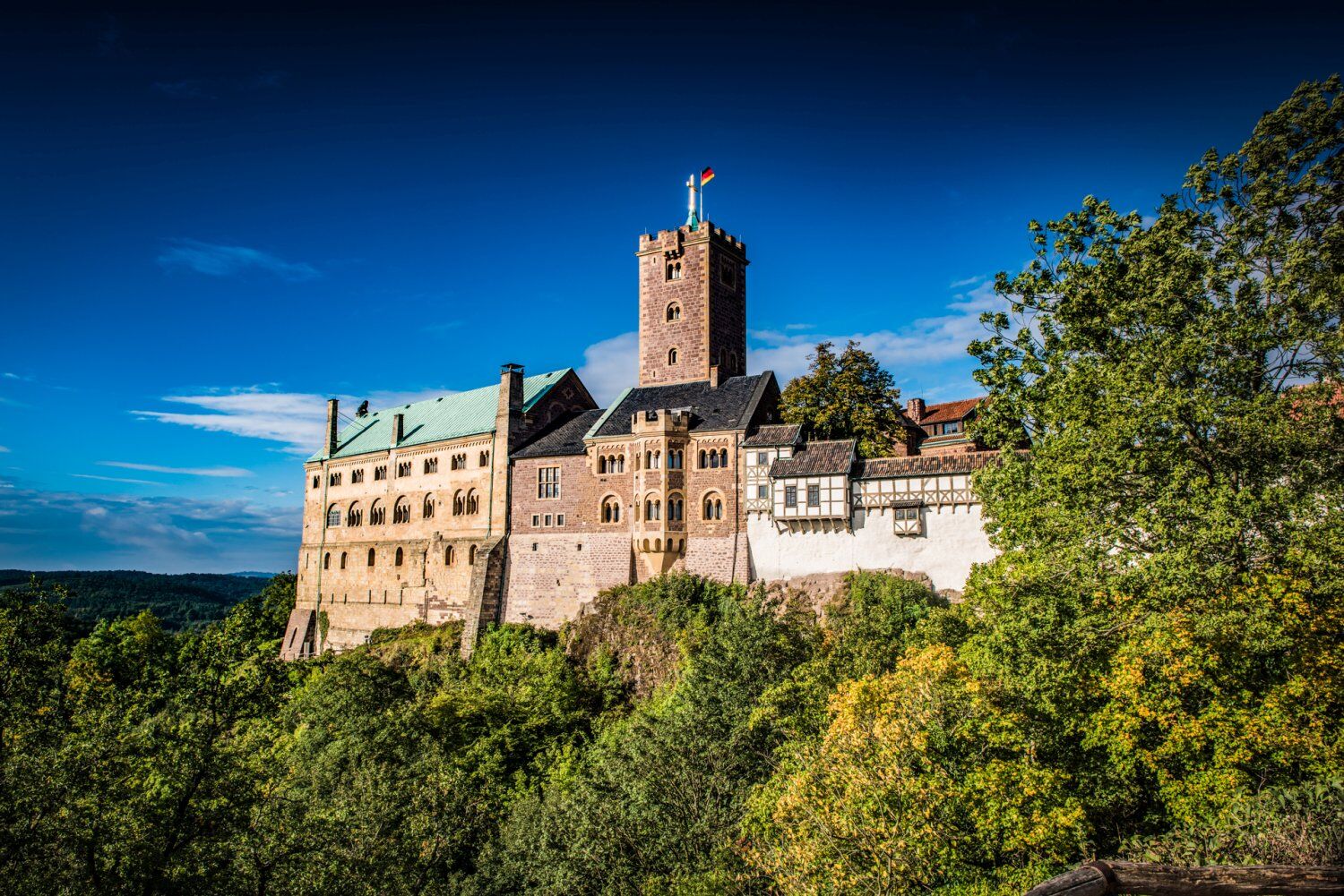
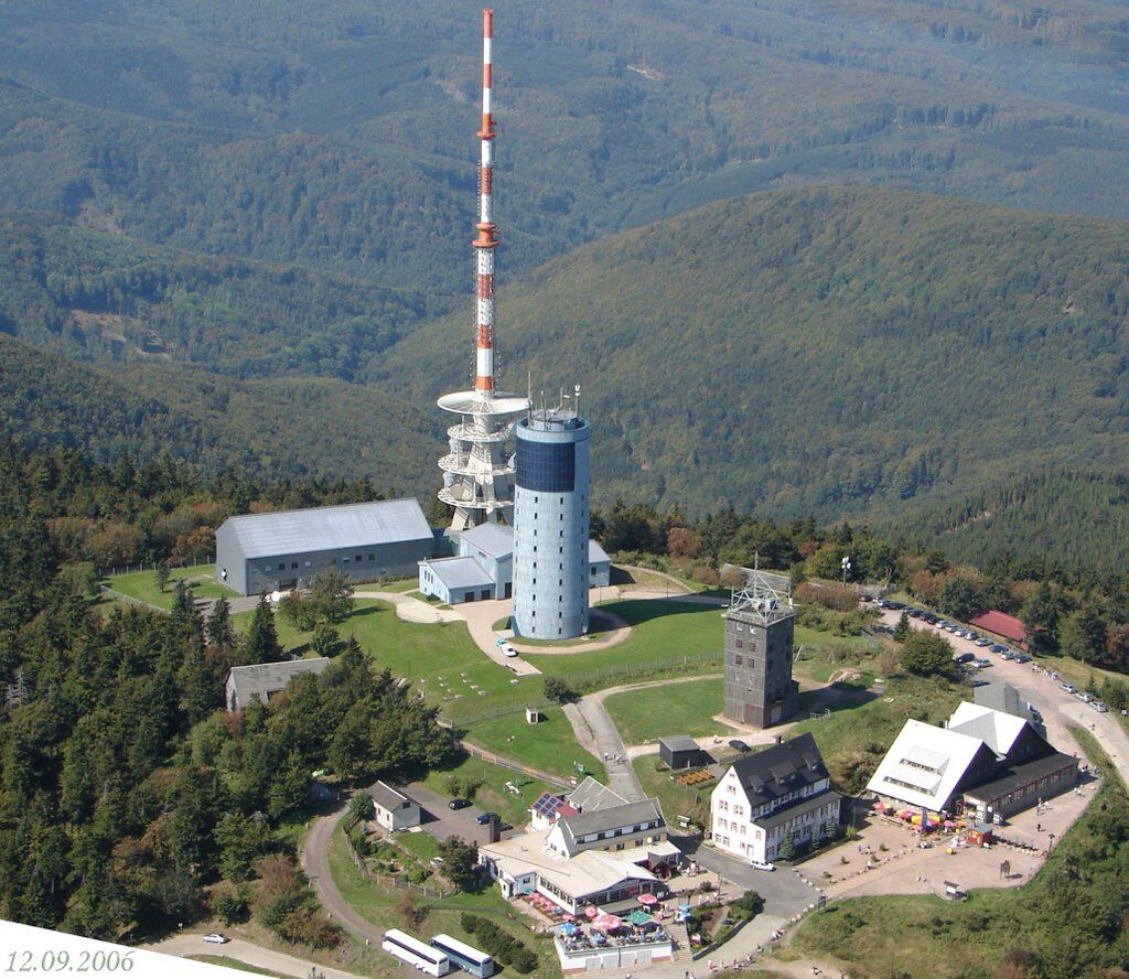

Hörschel - Neunhof - Hof Clausberg - Hohe Sonne - Wartburg - Eisenach - Burschenschaftsdenkmal - Wilhelmsthal - Ruhla - Bad Liebenstein - Großer Inselsberg - Brotterode - Schmalkalden - Floh-Seligenthal - Ebertswiese - Steinbach-Hallenberg - Zella-Mehlis - Grenzadler - Oberhof - Oberhof (train station) - Schneekopf - Gehlberg - Geraberg - Elgersburg - Roda - Schmücke - Goldlauter - Schmiedefeld - Stützerbach - Rennsteig train station - Allzunah - Frauenwald - Schönbrunn reservoir - Neustadt am Rennsteig - Großbreitenbach - Altenfeld - Gießübel - Heubach - Masserberg - Waffenrod - Hirschendorf - Sachsenbrunn - Siegmundsburg - Limach - Scheibe-Alsbach - Goldisthal pumped storage plant - Katzhütte - Cursdorf - Wallendorf - Neuhaus am Rennweg - Lauscha - Steinach - Blechhammer - Judenbach - Tettau - Spechtsbrunn - Gräfenthal - Steinbach am Wald - Ludwigsstadt - Thuringian Slate Park Lehesten - Blankenstein
Tak
Tak
Bike: mountain bike, e-mountain bike, gravel bike
Bicycle helmet
The route leads partly over extremely difficult terrain. Please always pay attention to secure footing and the condition of the paths. Do not overestimate your own abilities.
Safety first!
To Hörschel:
You can reach the town on the Werra river by car from the A4 coming off at exit 39 "Eisenach-West". Continue on the B7 towards Creuzburg and at the second roundabout take the L1017 towards Spichra and Hörschel.
To Blankenstein:
You can reach Blankenstein from the A9 via exit 30 "Rudolphstein". Then continue west over Rudolphstein and Eisenbühl to Blankenstein.
Hörschel and Blankenstein are connected to the Regio network of the Deutsche Bahn and are reachable daily and regularly. More information and timetable at www.bahn.de
In Hörschel: Please use the Rennsteig car park at the train station (LINK)
In Blankenstein: Please use the parking facilities at Selbitzplatz (LINK)
Bike dealers and advice:
Rad-Art Erfurt / Gotha / Ilmenau / Friedrichroda Fahrrad Eberhardt GothaBike rental:
Sport Luck OberhofGuided routes and events:
Rennsteig bike tour Neuhaus am Rennweg TravelButler EisenachIf you complete the entire route, it is tradition to take a stone from the shore of the Werra river and throw it into the Saale from the bridge in Blankenstein.
Kamery internetowe z trasy
Bergstation Silbersattel
Bergstation Großer Inselsberg
Fallbachhang Bergstation
Haus des Gastes in Oberhof
Frauenwald am Rennsteig
Tabarz
Berggasthof "Spießberghaus"
Friedrichshöhe - Naturpark Thüringer Wald
Neustadt am Rennsteig
TU Ilmenau
Rennsteiggarten Oberhof
Elgersburg - Hohe Warte
Oberweißbach-Bergbahn
Berggasthof "Spießberghaus"
Pension Schmiechen Oberhof
Fallbachhang Talstation
Kleiner Inselsberg / Sommerrodelbahn
Brotterode - Berggasthof Stöhr
Steinbach-Hallenberg / Am Knüllfeld
Lauscha
Lauscha
Bad Tabarz - Aussichtsturm Inselsberg
Oberweißbach-Bergbahn
Ruhla - Sommerrodelbahn
Ruhla - mini-a-thür
Oberweißbach Fröbelturm
Rennsteig - Loipe am Stein 16
Oberhof - Schneekopfturm
Kiesellift Tettau
Sportgymnasium Oberhof
Sachsenbrunn - Bleßberg
Schmiedefeld
Ilmenau - Kickelhahn Turm
Golfkletterpark Oberhof
Tettau in Oberfranken
Wildberglift Tettau
Manebach Berggrabenweg
Ilmenau ITZBund
Schlossberg Stützerbach
Schmalkalden
Uzyskaj wgląd Zawsze na żywo z ponad 9 500 kamer internetowych. bergfex Jako użytkownik Pro, możesz teraz zobaczyć odpowiednie kamery internetowe dla wielu wycieczek w aplikacji wycieczki od. Pozwala to na bezpośredni podgląd aktualnych warunków. Popularne wycieczki w okolicy
- 4,4
Circular route - Around the Heyda Dam - Thuringian Forest
średniWędrówka 7,59 km - 5,0
Naturlehrpfad Gießübler Schweiz
średniWędrówka 7,99 km - 3,0
Circular hike - "4 ponds hike" Neustadt am Rennsteig - Thuringian Forest
ciężkiWędrówka 12,6 km - 3,8
Rundweg Talsperre
średniJazda na rowerze 14,5 km The Rennsteig - long-distance hiking trail from Hörschel to Blankenstein - Thuringian Forest
ciężkidługodystansowy szlak pieszy 169,0 km- 5,0
Hiking - Summit hiking trail - Suhl-Goldlauter - Thuringian Forest
ciężkiWędrówka 32,1 km - 4,5
Hike over the Rennsteig & the Schneekopf to the Schmücke
ciężkiWędrówka 20,9 km - 5,0
Circular hiking route - TOP 1 - Werra Source - Masserberg - Thuringian Forest
średniWędrówka 5,94 km Circular hike - Around the Schönbrunn reservoir - Thuringian Forest
średniWędrówka 15,6 km- 5,0
Circular hike to Bärenstein & Pfanntalsteich
średniWędrówka 9,10 km
Wędrówki i tropienie


Nie przegap ofert i inspiracji na następne wakacje
Twój adres e-mail została dodana do listy mailingowej.





