


Percorso Valle Maggia - Stage 1: Bellinzona-Locarno
The Bellinzona starting point lies in a strategic spot at the southern entrance to the Gotthard, San Bernardino and Lukmanier Alpine passes. And, assimilating a Lombard character, it’s known to be the...
Named after the municipality of Magadino, the Magadino plain is located at the south-eastern end of the lake. A plain in part shaped by extensive vegetable gardens and the so-called ""Bolle di Magadino"" - one of the last unused river deltas in Switzerland. ""Bolle"" refers to bogs and marshes in Italian. This sunny route crosses the Verzasca; or rather what remains of it after the water has passed the dam best known from the James Bond film.
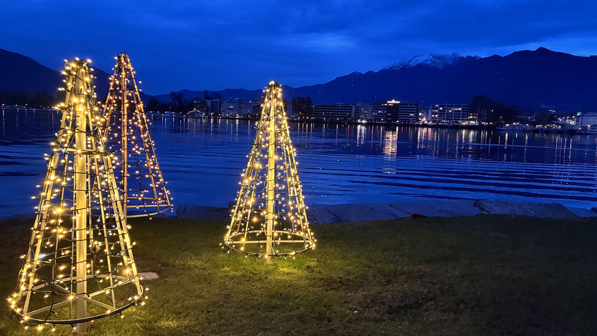
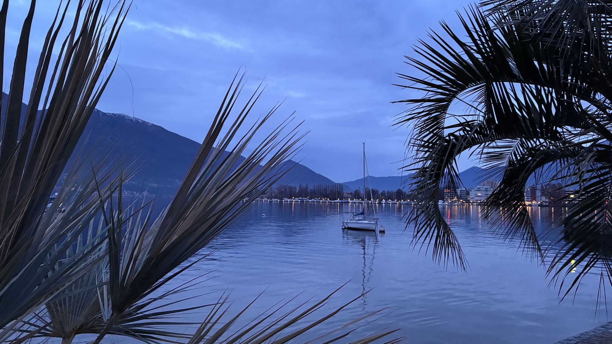
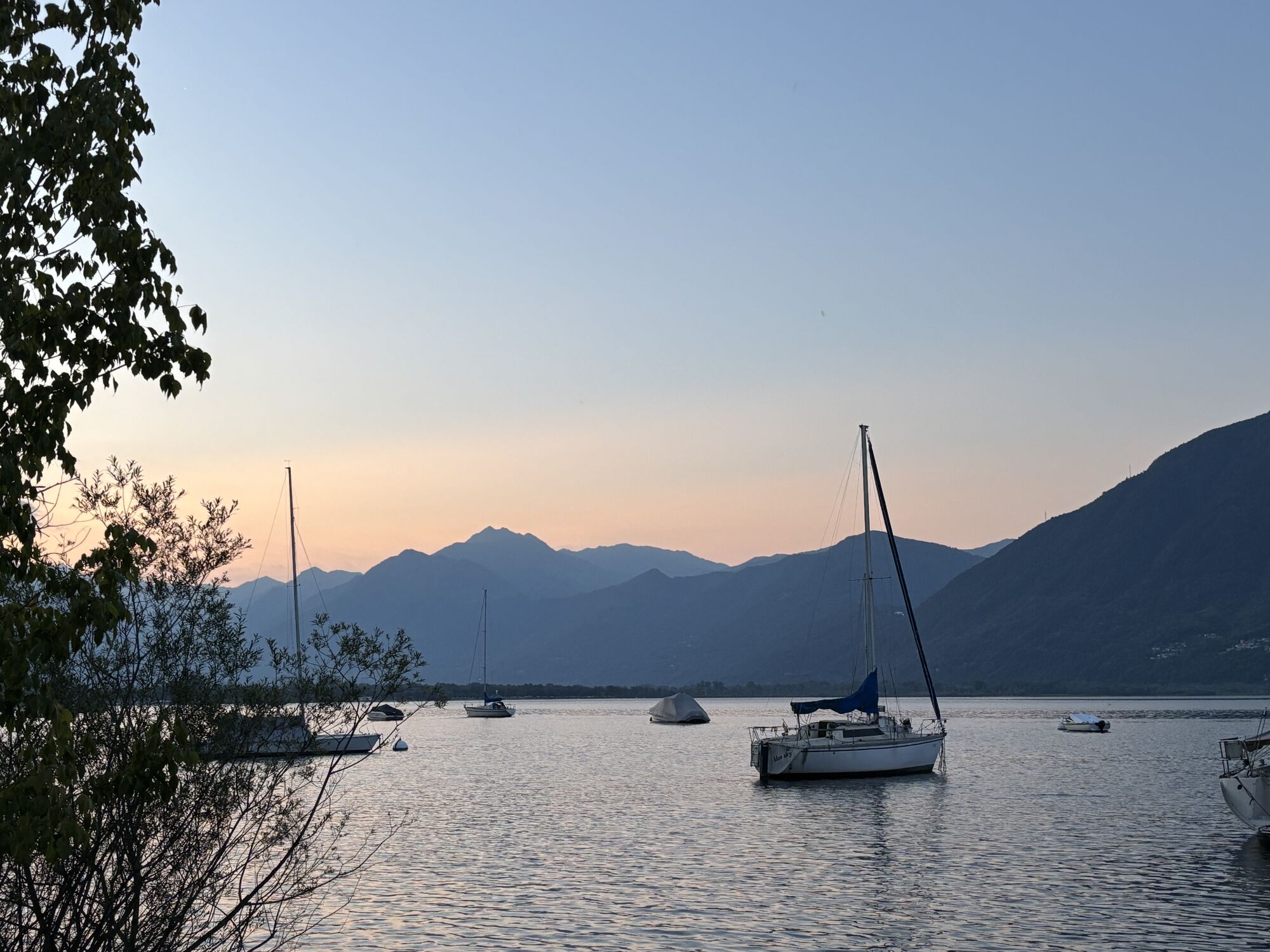
By Lake Maggiore you share in the company of young athletes at the national youth sports center Tenero - with the shoreline stretch between Tenero and Locarno then shaped by simple Ticino-style houses and large villas. Locarno lures people by the dozen to its international film festivals - and climatically it’s the mildest city in Switzerland, with around 2200 hours of sunshine a year.
(Source: Switzerland Mobility)


Bellinzona, Stazione-Giubiasco-Gudo-Cugnasco-Tenero-Minusio-Muralto-Locarno
Tak
Kamery internetowe z trasy
Cardada Endstation Luftseilbahn
Cimetta Bergstation
Cimetta Bergstation
Cimetta Bergstation
Ascona - Golf Club Patriziale Ascona
Cardada - Albergo Colmanicchio
Giubiasco
Castelgrande
Castelgrande
Cimetta Endstation Sessellift
Ascona - Hotel Castello Seeschloss
Losone Golf Club Gerre
Gambarogno
Bellavista Hotel
Vira - Hotel Bellavista
Tenero Camping Campofelice
Hotel Casa Berno
Contra (Hotel San Bernardo)
Monte Carasso Mornera
Popularne wycieczki w okolicy
- 4,8
Avegno-Ponte Brolla-Avegno
średniWędrówka 8,56 km - 4,8
Verzasca Dam-Mergoscia-Corippo-Lavertezzo
średniWędrówka 13,0 km - 4,7
Tibetan Bridge route (SwitzerlandMobile 628)
średniWędrówka 9,02 km - 5,0
Lavertezzo-Brione Verzasca
światłoWędrówka 6,50 km - 4,3
Revöira Ethnographic Trail (SwitzerlandMobile 629)
średniWędrówka 7,97 km - 4,0
Cardada Bike (SwitzerlandMobility 397)
ciężkiMountainbike 30,6 km - 5,0
Verzasca Dam-Monti di Motti-Verzasca Dam
średniWędrówka 9,31 km Cardada-Cimetta-Alpe Vegnasca-Cardada
średniWędrówka 6,86 km- 4,8
Von Isone über den Camoghè 2.227m nach Colla
ciężkiWędrówka 20,2 km - 4,5
Klettersteig dei tre signori, Monte Carasso
ciężkiVia ferrata 4,85 km

Wędrówki i tropienie


Nie przegap ofert i inspiracji na następne wakacje
Twój adres e-mail została dodana do listy mailingowej.