







Avegno-Ponte Brolla-Avegno
Poziom trudności: T2
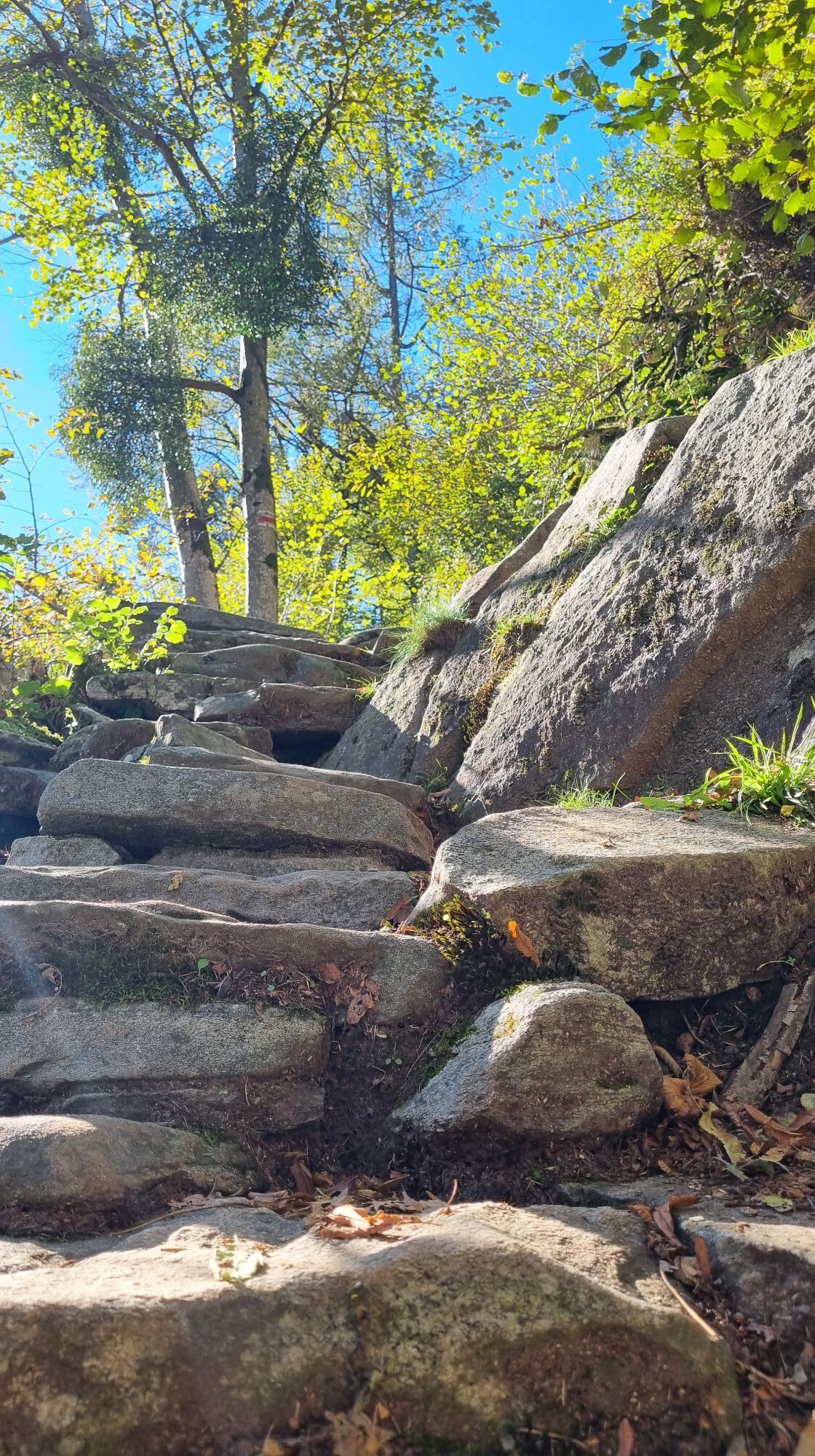
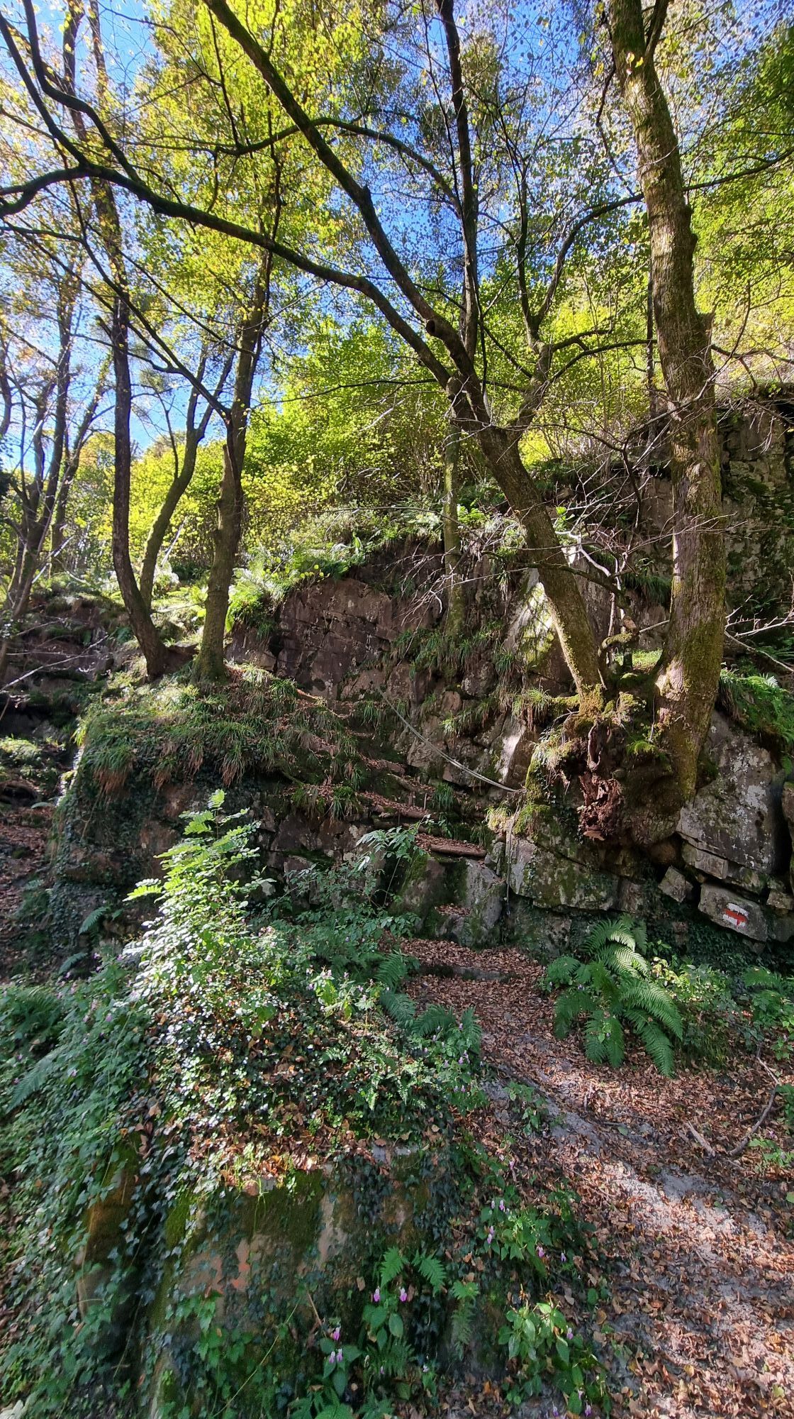
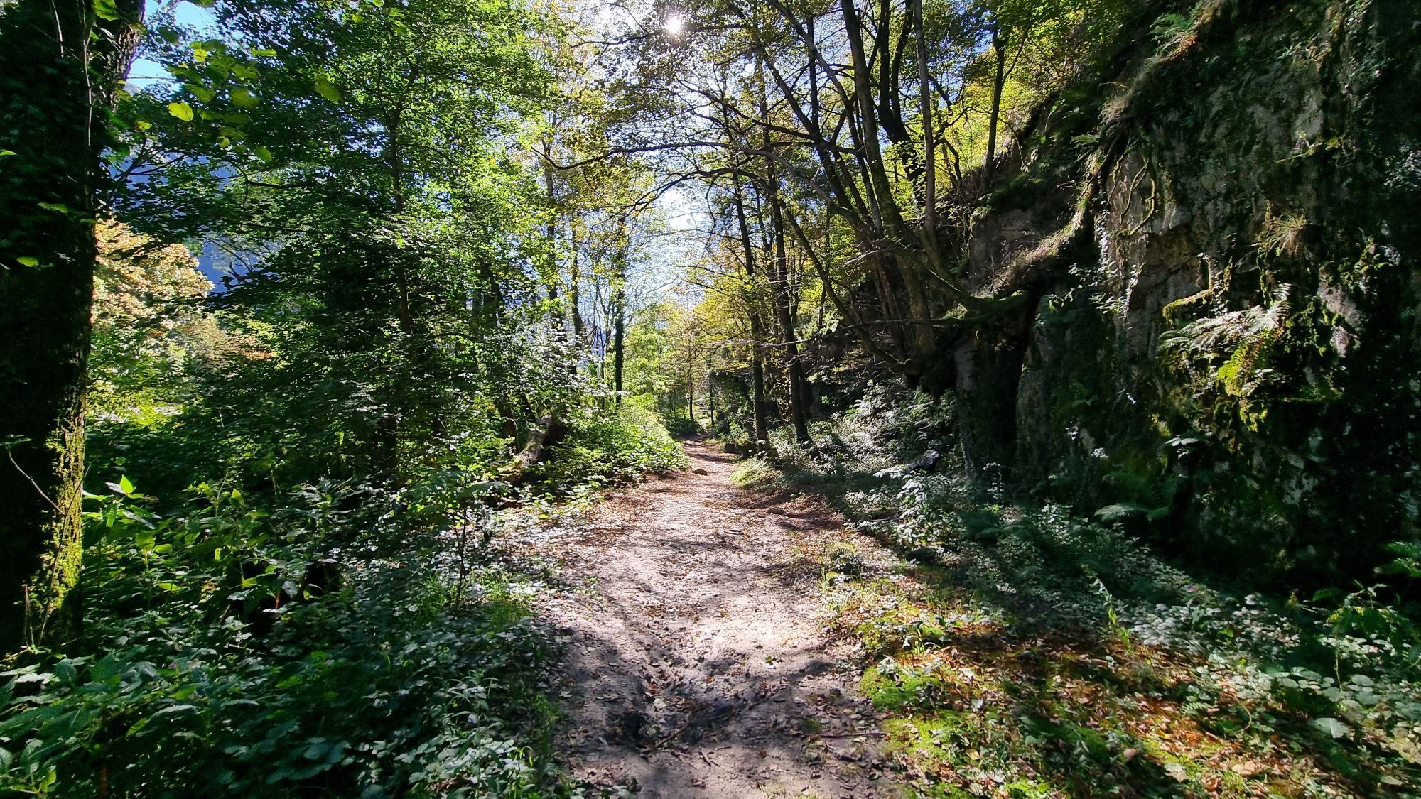
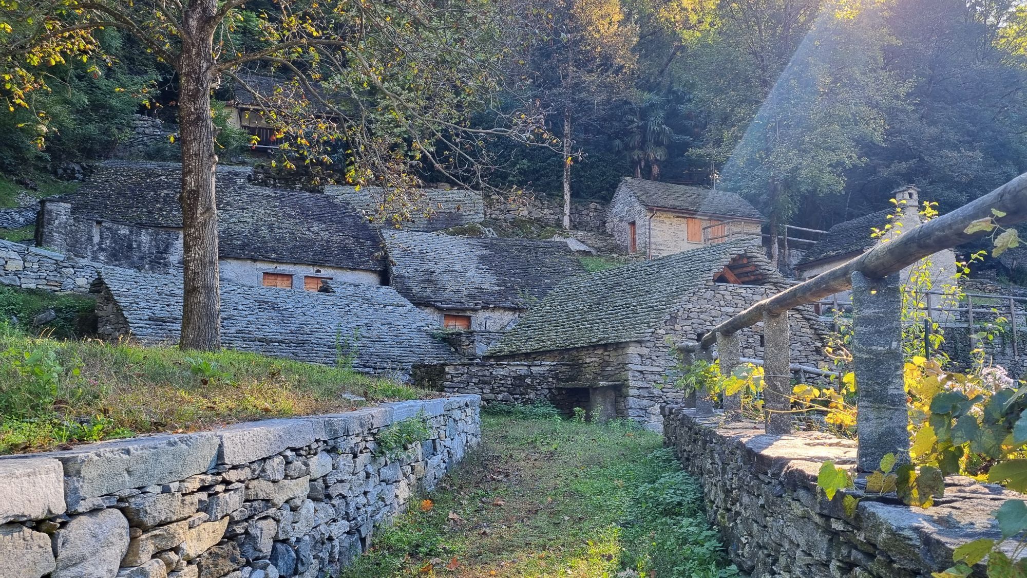
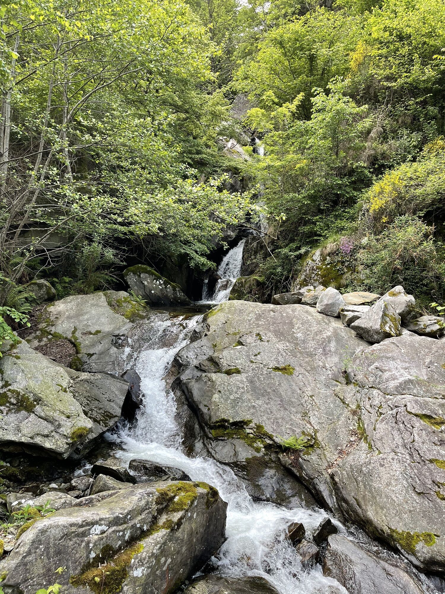
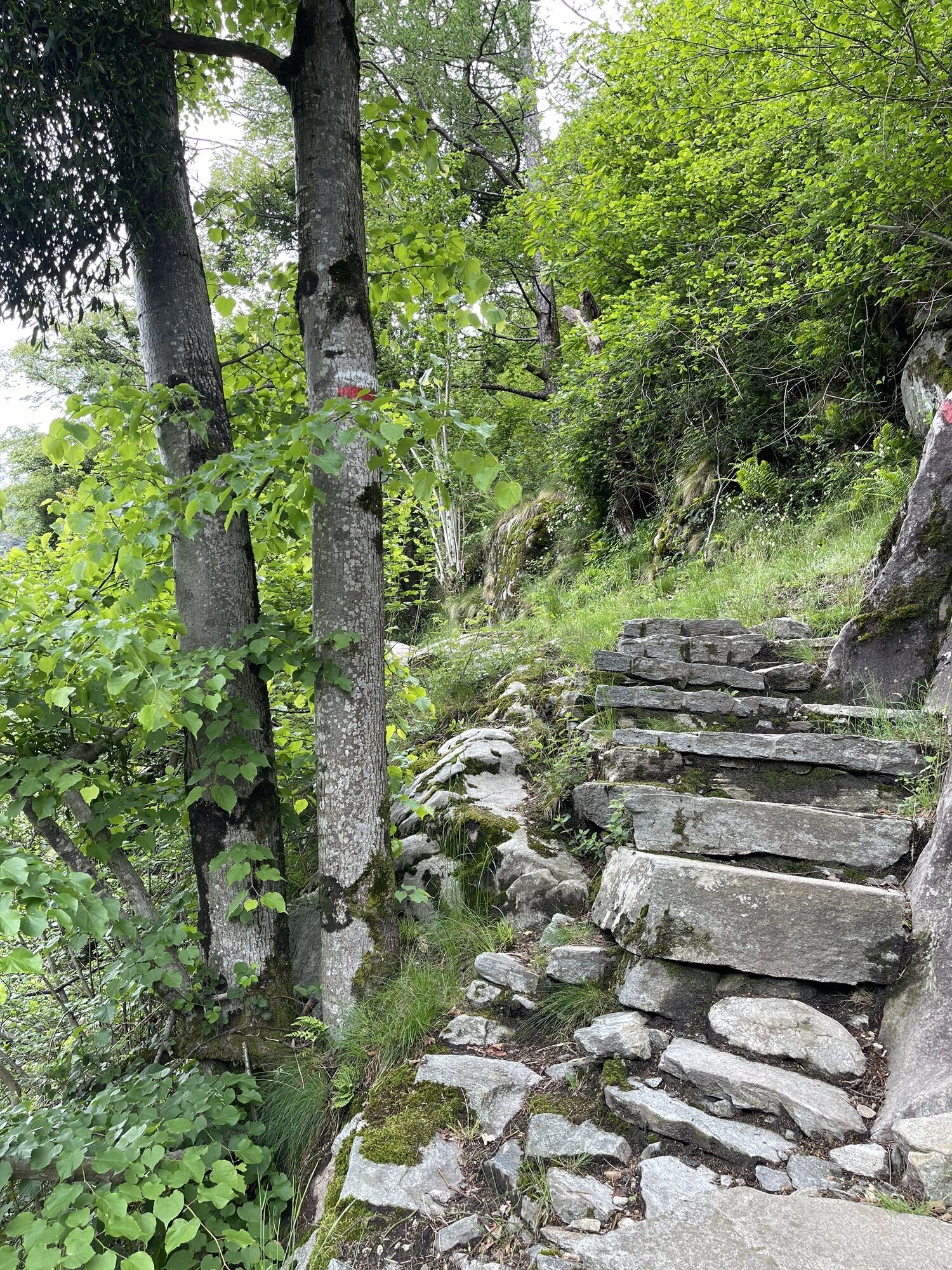
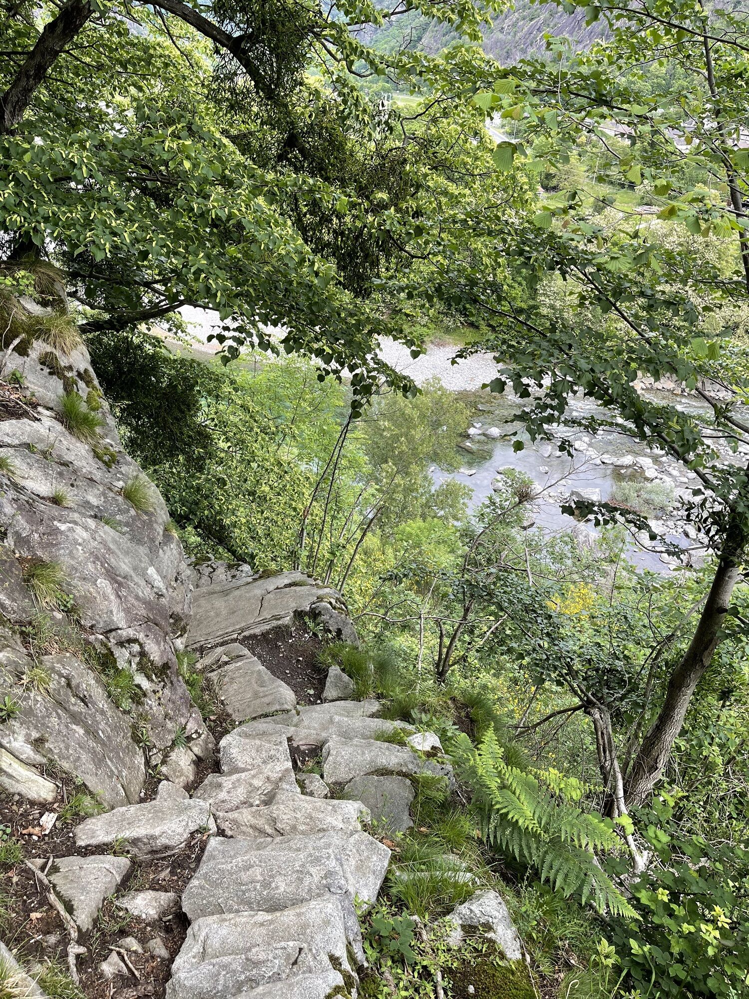
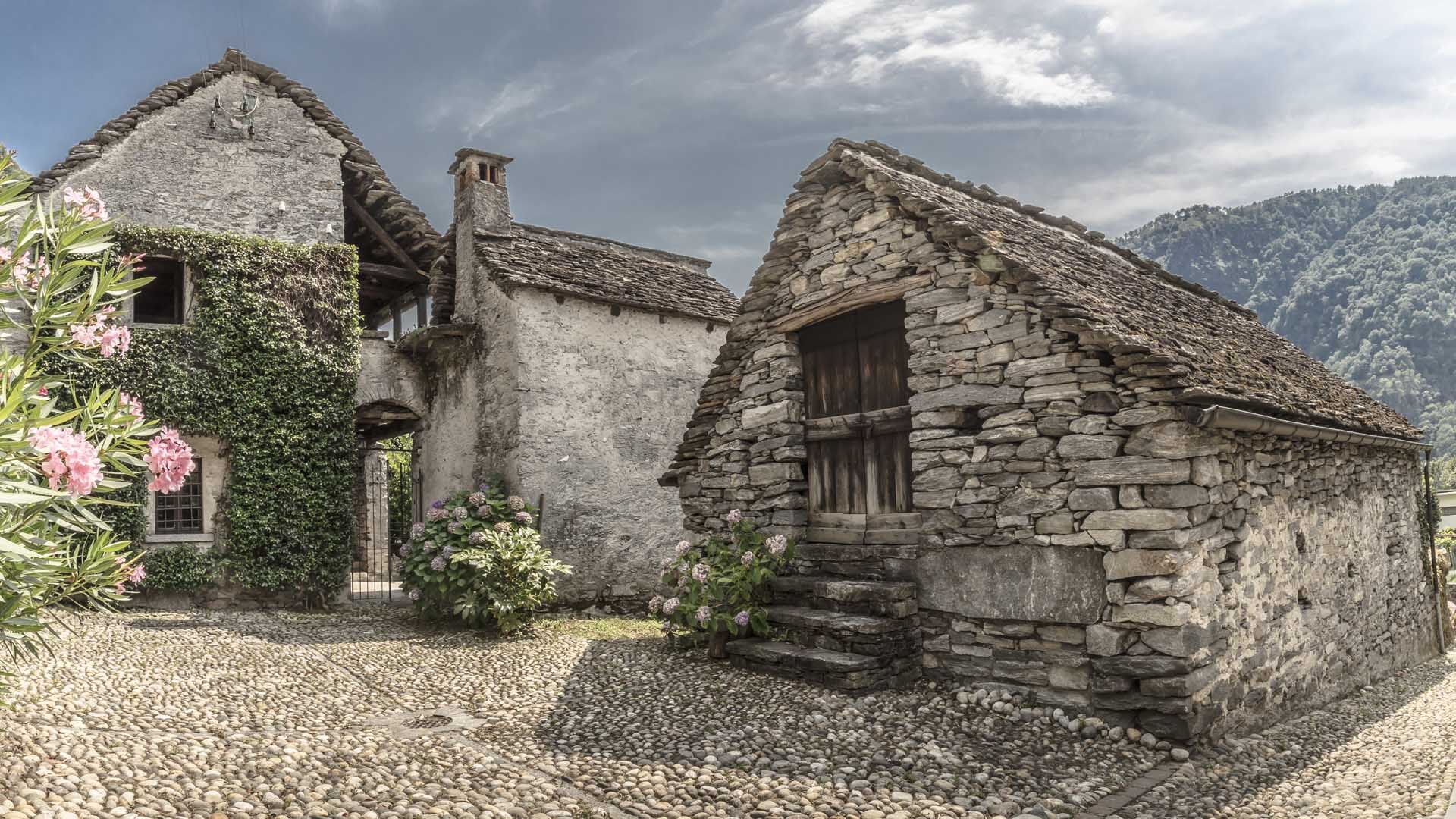
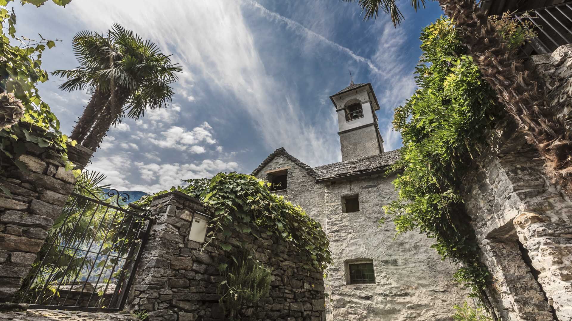
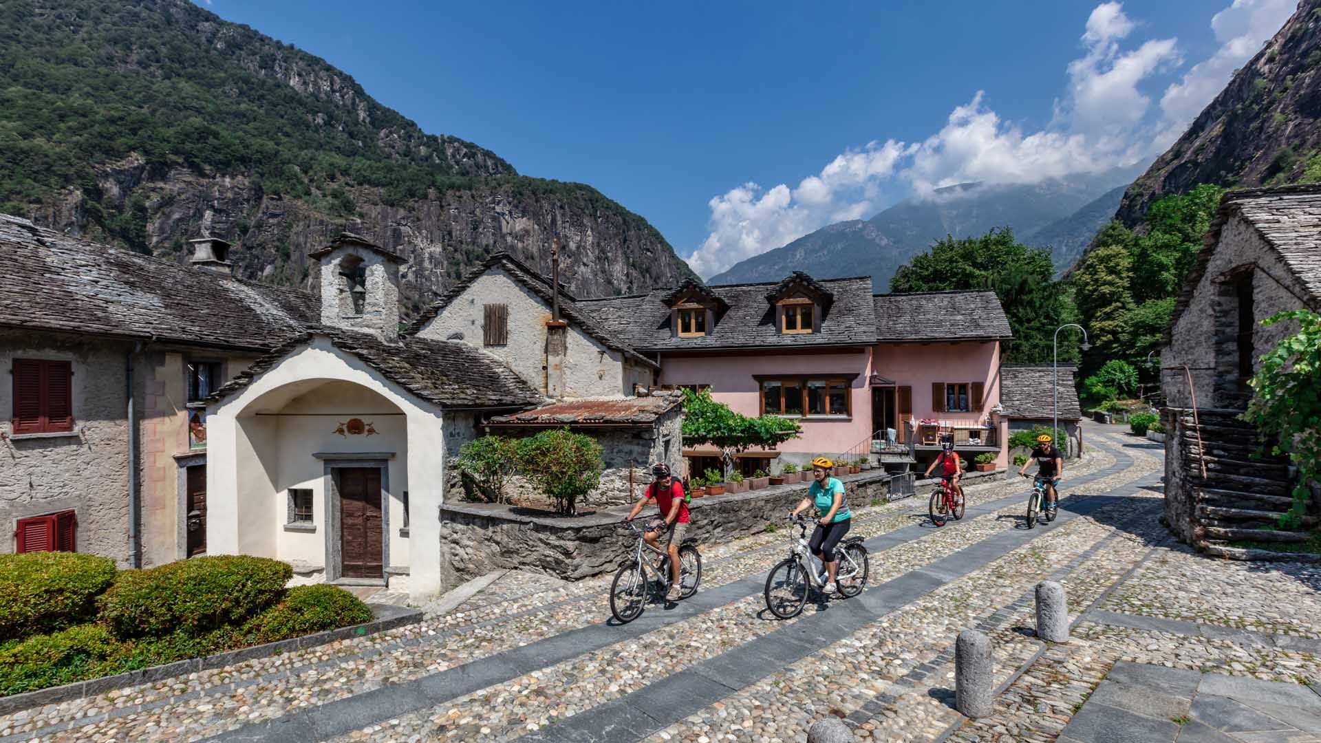
From Avegno, a village awarded the Wakker Prize in 1982 for its traditional character, a well-marked trail leads towards Ponte Brolla. Above the village, the path steadily climbs through the forest up...
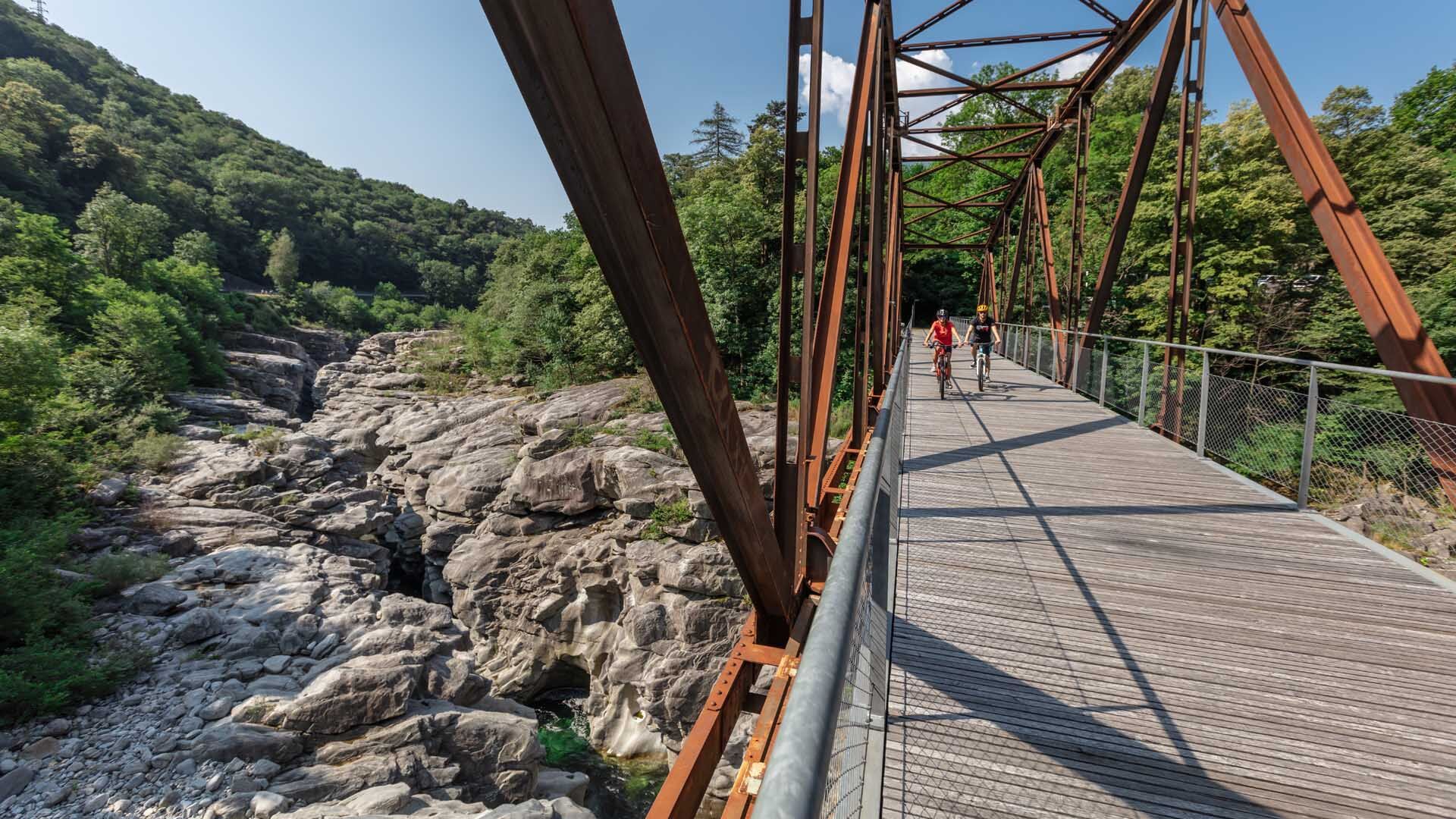
Here begins the descent along the perfectly beaten trail to the main road, where you cross the old railway bridge, where it is worth taking a short break to admire the Ponte Brolla gorges shaped and smoothed by water. Once on the other side, the route reenters the forest passing several grottos.
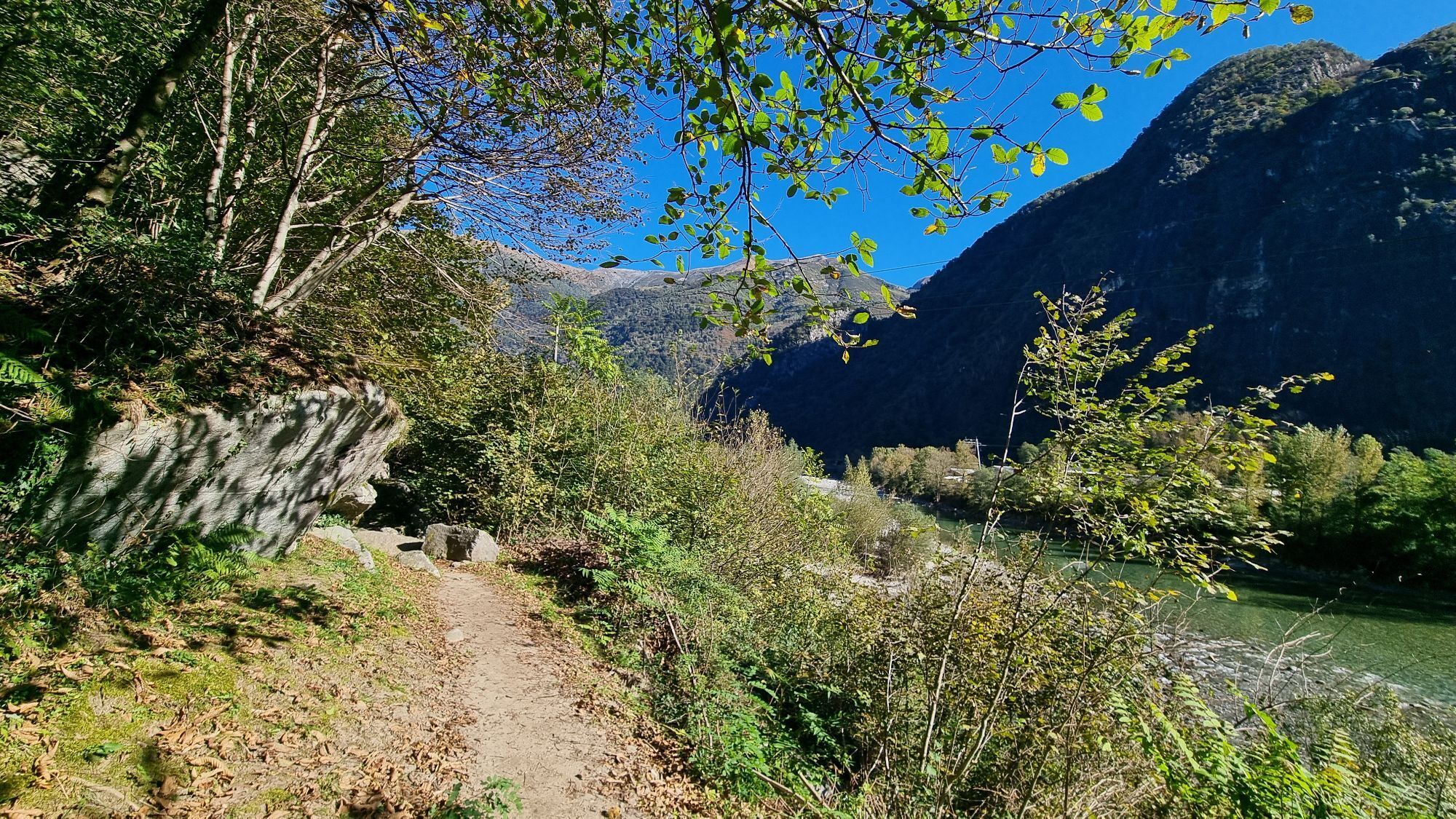
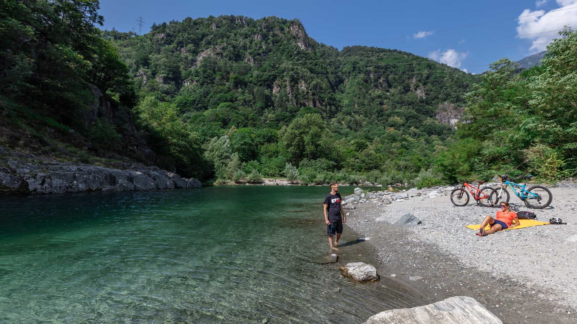
During the hot summer months, the shade of the trees eases the climb along the stone staircase. The trail partly runs along the Maggia river and, when it’s hot, you can take a short refreshing break in its waters. At Avegno you return to the village via the pedestrian passage.


Avegno di Dentro-Avegno di Fuori-Ponte Brolla-Torbècc-Avegno di Dentro
Tak
Hiking backpack (approx. 20 liters) with rain cover
Sturdy and comfortable shoes
Weather-appropriate and durable clothing, layering principle and possibly trekking poles
Sun and rain protection
Supplies and drinking water
First aid kit
Pocketknife
Mobile phone, possibly headlamp
Map material
Outbound from Locarno, Station: take bus NFB 315, direction Cavergno, Paese. Get off at the Avegno, Paese stop. Return from Avegno, Paese: Take bus 315 towards Locarno, Station. For more information: www.sbb.ch
T2
 Uzyskaj wgląd Zawsze na żywo z ponad 9 500 kamer internetowych. bergfex Jako użytkownik Pro, możesz teraz zobaczyć odpowiednie kamery internetowe dla wielu wycieczek w aplikacji wycieczki od. Pozwala to na bezpośredni podgląd aktualnych warunków.
 Popularne wycieczki w okolicy
- 4,6
Verzasca Dam-Mergoscia-Corippo-Lavertezzo
średniWędrówka 13,0 km - 4,8
Valle del Salto round route (SvizzeraMobile 611)
średniWędrówka 8,84 km - 3,3
Entlang der Verzasca von Sonogno via Brione nach Lavertezzo
światłoWędrówka 14,5 km - 5,0
Lavertezzo-Brione Verzasca
światłoWędrówka 6,50 km - 4,5
Revöira Ethnographic Trail (SwitzerlandMobility 629)
średniWędrówka 7,97 km - 3,8
Cannobio zu Sant’Aagata
światłoWędrówka 5,85 km - 4,0
Cardada Bike (SwitzerlandMobility 397)
ciężkiMountainbike 30,6 km - 5,0
Verzasca Dam-Monti di Motti-Verzasca Dam
średniWędrówka 9,31 km Cardada-Cimetta-Alpe Vegnasca-Cardada
średniWędrówka 6,86 kmMaggia-Someo-Maggia
światłoWędrówka 15,5 km
Wędrówki i tropienie


Nie przegap ofert i inspiracji na następne wakacje
Twój adres e-mail została dodana do listy mailingowej.





