


Verzasca Dam-Monti di Motti-Verzasca Dam
Poziom trudności: T3
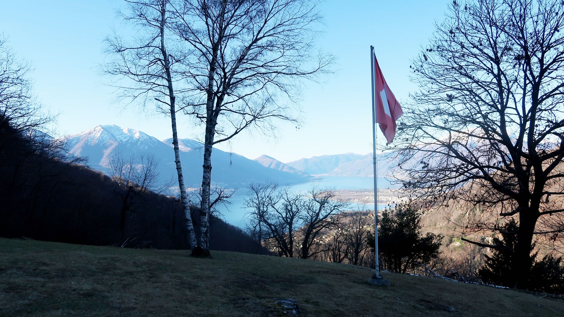
This beautiful hike begins at Switzerland's most famous dam due to the spectacular James Bond bungee jump (available from April to October). At first, you walk on asphalt and gravel, then the road turns...
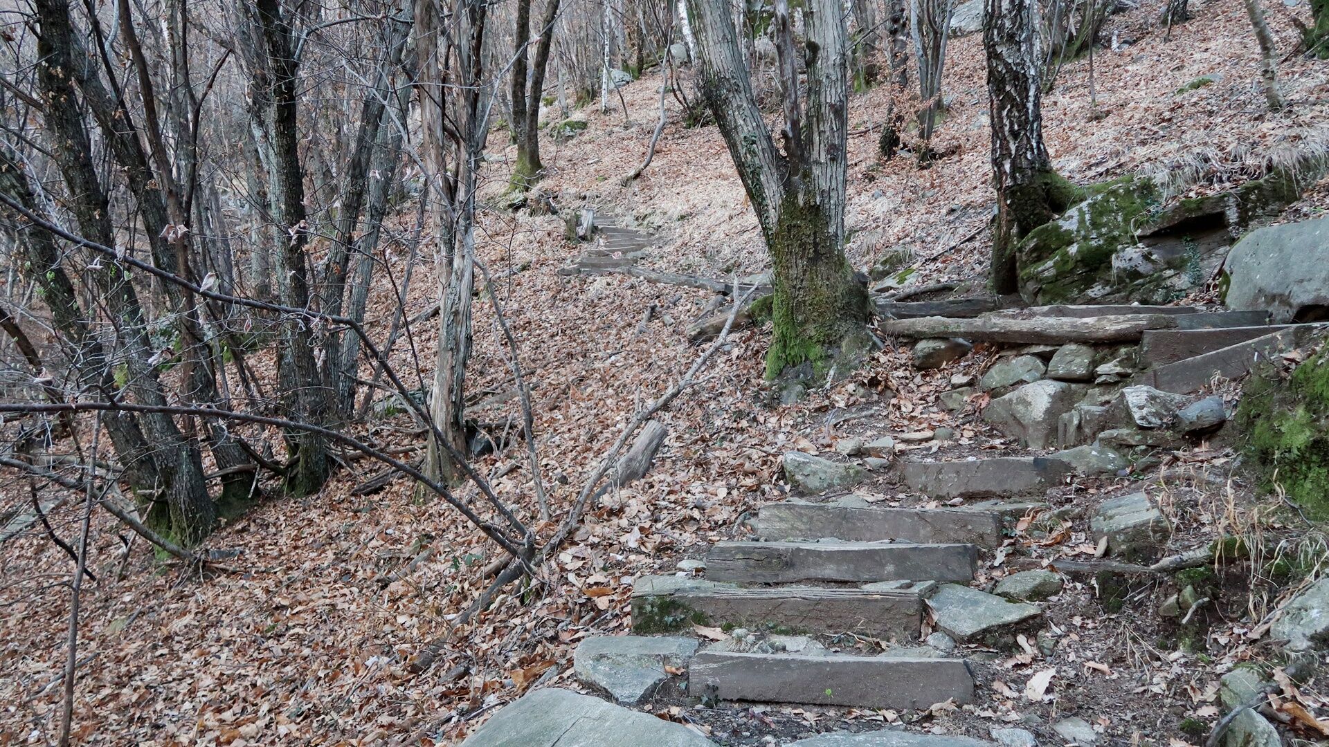
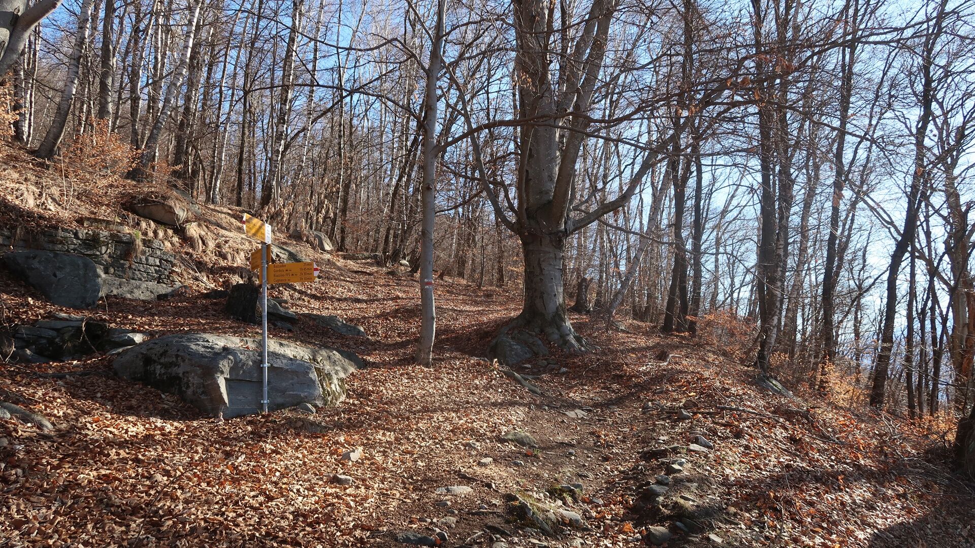
This beautiful hike begins at Switzerland's most famous dam due to the spectacular James Bond bungee jump (available from April to October). At first, you walk on asphalt and gravel, then the road turns into a mountain path marked in red and white.
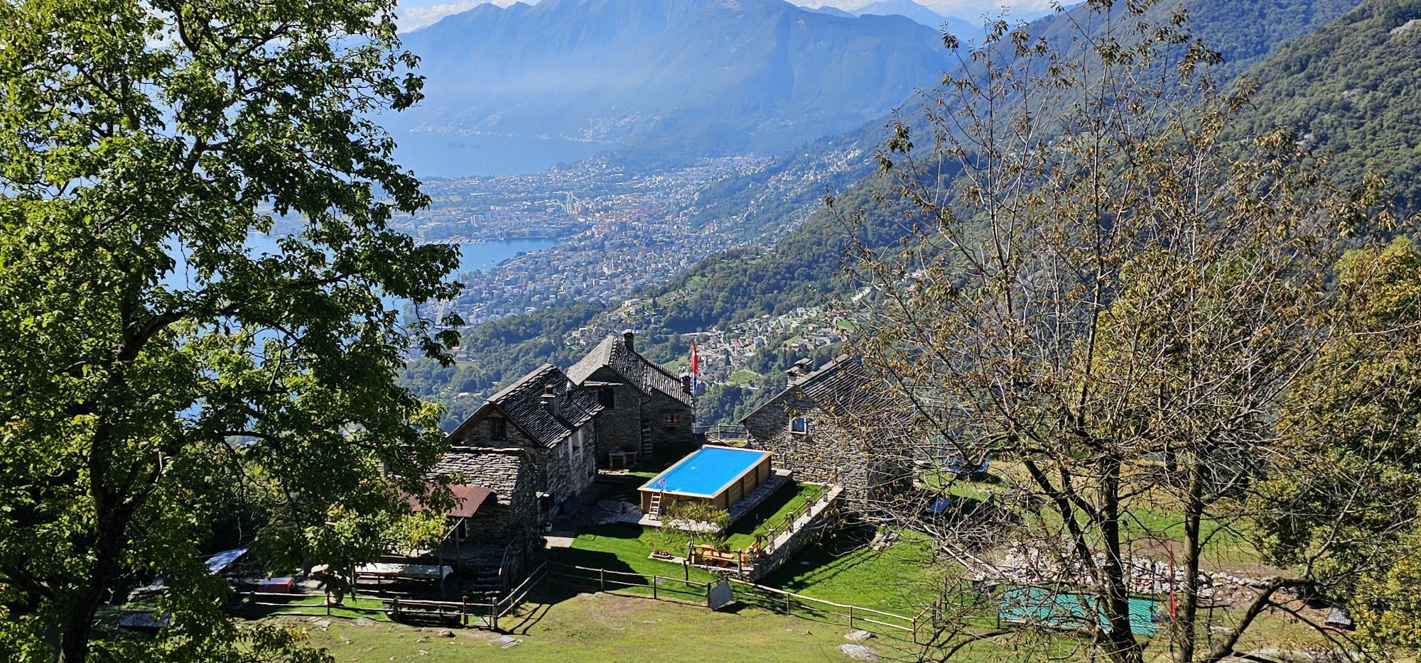
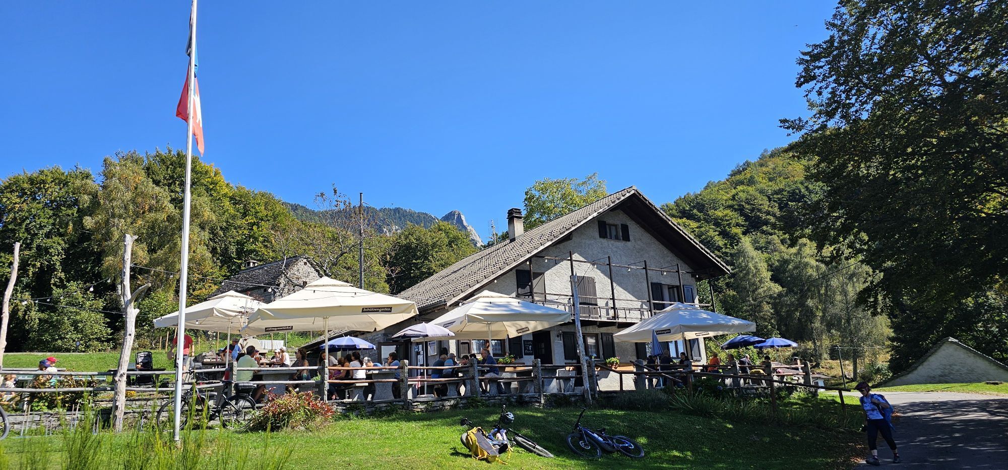
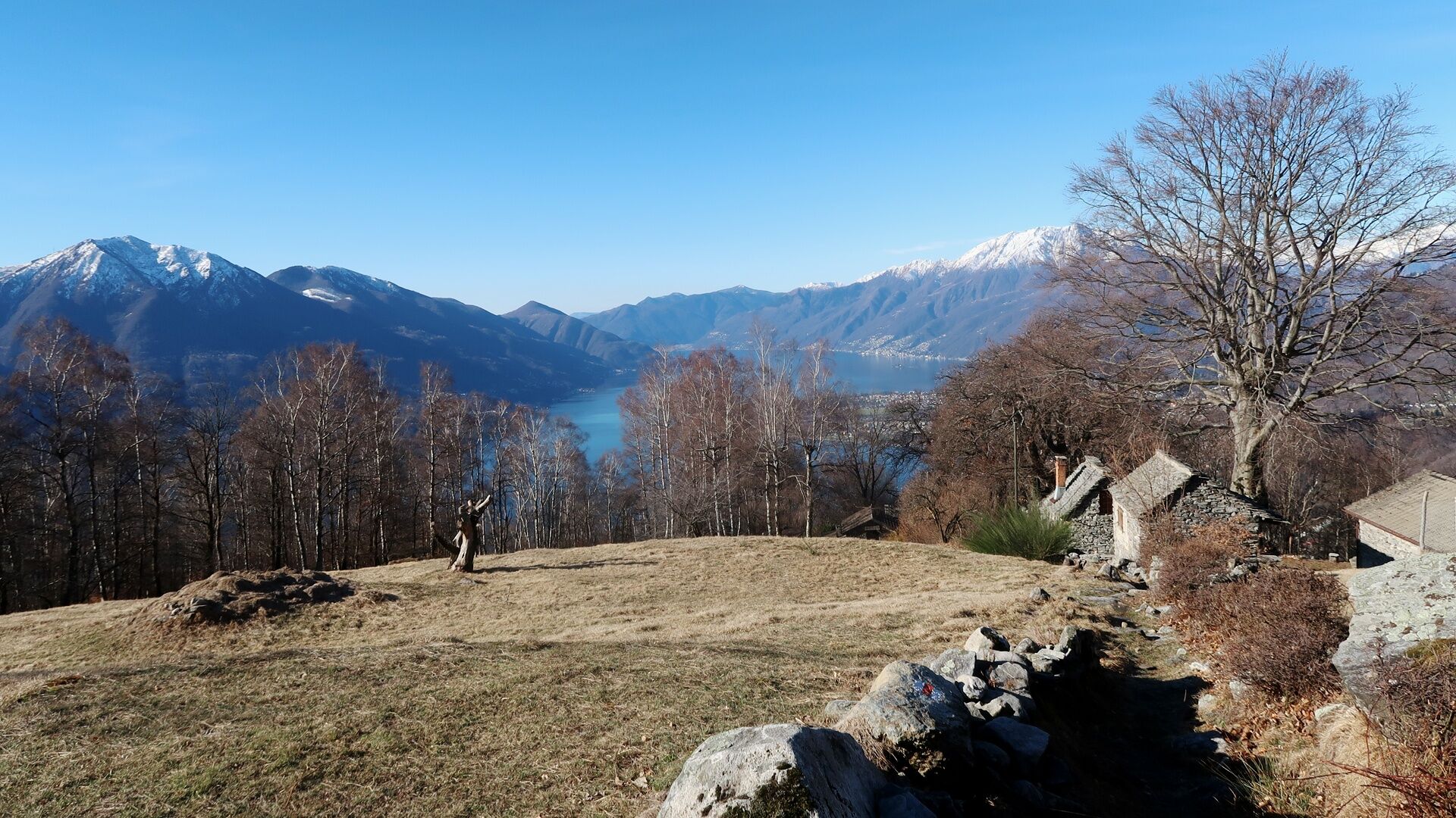
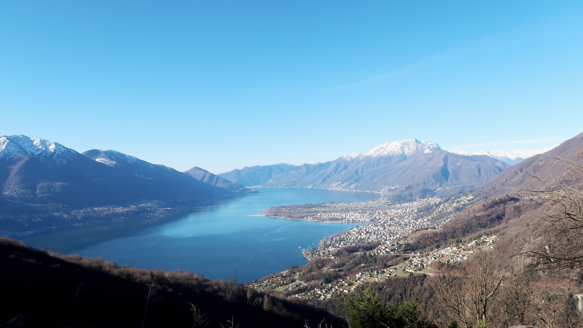
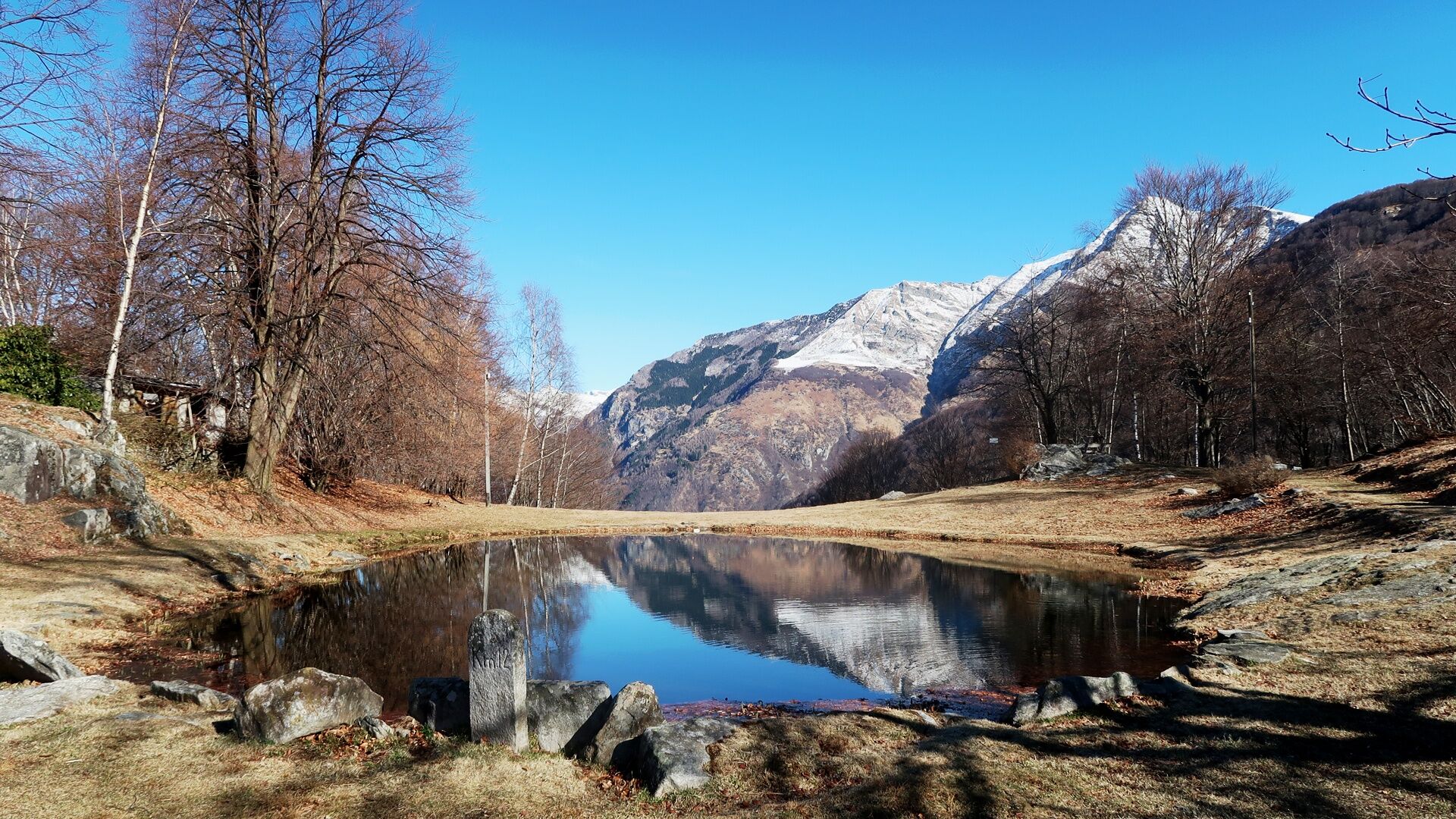
In less than an hour, you reach Miescio, where you can take the first break on the panoramic bench. After crossing the houses, you continue zigzagging up to the Monti di Metri; from here, a gravel road leads to the Monti di Motti. The effort to overcome the 600-meter elevation gain is rewarded by the view over Lake Maggiore, and those hungry and thirsty can refresh themselves at the inn. The top highlight is the alpine pond with the pedal boat.
The return route begins on a very comfortable path passing through Corte di Sopra and Lignasca, then descends steeply. Down at Fontöbbia, you descend to the valley either to the dam or by bus (Locarno-Tenero-Sonogno line) from Berzona.

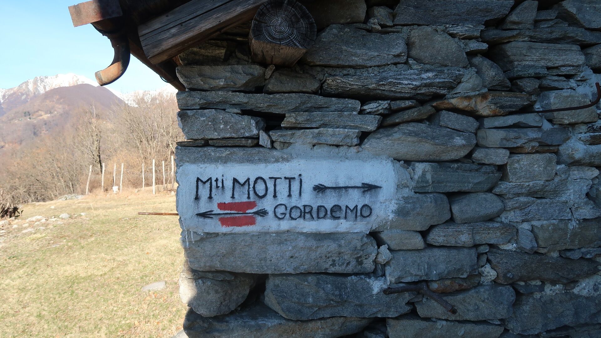
Verzasca Dam-Selvatica-Vertum-Monti di Metri-Monti di Motti-Chignöo-Corte di Sopra-Monda-Lignasca-Fontöbbia-Selvatica-Verzasca Dam
T3
Popularne wycieczki w okolicy
- 4,9
Verzasca Dam-Mergoscia-Corippo-Lavertezzo
średniWędrówka 13,0 km - 4,6
Tibetan Bridge route (SwitzerlandMobile 628)
średniWędrówka 9,02 km - 5,0
Valle del Salto round route (SvizzeraMobile 611)
średniWędrówka 8,84 km - 3,3
Entlang der Verzasca von Sonogno via Brione nach Lavertezzo
światłoWędrówka 14,5 km - 4,8
Avegno-Ponte Brolla-Avegno
średniWędrówka 8,56 km - 5,0
Lavertezzo-Brione Verzasca
światłoWędrówka 6,50 km - 4,5
Revöira Ethnographic Trail (SwitzerlandMobile 629)
średniWędrówka 7,97 km - 4,0
Cardada Bike (SwitzerlandMobility 397)
ciężkiMountainbike 30,6 km Cardada-Cimetta-Alpe Vegnasca-Cardada
średniWędrówka 6,86 km- 4,0
Vogorno-Alpe Bardughè-Vogorno
średniWędrówka 12,2 km
Wędrówki i tropienie


Nie przegap ofert i inspiracji na następne wakacje
Twój adres e-mail została dodana do listy mailingowej.