


Val Porta Forest Reserve: Vogorno-Capanna Borgna-Vogorno
Poziom trudności: T4
Zdjęcia naszych użytkowników
 © Fabio BallabeniUtworzono dnia 16.05.2026
 © Fabio BallabeniUtworzono dnia 16.05.2026
 © Philipp ReißUtworzono dnia 16.09.2025
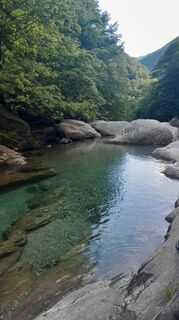
 © Sergio FontanaUtworzono dnia 29.05.2025
 © Sergio FontanaUtworzono dnia 29.05.2025
 © Sergio FontanaUtworzono dnia 29.05.2025
 © Sergio FontanaUtworzono dnia 29.05.2025
 © Sergio FontanaUtworzono dnia 29.05.2025
 © Sergio FontanaUtworzono dnia 29.05.2025
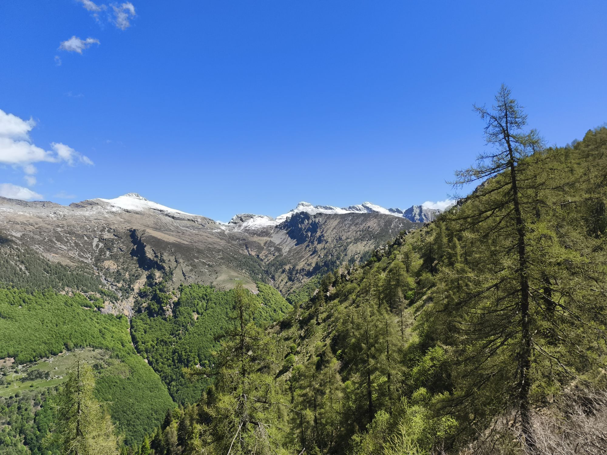
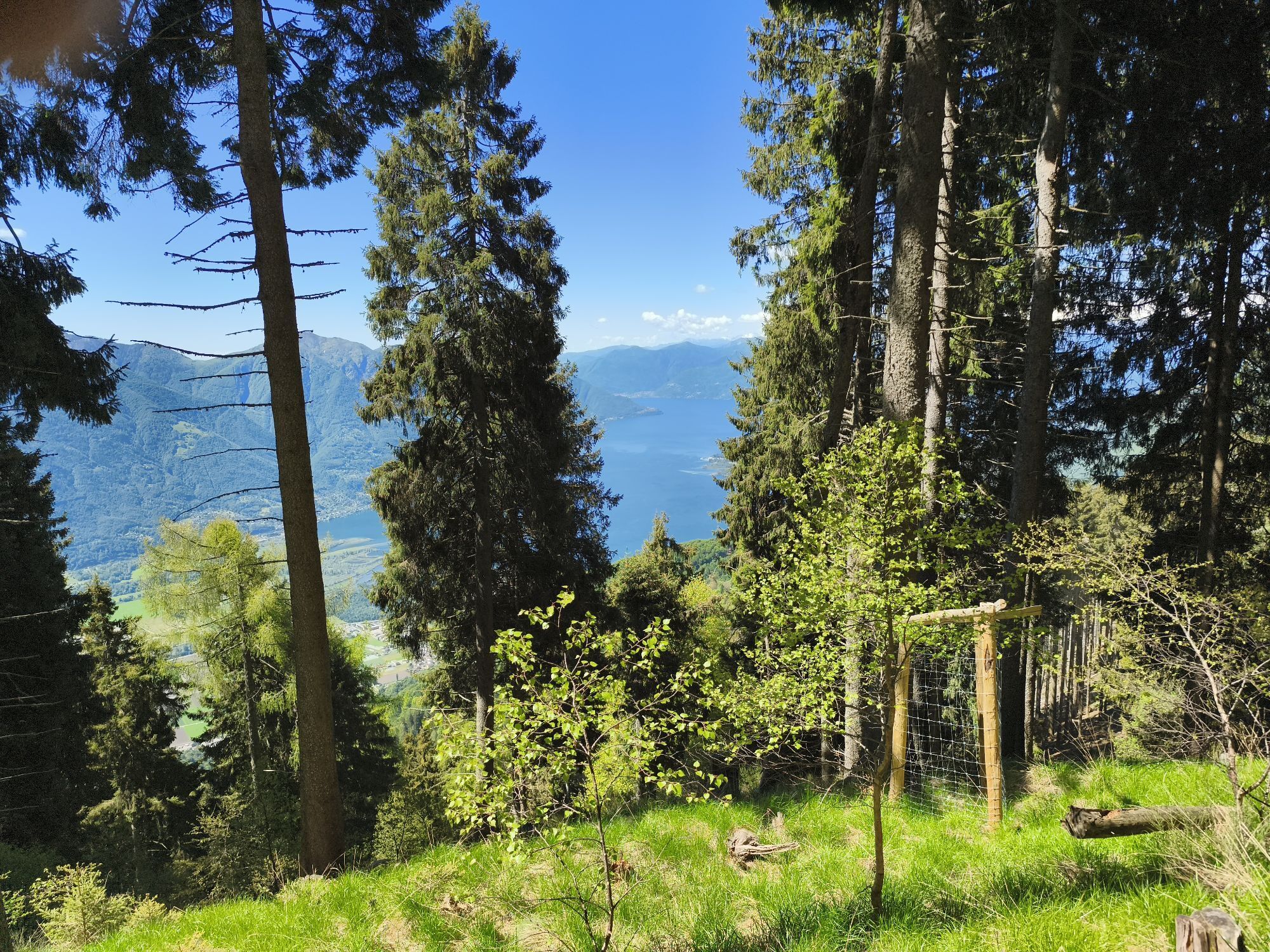

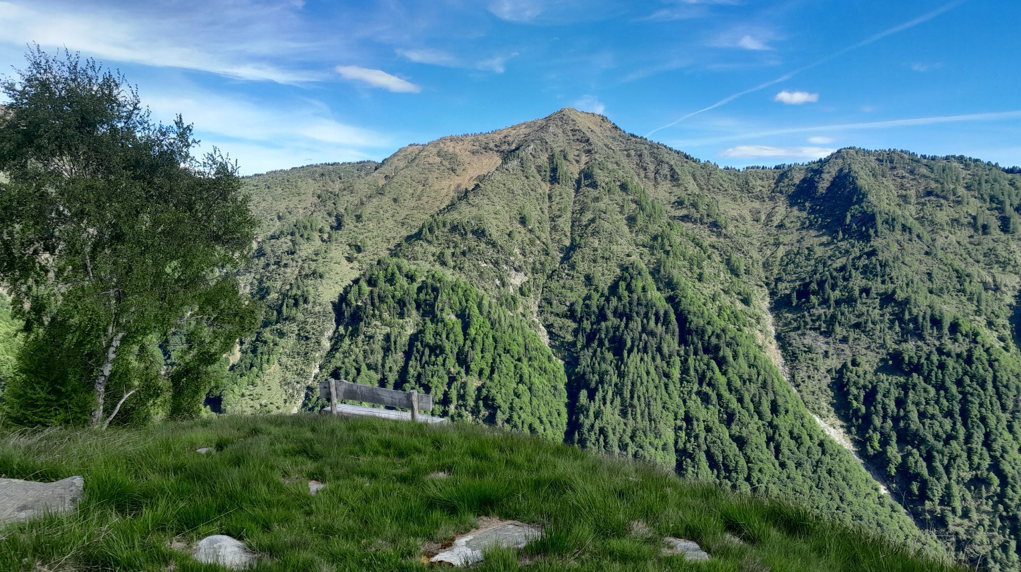

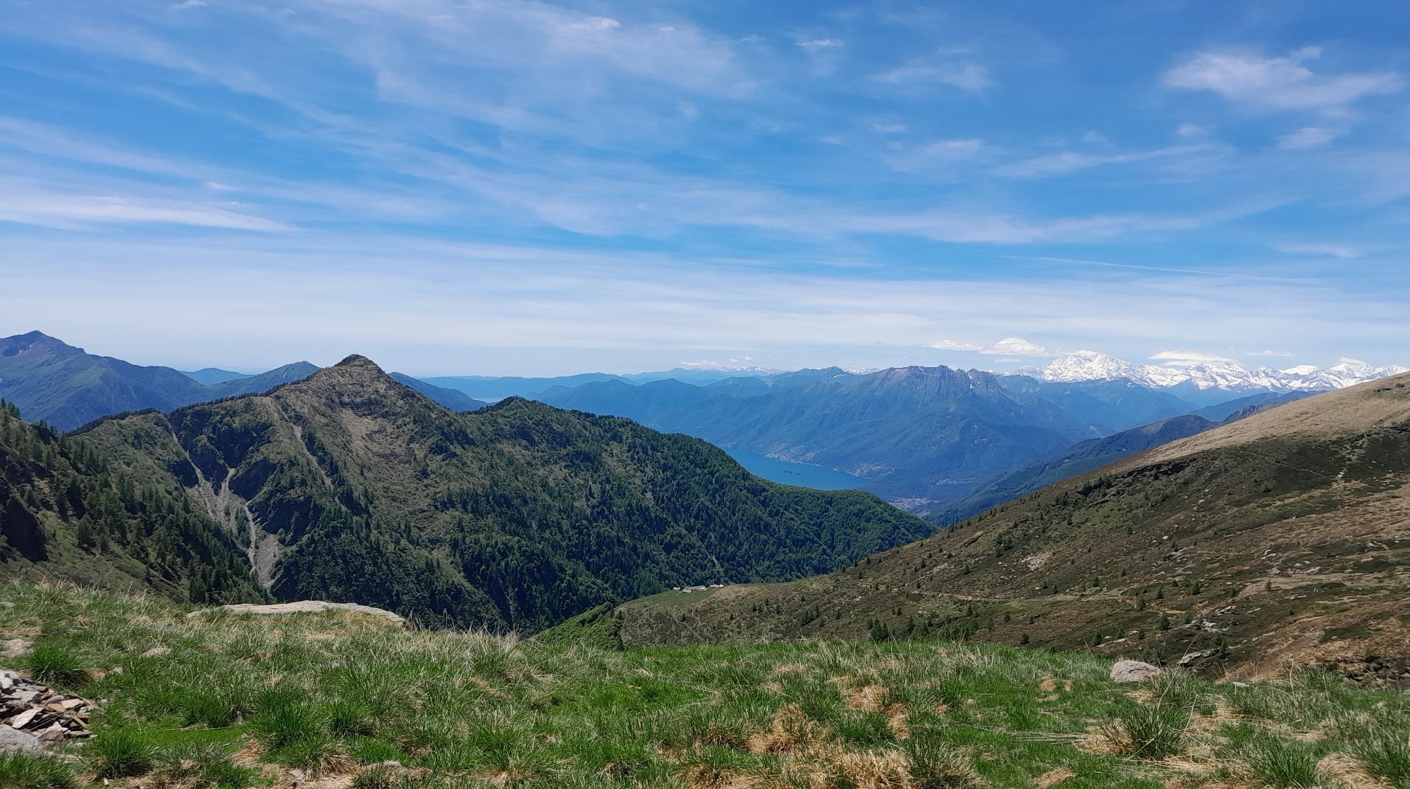

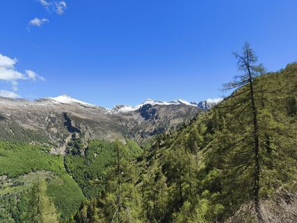
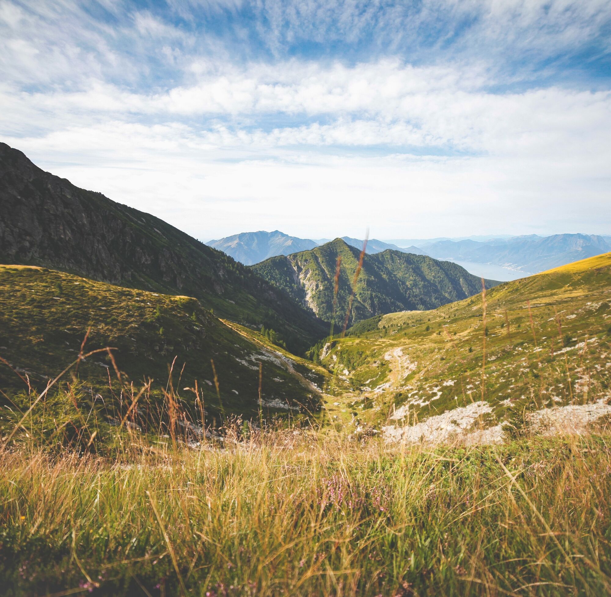
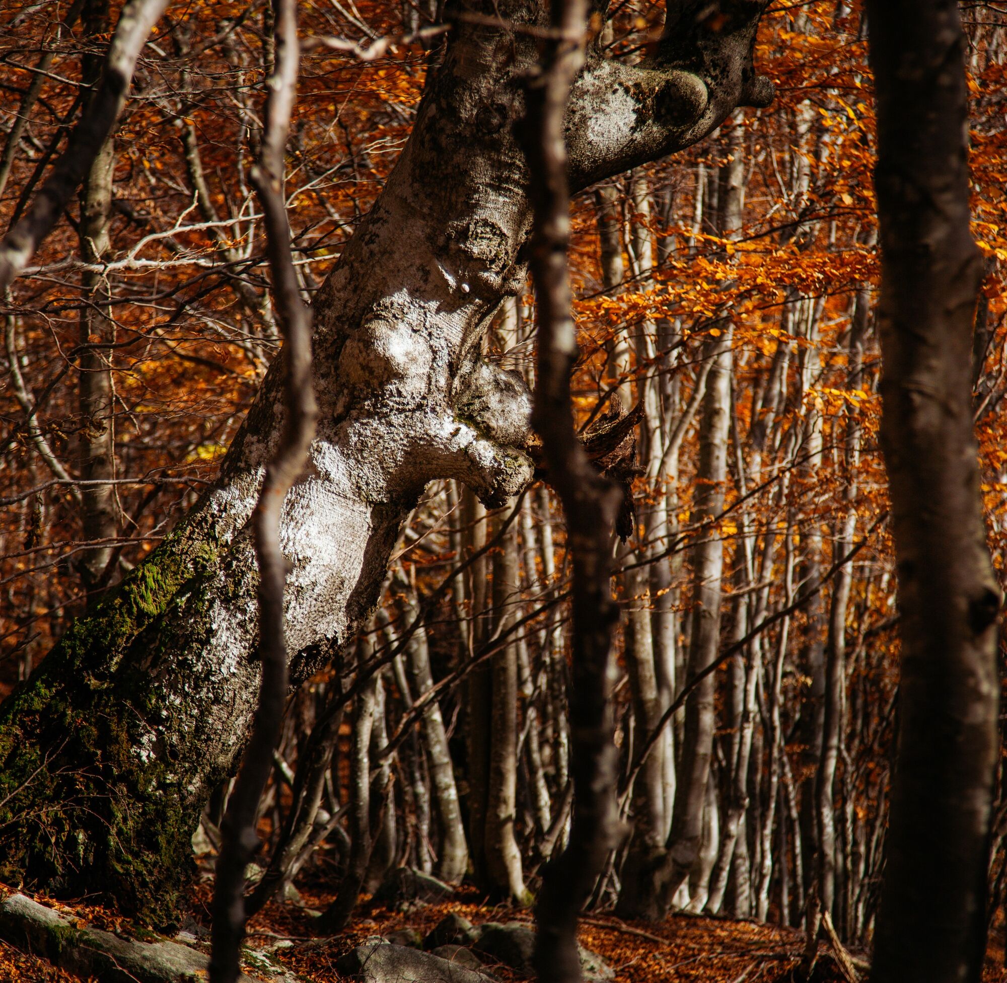
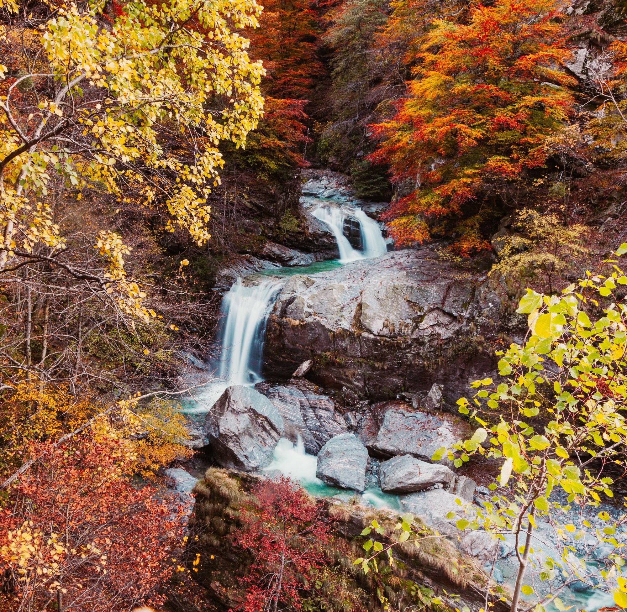
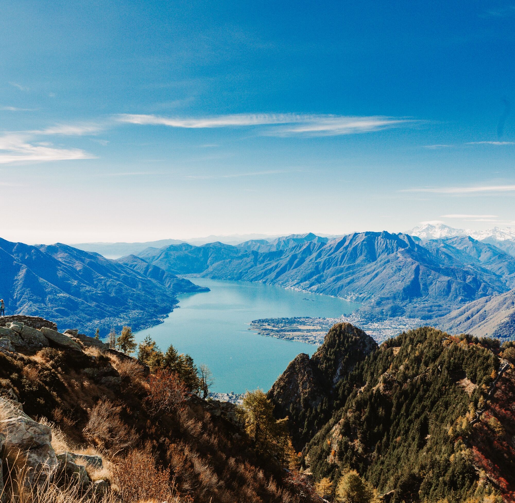
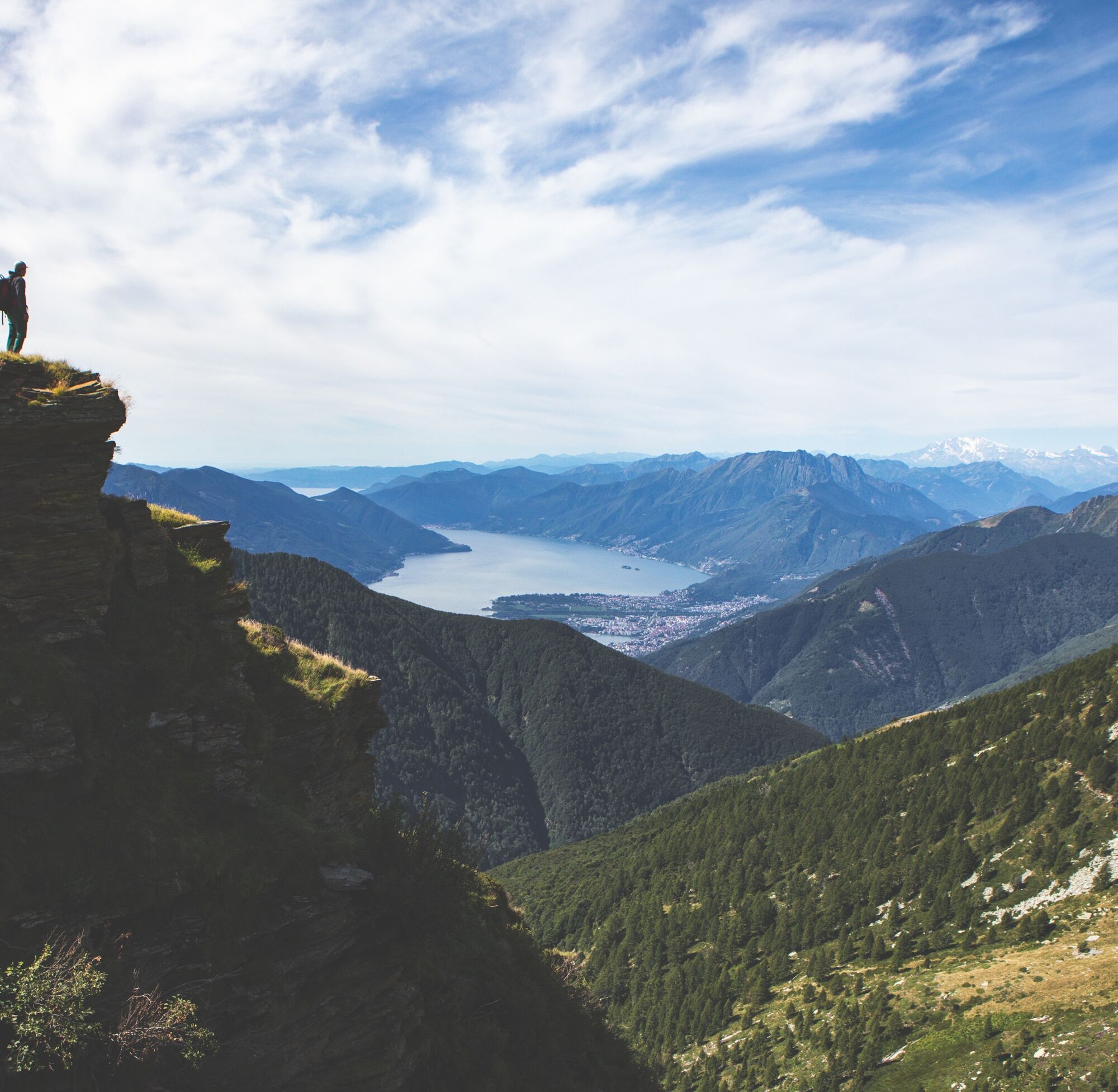
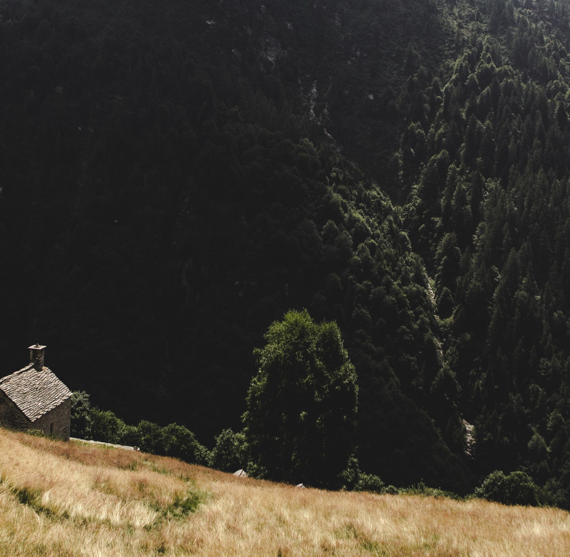
The Val Porta is nestled between the two peaks of Pizzo Vogorno (2442 m a.s.l.) and Cima di Sassello (1899 m a.s.l.). The forest reserve (641 ha) was founded in 2016 by the Vogorno community to preserve...
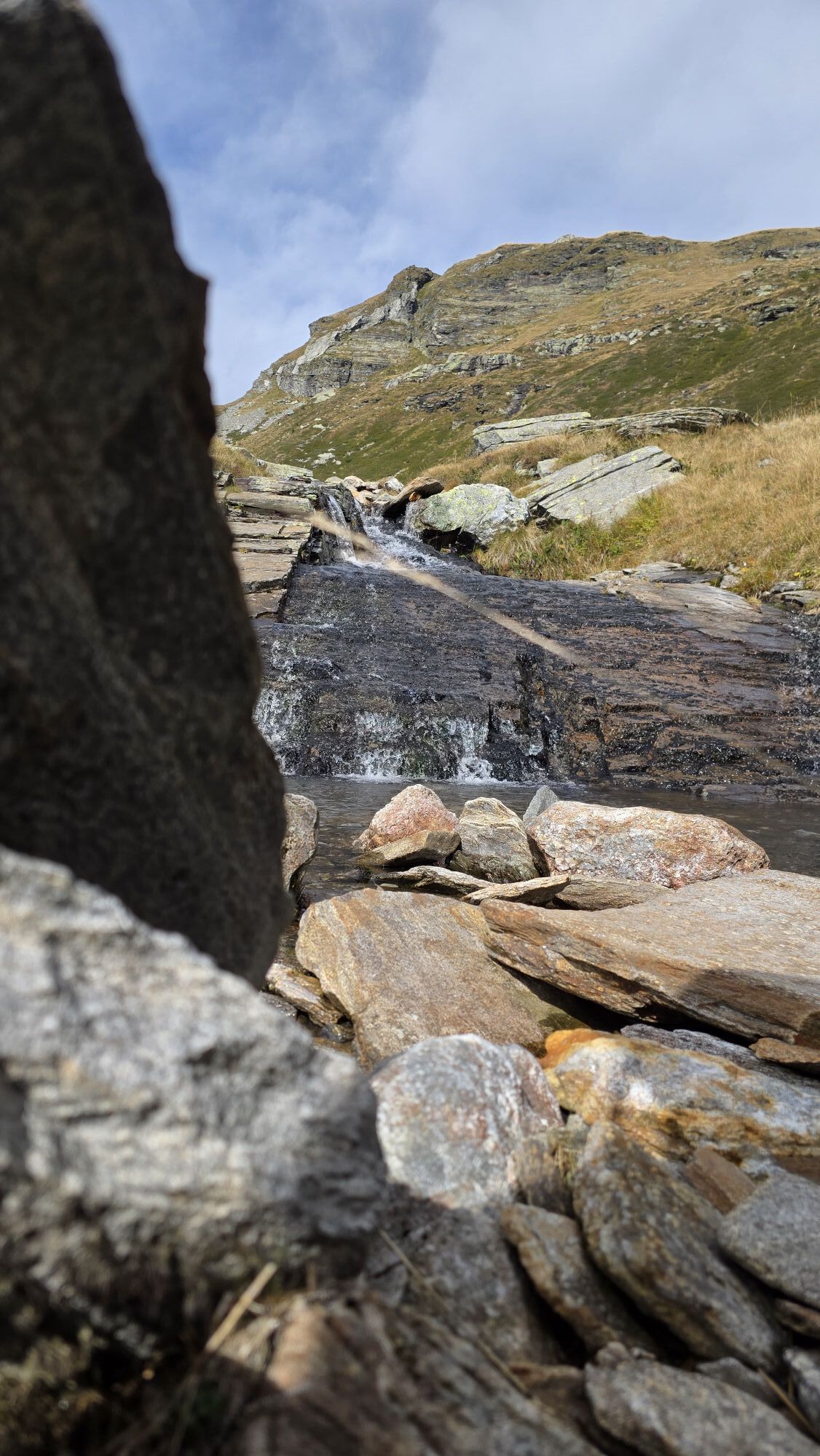
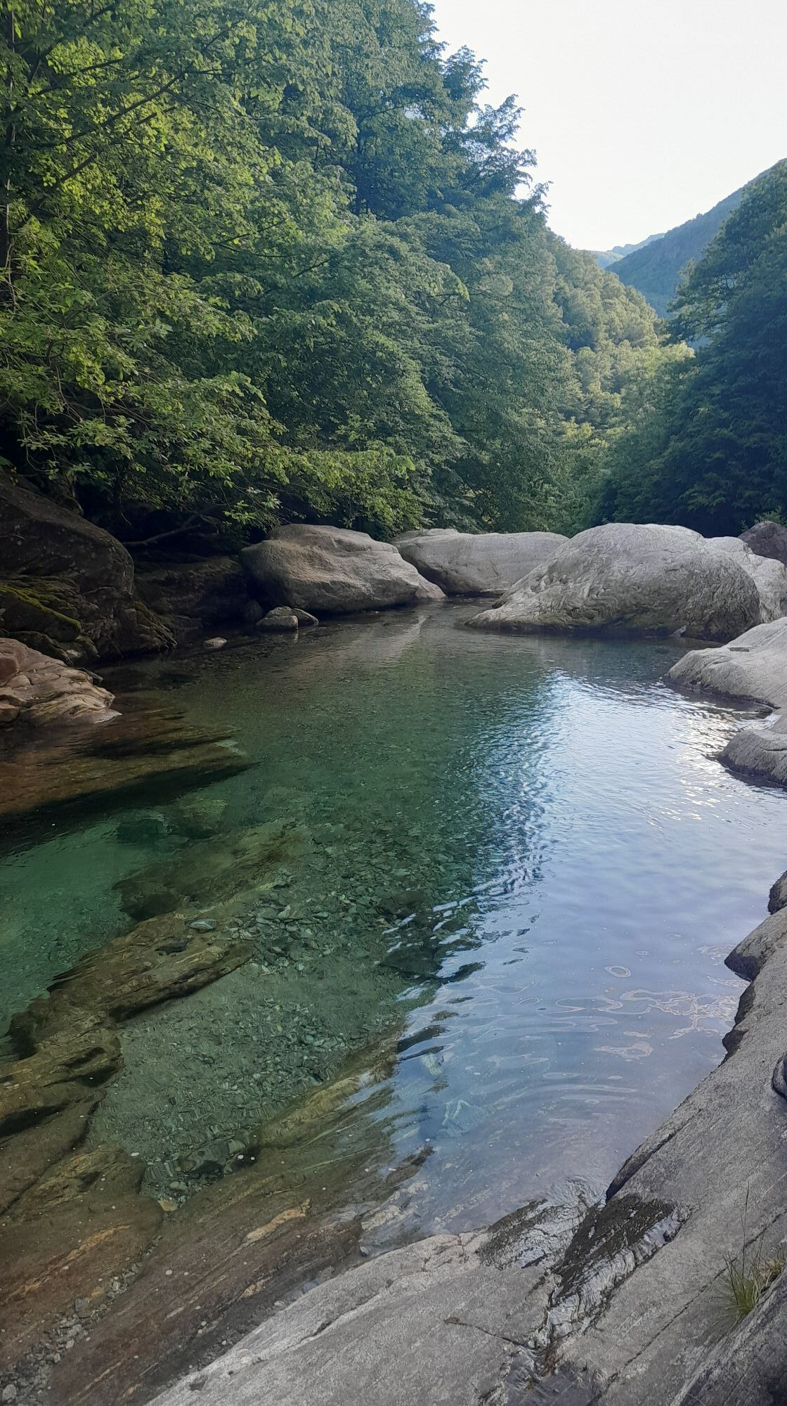
The Val Porta is nestled between the two peaks of Pizzo Vogorno (2442 m a.s.l.) and Cima di Sassello (1899 m a.s.l.). The forest reserve (641 ha) was founded in 2016 by the Vogorno community to preserve and promote the development of spontaneous fauna and flora and the conservation of genetic heritage (larch, silver fir, and beech). The best way to discover this fascinating world is a two-day route with an overnight stay at Capanna Borgna. The route starts at Vogorno and follows the white-red-white mountain trail, except for the alpine path along the Sassello wall, marked in white-blue-white. There are 25 features to admire during the hike, many of which are traces of human activity. A morphologically challenging terrain that has been used by our ancestors with great ingenuity. The steep left side of the valley is hard to access, while the sunny pastures are on the right. Get to know the Val Porta and let yourself be inspired by the diversity of its flora and fauna.
More information at www.valporta.ch

Vogorno-Alpe di Foppiana-Cima di Sassello-Forcola-Capanna Borgna-Pianca-Rienza-Colletta-Vogorno
Tak
Trekking backpack (approx. 50 liters) with rain cover
Sturdy and comfortable shoes, possibly spare shoes / sandals
Clothing suitable for weather conditions and durable, layering principle
Change of clothes
Trekking poles
Protection from sun and rain
Provisions and portable water
First aid kit
Knife
Mobile phone
Headlamp
Map material
Identity documents
Toiletry bag and travel towel
Hand washing detergent and clothesline rope, camping equipment (tent, sleeping pad, sleeping bag, cooking equipment), possibly cabin equipment
Swiss Trails - Safe hikes
From Locarno, take the A13 towards Bellinzona until Gordola. At Gordola, take the turn-off for the Verzasca Valley. Follow the road to Vogorno. There are parking spaces (very limited) in Vogorno.
From Tenero: take bus 321 towards Sonogno. Get off at Vogorno Sant'Antonio stop.
From Vogorno: take bus 321 towards Tenero, Brere. Get off at Tenero station.
T4
Kamery internetowe z trasy
Popularne wycieczki w okolicy
- 4,6
Tibetan Bridge route (SwitzerlandMobile 628)
średniWędrówka 9,02 km - 4,8
Verzasca Dam-Mergoscia-Corippo-Lavertezzo
średniWędrówka 13,0 km - 3,3
Entlang der Verzasca von Sonogno via Brione nach Lavertezzo
światłoWędrówka 14,5 km - 4,8
Avegno-Ponte Brolla-Avegno
średniWędrówka 8,56 km - 5,0
Lavertezzo-Brione Verzasca
światłoWędrówka 6,50 km - 5,0
Valle del Salto round route (SvizzeraMobile 611)
średniWędrówka 8,84 km - 4,3
Revöira Ethnographic Trail (SwitzerlandMobile 629)
średniWędrówka 7,97 km - 4,0
Cardada Bike (SwitzerlandMobility 397)
ciężkiMountainbike 30,6 km - 5,0
Verzasca Dam-Monti di Motti-Verzasca Dam
średniWędrówka 9,31 km Cardada-Cimetta-Alpe Vegnasca-Cardada
średniWędrówka 6,86 km
Wędrówki i tropienie


Nie przegap ofert i inspiracji na następne wakacje
Twój adres e-mail została dodana do listy mailingowej.