


Water mill route
Poziom trudności: 2
The route starts at the Fishermen's Monument/Seebrückenvorplatz in Kellenhusen and leads to the only still functioning water mill in Schleswig-Holstein.
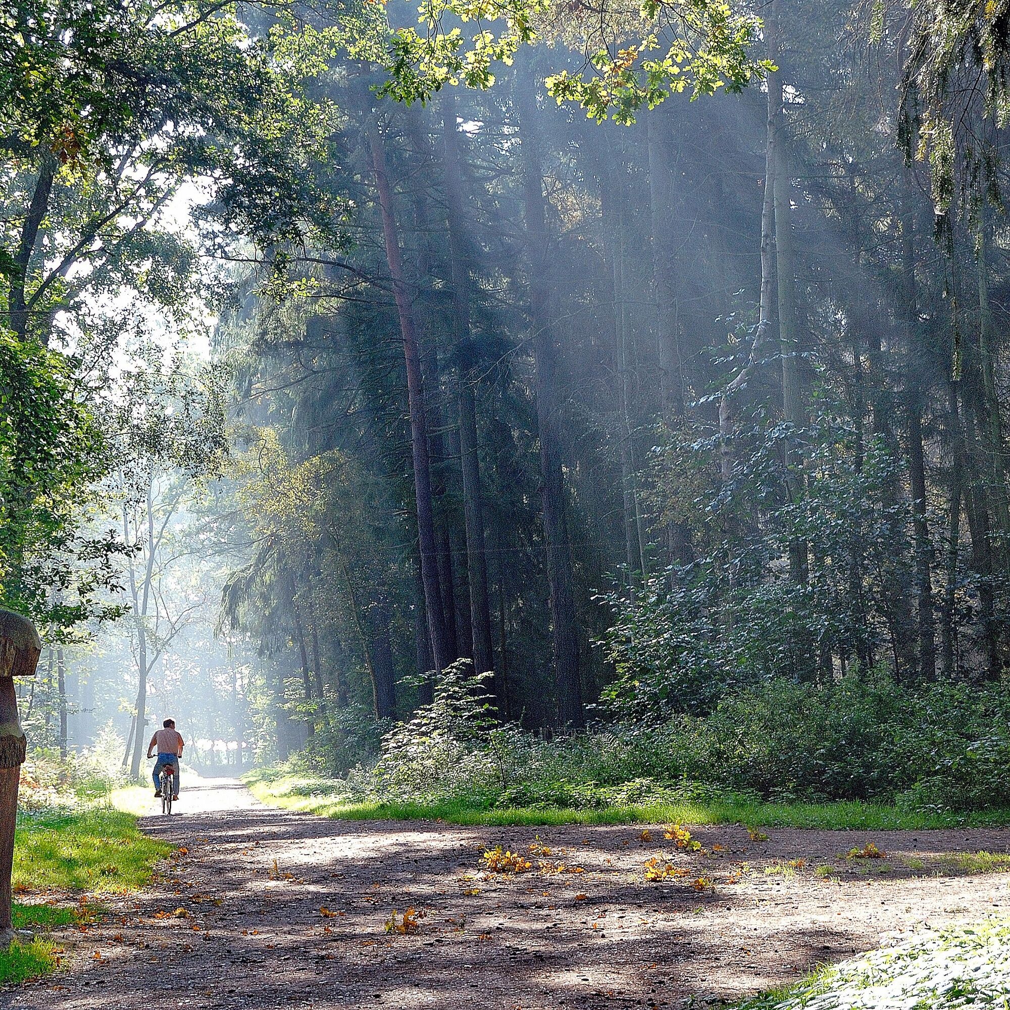
A very varied route that leads through the over...
The route starts at the Fishermen's Monument/Seebrückenvorplatz in Kellenhusen and leads to the only still functioning water mill in Schleswig-Holstein.
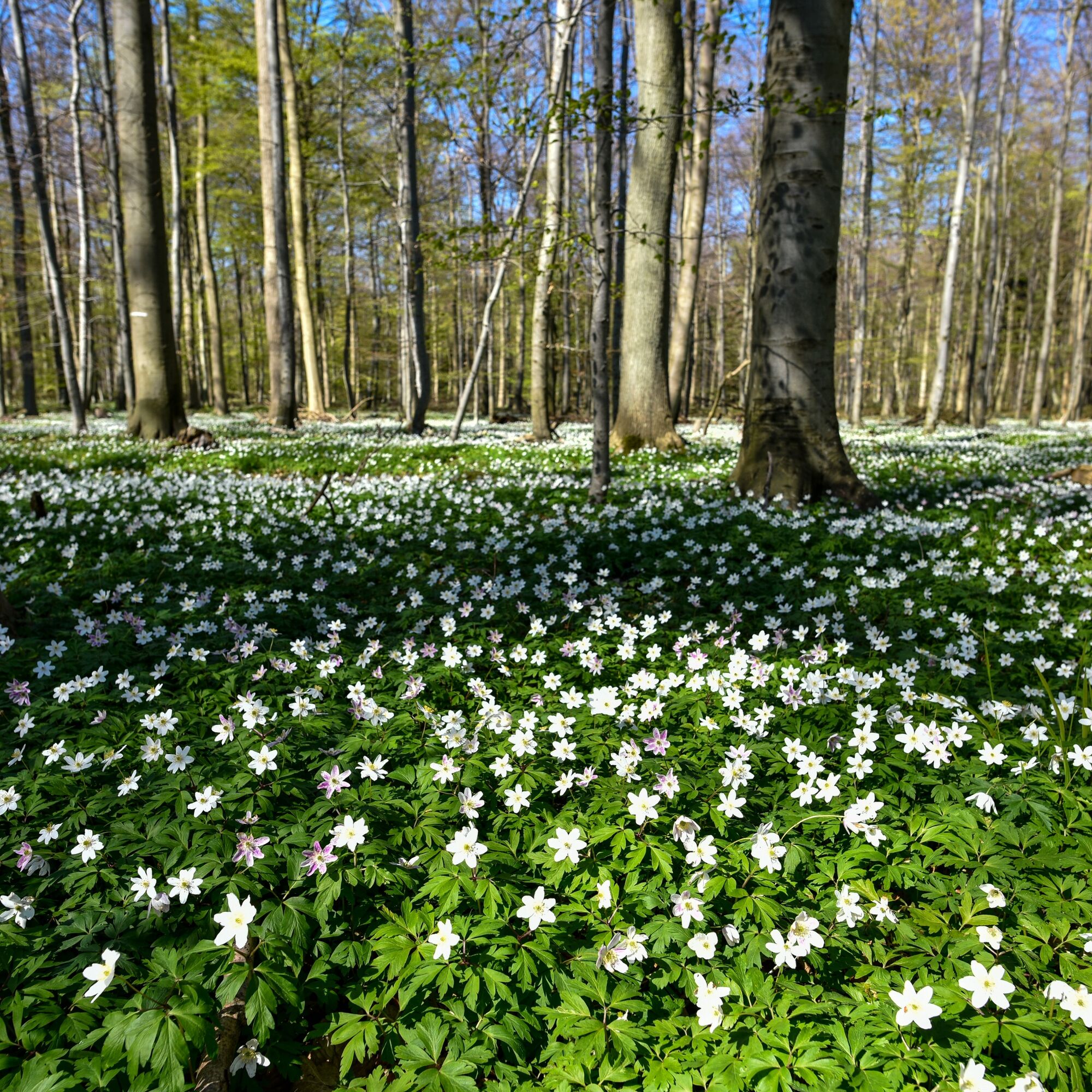
A very varied route that leads through the over 600 ha large Kellenhusen forest with its thousand-year-old oaks and along the way through many enchanted villages of Ostholstein. Away from busy roads, you can enjoy the natural idyll of the region and discover new views again and again. Arrived at the mill, you can take a well-deserved break to take a closer look at the water mill before returning on a slightly altered path back to the Baltic seaside resort of Kellenhusen.

The route starts in Kellenhusen and leads from there through the beautiful recreation forest through Gruberhagen to Guttau. On the way to the water mill, you pass through many places in Ostholstein: Morest, Poggenpohl, Cismarfelde, Kattenberg, Goldberg.
Along the way, a break at the farm café "Hof Hagen" is worthwhile. Here you can take a break with cake or hearty snacks and recharge your batteries for the onward journey.
On the return journey from the water mill, it goes through Schlamin, Bentfeld, Suxdorf, and then through the monastery lowlands as well as through Lenste over the dyke back to Kellenhusen.
A bottle of water for the way and weatherproof clothing as well as sun protection are advisable.
Almost only unpaved paths are ridden. A helmet is recommended!
Kellenhusen is accessible via the BAB1 Lübeck-Puttgarden . It is about 40 minutes by car from Lübeck, 70 minutes from Kiel, and 70 minutes from Hamburg.
Arrival by train:
Through the holiday destination train stations Neustadt in Holstein and Oldenburg in Holstein, Kellenhusen is quickly and comfortably accessible. The buses then bring guests right into the town.
There are many paid parking spaces available on the promenade.
2
Further information is available at the tourist information office of Kellenhusen as well as online at www.ostseeferienland.de & at www.wassermuehle-hasselburg.de.tl.
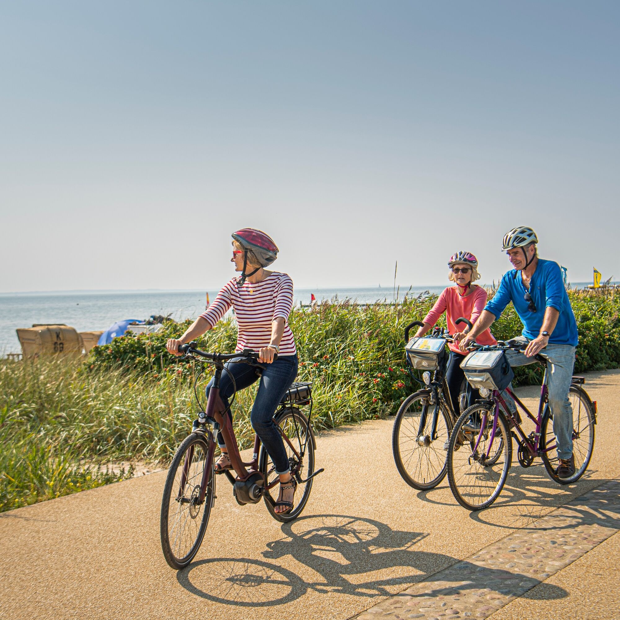
At a café on the beach promenade of Kellenhusen with wide views over the Baltic Sea, you can end the route.
Popularne wycieczki w okolicy
-
5,0
Megamarsch Ostsee 2024
średniWędrówka 51,0 km -
His Tour in the OstseeFerienLand
światłoJazda na rowerze 43,5 km -
Hofcafé-Tour
średniJazda na rowerze 79,1 km -
Cismar route
ciężkiWędrówka 14,8 km -
Cultural route in the Baltic Sea Holiday Land
średniJazda na rowerze 58,4 km -
Forest and Culinary Route
średniJazda na rowerze 21,6 km -
Route around Gut Görtz with a view of the Baltic Sea
średniJazda na rowerze 55,5 km -
E-Bike-Tour nach Heiligenhafen
średniJazda na rowerze 45,5 km -
Klostersee route
ciężkiWędrówka 9,30 km -
Large mill pond route
światłoWędrówka 3,28 km
Wędrówki i tropienie


Nie przegap ofert i inspiracji na następne wakacje
Twój adres e-mail została dodana do listy mailingowej.