


Cismar route
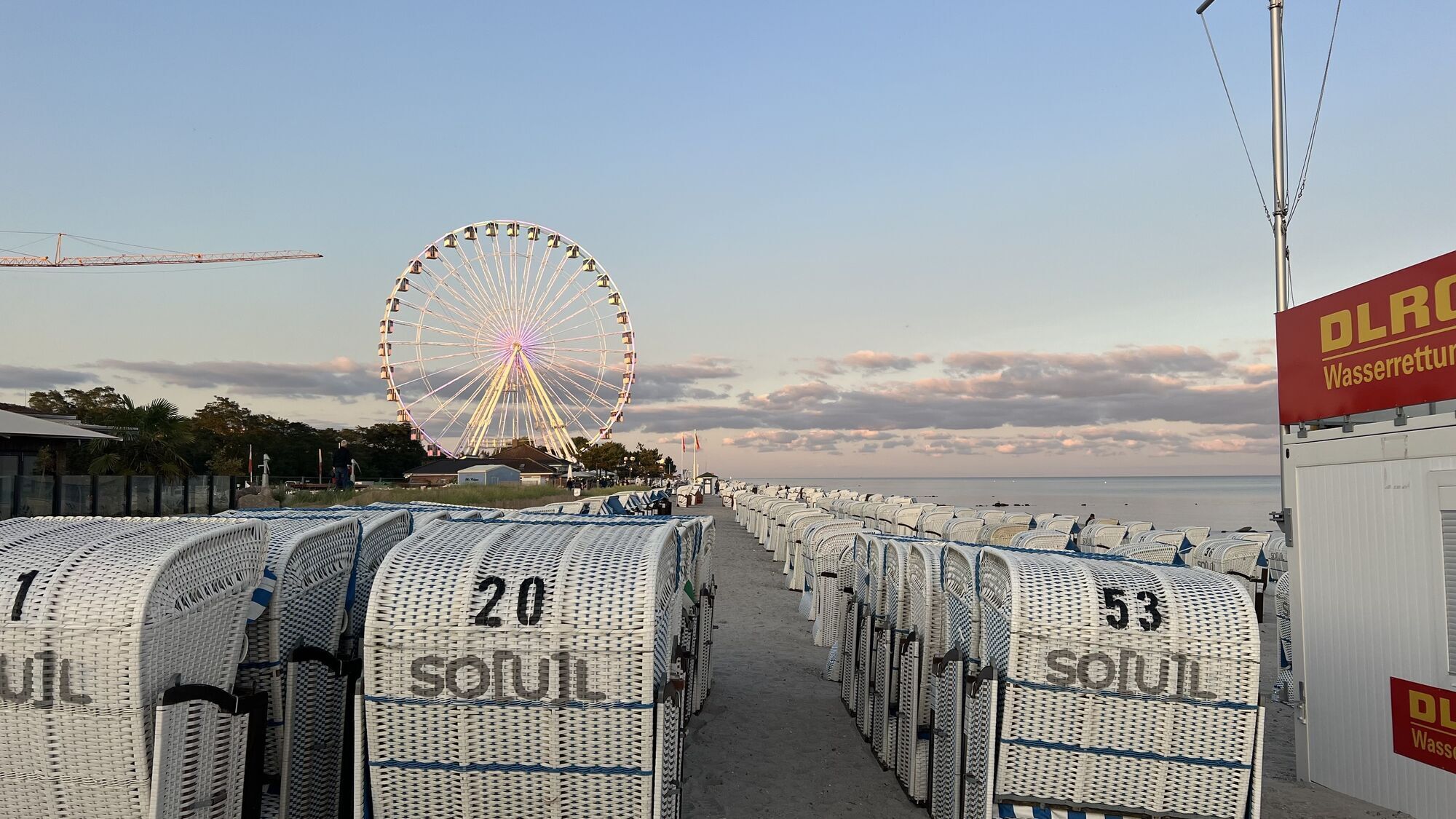
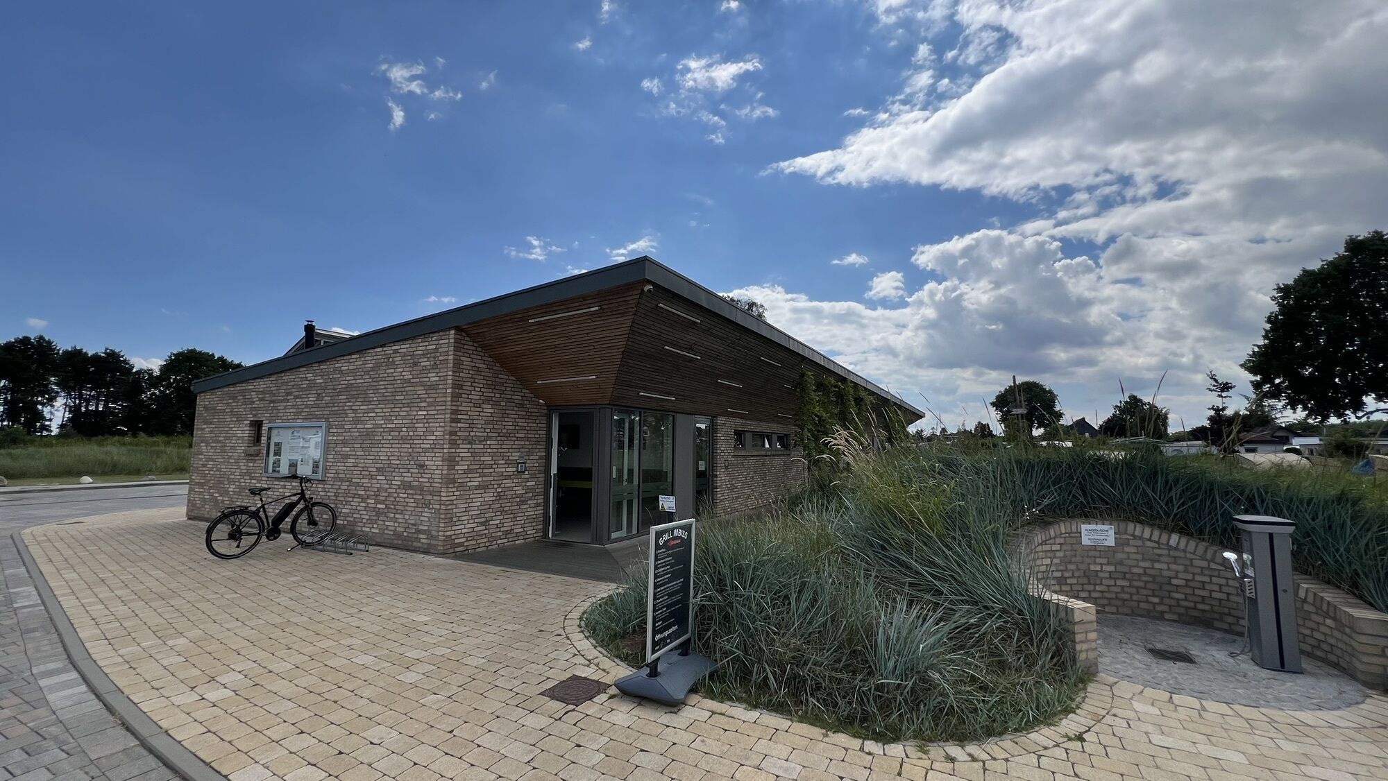
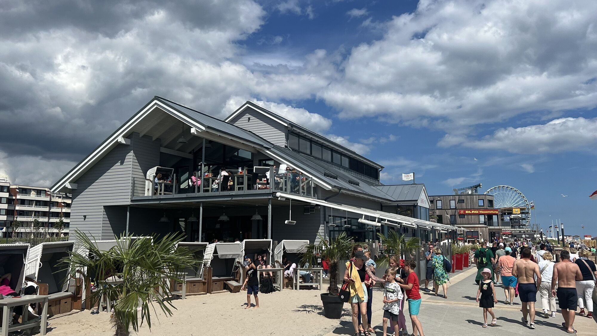
This hike begins on the lively promenade in Grömitz and leads along the dyke towards Lensterstrand. From here, there are always wonderful views of the Baltic Sea and the hinterland. The trail describes...
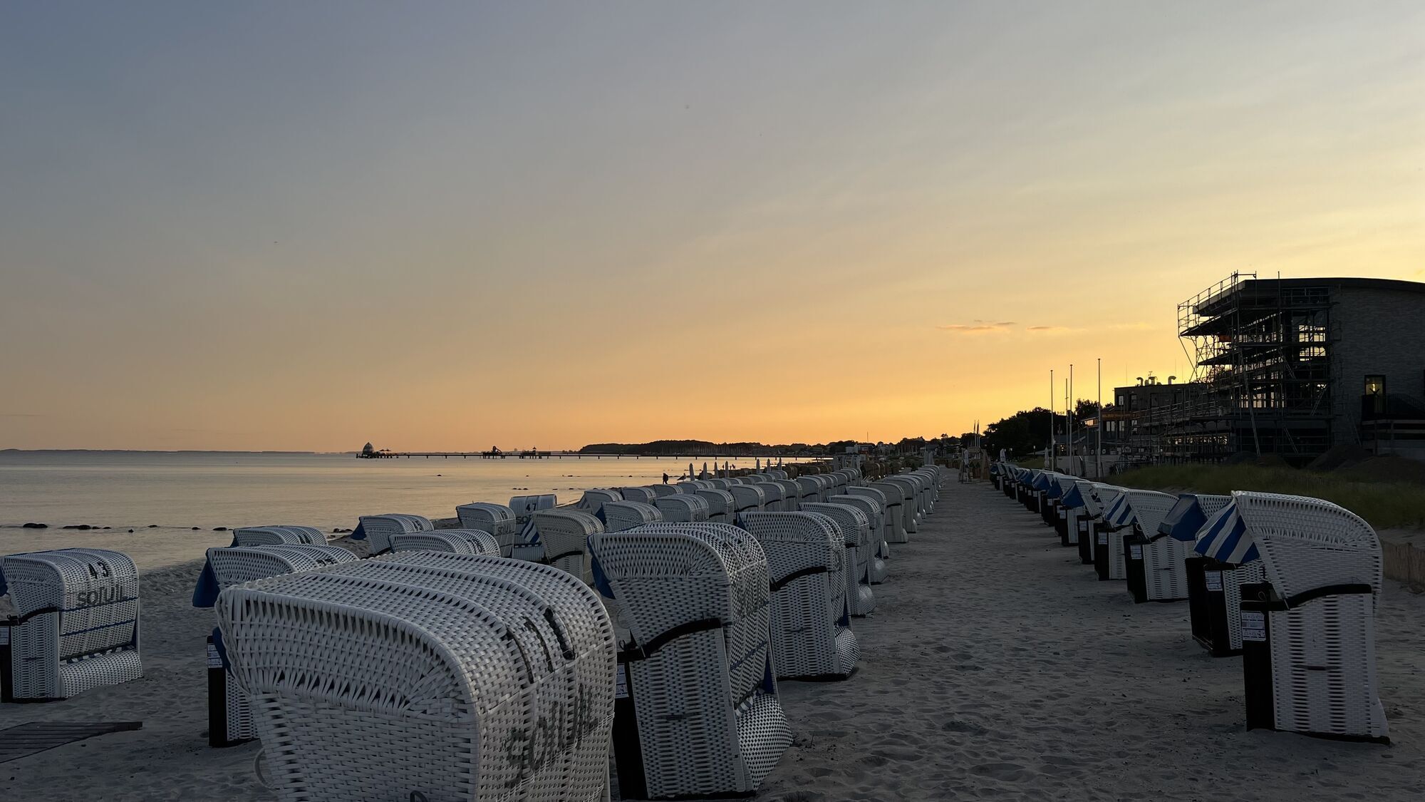
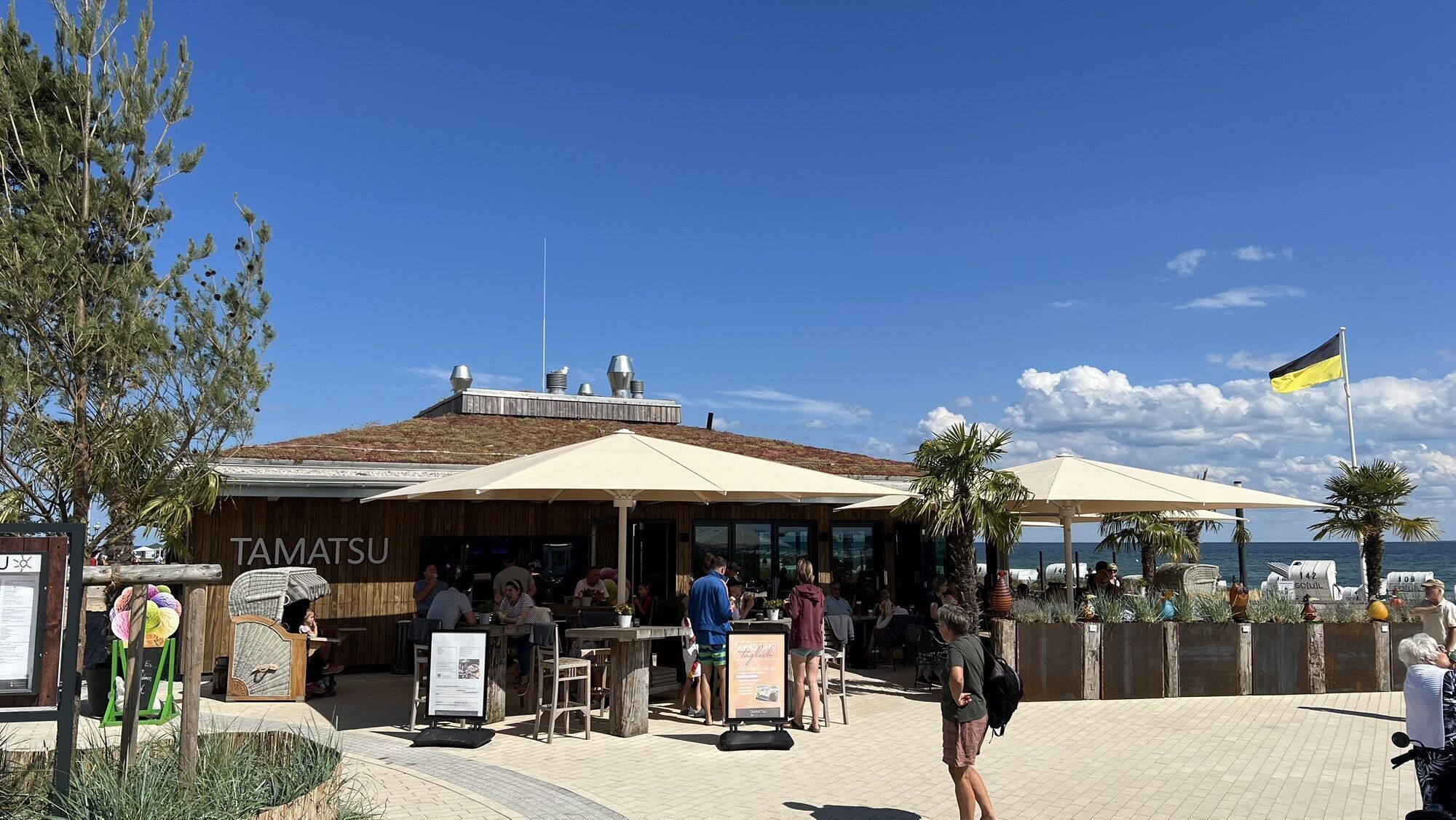
The way back leads through the typical Holstein Knick landscape back to Lenste and past wide meadows and fields. Finally, the route reaches Lensterstrand again, which offers the perfect ending with dunes, a natural beach and various places to stop for refreshments.

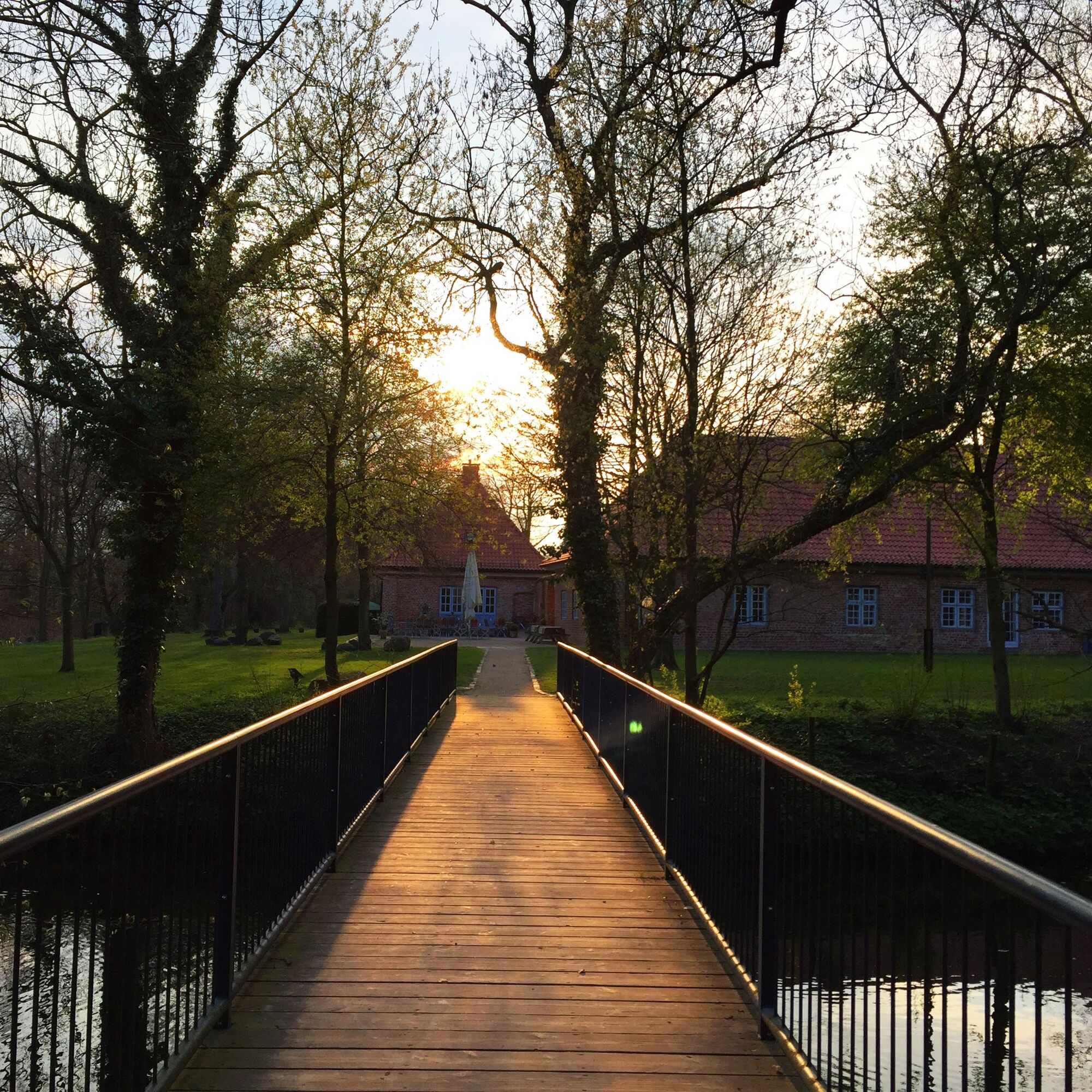
We start in Grömitz, walk along the dyke towards Lensterstrand and then follow the canal landscape inland. After a break at Cismar Monastery, we walk through fields and via Lenste back to the starting point at Lensterstrand.
Clothing suitable for the weather, sturdy and comfortable shoes
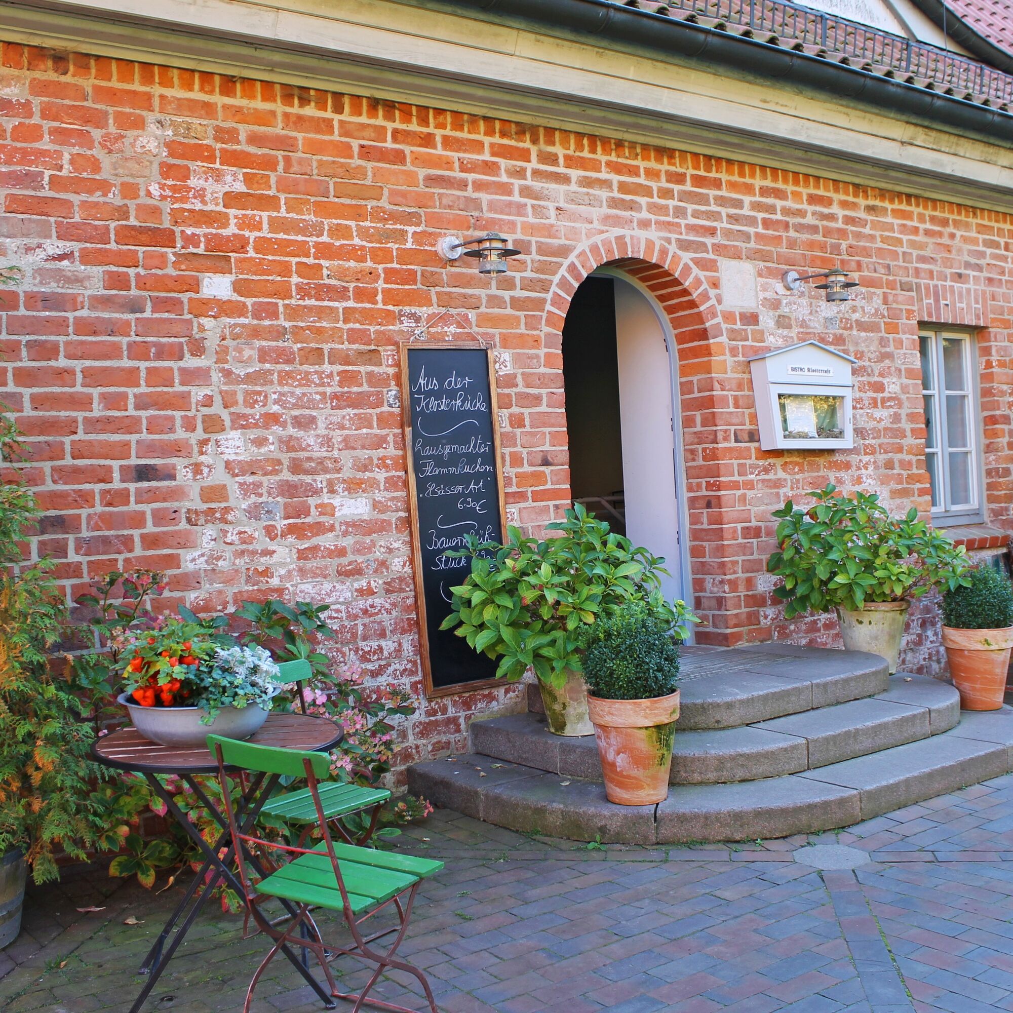
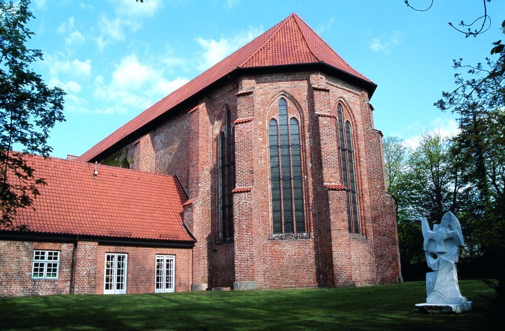
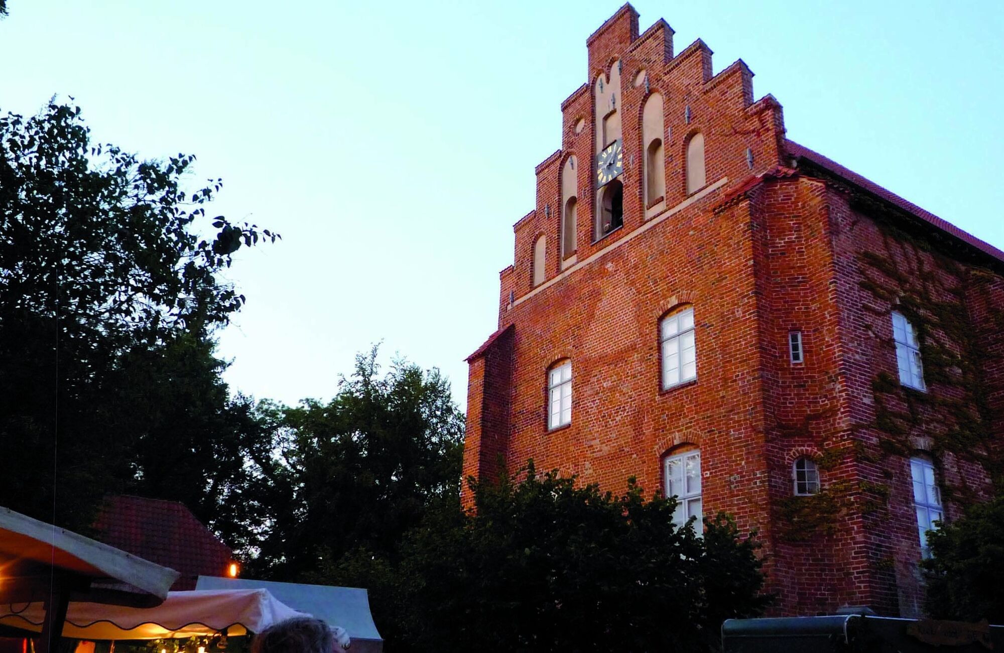
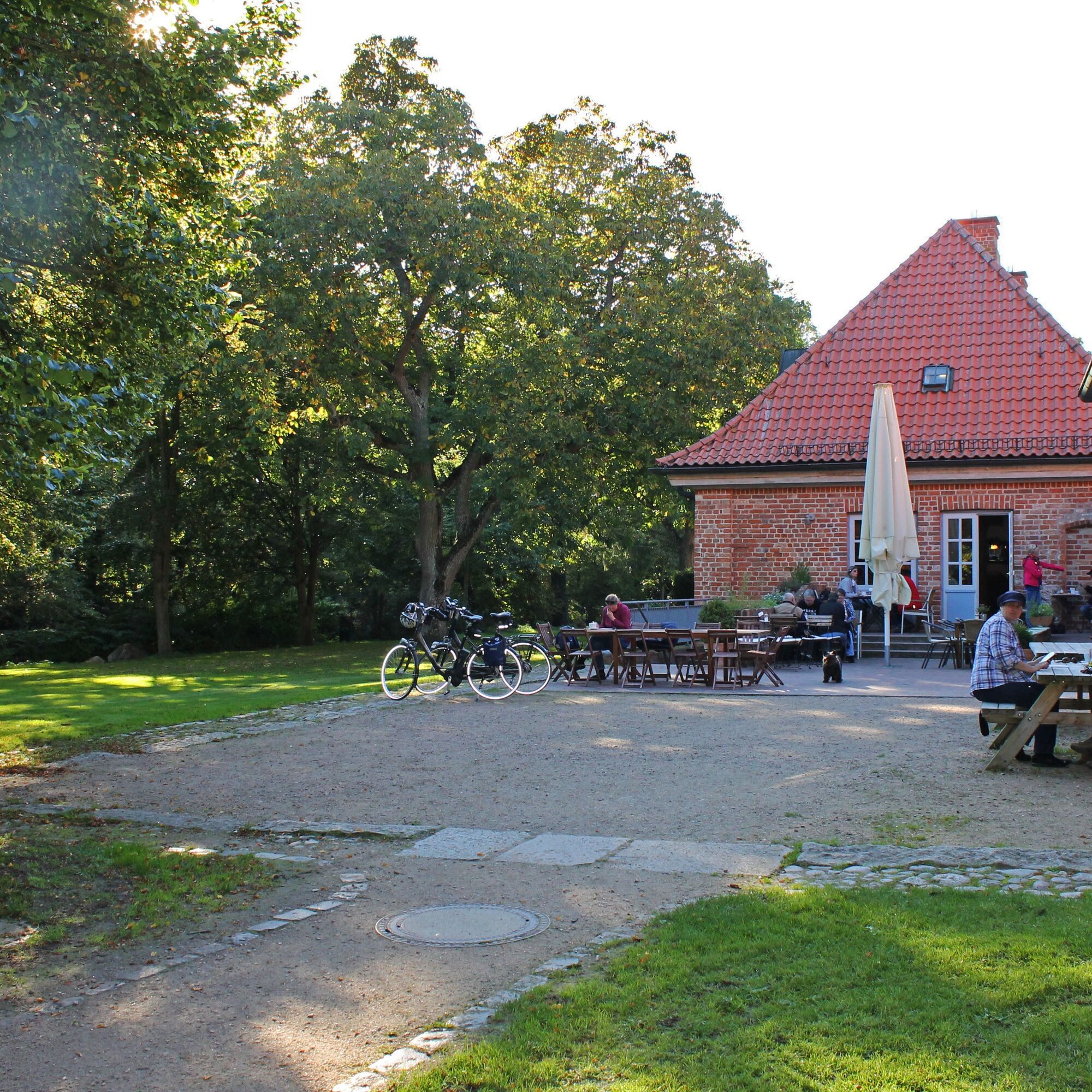
A detour to the Gothic monastery church in Cismar and a visit to the monastery café are highly recommended.
Popularne wycieczki w okolicy
-
5,0
Megamarsch Ostsee 2024
średniWędrówka 51,0 km -
His Tour in the OstseeFerienLand
światłoJazda na rowerze 43,5 km -
Hofcafé-Tour
średniJazda na rowerze 79,1 km -
Cultural route in the Baltic Sea Holiday Land
średniJazda na rowerze 58,4 km -
Forest and Culinary Route
średniJazda na rowerze 21,6 km -
Route around Gut Görtz with a view of the Baltic Sea
średniJazda na rowerze 55,5 km -
Klostersee route
ciężkiWędrówka 9,30 km -
Large mill pond route
światłoWędrówka 3,28 km -
Lighthouse-Forest-Route
średniWędrówka 7,67 km -
Lighthouse route
średniBieganie 9,06 km
Wędrówki i tropienie


Nie przegap ofert i inspiracji na następne wakacje
Twój adres e-mail została dodana do listy mailingowej.