







Klostersee route
This long hiking route starts at the edge of Kellenhusen and leads past green areas with a wide view back over the Baltic Sea resort. The trail runs along the Klostersee-Niederung, a wetland area with...
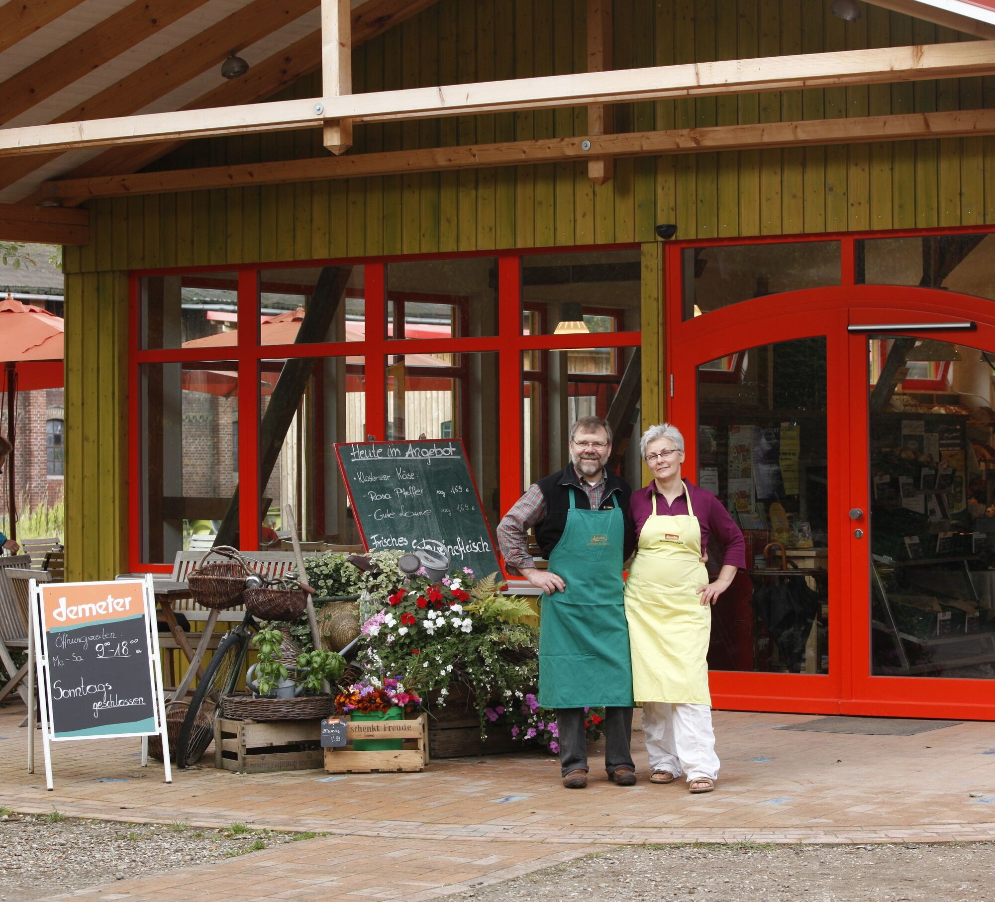
The heart of the tour is the Klostersee farm: a Demeter farm run according to biodynamic principles with its own cheese dairy, a small bakery and a farm store, which is a popular destination for hikers and cyclists in summer. Depending on the season, offers such as the farm café, farm-gate sales and occasional events invite you to linger. Information boards also provide an insight into organic farming and the importance of the Klostersee lowlands as a habitat for flora and fauna. The trail then leads into the Guttau forest area, which provides variety with quiet passages and shady paths, before returning to the starting point in Kellenhusen.
Thanks to well-developed paths, parts of the route can be combined with other hiking routes around Kellenhusen.

Tak
Clothing suitable for the weather, sturdy and comfortable shoes
Plan a visit to the farm store on Klostersee - regional products can be tasted and purchased directly on site.
Popularne wycieczki w okolicy
-
5,0
Megamarsch Ostsee 2024
średniWędrówka 51,0 km -
5,0
His Tour in the OstseeFerienLand
światłoJazda na rowerze 43,5 km -
Hofcafé-Tour
średniJazda na rowerze 79,1 km -
Cismar route
ciężkiWędrówka 14,8 km -
Cultural route in the Baltic Sea Holiday Land
średniJazda na rowerze 58,4 km -
Forest and Culinary Route
średniJazda na rowerze 21,6 km -
E-Bike-Tour nach Heiligenhafen
średniJazda na rowerze 45,5 km -
Route around Gut Görtz with a view of the Baltic Sea
średniJazda na rowerze 55,5 km -
Large mill pond route
światłoWędrówka 3,28 km -
Lighthouse route
średniBieganie 9,06 km
Wędrówki i tropienie


Nie przegap ofert i inspiracji na następne wakacje
Twój adres e-mail została dodana do listy mailingowej.





