


Heart trail Celje
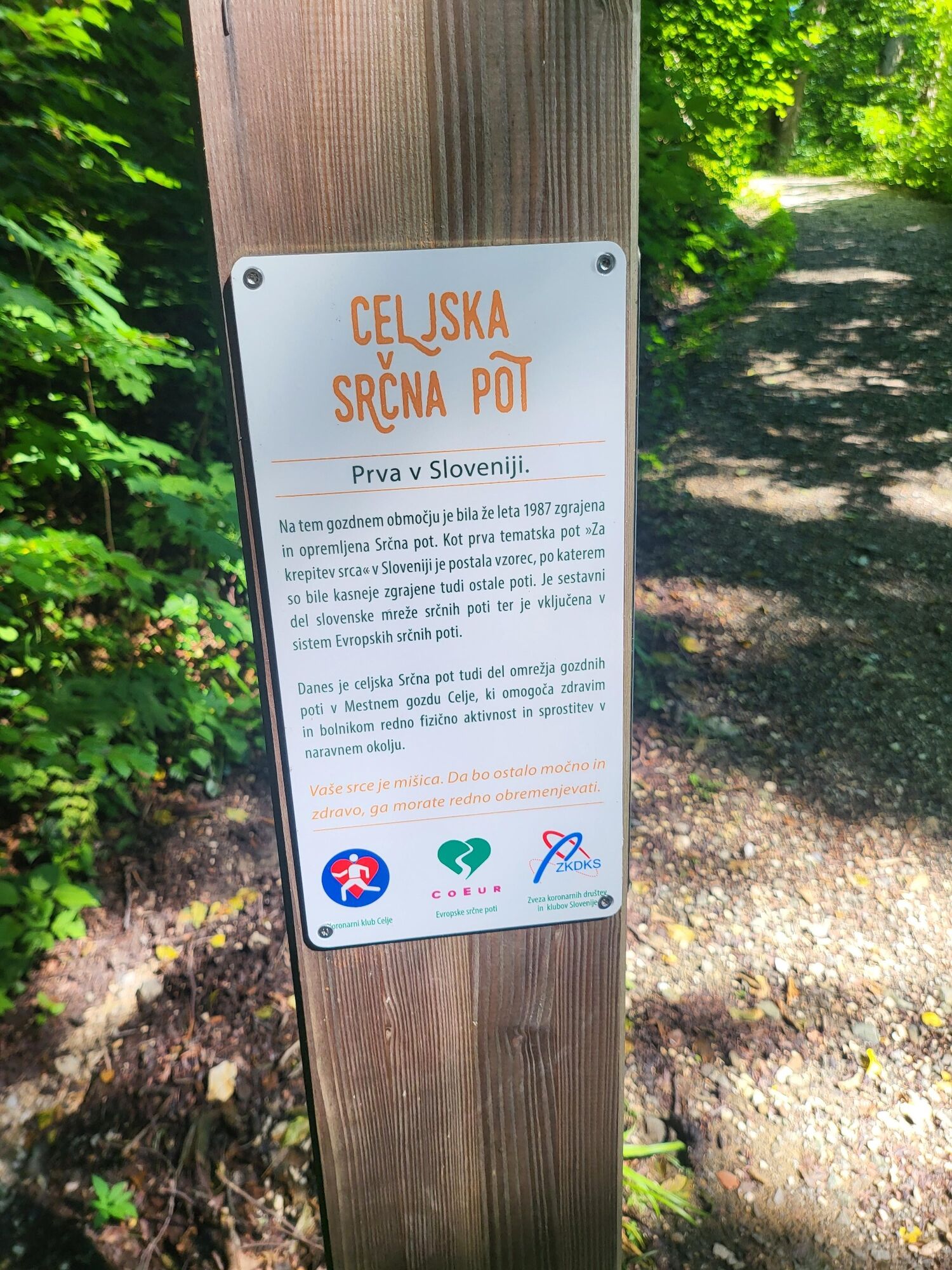
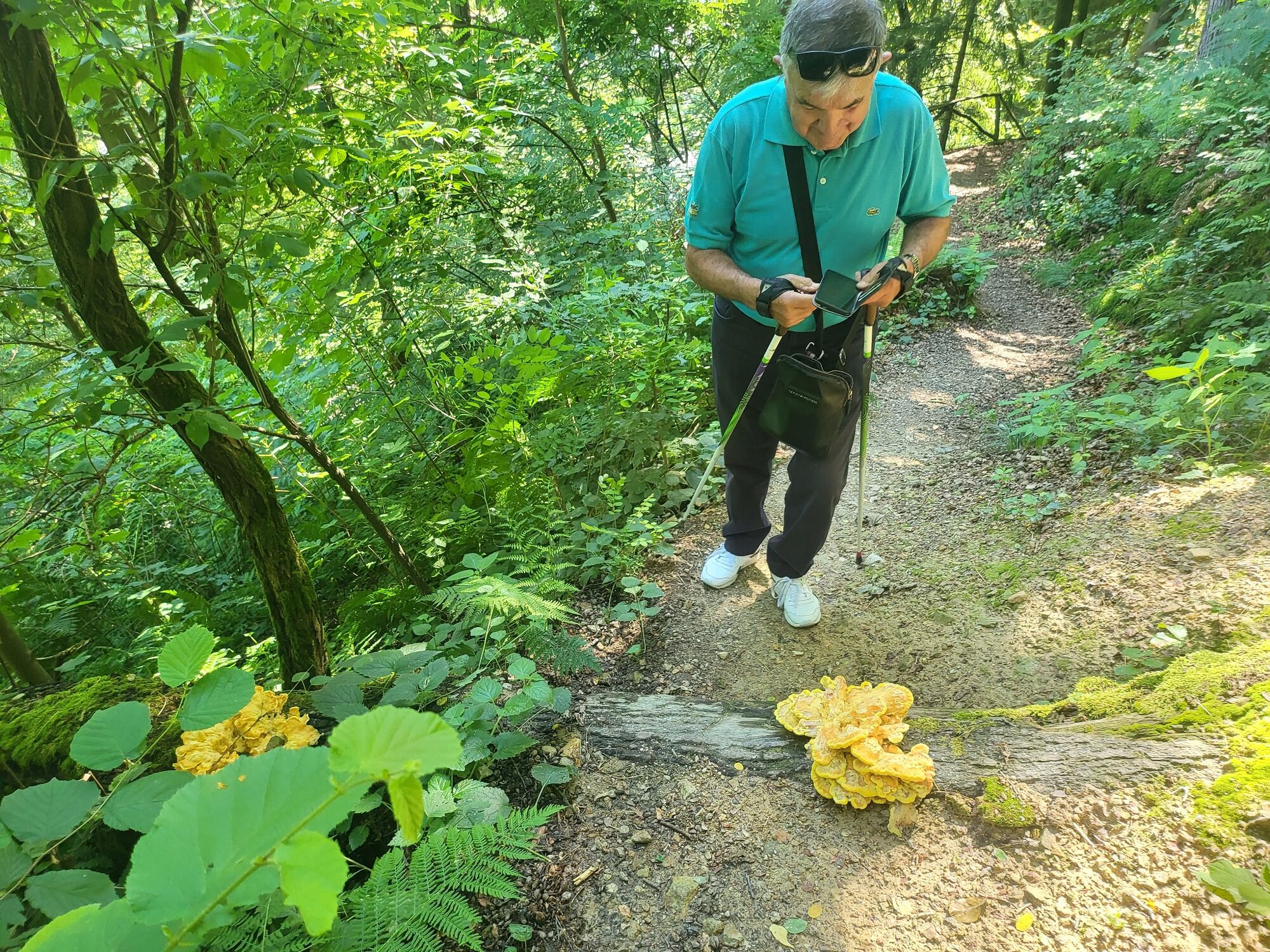
Srčna trim pot is the oldest regulated heart path in Slovenia. The route contains 9 sections in the narrower area of the city and at the end of each there is also a bench that allows you to rest. Various...
SrÄna trim pot is the oldest regulated heart path in Slovenia. The route contains 9 sections in the narrower area of the city and at the end of each there is also a bench that allows you to rest. Various tools for additional exercise and gaining strength are placed along the path at individual places. For each group of patients, a safe heart rate and an approximate safe time for walking at each stage of the route are written on the table at the beginning of the route. Walking faster is not recommended, especially if it is cold, hot or high in the air.
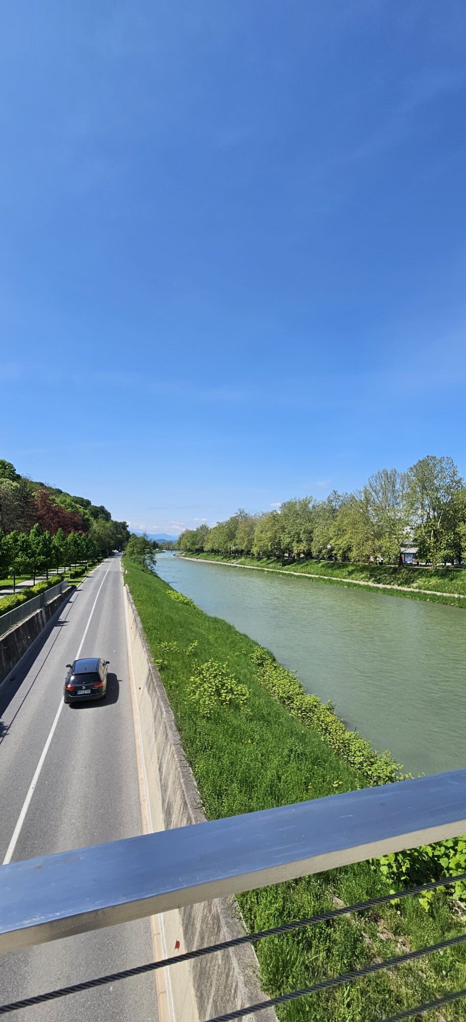
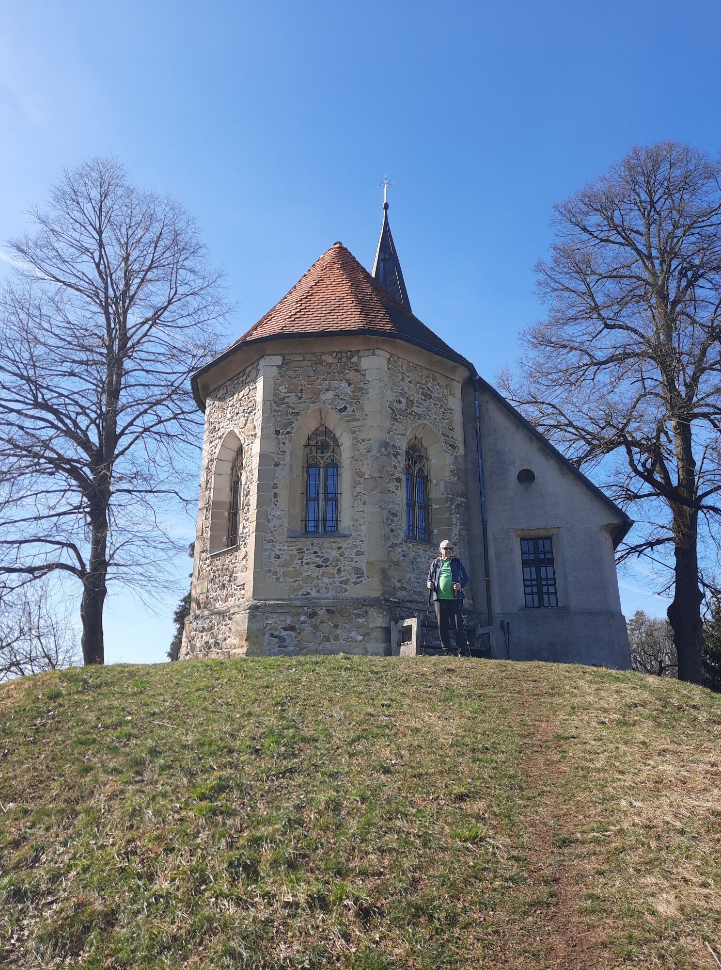
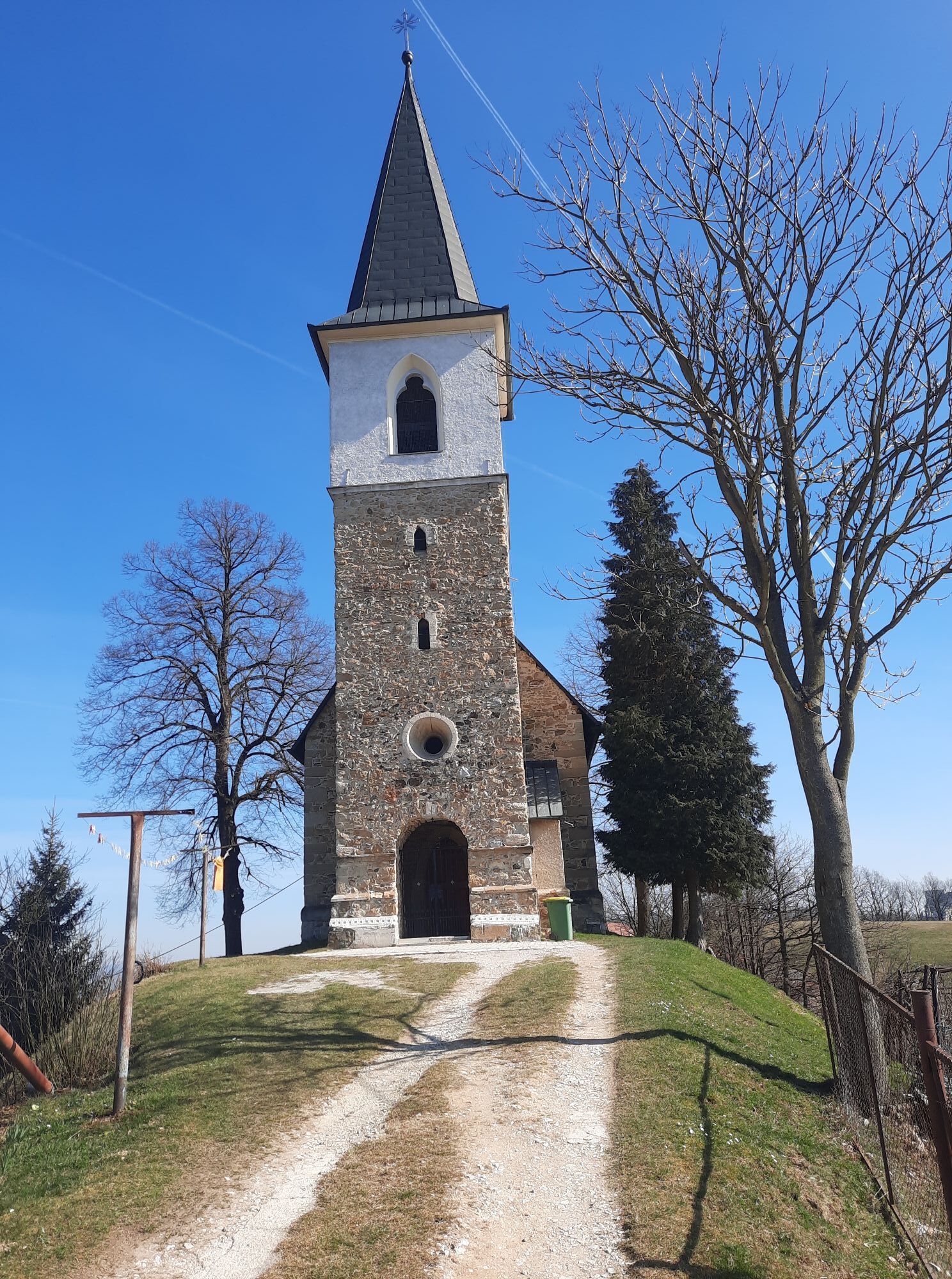
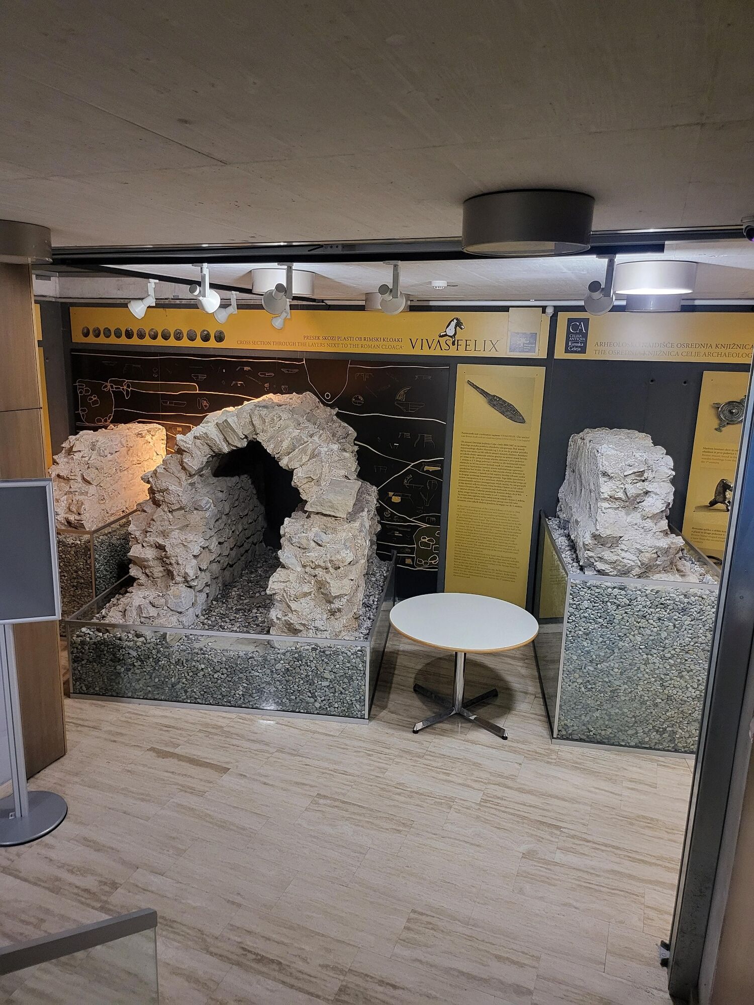
The route practically starts in the old city center of Celje, where you can see the rich archaeological history of the city, which is displayed in the so-called "city under the city". The path continues across the bridge over Savinja to the city park and to the left to the top of Miklavževo Hrib, where the church of St. Miklavž is located. The path winds through the forest and is quite steep in places. From the church, descend to the starting point on the other side of the hill.
The second part of the route can be completed via Anski vrh.

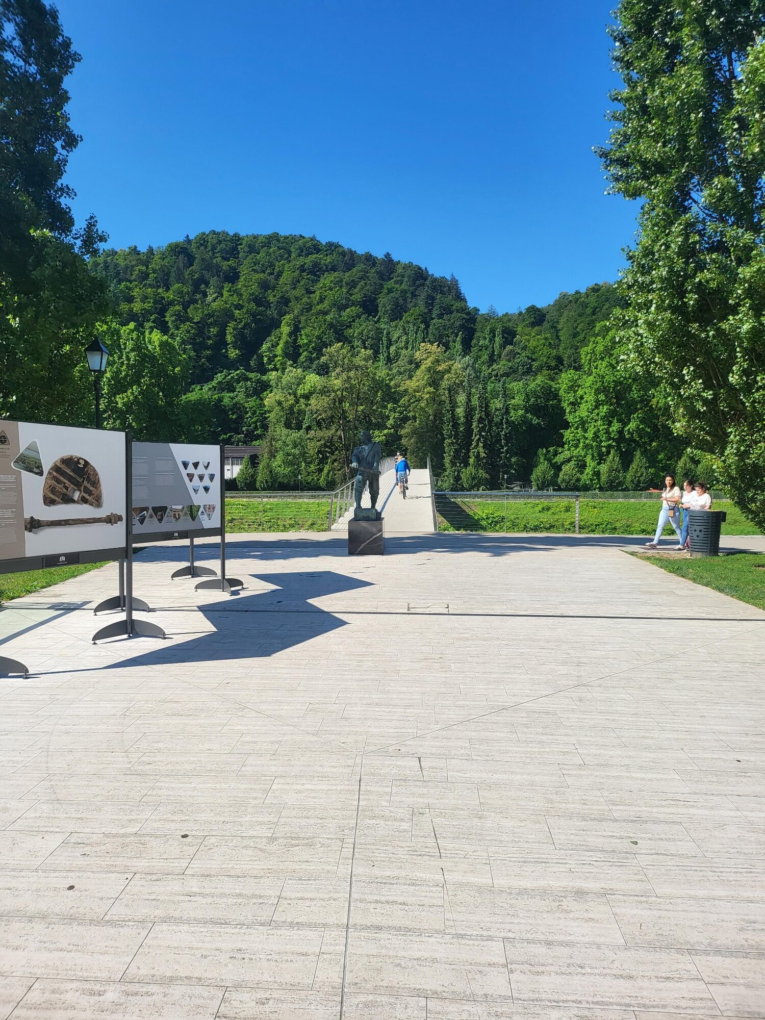
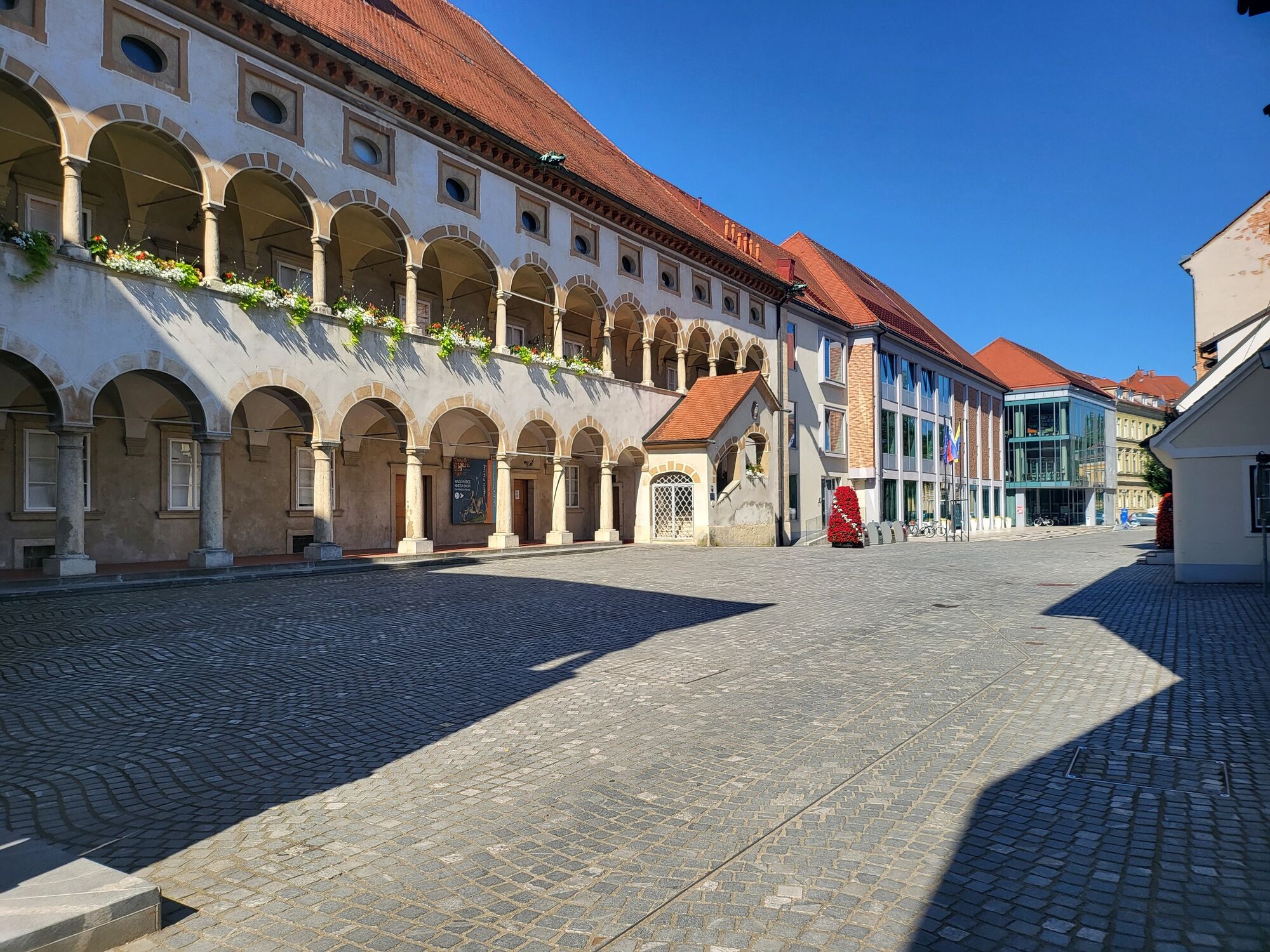
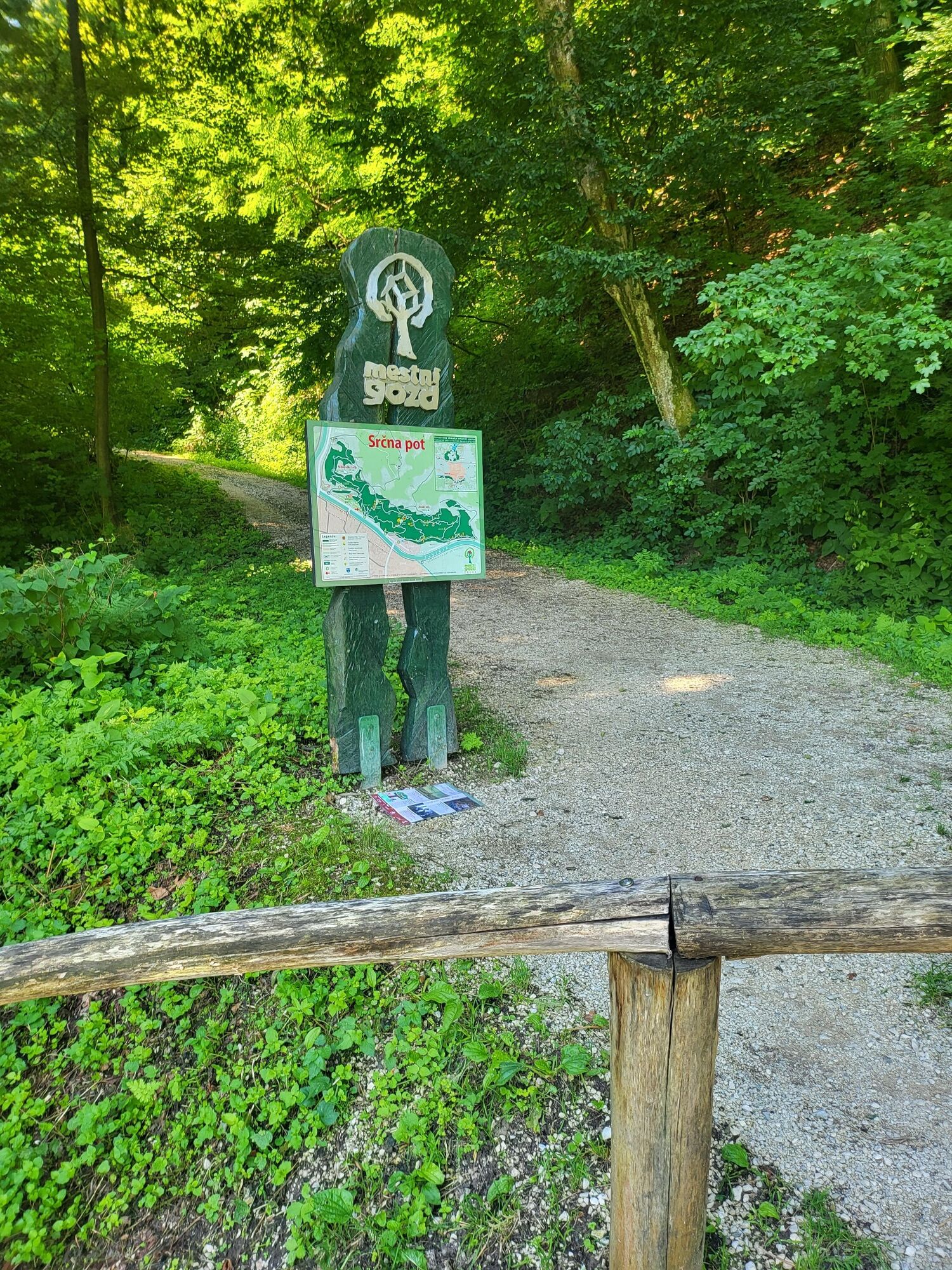
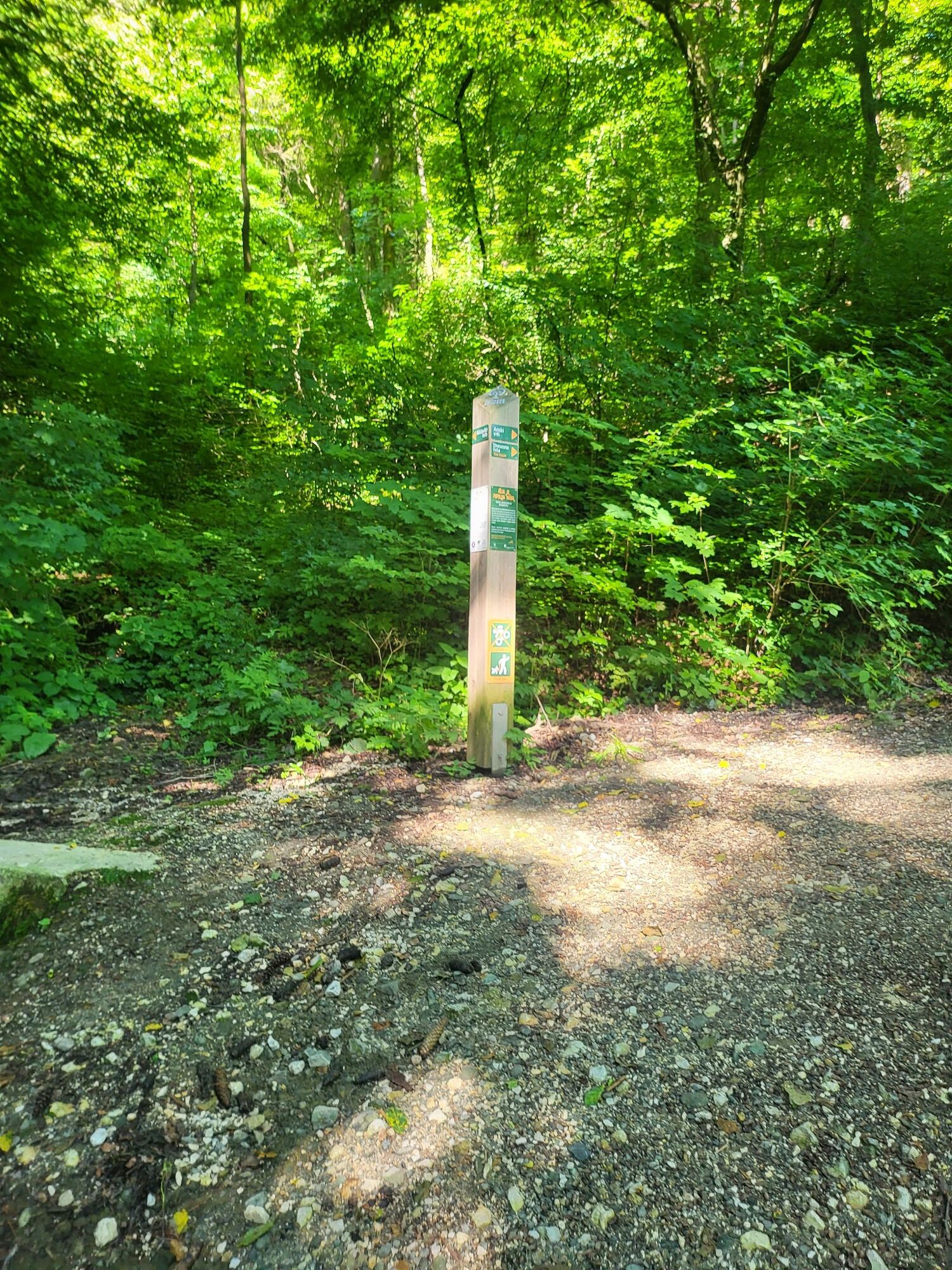
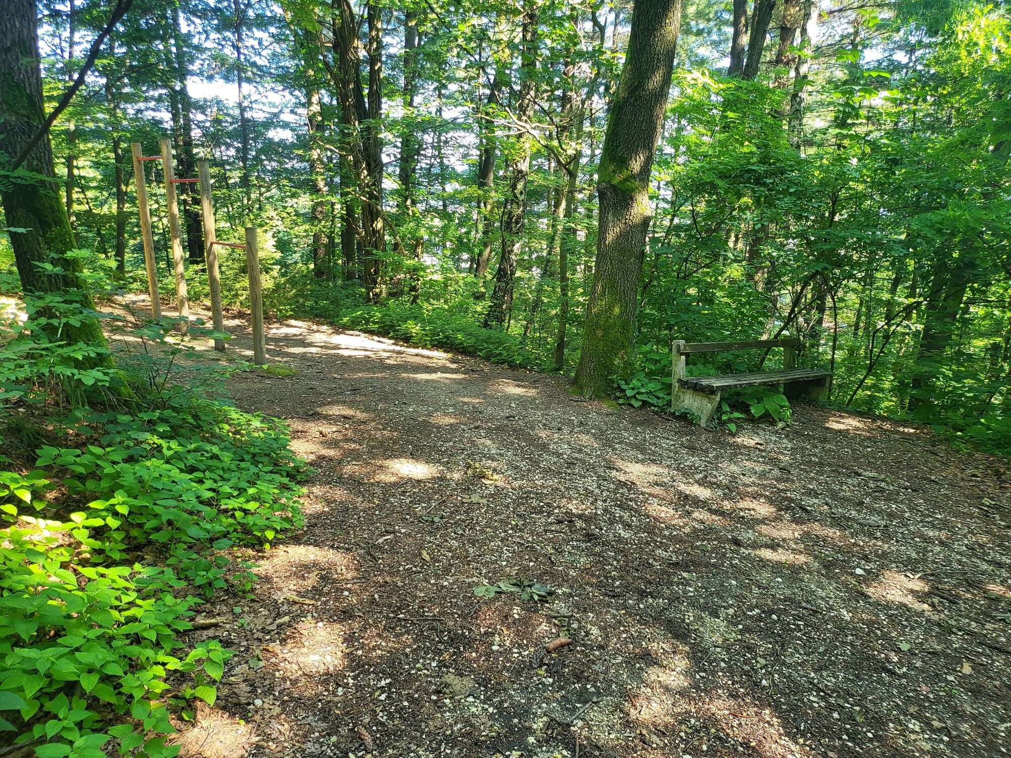
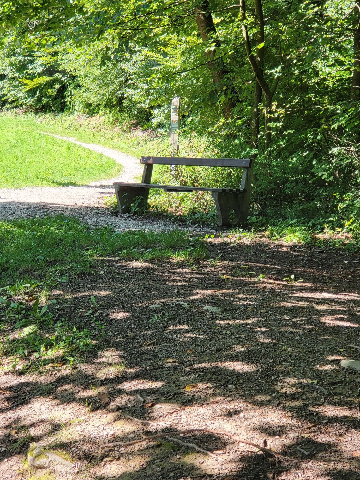

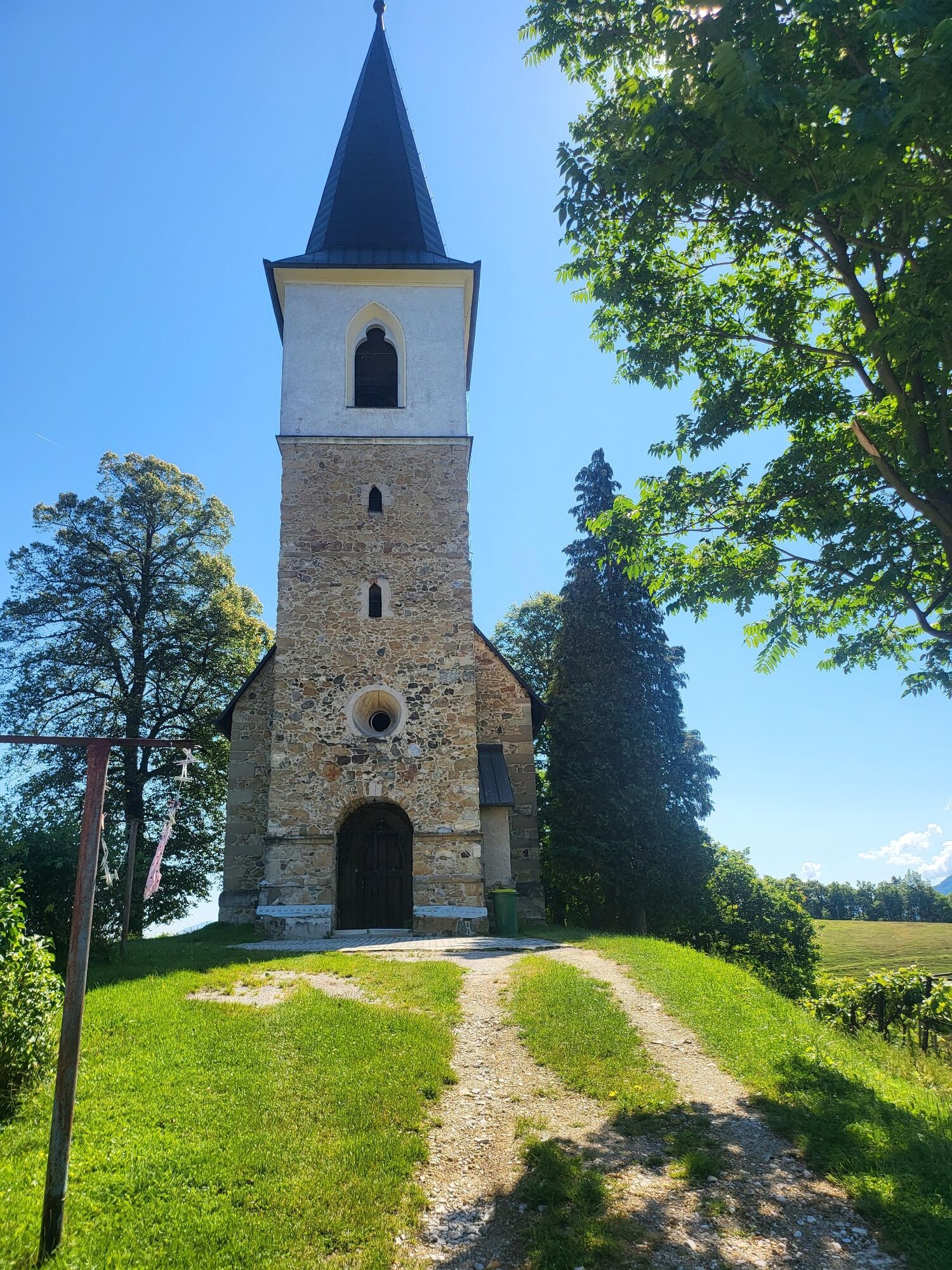
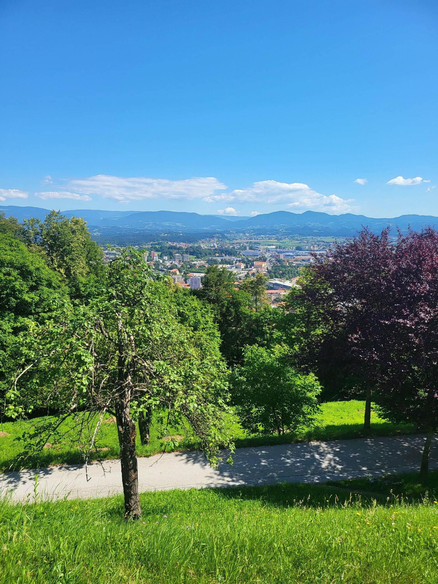
From the old town, we cross the bridge over Savinja and through the park to the information board and route diagram at the foot of the hill. From here, we continue to the left along the forest path along which there are resting places and aids for performing additional exercises. Higher up we come to the road connection to the S, Miklavža church and then to the top of the church. We descend to the starting point on the other side of the hill, also along the well-maintained path.
Tak
Tak
Hiking shoes and light clothing and hiking poles.
If you walk moderately and be careful on the way (especially in the rain), the way is safe.
Follow signs for old city. part.
City public transport
In old city part
More about history and culture at www.celje.si.
As the path is steep in places, walking is recommended even in several shorter attempts.
Popularne wycieczki w okolicy
Mrzlica
średniMountainbike 37,2 kmHmeljko hops
światłoWędrówka 15,5 kmBig hop circle
średniJazda na rowerze 29,3 kmŠmohor
średniMountainbike 32,7 km- 5,0
Smartinsko jezero Runtole, Slowenien
światłoWędrówka 4,80 km - 5,0
Rečica hiking trail
średniWędrówka 34,6 km Kal
średniMountainbike 29,6 kmLiboje-Šmohor-Malič
średniWędrówka 7,48 kmPot SREČNO
średniWędrówka 29,9 kmUrban forest with a tree house
światłoWędrówka 4,21 km
Wędrówki i tropienie


Nie przegap ofert i inspiracji na następne wakacje
Twój adres e-mail została dodana do listy mailingowej.