







Šmohor

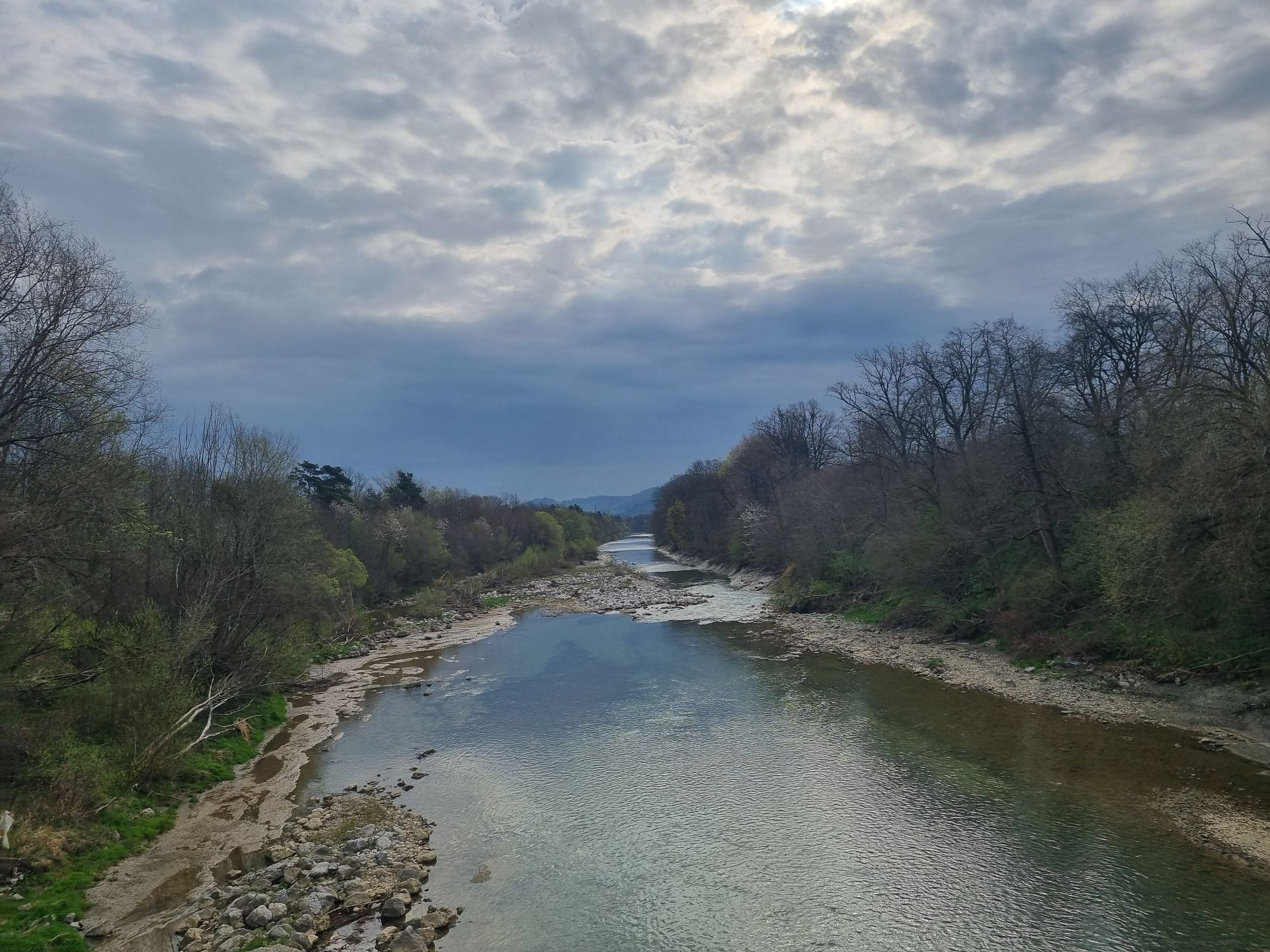
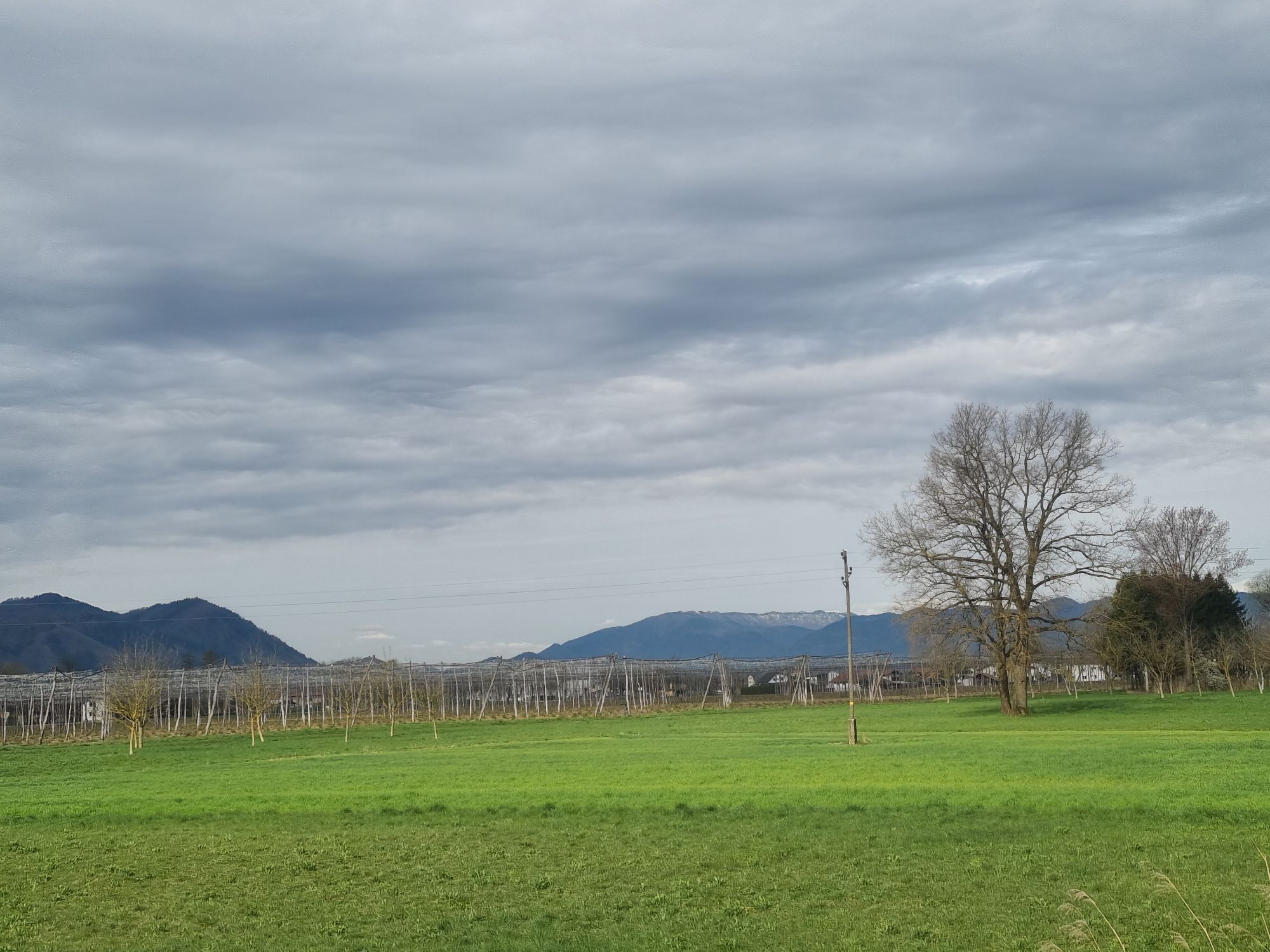
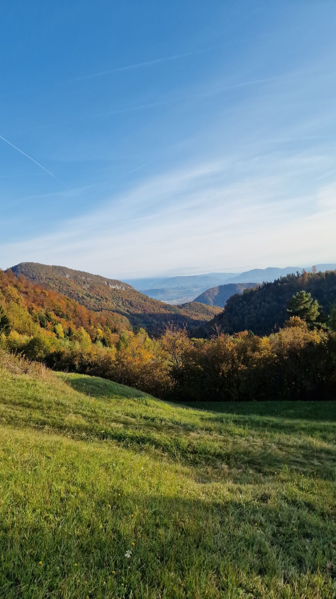
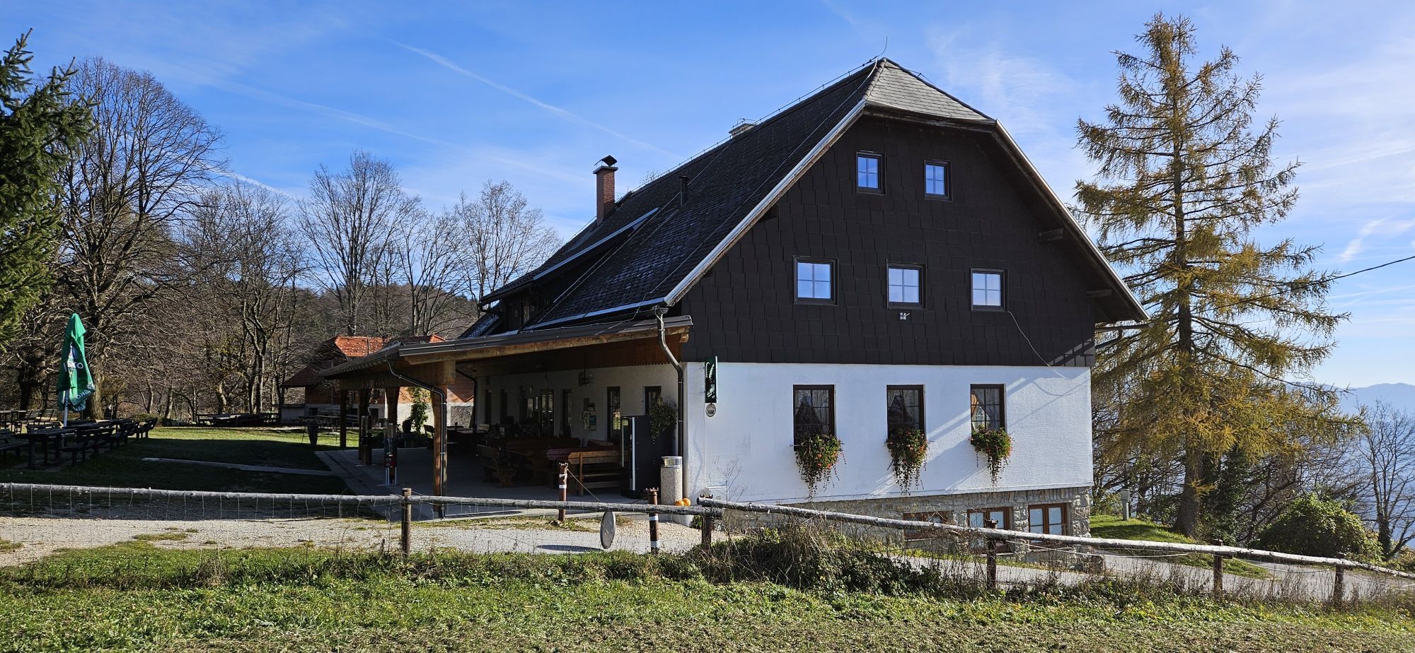
The cycling trail to the St Hermagoras' (Mohor in Slovene) Church starts in Petrovče and continues towards Liboje. In Kasaze we cross the bridge over the Savinja River and then follow the blue mountain...
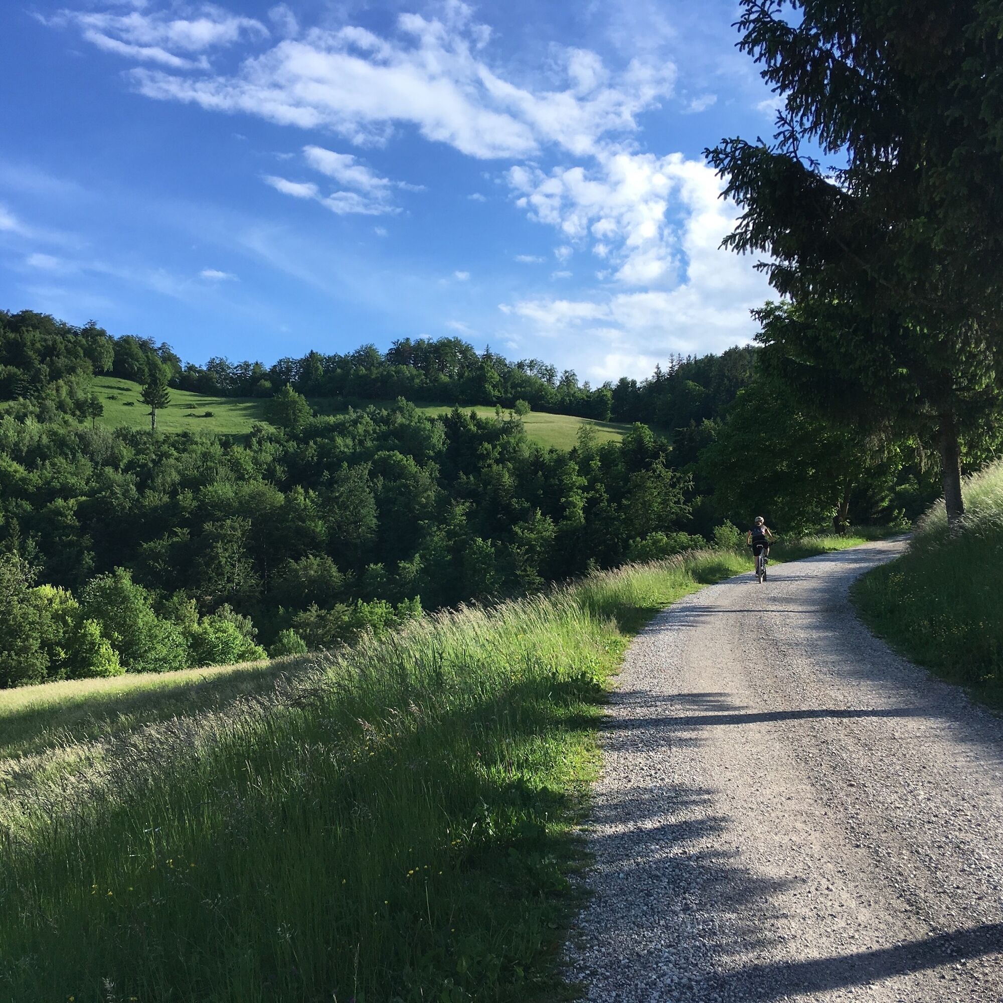
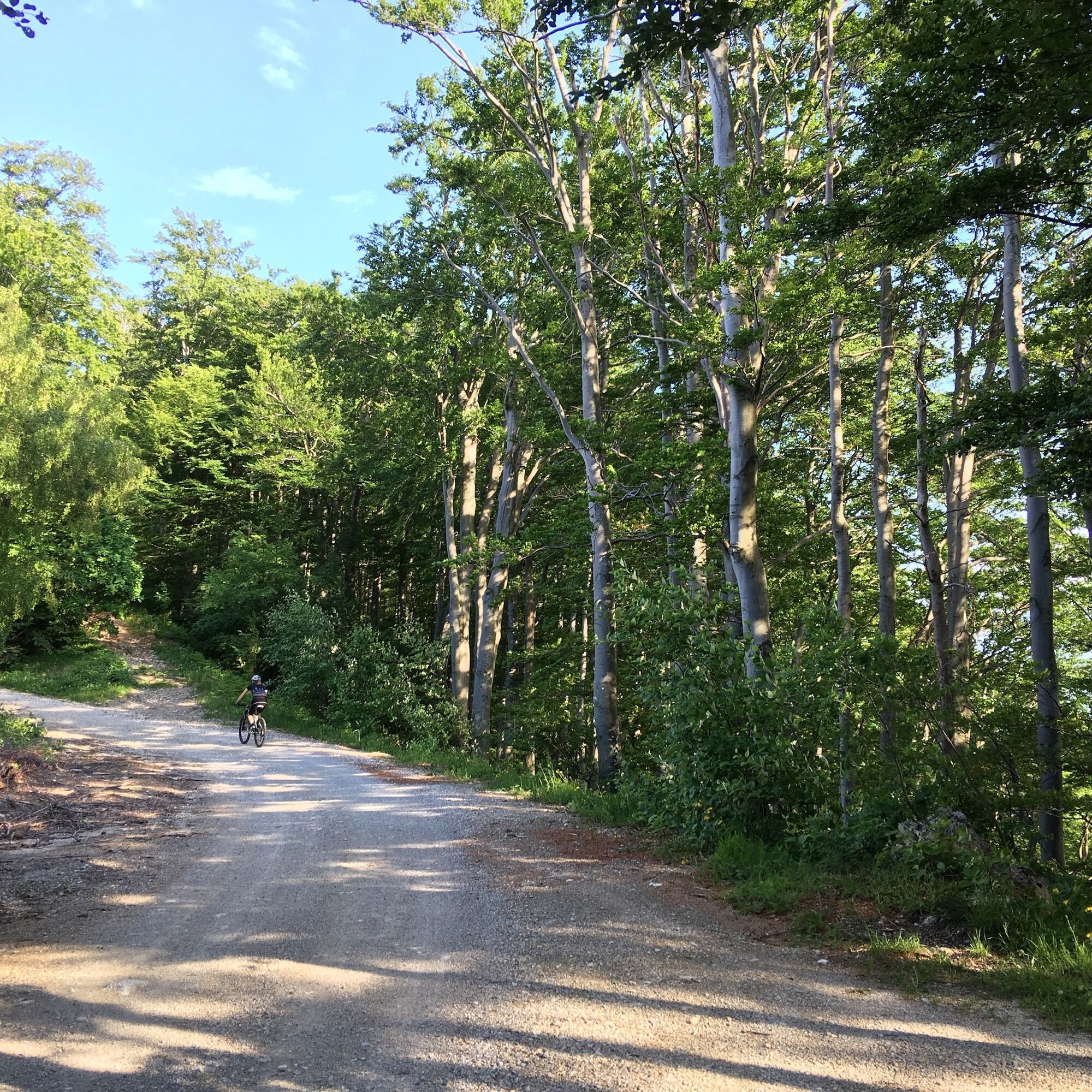
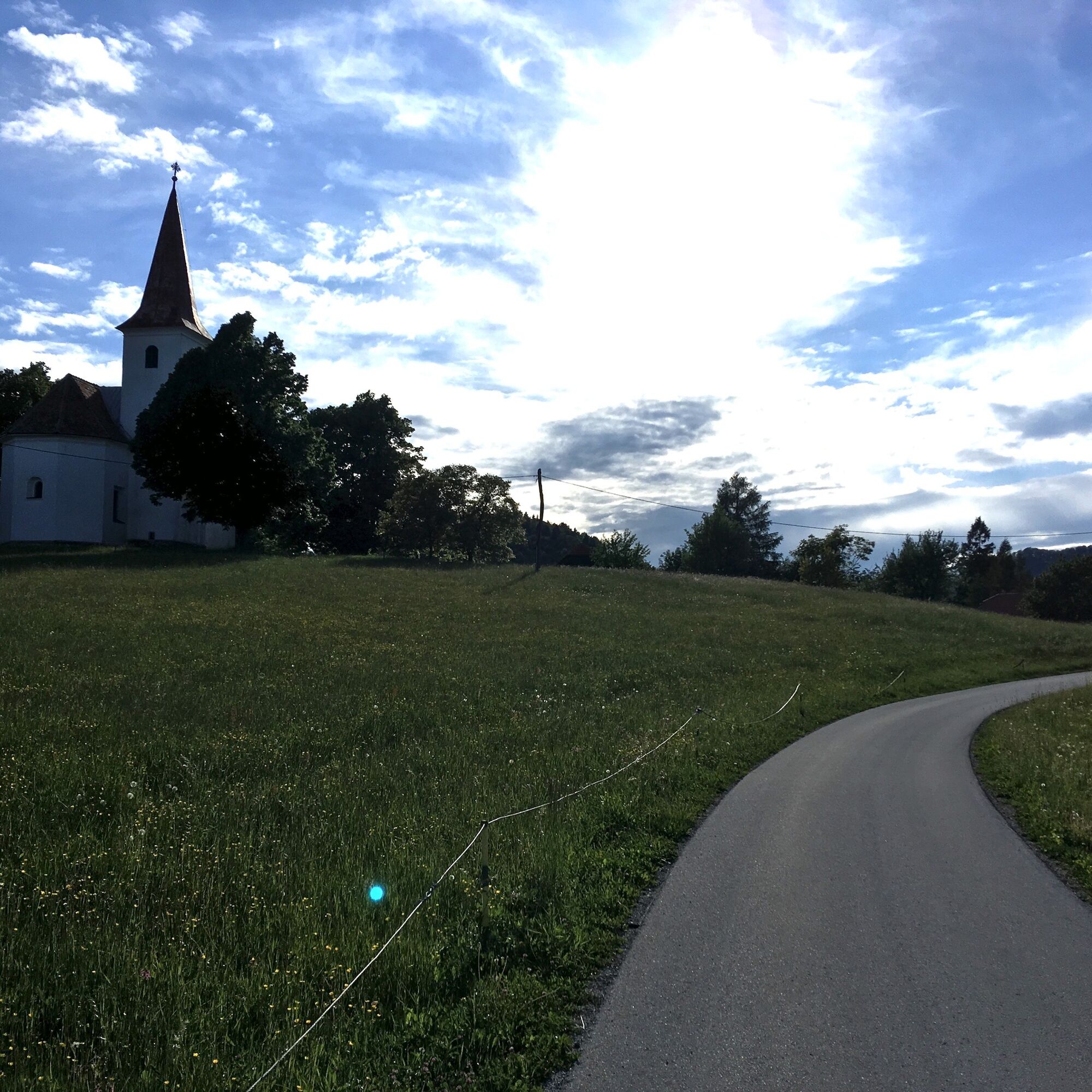
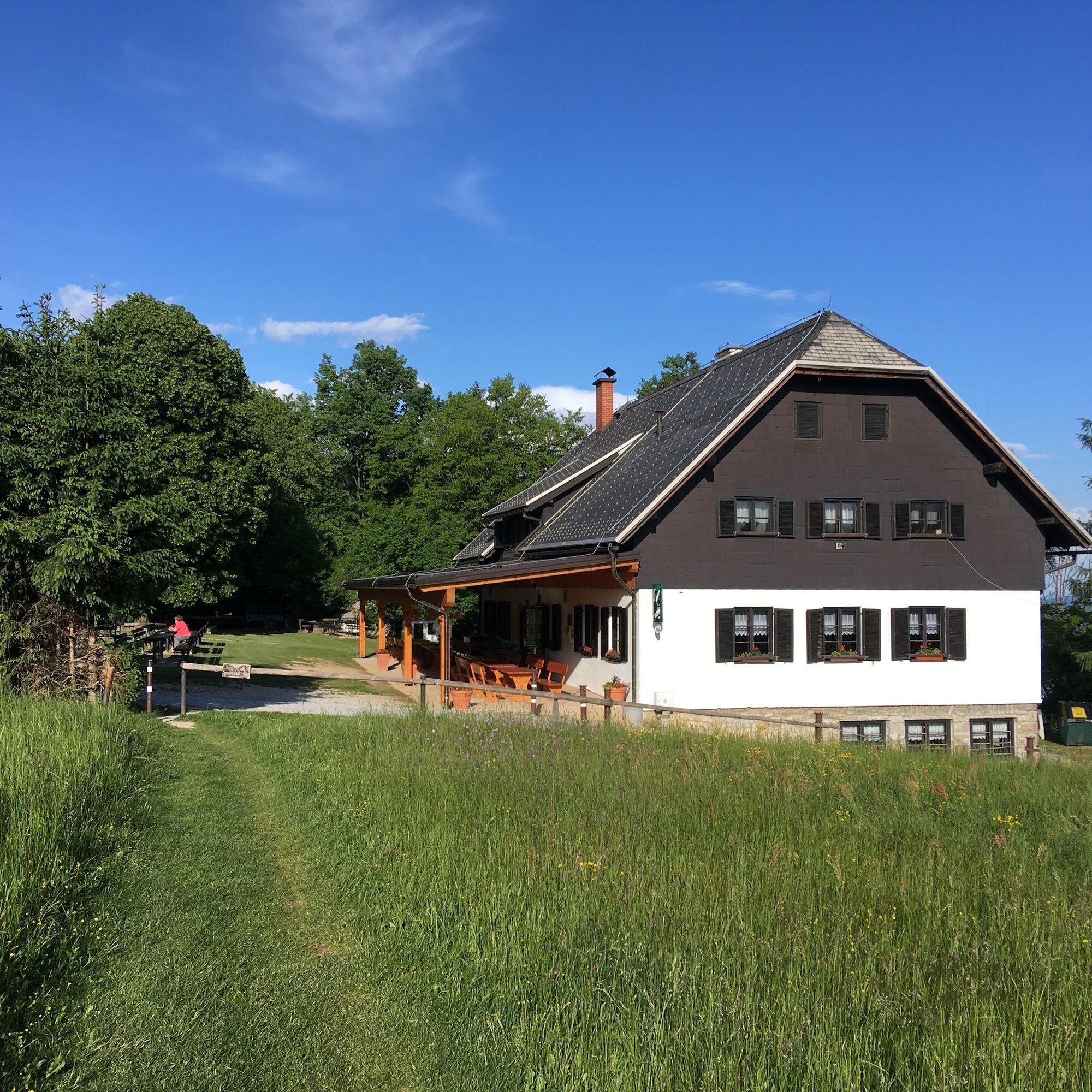
The cycling trail to the St Hermagoras' (Mohor in Slovene) Church starts in PetrovÄe and continues towards Liboje. In Kasaze we cross the bridge over the Savinja River and then follow the blue mountain bike trail markings. The winding road takes us to the junction leading to KoteÄnik – an inspiring part of the Savinja Valley with a world-famous climbing area and a bike park. Once we reach the gravel road, the route starts to ascend. We pass the chapel under the Šmohor peak. The markings direct us left towards the church of St Mohor and later to the Šmohor mountain cabin. The peak offers magnificent views over the Posavje mountains. We can return using the same route. If we want, we can make the trip longer and take a circular route around Gozdnik, a steep hill above the village of Zabukovica. Once we reach the village of Igriše, we descend to Griže and from there, cycle among the hop fields to Žalec, the centre of the Lower Savinja Valley with the first beer fountain in the world.


Tak
Normal cycling equipment
Helmet and caution on public roads
Žalec lies right next to the highway Ljubljana - Maribor
You arrive to Žalec by bus.
Parking available, payable in the city center
In the center of Žalec, you will find Beer Fountain
Mind the possible hikers on the trails
Popularne wycieczki w okolicy
-
4,0
Zasavje long distance trail
średnidługodystansowy szlak pieszy 159,8 km -
5,0
Loke - Krvavica (skozi okno) Slovenia
Wędrówka 5,79 km -
Mrzlica
średniMountainbike 37,2 km -
Big hop circle
średniJazda na rowerze 29,3 km -
Heart trail Celje
średniTrasa tematyczna 3,14 km -
Hmeljko hops
światłoWędrówka 15,5 km -
5,0
Smartinsko jezero Runtole, Slowenien
światłoWędrówka 4,80 km -
5,0
Rečica hiking trail
średniWędrówka 34,6 km -
Road cycling routs through the Lower Savinja Valley
światłoDroga rowerowa 42,8 km -
Kal
średniMountainbike 29,6 km

Wędrówki i tropienie


Nie przegap ofert i inspiracji na następne wakacje
Twój adres e-mail została dodana do listy mailingowej.





