


Winter hiking local & walking path Rapoldsberg
Poziom trudności: 2
Winter hiking pleasures at Hochkönig
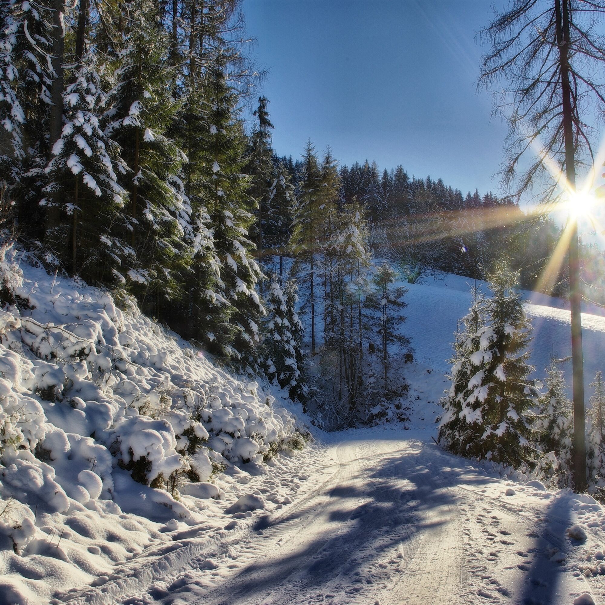
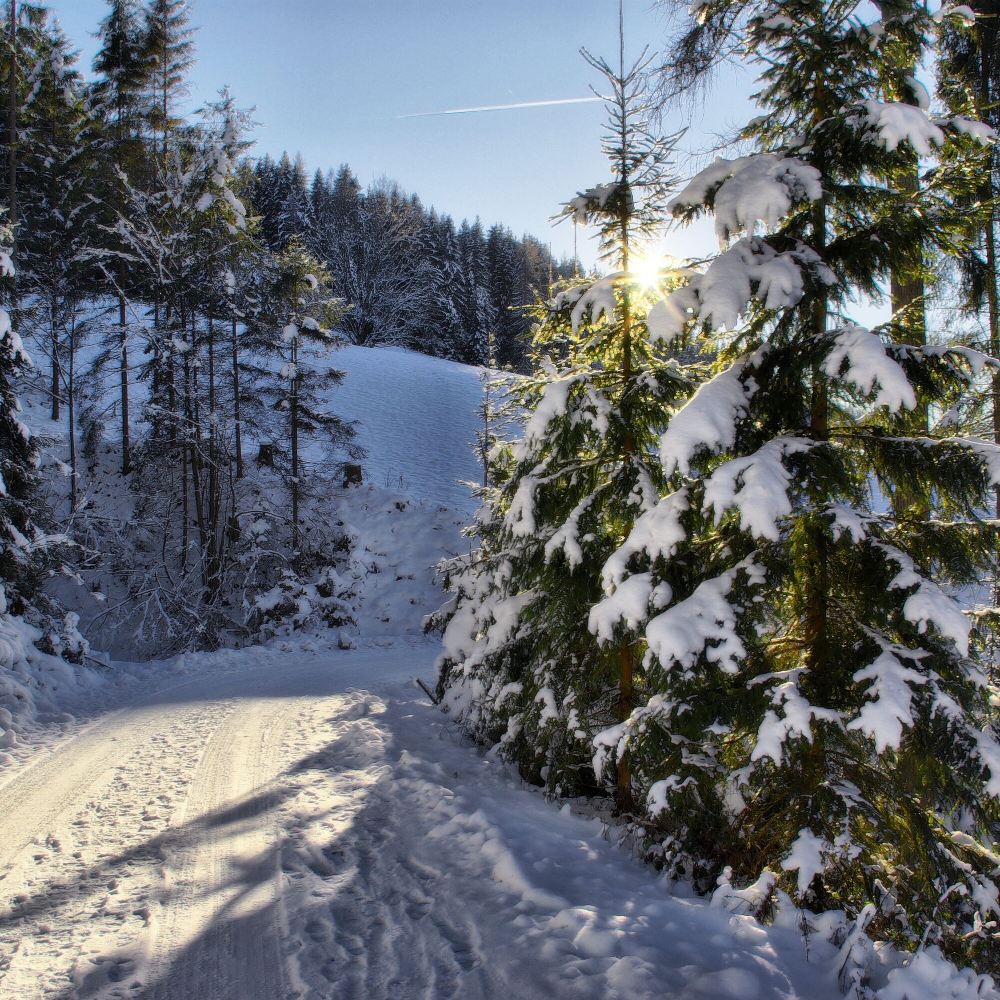
Hiking is fun even in winter! The snow crunches under your feet and you pass through a sparkling and magical winter landscape. On the 85 km of groomed winter hiking...
Winter hiking pleasures at Hochkönig
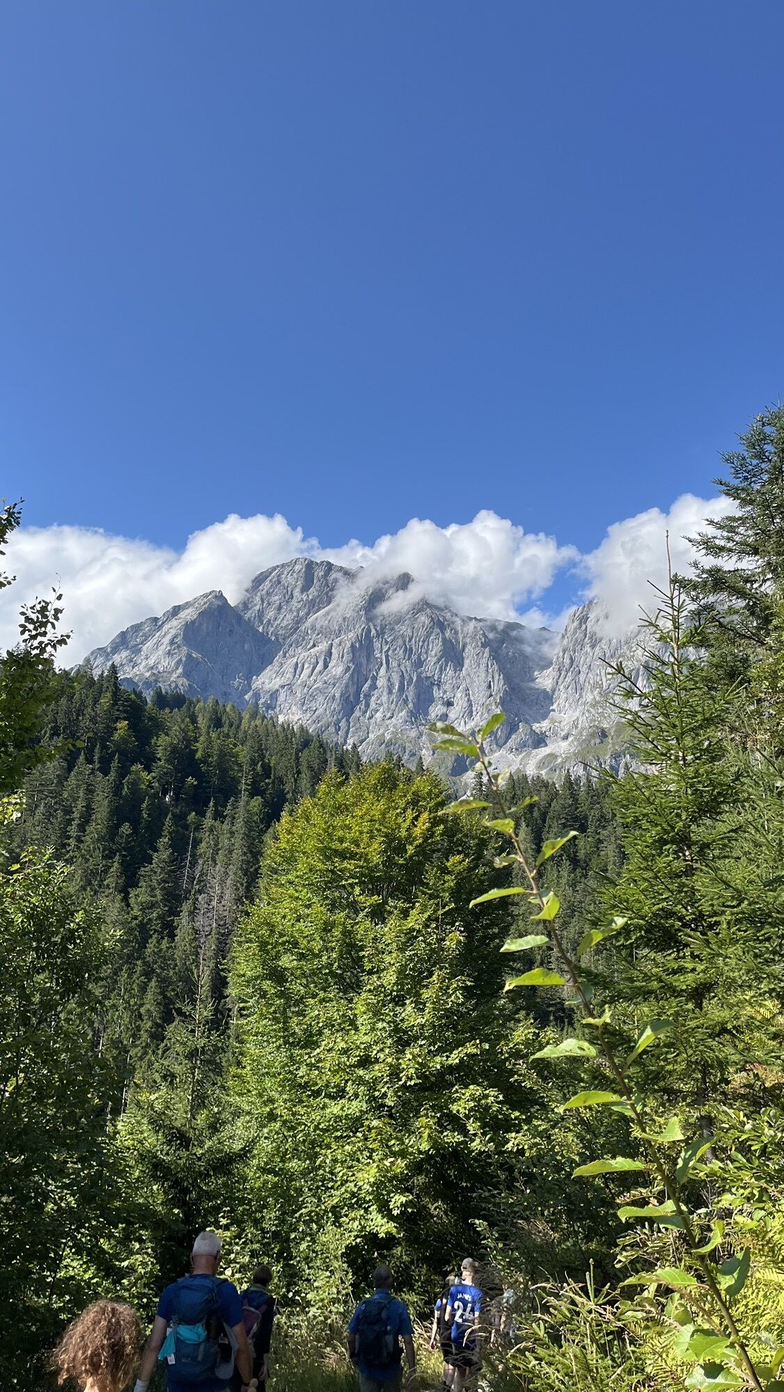
Hiking is fun even in winter! The snow crunches under your feet and you pass through a sparkling and magical winter landscape. On the 85 km of groomed winter hiking trails there is plenty of time to enjoy views of the wonderful mountain world of the Hochkönig.

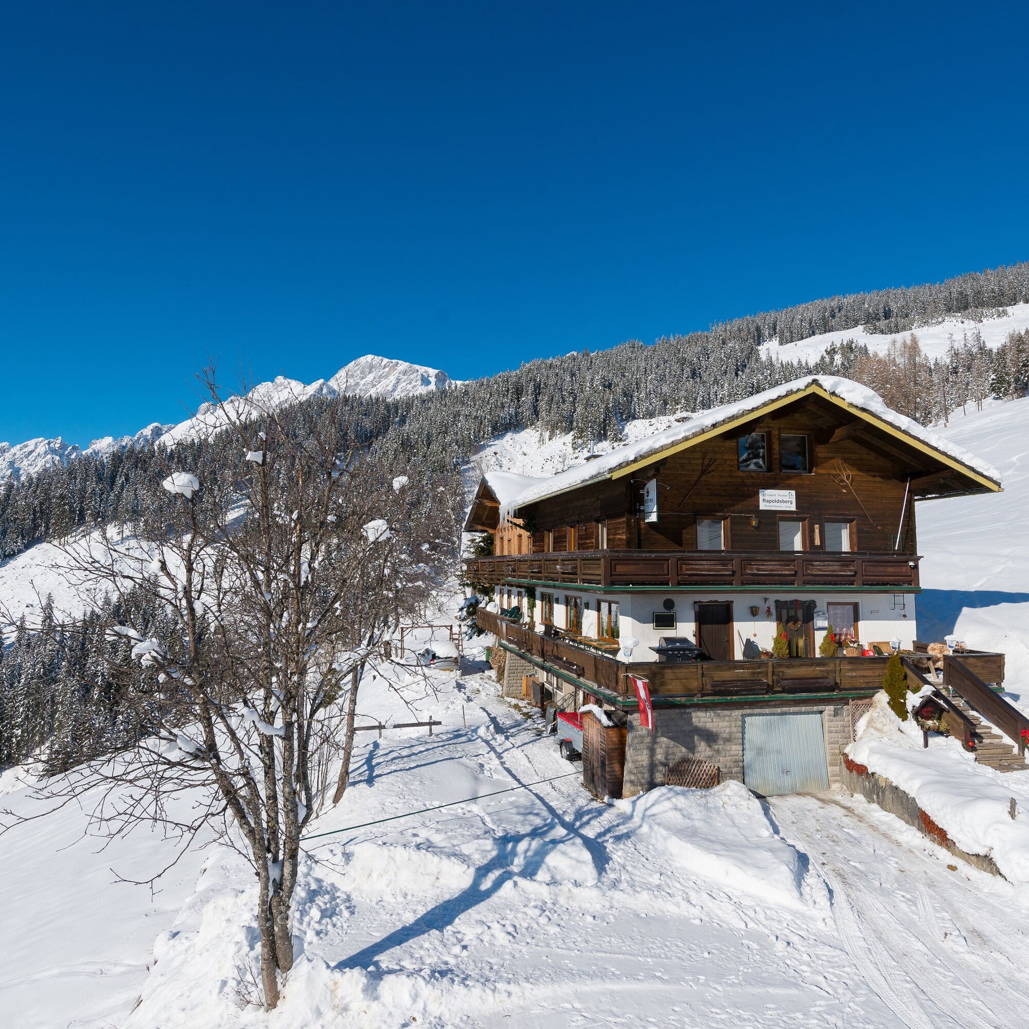
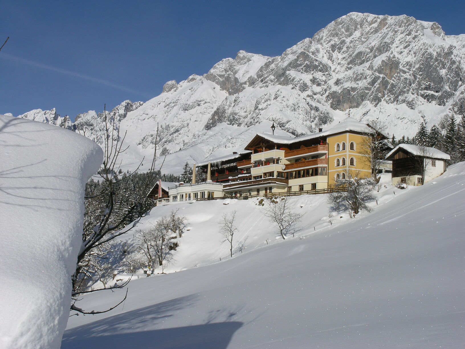
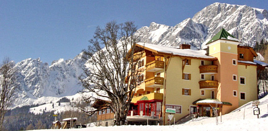
All local and walking paths start in front of the service center – with a view of the BK Bike bicycle shop and the service center behind you. Start at the service center and go to the left. After the Gasthof Post turn right into the street and follow the signage of path no. 85, which always leads uphill along the Erzweg. After the Bernhardgut and the Kniegut you reach the forest at the “Viererwasch”. At a fork in the path keep to the right and continue to the next crossroad. Here turn right in the direction of Hotel Bergheimat and follow the path behind the Bergheimat to the Hotel Sonnhof. Cross the Mandlwandstraße and continue hiking on path no. 86 towards the Alpengasthof Rapoldsberg, where you have a wonderful view of the so-called “Schattseit” of Mühlbach and the Schneeberg.
Clothing: warm, layered clothing, hat, gloves, non-slip boots
Equipment: daypack, hiking poles, headlamp, possibly crampons or snowshoes
Safety & navigation: mobile phone, map/GPS, first aid kit, whistle
Food and drink: water, snacks, thermos flask
Optional: sunglasses, sun cream, seat pad
Check the weather: Obtain the latest weather and avalanche reports before setting off.
Wear the right clothing: Layers, waterproof, warm, with a hat, gloves and non-slip boots.
Equipment: Walking sticks, head torch, map/GPS, mobile phone, first aid kit. In case of ice or snow, possibly snowshoes or crampons.
Consider your fitness level: Adjust your pace to suit your fitness level.
Make use of daylight: Winter days are short – allow enough time.
Avoid slipping: Walk carefully, use poles and non-slip soles.
Food and drink: Take water, warm drinks and snacks with you.
Emergency plan: Tell someone your route and have emergency numbers to hand.
Respect nature: stay on the paths, avoid avalanche and wildlife protection areas.
Arrival from Salzburg: Take the A10 motorway to the Bischofshofen exit, then continue on the B311 towards Bischofshofen. Follow the Hochkönig federal road/B164 to Mühlbach.
Arrival from Innsbruck/Kufstein: Take the Loferer Straße/B178 towards St. Johann i.T., then via the Hochkönig federal road/B164 through Saalfelden and Maria Alm to Mühlbach.
Then continue along Mandlwandstraße towards Arthurhaus
Train: Bischofshofen station - ÖBB Scotty
Bus: Line 591 to the Kabinenbahn Karbachalm stop - timetable information
Free parking available opposite the fire station near the town center.
2
Hochkönig Tourismus GmbH
Am Gemeindeplatz 7
5761 Maria Alm
Tel. +43 6584 20388
The Alpengasthof Rapoldsberg invites you to stop for a meal at the destination of the winter hiking trail!
Popularne wycieczki w okolicy
- 4,9
Großarl: Aualm - Liechtensteinkopf - Aukopf - Schuhflicker - Schuhflickersee
średniWędrówka 5,84 km - 4,8
Summit stormer route Lauskopf
ciężkiWędrówka 8,16 km - 4,8
Summit storming route Taghaube
ciężkiWędrówka 6,25 km - 4,7
About the "Four Huts circular route" to Windraucheggalm
średniWędrówka 10,1 km - 4,7
Panorama hike to the Hochkeil
średniWędrówka 6,07 km - 3,6
Wanderung zur Ostpreußenhütte in Werfen (1.630 m)
średniWędrówka 11,2 km - 4,8
Großarl: Mooslehenalm – Niggeltalalm – Viehhausalm
średniWędrówka 5,44 km - 4,8
Hochkönig - Gipfel der Gefühle - Matrashaus
ciężkiWędrówka 20,9 km - 4,4
Alpine and hut hike "Hochmaisalm & Steinbockalm"
średniWędrówka 8,10 km - 4,6
Königsjodler Klettersteig (C/D) Hochkönig
ciężkiVia ferrata 25,8 km

Wędrówki i tropienie


Nie przegap ofert i inspiracji na następne wakacje
Twój adres e-mail została dodana do listy mailingowej.