


Circular hike from Mitterberg via Schönwieskopf to Hundstein
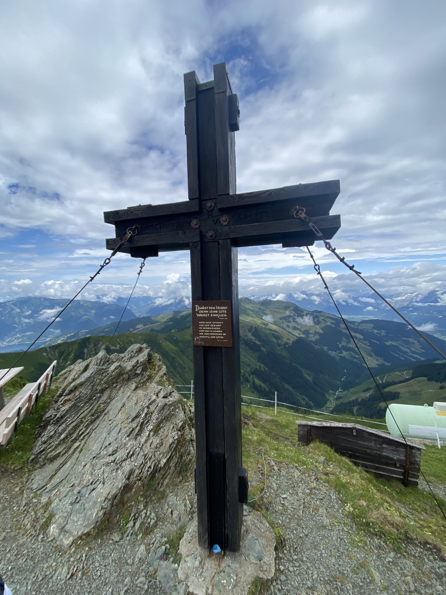
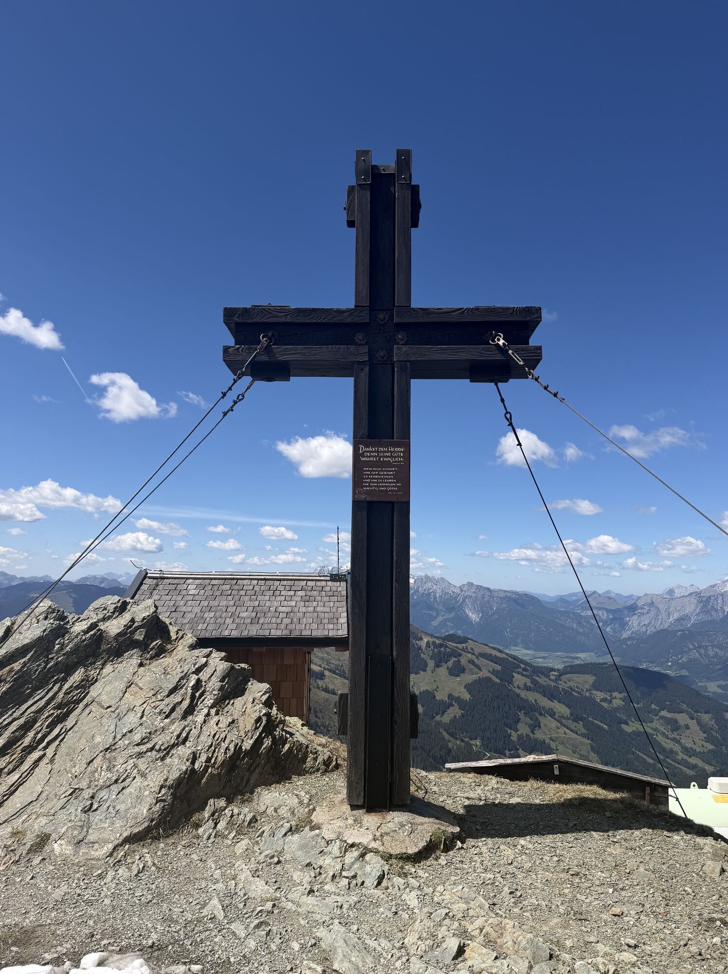
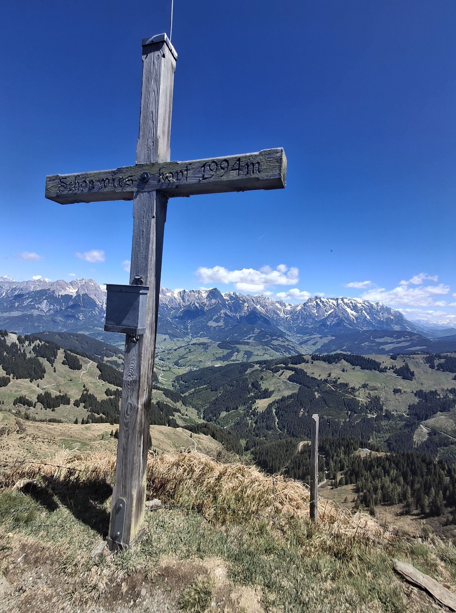
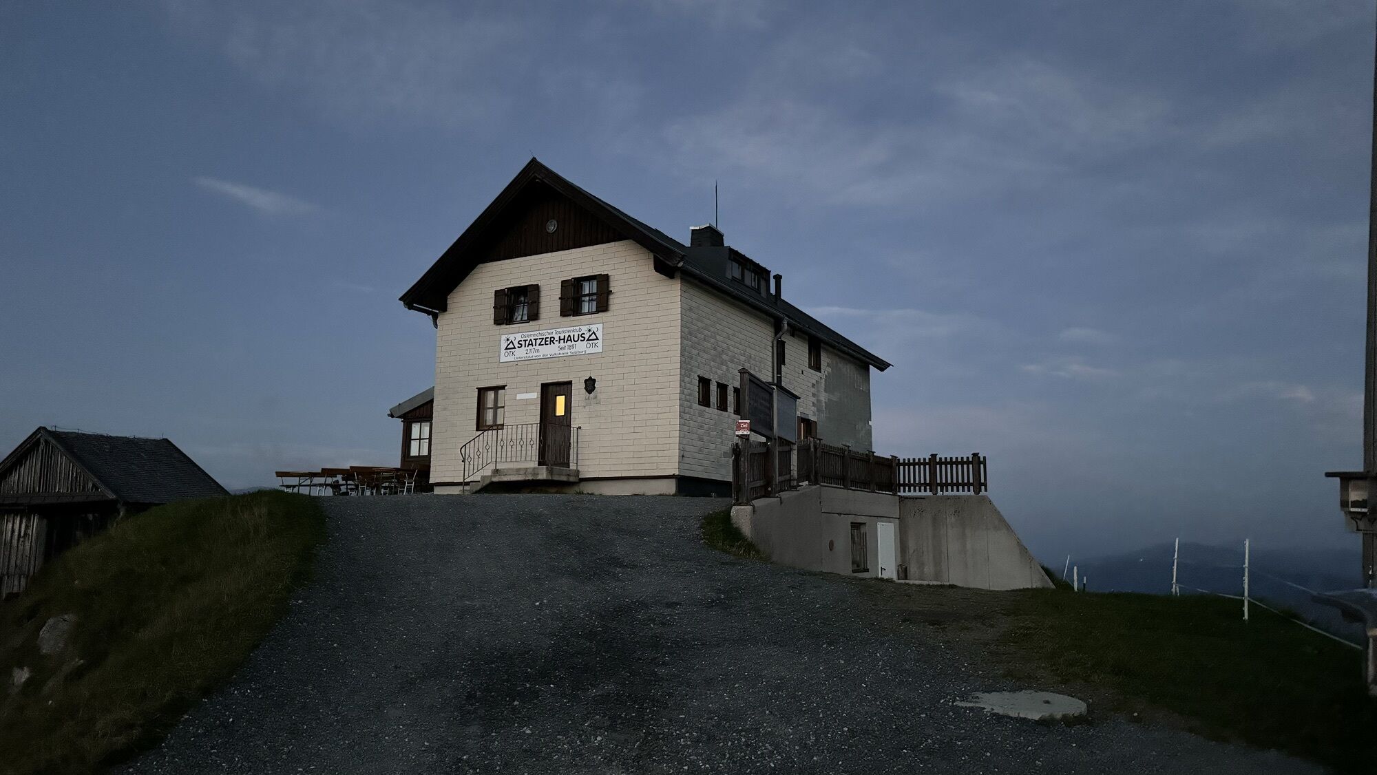
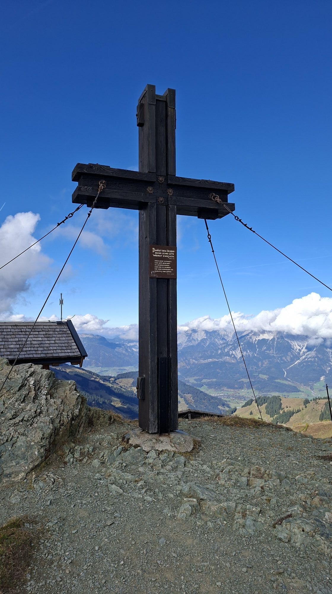
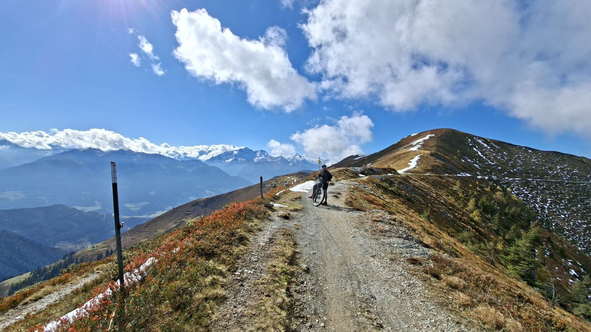

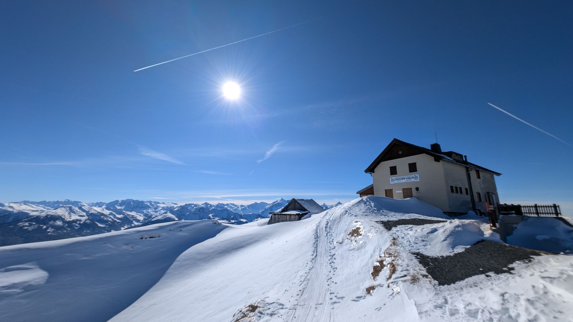

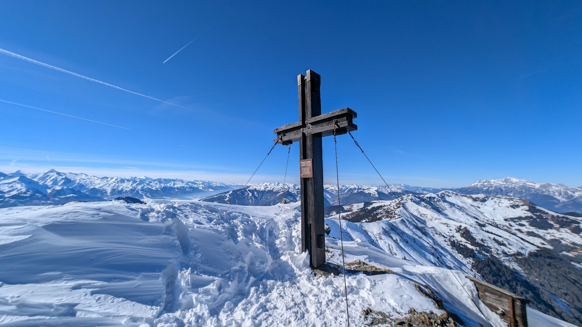
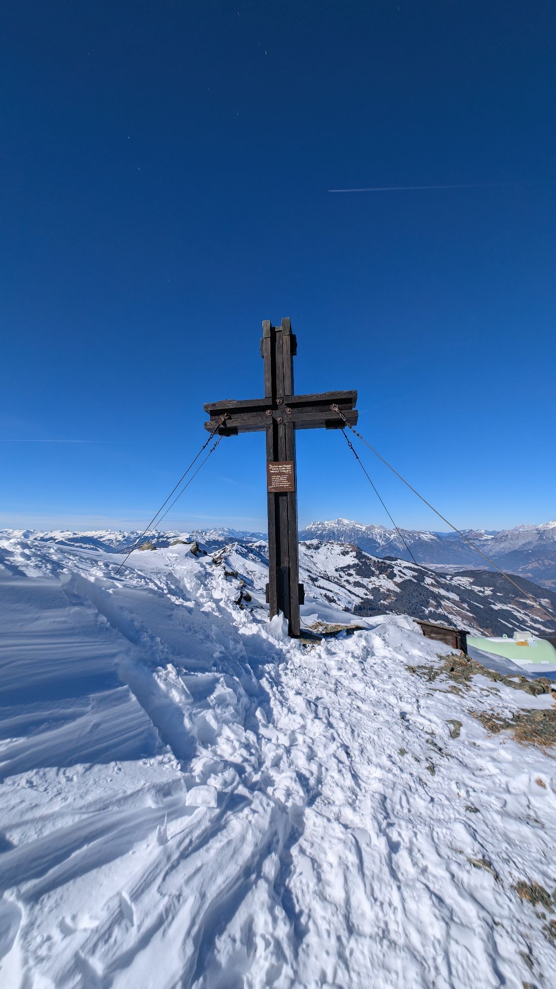
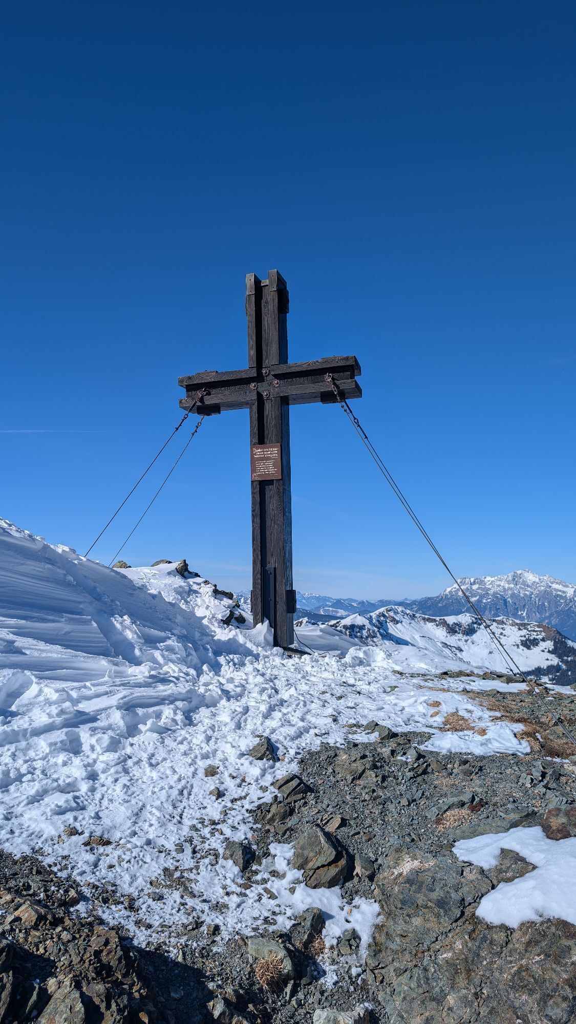

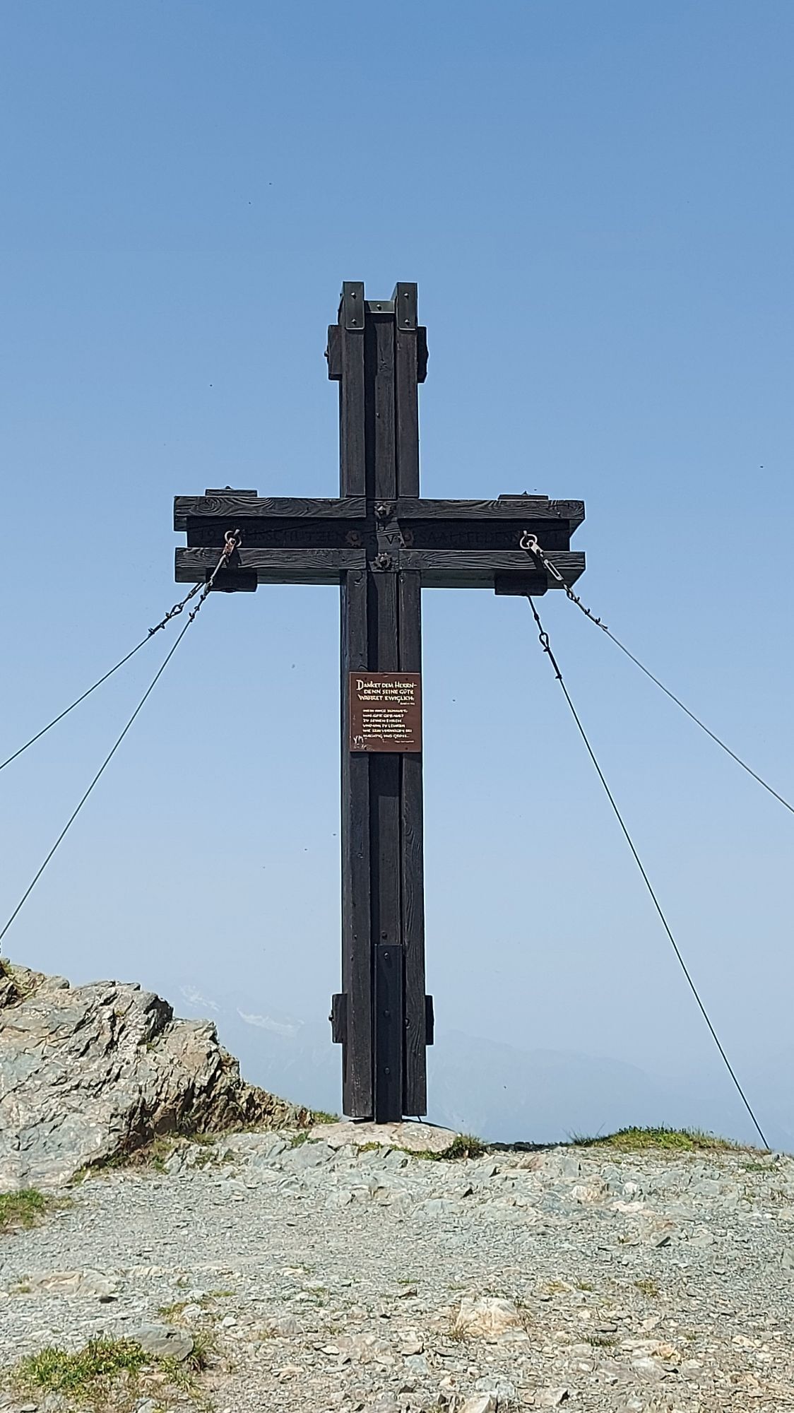
This beautiful circular tour leads from the Mitterberg mountain inn across flowering alpine meadows and scenic ridges up to the Hundstein with the Statzerhaus at 2,117 m. Along the way, the Schützingalm...
This beautiful circular tour leads from the Mitterberg mountain inn across flowering alpine meadows and scenic ridges up to the Hundstein with the Statzerhaus at 2,117 m. Along the way, the Schützingalm and the Statzerhaus invite you to stop for a bite to eat. After reaching the summit, the trail leads past the Rupertihaus and over the Hochschleipfgut back to the starting point. A tour full of nature, views and authentic mountain moments!


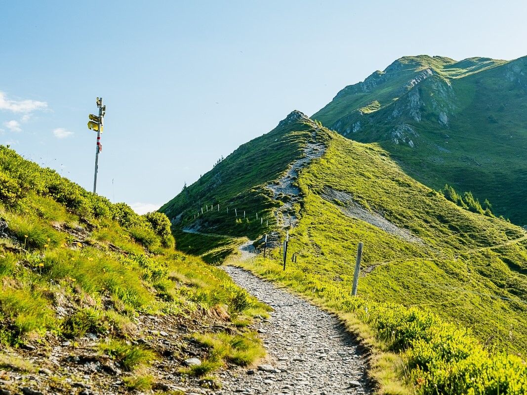
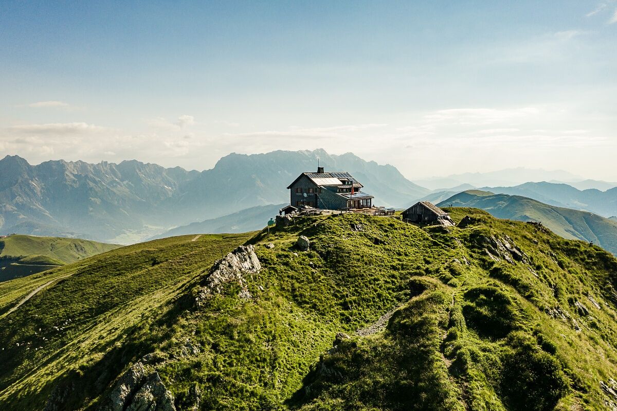

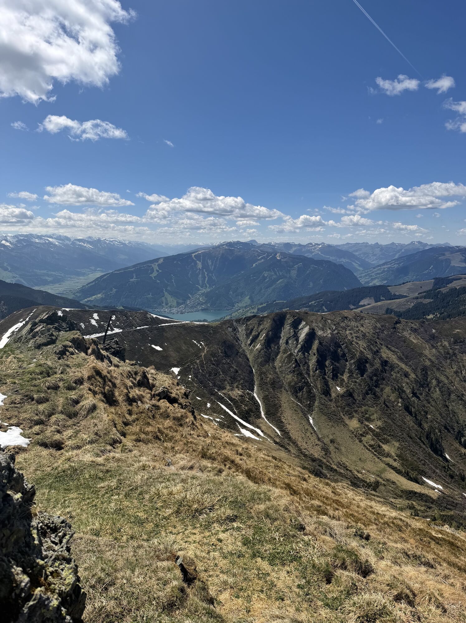
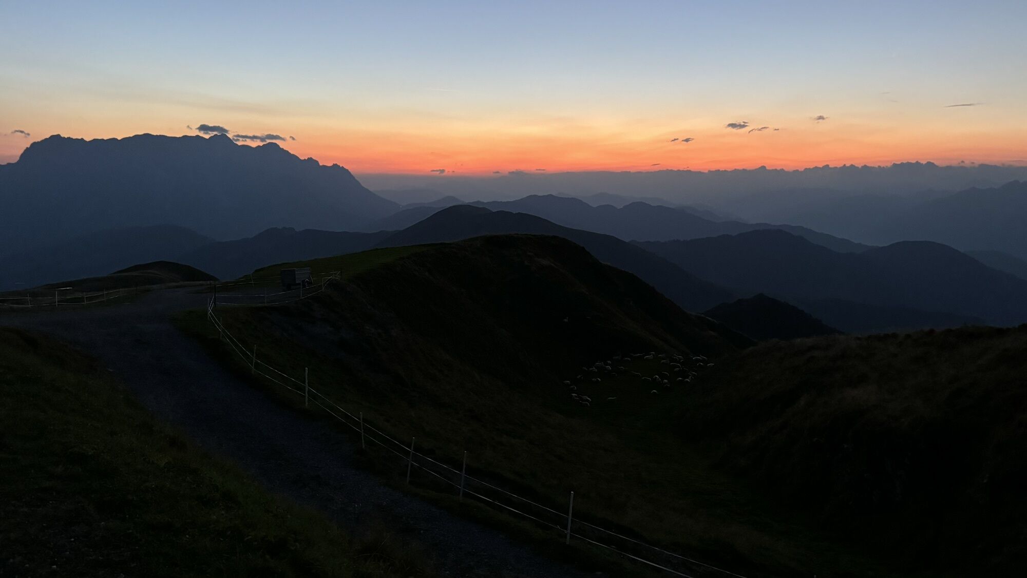
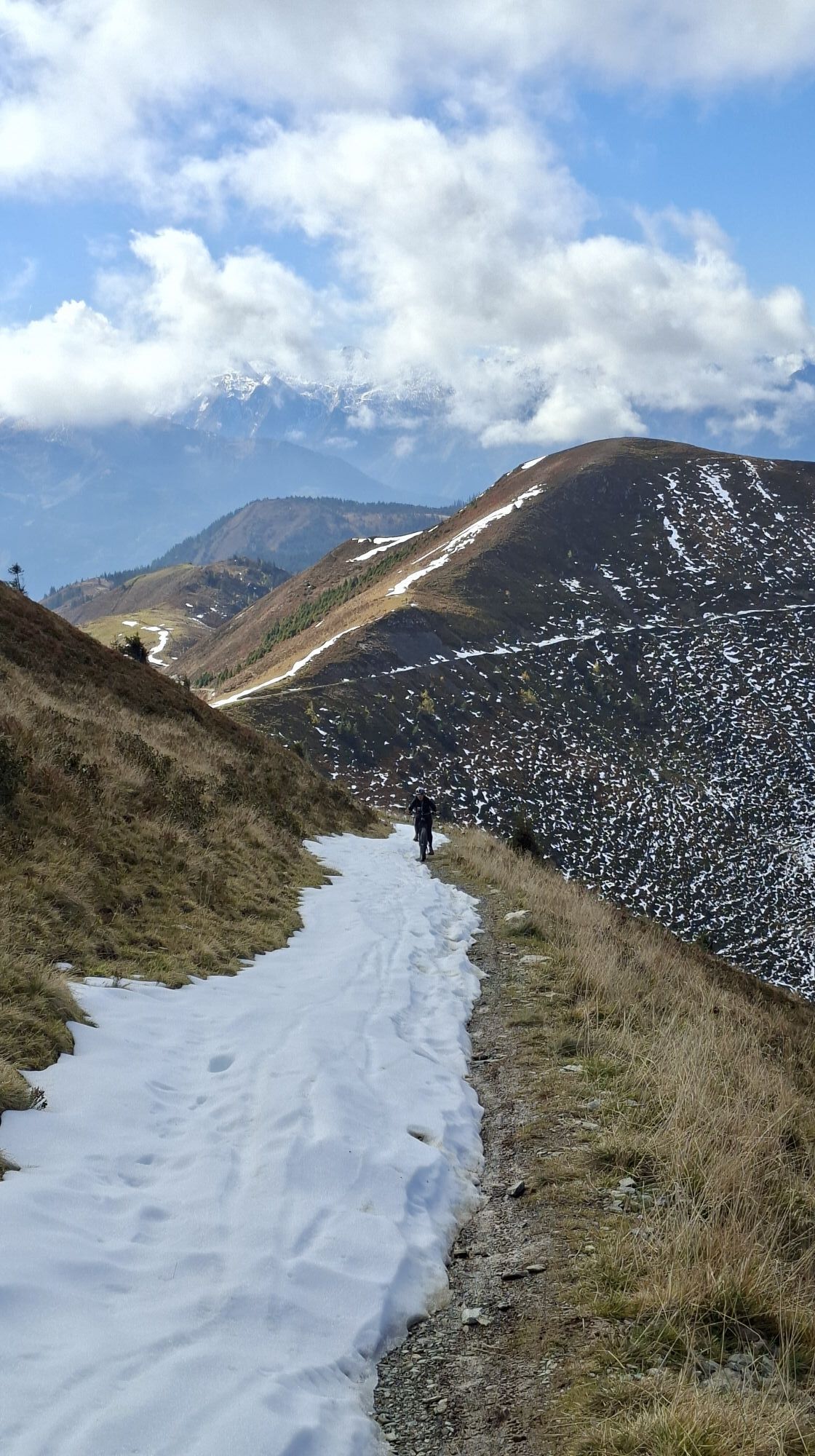
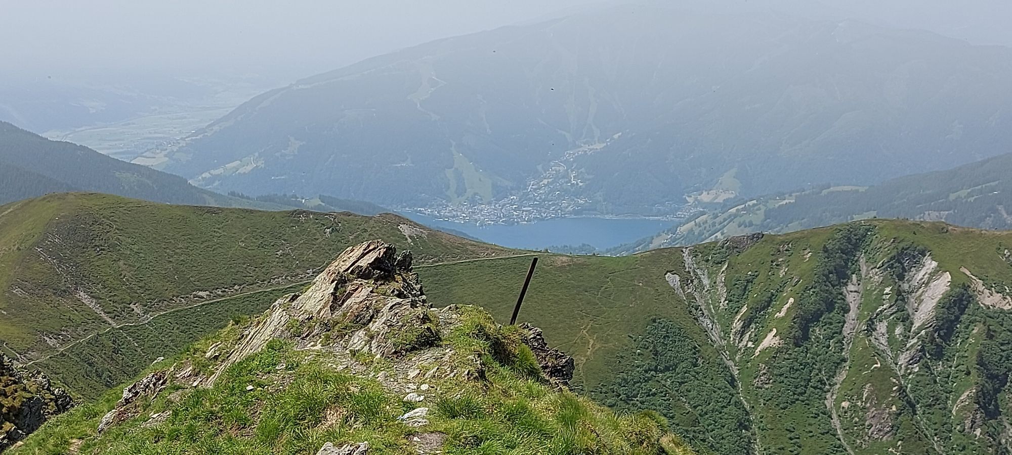
This path starts at restaurant Mitterberg, where you walk along a forest road to Schützingalm and continue from there to Schönwieskopf. After a short snack at the Schönwieskopf you are hiking along a ridge to the Hundstein (Statzerhaus). From there you cross will cross Rupertihaus and return from the Hochhschleipfgut to your starting point.
Sturdy walking shoes, protection agains rain and sun! The weather can change quickly in the mountains!
Taxi or car (10 min approx. from Zell am See)
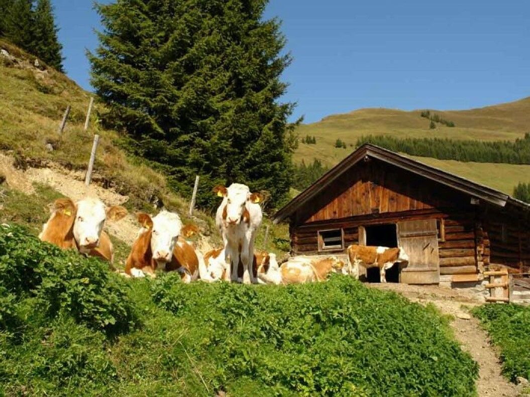
Mountain restaurant Mitterberg
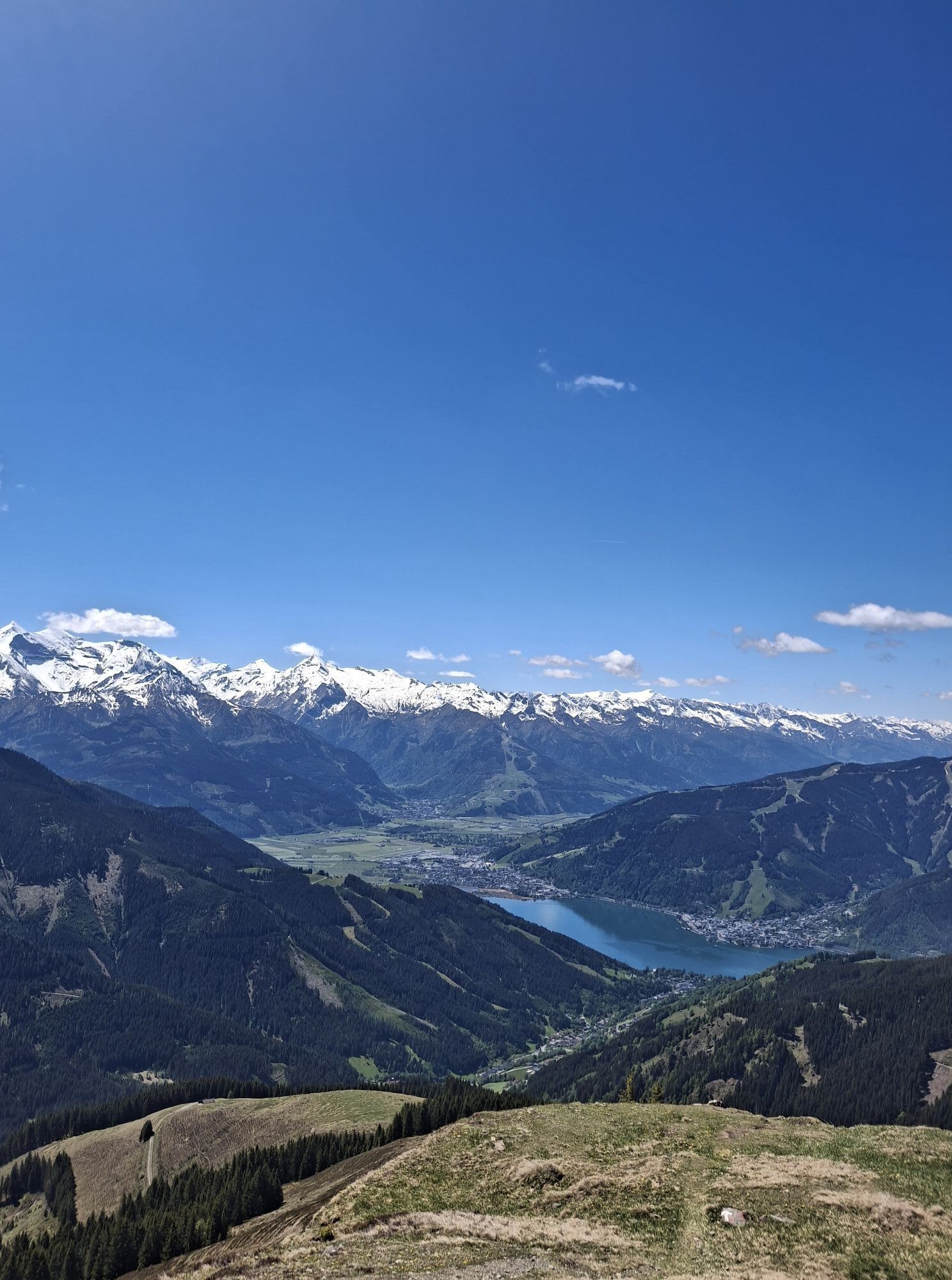
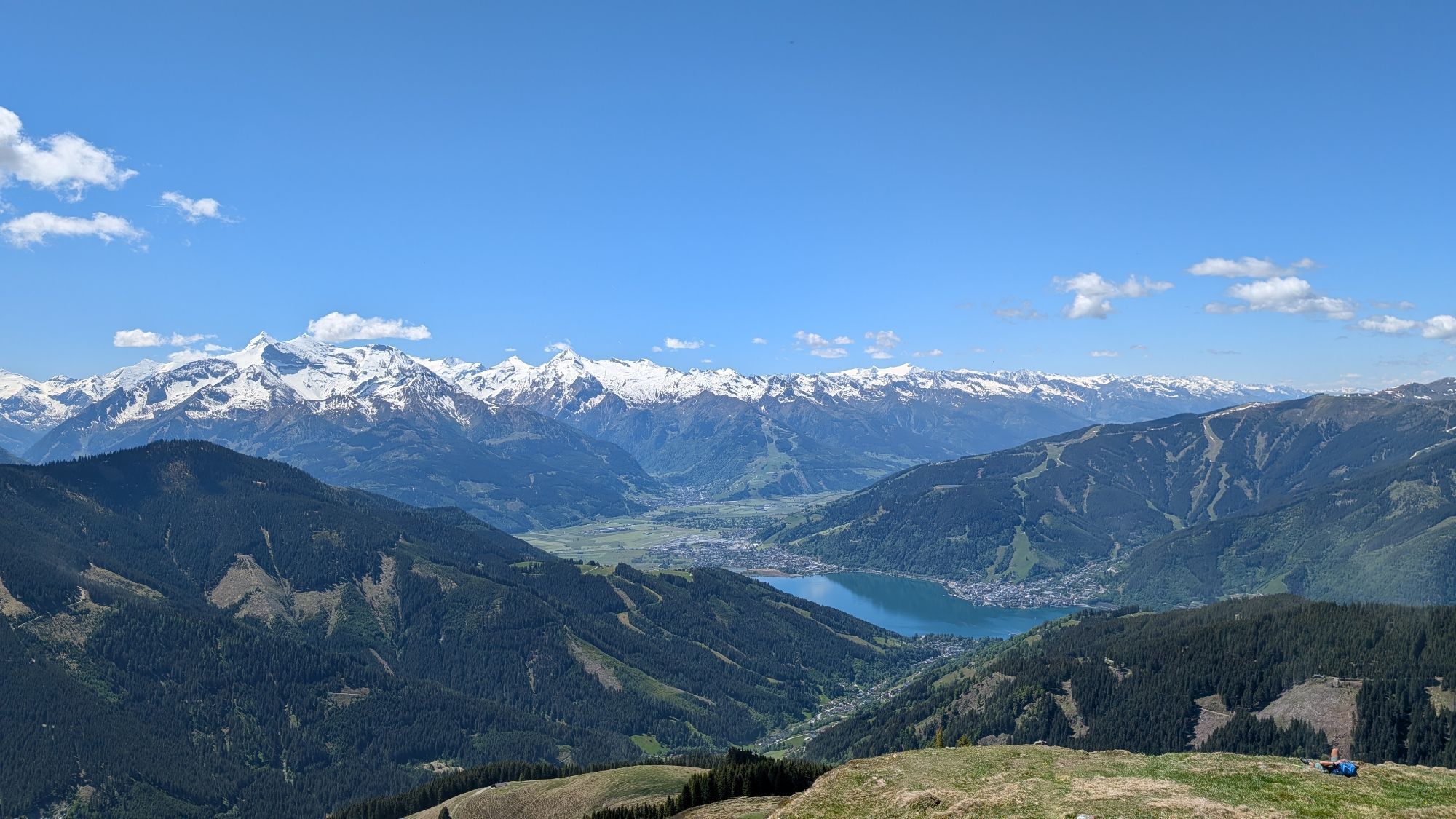
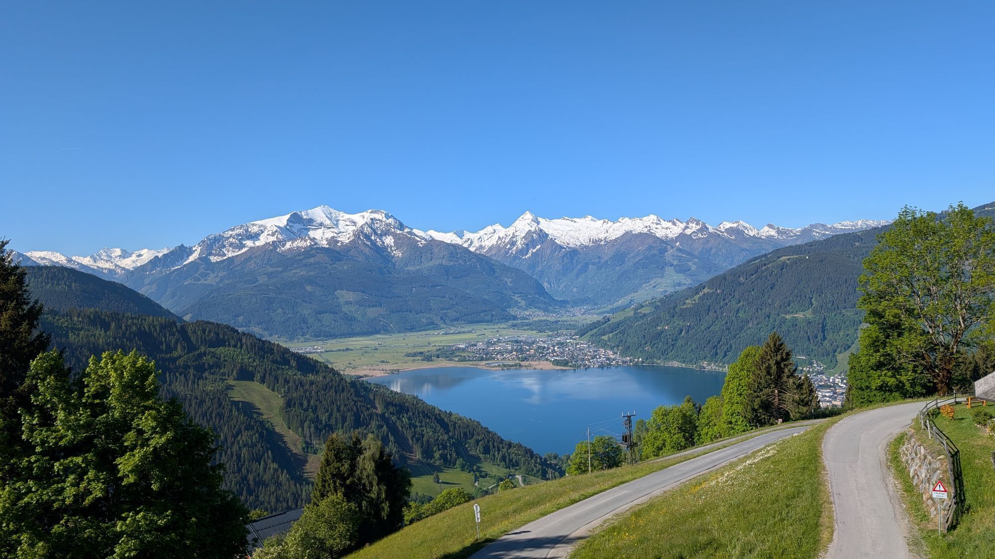
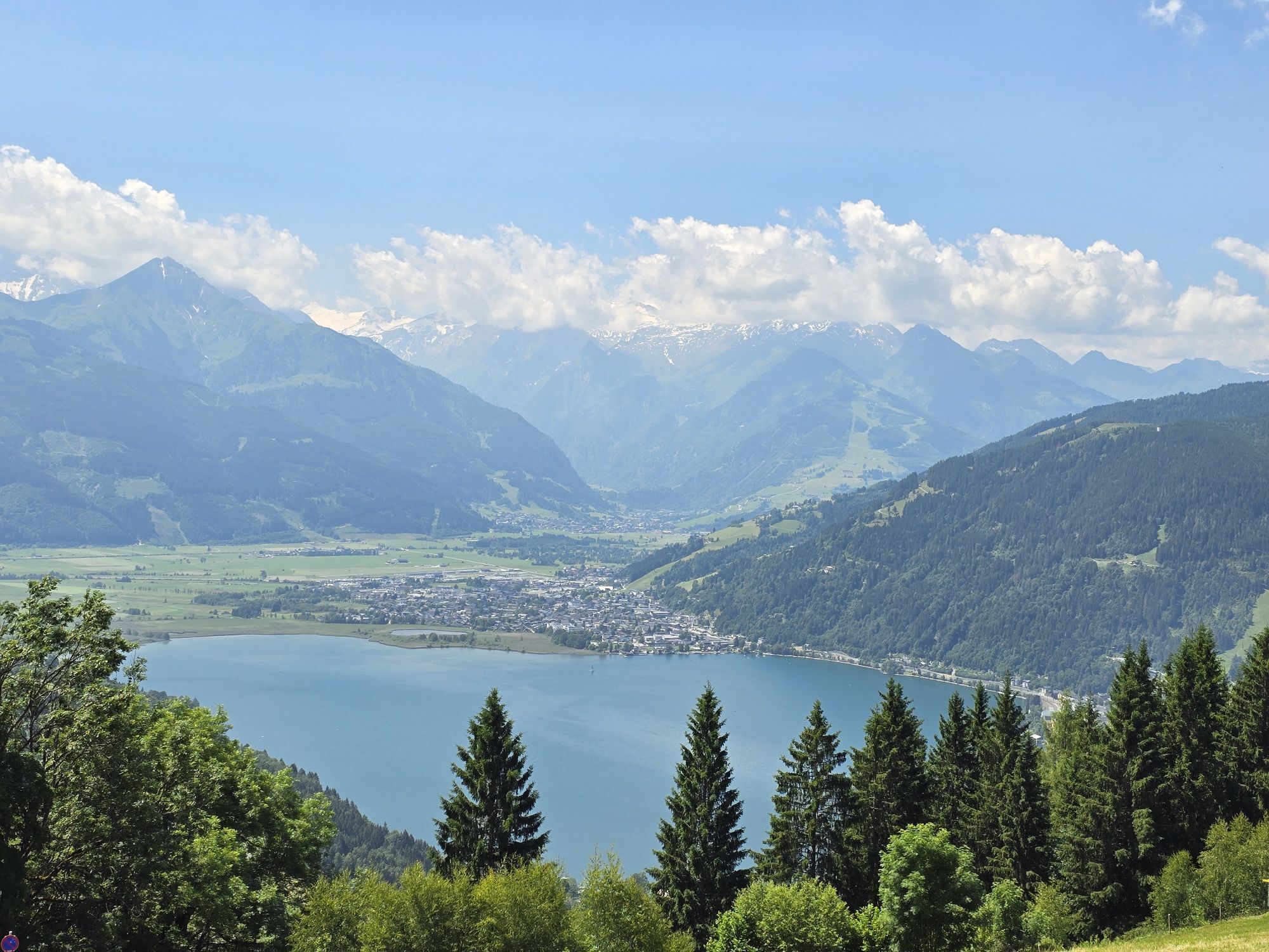
The Schützingalm in Thumersbach near Zell am See is a popular excursion destination for hikers. Situated on the east side of Lake Zell at 1,655 meters above sea level, the beautiful mountain hut, managed by the Bichler family in the summer months, is also an insider tip for tasty classic huts such as Almbrot, Stanitzel or Kaiserschmarren
Popularne wycieczki w okolicy
- 4,8
Summit stormer route Lauskopf
ciężkiWędrówka 8,16 km - 4,2
Maria Alm - Riemannhaus
Wędrówka 3,99 km - 4,8
Summit storming route Taghaube
ciężkiWędrówka 6,25 km - 4,6
Steinalm
światłoWędrówka 2,71 km - 4,2
Schwalbenwand Nr. 80, 81, 82
średniWędrówka 13,0 km - 4,8
Sigmund Thun Klamm, Klammsee, Bürgkogel
światłoWędrówka 4,56 km - 4,3
Peter-Wiechenthaler Hut
średniWędrówka 4,32 km - 4,4
Alpine and hut hike "Hochmaisalm & Steinbockalm"
średniWędrówka 8,10 km - 5,0
Schönfeldspitze 12.08.2020
ciężkiWycieczka wysokogórska 15,3 km - 4,5
Sigmund Thun Klamm
światłoWędrówka 3,10 km

Wędrówki i tropienie


Nie przegap ofert i inspiracji na następne wakacje
Twój adres e-mail została dodana do listy mailingowej.