







Geißstein (via Zwölferkogel)

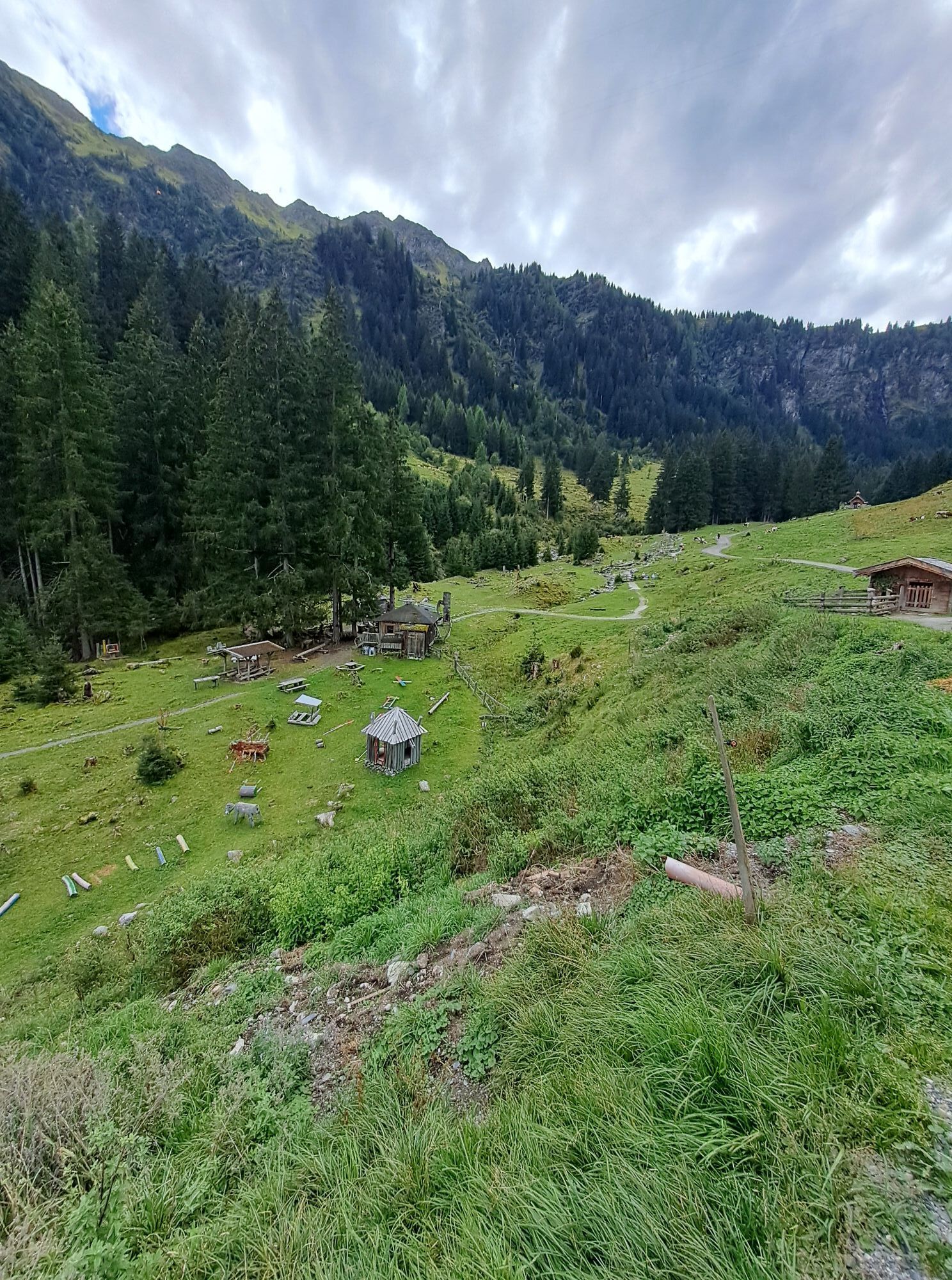
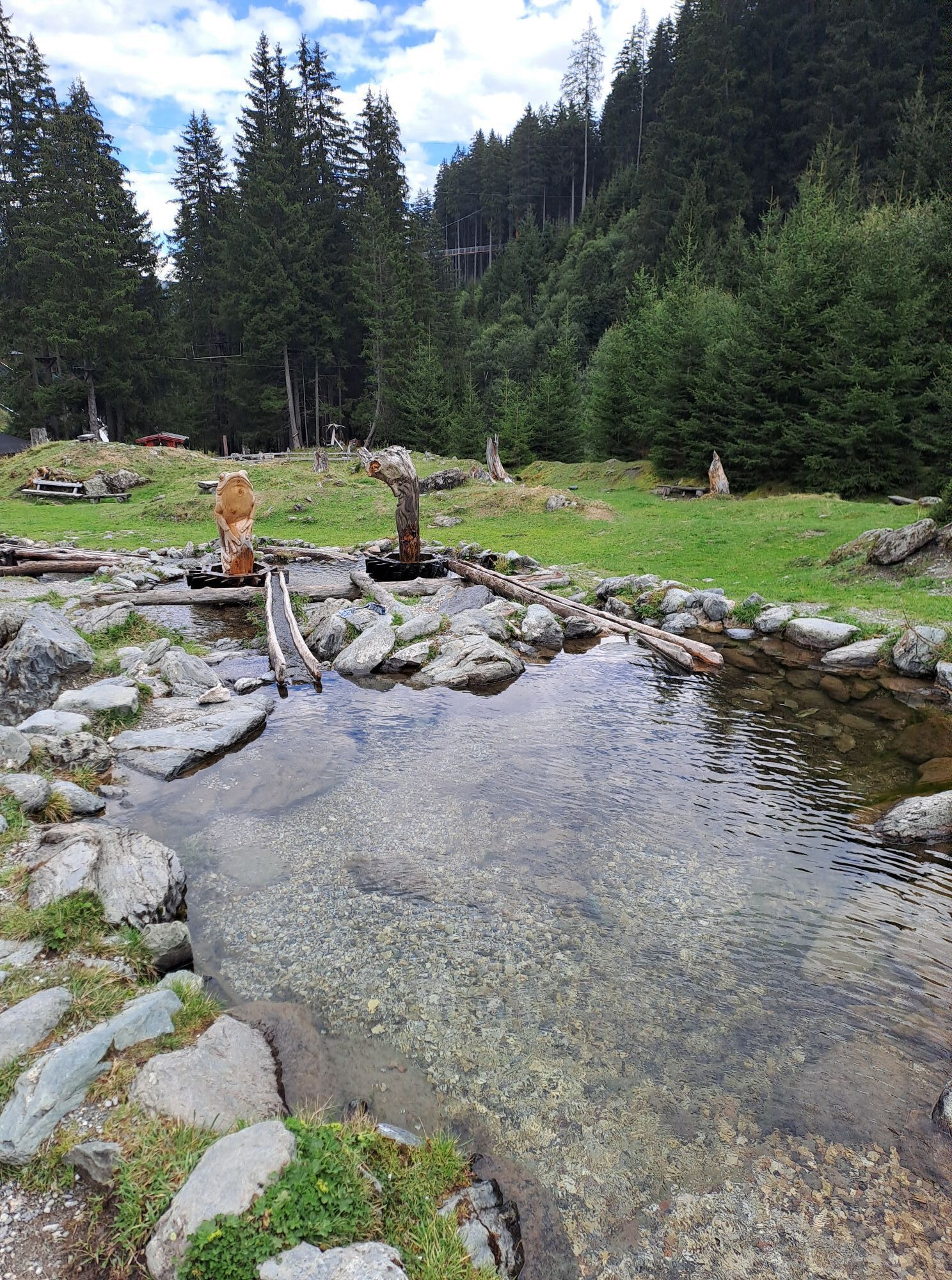
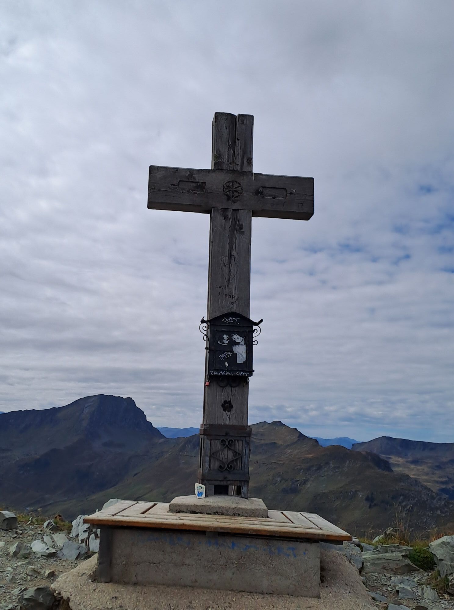
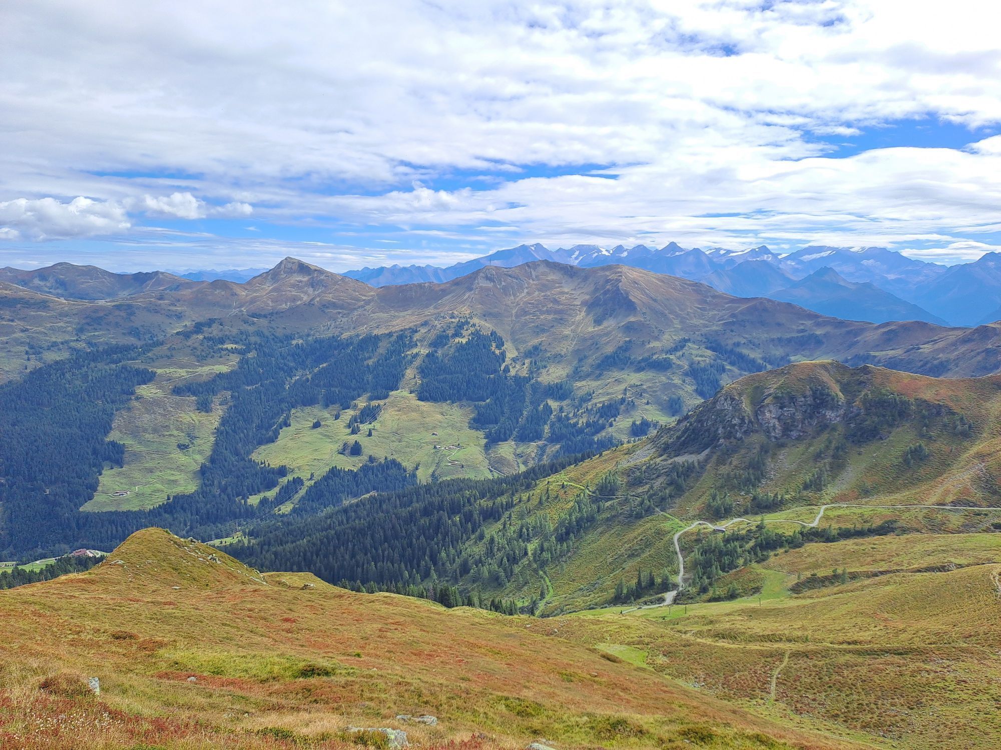
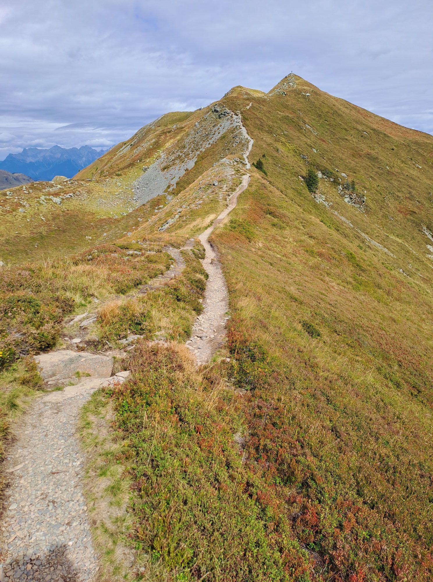
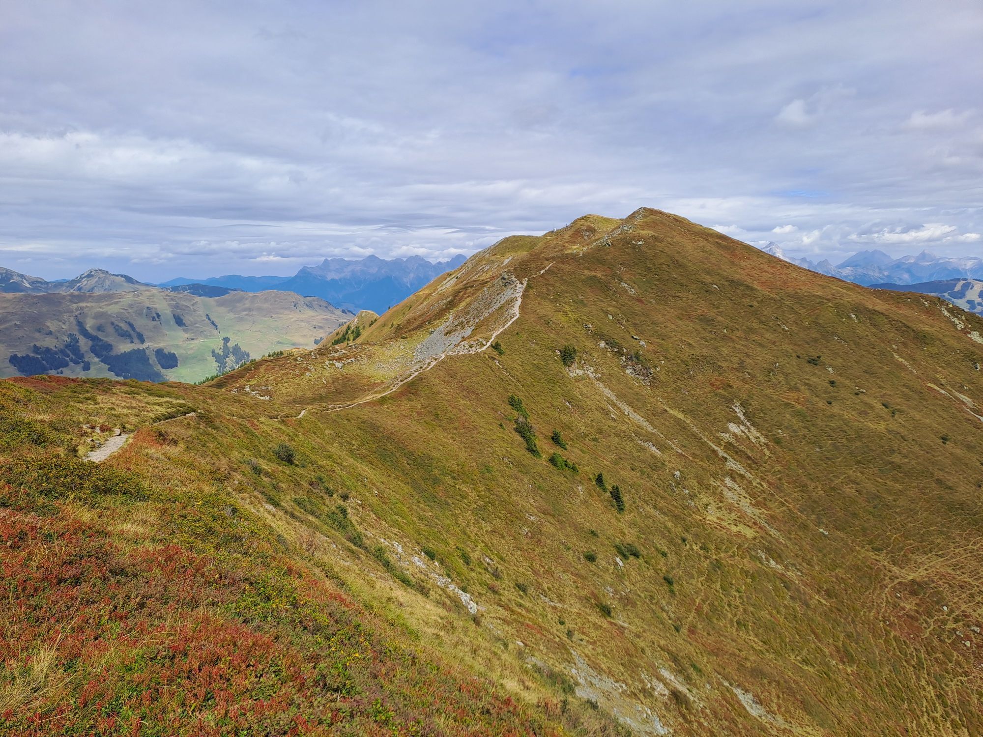
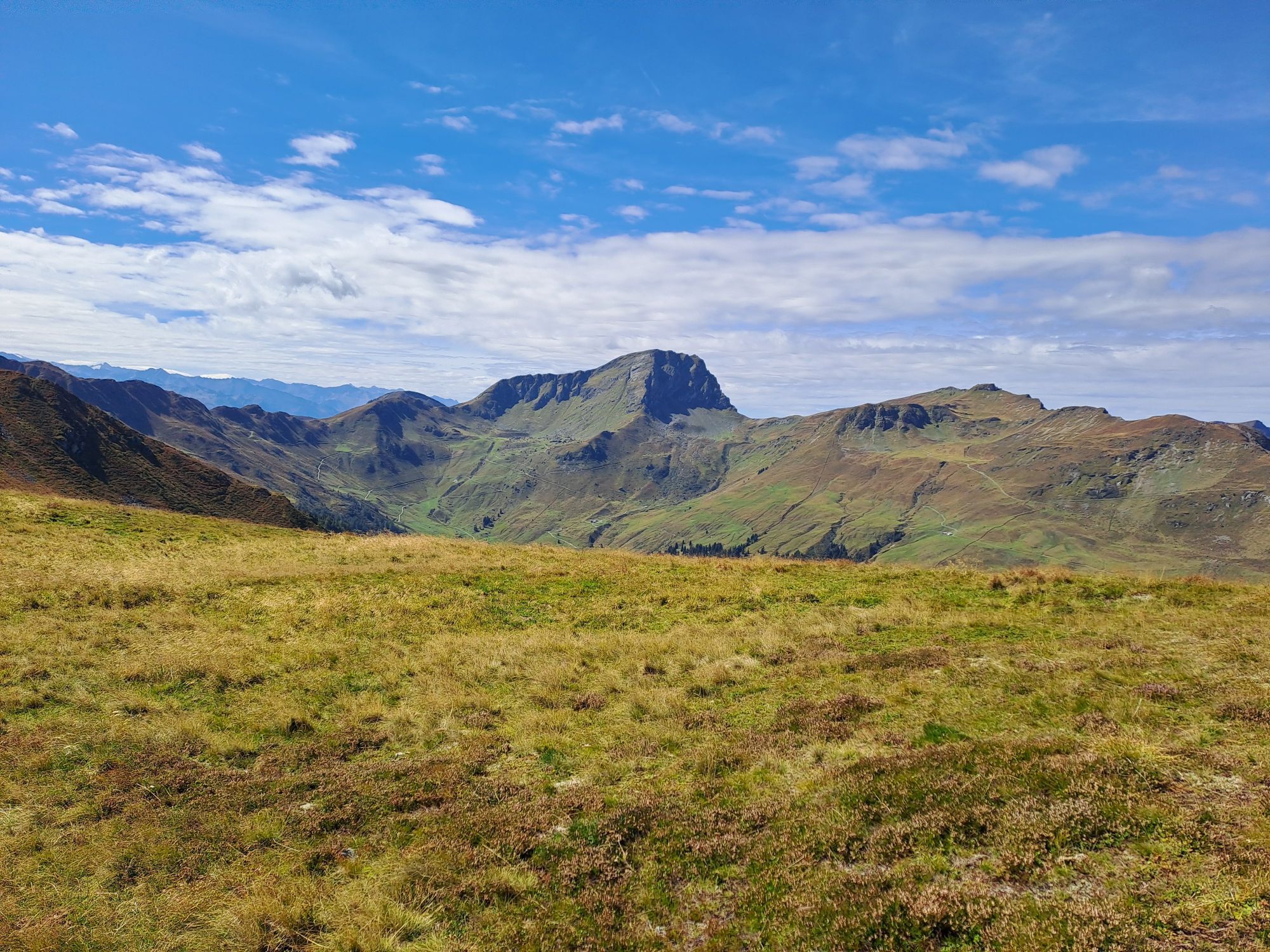
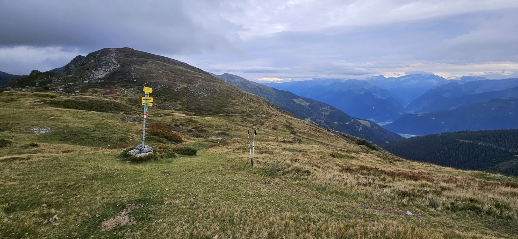
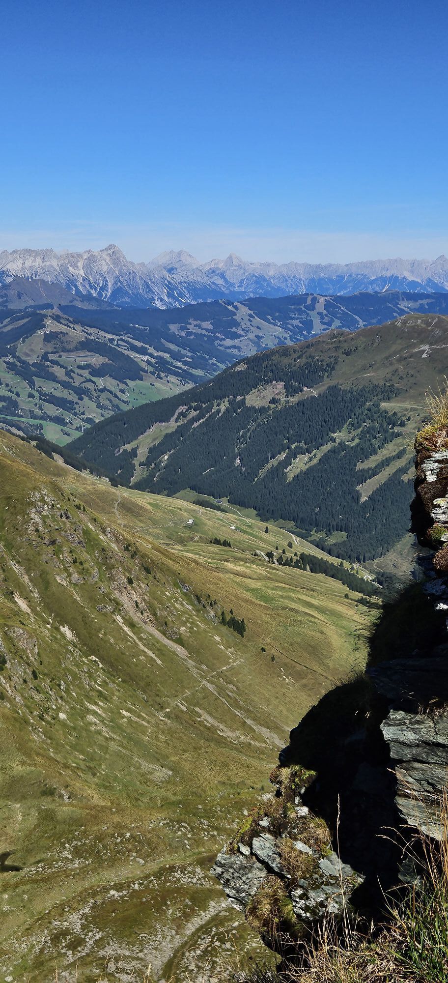
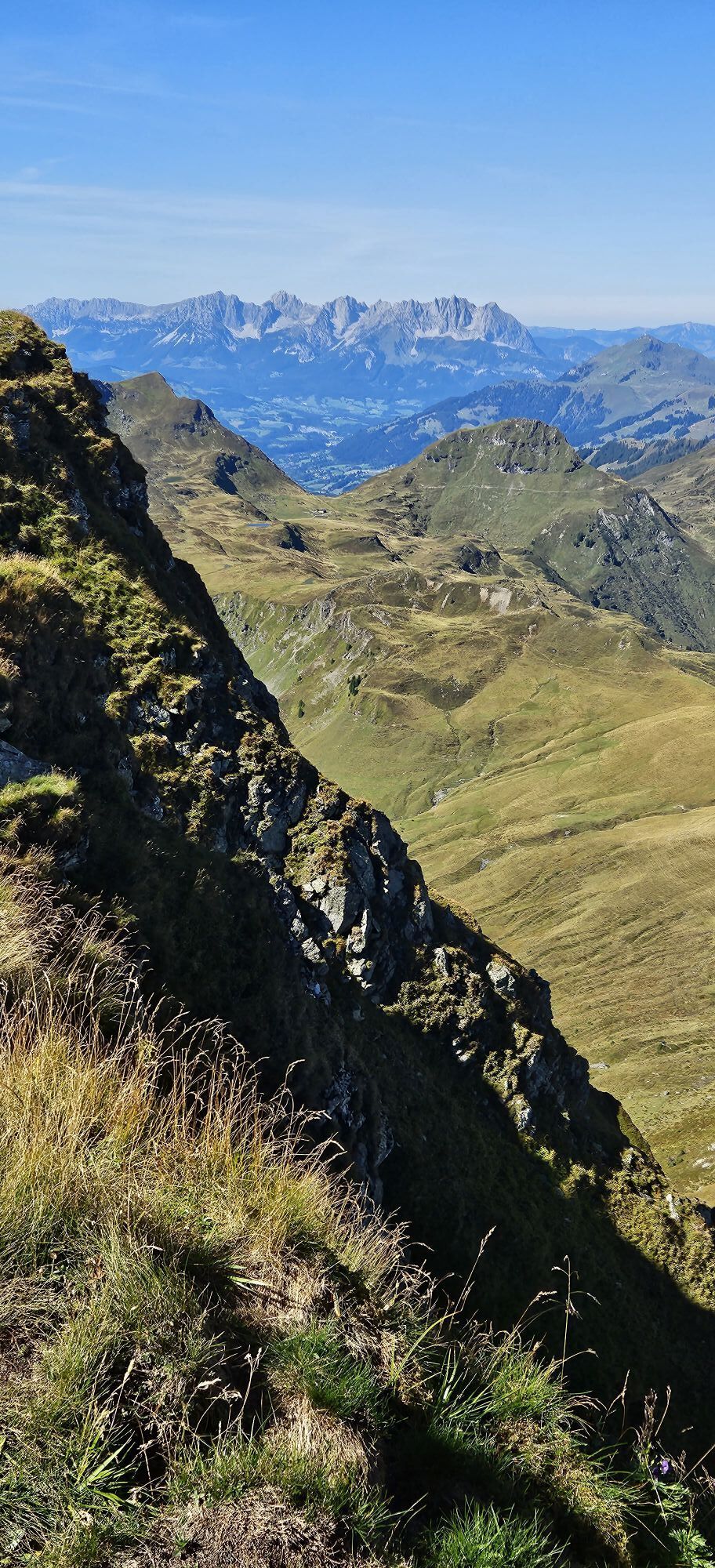
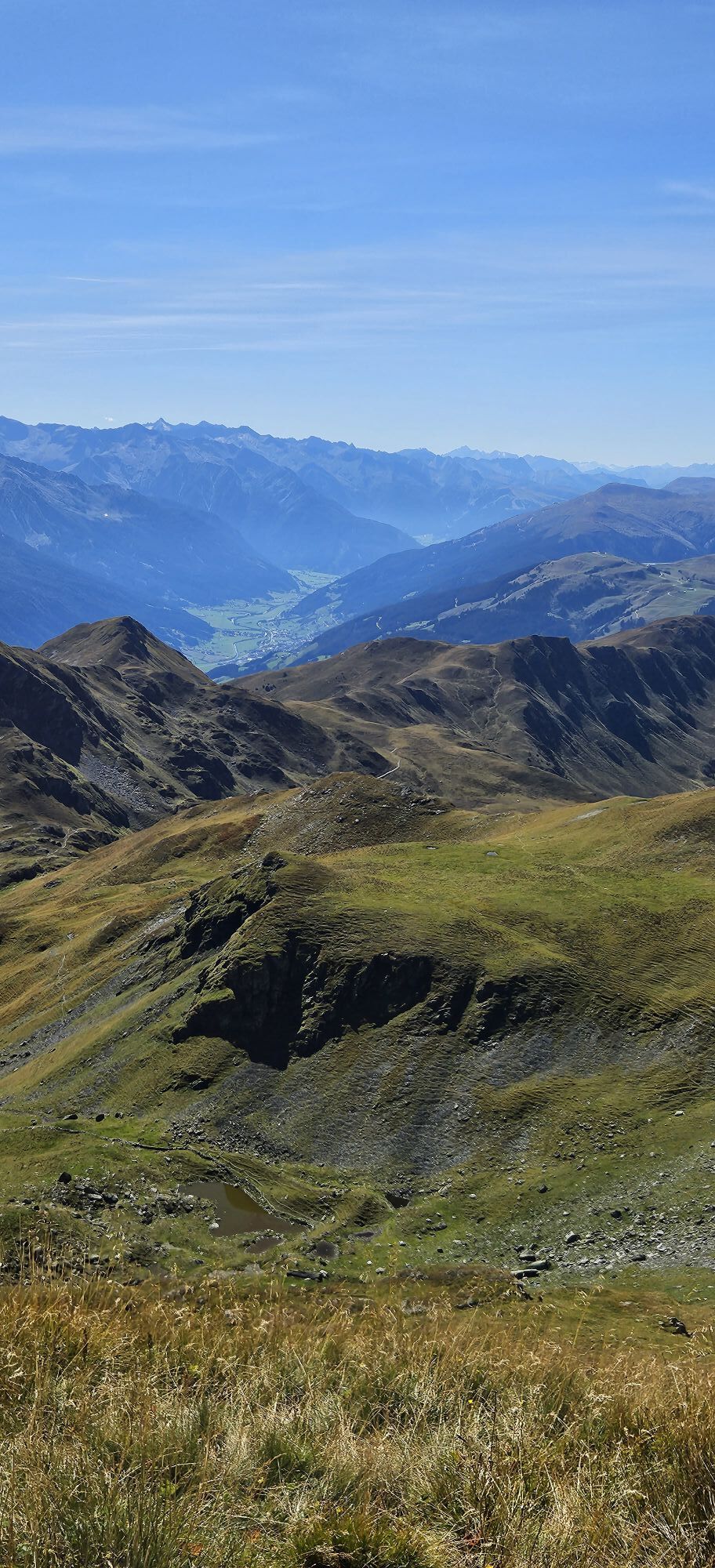
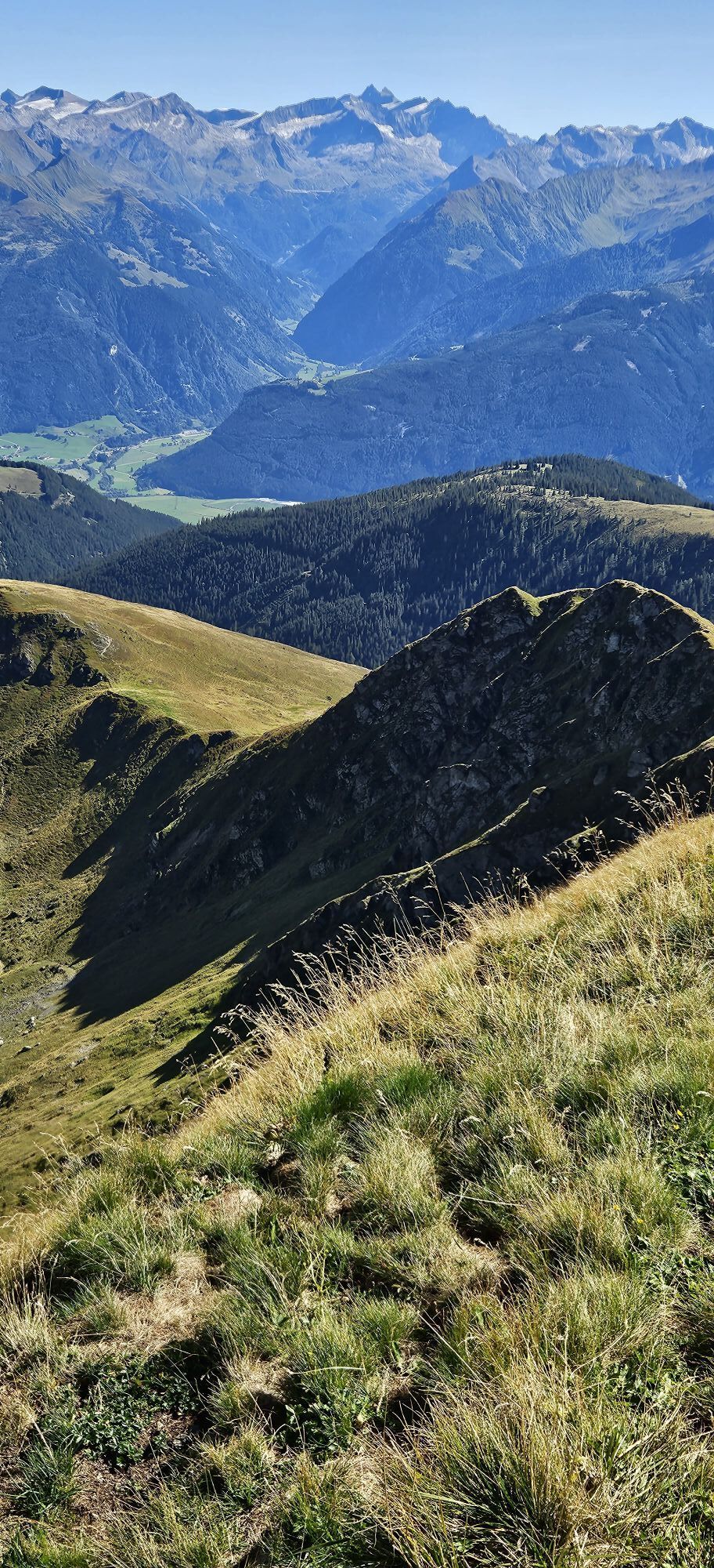
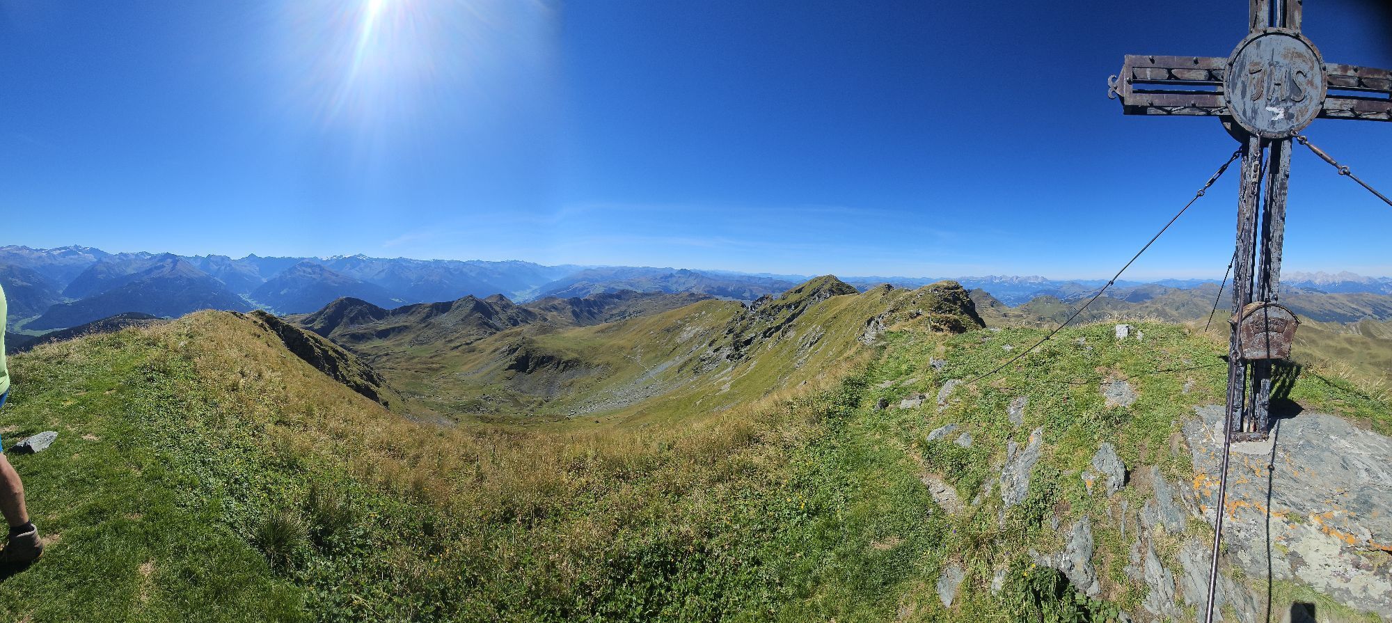
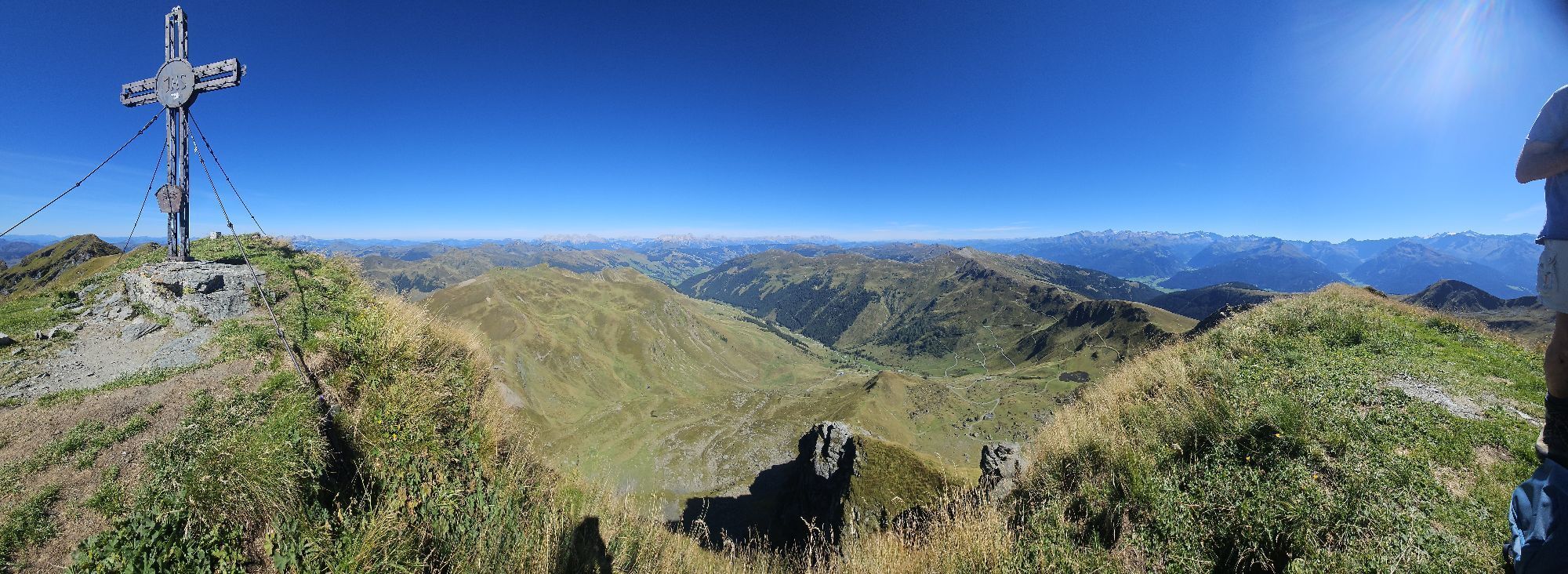
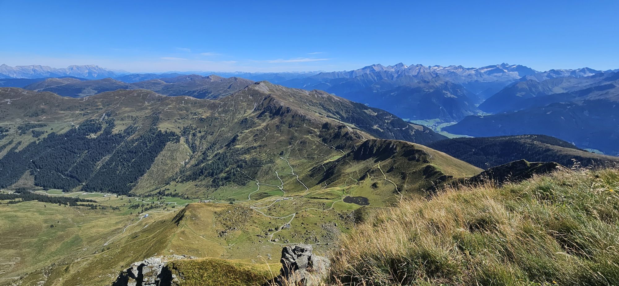
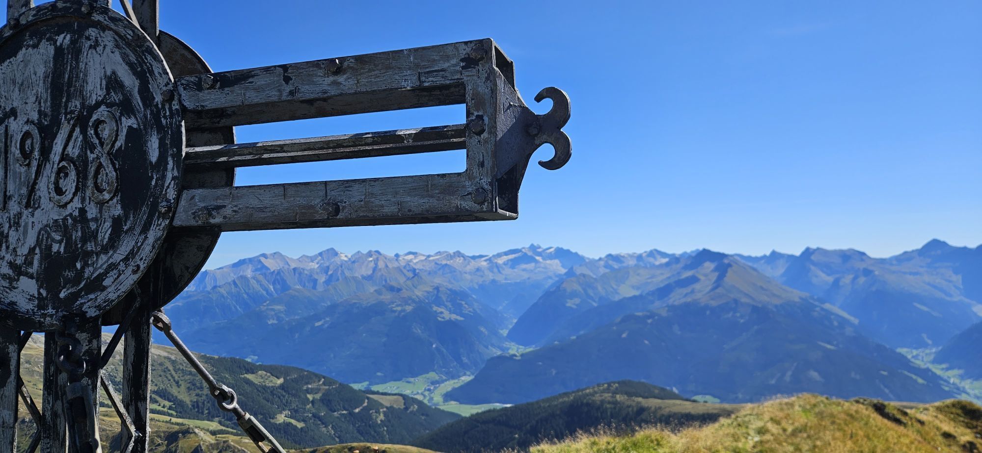
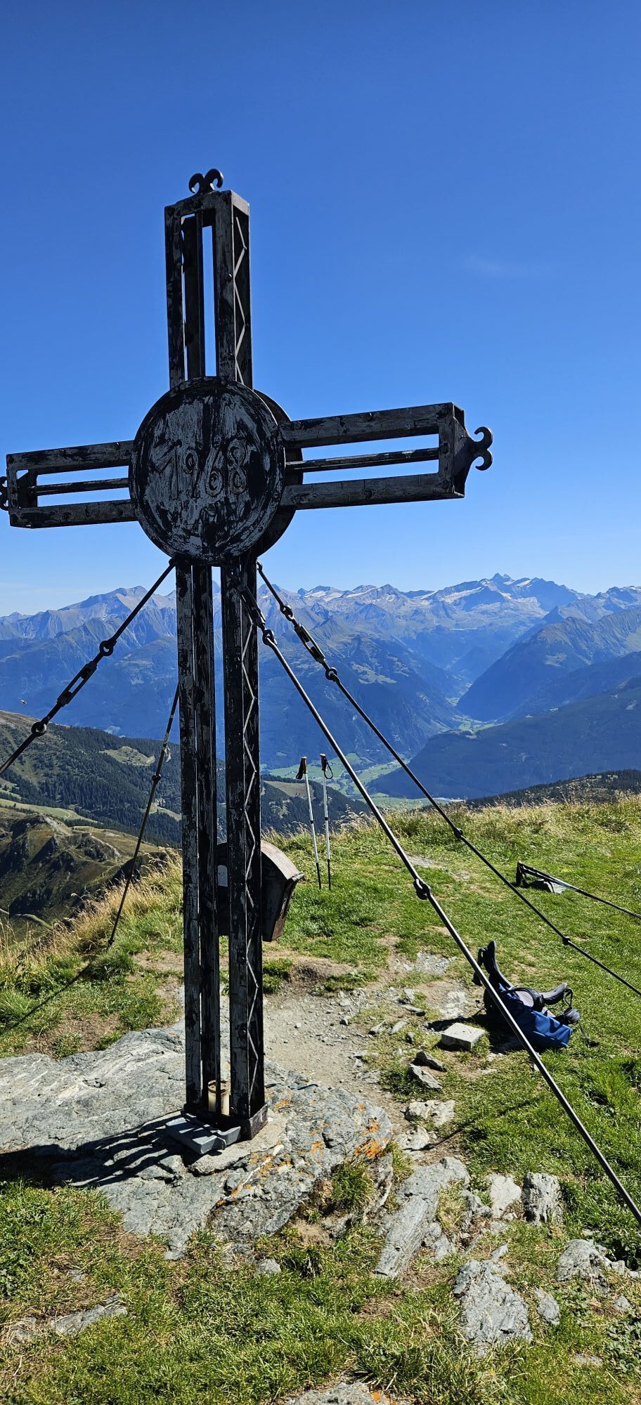
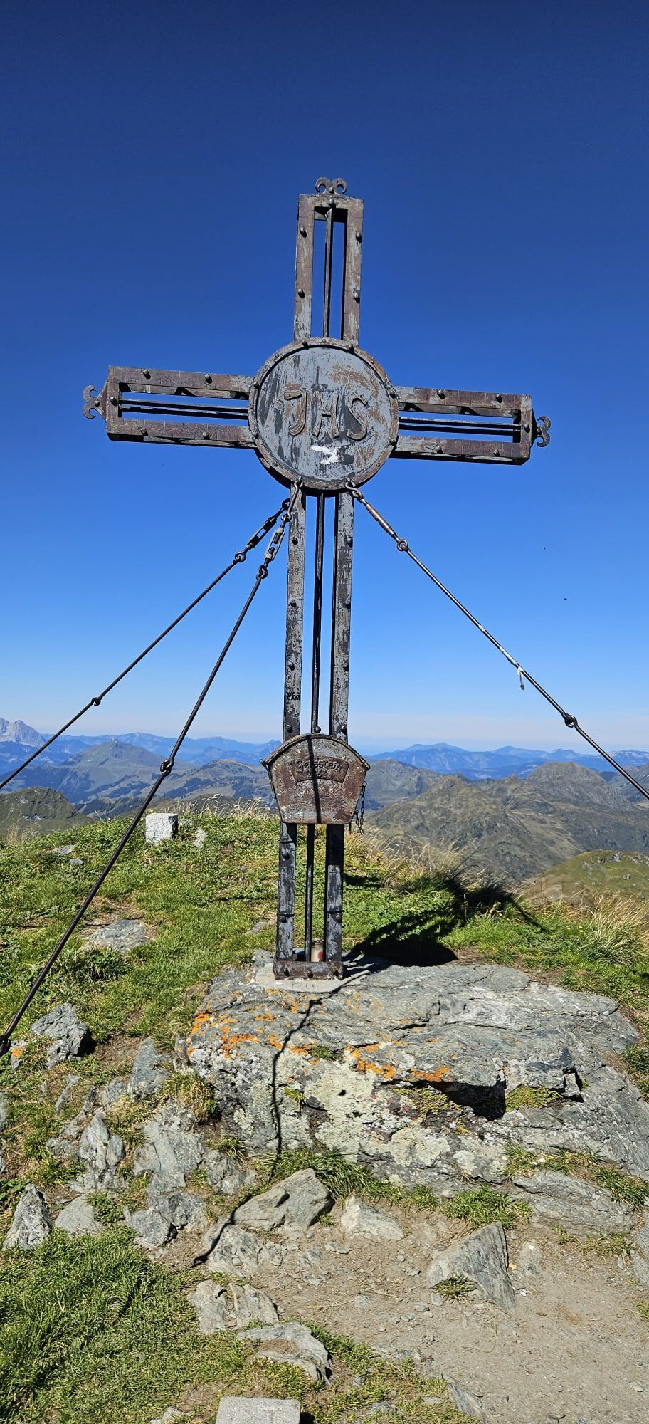
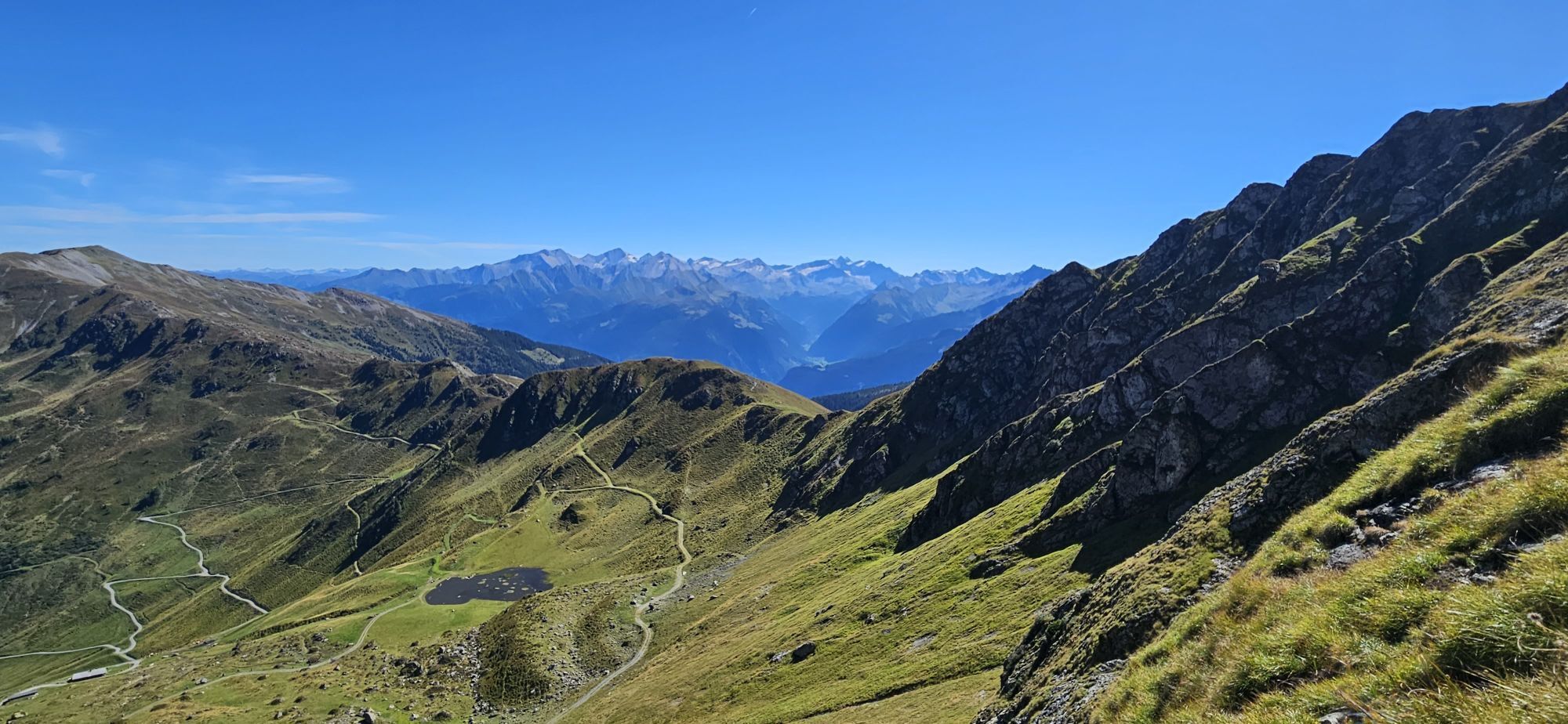
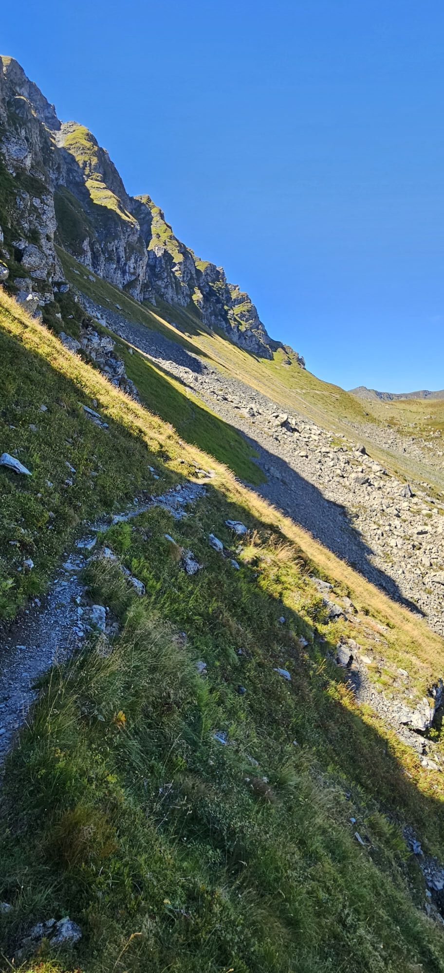
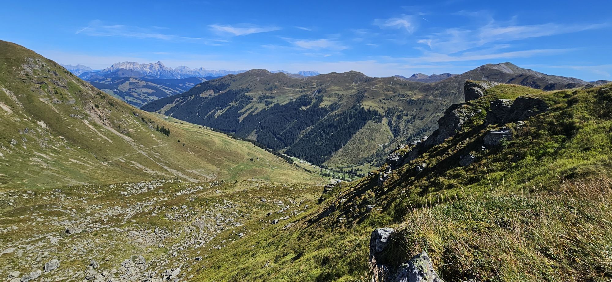
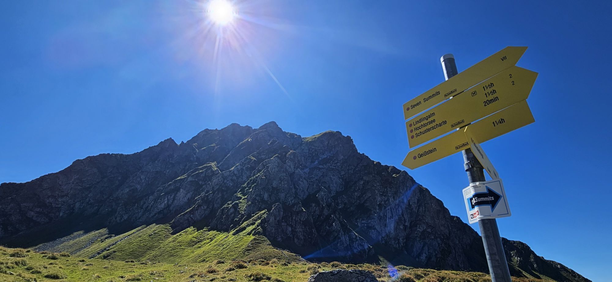
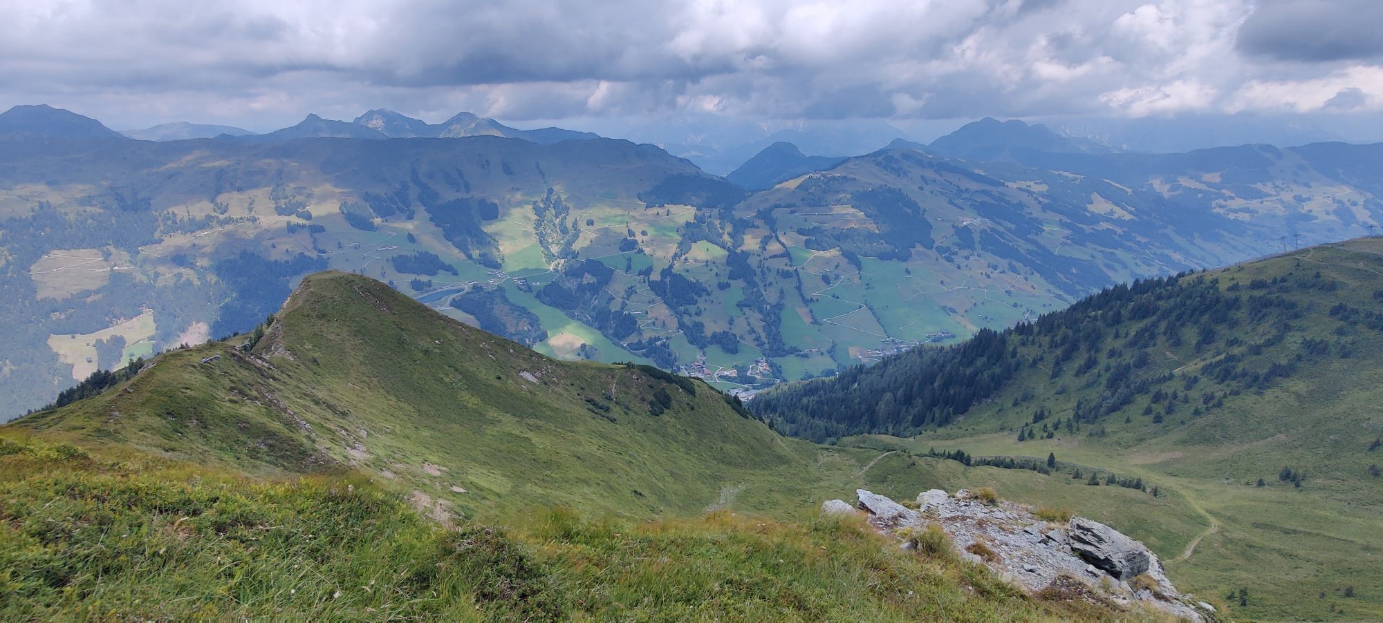
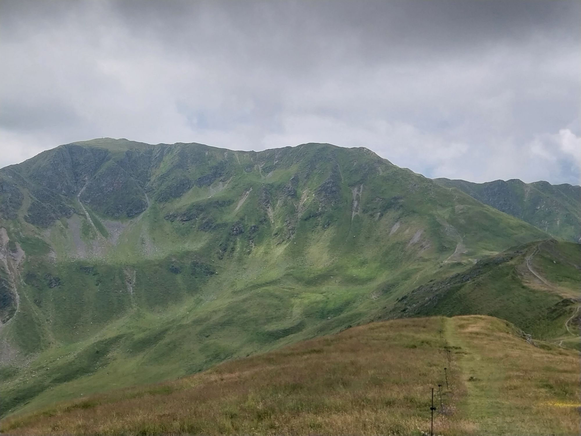
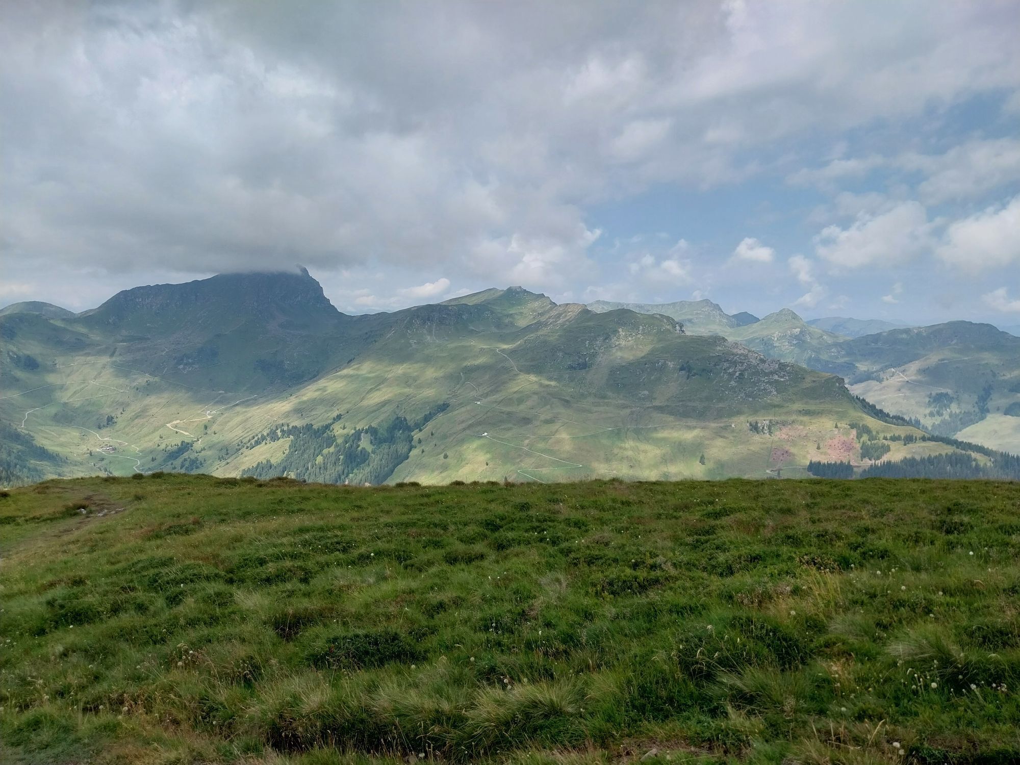
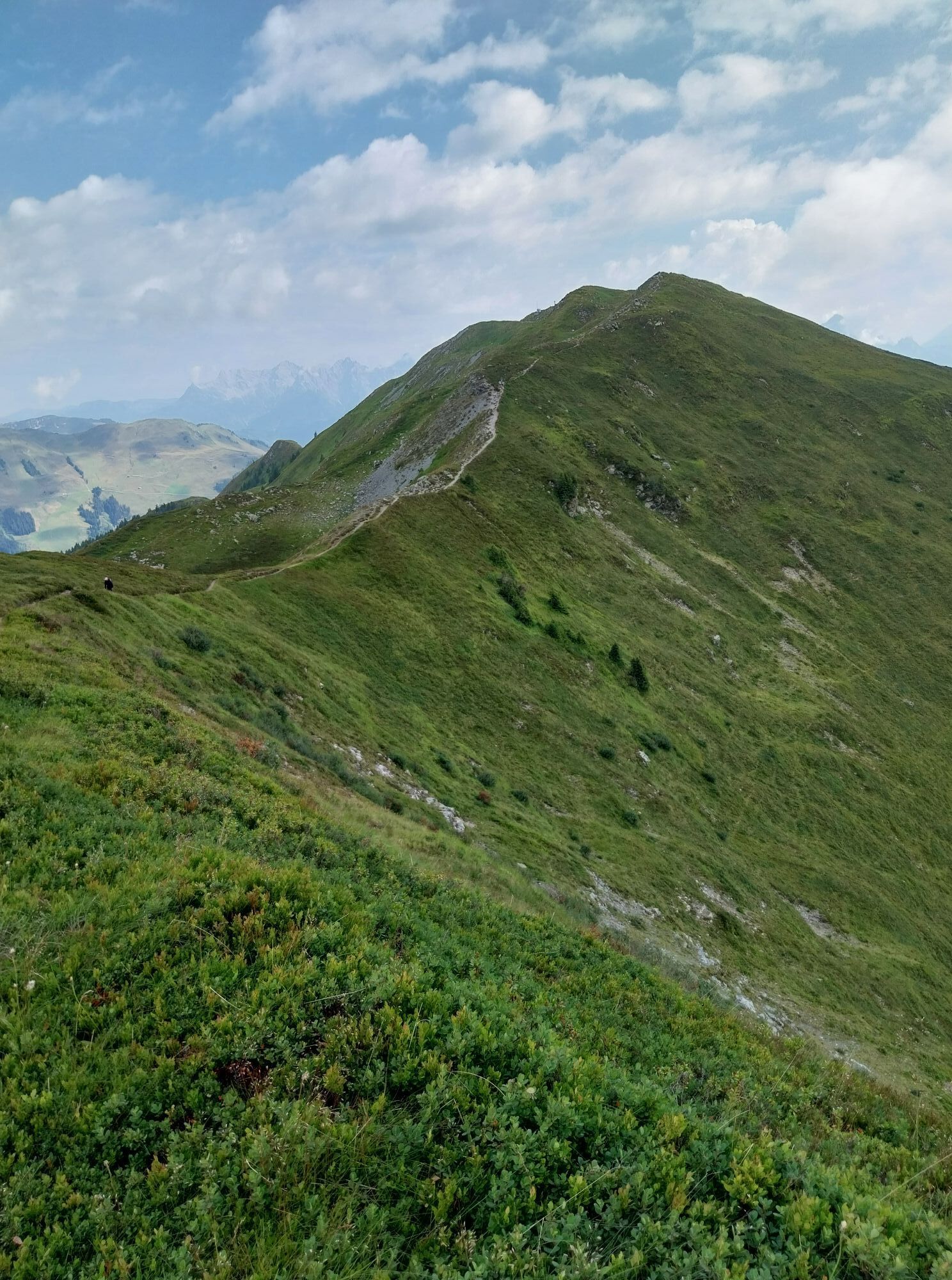
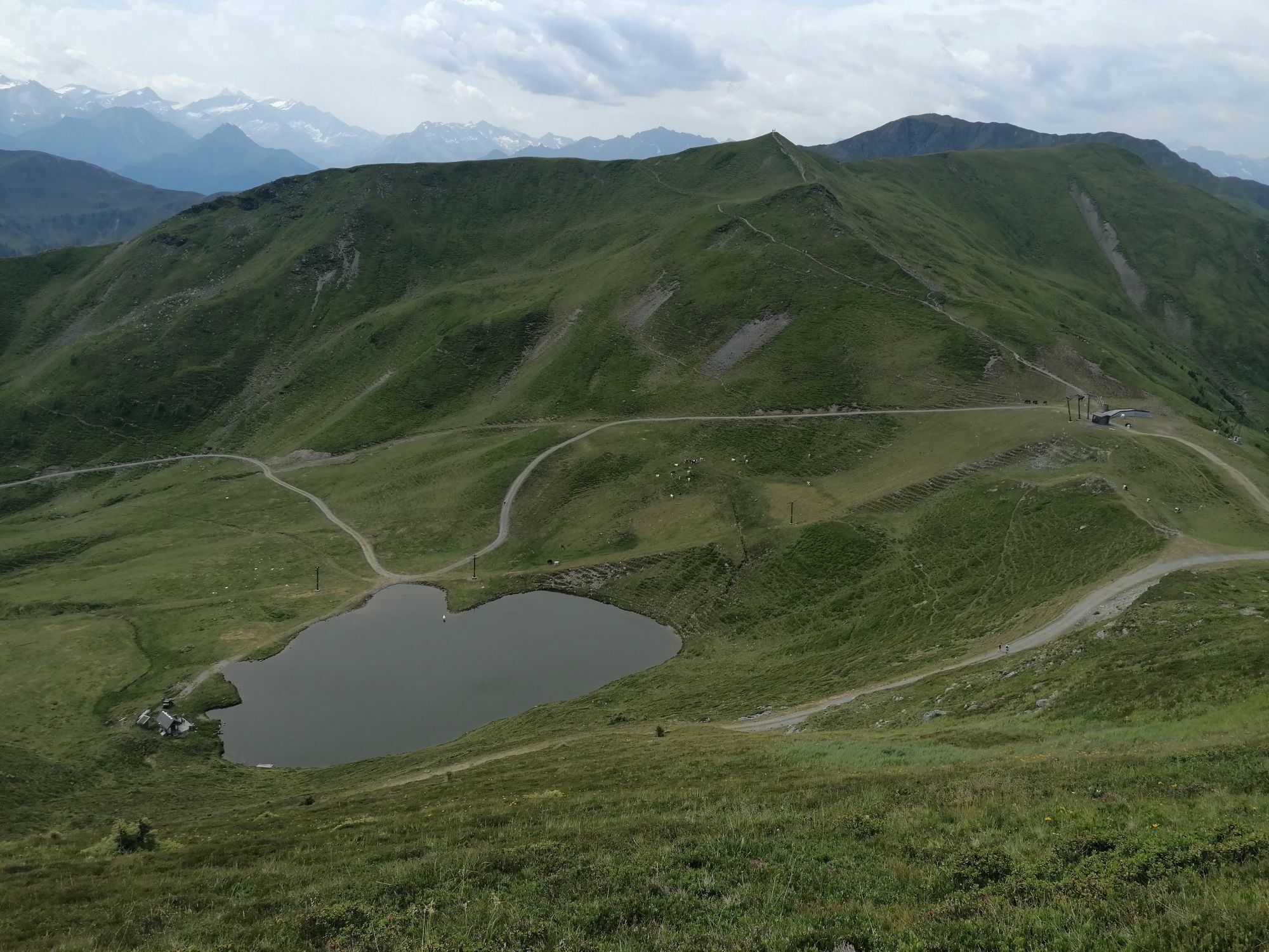
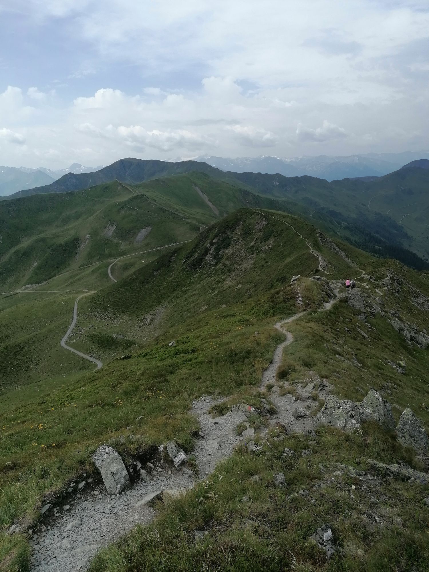
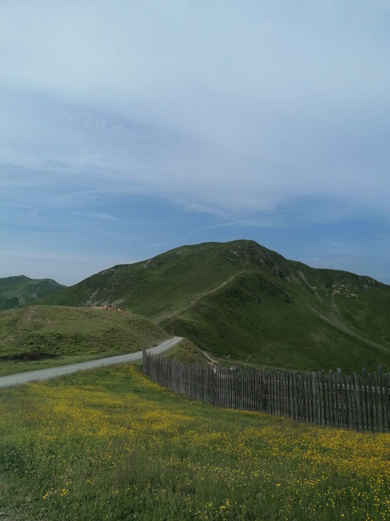
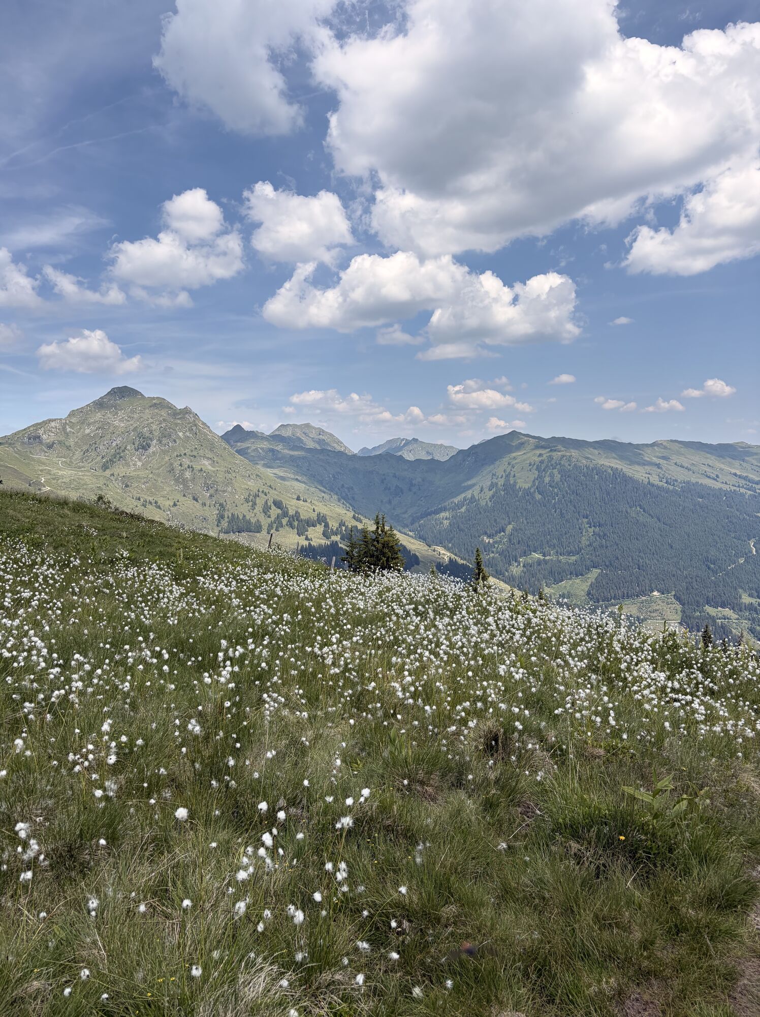
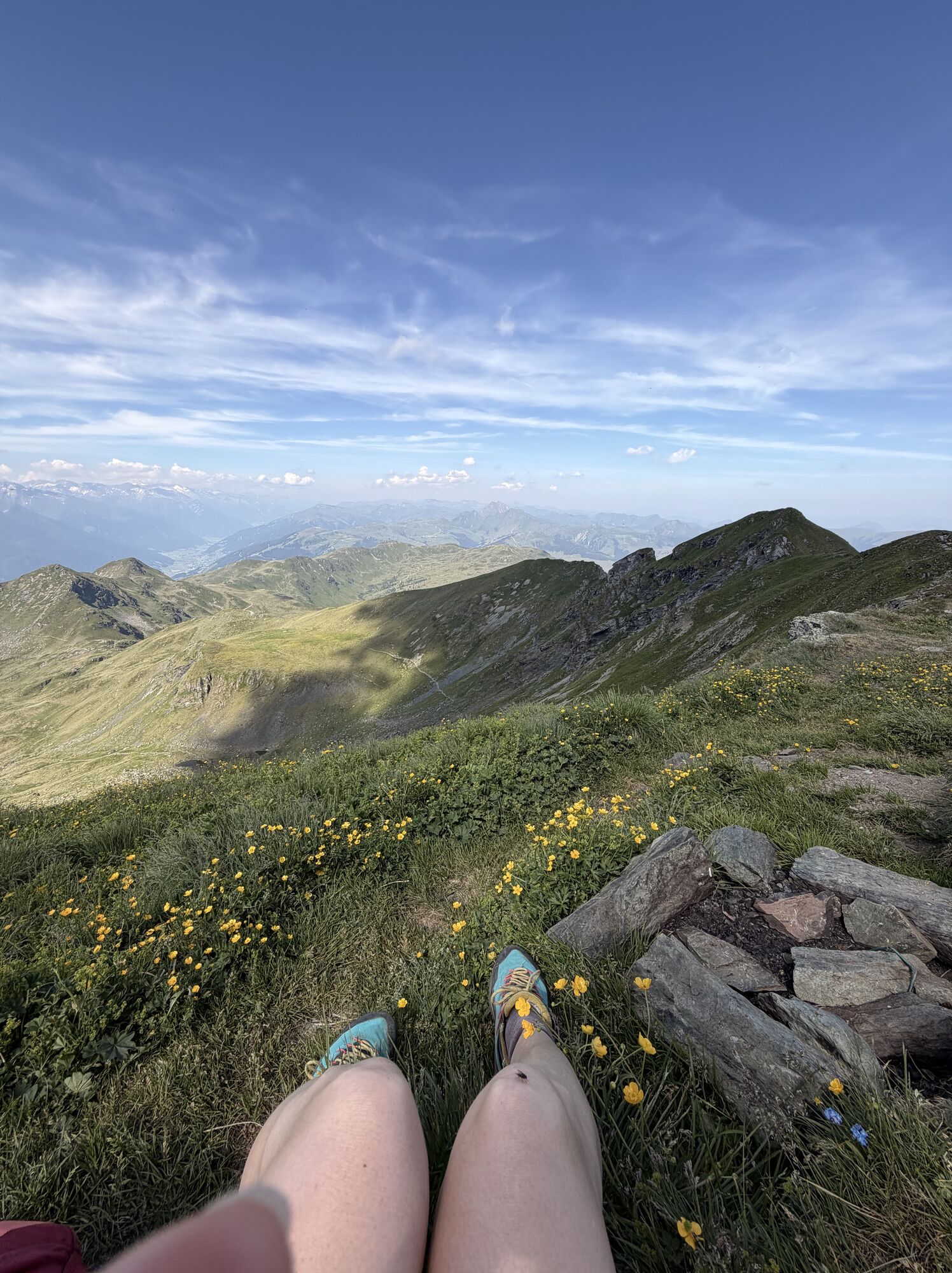
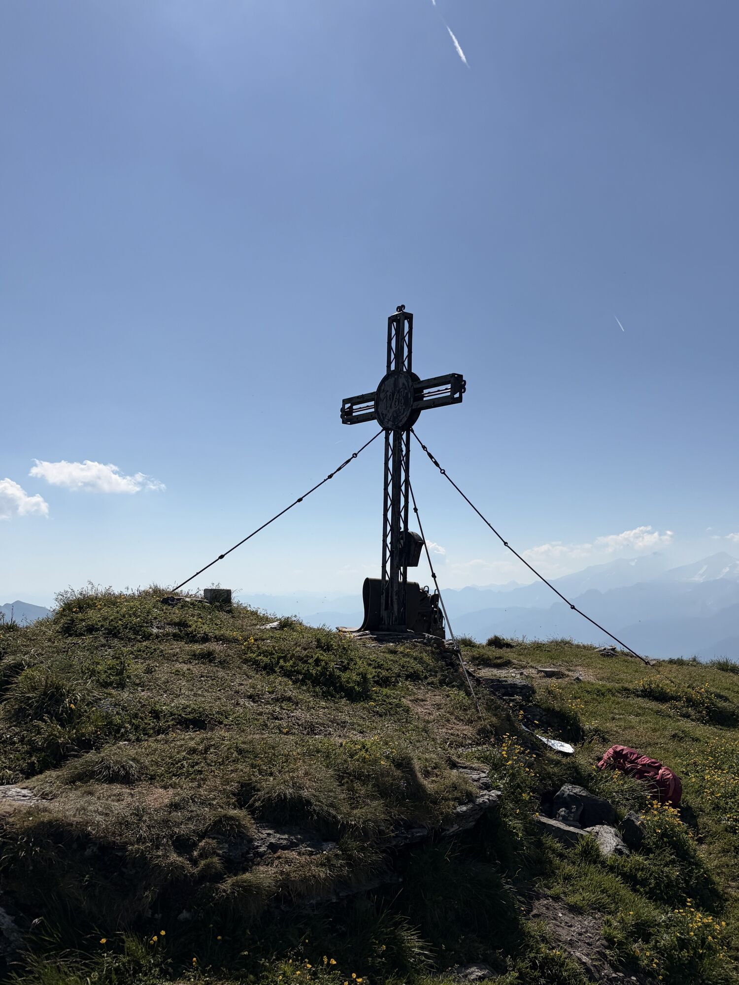
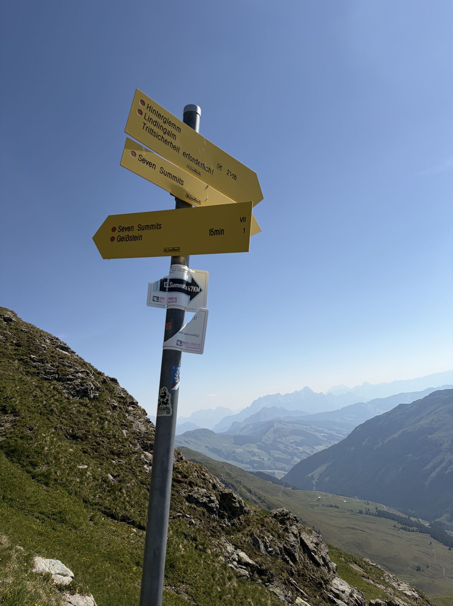
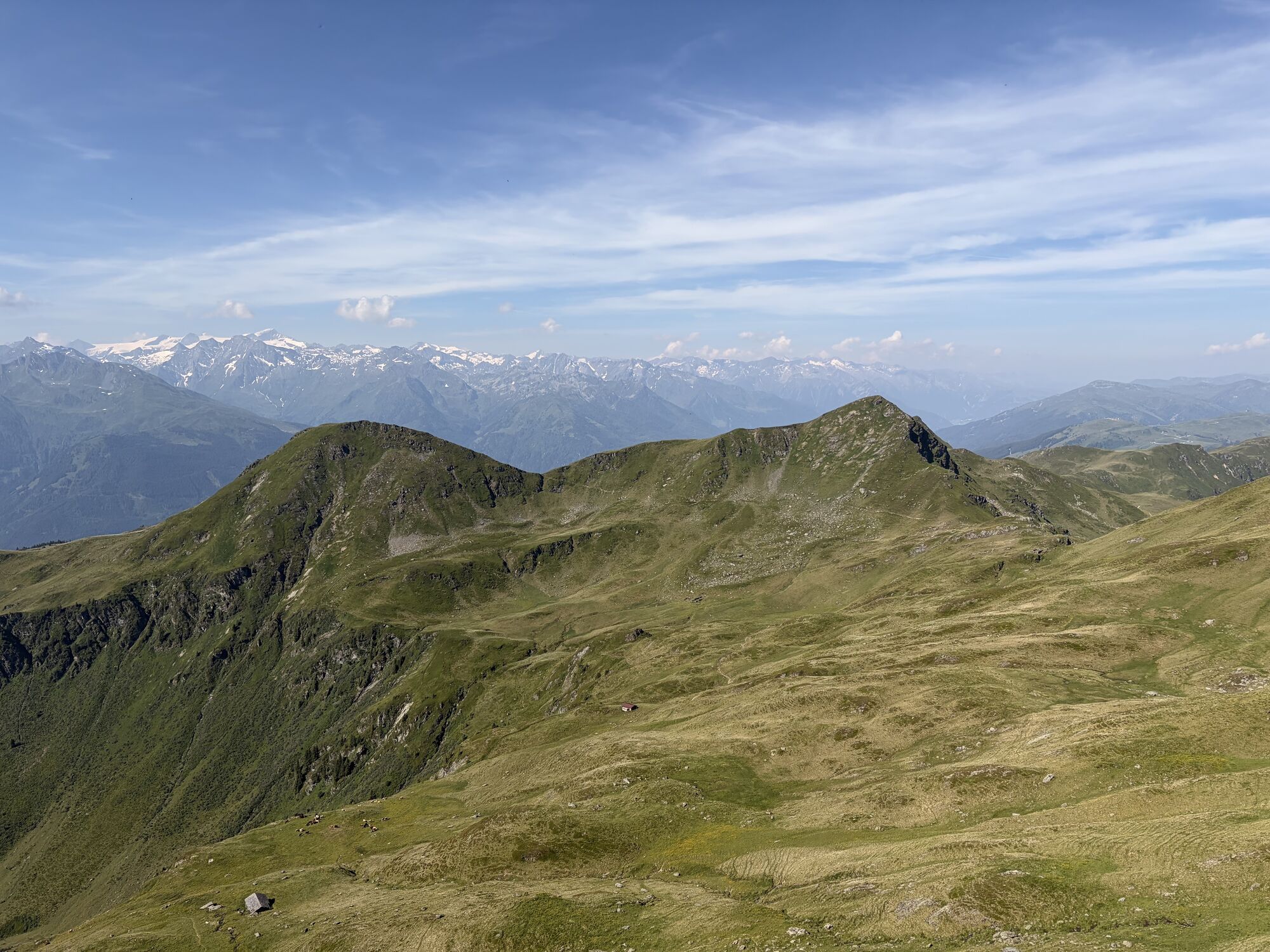
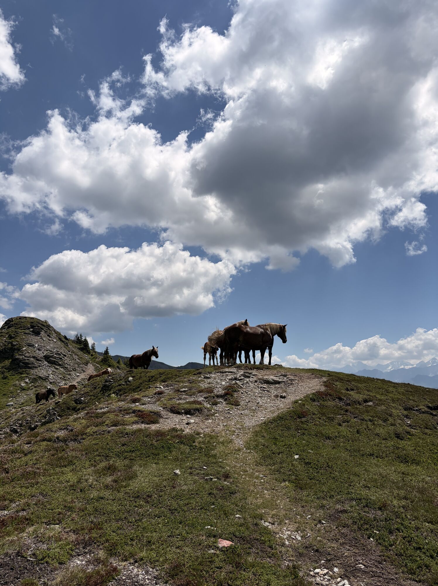
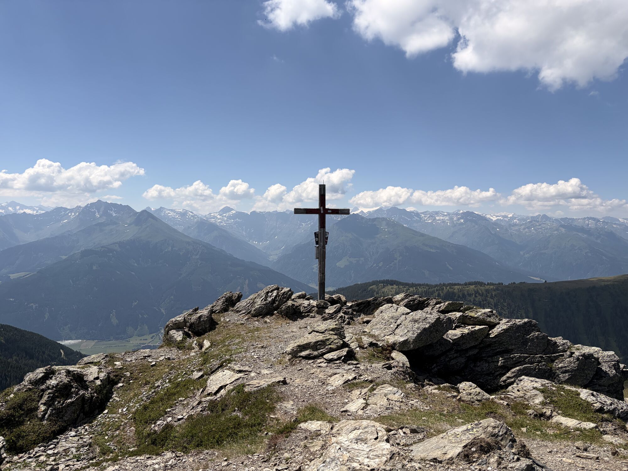
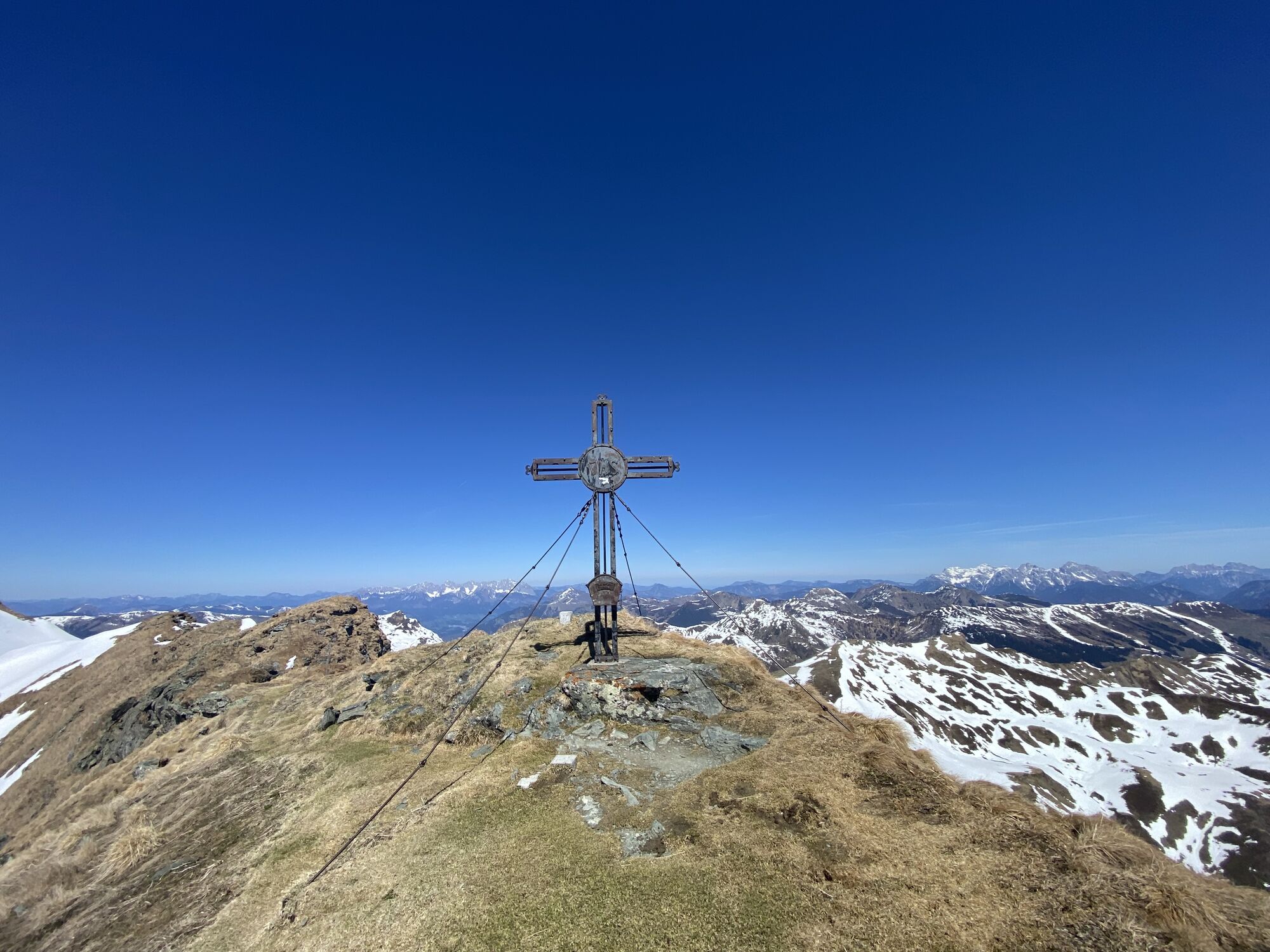
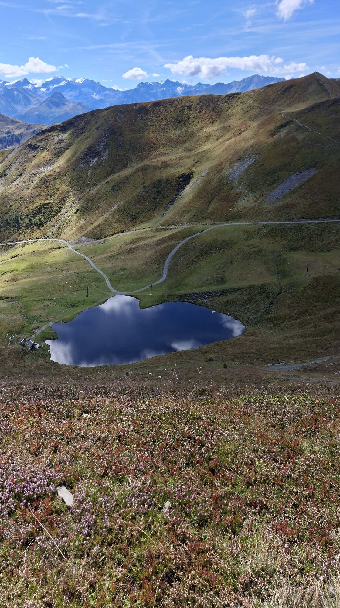
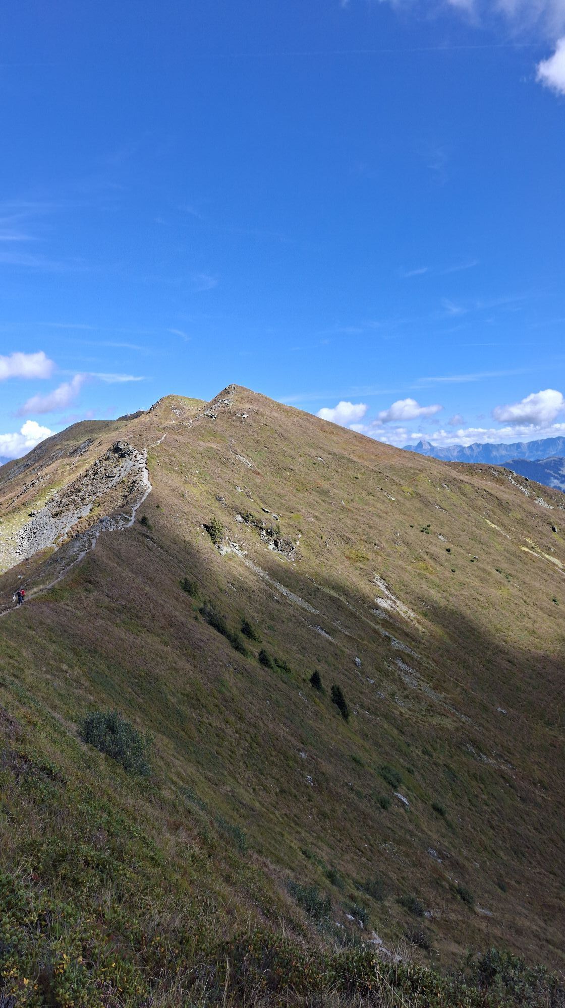
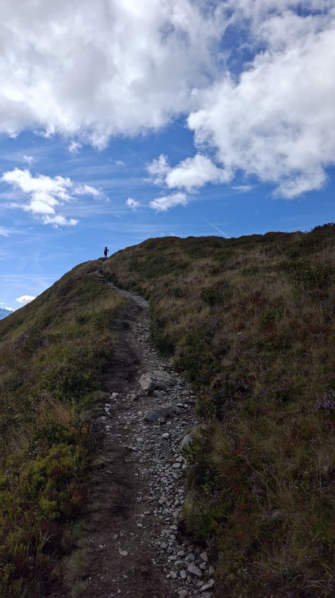
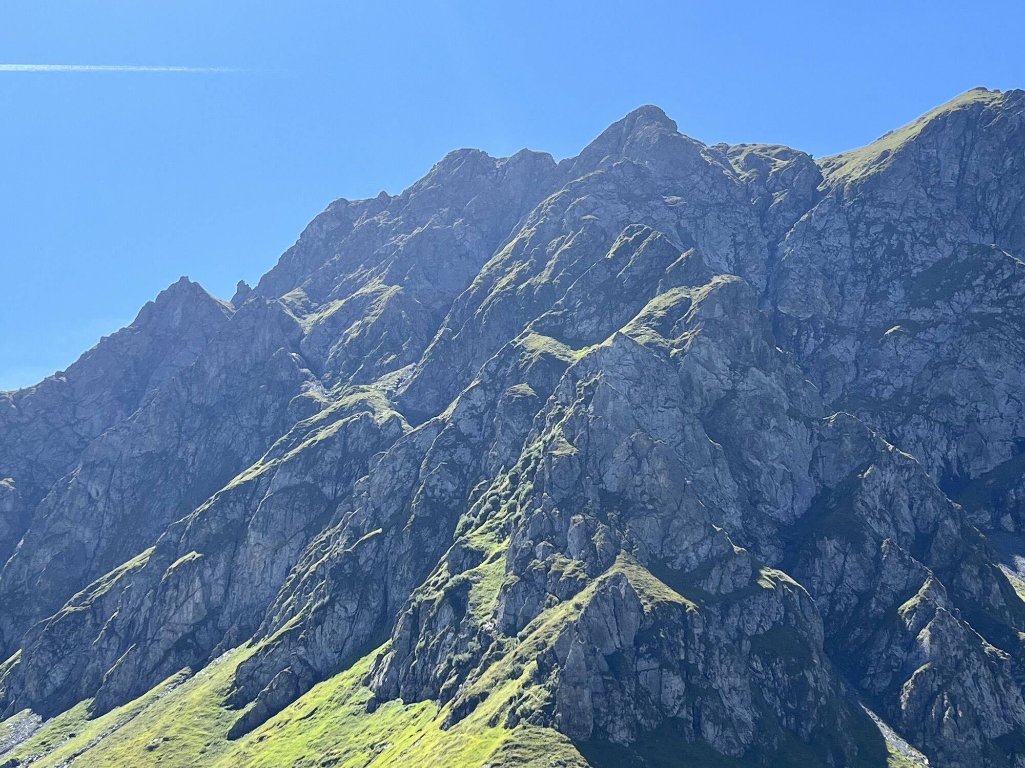
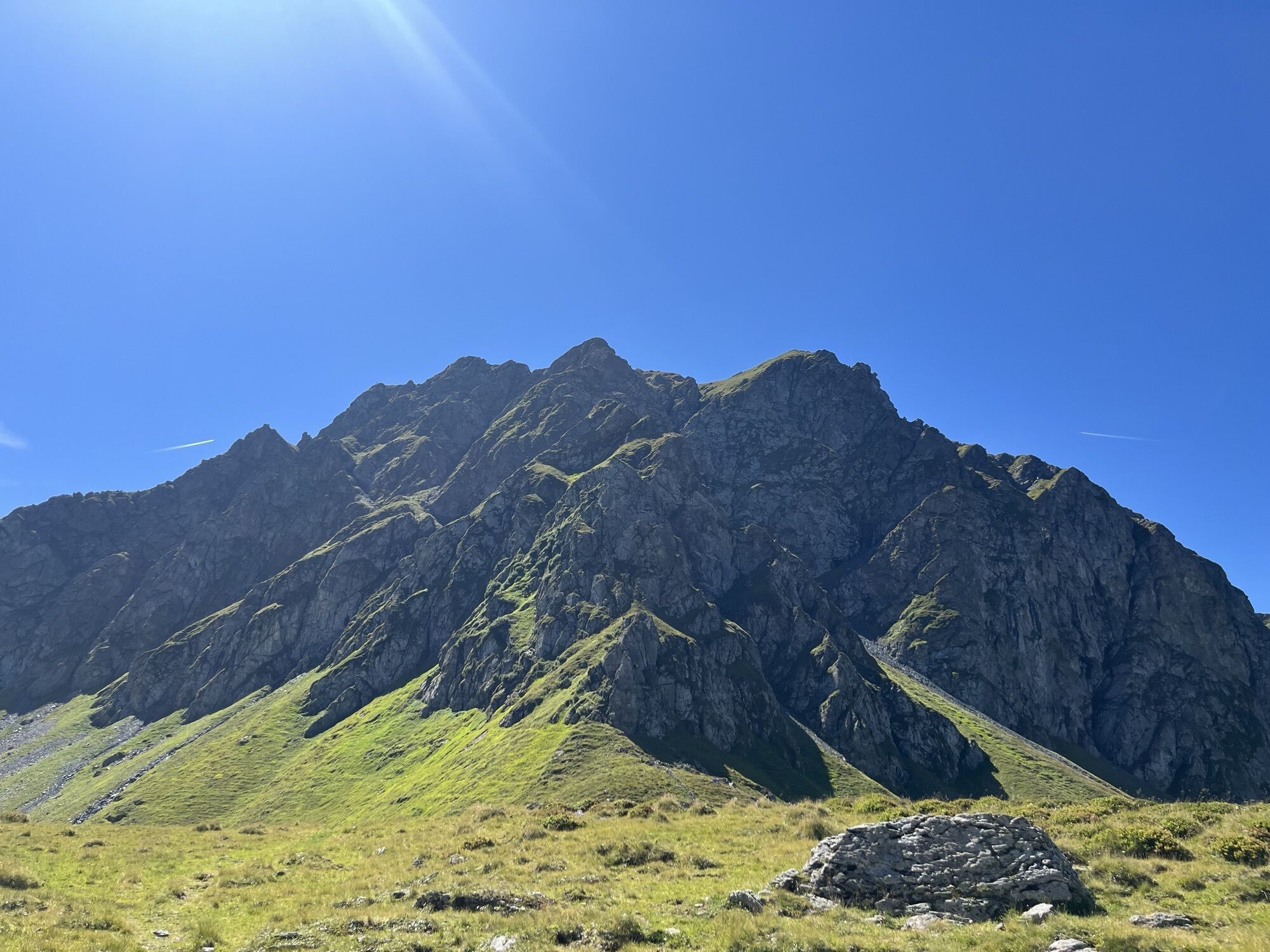
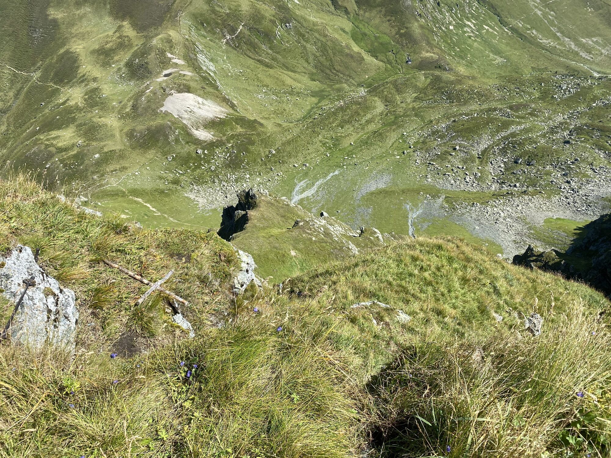
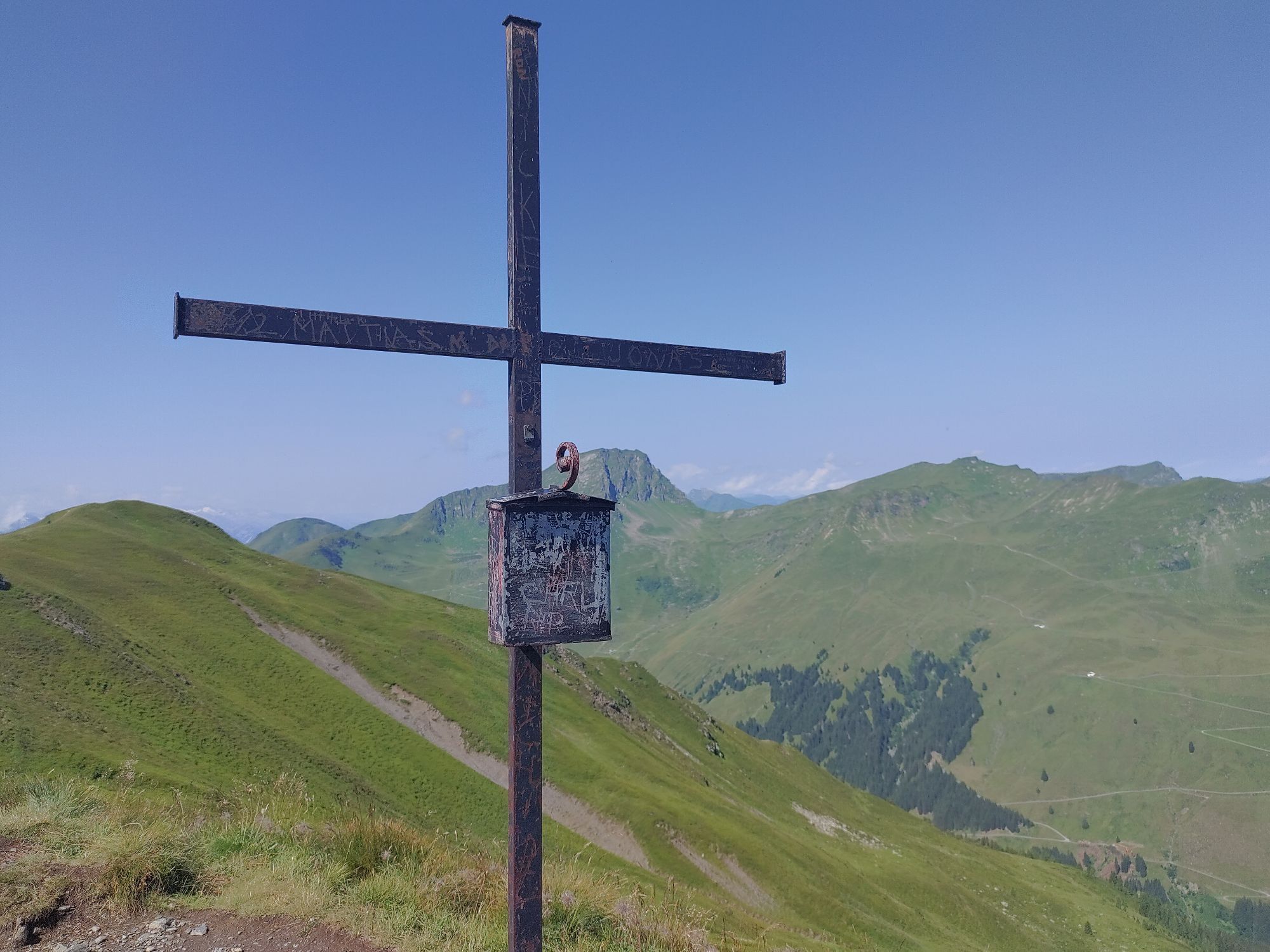
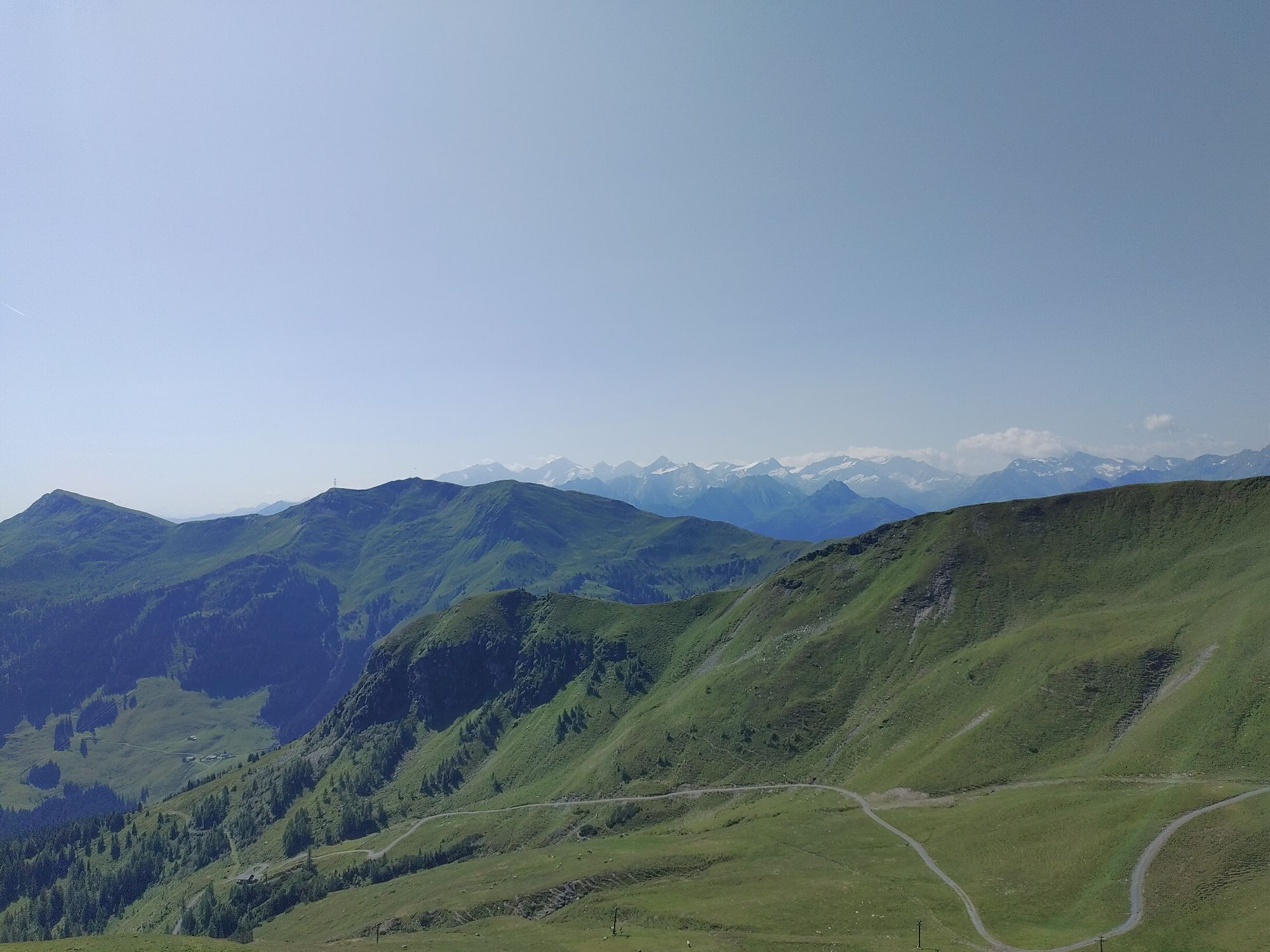
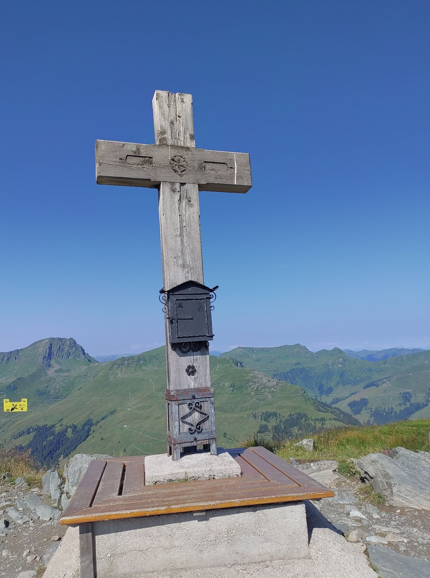
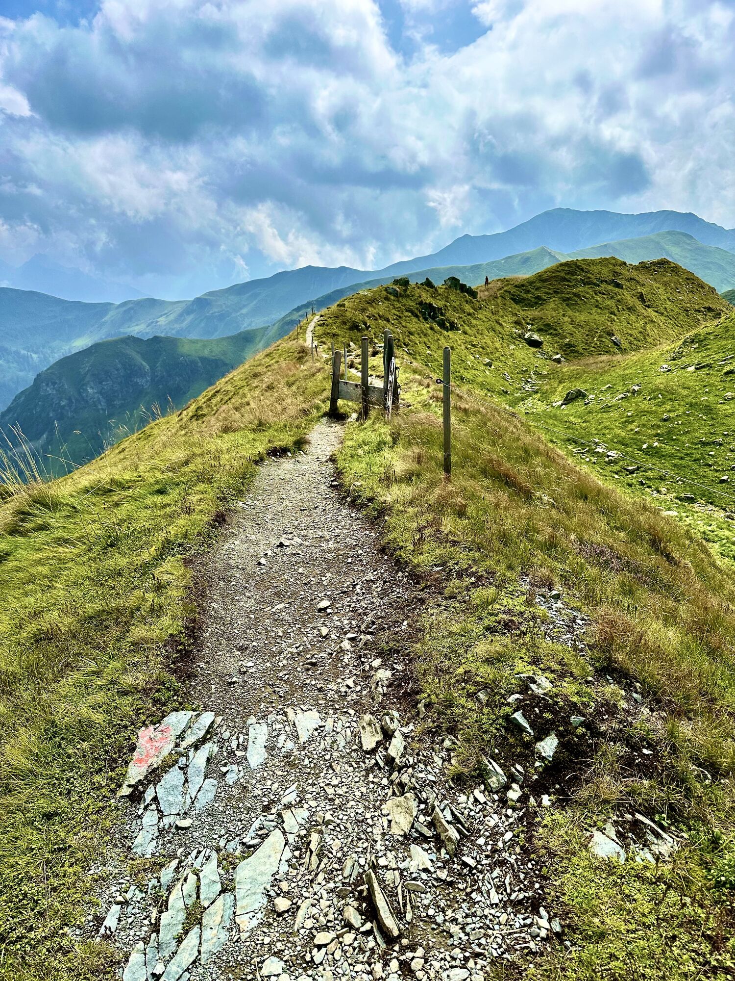
A challenging, but rewarding hike along a mountain ridge above some mountain peaks to the Geißstein.
At the start of the hike you will have a wonderful view of the villages Saalbach and Hinterglemm. Further...
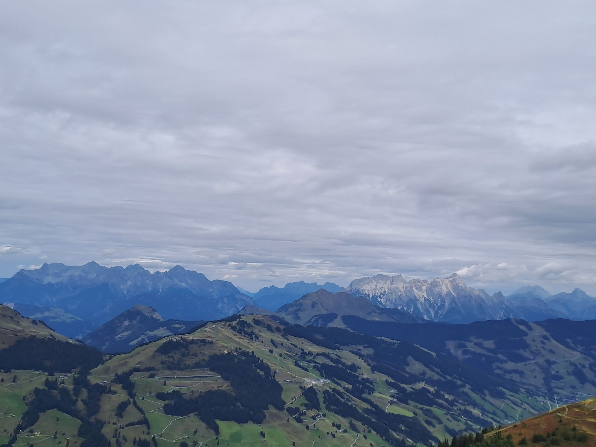
At the start of the hike you will have a wonderful view of the villages Saalbach and Hinterglemm. Further on views open up to the Vogelalpgraben as well as the Salzachtal, the Hohen Tauern mountain range, Kitzbüheler Horn, Wilder Kaiser, Watzmann and Hochkönig.
Did you know? Saalbach Hinterglemm has been awarded the ‘Hiking Seal of Quality’ by the organisation ‘Austria’s Hiking Villages’. This certificate requires a destination to meet strict quality standards in its hiking facilities and ensures that you’ll have a great time in the mountains.

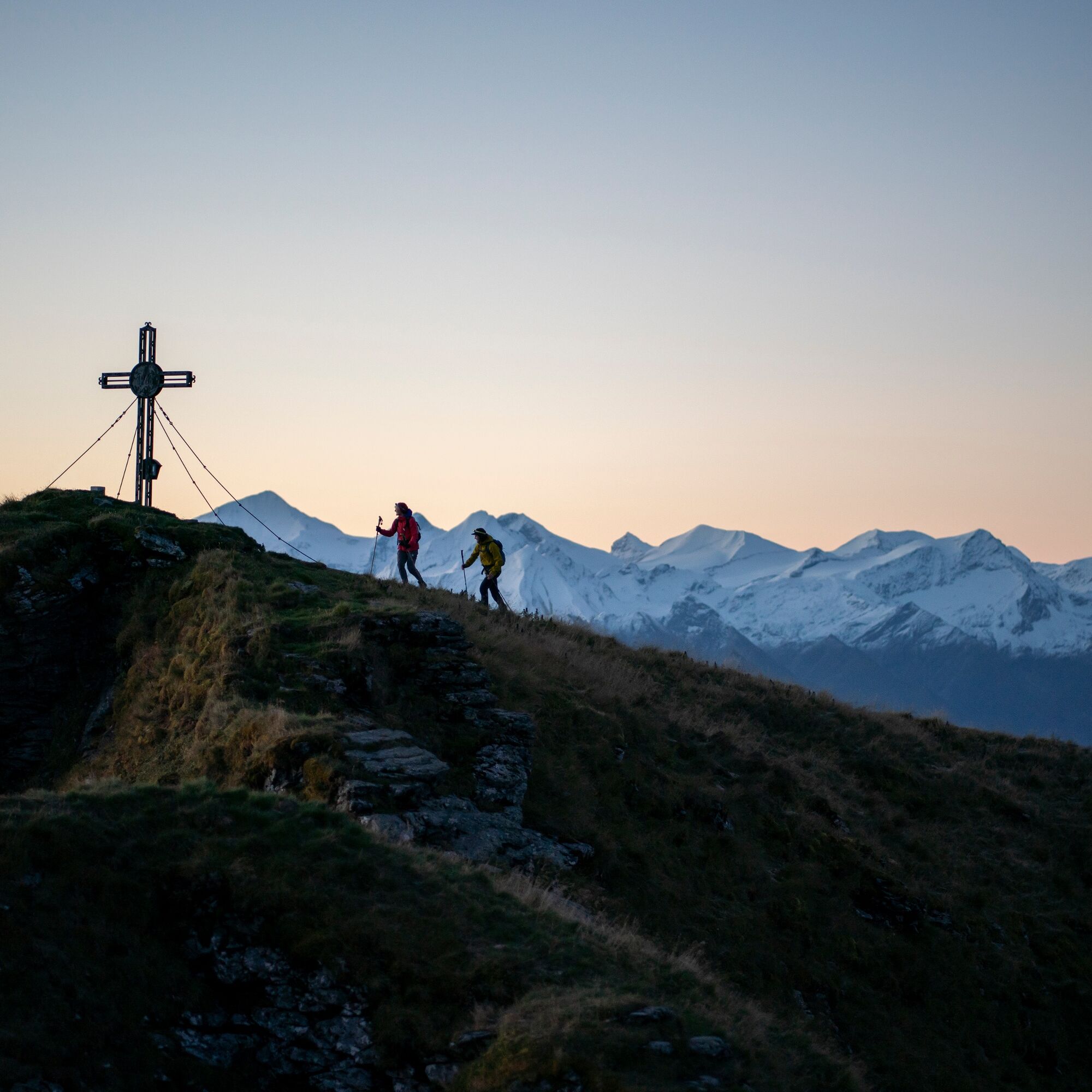
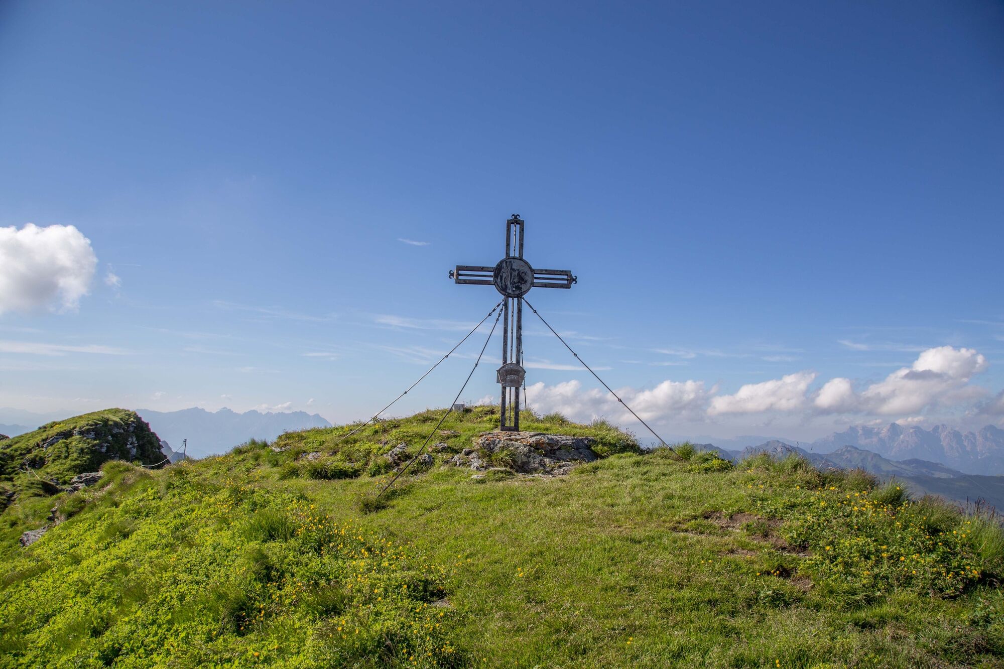
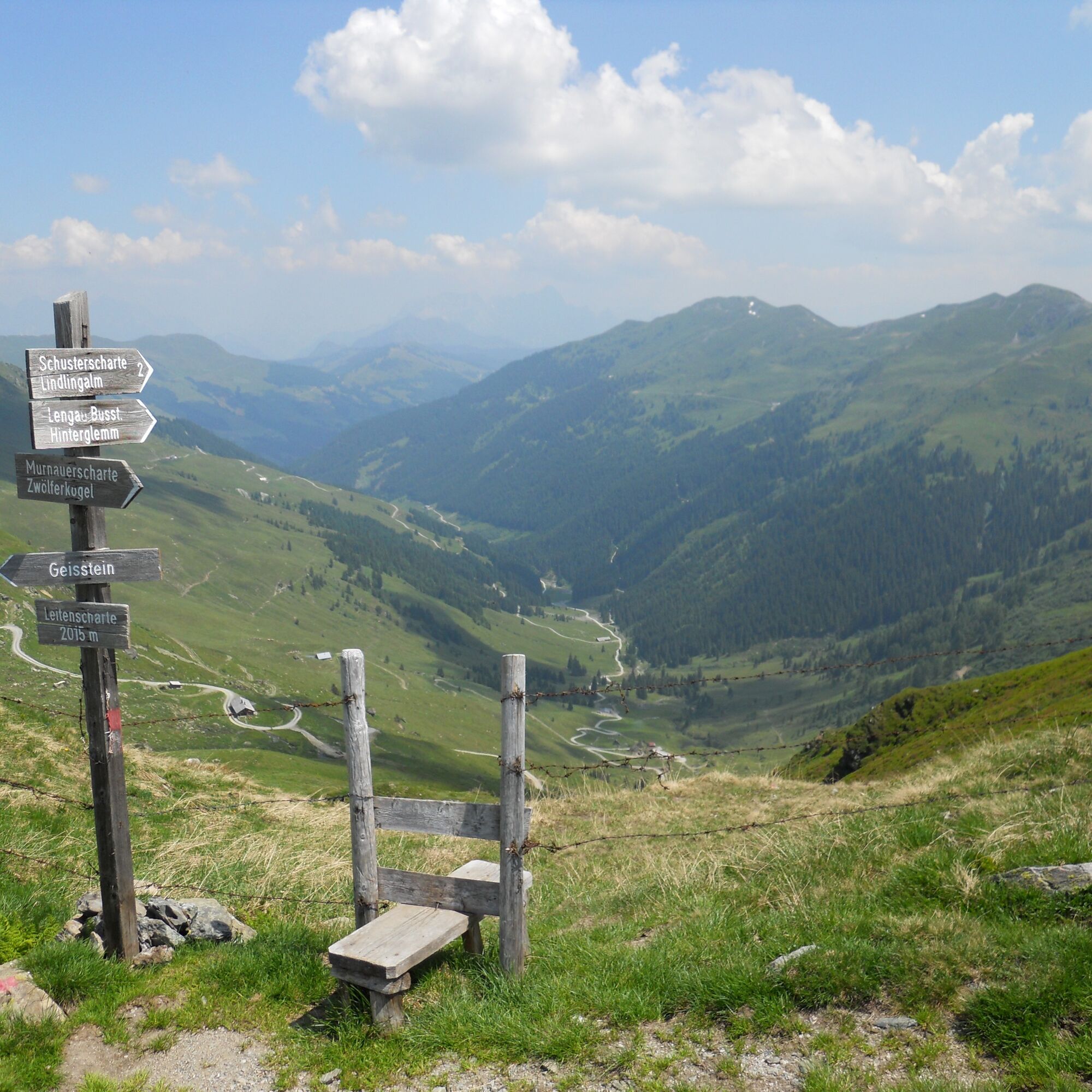
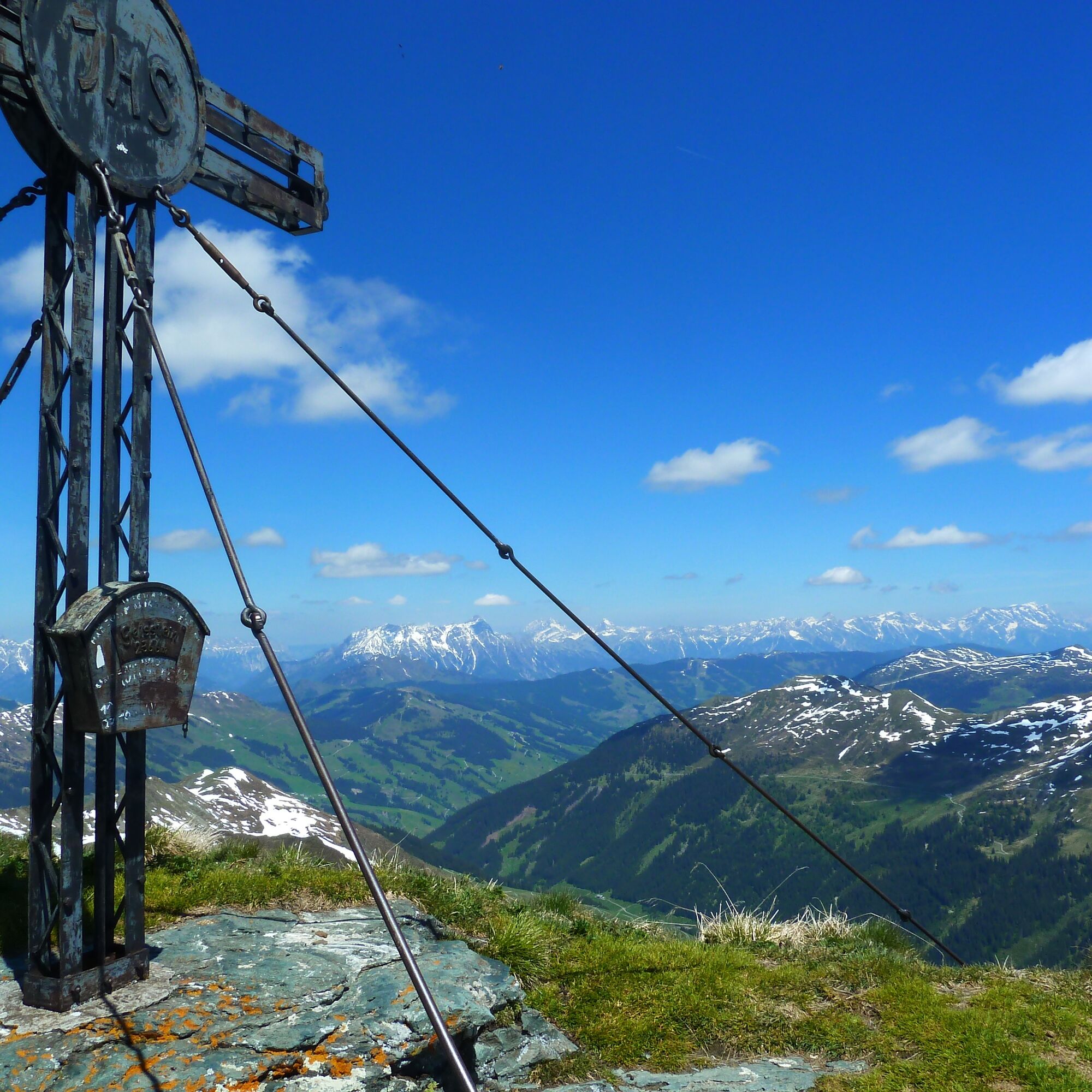
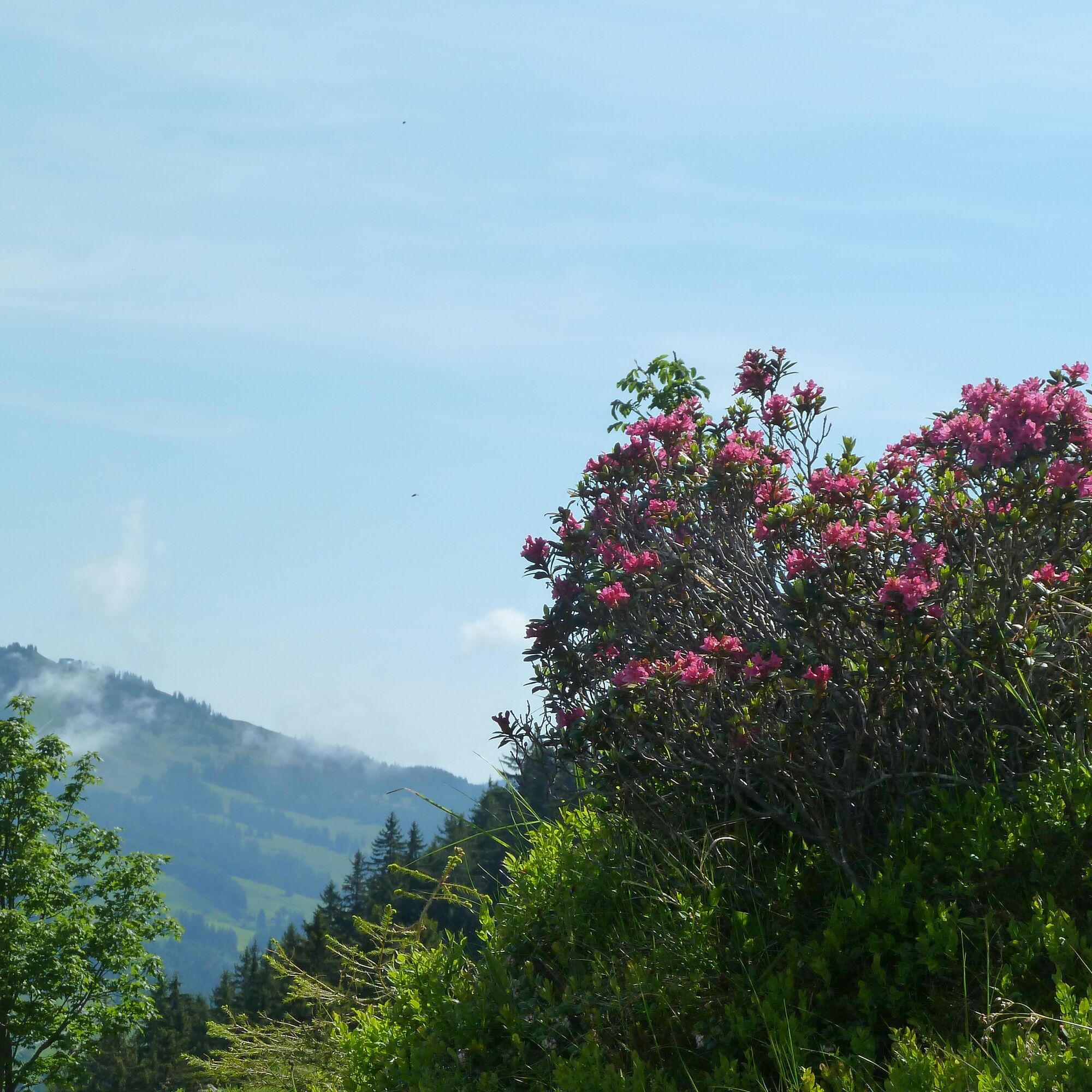
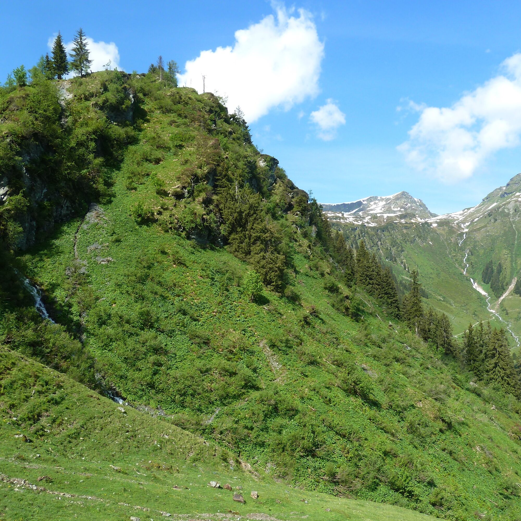
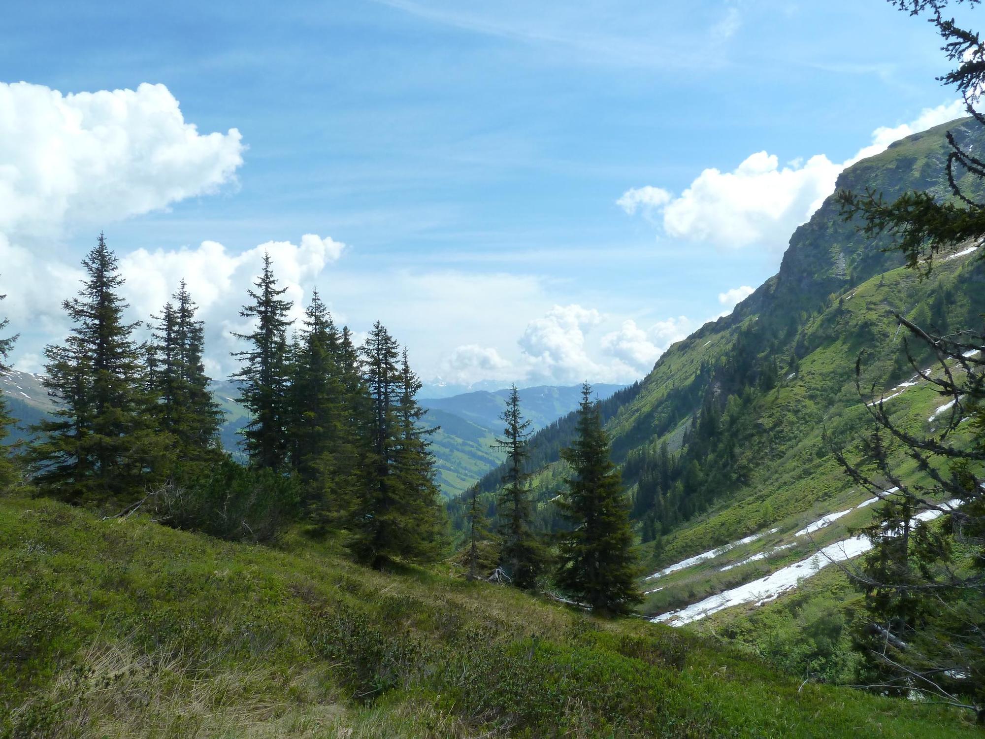
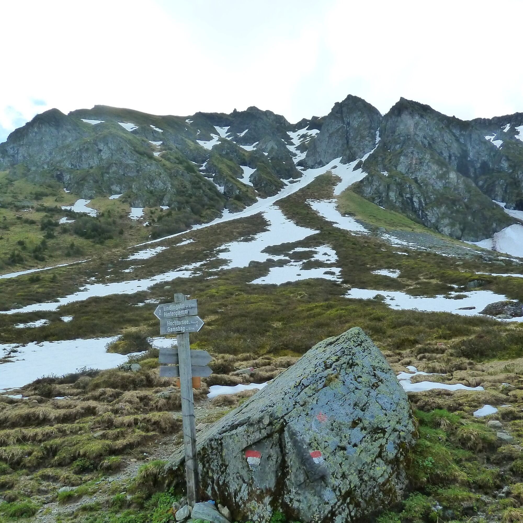
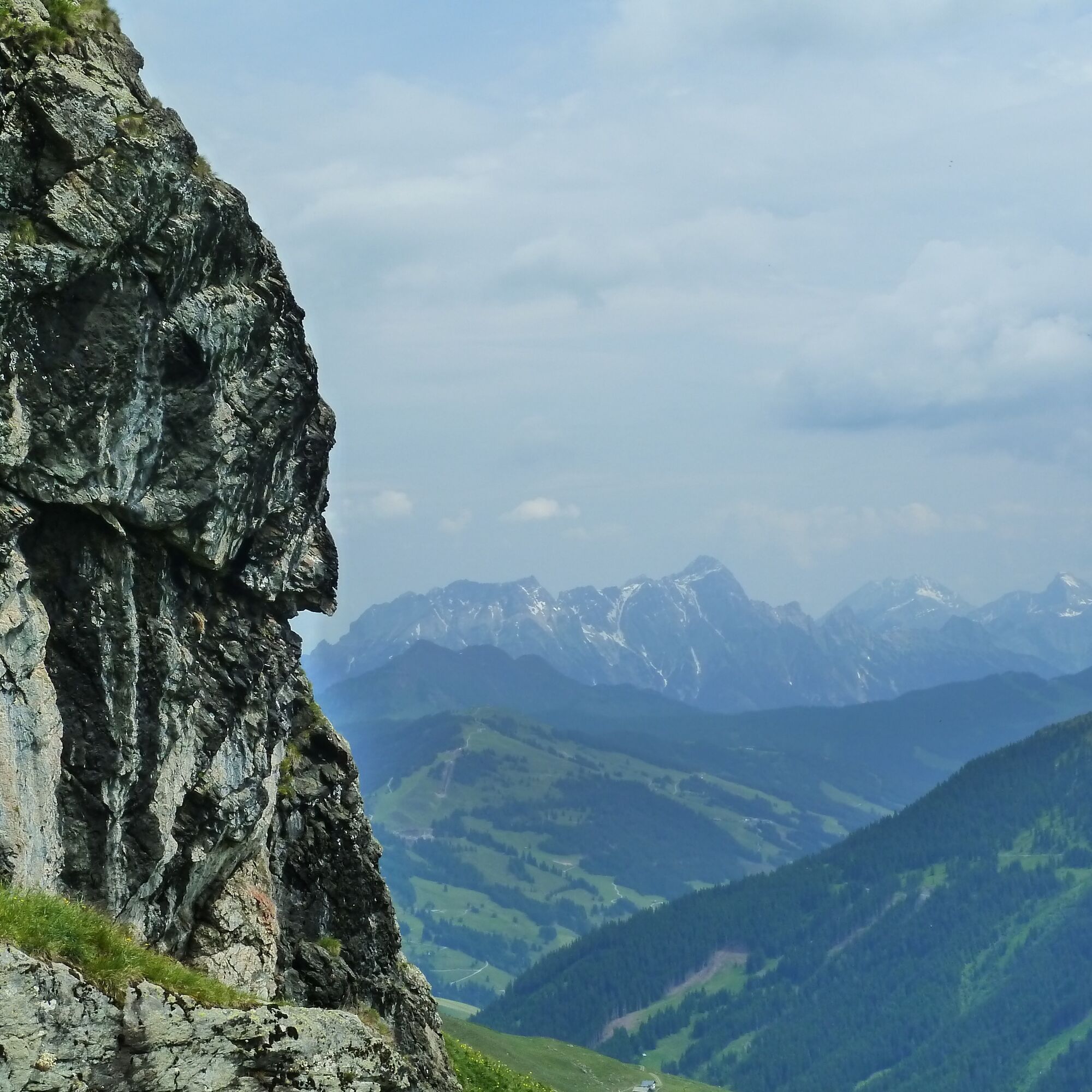
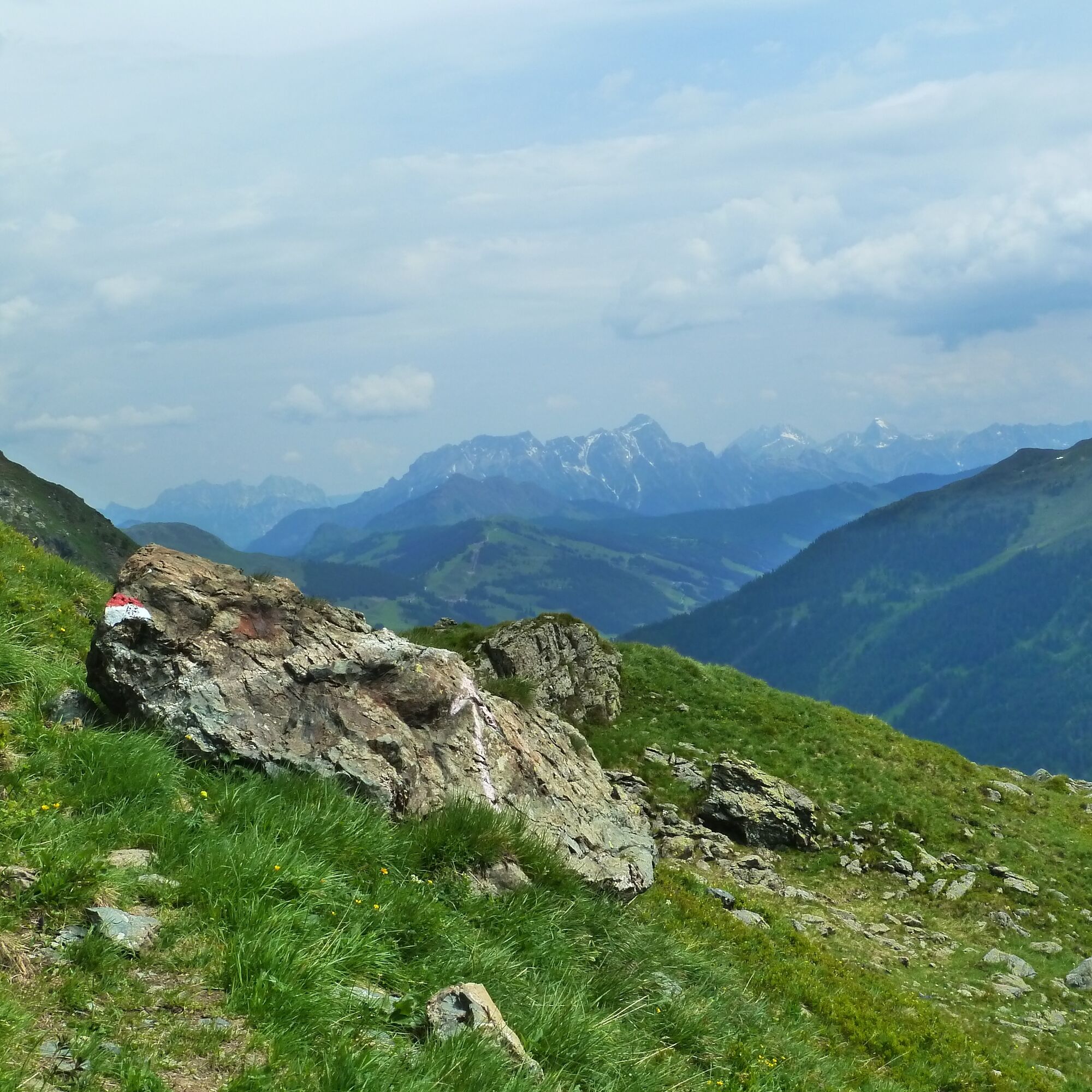
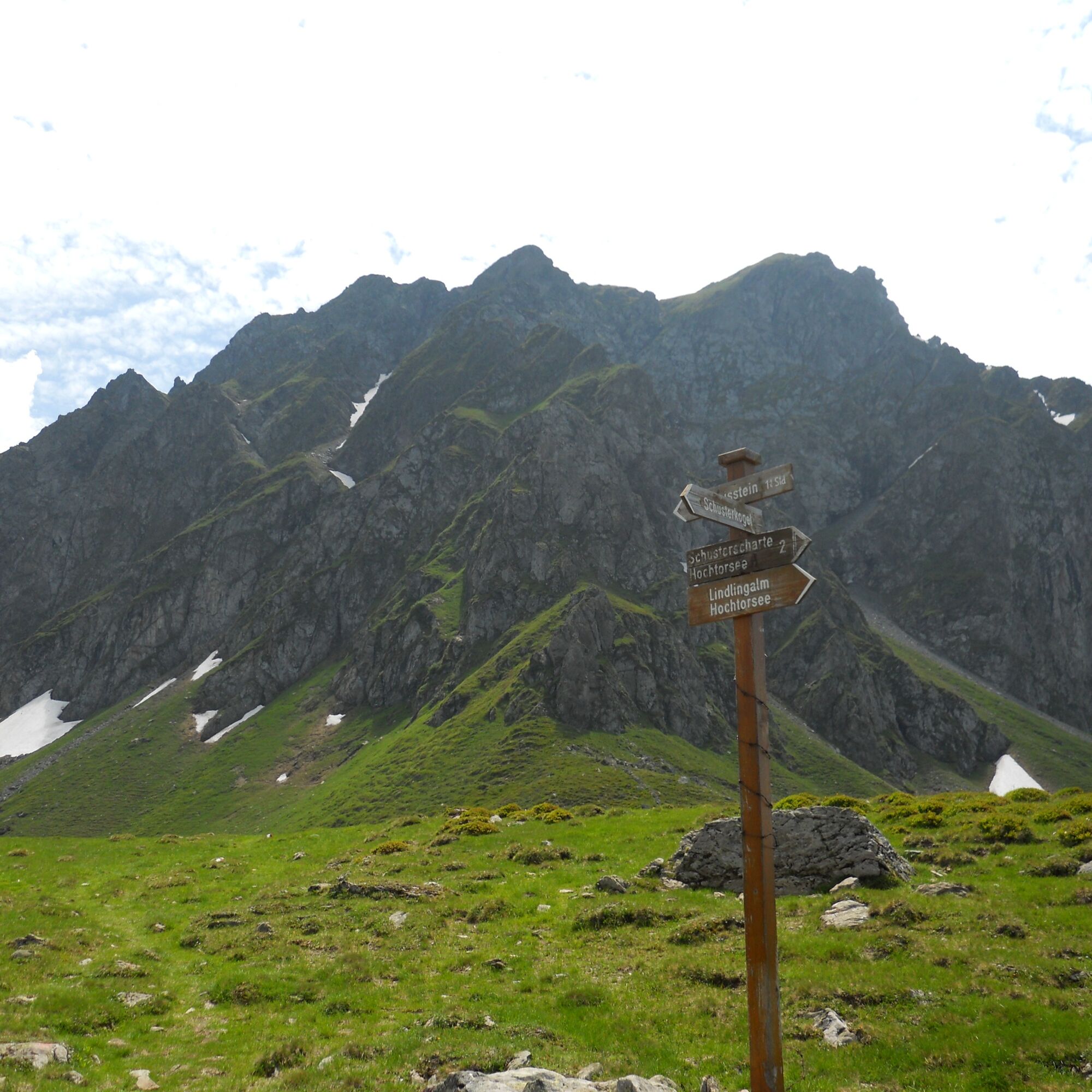
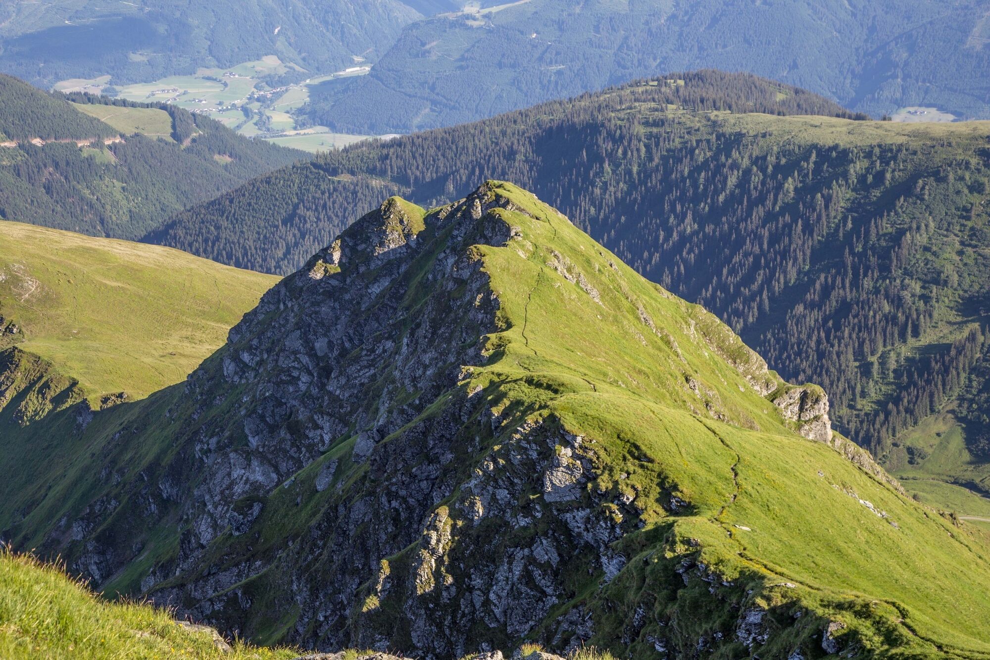

The descent is via the challenging Schlaberstatt and Schusterscharte. From here it is relatively steep, with many steps to the Lindlingalm.
Tak
Tak
Sturdy hiking boots, waterproofs, sun cream.
On this tour there is more than one possibility for descent.
From Maishofen approx. 18 km along the L111 to Hinterglemm. In Hinterglemm go through the tunnel to the Zwölferkogel lift.
Free parking available at the Zwölferkogel lift
In the area of Talschluss (end of valley), there is a possibility you will see eagles.

Kamery internetowe z trasy

Popularne wycieczki w okolicy
-
4,2
Maurerkogel (Top)
Wędrówka 10,5 km -
4,2
Panoramarundweg am Hahnenkamm
światłoWędrówka 3,02 km -
4,7
Panorama route 3 peaks and 2 lakes
średniWędrówka 7,21 km -
4,9
Hochsonnberg Runde
średniMountainbike 59,8 km -
4,8
Schmittenhöhe - Hochsonnbergalm - Pinzgauer Hut
średniWędrówka 9,09 km -
4,9
10D Hochsonnbergrunde
średniMountainbike 26,4 km -
4,7
Tristkogel
ciężkiWędrówka 15,6 km -
4,8
Fieberbrunn- Wildseeloderhaus- Rund um die Henne/Hochhörndlehütte
średniWędrówka 8,02 km -
3,9
Hollersbach: Pihapper path no. 935
ciężkiWędrówka 12,8 km -
4,9
Manlitzkogel
ciężkiWędrówka 13,4 km
Wędrówki i tropienie


Nie przegap ofert i inspiracji na następne wakacje
Twój adres e-mail została dodana do listy mailingowej.





