






HOHE TAUERN PANORAMA TRAIL | ST12: Hundstein | Bruck an der Großglocknerstraße-Taxenbach
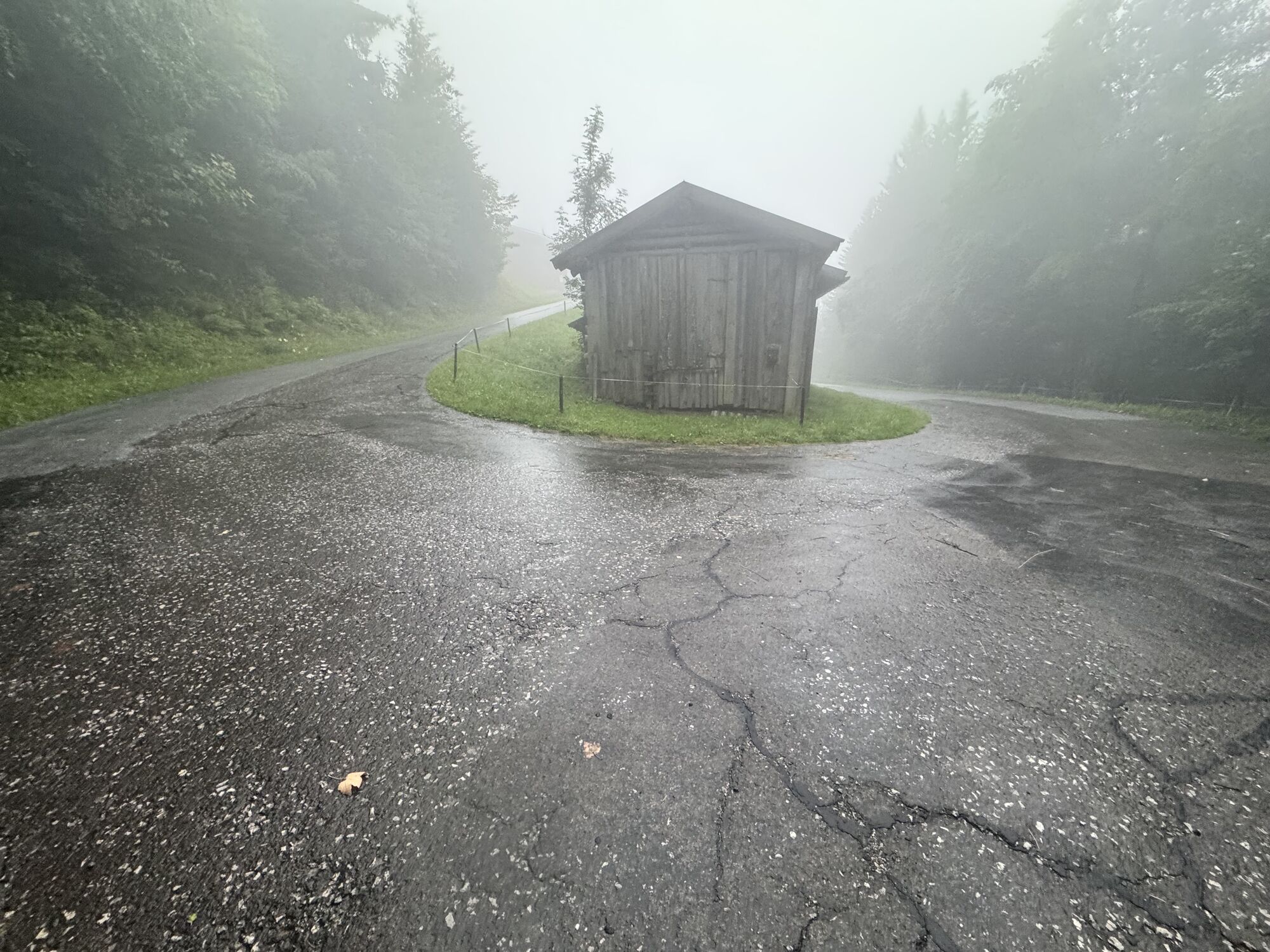
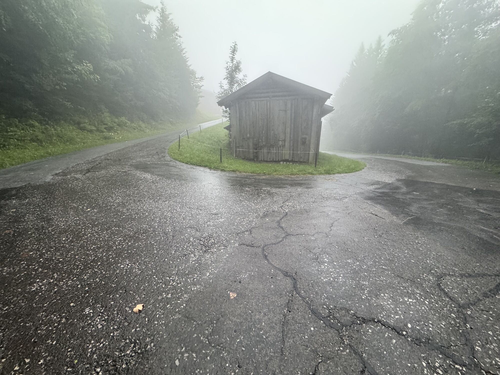
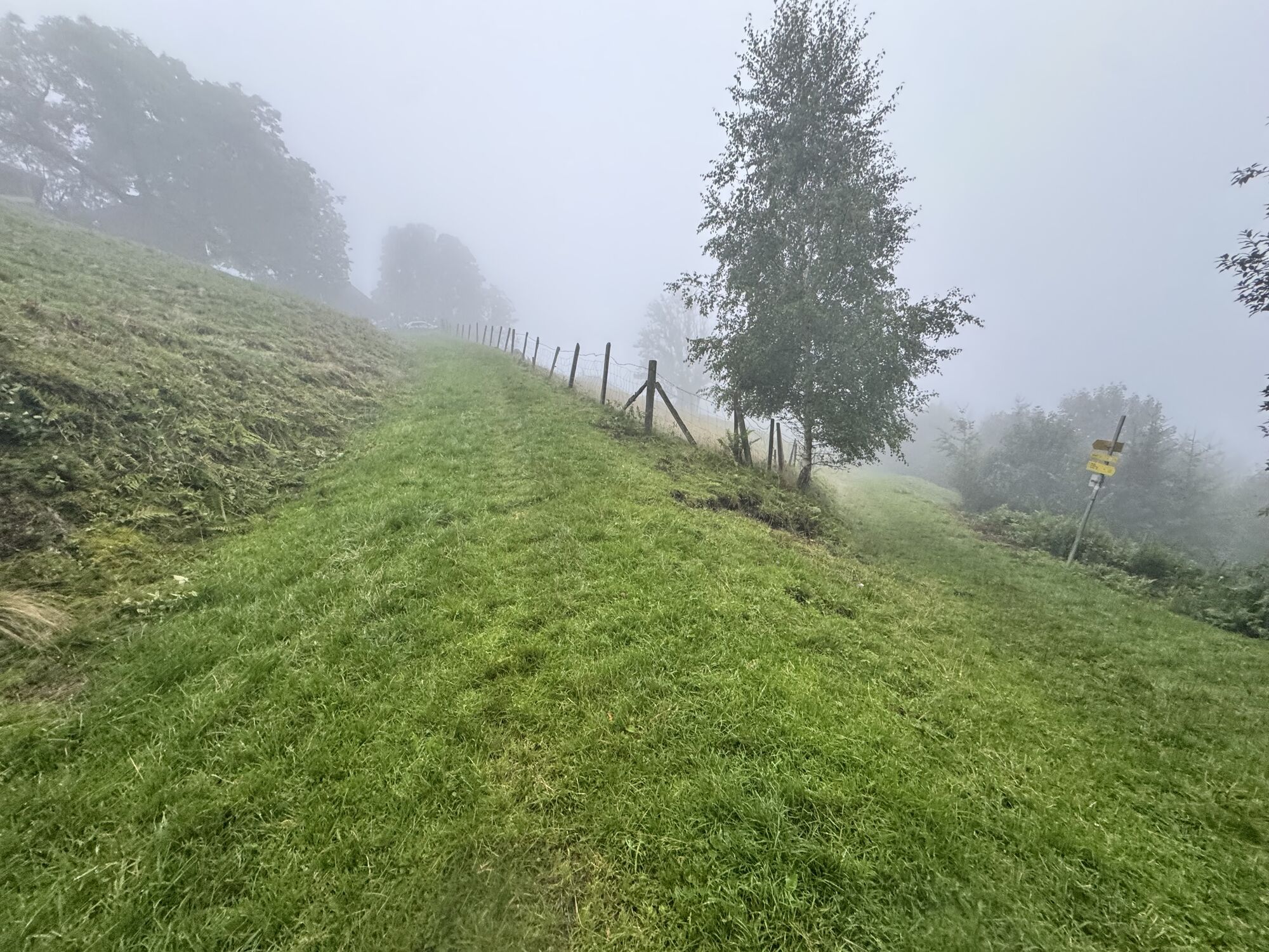
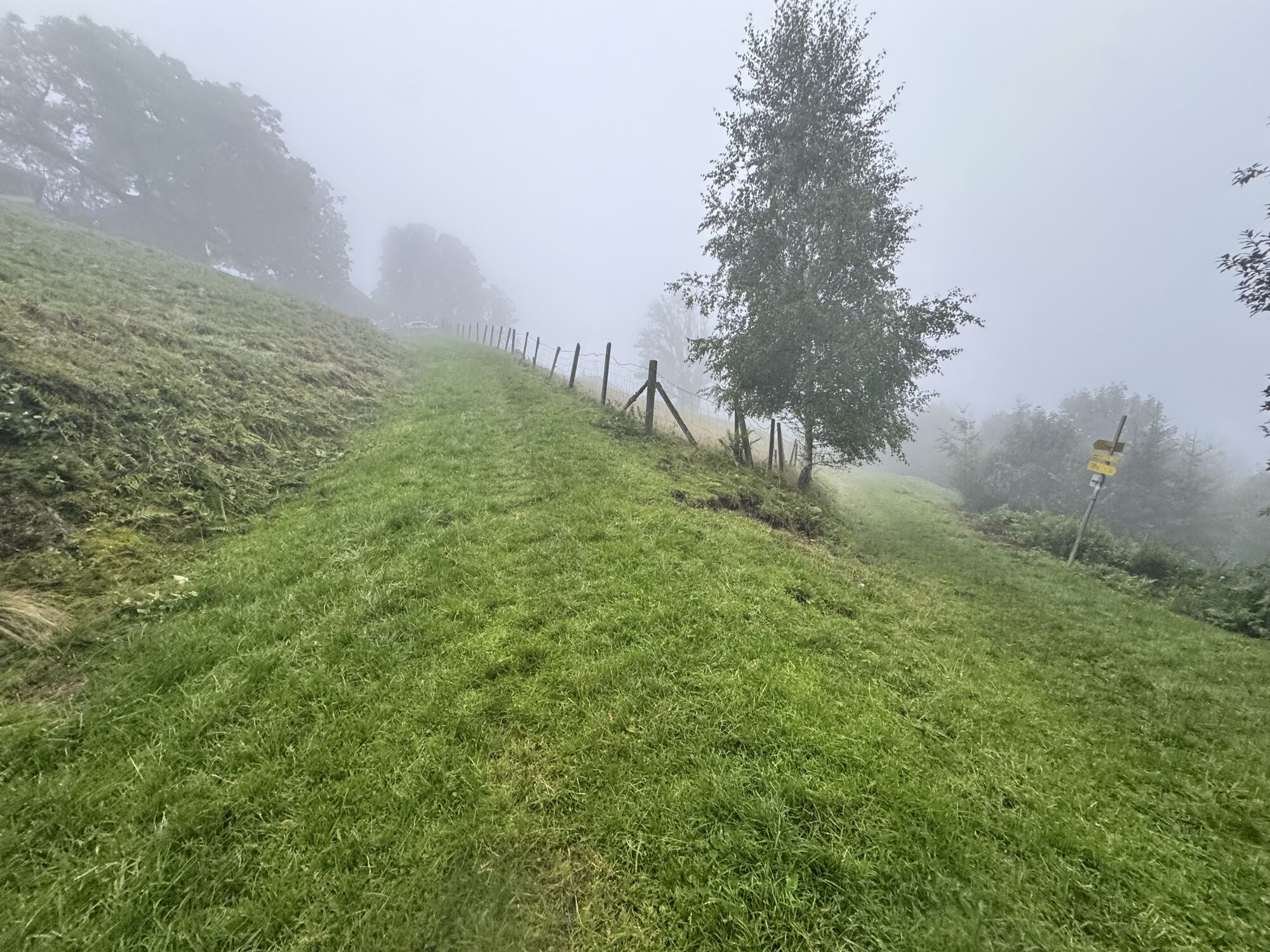
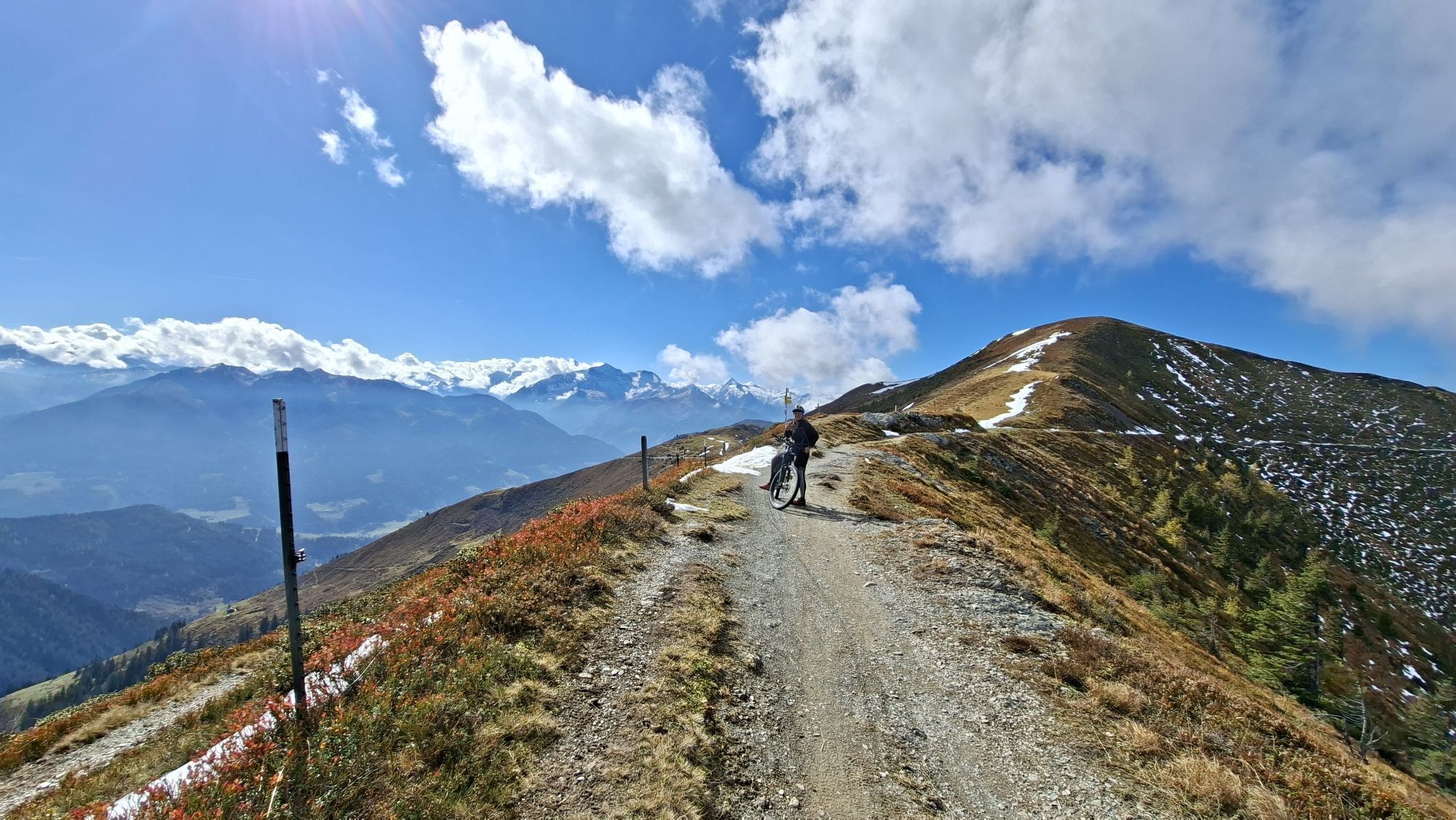
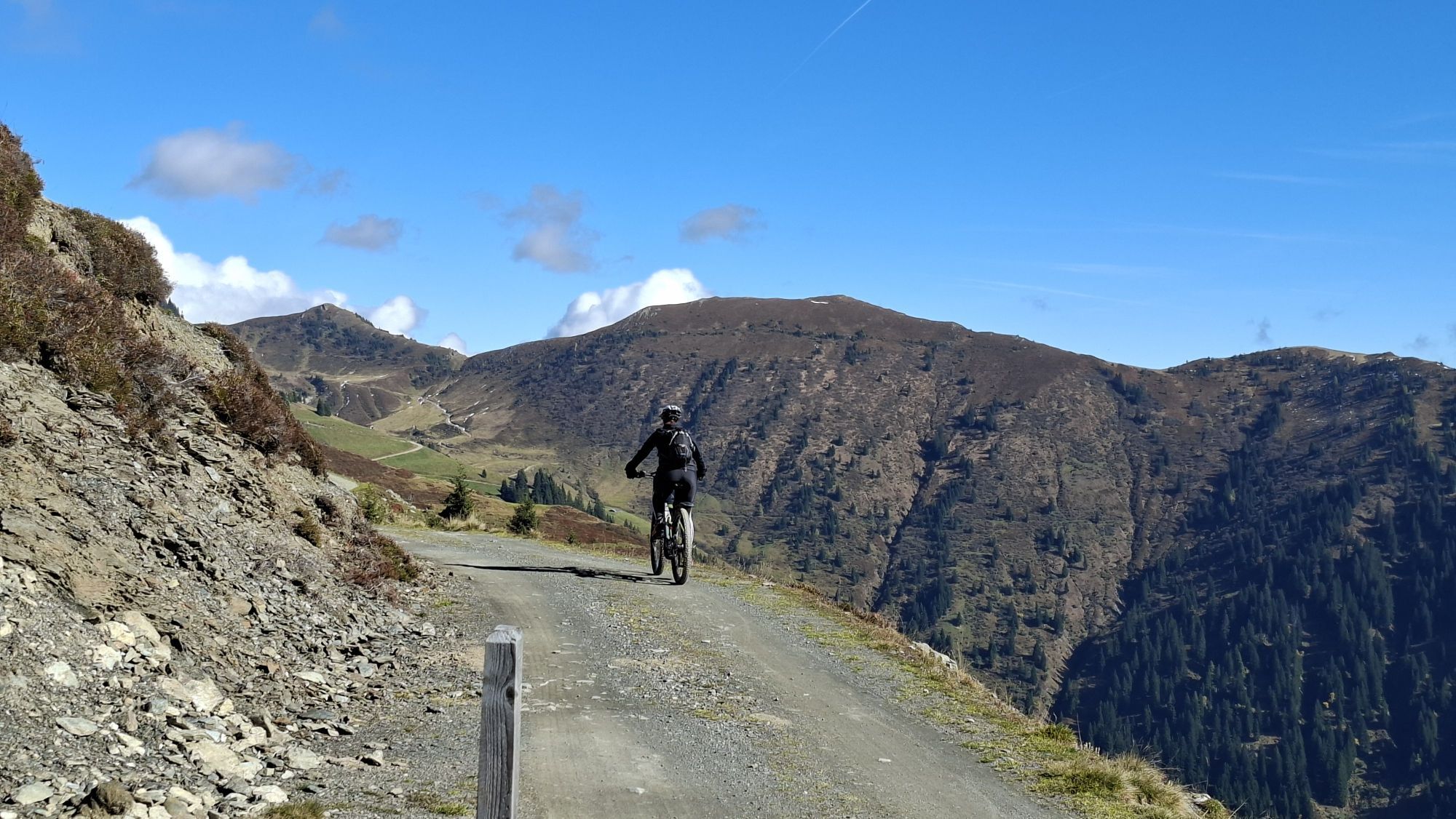
One of the longest stages of the Hohe Tauern Panorama Trail begins: not only because the stage is actually long, but because on nice weather there is a fantastic view and the incredible summit world takes...
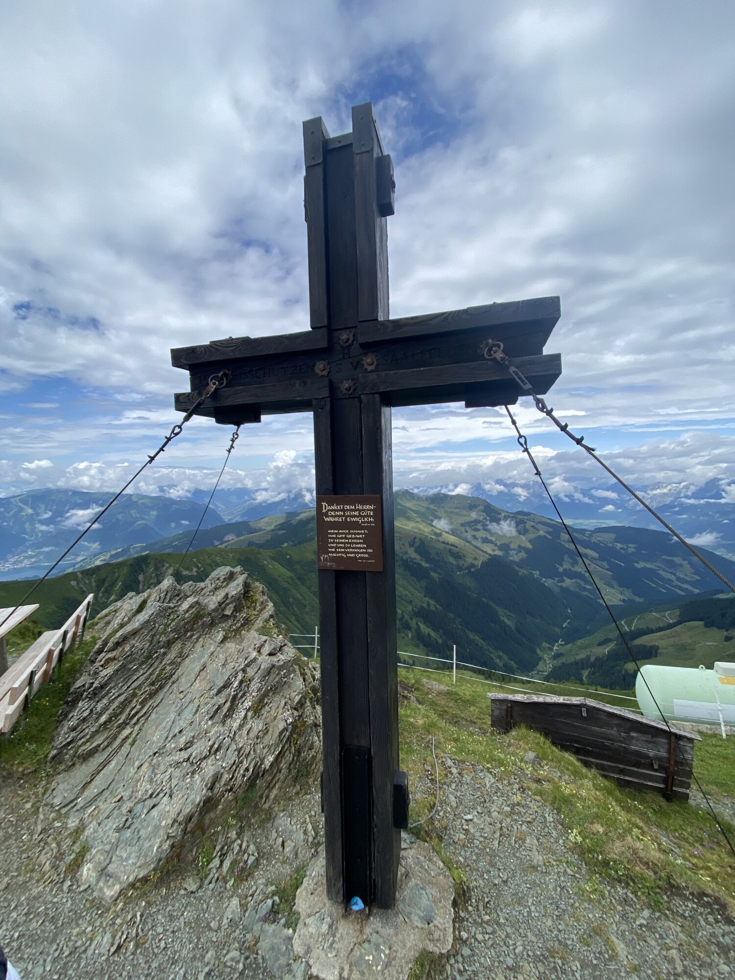
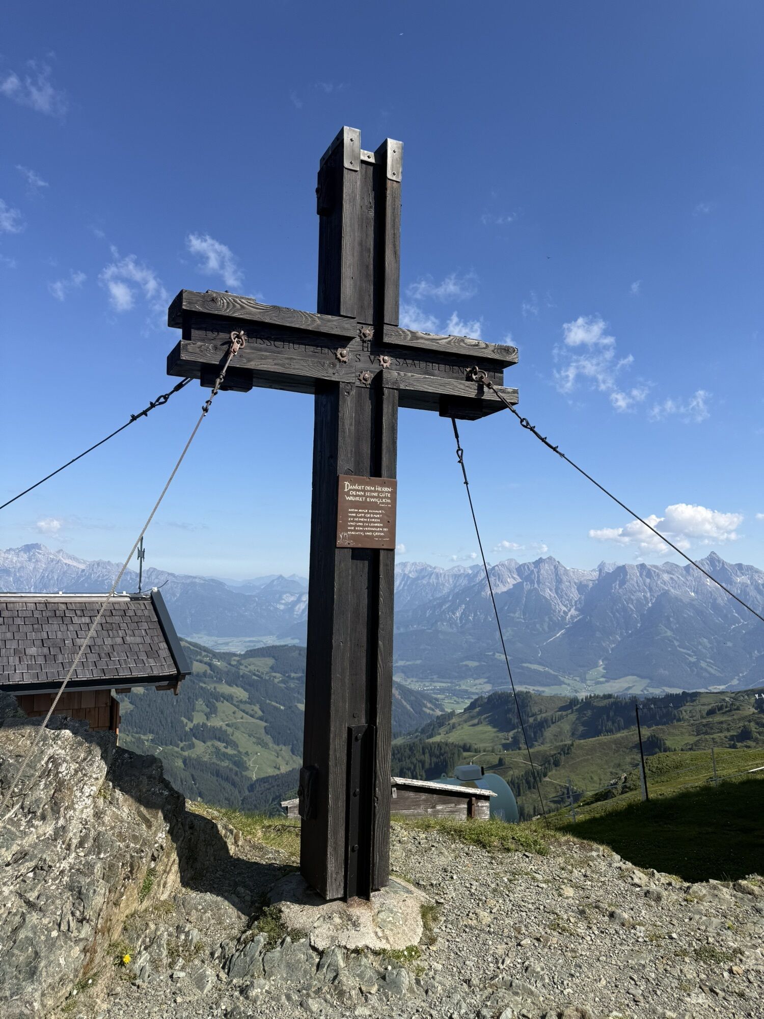
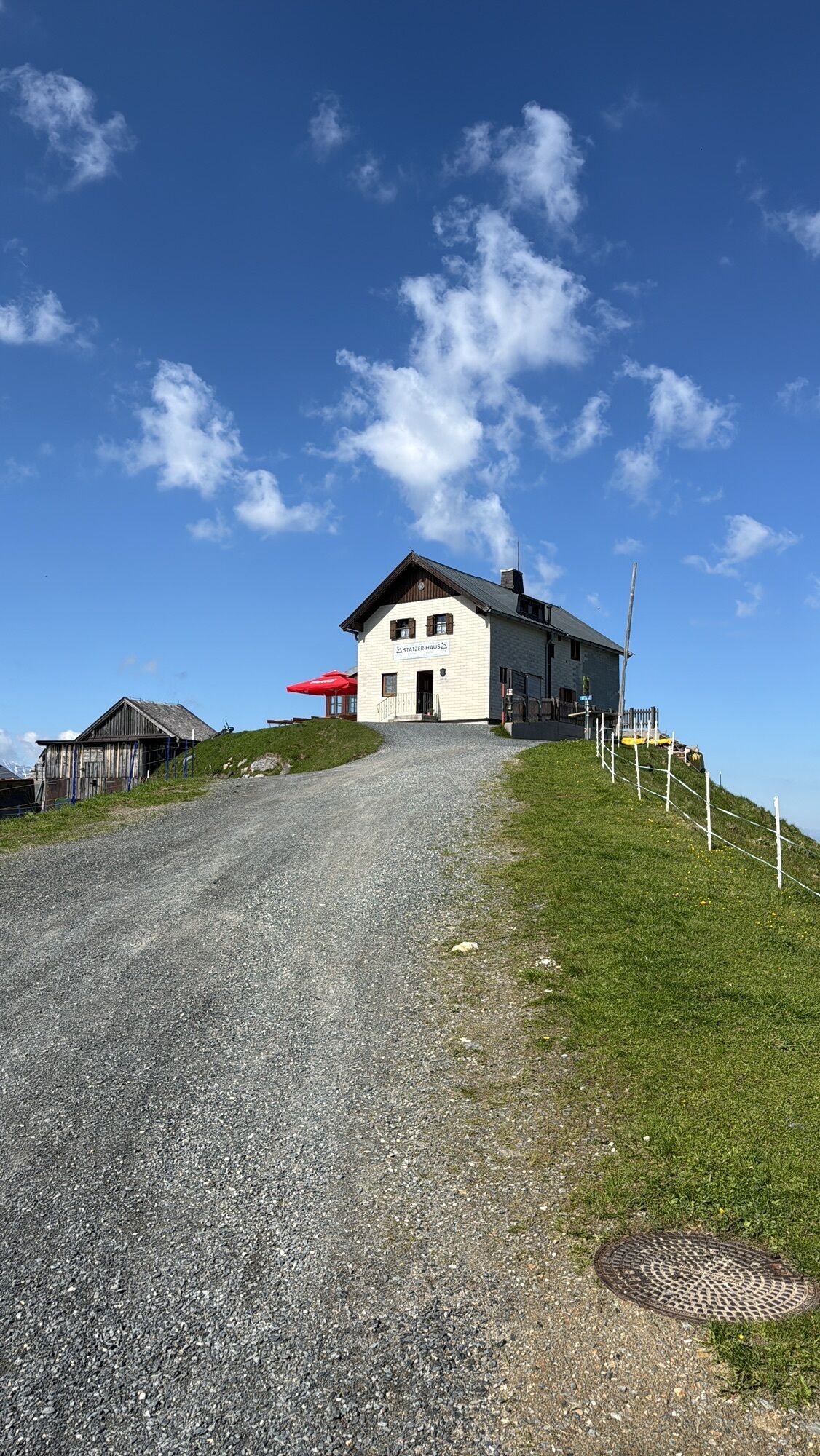
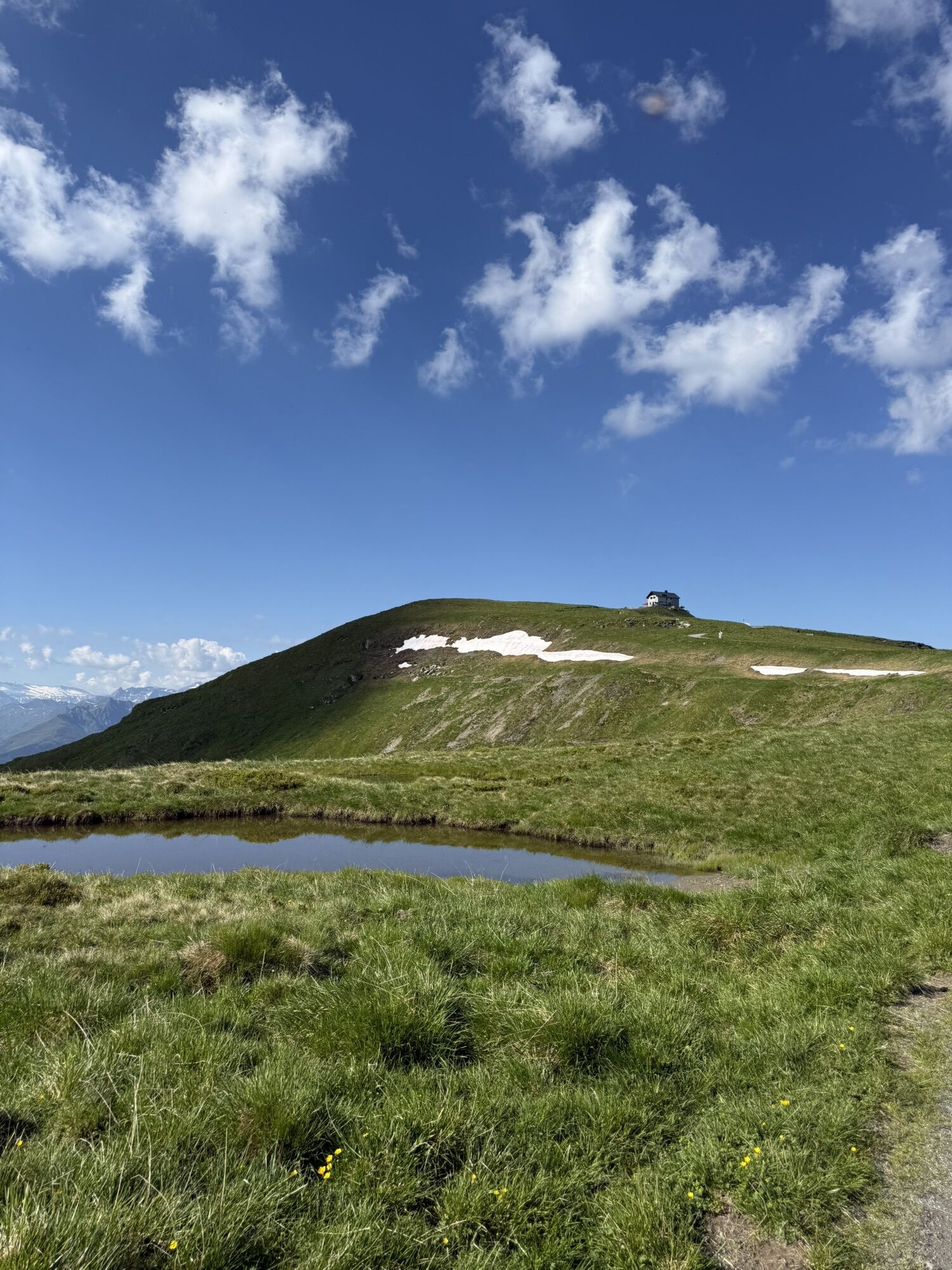
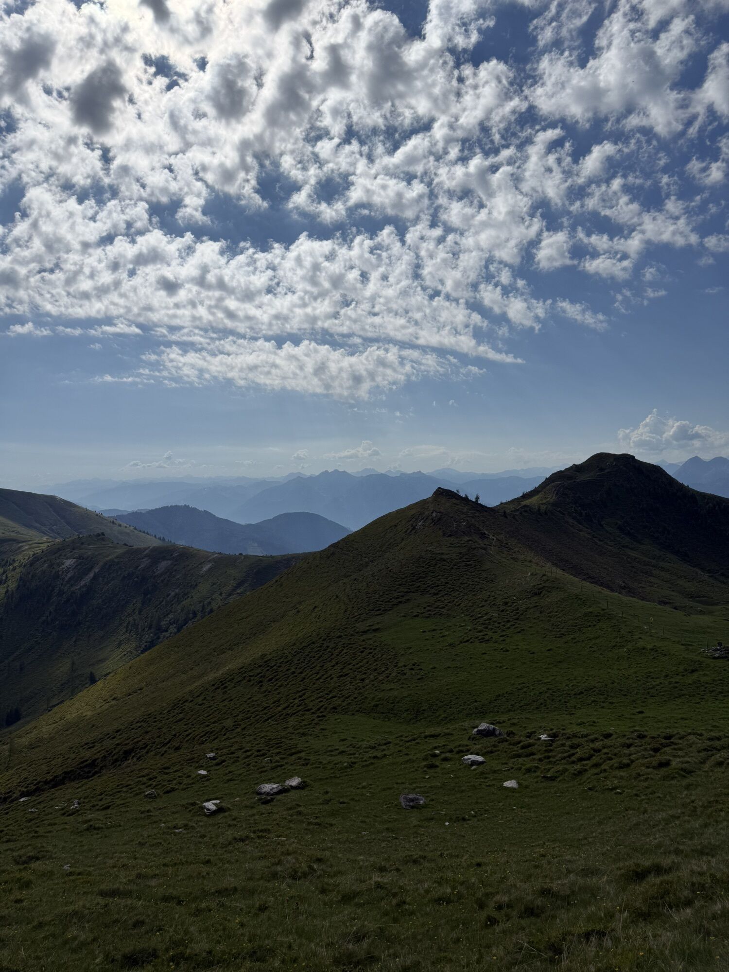
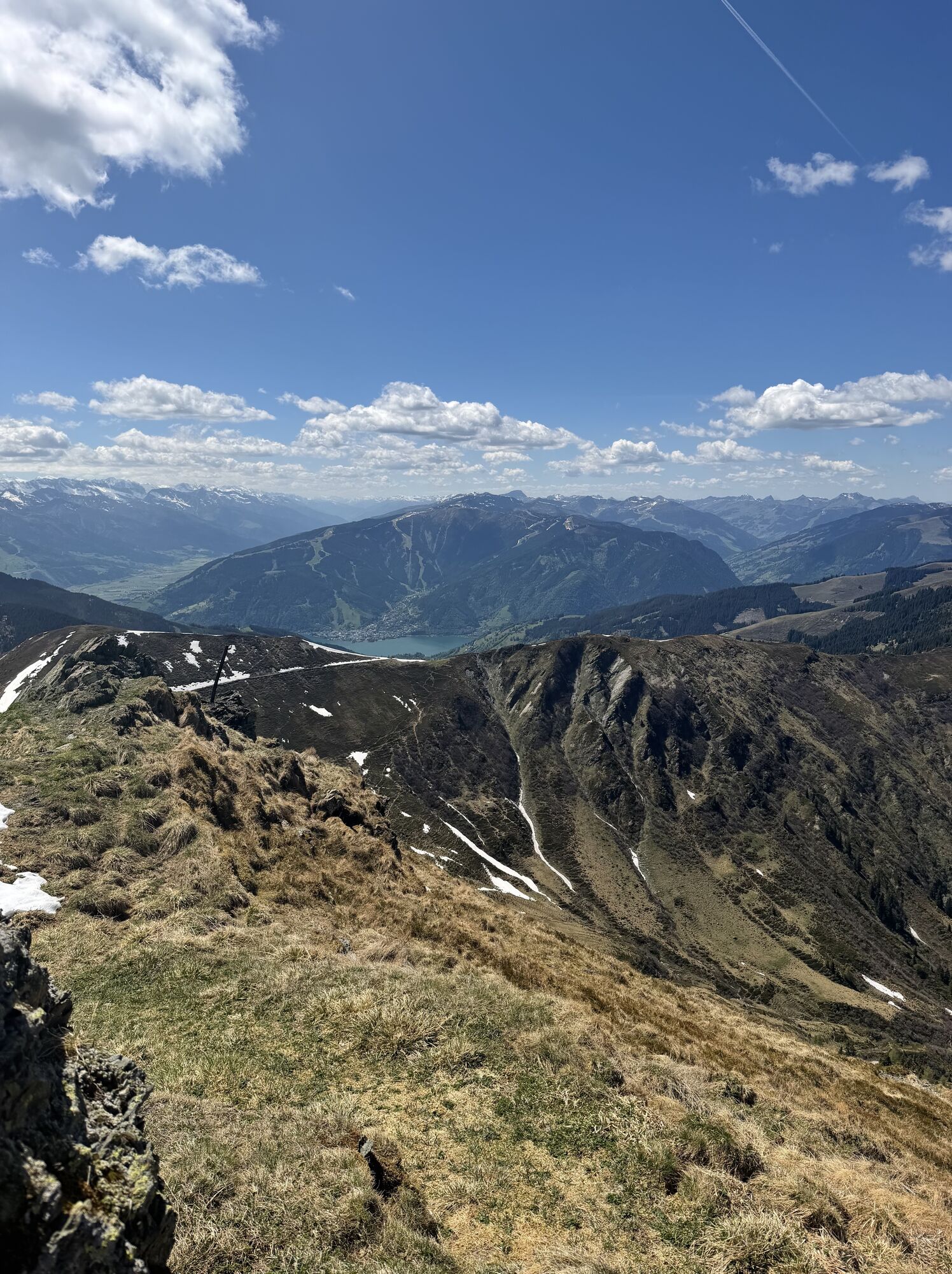
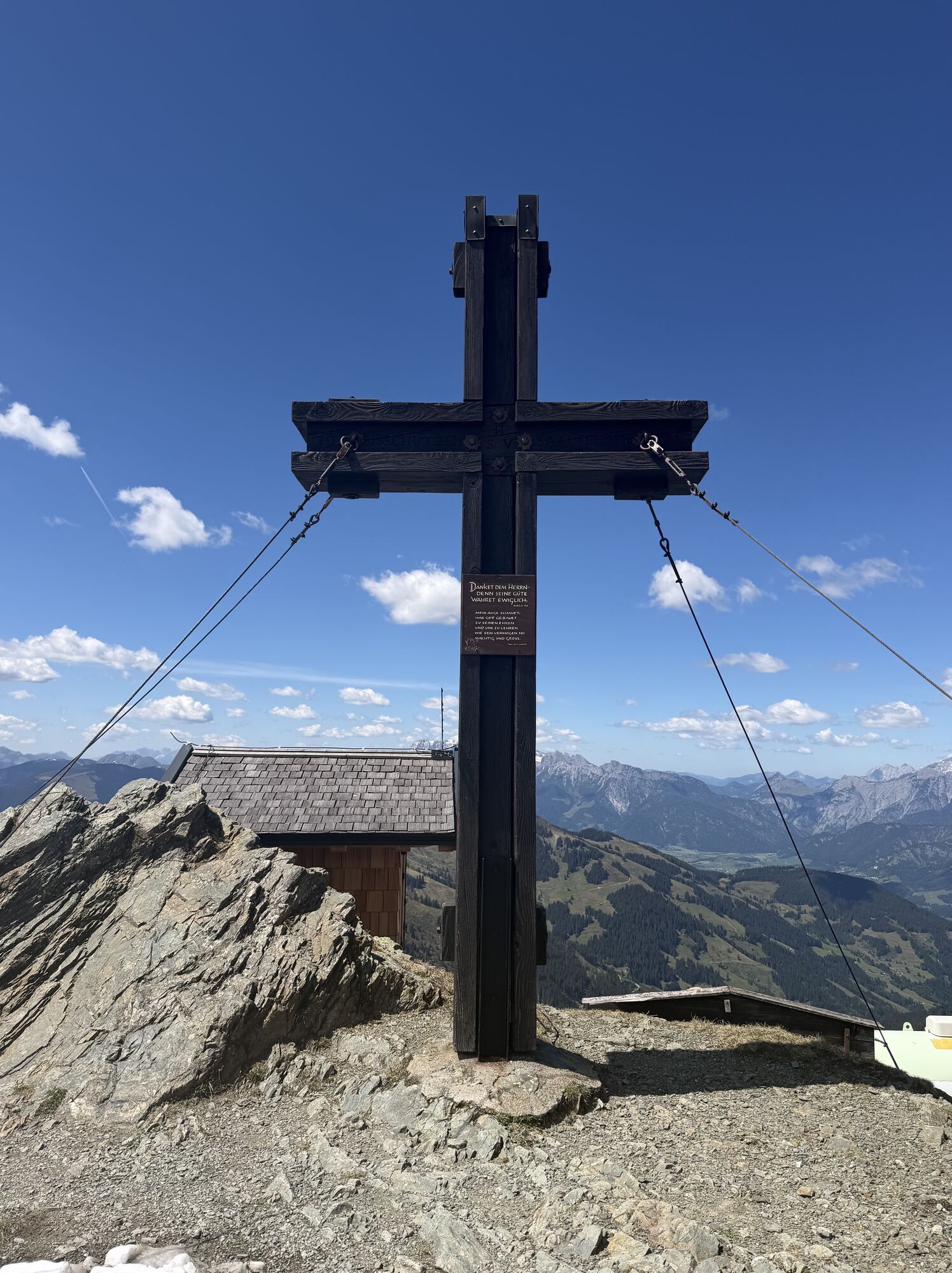
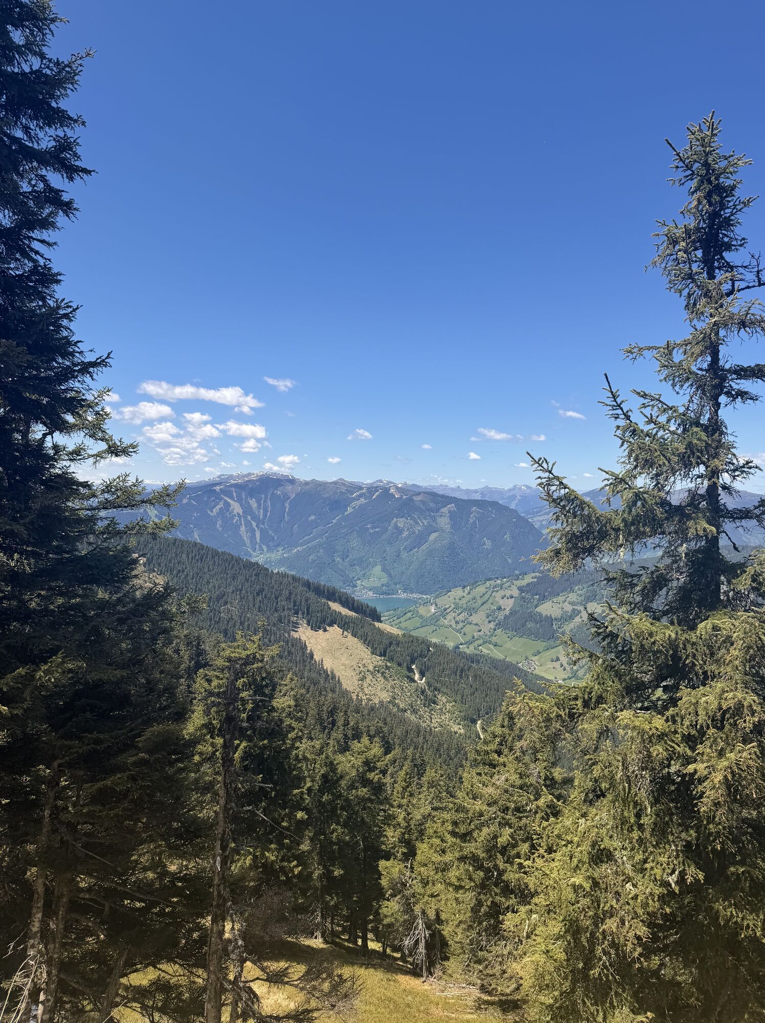
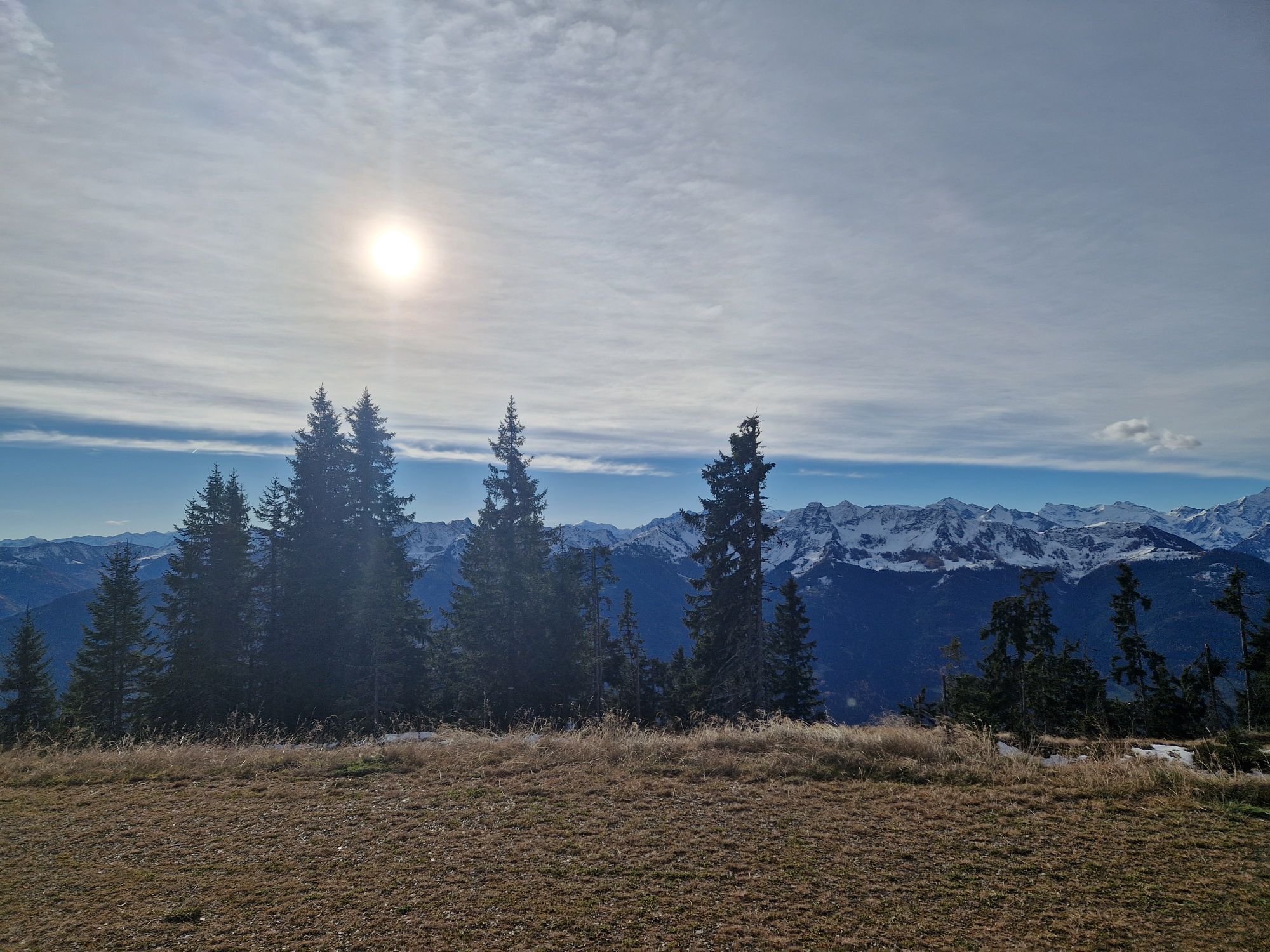
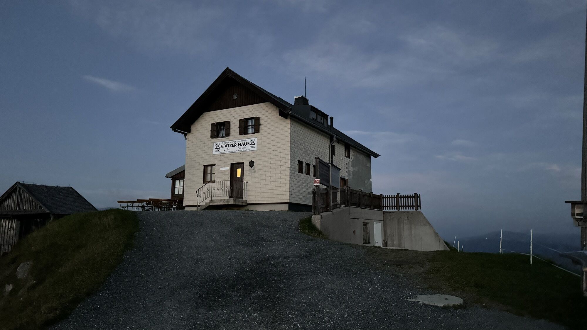
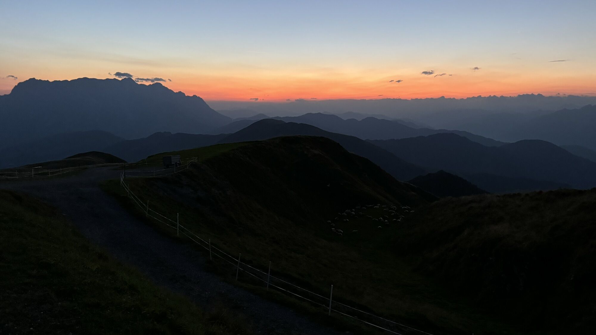
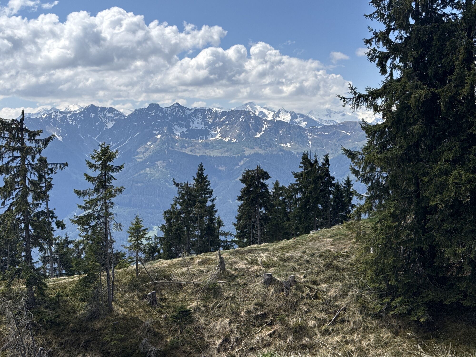
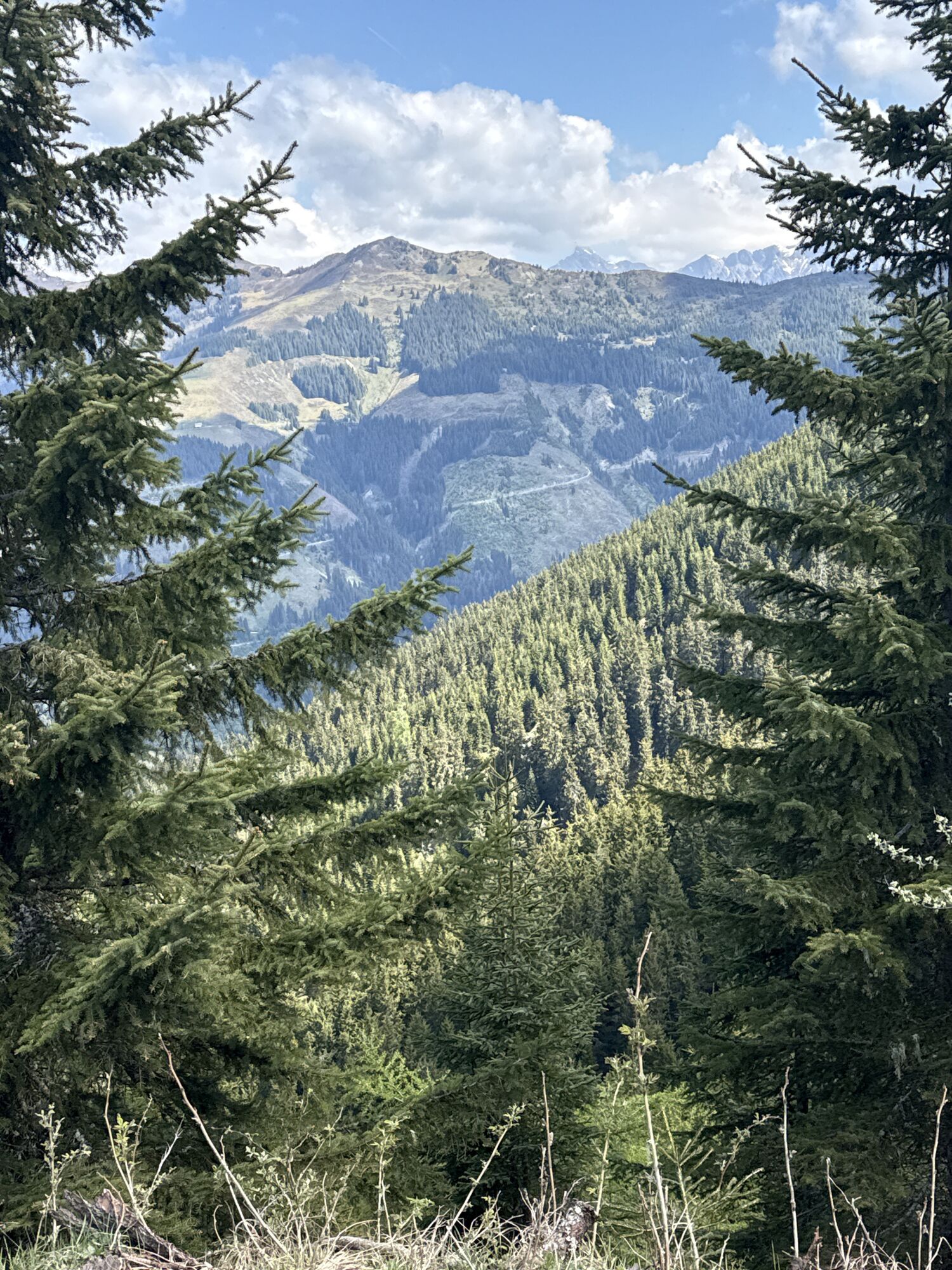
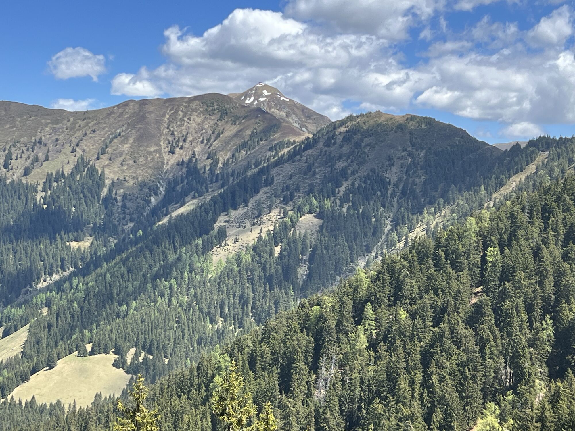
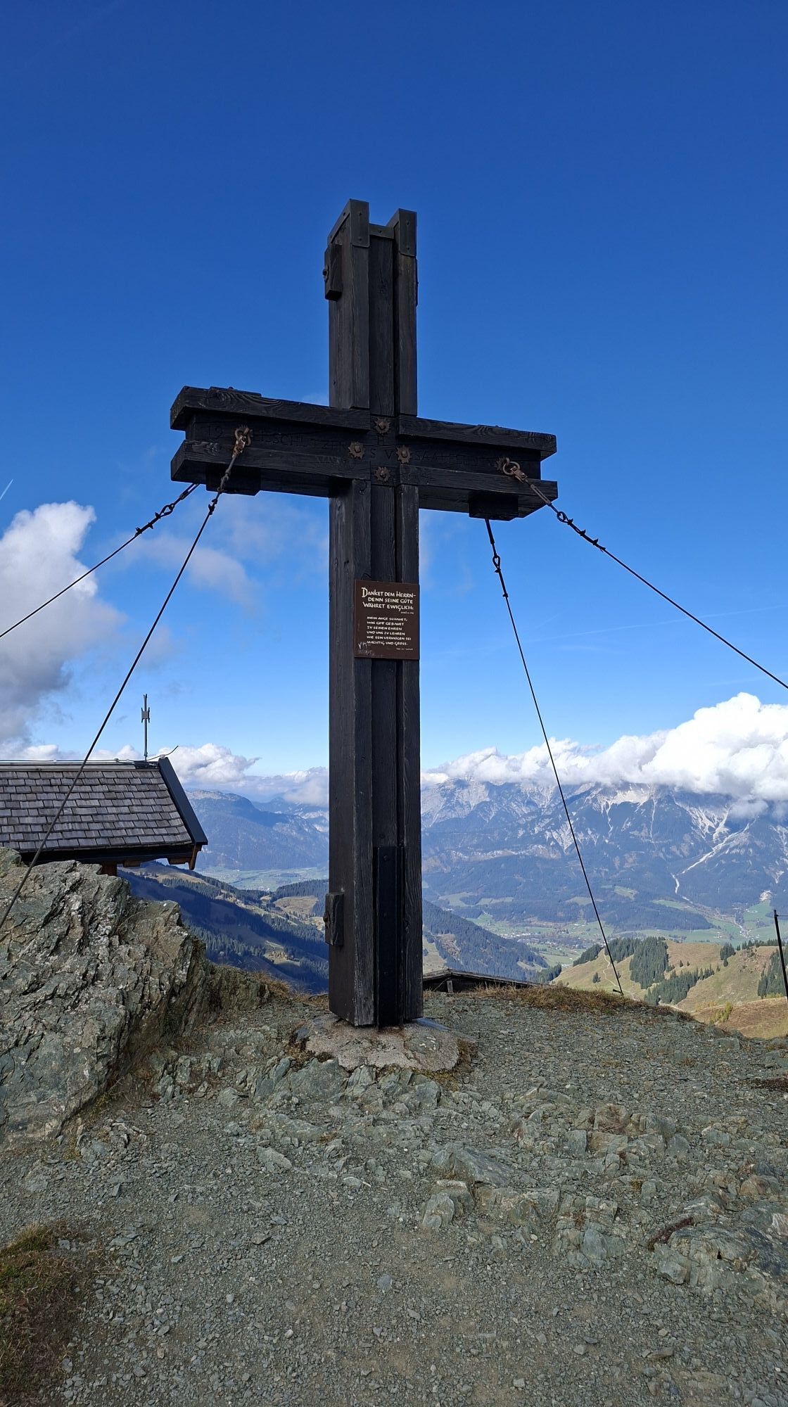
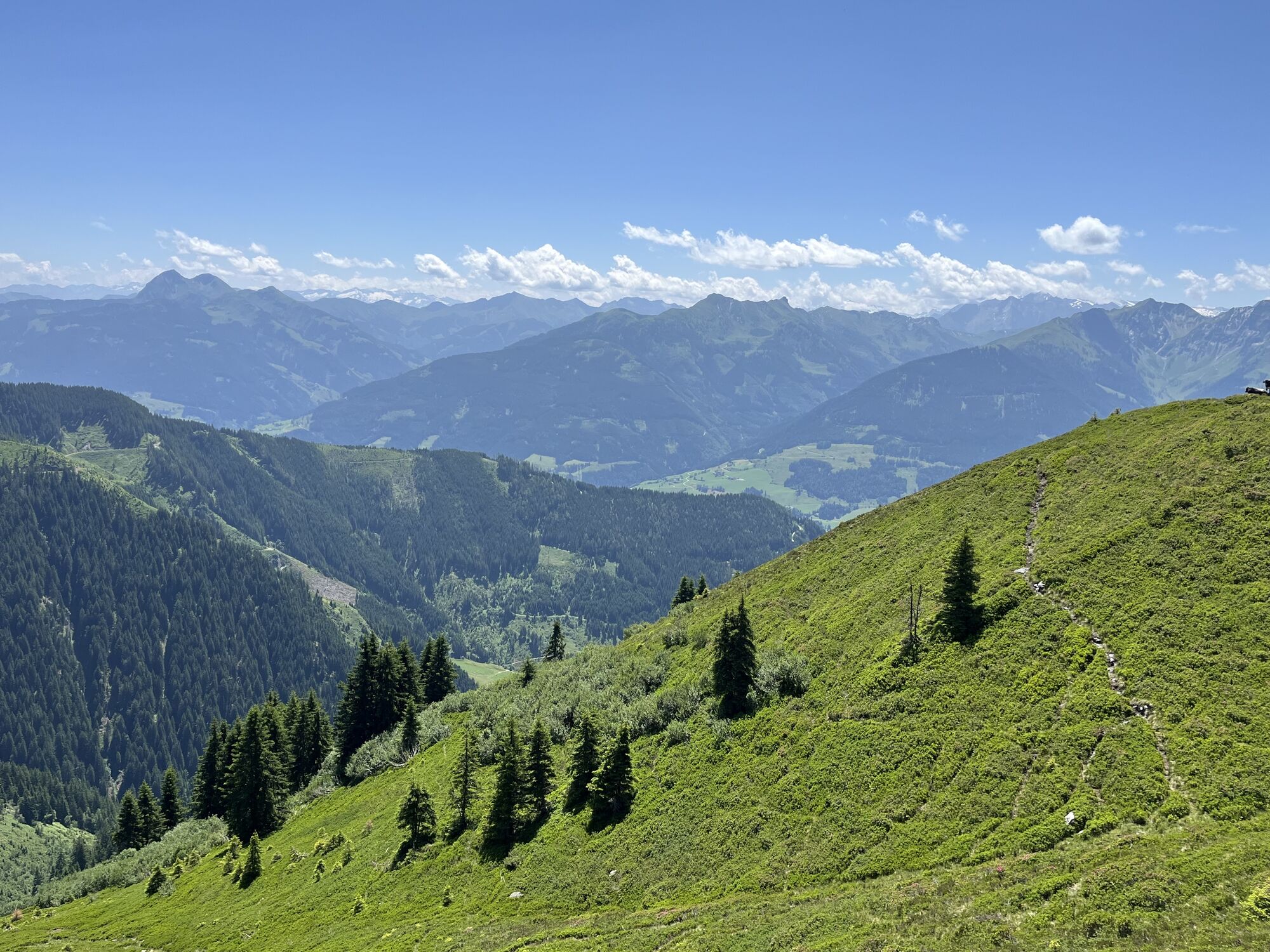
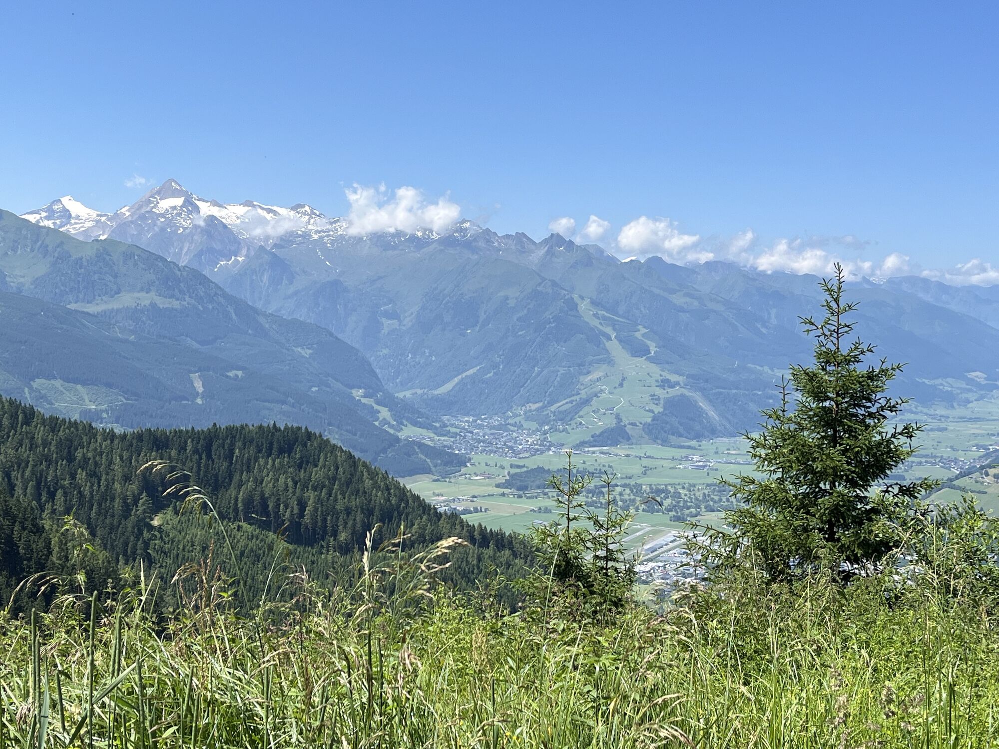
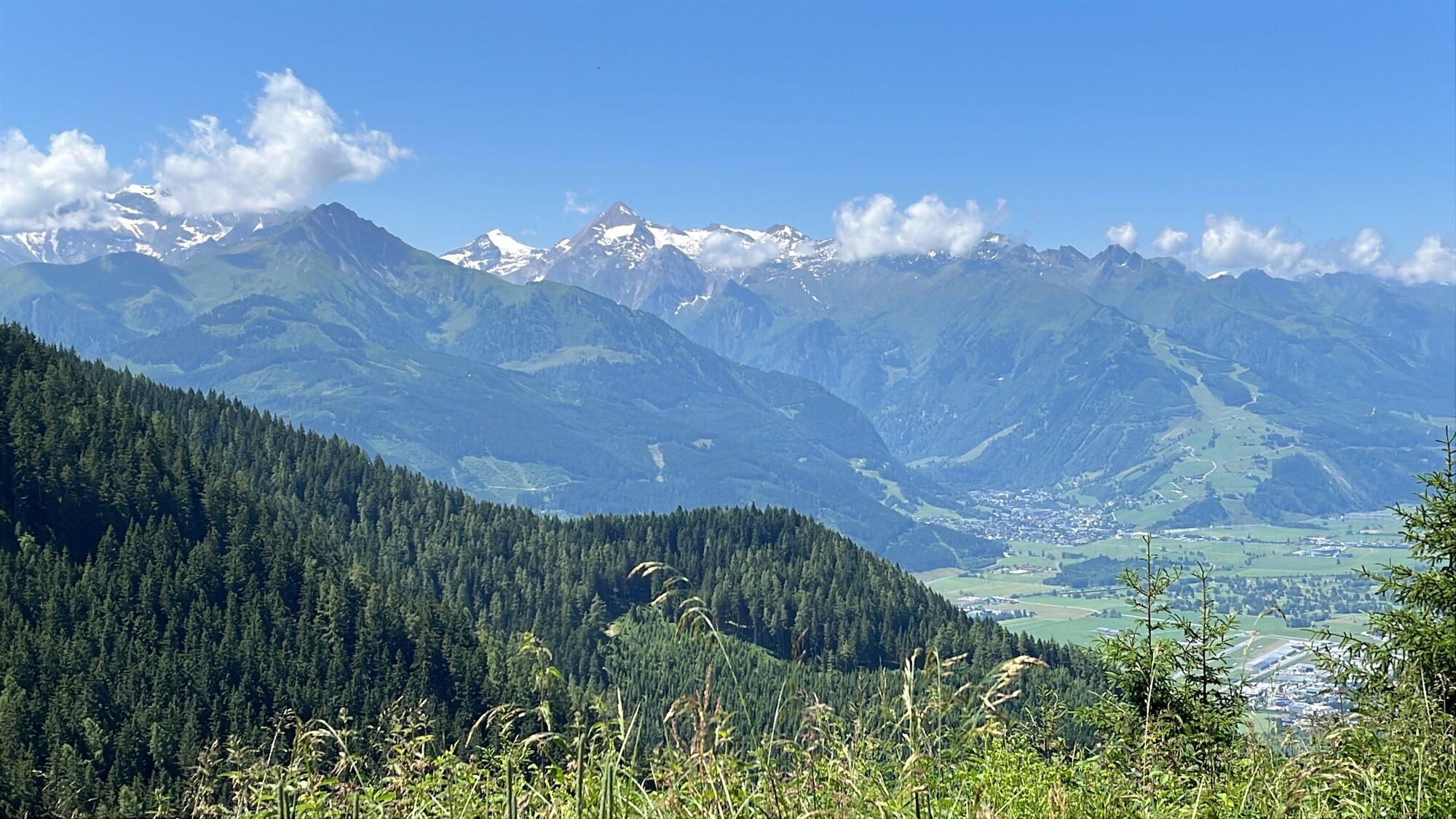
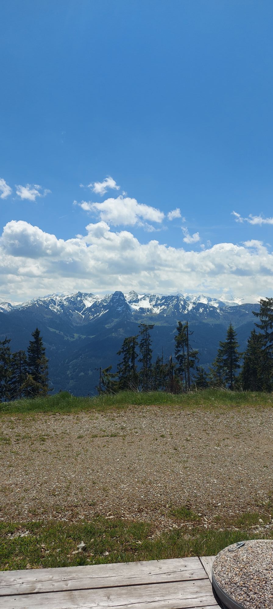
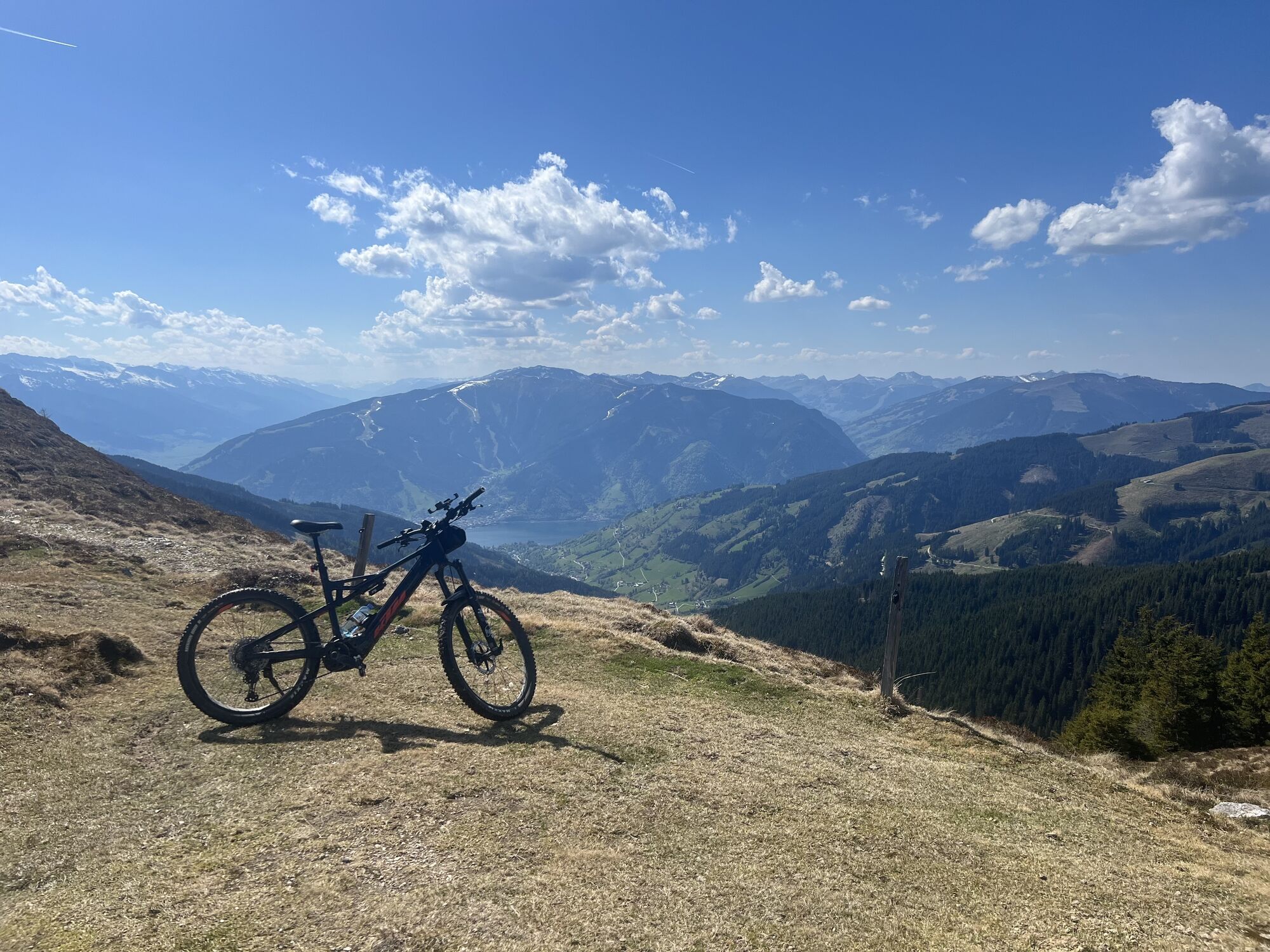
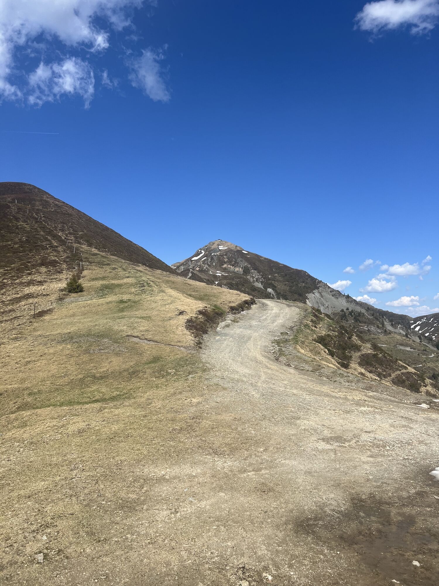
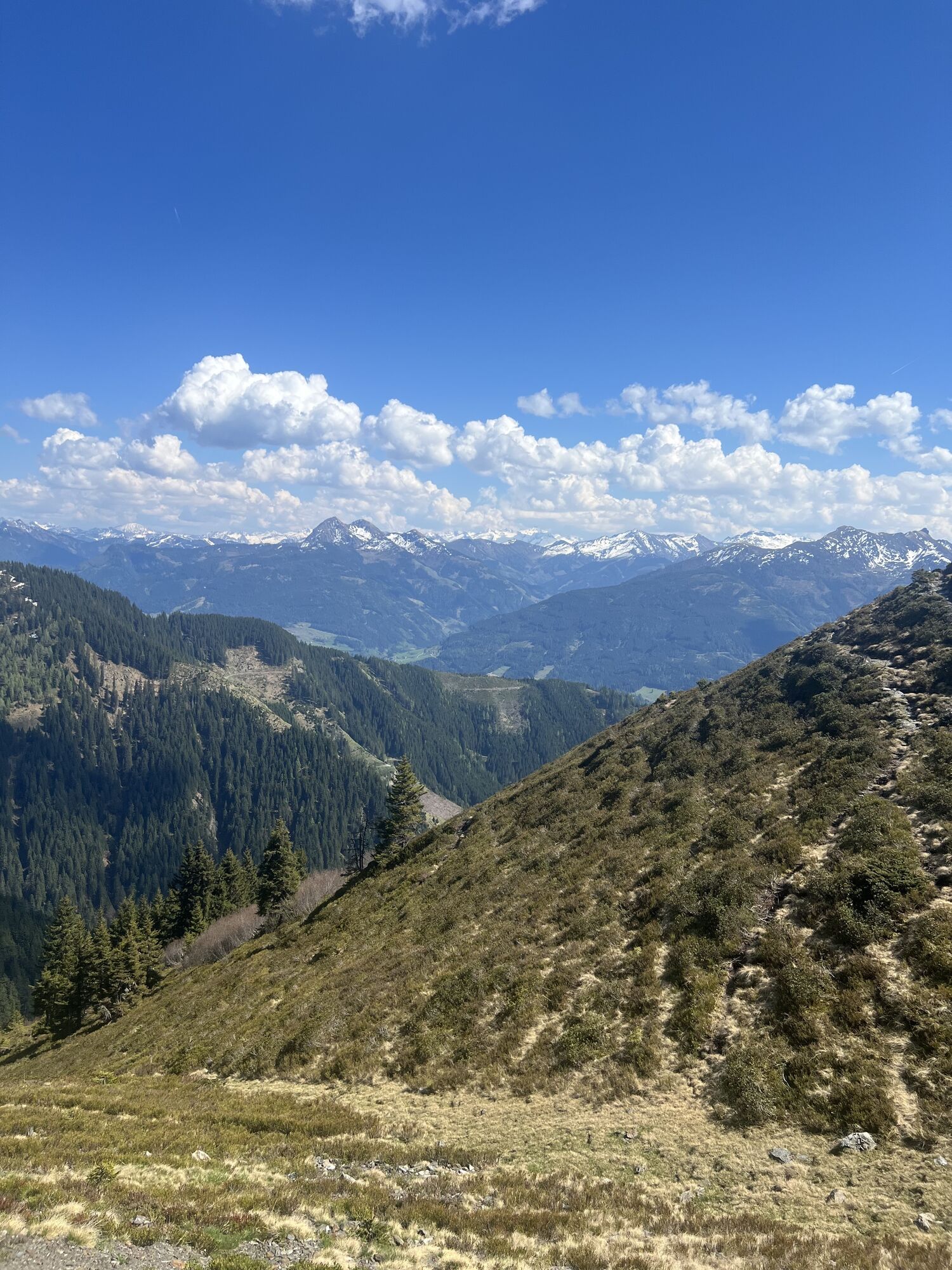
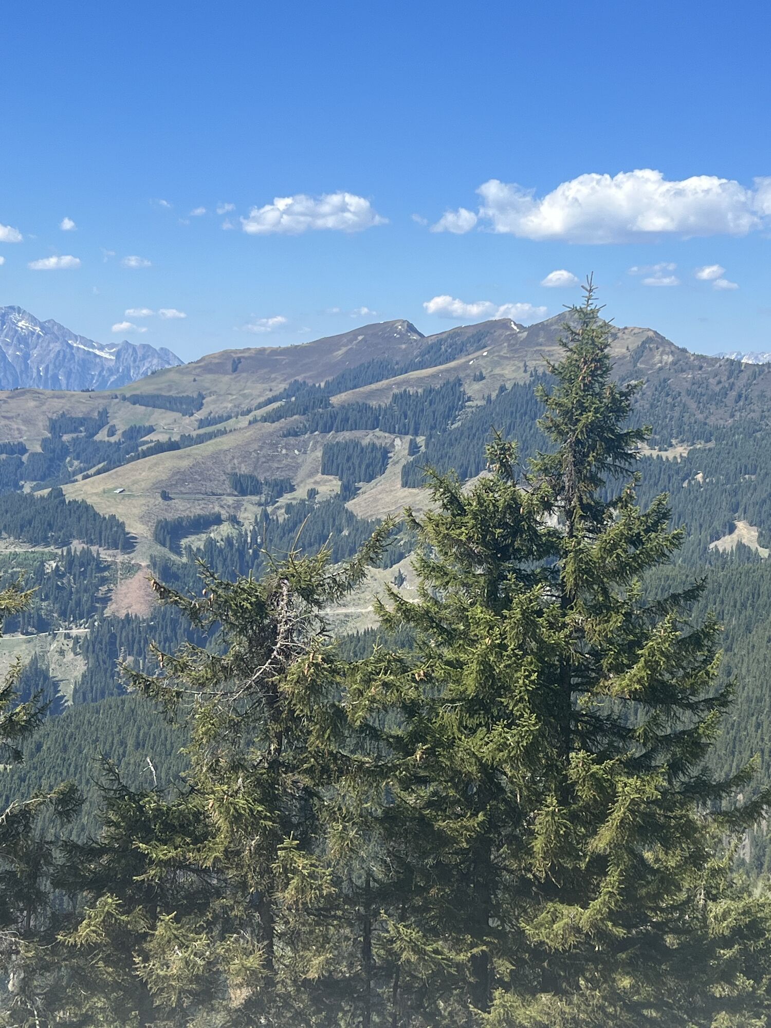
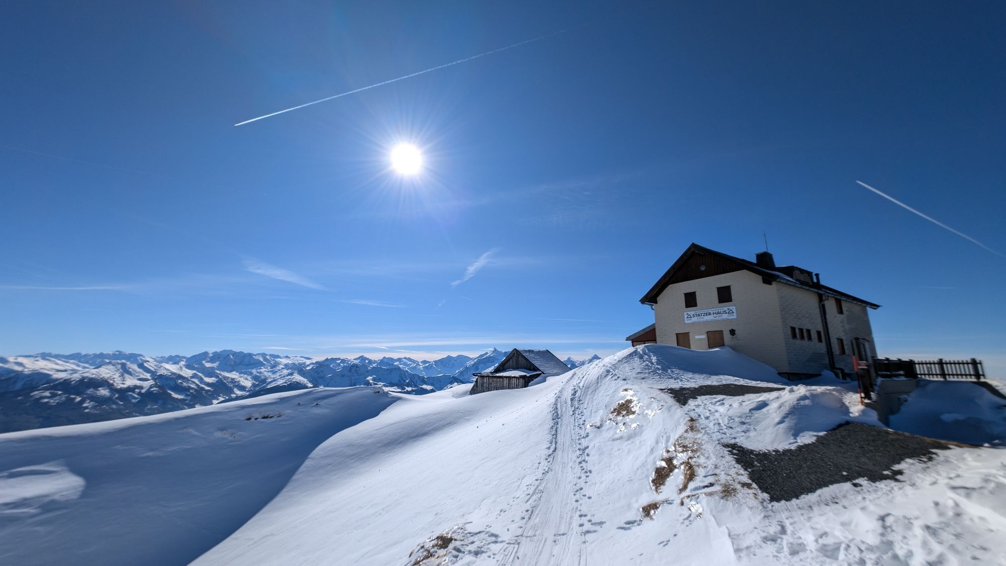
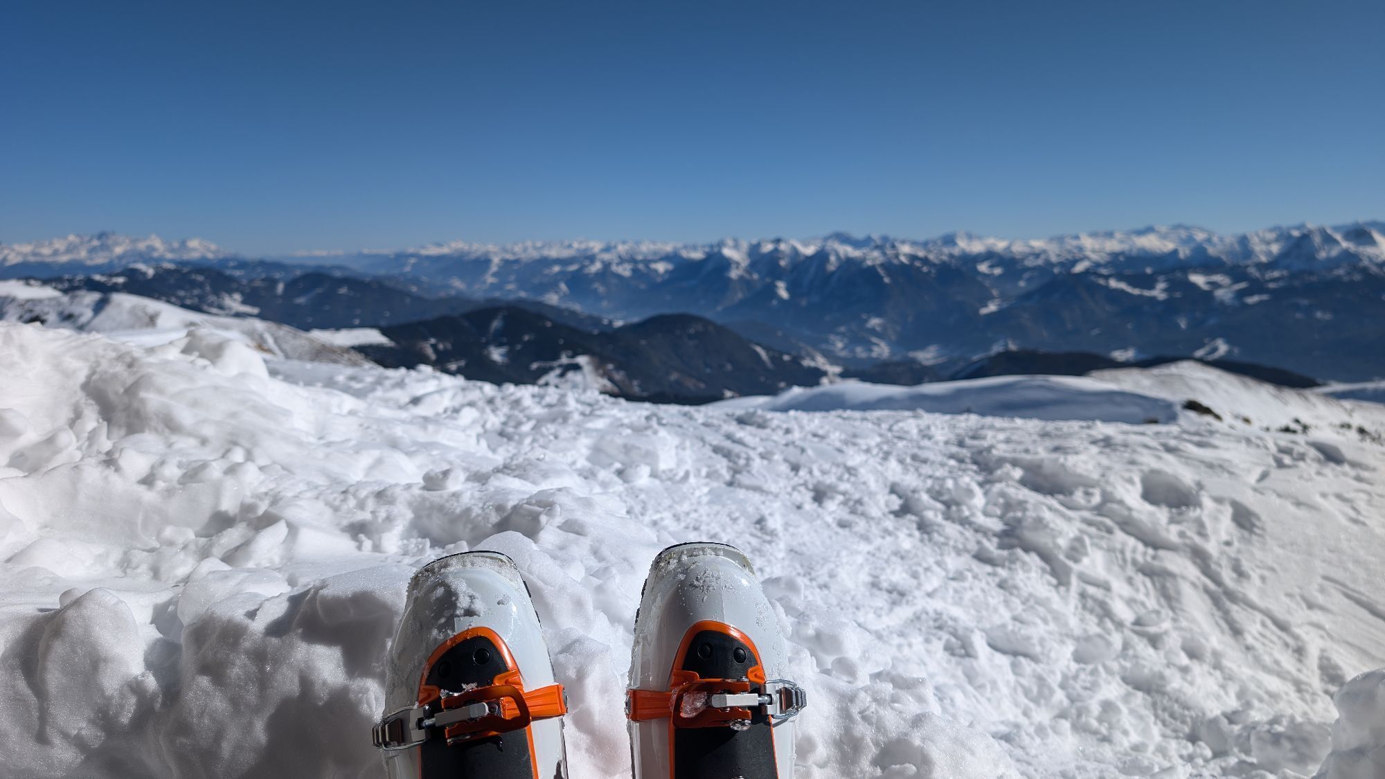
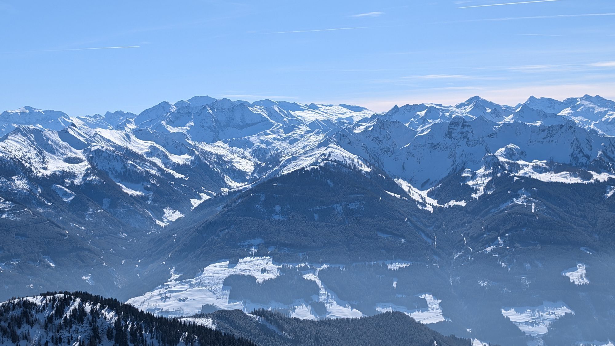
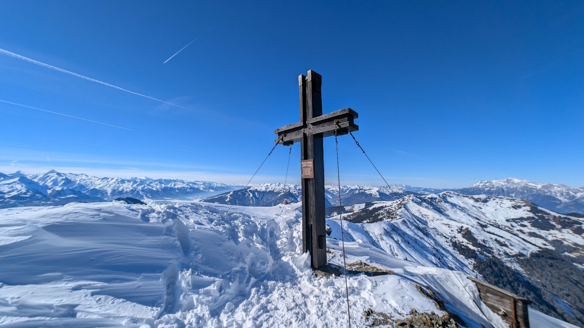
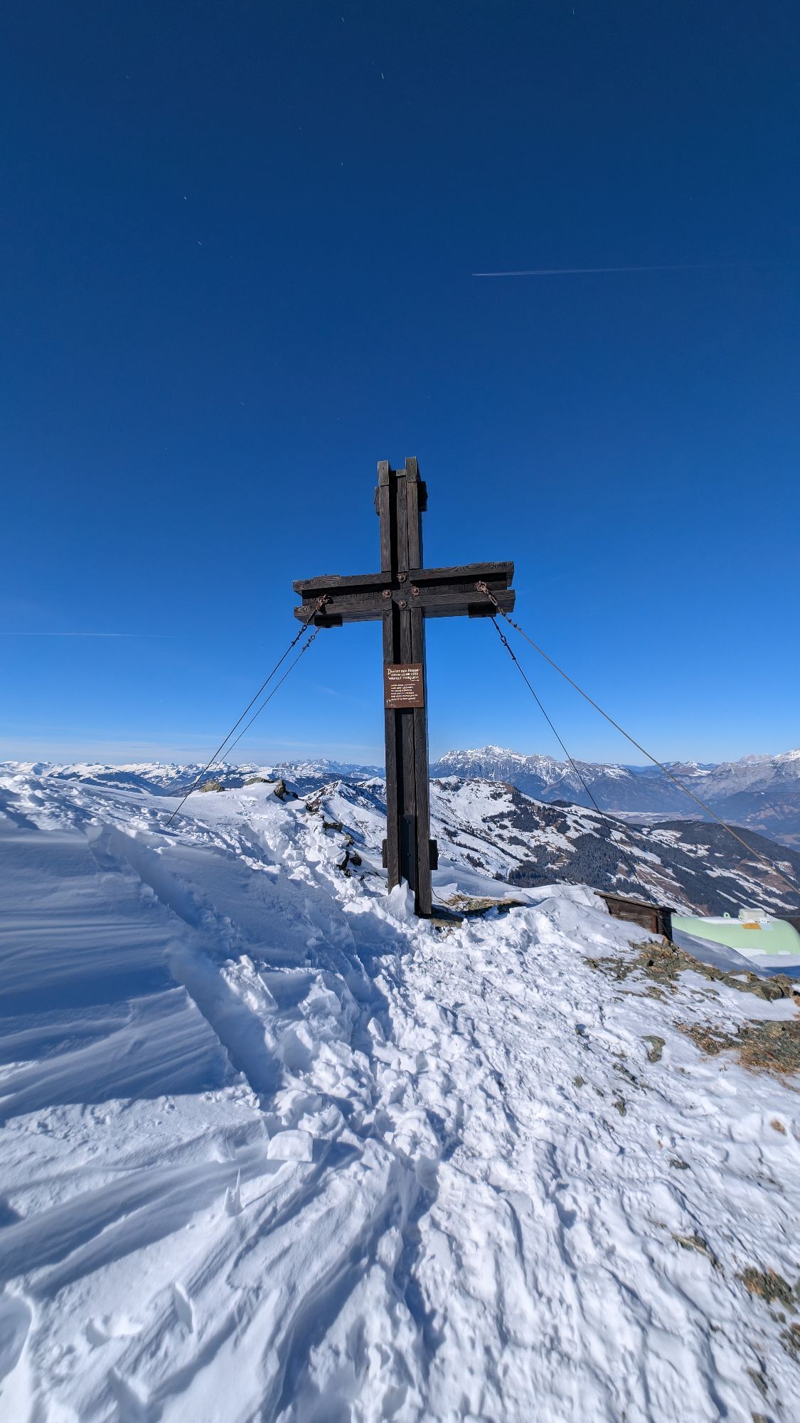
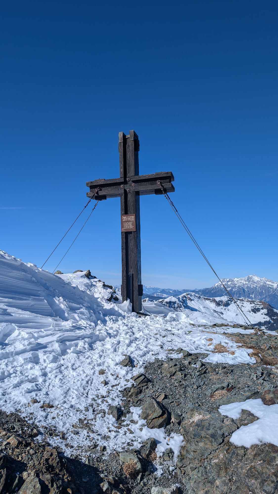
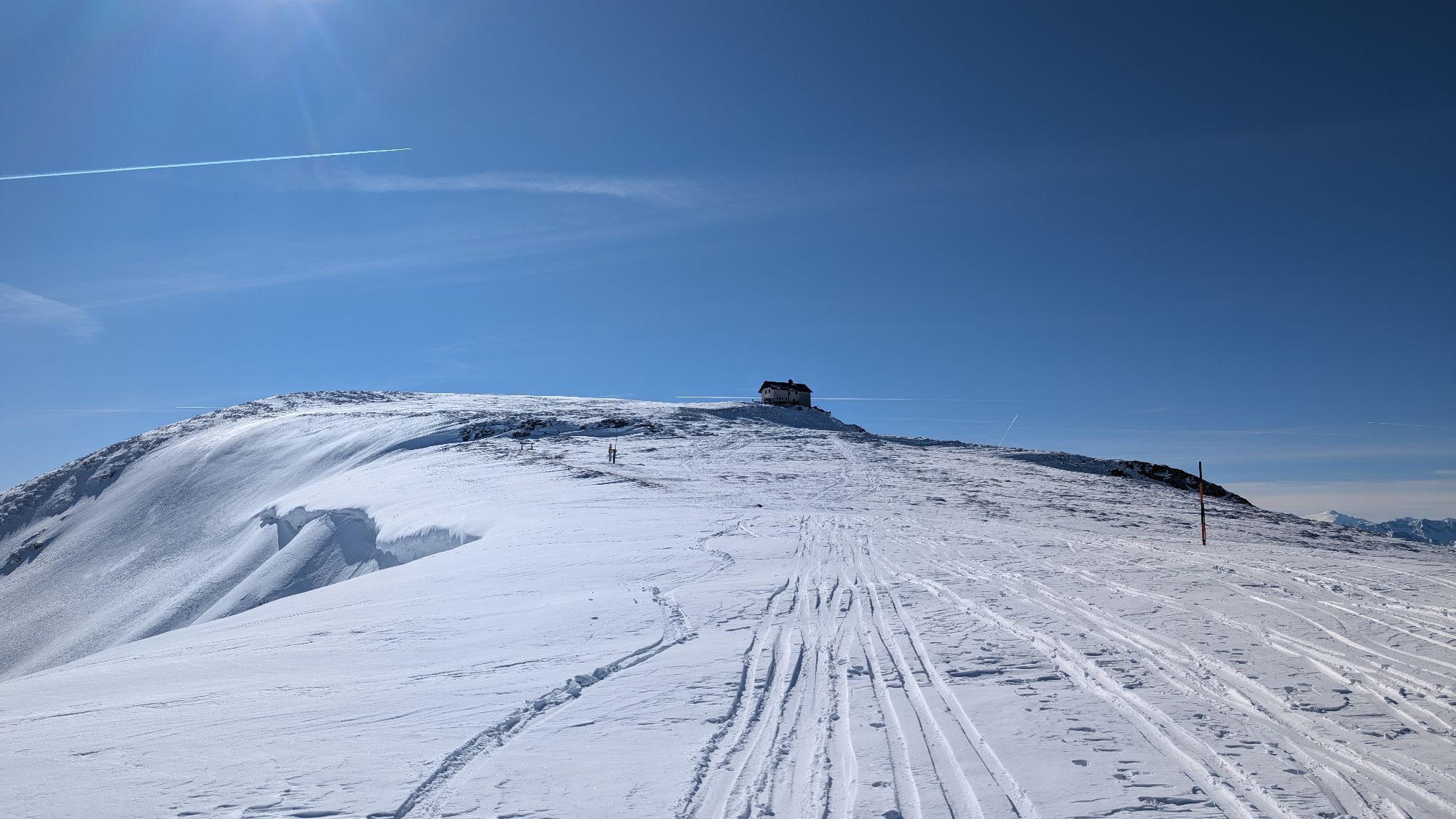
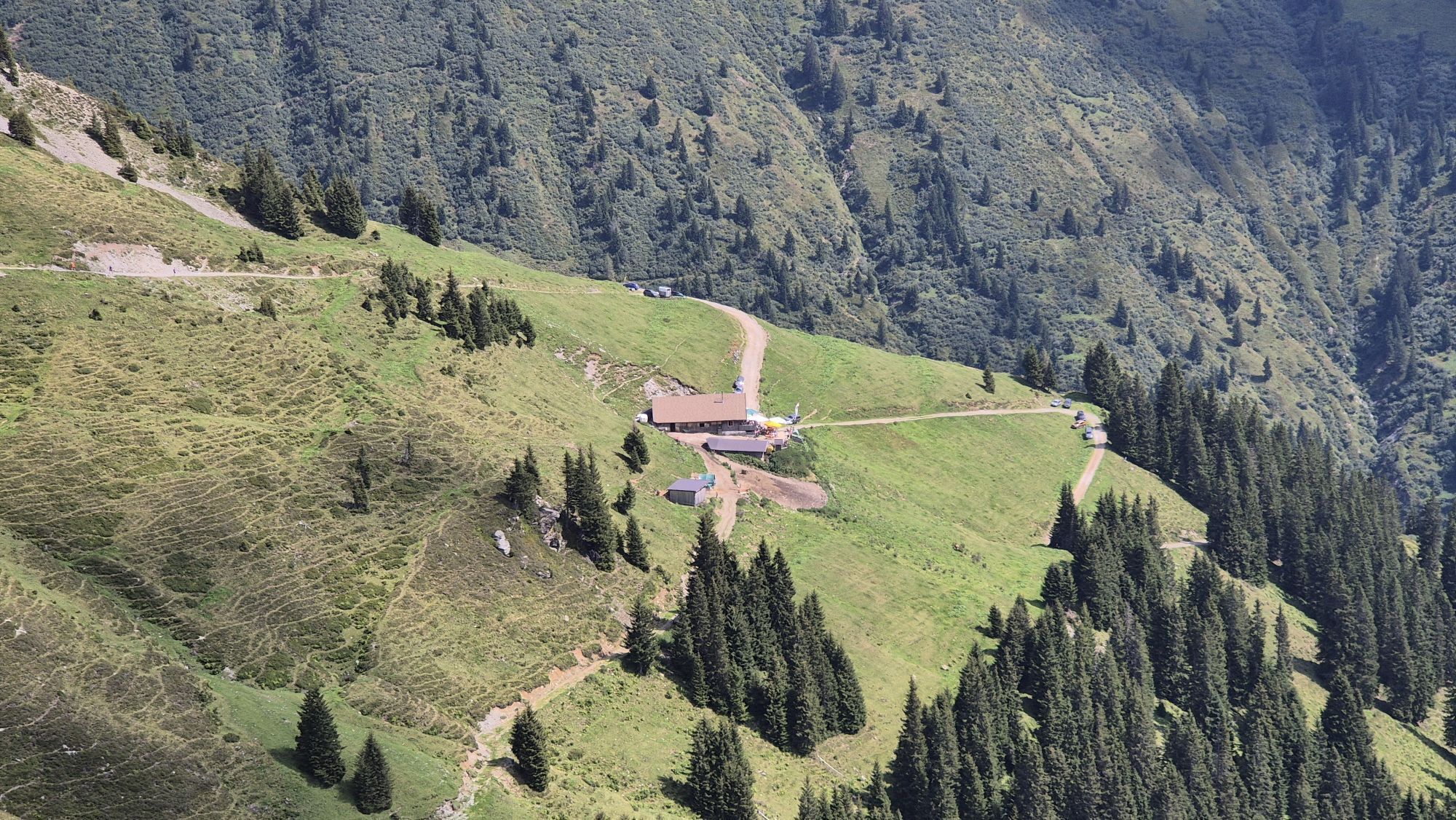
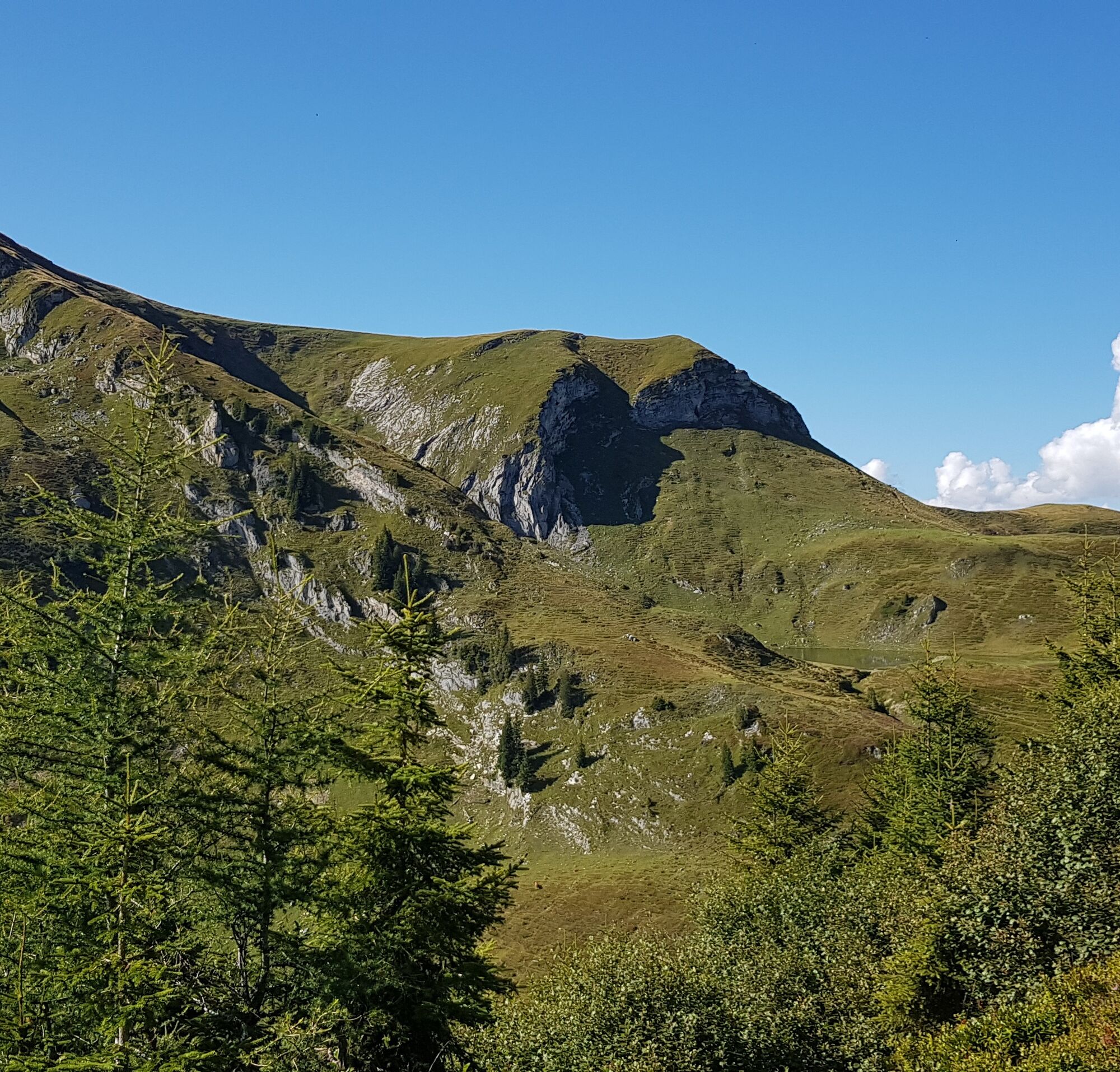
One of the longest stages of the Hohe Tauern Panorama Trail begins: not only because the stage is actually long, but because on nice weather there is a fantastic view and the incredible summit world takes your breath away. No matter where you look from the summit of Hundstein, you see impressive mountains: to the north the northern limestone Alps from the Wilder Kaiser through the Berchtesgaden Alps with Hochkönig to Dachstein and to the south the glaciated peaks of the Hohe Tauern from Ankogel through Großglockner to Großvenediger. With a long ascent, you will be rewarded high up: first through the forest and then for a while along forest roads you reach a ridge whose beauty makes the last part of the ascent not so arduous before you can refresh yourself at the Statzerhaus directly at the summit of Hundstein. Well rested, you can enjoy the wonderful descent down to the Rieser Aste, a managed alpine hut.

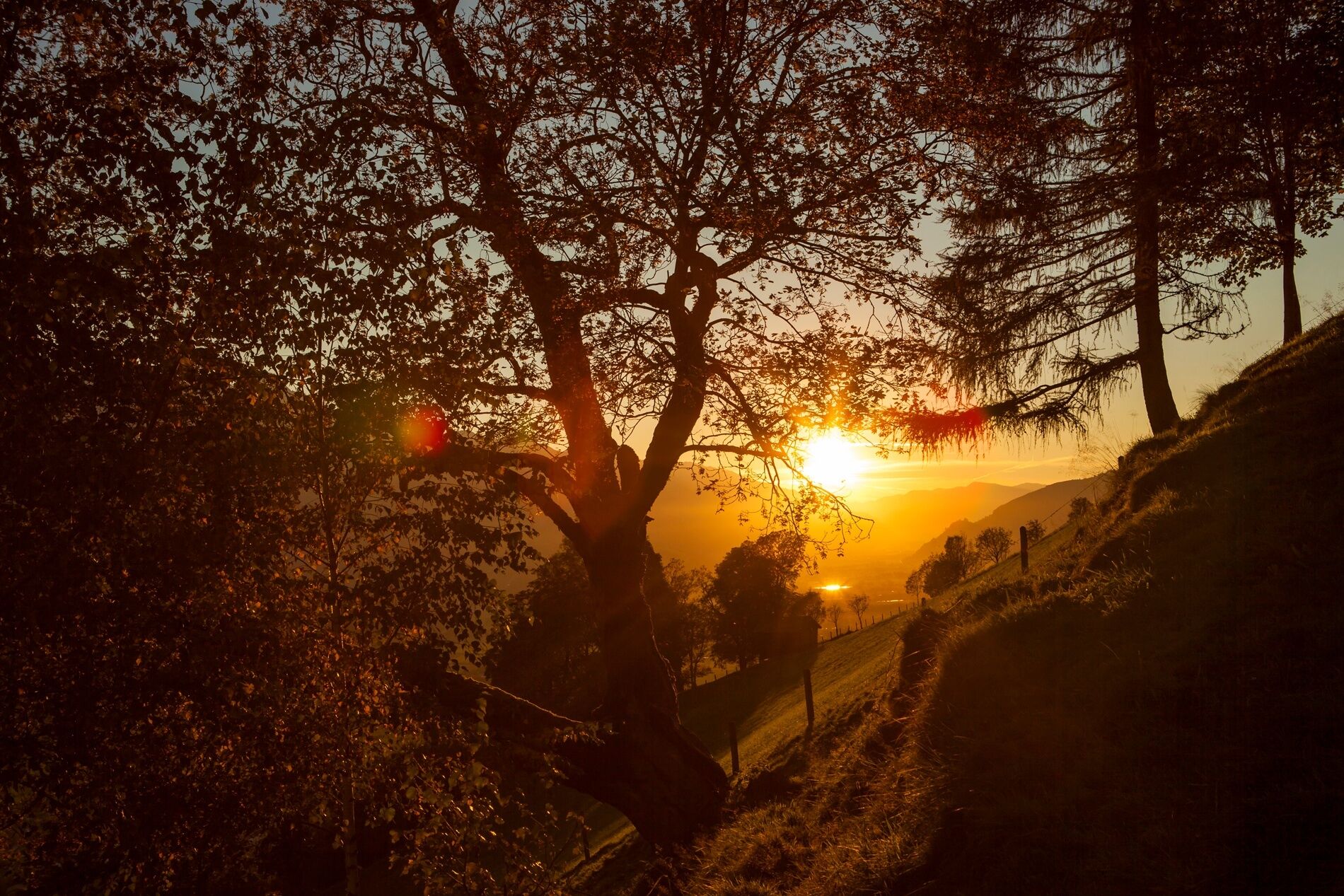
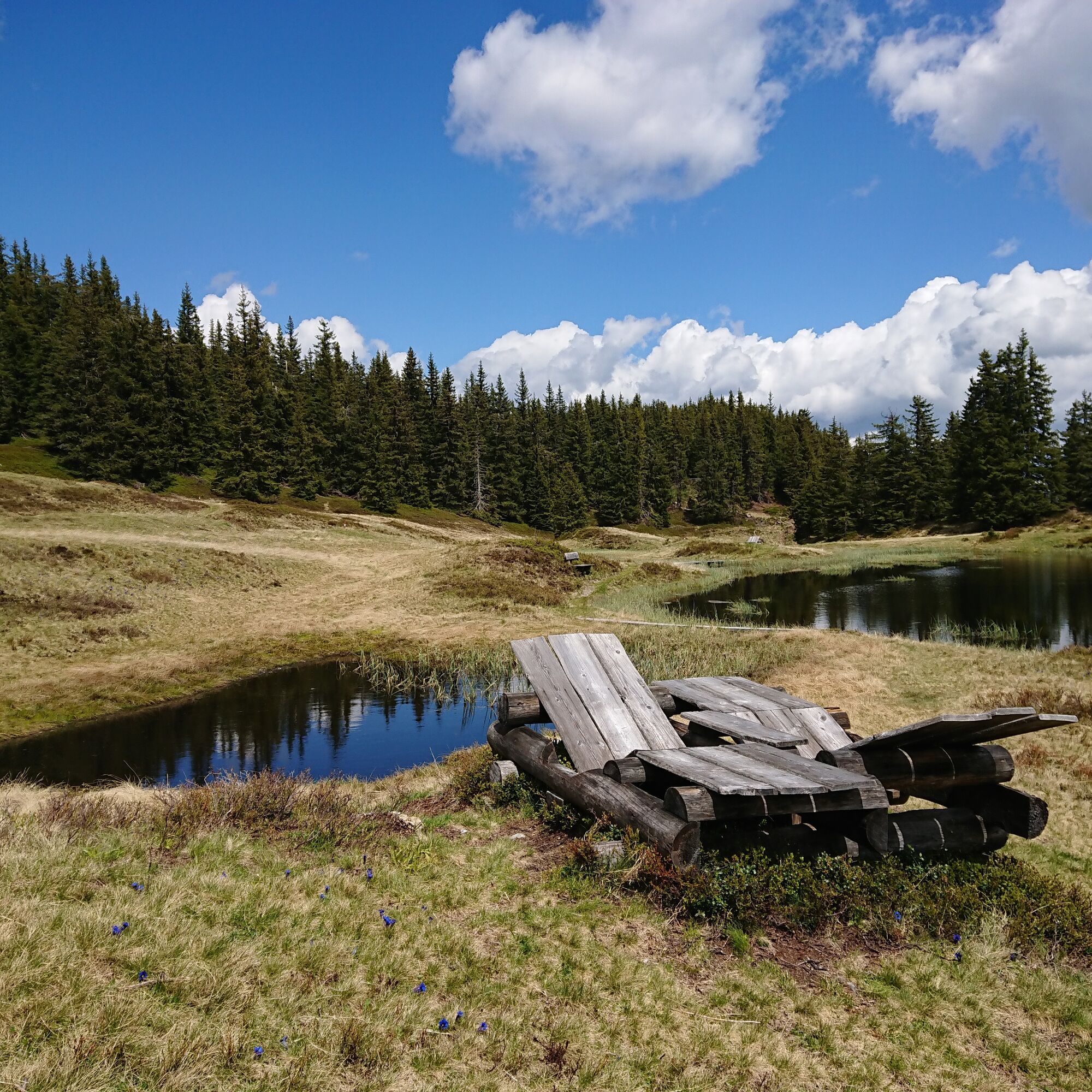
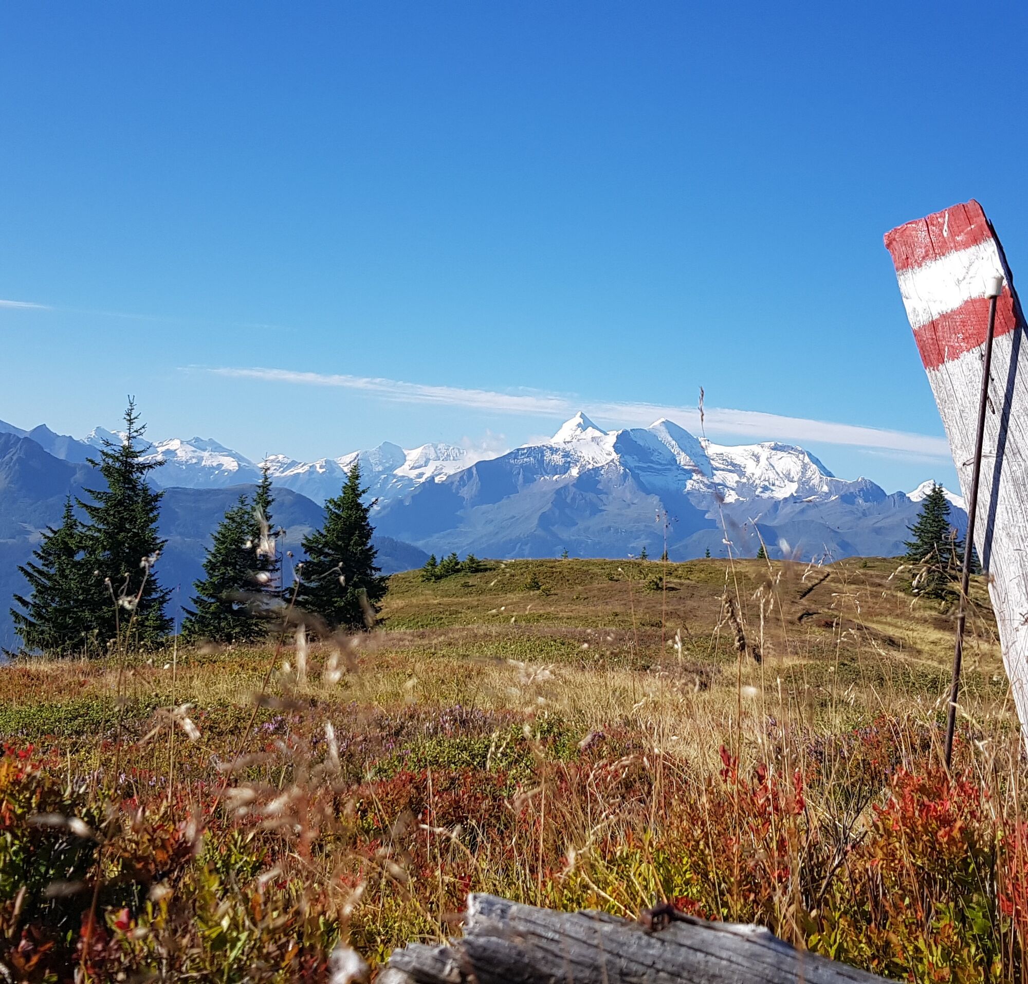
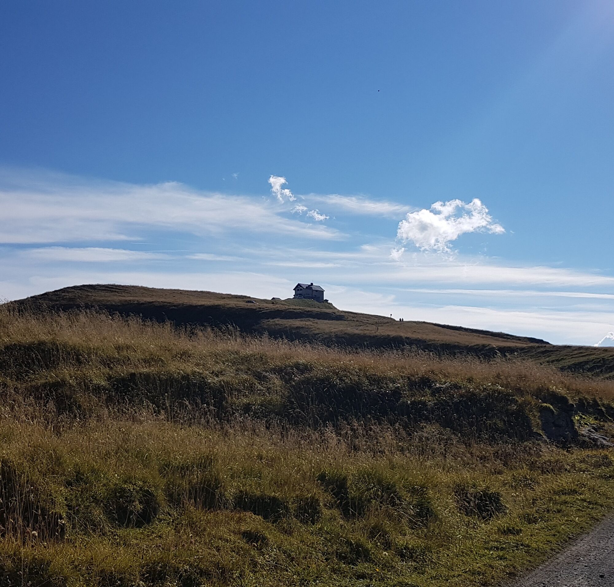

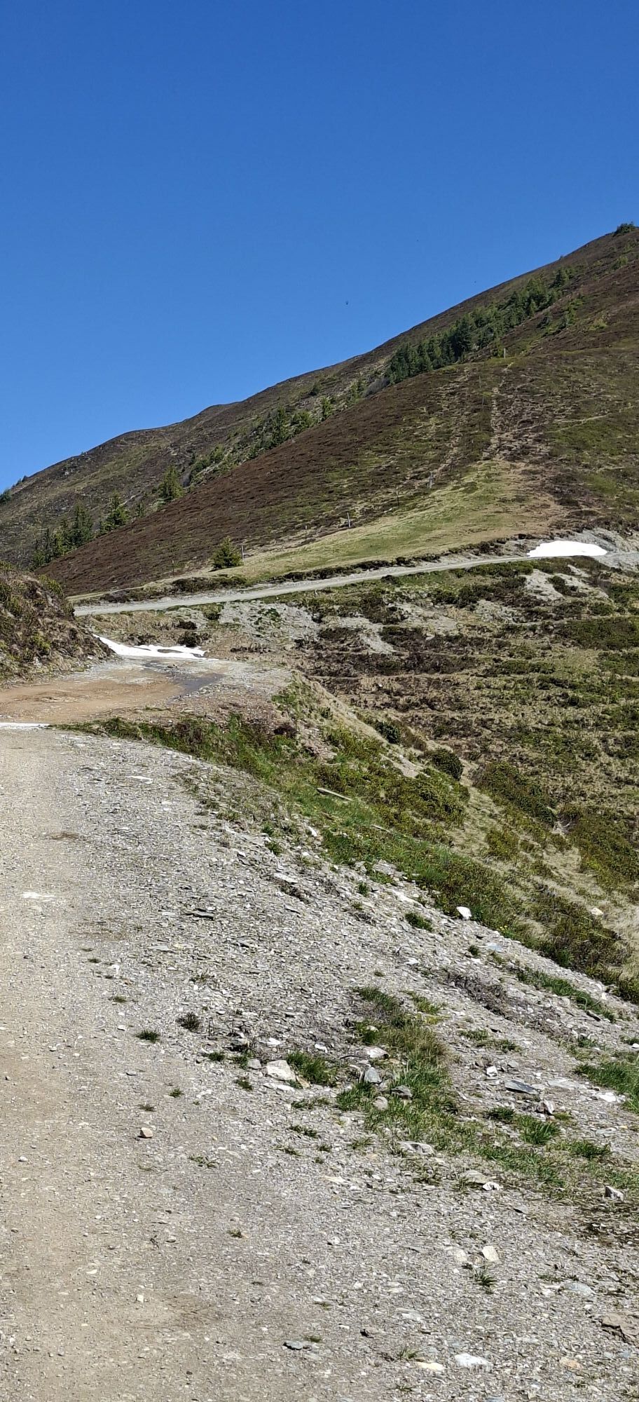
The starting point of the stage is in front of the BRUCK FUSCH | GROSSGLOCKNER tourist information center near the church in the center of Bruck an der Großglocknerstraße. First, you cross the Salzach over a bridge, stand in front of Hotel Lukashansl, and turn left onto Zellerstraße. Shortly afterwards, opposite the pharmacy, turn right onto a small asphalt path (Ww. 444 "Hundstein"). At another signpost, take the sharply right-turning hiking trail, which winds upwards through a very beautiful forest to a forest road. Here follow the road briefly to the left, then immediately turn right again onto another forest road and immediately right again into a hollow path, which you follow to a fork. Both paths lead to the destination and merge again after a short time – however, the Hohe Tauern Panorama Trail follows the right path. Soon you reach the Taxhof, which is beautifully situated on a ridge above the Salzach valley. Pass to the left of the farm building past chalets onto a ridge and continue along the fence, a little steeper upwards to another farm, the Jageregg (Ww. 444 "Hundstein"). After the meadow path, first take the small asphalt road uphill through a right-left hairpin. At Jageregg, the asphalt road turns into a gravel road, and you follow it for quite a while to the so-called "Erlhofplatte", an idyllic plateau with a resting place.
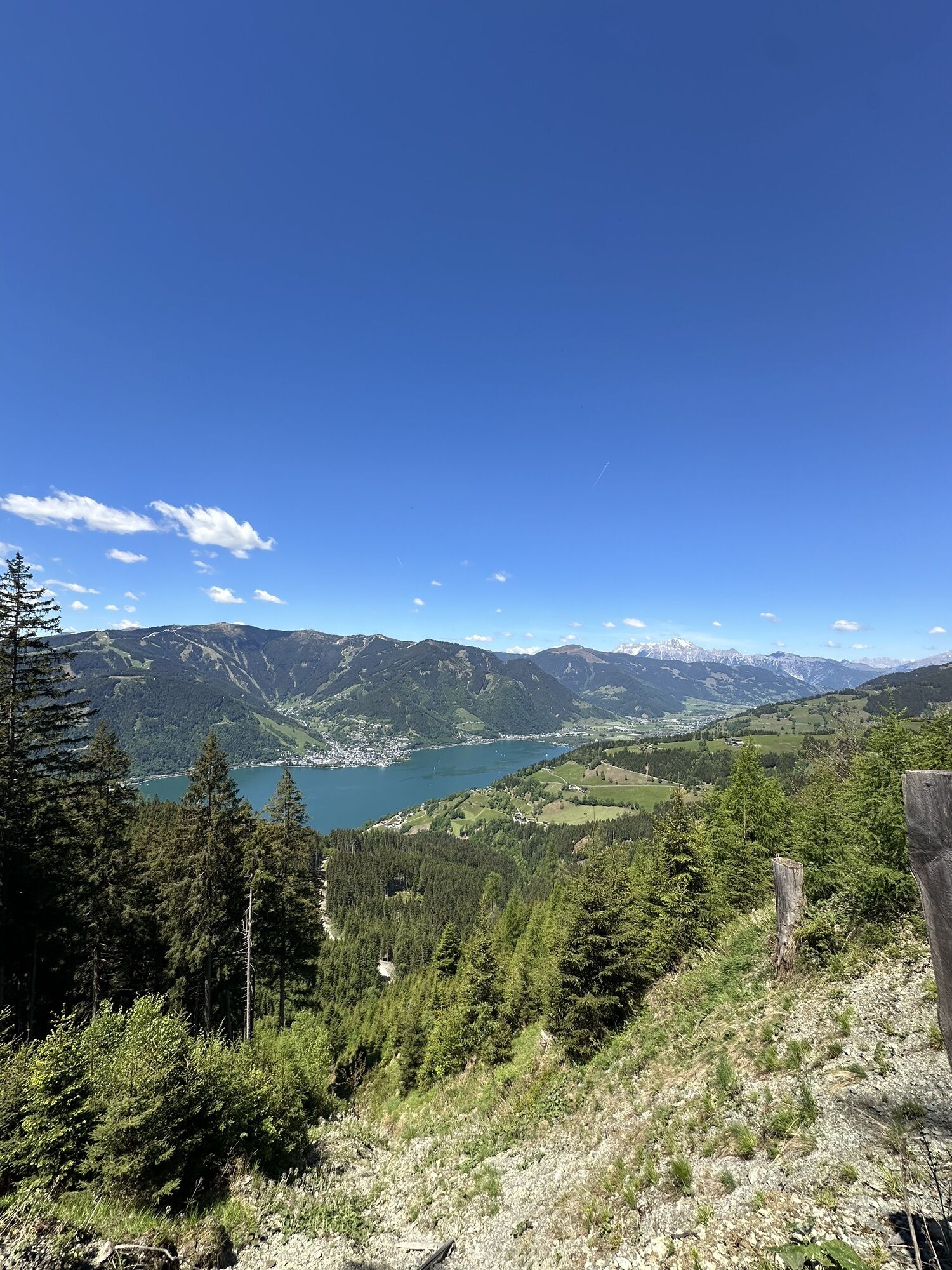
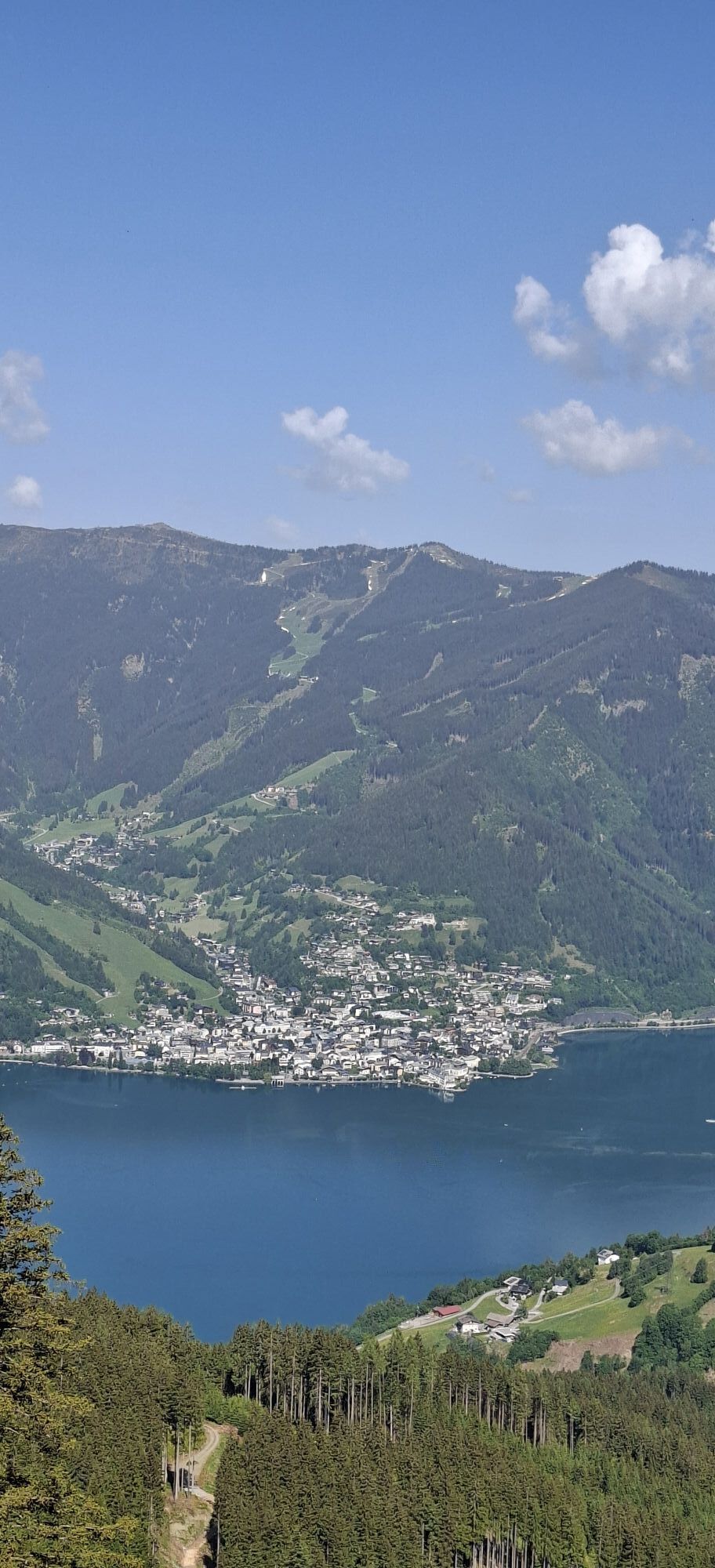
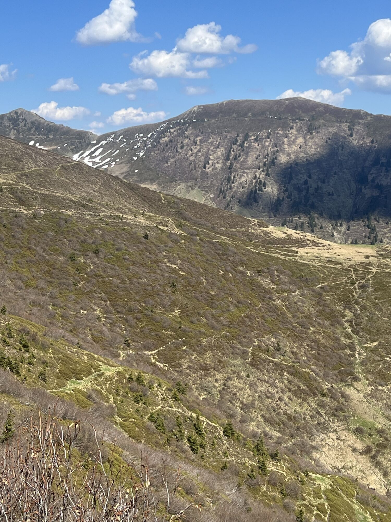
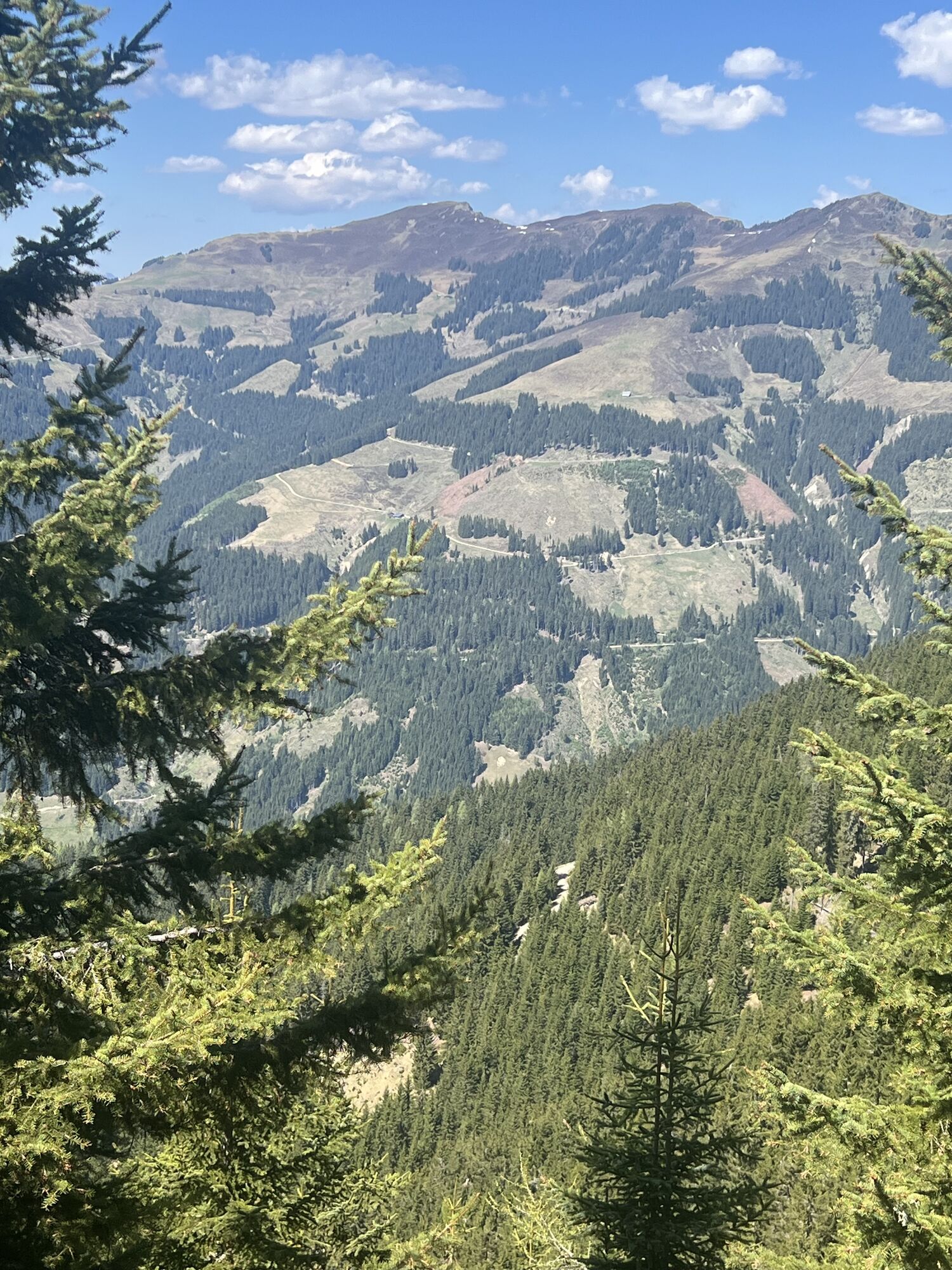
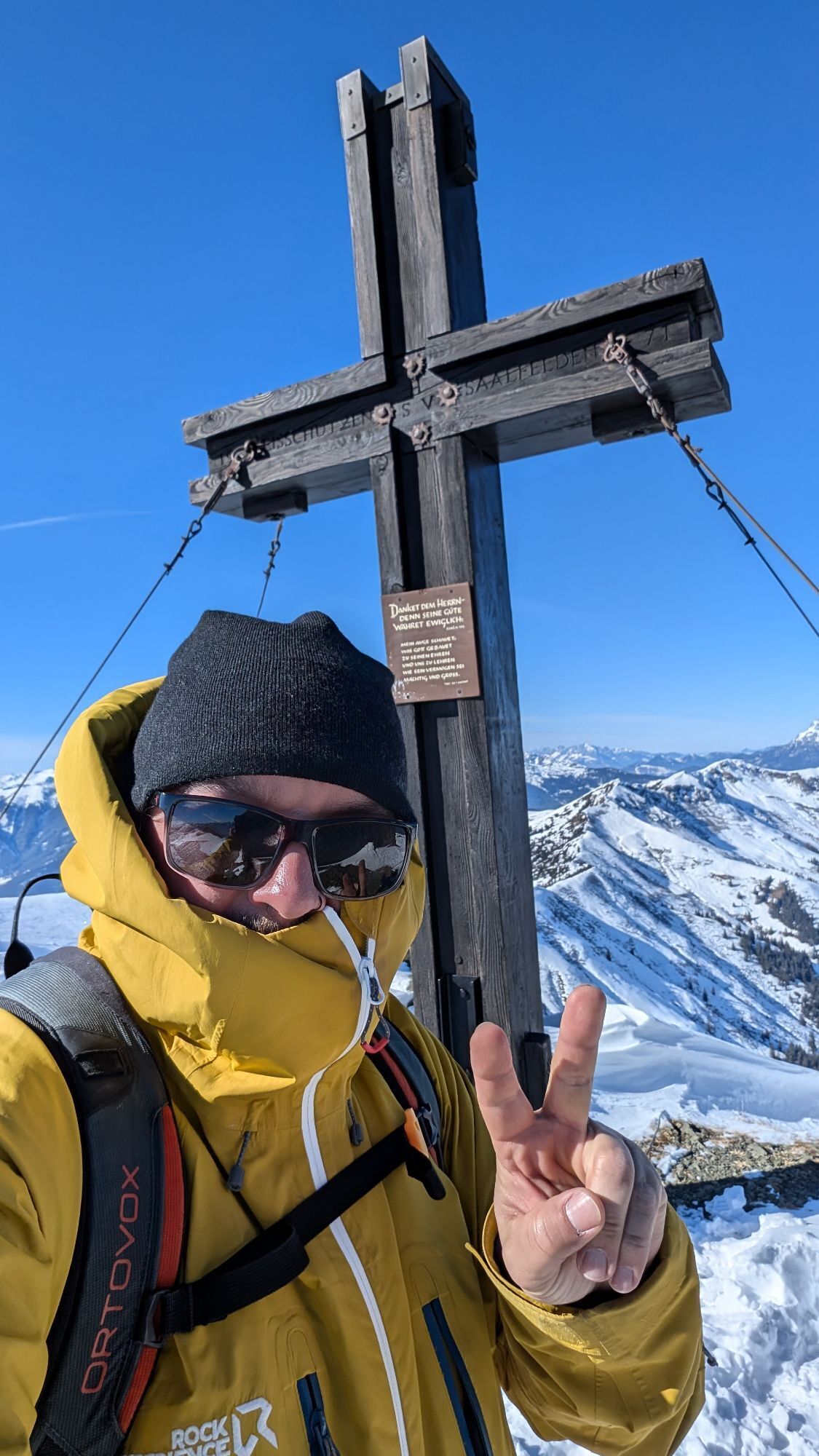
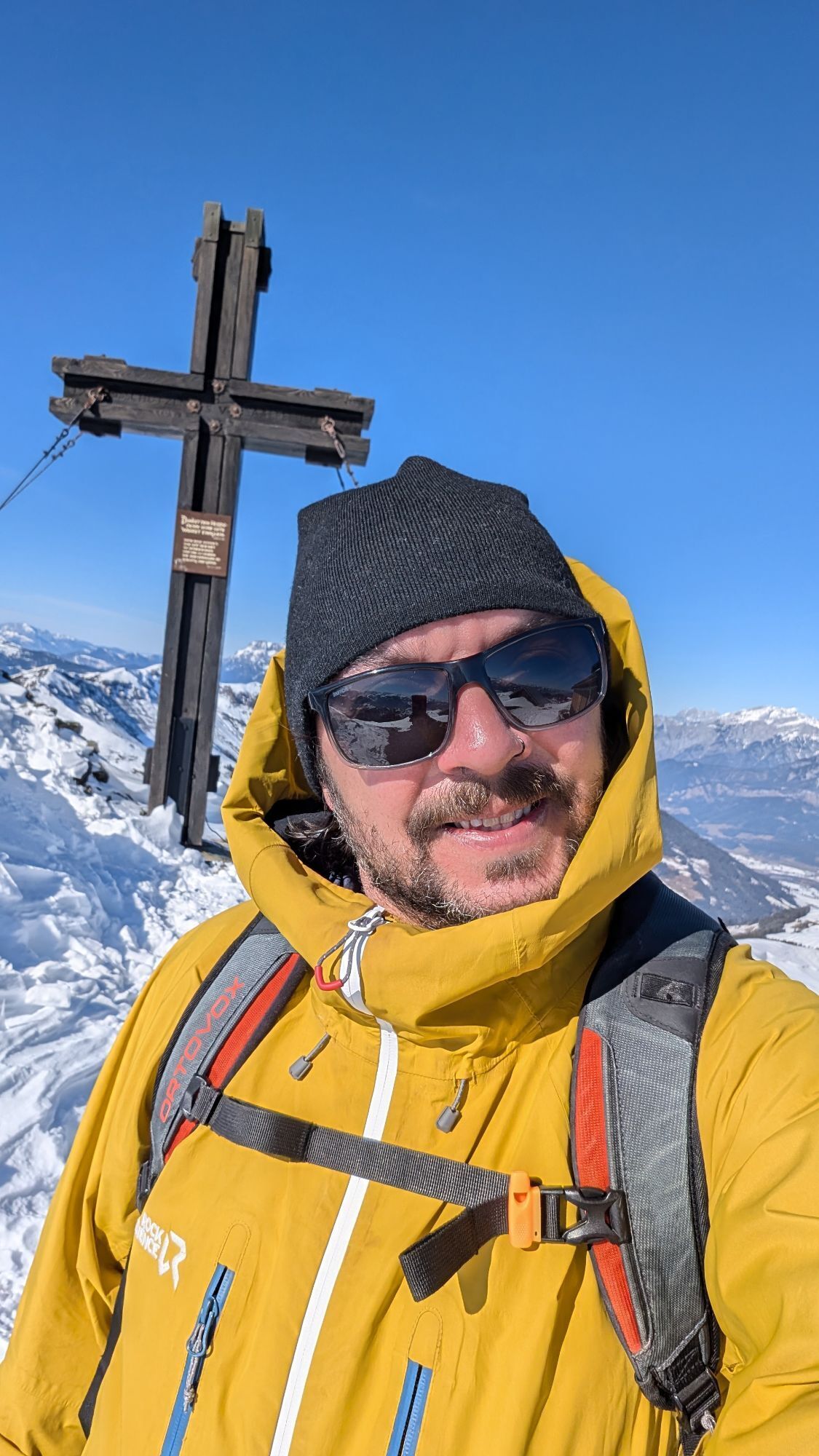
Straight ahead here onto another forest road, which crosses the west and north slopes of Hahneckkogel and Breiter Kopf for about 1 hour 45 minutes, always gently ascending – with beautiful views of the Zeller See far below. A few minutes after passing the so-called "Eisbrunnen", a hiking trail branches off to the right (Ww. 14, 444 "Hundstein over Moosalmhöhe"). From now on, the landscape is outstanding: over a wonderful path and a few boardwalks through the swampy shores of the small Adam and Eva lakes, you reach a hut; the Toralm. [Note: If you stay overnight at the Moosalm, you leave the Hohe Tauern Panorama Trail here and descend to the alm in about 25 minutes via hiking trail no. 14 „Moosalm over path“]. At Toralm, briefly right and immediately left again onto a path that leads along a scenic ridge to the gently pronounced Moosalmhöhe (1,843 m) and beyond down to an alm road. Follow this slightly ascending close to the ridge below Ochsenkopf until you reach a notch between Ochsenkopf and Hundstein. A final steep ascent directly over the ridge brings you to the Statzerhaus right at the summit of Hundstein (the left path from the notch bypasses Hundstein and later rejoins the route). Most of the ascent is now done – it is time to refresh yourself and enjoy the view: Among the many beautiful viewpoints along the Hohe Tauern Panorama Trail, Hundstein perhaps offers the most beautiful view.
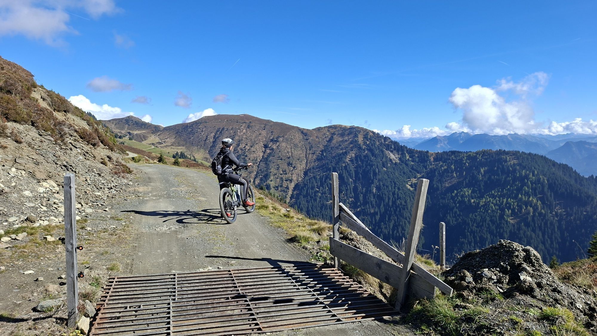
Then after the summit break, hike down the other side of the mountain along a forest road towards "Taxenbach" (path no. 12/15/410). At the third hairpin (a left turn), a path branches off straight ahead towards "Taxenbach". Descend briefly on this initially rough path and, at the next fork, turn right again following the "Taxenbach" signs to an alm area above the Hundsteinsee with a crossing over a fence. Behind this, the paths split: here you take the right path towards "Taxenbach" (no. 15/15a/410). Shortly afterwards, at the next fork, follow the left path towards "Taxenbach" (no. 15) up to the saddle between the small peaks Ochsinger and Galtviehkopf.
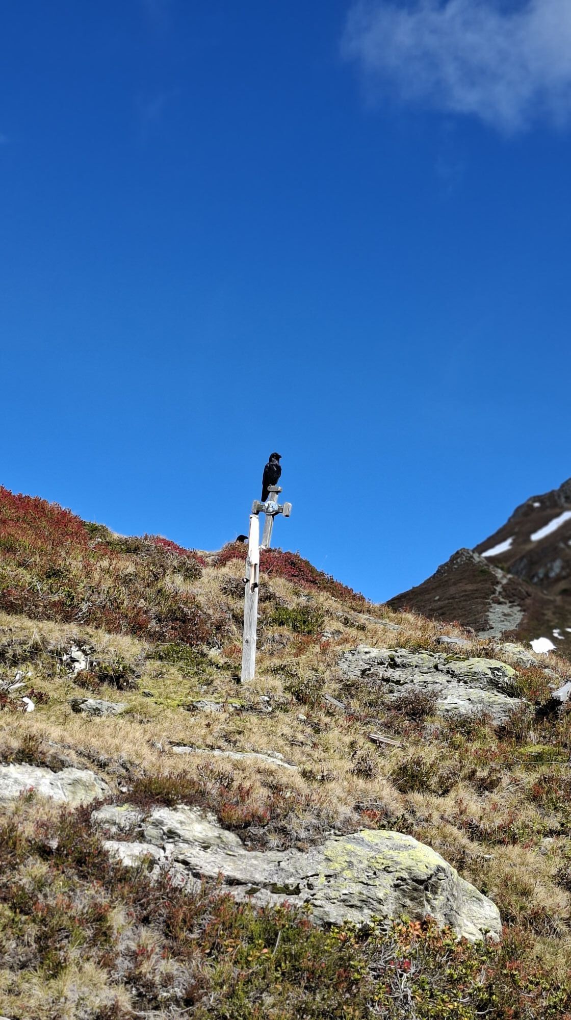
Now overcome a last short ascent towards "Taxenbach/Pfarrachhöhe" (no. 15), cross below the Galtviehkopf, and descend along the ridge to a fence crossing at Pfarrachhöhe above the distinctive crosses. Left over the fence and down the southeast ridge or along the fence a good stretch over alpine meadows (path no. 15). Then cross on a path north of Lammstein again to a ridge and descend – crossing a forest road once – on the path to another forest road. Follow this down to the managed alpine hut Rieser Aste and in another 40 minutes over the forest road (passing a farm at the end) to the "Rieser Aste" parking lot. Here, by prior arrangement, you can book a taxi to Taxenbach, which saves about an hour (4 km or 660 m elevation difference).
If you walk on foot to Taxenbach, follow the small asphalt road always logically downhill to the start of the town of Taxenbach (Ww. "Taxenbach" no. 2,3). Here the Grubenhöflweg leads left to the church. Then descend by steps through the cemetery and now you have reached the stage destination in front of the tourist information in Taxenbach.
Tak
Normal hiking equipment, good footwear, sufficient fluids, change of clothes, rain jacket
WARNING: This stage is not recommended during very stormy weather, as you walk along ridges for a long time from midday onwards. The 7-hour walking time applies when using taxis; otherwise, you will be on the trail about 1 hour longer.
Coming from the north: German Autobahn A9 from Munich
Coming from the east: A1 West Autobahn
Coming from the south: A10 Tauern Autobahn
Coming from the west: A12 Inntal Autobahn to Wörgl (then on federal roads)
The Bruck-Fusch train station is located directly in the village center of Bruck.
Stansy parking lot (near station) - Google coordinates: 47.285605, 12.827532
Holiday Region National Park Hohe Tauern
Gerlosstraße 18 5730 Mittersill, Austria
Tel. +43 6562 40939 E-Mail: hohetauerntrail@nationalpark.at
Booking Center & Info-Hotline Trail Angels GmbH
9821 Obervellach 15, Austria
Tel. +43 4782 93093 E-Mail: info@bookyourtrail.com
The walking time of about 7 hours applies when using the taxi from the "Riser Aste" parking lot to Taxenbach.
This stage is very long. However, there are several options to shorten it or stay overnight during the route:
Overnight stay at the Moosalm (higher price and quality level) about 1 hour 30 minutes below Hundstein Overnight stay at the Statzerhaus (simple, small mountain hut) directly at the summit of Hundstein Taxi from the "Rieser Aste" parking lot about 40 minutes walking time below the Rieser Aste (time savings of about 1 hour, 4 km or 660 m elevation difference).Kamery internetowe z trasy
Uzyskaj wgląd
Zawsze na żywo z ponad 9 500 kamer internetowych. bergfex Jako użytkownik Pro, możesz teraz zobaczyć odpowiednie kamery internetowe dla wielu wycieczek w aplikacji wycieczki od. Pozwala to na bezpośredni podgląd aktualnych warunków.

Popularne wycieczki w okolicy
-
4,4
Maria Alm - Riemannhaus
Wędrówka 3,99 km -
4,8
Summit stormer route Lauskopf
ciężkiWędrówka 8,16 km -
4,8
Summit storming route Taghaube
ciężkiWędrówka 6,25 km -
4,6
Steinalm
światłoWędrówka 2,71 km -
4,3
Schwalbenwand Nr. 80, 81, 82
średniWędrówka 13,0 km -
4,4
Peter-Wiechenthaler Hut
średniWędrówka 4,32 km -
4,9
Breithorn
średniWędrówka 10,0 km -
4,8
Highlight Kitzlochklamm Classic round
średniWędrówka 2,02 km -
4,9
Hochkönig - Gipfel der Gefühle - Matrashaus
ciężkiWędrówka 20,9 km -
4,4
Alpine and hut hike "Hochmaisalm & Steinbockalm"
średniWędrówka 8,10 km
Wędrówki i tropienie


Nie przegap ofert i inspiracji na następne wakacje
Twój adres e-mail została dodana do listy mailingowej.





