







Mittersill: Kneipp Active Learning Trail Trail no. 58
Poziom trudności: T1
This approximately 3 km long circular route in the Bürgerwald is offered to you by the Kneipp Active Club Mittersill/Pinzgau. 5 stations invite you to do stretching exercises, suitable for hikers, Nordic...
This approximately 3 km long circular route in the Bürgerwald is offered to you by the Kneipp Active Club Mittersill/Pinzgau. 5 stations invite you to do stretching exercises, suitable for hikers, Nordic walkers, and runners alike. Afterwards, enjoy the invigorating spring water in the cool Kneipp basin.

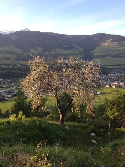
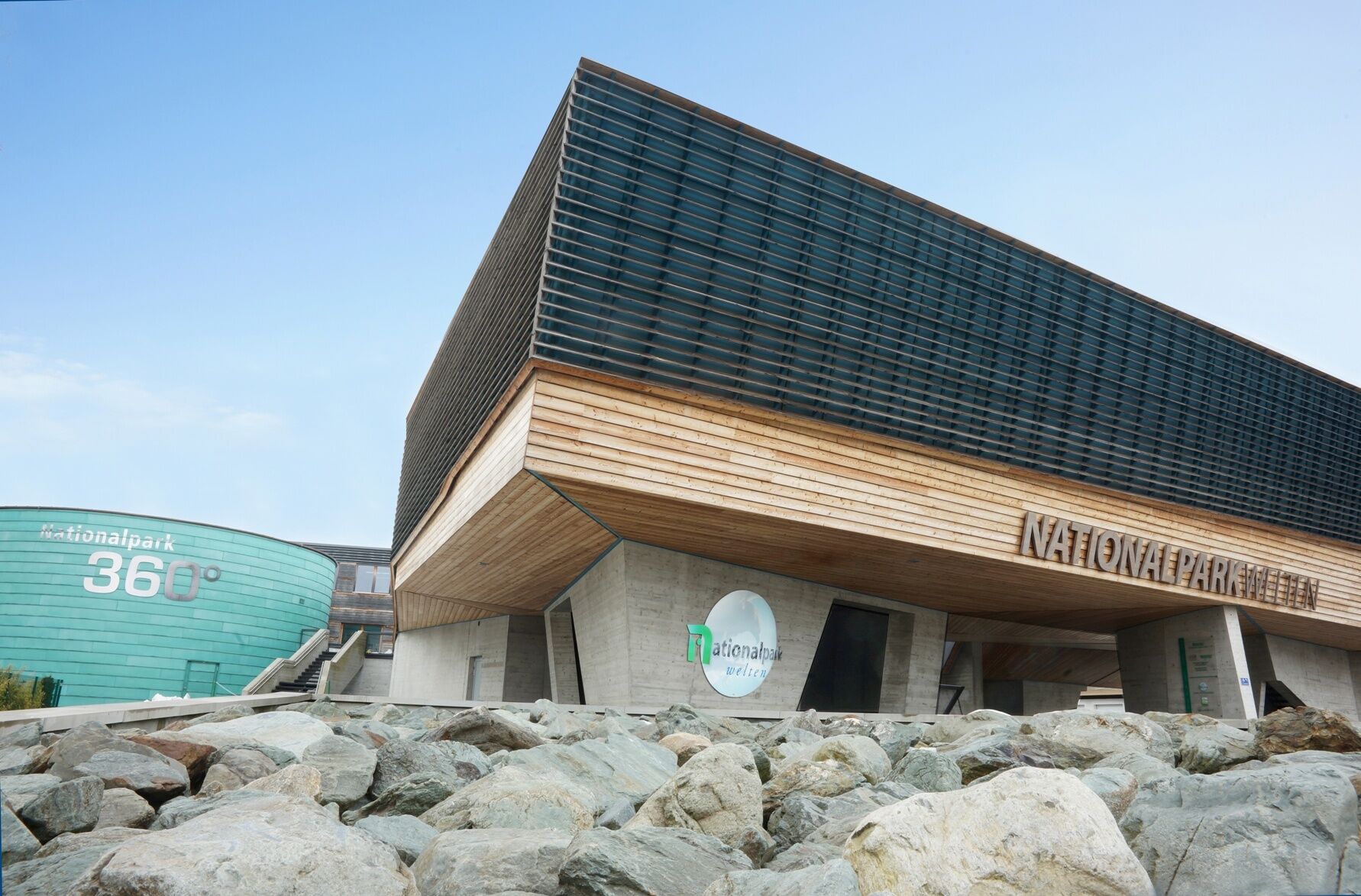
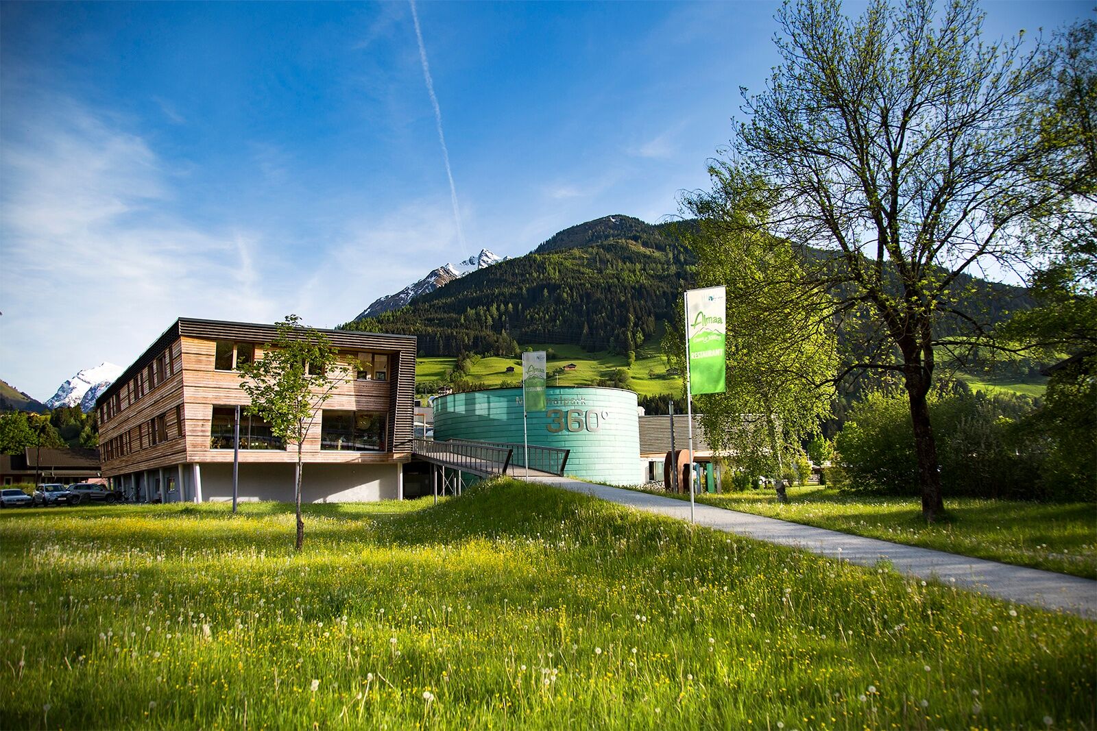


Starting from the NationalparkWelten, cross the Gerlos federal road at the pedestrian crossing and turn right onto the sidewalk, then walk 10 m to the next intersection and turn left there. Then walk straight ahead towards the edge of the forest. When you reach the forest edge, you will see the Kneipp facility with the Kneipp basin on the left side, inviting you to linger after the round. At the Kneipp facility, switch from the gravel road to the hiking trail and turn right onto trail no. 58. Now walk along the forest edge to Meilingerbauer. From there, turn left and walk up the road. After the first curve, the asphalt road branches off to the left into a hiking trail. Follow the hiking trail and you will return to the Kneipp facility.
The route is easily walkable with light hiking shoes. On hot summer days, we recommend taking enough drinking water with you.
No safety instructions required.
By car coming from Zell am See, drive through the Mittersill town center towards Krimml. At the end of the town are the NationalparkWelten Mittersill directly next to the federal road.
The Mittersill-Hollersbach-Stuhlfelden region is very well accessible by the Pinzgau local railway and ÖBB buses.
At the starting point of the route, the NationalparkWelten Mittersill, there is a large parking lot where you are welcome to park your car.
T1
Mittersill Plus GmbH, Zeller Straße 2, 5730 Mittersill, Tel. +43(0) 6562 4292
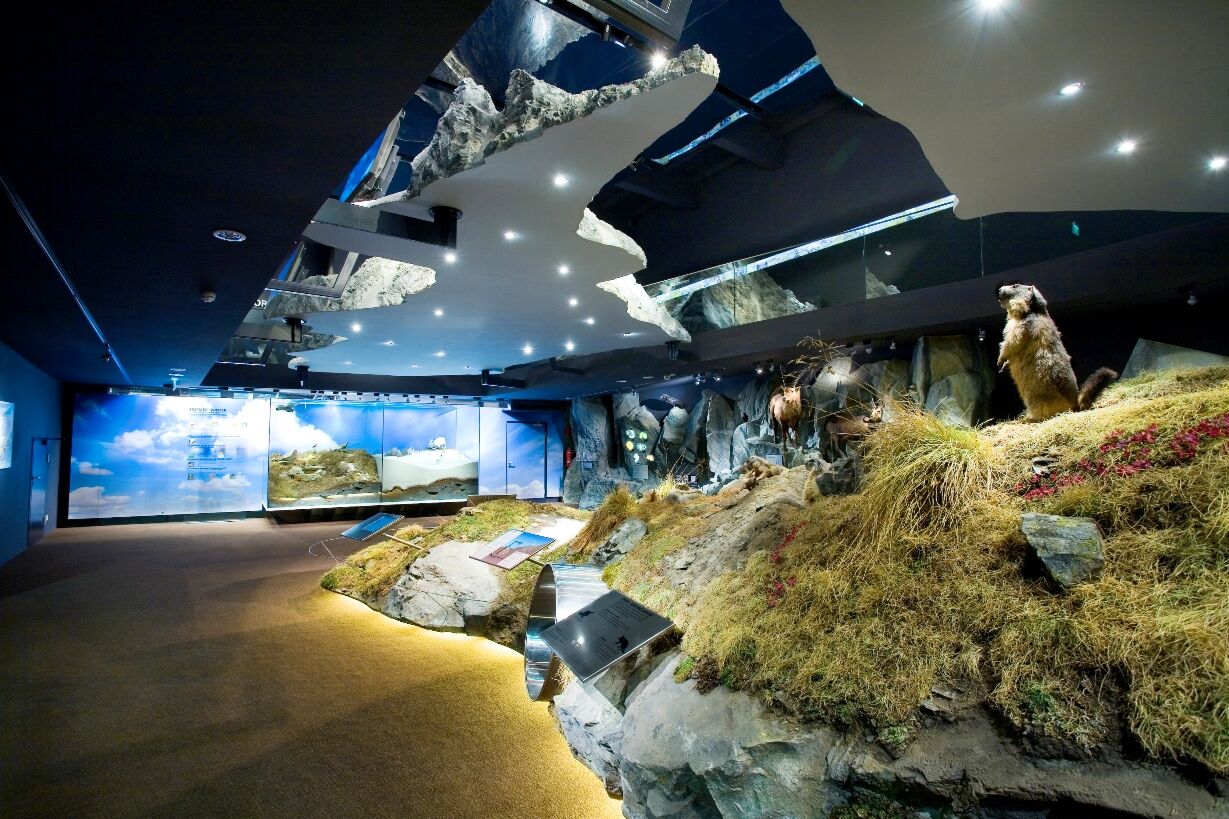
At the starting point are the NationalparkWelten in Mittersill. Immerse yourself in the world of the Hohe Tauern National Park - the highest peaks of Austria, exciting animal inhabitants, and the most beautiful plants far and wide - all within reach! Nine stations are waiting to be explored.
 Uzyskaj wgląd
Zawsze na żywo z ponad 9 500 kamer internetowych. bergfex Jako użytkownik Pro, możesz teraz zobaczyć odpowiednie kamery internetowe dla wielu wycieczek w aplikacji wycieczki od. Pozwala to na bezpośredni podgląd aktualnych warunków.
Uzyskaj wgląd
Zawsze na żywo z ponad 9 500 kamer internetowych. bergfex Jako użytkownik Pro, możesz teraz zobaczyć odpowiednie kamery internetowe dla wielu wycieczek w aplikacji wycieczki od. Pozwala to na bezpośredni podgląd aktualnych warunków.

Popularne wycieczki w okolicy
-
3,7
Smaragdwanderweg Habachtal/Bramberg
światłoWędrówka 7,17 km -
3,9
Mittersill - Hintersee und Plattachsee
ciężkiWędrówka 9,90 km -
4,7
Hollersbach - Neue Fürther Hütte
Wędrówka 16,0 km -
4,6
Panorama route 3 peaks and 2 lakes
średniWędrówka 7,21 km -
4,2
Habachtal bis zur Thüringer Hütte
Wędrówka 6,53 km -
4,7
Tristkogel
ciężkiWędrówka 15,6 km -
3,9
Hollersbach: Pihapper path no. 935
ciężkiWędrówka 12,8 km -
4,9
Manlitzkogel
ciężkiWędrówka 13,4 km -
4,1
Via the Schösswendklamm to Hintersee
średniWędrówka 8,29 km -
3,6
Mittersill: Raised bog Wasenmoos path no. 77
światłoTrasa tematyczna 7,06 km
Wędrówki i tropienie


Nie przegap ofert i inspiracji na następne wakacje
Twój adres e-mail została dodana do listy mailingowej.





