



Großarl: Kreuzkogel - Fulseck - Arltörl - Berglandhaus - Großarl



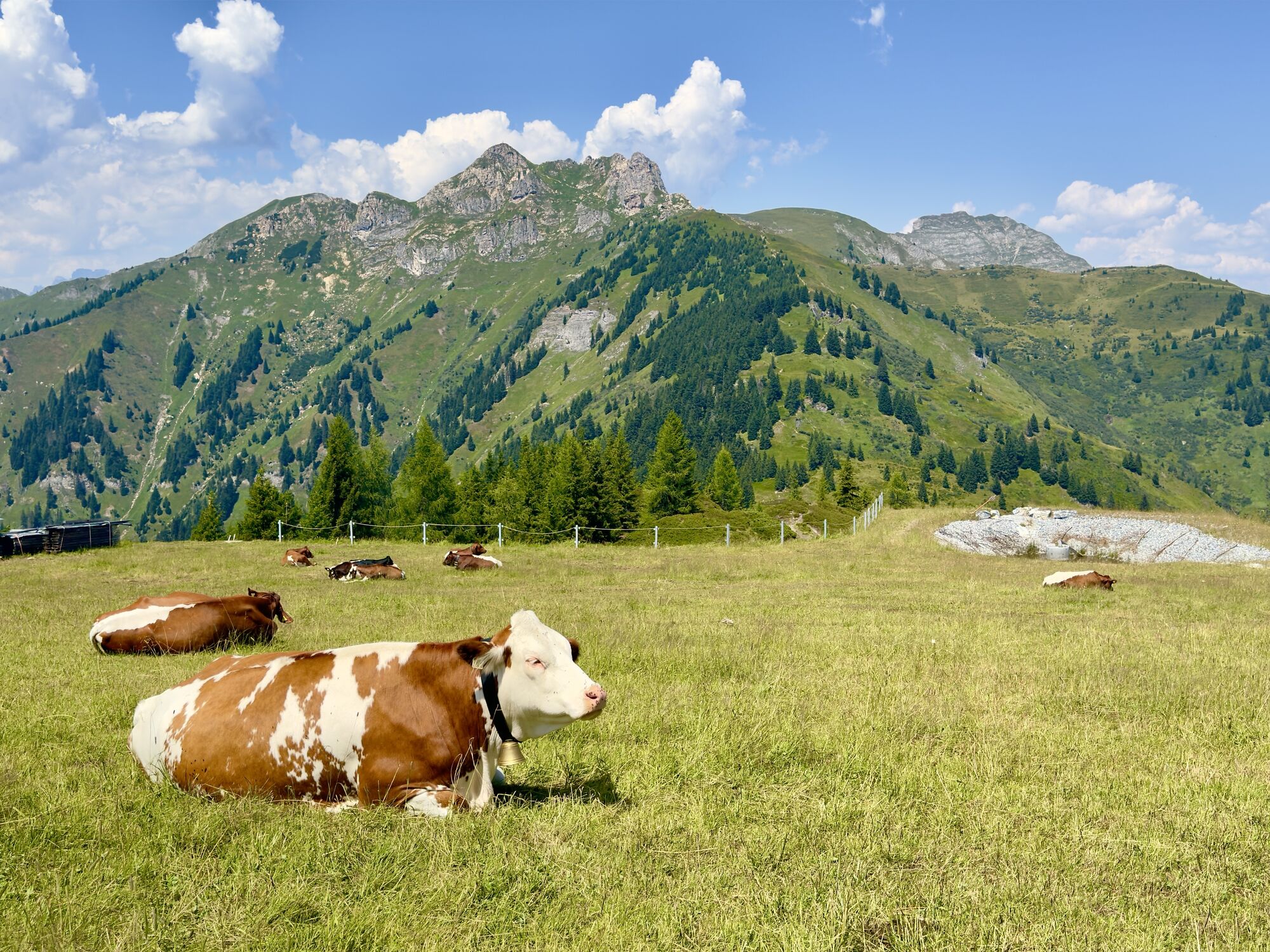
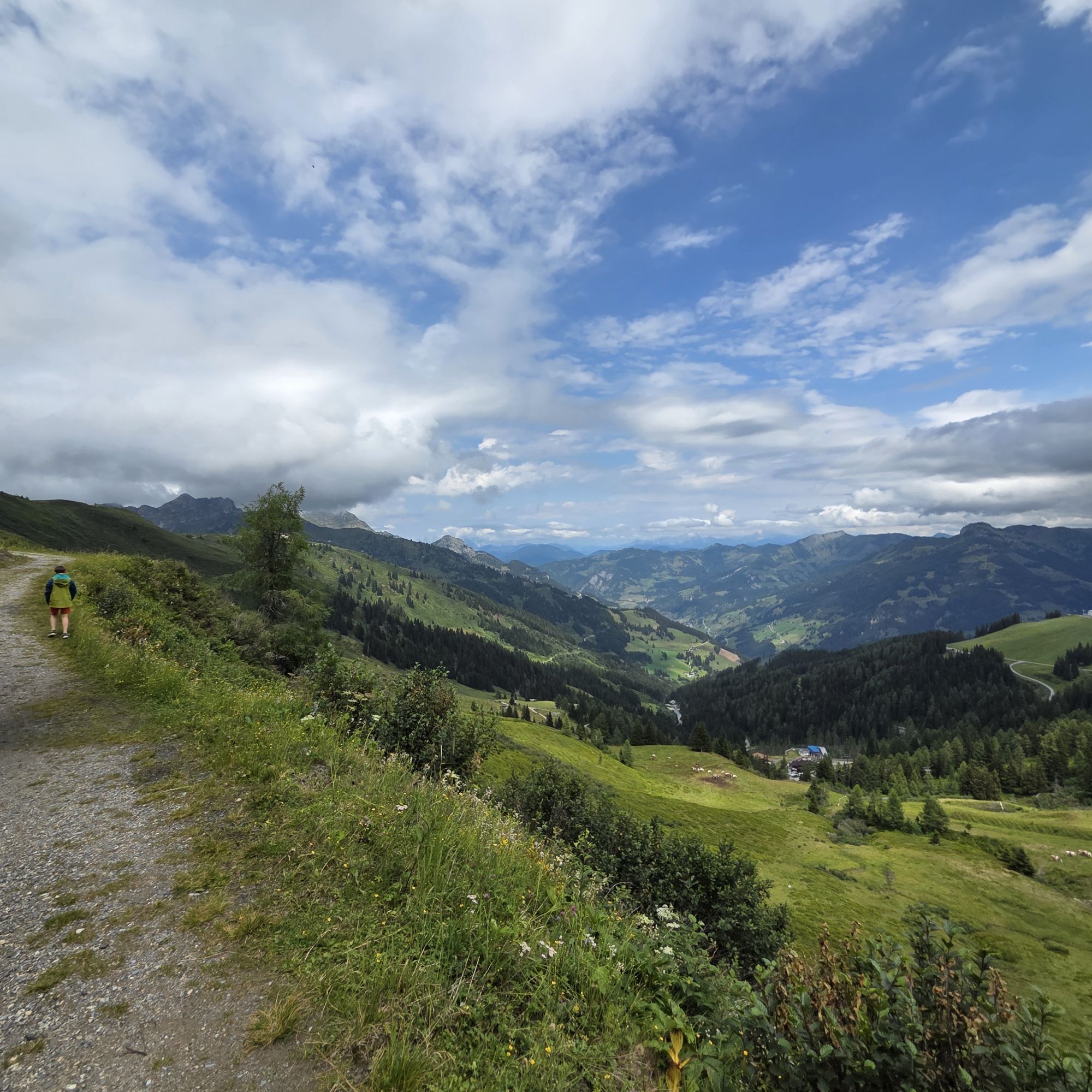

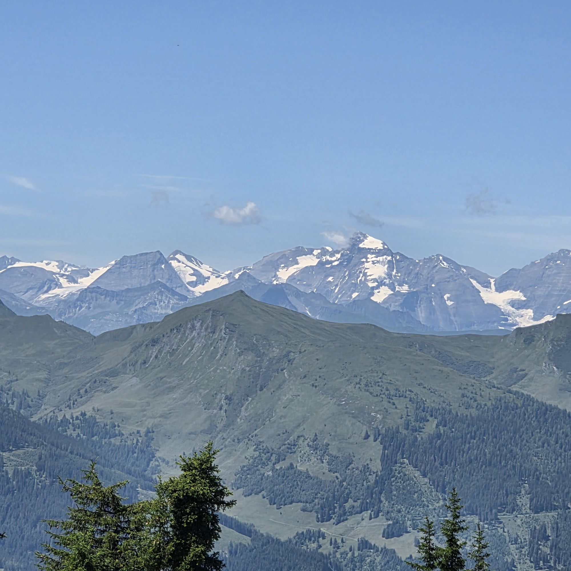
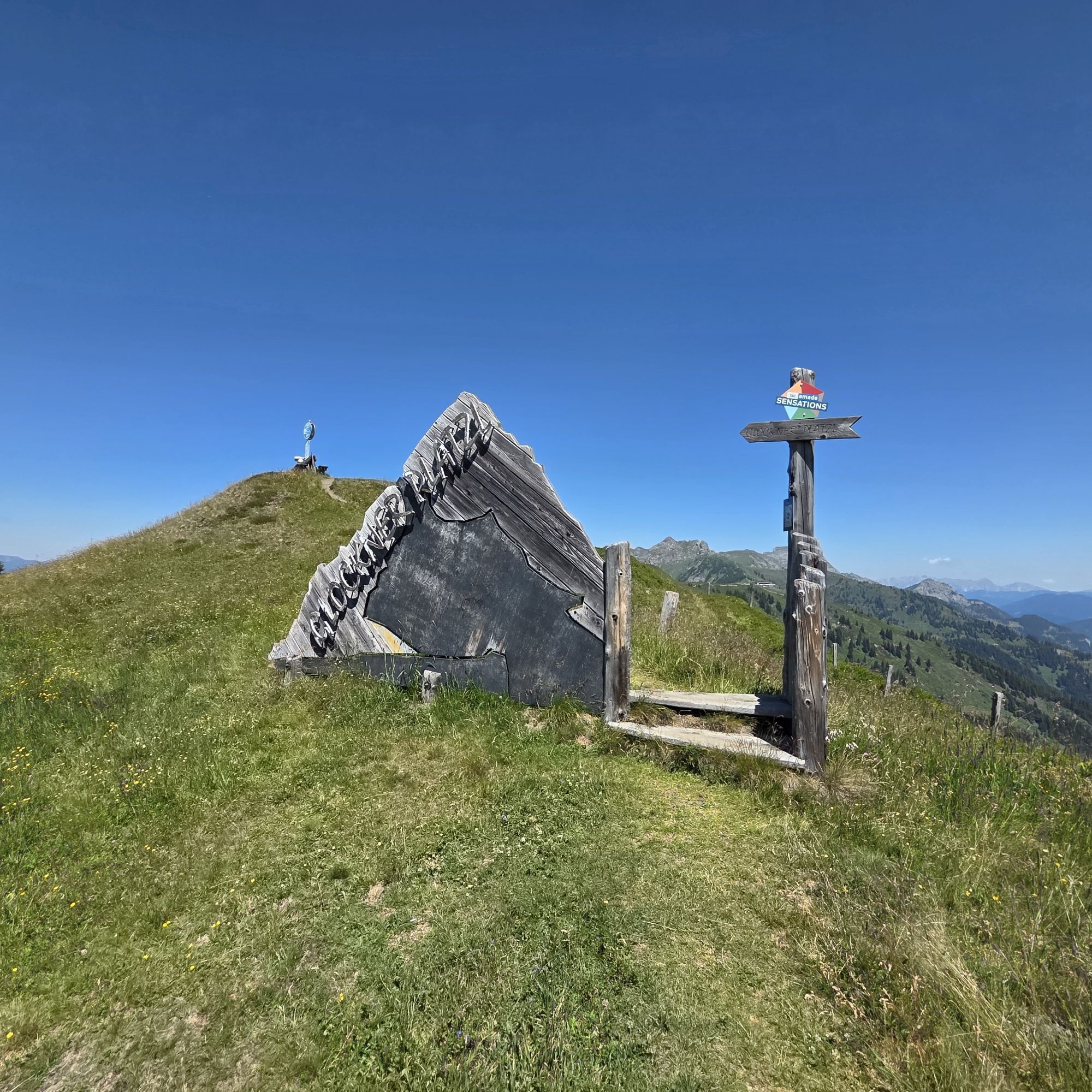


Ride with the Panoramabahn Großarltal to the panorama plateau. Here you immediately have the opportunity to indulge yourself with delicacies at the Laireiteralm . Uphill it goes very leisurely along a...
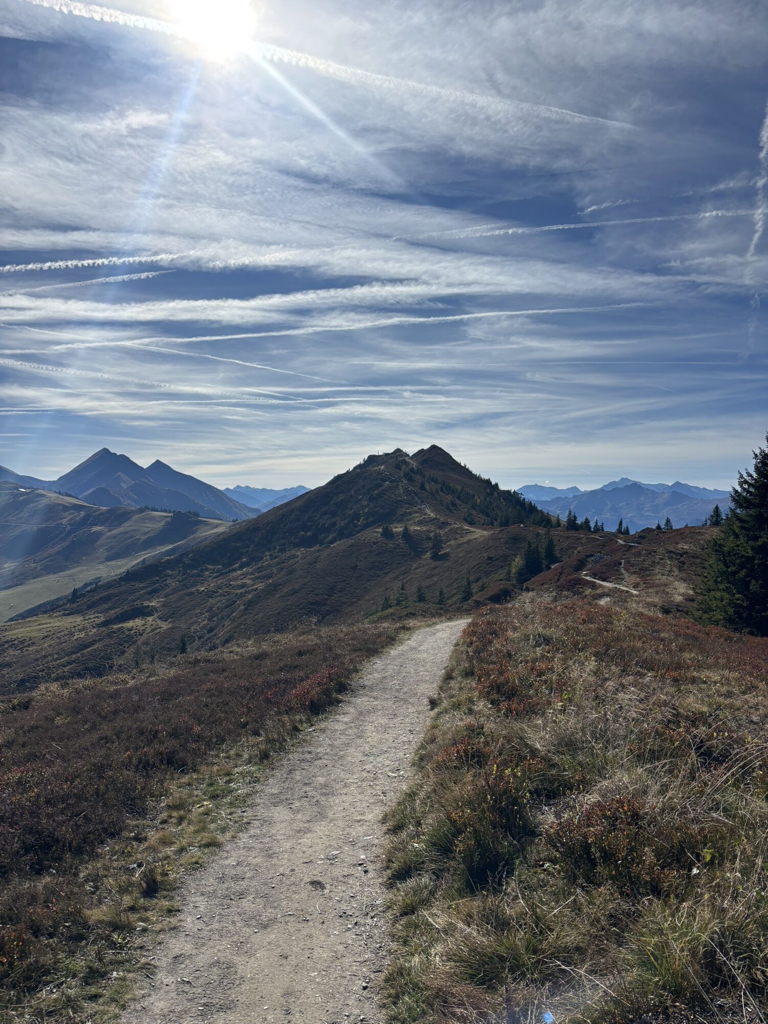
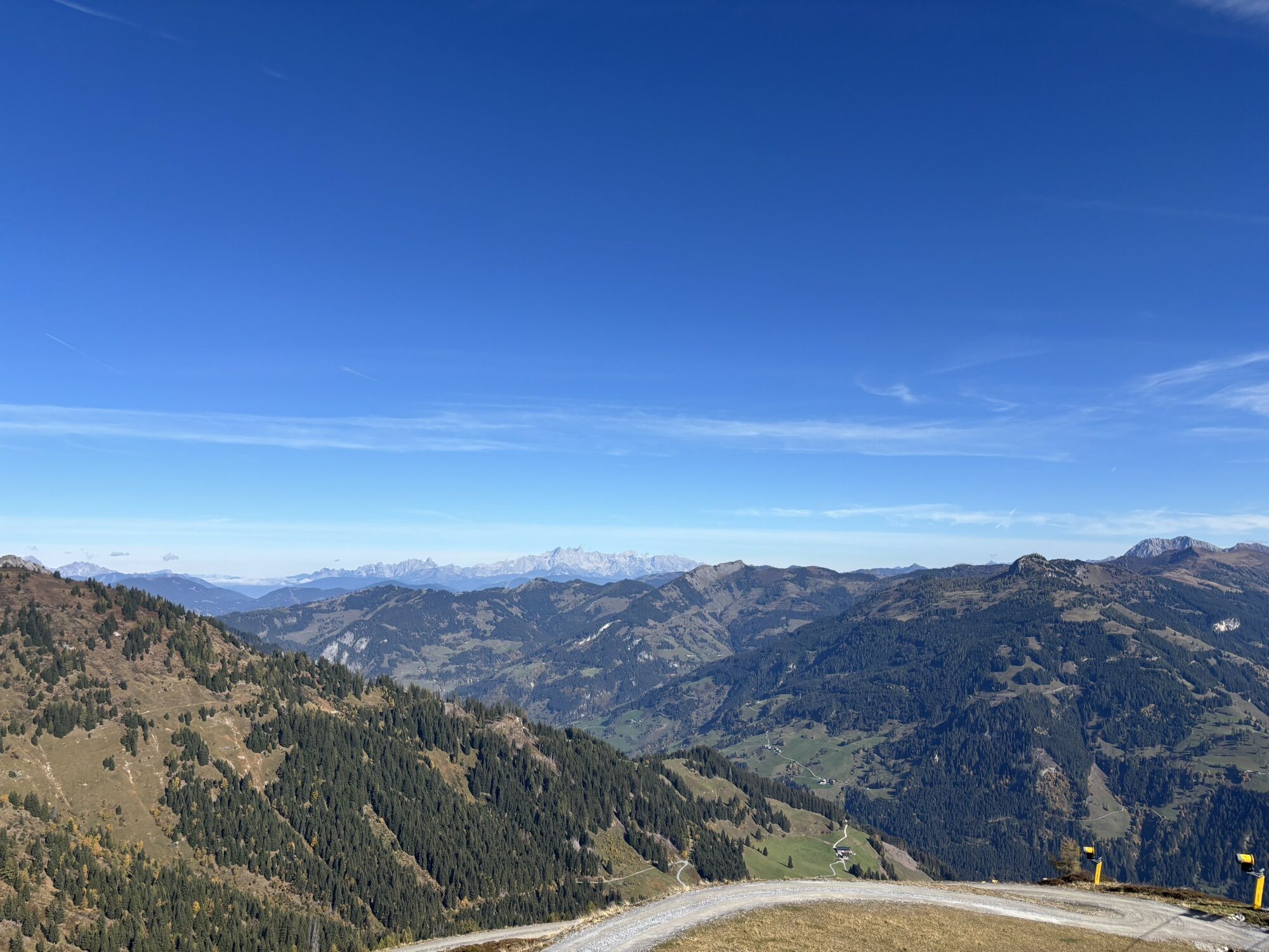
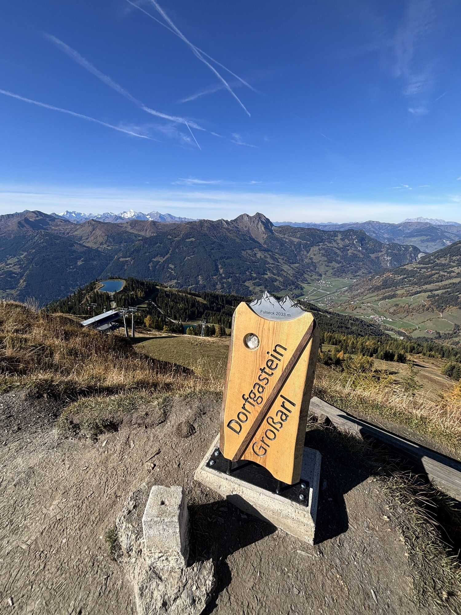
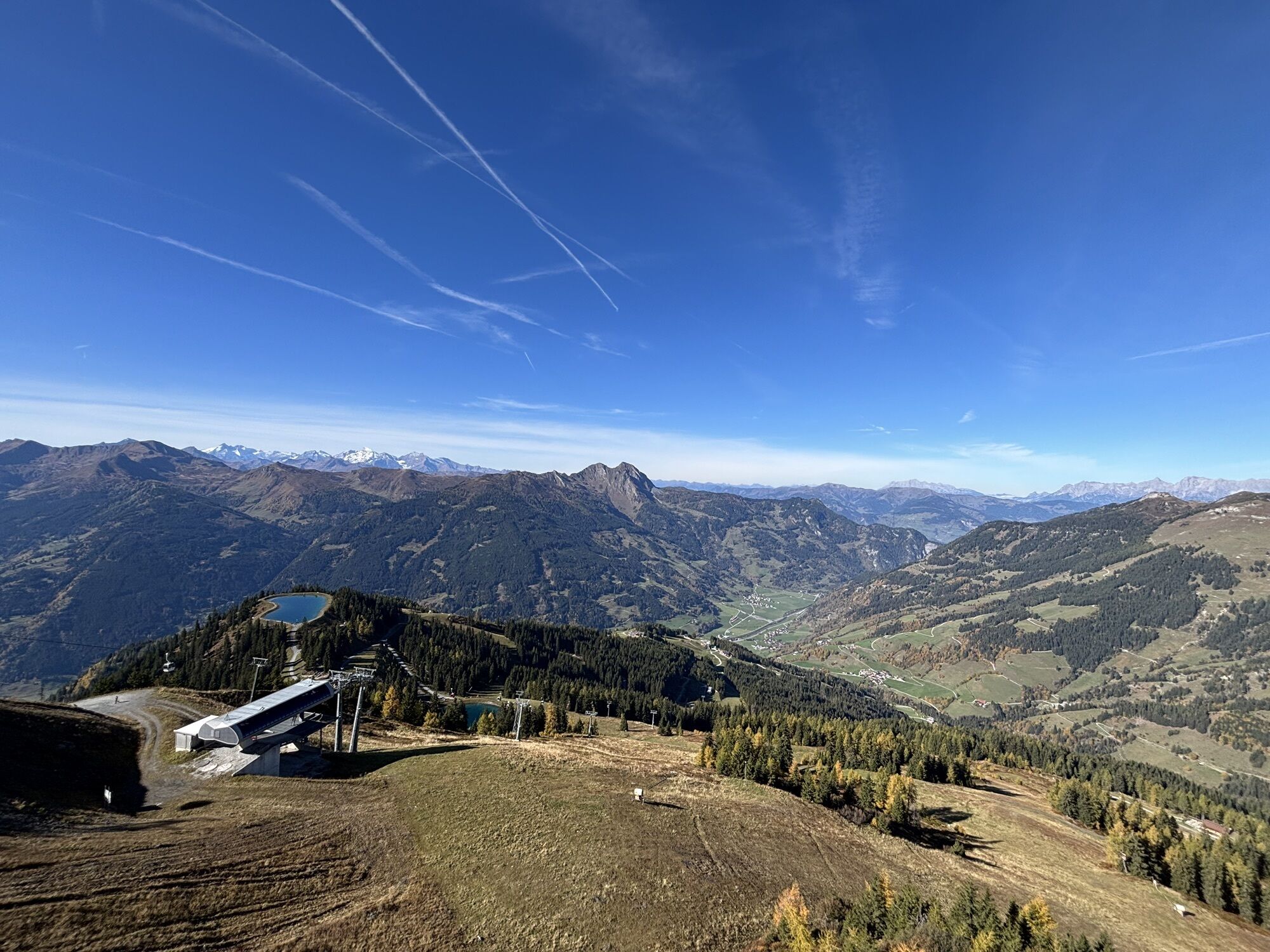
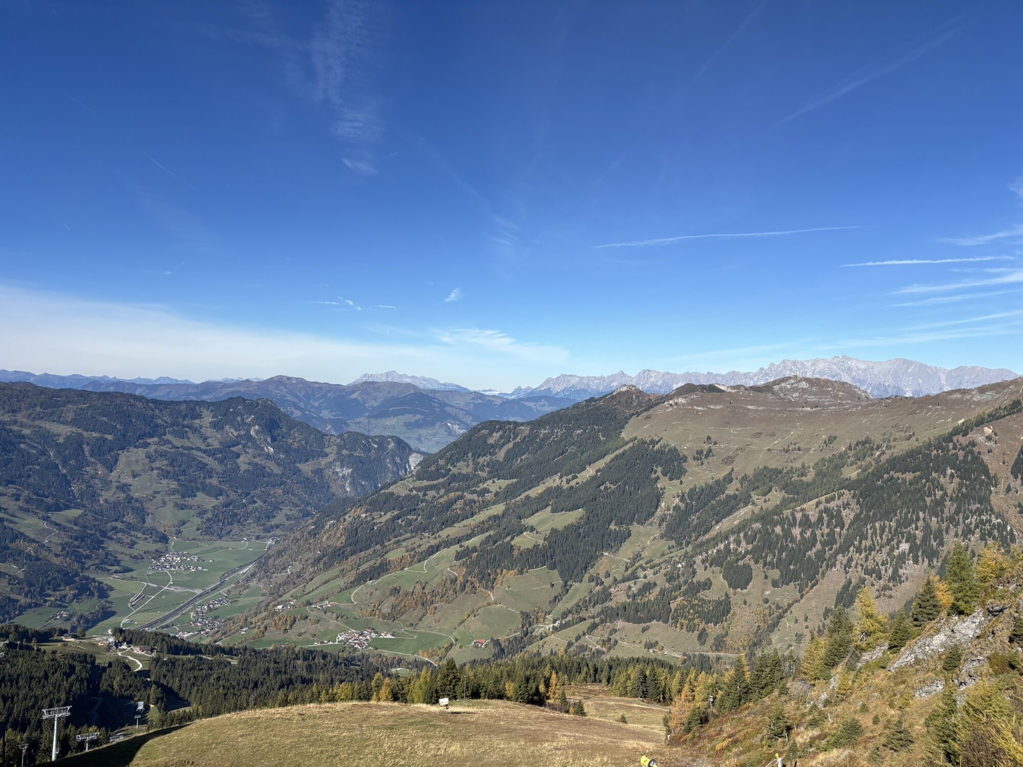
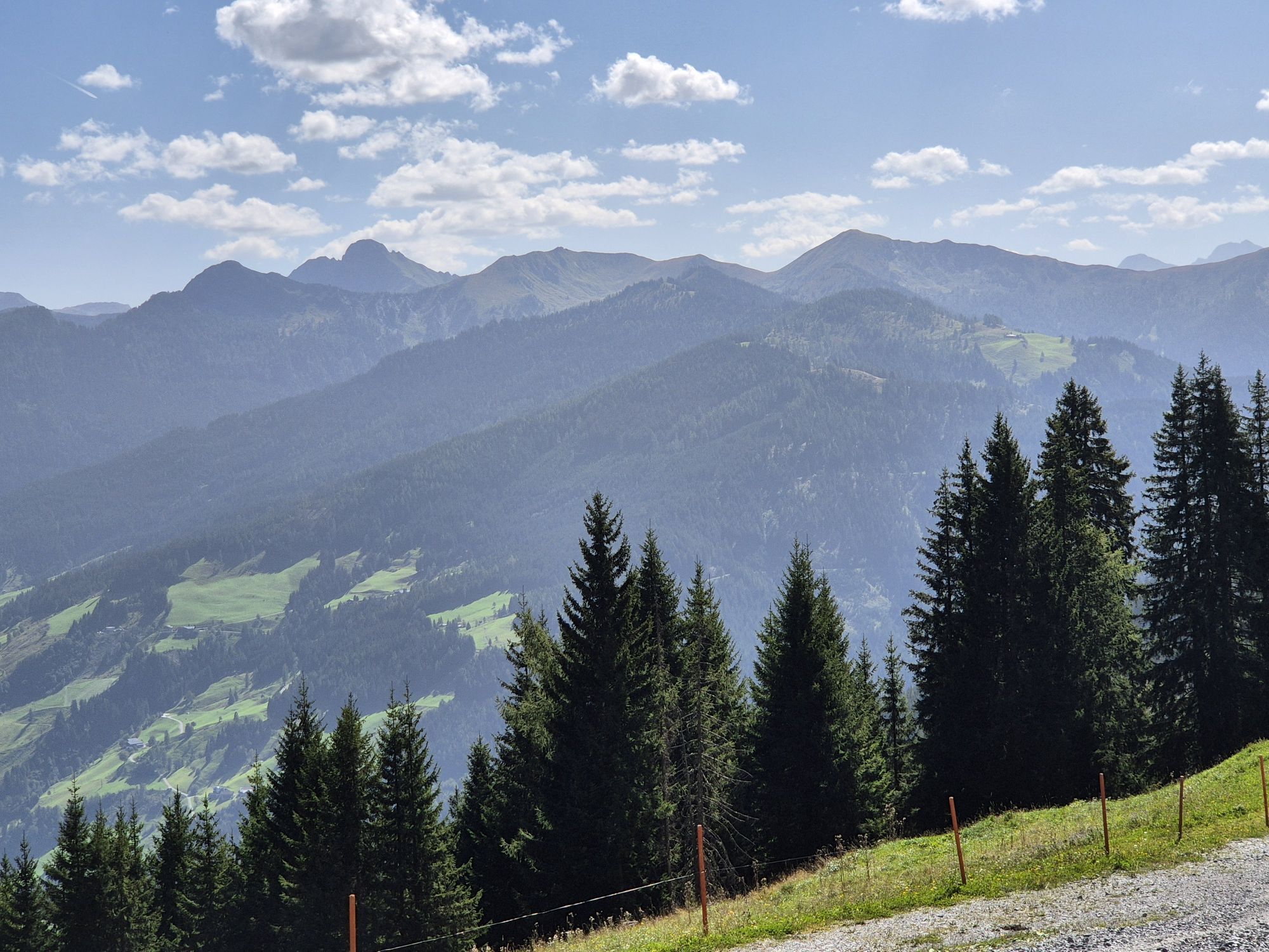
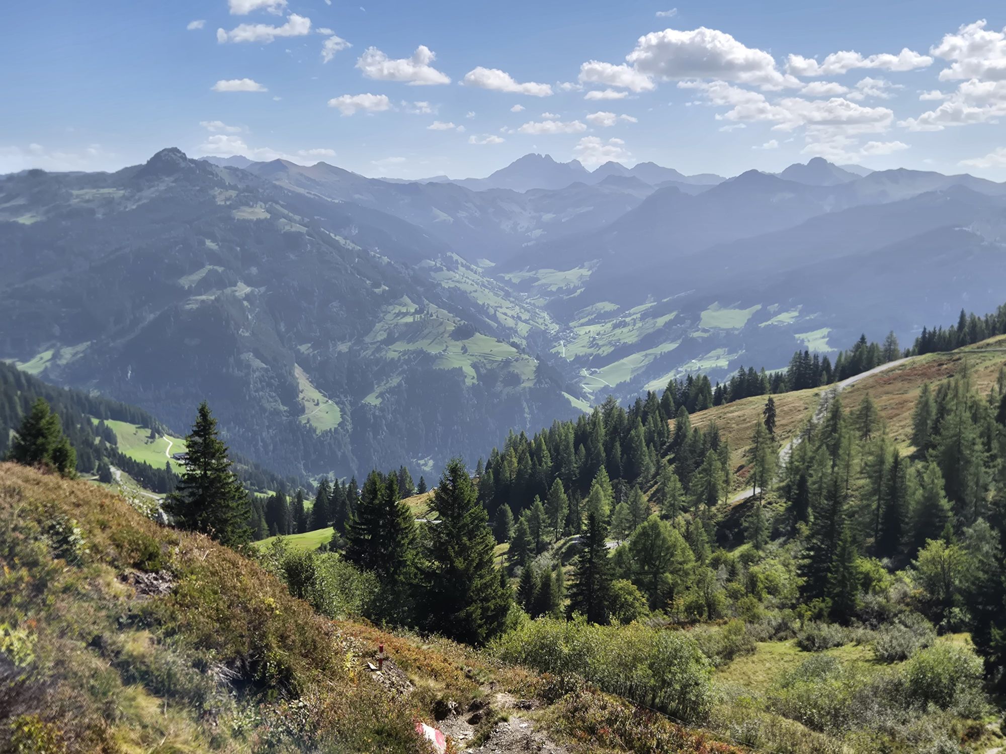
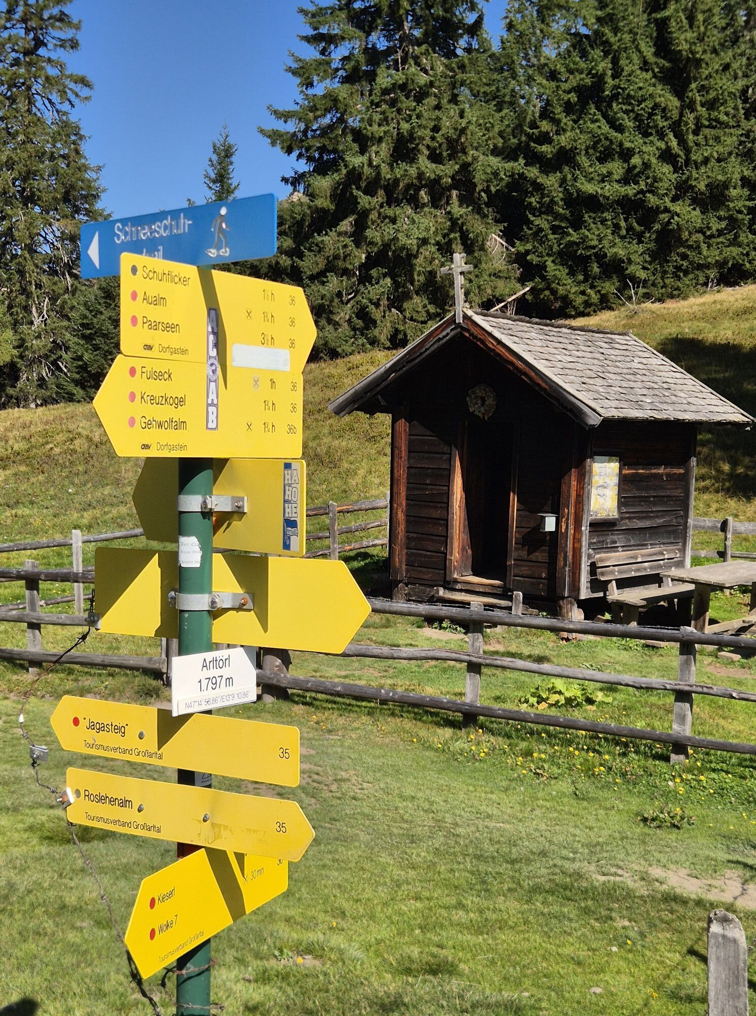
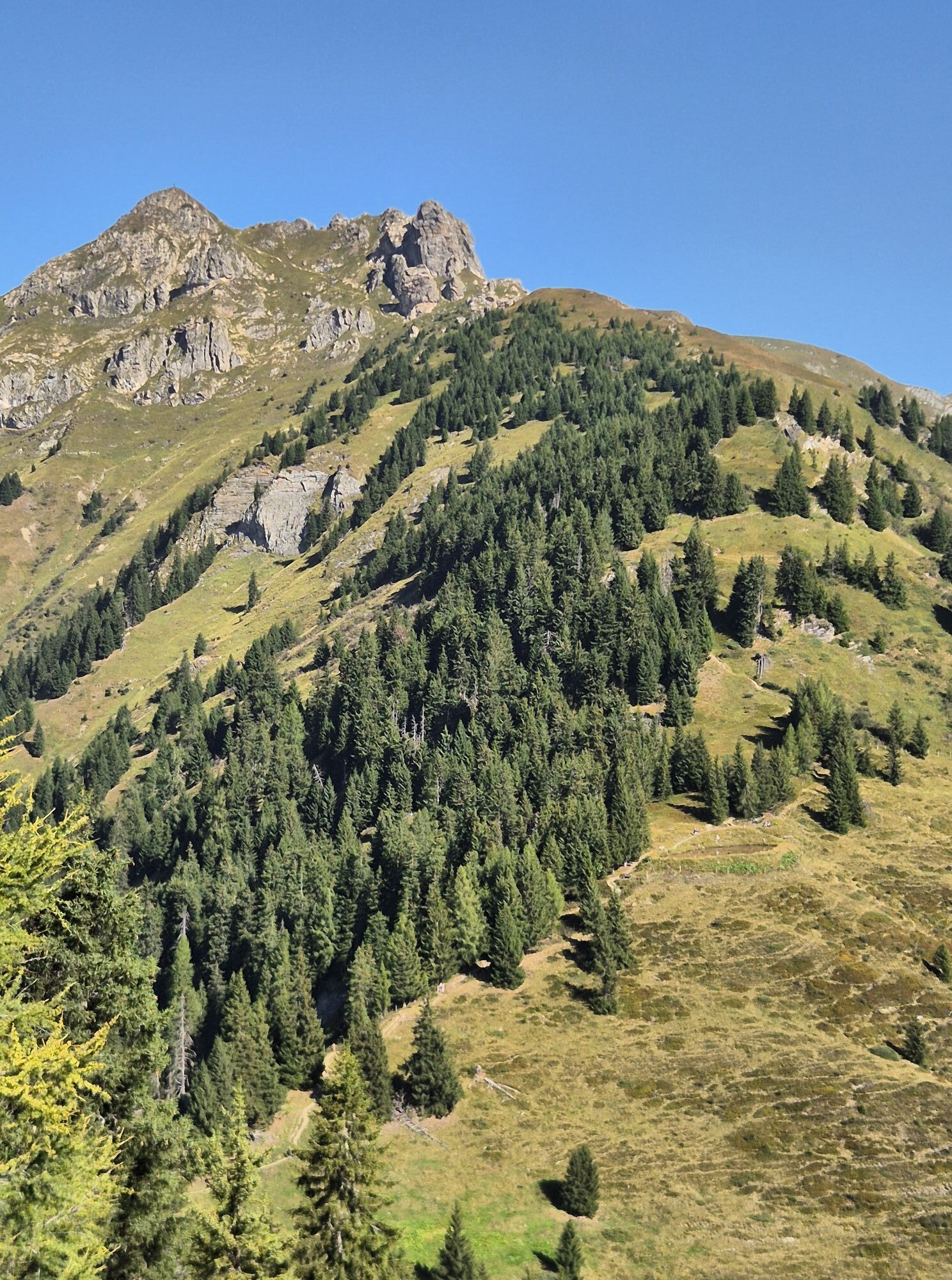
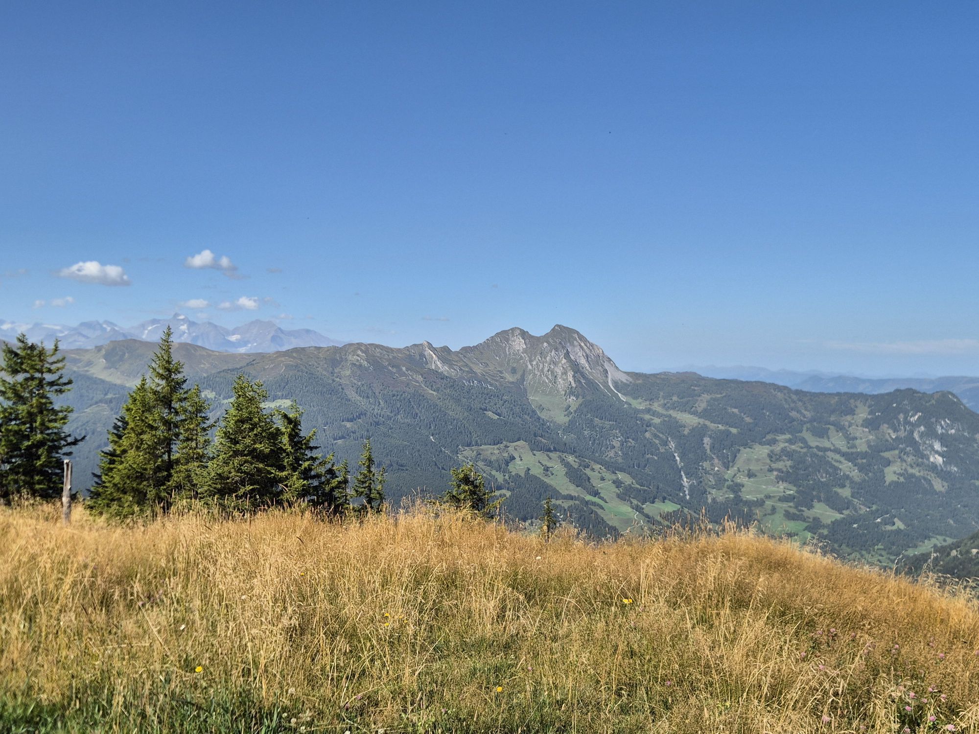
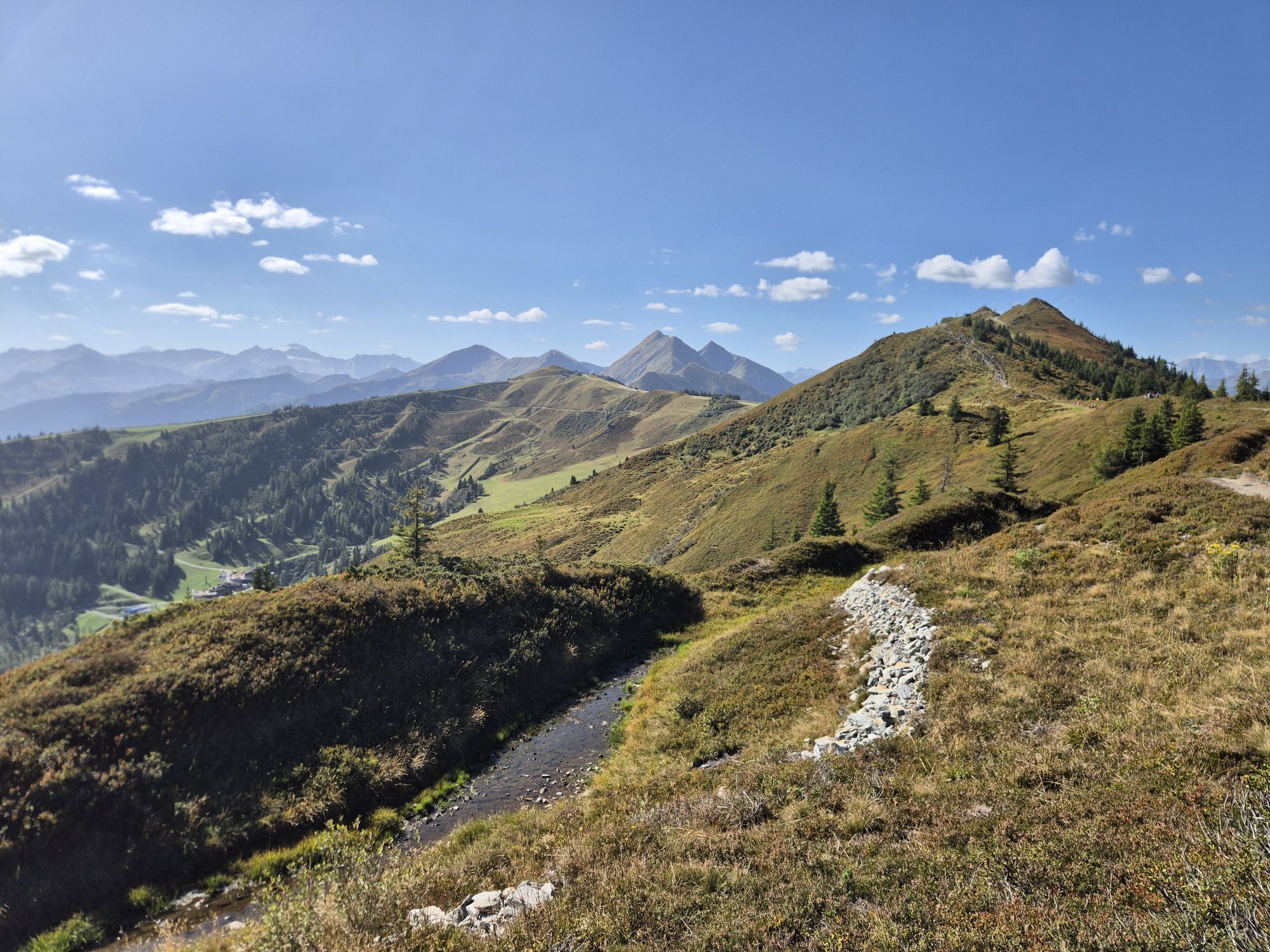
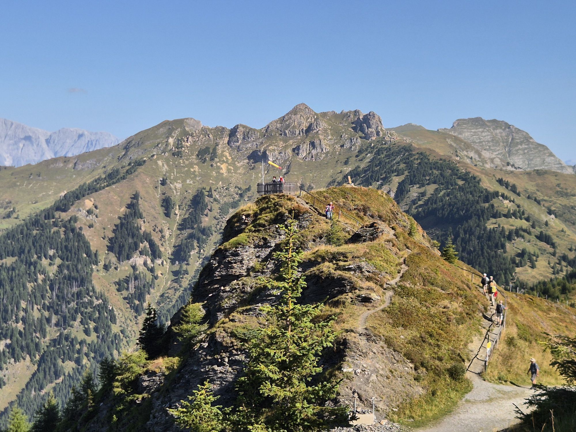
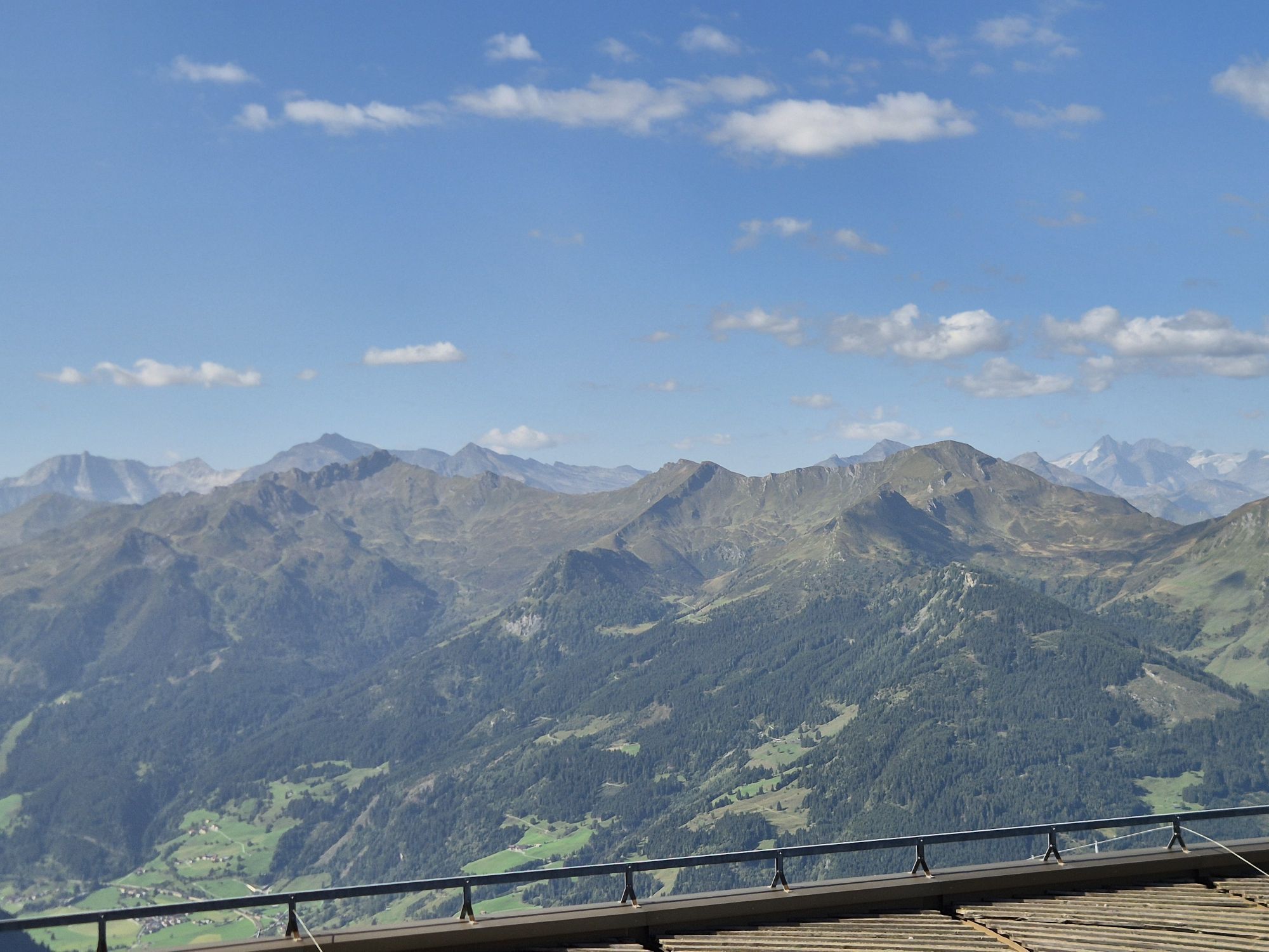
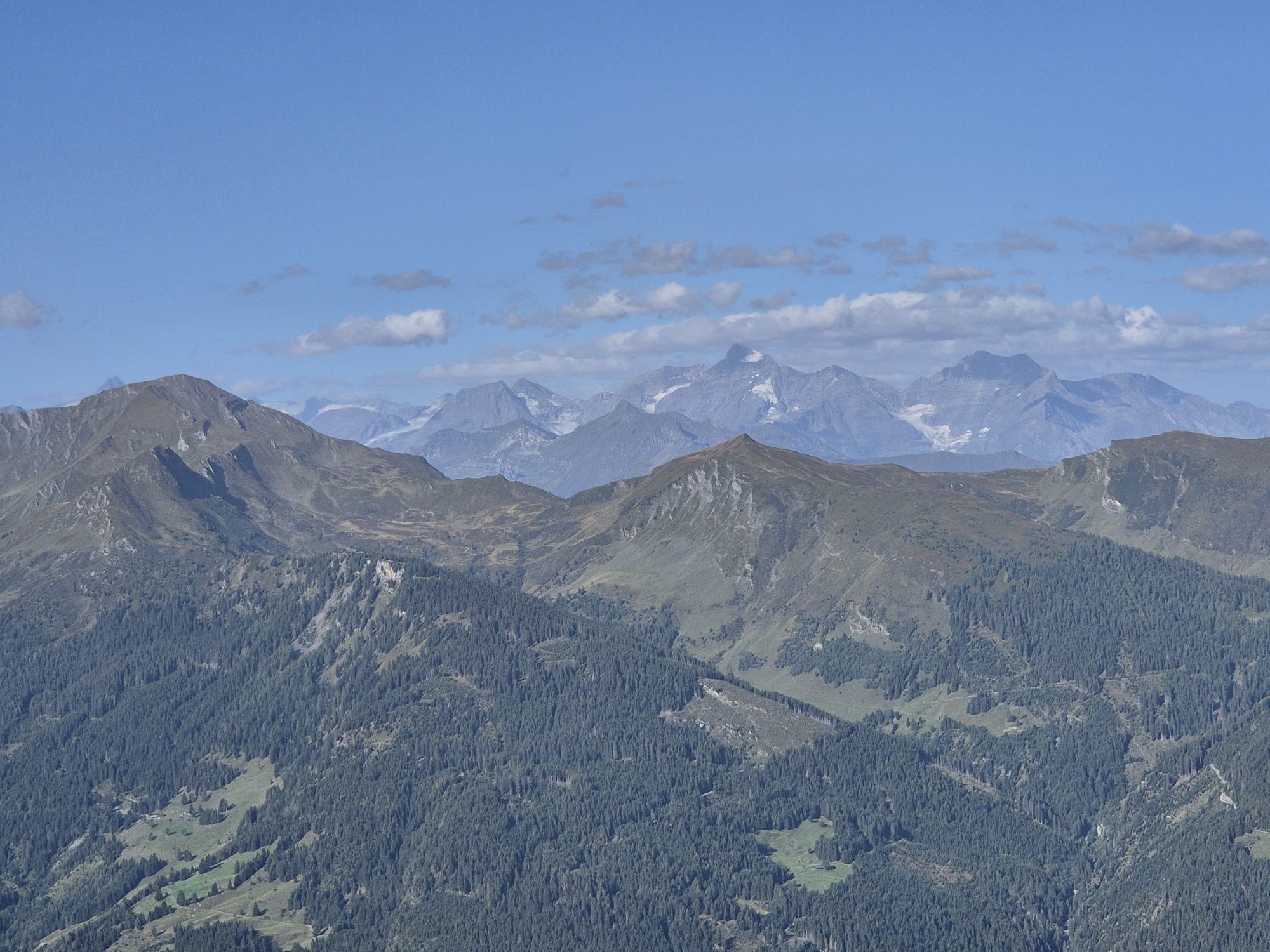
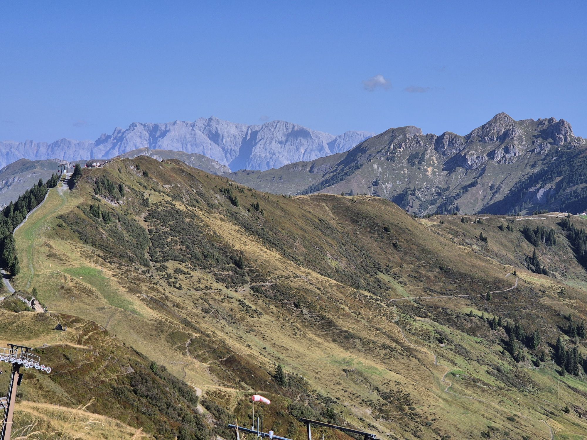
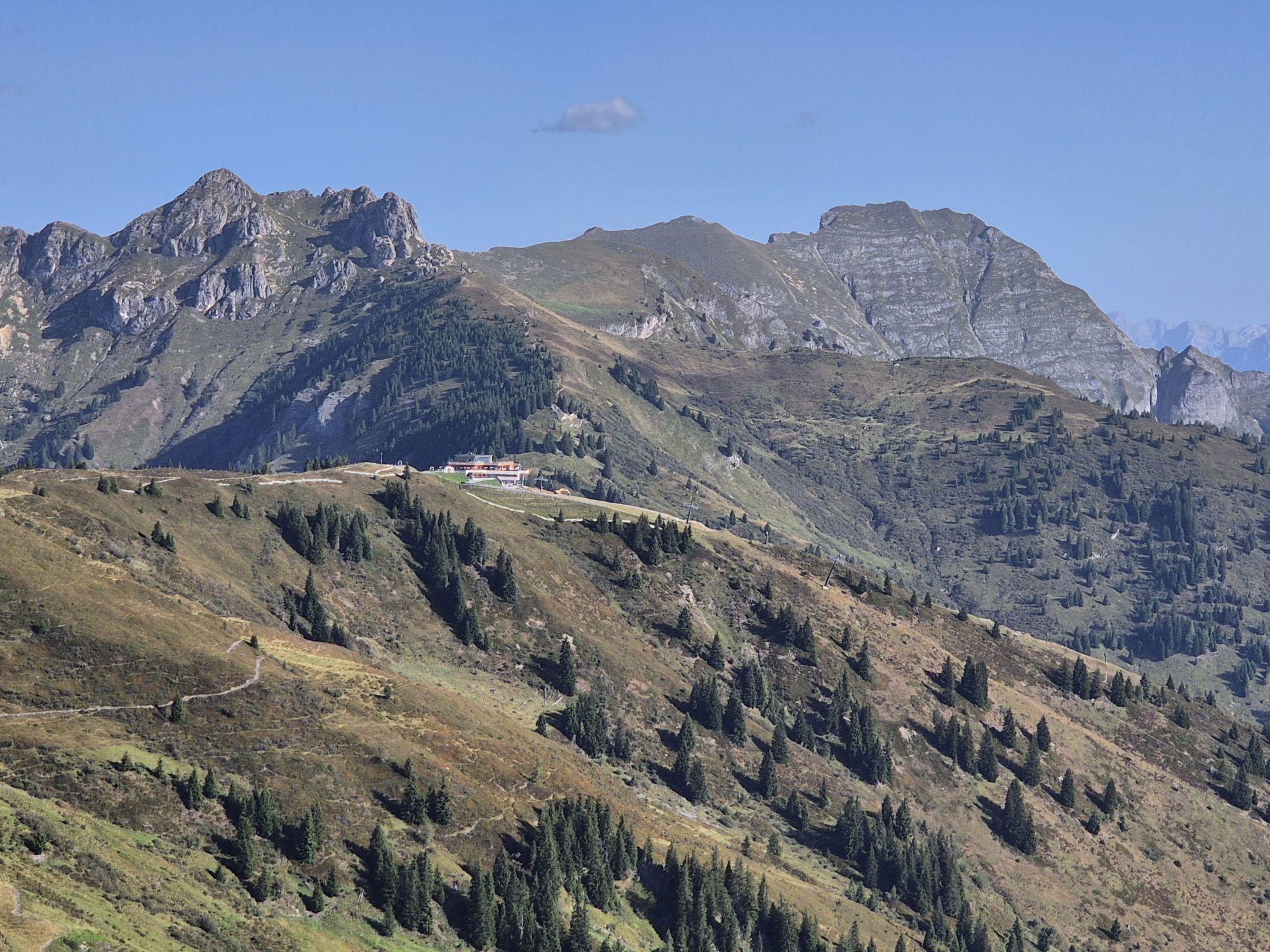
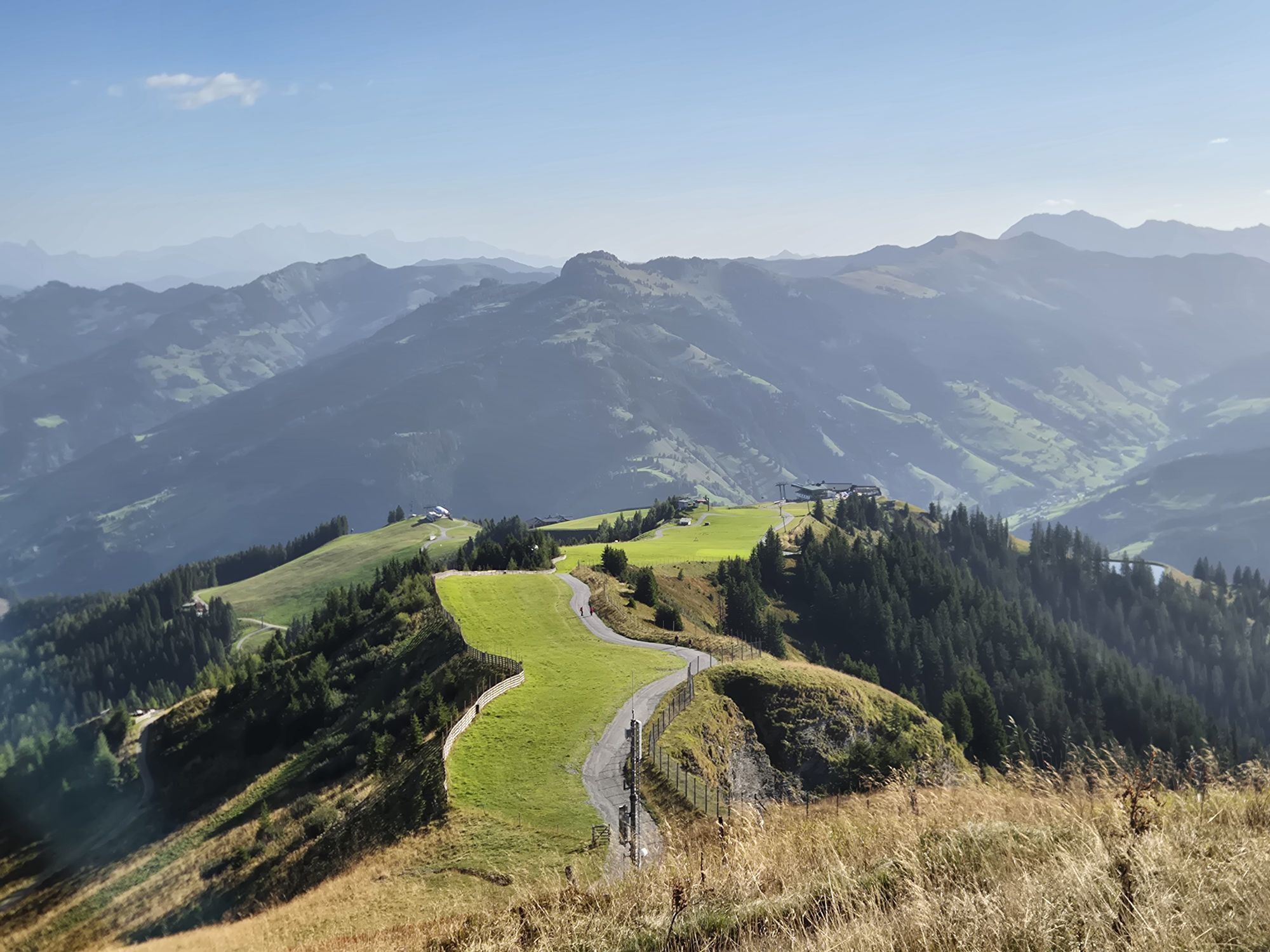
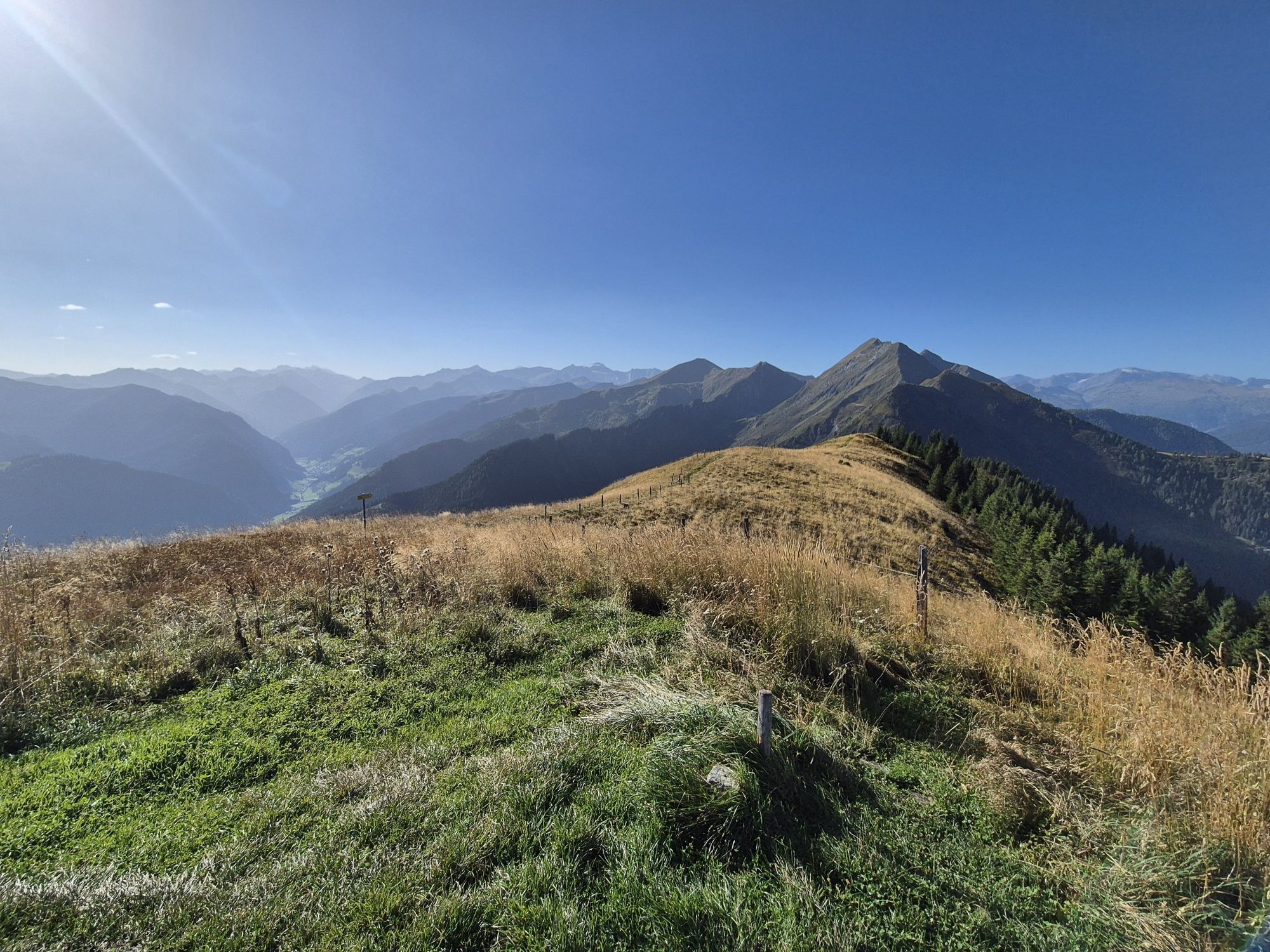
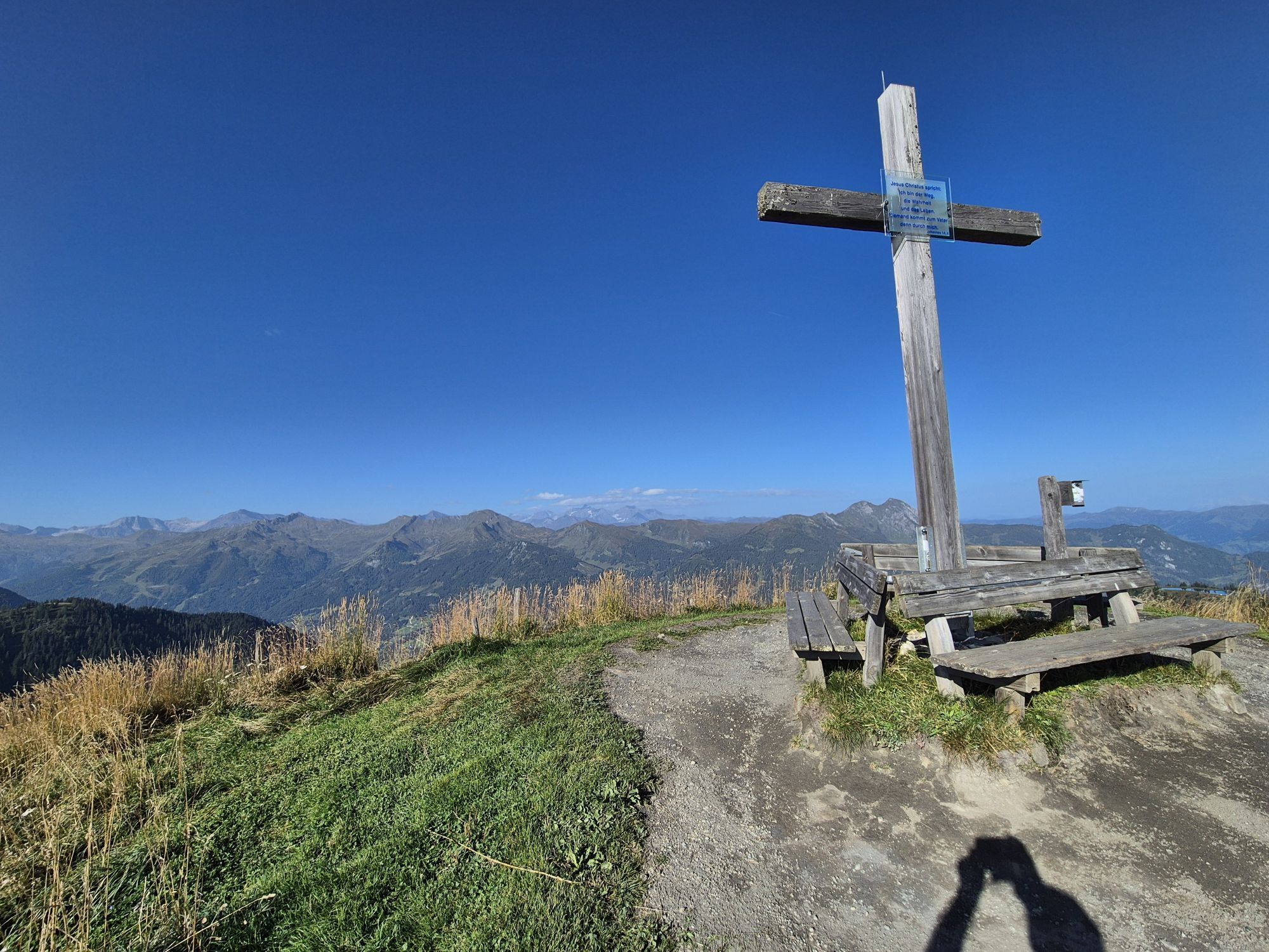
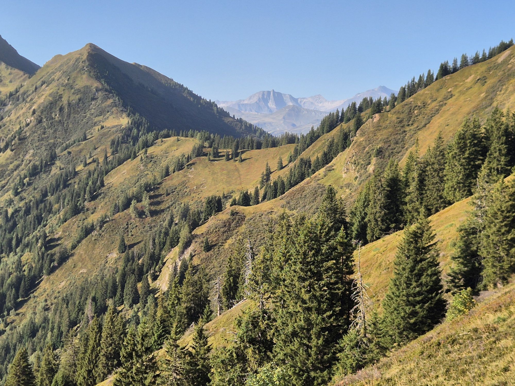
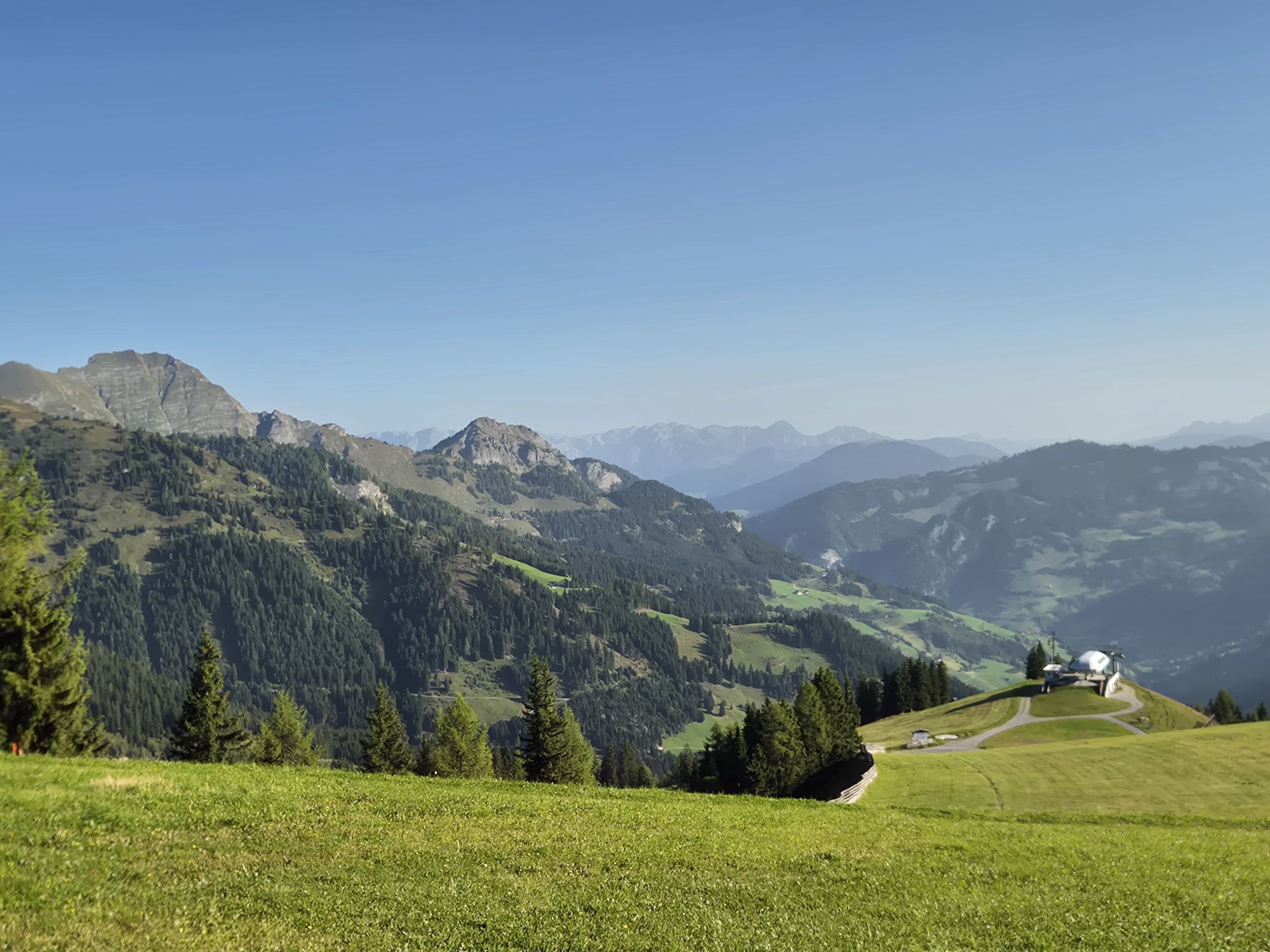
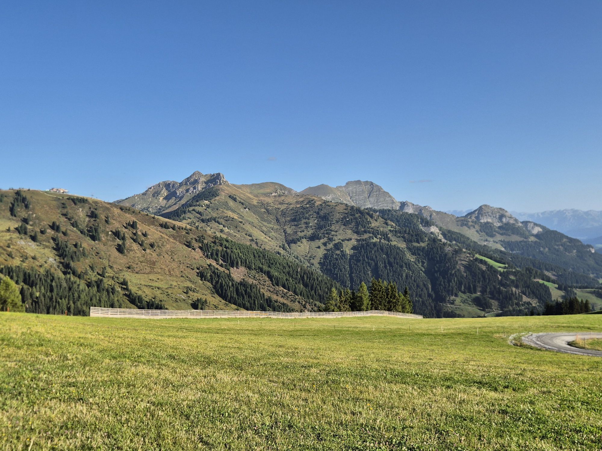
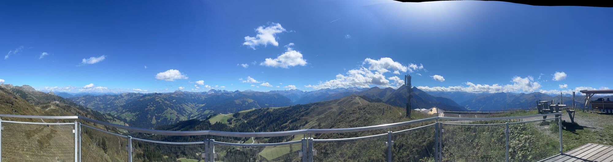
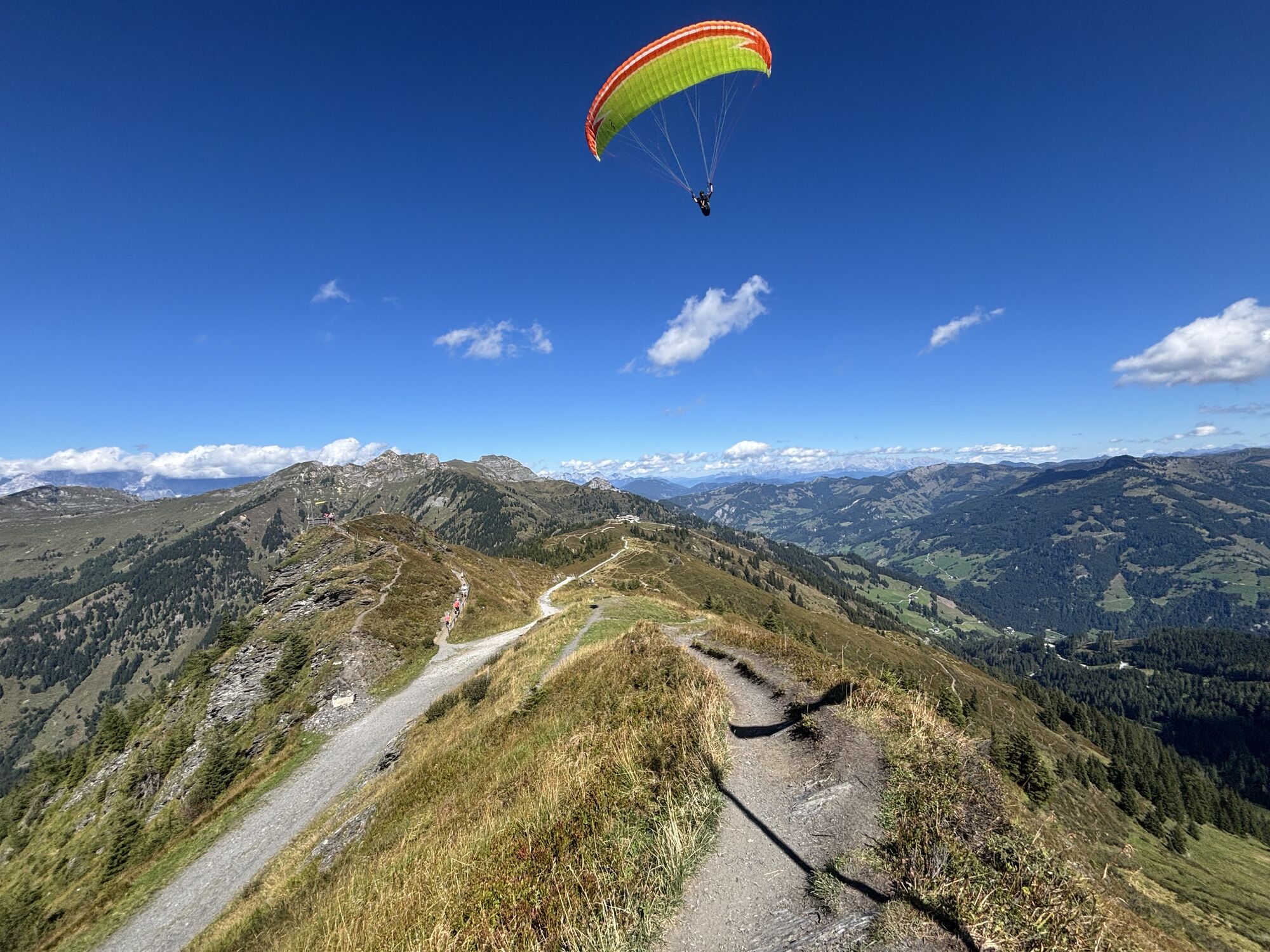
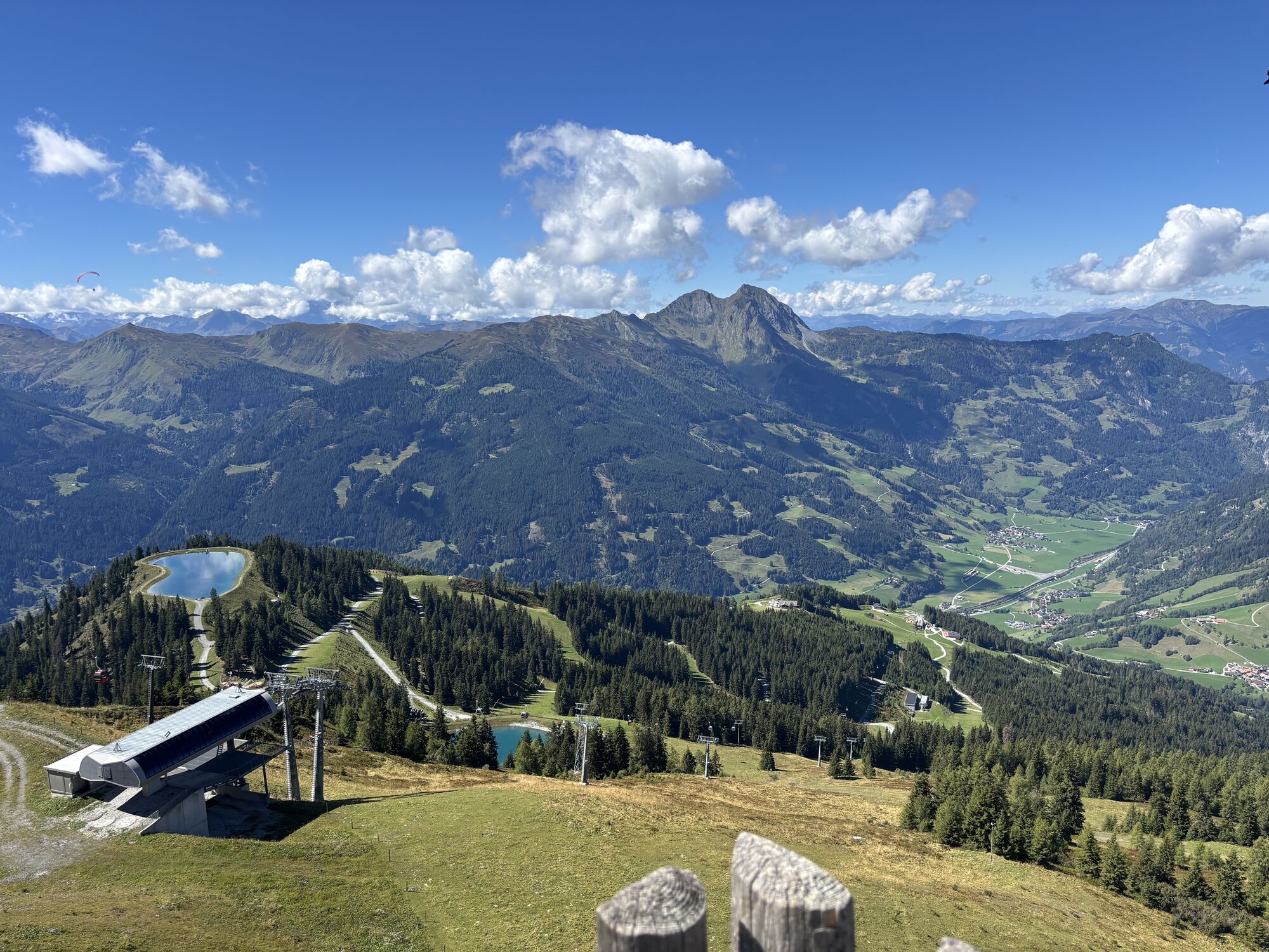
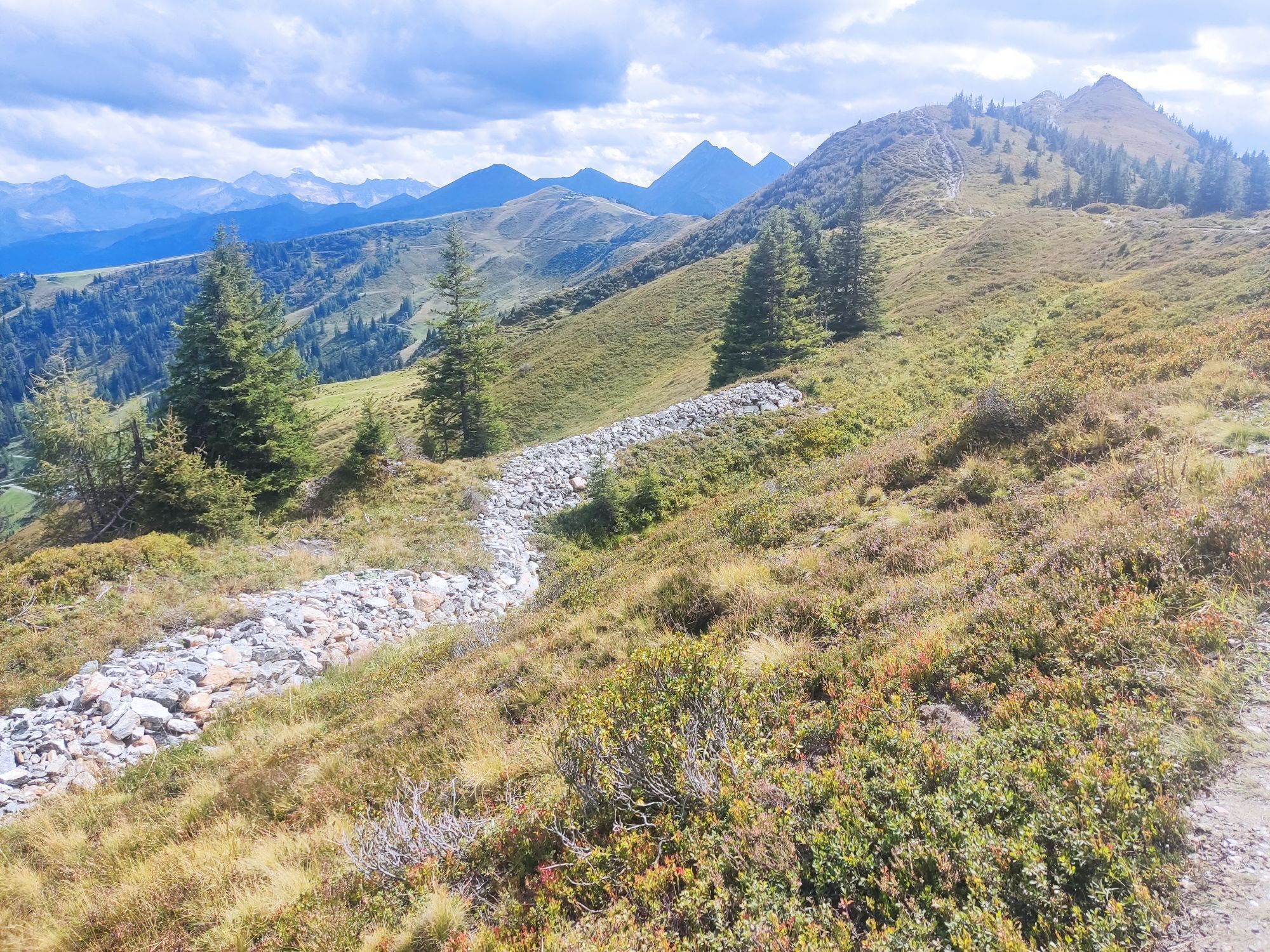
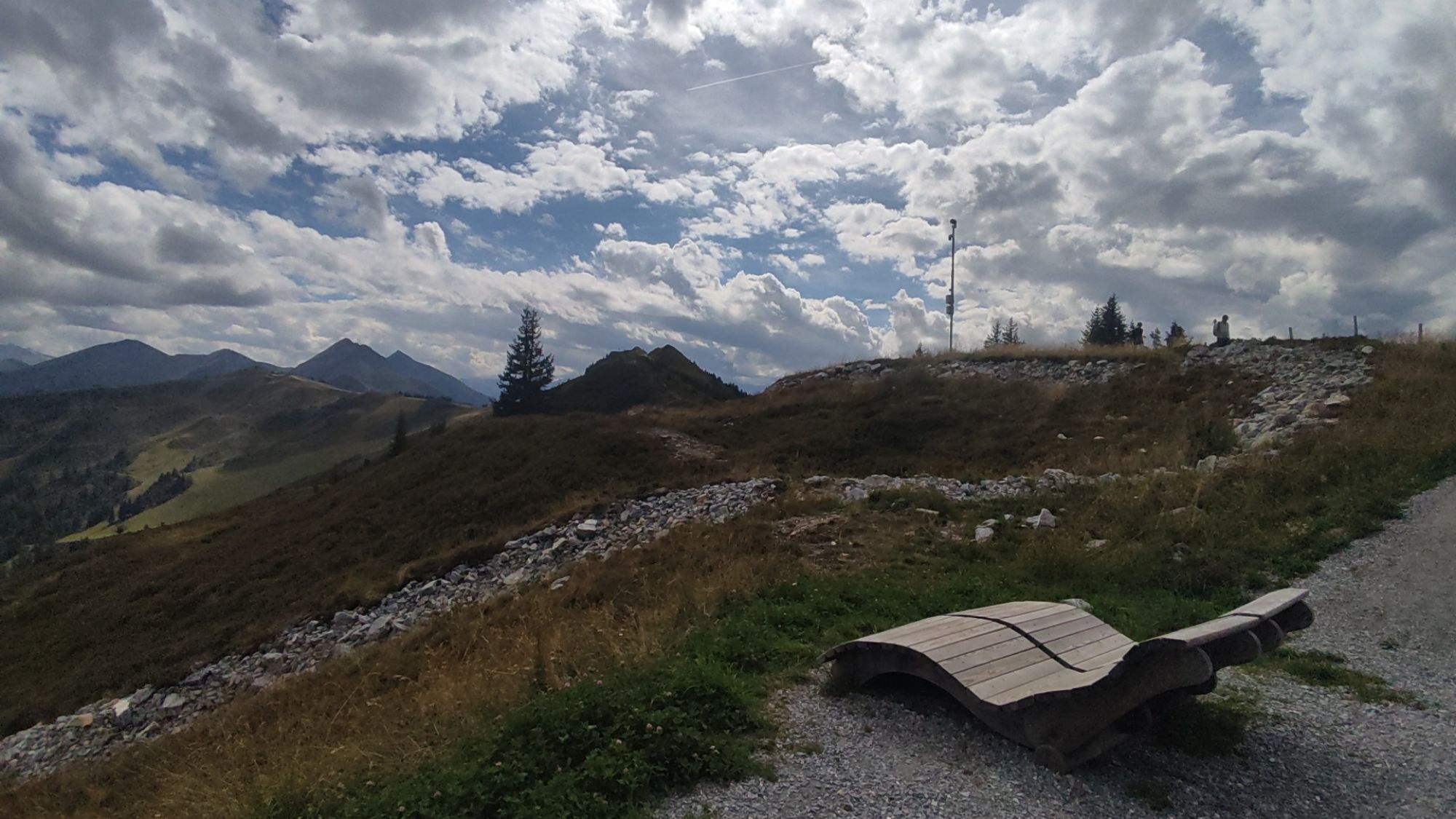
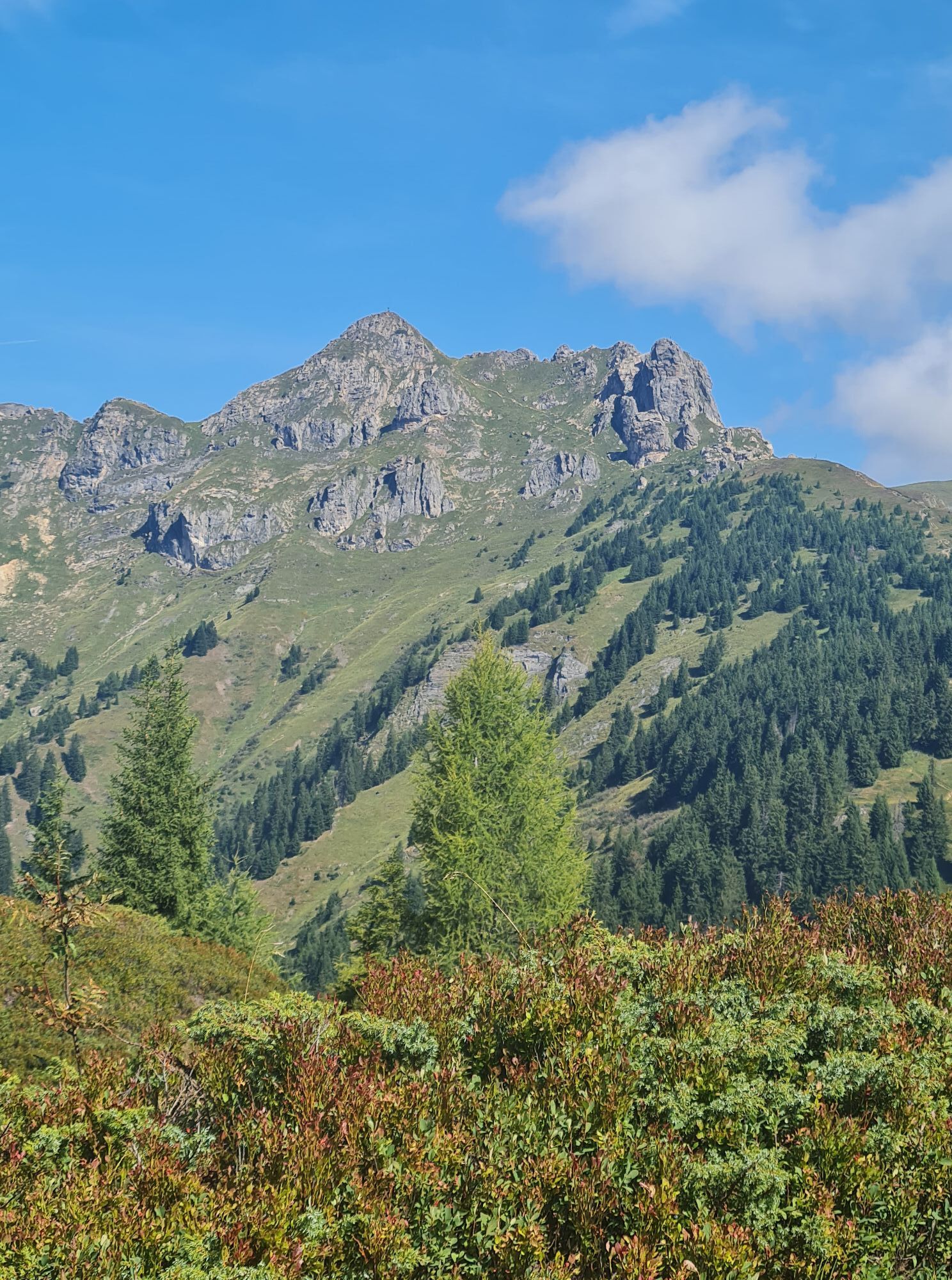
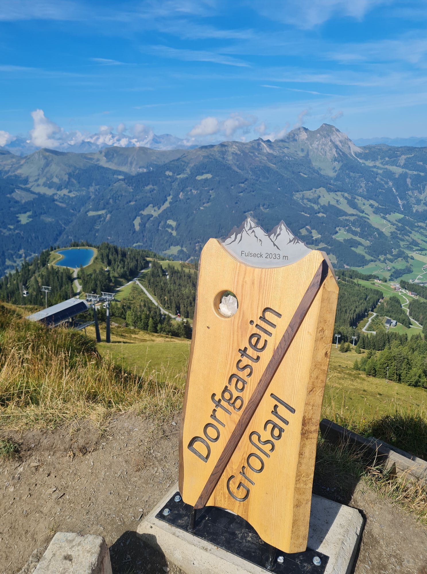
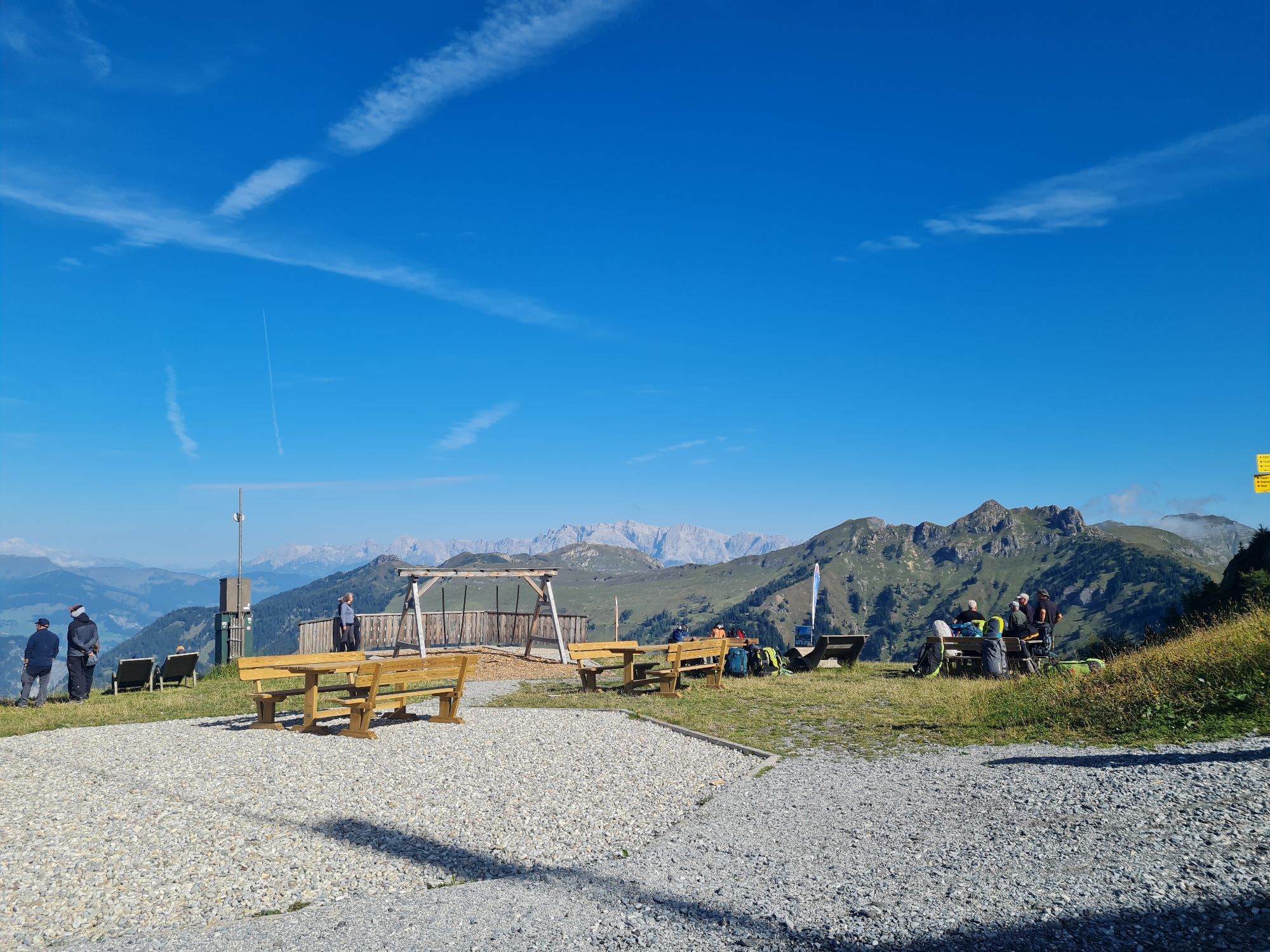
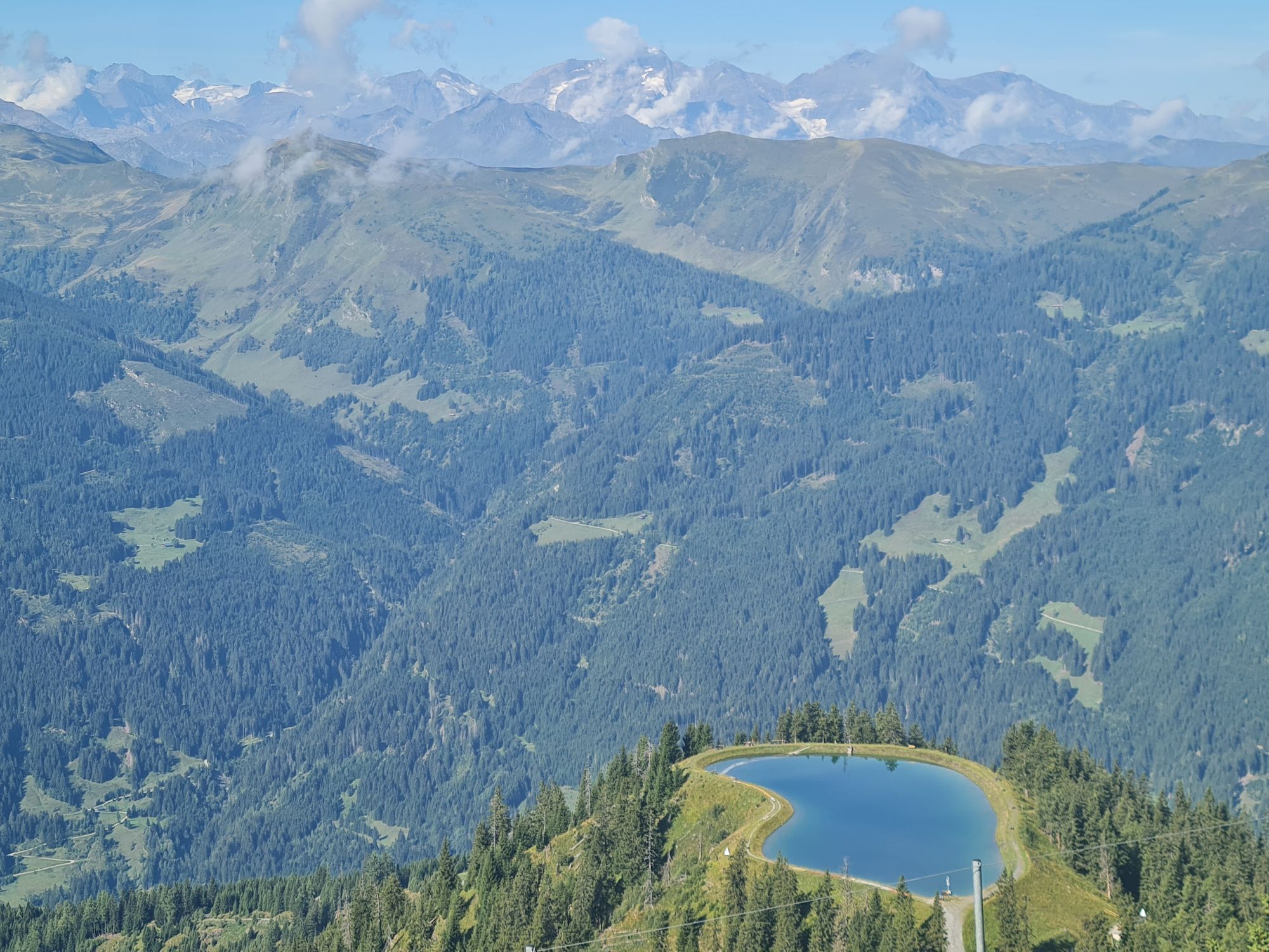
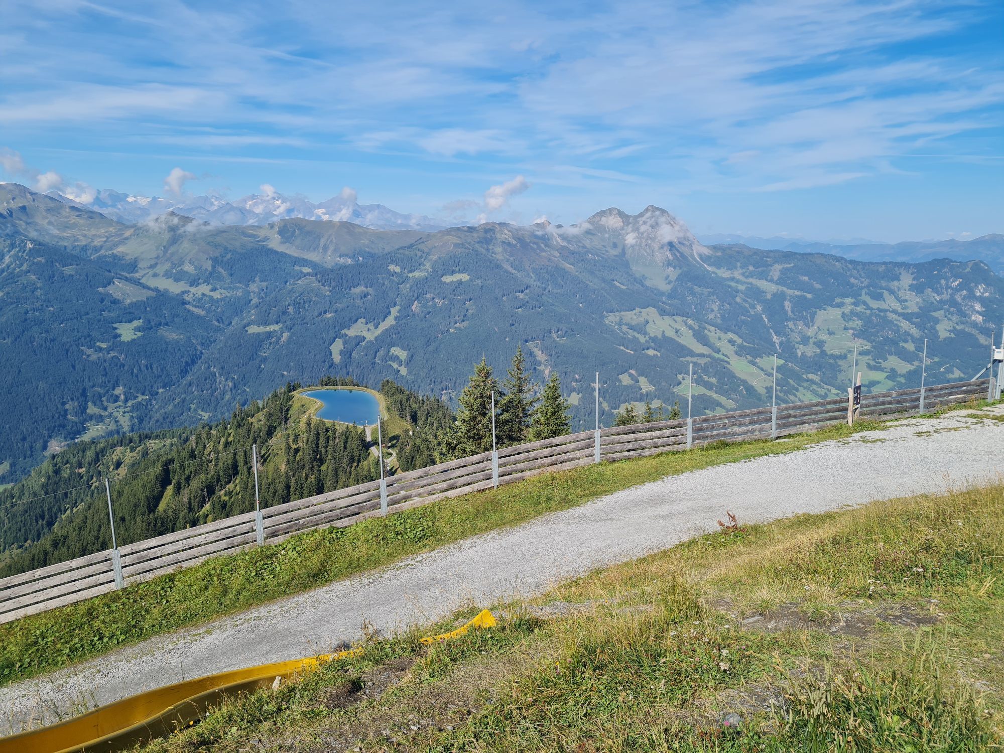
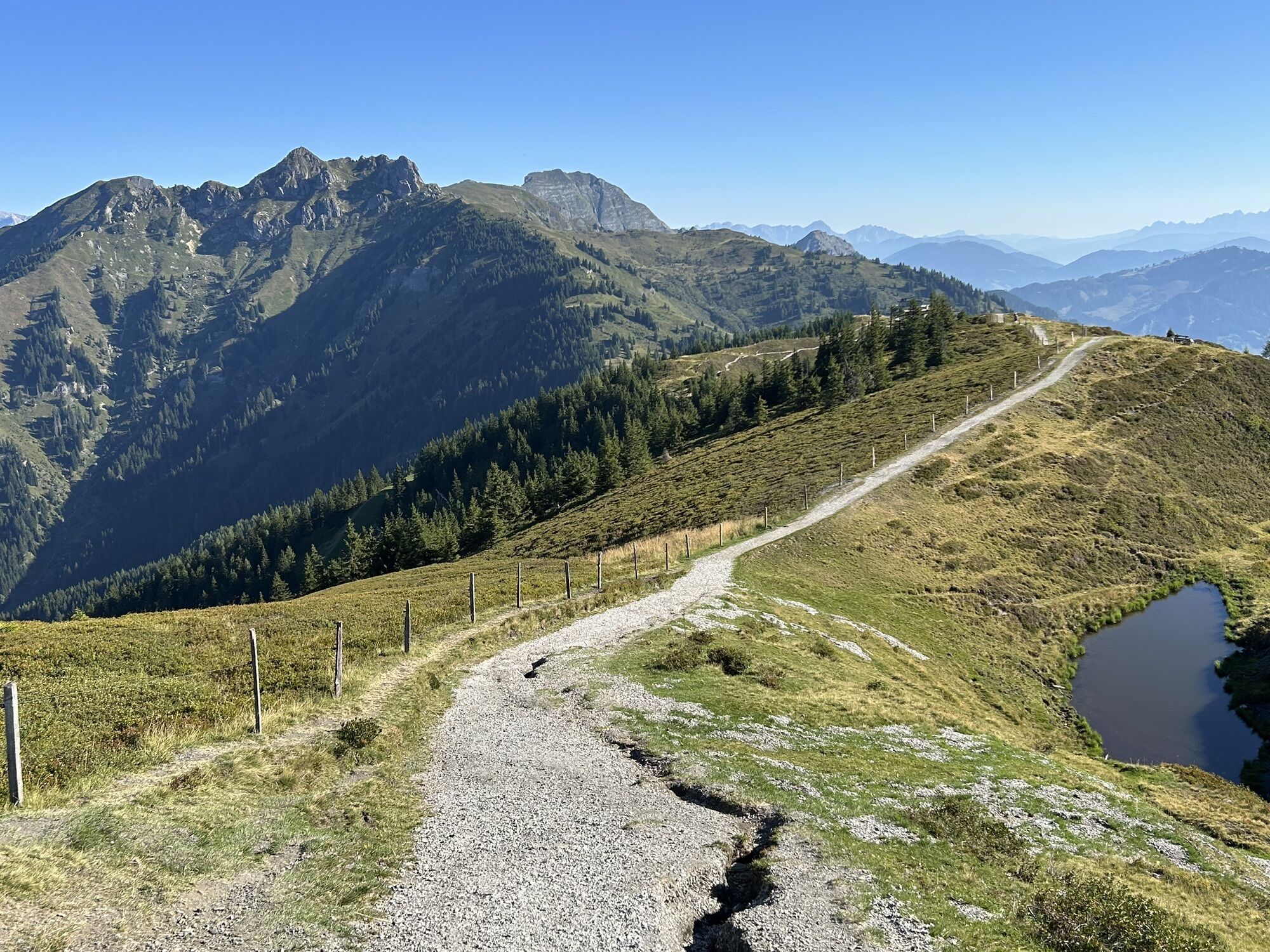
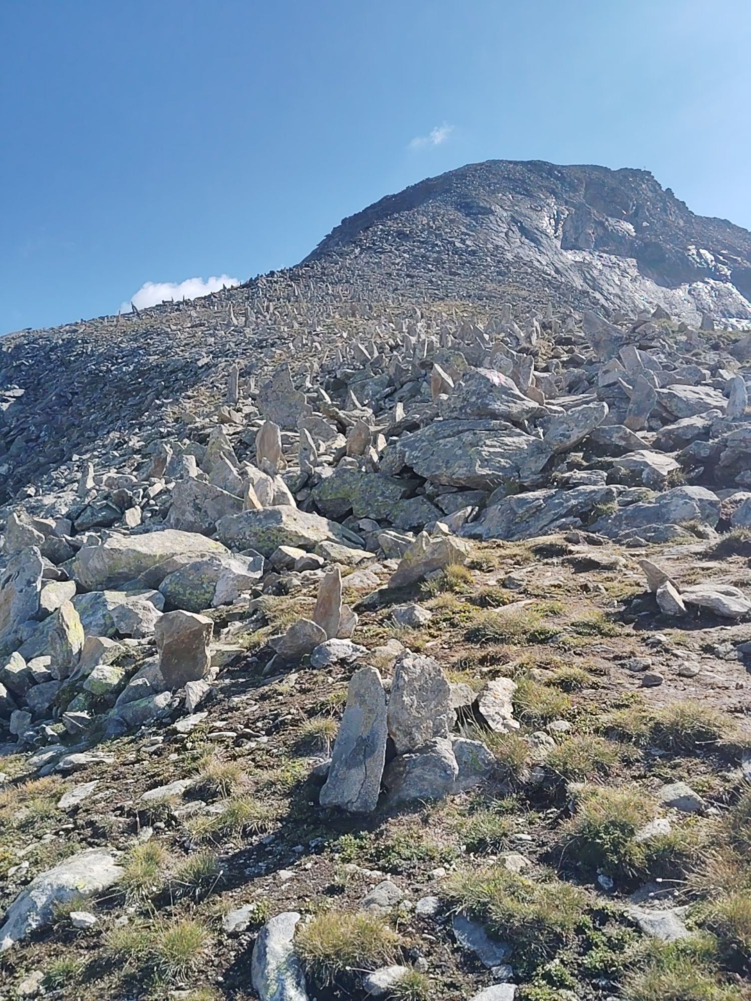
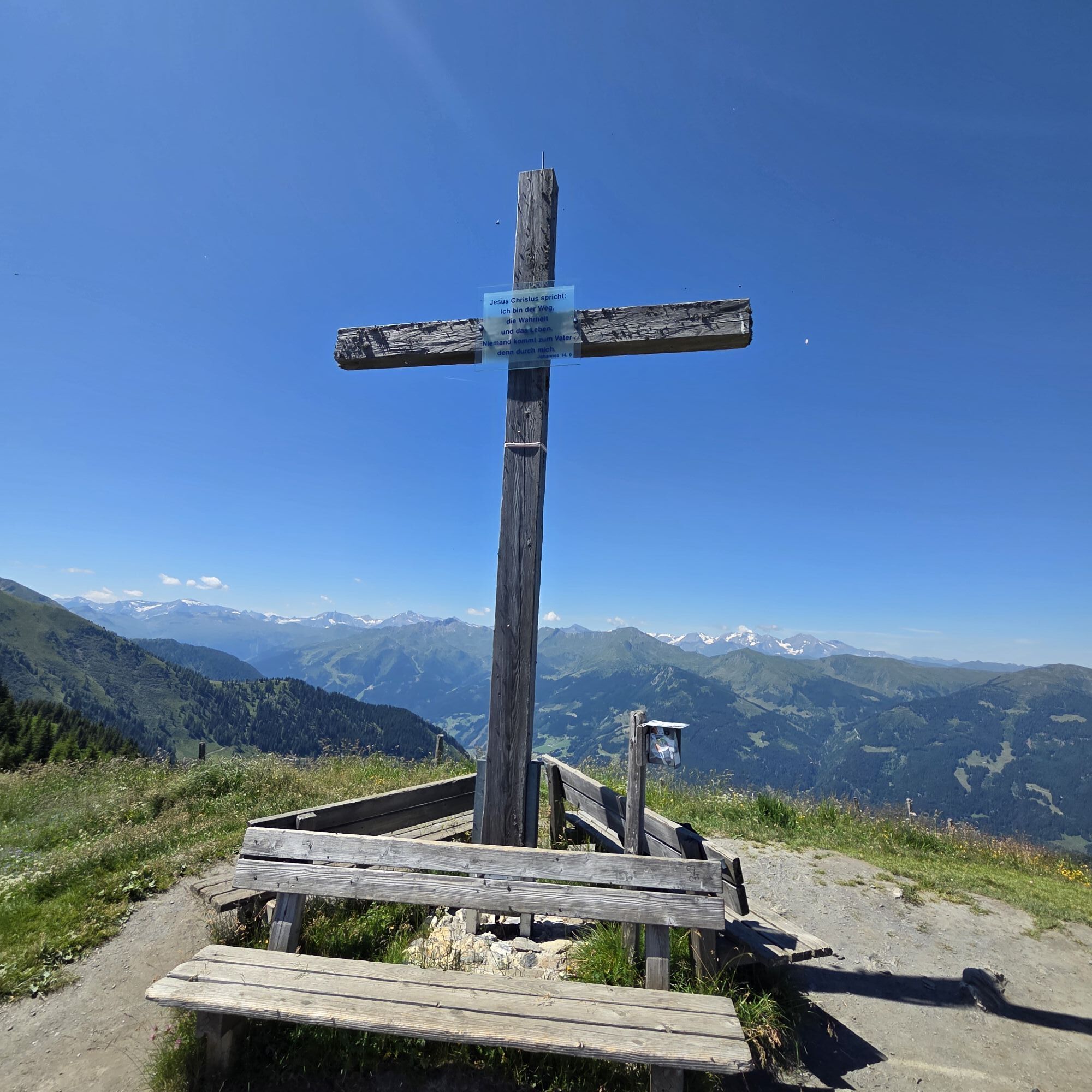
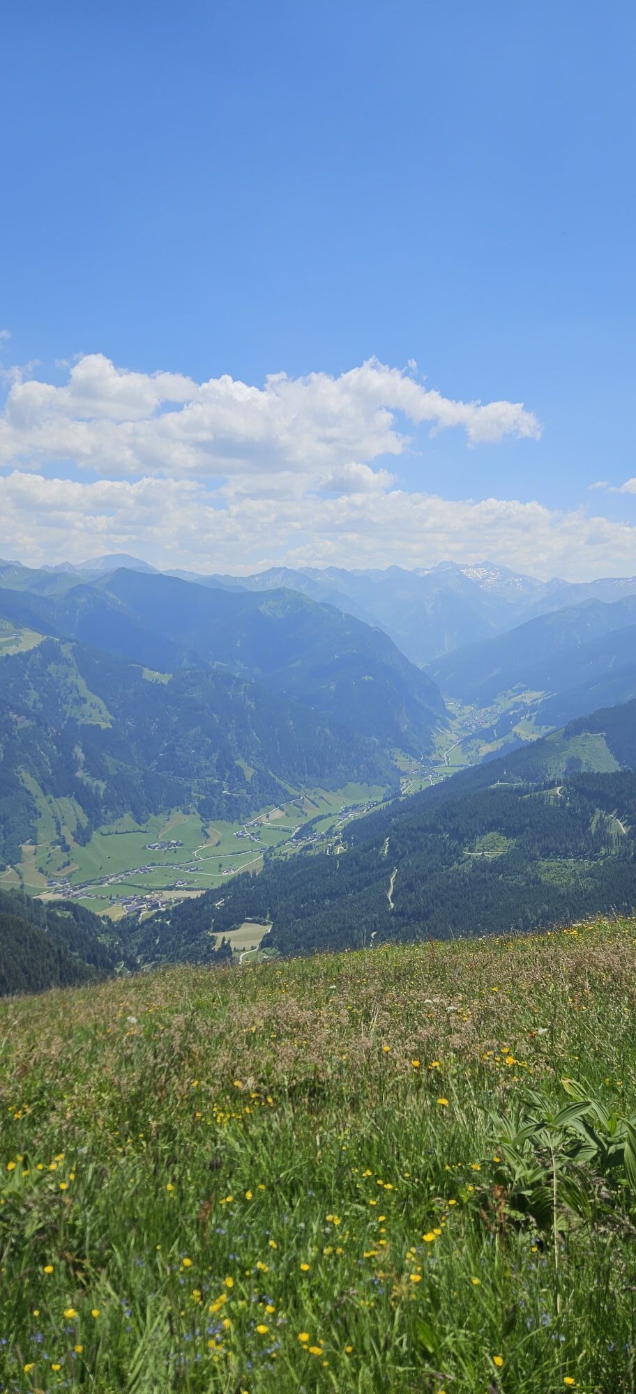
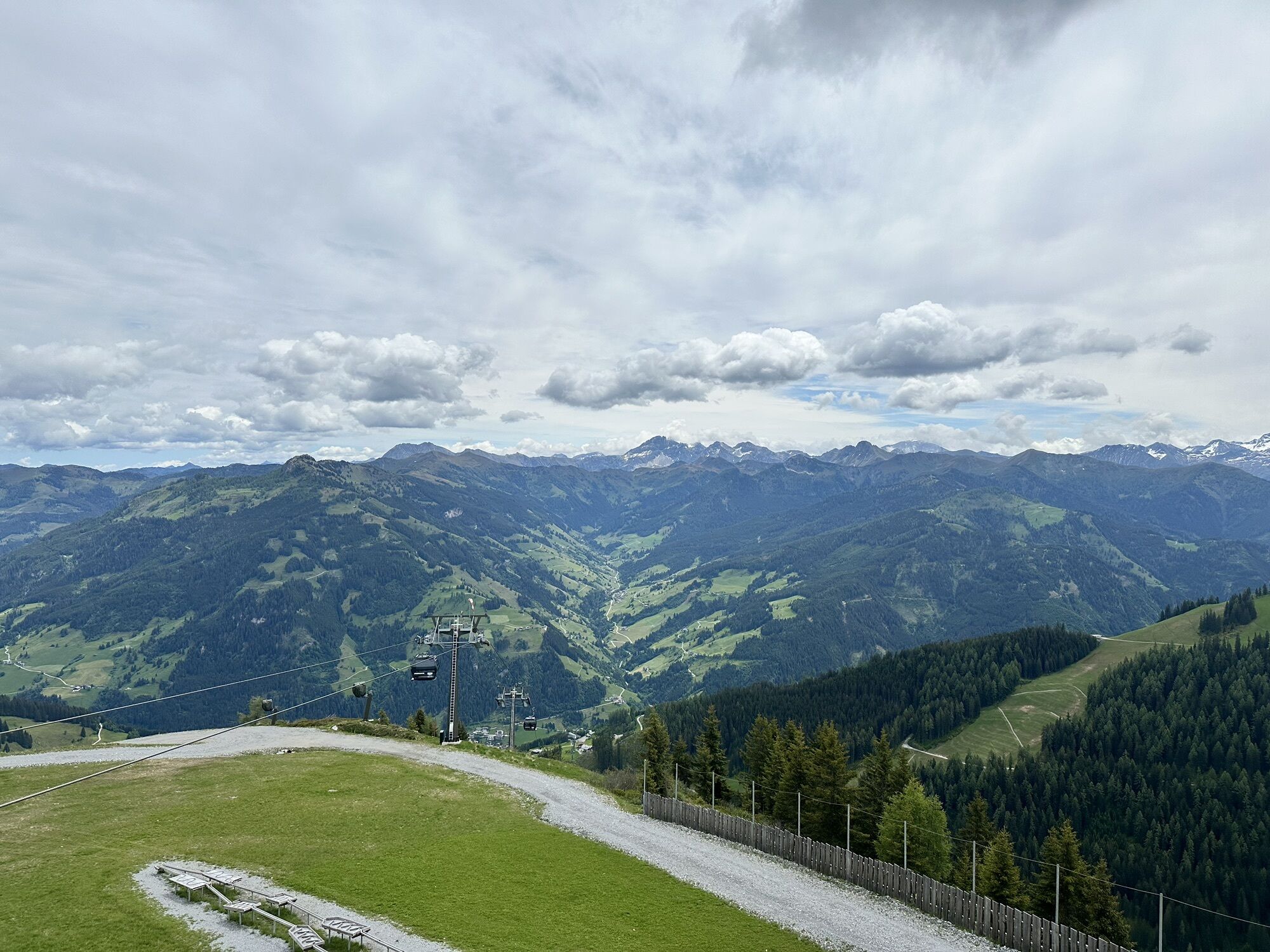
Ride with the Panoramabahn Großarltal to the panorama plateau. Here you immediately have the opportunity to indulge yourself with delicacies at the Laireiteralm . Uphill it goes very leisurely along a country road to the Kreuzkogel. From the Kreuzkogel you have a magnificent view of the surrounding mountain world and you already have a real summit experience, although you have not been on the way for long. Then it first goes downhill, then uphill to the Fulseck. This is the mountain station of the gondola from Dorfgastein. Right at the summit stands the "Gipfelstadl", where you will be treated to delicacies. After a short break, it goes downhill again to the Arltörl. This is the deepest cut between Großarl and Dorfgastein and was formerly used as a trade route.
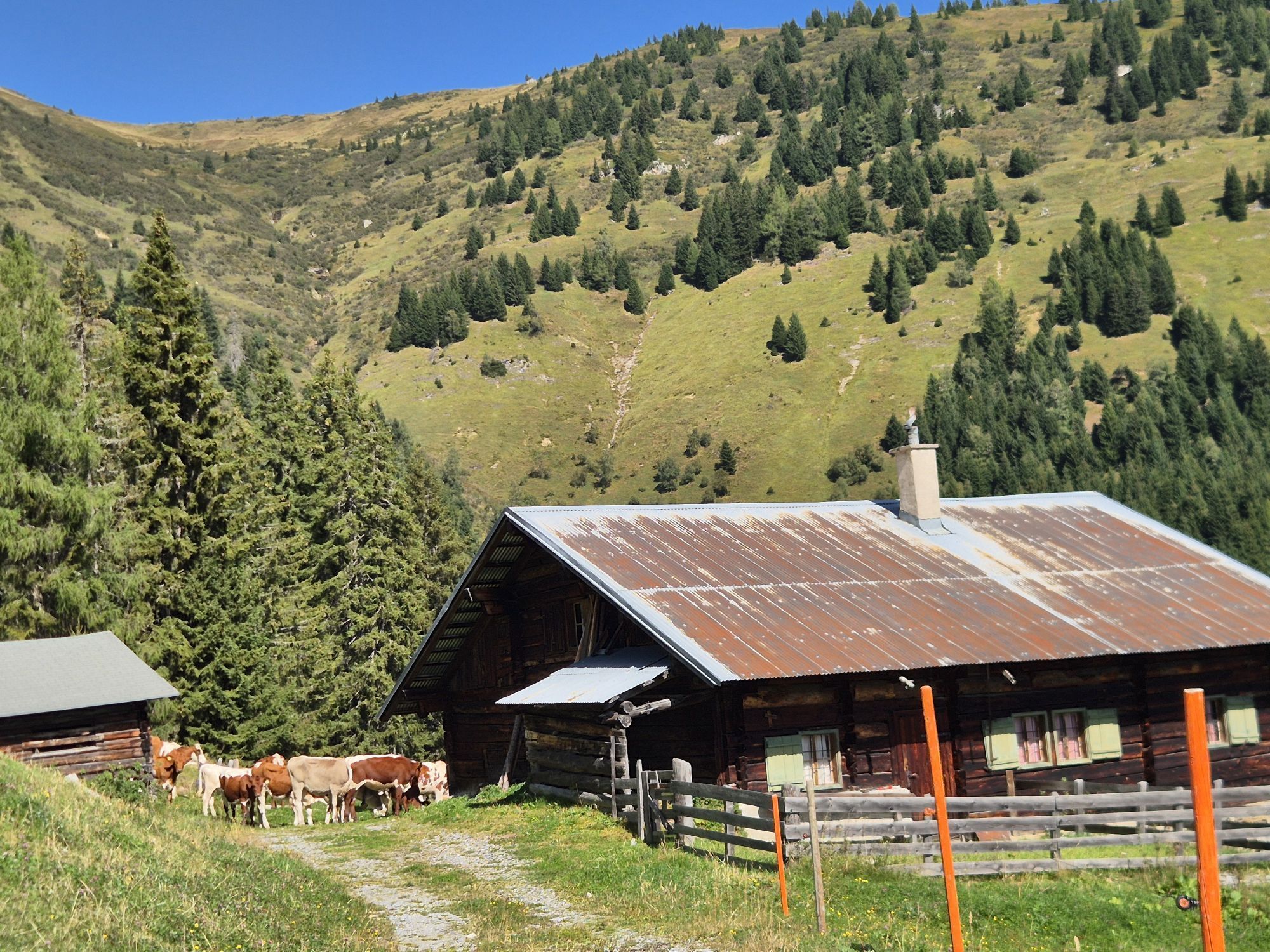
The descent takes place via the Roslehenalm and past the Berglandhaus. As early as 1932, the Berglandhaus was one of the first houses in Salzburg to be open to the public for tourism. The Bergland ski home was a very modern house for the time, as it already had a central heating system (operated by gravity). In 1937 the ski home received electricity, which was generated by its own power plant. Nevertheless, the way to the holiday was arduous, as there was no road leading up; the Berglandhaus could only be reached on foot, with skis or with sledges and horses.
In the mid-fifties of the last century (1955-1958) the Berglandhaus experienced a real boom: the then owner was none other than Sepp Forcher. According to statements by Hedi and Sepp Forcher, the time they spent in the Berglandhaus was the most beautiful in their lives. Slowly, winter tourism at Berglandhaus decreased as the Großarler cable cars were built. Therefore, the hut keepers discovered summer tourism for themselves and even created their own bathing pond directly next to the Berglandhaus. Today, the Berglandhaus is managed by the healer and chiropractor and therapeutic masseur Sigurd Berndt. Down to the valley it goes by gondola, from the mid-stations.


Ascent with the Panoramabahn Großarltal to the Panorama plateau, 1,840 m - leisurely ascent on the forest road (path no. 36) to the Kreuzkogel, 2,027 m (approx. 1/2 h) – relaxed ridge hike with short ups and downs along the mountain ridge from Kreuzkogel over the Fulseck, 2,035 m (= mountain station of the Dorfgastein cable cars) to the Arltörl, 1,797 m, (approx. 1 1/2 h). Descent on path no. 35 to the Berglandhaus, 1,631 m – continue as follows: Variant I: On the forest road (path no. 35) downhill to the Lainholz farmhouse – downhill along the Rattersbergweg (path no. 34) back to Großarl (approx. 2 h). Variant II: On the forest road (path no. 35) past the Roslehen-Hochalm (not managed) – after a few 100 meters turn right at the fork in the path (path no. 35A). This alpine path then leads past the Roslehen-Heimalm (not managed) through the Unterberggraben to path no. 36 (forest road) after a few minutes’ walk downhill you reach the Alpentaverne-Zapfenhütte, 1,326 m (approx. 1 h). Descent by gondola from the mid-stations.
Tak
Tak
Tak
Mountaineering boots with profile sole, hiking map
Drive by car or Postbus line no. 540 from St. Johann im Pongau/Hüttschlag to Großarl (bus stop Sportzentrum).
Cable cars parking lot
A short detour to the Spiegelsee is worthwhile. There is a barefoot and a wobbling stone path here.


Kamery internetowe z trasy
-
Fulseck
-
Hotel Lammwirt im Großarltal/Ellmautal
-
Dorfgastein - Spiegelsee
-
Bergstation 6er Sesselbahn Harbach
-
Gästehaus Hagenhofer - Dorfgastein
-
Ellmautal - Palfenhof
-
Kühhagerbahn Bergstation
-
Großarl - Ort
-
Dorfgastein - Spiegelsee
-
Dorfgastein - Spiegelsee
-
Dorfgastein - Spiegelsee
-
Dorfgastein - Spiegelsee
-
Dorfgastein - Bergl
-
Großarl - Kieserlbahn
-
Grossarl - Hotel Gasthof Schützenhof
-
Großarl - Hotel Kristall Übungslift
-
Bergstation Kieserl
-
Fulseck
-
Fulseck
-
Fulseck
-
Fulseck
-
Fulseck
-
Fulseck
-
Fulseck
-
Großarl

Aktywności na trasie
-

Großarl, Arltörl, Fulseck, Kreuzkogel
20.09.2026 – Wędrówka -

Kieserl, Salzburg/Österreich
20.08.2026 – Wędrówka -

Großarl, Salzburg/Austria
08.08.2026 – Wędrówka -
Großarl, Himmelsroute Kieserl - Kreuzkogel
28.06.2026 – Wędrówka -
Großarl, Salzburg/Österreich
13.06.2026 – Wędrówka -
Großarl, Salzburg/Österreich
29.05.2026 – Wędrówka
Popularne wycieczki w okolicy
-
5,0
Hüttschlag: Karteistörl - Tappenkarsee - Draugsteintörl - Draugsteinalmen
średniWędrówka 13,5 km -
4,9
Großarl: Heukareck
średniWędrówka 12,5 km -
4,2
Tappenkarsee Kleinarl
średniWędrówka 9,11 km -
4,8
Großarl: Himmelsroute
średniWędrówka 5,41 km -
4,7
Großarl: Mooslehenalm – Niggeltalalm – Viehhausalm
średniWędrówka 5,44 km -
5,0
Großarl: Mooslehenalm - Höllwand - Heukareck - Niggeltalalm
ciężkiWędrówka 13,2 km -
4,7
Großarl: Saukaralm - Saukarkopf - Gerstreitalm
średniWędrówka 9,39 km -
4,5
Gastein high path from Bad Gastein to Bad Hofgastein
światłoWędrówka 8,58 km -
4,8
Grossarl: Gründegg
średniWędrówka 9,58 km -
4,8
Großarl: Bichlalm
średniMountainbike 18,9 km
Wędrówki i tropienie


Nie przegap ofert i inspiracji na następne wakacje
Twój adres e-mail została dodana do listy mailingowej.


