







Mönchsberg
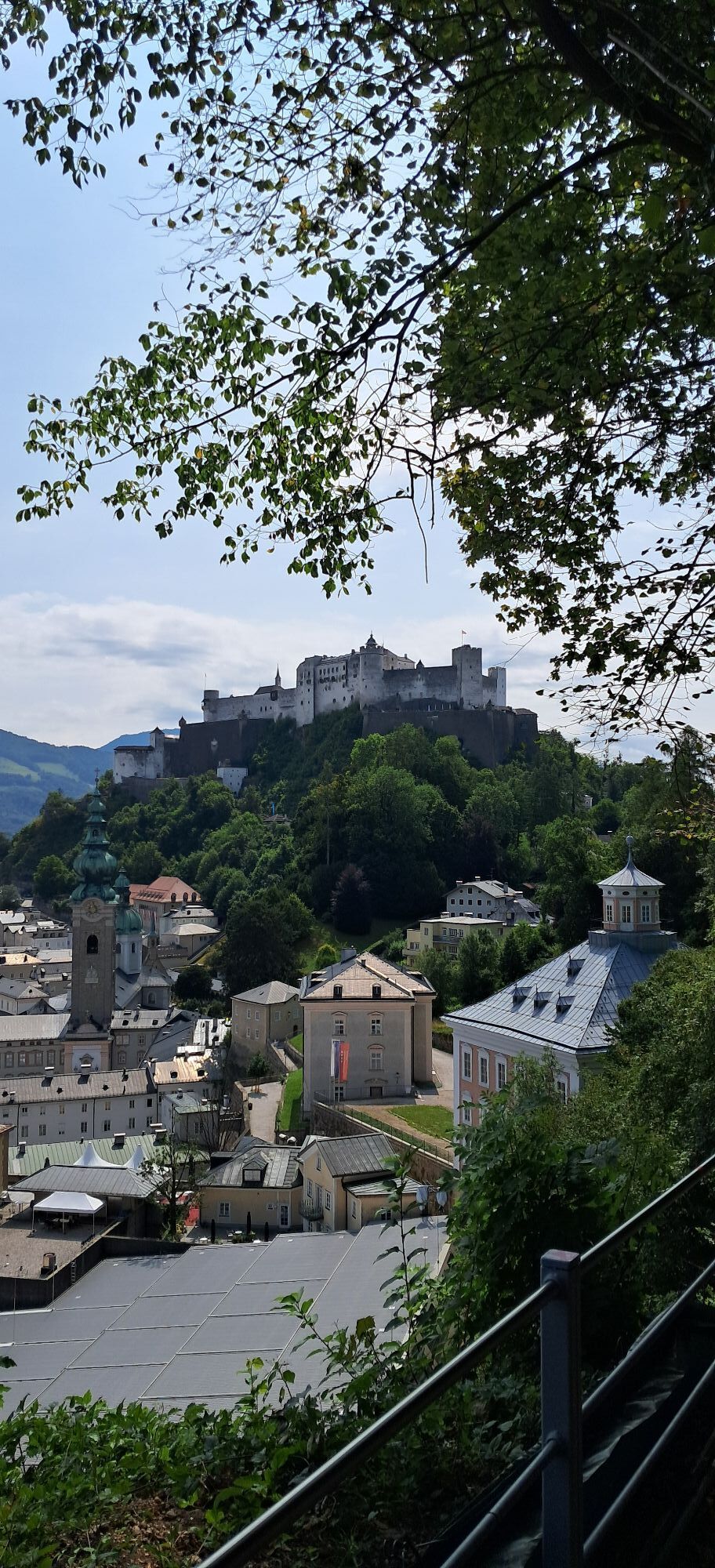
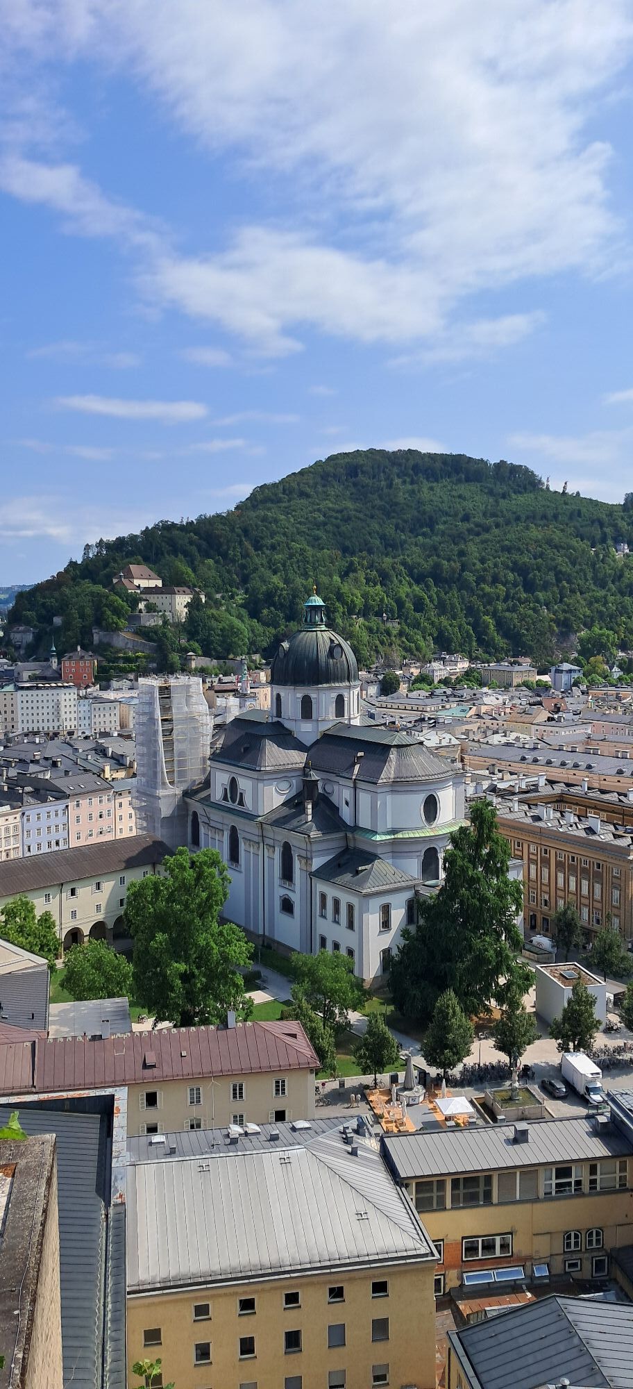
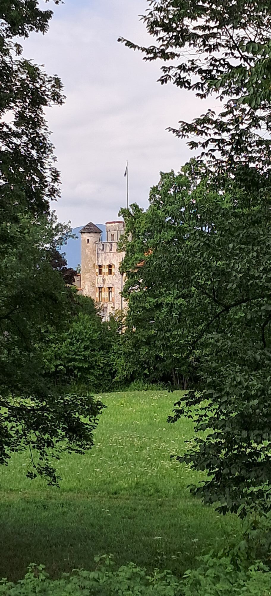
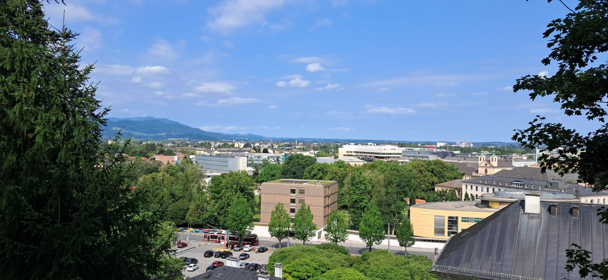
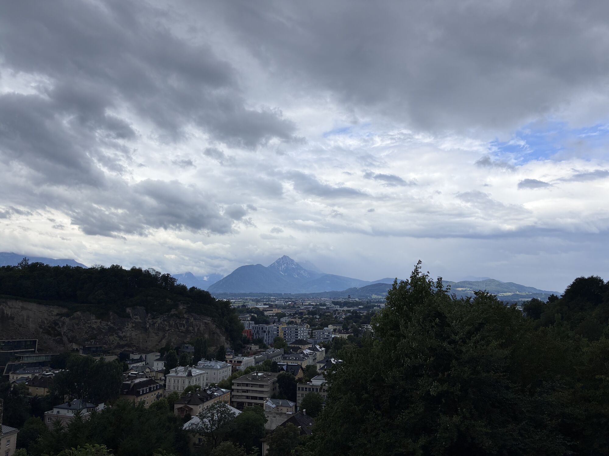
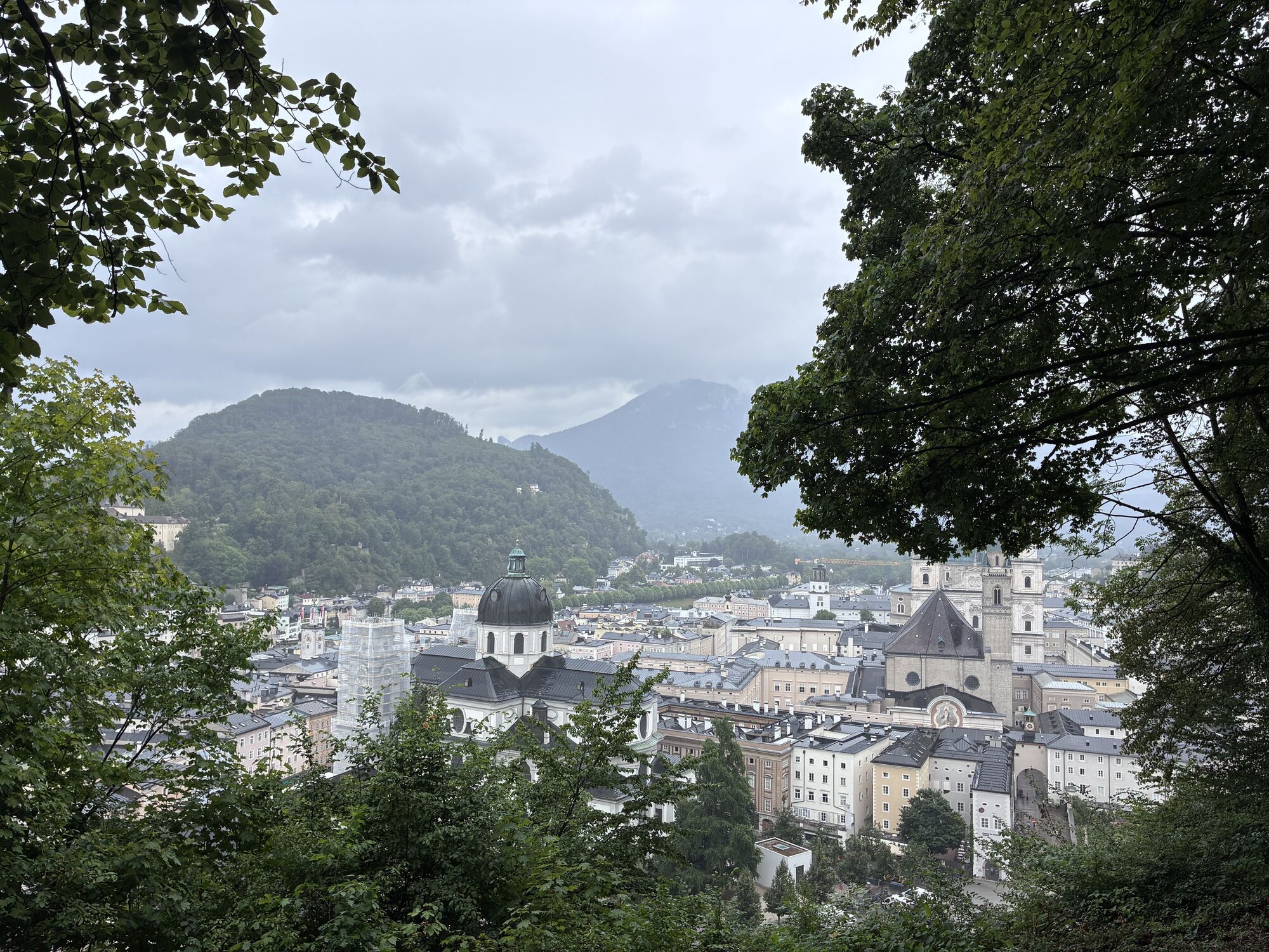
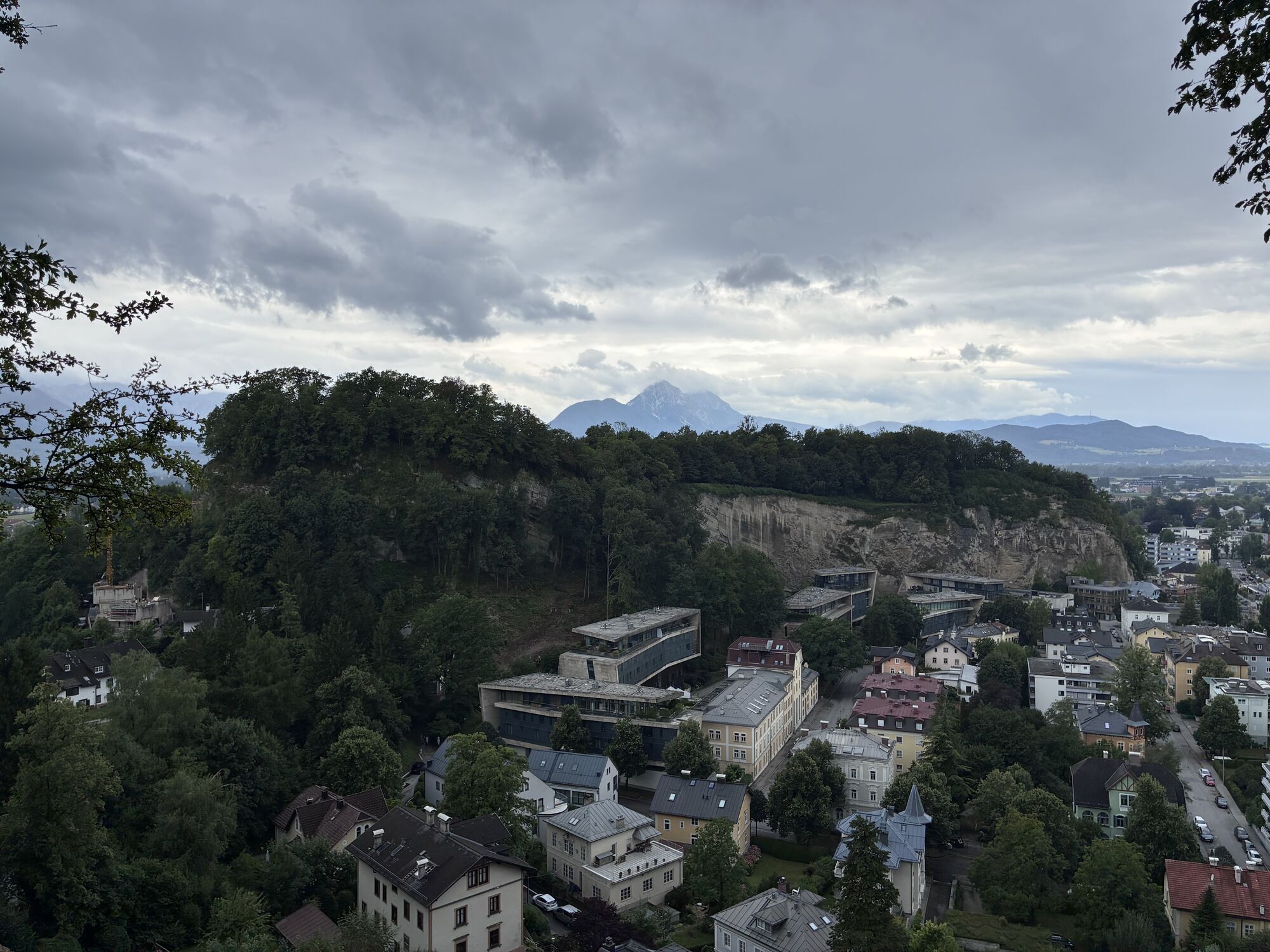
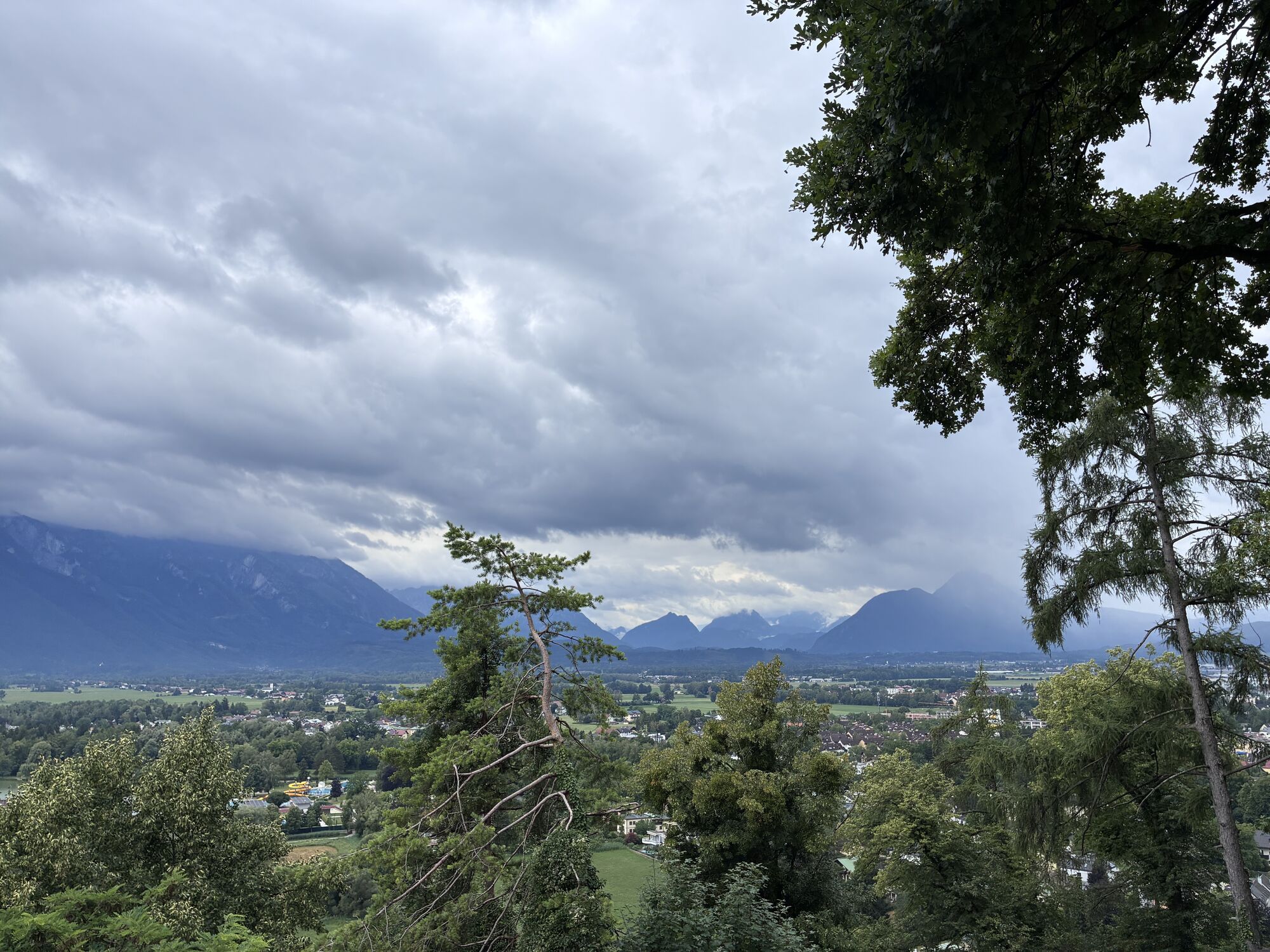
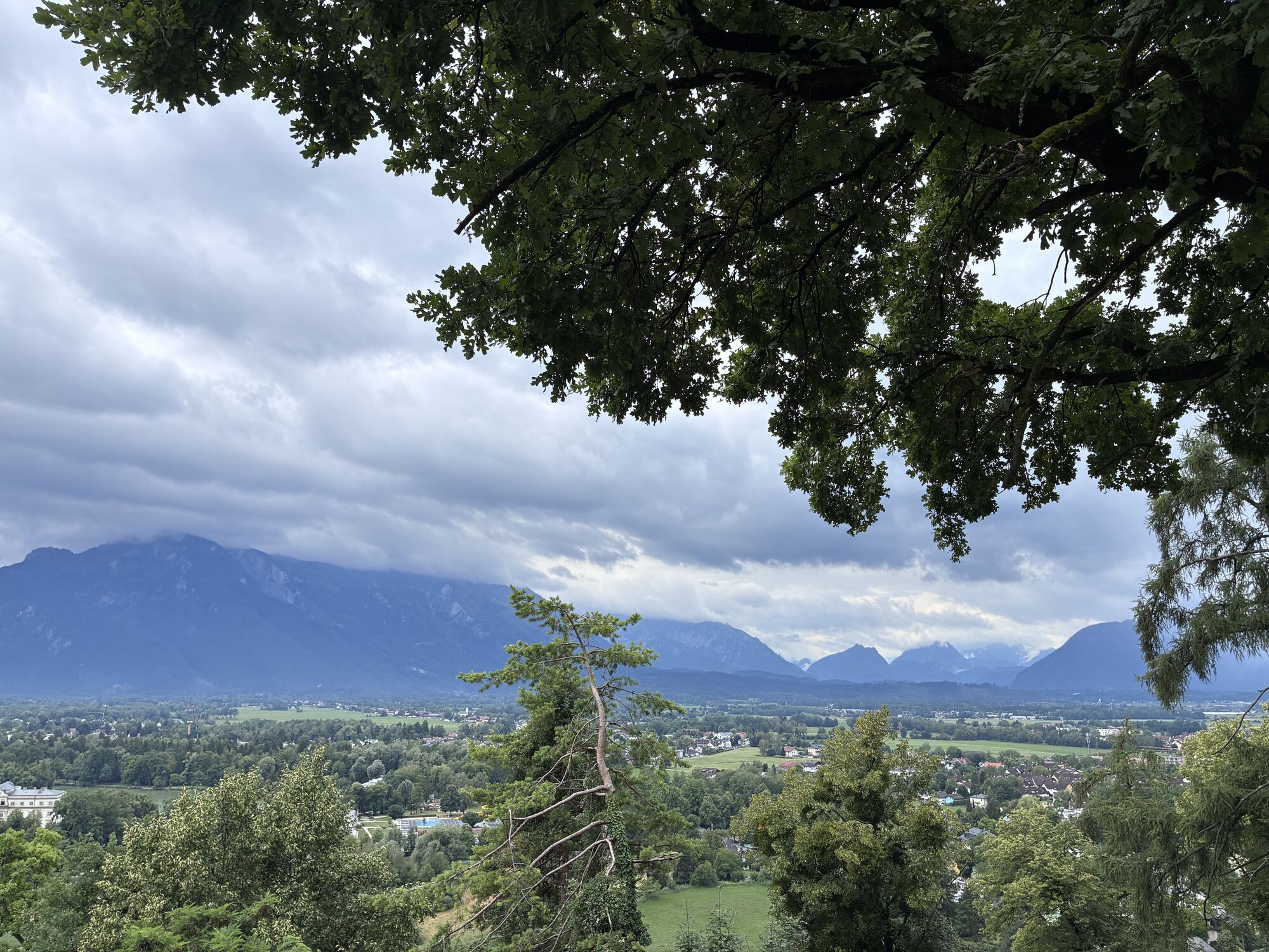
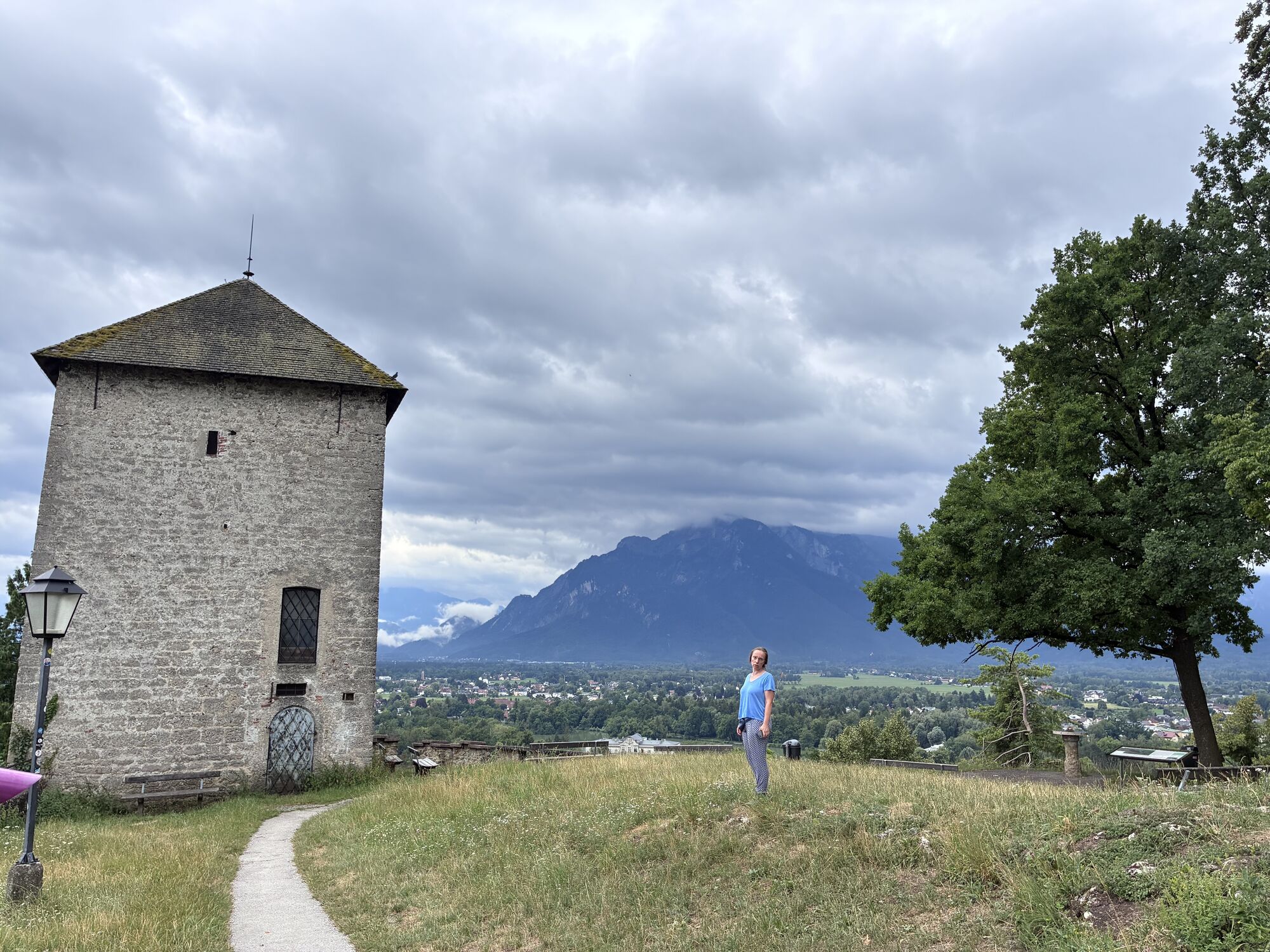
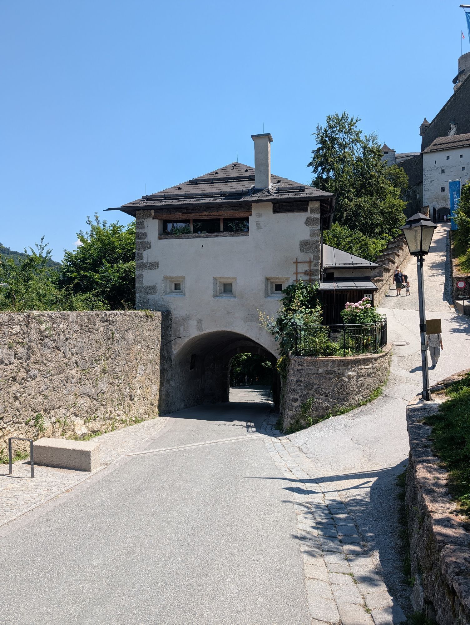
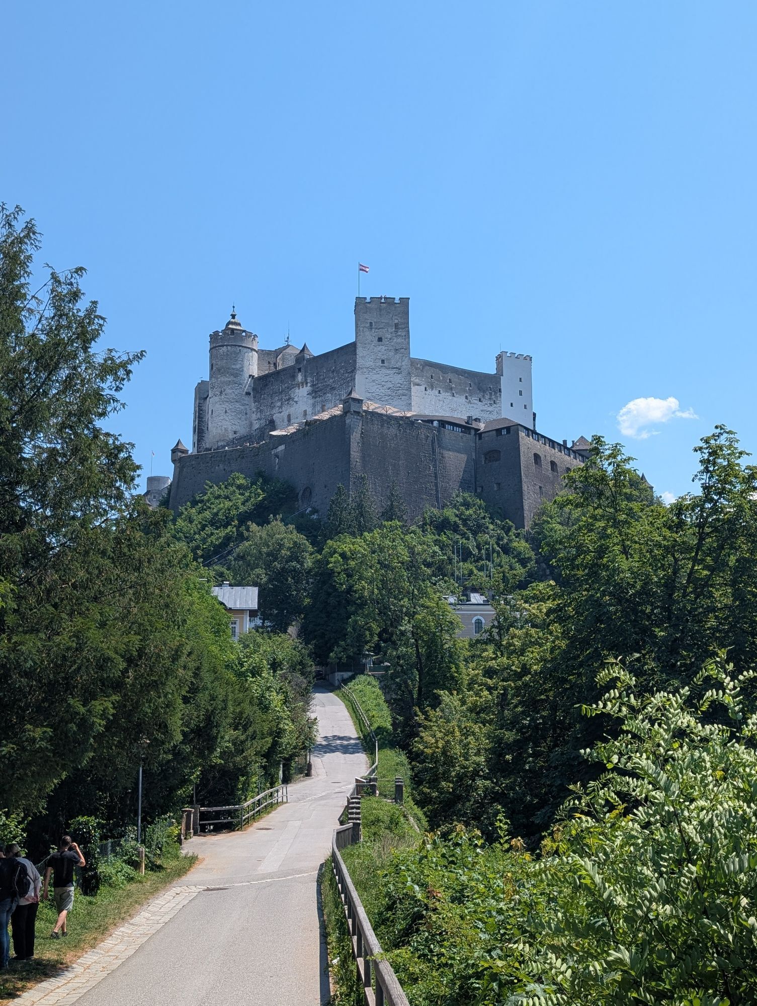
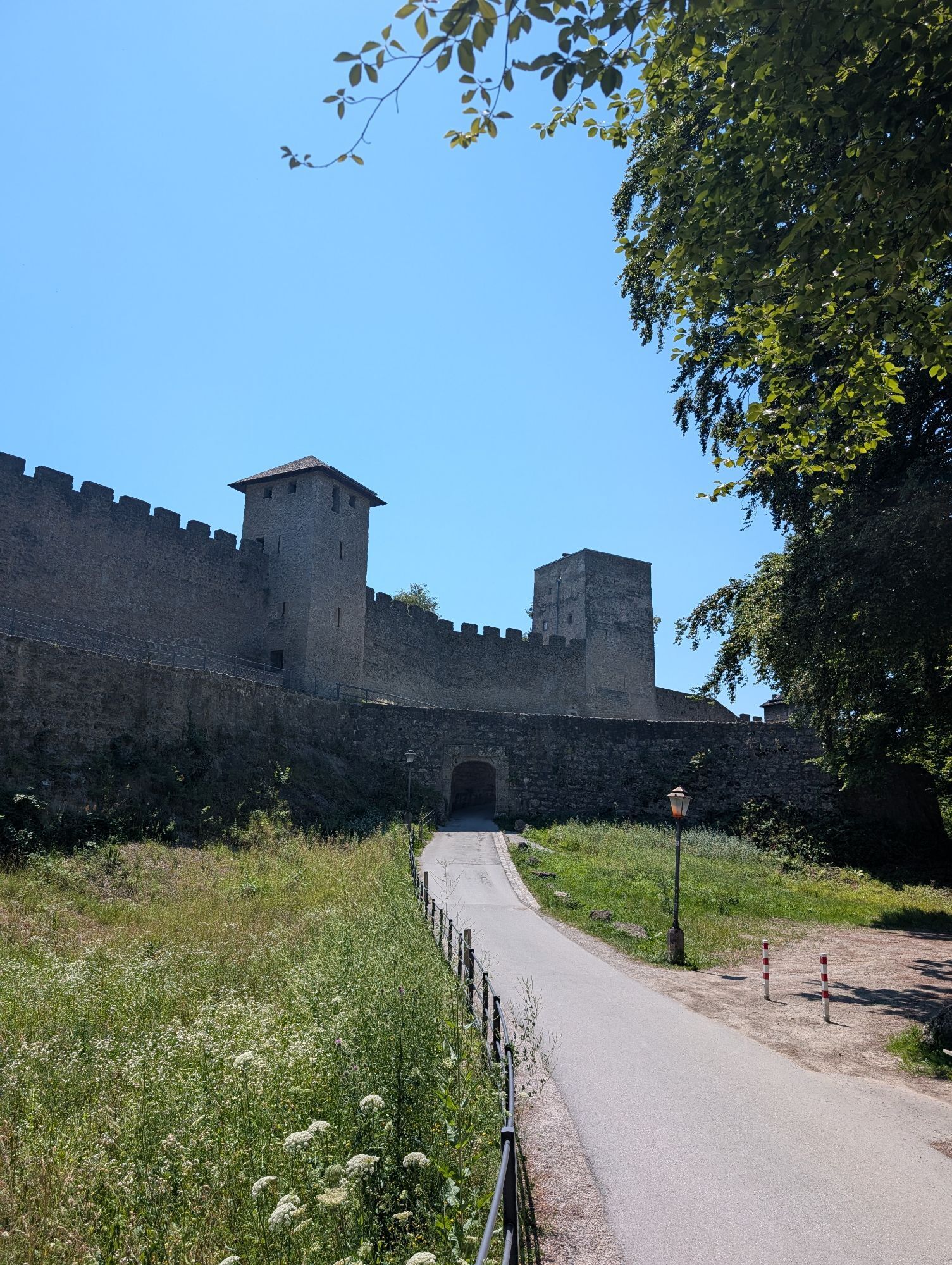
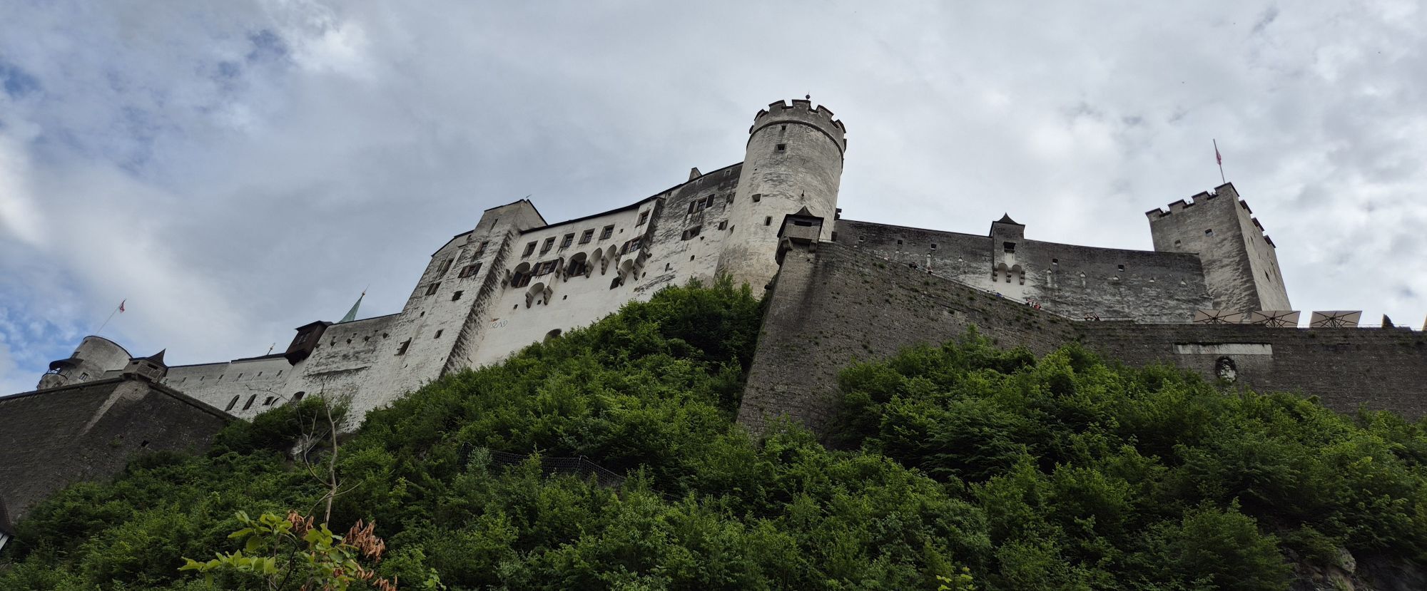
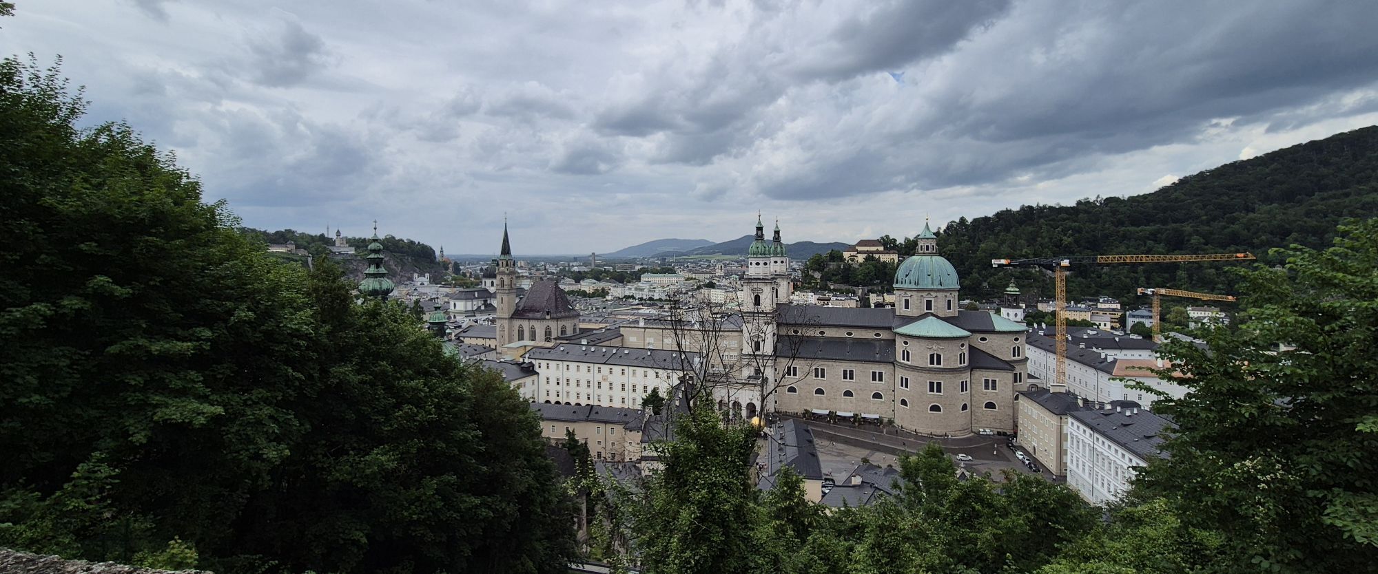
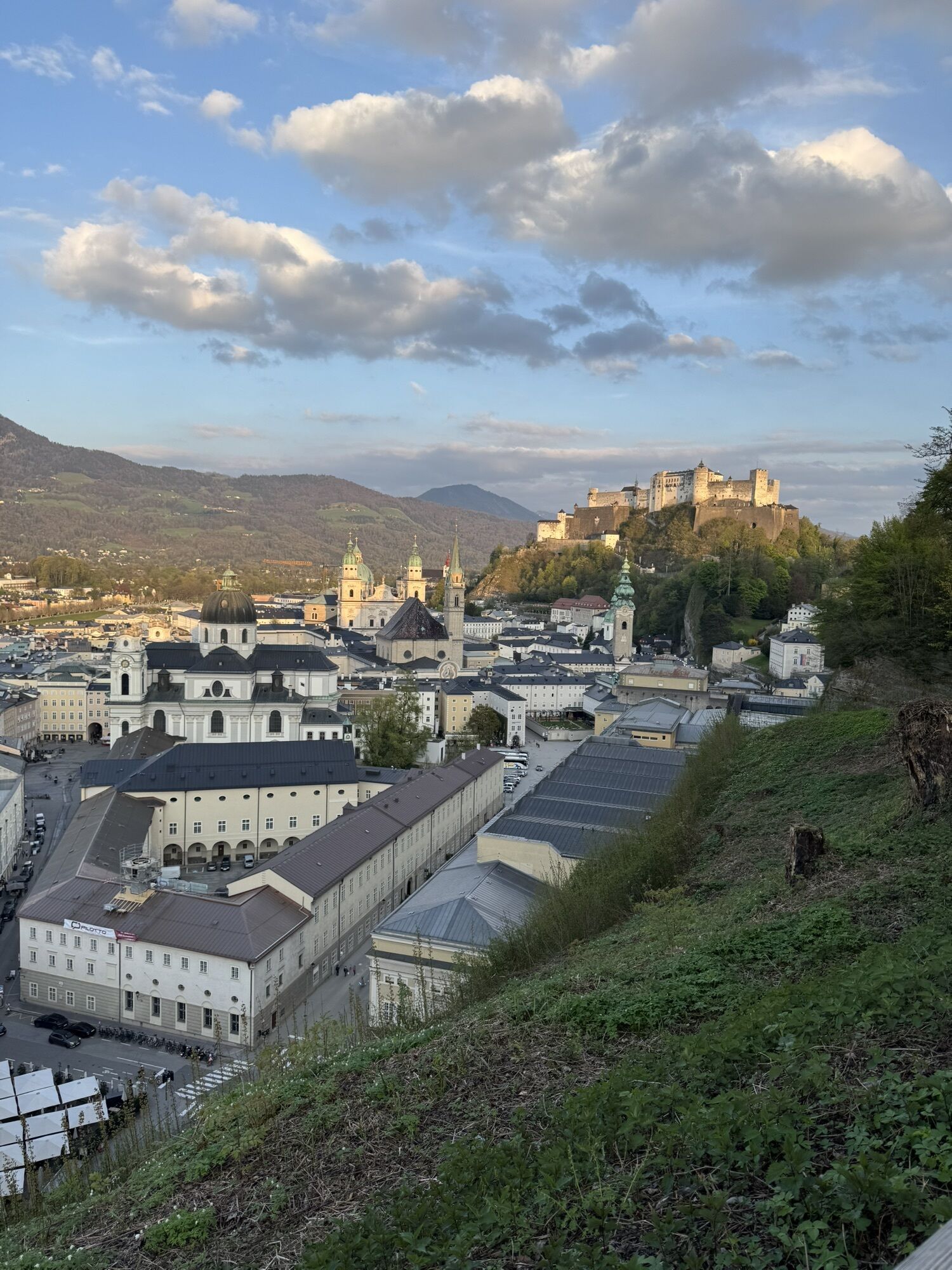
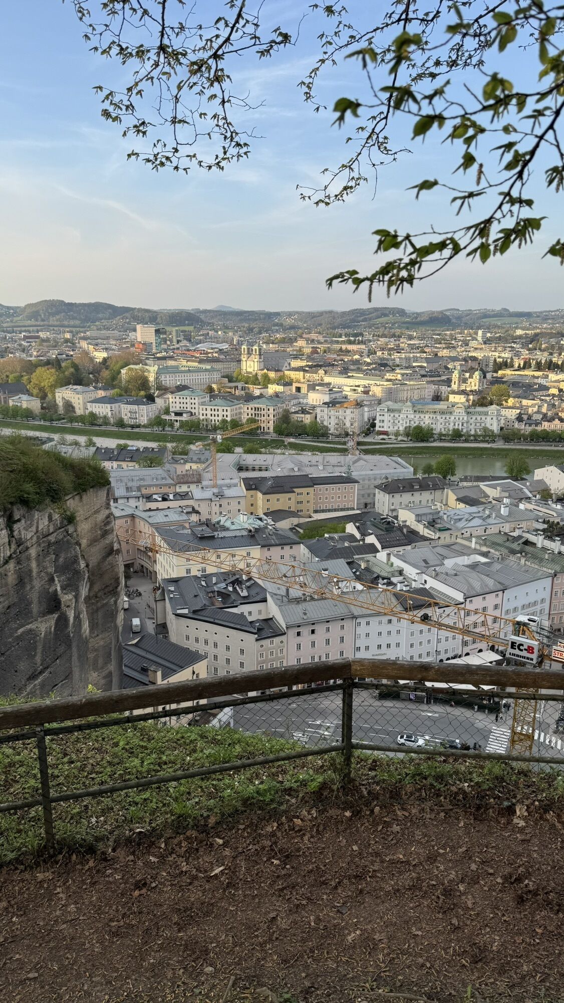
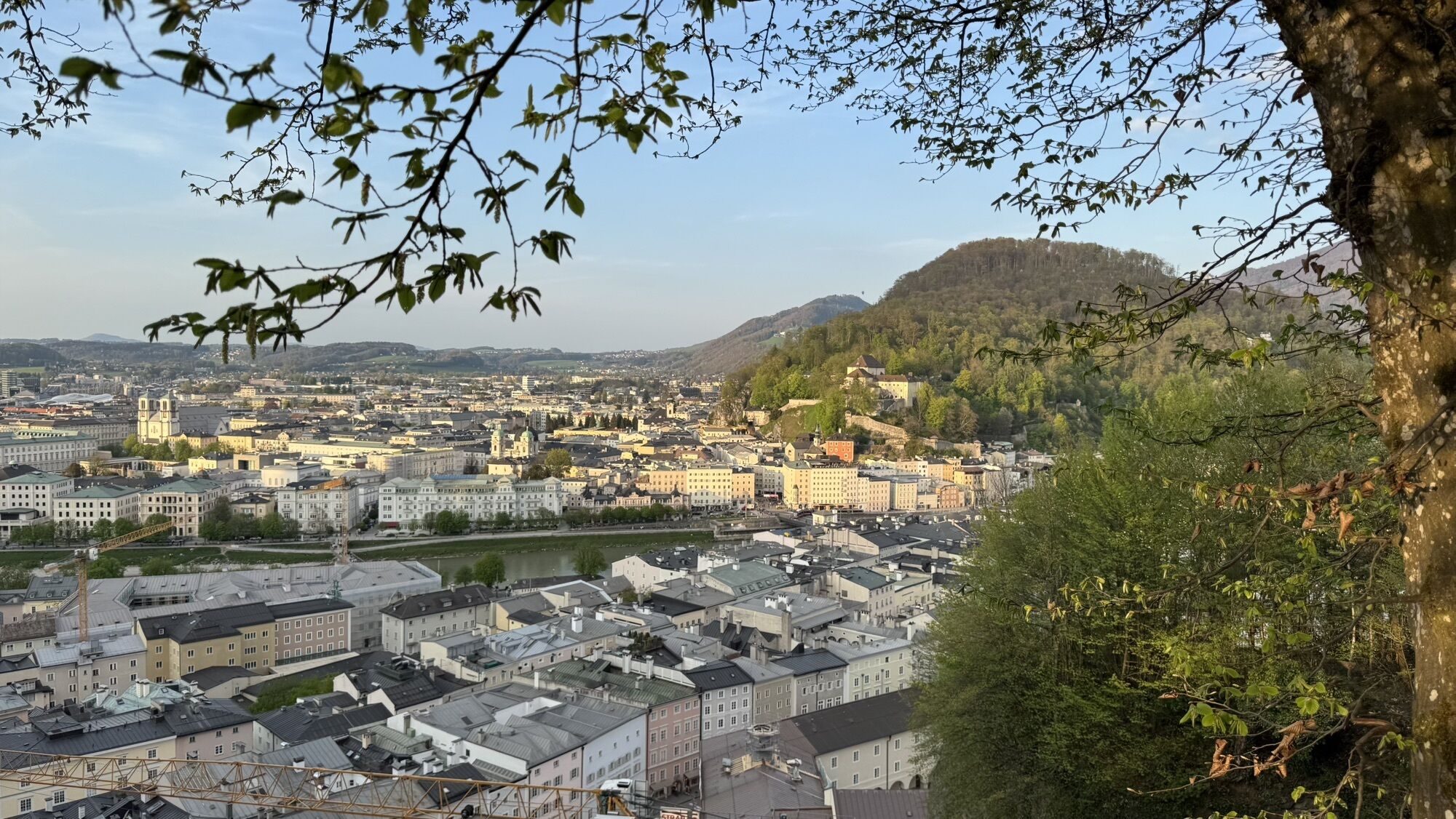
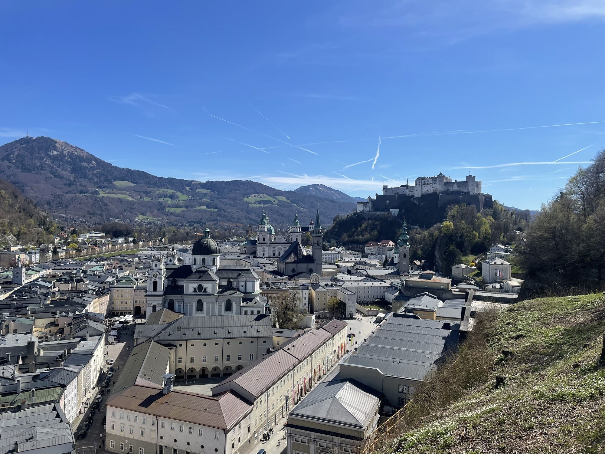
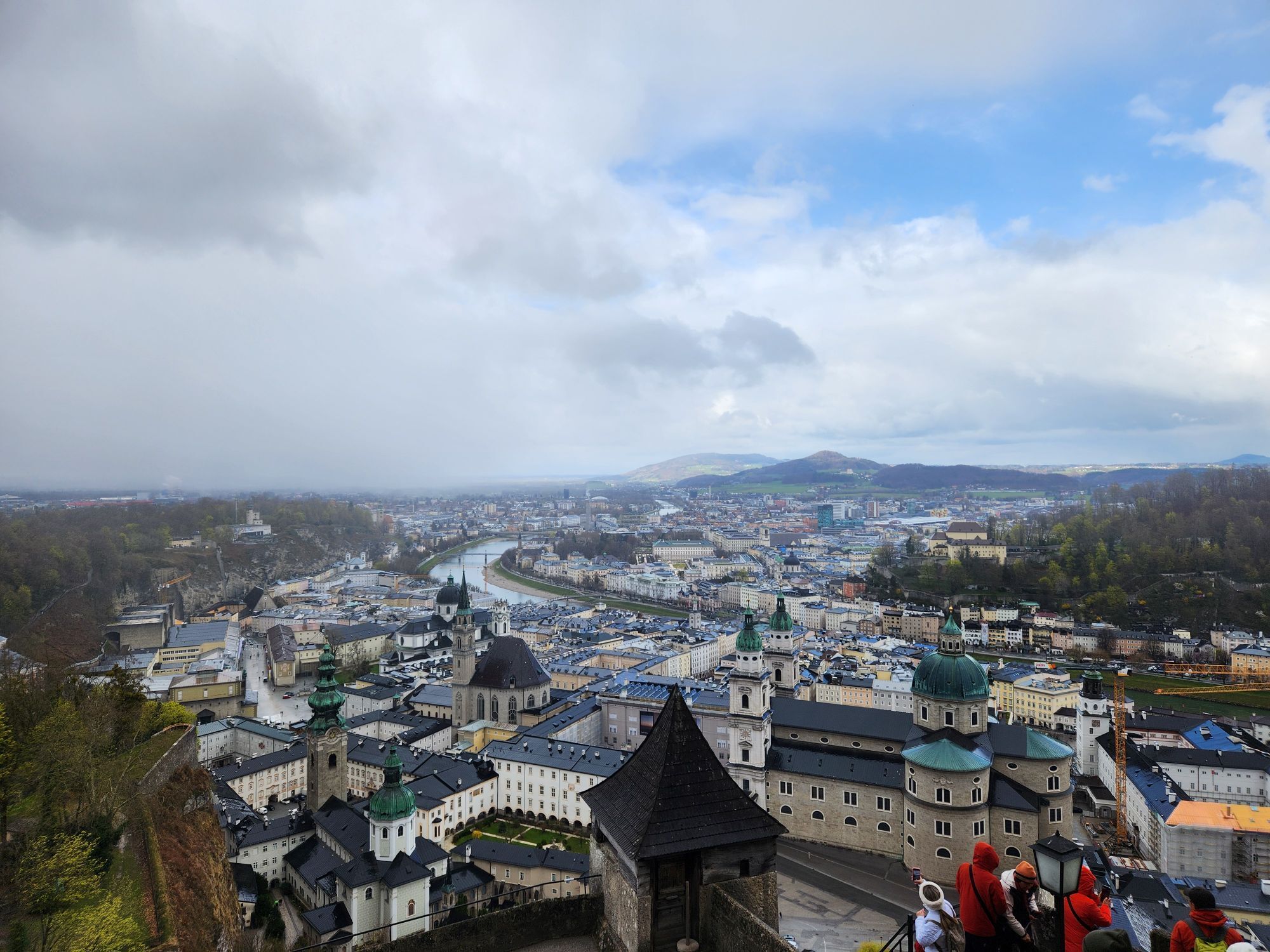
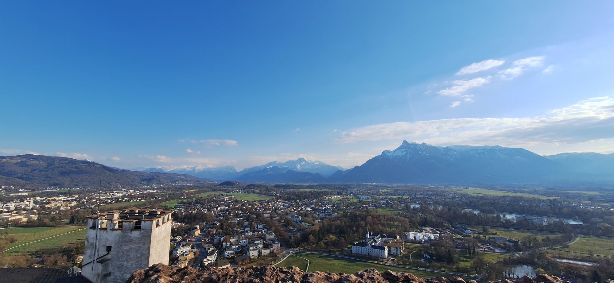
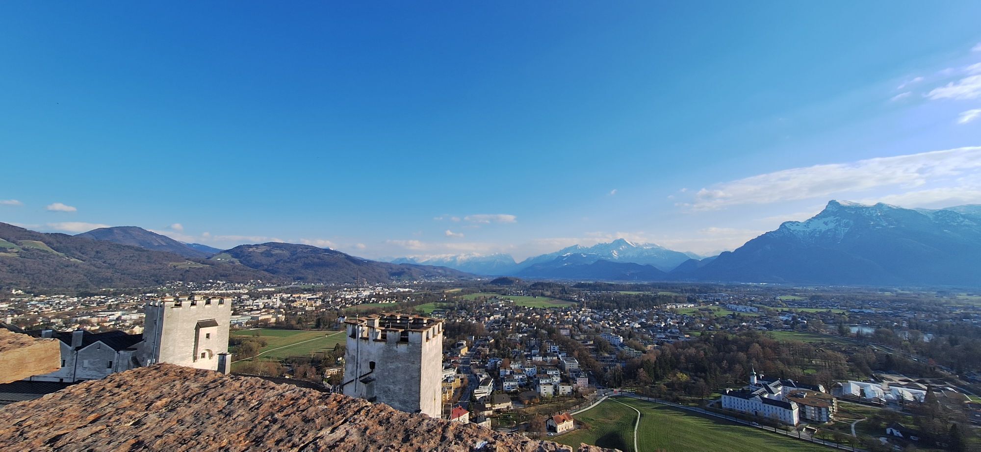
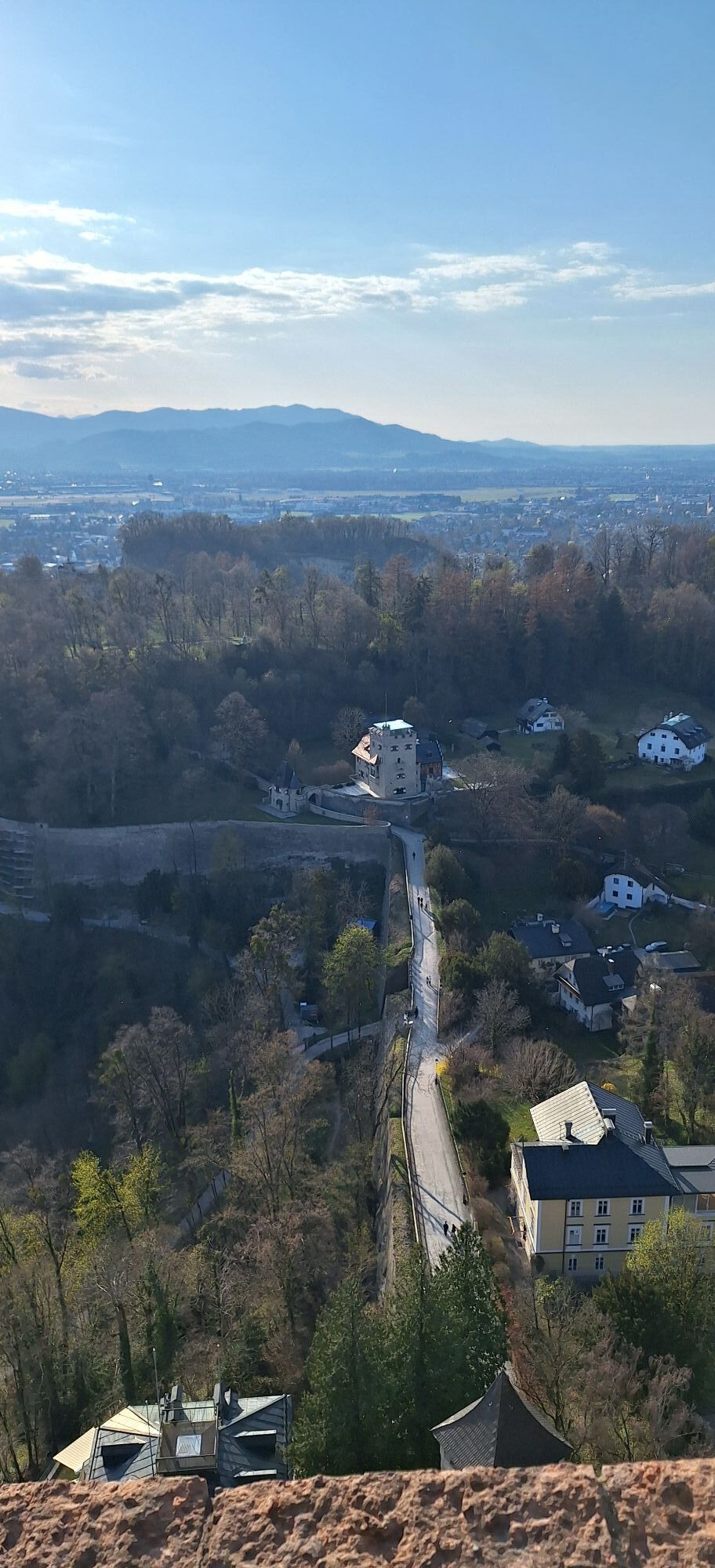
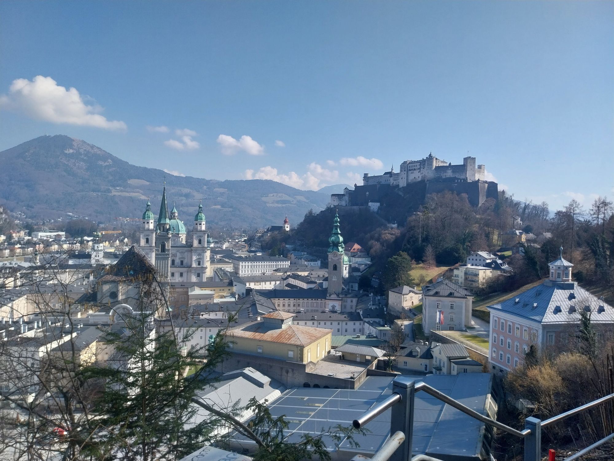
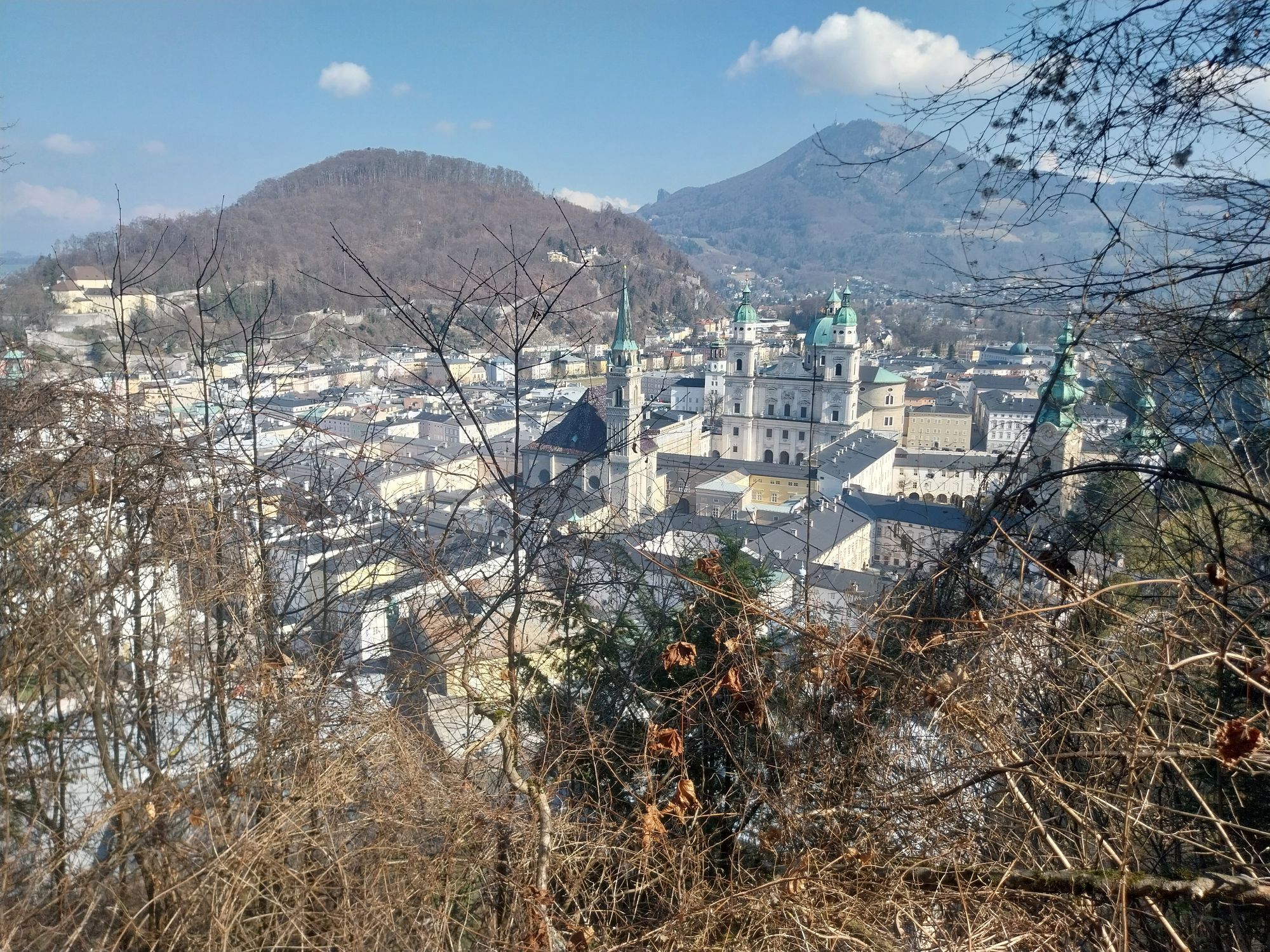
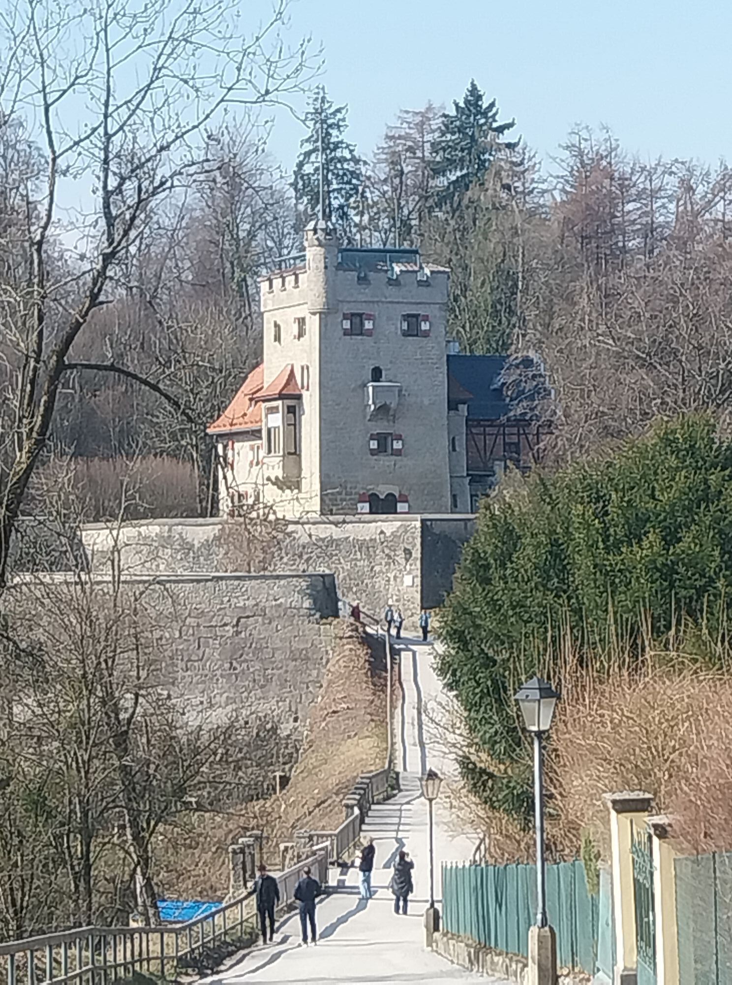
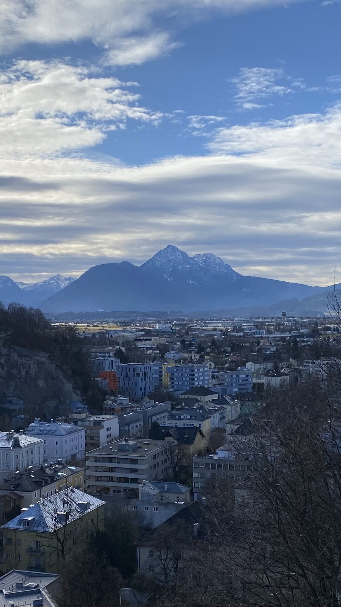
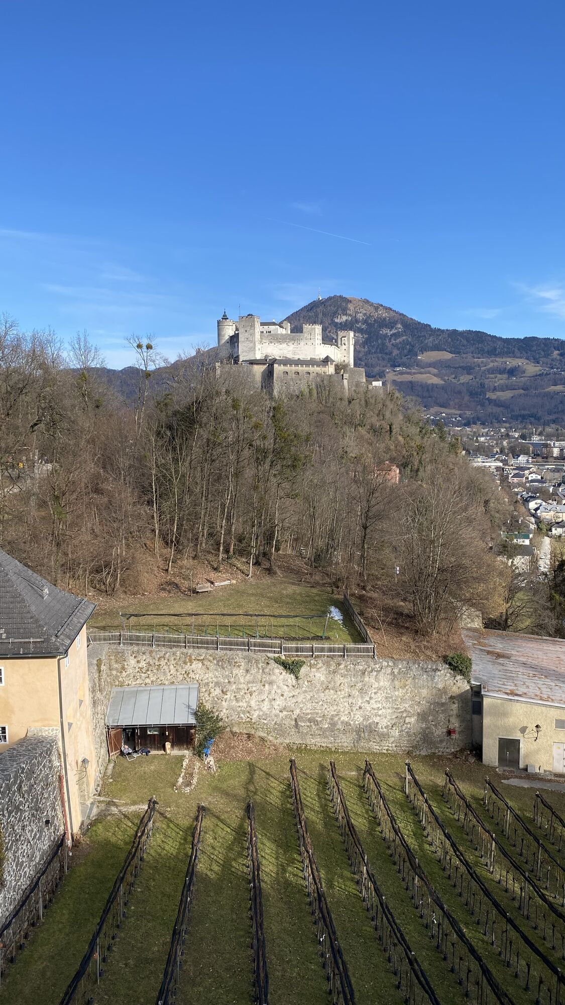
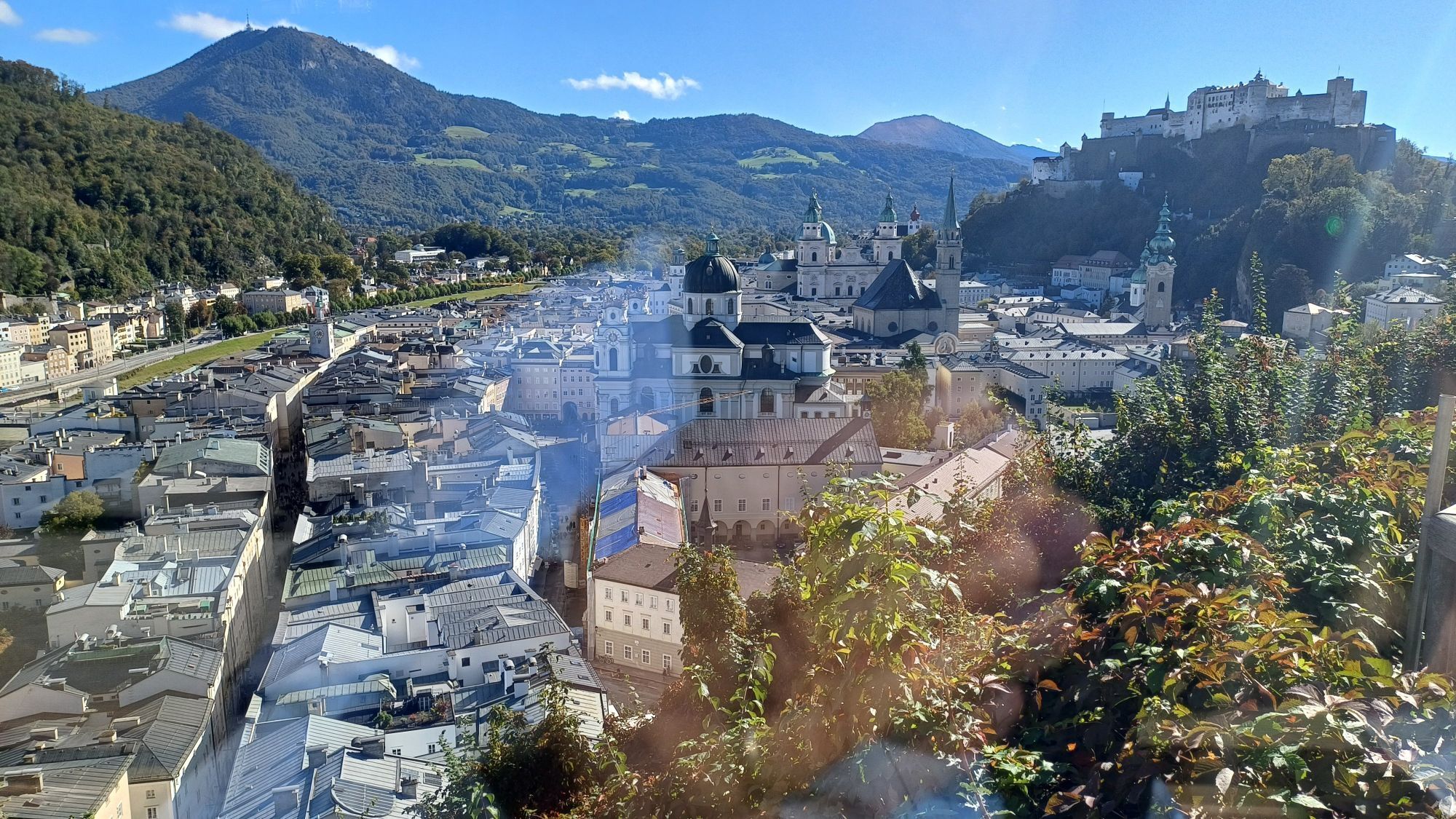
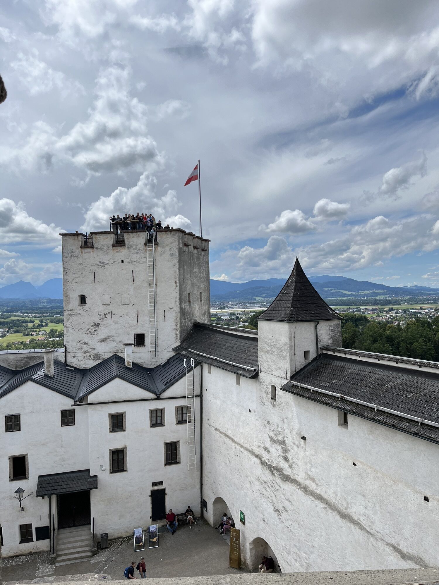
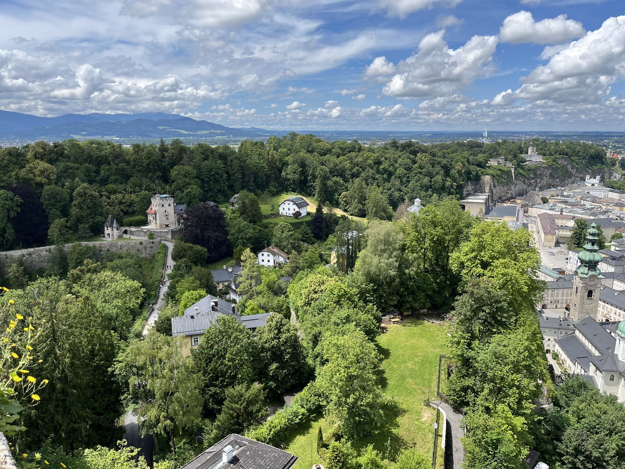
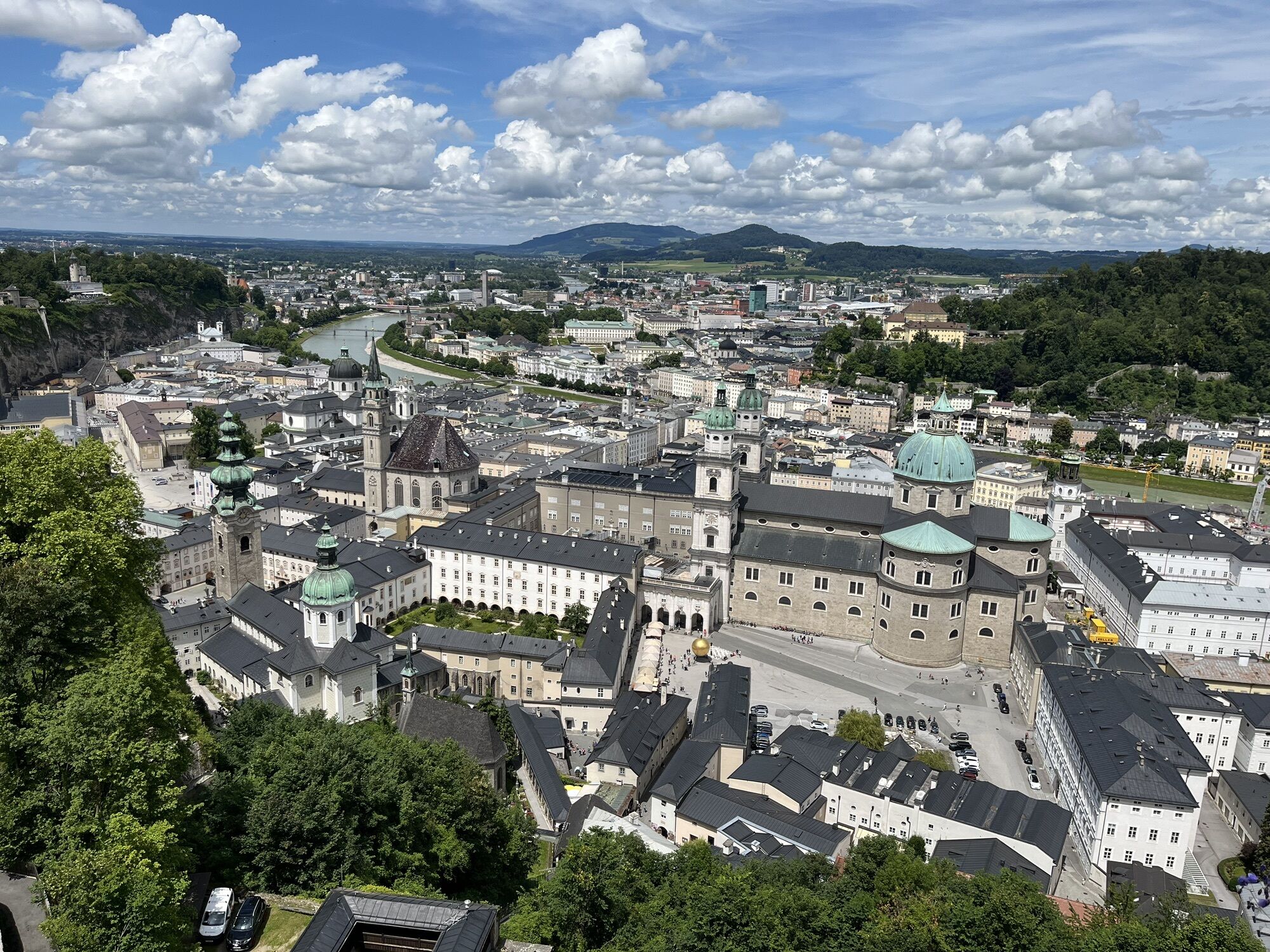
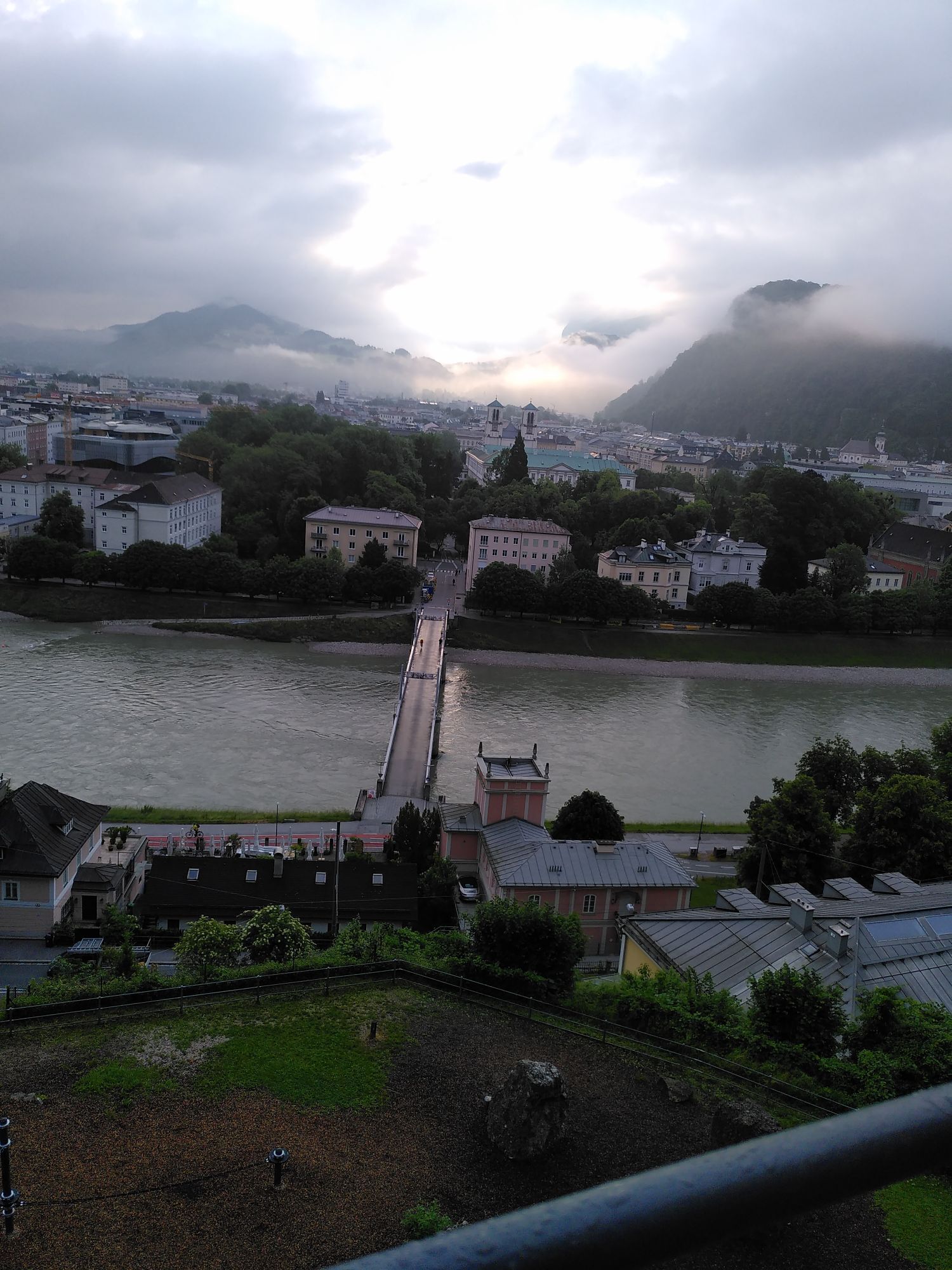
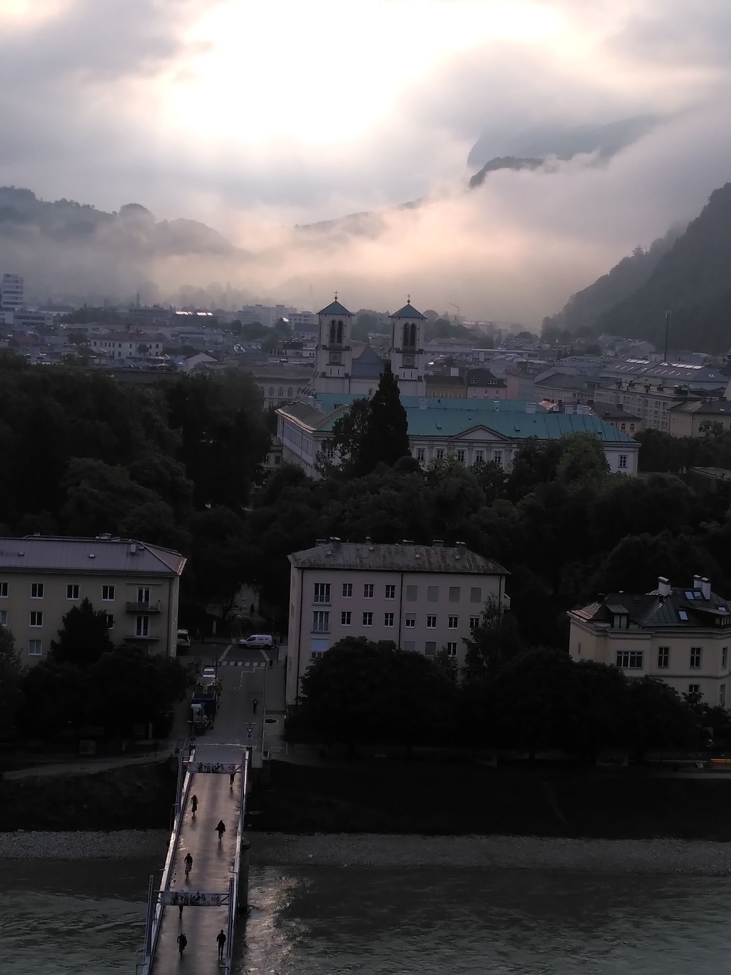
Simple and beautiful walk on the Mönchsberg in Salzburg. Along the way, there are wonderful views over the city of Salzburg and the surrounding area. The path partly leads through the forest, and there...
Simple and beautiful walk on the Mönchsberg in Salzburg. Along the way, there are wonderful views over the city of Salzburg and the surrounding area. The path partly leads through the forest, and there are some panoramic paths. A visit to the Museum of Modern Art located on the Mönchsberg is recommended, and several restaurants and cafés invite you to eat and drink. Alternatively, there are several ways back into the city, or you can take the Mönchsberg elevator located at the Museum of Modern Art.

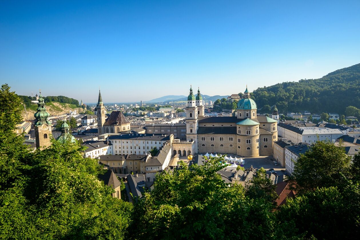
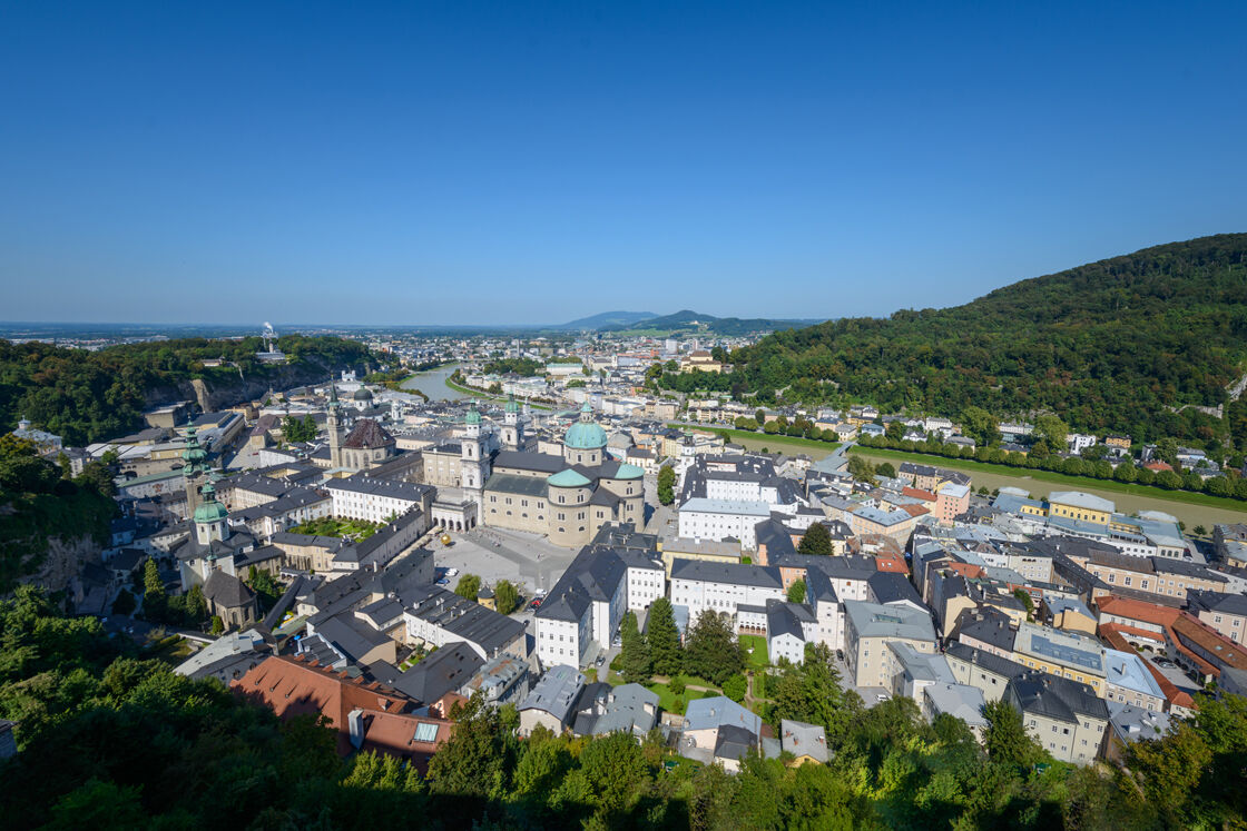
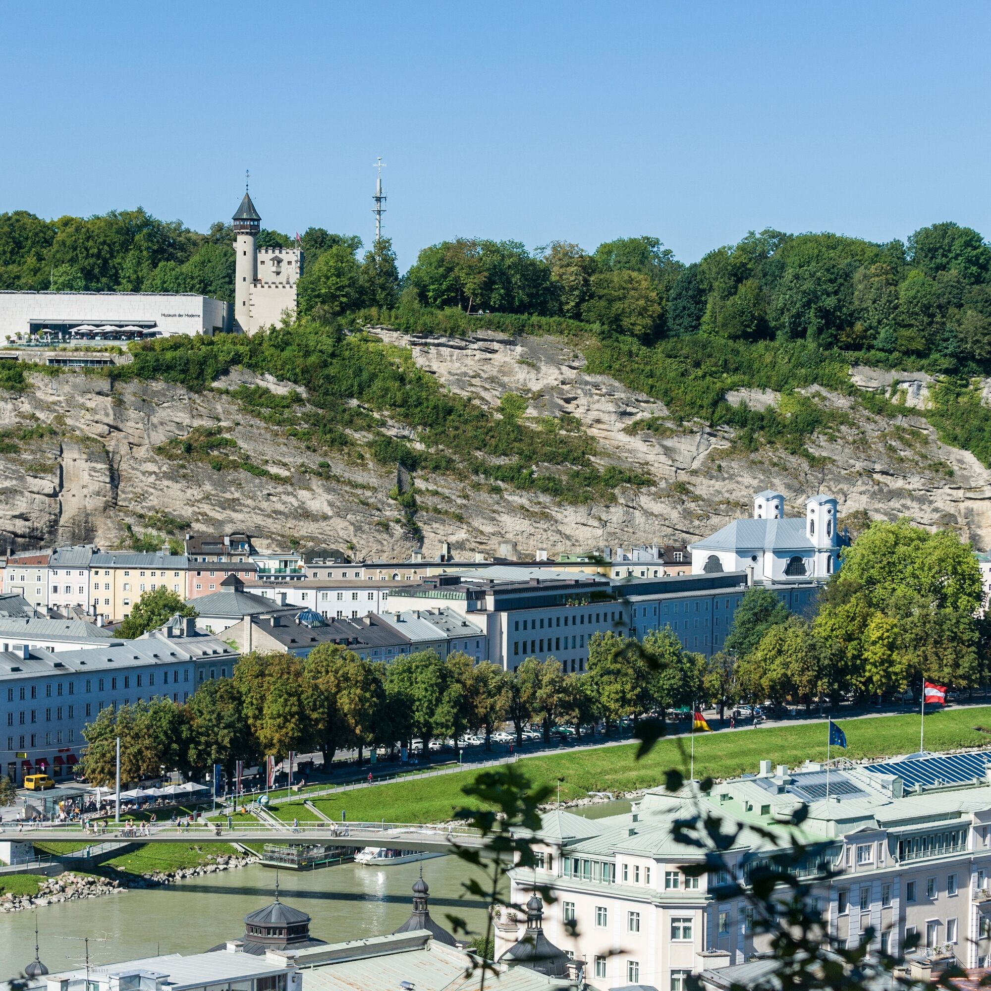

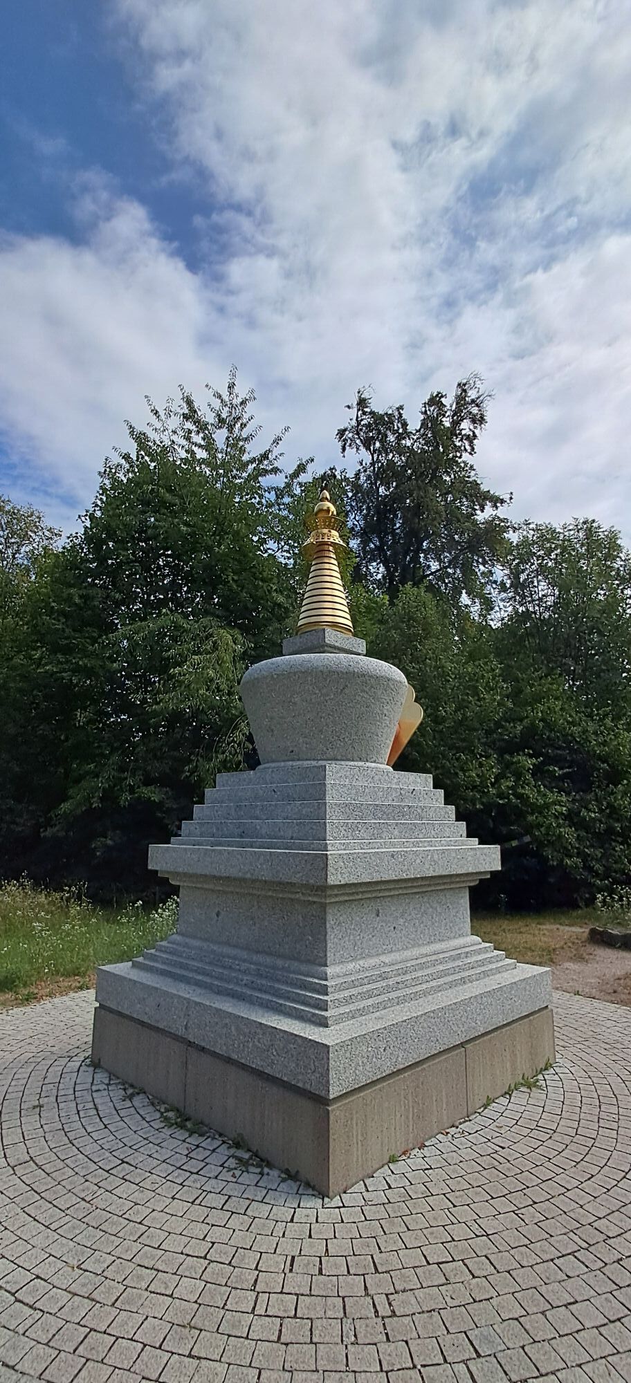
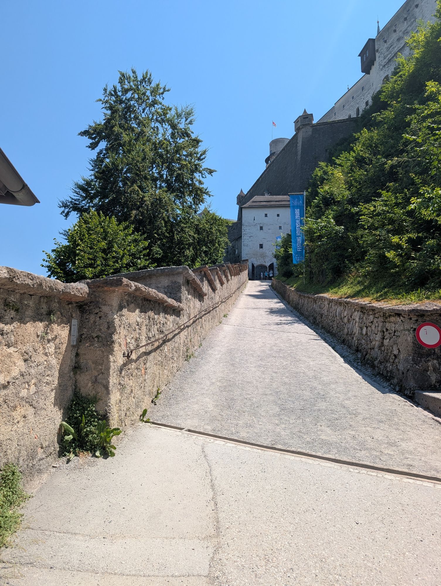
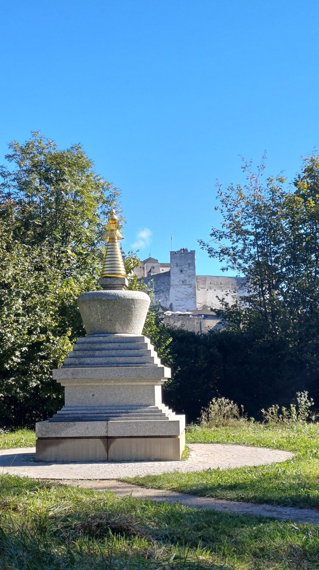
The walk begins in Mülln (Müllner Bräu car park) and leads up the Mönchsberg behind the Müllner Church. After about 300 m, the first turn leads to the left – past the climbing garden and through shady paths until you approach the Museum of Modern Art. Again and again, there are worthwhile views of the city of Salzburg. At the next junction (after approx. 500 m), follow the signs towards Hohensalzburg Fortress. Don't forget to make a photo stop at the Buddhist stupa. After another 300 m, you will already see the medieval castle in front of you. Now you can decide whether to return to the car park through the city (e.g., via St. Peter's Cemetery, past the festival houses) or continue exploring the green Mönchsberg. Of course, it is also worth taking the short but steep climb to Hohensalzburg Fortress.
Further over the Mönchsberg, you first have to walk back part of the way (about 400 m) and then turn left towards the sculpture park. Here you will find the small but exquisite Water Museum of the city of Salzburg. From here, follow the path about 700 m and then turn left onto the panoramic path. Follow this until you reach the Palatine Monastery Church, there keep right. Follow the road about 500 m, then it leads back into the original path towards the Mülln car park.
Tak
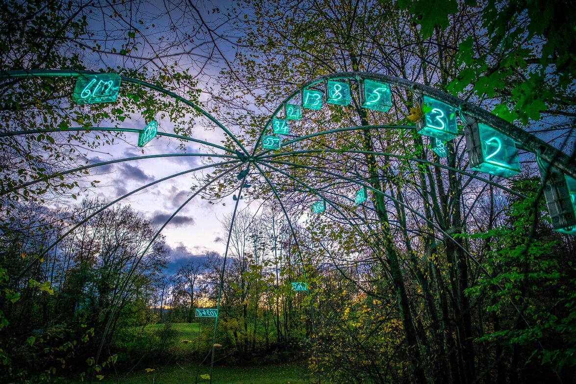
If you look more closely, you will find some "hidden" treasures, such as various art projects by the "Salzburg Foundation" or the Buddhist stupa with a magnificent view of Hohensalzburg Fortress
 Uzyskaj wgląd Zawsze na żywo z ponad 9 500 kamer internetowych. bergfex Jako użytkownik Pro, możesz teraz zobaczyć odpowiednie kamery internetowe dla wielu wycieczek w aplikacji wycieczki od. Pozwala to na bezpośredni podgląd aktualnych warunków.
 Popularne wycieczki w okolicy
- 4,0
Bärenweg am Lidaun
światłoWędrówka 9,05 km - 4,1
Durch die Almbachklamm nach Ettenberg
Wędrówka 7,54 km - 4,2
Untersberg, Toni-Lenz-Hütte
Wędrówka 4,86 km - 4,8
Great and Small Barmstein, the landmarks of Hallein
ciężkiWędrówka 6,58 km - 4,4
From Koppl to the Gaisberg summit
średniWędrówka 9,86 km - 4,4
Hike to the Kleiner Barmstein via the Thürndl ruin
średniWędrówka 4,20 km - 4,8
Untersberg (Salzburger Hochthron)
średniWędrówka 11,8 km - 4,3
Panoramic circular route Kaiserbuche
światłoWędrówka 4,93 km - 4,8
Reitsteig - Dopplersteig Runde_Untersberg
średniWycieczka wysokogórska 9,89 km - 4,7
Almbachklamm zum Gasthof Dürrlehen
średniWędrówka 8,94 km
Wędrówki i tropienie


Nie przegap ofert i inspiracji na następne wakacje
Twój adres e-mail została dodana do listy mailingowej.





