


From Koppl to the Gaisberg summit
Poziom trudności: T1
Zdjęcia naszych użytkowników

 © Meinrad FögerUtworzono dnia 02.03.2026
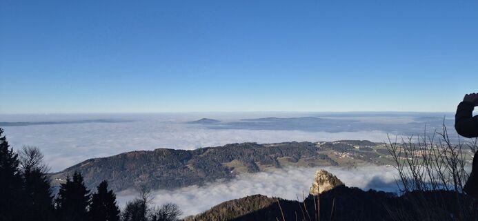 © Beate1980Utworzono dnia 28.12.2025
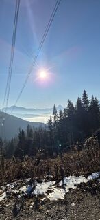 © Beate1980Utworzono dnia 28.12.2025
 © Heinz SperlUtworzono dnia 01.11.2025
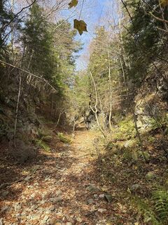 © Heinz SperlUtworzono dnia 01.11.2025
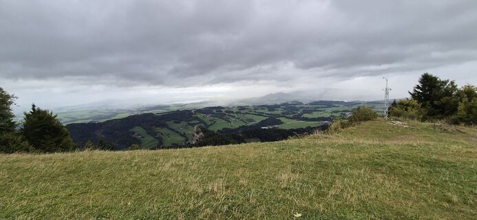 © Beate1980Utworzono dnia 05.10.2025
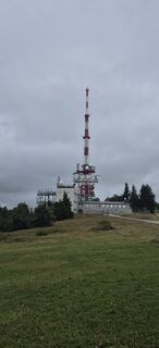 © Beate1980Utworzono dnia 05.10.2025
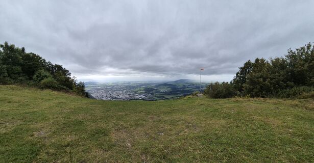 © Beate1980Utworzono dnia 05.10.2025
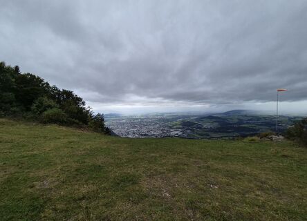 © Beate1980Utworzono dnia 05.10.2025
 © Beate1980Utworzono dnia 05.10.2025
 © Gerhard BuchböckUtworzono dnia 01.05.2025
 © Bettina ConneusUtworzono dnia 19.03.2025
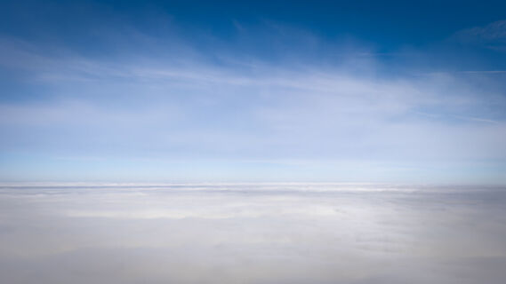
 © KurtUtworzono dnia 02.02.2025
 © Heinz SperlUtworzono dnia 09.11.2024
 © Heinz SperlUtworzono dnia 09.11.2024
 © Nina WolfUtworzono dnia 01.11.2024
 © Nina WolfUtworzono dnia 01.11.2024
 © Heinz SperlUtworzono dnia 13.10.2024
 © KurtUtworzono dnia 04.05.2024
 © Heinz SperlUtworzono dnia 23.10.2023
 © Heinz SperlUtworzono dnia 16.10.2025
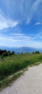
 © heli kremplerUtworzono dnia 18.06.2025
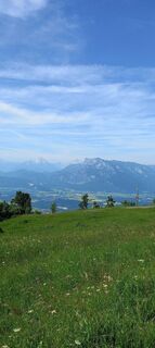 © heli kremplerUtworzono dnia 18.06.2025
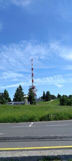 © heli kremplerUtworzono dnia 18.06.2025
 © Heinz SperlUtworzono dnia 29.04.2025
 © Heinz SperlUtworzono dnia 29.04.2025
 © Heinz SperlUtworzono dnia 08.10.2024
 © Heinz SperlUtworzono dnia 08.10.2024
 © Heinz SperlUtworzono dnia 08.10.2024
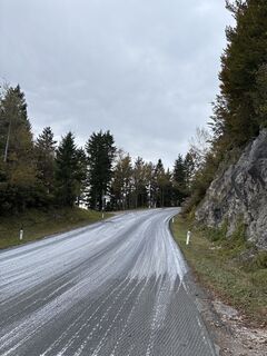 © Heinz SperlUtworzono dnia 08.10.2024
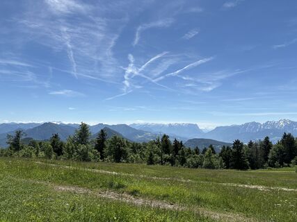 © Heinz SperlUtworzono dnia 18.06.2024
 © Heinz SperlUtworzono dnia 26.09.2023
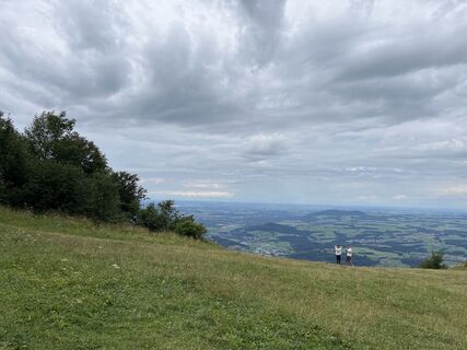 © Heinz SperlUtworzono dnia 29.07.2023
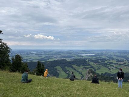 © Heinz SperlUtworzono dnia 29.07.2023
 © Heinz SperlUtworzono dnia 29.07.2023
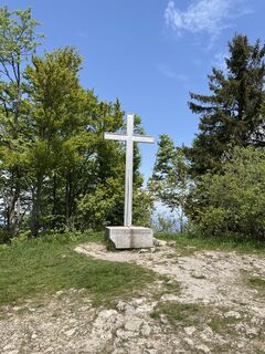 © Heinz SperlUtworzono dnia 30.05.2023
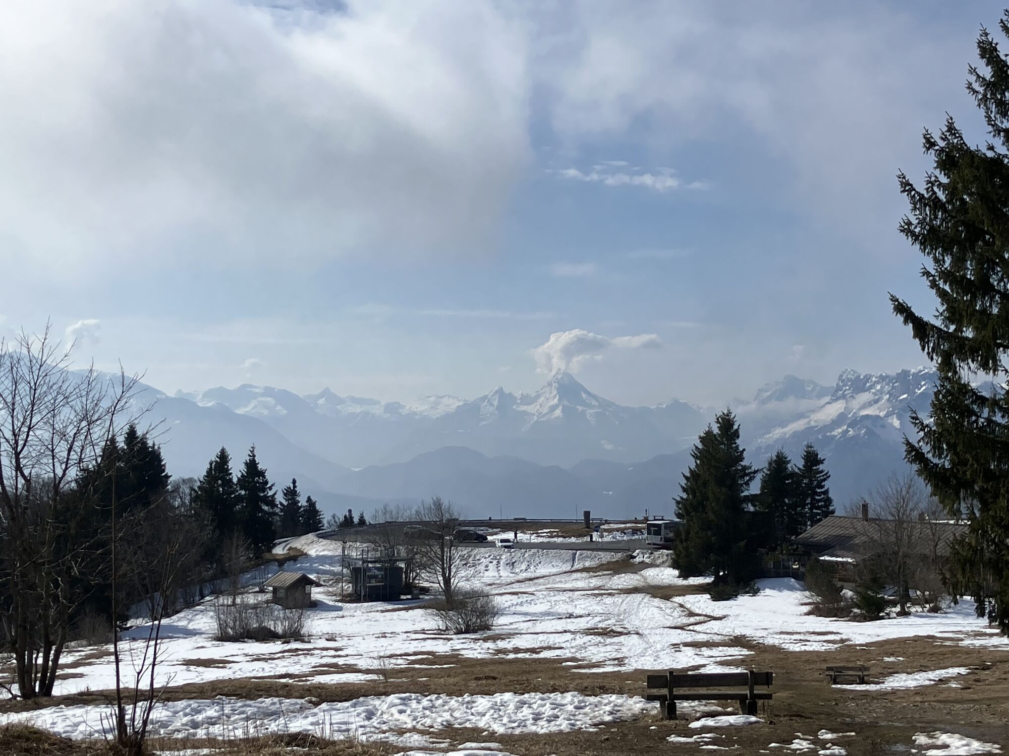

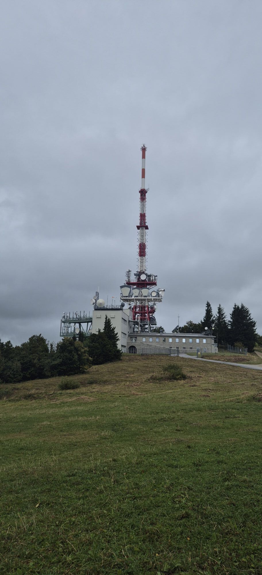


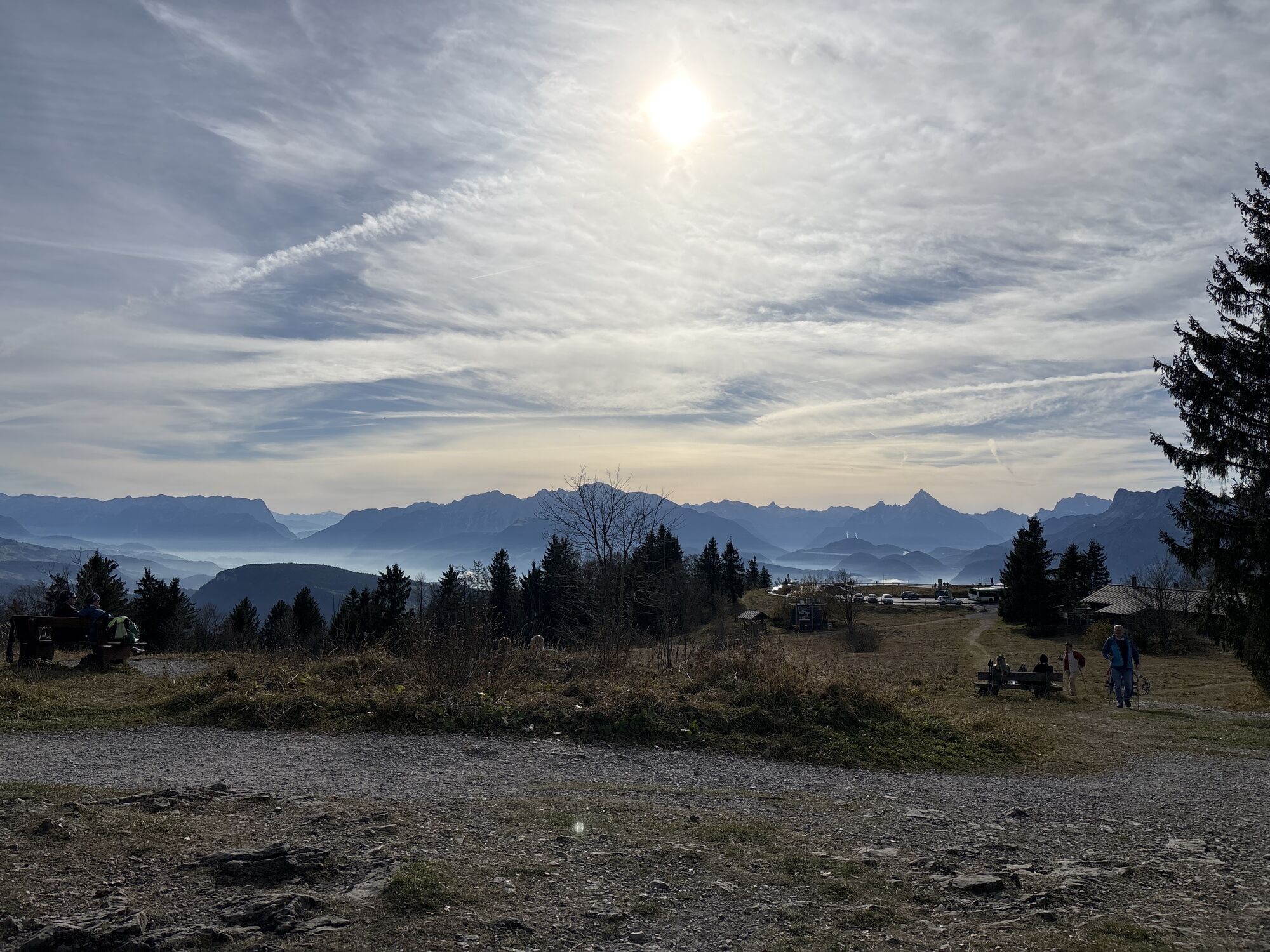
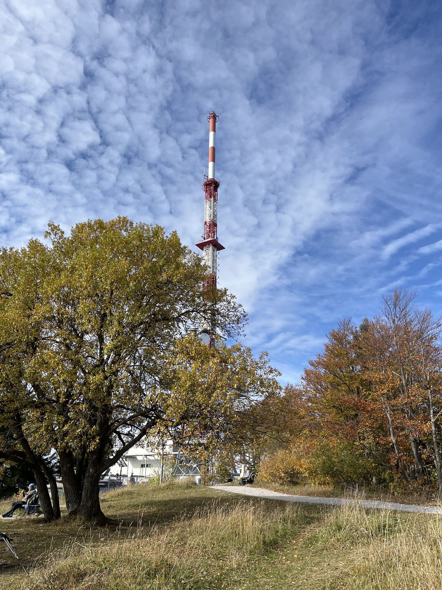

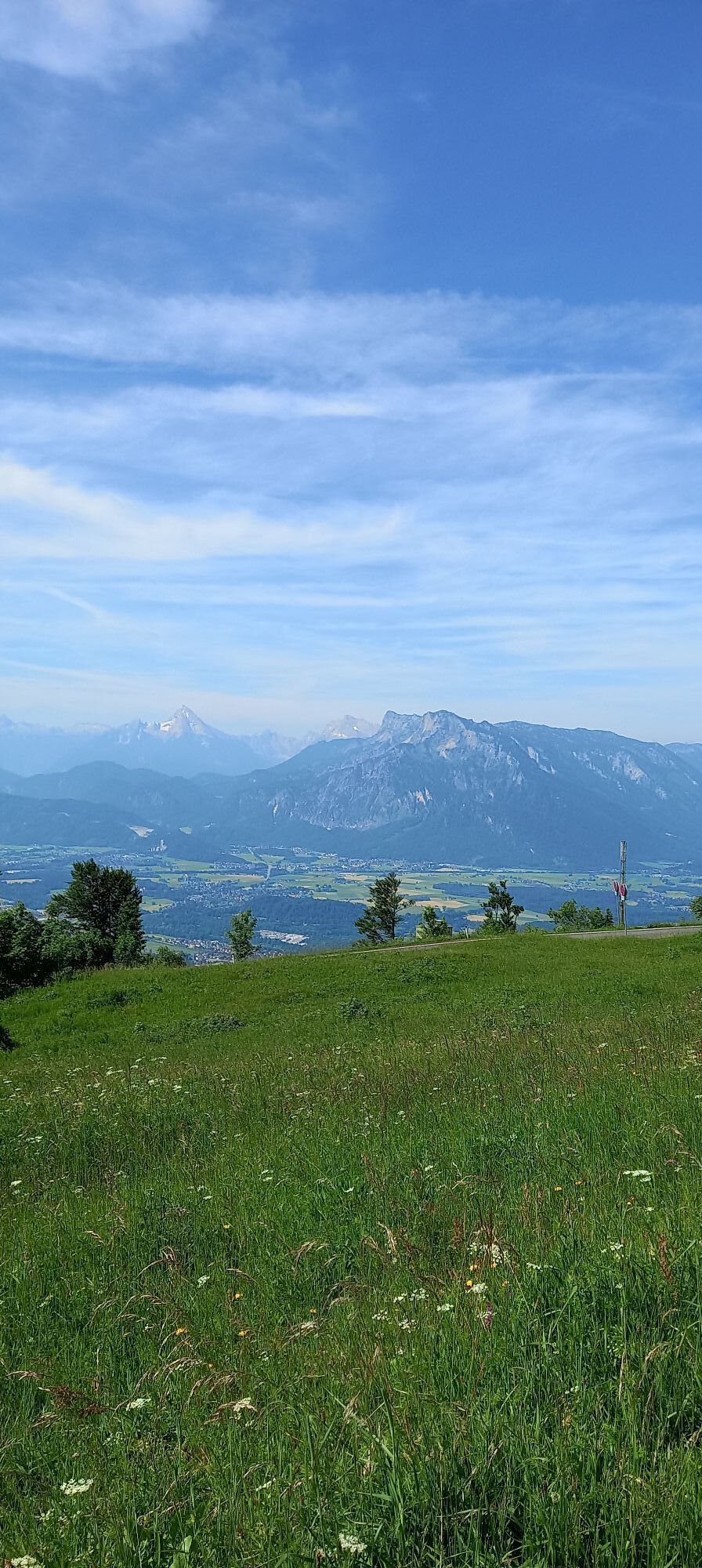
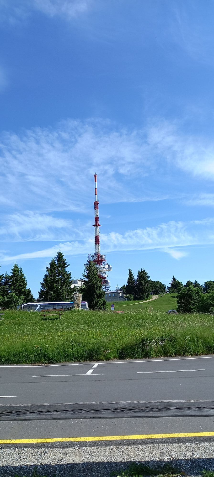
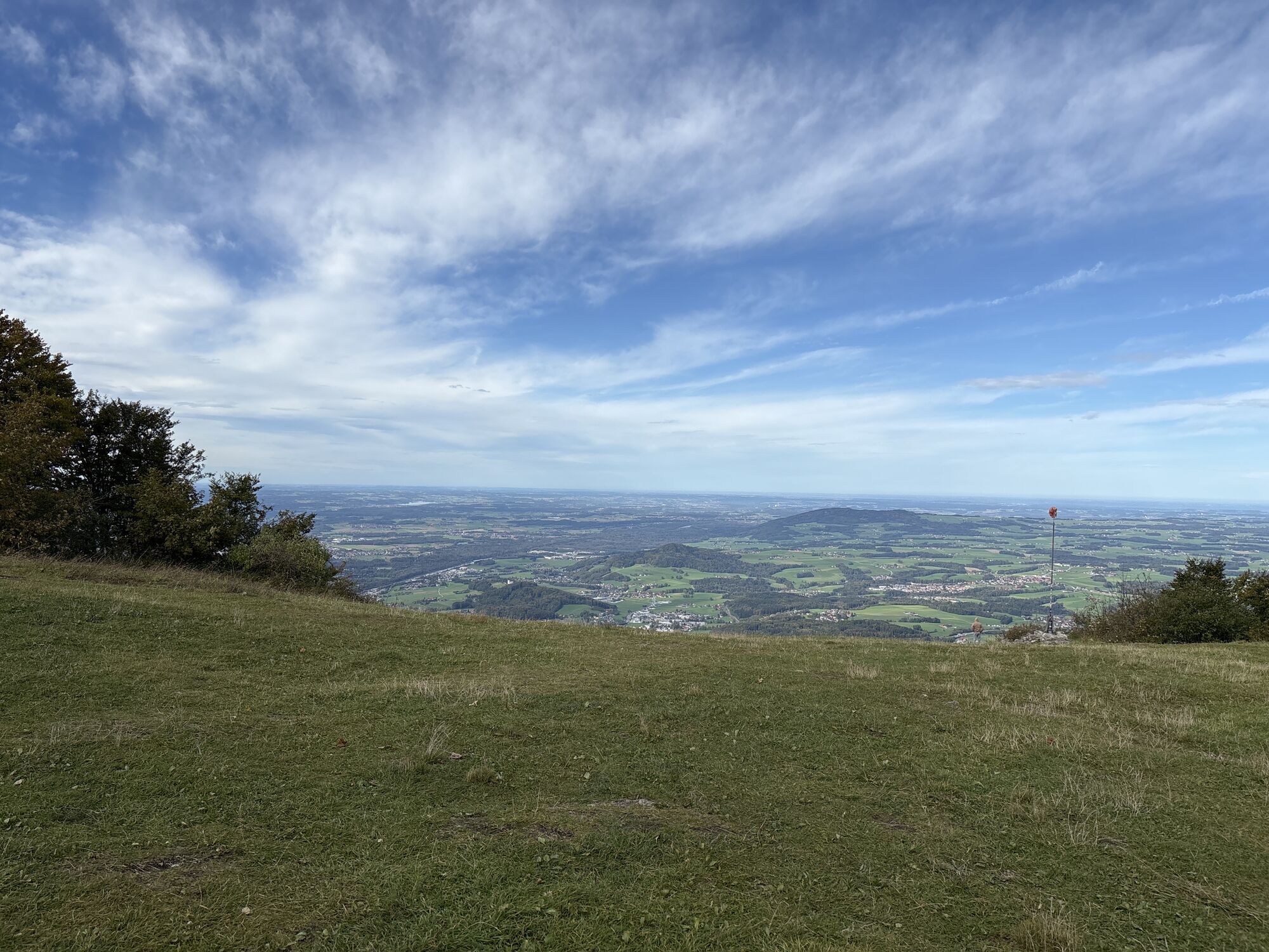
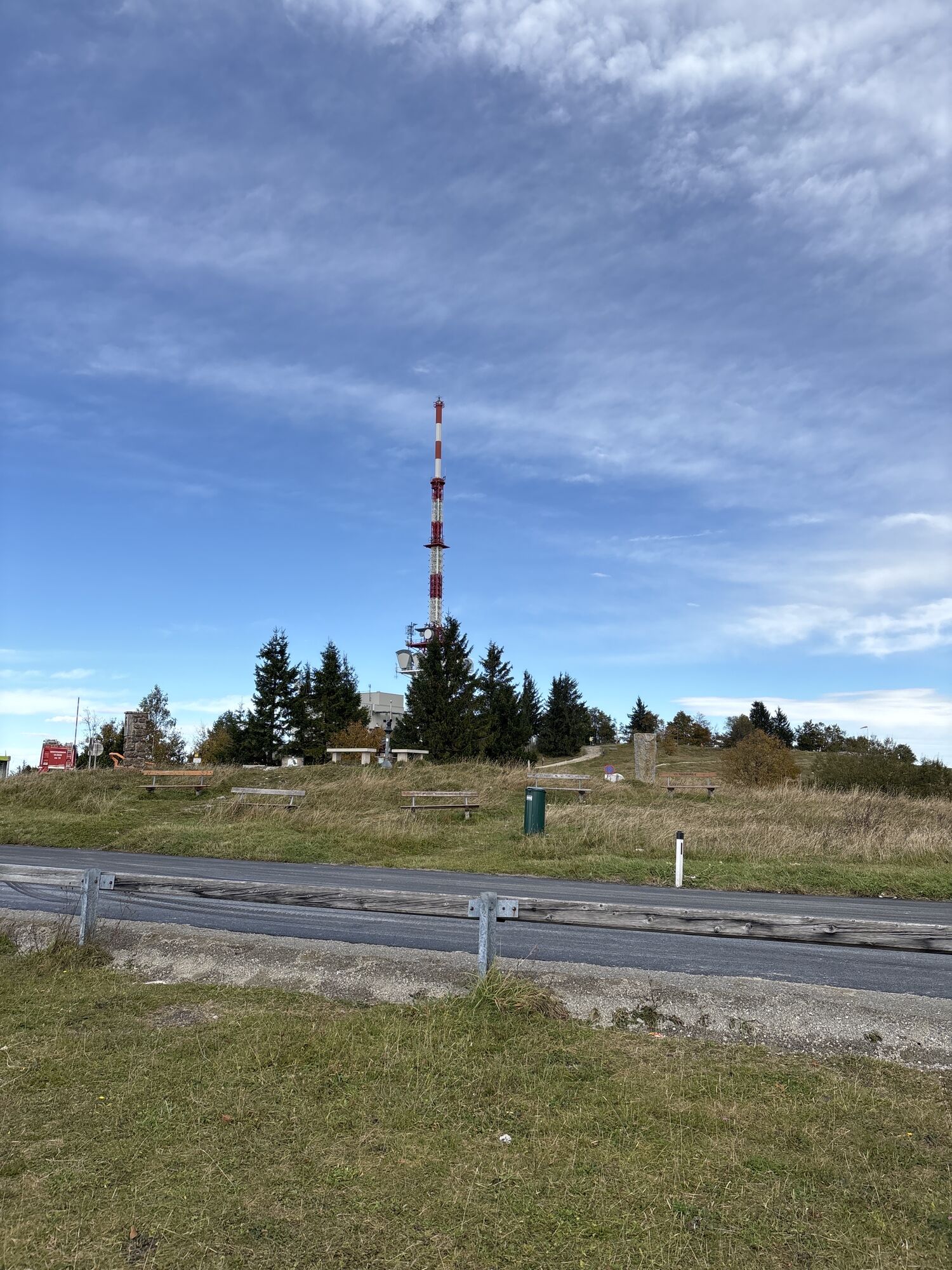
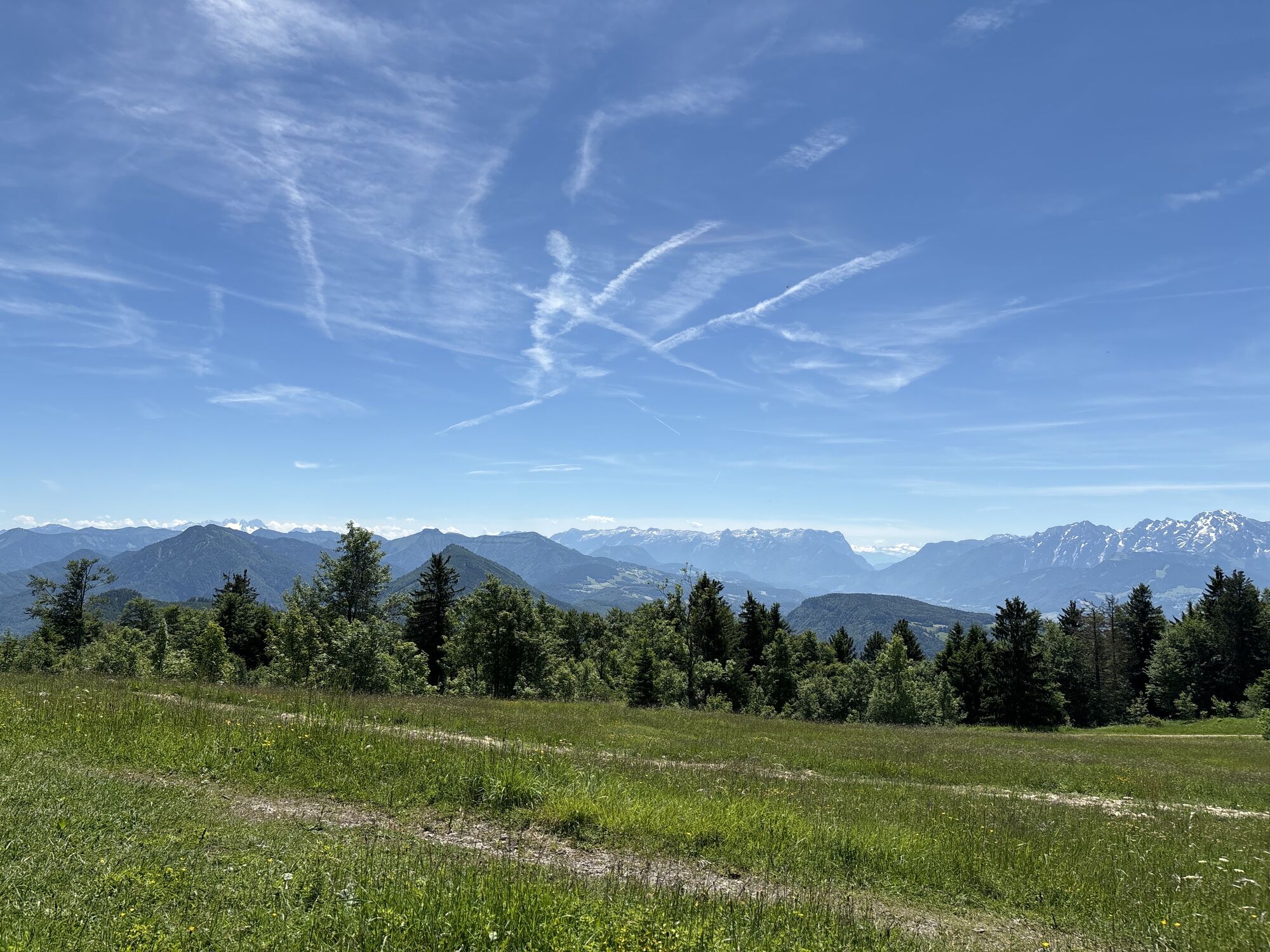
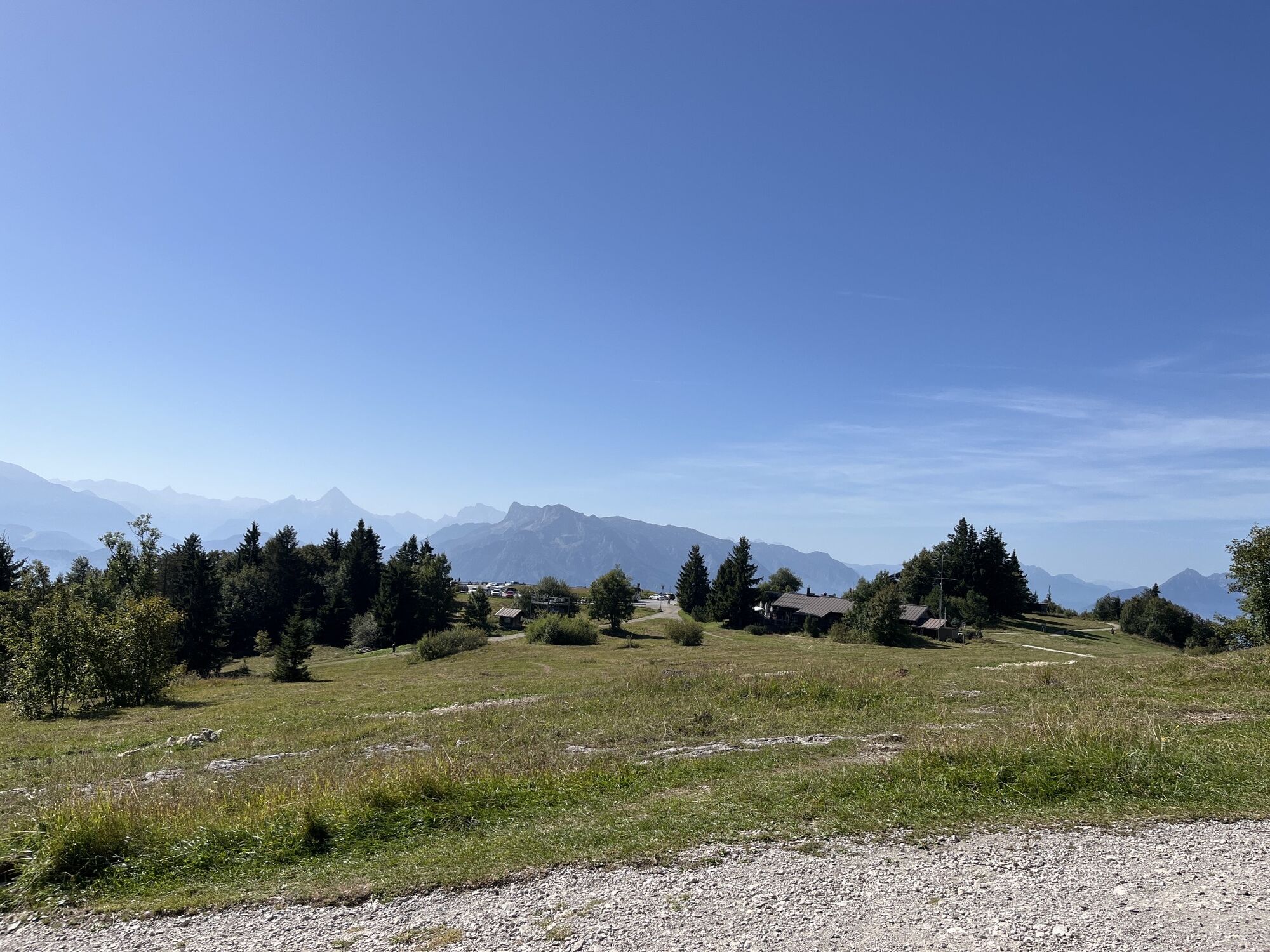


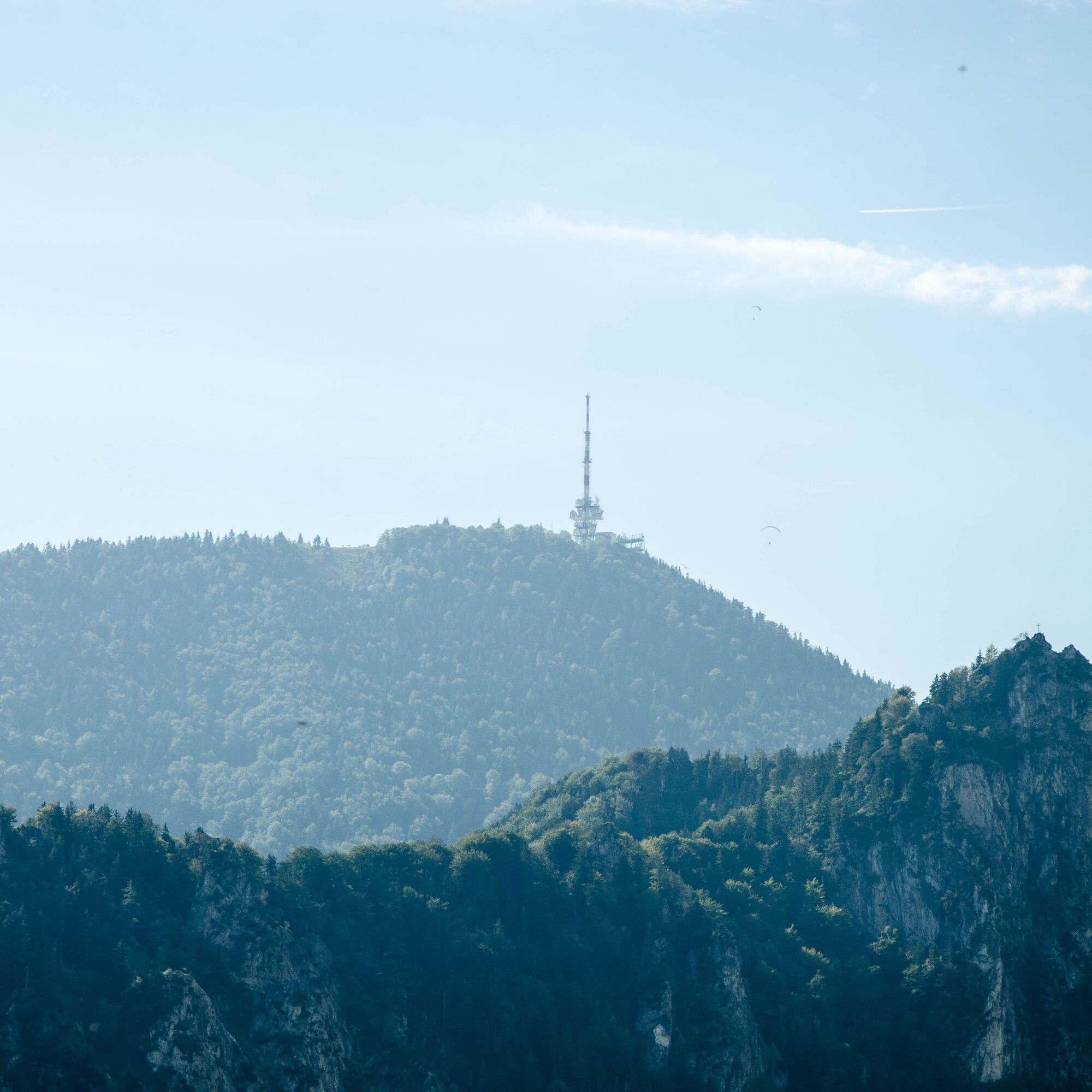
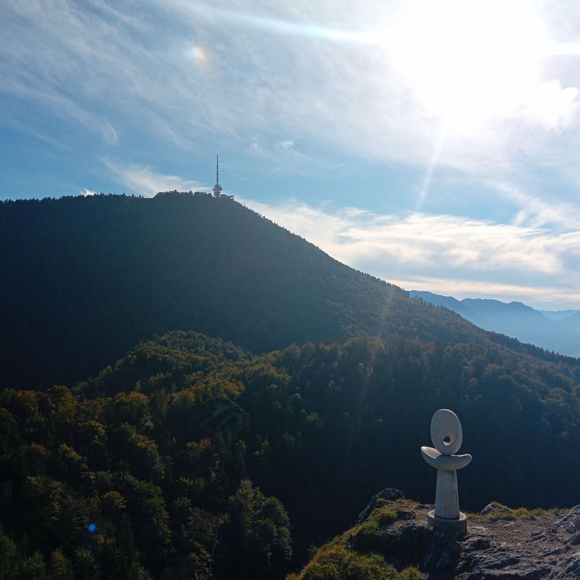
The Gaisberg summit with its distinctive transmission mast is one of the best-known excursion destinations in the Salzburg Flachgau region. At around 1,300 meters above sea level, the summit not only offers...
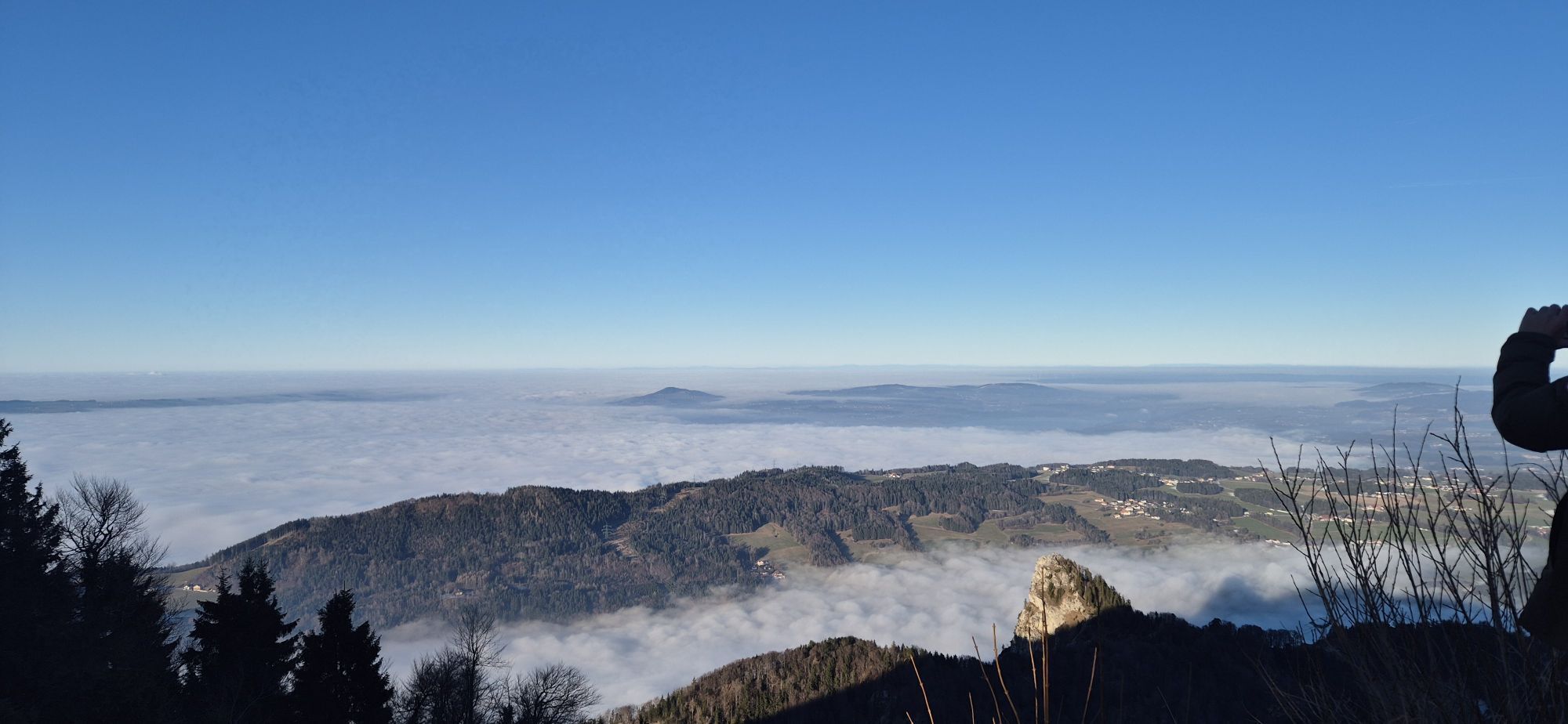
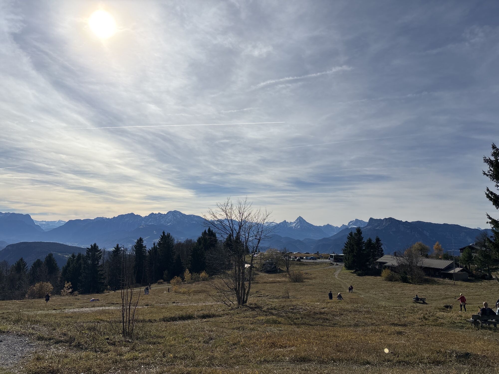
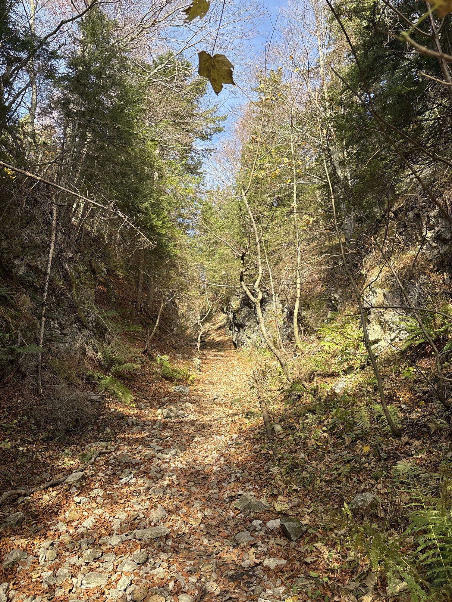
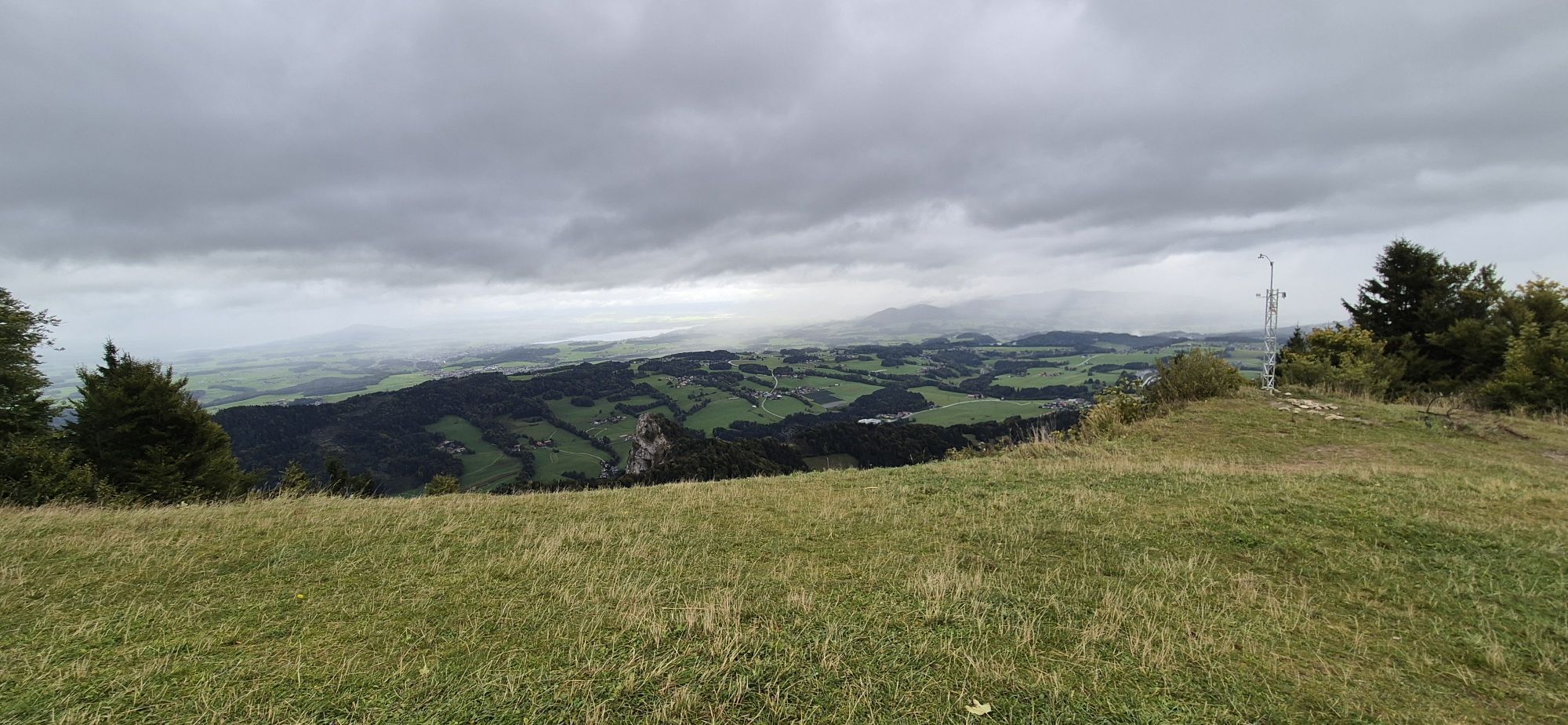
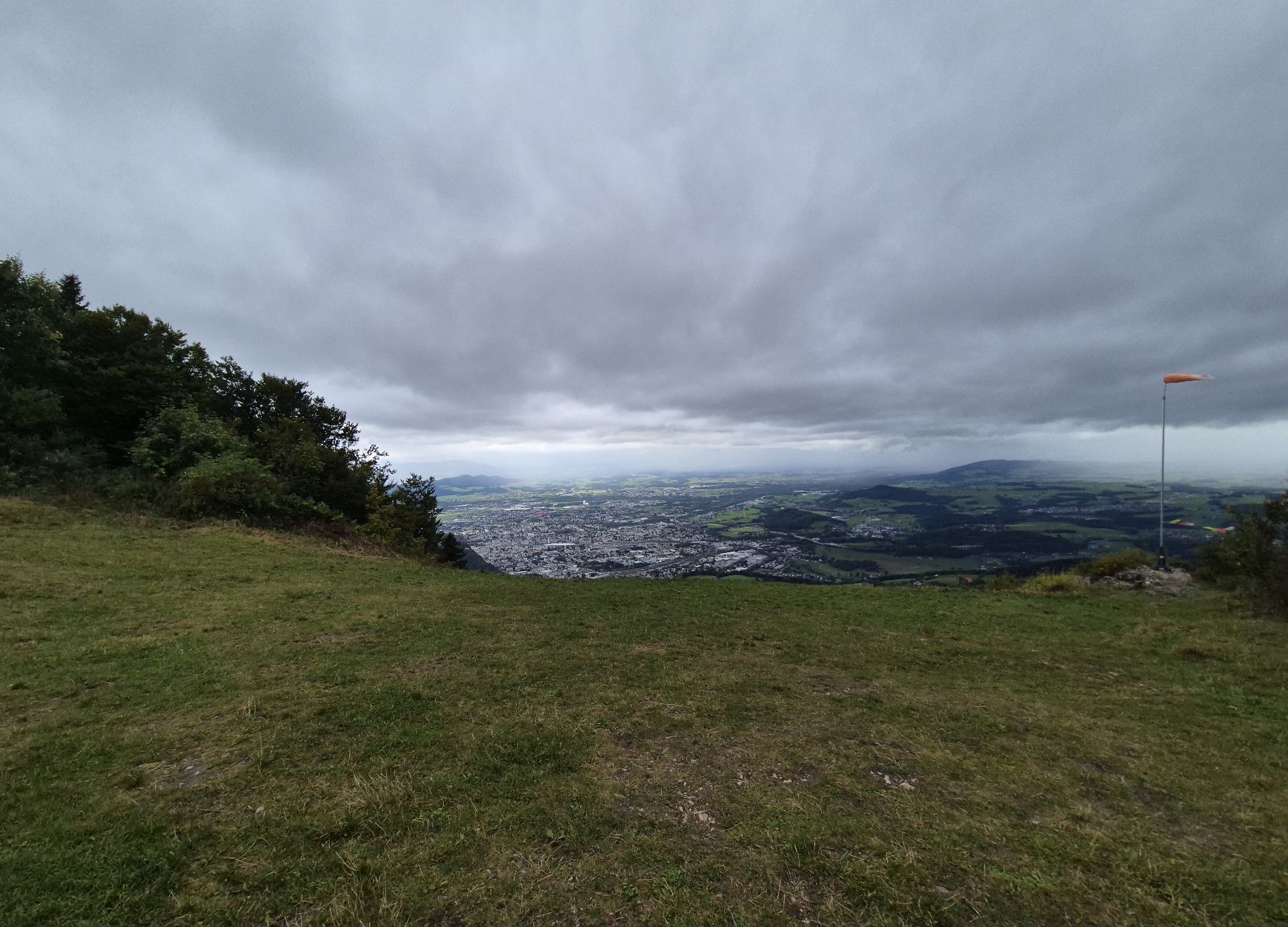
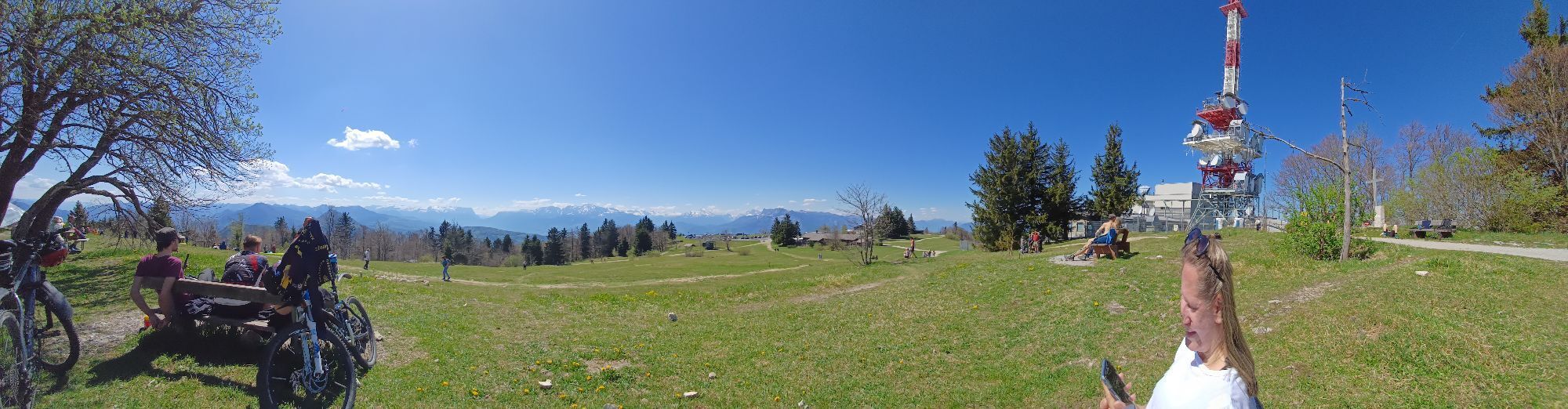
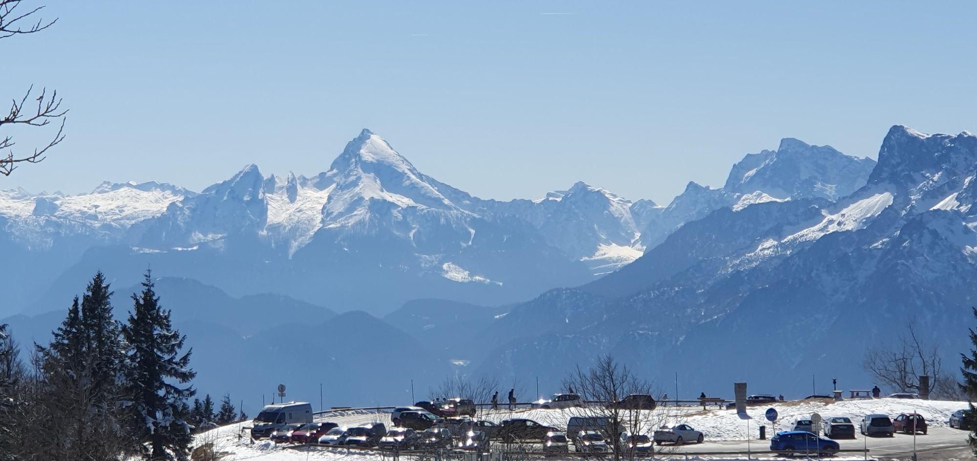
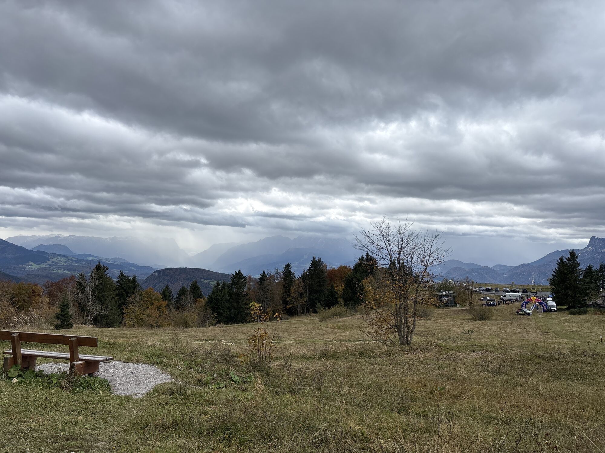
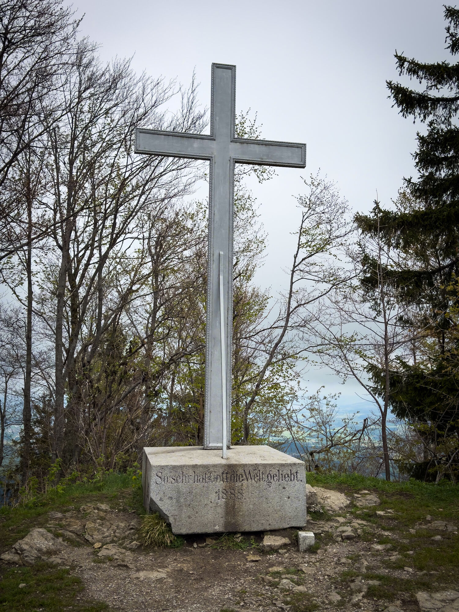
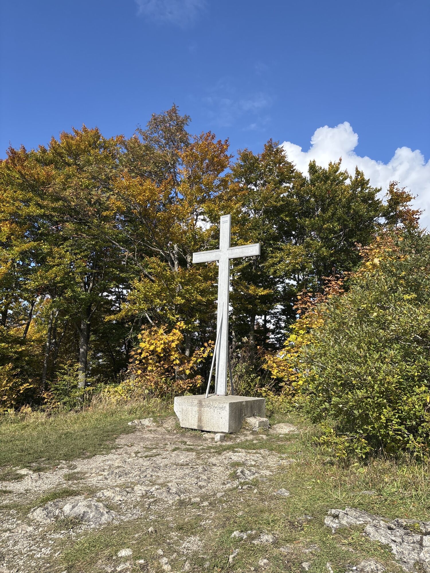
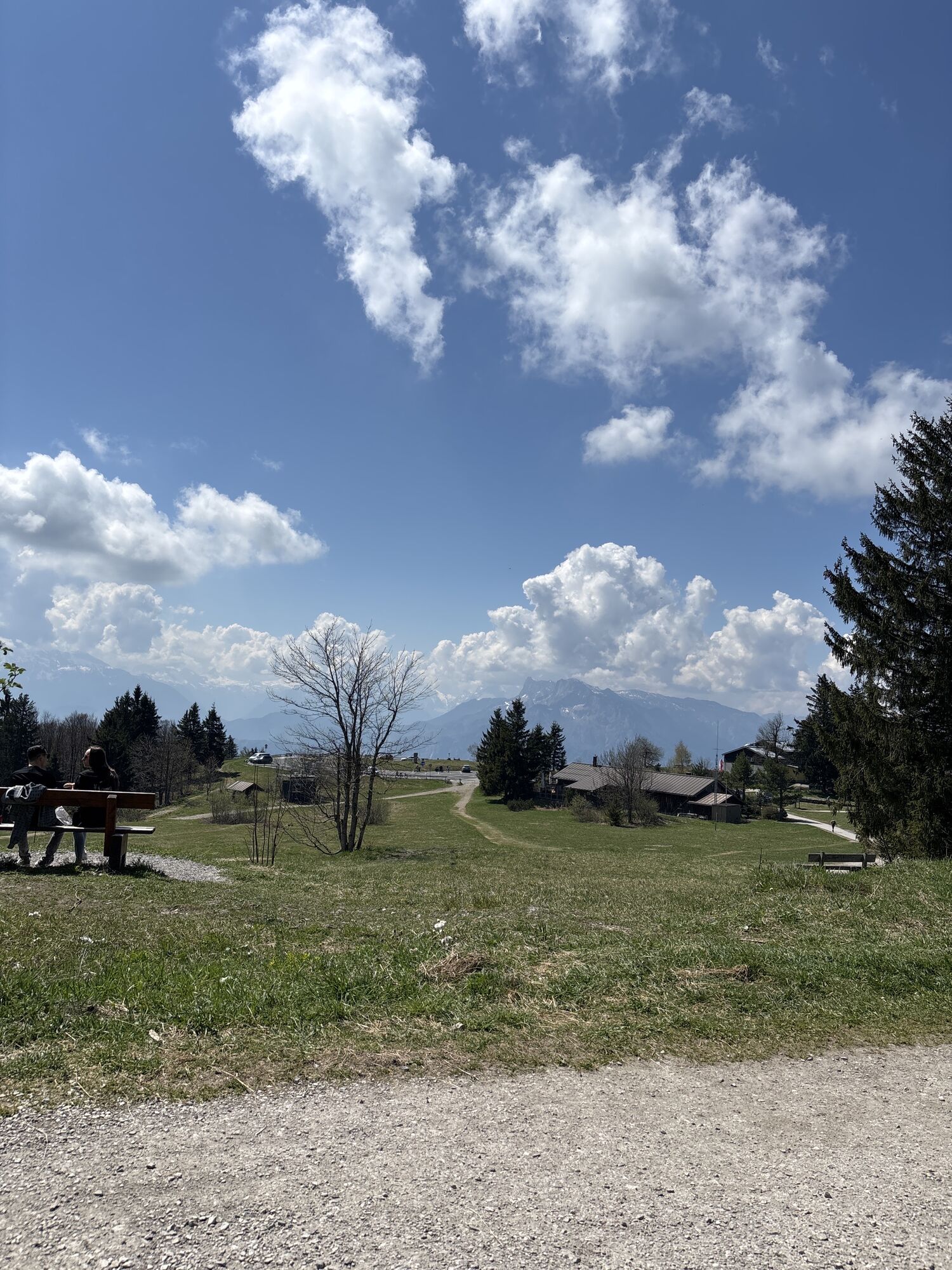
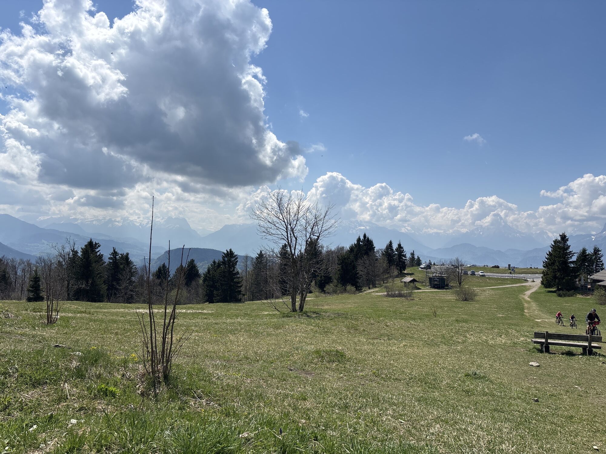
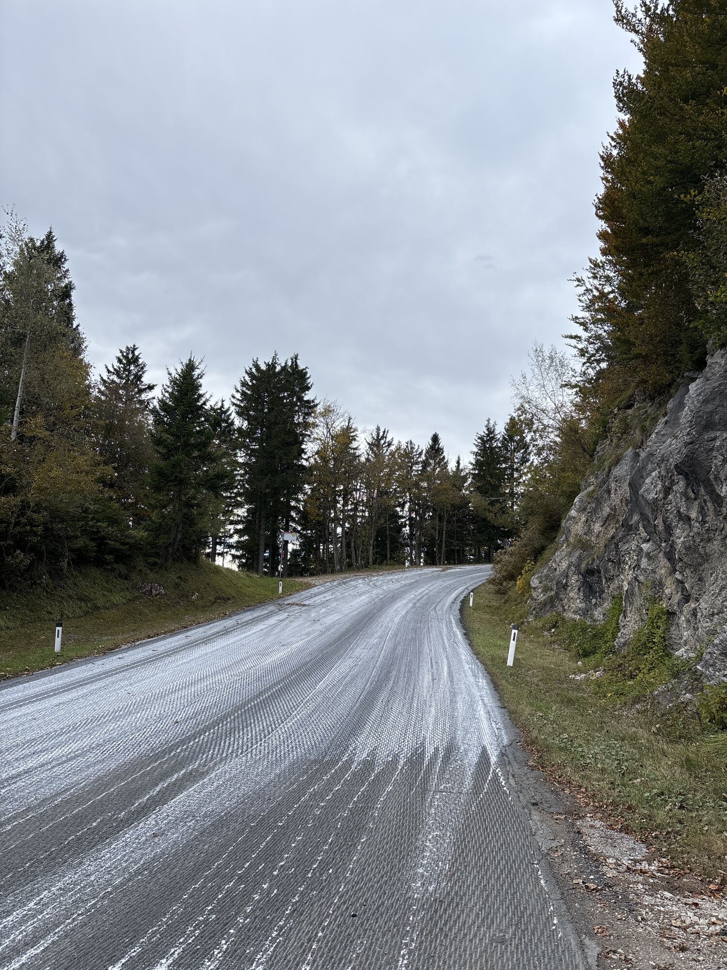
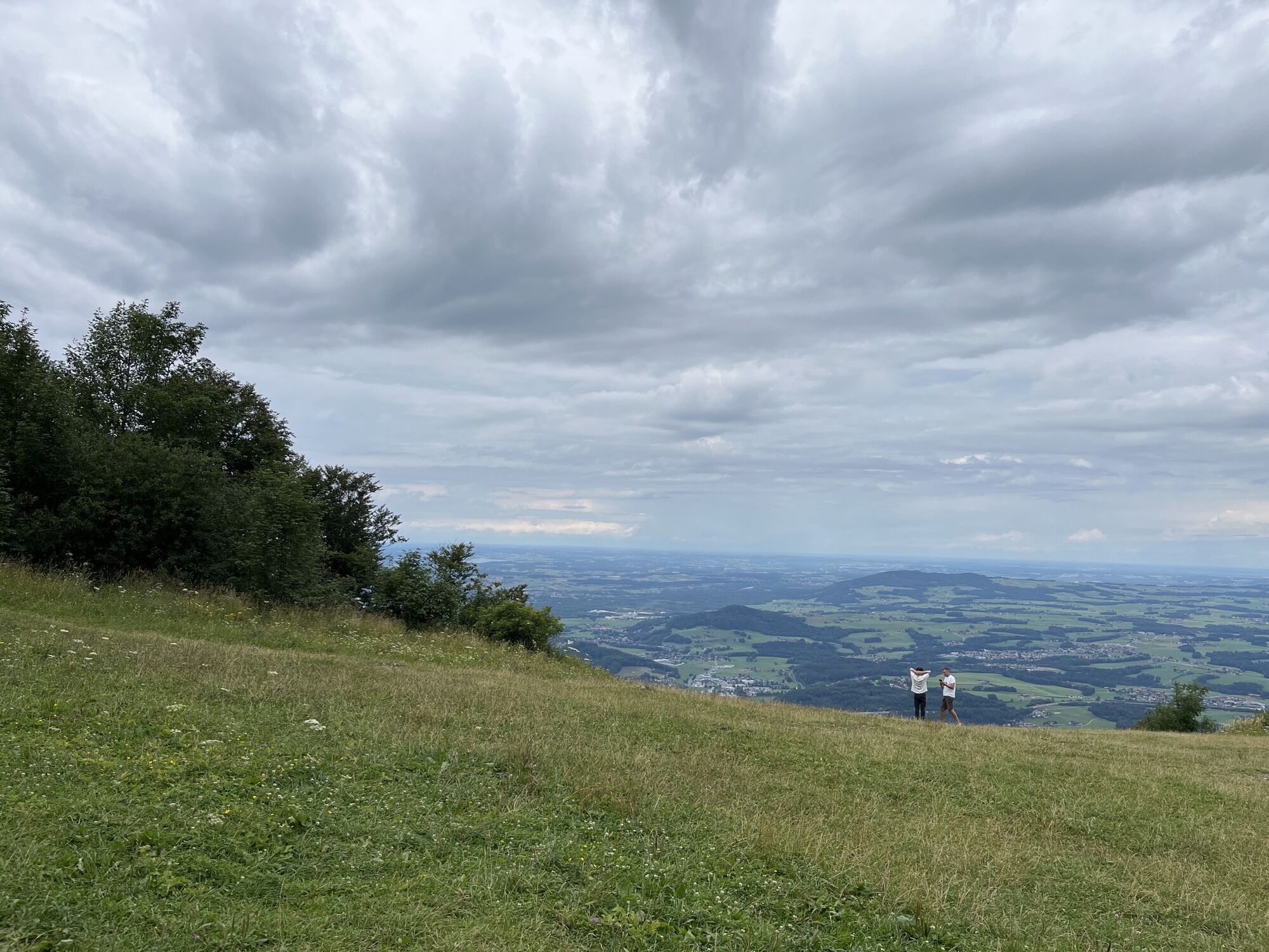
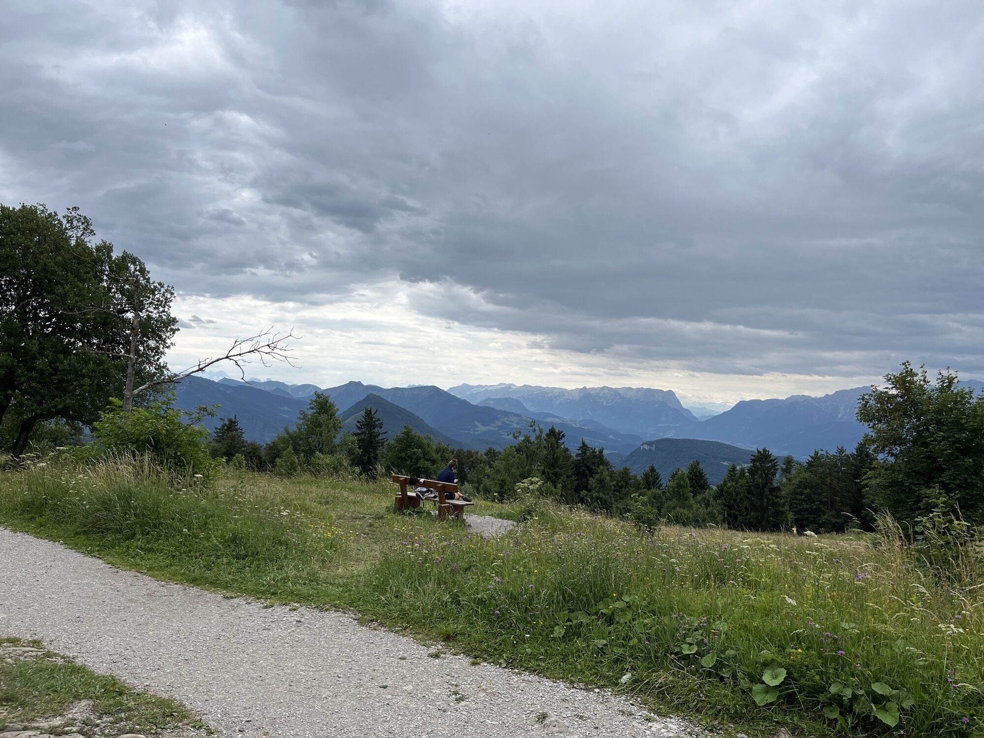
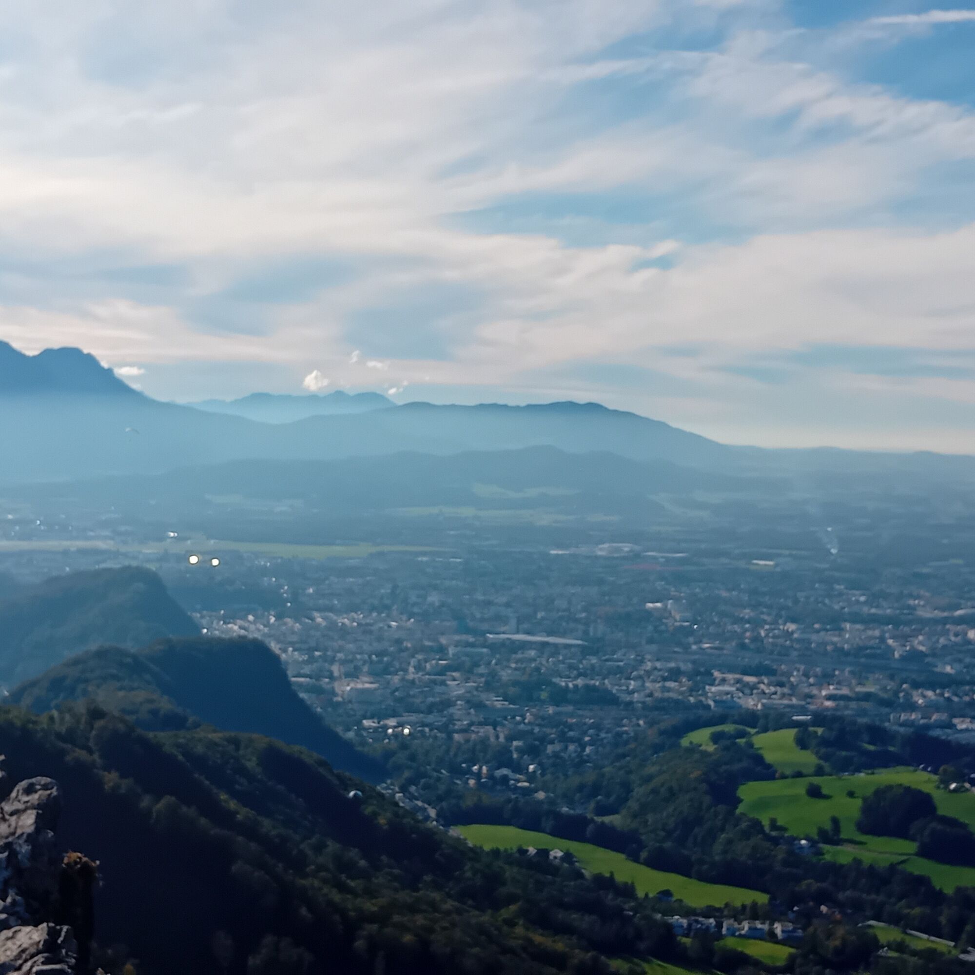
From Koppl, trail number 71 leads directly from the village center. After about 1.5 kilometers, the path branches off to the left and winds through the forest up to the east ridge. This section is somewhat steeper, but offers repeated beautiful views of the surroundings. At one point, the path crosses the Gaisberg circular trail and briefly touches the Gaisbergstraße before the final ascent to the summit begins. Once at the top, you will find an expansive plateau with panoramic views over Salzburg, the Flachgau, and the Alps beyond. The red and white transmission mast on the summit makes the Gaisberg a distinctive orientation point in the entire region.
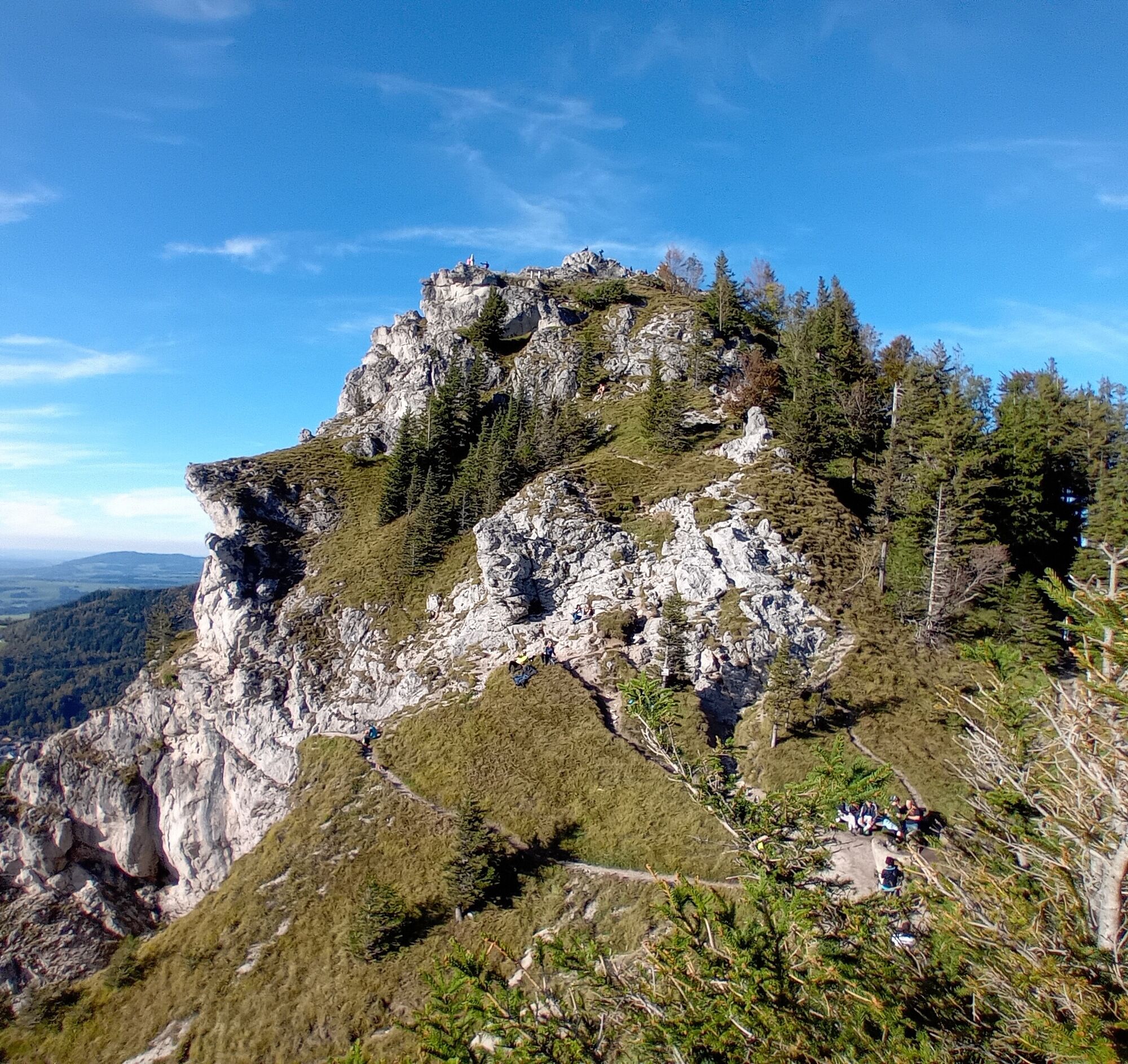
The return route leads either back to Koppl via the east ridge or via the Nockstein – a rocky but rewarding descent. Alternatively, you can cross the Gaisberg and descend to Glasenbach in the city of Salzburg. From Mirabellplatz, you can conveniently return to Koppl by bus line 150. This route is ideal for anyone who appreciates varied landscapes, wide views, and enjoying nature.


Tak
Tak
Tak
Sturdy footwear, weather-appropriate clothing
Koppl town hall
from Salzburg: Bus line 150/155 to Koppl Sperrbrücke
- from there with line 152 to Koppl town center
Koppl town hall
T1
Website of Zistelalm with additional information.
Those who start early are rewarded with a magnificent sunrise over Salzburg!


Popularne wycieczki w okolicy
- 4,8
Fuschl: Ruine Wartenfels - Schober - Frauenkopf
średniWędrówka 7,62 km - 4,2
Fuschlseewanderung
światłoWędrówka 11 km - 4,1
Untersberg, Toni-Lenz-Hütte
Wędrówka 4,86 km - 4,8
Schlenken and Schmittenstein hike
ciężkiWędrówka 10,9 km - 4,8
Schober -Aussichtsplattform mit Seensicht
ciężkiWędrówka 2,65 km - 4,7
+++ Schober, Österreich
średniWędrówka 2,60 km - 4,2
Idyllic Hintersee Rund
światłoWędrówka 5,10 km - 4,8
Great and Small Barmstein, the landmarks of Hallein
ciężkiWędrówka 6,58 km - 4,7
Reitsteig - Dopplersteig Runde_Untersberg
średniWycieczka wysokogórska 9,89 km - 4,7
Schlenken von Halleiner Hütte
średniWędrówka 7,29 km
Wędrówki i tropienie


Nie przegap ofert i inspiracji na następne wakacje
Twój adres e-mail została dodana do listy mailingowej.