


Panoramic circular route Kaiserbuche
Zdjęcia naszych użytkowników
-

 © Christine ArnoldUtworzono dnia 15.05.2026
 -

 © Hans HuberUtworzono dnia 02.03.2025
 -
 © Hans HuberUtworzono dnia 02.03.2025
 -
 © Hans HuberUtworzono dnia 02.03.2025
 -
 © Heinz SperlUtworzono dnia 03.03.2024
 -
 © Heinz SperlUtworzono dnia 21.10.2023
 -
 © Heinz SperlUtworzono dnia 21.10.2023
 -
 © Heinz SperlUtworzono dnia 23.04.2023
 -
 © Heinz SperlUtworzono dnia 23.04.2023

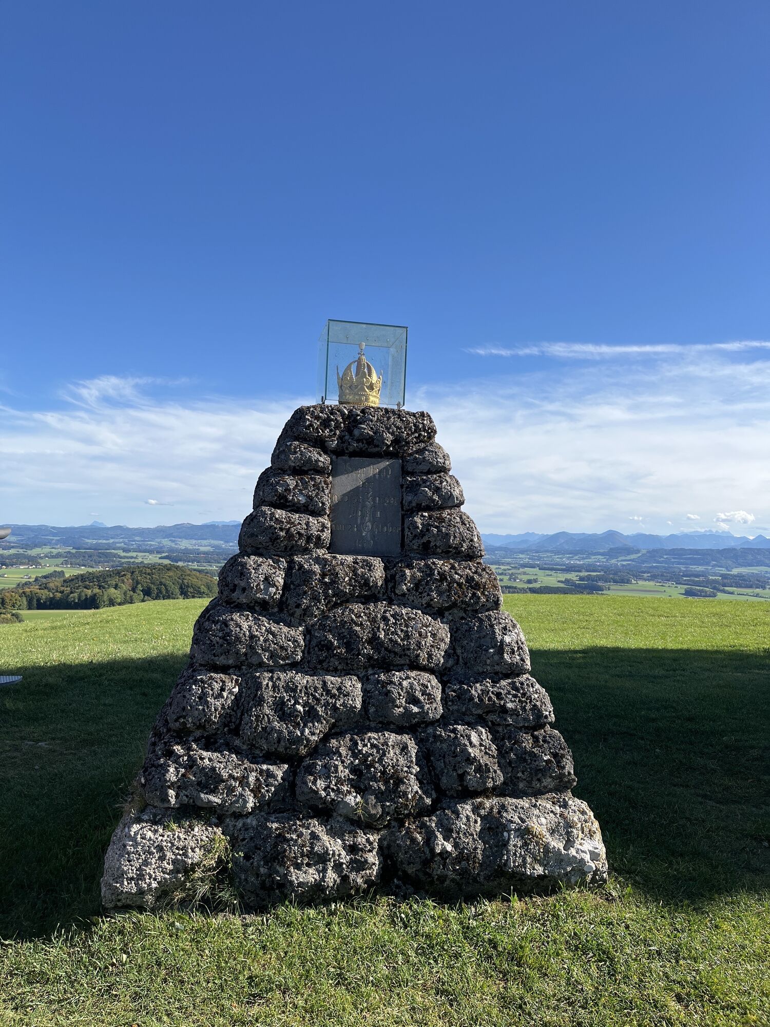


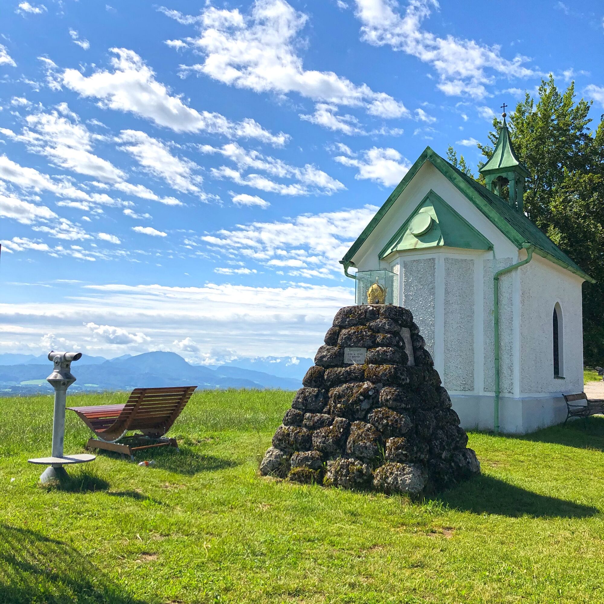
The hike starts directly at the Gasthof Kaiserbuche and the famous "Kaiserbam", originally planted in 1791 to commemorate the visit of Emperor Joseph II. In 2004, the tree was lost in a storm and was replaced...
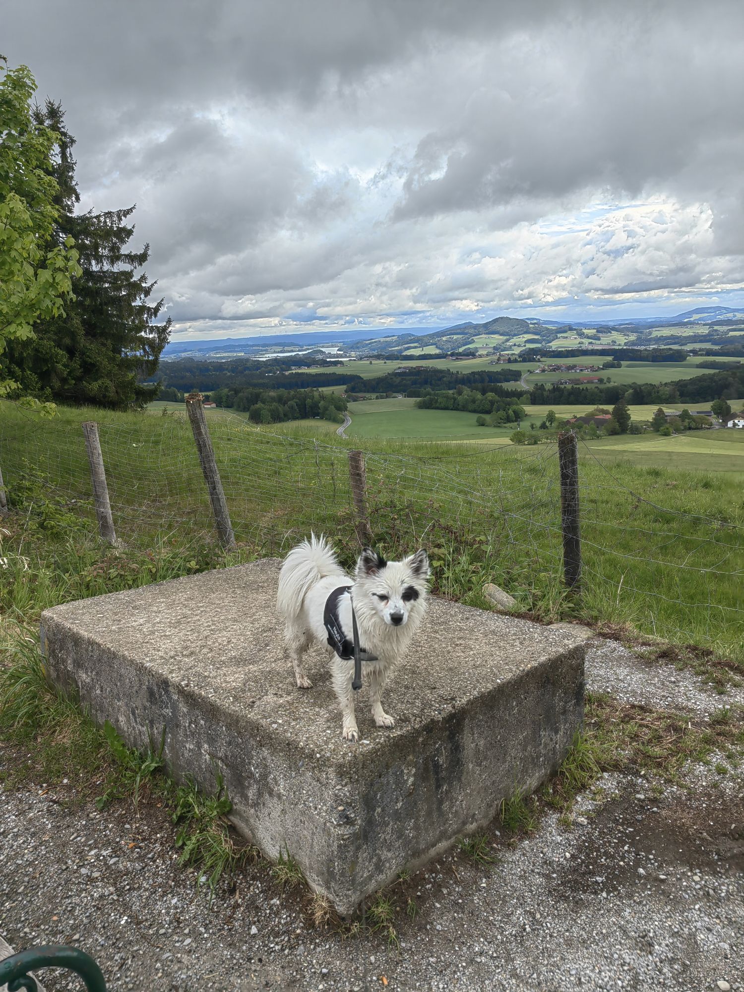
The hike starts directly at the Gasthof Kaiserbuche and the famous "Kaiserbam", originally planted in 1791 to commemorate the visit of Emperor Joseph II. In 2004, the tree was lost in a storm and was replaced by a new planting. The short hike offers great views over the Salzburg region and the Salzburg lake district.


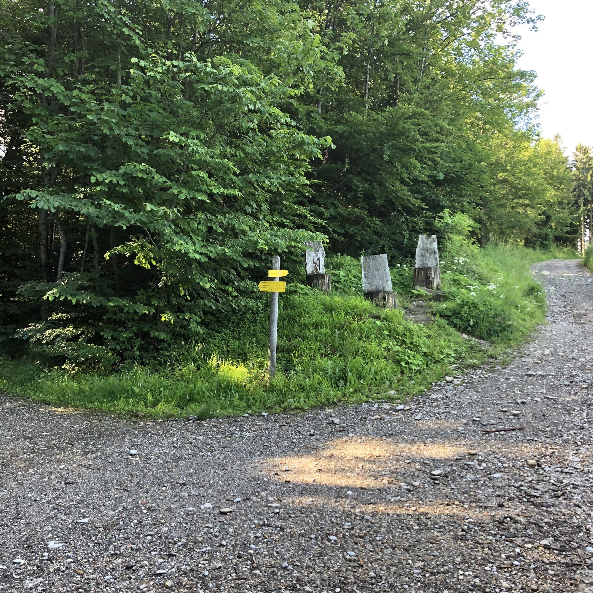
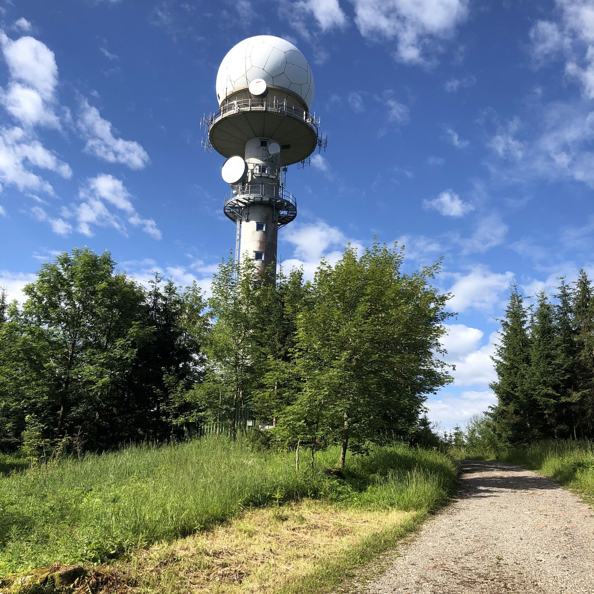
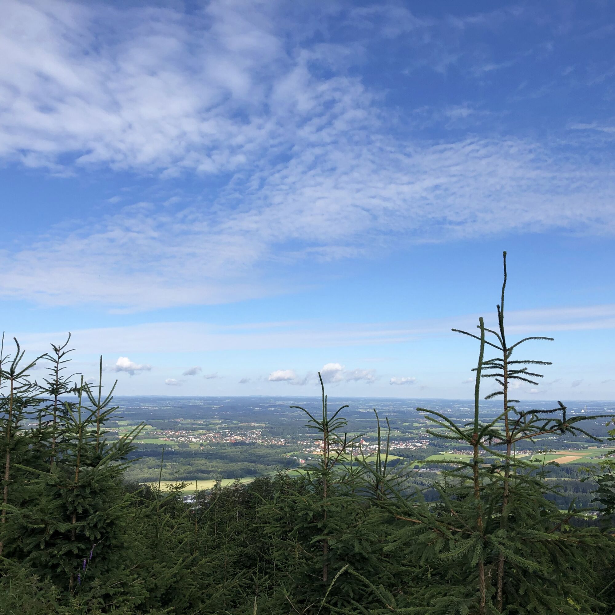
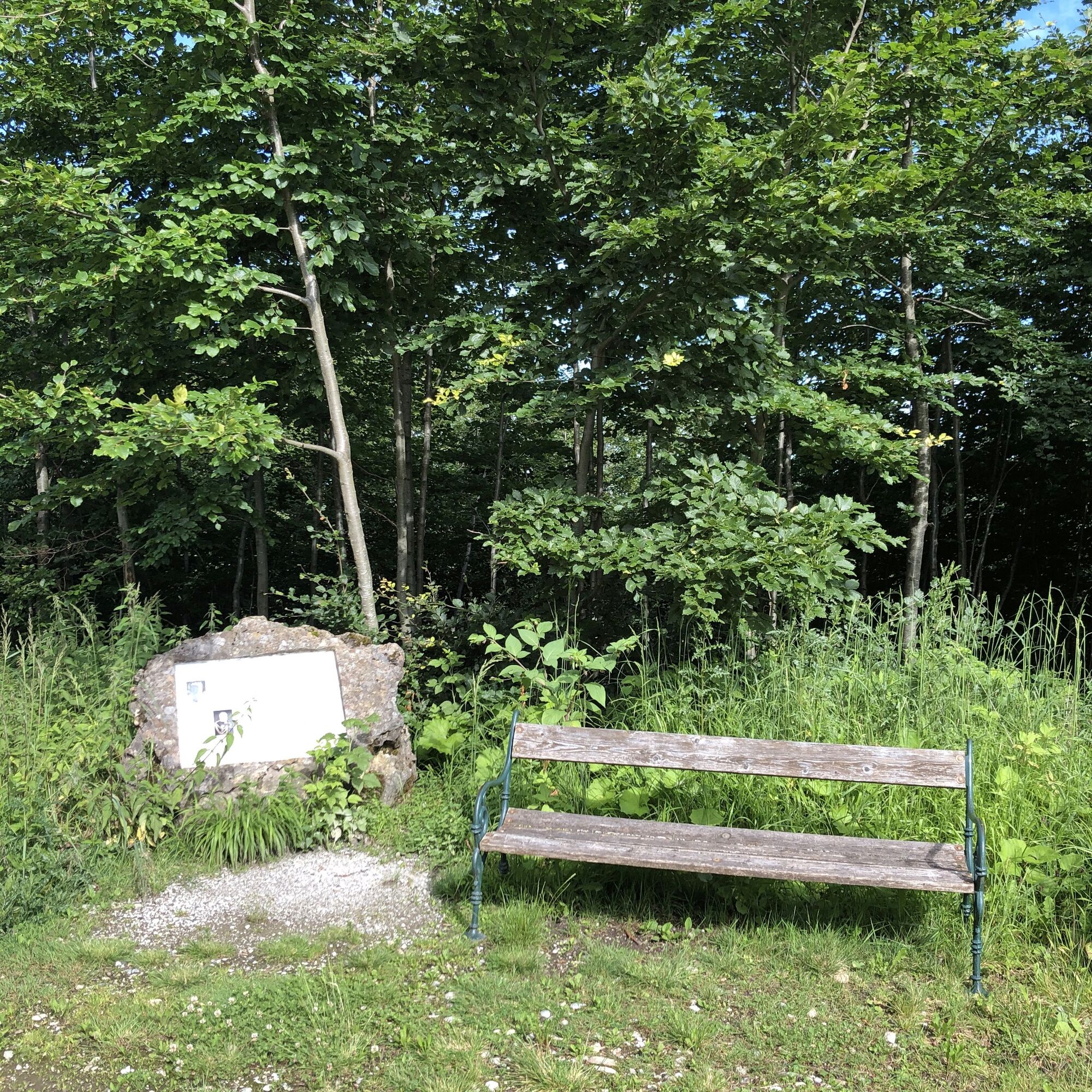
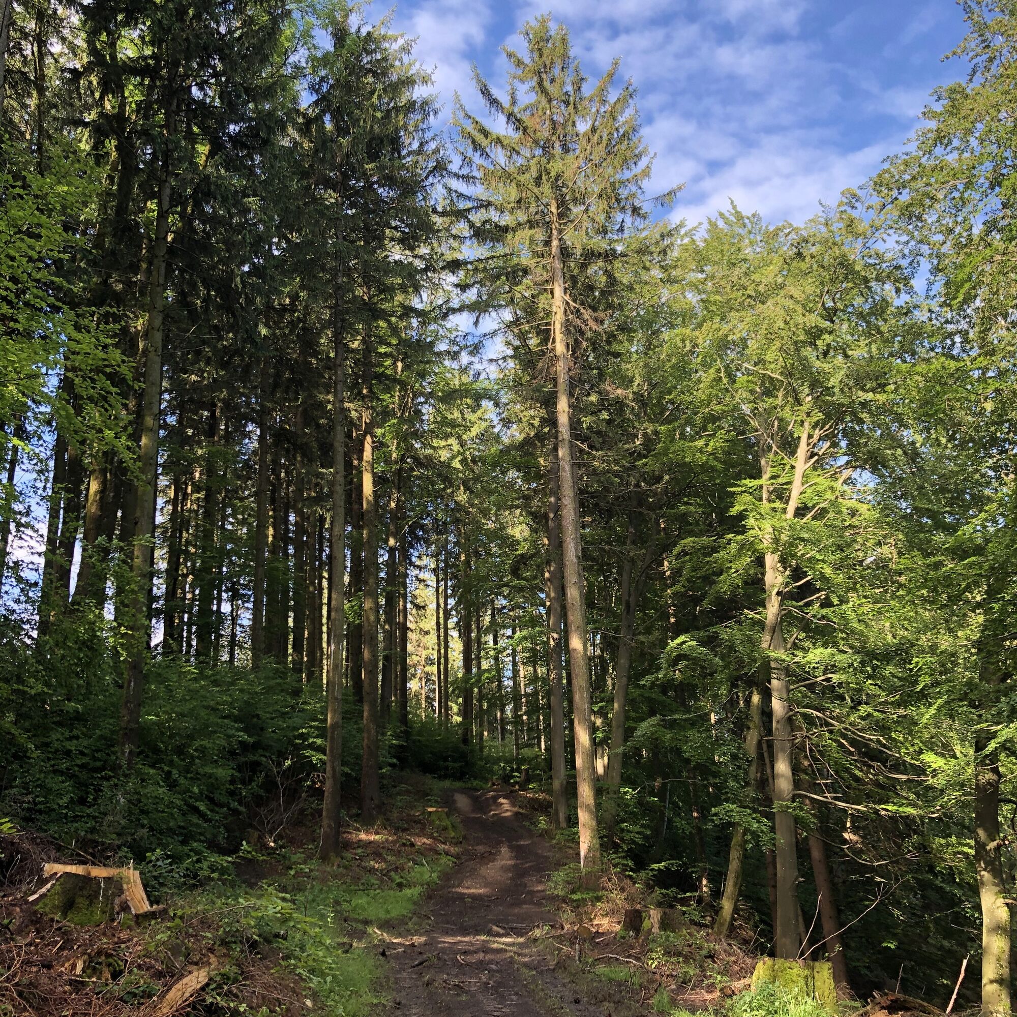
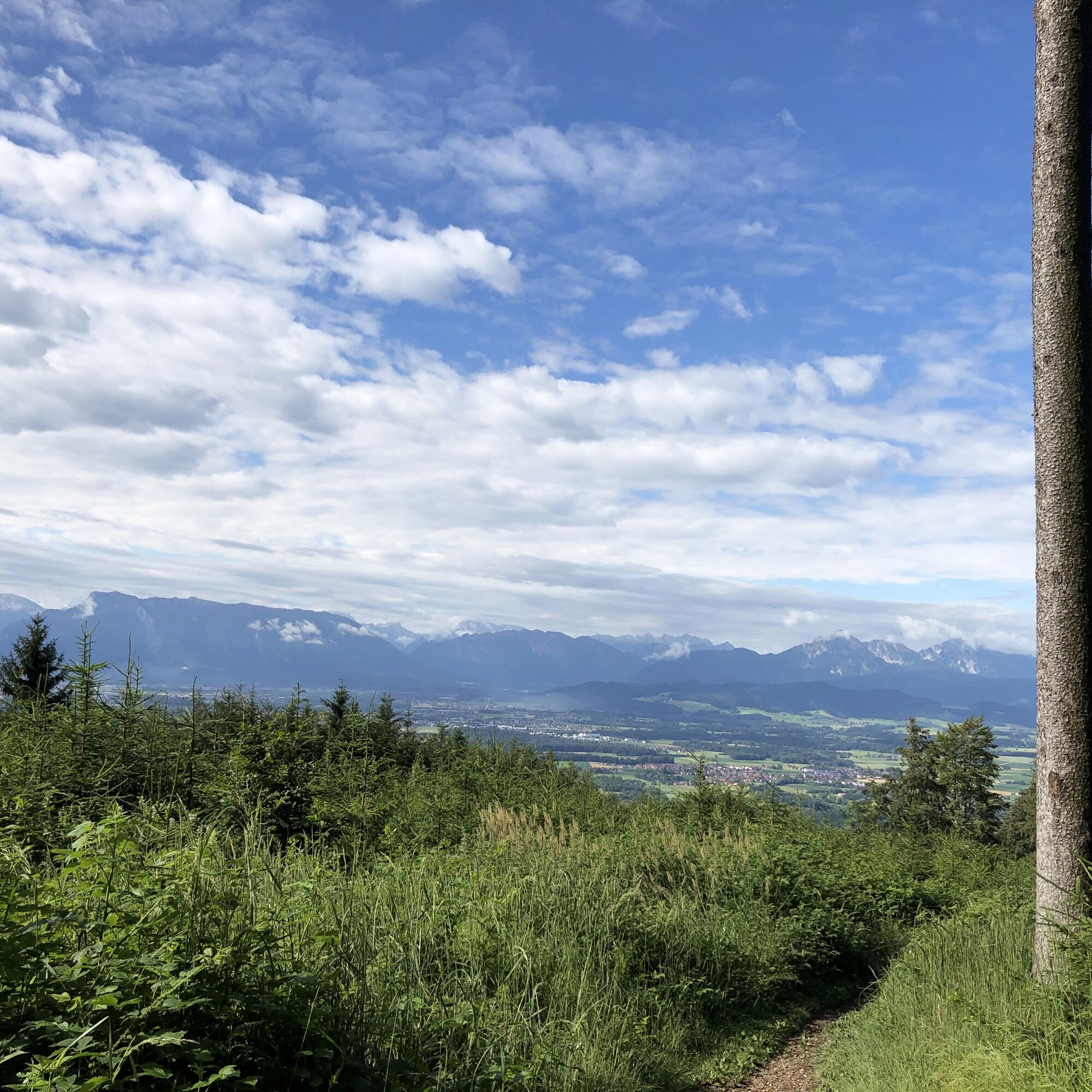
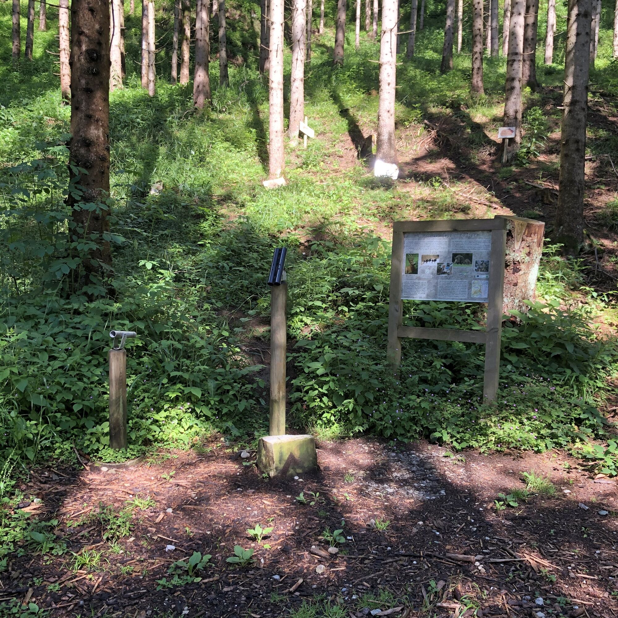
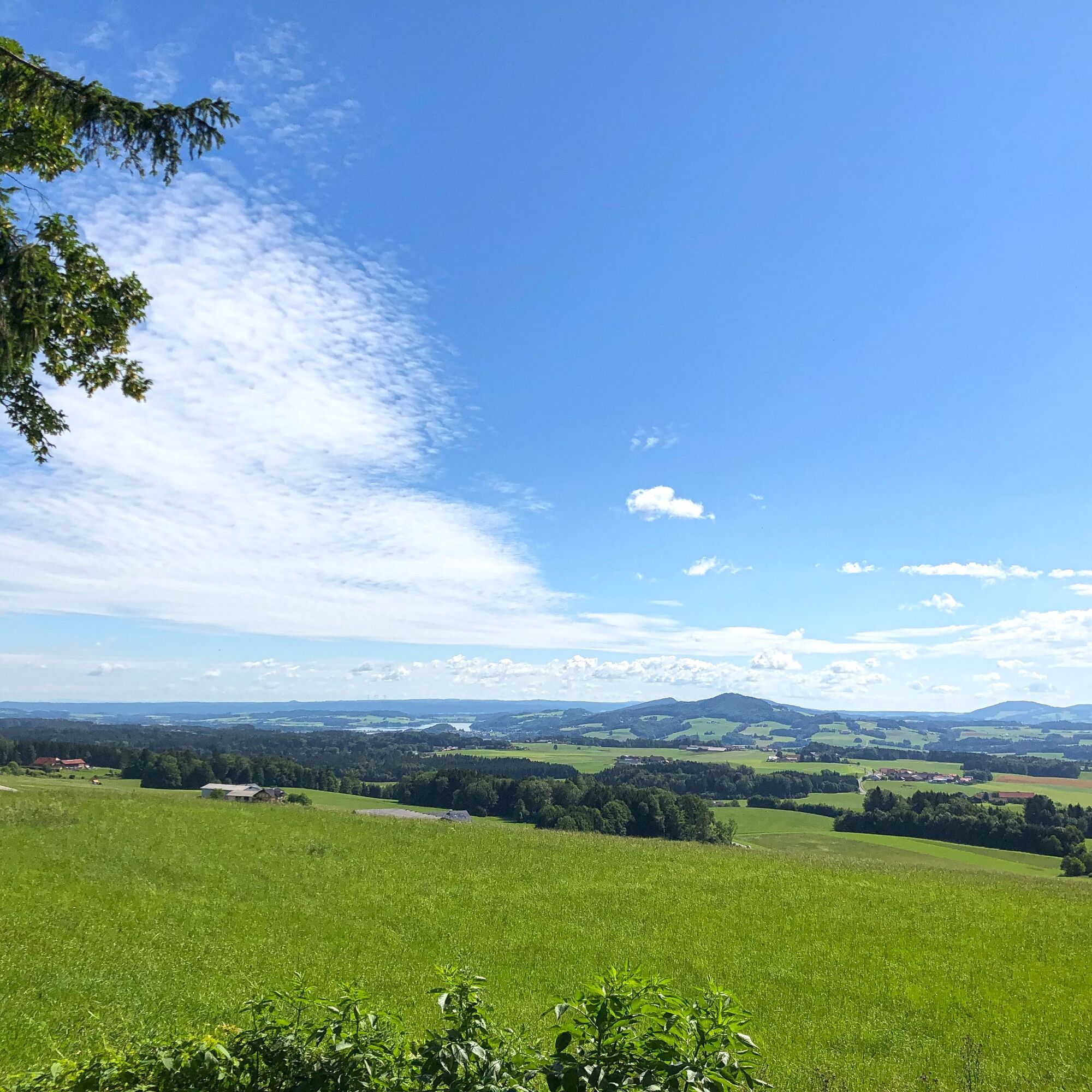
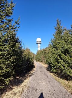
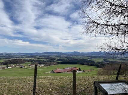
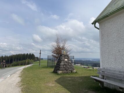
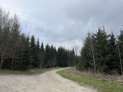
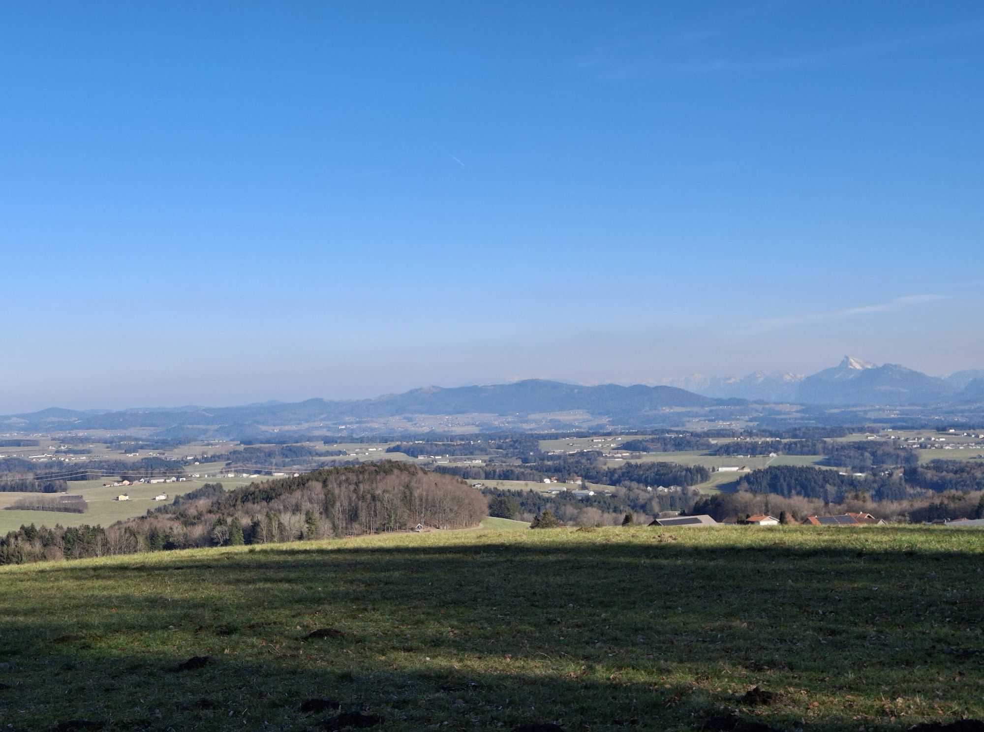
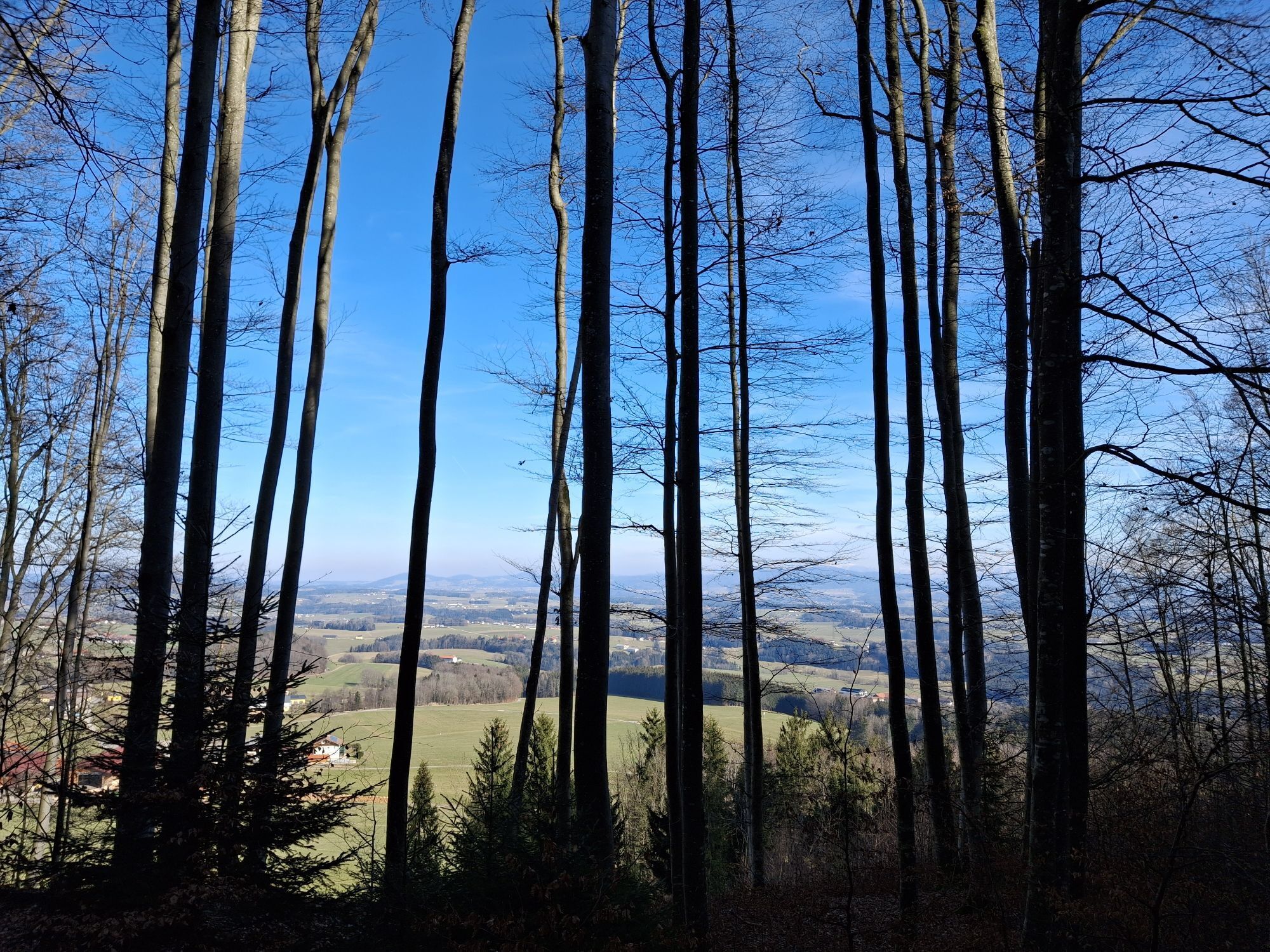
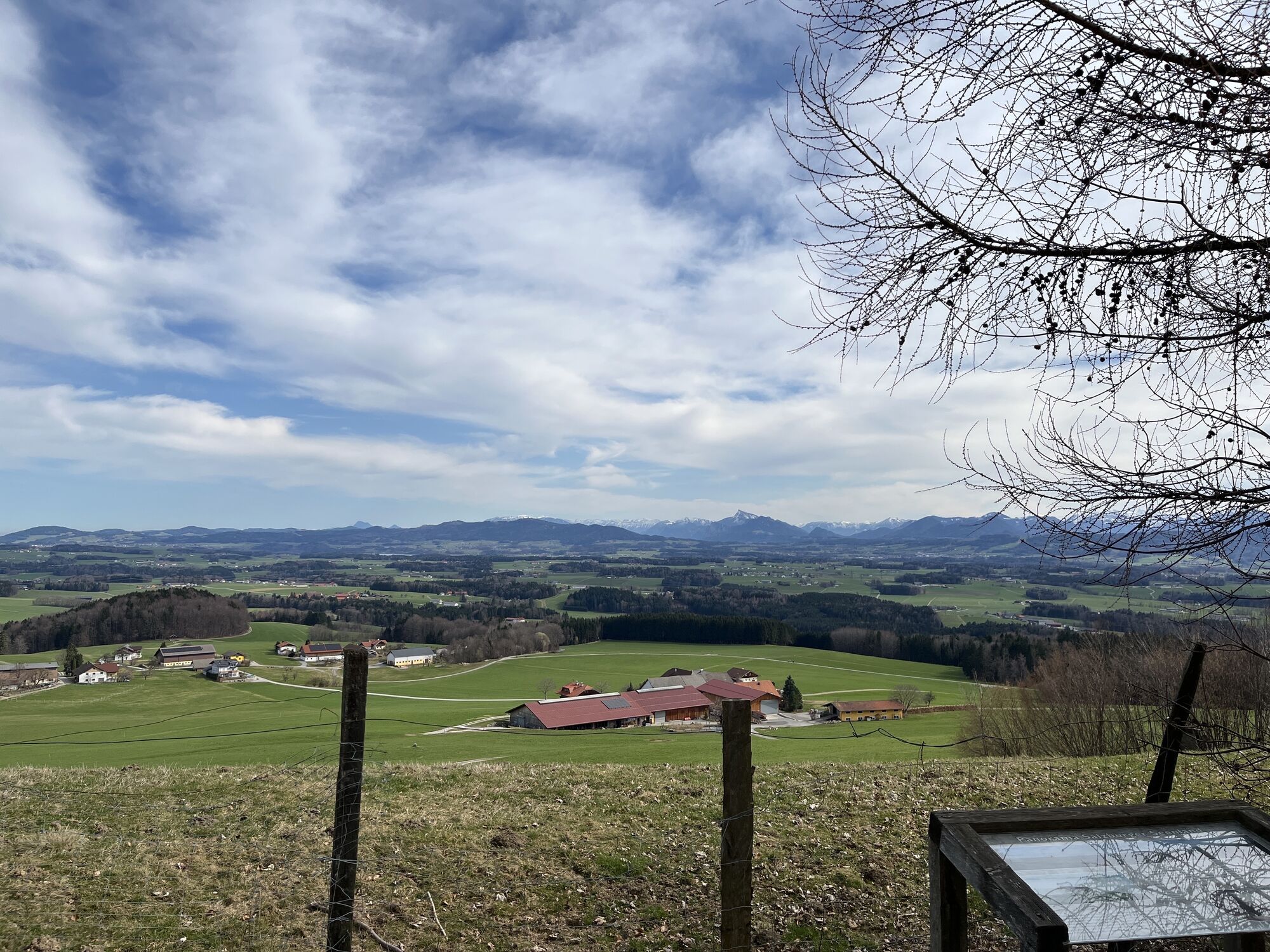
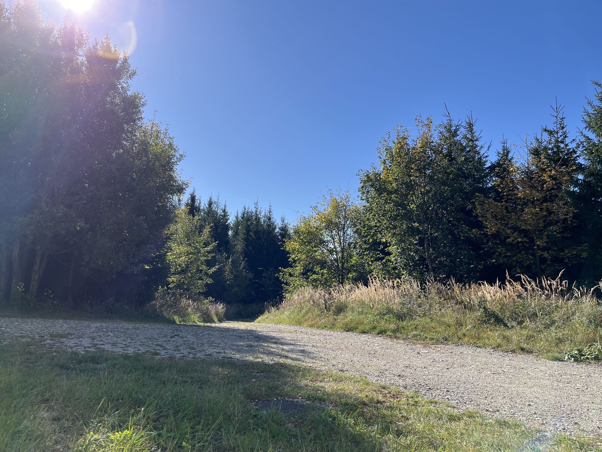
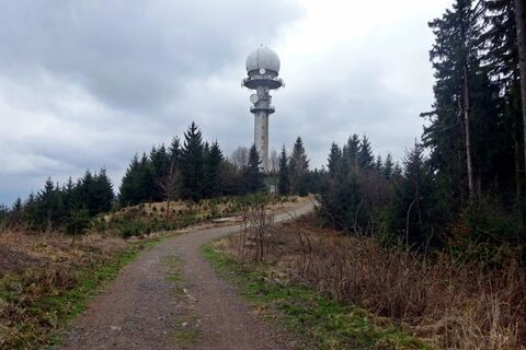
Behind the guesthouse – past the barrier – the gravel path gently ascends. After only a few meters, you reach the VEGA observatory. It goes slightly uphill again. At the first crossroads, keep straight ahead. Shortly afterwards, you will see the radar station of Austro Control. The imposing white tower of the facility is visible from afar. Behind it, there is a first rest area where you can take a short break. The gravel path continues along the Haunsberg. Wonderful views towards Nussdorf and Oberndorf, as well as numerous benches, invite you to linger. After about 10 minutes, the path turns slightly left into a wooded area and a short climb leads to the highest point of the hike. At the top, you are rewarded with the magnificent panorama of the Salzburg region, reaching the mountain ranges of the Tennengebirge and the famous Untersberg. Then it steeply goes downhill. We recommend wearing sturdy footwear despite the easy hike, as this forest and root section can be very slippery, especially after wet weather. At the bottom, turn left again on the gravel path back towards Kaiserbuche. Many information boards along the mostly shaded route tell interesting facts about Haunsberg and its surroundings. At the next fork, keep left until shortly afterwards the path merges into the "original route" and turns right back to the VEGA observatory and the parking lot. Treat yourself to a small refreshment at the Gasthaus Kaiserbuche or at a shady spot under the trees and enjoy the great view over the Salzburg lake district.
Tak
Sturdy footwear
Drive from Eugendorf on the Obertrumer Landesstraße to Obertrum. Take the 2nd exit at the roundabout towards Seeham. Turn left at the beach bath into Seestraße and follow the road past the fire brigade, continuing onto Haunsbergstraße. After about 3 km, turn sharply left (green sign "Kaiserbuche") and follow the road to the parking lot.
Free parking
The evening star tours at the VEGA observatory are worth an extra visit.
Aktywności na trasie
-
Obertrum am See, Salzburg/Österreich
12.04.2026 – Wędrówka -

Bezirk Salzburg-Umgebung, Salzburg/Österreich
09.04.2026 – Wędrówka -

Haunsberg...
15.03.2026 – Wędrówka -
Haunsberg mit Wegsperrung 🙁
13.03.2026 – Wędrówka -
Obertrum am See, Salzburg/Österreich
13.03.2026 – Wędrówka -
Obertrum am See, Salzburg/Österreich
25.10.2025 – Wędrówka -
Obertrum am See, Salzburg/Österreich
03.08.2025 – Wędrówka -

Haunsberg Kaiserbuche
09.01.2025 – Wędrówka
Popularne wycieczki w okolicy
-
3,7
Moorlehrpfad - Schönramer Filz
Wędrówka 3,38 km -
4,4
Bergheim bei Salzburg - Voggenberg Runde
średniWędrówka 12,0 km -
3,3
Wallersee Rundweg
średniWędrówka 17,7 km -
3,9
Grabensee Runde - Fraham
światłoWędrówka 7,78 km -
3,7
Mattsee Umrundung
światłoWędrówka 17,6 km -
4,3
Nockstein
światłoWędrówka 3,35 km -
4,1
Trumer Seen Route
Jazda na rowerze 25 km -
4,0
Buchberg, Mattsee
światłoWędrówka 5,77 km -
4,8
Gaisberg über Kühberg
średniWycieczki górskie 11,8 km -
5,0
Rundweg um den Abtsee
Wędrówka 5,07 km

Wędrówki i tropienie


Nie przegap ofert i inspiracji na następne wakacje
Twój adres e-mail została dodana do listy mailingowej.